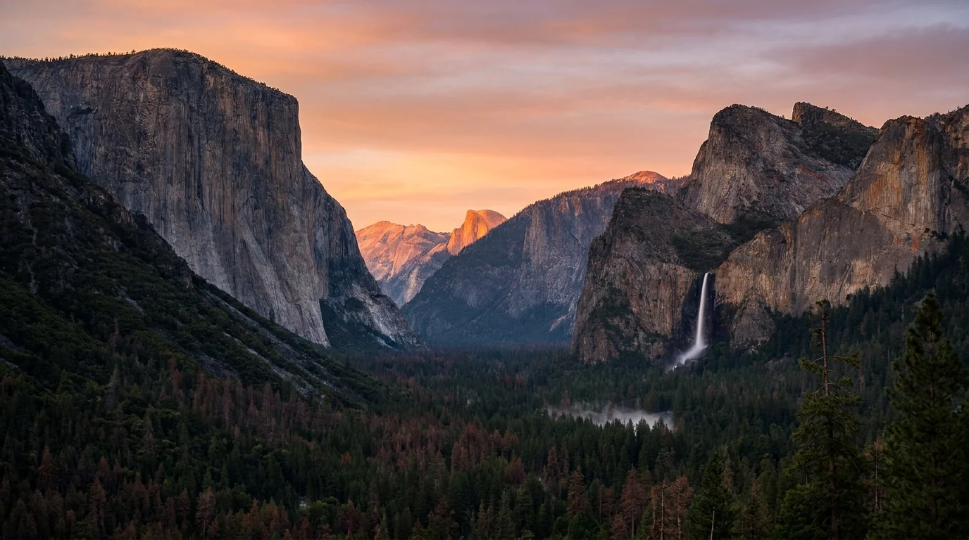
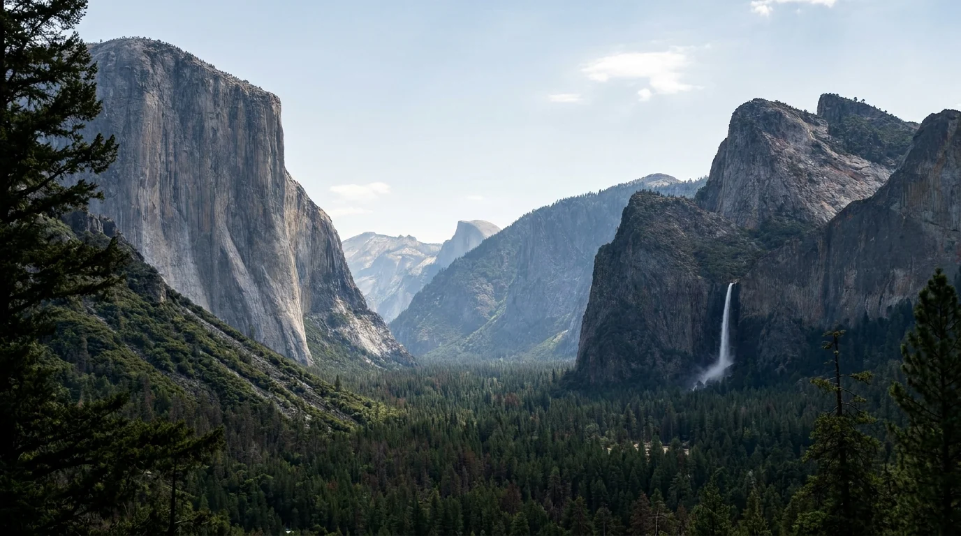
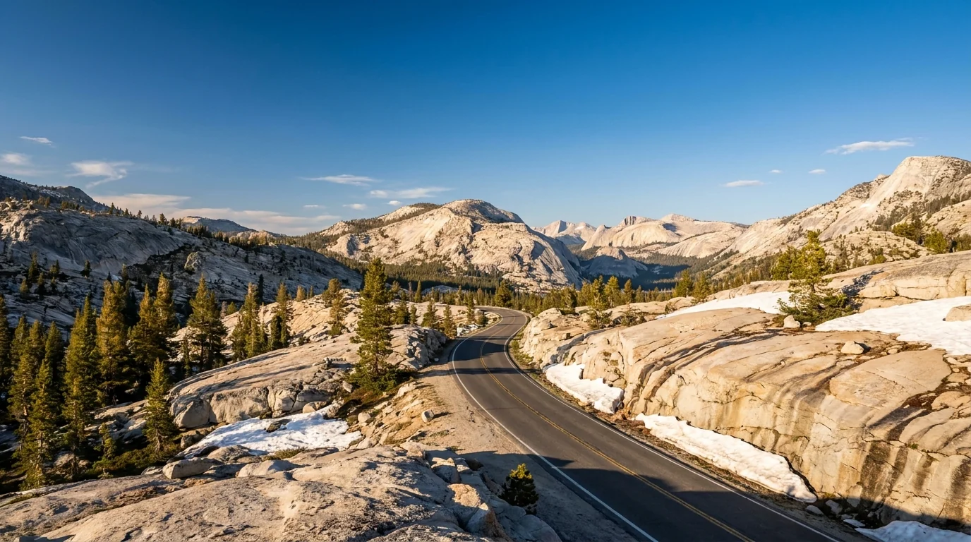
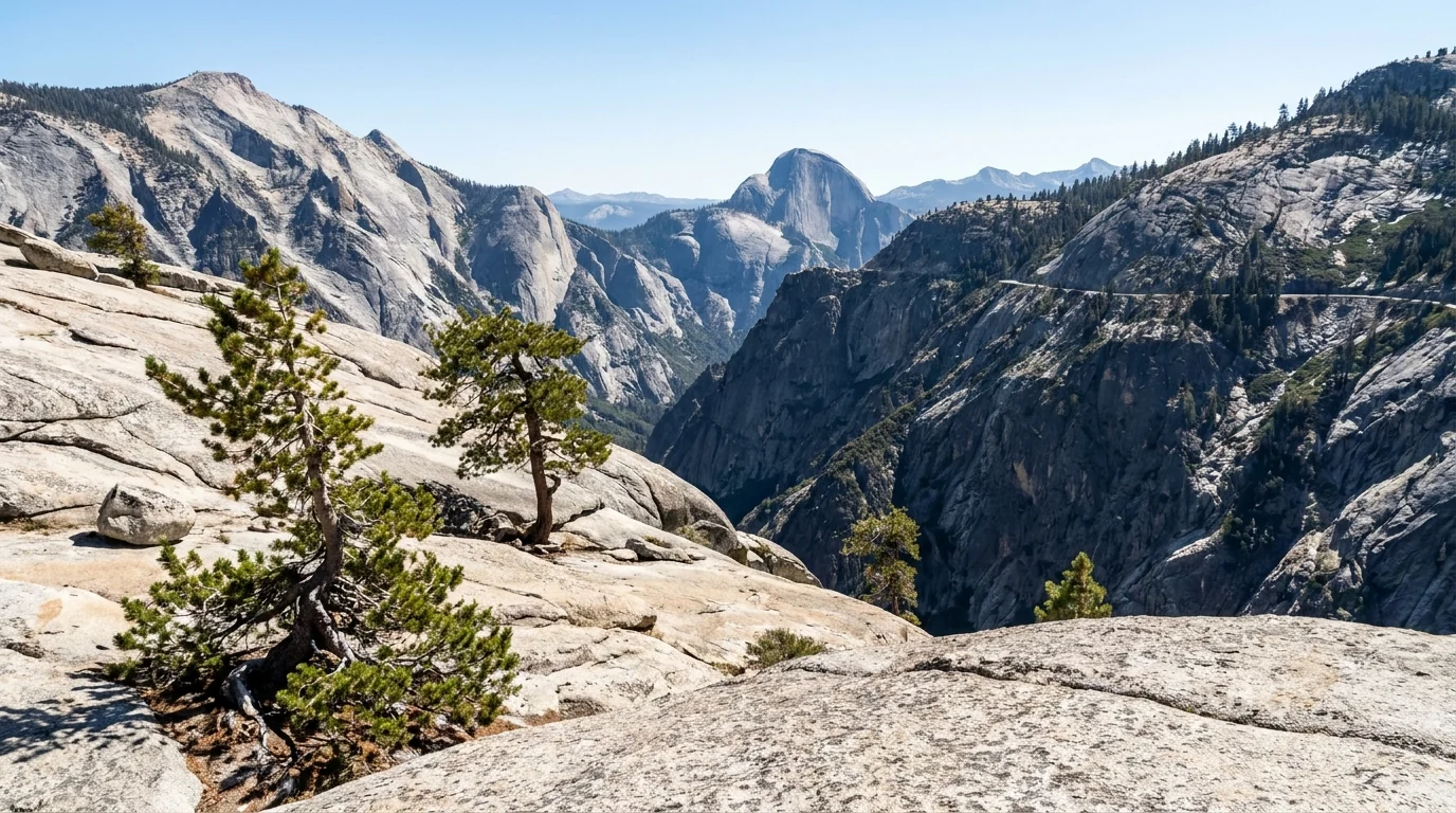
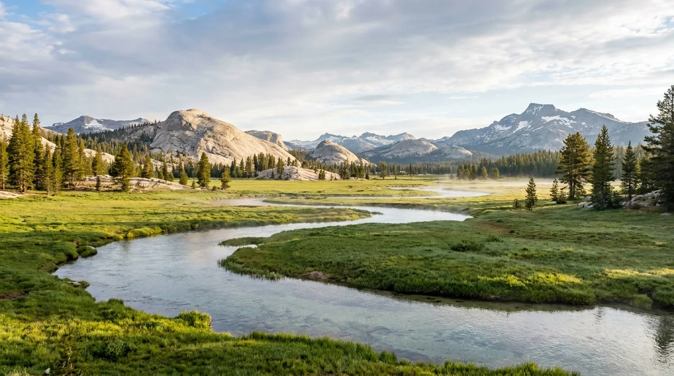
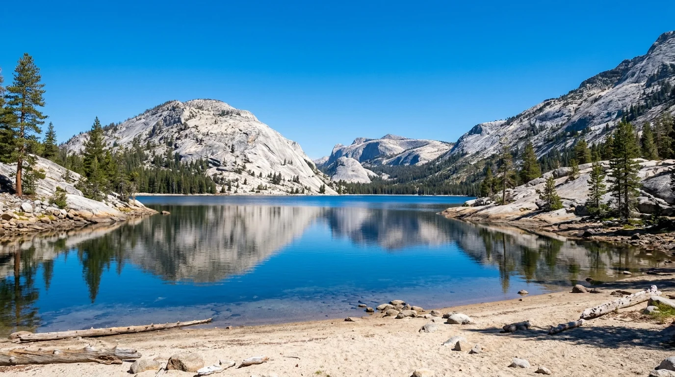
There are two Yosemites. One is the Valley everyone photographs — and lines up for an hour to enter on a July morning. The other is the high country up the Tioga Road, a 9,943-foot pass that is buried in snow half the year and that most visitors never reach. This guide plans both: the 2026 entry-and-parking reality, the seasonal-road timing that decides your whole trip, the Half Dome cables lottery, the campgrounds that get you inside the gate, and the honest list of what nobody could confirm.
The rest of this journal is evergreen; this box is not. In Yosemite two things decide whether your plan works before you lace a boot — whether the Tioga Road and Glacier Point Road are open (§03), and how you handle the peak-season entry and parking crush (§02). Both change season to season and week to week. Everything below is dated to the day we checked it. Trust the live NPS sources, not our date stamp.
Yosemite is really two parks stacked on top of each other. Down low is the Valley — a mile-wide, glacier-carved trench with El Capitan, Half Dome, Yosemite Falls and Bridalveil Fall stacked along seven miles of road, and the crowds and parking pressure that come with being one of the most famous landscapes on Earth. Up high, reached only when the Tioga Road melts out, is a second Yosemite of pale granite domes, meadows braided with rivers, and alpine lakes at 8,000 to 10,000 feet — Tuolumne Meadows, Tenaya Lake, Olmsted Point, the Cathedral Range. Most visitors see only the first. This guide is built to get you into both, and to keep you from wasting a morning at a gate or a closed road.
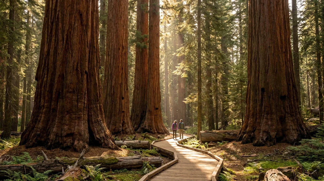
Waterfalls in spring — Yosemite, Bridalveil, Vernal, Nevada — then the high country in summer: Tenaya Lake, Cathedral Lakes, the Tuolumne domes, and the giant sequoias of the Mariposa Grove (§04, §05).
The Valley is small and wildly popular. Reported hour-plus entrance lines and full lots by mid-morning in summer mean the winning move is simple: arrive before 8 a.m. or after 5 p.m., or sleep inside the park (§02, §07).
The high country runs on snow. The Tioga and Glacier Point roads open late spring and close with the first storm; the falls peak with May–June snowmelt. When you go decides what you can even reach (§03, §09).
Three separate systems decide access here, and people routinely confuse them. The first is whether you need a reservation just to enter the park — a policy that has changed almost every year. The second is parking, which is the real bottleneck in the Valley regardless of any reservation. The third is the permits for the marquee experiences: the Half Dome cables and any overnight in the wilderness. Sort out which of these applies to your trip before you drive in.
| The system | Applies to | How it works (reported) | The catch |
|---|---|---|---|
| Park entry changes yearly |
Everyone driving in | No day-use reservation reported for 2026. Standard entrance fee applies (per-vehicle, 7 days) | Lines, not permits, are the 2026 bottleneck — an hour+ from ~8 a.m.–5 p.m. in summer. Confirm the current-year policy at nps.gov |
| Valley parking the real limiter |
Day visitors to the Valley | First-come; day-use lots fill by mid-morning in peak season. A free shuttle loops the east Valley | Arrive before 8 a.m. or after 5 p.m., or camp/stay inside the park and leave the car parked |
| Half Dome cables lottery |
Anyone going up the cables | ~300/day. Preseason lottery (apply 1–31 Mar, results mid-Apr), daily lottery (2 days out), or wilderness-permit add-on | Application + per-person fees; cables only up ~late May–mid Oct. Confirm dates & fees on Recreation.gov |
| Wilderness permit overnights only |
All backcountry overnights | Advance permit via Recreation.gov, trailhead-quota system; bear canister required | Popular trailheads sell out months out. Day hikes need no wilderness permit |
Every figure above is the reported 2026 arrangement. Yosemite's entry policy in particular has changed almost every year — confirm whether a reservation applies to your dates before you build a plan around driving in.
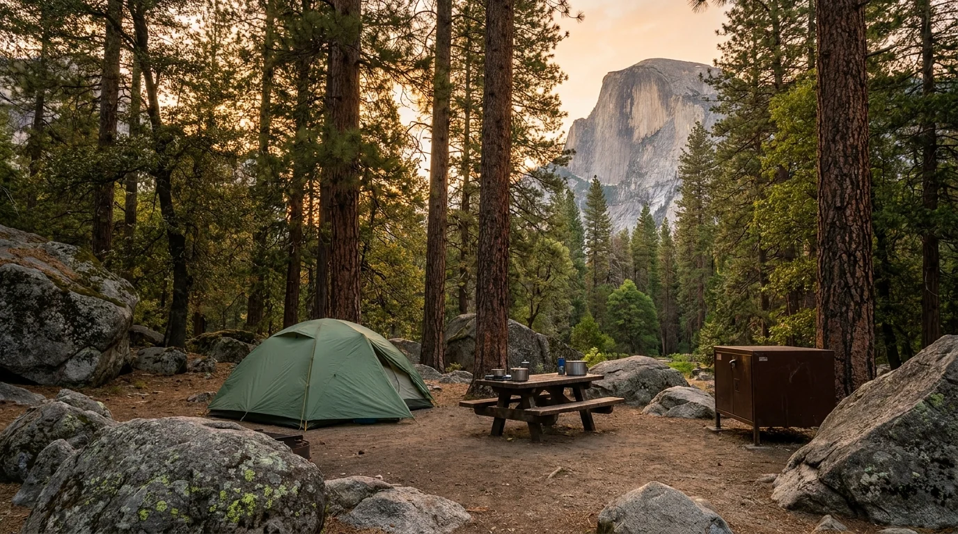
A campsite or lodge reservation inside Yosemite is the camper's version of a skip pass: you are already through the entrance and parked before the day-trippers arrive, and you can walk or shuttle to the trailheads. The Valley's Upper, Lower and North Pines are the prizes (§07), released on Recreation.gov five months out, on the 15th of each month at 7 a.m. Pacific — and gone within minutes for summer dates.
Not having an entry reservation is not a wilderness permit, a Half Dome permit, or a parking guarantee. Backpacking overnight needs a separate Recreation.gov wilderness permit and a bear canister (§07); the Half Dome cables need their own lottery permit; and the Valley lots fill regardless. Budget for each system that applies to your trip.
Dogs are heavily restricted — allowed only on paved roads, in developed areas and a few paved trails, leashed, and not on most trails or any wilderness. This is a national park, not a national forest (§06).
More than most parks, Yosemite is gated by its roads. Two of them climb into terrain that is snowbound half the year and simply do not exist as options in winter or early spring — and one of those, the Tioga Road, is the only way to two-thirds of the park's landscape. Know which roads are open before you plan a day, a crossing, or a shortcut around any of them.
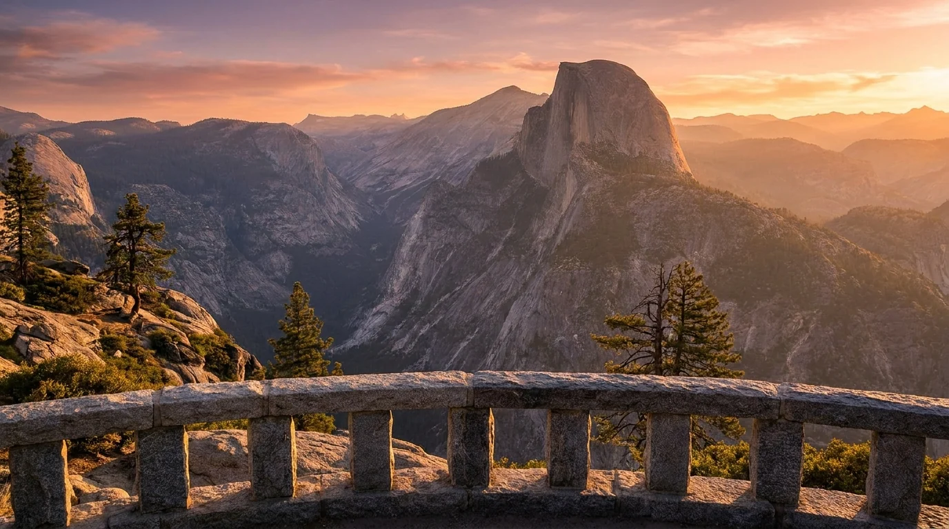
A paved dead-end road climbing from the Wawona Road to Glacier Point (~7,214 ft), the cliff-edge overlook staring straight across at Half Dome and down into the Valley. It also serves the Bridalveil Creek campground and the Sentinel Dome / Taft Point / Panorama trailheads (§04).
Seasonal: opened 9 May 2026 (per NPS) and closes for winter with the snow. When it's shut, Glacier Point is a strenuous hike or a cross-country ski, not a drive. Confirm status before planning a sunset there.

The Hetch Hetchy Road (off Hwy 120 near the Big Oak Flat entrance) is open daylight hours only — sunrise to sunset — and can require chains or close in winter (§05).
The park's four entrances: Big Oak Flat (Hwy 120 W, via Groveland), Arch Rock (Hwy 140, via Mariposa/El Portal — the lowest, least snow-prone approach), the South Entrance (Hwy 41, past the Mariposa Grove), and the seasonal Tioga Pass (Hwy 120 E, via Lee Vining) — open only when the Tioga Road is.
Winter driving: chains can be required on any park road November–April; carry them and check conditions.
Yosemite Valley stays open all year, on a one-way loop road, with a free shuttle bus serving the east Valley trailheads, campgrounds and Yosemite Village. In summer the smart play is to park once — at your campground or a day-use lot early — and ride the shuttle rather than fight the loop for parking all day.
Wawona Road (Hwy 41) connects the Valley to Tunnel View, the Glacier Point Road, Wawona and the South Entrance and stays open year-round (chains permitting), making it the reliable spine when the Tioga Road is shut.
Yosemite publishes trail distances more consistently than a mixed-use forest does, but numbers still vary by trailhead sign, junction and source — so treat the figures below as planning estimates to confirm at the trailhead, and budget generously for altitude and heat in the Valley. Times are fit-hiker estimates, not official figures. All mileages are round trip unless noted, and several of the best hikes are gated by whether the Tioga or Glacier Point roads are open.
All from the Valley floor (~4,000 ft), reachable year-round. In summer, ride the free shuttle to the trailheads rather than hunting for parking.
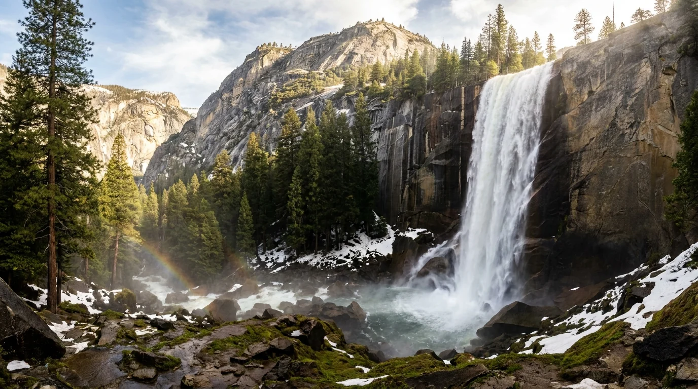
~3 mi RT to the top of Vernal Fall, ~7 mi RT to Nevada Fall, with steep granite steps that run with spray at peak flow. Strenuous, iconic, and best May–June when the falls thunder. The stone steps are slick and crowded; many people turn at the footbridge (~1.6 mi RT).
People have died going into the Merced above the falls. Stay behind railings, keep off wet rock near the lip, and never swim above a waterfall. Distances are NPS-cited estimates — confirm at the trailhead.
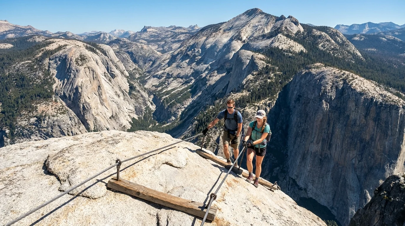
~14–16 mi RT · ~4,800 ft of gain from the Valley, ending on the steel cables up the final dome. A very long, strenuous day — a permit is required (§02), roughly 300 day hikers/day, and the cables are only up part of the year.
Do not go up the cables in the wet or with storms building — the polished granite is deadly when slick, and people have died here. Start before dawn, carry gloves and plenty of water, and turn around for weather. Distance/gain are consensus estimates.
~7.2 mi RT · ~2,700 ft of gain to the top of North America's tallest waterfall, on a relentless switchbacking trail. Strenuous, fully exposed to sun on the climb — a hot, dry slog by mid-day. Start early with real water.
The rim near the fall is exposed and the rock is slick with spray in spring; stay on the trail and behind railings. Figures are NPS-cited estimates.
All reached up the Tioga Road (§03). Trailheads sit at 8,000–9,000+ ft — pace for altitude, and watch the afternoon sky.
~7 mi RT to Lower Cathedral Lake · ~1,000 ft of gain from Tuolumne Meadows, on the John Muir Trail to a granite-rimmed lake under the spire of Cathedral Peak. Moderate but at altitude (trailhead ~8,600 ft). One of the great half-days in the park.
A popular quota trailhead for overnights (day hiking needs no permit). Fully exposed up high — start early and be watching the sky by noon. Distances are consensus estimates.
~2.8 mi RT · ~900 ft of gain to the top of a granite dome above Tuolumne Meadows, with a huge panorama of the Cathedral Range. Moderate, with a walk-up granite-slab finish — no cables, but real exposure near the top.
The slabs are slick when wet and the drop-offs are serious; keep back from edges and don't go up in a storm. Figures are consensus estimates.
Each ~2.2 mi RT, modest gain from the Glacier Point Road (they share a trailhead). Sentinel Dome is a gentle walk-up to a 360° granite summit; Taft Point ends at a railing-free cliff edge and the "Fissures." Easy-to-moderate, and open only when the road is (§03).
Taft Point has unfenced cliff edges with a lethal drop — hold children, stay well back, and don't clown for photos. Distances are NPS-cited estimates.
| Hike | Access | Round trip* | Gain* | Permit / gate |
|---|---|---|---|---|
| Vernal Fall footbridge | Valley (Happy Isles) | ~1.6 mi | ~400 ft | None |
| Vernal & Nevada Fall (Mist Trail) | Valley (Happy Isles) | ~3–7 mi | ~1,000–2,000 ft | None |
| Upper Yosemite Fall | Valley (Camp 4) | ~7.2 mi | ~2,700 ft | None |
| Half Dome (cables) | Valley (Happy Isles) | ~14–16 mi | ~4,800 ft | Permit (lottery) |
| Cathedral Lakes | Tuolumne Meadows | ~7 mi | ~1,000 ft | None (overnight = permit) |
| Lembert Dome | Tuolumne Meadows | ~2.8 mi | ~900 ft | None (Tioga Rd open) |
| Sentinel Dome / Taft Point | Glacier Point Rd | ~2.2 mi each | modest | None (road open) |
| Wapama Falls | Hetch Hetchy | ~5 mi | ~500 ft | None (overnight = permit) |
*Distances and gains are consensus estimates from NPS pages and trail guides and vary by source and trailhead sign. Confirm at the trailhead. Half Dome and the high-country / Glacier Point hikes are gated by permits and by whether the seasonal roads are open. Times in the entries above are fit-hiker estimates, not official figures.
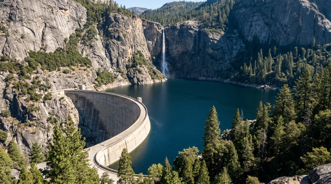
Two corners of Yosemite sit apart from the Valley-and-Tioga axis and reward the detour: the Mariposa Grove of Giant Sequoias at the south end, home to the park's biggest living things, and Hetch Hetchy at the northwest edge — a glacial valley the size of Yosemite Valley, drowned under a reservoir a century ago, and now the park's quietest, lowest-permit backcountry gateway. Both have access quirks that catch people out. Here's the straight version.
The grove sits just inside the South Entrance (Hwy 41). In peak season private vehicles cannot drive to the grove — you park at the Mariposa Grove Welcome Plaza and ride a free shuttle, then walk. Easy loops reach the Grizzly Giant and California Tunnel Tree (~2 mi RT); longer trails climb into the upper grove.
Shuttle operation is seasonal and the grove road closes in winter (walk/ski/snowshoe in). Confirm current shuttle status and any accessibility-vehicle rules on nps.gov before you go.
A separate entrance off Hwy 120 near Big Oak Flat leads to the O'Shaughnessy Dam and the 8-mile reservoir that supplies San Francisco's water. The road is open daylight hours only (sunrise–sunset), and the classic day hike crosses the dam to Wapama Falls (~5 mi RT, ~500 ft), thunderous in spring.
Wapama's footbridges can be dangerous or impassable at peak flow — people have been swept off. Overnights beyond Wapama need a wilderness permit; the Hetch Hetchy Entrance is an easy place to pick one up. Confirm daylight-hours gate times and Nov–Mar chain/closure rules.
Most of what goes wrong in Yosemite is not exotic — it is water, heights, and complacency around famous scenery. Fast, cold rivers above waterfalls kill people almost every year. Unfenced granite edges kill more. Then come the practical hazards: black bears that are expert food thieves, altitude in the high country, and real heat and sun in the Valley and at Hetch Hetchy. None of it is a reason to stay home; all of it needs planning.
The single most common way people die here is going into cold, fast water above a waterfall and being swept over. The Merced in spring is snowmelt-cold and far stronger than it looks.
Stay behind railings, off wet rock near any lip, and never swim or wade above a fall. The Mist Trail steps and the Vernal/Nevada Fall rim are the highest-risk spots. This is the rule that saves lives here.
This is general safety guidance, not a substitute for posted signs and ranger advice on the day.
If a black bear approaches: stand tall, make noise, and act aggressively to scare it off — never run, and never approach a bear or a cub for a photo. Give any bear a wide berth.
Tuolumne Meadows sits at ~8,600 ft, Tioga Pass at 9,943, and many trailheads run 8,000–10,000 ft. Acute mountain sickness can start around 8,000 ft regardless of fitness. If you've come from sea level, don't make your first day a big high-country climb — sleep a night lower, hydrate, and pace yourself. Afternoon thunderstorms build over the high country most summer days; be off exposed domes and passes by early afternoon.
The Valley, Hetch Hetchy and the foothills get genuinely hot and dry in summer, and the classic Valley climbs (Upper Yosemite Fall, the Mist Trail switchbacks) are sun-blasted. Carry more water than you think, start early, and don't underestimate a "short" exposed climb. Wildfire smoke can settle into the Valley for days in late summer — check air-quality and fire alerts, and have a flexible plan. Confirm current fire and air-quality status before and during your trip.
Camping is the single best way to beat Yosemite's entry-and-parking crush — but the good campgrounds are as competitive as the park is famous. Thirteen frontcountry campgrounds run from the Valley floor up the Tioga Road, plus first-come Inyo National Forest grounds on the Tioga east side. The reservable ones release on Recreation.gov five months out, on the 15th of each month at 7 a.m. Pacific, and Valley summer dates vanish in minutes. Book the Pines the instant the window opens, or aim at the easier corridors below.
| Campground | Corridor · elev | Sites* | 2026 season* | Booking | Reported fee* |
|---|---|---|---|---|---|
| Upper Pines | Valley · ~4,000 ft | ~238 | year-round | Reservation | $36 |
| Lower Pines | Valley · ~4,000 ft | ~60 | ~spring–fall | Reservation | $36 |
| North Pines | Valley · ~4,000 ft | ~81 | ~spring–fall | Reservation | $36 |
| Camp 4 (walk-in, climbers') | Valley · ~4,000 ft | ~35 (shared) | year-round | Reservation (peak lottery) | $10/person |
| Wawona | South / Hwy 41 · ~4,000 ft | ~99 | year-round | Reservation (summer); FCFS winter | $36 |
| Bridalveil Creek | Glacier Point Rd · ~7,200 ft | ~110 | summer (road-season) | Reservation | ~$30 (confirm) |
| Hodgdon Meadow | Big Oak Flat / Hwy 120 · ~4,900 ft | ~105 | year-round | Reservation (summer); FCFS winter | $36 |
| Crane Flat | Hwy 120 / Tioga jct · ~6,200 ft | ~166 | summer | Reservation | $36 |
| White Wolf | Tioga Road · ~8,000 ft | ~56 | summer (road-season) | Reservation | ~$24 (confirm) |
| Tuolumne Meadows | Tioga Road · ~8,600 ft | ~304 (post-rehab; confirm) | summer (road-season) | Reservation (2-mo + rolling) | $36 |
| Tioga Lake (Inyo NF) | Tioga east side · ~9,700 ft | ~13 | ~Jun–Oct (pass-season) | First-come | confirm at site |
| Ellery Lake (Inyo NF) | Tioga east side · ~9,500 ft | ~12 | ~Jun–Oct (pass-season) | First-come | ~$28 (+$10 extra vehicle) |
*Site counts, seasons and some fees are compiled from Recreation.gov, NPS and Forest Service listings and vary by source and season. Confirmed 2026 fees: the Valley Pines, Wawona, Hodgdon Meadow, Crane Flat and Tuolumne Meadows at $36; Camp 4 at $10/person; small Tioga Road grounds around $24. Bridalveil Creek, White Wolf and the Tuolumne site count are shown as "confirm." Book by site on Recreation.gov and read the actual price, dates and RV limits. The Inyo NF grounds (Tioga Lake, Ellery Lake) are first-come and open only when Tioga Pass is.
Reservable Yosemite campgrounds release five months in advance, on the 15th of each month at 7 a.m. Pacific, on Recreation.gov — and popular summer dates are gone within minutes. Be logged in and ready. Tuolumne Meadows uses a split system (a two-month-ahead block plus a rolling two-week window).
Food-storage lockers are mandatory at every campground — everything scented goes in the locker, not the car (§06). Generator hours, RV length limits and first-come winter rules vary by ground — read the site page. Confirm current opening dates on nps.gov; the high-country grounds' seasons track the Tioga Road.
Yosemite has almost no groceries or fuel inside it — no gas station in the Valley — so your resupply plan is really a choice of which gateway you come through. Groveland guards the Big Oak Flat (west) entrance; Mariposa and El Portal sit along the Highway 140 Merced-canyon approach; Oakhurst and Fish Camp anchor the south; and Lee Vining, on Highway 395, is the east-side gateway that only matters when the Tioga Road is open. Stock up in the gateway town, because prices climb and choices thin as you near the park.
Store and service specifics change; confirm hours before relying on them. There is no fuel in Yosemite Valley — fill up in a gateway town.
The east side is a long, high drive from the Valley and only connected when Tioga is open. Confirm current Lee Vining services before relying on them.
We list only businesses whose own public websites we could resolve. Several well-known Lee Vining spots (e.g. Nicely's, the Mono Market) we could not tie to an official site, so we left them off rather than guess. Confirm hours and seasonal opening before you drive over.
We confirmed no operator pricing — any number you see elsewhere should come from the business. Phone numbers and hours change; check the current website before you rely on it.
Yosemite has three good answers depending on what you're chasing, and one hard constraint. The constraint is snow: the Tioga and Glacier Point roads are only open roughly late spring through the first big autumn storm, and that window defines whether the high country is even reachable. Inside and around it, the falls peak with the spring melt, the high country comes into its own in summer, and fall brings stable weather and thinner crowds.
One workable shape, not the only one. It front-loads the Valley icons to early mornings, saves the high country for the middle of the trip (assuming the Tioga Road is open), and keeps a flexible day for weather or smoke. Adjust freely — but book the campsite and any Half Dome permit first, get in early every day, and confirm the seasonal roads before you count on them.
Run it before you leave. Tap each item as it's done — these are the ten things specific to Yosemite that a general road-trip habit will skip. Most come back to two facts: the reservations, permits and seasonal roads decide your trip before the trail does, and the water, heights and bears here demand real discipline.
Every guide has these; most don't print them. Yosemite's entry policy resets almost yearly, its seasonal roads open on the snowpack's schedule, and its distances and fees vary by source and season — so several numbers here are flagged in place. Everything below was compiled 22 July 2026 and should be re-checked against the linked official source before you rely on it.
Everything above, condensed into a print-ready PDF built for the glovebox — for a park where the entry rules reset every year, the two best roads open on the snowpack's schedule, and the deadliest hazards hide behind the most famous scenery. The 2026 entry-and-parking reality, the Tioga and Glacier Point road timing, the Half Dome cables lottery decoded, the campgrounds by corridor with 2026 fees, the hike roster at honest numbers, the wilderness-permit and bear-canister rules, the Mariposa Grove and Hetch Hetchy told straight, the gateway towns — and the honest list of what nobody could confirm — on paper that works where the bars don't.
Every Trekkr Trail Journal is built like this one: custom logistics, honest trail beta, the camping and access detail, and the local knowledge that turns a good trip into the one your crew talks about for years — including, always, a plain list of what we could not confirm. New destinations drop all season long, from the BC corridors to the Oregon Cascades to the California Sierra.
Unlock the Trail Journal Library