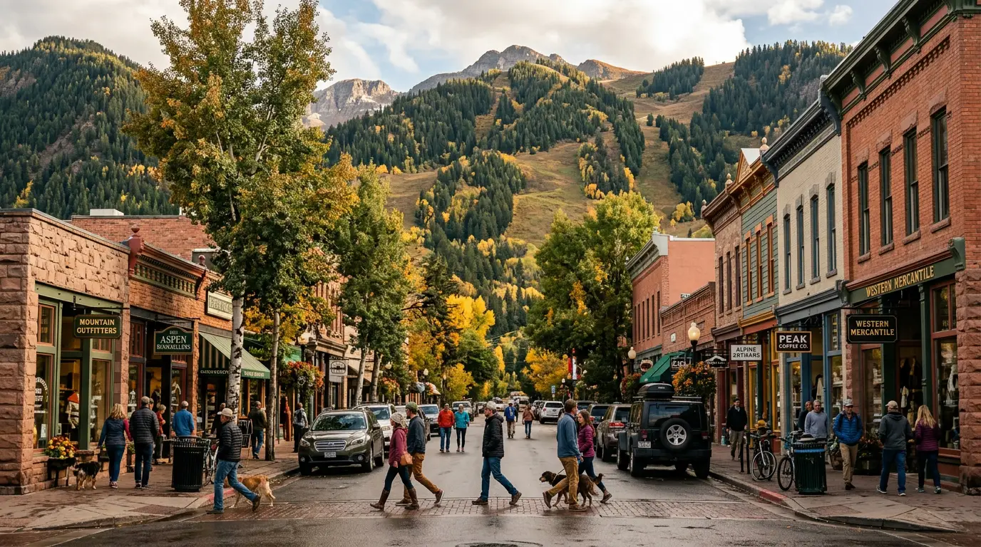
The most photographed mountains in North America sit behind a reservation gate, and the road that stitches this range together — Independence Pass at 12,000-plus feet — closes with the first big snow. This is a range of two sides joined by seasonal roads: the polished Aspen valley, and the wildflower-and-aspen country around Crested Butte and Marble, where the signature drive is a 4x4 road people have died on. Win the Maroon Bells reservation, time the passes, respect the altitude, and it is one of the great weeks in the Rockies.
The rest of this journal is evergreen; this box is not. In the Elk Mountains two things decide whether your plan works before you lace a boot — the Maroon Bells vehicle/shuttle reservation (§02) and whether the seasonal high roads are open (§03). Both are set season by season and change week to week. Everything below is dated to the day we checked it. Trust the live sources, not our date stamp.
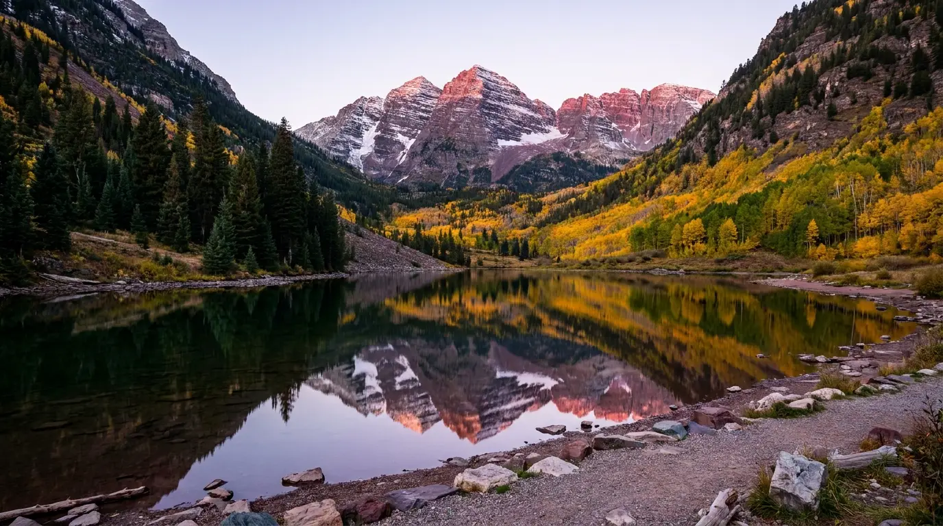
The Elk Mountains are a compact, ferociously scenic range built of dark red Maroon Formation rock — which is why the Bells photograph the way they do, and why they kill climbers who treat them like granite. Aspen sits on the northeast flank; Crested Butte and Marble on the southwest. The two sides are barely 11 miles apart as the raven flies and a half-day of driving apart on the ground, joined only by seasonal roads: Independence Pass, Kebler Pass, and the brutal Schofield/Crystal 4x4 tracks. Learn which roads are open, win the Maroon Bells reservation, and pace yourself against the altitude, and you get alpine lakes, ghost towns, the best wildflowers in Colorado, and one of the most photographed places on Earth.
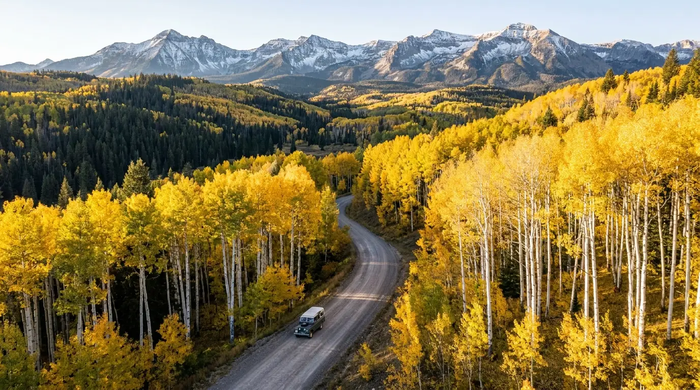
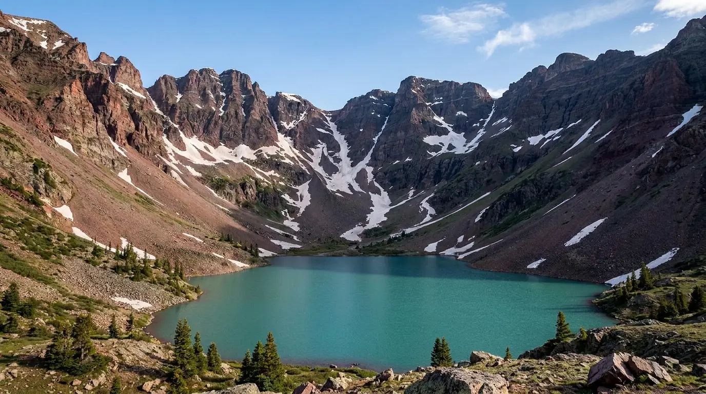
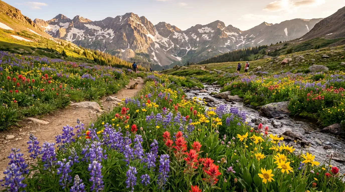
Alpine lakes within a half-day walk — Crater, Cathedral, American, Snowmass — plus Colorado's best-known wildflower valleys around Crested Butte and the aspen gold of Kebler Pass in late September (§04, §09).
Aspen sits near 7,900 ft, Crested Butte near 8,900, campgrounds run to about 10,000, and Independence Pass tops 12,000. You sleep at altitude here — fitness does not protect you (§06).
Afternoon thunderstorms build over the high country most summer days, and every good summit and pass sits above treeline with no shelter. Start at first light or change the plan (§06).
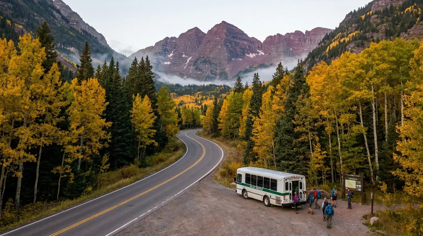
If you take one thing from this issue, take this. You cannot simply drive up Maroon Creek Road to the Bells in season. From roughly mid-May into late October the corridor runs on a paid vehicle-reservation and shuttle system managed by the White River National Forest with the RFTA transit agency — designed to keep the tiny Maroon Lake lot from being overrun. Here is how it worked for 2026; confirm the exact 2026 windows, hours and prices before you book, because they are set each season.
| How you get there | 2026 window | Reported cost | The catch |
|---|---|---|---|
| RFTA shuttle the default |
22 May – 18 Oct 2026, from the Maroon Bells Welcome Center at Aspen Highlands | ~$16 adult, ~$10 senior / kids 12 & under | Last shuttle down from the Bells departs 5:00 p.m. Park at Aspen Highlands (paid, no reservation, ~$30 for 2 hrs up to ~$150 for multi-day) |
| Drive your own vehicle up parking reservation required |
15 May – 31 Oct 2026 — reservation required whenever you drive the road | ~$10 per parking reservation (evening / whole-day / overnight windows) | When the shuttle is running you must arrive before 8 a.m. and leave before 4:30 p.m. The lot is small and books out |
| Get dropped off the loophole with a string attached |
Drop-off allowed 6 – 8 a.m. without a parking reservation | ~$10 one-way shuttle return reservation | You must hold a one-way downhill shuttle reservation to get back — there is no walk-up guarantee |
Booking opened for the 2026 season on 11 April 2026. Reservations are made through the Aspen Chamber / visitmaroonbells.com portal. Every figure above is the reported 2026 arrangement — confirm windows, hours and prices at the source before you plan a morning around them.
A reservation at one of the three small Maroon Creek Road campgrounds — Silver Bar, Silver Bell, Silver Queen (§07) — comes with a $10 car pass that gives you unrestricted access to your site and the Bells. That is the camper's edge: you can be at Maroon Lake for sunrise without fighting the day-use parking window. Campsites were $15/night for 2026, released six months out on Recreation.gov.
It is a vehicle-access and shuttle system, not a wilderness permit. Day hiking to Crater Lake or up the West Maroon / Maroon-Snowmass trails needs no wilderness permit — but camping overnight in the Maroon Bells-Snowmass Wilderness busy zones (Crater Lake, Conundrum, Capitol, the Four Pass Loop) needs a separate Recreation.gov overnight permit (§04). Two different systems; budget for both if you're staying out.
Dogs are allowed on these Forest Service trails but must be under control/leashed near the lake — different from a national park, and a relief to travellers coming from RMNP.
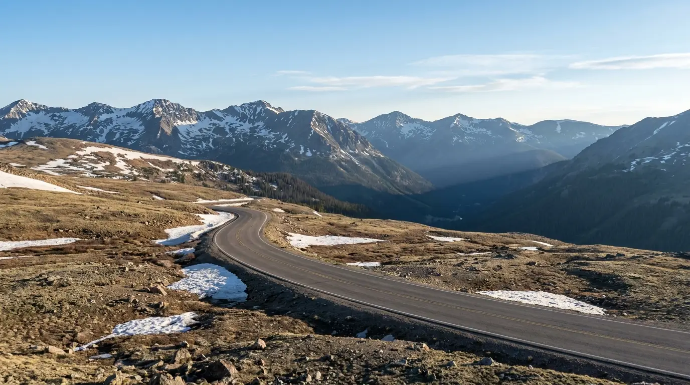
This range is defined by its roads more than most. One is a paved 12,000-foot crossing that bans anything long and closes all winter. One is a smooth gravel byway through the largest aspen grove you'll ever drive. And the rest are 4x4-only tracks that connect the two sides only if you have the right vehicle and nerve. Know which is which before you plan a day — or a shortcut — around any of them.
A smooth, well-graded gravel road (part of the West Elk Loop scenic byway) running west from Crested Butte through one of the largest aspen groves on Earth to the Crystal River side. Suitable for most passenger cars in dry conditions, and the single best fall-color drive in the region (§09).
Seasonal: unmaintained and effectively closed in winter and mud season; opens once it dries out, roughly late spring. It is the practical link between the Crested Butte and Marble sides for a normal vehicle — the passes over the top (Schofield) are 4x4-only.

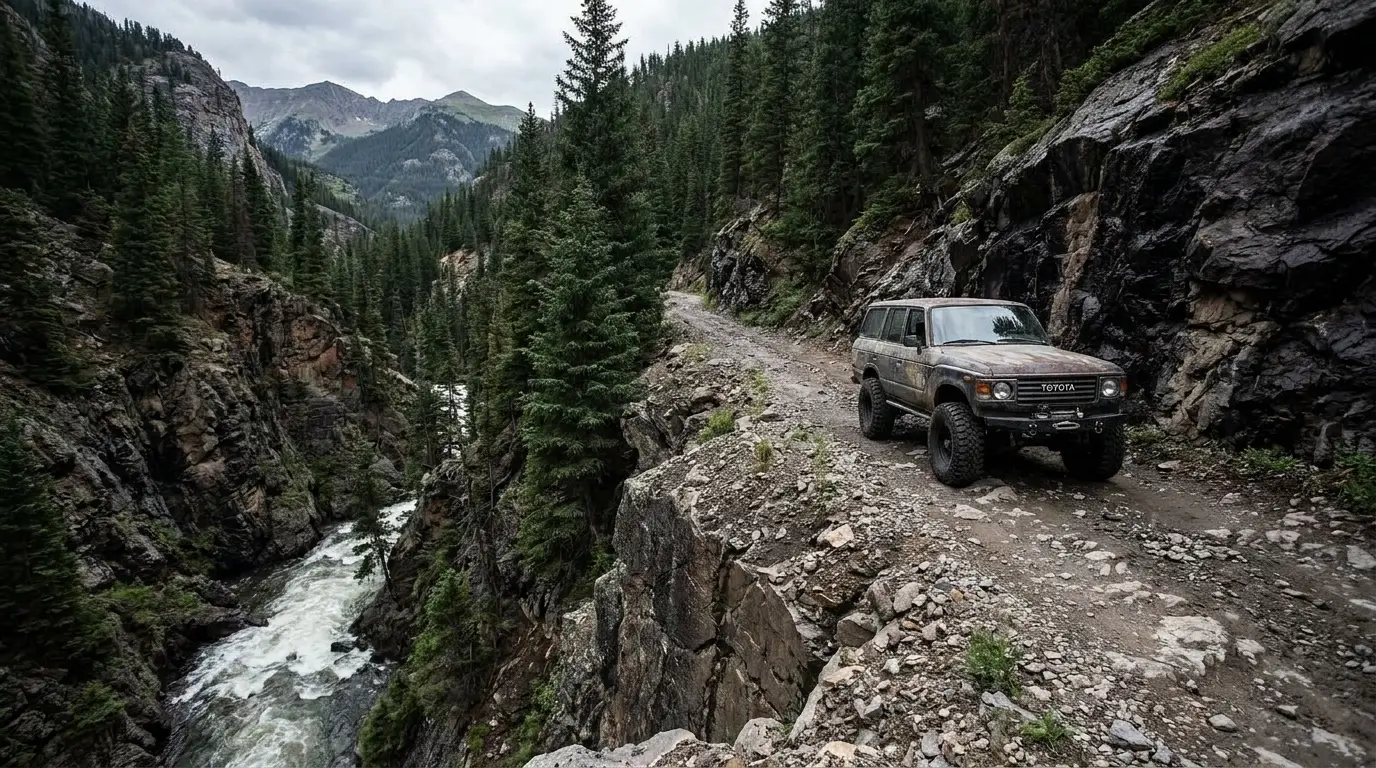
The direct high routes between the Crested Butte side and the Crystal River / Marble side go over Schofield Pass and through Devil's Punchbowl — a section that is among the most notorious and dangerous 4x4 roads in Colorado, narrow and exposed with a fatal history (§05). This is not a shortcut for a stock SUV.
For a normal vehicle, the Crested Butte ↔ Marble connection is the long way round: Kebler Pass gravel to CO-133, or pavement via Gunnison and Carbondale. Budget hours, not minutes.
There is no fuel on the passes. Fill up in Aspen, Crested Butte, Gunnison or Carbondale before you commit to a high road.
The paved road from the Maroon Creek roundabout (just west of Aspen) up to Maroon Lake is the corridor governed by the reservation-and-shuttle system (§02). It is not a difficult drive; the difficulty is being allowed to drive it, and when. The three small campgrounds and the Maroon Lake day-use area sit along it.
Castle Creek Road, from the same roundabout, is the quieter alternative valley — paved to Ashcroft, then gravel to the Cathedral Lake trailhead — and it carries no reservation system, which makes it a strong plan-B on a day you can't get the Bells.
The Elk Mountains do alpine lakes as well as anywhere in Colorado. The distances and gains below come from trail-guide and land-manager sources and are the best consensus figures we could find — but the Forest Service does not publish an official table the way a national park does, so treat every number as a planning estimate to confirm, and budget generously for altitude: a rough rule is 1.5× to 2× your sea-level time above 9,000 ft. Times quoted are fit-hiker estimates, not official figures. All mileages are round-trip unless noted.
All from the Maroon Lake area (~9,580 ft) — reached via the reservation/shuttle system (§02). Distances are widely-cited estimates; confirm at the trailhead board.
Roughly 1 mi loop · minimal gain. A paved-and-gravel walk around Maroon Lake with the Bells reflected in it — the shot everyone comes for, and an easy one. Portions are wheelchair-accessible near the lake. Best at sunrise before the light flattens and the shuttle crowds arrive.
Still ~9,580 ft — people read "easy loop" as "effortless" and get winded. And the peaks above are the Deadly Bells (§06) — the loop is safe; leaving it to scramble the talus is not.
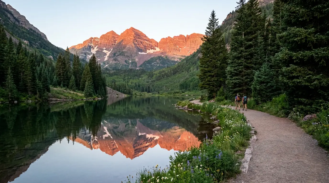
~3.5–3.8 mi round trip · ~600–700 ft of gain via the West Maroon / Maroon-Snowmass trail. Moderate, rocky in places, ending in a talus-rimmed basin directly beneath the peaks. Mid-summer through early fall is the realistic window; snow lingers on the approach into early summer.
Popular and rocky — trekking poles help. Overnight camping needs a wilderness permit; the day hike does not. Beyond Crater Lake the trail becomes the serious West Maroon Pass / Four Pass Loop terrain.
Reached up Castle Creek Road past Ashcroft (§03). These are the plan-B lakes when the Bells are booked out — just as good, far less machinery around them.
~5.5 mi round trip · ~2,000 ft of gain. Hard, with a steep switchbacking headwall, topping out near 11,880 ft in a rock cirque under Cathedral Peak. Distance and elevations here are trail-guide figures — confirm at the trailhead. Mid-July through September for mostly snow-free travel.
The upper switchbacks are relentless and fully exposed to weather. Start early — this is an above-treeline objective and the noon-storm rule (§06) applies. The trailhead spur off Castle Creek Road is rough; a low car may want to park at the bottom.
~3.0–3.5 mi one-way · roughly 2,000 ft of gain to a pretty subalpine lake, climbing steadily through forest before opening to alpine terrain near ~11,300 ft. Moderate-to-hard for the sustained grade. Figures are trail-guide estimates. Summer through early fall.
Less dramatic than Cathedral but quieter and a good acclimatisation climb. The grade is unrelenting; pace it. Above-treeline sections carry the storm rule.
Short interconnecting loops, well under 1.5 mi, minimal gain, at the Grottos Day Use Area about 9–10 miles up Highway 82 from Aspen toward Independence Pass. Granite slabs, cascades and ice caves carved by the Roaring Fork — a relaxed hour, great for kids. Accessible only when the pass road is open (§03).
The rock beside the water is slick and the current is cold and fast at snowmelt; the "ice caves" are slippery. Fun, but not a place to let small children roam unwatched.
The Lost Man Trail connects a lower and upper trailhead on Highway 82 (a point-to-point of roughly 8–9 mi if you shuttle two cars), climbing past alpine lakes. Nearby, the Independence ghost town is a roadside stop — the remains of an 1880s gold camp right on the pass road. Both are pass-season only.
Walking the narrow, guardrail-free pass road between trailheads is genuinely dangerous — shuttle a car or do it as an out-and-back. Fully above treeline up high; watch the sky.
~2 mi round trip · modest gain from the Gothic Road above Crested Butte, to a two-tiered cascade framed by Gothic Mountain. Easy-to-moderate, and one of the most concentrated wildflower corridors in the valley in late July (§09). Reached via the smooth Gothic Road past the Rocky Mountain Biological Laboratory.
Popular in wildflower season; go early for parking. Standard alpine cautions — afternoon storms, quick weather changes.
An intermediate out-and-back up the Oh-Be-Joyful drainage on the Slate River to a clear alpine lake, past waterfalls and heavy wildflower meadows. We could not confirm a single authoritative distance/gain — confirm locally. Summer through early fall.
The access road and the Oh-Be-Joyful crossing are rough — the campground down low has a 25-ft rig limit and a river ford is involved for full access. Verify current conditions with the Crested Butte ranger district before committing a low vehicle.
A long haul up Conundrum Creek from Castle Creek Road to natural hot pools at ~11,200 ft — commonly cited around 8.5–9.5 mi one-way. A bucket-list soak, and a genuinely big day or overnight. Overnight camping requires an advance Recreation.gov permit tied to a numbered site; day trips do not, but the round trip is long and high.
Distance and elevation are consensus figures — confirm on the permit page. Clothing-optional culture and heavy use; pack it all out.
Snowmass Lake sits at ~10,980 ft, roughly 8+ mi one-way via the Maroon-Snowmass trail. It is one leg of the celebrated Four Pass Loop — a ~26–28 mile circuit over four 12,000-ft passes, one of Colorado's premier backpacking trips. Overnight permits are required for the loop zones (Snowmass Lake, Geneva Lake, Crater Lake).
Loop mileage varies by source (~26–28 mi). This is serious high-altitude backcountry — permits, bear canisters and weather discipline required.
| Destination | Access | Round trip* | Gain* | Reservation / permit |
|---|---|---|---|---|
| Maroon Lake Scenic Loop | Maroon Lake | ~1 mi loop | minimal | Bells vehicle/shuttle |
| Crater Lake | Maroon Lake | ~3.6 mi | ~650 ft | Bells access; permit if overnight |
| Cathedral Lake | Castle Creek Rd | ~5.5 mi | ~2,000 ft | None |
| American Lake | Castle Creek Rd | ~6–7 mi | ~2,000 ft | None |
| The Grottos | Hwy 82 (pass rd) | <1.5 mi | minimal | None (pass must be open) |
| Judd Falls | Gothic Rd, Crested Butte | ~2 mi | modest | None |
| Conundrum Hot Springs | Castle Creek Rd | ~17–19 mi | ~2,500+ ft | Permit if overnight |
| Snowmass Lake | Maroon-Snowmass / Snowmass Ck | ~16+ mi | big | Permit if overnight |
*All distances and gains are consensus estimates from trail guides and land-manager pages, not an official Forest Service table. Confirm at the trailhead. Times in the entries above are fit-hiker estimates at altitude, not official figures.
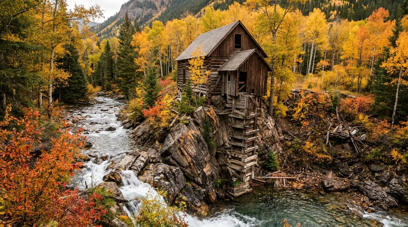
The Crystal Mill — a weathered 1890s powerhouse perched over a waterfall on the Crystal River — is one of the most photographed structures in the state. It is also reached by a road that is repeatedly ranked among the most dangerous 4x4 routes in Colorado, where people have died. We are not going to romance the drive, and we are not going to tell you a stock SUV can do it. Here is the honest version.
From Marble, the route follows the Crystal River up a tight canyon toward Crystal and, on the full loop, up through Lead King Basin. It is narrow, rugged and exposed, in many places only one vehicle wide with no turnaround. It requires true high-clearance 4x4 — sources note stock SUVs turning around and describe it as one of the state's most dangerous 4x4 roads, with fatalities on record.
The connected Devil's Punchbowl section toward Schofield Pass is harder still — a shelf road above a deep pool below a waterfall, and the scene of well-known accidents.
Reported open seasonally (around late May) but avalanche debris and rockslides can keep it shut into summer — confirm current status before you drive.
Four things account for most of what goes wrong in the Elk Mountains, and only one of them is obvious. The first is altitude, which visitors from lower ground consistently underestimate. The second is the afternoon thunderstorm, the most important operational rule of a summer day up high. The third is specific to this range: the rock itself is rotten, and the Bells have killed many climbers. The fourth is wildlife-distance discipline. None of it is exotic — it just has to be planned for.
Aspen sits near 7,900 ft, Crested Butte near 8,900, campgrounds run to about 10,000, Independence Pass tops 12,095, and the peaks exceed 14,000. You are sleeping at altitude here, not just visiting it.
Acute mountain sickness can begin as low as 8,000 ft and affects a meaningful share of people arriving from sea level — regardless of fitness. Symptoms: headache, shortness of breath, fatigue, loss of appetite, nausea, poor sleep. Being an athlete does not protect you.
If symptoms worsen, descend — descent is the treatment.
This altitude guidance is standard wilderness-medicine advice, not a substitute for a doctor. If you have cardiac or respiratory conditions, talk to one before a high trip.
If you're caught above treeline in lightning: avoid summits and isolated features, and crouch on your heels — do not lie flat. Carry raingear, a warm layer, map, headlamp and a first-aid kit even on a short hike. Hypothermia is a year-round risk at this altitude, not just a winter one.
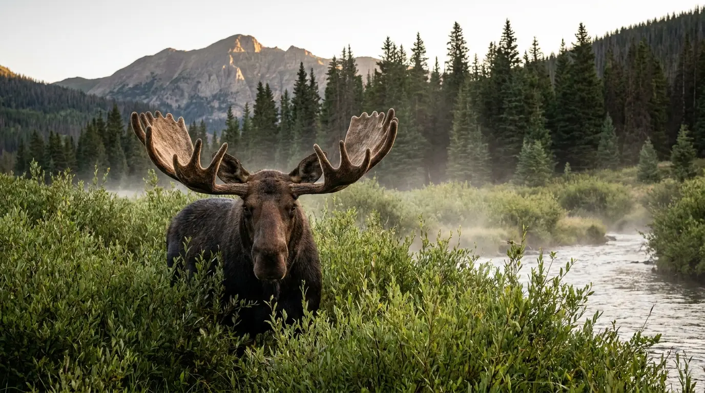
Moose are common in the willow bottoms of these valleys — the Crystal and Slate drainages, the Conundrum and Snowmass creeks. They look placid and are not; a moose with ears back is about to charge. Give them a very wide berth, keep dogs leashed and back away — a moose is more likely to injure you here than any predator. Confirm current guidance with the local ranger district.
This is black-bear country (no grizzlies). Aspen has a well-known urban-bear problem — use bear-proof storage, never leave food in a soft cooler or an open vehicle, and follow local trash rules. In the backcountry, hard-sided bear canisters are required for wilderness overnights in the Maroon Bells-Snowmass Wilderness. If a black bear approaches, stand tall and make noise; never run from one and never approach a cub.
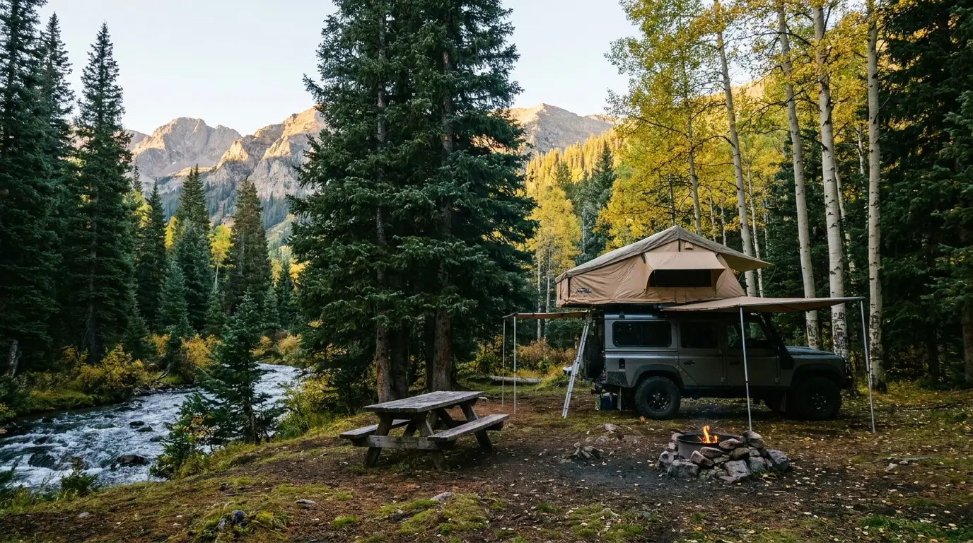
There is no single big national-park campground here — instead, a scatter of small Forest Service and BLM grounds along four corridors: Maroon Creek (the reservation road), Independence Pass (Highway 82), the Crested Butte drainages, and the Crystal River toward Marble. Most are first-come or reservation-lean, most are small, and dispersed-camping rules near the towns have tightened. Book the Maroon Creek trio early — those come with the coveted Bells car pass (§02).
| Campground | Corridor · manager | Sites | 2026 season* | Booking | Reported fee* |
|---|---|---|---|---|---|
| Silver Bell | Maroon Creek Rd · WRNF | 14 (tent + walk-in + some RV) | from ~22 May | Mix: reservation + first-come | $15 + $10 car pass |
| Silver Queen | Maroon Creek Rd · WRNF | ~5 (tents/trailers/RV to 30 ft) | summer | Reservation | $15 + $10 car pass |
| Silver Bar | Maroon Creek Rd · WRNF | 4 walk-in tent | summer | Reservation | $15 + $10 car pass |
| Difficult | Hwy 82 / Roaring Fork · WRNF | largest on this side | ~late May – late Sep | Reservation | range reported ~$33+ (confirm) |
| Weller | Hwy 82 (pass rd) · WRNF | small | summer (pass-season) | First-come / reservation | unconfirmed |
| Lincoln Gulch | Hwy 82 (pass rd) · WRNF | ~6 | ~mid-May – late Sep | First-come | unconfirmed |
| Lost Man | Hwy 82 (pass rd) · WRNF | ~10 | ~mid-May – late Sep | First-come / reservation | ~$25 (reported) |
| Lake Irwin | Kebler Pass · GMUG | 32 (reported) | ~late May – late Sep | Reservation + some first-come | ~$14–24 range (confirm) |
| Gothic | Gothic Rd, Crested Butte · GMUG | small | summer | First-come | ~$18 (+$9 extra vehicle) |
| Oh-Be-Joyful | Slate River · BLM | rec area, small | summer | Not via Recreation.gov | confirm; 25-ft rig limit, rough road |
| Bogan Flats | Crystal River / Marble · WRNF | plus group site | ~mid-May – early Oct | Reservation | range reported ~$31+ (confirm) |
| Redstone | Crystal River / CO-133 · WRNF | 16 sites w/ electric + water | ~mid-May – early Oct | Reservation | range reported ~$37–88 (confirm) |
*Seasons, site counts and fees are compiled from Recreation.gov, Forest Service/BLM and travel-guide listings and vary by source and by season. Several fees are shown as ranges or "confirm" because the listings disagreed or bundled single/group/double sites together. Book by site on Recreation.gov and read the actual site type and price. WRNF = White River NF; GMUG = Grand Mesa–Uncompahgre–Gunnison NF.
Near Crested Butte, dispersed camping is no longer allowed in the seven drainages closest to town — Slate River, Washington Gulch, Brush Creek, Cement Creek, Gothic, Kebler Pass and Lake Irwin — except at designated numbered sites. This is heavily enforced; do not roll in expecting to find a pull-off.
Elsewhere on White River and GMUG forest land dispersed camping is legal but rule-bound (stay-limits, distance from water, existing sites). And fire restrictions can shut off campfires and dispersed camping entirely in a dry summer — check each forest's current order the week you go.
This region runs from a world-famous resort town to a village of a few hundred people, and the services drop off a cliff between them. Aspen and Snowmass are full-service and expensive; Basalt and Carbondale down-valley are where locals actually shop; Crested Butte is smaller but complete; Marble and Redstone are tiny and seasonal. Plan your resupply around that gradient — and remember there is no fuel on any of the passes.
Store names and addresses beyond Ute Mountaineer (verified) are directional — confirm hours before relying on them. Aspen is expensive; budget accordingly or shop down-valley.
Grand Junction (GJT) and Aspen/Pitkin County (ASE) are the other airports. Confirm current Crested Butte and Marble services before you rely on them — much of Marble is seasonal.
We confirmed no operator pricing — any number you see elsewhere should come from the operator. Phone numbers and hours change; check the current website before you drive over.
The Elk Mountains have two signature seasons and one hard constraint. The constraint is the passes: Independence and the high 4x4 roads are only open roughly late June through early October, and that window defines when you can do the full loop of this range. Inside it, the two great weeks are mid-July for the wildflowers and late September for the aspen. If you want one answer, split the difference by what you're chasing.
One workable shape, not the only one. It spends the first day low so your body can work, front-loads the Bells to a sunrise slot, and saves the big alpine day for when you're acclimatised. Adjust freely — but keep day one easy, keep every alpine start early, and confirm the passes are open before you count on crossing them.
Run it before you leave. Tap each item as it's done — these are the ten things specific to the Elk Mountains that a general road-trip habit will skip. Most come back to two facts: the reservation and the passes decide your day before the trail does, and the weather up here runs on a clock that starts at first light and closes at noon.
Every guide has these; most don't print them. This region mixes national-forest, BLM and private land with no single authoritative table of distances and fees the way a national park has — so more numbers here are estimates than we'd like, and we've flagged them in place. Everything below was compiled mid-July 2026 and should be re-checked against the linked official source before you rely on it.
Everything above, condensed into a print-ready PDF built for the glovebox — for a range where the reservation and the passes decide your day before the trail does, the signal dies at the trailhead, and the signature drive is a road people have died on. The Maroon Bells reservation decoded, Independence Pass timing and the 35-ft limit, the campgrounds by corridor with 2026 fees, the alpine-lake roster at honest numbers, the Conundrum and Four Pass permits, the Crystal Mill told straight, the wildflower and aspen windows, and the honest list of what nobody could confirm — on paper that works where the bars don't.
Every Trekkr Trail Journal is built like this one: custom logistics, honest trail beta, the camping and access detail, and the local knowledge that turns a good trip into the one your crew talks about for years — including, always, a plain list of what we could not confirm. New destinations drop all season long, from the BC corridors to the Oregon Cascades to the Colorado Rockies.
Unlock the Trail Journal Library