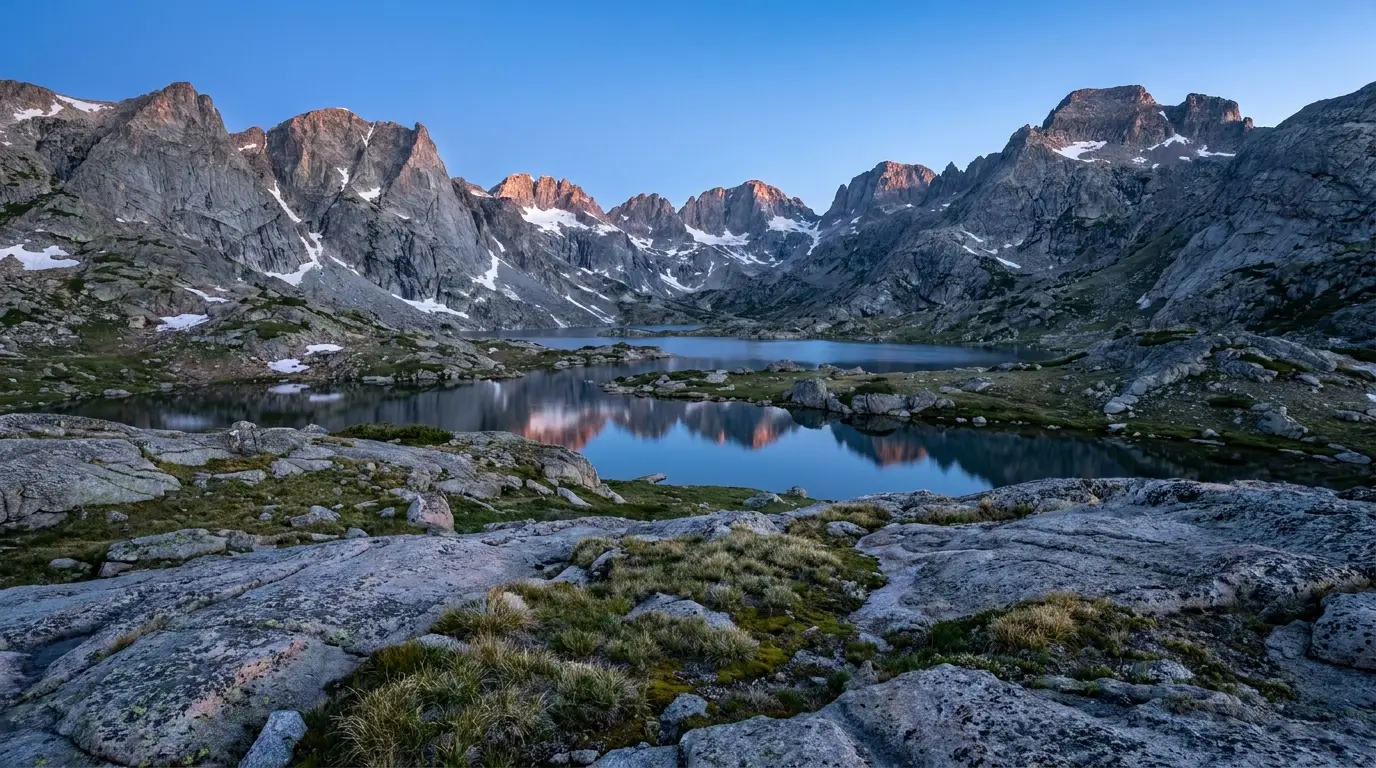
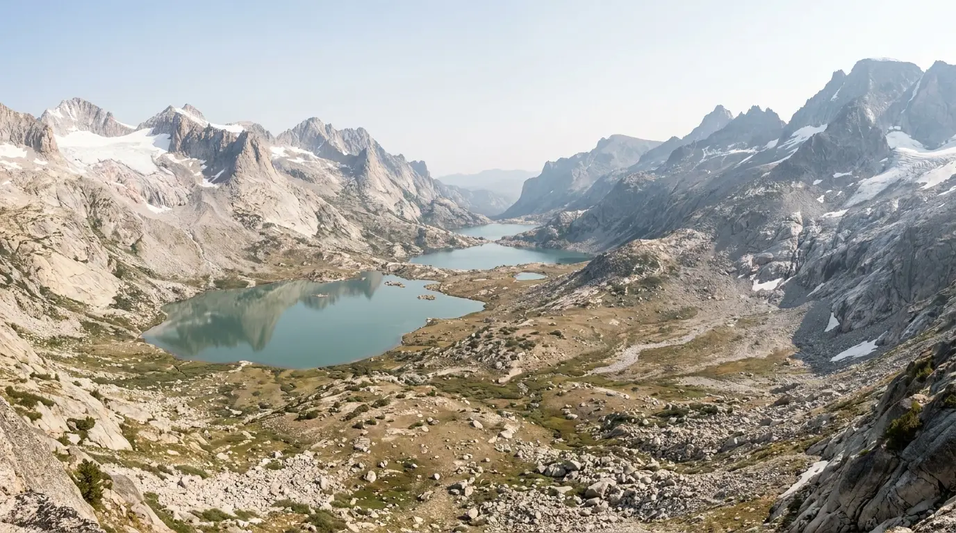
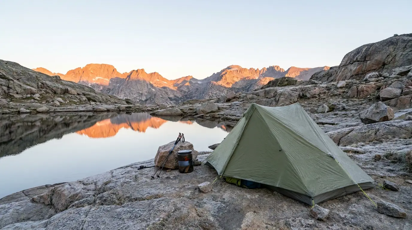
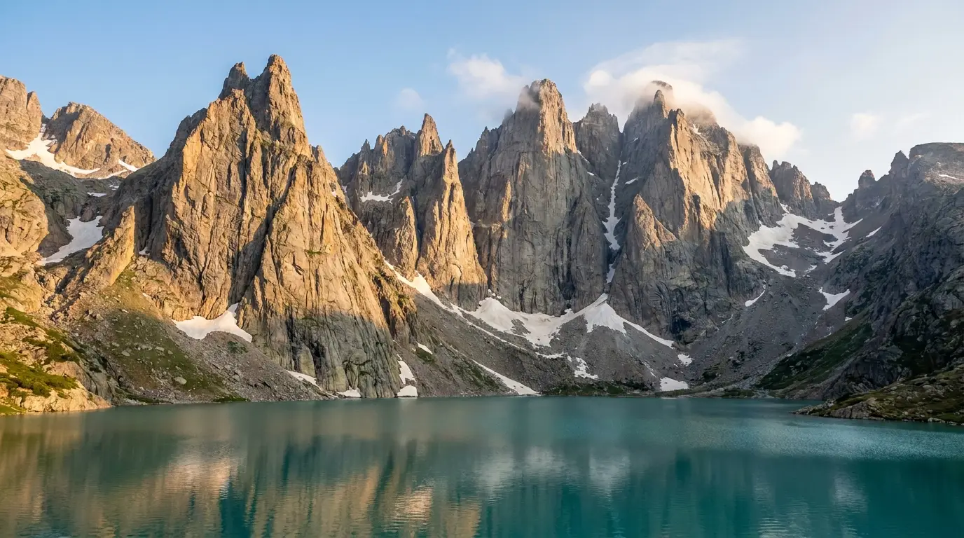
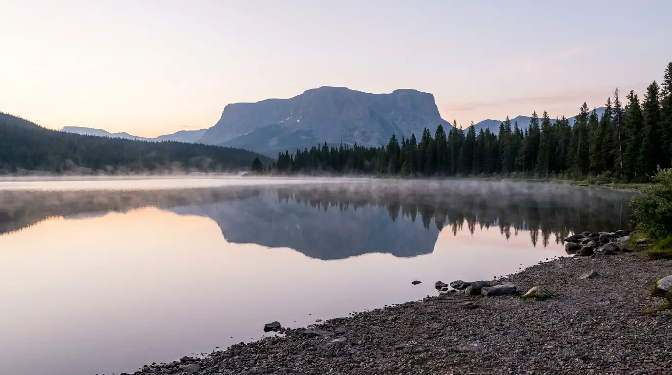
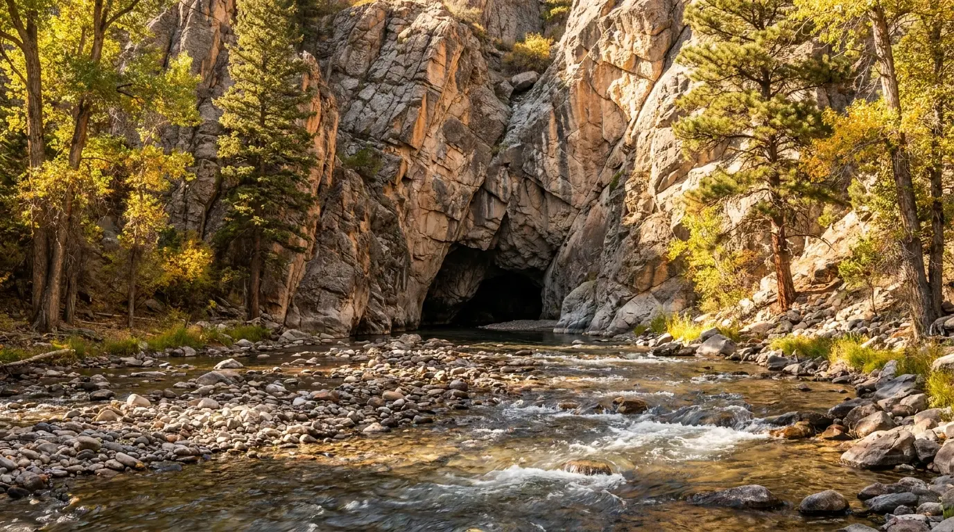
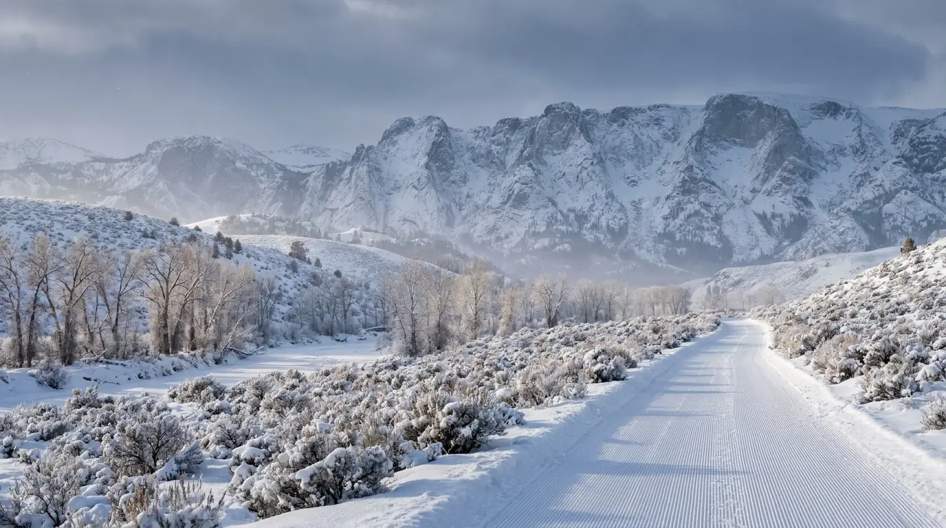
Grand Teton hands you a granite wall from the road. The Winds hand you nothing. This is the biggest wilderness range in Wyoming — a hundred miles of crest with no road across it, the state's highest peaks, and more alpine lakes than anyone has counted — and to see any of the good part you drive hours of rough gravel, then walk. There's no park gate, no shuttle, and almost no cell signal. What there is: Titcomb Basin, the Cirque of the Towers, Green River Lakes under Squaretop, and grizzly country you store your food for. This guide is about earning it, and doing it without getting stranded.
Most of this journal is evergreen; this box is not. In the Winds the thing that ends a trip is rarely a full campground — it's a gravel road washed out or torn up, a fire closure, a pass still buried in July snow, or a rig that couldn't take 27 miles of washboard. 2026 has a specific, high-impact problem on the north end. Everything below is dated to the day we checked it. Trust the ranger districts, not our date stamp.
The Wind River Range is a single hundred-mile spine of granite running northwest to southeast along the Continental Divide — but there is no road across the crest, and that one fact splits it into two trips that barely touch. The west side out of Pinedale is the high, famous, lake-drowned alpine. The east side out of Lander is lower, warmer, drier, and hands you the best road-accessible sights and world-class climbing. You do not "do the Winds." You pick a side, and the crest keeps the other one a full day's drive away.
The higher, more alpine half. Elkhart Park to Titcomb Basin, Green River Lakes and Squaretop, the Big Sandy approach to the Cirque of the Towers, Fremont and Half Moon lakes, and the biggest concentration of alpine lakes in the range. Base in Pinedale. (§03, §06)
Lower, warmer, drier, and the most accessible. Sinks Canyon's vanishing river, Popo Agie Falls, the Loop Road lakes, and some of the best rock climbing in the Rockies. Base in Lander — a genuine climbing and NOLS town. (§06, §07)
The remotest quarter, up near Togwotee Pass. The Glacier Trail from Trail Lake is the standard approach to Gannett Peak, and Brooks Lake sits under the Pinnacles. This is deep grizzly country. Base in Dubois. (§04, §06)
⚠️ Treat every gravel figure as weather-dependent. A road that's fine dry can be impassable clay after a thunderstorm, and washboard doubles the time a distance suggests. Air down, carry a full-size spare, and don't commit a low-clearance car to Big Sandy or the rougher Loop Road spurs.
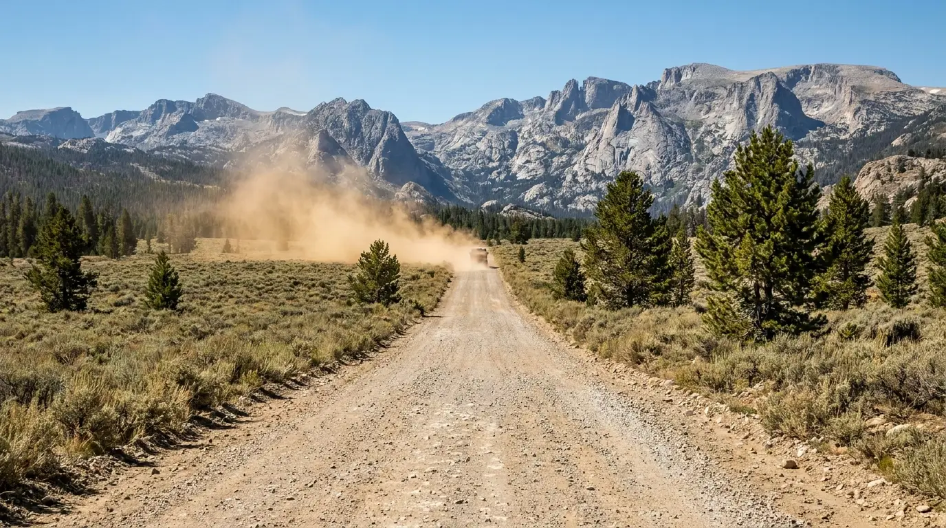
The single most underestimated thing about a Wind River trip is the approach. This is not a national park with a paved loop and a shuttle. Some trailheads are paved and easy; several of the best ones lie at the end of long, rough, low-maintenance gravel that punishes tires, patience and low-clearance cars. Plan the road as carefully as you plan the trail.
| Trailhead / access | Side | Road | Notes |
|---|---|---|---|
| Elkhart Park (Pole Creek) Titcomb Basin, Photographers Point |
West · Pinedale | Paved — Fremont Lake Rd, ~15 mi | The easy one. Large lot, toilets, info board at ~9,340 ft. Fills in peak season — arrive early |
| Big Sandy Cirque of the Towers, Big Sandy Lake |
West/South | ~27 mi of rough gravel | Partly paved, then low-maintenance dirt/gravel. Slick clay when wet. High clearance advised; carry a spare |
| Green River Lakes Squaretop, Highline Trail |
North-west · Cora | Gravel — UNDER RECONSTRUCTION 2026 | Reported major road work with delays in 2026, plus no campground water after the Dollar Lake Fire. Call Pinedale RD first |
| Sinks Canyon Rd (WY-131) Sinks Canyon, Popo Agie Falls |
East · Lander | Paved to the canyon | Easy and close. Above the canyon it becomes the gravel Loop Road (FR 300) to the high lakes |
| The Loop Road (FR 300) Worthen Meadow, Fiddlers & Louis lakes |
East · Lander | Gravel — some rough spurs | Higher, slower, snow-gated. The Louis Lake spur is the roughest. Closes with snow |
| Trail Lake Rd Glacier Trail → Gannett Peak |
North · Dubois | Gravel, generally passable | The Fitzpatrick Wilderness approach and the standard Gannett route. Whiskey Basin bighorn winter range nearby |
| Brooks Lake Rd (FR 515) Brooks Lake, the Pinnacles |
North · Togwotee | Gravel off US 26/287 | High, scenic, short season. Grizzly country — full food storage from the trailhead |
Road classifications and distances here are consensus from mapping and community sources, not an official road inventory. Confirm current status with the relevant ranger district before you rely on any of it — gravel roads in this range wash out, get graded, and close for fire without much notice.
The Winds don't have a construction season the way a national park does — they have a permanent one, called gravel. The reward for the drive is a range with a fraction of the crowds and none of the reservation systems next door. Respect the road, carry water and a spare, and it delivers wilderness the parks can't.
Camping here is refreshingly un-corporate compared with the parks: national-forest and BLM campgrounds spread across the Bridger-Teton, the Shoshone and BLM land, plus Wyoming State Parks at Sinks Canyon. Much of it is first-come or a first-come/reserve mix, and dispersed camping on forest land is broadly allowed. The catch is that fees, seasons and reservation systems are inconsistently published — so this table flags what we could and couldn't confirm, rather than pretending to certainty.
| Campground | Manager / side | Reservation | Fee (reported) | Water | Notes |
|---|---|---|---|---|---|
| Fremont Lake ~7 mi NE of Pinedale |
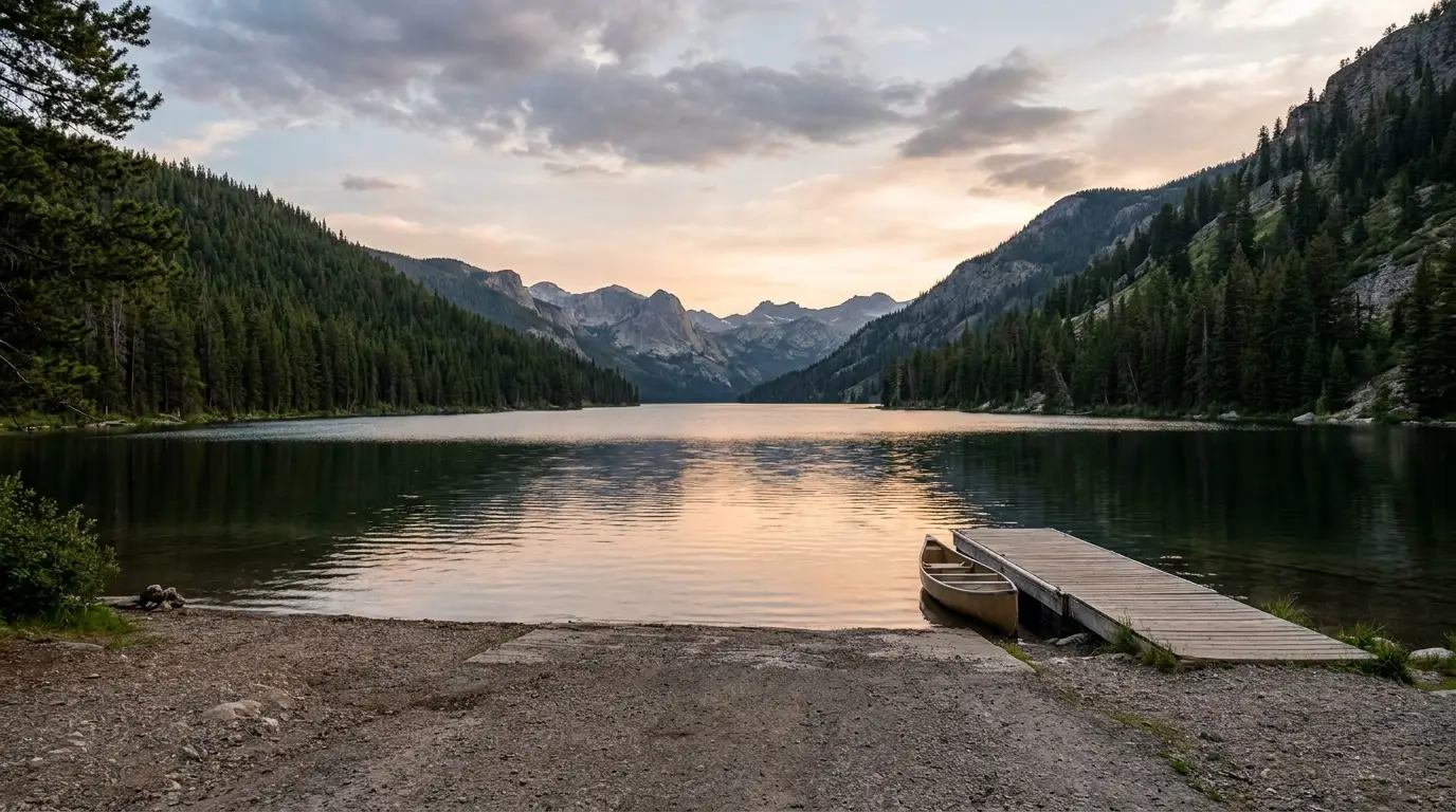
Bridger-Teton NF · West | Mix — some reservable | $15 single / $30 double / $50 group | Yes (seasonal) | 54 shaded sites at ~7,400 ft on the lake; boat ramp and marina nearby. Confirm fee/season/reservation |
| Half Moon Lake near Fremont Lake |
Bridger-Teton NF · West | First-come (reported) | $12 single | NONE — bring your own | Smaller, quieter, in aspen and willow. No drinking water; confirm details |
| Green River Lakes north Winds, under Squaretop |
Bridger-Teton NF · NW | Mix | Not confirmed | NONE in 2026 (fire damage) | 2026: road reconstruction, no water, possible closure. Call Pinedale RD 307-367-4326 |
| Warren Bridge upper Green River, near Daniel |
BLM · West | First-come | Not confirmed | Not confirmed | River-access campground on the Green — a float/fishing base west of the range, not a trailhead |
| Big Sandy Cirque of the Towers access |
Bridger-Teton NF · South | First-come | Not confirmed | Not confirmed | Primitive, at the end of ~27 mi of rough gravel. The jump-off for the Cirque. Small — arrive early |
| Sinks Canyon State Park Popo Agie, Sawmill |
WY State Parks · East | Reservation (reported) | Not confirmed | Yes (seasonal) | Primitive sites on the Popo Agie ~6 mi from Lander, at the Sinks. Confirm fee/booking |
| Worthen Meadow Loop Rd, ~8,800 ft |
Shoshone NF · East | Mix | Not confirmed | Not confirmed | On the reservoir; trailhead for the Roaring Fork / Stough Creek Lakes into the Popo Agie Wilderness |
| Fiddlers Lake Loop Rd, ~9,400 ft |
Shoshone NF · East | Mix | Not confirmed | Not confirmed | High and scenic; cool and buggy in midsummer. Christina Lake trail access |
| Louis Lake Loop Rd spur, ~8,600 ft |
Shoshone NF · East | First-come | Not confirmed | Not confirmed | The quietest of the Loop Rd lakes; rough spur road, small rigs and tents |
| Brooks Lake near Togwotee Pass |
Shoshone NF · North | First-come | Not confirmed | Not confirmed | Under the Pinnacle Buttes; short season; grizzly country. Brooks Lake Creek Falls nearby |
| Falls ~23 mi NW of Dubois |
Shoshone NF · North | Mix | $20 non-elec / $30 electric | Yes (seasonal) | 54 sites, RVs to ~32 ft, bear boxes at every site. Short Falls Overlook trail. Confirm season |
Reservable Forest Service sites book through Recreation.gov; Sinks Canyon State Park through Wyoming State Parks. Where a 2026 fee could not be pinned to an official page we print nothing rather than guess.
The Winds ask almost nothing on paper: no wilderness permit, no quota, no entry fee for the Bridger, Popo Agie or Fitzpatrick Wildernesses. That freedom is the whole appeal. But it comes with responsibilities the parks enforce for you and here you enforce for yourself — grizzly food storage above all, plus fire rules, the Lonesome Lake camping ban, and the reservation boundary.
At the wilderness boundary you'll find a free trailhead register — sign in on the way up and out. It's not a permit; it's how the forest tracks use and how searchers know you were there. Do it. On a range with no cell service, that logbook may be the first thread of a rescue.
Group-size and Leave-No-Trace rules apply and vary a little by wilderness — camp on durable surfaces, well back from lakes and trails, and pack out all waste. Confirm the current group-size limit for your specific wilderness.
Above treeline there's essentially no wood to burn and no soil to spare — the high basins are a stove-only environment as a matter of practice, and often of regulation. Lower down, fire restrictions are common in late summer and can jump to a full ban fast.
Carry a stove, plan not to need a fire, and check the current restriction before you strike a match. A stray ember in this range starts the closures that shut trailheads for the rest of the season.
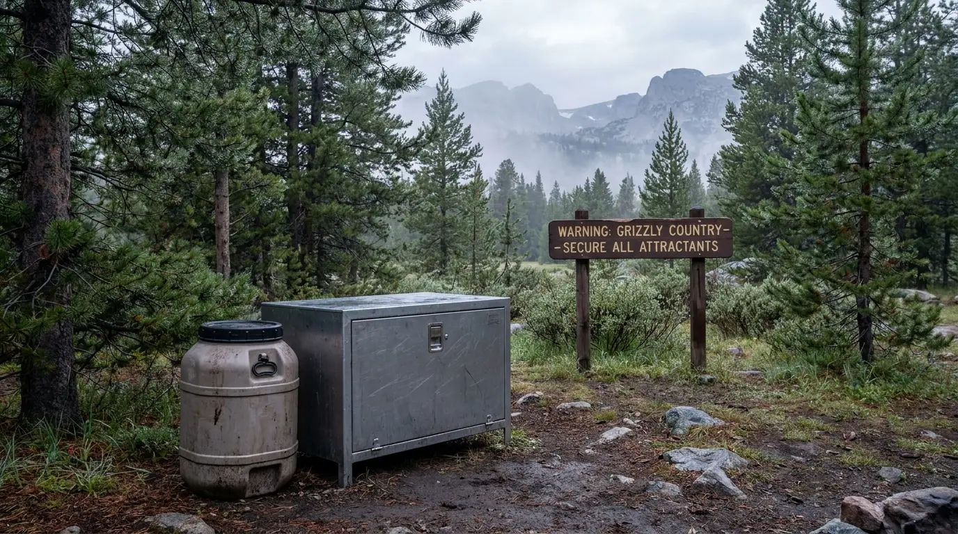
Bear spray: carry it on your body, accessible, not buried in the pack — spray in the pack is a souvenir. And know that bear spray cannot fly, in carry-on or checked bags, so buy or rent it after you land. Cook and store food well away from your tent, and never leave a pack unattended with food in it.
The exact boundaries of the food-storage order vary by district and change — confirm the current order for the area you're entering with the relevant ranger district (§00) before you go.
The distances and gains below are community and guidebook figures — AllTrails, SummitPost, hiking sites and the visitor bureaus — not GPS-verified official measurements, because the Forest Service doesn't publish clean numbers for most of these routes. Treat every figure, including ours, as consensus. Two things apply to every line here: this is grizzly country where food storage isn't optional (§04), and the universal gate is snow — the high basins hold it into July.
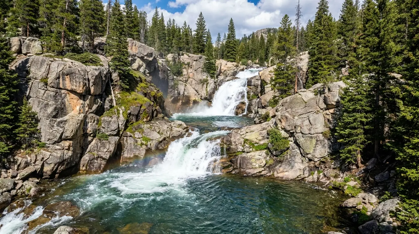
Community figures: roughly 12 mi to Island Lake and about 16 mi to the head of the basin, one way, on the Pole Creek and Seneca/Indian Basin trails from Elkhart Park (~9,340 ft). A granite amphitheatre of turquoise lakes under the highest peaks in Wyoming, and the classic west-side backpack — usually 3–5 days with side trips.
This is serious high country: much of it is above treeline, exposed to afternoon storms, with no cell service and mandatory food storage. Distances vary by source and there's no official number. No wilderness permit is needed, but sign the register. Snow lingers in the basin into July — confirm conditions before you go.
Reported ~4.5 mi one way (~9 mi round trip), moderate, from Elkhart Park — the point where the Pole Creek Trail breaks out to a sweeping view of the Bridger Wilderness peaks. A strong long day hike, or the first leg of the Titcomb trip.
Starts high at ~9,340 ft, so altitude, sun and afternoon storms apply even on a day hike. Distance is a community figure. Great turnaround objective if the basin's still snowed in.

The north-Winds icon: flat-topped Squaretop Mountain (~11,695 ft) mirrored in Lower Green River Lake. An easy, near-flat lakeside day hike — reported at ~10.6 mi round trip with ~90 ft of gain — delivers the classic reflection, and the Highline Trail continues deep into the Bridger Wilderness for backpackers.
2026 caveat, in bold: the access road is reported under major reconstruction with delays, and the campground's water system is out after Dollar Lake Fire damage. Bring all your water and call the Pinedale Ranger District (307-367-4326) before you drive up. Distances are community figures.
The shortest way in is from the Big Sandy Trailhead over Jackass Pass past Big Sandy Lake to Lonesome Lake — but "shortest" still means backpacking over a high pass into a remote basin, and the trailhead itself is at the end of ~27 mi of rough gravel. A world-class trad-climbing amphitheatre and a bucket-list backpack.
Reported rules: no fee or permit, but sign the wilderness register, and camping is banned within a quarter mile of Lonesome Lake — camp back from the water. Remote grizzly country, no cell service. Jackass Pass holds snow into July. Confirm current Bridger-Teton orders and the road status before you go.
Reported ~3.6 mi round trip, ~748 ft of gain, moderate, 1.5–2 hours, from Bruce's Parking Area at the top of Sinks Canyon. Cross the footbridge over the Middle Fork of the Popo Agie and climb to a series of cascades including a roughly sixty-foot drop. The most accessible real Wind River hike from Lander.
Popular and busy in summer with hikers, trail runners and horseback riders. Dogs on leash. Distance/gain are community figures. A perfect first-day leg-stretcher or a rest-day hike between bigger objectives.
From the Worthen Meadow / Roaring Fork Trailhead at ~8,800 ft on the Loop Road, the Roaring Fork and Sheep Bridge trails climb into the Popo Agie Wilderness; the Stough Creek Lakes basin is the popular overnight objective — a granite bowl of small lakes with far fewer people than the west-side classics.
We don't have a verified distance for this one — get current mileage and trail status from the Washakie Ranger District or Wild Iris Mountain Sports in Lander. Grizzly-country food storage applies. The Loop Road is gravel and snow-gated.
Gannett Peak, 13,809 ft — the highest point in Wyoming. The standard eastern approach is the Glacier Trail from Trail Lake near Dubois, reported at roughly 25 miles each way, with the upper mountain requiring glacier travel across the Dinwoody Glacier and Class 3+ rock. Most parties take 4–6 days.
This is not a hike. It requires crampons, ice axe, rope skills, crevasse-rescue training and settled weather, deep in grizzly country with no cell service. It's one of the longest, most committing state highpoints in the country. If you don't have that skill set, hire a guide (§10) — don't learn glacier travel on Wyoming's highest, remotest peak. Distances are community figures.
Near the top of Togwotee Pass on the north edge of the range, a short 0.2-mile Falls Overlook trail from Falls Campground reaches Brooks Lake Creek Falls, with longer trails circling Brooks Lake beneath the Pinnacle Buttes. Easy to reach off US 26/287 — a scenic day or an overnight base rather than a deep-range objective.
Grizzly country — food storage required from the trailhead. High and snowbound outside a short summer season. A good stop if you're crossing Togwotee between the Winds and the Tetons.
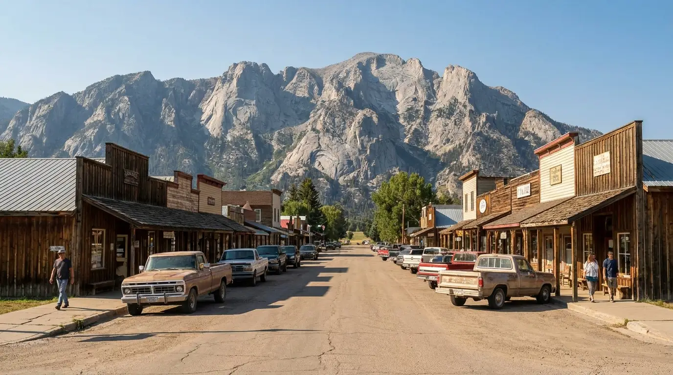
If you only have a day, or you're travelling with people who don't backpack, the east side hands you the range's most improbable sight and some of the best rock in the Rockies, both minutes from Lander on pavement. Sinks Canyon is where the Middle Fork of the Popo Agie vanishes into a cave and rises again downstream — and the walls above it made Lander a climbing town.
About 6 miles southwest of Lander on the Middle Fork. The river disappears into the Sinks, a cave in the canyon's limestone, and rises again a quarter-mile down-canyon in a placid pool — the Rise — filled with large rainbow trout. Curiously, more water reportedly emerges at the Rise than sinks above, and it comes out warmer, a puzzle that's still studied.
A visitor center, short interpretive trails, camping, and the Popo Agie Falls trailhead are all here, and the paved Sinks Canyon Road continues up into the Loop Road high country. The easiest, most family-friendly stop in a range that otherwise makes you earn everything.
Sinks Canyon and the nearby Wild Iris hold hundreds of sport and trad routes on dolomite and granite, from beginner to elite, and the culture around them runs deep — this is NOLS's hometown and the base of several guide services. Wild Iris up on Limestone Mountain is a higher, summer-season area with its own classics.
Local shops (Wild Iris Mountain Sports) and AMGA-certified guides (Wind River Climbing Guides) handle instruction, gear and guided days (§10). Seasonal raptor and access closures can apply at some crags — get current beta locally before you go.
The Winds are a fishing destination in their own right: the Green and New Fork rivers on the west side, hundreds of alpine lakes full of trout you have to walk to, and the Popo Agie on the east. But one piece of local law trips up more visitors than any hatch chart — the Wind River Indian Reservation, which borders the range and requires its own permit to set foot on, let alone fish.
West side: the upper Green and New Fork rivers around Pinedale are the guided-trip waters — Pinedale fly shops run float and wade trips (§10). Fremont and the big natural lakes hold lake trout and kokanee.
The high country: hundreds of alpine lakes and streams across the Bridger and Popo Agie Wildernesses hold cutthroat, brook, golden and rainbow trout — the classic backpack-and-fish country, where a light rod earns its weight.
East side: the Popo Agie and the Loop Road lakes (Fiddlers, Louis) fish well from Lander. On state and federal land you fish under a Wyoming Game & Fish license — buy online before you go.
The Wind River Indian Reservation borders the range on the east and southeast, and here's the part that catches people: anyone travelling on reservation land — fishing OR just hiking — needs a Wind River Tribal Fishing/Trespass Permit (plus a Recreation Stamp). It's really a trespass permit, and it applies whether or not you fish.
A Wyoming state license does not apply on tribal land, and tribal land is not public land. Permits are sold at the Shoshone & Arapaho Tribal Fish & Game office, #1 Wood Avenue, Fort Washakie, and at some Lander shops (Wind River Outdoor Company). Most reservation waters close to fishing on September 30.
Permit types, fees and current regulations should be confirmed at windriverfishandgame.com or 307-332-7207 before you go — and know exactly where the reservation boundary runs, because it isn't always signed.
There's no ranger at the trailhead here and no cell bar to call one, so the safety margin is whatever you carried in. Four hazards define a Wind River trip: bears, altitude, afternoon lightning, and isolation. None of them are exotic. All of them are routinely underestimated by people who learned the mountains somewhere friendlier.
Black and grizzly, with the north half core grizzly range. Canister in the backcountry, bear box in camp, everything scented stored. Spray on your hip, not in the pack. Make noise on brushy trails, cook away from the tent, never approach or feed. Full detail in §04.
Trailheads start at 7,000–9,400 ft and the objectives run well above 10,000. If you flew in from sea level yesterday, the first big day will humble you. Sleep a night at altitude first, hydrate hard, and know the signs of AMS. There's no quick descent from the middle of Titcomb Basin.
The defining summer pattern: storms build over the crest by late morning and strike early-to-mid afternoon with lightning and hail. Be off the passes and high basins by early afternoon. Above treeline there's nowhere to hide. Start at dawn. (Best practice, not an official threshold.)
High-basin overnight lows drop near or below freezing in midsummer, and snow can fall any month at elevation. This is not a summer-quilt range — bring a real bag, real layers, and rain gear that works. (Specific temperature normals weren't pulled from an official source; treat as field wisdom.) Mosquitoes are fierce from snowmelt into late July around the lakes and willows.
Assume no cell service off the highway. A twisted ankle two days into the Bridger Wilderness is a very different problem than the same ankle in the Tetons. Carry a satellite messenger, leave a detailed route and return time with someone, and sign the trailhead register. The nearest hospital is hours away over gravel — build your plan around self-rescue, not a phone call.
Three small towns ring the range, one to each approach, and there is almost nothing between them and the trailheads. Whichever side you're on, do your fuel, propane, groceries and last-minute gear in town — because past the pavement there's no resupply, and the next real store might be a hundred miles and a mountain range away.
The base for Titcomb Basin, Green River Lakes and Big Sandy. Gear and guiding at the Great Outdoor Shop (W Pine St, since 1976 — gear, rentals, guided fishing) and fly-fishing at Two Rivers Fishing Co. (the former Two Rivers Emporium). Fuel, groceries and lodging in town; Lakeside Lodge Resort & Marina and Half Moon Lake Lodge sit out on the lakes.
A genuine climbing and outdoor-education town, home of NOLS. Gear and Wind River route beta at Wild Iris Mountain Sports (Main St, since 1990); fly fishing, camping and reservation permits at Wind River Outdoor Company (Hwy 789); AMGA guiding at Wind River Climbing Guides; bikes at The Bike Mill. Full services, and the gateway to Sinks Canyon.
A small horse-and-ranch town near Togwotee Pass, the base for the Glacier Trail (Gannett Peak), Trail Lake and Brooks Lake. Outfitters like Chamley Outfitting run horse pack trips and drop camps into the northern high country; there are RV parks and basic services in town. Thinner services than Pinedale or Lander — top off here, don't count on it.
Specific store hours, fuel/propane addresses and RV-service shops weren't individually confirmed in this build — use the town chambers (Pinedale, Lander, Dubois) for a current list, and call ahead in shoulder season when small-town hours shrink.
The Winds have a hard snow gate on the front of the season and a fast, cold close on the back, and the genuinely good high-country window is narrower than most people plan for. The valley sights on the east side stretch the calendar; the alpine does not.
| Window | Verdict |
|---|---|
| Mid-Aug – mid-Sep | Best for the high country. Passes melted out, mosquitoes fading, weather still mostly settled, and early aspen colour by month's end. If Titcomb or the Cirque is the goal, this is the window |
| Mid-July – early Aug | Wildflowers, long days, and most passes open — but peak mosquitoes and lingering snow on the highest divides in a big year. Good, buggy, and busy |
| June – early July | Snow-gated up high. Valley hikes and Sinks Canyon are fine; the high basins and passes are often still snow routes. Rivers run high and cold. Fire risk low |
| Late Sep – Oct | Beautiful and closing. Aspen gold, thin crowds, elk rut — but campgrounds close, nights are hard-frozen, and the first serious snow can arrive any week. Reservation waters close Sept 30 |
| Nov – May | Winter. Trailhead roads unplowed and gravel roads snowed in; the range becomes a ski/snowmobile and wildlife-viewing landscape from the valley. Sinks Canyon stays reachable |
The high basins hold snow into July and a heavy winter delays melt-out further. Wildflowers peak in the montane meadows in mid-to-late July and at the alpine snowline into early August. Mosquitoes are brutal from snowmelt into late July around lakes and willows, tapering by mid-August. Afternoon thunderstorms are the daily rhythm — start at dawn, be low by early afternoon.
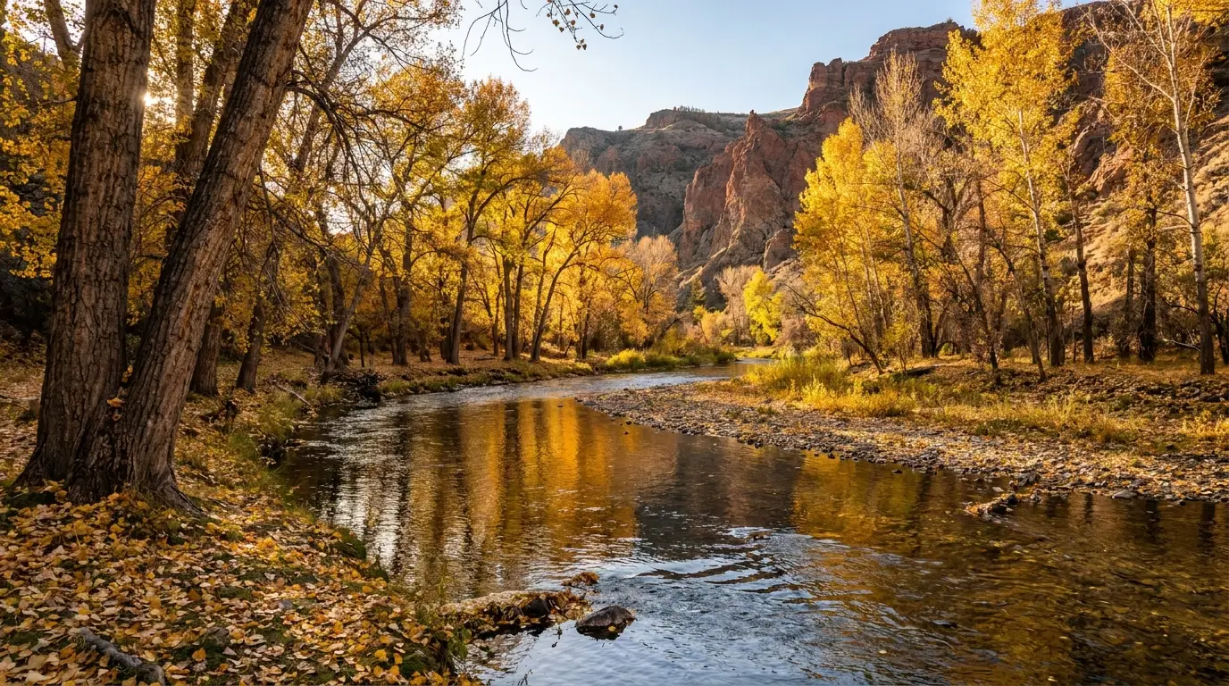
Autumn is the quiet reward on the east and north — aspen colour late September, the elk rut, clear cold air — but campgrounds close and nights freeze hard. Winter shuts the trailhead roads and turns the range into ski, snowmobile and wildlife country viewed from the valleys; the Whiskey Basin bighorn winter range near Dubois and the Green River valley hold big game. Confirm road-closure dates locally — they shift with snow year to year.
Built around the one rule that governs this range: you pick a side and commit, because the crest keeps the other one a day's drive away. Notice how each shape stays on one approach — trying to "see both sides" in a week means spending it in the car.
Run it before you leave. Tap each item as it's done — these are the ten things specific to the Wind River Range that a general road-trip or national-park habit will skip. Most come back to three facts: the roads are long gravel with no services, this is grizzly country where you enforce food storage yourself, and there is no cell signal to call for help.
Every guide has these. Most don't print them. The Wind River Range has more than usual for a specific reason: the Forest Service doesn't publish clean trail mileages or a tidy fee schedule the way the Park Service does, several campground details live only inside a booking flow, and 2026's fire-and-road situation on the north end is a moving target. Everything below should be re-checked against the linked or named source before you rely on it.
Everything above, condensed into a print-ready PDF built for the glovebox — for a range with almost no cell service, hours of gravel between trailheads and help, and no ranger to ask when you get there. The full campground table across three agencies with the honest gaps, the gravel-road discipline, the wilderness and grizzly food-storage rules, the trail roster with real snow gates, Sinks Canyon and the climbing, the fishing and the reservation permit that catches everyone, the town stock-up plan, and the consolidated list of what nobody could confirm — on paper that works where the signal doesn't.
Every Trekkr Trail Journal is built like this one: custom logistics, honest trail beta, the camping and access detail, and the local knowledge that turns a good trip into the one your crew talks about for years — including, always, a plain list of what we could not confirm. New destinations drop all season long, from the BC corridors to the Oregon Cascades to the Alberta badlands to the Wyoming Rockies.
Unlock the Trail Journal Library