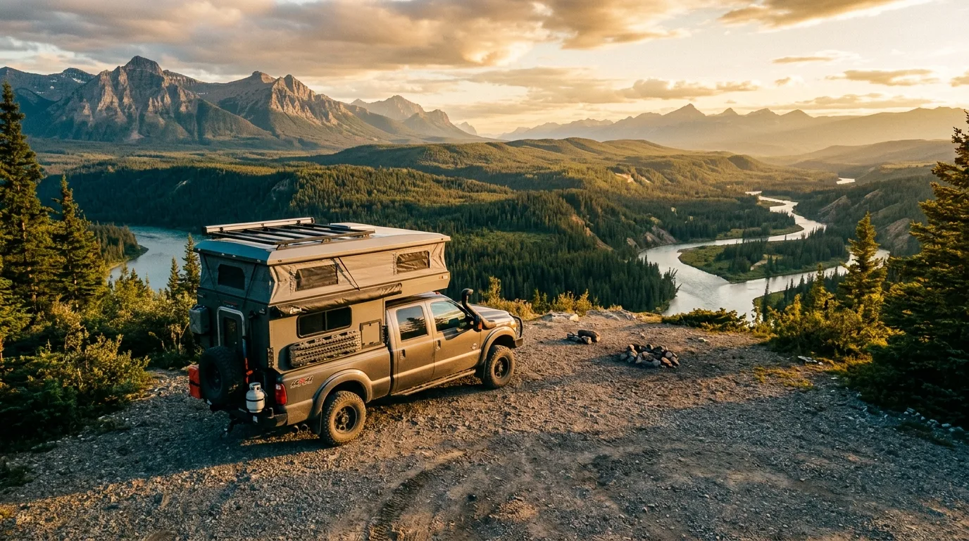
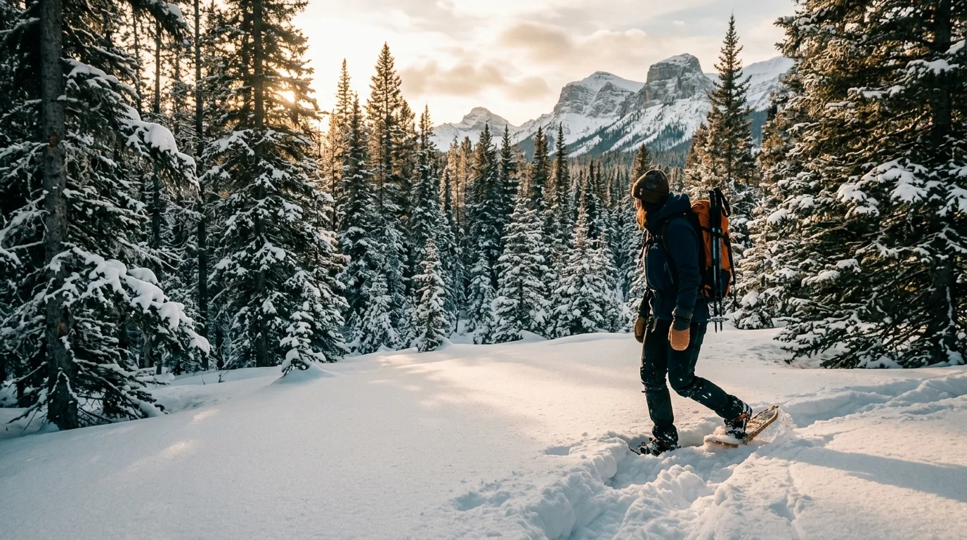
The biggest wilderness in the Alberta Rockies has no roads, no bridges, no fees and no lineups — because the only ways in are on foot or in a saddle. One paved highway skirts its eastern edge, one small town keeps it supplied, and almost nobody you know has been. This is the anti-park — taken apart.
The southeast door into Willmore is getting rebuilt this season, the Death Race takes over Grande Cache for the August long weekend, and the fire picture was quiet at press time. The rest of this journal is evergreen — this box is not. Check the live sources before you commit to anything below.
In 1959 Alberta did something it has never repeated: it gave one block of the Rockies its own law. The Willmore Wilderness Park Act — separate from the Provincial Parks Act, still in force — bans all industrial activity, allows no land dispositions except trapping and outfitting permits, and dedicates roughly 4,600 km² of front-range mountain country "to the use of the people of Alberta." No roads were ever built. No bridges. No campgrounds, no visitor centre, no gate, no fee. North of Jasper and twice the size of Waterton and the Castle combined, Willmore is what the Rockies look like when nobody builds anything at all.
The trails are older than the park — fur-trade routes, Indigenous travel corridors, trapline and outfitter tracks — and the horse culture that cut them never left. Today a Grande Cache-based charity, the Willmore Wilderness Foundation, still clears hundreds of kilometres by pack train and crosscut. The supply town is Grande Cache: a hamlet of about 3,300 on a bench above the Smoky River, with the last fuel, groceries, cell signal and emergency room — and, every August, an ultramarathon called the Canadian Death Race that tells you what the locals consider fun. Paved Highway 40 links it all: Hinton to Grande Cache along Willmore's eastern edge, staging areas hanging off it like trailheads to another century.
No entry fee, no camping fee, no reservation system, no designated sites: Willmore is the cheapest wild country in this series. The asterisk is provincial, not park: adults random-camping on this side of the Rockies need Alberta's Public Lands Camping Pass — and yes, the province says that includes Willmore.
The pass buys random camping: inside Willmore (tents only — there's nothing to drive on), and vehicle-based random camping on the crown land along the Hwy 40 corridor — Green Area public land, 14-day limit, then move at least 1 km for 72 hours.
It does not make the staging campgrounds free: provincial parks and recreation areas are excluded from the pass scheme, so a night at Sulphur Gates, Rock Lake or Big Berland is a normal $20–$30 campground fee. Think of it as: pay to park beside the wilderness, camp free inside it.
Everything hangs off paved Highway 40: Hinton at the south end, Grande Cache in the middle, Grande Prairie far to the north — and Willmore filling the entire western horizon. Four staging areas are the only doors: Rock Lake, Big Berland, Cowlick Creek and Sulphur Gates. A schematic planning map: navigate with an offline topo, not this page.
The series rule holds even out here — you can't just sleep anywhere. But this corridor comes closer to camping freedom than anywhere else in this series: real crown-land random camping beside the truck, and a wilderness where the backcountry is free by law.
Seven drive-up campgrounds line the corridor from $20–$38 (§05). Most are first-come; Rock Lake and Big Berland reserve by phone (780-865-2154), and only Pierre Grey's Lakes is on the Alberta Parks online system. Sulphur Gates is open year-round — the road just isn't plowed.
The Hwy 40 corridor is Green Area public land inside the Public Lands Camping Pass boundary: vehicle-based random camping is legal with the pass — 14 days max, then move at least 1 km for 72 hours. Not in the PRAs or provincial parks themselves, and fire rules follow the Forest Protection Area (permits for anything beyond a campfire).
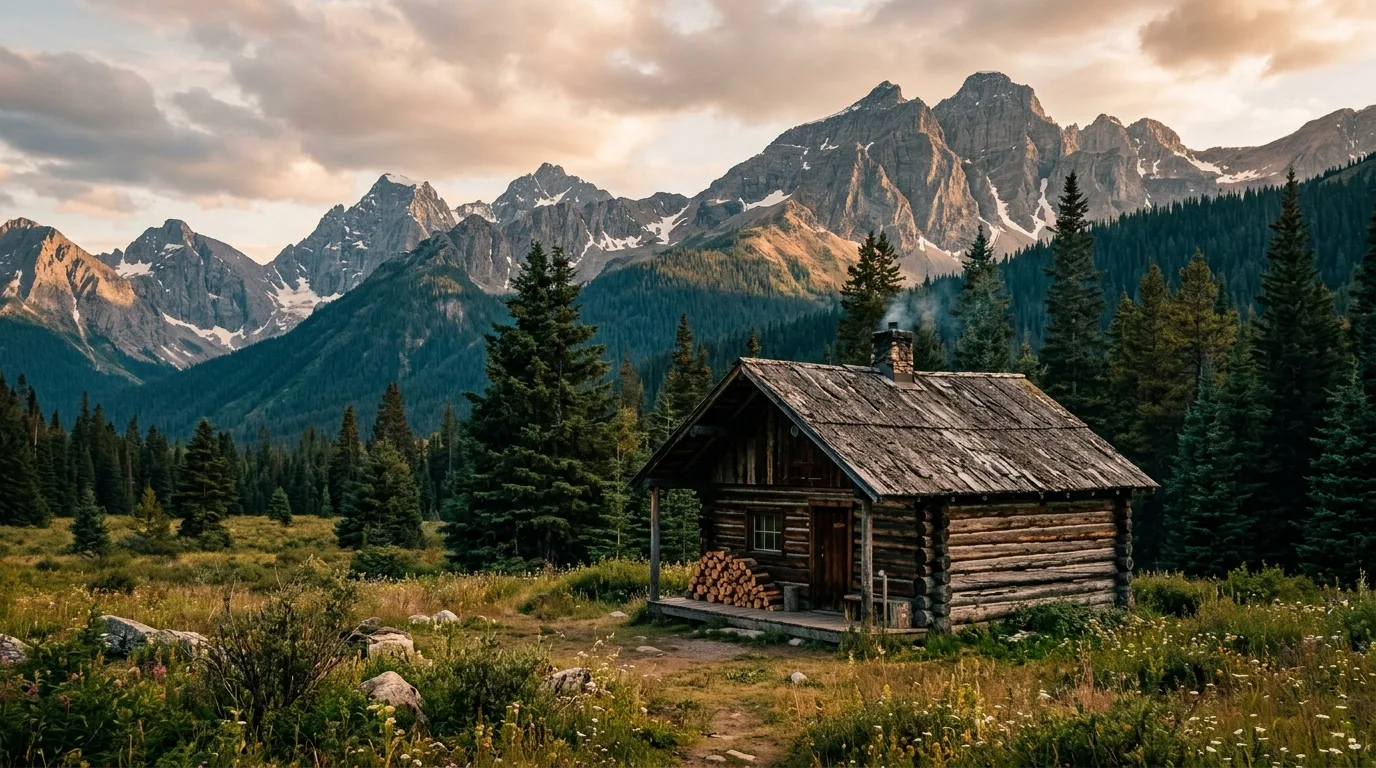
Inside the park: no permit, no fee, no designated sites — random camping with the PLCP, tents only by physics (nothing to drive on). Camp 60 m from water, toilets and wastewater 100 m out, dead wood only for fires, stoves recommended, pack out everything. Three historic cabins — Summit, Sulphur and Sheep Creek — stay open to the public; all others are locked patrol cabins.
There is almost nothing to book — and that's the feature. Pierre Grey's Lakes reserves on reserve.albertaparks.ca (90-day window, $12 fee). Rock Lake (46 of 104 sites) and Big Berland reserve through the operator, Fox Creek Development, at 780-865-2154 — a phone call, like it's 1995. Everything else, including all of Sulphur Gates, is first-come. Only the Death Race weekend (1 Aug 2026) genuinely fills the corridor.
Signal in Hinton and Grande Cache; long dead zones on Hwy 40 between them and nothing at all inside Willmore. This is satellite-communicator country in a way the busier parks only pretend to be — a sprained ankle two fords up the Sulphur is a multi-day problem without one. Emergencies: 911 · Grande Cache has a 24/7 emergency department (780-827-3701) · Alberta Parks Hinton office 780-865-8395.
South to north along the corridor. Fees and seasons checked against Alberta Parks and the West Fraser FRMA pages in July 2026 — and one honest warning that applies to nearly all of them: the pumps are non-potable. Bring every litre you'll drink.
| Basecamp | Where | Style | Pick it for | Watch for |
|---|---|---|---|---|
| Wm. A. Switzer PP | 19 km N of Hinton · Hwy 40 | 5 campgrounds · Gregg Lake 163 sites · reservable online | The southern anchor: showers, potable water, powered loops — the last full-service night before the corridor. | It's still 125+ km from Grande Cache. Book online like a normal park — this is the only one down here that works that way |
| Rock Lake PP | Hwy 40 S + ~35 km gravel | 104 sites (79 unserviced, 14 equestrian, 11 walk-in) · $20 · phone reserve | The southeast Willmore door: lakeshore, boat launch, corrals, and the only trailheads with official distances. | 2026: road + bridge construction Jul 19–Oct 31; equestrian loop 1 closed Aug 1–Oct 31. Logging trucks on the access road; Wildhay can flood it. Season May 1–Oct 31 · 780-865-2154 |
| Big Berland PRA | Hwy 40 · ~70 km from both towns | 18 unserviced · $20 · phone reserve | Zero extra gravel — the easiest staging on the corridor, spruce sites on the Berland River. 18.5 km trail to Adams Creek Lookout. | Horses are NOT allowed in the campground — the Willmore horse staging is separate, past the campground. Season May 1–Oct 1 |
| Pierre Grey's Lakes PP | Hwy 40 · 32 km SE of Grande Cache | 87 sites (65 powered) · $30–$38 · reservable online | The comfort pick: power, lakes, four loops — the corridor's only campground on the Alberta Parks reservation system. | Short season: May 13 – Sep 1 (2026). $12 reservation fee. Books ahead for long weekends |
| Grande Cache Municipal | In the hamlet | 77 sites · 56 full-service · showers, laundry | Town services, walkable to groceries and the interpretive centre — the resupply-and-regroup night. | 2026 rates unverified at press time (online booking opened 1 Apr) — confirm locally. Race weekend sells out completely |
| Sulphur Gates PRA | 12 km SW of Grande Cache | Hikers Canyon: 11 tent sites · Saddle Ridge: 22 equestrian w/ corrals · $30 (+$4/horse) · first-come | THE Willmore staging area: canyon viewpoints steps from the lot, Eaton Falls trail, the Mountain Trail corridor start. | First-come only, year-round — but the access road is unmaintained in winter. Non-potable pump water, no firewood sold. Genuinely beary |
| Sheep Creek PRA | Hwy 40 · 25 km N of Grande Cache | 6 unserviced · $25 · first-come | The quiet Smoky River pocket on the Grande Prairie side — six sites, usually empty, aurora-dark. | Season May 14 – Oct 13. Tiny — no plan B if it's full. Leaseholder: MD of Greenview |

Seven road-accessible objectives from a three-minute canyon platform to Death Race summits. An honesty note up front: this is the least-documented region in the series — official distances exist only at Rock Lake, so most figures below are labelled for what they are: the best-sourced unofficial numbers available.
| Objective | Level | Distance | Gain | Time | Figure quality |
|---|---|---|---|---|---|
| Sulphur Gates platforms | 0.3 km from the lot | ~11 m | 15 min | Trip-report | |
| Muskeg Falls | 2.4 km return | Minimal | 1 hr | MD brochure | |
| Rock Lake viewpoints | 0.5 km / 3 km / 7 km return | Gentle–moderate | ½–3 hr | Official | |
| Eaton Falls | ~7 km return | ~160 m | 2.5–3 hr | Consensus of reports | |
| Ambler Mountain | ~6 km return | ~365 m | 2–4 hr | Single source | |
| Grande Mountain | ~10 km return | ~950 m | 4–6 hr | Brochure + reports | |
| Flood Mtn / Mt Hamel | No reliable totals | Big | Full day | Unverified |
Figure quality, plainly: "Official" = Alberta Parks publishes it. "MD brochure" = MD of Greenview's trail brochure. "Consensus / trip-report" = repeated GPS-verified reports, no official figure exists. "Single source / unverified" = plan generously and read the trailhead board. Nothing here cites crowd-sourced trail apps.
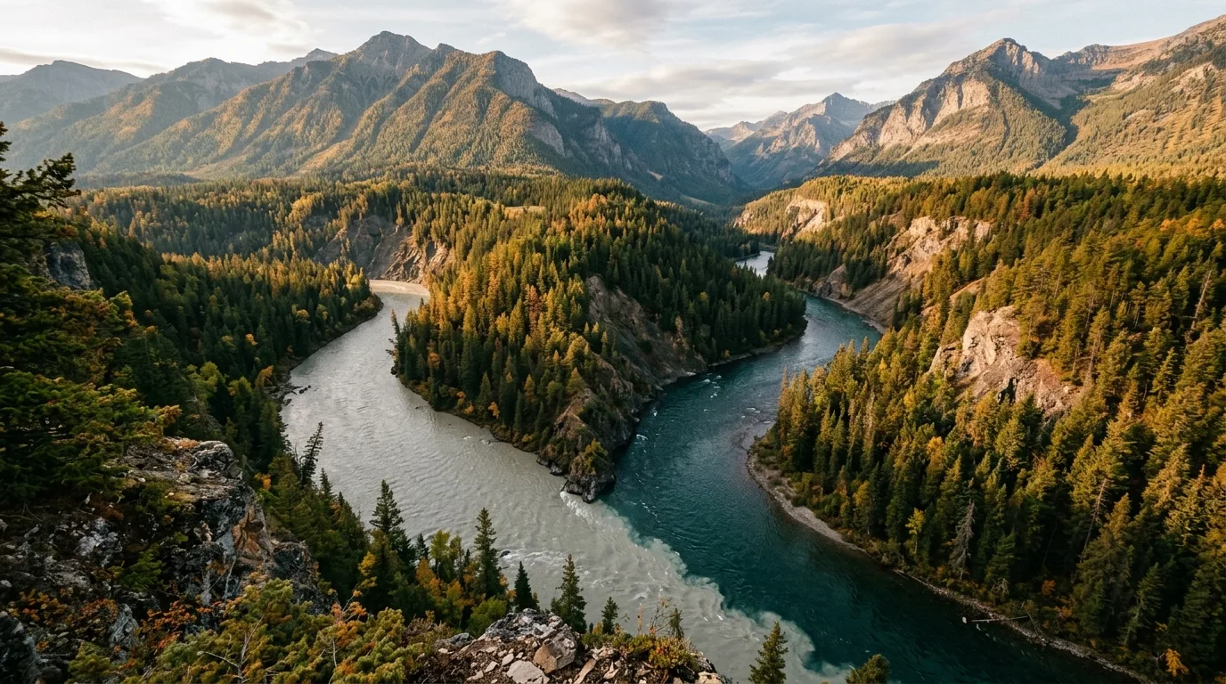
Four viewing platforms hang above the meeting of two rivers that refuse to match: the silty, glacial Smoky and the clear Sulphur, seventy-five metres down between canyon walls. It's the best effort-to-drama ratio in this journal, twelve kilometres from town — and you're standing on the Willmore boundary while you look. A longer viewpoint circuit of roughly 6 km exists for parties who want the full rim.
MAIN CAUTION: unfenced 75 m cliff edges start immediately beyond the platforms — this is a hold-the-kids-hands stop, not a scramble-for-a-better-angle stop. And it's beary: a 2025 party met a black bear in this parking lot. Spray from the car door.
From the Sulphur Gates staging area, an old rocky road contours above the Smoky, crosses the park boundary, and a narrower spur drops to a broad waterfall on Eaton Creek — the easiest legitimate "I hiked Willmore" in existence. The official brochure calls it 2.5 km one-way; GPS-measured trip reports keep landing on ~3.5 km. Budget for the longer figure and enjoy being early.
MAIN CAUTION: the rock wall at the falls is loose and overhanging — admire from the creek bed, don't hug the wall, and reaching the very base means wading. Horse parties share the first stretch; step downhill-side and talk so the horses know you're human.
Straight up the powerline and mining-road grades to the radio towers, with the whole story below: the hamlet on its bench, the Smoky making its big bend, and Willmore's front ranges stacked west to the horizon. This is Leg 2 of the Death Race, and the race calls its descent the roughest piece of the course. Locals run it before work. You're allowed to take five hours.
MAIN CAUTION: shared with dirt bikes and OHVs — expect engine noise on weekends and yield the line. The steep gravel grades roll underfoot like ball bearings on the way down; poles earn their keep. Full sun, carry real water.
The quickest real summit in the area and a Bronze peak in the town's Passport to the Peaks program: damp subalpine forest, then open slopes to a cairned top with Willmore filling the west. Access matters here — it's off Beaverdam Road (8 km north of town on Hwy 40, then ~7 km to the signed crossroads, park at the Ambler Loop fork), the same corridor as Mount Hamel. Guides that route it from Sulphur Gates are describing a trip that didn't check out.
MAIN CAUTION: navigation is flagging tape, not signage, and the first summit is false — the cairn sits on the second, with a dip between. The only distance figures come from one dated source; treat the numbers as an estimate and the route-finding as the real difficulty.
The other two Death Race summits, for parties who like their days big and their sources honest. Flood Mountain (trailhead 10 km south of town): the first 7 km are moderate, well-established trail — then the summit "Slugfest" loop turns to steep, rooty race terrain. Mount Hamel (via Beaverdam Road): a multi-use OHV road climbs to near treeline — high-clearance vehicles shorten the day dramatically — then ridge walking to the 2,129 m top, with Twin Falls a short separate stop at its foot.
MAIN CAUTION: no official totals exist for either — published figures range wildly depending on where people parked. Plan for a full day, carry the topo, and don't let the friendly first 7 km of Flood talk you into the loop after lunch. Hamel's upper mountain is exposed and turns with the weather.
The one place in this whole region where Alberta Parks publishes real trail figures, so savour them: the Willmore Viewpoint is a gentle 0.5 km from the staging area to a Rock Lake panorama; the George Kelley Trail reaches its viewpoint at 1.5 km and tops its mountain at 3.5 km. The Mountain Trail — the historic route into deep Willmore — starts here too, which makes Rock Lake the only basecamp where the family stroll and the two-week expedition share a parking lot.
MAIN CAUTION: the 2026 construction (road work and the new Wildhay bridge, single-lane access, Jul 19–Oct 31) is the season's variable — call before hauling anything big. And the direct Mountain Trail approach fords the Wildhay: Alberta Parks itself points day-parties at the Jackson Creek Trail instead when water is up.
Past the staging areas, Willmore is multi-day country on fur-trade routes — and this section refuses to pretend otherwise. Here's what the deep park actually asks of you, and the honest ways in: your own fit party, or a string of horses with someone who's crossed these rivers for forty years.
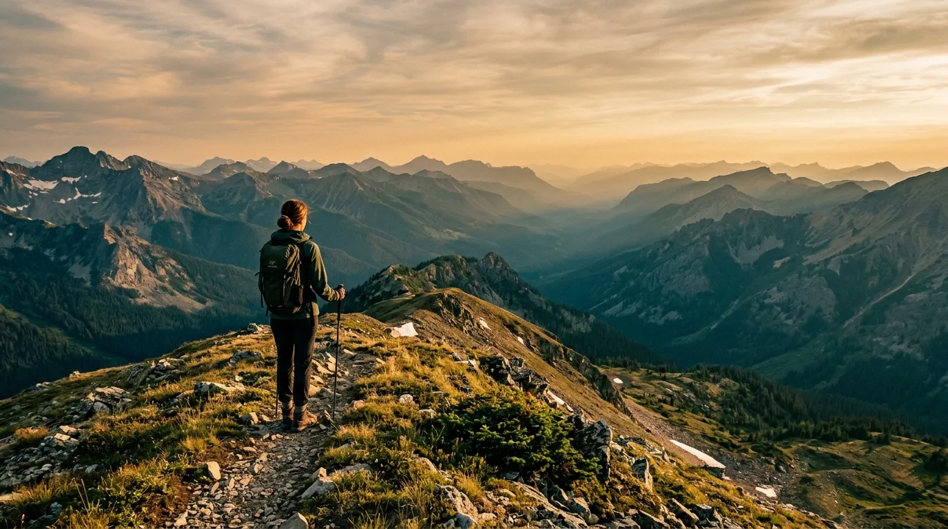
Alberta Parks claims over 750 km of trails; what it doesn't say is that government crews don't maintain them — a volunteer foundation does, by horse and saw, a valley at a time. Expect deadfall, burn scars, braided fords and routes that fade to game trail. The realistic backpacking objective is the Eagle's Nest Pass corridor from Rock Lake — the historic Mountain Trail, junction with the Indian Trail roughly 17 km in (unofficial figure) — as a 2–4 day out-and-back. Enter via Jackson Creek when the Wildhay is up.
Deeper — Sheep Creek, the Jackpine, the Smoky headwaters — is expedition terrain with multiple serious fords, and the party that belongs there already knows it does. Three historic cabins (Summit, Sulphur, Sheep Creek) stay open as public shelters; everything else is locked patrol infrastructure.
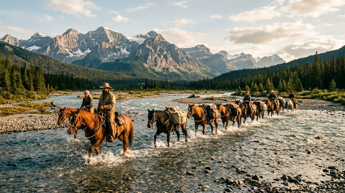
This is one of the last places in Canada where commercial horse-packing survives as a living tradition, not a photo op. Indian Trail Adventures (Indigenous family-owned, Victor Lake, 40+ years; 780-501-0525) runs summer pack trips from Sulphur Gates — 6- and 9-day trips (the 9-day around $3,150 with guide, wrangler, cook, horses and meals) plus horse-assisted hiking where the string carries camp and you walk light. The Willmore Wilderness Foundation hosts heritage trail trips of its own.
Book by phone, months ahead — these are small family outfits, and some local operators' websites are years stale even when the business is alive. A working phone number beats a pretty homepage out here.

Since 2002 the Willmore Wilderness Foundation — a Grande Cache charity — has cleared the trails the way they were cut: pack strings, travelling tent camps, elders teaching teenagers to run a crosscut saw. One summer's work cleared 127 km across eight routes. Their trail reports are the closest thing Willmore has to a conditions page, and their advice for burn-scar valleys — pack a saw, because trees keep falling — is the realest trail beta in this issue.
The trails themselves are older than the province: Indigenous travel corridors and fur-trade routes that became trapline and outfitter tracks. Walking the Mountain Trail is walking a route people have used for centuries — which is exactly why the Act protects hunting, trapping and outfitting inside the park instead of banning them.
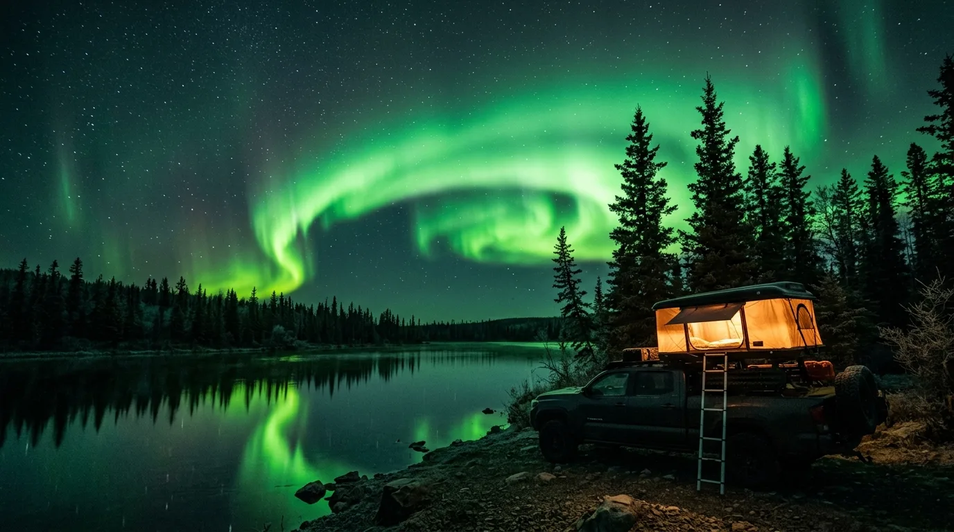
The Smoky drainage runs on Alberta's ES4 rulebook and holds native bull trout — the fish you photograph and put back, by law, everywhere in the province. And at 54° north with a hamlet's worth of light pollution, the corridor's night sky is a destination of its own.
Willmore holds one of Alberta's densest grizzly populations, nationally significant bighorn herds — and the mountain caribou whose survival is the region's defining conservation fight. This is also working country: hunters, trappers and outfitters share every trail in here, legally.
Grizzlies are provincially Threatened and this is core habitat — high density, no bulletin board, no closures system to warn you. Black bears work the valley bottoms and, on the record, the Sulphur Gates parking lot. Spray on the hip from the vehicle door, food hard-sided or hung, camp kitchens well away from tents. In August the berry slopes are theirs; travel loud and grouped.
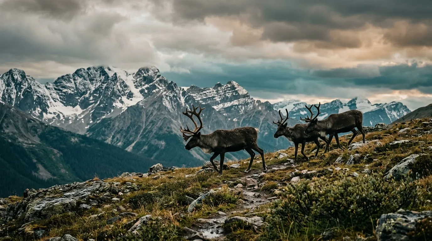
Two Threatened herds define this country: À La Pêche (~250 animals, migratory, summering in Willmore and northern Jasper — stable-to-increasing since 2015) and the non-migratory Little Smoky, at immediate risk of extirpation with under 1% of its range undisturbed. The province props both up with wolf culls and maternal penning — a hard, contested trade. No closures affect hikers; what's asked of you is simpler: give any caribou the whole valley, leash the dog, and know what you're looking at.
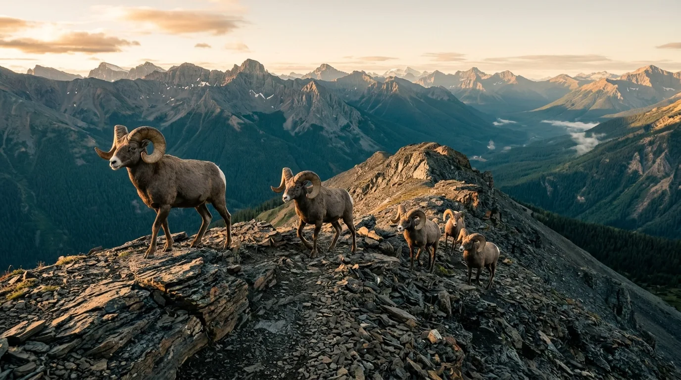
Willmore's bighorn sheep are genuinely famous — trophy-class rams draw hunters from across the continent — alongside mountain goats, moose, elk, wolves, wolverine and cougar. Hunting is legal inside the park (the Act protects it as traditional use), so from September the trails are shared: blaze orange isn't legally required in Alberta, but wear it anyway — on you, the pack, and the dog. Leave trapline sets and cabins strictly alone: they're someone's livelihood, protected by the same Act that keeps this place wild.

Most protected places manage wildlife by separating people from it. Willmore runs the opposite experiment: hunting, trapping, fishing and outfitting continue as they have for generations, inside a park where industry is banned outright. The result is a wilderness that stayed wild because the people who work it defend it — the outfitters and trappers were the loudest voices against every road and mine ever proposed here.
For visitors the contract is simple: you're a guest in working country. Yield to pack strings (downhill side, talk calmly). Don't camp on the obvious horse camps if a string is coming in. Report poaching, not hunting — 1-800-642-3800 (Report A Poacher) is the number that protects this place.
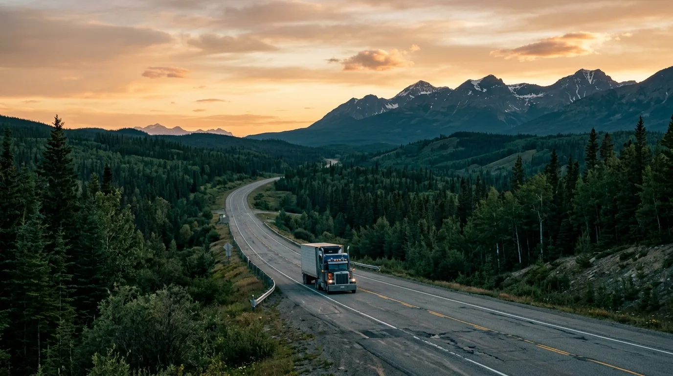
The corridor's golden rule: there is nothing between the towns. Not a gas station, not a store, not a reliable bar of signal — 145 km of nothing from Hinton to Grande Cache, then 190 more to Grande Prairie. The highway is paved and pretty; the math is unforgiving.
| Stop | Position | Count on | Field notes |
|---|---|---|---|
| Hinton | Hwy 16 × Hwy 40 south | Everything: fuel + diesel, supermarkets, hardware, 24-h options · year-round | The full-provision stop. Alberta Parks' area office lives here too (780-865-8395) — the phone number for Willmore questions |
| The corridor | Hwy 40 · 145 km | Nothing | No fuel, no store, no potable water, long cell dead zones. Paved the whole way and plowed in winter — but empty. Watch for logging trucks and wildlife at dawn/dusk |
| Grande Cache | Mid-corridor · the bench above the Smoky | Fuel + diesel, groceries, restaurants, 24/7 ER · year-round | Pop. ~3,300, a hamlet of the MD of Greenview since 2019. Fill everything here — tank, jerry, water, food — before any staging area. Hospital: 780-827-3701 |
| North to Grande Prairie | Hwy 40 · 190 km | Nothing until the city | The longer, emptier half. If the trip continues north, Grande Cache is not optional — it's the only pump for 335 km of highway |
The corridor itself is easy range — it's the spurs that eat fuel: ~70 km of round-trip gravel for a Rock Lake stay, Beaverdam Road climbs for the Hamel/Ambler days, idling at camp. Rule of thumb: arrive in Grande Cache full, leave every stop full, and carry a jerry if the plan includes Rock Lake plus exploring. Diesel is available in both towns — unlike some corners of this series. EV drivers: charging exists in Hinton and Grande Prairie; treat Grande Cache as a gap and plan accordingly.
Hwy 40 is pavement; the doors aren't. Rock Lake Road is ~35 km of active-haul logging gravel (radio-controlled trucks own the middle), subject to sudden flooding from the Wildhay — and under construction with single-lane sections through October 2026. Sulphur Gates road is short but unmaintained in winter. Full-size spare, real tires, headlights on, and slow down for every truck: chipped glass is the corridor's souvenir.
Grande Cache covers the basics: groceries, fuel, restaurants, the municipal campground's showers and laundry, and the Tourism & Interpretive Centre (780-827-3300) — the single best information stop in this issue. Signal: towns yes, corridor patchy, backcountry zero. Emergencies: 911 · Grande Cache ER 780-827-3701 (24/7) · Report A Poacher 1-800-642-3800. Write them down; your phone will be a camera out here.
On Hwy 40 at the southeast end of town: museum displays from fur-trade tools to fossils, Willmore wildlife mounts, a theatre, the gift shop — and staff who actually know the trails. Buy the Passport to the Peaks book here and get your summits stamped. 780-827-3300.
The town's standing challenge: 21 summits around Grande Cache, with Bronze, Silver and Gold recognition as you log them. Ambler and Grande Mountain from this issue both count. It's the rare tourism program that's actually a multi-year project — locals measure themselves by it.
Saturday 1 August 2026, 8:00 am: 118 km, three summits, about 17,000 ft of elevation change, 24-hour limit, up to 1,249 runners — plus a Near Death Marathon and a Sunday kids' race. As a spectator weekend it's the town at full volume; as a camper, book ahead or be elsewhere.
Sixteen kilometres south of town off Hwy 40: a 1.2 km walk to a broad falls on the Muskeg River. The best payoff-per-step stop on the drive in — stretch the legs here instead of at a gas station that doesn't exist anyway.
The town's front yard: a day-use lake with a beach feel on hot afternoons, minutes from the campground. Paddle-friendly, kid-friendly, and the easy evening when the legs are done. The fragmented town-trail network wanders from here if you want a flat hour.
The Beaverdam corridor (8 km north of town) is the day-trip multiplier: Twin Falls as a short stop at the foot of Mount Hamel, Ambler's trailhead up the road, and the Hamel OHV route for high-clearance rigs that want treeline without the full grind. Dirt road — weather-dependent.
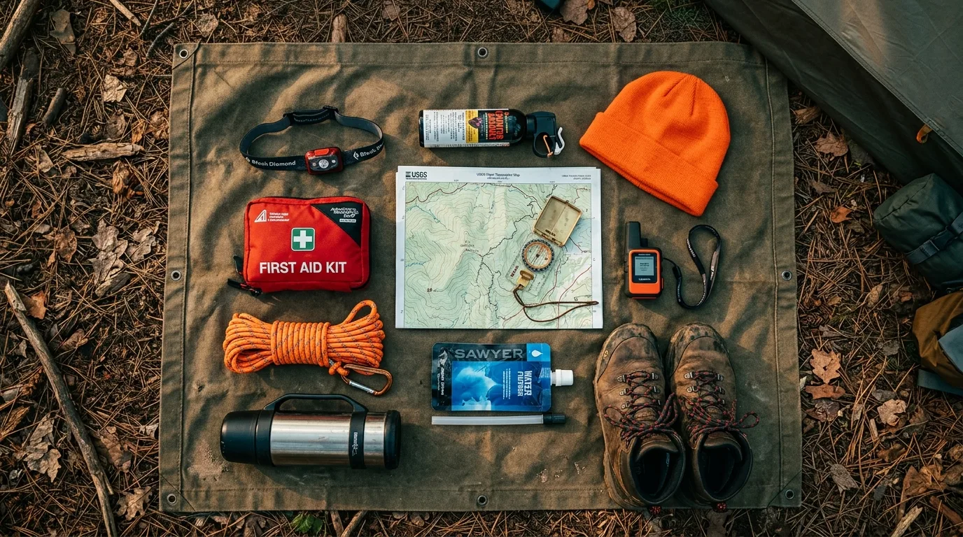
A region with no potable taps, no cell coverage, no bridges and no rescue infrastructure — where the nearest anything is the town you left. Orange items are the non-negotiables.
Willmore in winter is foot, ski and snowshoe only — the motorized ban doesn't hibernate — and it is expert-only, full stop. The honest winter trip here is the corridor itself: empty highway, sixteen-hour aurora nights, and a town that keeps the lights on.
Improvising, more than anywhere in this series. Sulphur Gates' road is unmaintained in winter; Rock Lake Road is logging-truck gravel with no cell coverage; every campground service that existed in July is gone; and the corridor's 145 km gap is now 145 km at -30 with no traffic to flag down. Winterize properly, carry the sleeping-bag-and-candle kit in the cab, keep the tank above half by rule, and check 511 Alberta before committing to the drive. The town's ER runs 24/7 all winter — the trick is being able to reach it.
Run it the night before you roll. Tap each item as it's done — no excuses survive contact with this list.
This is the least-documented region in the series — no live trail conditions, official figures only at Rock Lake, and some local operator websites years stale. Where this issue relies on an unofficial figure, it says so in place. These sources — and these phone numbers — are the truth on the day you travel.
Everything above, condensed into a print-ready PDF built for the glovebox — designed for a region where your phone is a camera the moment you leave town. The corridor map, trail cards with their honesty ratings, the staging-camp tables, the ford doctrine, every phone number that matters and the departure check, on paper that doesn't need a signal.
Every Trekkr Trail Journal is built like this one: custom maps, honest trail beta, full logistics, kit lists and the local knowledge that turns a good trip into the one your crew talks about for years. New destinations drop all season long.
Unlock the Trail Journal Library