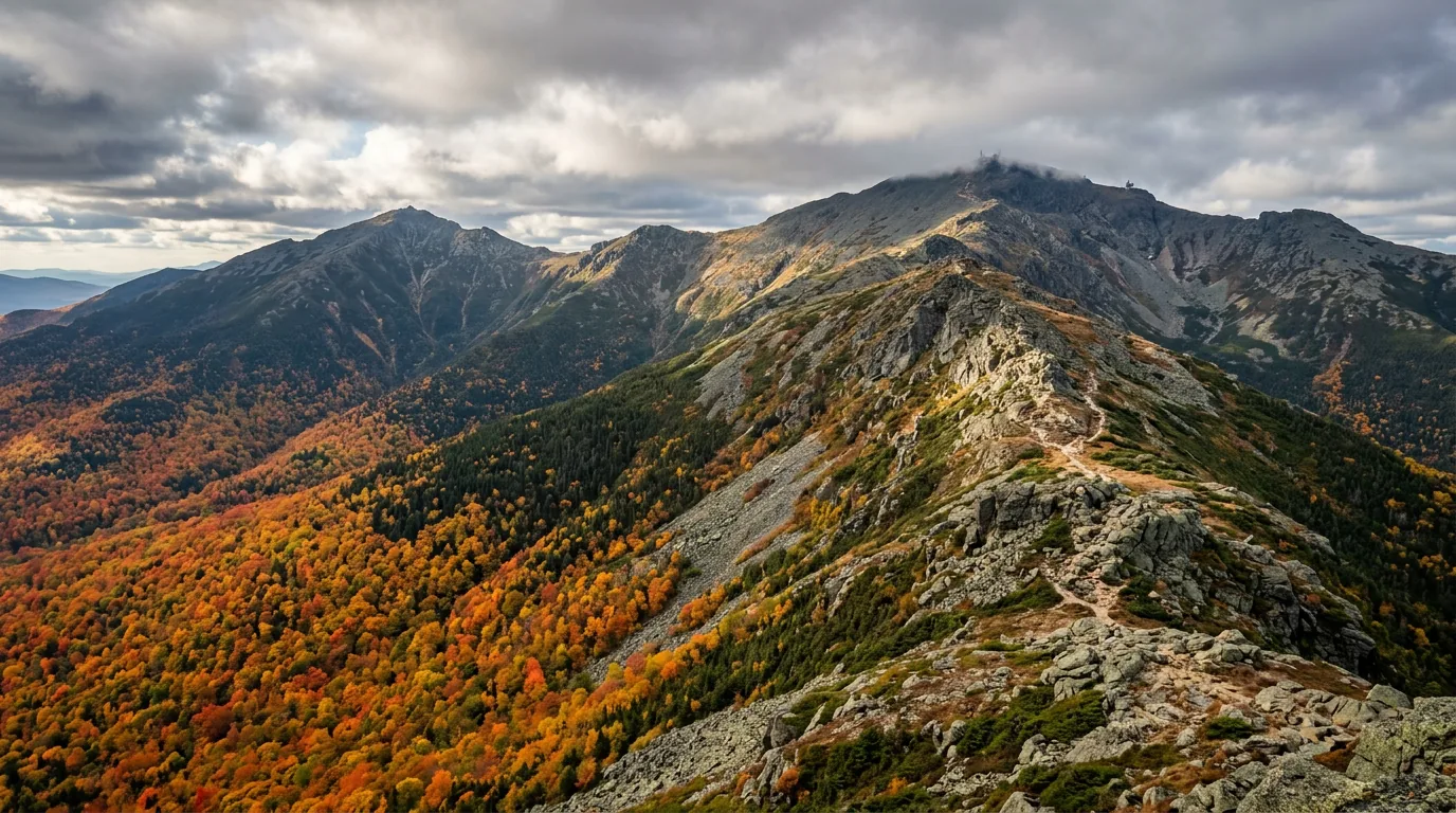
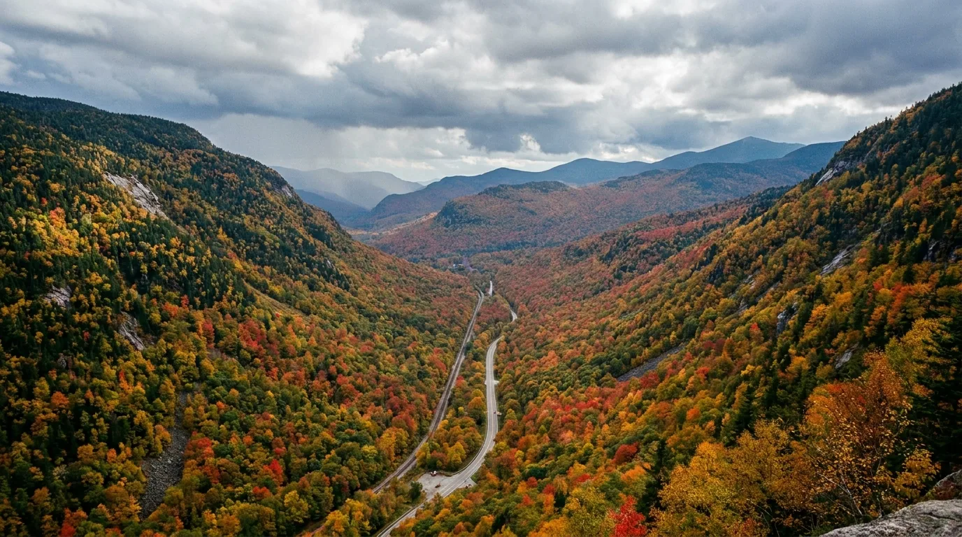
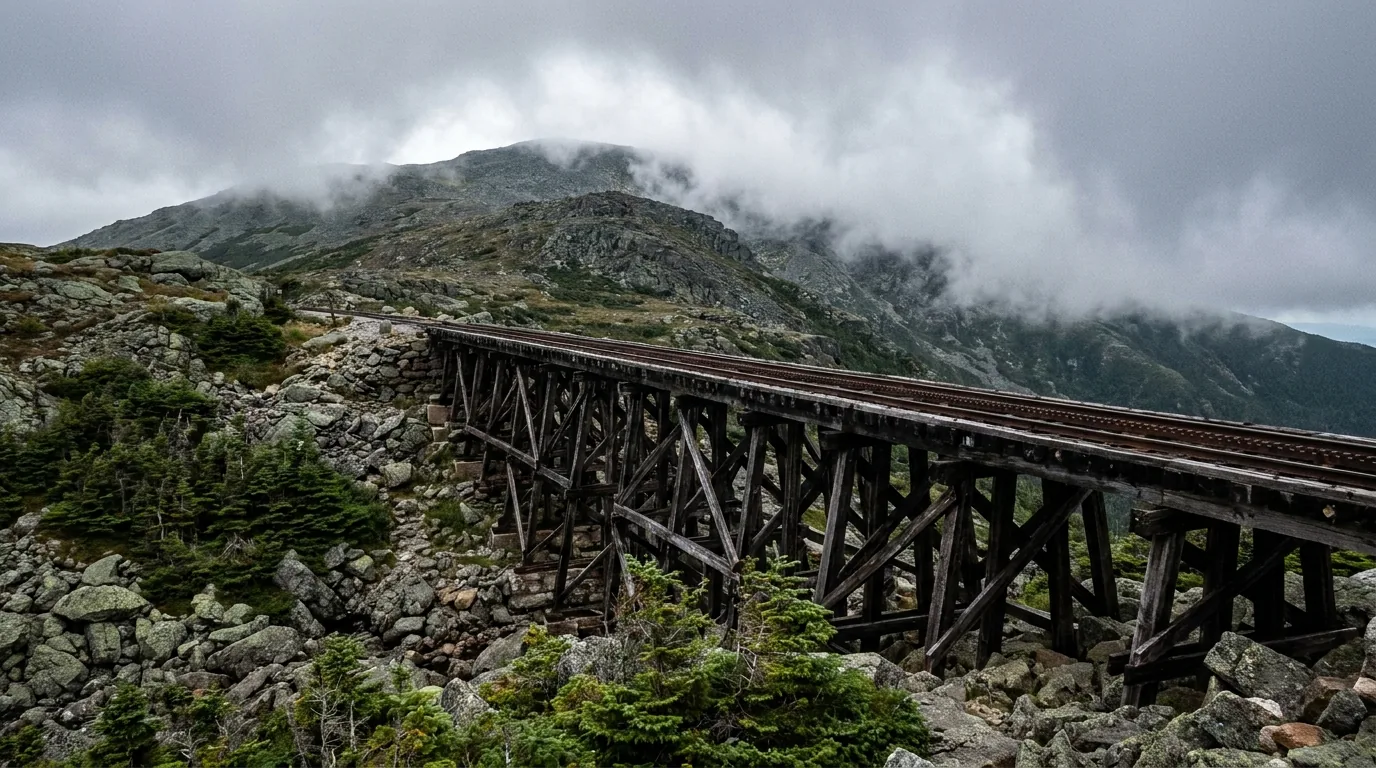
These are the most consequential small mountains in North America. Nothing here breaks 6,300 feet. People die here anyway, most years, and mostly of cold. The White Mountain National Forest covers 750,852 acres, and at its centre the Presidential Range runs a long rocky spine above treeline to Mount Washington, 6,288 ft — the most famously bad weather on the continent. And yet the same range is astonishingly accessible: 34.5 miles of Kancamagus Highway with no gas and no stores, a one-lane-each-way Interstate through Franconia Notch, waterfalls off the pavement, and the best alpine ridge walk in the eastern United States.
The rest of this journal is evergreen; this box is not. In the Whites one thing decides whether your plan works before you pick a trail — what the weather is doing above treeline (§03, §06). Everything else is logistics: a parking pass, a full tank before the Kanc, and a campground that probably has no shower. Three closures are specific to 2026 and are called out below. Everything here is dated to the day we checked it. Trust the live sources, not our date stamp.
The White Mountain National Forest covers 750,852 acres across New Hampshire and a sliver of western Maine (about 5.65% of the forest is on the Maine side), and inside that footprint sits a range that punishes complacency in a way its modest elevations do not advertise. The centre of it is the Presidential Range — thirteen mountains, nine of them over 4,000 ft, seven named after U.S. presidents, running in a long rocky spine above the treeline. Nothing here breaks 6,300 feet. People die here anyway, most years, and mostly of cold. That tension is what this guide is built around — because the same range is also astonishingly easy to reach, and that is exactly the trap.
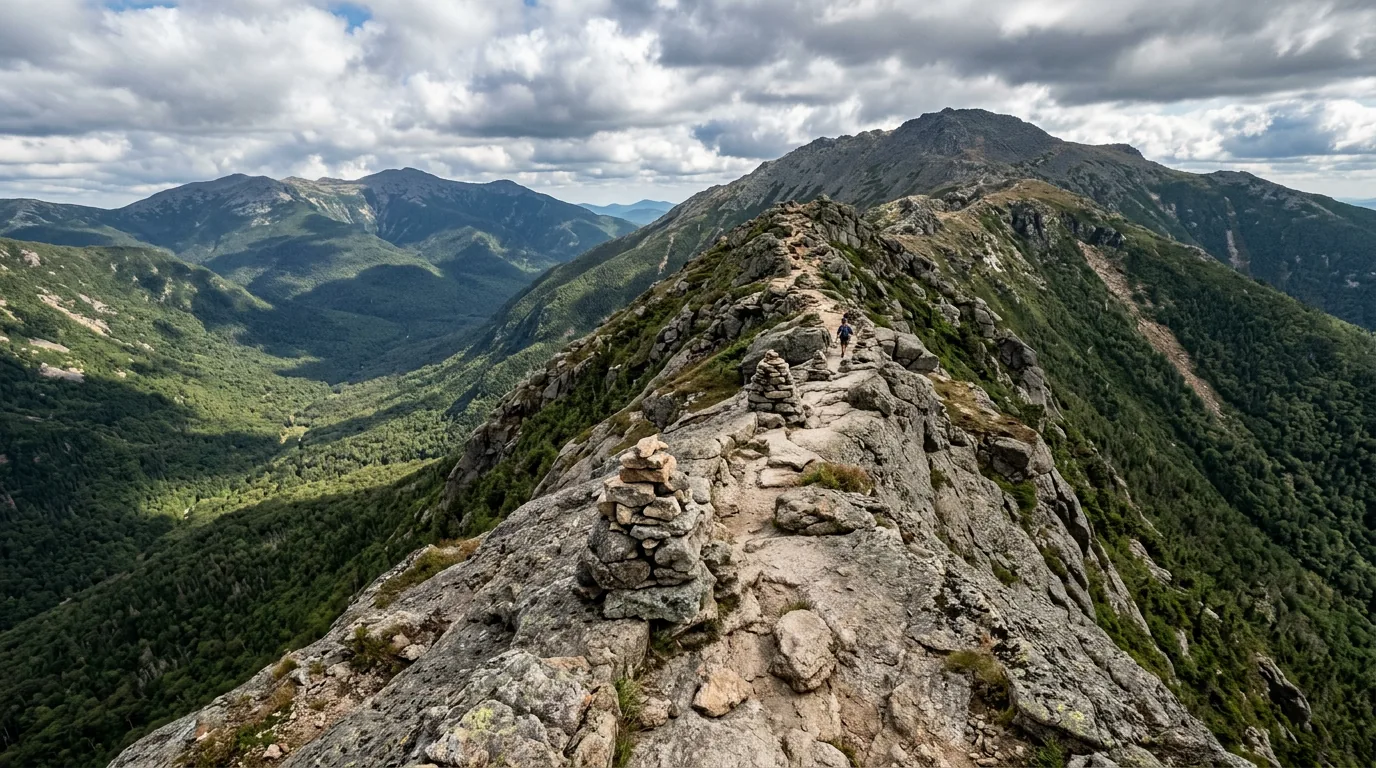
Nearly two miles of fully exposed alpine ridge on the Franconia Ridge Loop — on a clear day the best walk in the eastern United States. Plus the 48 four-thousand-footers, eight AMC high huts, and waterfalls you can reach in an afternoon (§04, §05).
Not the height. The weather. Hypothermia is the mountain's most reliable killer and it works in July. People walk up in cotton t-shirts on a warm valley morning and get found in the afternoon. The forecast and a turn-around time are the whole game (§03, §06).
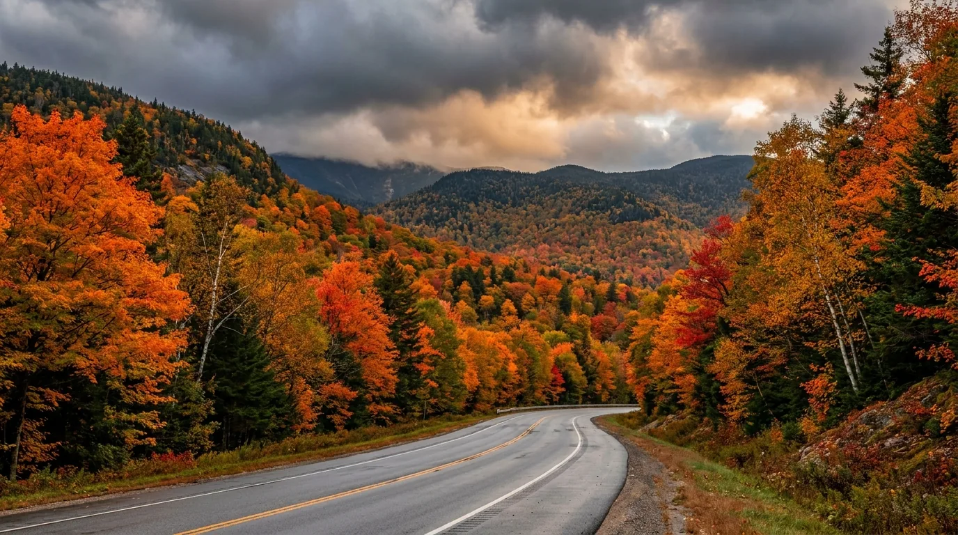
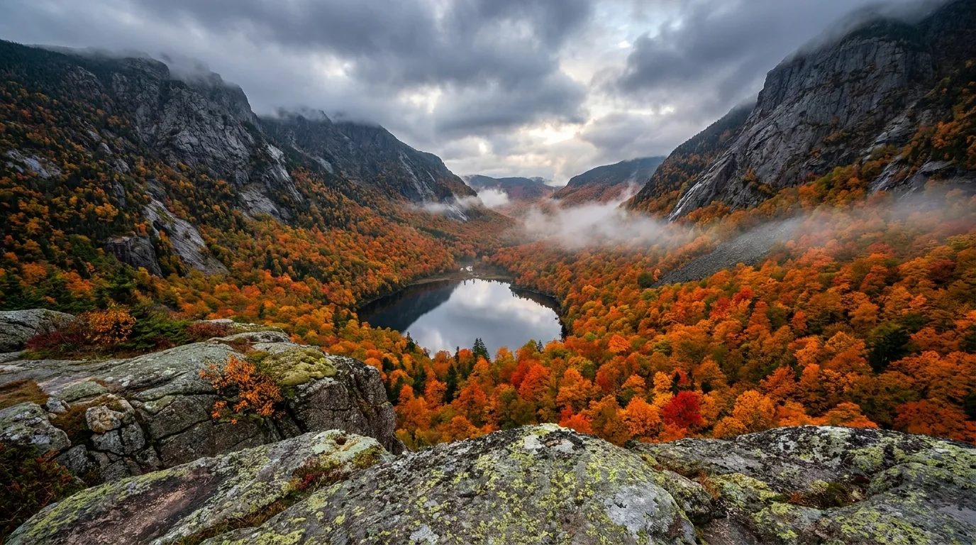
The foliage window runs end of September into the second week of October — genuinely short, genuinely spectacular, genuinely mobbed. Trailhead lots fill by 7–8am and roadside parking is ticketed and towed (§06, §09).
Here's what first-timers get wrong: they treat the Kancamagus like a normal highway and the Franconia Notch Parkway like a normal Interstate. Neither is. The Kanc has nothing on it for 34.5 miles — no fuel, no store, no restaurant. The parkway is one lane each way at 45 mph with exits that come up fast and tourists braking for viewpoints. Sort your fuel, your pass and your axis before you get here, because once you're in the notches your phone is decoration.
| Road | Runs | Serves | The catch |
|---|---|---|---|
| Kancamagus Hwy NH-112, "the Kanc" |
34.5 miles, Lincoln (I-93/US-3) to Conway (NH-16) | WMNF campgrounds, Sabbaday Falls, Rocky Gorge, Lower Falls, the Albany Covered Bridge, four big overlooks | NO services on the entire byway. Kancamagus Pass just under 3,000 ft. Open year-round but not maintained to interstate standard in winter — can close in storms |
| Franconia Notch Pkwy I-93, Exits 33–35 |
~9 miles, Exit 33 (US-3, N of Lincoln) to Exit 35 (NH-18, near Echo Lake) | Flume Gorge, The Basin, Lafayette Place (Franconia Ridge trailhead), Cannon/Echo Lake | One lane each way — one of the last two-lane Interstate stretches in the U.S., allowed by a special act of Congress. Speed drops 70 → 45 mph. No passing, little shoulder, fast exits |
| NH-16 Pinkham Notch |
Conway → North Conway → Jackson → Glen → Pinkham Notch → Gorham | AMC Pinkham Notch Visitor Center, the Mount Washington Auto Road base, Wildcat Mountain, Glen Ellis Falls | Open year-round and plowed — the main north–south artery on the east side, and the busiest |
| US-302 Crawford Notch |
Bartlett → Crawford Notch State Park → Bretton Woods → Twin Mountain | Arethusa Falls, Silver Cascade, the Willey House, Mount Willard, the Cog Railway base road, Zealand Rd | Fuel gap between Bartlett and Twin Mountain. Crawford Notch State Park is 5,775 acres; park office 603-374-2272 |
| Bear Notch Road | Bartlett (US-302) to the Kancamagus Highway | A shortcut between the two axes — and a classic foliage drive with pull-offs | Seasonal: gated and closed in winter. Exact annual open/close dates UNVERIFIED — confirm with the Forest Service |
| Tripoli Road | I-93 at Woodstock to Waterville Valley | Gravel sections and a roadside camping corridor | Seasonal closure in winter. Listed by the WMNF concessionaire as a no-online-reservation camping facility (§07) |
| Zealand Road | Off US-302 near Twin Mountain / Bretton Woods | Zealand Campground and the Zealand trailheads | Seasonal |
Commercial-vehicle, weight and length restrictions on the Franconia Notch Parkway are UNVERIFIED — we will not print a number. What is verified: it is narrow, two-lane, and posted at 45 mph. Confirm any rig-specific limit with NH DOT before you commit a big vehicle to the parkway.
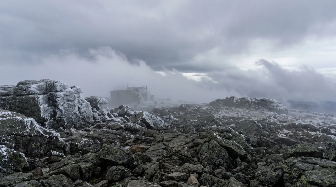
Mount Washington is the highest peak in the Northeast and it has the most famous bad weather on the continent. On 12 April 1934 the Mount Washington Observatory recorded a surface gust of 231 mph — a world record at the time, and still the fastest wind speed ever recorded by a staffed weather station, and the strongest surface wind ever directly observed by a human being. (A higher speed was later measured by an automated station during Tropical Cyclone Olivia at Barrow Island, Australia, on 10 April 1996.) The mountain sits where three major storm tracks converge, and it is in cloud much of the year. There are three ways up. Which one you take should be decided by the forecast, not by the plan you made in the car park.
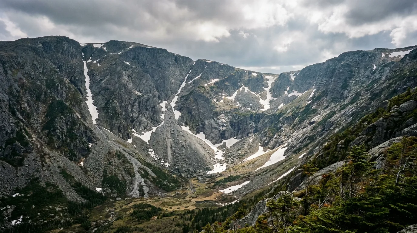
From the AMC Pinkham Notch Visitor Center on NH-16. The Tuckerman Ravine Trail runs roughly 2.5 miles up into the glacial cirque, with the Hermit Lake shelters partway; the Lion Head Trail is the other common route to the summit. Free to hike — you pay for parking (§02), not the mountain. Pinkham Notch is also where you get a real answer about whether to go up today: the Trails Information Desk is 603-466-2721.
Avalanche terrain November–May. Check the Mount Washington Avalanche Center forecast the morning of every trip — it is the Northeast's only dedicated avalanche forecast and it covers Tuckerman and Huntington Ravines. No overnight camping or parking at the summit.
7.6 miles, average grade 12%, no guardrails. Base is on NH-16 in Pinkham Notch (Gorham NH; 603-466-3988). Roughly 30 minutes up, 30–45 down. 2026 rates: car + driver $36; each additional adult $36; children 4–12 $15. A 2-hour guided tour runs from $59 adult / $35 child 4–12 / $10 ages 0–3 — that's the answer if your rig is banned or your nerves aren't in it.
No trailers, RVs or motorhomes. No duallies, mopeds, scooters or bicycles. Closed to private vehicles in winter; the SnowCoach runs December–March. Reconfirm rates on mt-washington.com before you budget.
Base at 3168 Base Station Road, Mount Washington, NH 03589 (the Bretton Woods side, off US-302). Free parking; 603-278-5404. Three trip options: Summit; Skyline (turnaround ~5,600 ft); and Waumbek (turnaround ~3,800 ft, flat rate $57 adult / $43 child). About a 3-hour round trip on the biodiesel summit schedule, and it runs year-round — winter trips turn at Waumbek. Under-4s ride free on a ticketed adult's lap.
Cancellation fee $15/ticket if more than 15 days out; no refunds for weather delays; move fee $15/ticket ($5 Waumbek). The exact adult summit fare is not printed on the tickets landing page — check thecog.com/tickets rather than trusting a quoted number.

The Sherman Adams building (dedicated 1980) holds the visitor centre, cafeteria, restrooms, gift shops and the Mount Washington Observatory. The Extreme Mount Washington museum covers rime ice, a snowcat simulator and life in the alpine zone — $2 for adults and kids 7+, under 6 free, and included with an Auto Road ticket. Open roughly mid-May to mid-October, 9am–5pm, when the building is open.
Tip Top House (1853) is the oldest surviving summit building — NH State Parks, free to enter. The Observatory's guided weather-station tours run through the week, timed to train schedules; reserve via mountwashington.org.
There is no lodging at the summit and no overnight camping or parking there. The summit is a place you leave.
| Auto Road 2026 season | Hours — last time a car may START up |
|---|---|
| Apr 25 – May 22 | Weekends, 9am–4pm |
| May 23 – Jun 12 | 9am–5pm |
| Jun 13 – Aug 23 | 9am–6pm — the longest hours of the year |
| Aug 24 – Sep 27 | 9am–5pm |
| Sep 28 – Oct 18 | 9am–4:30pm — peak foliage, shrinking daylight |
| Oct 19 – Nov 1 | 9am–4pm |
| Winter | Closed to private vehicles. The SnowCoach runs December–March |
All vehicles must leave the summit within 45 minutes of closing time. Season dates and hours are the 2026 schedule as published — reconfirm at mt-washington.com before you drive north for a specific date.
The road's own guidance: descend in the lowest gear ("1", "L" or "L1") for engine braking; pump the pedal rather than riding it — pumping keeps the brakes cooler than steady pressure; and use the turnouts to let the brakes cool if they start to smell or fade. And the road's own warning about the weight limits: if you are overweight on the descent, the weight is too much for the transmission to hold back — i.e. you will cook your brakes. Brake fade on a 12% grade with no guardrail is exactly as bad as it sounds.
The Whites reward effort on a steep curve. The Franconia Ridge Loop is the marquee day — and its ~1.7 miles of fully exposed above-treeline ridge have no shelter at all, which is the fact that should decide whether you start. But some of the region's best views cost an hour: Artist's Bluff and Mount Willard are the two best effort-to-view ratios in New Hampshire. Distances below are the figures we could confirm; where a source disagreed with another we say so rather than pick.
~8.6–9 miles, ~3,900 ft of gain. AMC book time ~8 hours; fit hikers 5–6. Trailhead is Lafayette Place on I-93 in Franconia Notch State Park. Up the Falling Waters Trail past Stairs Falls and Cloudland Falls to Little Haystack, along the Franconia Ridge Trail over Mt Lincoln to Mt Lafayette, down the Greenleaf Trail past Greenleaf Hut, then the Old Bridle Path back. On a clear day it is the best walk in the eastern United States.
~1.7 miles of fully exposed above-treeline ridge with no shelter at all. Do not commit to the traverse in thunderstorm or high wind. Bail-outs: from Lafayette, straight down Greenleaf to the hut; from Little Haystack, reverse down Falling Waters. The bigger Lafayette Place lot is on the northbound side and parking southbound is limited — it fills by ~6:30am on summer and October weekends.
~1.5-mile loop on the Bald Mountain–Artists Bluff Path, parking at Echo Lake Beach in Franconia Notch State Park. A steep start, the summit of Bald Mountain, then the Artist's Bluff ledge viewpoint over Echo Lake and the notch, returning on the Loop Trail. This is the big-view-for-small-effort hike of the region — and the sunrise foliage photograph.
The Echo Lake lot fills at sunrise in October. With the Cannon tram out of service for 2026 (§00), this is also the realistic substitute for a summit view without a full hike.
Short and moderate out-and-back to a cliff-top ledge staring straight down the U of Crawford Notch — the single best effort-to-view ratio in the Whites and a foliage classic. Trailhead at the Crawford Depot / AMC Highland Center on US-302. Free, and the parking at Crawford Depot fills early.
Exact mileage and gain UNVERIFIED — commonly cited at around 3.2 miles round trip, but confirm against AMC's White Mountain Guide rather than trusting our number. Cliff-top ledge with a real drop — mind children and footing.
The glacial cirque on Mount Washington's east face, above Pinkham Notch — roughly 2.5 miles up the Tuckerman Ravine Trail from the Pinkham Notch Visitor Center, with the Hermit Lake shelters partway. It is the classic spring ski descent and a main hiking route to the summit. Turning at Hermit Lake or the floor of the ravine is a good day out on its own — and it is the correct call more often than people admit.
Avalanche terrain November–May. Every party must check the Mount Washington Avalanche Center forecast the morning of the trip (mountwashingtonavalanchecenter.org) — it is the Northeast's only dedicated avalanche forecast and covers Tuckerman and Huntington Ravines.
Uphill from Lafayette Place to a small alpine pond at 2,775 ft with the Franconia Ridge reflected in it. Lonesome Lake is the lowest and most family-friendly of the AMC's eight high huts — a realistic first hut-night for kids, and the softer alternative on a day the ridge is off. Hiking is free; hut stays are reserved through AMC on 603-466-2727.
Full-service hut season runs roughly early June to mid-September, and to mid-October at some huts; three huts stay open the rest of the year as self-service (kitchen available, no meals) and Lonesome Lake is one of them. Book early — the popular huts sell out months ahead.

This is the trade the Whites make better than almost anywhere: a ~1.5-mile loop from the Echo Lake Beach lot buys you the Artist's Bluff ledge over Echo Lake and the whole sweep of Franconia Notch. Steep at the start, over quickly, and the single most photographed sunrise in New Hampshire in October.
It matters more than usual in 2026. With Cannon's tram out of service (§00), this and Mount Willard over in Crawford Notch are the two realistic ways to stand above a notch without committing to a full mountain day — and both are the right call on a marginal-weather morning when the ridge is off the table (§06, §10).
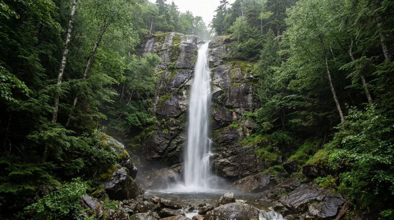
This is the part of the Whites that saves a family trip, rescues a bad-weather day, and gives non-hikers a real reason to be here. Several are wheelchair-accessible; most are under a mile; nearly all of them are $5 per vehicle at a WMNF day-use site, which your annual pass or America the Beautiful pass already covers. The state-park sites (Flume Gorge, Crawford Notch, Mount Washington State Park) charge separately.

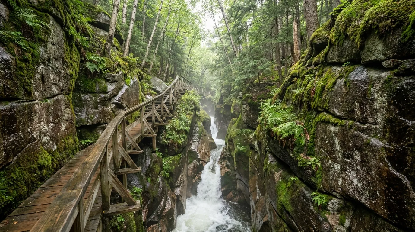
Franconia Notch State Park, 852 Daniel Webster Hwy, Lincoln (park office 603-745-8391). A 2-mile loop, about 1.5 hours, mostly packed gravel with boardwalk sections and moderate uphill and stairs inside the gorge. Conway granite walls 70–90 ft high, Avalanche Falls (45 ft), a covered bridge over the Pemigewasset, the Wolf Den rock crawl, and The Pool under 130-ft cliffs.
Buy timed tickets online in advance — you save $3 per ticket and the slots sell out. May–Oct: adult 13+ $18 online / $21 gate; child 6–12 $16 online / $19 gate; under 5 free. Visitor centre season 8 May – 25 Oct, with extended hours 9am–5:30pm from 3 July to 7 Sept. Off-season the gorge is open but unsupervised.
| Stop | Where | Walk | Fee |
|---|---|---|---|
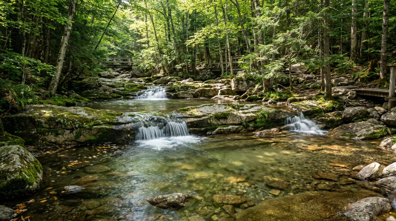
| Diana's Baths | Off West Side Rd, Bartlett / North Conway | 0.6 mi up the Moat Mountain Trail. ADA-accessible — improved gravel ~6 ft wide, gentle uphill. A staircase of cascades and pools on Lucy Brook | $5 per vehicle (WMNF) |
| Sabbaday Falls | Kancamagus Hwy (NH-112), Waterville Valley side | 0.4 mi from the Sabbaday Falls Picnic Ground — first 0.3 mi is ~5 ft wide crushed gravel, wheelchair-accessible but steep in places (6–25% grades) with level rest spots. Cascades dropping through a narrow flume | $5 per vehicle (WMNF) |
| Glen Ellis Falls | NH-16, Pinkham Notch, just S of the AMC visitor centre | 64-ft slanted waterfall with two viewing platforms. A 0.3-mi walk — short but with multiple staircases, through a tunnel under the highway then a stone path beside the Ellis River | $5 per vehicle (WMNF) |
| Arethusa Falls | Crawford Notch State Park, US-302 | ~3 mi round trip, moderate, 1–2 hours. Add the Bemis Brook Trail variant for Fawn Pool and Coliseum Falls, or loop it with Frankenstein Cliff | Free trailhead lot off US-302 (small) |
| The Basin | Franconia Notch Parkway (I-93), between Flume Gorge and Lafayette Place | A glacial pothole ~20 ft across scoured into granite by the Pemigewasset. Short paved walk from the parkway lot — the easiest genuine wow-stop in the notch. Connects on foot to the Basin–Cascades Trail | Free parking off the parkway |
| Rocky Gorge Scenic Area | Kancamagus Hwy, east end | Footbridge and a short loop to Falls Pond. Swimming is not permitted here | Several Kanc developed sites are $5/vehicle WMNF fee sites |
| Lower Falls | Kancamagus Hwy, east end, on the Swift River | A very popular swim and picnic stop — this is the Kanc's swimming hole | WMNF fee site |
| Albany Covered Bridge | Kancamagus Hwy, ~6 mi west of Conway | The only covered bridge on the Kanc, over the boulder-strewn Swift River. The Russell-Colbath Historic Homestead is nearby | Free / adjacent fee sites |
| The Kanc overlooks | NH-112, around Kancamagus Pass | West to east: Hancock Overlook, Pemigewasset Overlook, C.L. Graham Wangan Overlook (2,855 ft) and Sugar Hill Scenic Vista — the four big pull-offs spread over roughly 7 miles | The overlooks themselves are free pull-offs |
Blanket note on fees: WMNF day-use and trailhead sites charge $5 per vehicle — verified at Diana's Baths, Sabbaday Falls Picnic Ground and Glen Ellis Falls — and that is covered by the WMNF annual ($30) / household ($40) pass or an America the Beautiful pass. NH State Park sites (Flume Gorge, Crawford Notch, Mount Washington State Park) charge separately. Confirm current fees at the source before you budget.
Most of what you need to get right here is not exotic. It's layers, a forecast, a turn-around time, a parking pass, a bear canister if you're sleeping in the Pemi, and the judgment to walk away from a brook crossing. None of it is hard. All of it has to be decided before you're standing in the wind at 5,000 feet with a decision to make.
Hypothermia is the number one killer here — including in summer. People die on this mountain most years, and the classic pattern is not a fall: it is a hiker in cotton, above treeline, in wind-driven rain at 40°F, moving too slowly to generate heat and too far from shelter.
Carry regardless of the valley forecast: a hard shell and an insulating layer, hat and gloves in July, a headlamp, real food, a map and compass (phones die in the cold and there is no signal), and enough water.
We will not print an annual death count or a cumulative fatality total — that figure is unverified and we won't invent authority we don't have. The pattern above is the verified part, and it's the part that matters.
The Whites have unbridged brook crossings on many popular trails — the Wild River, Dry River and Pemi drainages especially. After heavy rain or during spring melt these go from ankle-deep to impassable, and hikers have drowned attempting them.
If it looks marginal, it is. Turn back or find a different route — and remember that a crossing you made this morning may be uncrossable on the way out after an afternoon of rain.
Blacklegged (deer) ticks are established in New Hampshire and Lyme disease is a real risk — strongest at lower elevations and in the leafy, brushy edges rather than up on the ridges. Permethrin-treated clothing, tucked layers, and a full tick check every night in camp.
County-level incidence figures are unverified here — cite NH DHHS if you want numbers.
A recreation pass is required at 32 of the forest's 289 developed sites — but those 32 include the headline trailheads. Annual $30 / household $40; daily via self-registration envelope at the lot or online at Recreation.gov. America the Beautiful passes accepted.
Illegally parked vehicles can be ticketed and towed, and on peak foliage weekends this is actively enforced in Franconia Notch and along the Kanc. If the lot is full, do not invent a spot — go to the next trailhead.
Here is the single most useful sentence about camping in the Whites: most WMNF campgrounds have vault toilets and hand-pump water only — no showers, no hookups, no dump station. There are exactly two exceptions with showers (Dolly Copp and Jigger Johnson) and one with electric hookups (Dolly Copp). If you want a hot shower, either book one of those or book a state park. The WMNF grounds are run for the Forest Service by a concessionaire, Vista Recreation (vista-rec.com), which splits its 22 White Mountain locations into Recreation.gov-reservable and first-come, first-served.
| Campground | Nearest town / road | Sites | Fee/night | Notes |
|---|---|---|---|---|
| Dolly Copp | Gorham (NH-16, ~6 mi S of Gorham) | 168 | $30; electric-hookup sites $30 + $14; extra vehicle $6 | The largest campground in the WMNF, and the only one with electric hookups. Coin-op showers, flush toilets, water spigots, some 30/50-amp sites. Season mid-May to mid-Oct. Interagency Senior/Access pass = 50% off the site fee (not the hookup fee) |
| Barnes Field | Gorham (adjacent to Dolly Copp, NH-16) | 11 | UNVERIFIED — group/organized sites | Group camping area; winter camping here is first-come, first-served |
| Russell Pond | North Woodstock | 65 | $30 | Pond — swimming and paddling. Reservable |
| Campton | Thornton (near I-93 exit 28) | 55 | $30 | The easiest WMNF campground to reach off I-93. 30 accessible sites |
| Hancock | Lincoln (Kancamagus Hwy, ~5 mi E of Lincoln) | 54–56 (sources vary) | UNVERIFIED, ~$30 | Now reservable via Recreation.gov per Vista Recreation — older sources still say first-come. Historically the one WMNF campground open year-round; verify winter status. Swift River swimming hole |
| Covered Bridge | Conway (Dugway Rd off the Kanc, E end) | 29 (older sources say 49) | $30 | Two loops. Accessible vault toilets + hand pump only — no showers, no dump station. Max stay 14 nights; 2-night min on weekends, 3-night on holiday weekends; reservation cutoff 5 days out; $10 Recreation.gov refund fee |
| Big Rock | Lincoln (Kancamagus Hwy) | 27–28 | $30 | Listed as both reservable and first-come, first-served. Hand-pump water, vault toilets. Seasonal |
| Waterville | Waterville Valley | 25 | $24 | Reservable, site-specific. Primitive |
| Osceola Vista | Waterville Valley | 12 | $50 | Group campground (Vista lists it as "Osceola Vista Group") |
| Sugarloaf 1 | Bretton Woods (Zealand Rd area, US-302) | 17 | $24 | Primitive — hand pump, vault toilets |
| Sugarloaf 2 | Bretton Woods | 20 | $24 | Primitive |
| White Ledge | Conway (NH-16 S of Conway) | 17 | $30 | Reservable |
| Basin | Center Conway (Evans Notch area, near Basin Pond) | 13 | $30 | Boat launch (non-motorised only), fishing, hiking. 9 accessible sites |
| Cold River | Center Conway (Evans Notch, NH-113) | 8 | $24 | Small, primitive |
| Hastings | Bethel, Maine (Evans Notch, ME-113) | 14 | $24 | The WMNF's Maine-side campground |
| Campground | Location | Sites | Notes |
|---|---|---|---|
| Jigger Johnson | Kancamagus Hwy, Albany/Bartlett | 73–75 (sources vary) | The only campground on the Kancamagus with coin-operated showers (accessible), plus flush toilets, water spigots and bear-resistant dumpsters. Saturday-night interpretive programs. Named for a north-country logging boss. Seasonal |
| Passaconaway | Kancamagus Hwy, near the Albany Covered Bridge / Russell-Colbath house | 33 | Primitive — hand pumps for water, vault toilets. Seasonal |
| Blackberry Crossing | Kancamagus Hwy, E end (Albany, opposite Covered Bridge Rd) | 26 | Built on a 1930s CCC camp site — there is a self-guided tour of the old camp within the campground. Hand-pump water. Historically open year-round (winter is walk-in/primitive) |
| Zealand | Zealand Rd / US-302, Twin Mountain–Bretton Woods | 11 | Tiny and rustic, on the Ammonoosuc River where Zealand Rd branches toward the Zealand Falls Hut trailheads. Open mid-May to mid-Oct; 14-night max |
| Wildwood | NH-112 west, Woodsville/Benton (the west end of NH-112, not the Kanc) | 25 | $24/night. Vista lists it as no-online-reservation; one Recreation.gov field says "first-come, first-served with confirmation required" — treat as FCFS and call ahead (nuance unverified) |
| Wild River | Wild River Rd, Gorham / Evans Notch area | UNVERIFIED | Remote, gravel-road access. Non-reservable |
| Tripoli Road | Tripoli Rd, Woodstock–Waterville Valley | Dispersed / roadside sites | Vista lists it as a no-reservation facility — the classic roadside/dispersed corridor. A permit or fee may apply and the road is seasonal (closed in winter) — confirm current-year status with the Forest Service |

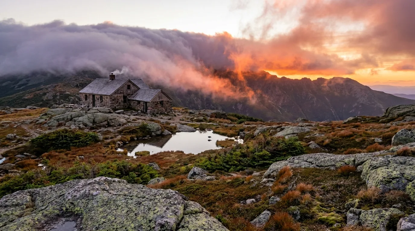
The Appalachian Mountain Club's eight high huts string across the range from Lonesome Lake (2,775 ft) to Lakes of the Clouds (5,014 ft), serving meals to booked hikers through the summer — a European hut system dropped into the American Northeast, running since long before anybody called it that.
Full-service season runs roughly early June to mid-September, and to mid-October at some huts (breakfast and dinner served to overnight guests with reservations). Three huts stay open the rest of the year as self-service — kitchen available, no meals.
Reservations: 603-466-2727. Trails Information Desk: 603-466-2721. Book early — the popular huts sell out months ahead.
| Campground | Park / location | Sites | Fee | Season & services |
|---|---|---|---|---|
| Lafayette Place | Franconia Notch State Park (I-93 / the parkway, southbound access) | 97 wooded tent sites (88 reservable, 7 first-come, 1 youth-group) | $35/night | Reservable mid-May – Columbus Day weekend; grounds stay open year-round but no services mid-Oct to mid-May. Flush toilets, coin-op showers, camp store, picnic tables, fireplaces. No hookups. Online reservation required in season — no walk-ins for the reservable sites. The Franconia Ridge and Lonesome Lake trailheads are right here |
| Dry River | Crawford Notch State Park, Harts Location (1464 US-302) | 36 wooded sites | $35/night ($35–40 range cited) + $7 non-refundable online reservation fee | Late May – mid-Oct; the 2026 season was listed as running through Sun 11 Oct 2026. Flush toilets and showers. No hookups. Reserve up to 11 months ahead, minimum 1 day ahead. Pets allowed, leashed. Arethusa Falls, Silver Cascade and the Willey House (9am–5pm in season) are in the park |
| Moose Brook State Park | 30 Jimtown Rd, Gorham | 59 sites | UNVERIFIED — check reserveamerica | Reservable Memorial Day weekend – Columbus Day weekend. Flush toilets, coin-op showers, camp store. Mix of wooded/open sites, some Adirondack-style shelters, some RV-capable. Walk-ins accepted first-come alongside reservations. Fishing on the Peabody and Moose rivers; on-site trails good for mountain biking. The best base for Mount Washington's north side and Pinkham Notch |
NH State Park campgrounds are reserved at newhampshirestateparks.reserveamerica.com. WMNF reservable sites are on Recreation.gov; FCFS sites are not bookable at all. Fees, site counts and season dates marked unverified above should be checked at the source before you rely on them.
Designated backcountry tentsites and shelters also exist — e.g. Osgood Tentsite (5 platforms, Randolph), Unknown Pond Tentsite (6 spaces), Rattle River Shelter (3 designated sites) — all non-reservable, first-come.
The Mount Washington Valley has one of the deepest concentrations of climbing schools, guide services and gear shops in the eastern United States, and North Conway is the centre of it. If you arrive under-equipped for the alpine zone — and people do — this is where you fix it, including renting boots, crampons and an ice axe rather than buying them. Everything below is a real, currently-trading business whose own website we resolved; seasons, hours and prices change, so we link rather than quote, and we quote no operator pricing at all.
Checked and deliberately NOT included: Libby's Bistro, Gorham is listed as closed on at least one directory — verify before you drive there. Red Jersey Cyclery now trades as Great American Ski & Bike; same site.
The Whites have one marquee season and one honest trade-off. The marquee is the foliage, end of September into the second week of October — short, spectacular, and mobbed. The trade-off is the black flies, which own mid-May to late June. Come in June and you get the waterfalls at full volume, empty campgrounds, and flies. Come in October and you get the colour and a traffic jam. Come prepared for the summit either way — above treeline it is never really summer.
Five workable shapes, not the only ones. Note what they have in common: each one names the weather decision and the softer alternative, because in this range the plan you drove up with is not always the plan you should walk. Adjust freely — but fuel before the Kanc, book what can be booked, and read the summit forecast the morning of.
Run it before you leave. Tap each item as it's done — these are the ten things specific to the White Mountains that a general road-trip habit will skip. Most come back to one fact: the weather above treeline is more serious than the elevation suggests, and almost everything else is a pass, a tank of fuel, or a shower you're not going to get.
Every guide has these; most don't print them. The Whites shift year to year — fees change, roads gate on different dates, closures appear mid-season — so some numbers here are reported rather than certain, and we've flagged them in place. Everything below was compiled 24 July 2026 and should be re-checked against the linked official source before you rely on it.
Everything above, condensed into a print-ready PDF built for the glovebox — for a range where the phone doesn't work in the notches, the summit forecast decides the day, and the campground has no shower. Mount Washington's weather and the turn-around rule, the Auto Road's full restriction and brake-management list, the Cog and the summit, the WMNF parking pass, the Kancamagus with no services, the Franconia Ridge and its exposed mile, every WMNF and state-park campground with honest fees, the waterfalls and accessible walks, the AMC huts, the black-fly calendar told straight, the 2026 closures, and the honest list of what nobody could confirm — on paper that works where the bars don't.
Every Trekkr Trail Journal is built like this one: custom logistics, honest trail beta, the camping and access detail, and the local knowledge that turns a good trip into the one your crew talks about for years — including, always, a plain list of what we could not confirm. New destinations drop all season long, from the White Mountains to the Canadian Shield to the Desert Southwest.
Unlock the Trail Journal Library