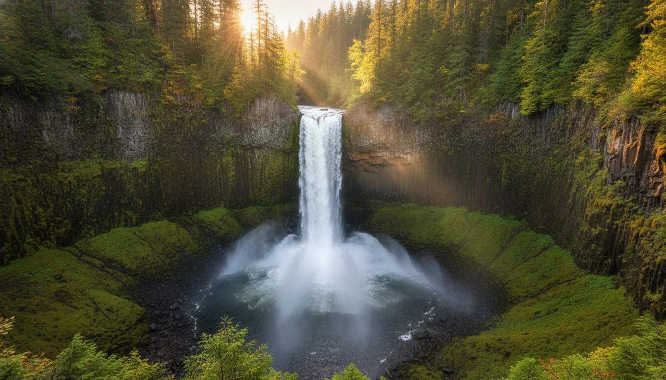
A vast glaciated valley of waterfalls and forest under evening light, the Clearwater Valley in Wells Gray Provincial Park, illustrative render in the series style
Trekkr Trail Journal · No. 020 · Wells Gray

Wells GrayThe Clearwater Valley, British Columbia — The Complete Field Guide

Wells Gray is the waterfall park, and the road that reaches its heart is 71 kilometres long — 43 paved, then 28 of gravel to Clearwater Lake, with no fuel and no cell signal anywhere inside it. The upper road closes for half the year while Helmcken Falls stays open all winter. This issue is about getting the road, the season and the honest numbers right before you turn off Highway 5.

British Columbia · Canada Clearwater · Hwy 5 (Yellowhead) Wells Gray Park Road The waterfall park · 40+ named falls
71 kmWells Gray Park Road — 43 paved, 28 gravel
0Fuel stations or cell coverage inside the park
Mid-May–OctCore road season — Helmcken open year-round
5BC Parks campgrounds — none with hookups
Conditions verified 18 July 2026 · The trail report is a living document · This block goes stale — the links don't

A disputed canoe route, bridges washed out, and a road that closes for half the year

The rest of this journal is evergreen; this box is not. Everything below is dated to the day we checked it, and the most perishable items in Wells Gray — the Murtle Lake access, the trail bridge-outs, the seasonal gate and the 2026 fees — change faster than any printed guide. The single most useful thing here is the source: BC Parks maintains a dated Wells Gray Trails and Roads Status report with per-row dates, and it is the live truth. Trust it over our date stamp.

  • Murtle Lake access is DISPUTED — re-check before you drive to Blue River (checked 18 Jul 2026)The BC Parks trail report (dated 6/5/2026) says "Murtle Lake Road — CLOSED. Road was washed out and Murtle Lake is inaccessible at this point. Crews are working on the repairs." But wellsgray.ca's Current Travel Info page states "Murtle Lake access has been restored" and points to murtlecanoes.com. These two sources directly contradict each other. Murtle is the largest canoe-only lake in North America and it is reached from Blue River, not the Corridor — a wasted trip is hours. Do not treat it as open or closed without re-checking both the trail report and murtlecanoes.com/update. Full account in §07.
  • Bridges out and trails closed on the Clearwater River (trail report)As of the report: the Spahats Creek footbridge is out due to washout, so the Clearwater River Trail (Triple Decker to Spahats) is CLOSED — you cannot cross to the north side; high water, use extreme caution. The Clearwater River (First Canyon to Third Canyon) is CLOSED — bridges out, and the Clearwater River Trail (North) is closed and floods. Separately, the Trout & Hemp Creek horse bridges are washed out, affecting the Flatiron/Hemp Creek routes. These will change through the season — re-pull the report.
  • The upper Corridor road is a seasonal gateThe road is plowed and maintained to Helmcken Falls year-round, but from Helmcken onward to Clearwater Lake it is closed roughly mid-December to mid-May and re-opens for full park access mid-May to end of October. Anyone chasing Clearwater/Azure, Bailey's Chute or Green Mountain outside that window is stopped at Helmcken. State the season, not a hard date — it is weather-driven. Details in §03.
  • Fees jumped for 2026, and there is a new $20 non-resident surchargeBC Parks camping fees rose for 2026, and a $20 non-resident surcharge — per STAY, not per night — now applies to non-BC residents on stays beginning on or after May 15, 2026. Peak frontcountry (Clearwater Lake/Falls Creek) runs $33.50/party/night June 15 – Sep 7. These reset annually; §09 has the table, and camping.bcparks.ca is the live source.
  • Several access roads want a 4x4 with high clearanceThe trail report flags Stillwater Road, Green Mountain Road and the Smith Lake / Bee Farm trails (via Stillwater) as needing 4x4 high clearance, and the Trophy Mountain access road may still be muddy and snowy in sections. Do not send a loaded rig or a low car up these. Confirm on the report before you commit a vehicle.
  • New viewing platforms — good news, but "new" won't lastBoth the Spahats Falls and Helmcken Falls viewing platforms have been rebuilt/completed and are open (wellsgray.ca, 2025–26). Verify the still-current wording before printing "new," because that framing rots within a year.
Live sources · BC Parks — Wells Gray · Wells Gray Trails & Roads Status (live) · wellsgray.ca — Current Travel Info · murtlecanoes.com/update · camping.bcparks.ca
Park information line (not a business) 1-250-674-3334 · reservations & changes by phone 1-800-689-9025 ($5 fee) · report a problem bear or a poacher (RAPP) 1-877-952-7277 · in an emergency, 911. This box was true at press and will not stay true — the sources above are the truth on the day you travel.
01 / START HERE

One valley, one road in

Wells Gray Provincial Park is reached by the Clearwater Valley Road — the "Wells Gray Park Road" — which leaves Highway 5, the Yellowhead, at the town of Clearwater, BC. From the highway junction it runs 71 kilometres north to the Clearwater Lake boat launch: 43 kilometres paved, then roughly 28 kilometres of gravel, on BC Parks' own figures. That single sentence shapes almost everything in this issue. There is no fuel, no food and no cell reception anywhere in the park. The pavement ends around the Helmcken Falls turnoff, and the last 28 km — graded but still gravel — is what limits big rigs, worries rental-RV companies, and separates the year-round waterfalls from the seasonal lake country at the top.

This is a park you plan around constraints, not a wish list: the seasonal gate that closes the upper road for half the year, the absence of services, and a handful of live source conflicts we would rather hand you straight than paper over. Helmcken Falls' height is given as 141 m by wellsgray.ca and 145 m by BC Parks; Murtle Lake is called inaccessible by the trail report and restored by tourism; the exact reservable split at Clearwater Lake shifts year to year. Where our sources disagreed, contradicted each other or simply went silent, this guide says so out loud and prints no false precision. §18 consolidates every instance.

How to use this journal Read §02 and §03 first — the road and the seasonal gate decide what your trip can even include. Then go where your trip lives. Chasing waterfalls? §04 and §05. Hiking the alpine? §06. Paddling the big lakes? §07. Camping? §08 through §10. Everywhere in this issue, live numbers — reservable loops, fees, trail statuses, the Murtle question — point at camping.bcparks.ca and the BC Parks trail report rather than being frozen here, because those are the things that move.
The land, named first Wells Gray lies within the traditional territory of Interior Salish peoples of the North Thompson. This guide keeps to what the land managers publish and does not paraphrase oral history or invent cultural detail. Where BC Parks and wellsgray.ca are our sources, they are named; where a fact is secondary or contested, it is flagged. That discipline is the whole point of the series.
02 / THE ROAD

Seventy-one kilometres, and where the pavement ends

BC Parks states it exactly: from Hwy 5 at Clearwater, drive north on the Wells Gray Park Road for 71 km — 43 paved, 28 gravel — to the boat launch. Every distance you see elsewhere measures from a different start point. Anchor on that one, and know which section your rig can handle.

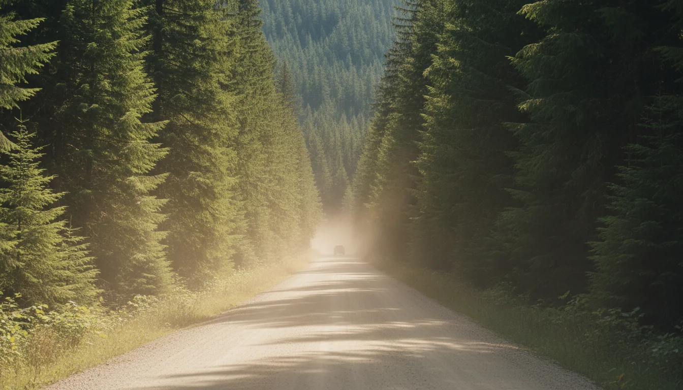
A gravel road curving through dense green forest toward distant snow-capped peaks, the Wells Gray Park Road, illustrative render in the series style
The Wells Gray Park Road. 43 km of pavement, then 28 km of gravel to Clearwater Lake — well-graded in summer, but still gravel, and the real filter on what you bring in.
The one distance figure to trust BC Parks, verbatim: "From Hwy #5 at Clearwater, drive north on the Wells Gray Park Road for 71 km (43 paved, 28 gravel) to the boat launch." The pavement runs from the Hwy 5 junction past the main sights and ends around the Helmcken Falls turnoff; the last ~28 km is gravel, from roughly that junction to the Clearwater Lake boat launch and campgrounds. Secondary sources describe the gravel as "usually good, being regularly graded during the summer" — reasonable to repeat as "well-graded summer gravel," attributed as such. Other distances you'll see — "68 km from the info centre," "65 km from the information centre," "40 km from the Hwy 5 junction," "34 km from the park entrance" — differ only because they measure from different start points. They are not contradictory; pick one origin and stick to it. Cleanest for planning: 71 km from Hwy 5 to the boat launch, 43 paved / 28 gravel.

Rigs and rentals — the honest read

Pyramid campground sits on the paved portion — the easiest ground for any vehicle. Clearwater Lake campground is reported to have paved sites able to take large RVs and motorhomes (secondary), but reaching it means driving the full 28 km gravel section: expect dust, washboard and slow going with a trailer.

🔴 The rental-RV trap: some rental companies prohibit or don't insure travel on unpaved roads. A traveller planning to reach Clearwater Lake in a rental needs to read their contract before booking — this is a real, common trip-killer. We haven't verified any specific company's terms, so confirm with your own.

BC Parks publishes no road grade percentage, switchback count or width figure for the Park Road. We state none. The safety line that does exist: "Use extra caution when driving on unpaved forest service roads with limited visibility."

Mahood and Murtle are different drives entirely

🔴 Mahood Lake is NOT reached from the Clearwater Corridor. BC Parks routes it via Hwy 24: "65 km of gravel road from the Interlakes corner on Hwy #24," or alternatively "88 km of paved and gravel roads from 100 Mile House" along Canim Lake. You cannot drive from Clearwater Lake to Mahood Lake inside the park — they sit on opposite corners. Combining them means a long highway loop.

Murtle Lake (canoe-only) is separate again — reached from Blue River, north of Clearwater on Hwy 5, via a narrow winding gravel road (BC Parks says 27 km; the trail report says 24 km) then a portage. Its access is disputed for 2026 — see §07 before you plan around it.

Mahood via Hwy 24Murtle access disputed
Roadside distances up the Corridor — wellsgray.ca's own markers wellsgray.ca posts distances "up the park road": Spahats Creek Falls at 13 km and Helmcken Falls at 46.5 km (also written "46 km ≈ 45 minutes' drive from Clearwater"). These are the tourism site's own roadside markers — we found no BC Parks distance chart to cross-check them, so treat them as approximate rather than surveyed. The trail report's "68 km one way" is to Clearwater Lake at the very top, not to Helmcken.
03 / THE SEASONAL GATE

Helmcken all year, the lake country half the year

The most important route fact after the gravel: the road is plowed to Helmcken Falls all winter, but from Helmcken onward to Clearwater Lake it closes roughly mid-December to mid-May. Which season you travel in decides what half of the park you can reach.

The gate, in the sources' own words wellsgray.ca: "The road to Wells Gray Park is open and maintained to Helmcken Falls throughout the winter." And: "The road access from Helmcken Falls to Clearwater Lake is closed in the winter and re-opens for full Park access from mid-May until the end of October." BC Parks phrases the same thing as "closed mid-December to mid-May." Because it is weather-driven, we state the season, not a hard date — verify the current status on the trail report each year.

Reachable year-round

  • Helmcken Falls — the one major sight you can reach in winter, and the frozen ice cone is a deep-winter spectacle in its own right (§04)
  • Dawson Falls — a 10-minute walk through old-growth on the Murtle River
  • Spahats Creek Falls — 13 km up the park road, an easy stroll to the viewing platform
  • Moul Falls — an easy one-hour hike (the falls themselves are seasonal to reach on foot in deep snow; check conditions)

Seasonal — roughly mid-May to October only

  • Bailey's Chute — the salmon leap, and the run lands squarely inside the open window (§05)
  • Green Mountain and Ray Farm / Alice Lake Loop
  • Clearwater & Azure Lakes — the canoe country at the top of the Corridor (§07)
  • The Trophy Mountains alpine — a separate access road with its own short snow-free season (§06)

Camping season at the frontcountry campgrounds runs roughly mid-May through September. Mahood's reservable window is stated as May 15 – Sep 4; the Clearwater Lake/Falls Creek fee tiers run to Sep 7, 2026, a good proxy for the operating season.

04 / THE WATERFALLS

The waterfall park — and an honest height conflict

Wells Gray is home to more than 40 named waterfalls; wellsgray.ca profiles sixteen. The headline four are Helmcken, Dawson, Spahats and Moul — and the most famous of them carries a source conflict on its own height that we report rather than smooth over.

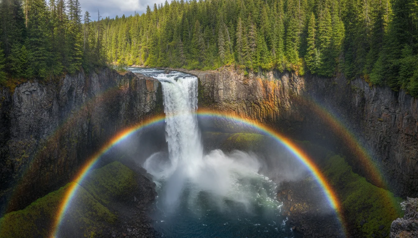
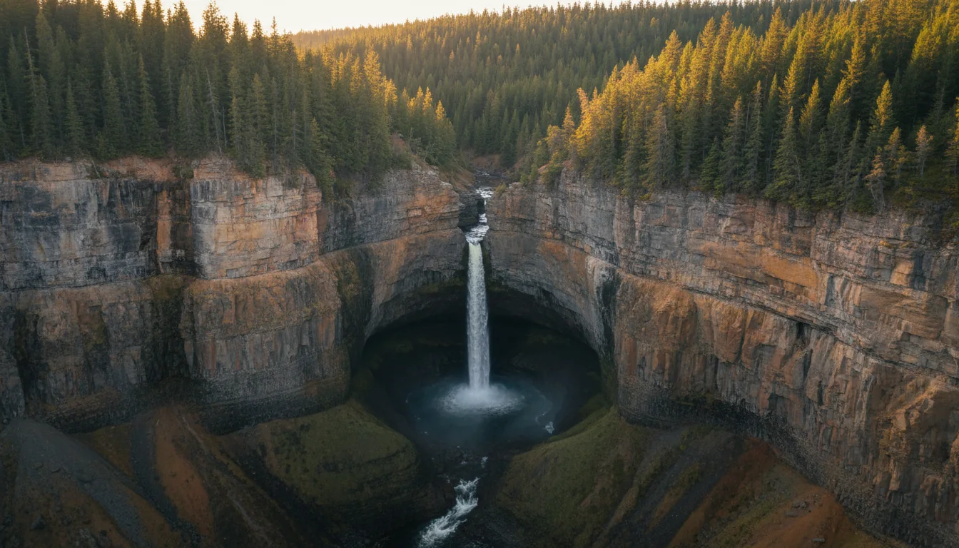
An enormous single waterfall plunging from a volcanic lip into a deep misty canyon, Helmcken Falls, illustrative render in the series style
Helmcken Falls. ~141 m over the volcanic Murtle Plateau (BC Parks says 145 m). No fence at the viewpoint — BC Parks: "be extremely careful here."
Helmcken's height: 141 m vs 145 m — we print the conflict wellsgray.ca and Wikipedia say 141 m; the BC Parks Corridor page says 145 m. We use ~141 m because it is the widely-cited figure and matches the claim that Helmcken is the fourth-tallest waterfall in Canada (behind Hunlen, Takakkaw and Della — a ranking that is itself secondary; BC Parks states no national ranking). But know BC Parks' own page disagrees by 4 m, and we are not going to pretend one source is definitive. Helmcken is roughly 46.5 km up the park road (wellsgray.ca's marker), with a short walk to the viewing platform (the trail report lists 100 m) or an 8 km-return South Rim Trail. The safety line is worth printing verbatim: at Helmcken "there is no fence and the ground can be slippery""Be extremely careful here."
FallsHeightAccessNote
Helmcken ~141 m (wellsgray.ca, Wikipedia) — ⚠️ BC Parks says 145 m ~46.5 km up park road; 100 m to platform, or 8 km-return South Rim Trail 4th-tallest in Canada (secondary ranking). Plunges over the volcanic Murtle Plateau. Open year-round
Dawson 90 m wide — a broad curtain across the Murtle River 10-minute walk through old-growth; Dawson North 1.2 km, Dawson South 500 m (trail report) Width, not height, is the headline figure. Open year-round
Spahats Creek 80 m (wellsgray.ca) — ⚠️ secondary sources vary 60–80 m 13 km up park road; "easy stroll" to a newly completed viewing platform First major stop up the road. Open year-round
Moul ⚠️ Not given by BC Parks/wellsgray — secondary says ~35 m "Easy one-hour hike"; trail report lists the Moul Falls trail as 6 km, OPEN You can walk behind the falls. We print no official height
Silvertip 168 m (wellsgray.ca) — taller than Helmcken, far less famous 2.1 km-return hike (trail report lists Silvertip 1.5 km) On wellsgray.ca's list alongside Triple Decker, Candle Creek and others

Source honesty: the "over 40 waterfalls" total is secondary — wellsgray.ca profiles 16 and BC Parks gives no total. Moul Falls' ~35 m and Spahats' 60–80 m spread are secondary/variable; wellsgray.ca gives Spahats as 80 m but no figure for Moul, so we print none for Moul. Every year-round claim above assumes the falls are reachable; in deep snow the walking access to Moul in particular should be checked against the trail report.

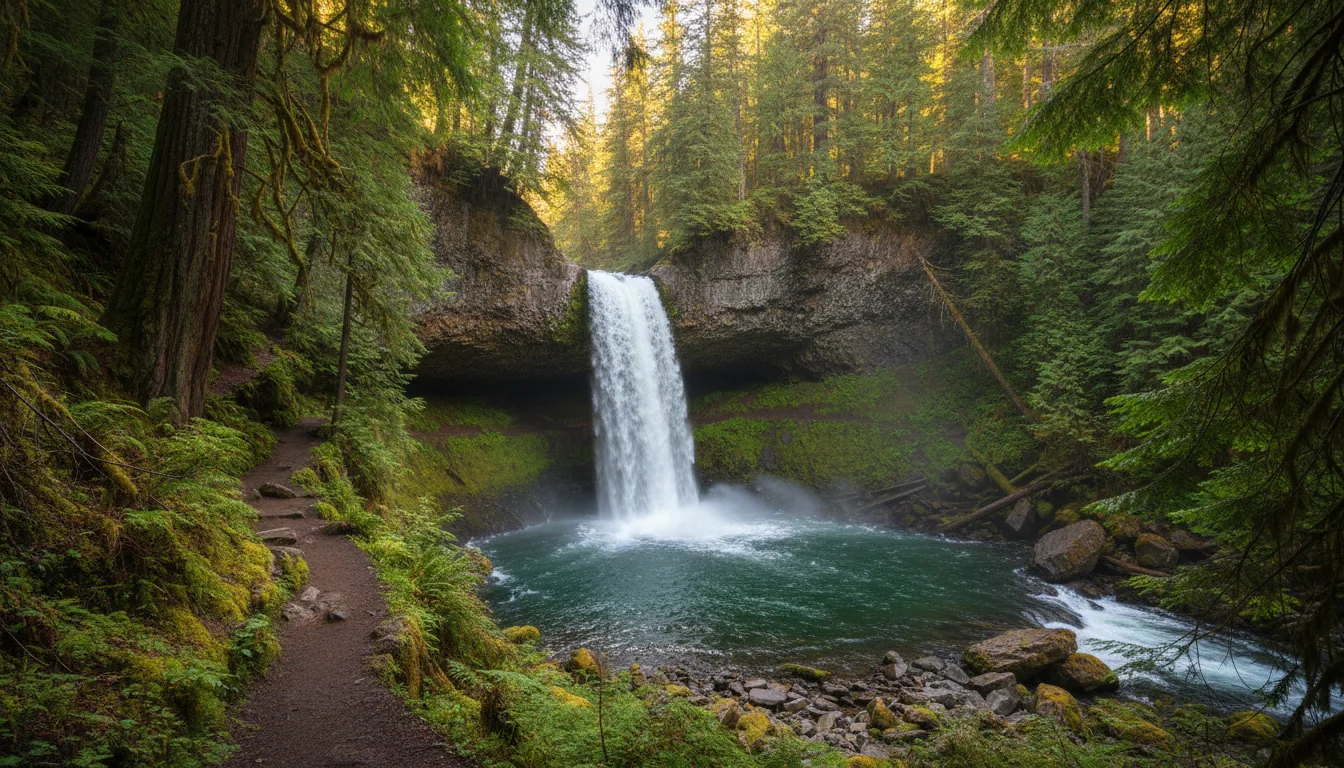
A waterfall dropping into a mossy forest bowl with a trail leading behind the curtain of water, Moul Falls, illustrative render in the series style

The winter ice cone at Helmcken

Because the road is maintained to Helmcken all winter, its ice cone is drivable to see. At the base of the falls an ice cone forms and grows throughout the winter as, in wellsgray.ca's words, "massive icicles form on the canyon wall behind." It is one of the park's signature cold-season sights.

⚠️ Do not print "50 m" as a fact. Secondary sources say the cone "grows to 50 m or taller during colder winters," but wellsgray.ca gives no number. Best viewing is typically deep winter (Jan–Feb), but we found no source stating an exact peak-cone window, so don't pin a month without checking.

Dawson Falls — the broad curtain

Dawson is not tall but 90 m wide, a broad curtain thrown right across the Murtle River, reached by a 10-minute walk through old-growth. The trail report lists the Dawson Falls North trail at 1.2 km and Dawson Falls South at 500 m, both open. With Spahats (13 km up the road) and Helmcken (46.5 km), Dawson completes the year-round roadside trio you can string together in a single day without ever leaving the pavement.

A wide curtain of water spread across a river through old-growth forest, Dawson Falls on the Murtle River, illustrative render in the series style
A tall thin waterfall dropping through a red-rock canyon slot into a forested gorge, Spahats Creek Falls, illustrative render in the series style

Spahats — the first stop up the road

At 13 km up the park road, Spahats Creek Falls is the first major sight and the easiest — an easy stroll to a newly completed viewing platform (one of the 2025–26 rebuilds). wellsgray.ca gives it as 80 m; secondary sources put it lower, at 60–80 m, on account of a lower tier. Note that the wider Clearwater River Trail from Triple Decker to Spahats is currently CLOSED (Spahats Creek footbridge washed out, §00) — that closure is about the river trail, not the roadside falls platform.

05 / BAILEY'S CHUTE

The salmon leap that never succeeds

Late every summer, massive chinook salmon hurl themselves at Bailey's Chute and fall back, over and over. It is essentially impassable to them — and that failure is exactly the spectacle. It is also reachable only when the upper road is open, and the run lands neatly inside that window.

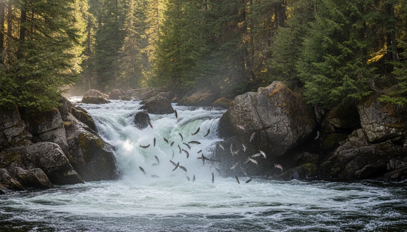
A powerful river chute over dark bedrock with salmon leaping against the current, Bailey's Chute, illustrative render in the series style
Bailey's Chute. Chinook attempt the leap late August to early September, hurl themselves at the falls and fall back — the chute is impassable, and that is the show.

The timing, in BC Parks' words

🔴 Massive chinook salmon attempt to leap the chute "late August to early September." Earlier, "late July when the water level is low," you can see the bedrock holes worn into the river. The fish repeatedly throw themselves at the falls and fall back — Bailey's Chute is essentially impassable to them. It is the spectacle, not a successful ladder.

Because it sits above the seasonal gate, it is reachable only when the upper road is open (≈ mid-May–October) — and the salmon run falls squarely inside that window, so there's no conflict for the late-summer visitor.

Which walk you're actually doing

The trail report lists the Bailey's Chute / West Lake Loop at 7.8 km, OPEN. BC Parks separately calls the Bailey's Chute walk "2 km" — very likely the direct out-and-back to the chute itself, versus the full loop.

So the honest read is: it's a ~2 km spur to see the salmon, or a 7.8 km loop if you want the full walk. Clarify which you're committing to before you set out — they are not the same day.

2 km spur / 7.8 km loopLate Aug – early Sep run
06 / ON FOOT

The trails — and the alpine that isn't on the waterfall road

Most of Wells Gray's day hikes are short waterfall walks. The exception, and the crown, is Trophy Mountain — an easily reached sub-alpine meadow that is not on the main Corridor at all, but up its own gravel logging road, with a wildflower window worth timing.

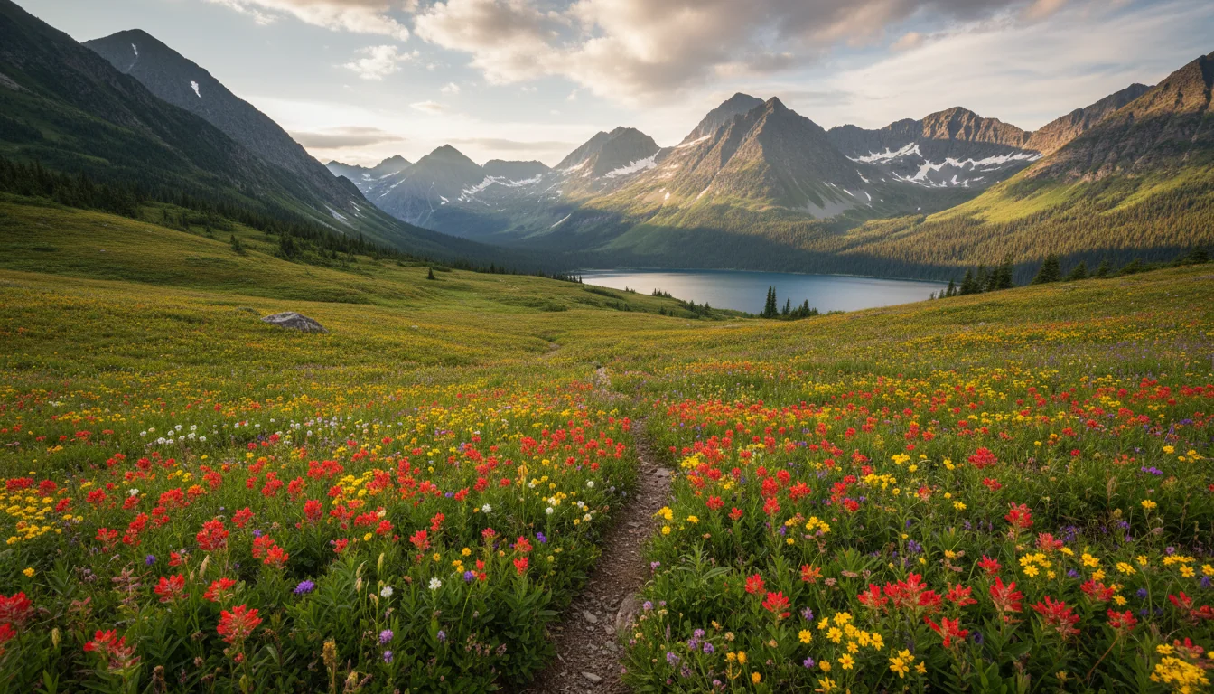
Rolling sub-alpine meadows carpeted with wildflowers below rounded peaks, the Trophy Mountains, illustrative render in the series style
Trophy Mountain. "One of the most easily accessible sub-alpine meadows in B.C." — about 1 km and 200 m of gain to the flowers, but reached up 11–15 km of gravel logging road.

Trophy Mountain — access, and a length conflict

🔴 Reached by gravel logging road, NOT off the main waterfalls route. BC Parks: accessed via "11 km of gravel logging road (Bear Creek Correctional Centre road), branching from the Clearwater Valley Road north of Clearwater." The trail report lists the same road as "Spahats Creek FSR (Trophy Mountain Rd), OPEN, 15 km one way," noting it "might be still muddy and snowy in sections."

⚠️ BC Parks says 11 km; the trail report says 15 km one way. Likely measured from different start points (branch vs. info centre). We flag it — we don't average them.

The hike itself

~1 km / ~45 minutes from the parking lot to the sub-alpine meadows, with only ~200 m of elevation gain — BC Parks calls it "one of the most easily accessible sub-alpine meadows in B.C." It continues to Sheila Lake (backcountry campground; +1.25 hrs from the meadow) and Skyline Ridge (+1 hr climbing); 12 km round trip parking-to-Skyline. The trail report lists Trophy Meadows–Sheila Lake as 10 km return, "muddy… snowy at higher elevations."

Season: "usually open from late June until early October." Above 2,500 m weather changes quickly — carry map, compass and warm layers, and note that open fires are prohibited: carry a stove.

Wildflower timing — the money question From wellsgray.ca's Trophy update: glacier lilies emerge from the receding snow late June to early July; peak variety is generally mid-July to late July; and "more than 20 species… reach peak bloom here at the start of August." But it is a short-season alpine trail, and as of mid-June 2026 the update warned of "significant snow coverage" still on the trail and alpine, with "wet and muddy conditions." Timing shifts year to year with snowmelt — the late-July/early-August window is typical, not guaranteed. Check the current bloom update before you drive up.
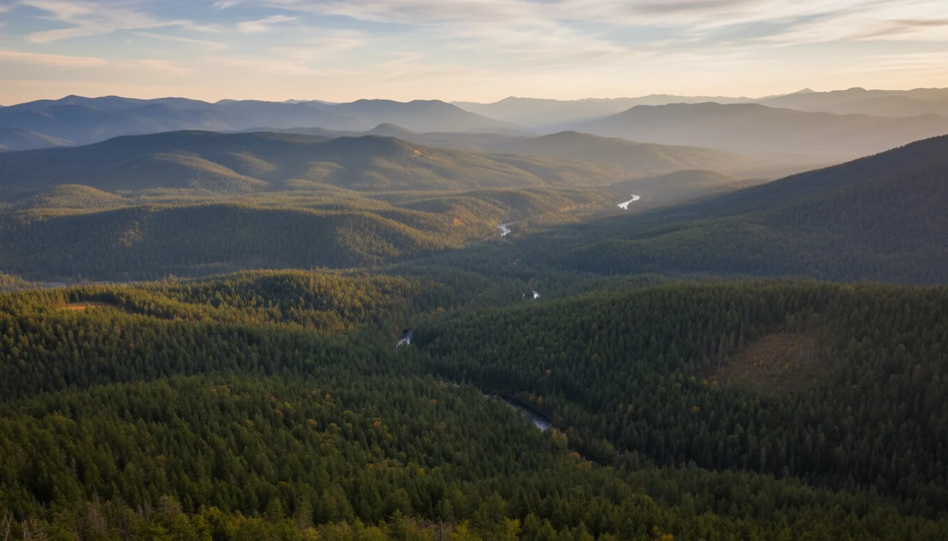
An open subalpine ridge with a viewpoint over a broad forested valley, Green Mountain lookout, illustrative render in the series style

The open-and-cleared trails (trail report, seasonal)

Beyond the waterfall walks, the report lists these as open: Ray Farm / Alice Lake Loop (4.5 km), Green Mountain Trail (5.7 km), Foot Lake (2 km), Lakeshore Trail (6 km), and the Trophy Meadows–Sheila Lake (10 km). Green Mountain is a roadside-accessible viewpoint; Ray Farm is the historic homestead loop. All of these sit above the seasonal gate, so they are mid-May-to-October objectives.

⚠️ Several access roads want a 4x4 with high clearance — Stillwater Road, Green Mountain Road, and the Smith Lake / Bee Farm trails via Stillwater Road. Don't send a loaded rig or a low car up these; confirm on the report first.

Closed or compromised in 2026 — from the official report As of the trail report (rows dated to 7/15/2026 — re-pull before you go): the Clearwater River Trail (Triple Decker to Spahats) is CLOSED (Spahats Creek footbridge out, high water); the Clearwater River (First Canyon to Third Canyon) is CLOSED (bridges out, closed at Third Canyon entrance); the Clearwater River Trail (North) is CLOSED (brushy, floods at high water); the Trout & Hemp Creek horse bridges are washed out, affecting Flatiron↔Hemp Creek and the Hemp Creek Trail. And note the separate Clearwater River Road — OPEN but "washed off at km 9," gate closed there, biking continues 29 km beyond (this is the Clearwater River Road, not the Valley Road). These statuses shift through the season.
07 / PADDLING

Clearwater, Azure — and the Murtle Lake question

Wells Gray's big-water canoe country is the reason a lot of people come. Two systems matter: the Clearwater/Azure circuit at the top of the Corridor, and the famous canoe-only Murtle Lake reached from Blue River — whose 2026 access is genuinely in dispute, and which you must re-check before you drive.

A long turquoise wilderness lake ringed by forested mountains with a canoe on still water, Clearwater Lake, illustrative render in the series style
Clearwater Lake. The launch point for a multi-day wilderness paddle — reached only when the upper road is open, at the end of 28 km of gravel.

Clearwater & Azure Lakes

Launched from the Clearwater Lake boat launch at the top of the Corridor (road open ≈ mid-May–October only, at the end of the 71 km / 43-paved-28-gravel drive). Azure requires a "strenuous upstream paddle" plus a 0.5 km portage (BC Parks) to connect from the Clearwater Lake system — the trail report lists a Portage Trail (1 km), Rainbow Falls (1 km) and Diver's Bluff (3 km), all open. These are big-water wilderness lakes — a multi-day canoe-camping route, not an afternoon paddle.

⚠️ Site counts disagree: BC Parks' marine page says "16 campsites accessible by boat from Clearwater Lake"; a detailed secondary guide breaks it down as Clearwater 8 areas / 33 tent sites and Azure 4 areas / 21 tent sites. The "16" likely counts camping areas, not tent pads. We print no single hard number — call it "roughly a dozen-plus wilderness camping areas spread along Clearwater and Azure."

How the backcountry permit works

🔴 Permits, NOT reservations — first-come. There are an unlimited number of permit registrations available, and a permit does not guarantee a specific campsite: you register and pay, you don't reserve a pad.

Register online at camping.bcparks.ca (the Wells Gray Clearwater Lake Backcountry Registration), or at the Clearwater Lake boat launch self-registration station (cash only). Fee: $5/person/night, plus the possible $20 non-resident surcharge (§09). Bear caches are provided at the wilderness sites.

First-come — no site guaranteed$5/person/night · cash at the launch
🔴 Murtle Lake — the access is disputed for 2026 Murtle Lake is "world-renowned as the largest canoe-only lake in North America" — about 100 km of shoreline, canoes and kayaks only, motorboats prohibited. It is reached not from the Corridor but from Blue River (north of Clearwater on Hwy 5), then a narrow winding gravel road (BC Parks: 27 km; trail report: 24 km one way) and a portage.

The two sources flatly contradict each other. The BC Parks trail report (dated 6/5/2026) states: "Murtle Lake Road — CLOSED. Road was washed out and Murtle Lake is inaccessible at this point. Crews are working on the repairs." But wellsgray.ca's Current Travel Info page states that "Murtle Lake access has been restored" and points to murtlecanoes.com for live availability. As of 18 July 2026 we could not resolve which is current.

Because the stakes are a wasted multi-hour drive to Blue River, do not tell anyone Murtle is open or closed without re-checking both the BC Parks trail report and murtlecanoes.com/update on the day. And note the standing BC Parks advisory regardless: a Mountain Pine Beetle infestation has left "many dead trees in the marine camping areas of Murtle Lake" — a real falling-tree hazard at shoreline campsites. When choosing a site, look carefully at the trees around you.

08 / THE CAMPGROUNDS

Five campgrounds, none with hookups

All of them are BC Parks, all are rustic frontcountry or boat-access, and not one has an electrical, water or sewer hookup. There are roughly 164 vehicle-accessible sites parkwide. For hookups you go to the private parks near Clearwater. And the live reservable splits belong at camping.bcparks.ca, not frozen on a page.

A quiet forest campsite with a tent and picnic table among tall firs in evening light, a Wells Gray campground, illustrative render in the series style
Wells Gray's beds. Rustic frontcountry — picnic table, fire ring, pit toilet or pump water. No hookups anywhere in the park.
🔴 No hookups anywhere in Wells Gray No BC Parks campground in Wells Gray has electrical, water or sewer hookups. These are rustic frontcountry sites: picnic table, fire ring, pit toilet or pump water. RVers wanting hookups must use the private parks near Clearwater (§10). Reservations run through camping.bcparks.ca (the old "Discover Camping"); phone reservations are 1-800-689-9025, with a "$5 fee for reservations, changes, or cancellations made by phone." The reservation window is widely stated as up to 4 months in advance — that's BC Parks' standard frontcountry rule, though ⚠️ we did not find it restated on the current Wells Gray page.
CampgroundSitesReservable?Facilities & access
Pyramid 50 (operational data) 🔴 First-come only — no reservations Pump water, outhouses, tables, fire rings. No showers, no sani-dump, no hookups. Paved spur off the Corridor road
Falls Creek Part of the 80-site Clearwater Lake / Falls Creek pair Reservable ⚠️ (share the split) Shares the Clearwater Lake facility cluster. On the gravel section, near the end of the Corridor road
Clearwater Lake Clearwater Lake + Falls Creek = 80 combined Partly reservable ⚠️ Sani-station, potable water, pay-per-use showers, store/café, boat launch, canoe rentals. End of the Corridor road (gravel); ~65 km from the info centre
Mahood Lake 34 frontcountry + 3 backcountry Reservable ~May 15 – Sep 4; first-come outside ⚠️ Fire pit, picnic table, sandy beach, warm (non-glacial) lake. Separate access off Hwy 24 — NOT via the Corridor
Clearwater/Azure marine Boat-access — see §07 🔴 First-come self-registration only Wilderness sites: table, fire ring, bear cache. Boat only, from the Clearwater Lake launch

Why we don't freeze the splits

Sources disagree on the fine detail, so we state totals confidently and point the rest at the live system. Pyramid: BC Parks' operational listing says 50; some secondary write-ups say 32. We use 50 and note the conflict. Clearwater Lake vs Falls Creek: the pair totals 80 (solid), but the internal split is reported as 39/41 or 40/40 — secondary only, so we don't print an exact per-campground split.

Parkwide, ~164 vehicle-accessible sites / 100+ reservable is secondary but holds together (50 + 80 + 34 = 164). Treat it as approximate, and check camping.bcparks.ca for live per-loop counts rather than any frozen number — BC Parks re-tunes reservable vs first-come loops each year.

Booking pressure & the backcountry

Because the drive in is long, secondary sources note that reservations are recommended for July and August — unsurprising, and worth heeding. Pyramid takes no reservations at all, so for a peak-summer weekend it is a roll of the dice on arrival, not a plan.

The backcountry — the Clearwater/Azure canoe circuit — is first-come, self-register, NOT reservable (§07). Permits are unlimited and don't guarantee a site. That's a different mental model from the frontcountry: you can always get a permit, but not a guaranteed pad.

09 / THE 2026 FEES

What it costs — and the new non-resident charge

BC Parks camping fees rose for 2026, and there is a new flat $20 non-resident surcharge that hits U.S. and out-of-province visitors on stays from May 15. These are the confirmed figures; the live numbers belong at camping.bcparks.ca because they reset every year.

FeeAmountNotes
Frontcountry — Clearwater Lake / Falls Creek$23 → $33.50 / party / nightPeak $33.50 = June 15 – Sep 7, 2026; shoulder $23 = mid-May – June 14
Frontcountry — Pyramid$20 / party / nightLower-service loop. ⚠️ Unclear whether it also tiers up in peak — confirm
Backcountry / marine (Clearwater/Azure)$5 / person / nightA permit, not a reserved site (§07)
Group site$20 / group site / night
Sani-station discharge$5 / discharge
🔴 Non-resident surcharge+$20 per STAY (not per night)Non-BC residents, stays beginning on or after May 15, 2026
Reservation transaction fee (online)$6 / night / site, max $18, + taxOn top of the camping fee
Reservation / change / cancel by phone$51-800-689-9025
🔴 The $20 non-resident surcharge — new for 2026 It matters directly for U.S. and out-of-province readers. It is a flat, per-stay charge — not nightly — and applies at the frontcountry campgrounds here from stays beginning May 15, 2026. The effective date is confirmed on the BC Parks fees page. ⚠️ One open item: the surcharge also applies to four named "iconic backcountry areas," and we did not confirm whether Wells Gray's Clearwater/Azure backcountry is one of them. The frontcountry applicability is certain; if you're pricing the canoe circuit, note the ambiguity and check the fees page.

The 2026 increases were reported as substantial (a large summer jump across dozens of high-use frontcountry parks). Rather than reprint the exact per-park math — which reconciles better on the BC Parks page than in any secondary summary — we give the confirmed rates above and send you to camping.bcparks.ca for the live total including transaction fees and tax.

10 / FUEL, TOWN & LOGISTICS

No fuel, no cell — fill up in Clearwater

The single most repeated logistics fact about Wells Gray is the plainest: there is no gas and no cell reception anywhere in the park. Everything you need — fuel, propane, groceries, a hospital — is in the gateway town of Clearwater, and you buy it before you turn off Highway 5.

🔴 No gas, no signal, no services inside the park wellsgray.ca, verbatim: "There is no cell reception in the park. There is also no gas service." The recommendation is equally flat: "fill-up or plug-in your vehicle in Clearwater before heading into the Park." The only commercial services in the core area are seasonal — a small store/café, canoe rentals and boat tours at Clearwater Lake. No fuel, no mechanic, no pharmacy, no cell store — nothing. Round trip from the highway to Clearwater Lake and back is ~140 km of driving, much of it climbing on gravel, so budget fuel accordingly. And the safety corollary: "Ensure that your contacts know where you are going and when you plan to return" — there is no self-rescue by phone in a dead zone.

Gateway town — Clearwater (Hwy 5)

Clearwater sits on Highway 5, the Yellowhead, between Kamloops (~1 hr 20 min south) and the Jasper/Alberta direction north. It is the last full-service town before the park. Available here: fuel (multiple stations, with propane reported at more than one), a supermarket, and a hospital, pharmacy, hardware, auto mechanics, restaurants and lodging, plus the Wells Gray Visitor Information Centre near the Hwy 5 / Clearwater Valley Road junction.

Per the series' data rules we record no specific business names, addresses or phone numbers for retailers — "fuel, propane, groceries and a hospital are all in Clearwater" is the honest, durable line. The one number worth printing is the park information line (not a business): BC Parks lists 1-250-674-3334.

If you need hookups or a dump

Because no BC Parks campground here offers hookups, the answer for anyone needing electrical, water, sewer or Wi-Fi is the private parks near Clearwater — several exist along the Clearwater Valley Road corridor and in town, reported to include a KOA and a golf-resort RV park. We haven't verified individual operators and, per the data rules, don't record their specifics — so the durable line is simply: "private parks near Clearwater offer full hookups."

Inside the park, the only sani-station is at Clearwater Lake ($5/discharge, §09). Pyramid and the boat-access sites have none.

No hookups in the parkPrivate parks near Clearwater
Cell coverage — what we will and won't claim wellsgray.ca states plainly that there is no cell reception in the park. Beyond that, we found no BC Parks statement and no carrier map we could source for the road in or the backcountry. So the defensible instruction — consistent with a park that has no fuel, no services and 28 km of gravel — is: assume no cell coverage once you leave Highway 5 / the town of Clearwater, and none anywhere in the backcountry. Carry offline maps and a satellite messenger or PLB for the canoe circuit and any backcountry. We do not publish a carrier-by-carrier claim we can't stand up.
11 / WILDLIFE

Both bears, and a deadfall warning worth heeding

Wells Gray is full bear country — black and grizzly both — with the usual North Thompson cast of large mammals. Standard protocol applies, plus one park-specific hazard at the Murtle marine sites that BC Parks calls out by name.

A moose standing in a misty lakeshore wetland at dawn with forest behind, Wells Gray wildlife, illustrative render in the series style
The wetland classic. Moose are the reliable lakeshore sighting; caribou are a sensitive mountain population — don't imply they're commonly seen.

What lives here

BC Parks lists the park's mammals as "black and grizzly bear, wolf, cougar, lynx, bobcat, wolverine, moose, deer, mountain goat, and caribou," plus smaller mammals and waterfowl. 🔴 Both black AND grizzly bear are present, so standard bear-country protocol applies throughout: food storage, bear spray, and noise. BC Parks: "Potentially dangerous animals live in this park. On trails, make noise, to prevent unexpected encounters."

Moose are the classic Wells Gray wetland and lakeshore sighting; caribou are a sensitive mountain population — we don't imply they're commonly seen. The most reliable wildlife spectacle is the salmon run at Bailey's Chute, late August to early September (§05).

⚠️ BC Parks did not, on the pages we read, give bear-activity closures for 2026. Check the trail report and park alerts before relying on any wildlife-viewing recommendation.

Bear discipline & the marine deadfall

Standard BC backcountry rules: carry bear spray, make noise, use the provided bear caches at wilderness sites, and never store food in a tent. BC Parks' marine guidance: "Be aware of signs of bear activity on any of the trails, and be prepared to take evasive action," and "Backcountry areas are not suitable for dogs or other pets due to wildlife issues and the potential for problems with bears."

🔴 The park-specific hazard: BC Parks warns that "A Mountain Pine Beetle infestation has led to many dead trees in the marine camping areas of Murtle Lake. When choosing a campsite, look carefully at the conditions of any nearby trees." Standing dead trees mean falling-limb and windthrow risk — pick your Murtle site with the trees overhead in mind.

Grizzly + black bearMurtle deadfall risk
Remote-driving & self-sufficiency Combine the wildlife with everything else this park is: BC Parks' driving line is "Use extra caution when driving on unpaved forest service roads with limited visibility," and there is no fuel, no services and no cell (§10). The practical safety message across the whole issue is the same one: arrive fueled, self-sufficient, and prepared to be out of contact. For the canoe circuit and backcountry that means offline maps and a satellite messenger or PLB — not a phone.
12 / THE KIT

What this park specifically demands

Most of this is a normal BC loadout. What's different in Wells Gray is driven by four facts: 28 km of gravel with no services, no cell signal anywhere, no hookups and no fuel inside the park, and a bear-country backcountry reached only by boat.

Overhead flat lay of Wells Gray kit: a satellite messenger, bear spray in a holster, a paper map, a fuel can and a camp stove, illustrative render in the series style
The Clearwater Valley loadout. A full tank, a satellite messenger and your own water do more for you here than any amount of gear — the real hazard is distance from help.

The paperwork & the booking

  • Frontcountry reservations on camping.bcparks.ca (the 4-month window, BC Parks' standard). Pyramid is first-come only — no booking possible
  • Budget for the $20 non-resident surcharge if you're from outside BC — per stay, not per night, from 15 May 2026
  • Cash for the Clearwater/Azure backcountry self-registration at the boat launch — $5/person/night, and a permit does not guarantee a site
  • The current BC Parks trail report saved to your phone before you lose signal — it's the live source for closures and bridge-outs
  • The Murtle question resolved before you drive to Blue River — check the trail report and murtlecanoes.com/update

The drive

  • A full tank leaving Clearwater. No fuel anywhere in the park; ~140 km round trip to Clearwater Lake and back, much of it climbing gravel
  • Satellite messenger or PLB — there is no cell reception in the park, and none is coming that we could find
  • A good spare and a plug kit — the 28 km gravel section to Clearwater Lake, and the 4x4-only access roads (Trophy, Stillwater, Green Mountain)
  • Check your rental-RV contract for unpaved-road restrictions before booking a trip to Clearwater Lake
  • Paper or offline maps. Mahood and Murtle are separate drives — don't trust an app to route you through the park between them
  • High clearance / 4x4 if you're attempting Stillwater, Green Mountain or the Smith Lake / Bee Farm roads

Camp, bears & water

  • Bear spray, one per adult, reachable — grizzly and black bear both present, make noise on the trails
  • Your own potable water for the rustic sites. Pyramid is pump water; the boat-access sites have none — filter, boil or treat
  • A stove — open fires are prohibited in the Trophy alpine, so a cooking stove is not optional up there
  • Hard-sided food storage, and use the provided bear caches at the wilderness sites — never store food in a tent
  • At Murtle marine sites, choose a pad away from standing dead trees (Mountain Pine Beetle deadfall)
  • Warm layers and map/compass for Trophy — above 2,500 m "weather can change quickly," and the season is short
13 / TRIP SHAPES

Three ways to run the valley

Built around the constraints: the seasonal gate, the gravel, the absence of fuel and hookups, and the fact that the best paddling sits at the far end of 28 km of gravel. Each shape names what to book and what will ruin it.

01

The waterfall long weekend

  1. Fuel and resupply in Clearwater before you turn off Hwy 5 — there's nothing in the park.
  2. Day 1: the roadside trio you can do on pavement — Spahats (13 km up), Dawson (10-min walk), Helmcken (46.5 km up, be careful at the unfenced viewpoint).
  3. Day 2: Moul Falls (easy one-hour hike, walk behind the falls), and if the upper road is open, Bailey's Chute — late August to early September for the salmon.
  4. Base: Pyramid (first-come, paved spur) or the Clearwater Lake / Falls Creek pair (reservable, on the gravel, with showers and a store).
Book Clearwater Lake early for July–Aug Pyramid is first-come — arrive early No hookups anywhere
02

The Trophy alpine trip

  1. Time the bloom: glacier lilies late June–early July, peak variety mid-to-late July, most species at the start of August. Check the current wildflower update.
  2. The access is its own gravel road — 11 km (BC Parks) / 15 km (trail report) of the Trophy Mountain / Spahats Creek FSR, "muddy and snowy in sections." Not the waterfall road.
  3. ~1 km / ~200 m to the meadows; push on to Sheila Lake or Skyline Ridge (12 km round trip) if the legs are willing.
  4. Carry a stove — open fires are prohibited in the alpine — plus map, compass and warm layers for the 2,500 m+ ground.
Bloom peaks late Jul – early Aug (typical) Short season · snow lingers No fires — stove only
03

The Clearwater/Azure canoe circuit

  1. Only when the upper road is open (≈ mid-May–October) — the launch is at the top of the Corridor, past the full 28 km of gravel.
  2. Register, don't reserve: $5/person/night, first-come, at camping.bcparks.ca or the boat-launch self-registration (cash). A permit does not guarantee a site.
  3. A multi-day wilderness paddle, not an afternoon — Azure needs a strenuous upstream paddle plus a portage. Bear caches provided; treat all water.
  4. Satellite messenger, offline maps, and your own everything. No cell, no fuel, no services once you leave Clearwater.
$5/person/night · first-come permit No signal · self-sufficient Not Murtle — see §07
04

The shape we won't fully write — Murtle

  1. Murtle is the marquee canoe-only lake, but its 2026 access is disputed — trail report says the road washed out and it's inaccessible; wellsgray.ca says access is restored.
  2. It's reached from Blue River, north of Clearwater — a separate multi-hour drive from the Corridor, then a gravel road and a portage.
  3. We won't hand you a Murtle itinerary on a contradiction. Resolve the access first at the trail report and murtlecanoes.com/update.
  4. If it's open: plan for the Mountain Pine Beetle deadfall at the marine sites — choose pads away from standing dead trees.
Access disputed — verify before driving 100 km of shoreline, canoe-only
14 / VALLEY-READY

The departure check

Run it the night before, in Clearwater, while you still have signal and a fuel pump. Tap each item as it's done — these are the things specific to Wells Gray that a general BC habit will skip.

0 / 12 confirmed — no fuel, no signal, no shortcuts.
15 / QUICK ANSWERS

Asked at every Clearwater trailhead

Is the road into Wells Gray paved?
Partly. BC Parks states it exactly: "From Hwy #5 at Clearwater, drive north on the Wells Gray Park Road for 71 km (43 paved, 28 gravel) to the boat launch." So the first ~43 km is paved, ending around the Helmcken Falls turnoff, then the last ~28 km to Clearwater Lake is gravel — described by secondary sources as usually good and regularly graded through the summer. Pyramid campground sits on the paved portion; reaching Clearwater Lake means driving the gravel. Some rental-RV contracts prohibit or don't insure travel on unpaved roads, so check yours. No road grade percentage, switchback count or width is published by BC Parks, so we print none. Mahood Lake is a completely different drive — off Hwy 24, not from the Clearwater Corridor.
Is there fuel or cell service inside the park?
No to both. wellsgray.ca states it flatly: "There is no cell reception in the park. There is also no gas service." The only commercial services in the core area are seasonal — a small store/café, canoe rentals and boat tours at Clearwater Lake. Fill up (or plug in) and buy your groceries in the gateway town of Clearwater on Hwy 5 before you turn onto the Wells Gray Park Road. Fuel, propane, groceries, a hospital and a pharmacy are all in Clearwater. Round trip from the highway to Clearwater Lake and back is about 140 km, much of it climbing on gravel. Tell someone your route and return time — you cannot self-rescue by phone in a dead zone.
Can I visit Wells Gray in winter?
Yes, but only as far as Helmcken Falls. wellsgray.ca: "The road to Wells Gray Park is open and maintained to Helmcken Falls throughout the winter." From Helmcken onward to Clearwater Lake the road is closed in winter and re-opens for full park access from mid-May until the end of October — BC Parks phrases the closure as mid-December to mid-May. Practically: Helmcken, Dawson, Spahats and Moul are reachable year-round, while Bailey's Chute, Ray Farm, Green Mountain and the Clearwater/Azure canoe routes are only reachable roughly mid-May to October. In deep winter an ice cone forms and grows at the base of Helmcken; secondary sources say it can reach "50 m or taller," but BC Parks and wellsgray.ca publish no number, so we don't either.
How tall is Helmcken Falls?
There is a genuine source conflict, and we report it. wellsgray.ca and Wikipedia give 141 m; the BC Parks Corridor page says 145 m. We use ~141 m because it is the widely-cited figure and matches the claim that Helmcken is the fourth-tallest waterfall in Canada — but know BC Parks' own page disagrees by 4 m. The falls plunge over the volcanic Murtle Plateau, roughly 46.5 km up the park road (wellsgray.ca's marker), with a short walk to the viewing platform. BC Parks warns, verbatim, that "there is no fence and the ground can be slippery" and to "be extremely careful here." Silvertip Falls, far less famous, is actually taller at a reported 168 m.
Is Murtle Lake open for canoeing?
This is disputed, and you must re-check before you drive to Blue River. The BC Parks trail report (dated 6/5/2026) states "Murtle Lake Road — CLOSED. Road was washed out and Murtle Lake is inaccessible at this point. Crews are working on the repairs." But wellsgray.ca's Current Travel Info page states that "Murtle Lake access has been restored" and points to murtlecanoes.com for live availability. These two sources directly contradict each other. Murtle is world-renowned as the largest canoe-only lake in North America, about 100 km of shoreline, accessed not from the Corridor but from Blue River via a narrow winding gravel road and a portage — so a wasted trip costs hours. Do not treat it as open or closed without re-checking both the BC Parks trail report and murtlecanoes.com/update on your travel date. Note also the standing Mountain Pine Beetle deadfall warning in the marine camping areas.
Do I need reservations, and are there hookups?
There are no hookups anywhere in Wells Gray — no BC Parks campground here has electrical, water or sewer service. These are rustic frontcountry sites with a picnic table, fire ring and pit toilet or pump water; for hookups you use the private parks near Clearwater. There are five BC Parks campgrounds: Pyramid (first-come only, no reservations), Clearwater Lake and Falls Creek (which take reservations), Mahood Lake (reservable roughly mid-May to early September, off Hwy 24), and the boat-access Clearwater/Azure marine sites (first-come self-registration only). Roughly 164 vehicle-accessible sites parkwide. Reservations run through camping.bcparks.ca (phone 1-800-689-9025, with a $5 fee for phone bookings or changes). New for 2026: a $20 non-resident surcharge applies per stay — not per night — to non-BC residents on stays beginning on or after May 15, 2026. For live per-loop counts and which loops are reservable, check camping.bcparks.ca rather than any frozen split.
16 / WHAT WE COULD NOT CONFIRM

The honest gaps, all in one place

Every guide has these. Most don't print them. This is the consolidated list of what we could not stand up, what conflicted between sources, and what we deliberately withheld — because in a park with no signal and a long drive in, a confident wrong number costs more than an admitted gap.

Numbers we deliberately did NOT freeze — and why Helmcken height is printed as ~141 m with the BC Parks 145 m discrepancy noted — both are primary-ish and we won't pretend one is definitive. No Murtle open/closed verdict — the BC Parks trail report (CLOSED) and wellsgray.ca ("restored") contradict each other; it must be resolved at your travel date. No road grade percentage — BC Parks publishes none for the Park Road. No pavement km beyond BC Parks' own "43 paved / 28 gravel" — the "~42 km to the Helmcken turnoff" figure is a secondary blog, not official. No Moul Falls height (secondary ~35 m only) and Spahats printed as 80 m with the 60–80 m secondary spread noted. No ice-cone height ("50 m or taller" is secondary; wellsgray.ca gives none). No single Clearwater/Azure marine site count (BC Parks "16" vs a secondary 33+21 tent-site breakdown). No exact Clearwater Lake / Falls Creek split and Pyramid printed as 50 with the secondary "32" noted — live counts belong at camping.bcparks.ca. No carrier-by-carrier cell claim — no source we could stand up.
Why this section exists Anyone can write a guide that sounds certain. The hard part is knowing which of your numbers are real — and in Wells Gray a surprising number are contested or simply unpublished, because BC Parks and wellsgray.ca don't always agree, the trail report changes weekly, and the Murtle access is a live dispute. The null is the product. If you're standing at the Clearwater info centre with no signal ahead, "re-check the trail report, and don't drive to Blue River until Murtle's confirmed" is a usable instruction. A confident wrong number is not.
🔒

The printable field guide

Everything above, condensed into a print-ready PDF built for the glovebox — for a park where the signal dies at the town limit and there's no fuel for 140 km round trip. The 71 km road and where the pavement ends, the seasonal gate, the Helmcken height conflict, the Bailey's Chute salmon window, the Trophy bloom timing, the five hook-up-free campgrounds and the 2026 fees, the disputed Murtle access, and the honest list of what nobody publishes — on paper that works where the signal doesn't.

The road, paved & gravel The seasonal gate Waterfalls & the height conflict Camping & 2026 fees Paddling & the Murtle question Departure check What we couldn't confirm
Unlock the PDF — $4.95
$4.95 per guide · Instant access · Built by people who actually camp there
Trail Journal No. 020

Go farther. Camp lighter.
Leave it better.

Every Trekkr Trail Journal is built like this one: custom logistics, honest trail beta, the camping and access detail, kit lists and the local knowledge that turns a good trip into the one your crew talks about for years — including, always, a plain list of what we could not confirm. New destinations drop all season long.

Unlock the Trail Journal Library
↗ Read another BC issue — No. 011, The Sea-to-Sky
$4.95 per guide · Instant access · Built by people who actually camp there