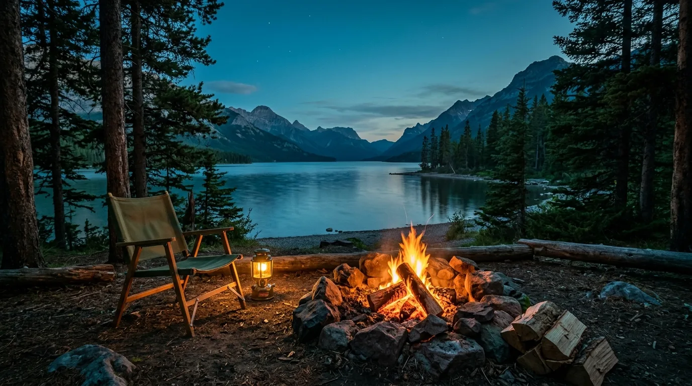
The quiet corner of the Rockies, where the prairie hits the mountain wall with no foothills to soften the blow. A national park you can walk across in a day, a provincial wilderness next door with half the rules, one boat to Montana — and wind that has been clocked past 150 km/h. Two rulebooks, one trip — taken apart.
Waterton's marquee lake hikes are carrying active bear warnings as this issue ships, the townsite deer are in full fawn-defence mode, and one campground has now been closed for nine years. The Castle, by contrast, is having a quiet summer. The rest of this journal is evergreen — this box is not. Check the live sources before you commit to anything below.
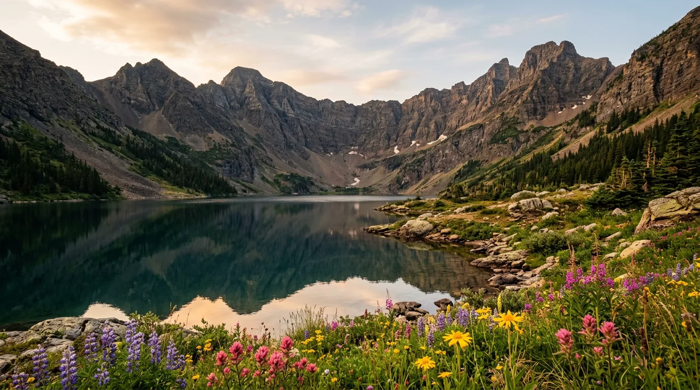
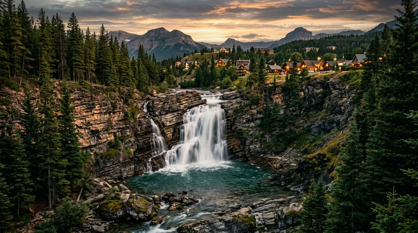
Waterton is the smallest national park in the Canadian Rockies and the strangest: the prairie runs flat to the mountain wall and simply stops, a lake deep enough for a cruise boat crosses an international border, and a town with five EV chargers and one gas pump sits inside it all. In 1932 it was joined with Montana's Glacier to form the world's first International Peace Park; in 2017 it became half of the world's first cross-border Dark Sky Park. Also in 2017, the Kenow fire burned forty percent of it — and the wildflower explosion that followed is now one of the best shows in the Rockies.
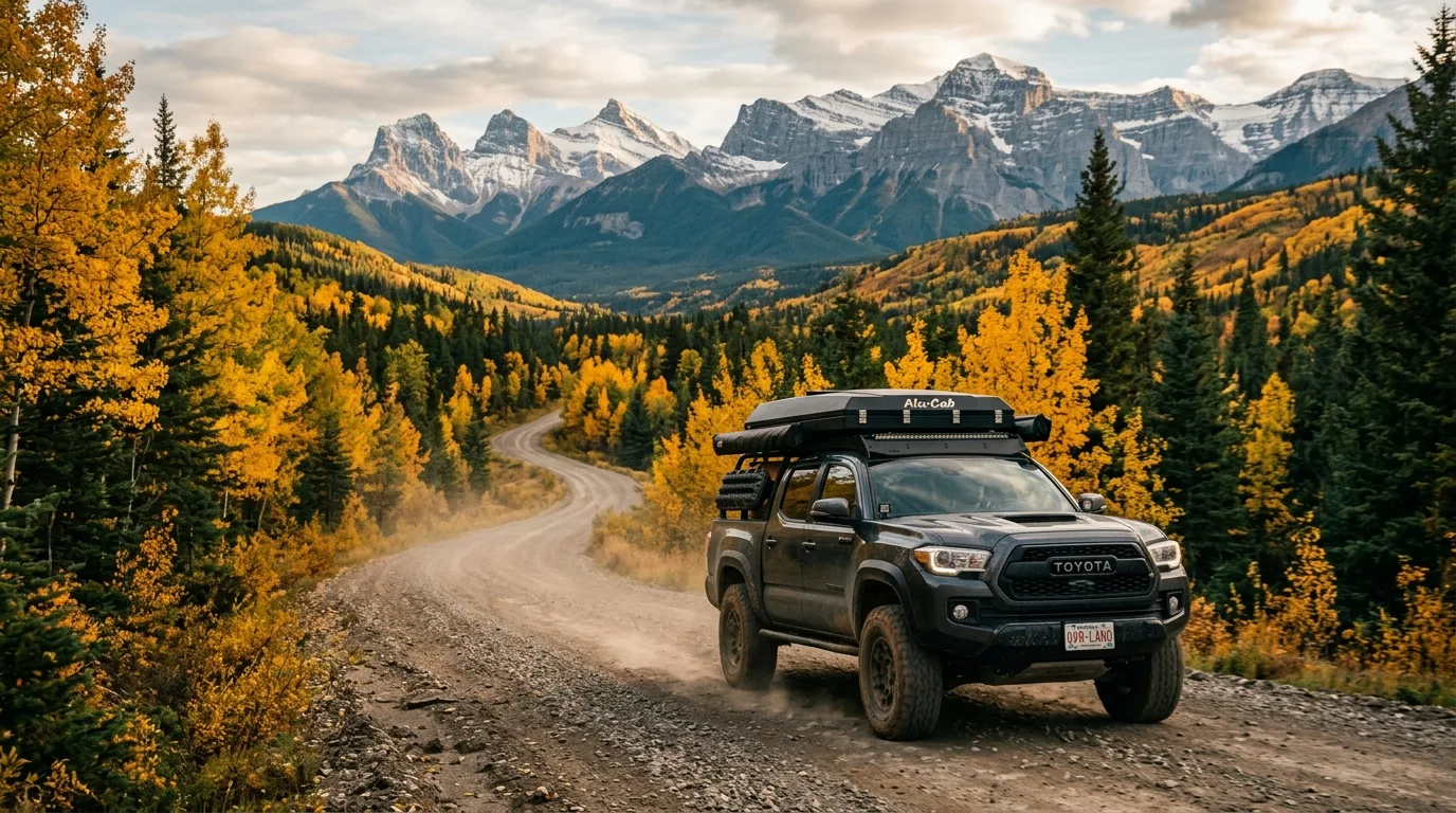
Twenty minutes north-west, the Castle is the counterweight: two provincial parks stitched over former public land in 2017, run on Alberta rules. No entry fee, no plate scanners, campgrounds from $20, your own kayak welcome, OHVs still legal on designated trails, and free backcountry camping if you'll carry a tent a kilometre from the road. Waterton gives you the icons; the Castle gives you the latitude. This journal treats them as one trip, because that's what they are.
The clearest expression of the two-rulebook trip: Waterton is Parks Canada admission (free all summer 2026 under the Canada Strong Pass), and the Castle has no entry fee at all — no daily rate, no annual pass, and no, the Kananaskis Conservation Pass has nothing to do with it.
| Adult · day | $12.25 |
| Family/group · day (up to 7, one vehicle) | $24.50 |
| Senior · day / Youth 17 & under | $10.75 / free |
| Waterton annual · adult / family | $60.50 / $120.75 |
| Discovery Pass · adult / family (every Parks Canada place, 12 months) | $83.50 / $167.50 |
Canada Strong Pass: admission free for everyone 19 June – 7 September 2026, plus 25% off Parks Canada camping. Applies automatically — nothing to buy or register.
Waterton hangs off Highway 5/6 in the province's bottom-left corner; the Castle sits one valley system north-west, reached through Pincher Creek on Highways 507 and 774. Learn the triangle — Waterton, Pincher Creek, the Castle — and the whole region clicks. A schematic planning map: navigate with an offline topo, not this page.
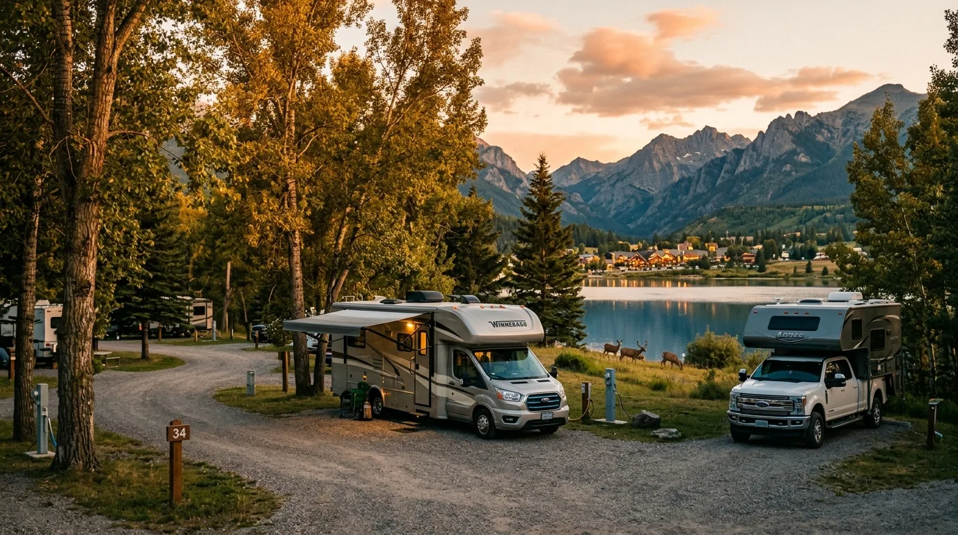
Same series rule as always — you cannot sleep in your rig at a pullout, in either park. But this corner offers something the Icefields never did: a $20 first-come fallback that stays open into November, and genuinely free camping if you'll carry the tent.
Townsite campground (246 sites, showers, power, sewer) is reservable 8 May – 21 Sep; the 2026 window opened 3 February at reservation.pc.gc.ca — note several blogs circulated a wrong January date. First-come fallback: Belly River, 24 sites, $22, the park's quiet corner.
Beaver Mines Lake, Castle Falls and Castle River Bridge are reservation-only (shop.albertaparks.ca, 90-day window). Lynx Creek ($23) and the $20 Designated Camping Areas are first-come self-register — and the DCAs run 1 May – 30 Nov, the longest season in this series.
Castle Wildland: random backcountry camping is free, no permit — tents only, 1 km from any road or facility, 50 m from trails, vehicle camping prohibited. For vehicle-based freedom, it's the Livingstone PLUZ north of the Crowsnest (Atlas area, Forestry Trunk Road) on a Public Lands Camping Pass — $30/year or $20/3-day per adult.
Waterton 2026 rates: full service $47.25, electric $40.00, unserviced $34.00, walk-in tent $27.75, Belly River $22.00 — less 25% inside the Canada Strong window. Castle: DCAs $20, Lynx Creek $23, Castle Falls $26, Beaver Mines $28, powered Castle River Bridge $34, comfort cabins at Beaver Mines ~$100. Waterton backcountry $15/person/night, launched 3 Feb with the frontcountry.
Decent signal in the townsite; Parks Canada warns coverage is unreliable on both parkways and the Chief Mountain Highway; and the Castle valleys are effectively dead air. Download offline maps, screenshot reservations, carry the satellite communicator. Emergencies: 911, and Parks Canada's 24/7 dispatch at 1-888-927-3367 for warden and wildlife matters.
Two in Waterton, five in the Castle. Fees and seasons checked against Parks Canada and Alberta Parks in July 2026 — Alberta Parks shows no page dates, so confirm at booking.
| Basecamp | Where | Style | Pick it for | Watch for |
|---|---|---|---|---|
| Townsite | Waterton NP · in town | 246 sites · $27.75–$47.25 · reservable | Full service inside a national park town: showers, power, sewer, and every trailhead, café and the marina on foot. | Season May 1–Oct 12 (reservable May 8–Sep 21). No individual fire pits — communal stoves. Lake-edge sections are brutally wind-exposed. Deer own the lawns |
| Belly River | Waterton NP · Chief Mountain Hwy | 24 sites · $22 · first-come | The quiet, treed, fire-pit corner of the park — and the cheapest legal night in Waterton. | Season May 28–Sep 7. No potable water. RVs to 21 ft, back-in. Generators on a strict window |
| Beaver Mines Lake | Castle PP · off Hwy 774 | 79 sites · $28 · reservation-only | The Castle's flagship: lakefront, boat launch (your own boat is legal here), Table Mountain at the door. | Season May 15–Sep 30. 5 km gravel access. Hand pumps are fire water, not drinking water — bring your own |
| Castle River Bridge | Castle PP · Hwy 774 | 23 powered sites · $34 · reservation-only | The only power in the Castle — 15/30-amp and potable standpipes. The RV answer on this side of the trip. | Season May 14–Sep 30. Small — it books out with the fly-fishing crowd |
| Castle Falls | Castle PP · Hwy 774 + 6 km gravel | 45 sites · $26 · reservation-only | Riverside sites beside the falls and swimming holes. The family pick on the Castle side. | Season May 15–Sep 23. Gravel access; no potable water here either |
| Lynx Creek | Castle PP · O'Hagen Rd | 27 sites · ~$23 · first-come | The hideout: 9 km of hilly gravel filters the crowd to almost nobody. Self-register and exhale. | Season ~May 12–Oct 2. Trailers want a capable tow rig. Zero services, zero signal |
| Designated Camping Areas | Castle PP · along Hwy 774 | Multi-unit areas · $20 · first-come | The series' best safety valve: self-register vehicle camping, open 1 May – 30 Nov — seven weeks past everything else here. | Cash/cheque self-registration. DCA 3B's upper loop closed to 31 Aug 2026. Amenities: fire ring, vault toilet, that's it |

Seven profiled routes from a twenty-minute canyon loop to the most famous scary-fun day hike in Canada. Waterton publishes real official figures; the Castle's are thinner — where a figure is unofficial or ambiguous, it says so in place.
| Trail | Level | Distance | Gain | Time | Status · 15 Jul 2026 |
|---|---|---|---|---|---|
| Red Rock Canyon + Blakiston Falls | 0.7 km loop + 2 km return | Minimal | 1 hr | Open | |
| Bear's Hump | 2.8 km return | 225 m | 1 hr | Open | |
| Crandell Lake | 3.6 km return* | 75 m | 1 hr | Open | |
| Bertha Lake | 10.4 km return | 460 m | 4.5 hr | Bear warning | |
| Upper Rowe Lakes | 12.8 km return | 575 m | 5 hr | Aggressive bear warning | |
| Crypt Lake | 17.2 km return + boat | 675 m | 6 hr + boat clock | Open | |
| Table Mountain (Castle) | 9 km† | 832 m | 4–6 hr | No current report |
* From the Akamina Parkway trailhead — the easiest of three approaches (Red Rock side: 4 km; townsite: 12.4 km). † Alberta Parks' official figure doesn't state one-way or return, and publishes no time — most descriptions treat ~9–10 km as the round trip. Assume the harder reading.
The park's cardiac test: a relentless stone staircase up the burned slope behind the visitor area to a bluff with the whole postcard below — town, lake, the border running down the middle of it all toward Montana. Rebuilt after Kenow, and the open burn means the view starts almost immediately.
MAIN CAUTION: steep enough that people underestimate it constantly, and the summit bluff is unfenced — hold kids' hands and hats. The lot fills mid-day in summer; go at dawn or after dinner. Full sun the whole way — the fire took the shade.
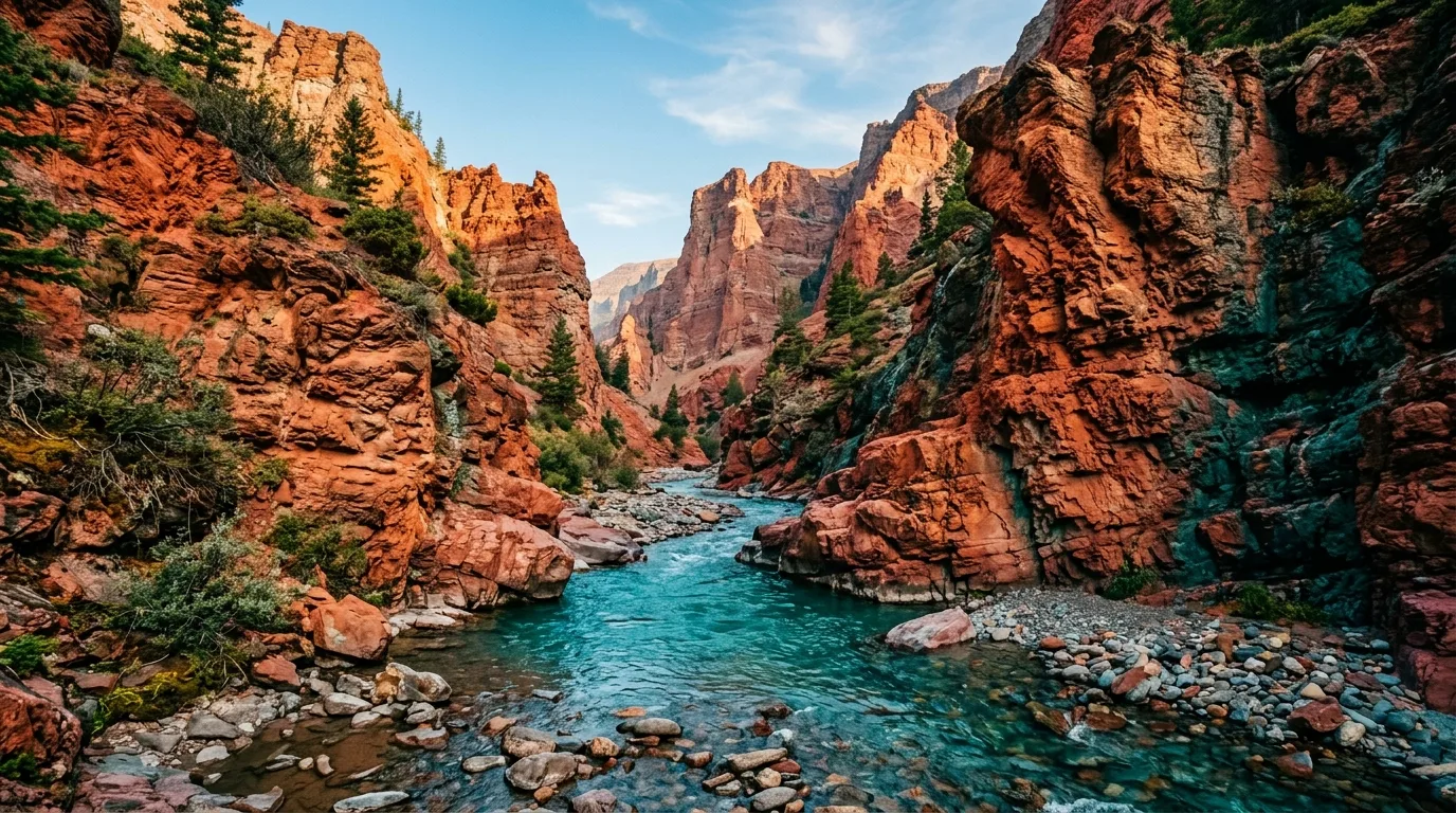
Fifteen kilometres up the Blakiston valley, the creek has cut a canyon through argillite so red it looks staged. The paved-ish loop crosses it twice; the Blakiston Falls add-on from the lower lot is flat and fenced at the viewing decks. This is the stop that converts kids to hiking.
MAIN CAUTION: the water-polished rock is soap-slick, and every summer someone scrambling into the canyon finds that out the expensive way — stay on the trail side of the rails. Remember the parkway itself closes to vehicles late October to early May.
From the townsite on foot: a viewpoint over the big lake, Lower Bertha Falls at the easy turnaround (5.2 km return for the short version), then switchbacks through the Kenow burn to a green cirque lake with a trail right around it. Nine seasons post-fire, the wildflower flush on this trail is the show.
MAIN CAUTION: this is the bear corridor of summer 2026 — an active Bear in Area warning covers the trail and both bay campgrounds, with a closed area near the trailhead since May. Travel grouped and loud, spray on the hip. The burn also means zero shade — carry more water than 10 km suggests.
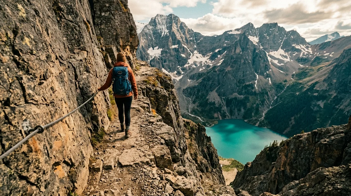
A water taxi to a trailhead you can't drive to, four waterfalls, a steel ladder, a thirty-metre natural tunnel you crawl through, a cabled ledge above a serious drop — and then a lake in a stone bowl sitting on the international border. It earns every listicle it's ever been on.
MAIN CAUTION: the boat clock rules everything. $35 + GST, first-come, no reservations — peak-season drops 8:30/9:00 am, pickups 3:30/5:30 pm. Miss the last boat and it's a night out or the Wishbone trail, currently "extremely overgrown… travel not recommended." The ledge-ladder-tunnel sequence is no place for loose dogs or frozen shoulders; queues form there on busy days. Unburned by Kenow — real forest shade, a rarity here.
Ride to Cameron Lake, walk home to the townsite over Carthew Summit — a full traverse of the park's high line, with red scree, chains of lakes, and both faces of the Kenow burn. Done this direction (the official figures above), gravity pays most of the bill; the reverse costs 1,023 m of climbing.
MAIN CAUTION: Carthew Summit is exposed, holds snow into early July, and takes the wind with nothing to slow it — there are no bail-outs mid-route. The Tamarack Outdoors shuttle ("Carthew Express") runs from town to Cameron Lake; 2026 times and fares weren't published online at press time — book by phone, 403-859-2378.
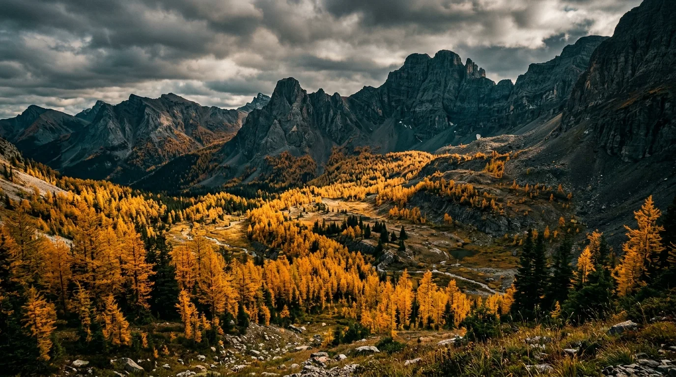
Parks Canada's own pick for larch season: the Rowe–Tamarack country turns gold in the second half of September, and Upper Rowe's bench of lakes under the headwall is the place to stand in it. Lower Rowe (8 km return, 350 m) is the honest short version.
MAIN CAUTION: an aggressive-bear warning has been active since 5 July, and Upper Rowe is washed out in sections. If the warning holds, Lineham Falls (9 km return, 350 m, same parkway) is the quiet substitute — its trail ends below a 100 m headwall waterfall, and continuing beyond is a permit-only climbers' scramble. Don't.
The Castle's signature summit: up from the Table Mountain staging area near Beaver Mines Lake to a flat-topped plateau with the whole southwest corner — Waterton's peaks, the prairie, the Crowsnest — laid out around you. Alberta Parks calls it strenuous with "some scrambling required," and it means it.
MAIN CAUTION: the plateau takes the region's wind with zero shelter — this is the hike to cancel on a gust forecast. And an honesty note: Alberta Parks' official page gives 9 km and 832 m but doesn't say one-way or return, publishes no time, and its trail report hasn't updated since early 2025 — plan on the harder reading and read the trailhead board. Barnaby & Southfork Lakes (9 km return, 650 m, official) is the Castle's larch-ringed alternative.
Upper Waterton Lake runs south across the 49th parallel into Montana, and the Shoreline Cruise Co. has been running it for sixty-plus years. It's a cruise, a border crossing, and the only bus to the Crypt Lake trailhead — and none of it takes reservations.
Waterton bans all outside watercraft from launching — canoes, kayaks, SUPs, inflatables, everything — to keep invasive mussels out, and motorized boats face a 90-day quarantine. The legal way onto the water is the rental fleet at Cameron Lake (canoe/kayak/SUP/row, roughly mid-June to mid-September, first-come).
Two Cameron Lake rules that matter: the lake's south end crosses into Montana — don't paddle past the boundary — and the avalanche slopes at that south end are prime grizzly habitat. Parks Canada's guidance is blunt: view them from the boat, do not land, do not hike those slopes.
The Castle plays by Alberta rules: your own boat is welcome at Beaver Mines Lake — arrive clean, drained and dry.
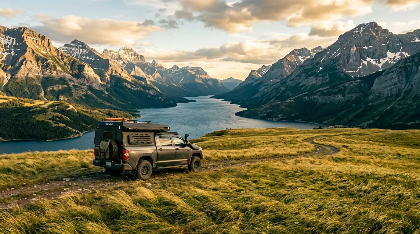
Nowhere in this series does the two-rulebook problem bite harder than fishing — the documents, the seasons and the closed waters all change at an invisible boundary. The night sky, mercifully, is governed by one designation: the world's first cross-border Dark Sky Park.

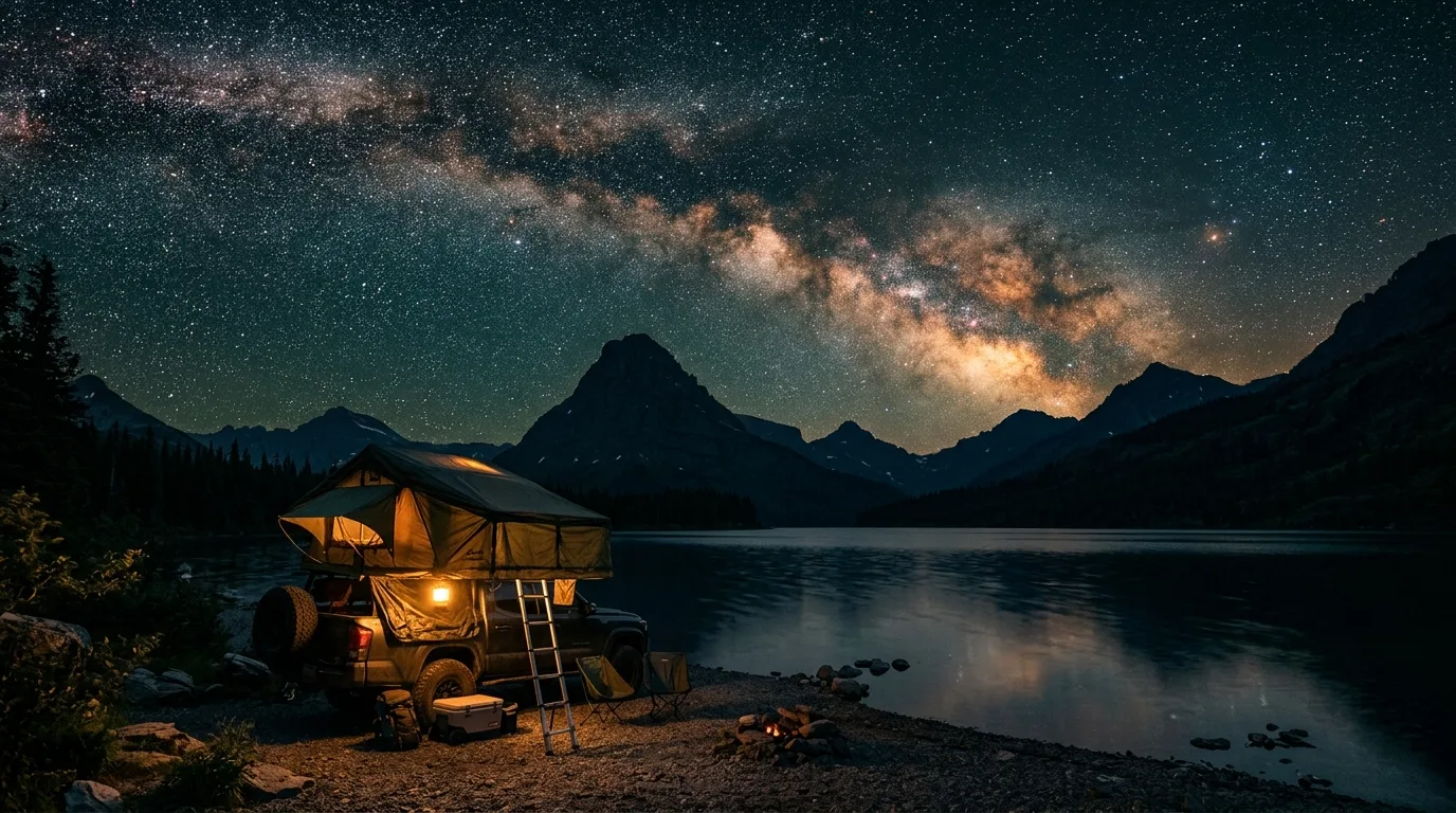
In 2017 Waterton-Glacier became the world's first transboundary International Dark Sky Park (fully certified 2021). Practically: retrofitted lighting, protected sky quality, and genuine darkness within walking distance of a serviced campsite — a combination almost nowhere else offers.
Parks Canada's own spots: Cameron Bay (south end of Evergreen Ave — walkable from the campground), the Red Rock Parkway pullouts, Maskinonge viewpoint and the Bison Paddock overlook. Guided telescope nights and the little planetarium run through Dark Sky Guides in town. Dark Sky Festival: 10–13 September 2026. Stargaze from legal ground — the pullout overnight rule doesn't take nights off.
Waterton's wildlife problem isn't distance — it's proximity. The grizzlies keep to the berry slopes; the animals most likely to send you to a clinic are grazing the campground lawn.
Both grizzly and black bears work both parks. Summer 2026's warnings sit on the Bertha corridor and Rowe Lakes; August moves everyone into the saskatoon berries, often beside trails. Spray on the hip everywhere — including the walk to the outhouse. In the Castle there are no posted warnings at press time, which means nothing on the ground: same country, same bears.
Waterton's habituated mule deer are the park's most consistent injury risk. In June–July fawning season, Parks Canada's own page warns a doe "may attack without provocation and seriously injure or kill a dog." Thirty metres, dogs on a short leash, and never walk between a doe and the hedge her fawn is lying in. Report incidents: 1-888-927-3367.
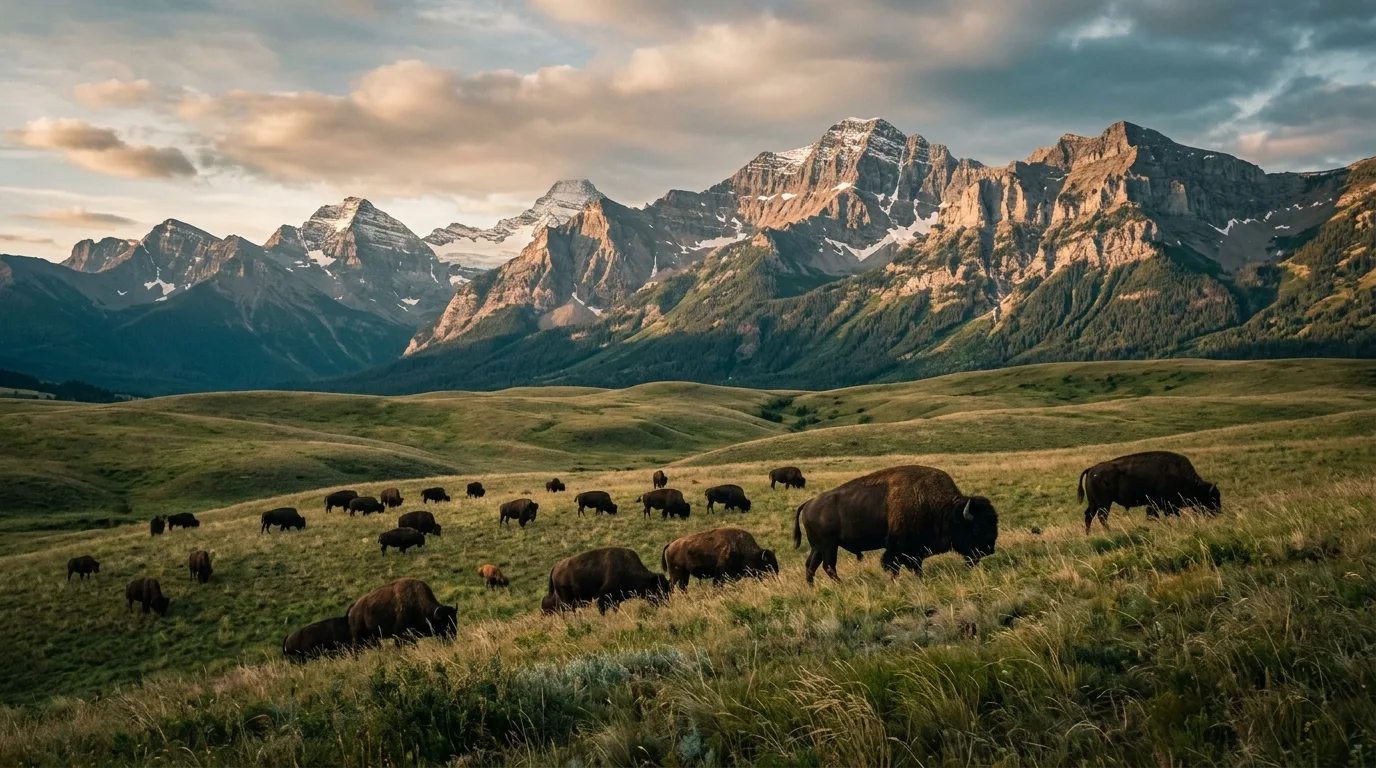
The Bison Paddock loop road (off Hwy 6, free, seasonal) drives you through the herd on the fescue they never stopped owning. Rules are absolute: vehicles only — no pedestrians, no cyclists, no motorcycles — stay inside, drive slow. The overlook doubles as a dark-sky spot after the gates of evening.
The corner's golden rule: gas up and buy groceries in Pincher Creek, because the park's one pump keeps banker's hours and sells no diesel — and the Castle sells nothing at all.
| Stop | Position | Count on | Field notes |
|---|---|---|---|
| Pincher Creek | Hwy 6 · 56 km N of the townsite | Gas + diesel, groceries, hardware · year-round | The real supply town for both parks. Esso open to ~11 pm; no staffed 24-hour station, so don't plan a 2 am fill |
| Pat's — Waterton townsite | In town | Gasoline + propane · seasonal, short hours | No diesel — Parks Canada says so itself. Listed hours run roughly 9–4. Treat it as a top-up, not a plan |
| Mountain View / Cardston | Hwy 5 east | Gas, year-round | The eastern escape valve — Parks Canada names Mountain View with Pincher Creek as the year-round fuel points |
| Blairmore / Crowsnest | Hwy 3 · north of the Castle | Gas + diesel; one 24-h convenience pump | The Castle's north-side answer, and the resupply if you're continuing to the Livingstone PLUZ country |
| The Castle valleys | Hwy 774 and beyond | Nothing | No fuel, no store, no potable water at most campgrounds, no signal. Arrive complete |
Distances here are mercifully short — Waterton to Pincher Creek is ~56 km, Pincher Creek to Castle Falls ~42 km — so one Pincher Creek fill covers a normal weekend. The traps are the details: diesel exists only outside the park, Pat's closes before dinner, and gravel-road kilometres burn more than pavement. The surprise on the plus side: five year-round EV chargers in the townsite (four at the marina lot) — the best charging in this series.
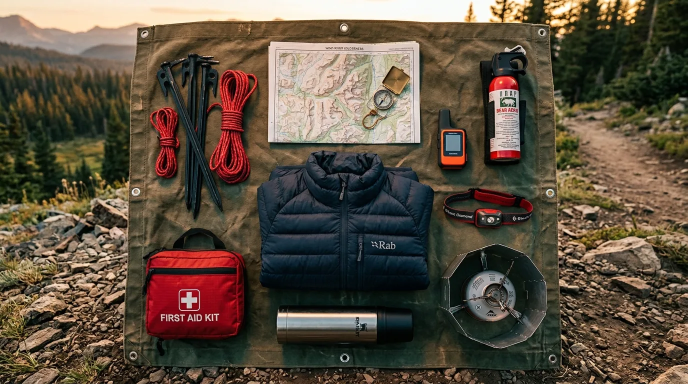
The numbers again, because they're the point: 30 km/h average, fall/winter gusts frequently over 100, and 150+ recorded in the main valley. Practice: awning stowed whenever unattended; rooftop tent door away from the southwest; heavy stakes and real guylines for ground tents; the stove windscreen isn't optional; and on gust days, drive the parkways instead of walking the ridges. The wind is the region's personality — plan with it, not against it.
Townsite: groceries at Rocky Mountain Food Mart, the region's only laundromat behind the Village Gift Shop (8 am–10 pm summer), showers at the Townsite campground, free wifi at Town Square. Signal: fine in town, unreliable on the parkways, absent in the Castle. Emergencies: 911 · Parks dispatch 1-888-927-3367 (24/7). Full supermarket runs happen in Pincher Creek.
The landing cruise's 30-minute stop is the easiest international border crossing of your life — no passport needed if you stay at the ranger station and reboard. Hiking on into Glacier turns it into a real crossing: passport + the CBP ROAM app, same day.
The seasonal drive-through border (15 May – 30 Sep 2026; 7 am–10 pm in peak summer) — the road link for a Waterton–Glacier loop. The highway's viewpoints over the Belly River country cost nothing even if you never cross.
End of the Akamina Parkway: rentals mid-June to mid-September, the lakeshore walk (3 km return), and a subalpine bowl that stays cool on prairie-hot days. The south end is Montana and grizzly country — the boundary rule and the don't-land rule are the same rule.
The Castle's other official-figures hike (9 km return, 650 m): a footbridge over the Castle River, a steep climb, and lake basins ringed with larch that go gold in late September. The ridgeline above is unmarked and exposed — the lakes are the objective.
7.4 km return of the only unburned prairie walking in Waterton — head-high grass, the mountain wall for a backdrop, and in June some of the best of the park's thousand-plus plant species. The "Wildflower Capital of Canada" claim gets tested here, and passes.
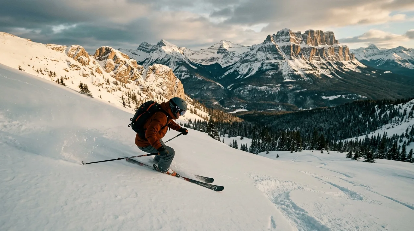
The end of the pavement on Hwy 774 and the region's winter anchor — ~9 m of annual snow, big quiet terrain, and a cat-ski operation, last season running 5 Dec – 5 Apr. In summer its base area is the staging for the Castle's high country.
A corner with two rulebooks, one seasonal gas pump, no diesel, dead-air valleys — and wind that eats awnings for practice. Orange items are the non-negotiables.
Waterton in winter nearly closes — a couple of restaurants, a lot of wind, wildlife outnumbering people. The Castle answers with nine metres of snow and the least-crowded real ski hill in Alberta.
Improvising, again — but here the enemy is wind more than distance. Winter gusts are the season the 100+ km/h numbers belong to; chinooks can swing the temperature 20 degrees in an afternoon and glaze every surface on the rebound. Services in the townsite drop to a handful of businesses; Belly River and every Castle campground except the DCAs' tail season are closed; and the Chief Mountain crossing is locked until May. Check 511, check the gust line, and give the lakeshore a wide berth when the spray is freezing where it lands.
Run it the night before you roll. Tap each item as it's done — no excuses survive contact with this list.
Waterton publishes real figures and live bulletins; the Castle's official pages run thinner and staler — both realities are flagged in place throughout this issue. Conditions, access, fees and rules change. These sources are the truth on the day you travel.
Everything above, condensed into a print-ready PDF built for the glovebox — where it still works when the parkways drop to zero bars and the Castle never had any. The corner map, trail cards, both parks' camping tables, the wind doctrine, the boat schedule logic and the departure check, on paper the gusts can't crash.
Every Trekkr Trail Journal is built like this one: custom maps, honest trail beta, full logistics, kit lists and the local knowledge that turns a good trip into the one your crew talks about for years. New destinations drop all season long.
Unlock the Trail Journal LibraryGet this guide — and every other Trekkr field guide, current and future — with the Adventure Passport. Read online or download for offline, plus your saved Adventure Builder trips.
Get the Passport — $19.95/yr →