The clearest big lake in the West sits astride two state lines, and on a July weekend the trip is decided less by the trail than by whether you can park. Sand Harbor books out by 8 a.m.; the Emerald Bay lot fills at dawn; Desolation Wilderness needs a permit even to day-hike. Win the parking, time the passes, respect the cold water and the altitude, and Tahoe is one of the great weeks in California and Nevada.
The rest of this journal is evergreen; this box is not. At Tahoe two things decide whether your plan works before you lace a boot — the day-use parking and reservation reality at the marquee spots (§02) and whether the passes are open and clear (§03). Both are set season by season and change day to day. Everything below is dated to the day we checked it. Trust the live sources, not our date stamp.
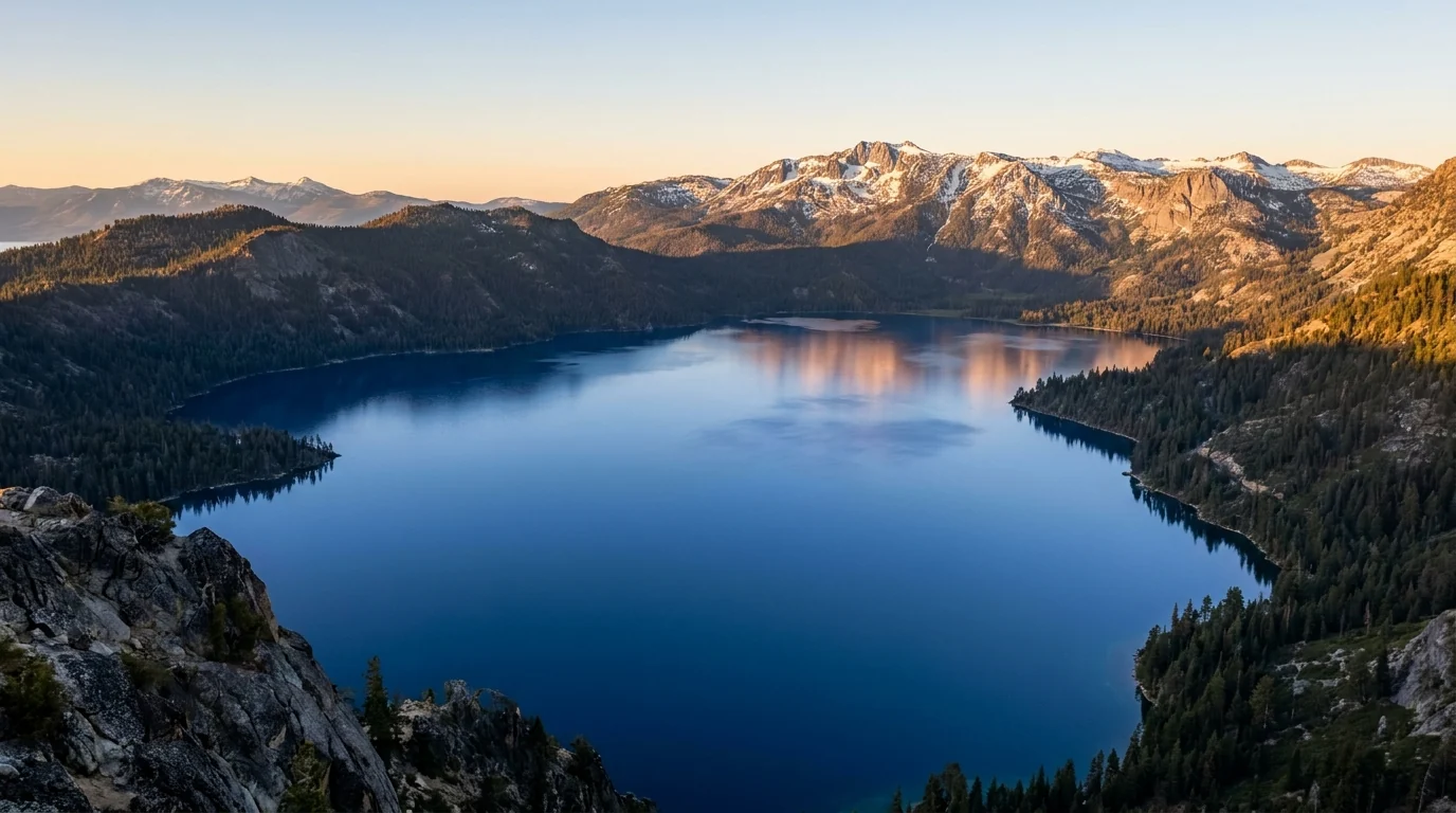
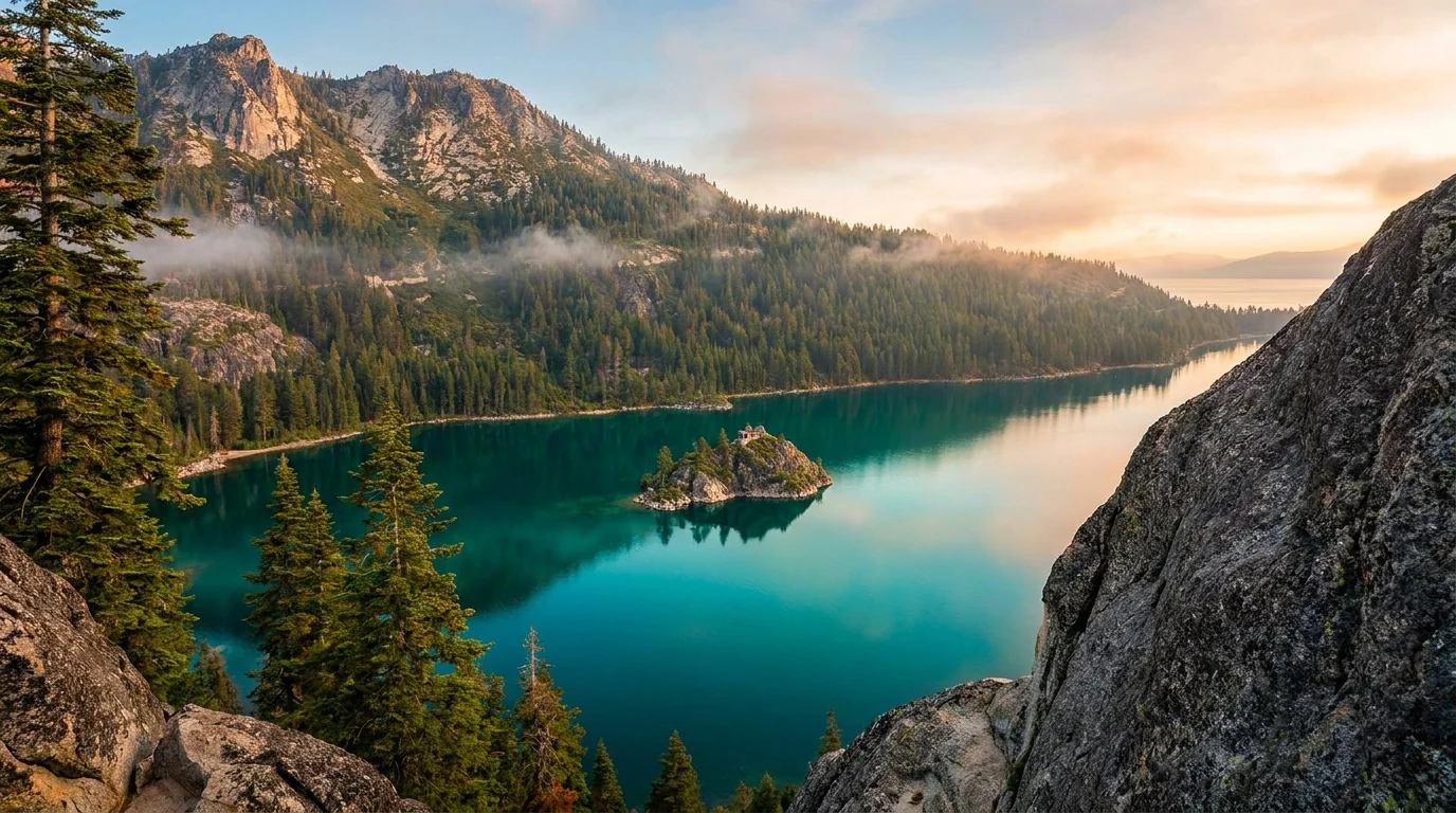
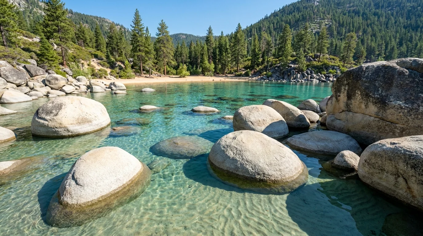
Lake Tahoe is the rare place that lives up to its own postcard — 1,600 feet of cobalt water held between California and Nevada, ringed by granite and pine at 6,225 feet. It is also one of the most congested landscapes in the American West on a summer weekend. The 72-mile shoreline drive strings together world-famous beaches, a glacial bay with the lake's only island, and trailheads into a granite wilderness — but the marquee spots run out of parking by mid-morning and several now require reservations. Learn where the lots fill and when, respect the cold water and the altitude, and use the quieter Nevada east shore and the Lost Sierra to the north as pressure valves, and you get some of the best beach-and-mountain country in the country.
Granite-rimmed alpine lakes within a half-day walk — Eagle, the Desolation basins, Winnemucca — plus the clearest swimming coves in the West at Sand Harbor and the Lost Sierra's Sierra Buttes to the north (§04, §05).
The lake sits at 6,225 ft, campgrounds run to 8,000+, the passes top 8,500–8,900. You sleep at altitude — and the water stays dangerously cold even in July (§06).
The lots fill by mid-morning, and afternoon thunderstorms build over the high country most summer days. On both counts the move is the same: start at first light (§02, §06).
If you take one thing from this issue, take this. At Tahoe's marquee spots you cannot simply show up mid-morning and expect to park. Sand Harbor on the Nevada shore now runs a timed day-use reservation and fills to capacity early; Emerald Bay and the Eagle Falls trailhead on the California side have tiny lots that are full at dawn; roadside pull-offs along the east shore have been fenced and ticketed. Here is how the busiest access points worked for 2026 — confirm the exact windows and fees before you build a morning around them, because they are set each season.
| Marquee access point | 2026 arrangement | Reported cost | The catch |
|---|---|---|---|
| Sand Harbor (NV) Lake Tahoe Nevada State Park |
Day-use reservation 8:00–10:30 a.m., ~15 Apr–15 Oct, via ReserveNevada.com; unclaimed slots first-come after 10:30 | ~$10 NV vehicle / ~$15 out-of-state (entry) | The lot fills and closes by 8–9 a.m. on summer weekends. A reservation holds a window, not a guaranteed all-day space |
| Emerald Bay / Vikingsholm (CA) Emerald Bay State Park |
First-come paid day-use lots on CA-89; no reservation, no shore access by car | Paid day-use parking (reported ~$10 Vikingsholm lot) | Full at or before dawn. Vikingsholm is a steep ~1-mile walk down. CA-89 here has closed for repairs in past years |
| Eagle Falls trailhead (CA) Desolation Wilderness gateway |
Small first-come paid lot opposite Emerald Bay; Desolation day permit self-issued here | Paid day-use parking | One of the first lots to fill in the basin. Overflow shoulder parking is limited and enforced |
Reservations for Sand Harbor are made through ReserveNevada.com; California state-park camping through ReserveCalifornia.com. Every figure above is the reported 2026 arrangement — confirm windows, hours and prices at the source before you plan a morning around them.
A reservation at a lakeside state-park or Forest Service campground puts you inside the gate before the day-trippers arrive. Stay at D.L. Bliss and the Rubicon Trail to Emerald Bay leaves from your campground; stay at Nevada Beach and you're on the east shore for a dawn paddle before Sand Harbor's lot even opens. That is the camper's edge here — you skip the mid-morning parking war entirely (§07).
Sand Harbor's is a day-use parking reservation, not a wilderness permit. It gets your vehicle into the park in a morning window — it does not cover overnight backcountry travel. The two systems that do gate the trails are the Desolation Wilderness permit (§05) and, on the Carson Pass corridor, the Carson Pass Management Area day permit for certain trailheads. Budget for whichever applies to your day.
Dogs are allowed on most Forest Service and state-park trails on leash, but are restricted on some state-park beaches — check the specific park.
Tahoe is reached over passes, and in winter the pass — not the weather at the lake — is what decides whether you get there. I-80 over Donner Summit is the busiest and most storm-prone crossing in the Sierra. CA-88 over Carson Pass and NV-431 over Mount Rose stay open but run on chain controls. And the high side roads that reach the wildflower lakes and the Lost Sierra are gated by snow into summer. Know which is which — and check the live status — before you plan a day or a shortcut around any of them.
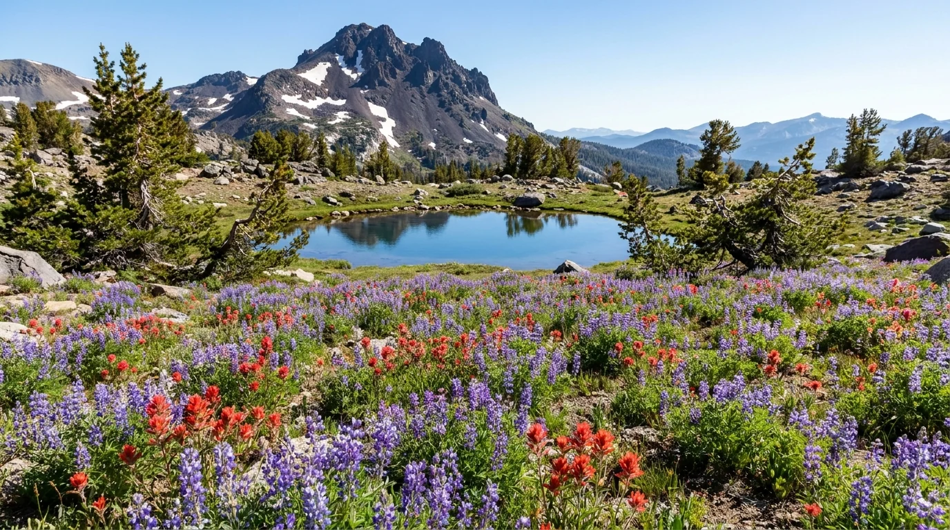
CA-88 crosses Carson Pass at 8,574 ft south of the lake — a quieter, gorgeous drive past Caples and Silver lakes and the Kirkwood area, famous for its July wildflower meadows below Round Top (§04).
Open all winter but chain-controlled, and the high side roads and campgrounds off it — Woods Lake (~8,200 ft), Caples Lake (~7,800 ft) — are snow-gated and open late (reported ~22–26 June 2026). Some trailheads need a Carson Pass Management Area day permit.

NV-431, the Mount Rose Highway, climbs from Reno/Incline Village over an ~8,900-ft summit — the highest year-round pass in the basin — past Tahoe Meadows and the Mount Rose trailhead (§04). Plowed but chain-controlled and occasionally closed in big storms.
US-50 over Echo Summit is the main South Lake Tahoe approach from Sacramento — also chain-controlled in winter. Kingsbury Grade (NV-207) and Spooner Summit (US-50) connect the Nevada east shore to the Carson Valley.
No fuel on the high side roads. Fill up in Truckee, Tahoe City, South Lake Tahoe, Incline Village or Carson City before you climb.
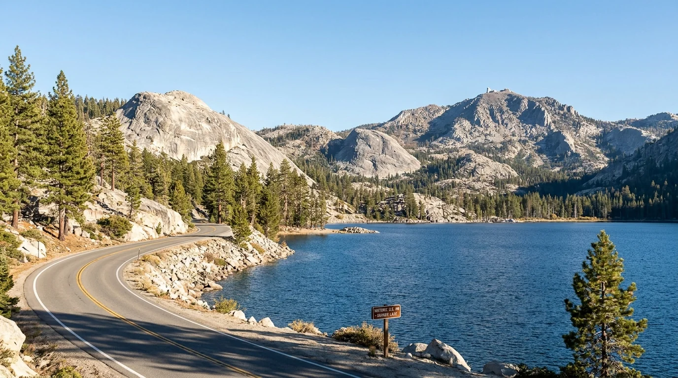
The 72-mile rim road around the lake — CA-89 up the west shore, NV-28 along the Nevada shore, US-50 across the south — is the spine of any Tahoe trip. It is not a hard drive; the difficulty is summer traffic and parking. The Emerald Bay narrows on CA-89 are a slow, cliff-hung single-lane-feeling squeeze, and have closed for extended repairs in past years.
The paved Tahoe East Shore Trail (Incline Village toward Sand Harbor) was built precisely because roadside parking on NV-28 was dangerous and is now heavily restricted — walk or bike that stretch rather than hunting a shoulder (§04).
Tahoe hikes come in two flavours: gentle shoreline and lake-loop walks, and steep granite climbs into the Desolation and Carson Pass high country. The distances and gains below come from trail-guide and land-manager sources and are the best consensus figures we could find — but the Forest Service and state parks don't publish one official table, so treat every number as a planning estimate to confirm, and budget for altitude: most trailheads sit at 6,200–8,900 ft. Times quoted are fit-hiker estimates, not official figures. All mileages are round-trip unless noted. Several of these enter Desolation Wilderness and need a permit even for a day hike (§05).
No permit, mostly gentle, and the reason many people come. Reach them early for parking.
About 3 mi one-way · minimal gain. A paved shared-use path from Incline Village (NV) toward Sand Harbor with lake overlooks and access to hidden east-shore coves. Built to replace dangerous NV-28 shoulder parking; walk or bike it rather than hunting a pull-off. Paid parking at the Incline end.
Popular and busy midday in summer. The coves below are beautiful but the water is cold and the rocks are slick — supervise children.
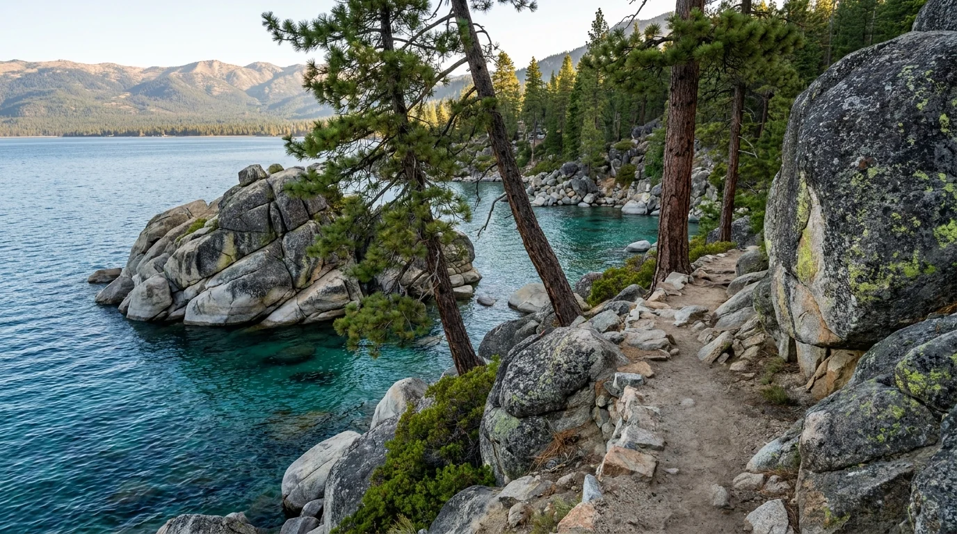
~4.2 mi one-way along the shoreline between D.L. Bliss State Park and Vikingsholm, over clear coves and past a lighthouse. Easy-to-moderate; best as a one-way with a car shuttle or an out-and-back to a turnaround. Distance is a consensus figure.
Cliff-edge sections above the water — keep children close. Parking at both ends fills early; the D.L. Bliss access road is narrow.
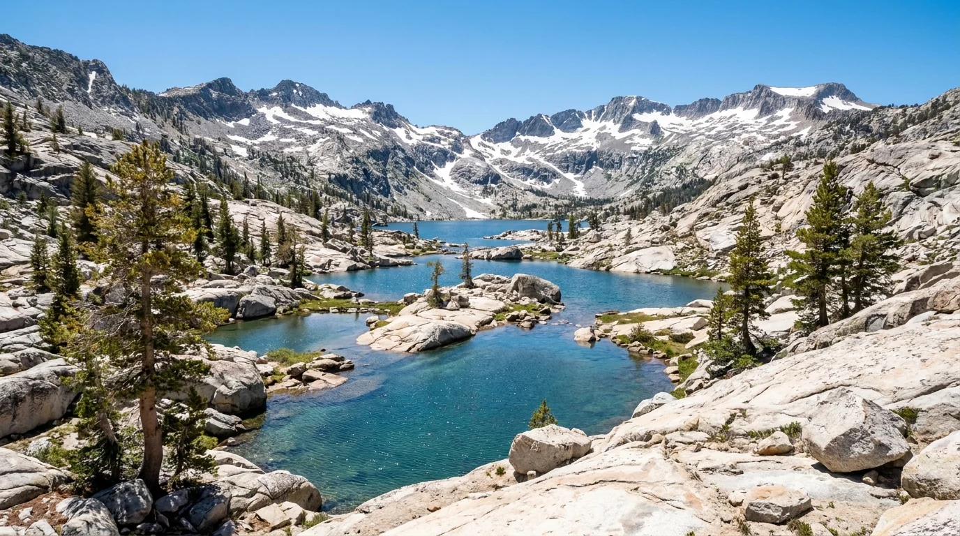
Fill out a free day-use permit at the trailhead (an overnight needs a quota reservation). Granite country, exposed and high — the noon-storm rule applies.
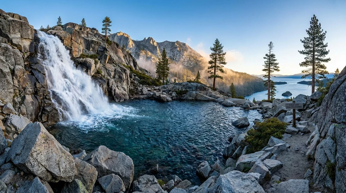
~1.8–2 mi round trip · ~450 ft of gain from the Eagle Falls trailhead (~7,100 ft) opposite Emerald Bay. Moderate and rocky, ending at a cliff-ringed lake right at the Desolation boundary. Distance/gain are consensus figures — confirm at the trailhead. Snow lingers on the approach into early summer.
The lot is one of the first to fill in the basin. Self-issue a Desolation day permit at the trailhead. Rocky footing; the falls are slick at snowmelt.
Widely cited around 10+ mi round trip · ~3,200 ft of gain to a 9,735-ft summit with the definitive Lake Tahoe panorama. Hard, long and high, climbing through forest and shale to an exposed top. Distances and gain are consensus figures, not an official table. Realistic window is mid-summer to early fall.
Enters Desolation — a permit is required and self-issued at the trailhead, even for a day hike. The summit is above treeline and fully exposed. Start before dawn and be off the top before the afternoon storms.
A short, rocky out-and-back from the Bayview trailhead near Emerald Bay to a wide waterfall spilling toward Cascade Lake. We could not pin a single authoritative distance/gain — confirm locally. Best in early summer at full snowmelt; a trickle by late season.
Footing is rough granite near the falls and the brink is unfenced and slick — people have been badly hurt above waterfalls here. Not a place to let children roam. The Bayview lot is small and shared with a Desolation access point.
Roughly 5 mi round trip · modest gain from the Carson Pass area on CA-88 to an alpine lake below Round Top, through some of the best wildflower meadows in the range in July. Distance is a consensus figure. Frog Lake is a shorter turnaround en route.
Some Carson Pass trailheads need a Carson Pass Management Area day permit (fee) from the information station, and parking is limited and fills on summer weekends. High and exposed — storm rule applies.
~1.3 mi loop · minimal gain near the Mount Rose summit at ~8,600 ft — an easy forest-and-meadow interpretive walk with July wildflowers and big views, a short drive from Incline Village. A gentle acclimatisation walk and a great family stop. The nearby Mount Rose summit hike is a strenuous, exposed all-day climb to 10,776 ft.
High and breezy; weather turns fast up here even on the easy loop. NV-431 is chain-controlled in winter.
| Destination | Access | Round trip* | Gain* | Reservation / permit |
|---|---|---|---|---|
| Tahoe East Shore Trail | Incline Village (NV-28) | ~3 mi one-way | minimal | Paid parking |
| Rubicon Trail | D.L. Bliss ↔ Emerald Bay | ~4.2 mi one-way | rolling | Paid parking |
| Eagle Lake | Eagle Falls TH, Emerald Bay | ~1.8–2 mi | ~450 ft | Desolation permit (free day) |
| Mount Tallac | Baldwin/Tallac TH | ~10+ mi | ~3,200 ft | Desolation permit |
| Cascade Falls | Bayview TH | short | modest | Paid parking |
| Winnemucca Lake | Carson Pass (CA-88) | ~5 mi | modest | Carson Pass day permit (some THs) |
| Tahoe Meadows loop | Mount Rose Hwy (NV-431) | ~1.3 mi loop | minimal | None |
| Sierra Buttes Lookout | Gold Lake Hwy (Lakes Basin) | ~5 mi (reported) | ~1,500 ft (reported) | None |
*All distances and gains are consensus estimates from trail guides and land-manager pages, not an official table. Confirm at the trailhead. Times in the entries above are fit-hiker estimates at altitude, not official figures. Anything entering Desolation Wilderness needs a permit even for a day hike (§05).
Desolation Wilderness — the polished-granite basin of clear lakes just west of the lake — is the crown jewel of Tahoe's backcountry and one of the most heavily used wilderness areas in the country. Because of that, it runs on a permit system that catches people out: you need a permit every day of the year, for a day hike as well as an overnight, and in summer the overnights are capped by a zone quota. This is the honest version, and the reason the quieter Lost Sierra makes such a good plan B.
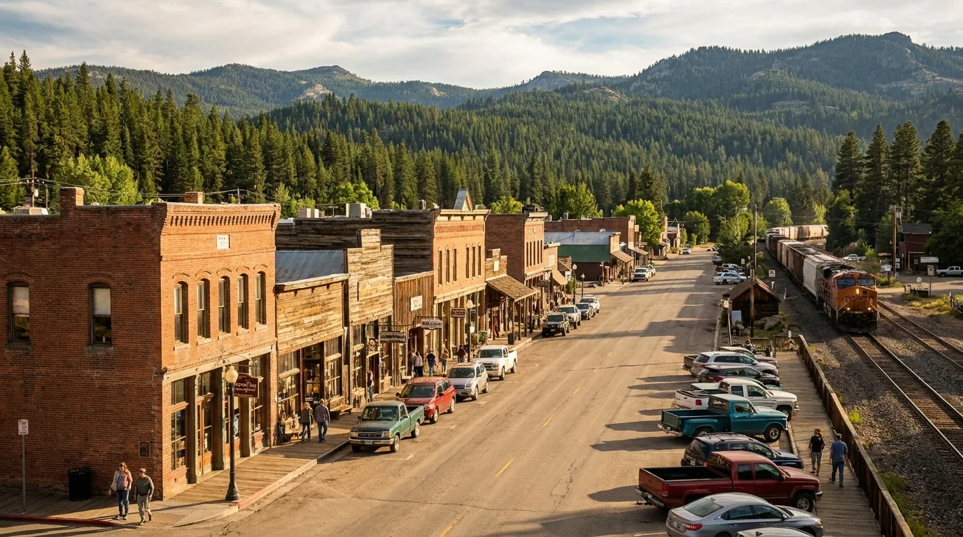
An hour north of Truckee, the Lakes Basin and Sierra Buttes country — the "Lost Sierra" around Sierra City and Bassetts — delivers the same granite-and-lakes payoff with a fraction of the crowds and no wilderness permit.
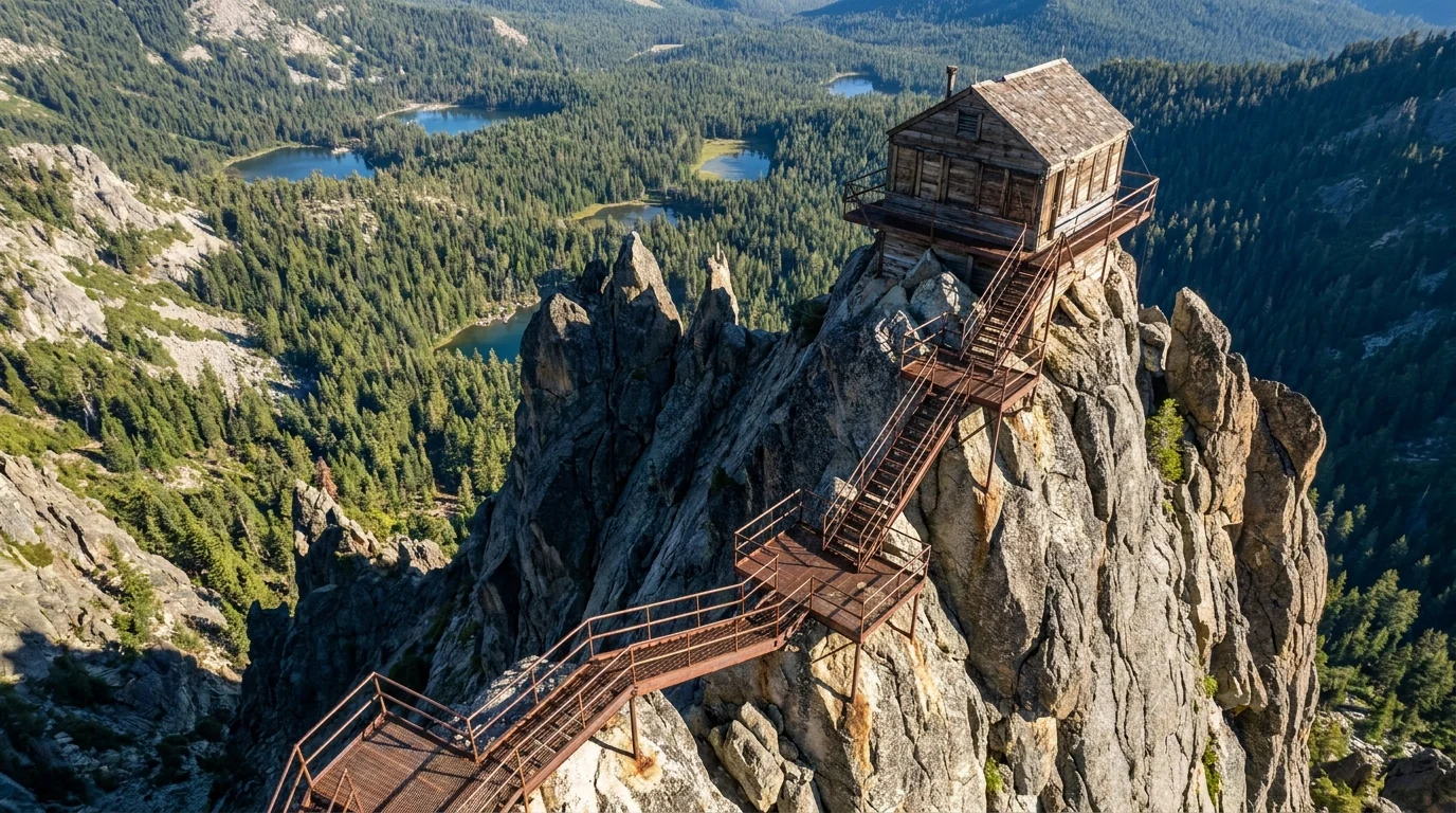
The Sierra Buttes Lookout is the showpiece: a fire lookout bolted to an 8,591-ft crag, reached by a steep trail and open steel stairways riveted to the rock — a spectacular, exposed objective (reported ~5 mi RT, ~1,500 ft gain; confirm locally). Base at Sardine Lake or Salmon Creek (§07).
The final metal stairs are not for anyone uneasy with heights, and the crag is fully exposed to weather.
Four things account for most of what goes wrong at Tahoe, and the most dangerous is the one that looks the most inviting. The first is the water: Tahoe is cold enough to kill in any season, and it does. The second is altitude, which visitors from lower ground underestimate. The third is the afternoon thunderstorm on the high hikes. The fourth is food storage in active bear country. None of it is exotic — it just has to be planned for.
Wear a life jacket for any paddling (kayak, SUP, canoe), keep a very close eye on children at the water's edge, don't swim far from shore, and never assume a warm-air day means warm water. Check the wind forecast before you paddle — the lake can go from glass to whitecaps in an hour.
The lake sits at 6,225 ft, campgrounds run to 8,000+, the passes top 8,500–8,900, and the summits exceed 9,700–10,700. You are sleeping at altitude here.
Acute mountain sickness can begin around 8,000 ft and affects a meaningful share of people arriving from sea level — regardless of fitness. Hydrate hard, go easy on alcohol the first days, don't plan your biggest hike on day one, and if symptoms worsen, descend.
Most thunderstorm activity builds after noon, so start summit and pass hikes early and be back below treeline before storms develop. Mount Tallac, the Desolation basins, the Sierra Buttes and the Carson Pass tundra all sit above or near treeline with little shelter.
If caught above treeline in lightning: avoid summits and isolated features, and crouch on your heels — do not lie flat. Carry raingear, a warm layer, map and headlamp even on a short hike; hypothermia is a summer risk at this altitude.
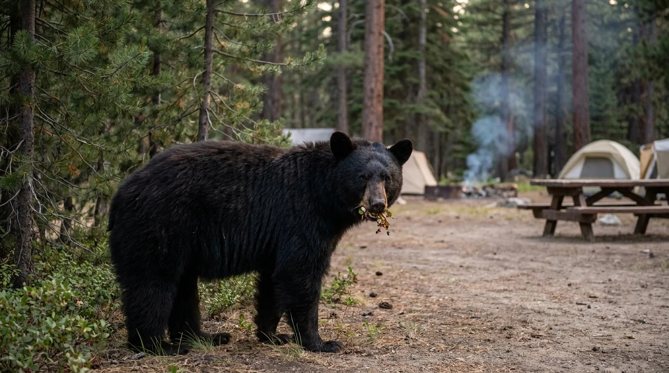
This is active black-bear country (no grizzlies). Most campgrounds provide and require metal bear-proof lockers — store all food, coolers, toiletries and scented items in the box, never in a tent or open vehicle. Backcountry overnights need bear-resistant storage. In town and at trailheads, don't leave food visible in cars — Tahoe bears break into vehicles. If a black bear approaches, stand tall and make noise; never run and never approach a cub.
In winter the hazard shifts to the road: I-80 over Donner Summit and the other passes run on chain controls and close in storms. Carry chains and know how to fit them, keep the tank full, and never park in the roadway to play in the snow. The backcountry becomes avalanche terrain requiring training, gear and current forecasts. Check Caltrans/NDOT and the Sierra Avalanche Center before winter travel.
There's no single big national-park campground here — instead a ring of state-park and Forest Service grounds along several corridors: the California west shore (the state parks), the south shore (Fallen Leaf and Camp Richardson), the Nevada east shore (Nevada Beach), Truckee/Donner, the Carson Pass high country, and the Lost Sierra Lakes Basin. Nearly all provide and require bear boxes, most book out months ahead on ReserveCalifornia or Recreation.gov, and the high ones open late. Book the lakeside sites early — a campground is the access hack that puts you inside the gate before the day-trippers (§02).
| Campground | Corridor · manager | Sites | 2026 season* | Booking | Reported fee* |
|---|---|---|---|---|---|
| Emerald Bay (Eagle Point) | West shore · CA State Parks | confirm | summer (snow/road-dependent) | Reservation (ReserveCalifornia) | ~$35/night |
| D.L. Bliss | West shore · CA State Parks | ~140 (reported) | summer | Reservation | confirm; narrow road, rig limits |
| Sugar Pine Point (General Creek) | West shore · CA State Parks | 175 (reported) | reservable ~mid-May–mid-Sep; ~24 first-come year-round | Mixed | confirm |
| Donner Memorial | Truckee / Donner Lake · CA State Parks | 152 (3 loops) | usually late May – Sep | Reservation | confirm (showers, dump station) |
| Fallen Leaf | South shore · USFS (LTBMU) | 206 (reported) | ~mid-May – mid-Oct | Reservation only | ~$47/night; cabins ~$126 |
| Nevada Beach | NV east shore · USFS (LTBMU) | confirm | summer | Reservation (Recreation.gov) | confirm |
| William Kent | West shore / Tahoe City · USFS (LTBMU) | confirm | summer | Reservation | confirm |
| Woods Lake | Carson Pass (CA-88) · Eldorado NF | tent-only | opens late (2026 target ~22 Jun) | First-come | unconfirmed |
| Caples Lake | Carson Pass (CA-88) · Eldorado NF | confirm | opens late (2026 target ~26 Jun) | Reservation | unconfirmed |
| Sardine Lake | Lakes Basin / Sierra Buttes · Tahoe NF | 29 (reported) | ~late May – mid-Oct | Reservation | ~$24 + $5 extra vehicle |
| Salmon Creek | Lakes Basin / Sierra Buttes · Tahoe NF | 32 (11 tent-only) | ~mid-May – late Oct | Reservation | from ~$24 |
*Seasons, site counts and fees are compiled from ReserveCalifornia, Recreation.gov, Forest Service and state-park listings and vary by source and by season. Several are shown as "confirm" because the listings disagreed or a clean official figure wasn't available. Book by site and read the actual site type and price. LTBMU = Lake Tahoe Basin Management Unit. Bear boxes are provided and required at these campgrounds — use them.
Dispersed camping is tightly restricted in the Lake Tahoe Basin itself — much of the shoreline and basin is developed, state-park or day-use land where roadside overnighting is not allowed and is enforced. Legal dispersed camping is mostly outside the basin on Tahoe and Eldorado national-forest land, and even there it's rule-bound (stay limits, distance from water, existing sites).
And fire restrictions can shut off campfires and dispersed camping entirely in a dry summer — check each forest's current order the week you go, and never assume a campfire is legal.
Unlike a lot of guide regions, Tahoe is well-served: South Lake Tahoe, Tahoe City, Truckee and Incline Village all have groceries, gear, medical and fuel, and Reno is 45 minutes from the north/east shore. The trade-offs are price and crowds, not scarcity. The one place services thin out is the Lost Sierra to the north, where Sierra City and Bassetts are the last resupply before the Lakes Basin. Plan around the gradient — and remember there's no fuel on the high side roads.
Store names and addresses beyond the operators listed below are directional — confirm hours before relying on them. Tahoe is expensive in summer; budget accordingly.
Reno–Tahoe (RNO) is the main airport; Sacramento (SMF) is ~2 hours to South Lake Tahoe. Confirm current services and seasonal hours before you rely on them.
We confirmed no operator pricing — any number you see elsewhere should come from the operator. Phone numbers and hours change; check the current website before you drive over.
Tahoe has a long usable season and two very different faces. Summer is warm, dry and gorgeous — and the most crowded weeks of the year, when the marquee lots fill by mid-morning. Fall brings aspen gold and thinner crowds; winter is a full ski season run on chain controls; late spring is the wildcard when the high roads are still gated by snow. If you want one answer, split it by what you're chasing and go early in the day whenever you go.
One workable shape, not the only one. It fronts the marquee spots to dawn slots, spreads the crowds across both shores, saves the big Desolation day for when you're acclimatised, and finishes in the quieter Lost Sierra. Adjust freely — but keep every marquee visit early, sort the Desolation permit before the big hike, and confirm the high roads are open before you count on crossing them.
Run it before you leave. Tap each item as it's done — these are the ten things specific to Lake Tahoe and the Northern Sierra that a general road-trip habit will skip. Most come back to two facts: the parking and the permits decide your day before the trail does, and the water and the weather here are colder and faster-changing than they look.
Every guide has these; most don't print them. Tahoe mixes two states, three national forests, several state parks and private land with no single authoritative table of distances, fees and reservation windows — and those windows reset every season. So more numbers here are estimates than we'd like, and we've flagged them in place. Everything below was compiled 22 July 2026 and should be re-checked against the linked official source before you rely on it.
Everything above, condensed into a print-ready PDF built for the glovebox — for a two-state lake where the parking and the permits decide your day before the trail does, the water is colder than it looks, and the marquee lots fill by 8 a.m. The Sand Harbor and Emerald Bay access reality, the passes and chain controls, the campgrounds by corridor with bear-box rules, the shoreline-and-granite hikes at honest numbers, the Desolation Wilderness quota permits, the Lost Sierra escape, and the honest list of what nobody could confirm — on paper that works where the bars don't.
Every Trekkr Trail Journal is built like this one: custom logistics, honest trail beta, the camping and access detail, and the local knowledge that turns a good trip into the one your crew talks about for years — including, always, a plain list of what we could not confirm. New destinations drop all season long, from the BC corridors to the Oregon Cascades to the California Sierra.
Unlock the Trail Journal Library