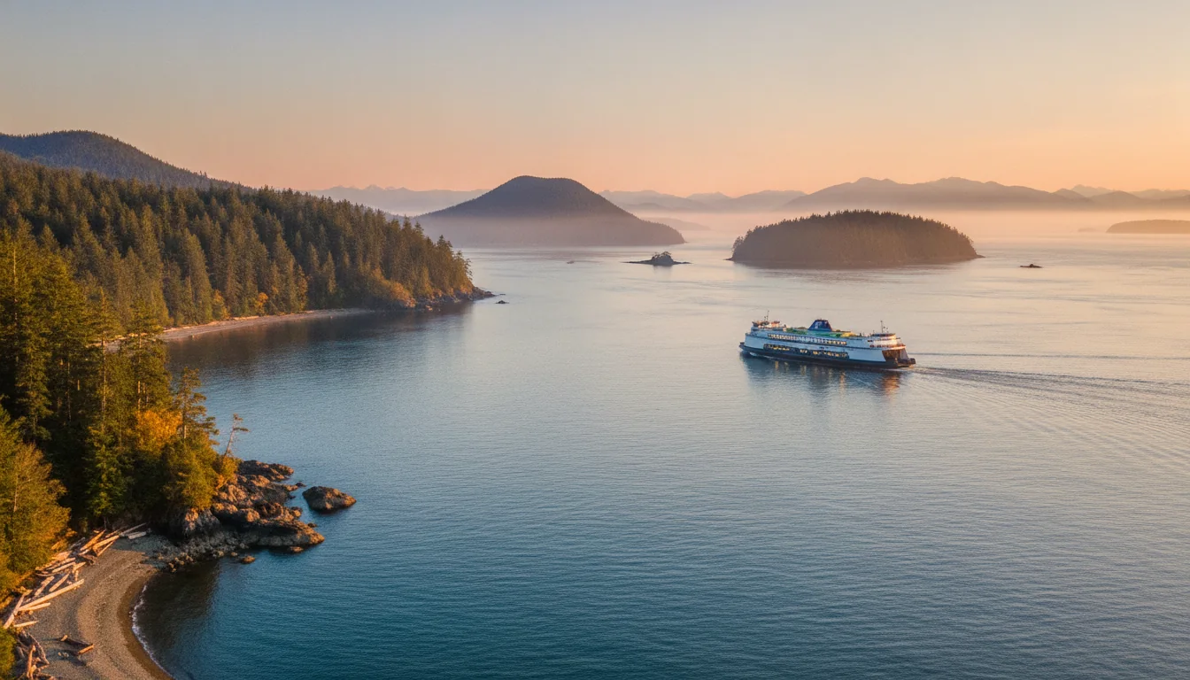
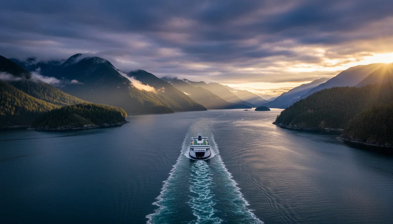
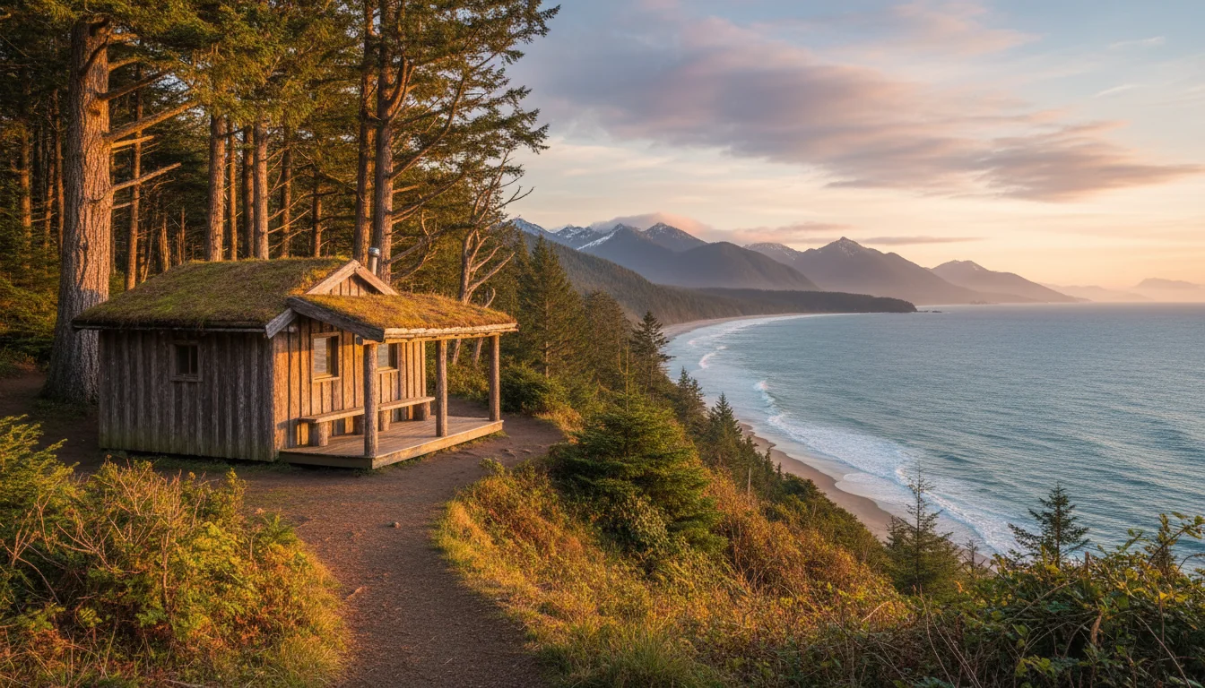
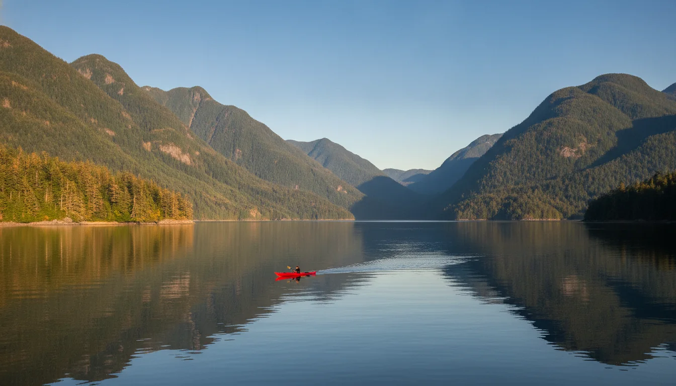
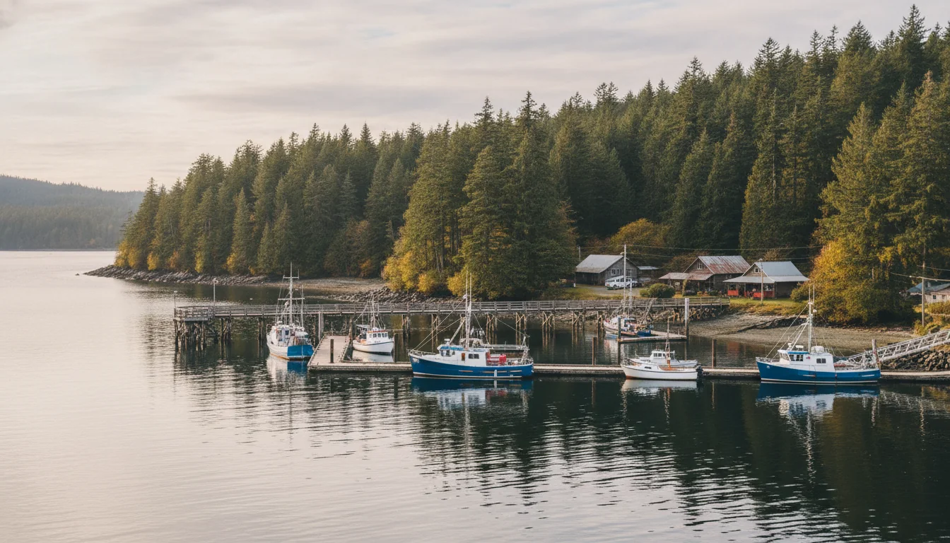
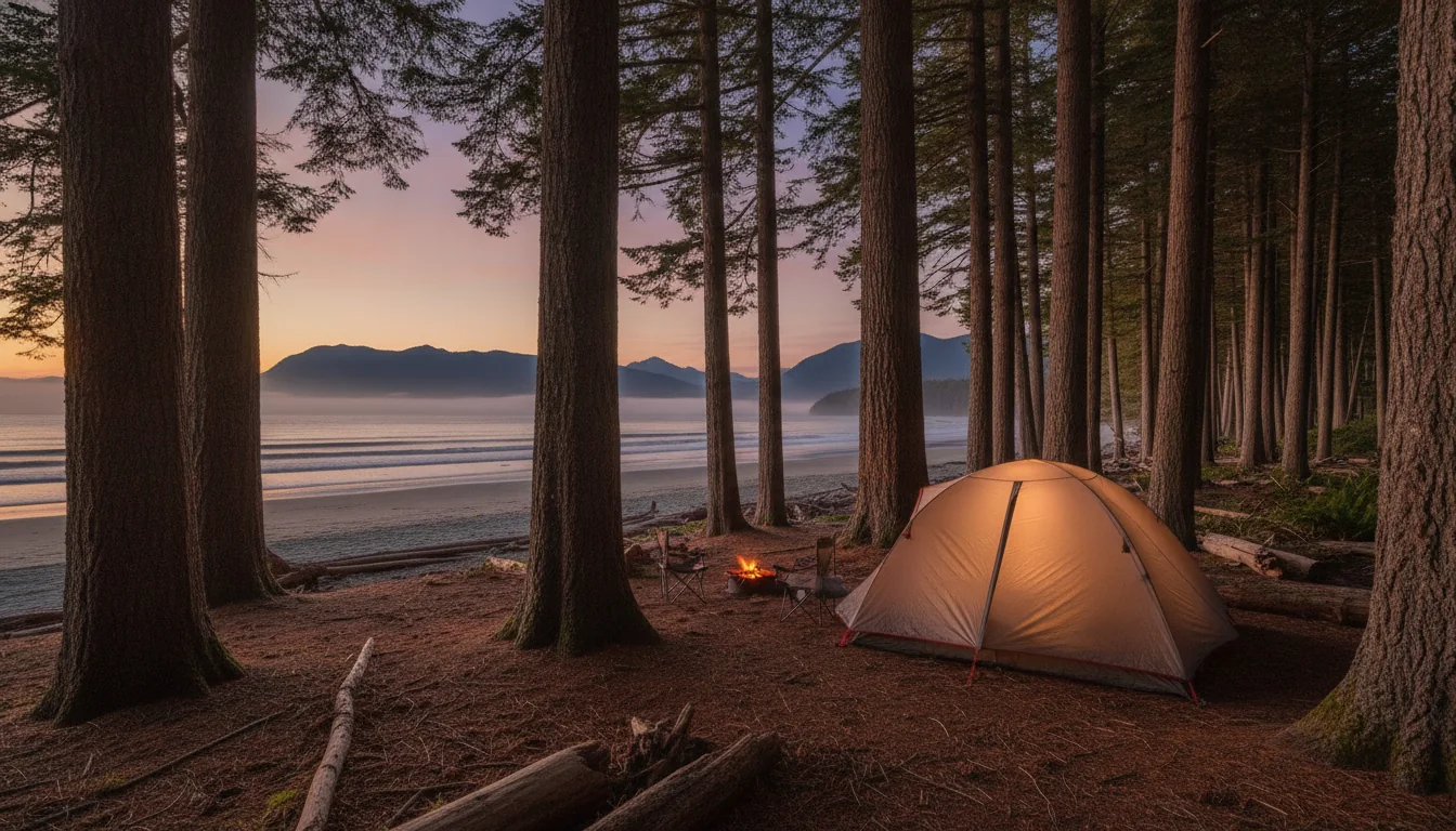
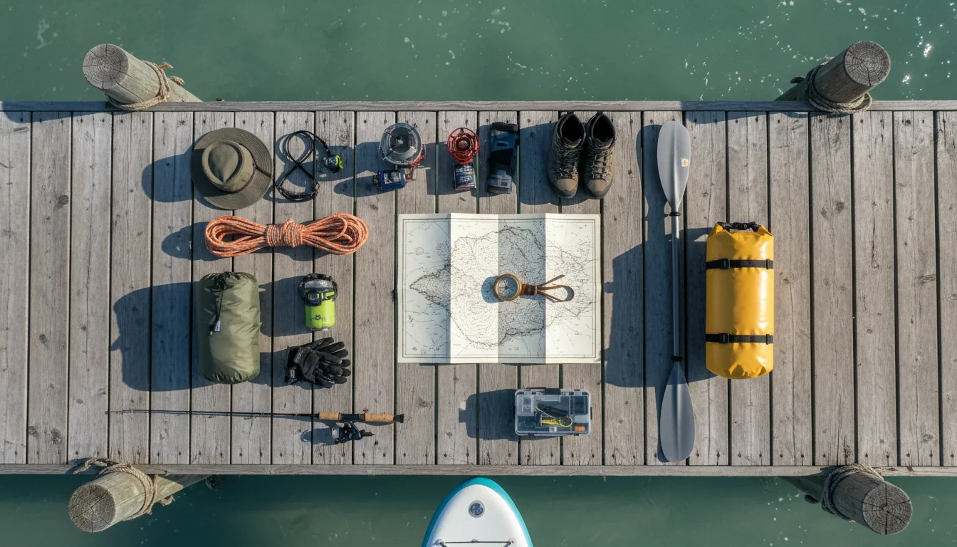
British Columbia's Sunshine Coast is a mainland peninsula you can only reach and cross by ferry — and there are two of them, run under opposite rules. The southern boat takes reservations. The northern one is first-come only, and BC Ferries says the two are not guaranteed to connect. That single asymmetry decides how every day on this road is planned, and it is where this issue begins.
The rest of this journal is evergreen; this box is not. The most perishable things on this route — the ferry fares, the northern ferry's schedule, the Skookumchuck viewing table and the campground seasons — change faster than any printed guide, and BC Ferries hides its live figures behind an online waiting room. Each item gives you the 60-second check as well as the snapshot. Trust the procedure, not our date stamp.
The Sunshine Coast looks, on a map, like it should connect to the rest of the Lower Mainland. It doesn't. It is a road-isolated mainland peninsula — you reach it, and you traverse it, only by ferry. Highway 101 runs its whole length, from the Langdale ferry terminal in the south to the literal end of the road at Lund in the north, but it is broken partway up by Jervis Inlet, and a second ferry bridges the gap. So the route is not a loop and not a through-road: it is a dead-end road split by a ferry. The order of the drive is fixed — Langdale → Gibsons → Roberts Creek → Sechelt → Halfmoon Bay → Earls Cove (ferry) → Saltery Bay → Powell River → Lund.
This is a ferry-hop continuation of No. 011, the Sea-to-Sky: both trips leave from the same Horseshoe Bay terminal, and where the Sea-to-Sky was about one road with no bypass, the Sunshine Coast is about two ferries with no substitute. The southern crossing you can reserve; the northern one you cannot, at all — and BC Ferries states plainly that the two are not scheduled to connect. Everything that matters on this route flows from that fact: which sailing you build the day around, where you sleep, how much slack you carry. Read §02 and §03 first, in that order, and the rest of the guide will make sense.
Two BC Ferries crossings carry you onto the coast and across the inlet that splits it, and they run under different rules. Understanding the difference is the single most important logistics fact in this issue — get it right and the trip plans itself; get it wrong and you sleep on the lower coast when you meant to be in Powell River.
BC Ferries Route 3, about 40 minutes across Howe Sound, roughly hourly in summer (first departure from Langdale around 6:20 a.m., last around 10:30 p.m. — ⚠️ those first/last times are from a search summary of the daily page, which sat behind the waiting room, so verify on bcferries.com). The usual vessel is the MV Queen of Surrey, though assignments can change.
Reservable — and heavily booked. You can hold space, change a sailing "for just $5 up to one hour before departure," and Langdale terminal is a ~10-minute drive from Gibsons. Summer 2026's two-ship schedule started early, on 11 June.
The northern crossing to Powell River, about 50 minutes and 9.5 nautical miles across Jervis Inlet — a scenic fjord run — with roughly 8 round trips a day. Saltery Bay terminal is a ~30-minute drive from the City of Powell River.
First-come, first-served only. No reservations, boarding by order of arrival, and check-in and ticket sales close 5 minutes before the sailing for both vehicles and foot passengers. In peak season, arrive early — a missed sailing is a couple of hours' wait for the next boat.
Sources disagree on the route number — BC Ferries pages variously call it Route 6 and Route 7. We use the terminal names, not the number, to avoid sending you to the wrong page.
The whole route hinges on two boats. A single cancellation can reshape a day, and the northern one can't be reserved around — so build slack, and carry a fallback for a night on the lower coast if the last Earls Cove sailing gets away from you.
This is the section where we print the fewest hard numbers on purpose. BC Ferries keeps its live fares and schedules behind an online waiting room and inside a fare guide that changed on 16 June 2026, so a confident dollar figure here would be exactly the kind of thing that goes stale between writing and reading. Here is what's firm, what's hedged, and the strategy that survives a fare change.
| Fare type (Route 3, car + driver) | Figure seen | How firm is it? |
|---|---|---|
| At Terminal — walk-up, no booking | ~$74.85 | ⚠️ From BC Ferries' own Saver page, but the fare guide changed 16 June — re-check |
| Prepaid — book ahead, pay in full | ~$74.90 | ⚠️ Saver-page figure; treat as indicative, not a quote |
| Saver — advance, limited | from $39 (~$39–$59) | ✅ "from $39" is firm; $0 on select under-height Langdale→HSB return sailings |
| Reservation Only | $20 booking fee + balance at terminal | ✅ The $20 add-on is firm; total lands around $91 |
| Foot passenger, adult (12+) | ~$14.55 return | ⚠️ Search-summary only, not read directly — verify; child/senior not captured |
Source honesty: the At-Terminal / Prepaid / Saver figures above come from BC Ferries' non-queued Saver page and should be close to live, but the machine-readable fare index and the daily schedules sat behind the waiting room. The northern Earls Cove–Saltery Bay vehicle fare we did not capture at all; the adult foot-passenger figure often quoted for it (~$15.40 return) carries an April 2025 effective date that predates the April 2026 increase, so it is almost certainly higher now — do not print it without re-checking.
On the Sunshine Coast routes, the round-trip fare is collected on the OUTBOUND leg — you pay a return fare leaving Horseshoe Bay, and again leaving Earls Cove. The eastbound and southbound return sailings collect nothing. That's why the passenger figure you'll see is a "return" number, and it's why the trip home is about timing, not cost. Tell everyone in the vehicle so nobody panics at the return terminal expecting to pay.
Ten minutes from the Langdale terminal, Gibsons Landing is where a TV café became a landmark and a 434-step staircase gives you the closest big view to the ferry. Down the road, Roberts Creek repaints a giant mandala every summer. This is the easy, walkable coast before the second ferry.
Molly's Reach was the fictional café in The Beachcombers, the CBC series that ran about 19 years from the early 1970s, set in real Gibsons Landing. The building today is a working restaurant and the town's de facto landmark. The Gibsons Seawalk is 1.2 km of paved and compacted-gravel waterfront from Armours Beach to the government dock, past marina, pub and waterfront park. Gibsons Landing has also stood in on screen for the recent crime drama Murder in a Small Town.
Molly's Reach operating hours and menu are business specifics we don't record — check locally.
Only about 3 km from the Langdale terminal — the closest big viewpoint to the boat. A 150-acre park with 5+ km of trails, where a 434-step staircase climbs to three viewpoints in roughly 40–60 minutes, over Gibsons Harbour and the Howe Sound islands — Keats, Gambier, Bowen.
Step count and parking details are from tourism and hiking sources, not a park-authority page — treat them as indicative.

Roberts Creek is the coast's "hippie heart." At the foot of Roberts Creek Road, by the pier, the community repaints a giant pavement mandala every summer — a tradition begun in 1997 (painting over anti-hippie graffiti) that now draws 600+ volunteer painters a year.
It's repainted on a specific summer date each year — historically late July, around Roberts Creek Daze — so the design changes annually and the paint fades. Time it if the mandala is your reason to stop, and don't assume this year's is already down.
The marquee natural spectacle on the coast is a tidal rapid near Egmont — and it is the only stop on this whole trip that gives you nothing at all if you arrive at the wrong hour. Skookumchuck means "strong water," and it only performs near maximum flood or ebb. This section is about the tide clock, not the trail.
Use the 2026 table only. It was regenerated because BC now observes permanent, year-round daylight saving time, so any older table runs an hour off. The PDF we could reach parsed as an image — download the current-year version and cross-check against a tide table (CHS "The Narrows" station 04296) before you drive to Egmont.
A 123-hectare Class-A park (established 1957 at 40.5 ha, since expanded) near Egmont, at the top of the lower coast close to Earls Cove. The walk is one trail, measured two ways: BC Parks gives 4 km (about one hour) to the Roland Point viewing area — which makes it about 8 km round trip, roughly an hour each way, the figure tourism and hiking sources quote. Minimal elevation, a few rough sections. Facilities are a pit toilet at the parking area, and no camping.
Budget the ~1-hour walk each way into your tide timing — leave the trailhead with time to reach Roland or North Point before the listed peak, not at it.
These are the Sechelt Rapids, where tidewater is forced through the narrows connecting Sechelt and Jervis Inlets. BC Parks: roughly 200 billion gallons move through on each tide, the water-level difference across the rapids "sometimes exceeds two metres" (a tourism source phrases it as "over 9 ft"), and currents can exceed 30 km/h (one source says 25 km/h — sources differ, so we give the range).
It draws extreme kayakers and surfers, and it is genuinely dangerous water. BC Parks, verbatim: "Only very experienced paddlers should attempt the rapids at high tide." For everyone else this is a viewing sight from the marked points — not a swimming, wading or small-craft spot near the peak.
The upper coast holds a genuine world-class trail with a distinction no other Canadian trail can claim: 180 kilometres, fourteen free huts, no fees, no reservations. It ends at the Saltery Bay ferry, so a road-tripper and a thru-hiker converge at the same terminal. For our audience the trick is knowing you can sample it in day-hike chunks.
Be honest with yourself: the SCT is a backcountry hike, not a drive. The full thru-hike is a serious 10-to-14-day undertaking with its own logistics — access roads, water sources, hut capacities — that sit outside a road-trip itinerary.
The useful framing for this trip is "a world-class trail you can sample in day-hike chunks from Powell River," reached from logging-road access points, plus the huts as a distinctive free-shelter story worth knowing exists. If a multi-day hut-to-hut section is your goal, treat it as its own planned trip and lean on qPAWS' own trail resources — the hut count is "14 with more planned," so the number grows.
The fjord geography that isolates this coast also gives it some of the calmest paddling and best cold-water diving in the province — including a scuttled destroyer escort in Sechelt Inlet. It also attracts a famous piece of diving folklore we'll flag rather than repeat.
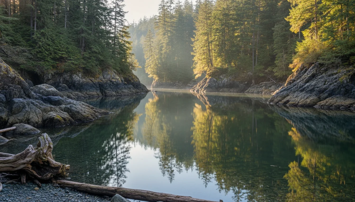
~20 km north of Sechelt, prized by canoeists and kayakers for calm, sheltered water — the fjord geography blocks the big waves. Free marine-access campsites are dotted along the inlet, each with cleared tent pads, a pit toilet, a bear cache and a fire ring, but no drinking water and no firewood. Tzoonie is the farthest site (up to ~10 tents), and there's a waterfall at Thornhill/Misery Creek. Launch from Porpoise Bay Provincial Park or Tillicum Bay Marina near Tuwanek.
Site counts vary by source — "9 marine campgrounds" versus "7 camping areas, ~60 walk-in sites" — so we give the range rather than a false-precise number.
~16 km west of Sechelt, off Brooks Road near Halfmoon Bay: about 2 km each way (~4 km round trip, ~40 min each way) on gravel path and boardwalk over a wetland, to a hurricane-hole cove once used by Prohibition-era rum-runners. Resident beavers, good birding, a pit toilet at the parking area and no other facilities.

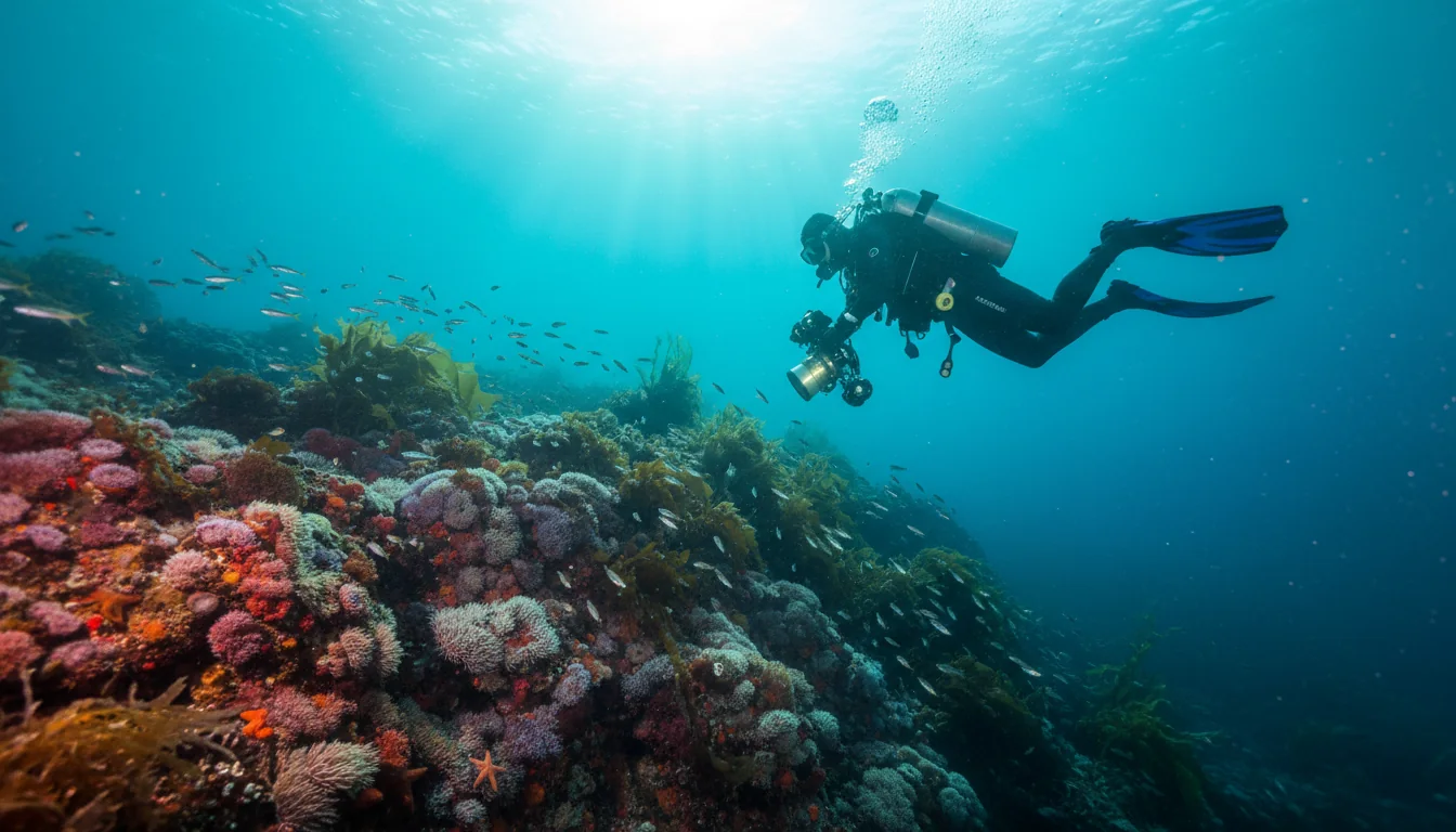
Centred on Egmont and Sechelt Inlet, the Sunshine Coast is a renowned cold-water dive destination. The signature wreck is the HMCS Chaudiere — a retired Canadian destroyer escort, about 366 ft, scuttled by the Artificial Reef Society of BC off Kunechin Point, resting on its port side in roughly 100–140 ft of water and encrusted in giant plumose anemones. Tuwanek Point is an accessible shore dive, day and night — octopus, wolf eels, seals, sea lions, strong visibility.
Depths and wreck details are tourism and dive-media sourced, not a government page. This is expert, technical, cold-water territory — plan for training and proper cold-water gear.
Powell River is the main town on the upper coast and the last full-service stop on the route. It holds one of Canada's few intact planned single-industry towns, a breakwater made of WWI-era concrete ships you can see from shore, and a reconciliation story that is very much still being written.
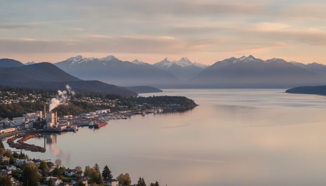
The Powell River Historic Townsite was designated a National Historic District in 1995 — 400+ original buildings inside the 1910 town plan, one of Canada's few intact planned single-industry towns. The mill made its first paper in 1912 and was once the largest pulp-and-paper mill in the world.
The Hulks — the Powell River Floating Breakwater — is a semicircle of WWI/WWII-era concrete ships (including the SS Peralta, the oldest American-built concrete vessel still afloat) anchored to shelter the old log pond, with about ten hulks remaining afloat. A genuinely unique, photogenic sight, visible from shore.
The Townsite sits on Tla'amin land. The Nation was forcibly removed from its village in the late 1880s, before the mill was built. In March 2025, the Tla'amin Nation and Domtar (the former Paper Excellence) reached an agreement to reclaim a large portion of the mill land.
This is an active reconciliation story, and this guide reports it factually without taking a position. Check the current status at the time you travel — the situation is moving, and a stale line here would do the story a disservice.
North of Powell River the road runs out at Lund, but not before an unusually flat, fully accessible 13 km lake circuit, the gateway to BC's largest marine park, and a white-sand island reached by water taxi. It's also where the coast's most beloved piece of folklore lives — so here it is, carefully debunked.
North of Powell River, a 13 km wheelchair-accessible loop runs entirely around the lake — crushed-limestone surface, bridges and boardwalks, an accessible fishing dock, and accessible cabins and pit toilets spaced along the trail, built by the Model Community Society for People with Disabilities.
A flat, fully accessible 13 km lake circuit is genuinely rare, and it's a standout inclusivity story on this route. Also swimming, cycling, canoeing (electric or ≤10 hp), and drive-in and walk-in camping (§10).
Boat- or floatplane-access only — the nearest road ends at Lund, about 32 km (20 mi) south. The sound's enclosed geography produces unusually warm summer surface water, ideal for swimming and paddling, and it's a world-class sea-kayaking destination; key anchorages are Prideaux Haven, Tenedos Bay and Grace Harbour.
Folklore flag: the "might have the warmest water north of Baja/Mexico" line is tourism shorthand, not an oceanographic measurement — the water really is warm for swimming, but treat the ranking as marketing.

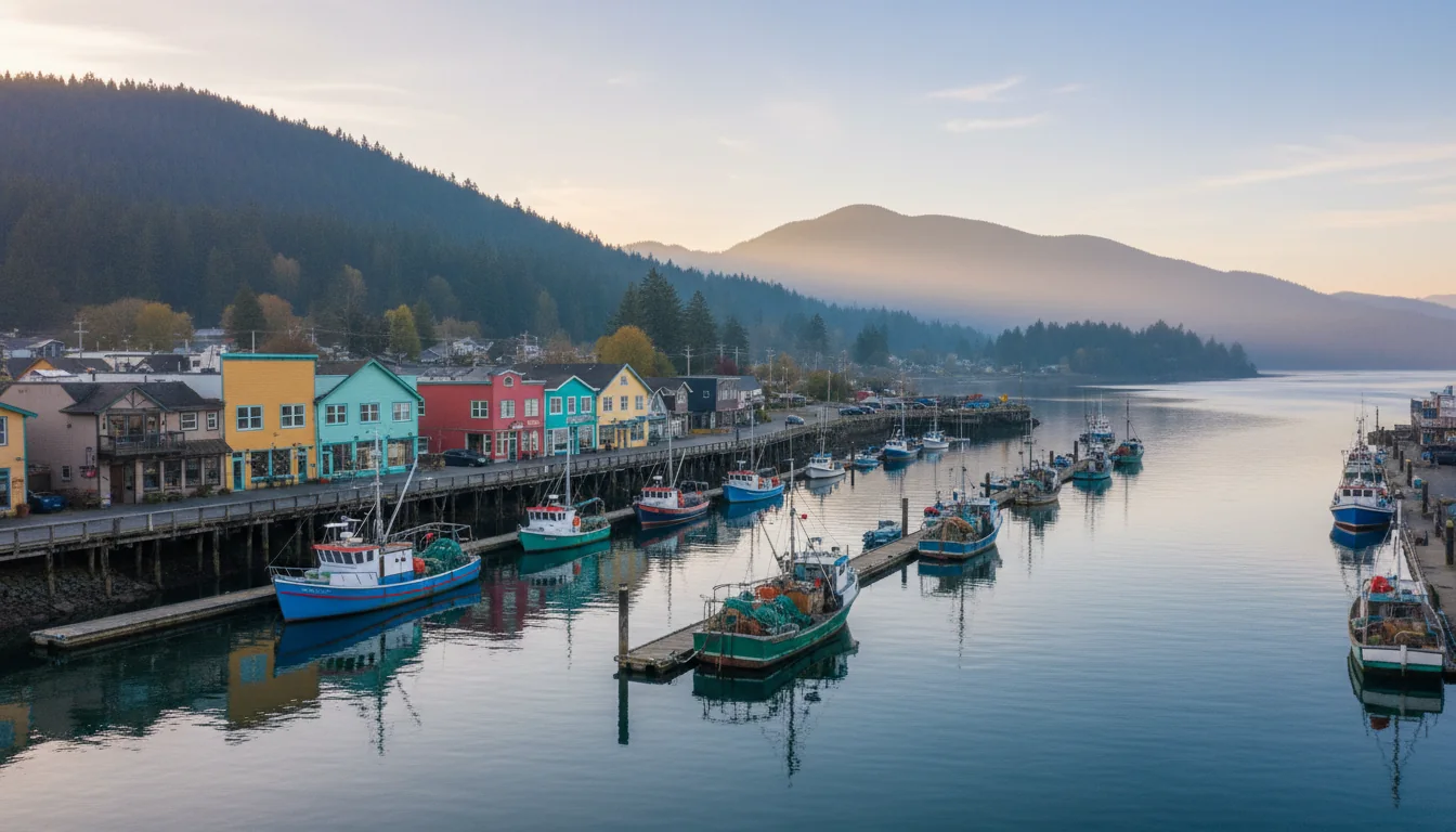
Lund is the northern terminus of Highway 101 — the literal "end of the road," a "Mile 0" marker, 26 km north of Powell River. It's a historic fishing village founded in 1889 by the Thulin brothers (named for Lund, Sweden), with a general store, restaurants, the historic Lund Hotel (est. 1905), and a public boat ramp with a water taxi to Savary Island. Beyond Lund the highway simply stops.
Five BC Parks campgrounds anchor this route, spread the length of it, and they split between reservable and first-come in a pattern that mirrors the ferries exactly: reserve the south, gamble the north. One thing unites all five — none of them has an electrical, water or sewer hookup.
| Park | Location | Sites & season | Book & fee | The thing to know |
|---|---|---|---|---|
| Porpoise Bay | 4 km N of Sechelt, off Hwy 101 | 84 sites (+ group, + cyclist/kayaker site). ~March–October | Reservable + some first-come. ~$29 ⚠️ (walk/cycle-in $15) | Flush + pit toilets, drinking water. The launch point for Sechelt Inlet paddling |
| Roberts Creek | 14 km W of Gibsons / 12 km S of Sechelt | 21 sites. ⚠️ season not confirmed | 🔴 Cash only — the only accepted payment. $20; sani-station $5 | Reservation-vs-first-come split not confirmed on a primary page — verify |
| Saltery Bay | 1 km N of the Saltery Bay ferry, 27 km S of Powell River | 42 treed sites. mid-May – mid-Sept | 21 of 42 reservable, rest first-come | Water, firewood, sani-station, pit toilets, boat launch. Most sites fit rigs to ~32 ft, all back-in. A 3 m bronze mermaid statue is an underwater dive draw |
| Inland Lake | Near Powell River | 22 drive-in sites (no doubles/pull-throughs). mid-May – mid-Sept | 13 reservable May 15 – Sept 14, rest first-come. $18 ($9 BC senior, off-season) | Wheelchair-accessible; the 13 km accessible loop trail circles the lake (§09) |
| Okeover Arm | Near Lund, gateway to Desolation Sound | 14 seasonal sites + 4 small year-round | 🔴 First-come, first-served ONLY. $18 | Small, tight sites on the water; public boat ramp. The staging point for Desolation Sound |
Source honesty: BC Parks' individual park pages are JavaScript-rendered and their facility/fee tables did not load for us, so several figures above (the $29 Porpoise Bay fee especially, and Roberts Creek's season and reservation split) come from secondary summaries and need a primary-source check on camping.bcparks.ca before you rely on them. Base fees, reservable-site counts and season windows are all adjusted annually — re-check each spring.
The Sunshine Coast is a dead-end road split by a ferry, and everything north of Sechelt gets progressively more remote until the highway simply stops at Lund. Two towns do the heavy lifting for fuel, groceries and propane — and if you need RV hookups, none of the provincial parks can help you.
This is a dead-end road split by a ferry, not a loop. Everything north of Sechelt is progressively more remote, and there is no bailing out to another highway. The standing instruction: top off fuel, water and propane in Sechelt on the way up (south) and again in Powell River on the northern coast.
We did not research specific propane vendors, and we did not research cellular coverage for this route — so this guide makes no coverage claim. Assume patchy signal in the rural stretches and up the inlets, carry a paper map, and don't rely on a data connection at a first-come ferry terminal or a marine campsite.
The coast sits partly in Vancouver Island's rain shadow, which makes it genuinely drier than much of coastal BC — hence the name. The usable camping window is essentially mid-May through mid-October, and it's the same window when the ferries and campgrounds are busiest.
Warm and dry, with highs commonly around 25–30 °C on hot spells, up to ~10 hours of sun a day, and relatively low rainfall (~64–77 mm/month). Cooler at night. This is the season to camp — and the season the ferries and campgrounds are busiest.
Cold-ish and very wet — averages around 2–3 °C, heavy rain (~280–336 mm/month), and Powell River averaging roughly 1,874 mm a year, wettest in November. Snow is rare at sea level but present in the nearby mountains.
BC Ferries runs extra shoulder-season sailings, signalling real spring and fall demand. But the northern campgrounds (Saltery Bay, Inland Lake) run only mid-May to mid-September — outside that, options shrink to Porpoise Bay (open into October) and first-come sites.
The hazards on this route are different from a mountain corridor's. The biggest single vulnerability is the thing that makes the coast special — you depend on two ferries, one of which you can't reserve. After that it's tidal water, remoteness, and standard coastal wildlife sense.
The whole route hinges on two ferries, and a cancellation — weather, mechanical, crewing — can strand a plan. The northern boat can't be reserved, so build slack and check live status before you rely on a sailing. North of Sechelt, services thin and Lund is a dead end: carry extra fuel, water and a paper map. Cell coverage is patchy in the rural stretches and up the inlets — we did not research carrier coverage, so don't rely on a signal and don't trust any coverage claim you can't source.
The Sunshine Coast carries a handful of beloved claims that get repeated as fact in every brochure. They're good stories, and two of them are attached to real, genuinely special places — but none is verified, so here they are, flagged rather than laundered. This is the "we won't pass on a number we don't believe" section.
The claim: Lund is the northern end of the Pan-American Highway, ~15,000 km to Chile. The reality: it's a BC tourism line, not an official designation — the Pan-American Highway formally begins in Nuevo Laredo, Mexico, and no U.S. road outside Alaska and no Canadian road is officially part of it. What's true and safe: Lund is the northern terminus of Highway 101, "Mile 0," the end of the road. Use that framing.
The claim: Jacques Cousteau ranked the coast's diving second only to the Red Sea. The reality: it's a ubiquitous, long-standing attribution that we could not source to anything primary. Present it as "often credited to Cousteau," not as fact. The diving — HMCS Chaudiere, Tuwanek Point, the whole Egmont/Sechelt Inlet cold-water scene (§07) — is world-class on its own merits and doesn't need the quote.
The claim attaches to both Desolation Sound and Savary Island: the warmest water north of Baja/Mexico. The reality: it's tourism marketing phrasing, not a measured claim. That said, the enclosed geography of the sound really does produce unusually warm summer surface water — so the experience is real even if the ranking isn't. Swim happily; just don't quote the superlative as oceanography.
Most of this is a normal coastal-BC loadout. What's different here is driven by four facts: you depend on two ferries and can't reserve one of them, the best natural sight runs on a tide clock, several campgrounds want cash, and none of the provincial parks has a hookup.
Built around the constraints rather than a wish list: which ferry you can reserve and which you can't, where the reservable beds are, where services thin out, and the fact that the road simply ends at Lund. Each shape names what you must book and what will strand it.
Run it the night before. Tap each item as it's done — these are the twelve things specific to a ferry-split, tide-timed, cash-in-places coast that a general BC habit will skip.
Every guide has these. Most don't print them. This is the consolidated list of what we could not stand up, what we deliberately hedged, and which "facts" are really folklore — because on a route where the exact ferry fare is genuinely unknowable until you run the calculator, a confident wrong number costs more than an admitted gap.
Everything above, condensed into a print-ready PDF built for the glovebox — for a coast you reach and cross only by ferry, where one of the two boats can't be reserved and the fares hide behind a waiting room. The two-ferry spine and the order to book it, the fare-collection quirk, the Skookumchuck tide clock, the five campgrounds and which take cash, the diving, the folklore worth not repeating, and the honest list of what nobody publishes — on paper that works where the signal doesn't.
Every Trekkr Trail Journal is built like this one: custom logistics, honest trail beta, the camping and access detail, kit lists and the local knowledge that turns a good trip into the one your crew talks about for years — including, always, a plain list of what we could not confirm. New destinations drop all season long; this issue ferry-hops off the same Horseshoe Bay terminal as our Sea-to-Sky guide.
Unlock the Trail Journal Library