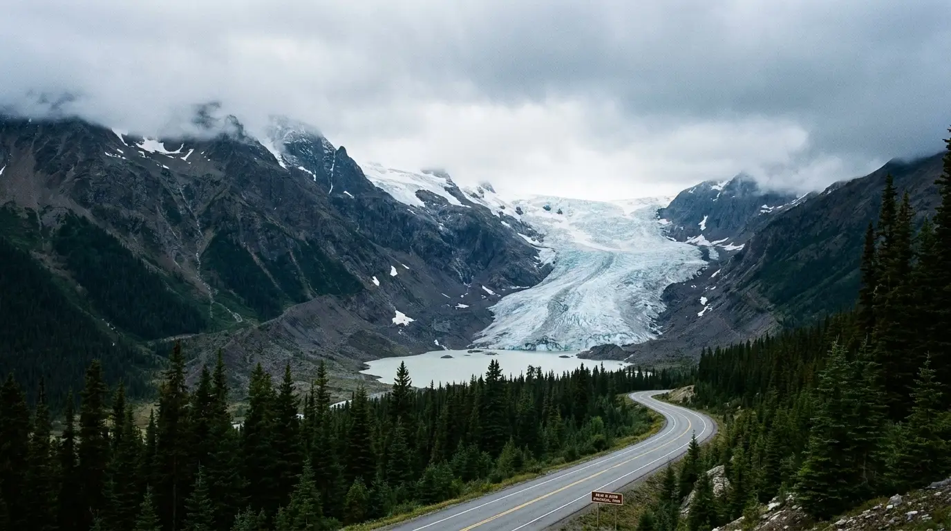
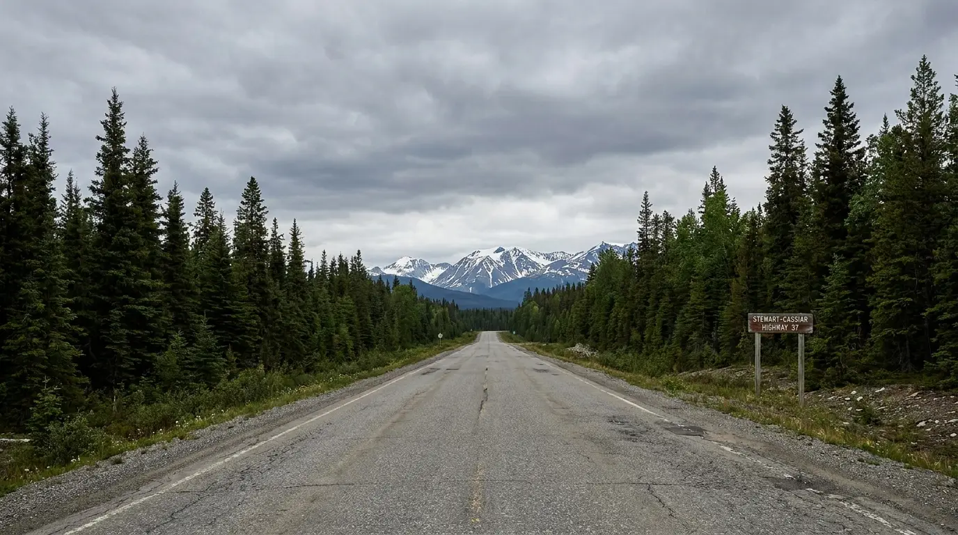
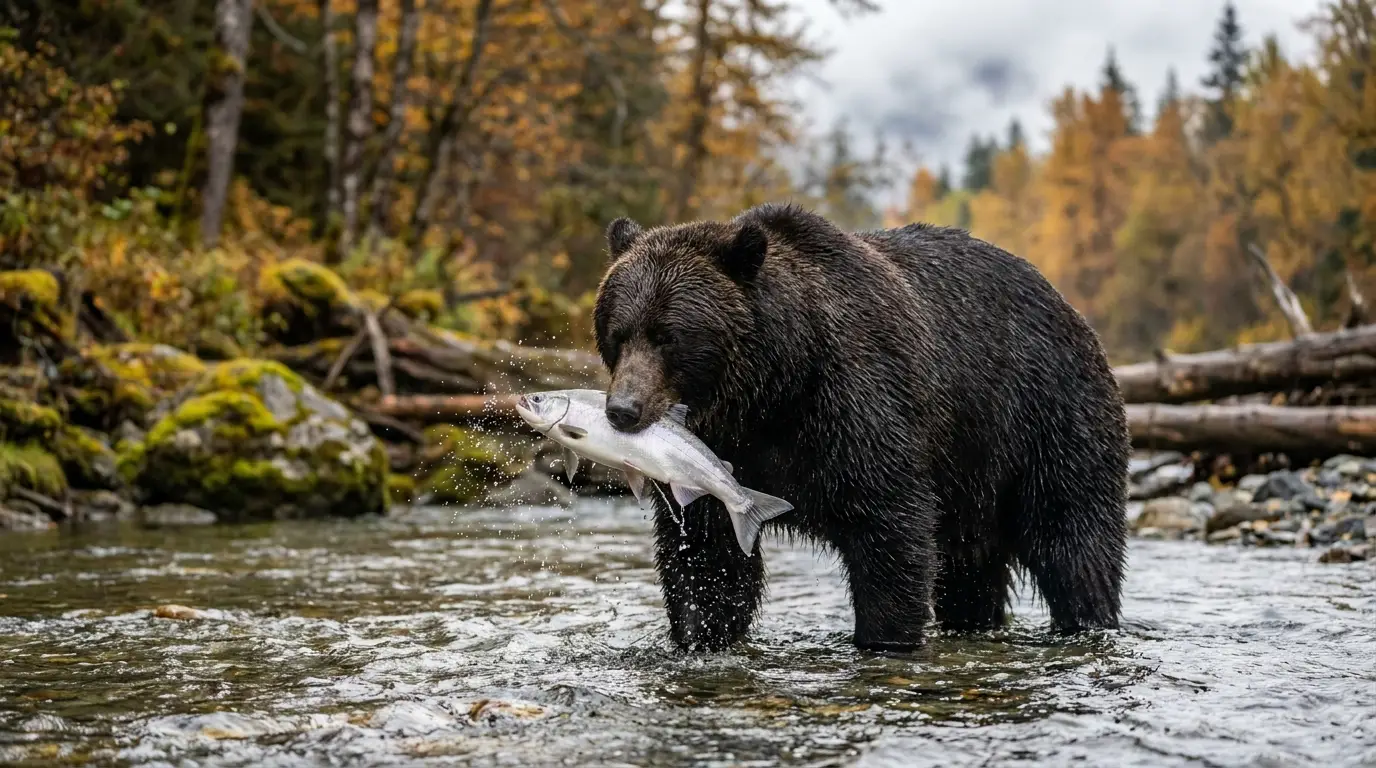
British Columbia's wilder road to the Yukon runs some 720 km through grizzly country — past Gitxsan totem poles older than Canada, a glacier that spills toward the road, and a creek where bears fish below a boardwalk in a town you reach through an unstaffed US border. It is nearly all paved now and genuinely spectacular. But the thing that decides your day here is not scenery — it is fuel, season and distance. Plan those, respect the bears, and this is one of the great drives in the North.
The rest of this journal is evergreen; this box is not. On the Stewart-Cassiar two things decide whether your plan works before you see a single glacier — how you manage fuel and the short northern season (§02), and the Stewart/Hyder US border crossing that gates Salmon Glacier and the Fish Creek bears (§03). Both change with the season and the year. Everything below is dated to the day we checked it. Trust the live sources, not our date stamp.
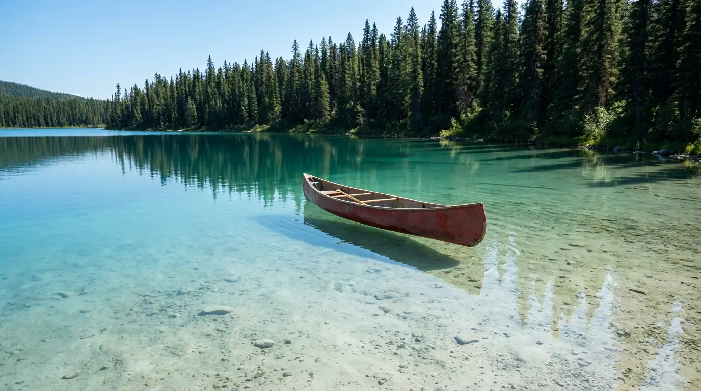
The Stewart-Cassiar — Highway 37 — is British Columbia's other road to the Yukon and Alaska, the wilder alternative to the Alaska Highway proper. It runs roughly 720 km from the Yellowhead (Highway 16) near Kitwanga, north through boreal forest and past big lakes and glacier-hung peaks, to meet the Alaska Highway just west of Watson Lake. Along it sit some of the North's headline sights: standing Gitxsan totem poles at Gitwangak and Gitanyow, the Bear and Salmon glaciers off the Stewart/Hyder spur, grizzlies fishing at Fish Creek, and the improbable turquoise water of Boya Lake. It is almost all paved now and much easier than its gravel-road reputation — but it is still a place where distance, fuel and season, not scenery, decide how your days go.
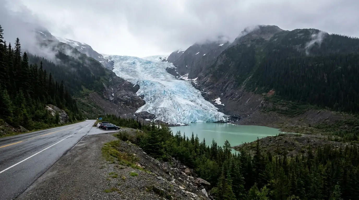
Totem poles older than the country, Bear Glacier from the roadside, the drive above Salmon Glacier, grizzlies at Fish Creek, and Boya Lake's aquamarine water — headline North, on one tank-by-tank road (§03, §04, §05).
~720 km end to end, with the longest fuel gap reported around 240–270 km (Dease Lake to the Yukon). Light traffic, few services, and no quick help if something breaks (§06, §08).
Much of this corridor is a summer operation — many lodges, fuel stops and all three park campgrounds run roughly mid-May to late September. Outside that, plan for closures (§07, §09).
If you take one thing from this issue, take this. On the Stewart-Cassiar the limiting factor is not your legs or a reservation — it is the fuel between you and the next town, and whether that station is open this month. Services are real but sparse and mostly seasonal, hours are short, and a single closed pump can strand you a long way from help. Here is the reported layout for 2026; confirm the specific fuel points and hours before you go, because they change year to year and a wrong assumption out here is expensive.
| Fuel / service point | Rough position on Hwy 37* | Reported services | The catch |
|---|---|---|---|
| Kitwanga south end · Hwy 16 junction |
km 0 (Yellowhead junction) | Fuel, store, ATM, dump station reported at the junction | Your last big-highway services before the corridor — top up here |
| Meziadin Junction | ~km 155 | Fuel reported at the junction; Hwy 37A to Stewart peels off here | Small and seasonal — don't assume 24-hour |
| Bell II | ~km 248 | Gas, diesel, propane, café, lodge, camping; fuel reported ~7am–8pm | Restaurant service has been limited to café/takeout — confirm |
| Tatogga / Iskut | ~km 380–400 | Fuel at Tatogga Lake Resort; lodges and RV stops around Iskut | Seasonal, limited hours — the run north of here thins out |
| Dease Lake | ~km 488 | The one real town: fuel, groceries, lodging, minor mechanical, Telegraph Creek turnoff | Fill here. Next reliable fuel is the Yukon, ~240–270 km on |
| Jade City | ~km 590 | Jade store; seasonal — confirm whether fuel is available | A stop, not a guaranteed fuel plan — don't count on it |
| Alaska Highway junction north end · near Watson Lake, YT |
~km 720 | Full services at/near Watson Lake, just east on the Alaska Highway | This is the far side of the big fuel gap from Dease Lake |
*Kilometre positions are approximate and compiled from BC traveller information and travel guides; treat them as planning estimates, not signed markers. Which stations are open, and their hours, change season to season — confirm current fuel points before you leave pavement.
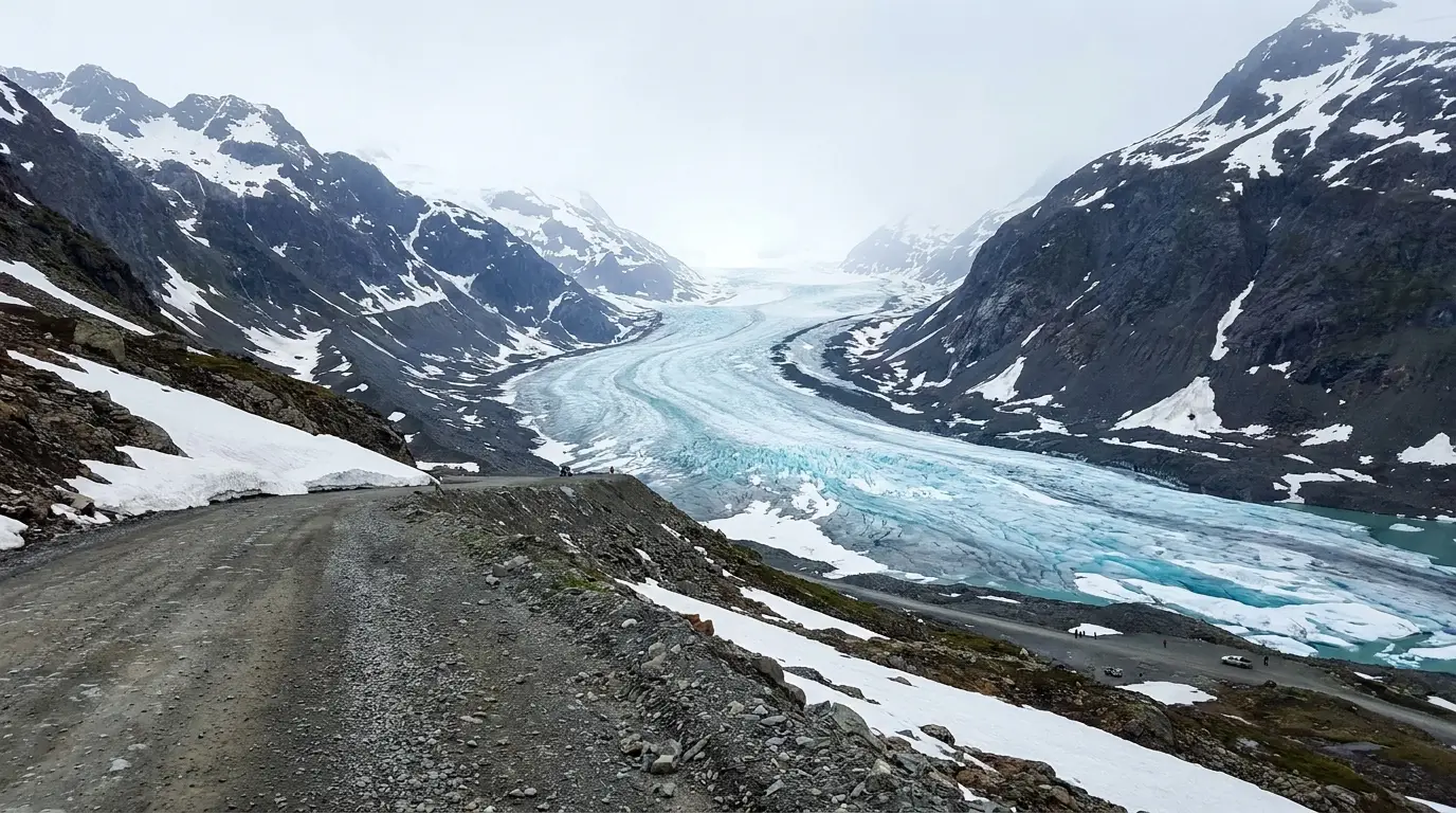
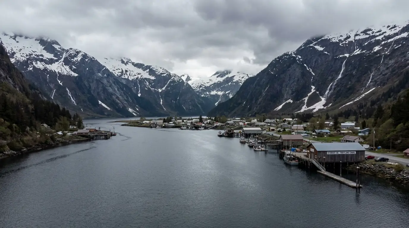
The best single detour on the route peels west at Meziadin Junction onto Highway 37A, the Glacier Highway — about 65 km down to Stewart, BC, and three more into Hyder, Alaska. On the way you pass Bear Glacier almost from the driver's seat. From Hyder you can watch bears fish at Fish Creek and drive the rough road high above Salmon Glacier. The twist is the border: you enter the US unstaffed, but you need a passport to get back into Canada. Budget most of a day, and plan around the crossing.
Hyder is the southernmost Alaska town reachable by road, tucked at the head of the Portland Canal against Stewart. You can drive in from Stewart without meeting a US border officer — the Hyder side is unstaffed. But coming back, you pass Canadian border services, and you need a valid passport (or accepted travel document) for everyone aboard.
Because Salmon Glacier and Fish Creek are both on the Hyder side, every visit involves the return crossing. Know the border hours, carry documents, and don't plan to come back after it closes for the night.
Stewart (~pop. a few hundred) sits at the head of the Portland Canal, a long saltwater fjord, ringed by peaks and waterfalls. It has fuel, lodging, food, a museum and campgrounds, and is the last real services before Hyder. It is also a base for the town's famous glacier and bear day-trips.
Fuel and stock up here before the border. Some businesses are seasonal, so in the shoulder months confirm what's open. Exact hours and offerings change — check current listings.

From Hyder the Granduc Road climbs past Fish Creek up to a summit viewpoint that looks straight down the length of Salmon Glacier — one of the largest road-accessible glaciers in the world, and a genuinely jaw-dropping sight.
It is an unpaved, active industrial mountain road — rough, exposed, snow-lined into summer, with no services and no cell signal. A high-clearance vehicle is the comfortable choice; passenger cars make it in good conditions. Generally a summer-only drive — confirm it is open and clear in Stewart/Hyder before you commit.
Between the tanks, the Stewart-Cassiar strings together a remarkable set of stops. The distances below are approximate — compiled from BC traveller information and travel guides, not signed markers — so treat every kilometre figure as a planning estimate. What matters is the order and the character of each stop, so you know what's worth the brake and what's just a name on the map.
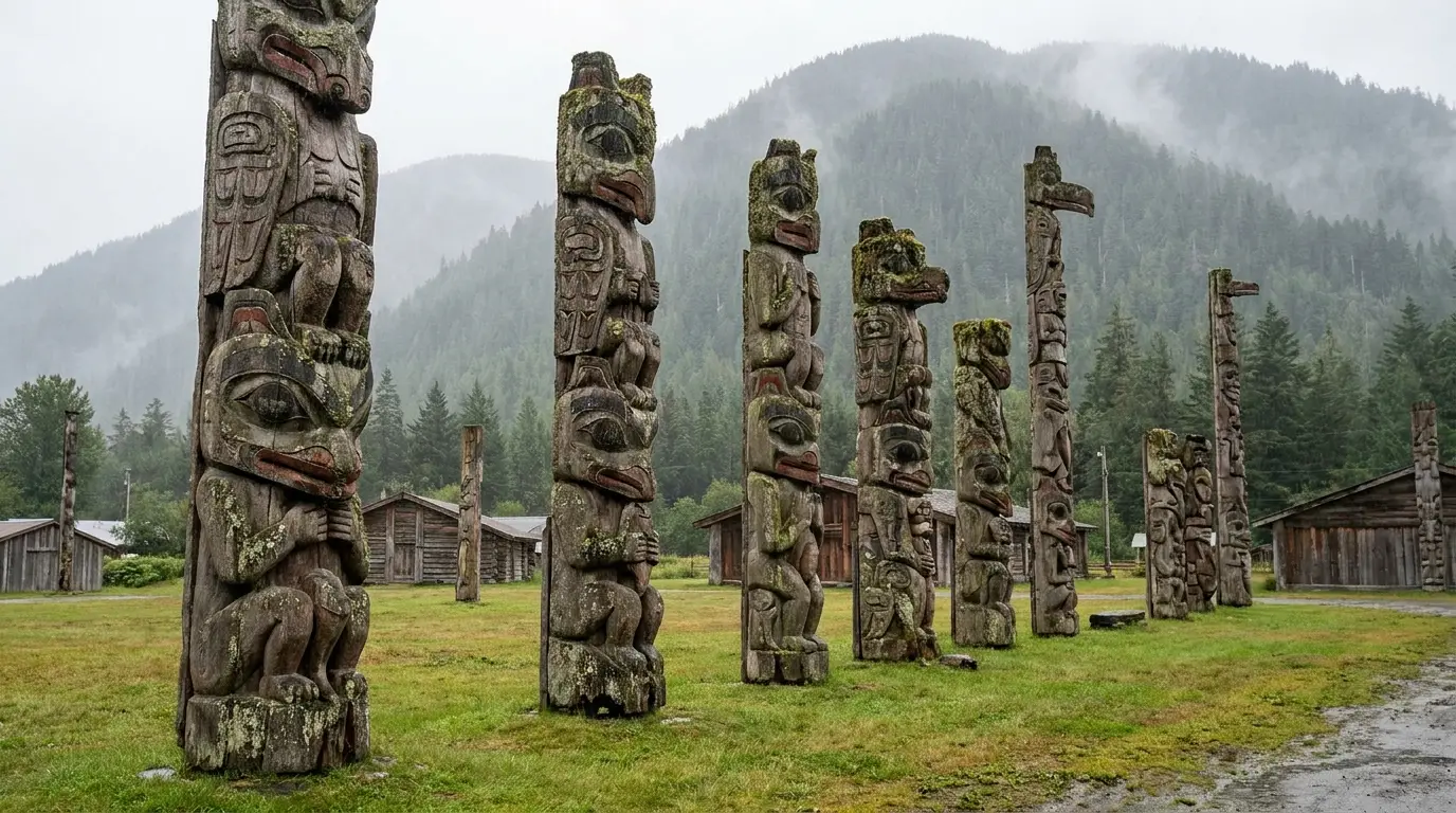
Right by the Highway 16 junction: standing Gitxsan totem poles, the historic St. Paul's Anglican Church (1893) with its original bell, and nearby Gitwangak Battle Hill National Historic Site, a fortified hilltop village site from the late 1700s–early 1800s. A gentle, meaningful first hour on the route.
A living community and a national historic site — park where signed, keep respectful distance from homes, and read the interpretive panels.
A short drive north up Highway 37, the Gitanyow village holds one of the oldest and largest collections of standing totem poles in British Columbia — carved cedar poles in a grassy setting below the mountains. Interpretive signage tells some of the stories; the community stewards the site.
As at Gitwangak, this is a living Gitxsan community. Follow posted guidance, don't enter private areas, and consider the small locally-run offerings.
Around km 155: the junction where Highway 37A drops to Stewart/Hyder (§03), fuel, and the well-regarded Meziadin Lake Provincial Park campground just south (§07). Nearby, the Meziadin Fish Ladder can offer salmon — and sometimes bear — viewing in late summer.
Decision point for the Stewart side-trip. Fuel here is seasonal and small — top up but don't assume 24-hour service.
Around km 248: Bell II Lodge, a full-service stop with fuel (gas, diesel, propane), a café, log chalets, camping, showers, laundry and even a helipad — a welcome oasis in a long stretch, and a common overnight or fuel-and-coffee break.
A private resort, mostly seasonal in its full offering; the café and fuel have run more of the year. Confirm what's open before relying on a hot meal.
Roughly km 380–400: the Iskut area is a cluster of lakes, lodges and RV stops — Tatogga Lake Resort (fuel, cabins, camping, restaurant), lakeside campgrounds, and access to Todagin Stone-sheep country and the Iskut River valley. The scenery opens up around here.
Fuel at Tatogga is a useful mid-north top-up. Everything here is seasonal and remote — hours are limited, so don't arrive at dusk expecting a full menu.
Around km 488: the largest community on the highway, with fuel, groceries, lodging and minor mechanical help — and the Telegraph Creek Road turnoff, a rough, steep, ~110+ km side road down to the historic Stikine River village of Telegraph Creek (a serious drive in its own right). Gnat Pass, the highway's high point (~1,240 m / ~4,070 ft), sits just south.
Fill up here. Next reliable fuel is the Yukon, ~240–270 km north. Telegraph Creek Road is narrow, steep and not for large rigs or the timid — confirm conditions first.
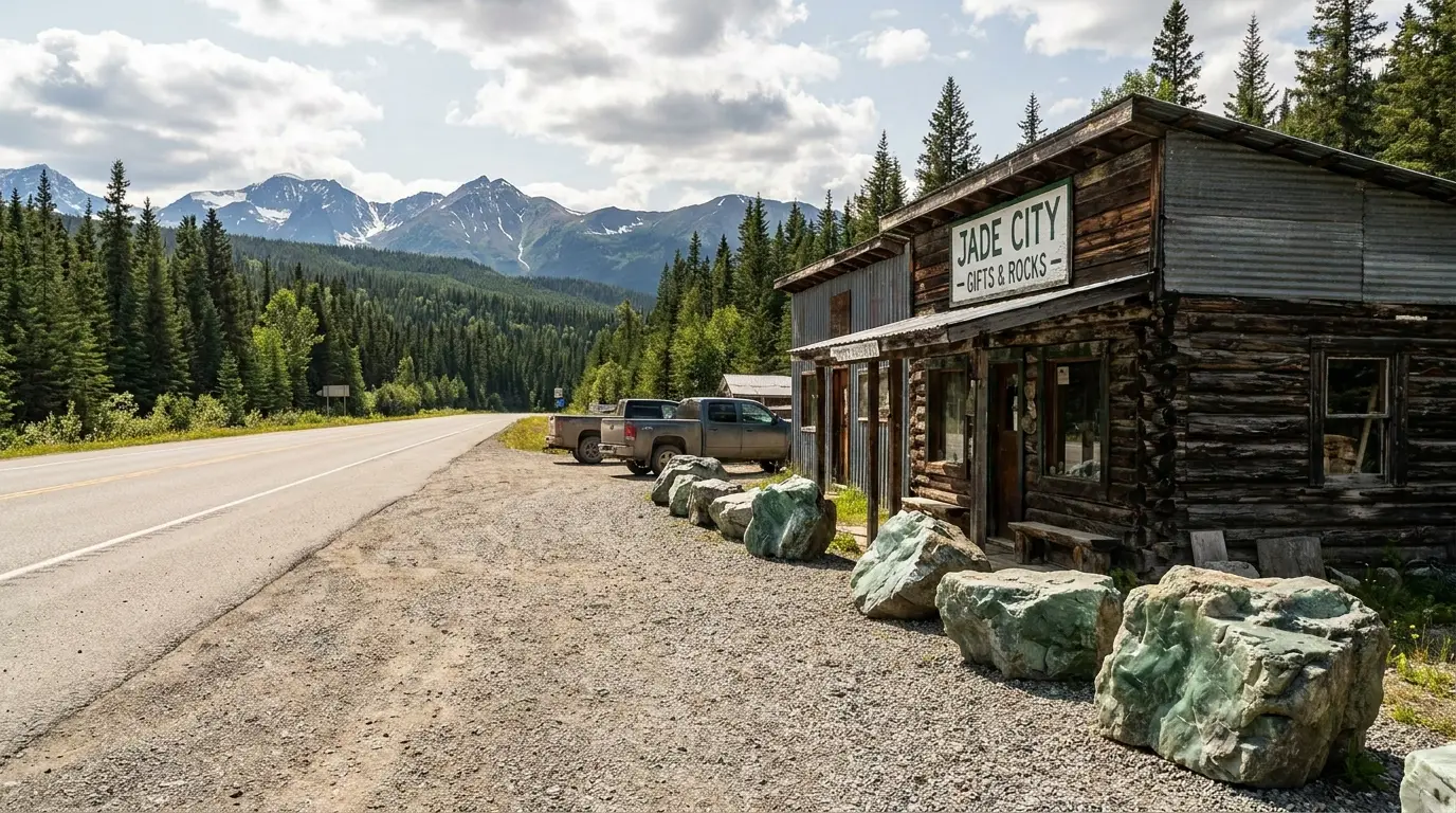
Around km 590: a tiny community built around jade — BC's provincial gemstone is mined nearby, and the family-run Cassiar Mountain Jade Store (open seasonally, roughly April–October) sells carvings and raw stone and has become a well-known highway landmark. A fun leg-stretch and photo stop.
A stop, not a fuel plan — don't count on fuel here (confirm locally). Seasonal hours.
The Fish Creek Wildlife Observation Site, just north of Hyder, is one of the great accessible bear-viewing spots in the North: from a US Forest Service boardwalk and platform you can watch black bears and grizzlies fish spawning salmon in the creek below. It is genuinely wild bear viewing, not a zoo — and it works because everyone follows the rules. Here is the honest version, including the parts that change year to year.
Run by the US Forest Service (Tongass National Forest), a few kilometres north of Hyder on the Salmon Glacier road. There is a boardwalk and viewing platform over the creek, and interpreters on site in the busy season. A fee has been charged in past seasons.
Because it is on the Hyder side, you reach it through the border and return via Canadian border services (§03) — passport required to re-enter Canada.
We could not confirm the exact 2026 season dates or fee — these are set by the Forest Service and by the run. Check before you drive up.
Most of what goes wrong on the Stewart-Cassiar comes down to the same three facts: this is grizzly and black-bear country, the road is long and lightly travelled with wildlife on it, and help is far away with little or no cell signal. None of it is exotic — it just has to be planned for, because the margin for a careless mistake up here is thin.
This corridor holds both black bears and grizzlies — you may see them roadside, at Fish Creek, or around camp. Store all food, garbage and scented items securely (in a hard-sided vehicle or locker, never a tent), keep a clean camp, and carry bear spray and know how to use it.
Make noise on trails, travel in groups, and never approach or feed a bear — including for a photo. Grizzly and black bear responses differ; learn the basics before you go.
Follow current BC Parks / WildSafeBC bear guidance — the specifics matter and are updated regularly.
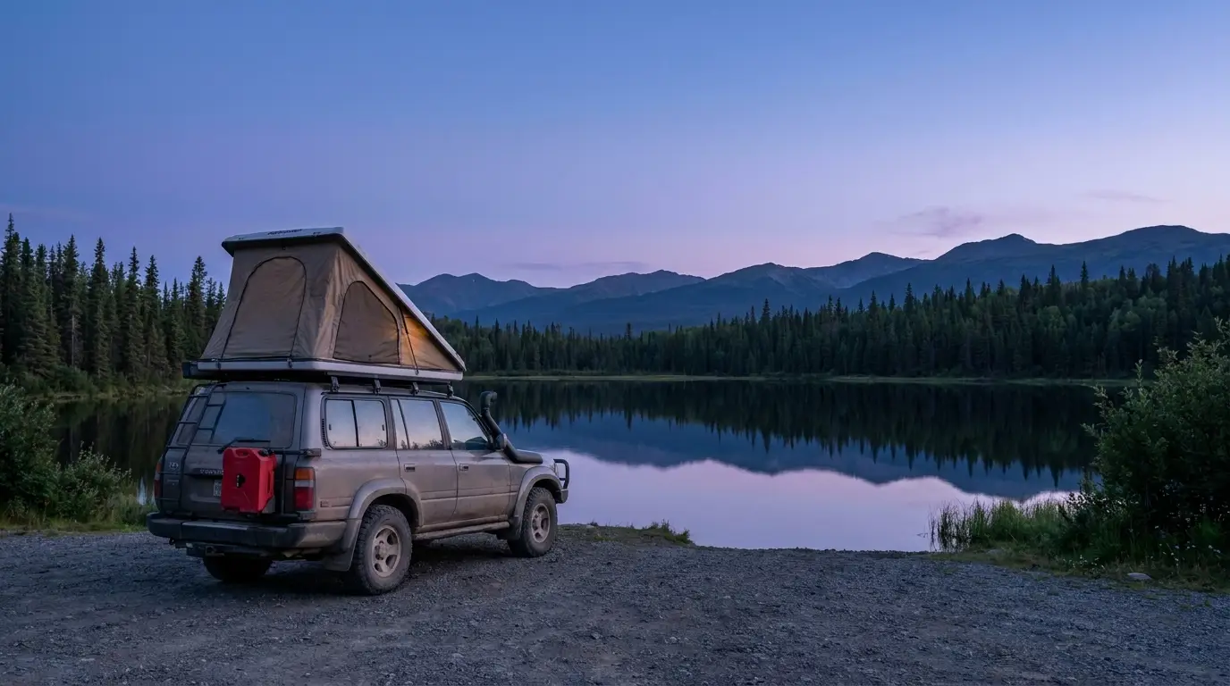
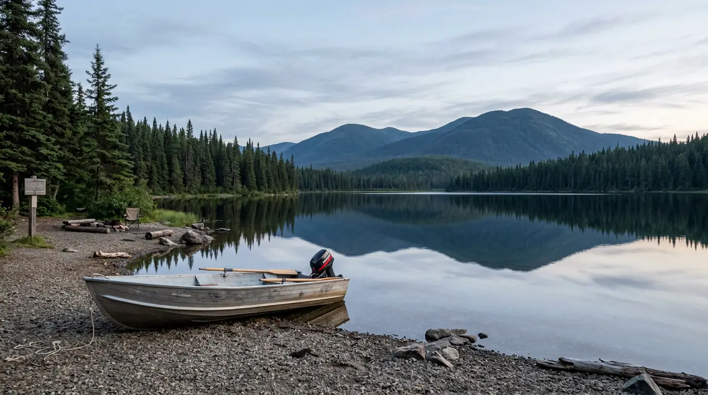
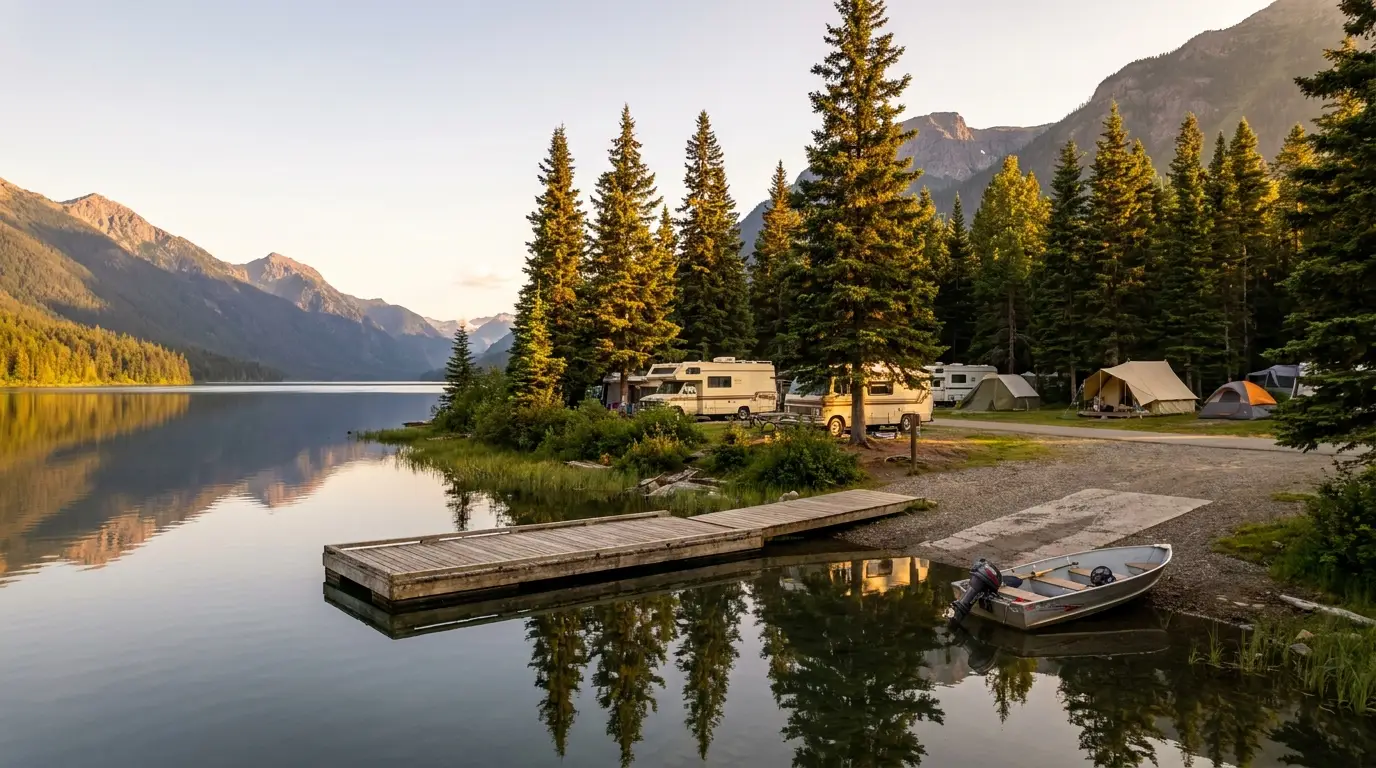
Camping on the Stewart-Cassiar is a mix of a few excellent BC Parks lakeside campgrounds and a scatter of private lodge/RV stops spaced along the corridor, plus a couple of options down the Stewart spur. Almost all of it is seasonal — roughly mid-May to late September — and the good park sites fill on summer weekends. Book what you can for Meziadin and Boya Lake; plan the rest around your fuel legs.
| Campground | Where · manager | Sites* | Booking | Season* | Notes |
|---|---|---|---|---|---|
| Meziadin Lake | ~km 155 · BC Parks (concession-run) | ~66 (reported) | Mixed: reservable + first-come | ~mid-May – late Sep | Boat launch, dock, store reported; base for the 37A side-trip |
| Kinaskan Lake | ~km 330 · BC Parks | ~50 (reported) | Largely first-come | ~mid-May – late Sep | Boat launch; no services at park; nearest help Dease Lake/Stewart |
| Tā Ch'ilā (Boya Lake) | ~150 km N of Dease Lake · BC Parks | ~44 (24 shorefront, reported) | Mixed: reservable + first-come | ~mid-May – late Sep | Turquoise water; canoeing; Kaska Dena territory |
| Bell II Lodge | ~km 248 · private | Campground + chalets | Private (contact lodge) | Seasonal (fuel/café longer) | Full-service stop: fuel, café, showers, laundry |
| Tatogga Lake Resort | ~km 380 · Iskut · private | Campground + cabins | Private (contact resort) | Seasonal | Fuel, restaurant, lakeside sites |
| Red Goat Lodge | ~3 km S of Iskut · private | ~20+ w/ hookups (reported) | Private (contact lodge) | Seasonal | Lakeside RV park, cabins, showers/laundry on Eddontenajon Lake |
| Mountain Shadow RV Park | Iskut area · private | unconfirmed | Private (contact park) | Seasonal | Water/electric, Wi-Fi reported; confirm details |
| Bear River RV Park | Stewart · private | Full hook-up + dry | Private (contact park) | Seasonal | Washrooms/showers, laundry; base for Stewart/Hyder day-trips |
| Rainey Creek Campground | Stewart · District of Stewart (municipal) | ~79 (reported) | Municipal | ~May – Oct | Tent + RV (some electric), by the creek near town |
| Clements Lake Rec Site | Stewart area · BC Rec Sites (Crown) | small; unconfirmed | First-come | Seasonal | Swimming/canoeing, motor restrictions reported; confirm |
*Site counts, seasons and reservation status are compiled from BC Parks, operators' own listings and travel guides and vary by source and by season. Several are shown as "reported" or "confirm" because listings disagreed or didn't state a figure. Book park sites and read the actual details on bcparks.ca, and contact private operators directly. Private lodge/RV fees are not quoted here (§08).
Almost everything here is a summer operation. The three park campgrounds run roughly mid-May to late September and open later in a heavy-snow year; private lodges set their own seasons and can close early. In May or late September, assume some campgrounds and services are shut and call ahead.
Crown-land and rec-site camping exists along the corridor but is rule-bound and unserviced; know the etiquette, pack out everything, and treat bear-proof food storage as mandatory (§06). Confirm any seasonal fire restrictions before you light anything.
There is no city on the Stewart-Cassiar. Services cluster at the two ends and a handful of points between: Kitwanga at the south junction, Stewart down the 37A spur, Dease Lake as the one real town in the middle, and seasonal lodges filling the gaps. Plan your resupply, fuel and any repairs around that thin spread — and remember most of it is a summer operation.
No hospital sits on the highway itself — medical and emergency help is limited and far apart. Confirm current services and hours before you rely on them; much of the corridor is seasonal.
The Stewart-Cassiar runs between the Yellowhead (Hwy 16) near Kitwanga — reached from Prince George or Prince Rupert / Terrace — and the Alaska Highway (Hwy 97) just west of Watson Lake, Yukon. It is the shorter, wilder of the two BC routes to the Yukon and Alaska.
Many travellers loop it with the Alaska Highway — up one, down the other. Confirm current drive times, any construction and seasonal closures with DriveBC / live mapping before you commit to a day's leg.
These are unclaimed listings compiled from each business's own public website; details change, so confirm current season, hours and services with the operator before you rely on them.
We confirmed no operator pricing — any number you see elsewhere should come from the operator. The provincial-park campgrounds (Meziadin, Kinaskan, Boya Lake) are BC Parks, booked via bcparks.ca, not private businesses.
The Stewart-Cassiar is a summer road. The corridor is open year-round for through-driving, but the services, campgrounds and side-trips that make it worth doing run on a short northern season — roughly late spring to early fall. Inside that, one thing has its own clock: the Fish Creek bears follow the salmon. Pick your window by what you're chasing, and give yourself margin at both ends.
One workable shape, not the only one — driven south to north toward the Yukon. It front-loads the totems and the Stewart/Hyder side-trip while you're fresh, spaces the driving legs around the fuel stops, and saves Boya Lake as the last BC night. Adjust freely — but keep every leg inside your fuel range, plan the border, and leave slack for weather and wildlife.
Run it before you leave. Tap each item as it's done — these are the things specific to the Stewart-Cassiar that a general road-trip habit will skip. Most come back to two facts: fuel, season and the border decide your day before the scenery does, and out here there is no quick rescue if you get one of them wrong.
Every guide has these; most don't print them. This corridor mixes provincial parks, Crown land, private lodges and a cross-border US site, with services that shift year to year and a season set by snow and salmon — so more numbers here are estimates than we'd like, and we've flagged them in place. Everything below was compiled 22 July 2026 and should be re-checked against the linked official source before you rely on it.
Everything above, condensed into a print-ready PDF built for the glovebox — for a road where the pumps are seasonal, the signal dies between towns, and the best bear viewing sits across an international border. The fuel plan station by station, the Stewart/Hyder border and the two glaciers, the Fish Creek window, the BC Parks campgrounds with what's reservable, the south-to-north roster of stops, the grizzly-country safety, the timing — and the honest list of what nobody could confirm — on paper that works where the bars don't.
Every Trekkr Trail Journal is built like this one: custom logistics, honest trail beta, the camping and access detail, and the local knowledge that turns a good trip into the one your crew talks about for years — including, always, a plain list of what we could not confirm. New destinations drop all season long, from the BC corridors and the northern highways to the Oregon Cascades to the Colorado Rockies.
Unlock the Trail Journal Library