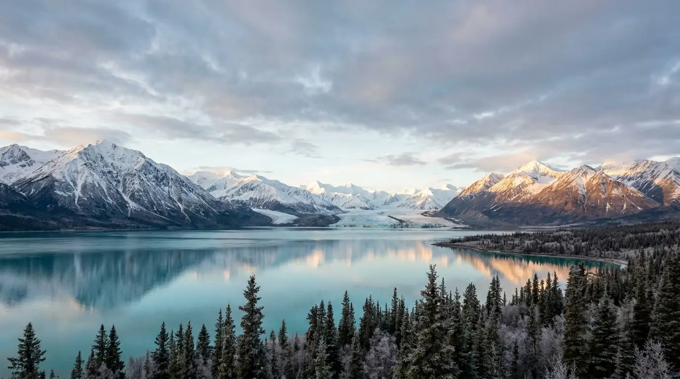
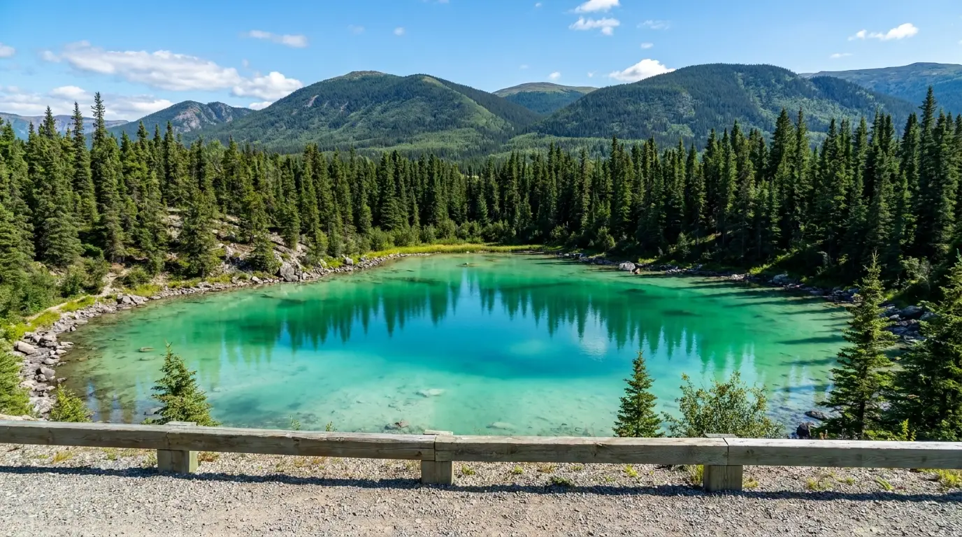
The Yukon's capital sits on a green, fast river; south of it the Southern Lakes fan out toward Carcross and its desert; west of it the Alaska Highway runs to Haines Junction and a wall of ice — Kluane, the biggest non-polar icefields on Earth and the highest peaks in Canada. The camping here is refreshingly simple: first-come, self-register, about twenty dollars, firewood in the fee. The catches are the short season, the long fuel gaps, and the fact that the bears are grizzlies. Sort those three, and this is the easiest big-wilderness driving in the North.
The rest of this journal is evergreen; this box is not. Two things decide whether your plan works here before you pitch a tent — the short serviced camping season and how the campgrounds actually work (§06), and the plain northern realities of distance, fuel, bears and borders (§05). Both change with the calendar. Everything below is dated to the day we compiled it. Trust the live sources, not our date stamp.
The southern Yukon is the most travelled corner of the territory and still feels enormous. Almost everything starts in Whitehorse — the capital, on the green Yukon River, and the one town with a full grocery, a hospital and a hardware store. South of it the Southern Lakes spread toward Carcross, its tiny desert and Bennett Lake, with a dead-end detour to Atlin in BC. West of it the Alaska Highway runs to Haines Junction, the doorstep of Kluane National Park — a UNESCO wilderness holding the highest mountains in Canada and the largest icefields outside the poles, most of it roadless and seen only from the edges or from a small plane. Learn how the simple first-come campgrounds work, respect the short season and the grizzlies, keep your tank full, and it is some of the most rewarding, least complicated wilderness driving anywhere.
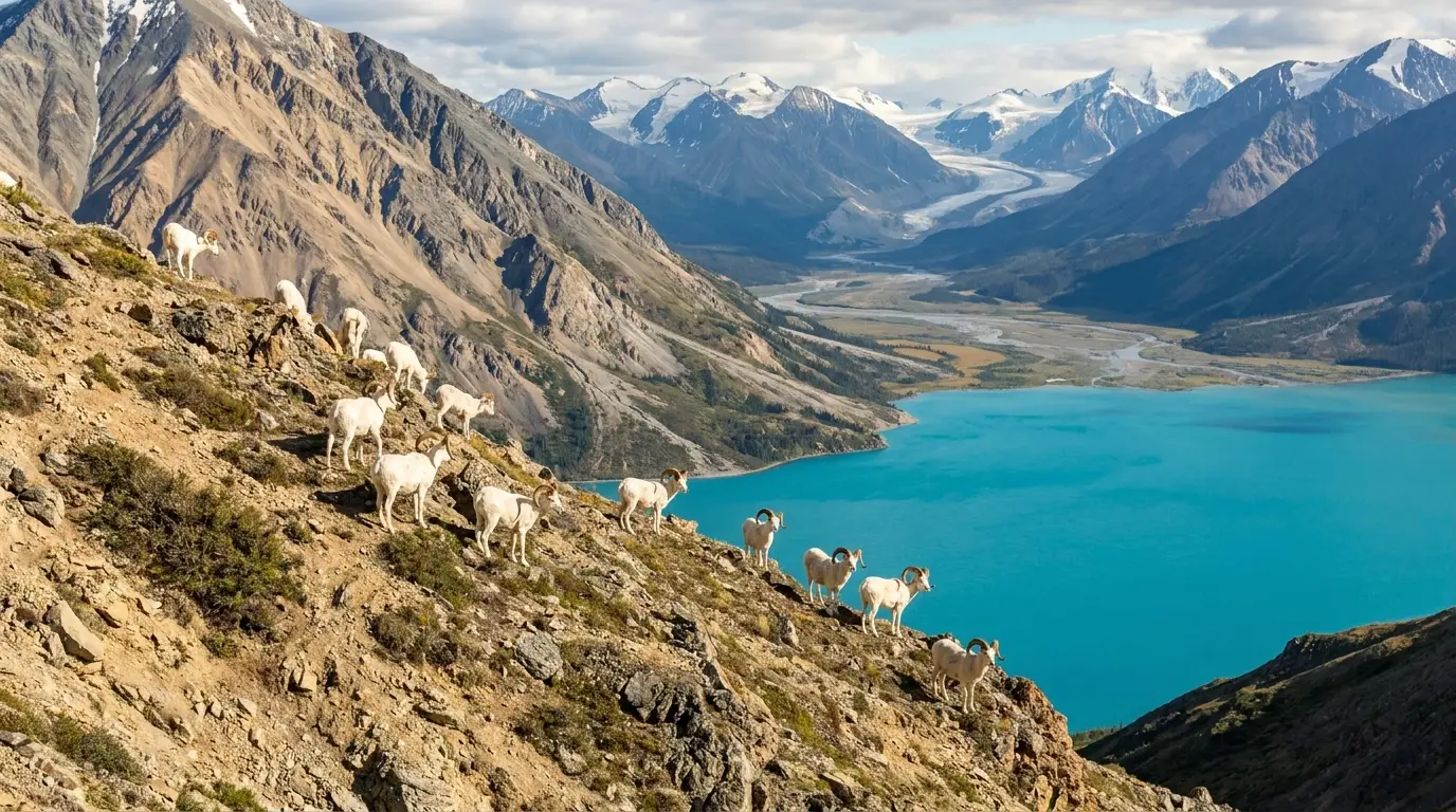
Turquoise lakes you can camp beside for twenty dollars, a river town with real history, a desert, a gold-rush railway, Dall sheep on a mountainside, and the biggest icefields on the continent an hour's drive and a short flight away (§02–§04).
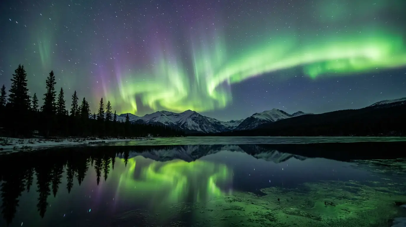
Short. Campgrounds are serviced roughly mid-May to mid-September; June and July bring the midnight sun; the aurora needs dark, so it belongs to the shoulder seasons and winter (§08).
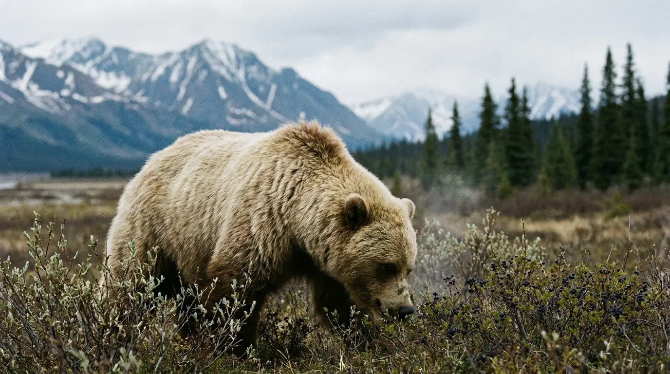
Grizzlies, big distances, and fuel that can be far apart. None of it is exotic — it just has to be planned. Fill the tank in town, carry bear spray, camp clean, download the maps (§05).
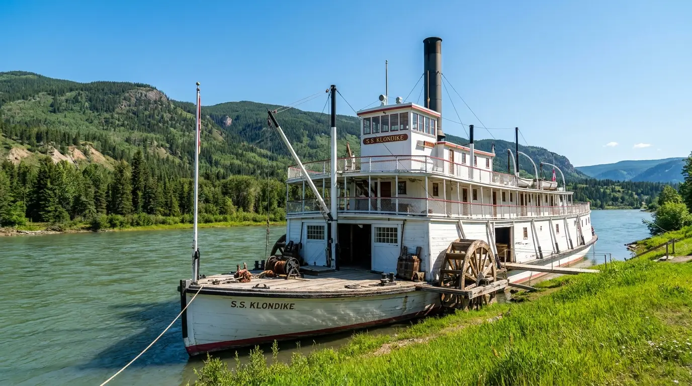
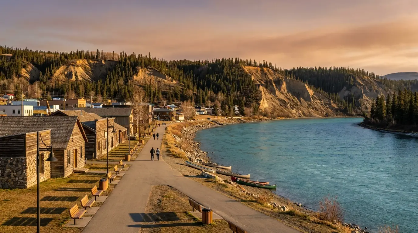
Whitehorse is the hub, the resupply, and worth a day or two in its own right. The city grew where the Yukon River could be run again below the old rapids, and the river is still the heart of the place — a green, fast, cold ribbon with a walking path along it, a fish ladder, float planes, and the last great sternwheeler beached on its bank. Do your shopping and fuelling here, then walk the canyon and the waterfront before you head for the lakes or the ice.
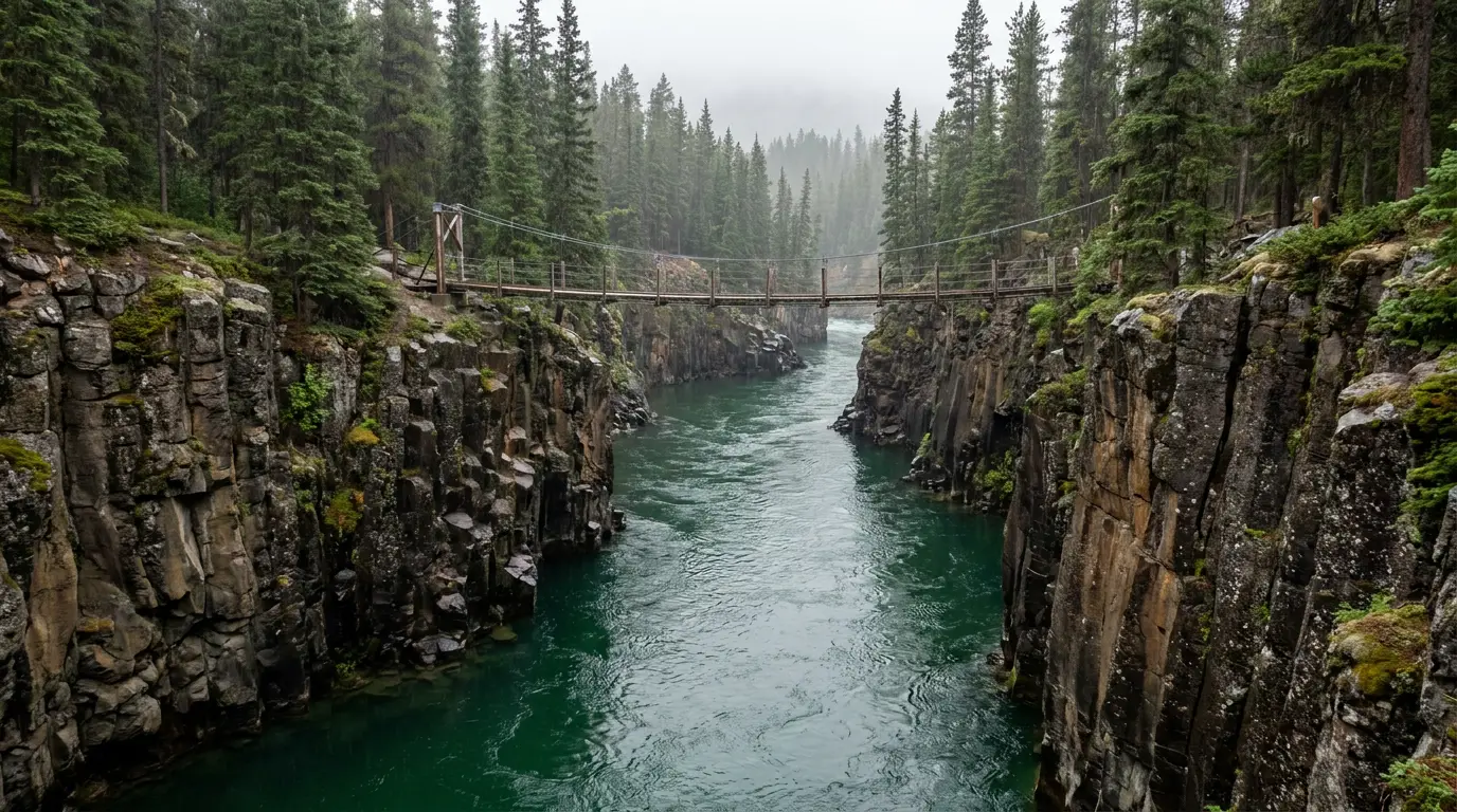
The suspension footbridge over Miles Canyon is the classic short walk — a few minutes' drive from downtown, then loops of your choosing along the rim and down toward the old Canyon City townsite. In town, the Millennium Trail and Yukon River Loop follow the water past the fish ladder and the SS Klondike.
Easy, scenic, and free. Watch children near the unfenced cliff edges, and note that Schwatka Lake above the canyon is the dam reservoir — flat paddling water and a float-plane base.
The SS Klondike is a fully restored sternwheeler — the largest boat that ran the Whitehorse-to-Dawson river route — beached on the waterfront as a Parks Canada National Historic Site, with seasonal guided tours. Downtown, the MacBride Museum tells the gold-rush and First Nations story.
SS Klondike tour hours and museum hours are seasonal — confirm before you plan a morning around them.

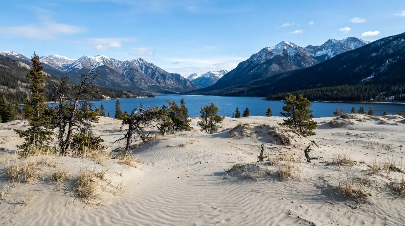
South of Whitehorse the land opens into the Southern Lakes — Marsh, Tagish, Bennett, Kusawa, and the smaller jewels toward Atlin — a country of big blue water, low mountains, and the best easy camping in the region. At its heart is Carcross: a historic Carcross/Tagish First Nation village on Bennett Lake with a desert on its doorstep, the White Pass railway rolling through, and a celebrated network of mountain-bike trails above it. This is the arm of the trip for slow lakeside days and short, high-payoff stops.
Carcross (~70 km south of Whitehorse) sits where Bennett and Nares lakes meet — a gold-rush waypoint and the home of the Carcross/Tagish First Nation. The restored Carcross Commons has carved totems, First Nations art and small shops; the historic Matthew Watson General Store is one of the oldest operating stores in the Yukon (§07).
Above town, Montana Mountain carries a renowned network of backcountry mountain-bike and hiking trails, built and maintained since 2006 by local First Nations youth through the Single Track to Success program.

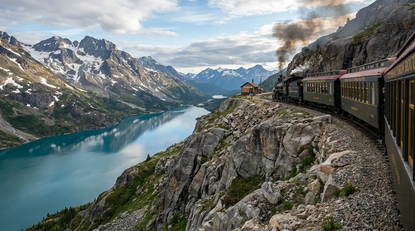
The narrow-gauge railway built over the White Pass during the gold rush still runs as a seasonal excursion line, with trains between Carcross and Skagway, Alaska, along the length of Bennett Lake and over the pass — one of the most scenic short rail rides on the continent.
Riding through to Skagway crosses the Canada–US border — carry a passport, and check the seasonal schedule and border-post hours before you plan a day around it.
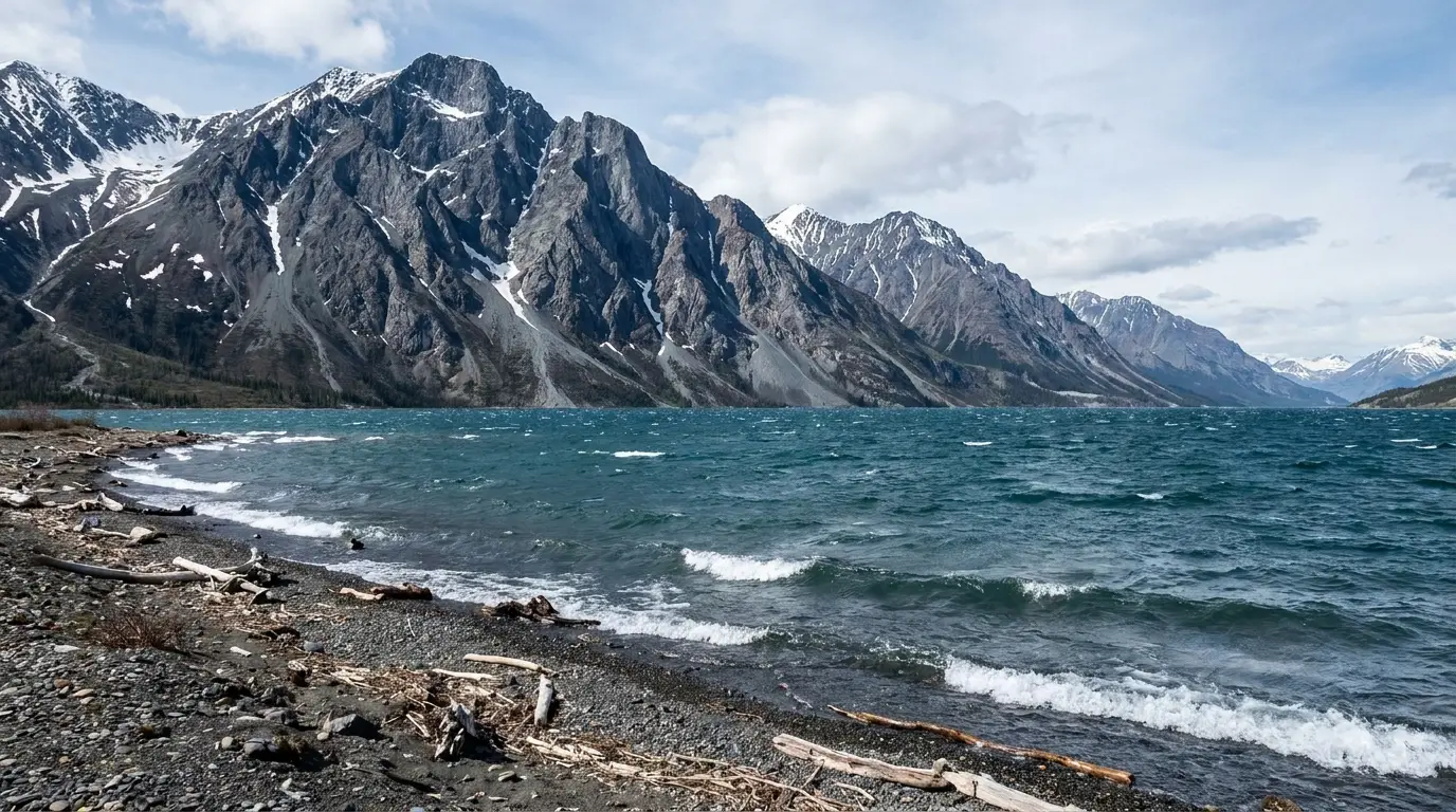
West of Whitehorse the Alaska Highway runs to Haines Junction, a small town in the literal shadow of the St. Elias Mountains and the gateway to Kluane National Park and Reserve — a UNESCO World Heritage wilderness that holds Mount Logan (5,959 m, Canada's highest peak) and the largest non-polar icefields on Earth. Almost none of that interior is reachable by road; you meet Kluane at its edges — the accessible lakes and trails near Haines Junction and along Kluane Lake — and, if you want to see the ice itself, from a small plane. The distances below come from land-manager and trail-guide sources and are planning estimates; confirm at the trailheads, and treat all of it as grizzly country.
A handful of front-country trails give you the range without a full expedition. All are in grizzly country — make noise, carry spray, and check current conditions and any closures at the Kluane visitor centre in Haines Junction or the Tachäl Dhäl centre.
Reported ~5 km one-way to the cirque · steep, sustained gain from the Kathleen Lake day-use area to a glacial cirque bench with a commanding view over the lake and the Kluane Ranges. Strong, prepared hikers continue up the ridge toward the icefield panorama. Distance and gain are estimates — confirm at the trailhead.
Steep and exposed; loose rock higher up, and the ridge is a serious extension, not a stroll. Grizzly country — carry spray, make noise. Weather turns fast off the icefields; carry layers.
Trails climb from the Tachäl Dhäl (Sheep Mountain) Visitor Centre on Kluane Lake, ~70 km north of Haines Junction — famous for the Dall sheep that graze the slopes and for big views into the ranges. Routes range from a short interpretive walk to a long, steep ridge. Trail distances vary by source — confirm at the centre.
The ridge routes are a steep, hard slog and fully exposed. Grizzly country, and the sheep are wildlife — view from a distance, never approach. Centre hours are seasonal.
An easy lakeshore trail at Kathleen Lake for a gentle walk with mountain-and-water views, and the nearby short Rock Glacier boardwalk-and-climb for a quick payoff. Good acclimatising or family options that don't commit you to a big alpine day. Confirm current trail status at the visitor centre.
Still Kluane — bears use these shorelines. Cold, deep water and sudden wind on Kathleen Lake; it is not a swimming lake.
The heart of Kluane — Mount Logan, the Kaskawulsh and the icefields — is not visible from the highway and not reachable on a day hike. The realistic way to see it is a flightseeing tour in a small plane out of Haines Junction over the glaciers and peaks (§07). It is the splurge of the trip and, for most visitors, worth it.
Flights depend on weather and can be cancelled or delayed — build in a spare day and confirm with the operator.
Rafting the Tatshenshini and canoeing on Kathleen Lake are the classic paddling options, run by guided outfitters based near Haines Junction (§07). The Tatshenshini is world-famous whitewater; Kathleen is calmer but cold and wind-prone.
Any overnight travel deeper into Kluane requires registration with Parks Canada and real backcountry skill — this is remote, glaciated, grizzly wilderness. Register and check conditions at the Kluane visitor centre.
The southern Yukon is not dangerous the way a technical mountain is dangerous — it is dangerous the way remoteness is dangerous. Most of what goes wrong here comes down to four ordinary things: grizzly bears and how you camp; the sheer distance between fuel, help and cell service; cold, deep, wind-driven lake water; and, for anyone crossing to Skagway, an international border with rules and hours. None of it is exotic. All of it rewards planning before you leave the pavement.
This is standard northern bear-country guidance, not a substitute for current Parks Canada / Yukon Parks advice — check posted notices and the visitor centres for recent bear activity and closures.
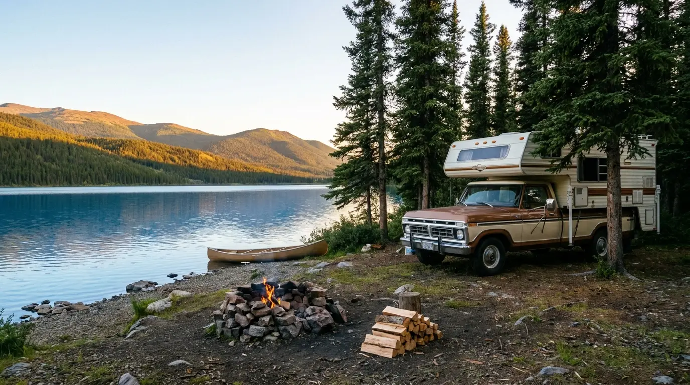
Camping in the southern Yukon is gloriously simple, and different from what southern travellers expect. The Yukon Government runs a network of territorial campgrounds — clean, treed, lakeside, uncrowded — that take no reservations at all: you drive in, pick an empty site, and self-register with the envelope provided. The reported fee is about twenty dollars a night, cash, and firewood is included. The one exception nearby is Kathleen Lake in Kluane, which Parks Canada runs on its own reservable system. Here is how to play it.
| Campground | Corridor · manager | Sites* | Booking | Reported fee* |
|---|---|---|---|---|
| Marsh Lake | Southern Lakes / Alaska Hwy · Yukon Gov | 66 (reported) | First-come | ~$20 + firewood |
| Tagish Bridge | Tagish Rd · Yukon Gov | ~15–21 (confirm) | First-come | ~$20 + firewood |
| Kusawa Lake | Kusawa Rd (gravel) · Yukon Gov | 53 (reported) | First-come | ~$20 + firewood |
| Snafu Lake | Atlin Rd · Yukon Gov | 26 (reported) | First-come | ~$20 + firewood |
| Tarfu Lake | Atlin Rd · Yukon Gov | 32 (reported) | First-come | ~$20 + firewood |
| Conrad | Windy Arm / South Klondike Hwy · Yukon Gov | unconfirmed | First-come | ~$20 + firewood |
| Wolf Creek | Alaska Hwy (nearest Whitehorse) · Yukon Gov | unconfirmed | First-come | ~$20 + firewood |
| Lake Laberge | North Klondike Hwy · Yukon Gov | unconfirmed | First-come | ~$20 + firewood |
| Pine Lake | Haines Junction · Yukon Gov | unconfirmed | First-come | ~$20 + firewood |
| Congdon Creek | Kluane Lake / Alaska Hwy · Yukon Gov | unconfirmed | First-come · electric bear fence | ~$20 + firewood |
| Kathleen Lake | Kluane NP · Parks Canada | 38 + 5 oTENTiks | Reservable + first-come | Parks Canada fee (confirm) |
*Site counts and fees are compiled from Yukon Government campground listings, the Yukon Parks map, Parks Canada and travel-guide sources and vary by source and by season. The ~$20 territorial fee (firewood included) and the first-come rule were the most consistent findings; several site counts we could not confirm and have flagged. The serviced season (roughly mid-May to mid-September) and the exact 2026 fee should be confirmed on yukon.ca. Kathleen Lake is the outlier — a Parks Canada campground with its own reservation system and fee.
Kathleen Lake Campground in Kluane is Parks Canada, not Yukon Government: 38 unserviced sites plus 5 oTENTiks, with potable water, firewood, bear-proof lockers and a playground, taking RVs and motorhomes to about 30 ft. The 2026 season was reported ~15 May–20 Sep.
It's a mix of reservable and first-come sites: reservations launched 20 Jan 2026 and can be made up to 24 hours ahead via reservation.pc.gc.ca or 1-877-RESERVE; reservable sites left unbooked drop to first-come each day.
Confirm the current Parks Canada fee and exact 2026 dates before you rely on them.
This region runs from a small capital city to villages of a few hundred people, and the services drop off quickly outside Whitehorse. Whitehorse is full-service and open year-round; Carcross, Tagish and Haines Junction are smaller and more seasonal; Atlin is tiny and remote. Plan your resupply around that gradient — and remember there is far less between towns here than a map distance suggests.
Store and attraction hours are seasonal for some sites — confirm before relying on them, especially shoulder-season.
We confirmed no operator pricing — any number you see elsewhere should come from the operator. Hours and seasons change; check the current website before you drive over. Flightseeing is weather-dependent.
The southern Yukon has a short, brilliant summer and a hard seasonal constraint: the campgrounds are serviced only for a few months, and much of the region's tourism runs on the same calendar. Inside that window, June and July give you the midnight sun and warm days; late August and September bring fall colour, thinning crowds, and the first dark nights that make the aurora possible. Pick your window by what you're chasing — but know you can't have the midnight sun and the northern lights on the same trip.
One workable shape, not the only one. It uses Whitehorse as the base, takes the Southern Lakes and Carcross as an easy first loop, then commits a couple of days west to Kluane, where the distances and the weather demand the most planning. Adjust freely — but keep the tank full, keep a backup campground in mind on summer weekends, and treat every Kluane day as grizzly country.
Run it before you leave Whitehorse. Tap each item as it's done — these are the ten things specific to the southern Yukon that a general road-trip habit will skip. Most come back to two facts: the campgrounds are simple but cash-and-first-come, and the distances mean you fuel, provision and prepare for bears in town, not out there.
Every guide has these; most don't print them. Yukon Government's own site blocked our automated checks, so several campground specifics rest on secondary listings that disagree, and the fee and season are the reported figures rather than a fresh confirmation. Everything below was compiled 22 July 2026 and should be re-checked against the linked official source before you rely on it.
Everything above, condensed into a print-ready PDF built for the glovebox — for a region where the campgrounds are cash-and-first-come, the fuel gaps are real, the bears are grizzlies, and the signal dies once you leave Whitehorse. The territorial-campground system decoded, Kathleen Lake and the Kluane hikes, the Southern Lakes and Carcross, the Atlin detour and the Skagway border, the season-and-aurora trade-off, and the honest list of what nobody could confirm — on paper that works where the bars don't.
Every Trekkr Trail Journal is built like this one: custom logistics, honest trail beta, the camping and access detail, and the local knowledge that turns a good trip into the one your crew talks about for years — including, always, a plain list of what we could not confirm. New destinations drop all season long, from the BC corridors to the Yukon and the Colorado Rockies.
Unlock the Trail Journal Library