Shenandoah is the Blue Ridge distilled into one road. Skyline Drive runs 105 miles along the crest from Front Royal to Rockfish Gap at an enforced 35 mph, with 70 overlooks and a milepost every mile. Inside that long, thin park sit 516 miles of trail, 101 of them Appalachian Trail, and 79,579 acres of designated Wilderness. The catches are all logistical: Old Rag needs an advance ticket, the park went cashless in 2025, the only gas station on the ridge has its pumps shut, and not one campsite in the park has a hookup.
The rest of this journal is evergreen; this box is not. Shenandoah is an easy park to drive and a surprisingly easy park to get wrong, because almost every gotcha is administrative rather than terrain. You cannot buy an Old Rag ticket on arrival (§03). You cannot pay cash for anything (§02). You probably cannot buy fuel on the ridge (§02). And no campsite in the park has a hookup (§07). Everything below is dated to the day we checked it. Trust the live sources, not our date stamp.
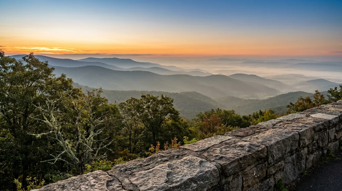
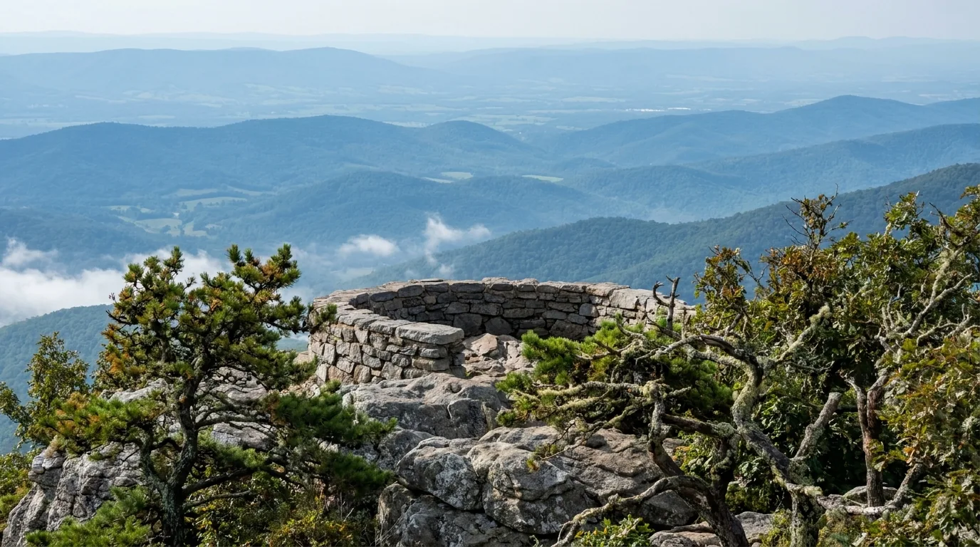
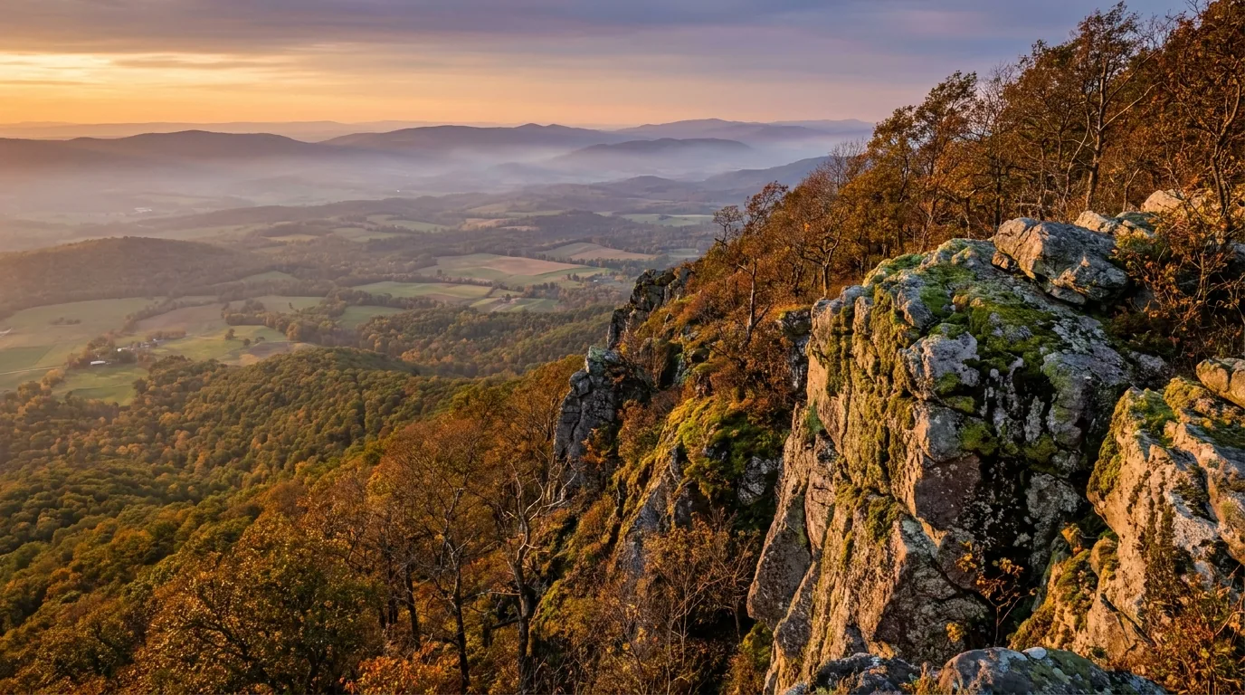
Skyline Drive runs 105 miles along the crest of the Blue Ridge from Front Royal to Rockfish Gap at a legally enforced 35 mph, with 70 overlooks and a milepost every mile on the west shoulder. NPS says you can drive the whole thing in about three hours on a clear day — which is exactly the wrong way to use it. This is a park you meter out: pull off, walk twenty minutes, and the Virginia Piedmont drops away on one side while the Shenandoah Valley and Massanutten Mountain fill the other.
What makes Shenandoah unusual for an overlander is the geometry. The park is long and thin — 198,754 acres strung along a ridge, in places barely wider than the road's viewshed — yet 79,579 acres of it are federally designated Wilderness (designated 1976), nearly 40% of the park and the third-largest wilderness area east of the Mississippi River. Inside that sliver are 516 miles of trail, including 101 miles of the Appalachian Trail and roughly 200 miles open to horses, waterfalls in every district, and the highest concentration of easily reached summits on the East Coast: Stony Man is 1.6 miles round trip, Blackrock is one mile, and Hawksbill — the park's 4,051-foot high point — is under three.
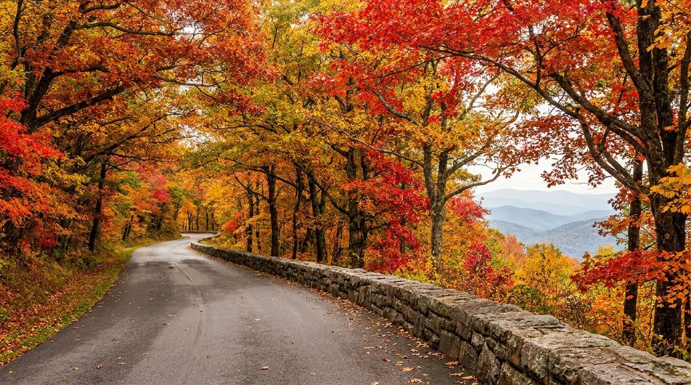
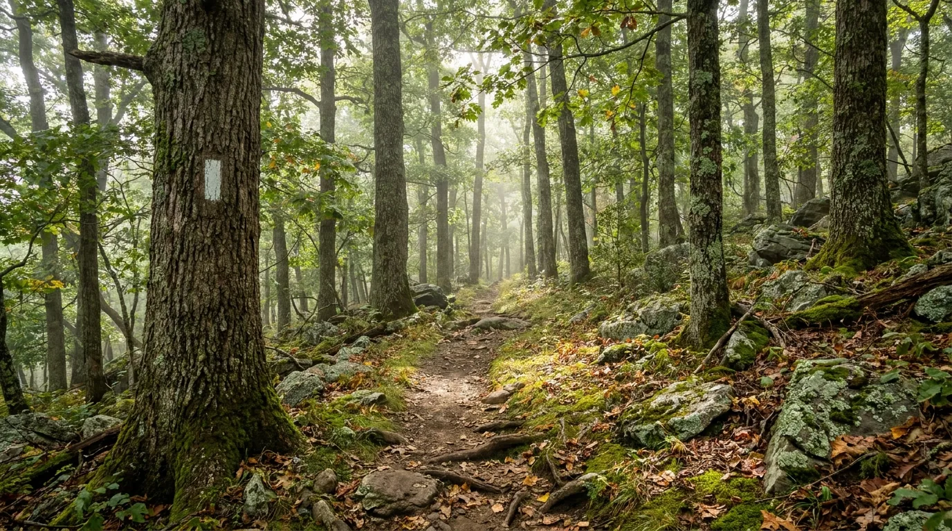
And it's a restoration story, not a preservation one. A century ago this ridge was farms, orchards and grazing land. Virginia acquired the land and deeded it to the federal government; hundreds of mountain families were moved off it. The Civilian Conservation Corps built the stone guardwalls, the overlooks, the trails, shelters and picnic grounds through the 1930s, and the forest grew back over the stone walls and family cemeteries that are still out there in the woods. NPS itself frames the park's story as including "the lives and communities of past mountain residents, the establishment of the Park, the Civilian Conservation Corps, segregation of early park visitors, the shifting role of parks in our society" — and an honest guide names that last part rather than skipping it. The park was authorized 22 May 1926, established 26 December 1935, and dedicated by President Franklin D. Roosevelt on 3 July 1936.
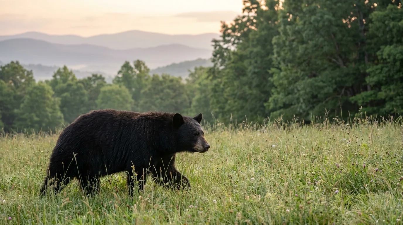
The bears came back too. NPS documented two black bears in 1937, about ten by 1944 and roughly seventy-five by the early 1950s; today the park describes its population as ranging "from the low to high hundreds" depending on mast crops. Ninety minutes from Washington DC, that's a genuinely remarkable second act — and the reason every October weekend the overlook parking is full by nine in the morning.
The best view-per-effort ratio in the East. Stony Man is 1.6 miles for a 3,000-foot panorama; Blackrock is a mile; Hawksbill's 4,051-ft summit is under three. Add 101 miles of AT, waterfalls in every district, and 70 overlooks you can reach without leaving the car (§04, §05).
Almost every Shenandoah failure is administrative. Old Rag needs a ticket bought weeks out. The park takes no cash. Backcountry permits now cost money. Campground sites release in three waves. Solve the paperwork and the hiking is the easy part (§02, §03, §07).
Shenandoah is 90 minutes from Washington DC and has exactly one road. On October weekends overlook and trailhead parking fills by mid-morning and the entrance queues back up. In winter that same single road closes for snow and ice and can take crews days to reopen (§09).
There are exactly four ways in, all of them on a US highway, and NPS warns explicitly that mapping apps will route you to gated service roads if you let them. Once you're on the ridge the road is simple — 35 mph, mileposts on the west shoulder — but the support is thin: one gas station (currently shut), poor cell coverage, emergency phones instead of bars, and a tunnel with a posted low clearance that tall rigs need to check before committing to the northern half.
| Entrance station | Milepost | Highway | Nearest towns / what it serves |
|---|---|---|---|
| Front Royal north end |
MP 0 | US 340 | Front Royal. The northern basecamp — full services, river outfitters, Skyline Caverns. Dickey Ridge Visitor Center is just inside |
| Thornton Gap central, the classic |
MP 31.5 | US 211 | Luray to the west (~9 mi), Sperryville to the east. Marys Rock trailhead is at the back of the Panorama lot. Sperryville is the staging town for Old Rag |
| Swift Run Gap south-central |
MP 65.5 | US 33 | Elkton, with Harrisonburg beyond — the biggest full-service town near the south-central park |
| Rockfish Gap south end |
MP 105 | US 250 / I-64 | Waynesboro / Afton. Skyline Drive ends and the Blue Ridge Parkway begins at its own Milepost 0 — one continuous ridge drive south |
Old Rag day-use tickets, camping and backcountry permits are separate charges from the entrance fee.

There is exactly one gas station inside Shenandoah: the Big Meadows Gas Station at mile 51.2, next to Big Meadows Wayside, run by concessioner Delaware North. Diesel and unleaded. NPS says it plainly: it is "the only gas station located within Shenandoah National Park, so be sure to plan accordingly!"
And at this research pass the NPS page states the pumps at Big Meadows Wayside are "closed for upgrades until further notice." The wayside also closes in winter regardless.
Our guidance: treat in-park fuel as unavailable unless you confirm it's running the week you travel. Fill up in Front Royal, Luray, Elkton/Harrisonburg or Waynesboro before you get on the ridge. 105 miles of 35 mph mountain road with no bail-out fuel is a real range problem for a thirsty rig, and there is no shortcut off the crest between entrance stations.
NPS states cell coverage is poor and provides emergency phones along the Drive. There is limited WiFi at the Byrd Visitor Center and Big Meadows Lodge, and Recreation.gov notes cell reception at the Big Meadows amphitheater and at Lewis Mountain.
Assume no service on trails, in the hollows, or on most of the Drive. Download offline maps, carry a paper PATC map, and write these down: park emergency 1-800-732-0911, park information 540-999-3500.
Coverage varies by carrier — treat any specific spot as unverified.
Old Rag is the most famous hike in Virginia and the single most common way a Shenandoah trip goes wrong — because the failure happens weeks before you arrive. It is not reached from Skyline Drive; it is approached from outside the park on Nethers Road, on the Sperryville/Etlan side. From 1 March to 30 November it requires a day-use ticket that is sold only in advance, in two tiny daily releases, and never at an entrance station. In 2026 it also loses about a hundred parking spaces to construction.
The main Old Rag parking lot is closed for reconstruction from roughly 4 May 2026, with primary construction running to about September 2026 and further work continuing into November 2026. That's roughly 100 spaces removed across the entire heart of the ticketed season.
Lot 2 and the grassy Overflow Lot on Nethers Road stay open. But with the main lot gone, the gap between "I hold a ticket" and "I have somewhere to leave the truck" widens considerably.
A pre-dawn start stops being a nice idea and becomes the plan. Nethers Road is narrow; do not improvise a roadside spot.
This is Shenandoah's real specialty. Because Skyline Drive already sits on the crest, most of the climbing is done before you park — which puts a genuine 360° Blue Ridge panorama within a mile or two of the car in half a dozen places. Every distance, elevation gain and difficulty rating below is an NPS figure. Times are fit-hiker estimates; trail conditions and closures change, so check the trailhead board and the park's trail page before you count on any of them.
1.6 mi round trip, 340 ft gain, rated "Easiest," ~1 hr. From the Stony Man parking area by Skyland. The biggest payoff-to-effort ratio anywhere in Shenandoah and the classic sunset walk — a broad rocky summit looking straight down the valley.
PETS PROHIBITED on the blue-blazed summit portion. Cliff edges — keep back and watch children.
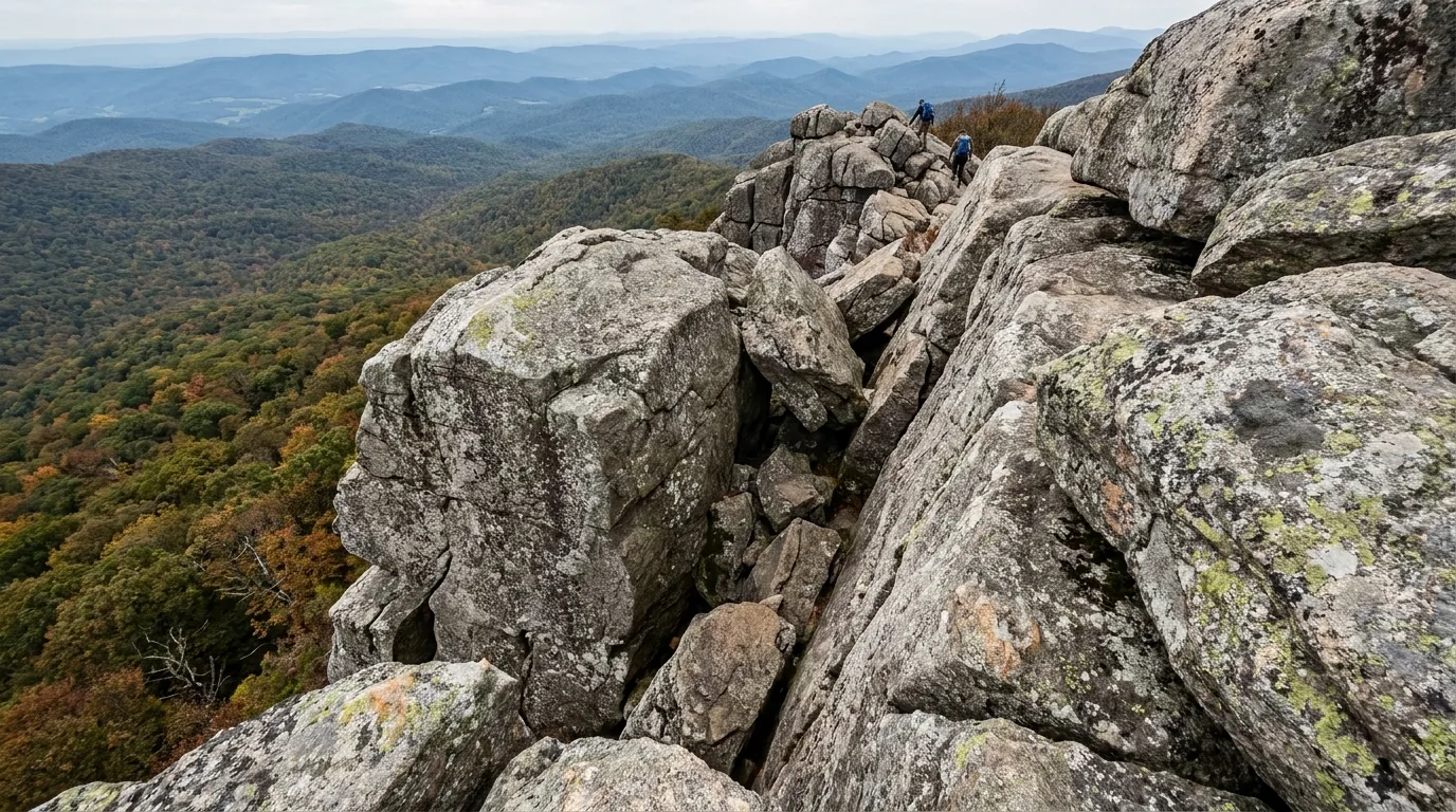
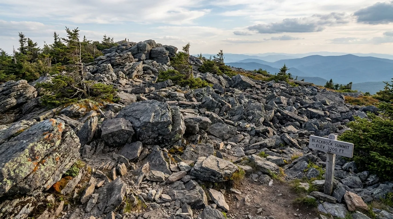
1 mi circuit, 175 ft gain, rated "Easiest," ~45 min. A talus-field summit of huge angular quartzite blocks with enormous views for almost no effort. It's also a TRACK Trail with family activity materials at the trailhead — the single best stop if you're driving the south end with kids.
Loose, angular talus — step onto blocks rather than blindly over them (see the snake note in §06).
1.3 mi circuit, 130 ft gain, rated "Easiest," ~1.5 hrs. A crushed-greenstone surface, typical width 5 ft (minimum 2.7 ft) and a maximum slope of 10.3% — genuinely accessible rather than nominally so, with interpretive signage throughout. Also a TRACK Trail.
NO PETS (service animals welcome).
Hawksbill Loop: 2.9 mi circuit, 860 ft gain, Moderate, 2–3 hrs. From Hawksbill Gap at MP 45.5, or the shorter Upper Hawksbill approach at MP 46.5. A 360° view over the Shenandoah Valley, the Blue Ridge and the Piedmont from the highest ground in the park.
Pets allowed on a 6-ft leash. Exposed summit — get off it if a storm builds.
1.4 mi round trip, 311 ft gain, Moderate, ~1 hr, 360° view. A real hands-on scramble in a very short package — and no ticket required. The route: cross Skyline Drive, up the stairs, Bearfence Loop through the scramble, connector trail, then the AT northbound back to the lot.
NPS: not recommended if you're uneasy with heights, or in wet or icy conditions. NO PETS.
3.7 mi round trip, 1,210 ft gain, Moderate, ~3 hrs 30. The trailhead is at the back of the Panorama parking area, right at the Thornton Gap entrance — which makes it the best option if you're coming in on US 211 and want to be walking within ten minutes of paying your fee.
Sustained climb — a real 1,200 feet, not a stroll. Carry water.
4 mi round trip, 870 ft gain, Moderate, ~2 hrs 45, with three stream crossings. President Herbert Hoover and First Lady Lou Henry Hoover's rustic summer retreat — a National Historic Landmark with exhibits on the couple. Route: cross Skyline Drive from Milam Gap, take the AT to the trailpost, turn left on the blue-blazed Mill Prong Trail, then at the second stream crossing stay right on the yellow-blazed Mill Prong Horse Trail downhill to the camp.
Ranger-led van tours (~30 min drive) can be reserved at recreation.gov or 877-444-6777. Tour fee and season unconfirmed — check before planning around it.
| Trail | Milepost | Distance | Gain / difficulty | Time | Pets |
|---|---|---|---|---|---|
| Stony Man | 41.7 | 1.6 mi RT | 340 ft · Easiest | ~1 hr | No (summit spur) |
| Blackrock Summit | 84.4 | 1 mi circuit | 175 ft · Easiest | ~45 min | Yes, 6-ft leash |
| Limberlost | 43 | 1.3 mi circuit | 130 ft · Easiest | ~1.5 hr | No |
| Bearfence Scramble | 56.4 | 1.4 mi RT | 311 ft · Moderate | ~1 hr | No |
| Hawksbill Loop | 45.5 | 2.9 mi circuit | 860 ft · Moderate | 2–3 hr | Yes, 6-ft leash |
| Marys Rock | 31.5 | 3.7 mi RT | 1,210 ft · Moderate | ~3.5 hr | Yes, 6-ft leash |
| Rapidan Camp | 52.8 | 4 mi RT | 870 ft · Moderate | ~2h45 | Yes, 6-ft leash |
| Old Rag (off Nethers Rd) | Not on Skyline Drive — distance/gain unconfirmed | Very strenuous scramble | Full day | No | |
Distances, elevation gains and difficulty ratings are NPS figures. Times are fit-hiker estimates. Old Rag's exact distance and gain could not be confirmed against an NPS page on this pass — get the printed trail sheet at a visitor center. Trail closures and conditions change — check the trailhead board before you count on any of it.
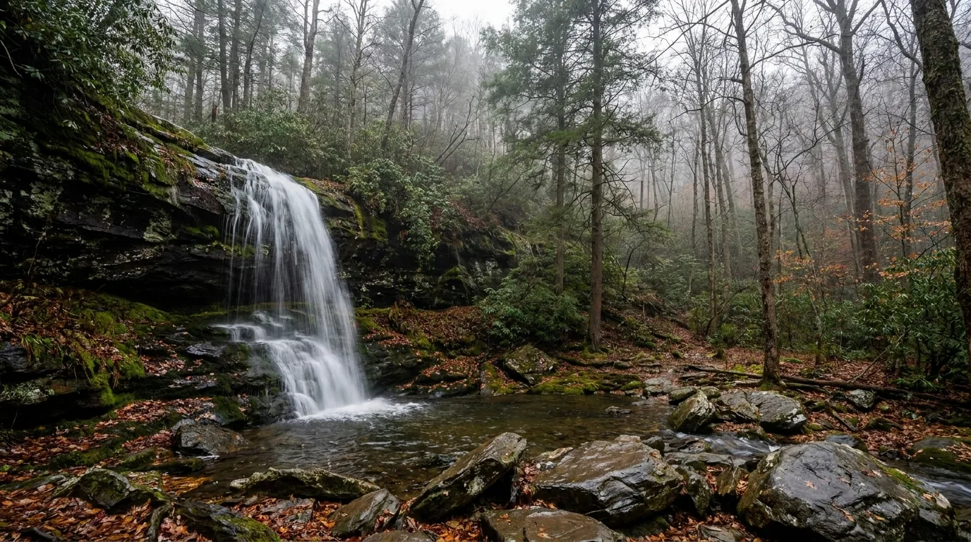
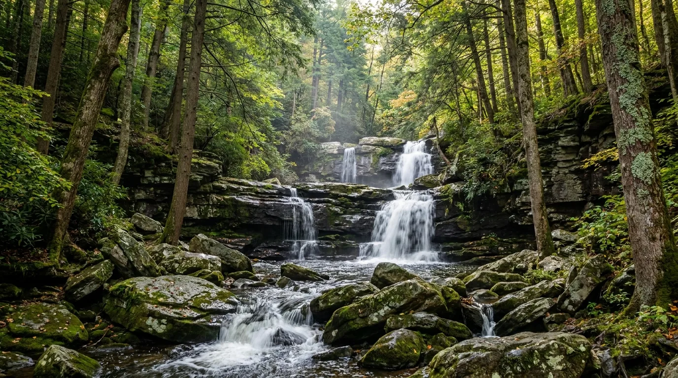
Shenandoah's waterfalls sit in hollows below the ridge, which produces a structural trap that catches people every summer: you walk downhill while you're fresh and uphill when you're spent, in heat, often with less water than you planned. NPS is blunt about the second hazard too — "wet rocks are surprisingly slippery and, unfortunately, there have been several serious or fatal injuries around our waterfalls." Flow drops off sharply through summer; spring is when these run hardest.
1.4 mi circuit, 440 ft gain, Moderate, ~1 hr 15. The falls drop 70 feet. It's a short walk from a Skyline Drive lot in the middle of the Central District, which is exactly why it is the busiest trail in Shenandoah — go before 8 a.m. or don't go.
NO PETS. Steep stream-side rock, treacherous when wet. Not ADA accessible; service animals welcome.
4 mi circuit, 910 ft gain, Moderate, ~4 hrs 30. This is NPS's own suggested alternative to Dark Hollow Falls for anyone hiking with a dog — and it is far quieter besides. Longer and more of a real walk, but you get the hollow largely to yourself.
Pets allowed on a 6-ft leash. Same wet-rock rules apply.

Whiteoak Canyon (Upper Falls): 4.6 mi round trip, 1,040 ft gain, Moderate, 3–4 hrs. A rocky ledge viewpoint at about 2.3 miles, with Upper Whiteoak Falls at 86 feet and a chain of falls running down the canyon below it. Pets allowed, 6-ft leash.
Cedar Run – Whiteoak Circuit: 8.1 mi circuit, 2,794 ft gain, VERY STRENUOUS, ~7 hrs. The park's marquee hard day hike, from the same MP 42.6 parking. Multiple stream crossings and wet rock throughout. Don't send beginners on this one — and don't start it late in the day.
At 93 feet, Overall Run is the tallest waterfall in Shenandoah, in the North District, reached from the Mathews Arm area — which makes it the natural evening walk if you're camped there.
The catch: it is frequently dry or a trickle in late summer. Go in spring, or go expecting a cliff rather than a cascade.
We could not confirm the exact trailhead milepost (commonly cited around MP 21.1–22.2) — check at Mathews Arm or a visitor center.
| Waterfall hike | Milepost | Distance | Gain / difficulty | Time | Pets |
|---|---|---|---|---|---|
| Dark Hollow Falls 70 ft | 50.7 | 1.4 mi circuit | 440 ft · Moderate | ~1h15 | No |
| Rose River Loop | 49.4 (Fishers Gap) | 4 mi circuit | 910 ft · Moderate | ~4h30 | Yes, 6-ft leash |
| Whiteoak Canyon Upper Falls 86 ft | 42.6 | 4.6 mi RT | 1,040 ft · Moderate | 3–4 hr | Yes, 6-ft leash |
| Cedar Run – Whiteoak Circuit | 42.6 | 8.1 mi circuit | 2,794 ft · Very strenuous | ~7 hr | — |
| Overall Run Falls 93 ft — tallest | ~21–22 (unconfirmed) | From the Mathews Arm area, North District | — | — | |
Distances, gains, difficulty ratings and waterfall heights are NPS figures. The Overall Run trailhead milepost could not be confirmed on this pass. Flow is highly seasonal — check recent conditions before driving out for a specific waterfall.
Shenandoah's hazards are mostly ordinary and mostly manageable, but two of them are enforced hard and one is genuinely counterintuitive. The food-storage rule covers far more than food. Pets are welcome on almost the whole trail network — with a specific list of exceptions that catches people out. And the rock scrambles that make this park fun are exactly where you place your hands into cracks that snakes use.
Shenandoah is one of the most dog-friendly national parks in the system. Pets are allowed in campgrounds, in pet-friendly lodging, and on the large majority of the park's 516 miles of trail — fewer than 20 miles are closed to pets. The requirement: a physical leash, 6 feet maximum, at all times. Pack out waste; NPS specifically asks you not to leave bags hanging on trees or posts.
Trails where pets are NOT allowed: Fox Hollow · Stony Man (blue-blazed summit portion) · Limberlost · Old Rag Ridge Trail and the related Old Rag trails · Dark Hollow Falls · Story of the Forest · Bearfence Mountain · Frazier Discovery.
NPS is blunt: "wet rocks are surprisingly slippery and, unfortunately, there have been several serious or fatal injuries around our waterfalls." And the structural warning: every waterfall hike here descends first, so the climb back is the hard half (§05).
Both the timber rattlesnake and the northern copperhead occur here. This matters specifically on the scrambles — Old Rag, Bearfence, the Blackrock talus — where you're placing hands into cracks. Step onto rocks and logs, never blindly over them. Not verified against a Shenandoah-specific page on this pass.
The Virginia Blue Ridge is high-risk for blacklegged (deer) ticks and lone star ticks. Permethrin-treated clothing, repellent on skin, a full tick check every evening, and know the bullseye rash. Tick pressure peaks in summer. General public-health guidance, not verified against a Shenandoah page here.
Afternoon thunderstorms build over the ridge through summer, and there is no shelter on Old Rag, Bearfence or Blackrock. You do not want to be on exposed rock when one arrives. Start early, watch the sky from mid-morning, and be willing to turn around — on a park this compact, a summit you skipped is a forty-minute drive away tomorrow.
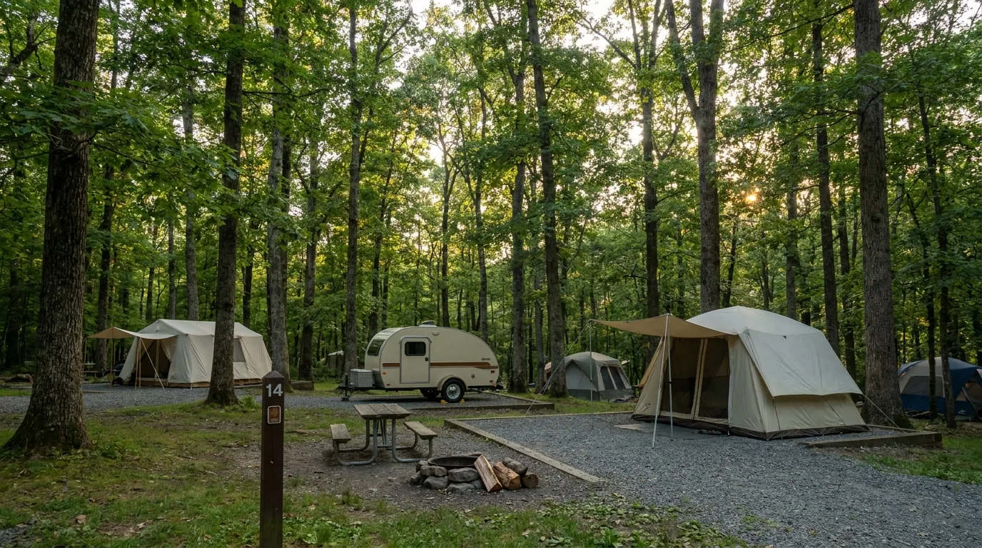
In-park camping sorts into four seasonal campgrounds strung along the Drive, one group tent site in the South District, and a permit-only backcountry. The two things to internalise before you book: there are no RV hook-ups anywhere in the park — dump and fill stations only — and payment on site is card only, because the park is cashless. Reservable sites release in three waves, and the last wave is the one that saves a spontaneous trip.
| Campground | MP | Sites | Services | Reservation | 2026 season | Fee |
|---|---|---|---|---|---|---|
| Mathews Arm North District |
22.1 | ~166 | Flush toilets, drinking water, NO showers, dump station w/ potable water, fire ring + picnic table per site, no hookups | Mix reservable + FCFS | Opens late April 2026 | $30 group/premium to $75 |
| Big Meadows Central — the hub |
51.2 | "more than 200" (217 widely cited — unconfirmed) |
Flush toilets, showers, dump/fill w/ potable water, camp store + wayside + gas station adjacent, amphitheater, limited WiFi at lodge/VC, no hookups | RESERVATION ONLY | Opens 25 March 2026 | $30 up to $75 |
| Lewis Mountain smallest & quietest |
57.5 | 30 | Flush toilets, showers, camp store, picnic areas, limited WiFi/cell. The quiet one | FIRST-COME, FIRST-SERVED ONLY | Opens 26 March 2026 store 25 Mar; cabins 10 Apr–8 Nov |
$30 |
| Loft Mountain largest in the park |
79.5 | 207 loops A–G + tent-only + group |
Flush toilets, water stations, dump station w/ potable water, pay showers at the nearby campstore, no hookups. On top of Big Flat Mountain with AT access and Big Run Wilderness below | Mix reservable + FCFS walk-ups typically sell out weekends |
Opens late April 2026 | $30 up to $75 |
| Dundo Group Campground group tent only |
South District, at Dundo Picnic Grounds — exact MP unconfirmed | 3 group sites (01, 02, 03) | Group, tent-only. No electric. Campfires allowed. Pets allowed. Up to 5 vehicle spaces per site. Min 7 / max 20 people per site. Check-in and check-out both 12:00 PM | Recreation.gov (facility 252470) or 877-444-6777, 2 days to 6 months ahead | Seasonal — dates unconfirmed | Unconfirmed |
No RV hook-ups anywhere in the park. Payment on site is card only — cash cannot be accepted. Big Meadows generator hours are 8–10 a.m. and 4–7 p.m., except in designated generator-free areas, and occupancy is 6 people (or one immediate family) per site; Recreation.gov notes "listed trailer lengths allow for parking a tow vehicle up to 20 feet long on the site driveway." The Dundo milepost, season and fee could not be confirmed — the NPS page 404s; the Recreation.gov facility record is the source for what is listed.
| Where | Location | What it is | Season | Booking |
|---|---|---|---|---|
| Shenandoah River State Park — RV Campground | 350 Daughter of Stars Dr, Bentonville VA — ~8 mi S of Front Royal, ~15 mi N of Luray | 31 sites with ELECTRIC AND WATER hookups, RVs up to 60 ft, tent pads. The nearest real hookup option to the north end | Year-round | reservevaparks.com |
| Shenandoah River SP — River Right Campground | same park | 12 walk-in tent-only sites on the South Fork Shenandoah | Year-round | reservevaparks.com |
| Shenandoah River SP — Cottonwood Primitive Group Camp | same park | 1 group site, up to 30 people, primitive | Unconfirmed | reservevaparks.com |
| Shenandoah River SP — cabins, lodge, yurts | same park — 1,600+ acres on the South Fork, open daily 8 a.m.–dusk | 10 cabins (2–3 BR), 1 six-bedroom lodge (sleeps 16), 3 yurts, 4 camping cabins. Linens NOT provided. Week-long stays required for most cabins between Memorial Day and Labor Day | Year-round unless noted | reservevaparks.com |
| Shenandoah River Outfitters — Camp Outback + river cabins | 6502 S Page Valley Rd, Luray VA | Tent camping at Camp Outback; river cabins all have hot tubs and are open year-round. Saturday steak dinners Memorial Day–Labor Day. Borders George Washington NF | River ops + Camp Outback 1 Apr – 31 Oct; cabins year-round | shenandoah-river.com |
| Front Royal Outdoors — camping / cabins / glamping | 8567 Stonewall Jackson Hwy, Front Royal VA | Cabins, glamping and camping near the river; on-site paddling shop and shuttle | mid-March – early November | frontroyaloutdoors.com |
| Downriver Canoe Company — river camping | 884 Indian Hollow Rd, Bentonville VA | River camping tied to canoe/kayak/tube trips; shuttles for private boats; bike rentals | Unconfirmed | downriver.com |
| Fort Valley Ranch | 299 S Fort Valley Rd, Fort Valley VA — inside George Washington NF, west of the park | RV sites with optional hookups, primitive tent/RV sites, cabins with private kitchen and bath, and horse pens if you're hauling your own stock | Year-round | fortvalleyranch.com |
| PATC cabins | Scattered through and around the park | 49 historic rustic locked cabins region-wide, members and public. PATC also maintains 47 shelters and publishes the authoritative backcountry maps | Year-round (varies) | patc.net |
Operators and their facilities are confirmed from each organisation's own website, but nightly fees for every non-NPS option above were NOT confirmed and change annually — check current rates directly. Full-hookup private RV parks do exist near Luray and Front Royal, but none were verified against an operator website on this pass, so none are named here.
In-park services run on a single concessioner and a short season. Everything else is down in the valley on either side, which is genuinely useful when the Drive is jammed: dropping off the ridge for lunch is the best crowd-avoidance tactic there is. Everything below is a real, currently-trading business whose own website we resolved — seasons, menus and prices change, so we link rather than quote. Two outfitters that appear in older Shenandoah guides are now defunct and are deliberately not listed.
Two gear shops that appear in older Shenandoah guides — Rockfish Gap Outfitters in Waynesboro and Blue Ridge Mountain Sports — are no longer trading (one domain redirects to an unrelated business, the other no longer resolves). We do not list them. Don't plan a restock around either.
Several well-known local businesses were left out because we could not confirm them against a working official website on this pass — a frozen-custard shop in Front Royal whose site failed TLS verification, a Sperryville café reported to be on the market, and several coffee, bakery and cavern operations. They may well be excellent. We just could not verify them, so we do not print them.
Confirmed closed: a Luray brewery that appears in plenty of older guides has shut — its own site says so. Don't drive to it.
Shenandoah has one marquee season and one structural problem, and they're the same thing. Autumn colour on the Blue Ridge is genuinely world-class; the park is 90 minutes from Washington DC and has exactly one road. Everything else — waterfall flow, bug and tick pressure, which facilities are actually open — falls out of the calendar below.
Campgrounds start opening late March — Big Meadows 25 March, Lewis Mountain 26 March (2026) — but Mathews Arm and Loft Mountain don't open until late April. Skyland opens 30 March.
Waterfalls run hardest now and wildflowers peak through April–May. The Drive can still ice over on shaded curves, and the ridge stays 10–20°F colder than the valley.
Old Rag tickets become mandatory 1 March. This is the best window for the Cedar Run–Whiteoak circuit: full water, no haze, no crowds.
Warm, humid and hazy — long-range views wash out on the worst days, which matters in a park whose whole product is the view. Afternoon thunderstorms build over the ridge, and there is no shelter on Old Rag, Bearfence or Blackrock.
Waterfall flow drops off sharply; Overall Run can dry to nothing. Tick pressure is at its peak.
The upside is real: the mountain is genuinely cooler than the valley, every campground is open, and every wayside and store is running.
Skyline Drive stays open unless snow or ice force closure — and after a real storm it can take crews several days to reopen, often in segments between entrance stations.
Most services shut down. Byrd Visitor Center stays open year-round and all six picnic grounds remain open year-round. Big Meadows Wayside — and its fuel — is closed regardless.
You can always walk in at an entrance station or a boundary access point when the gates are shut, which makes for exceptional empty-road snowshoe and ski touring. Ice on shaded curves that look dry is the classic winter hazard.
The mechanics are fixed and public: 400 tickets at 10:00 a.m., 30 days out; 400 more at 10:00 a.m., 5 days out.
In practice, October Saturdays and peak spring and fall weekends move fastest, and the 5-day release is the realistic second chance for anyone who missed the 30-day window.
NPS does not publish sell-out timing — treat that pattern as observed practice, not policy.
Five workable shapes, not the only ones. Each keeps the park's real constraints front and centre — the Old Rag ticket, the fuel gap, the cashless gate, the three booking waves. Adjust freely, but book Old Rag first, fill the tank in the valley, and confirm the pump status and any road closures before you count on them.
Run it before you leave. Tap each item as it's done — these are the ten things specific to Shenandoah that a general road-trip habit will skip. Most of them come back to the same fact: this park's failures are administrative, and every one of them is solvable weeks in advance.
Every guide has these; most don't print them. Shenandoah's fees, lot closures, concession seasons and facility statuses shift, and NPS's own trail pages load dynamically enough that some standard numbers were not retrievable. Everything below was compiled 24 July 2026 and should be re-checked against the linked official source before you rely on it.
Everything above, condensed into a print-ready PDF built for the glovebox — for a park where the phone doesn't work, the gate doesn't take cash, and the one thing you needed to book was due thirty days ago. The Old Rag ticket system and the 2026 lot closure decoded, the four entrance stations and the cashless fee table, the fuel plan for 105 miles with no pump, all four campgrounds and the three booking waves, the paid backcountry permit and its setbacks, the summits and waterfalls with NPS distances and gains, the food-storage rules that include your sunscreen, the pet trail exceptions, the towns on both sides of the ridge, and the honest list of what nobody could confirm — on paper that works where the bars don't.
Every Trekkr Trail Journal is built like this one: custom logistics, honest trail beta, the camping and access detail, and the local knowledge that turns a good trip into the one your crew talks about for years — including, always, a plain list of what we could not confirm. New destinations drop all season long, from the Blue Ridge to the Canadian Shield to the Desert Southwest.
Unlock the Trail Journal Library