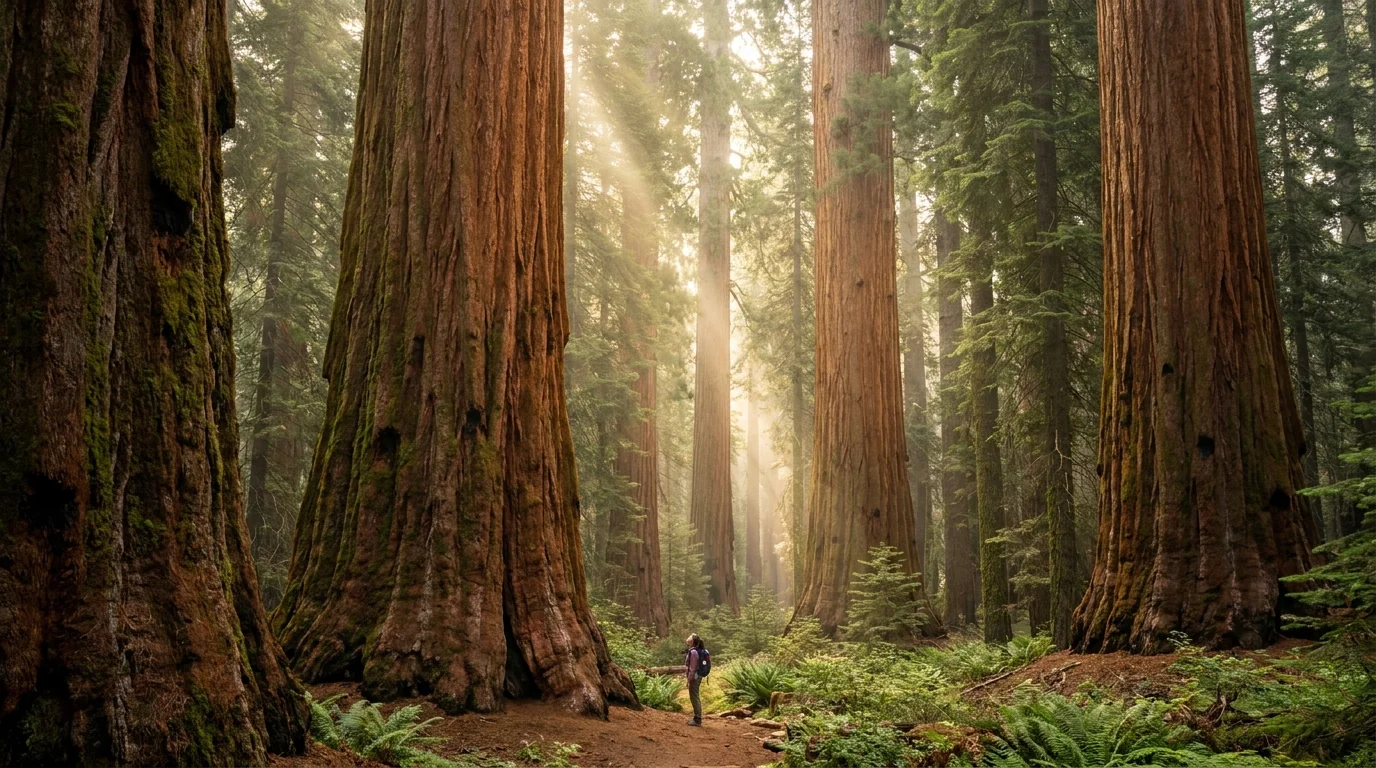
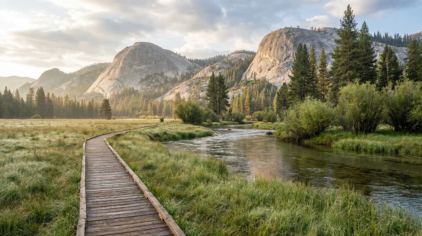
The biggest trees on Earth sit behind a road so steep and tight it bans anything over 22 feet on its worst stretch, a valley where spring marmots chew brake lines, a cave you can only see by advance ticket, and cold, fast rivers that are the leading cause of death here. Two parks run as one. Get the road rules, the reservations and the river discipline right, and you get the largest living things on the planet and one of the deepest canyons in North America.
The rest of this journal is evergreen; this box is not. In these parks a handful of things decide whether your plan works before you lace a boot — how big your vehicle is on the Generals Highway (§02), whether the Mineral King and Kings Canyon–Cedar Grove seasonal roads are open (§03, §05), and whether you hold a Crystal Cave ticket (§03). All are set season by season. Everything below is dated to the day we checked it. Trust the live sources, not our stamp.
Sequoia and Kings Canyon are administered as a single unit, sharing one entrance fee and one backcountry — a vast, vertical slice of the southern Sierra Nevada that climbs from hot 2,000-foot foothills to the crest of the range. The draw is the giant sequoias, the largest living things on the planet, concentrated in the Giant Forest of Sequoia and the Grant Grove of Kings Canyon. But the parks make you work for them: the road to the big trees is a 1920s mountain highway too tight for large RVs, the finest side valley is reached by a road that eats brake lines, the one show cave needs a ticket bought weeks ahead, and the deepest canyon closes for half the year. Solve the logistics and you get sequoias, granite domes, alpine lakes and a canyon rivalling any in the West.
The Giant Forest and Grant Grove sequoias, the granite of Moro Rock, the meadows of Crescent and Zumwalt, and one of the deepest canyons on the continent at Cedar Grove (§04).
From ~2,100-ft foothills (hot, dry, river country) to the ~6,700-ft groves to 7,500-ft Mineral King and the High Sierra beyond. Weather, season and hazards change with every thousand feet you climb (§06).
A length-limited road to the trees, a marmot-and-hairpin road to Mineral King, a ticketed cave, a seasonal canyon road, and permits for overnights. Plan the access first (§02, §03, §05).
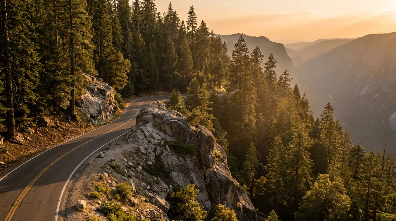
If you take one logistical thing from this issue, take this: the road to the giant trees was built in the 1920s and was never sized for modern rigs. The Generals Highway climbs from the foothills to the Giant Forest in a relentless series of tight, steep switchbacks, and the park publishes hard length limits on its worst stretch. Which entrance you use — and how long your vehicle is — decides your whole approach. Here is how it works.
| Your vehicle / plan | Recommended entrance | The rule | What it means |
|---|---|---|---|
| Car or small van under ~22 ft |
Either — Hwy 198 (Three Rivers / Ash Mountain) for the Giant Forest, or Hwy 180 for Grant Grove | No length restriction, but the grade is real | Drive the whole Generals Highway. Use low gears, take the pull-outs, and don't ride the brakes downhill |
| RV / trailer 22–24 ft mid-size rig |
Hwy 180 (Fresno / Big Stump) to Grant Grove | Over 22 ft prohibited Potwisha → Giant Forest Museum; over 24 ft not advised Foothills VC → Potwisha | You can reach Grant Grove and the General Grant Tree comfortably; to see the Giant Forest, park the rig and take a smaller vehicle or the shuttle |
| Large RV / big trailer over 24 ft |
Hwy 180 to Grant Grove — do not attempt the steep Hwy 198 climb | Length-restricted off the worst stretch entirely | Base at Grant Grove (Azalea/Sunset) or Hume Lake; day-trip the Giant Forest by shuttle or tow/toad vehicle |
Length limits are as reported by the park. Confirm current figures on the NPS vehicle-restrictions page and the road-status line (559-565-3341) before you commit a big vehicle to any approach — restrictions and advisories change.
In peak season the park runs a free shuttle around the Giant Forest / Lodgepole area, linking the Giant Forest Museum, General Sherman, Moro Rock and Crescent Meadow. The Moro Rock–Crescent Meadow spur road is narrow and is often restricted to the shuttle in summer, so the bus is frequently the easiest — sometimes the only — way to reach those two. Confirm the current shuttle routes and dates on the NPS site; they are set each season.
The groves stay open all winter and the snow-draped sequoias are extraordinary — but the Generals Highway then runs on chain controls, and you must carry chains and know how to fit them. Storms can close the road temporarily. The Giant Forest becomes a snow-play and ski-touring area; Wuksachi Lodge and Grant Grove stay open.
There is no fuel inside the parks in some seasons — fill up in Three Rivers or Fresno, and confirm current in-park fuel availability before relying on it.
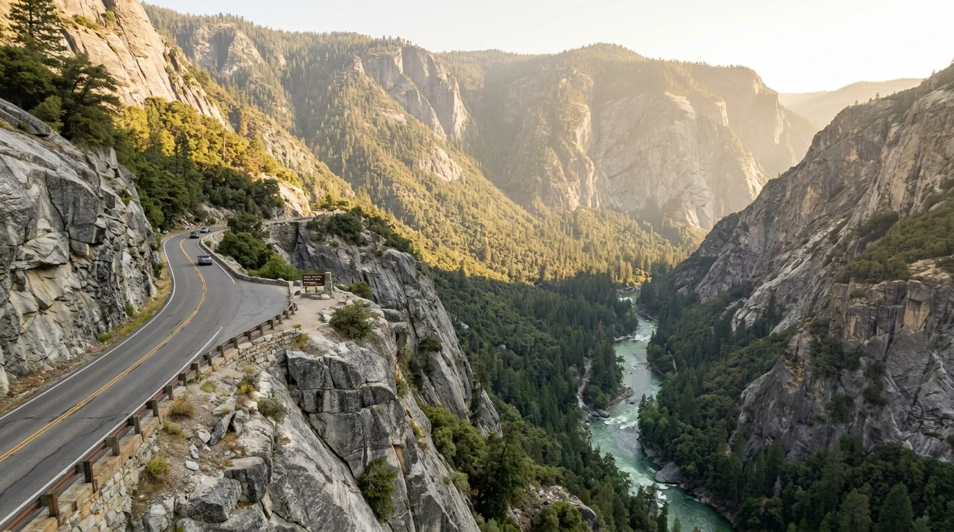
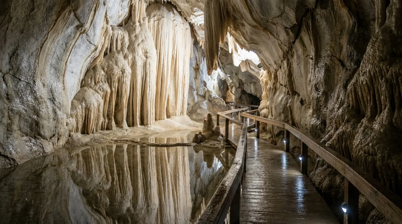
Beyond the Generals Highway, two more pieces of access shape a trip and both run on a calendar. The Kings Canyon Scenic Byway is a spectacular seasonal descent into one of the deepest canyons in North America — open roughly late April to mid-November. And Crystal Cave, Sequoia's one show cave, can only be seen on a guided tour with a ticket bought in advance. Neither is a turn-up-and-go.
Confirm 2026 dates, prices and road access at the source before planning a day around the cave.

Between Grant Grove and Cedar Grove, a spur drops to Hume Lake in Giant Sequoia National Monument / Sequoia National Forest — a small reservoir with a swimmable shore, trout fishing, non-motorized boating and an easy lakeshore loop. There's a Forest Service campground (§07), a store, gas and boat rental near a large Christian conference camp.
Because it's national-forest land outside the park fee area, Hume Lake is a useful, cooler base for exploring both the Grant Grove sequoias and the canyon — often with availability when the park campgrounds are full.
The signature experiences here range from a wheelchair-friendly stroll to a full canyon-floor day hike. The distances and gains below are the best consensus figures from park and trail-guide sources; the parks don't always publish one official table, so treat every number as a planning estimate to confirm at the trailhead, and budget extra time for altitude in the groves (~6,500–7,500 ft) and for heat in the foothills and canyon. All mileages are round trip unless noted.
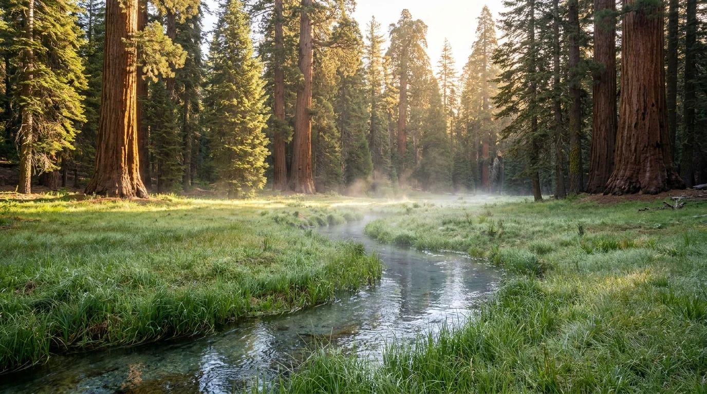
All around the Giant Forest (~6,700 ft), reached up the Generals Highway (§02) and linked by the summer shuttle. This is the densest cluster of must-do short walks in either park.
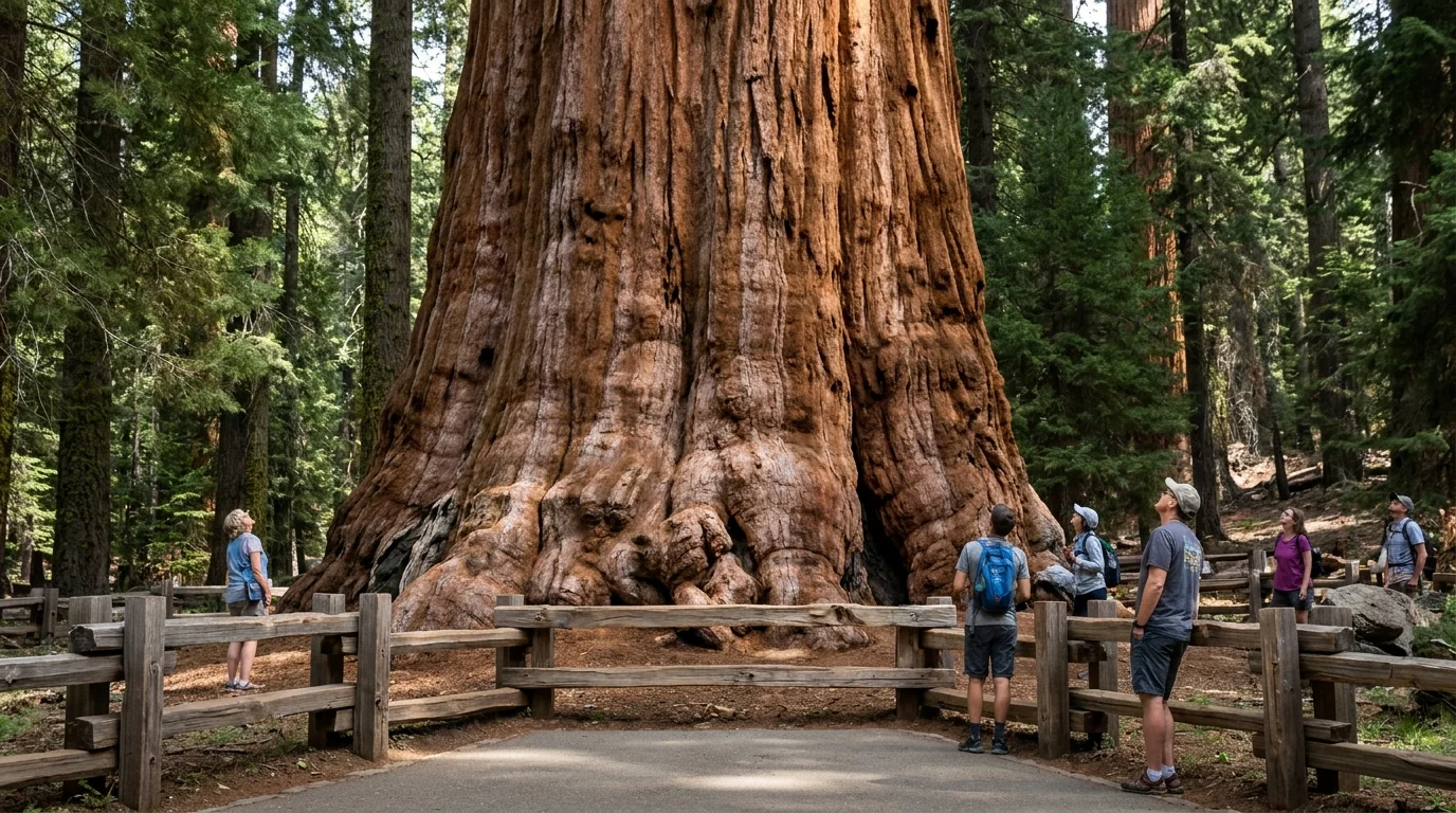
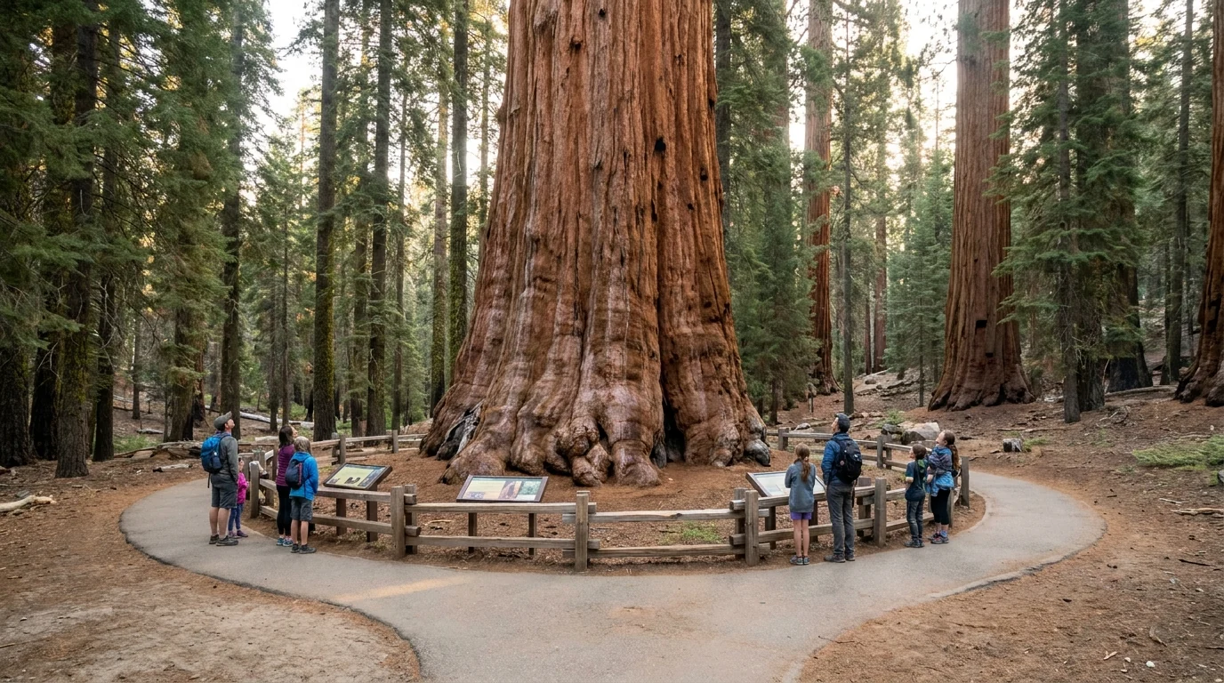
~1 mi round trip · ~200 ft of elevation change. A paved trail drops from the main lot to the base of the largest tree on Earth by volume, then climbs back — the return grade surprises people at 7,000 ft. A separate accessible approach with limited parking avoids the hill. Go at dawn or by shuttle; the lot fills by mid-morning.
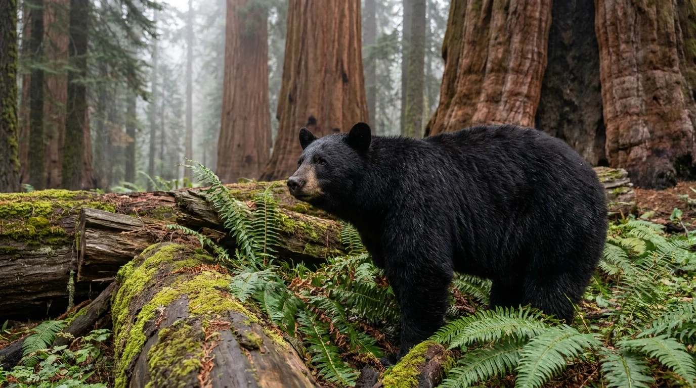
It's the biggest by volume, not the tallest or oldest. Stay on trail — trampling compacts the shallow sequoia roots. Bears frequent the Giant Forest; keep food stored.
From General Sherman, the paved Congress Trail loops ~2–3 mi through the heart of the Giant Forest past the House and Senate groups and the President Tree. The short Big Trees Trail loop around Round Meadow (from the Giant Forest Museum) is fully accessible and interpretive. Distances are estimates — confirm on the park map.
Quiet just a few minutes off the Sherman lot. Flat and forgiving, but still at altitude — pace it, and carry water.
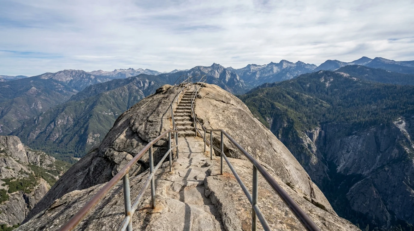
~0.5 mi round trip · ~300 steps, ~200 ft up. A staircase carved into a granite dome to a spectacular summit view. Short, but genuinely steep, with drop-offs and railings — and fully exposed. Reached by the spur road that's usually restricted to the shuttle in summer.
Do not climb it in lightning, ice, or high wind — the exposed granite and metal rails are dangerous in a storm. Not for anyone uneasy with heights or stairs at altitude.
Grant Grove (~6,500 ft) is the gentle-access sequoia hub off Hwy 180; Cedar Grove (~4,600 ft), at the bottom of the seasonal byway, is the canyon-floor base (§03).
~0.5–1 mi loop · minimal gain. A short, mostly-accessible paved loop through Grant Grove to the General Grant Tree — the "Nation's Christmas Tree" and among the largest sequoias alive — plus the Fallen Monarch you can walk through. Reached via the gentle Hwy 180 entrance, so it suits all abilities and larger vehicles.
Open year-round; snow and ice in winter. The best big-tree option for anyone who can't manage the Sherman hill or the Generals Highway.
~8–9 mi round trip · ~600–800 ft of gain from Roads End in Cedar Grove, up the canyon along the South Fork of the Kings to a broad, thundering waterfall — biggest at snowmelt. Mostly gentle grade with a rockier finish. Distance and gain are consensus estimates; confirm at the trailhead.
Stay well back from the river and the wet granite at the falls — the current is powerful and cold (§06). Hot and exposed in stretches; start early and carry plenty of water.
~4 mi round trip · ~600 ft of gain from Lodgepole, up the Marble Fork of the Kaweah to a granite headwall and a long cascade. A rewarding, moderate half-day close to the Giant Forest campgrounds. Distances are estimates — confirm at the Lodgepole trailhead.
Watch children near the water and the granite slabs. Marmots along the trail, and occasionally bears — keep snacks stored and don't feed wildlife.
| Walk | Area | Round trip* | Gain* | Note |
|---|---|---|---|---|
| General Sherman Tree | Giant Forest | ~1 mi | ~200 ft | Biggest tree by volume; accessible route exists |
| Congress Trail | Giant Forest | ~2–3 mi loop | minimal | Paved; House & Senate groups |
| Big Trees Trail | Giant Forest Museum | ~1.3 mi loop | minimal | Fully accessible, interpretive |
| Moro Rock | Giant Forest | ~0.5 mi | ~300 steps | Exposed; no storms; shuttle spur |
| Crescent Meadow | Giant Forest | ~1.5–2 mi loop | minimal | Meadow + Tharp's Log; bears at dawn |
| General Grant Tree | Grant Grove | ~0.5–1 mi loop | minimal | Accessible; open year-round |
| Zumwalt Meadow | Cedar Grove | ~1.5 mi loop | minimal | Byway must be open; flood reroutes |
| Mist Falls | Cedar Grove / Roads End | ~8–9 mi | ~600–800 ft | Full day; deadly river — stay back |
| Tokopah Falls | Lodgepole | ~4 mi | ~600 ft | Family cascade; marmots/bears |
*All distances and gains are consensus estimates from park and trail-guide sources, not a single official table. Confirm at the trailhead. Times are fit-hiker estimates at altitude, not official figures.
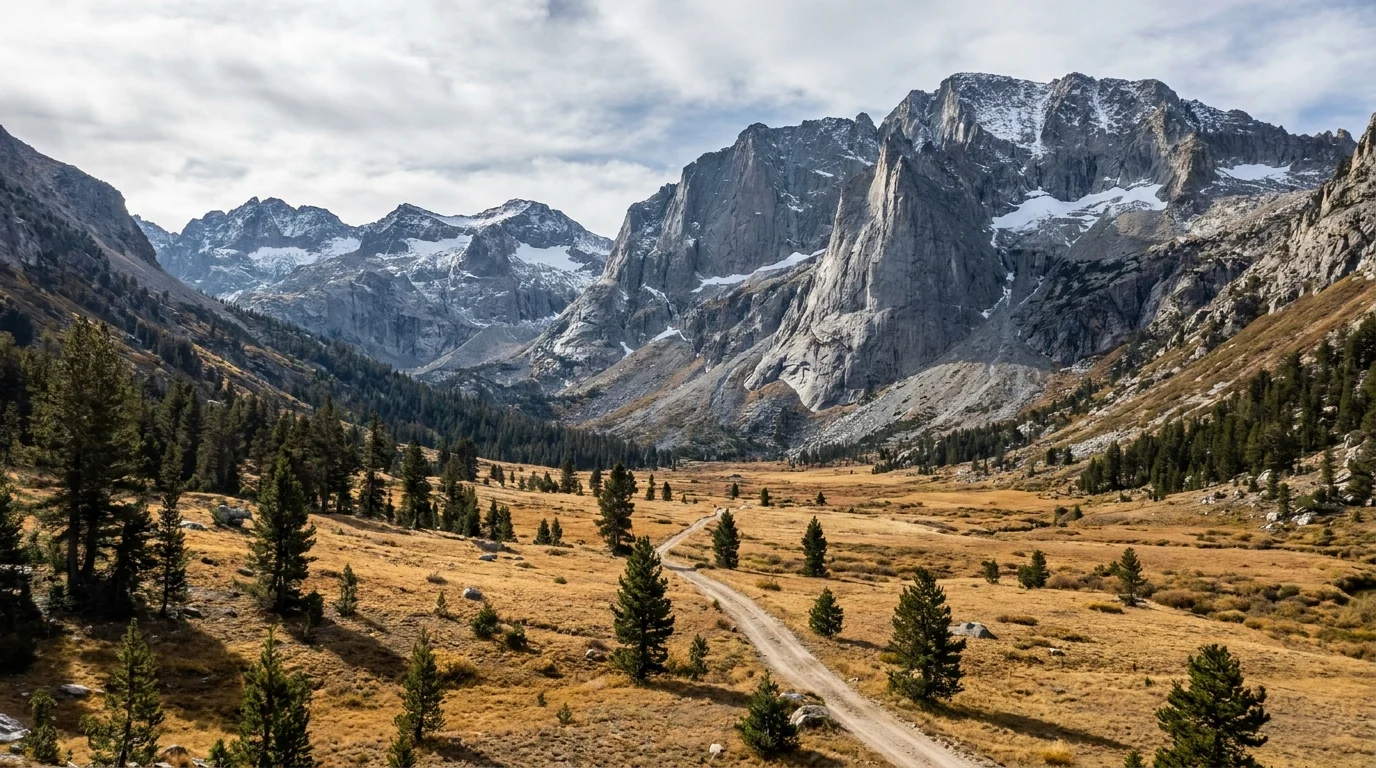
Mineral King is a glacially-carved subalpine basin at about 7,500 feet, ringed by peaks and threaded with high-lake trails — the wildest, quietest corner of Sequoia. It is also reached by a road unlike any other in the parks: long, narrow, largely unpaved in stretches, stacked with hairpin turns, closed all winter, under multi-year construction, and — famously — patrolled by marmots that chew through parked cars' brake lines. We're going to tell you the honest version before you point a car up it.
From Highway 198 near Three Rivers, the Mineral King Road climbs ~25 miles into the valley on a narrow, winding, partly-unpaved route with hundreds of tight turns and long single-lane stretches. RVs and trailers are not permitted. Allow 1.5–2 hours each way — it is a slow, full-attention drive, not a quick spur.
It is seasonal, roughly late May into October, and multi-year construction has been reported with closures and delays through 2027. Snow closes it in winter.
In late spring and early summer, the yellow-bellied marmots at the Mineral King trailheads crawl under parked vehicles and chew on hoses and wiring — including brake lines and radiator hoses — which can disable a car. They've even been known to ride into the valley in engine bays.
The long-standing local fix is to wrap the lower half of the vehicle in a tarp (or chicken wire) to block access to the undercarriage. Bring one if you're parking here in spring or early summer.
The thing most likely to kill you here isn't the one visitors fear. It's the water. Drowning is the leading cause of death in these parks, and the rivers that make the canyons beautiful are icy, fast and unforgiving. After that comes food-raiding bears, a vertical range that swings from foothill heat to alpine cold in an hour's drive, and the standard high-country storm and exposure risks. None of it is exotic — it just has to be planned for.
Confirm the current canister-required zones on the park's wilderness pages when you get your permit.
These parks span an enormous vertical range. The foothills (~2,100 ft) can be brutally hot in mid-summer — carry water, and treat afternoon foothill hikes with caution. The groves sit near 6,500–7,000 ft and Mineral King at ~7,500, high enough that some visitors from sea level feel the altitude — headache, breathlessness, poor sleep.
Pace the first day, hydrate, and don't plan your biggest, highest hike on arrival. Temperatures can swing 30°F+ between the foothills and the high country on the same afternoon — carry layers even on a warm day.
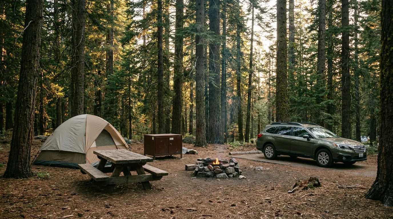
There's no single mega-campground here; instead there are clusters by area, each tied to what you want to do and to the roads that reach them. Most park campgrounds now take advance reservations on Recreation.gov and fill for summer weekends. The standard park site fee was reported at $32; seasons and site counts vary by source and by year, and a couple of campgrounds are reported closed for 2026 — so book by site and read the actual listing. Bear boxes come standard at every site.
| Campground | Area · manager | Sites | 2026 season* | Booking | Notes |
|---|---|---|---|---|---|
| Lodgepole | Giant Forest · NPS | ~214 | ~15 Jun – 1 Dec | Reservation | Closest camp to General Sherman; market & showers; ~6,700 ft |
| Dorst Creek | Giant Forest · NPS | ~218 | Reported CLOSED 2026 | Reservation (when open) | Hazard-tree work reported; confirm status before planning |
| Potwisha | Foothills · NPS | 40 | Year-round | Reservation | ~2,100 ft; hot in summer; on the Kaweah — river safety (§06) |
| Buckeye Flat | Foothills · NPS | ~28 | Reported closed — confirm | Reservation (when open) | Storm/flood damage reported; tent-oriented; low-elevation heat |
| Azalea | Grant Grove · NPS | ~110 | Year-round | Reservation | ~6,500 ft; near General Grant Tree; big-vehicle-friendly via Hwy 180 |
| Sunset | Grant Grove · NPS | ~158 | ~20 May – 8 Sep | Reservation | Max RV/trailer reported 30 ft; walk to the Grant Tree loop |
| Sentinel | Cedar Grove · NPS | ~82 | ~20 May – 15 Sep | Reservation | ~4,600 ft; canyon floor on the Kings — byway must be open |
| Sheep Creek | Cedar Grove · NPS | ~111 | ~6 May – 25 Oct | Reservation | Largest Cedar Grove camp; cold, swift river alongside (§06) |
| Moraine | Cedar Grove · NPS | ~120 | ~20 May – 8 Sep | Reservation | Closest to Zumwalt Meadow & Roads End; byway must be open |
| Atwell Mill | Mineral King · NPS | 21 | ~20 May – 13 Oct | Reservation | Tent-only, no RVs; ~6,650 ft; marmot country (§05) |
| Cold Springs | Mineral King · NPS | 40 | ~15 Jun – 13 Oct | Reservation | Tent-only, no RVs; ~7,500 ft (highest here); base for high trails |
| Hume Lake | Sequoia NF / Giant Sequoia NM | ~74 | ~mid May – mid Sep | Reservation | ~5,200 ft; on a swimmable lake; spurs 15–42 ft; fee not confirmed |
*Seasons, site counts and fees are compiled from Recreation.gov, NPS and Forest Service listings and vary by source and by season. The standard park site fee was reported at $32; Hume Lake's 2026 fee we could not confirm. Dorst Creek is reported closed for 2026 and Buckeye Flat is reported closed — confirm both before planning around them. Book by site on Recreation.gov and read the actual site type, season and price. NPS = National Park Service; NM = National Monument.
Beyond camping there are in-park lodges — Wuksachi Lodge (near Lodgepole), John Muir / Grant Grove cabins, and seasonal Cedar Grove Lodge — plus Three Rivers lodging outside the Hwy 198 gate (§08).
Wilderness overnights need an advance Recreation.gov permit (quota season reported ~22 May – 26 Sep) and a bear canister in specified zones. Day hiking needs no permit. Every campsite has a bear box — use it, and never store food in your car (§06).
The Hwy 198 approach runs through Three Rivers, a small riverside town strung along Sierra Drive just outside the Ash Mountain entrance — the natural place to fuel, eat, sleep and stock up before the Giant Forest. Inside the parks, services are limited to a handful of visitor centers, small markets at Lodgepole and Grant Grove, a few lodges and seasonal food; on the Hwy 180 side, Fresno is the big-city resupply. Plan your last real shopping around that.
Confirm current hours and seasonal openings before relying on any single business — a lot of Three Rivers runs on a seasonal, small-town schedule.
Rafting depends on river flow and is weather/season-limited — and the Kaweah is a serious river (§06). Book with the operator and heed their conditions.
We confirmed no operator pricing — any number you see elsewhere should come from the business. Hours and seasons change; check the current website before you drive over.
The giant-tree groves are open all year, but how much of the parks you can actually reach depends on the season. Summer opens everything at once — Mineral King, the Kings Canyon byway, Crystal Cave, the shuttle and the high campgrounds. Winter narrows the parks to the snowy groves. And the shoulders each have a catch. Pick your window by what you most want to do.
One workable shape, not the only one. It puts the marquee sequoias first, uses the shuttle to beat the parking, saves the long seasonal roads for their own days, and keeps river discipline throughout. Adjust freely — but confirm the seasonal roads are open before you count on Cedar Grove or Mineral King, and match your entrance to your vehicle size (§02).
Run it before you leave. Tap each item as it's done — these are the ten things specific to Sequoia and Kings Canyon that a general road-trip habit will skip. Most come back to a few facts: the road rules and the seasonal gates decide your day, the bears want your food, and the rivers are the real danger here.
Every guide has these; most don't print them. These two parks mix national-park, national-forest and monument land, run several roads and facilities on season-by-season schedules, and were reshaped by recent floods and fires — so some numbers here are estimates, and we've flagged them in place. Everything below was compiled 22 July 2026 and should be re-checked against the linked official source before you rely on it.
Everything above, condensed into a print-ready PDF built for the glovebox — for two parks where the road rules and the seasonal gates decide your day, the signal dies at the trailhead, marmots eat brake lines, and the prettiest riverbank is the deadliest ground in the park. The Generals Highway length limits decoded, the entrance-by-vehicle call, Mineral King told straight, the Kings Canyon byway timing, Crystal Cave tickets, the campgrounds by area with 2026 seasons, permits and bear canisters, the river-safety rule that saves lives, and the honest list of what nobody could confirm — on paper that works where the bars don't.
Every Trekkr Trail Journal is built like this one: custom logistics, honest trail beta, the camping and access detail, and the local knowledge that turns a good trip into the one your crew talks about for years — including, always, a plain list of what we could not confirm. New destinations drop all season long, from the BC corridors to the Oregon Cascades to the California Sierra.
Unlock the Trail Journal Library