The most photographed red rocks in Arizona come with two gates most guides skip: a Red Rock Pass to park, and a Thursday-to-Sunday shuttle that closes the Cathedral Rock and Soldier Pass trailhead lots entirely. This is a landscape where the hardest part of the day is parking the car — and where the creek that makes it green can flash-flood, the summer sun is genuinely dangerous, and in 2026 a fire-and-flood closure sits over Oak Creek Canyon. Solve the parking, start at first light, carry more water than you think, and Sedona delivers.
The rest of this journal is evergreen; this box is not. In Sedona two things decide whether your plan works before you lace a boot — the Red Rock Pass and the free Sedona Shuttle that governs trailhead parking (§02), and whatever fire, flood or seasonal closure is live that week. Both change constantly. Everything below is dated to the day we checked it. Trust the live sources, not our date stamp.
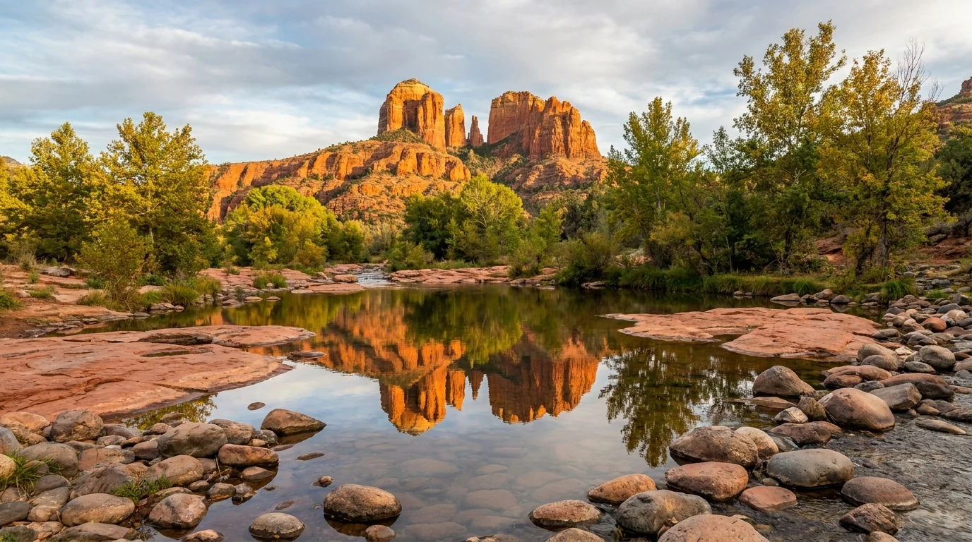
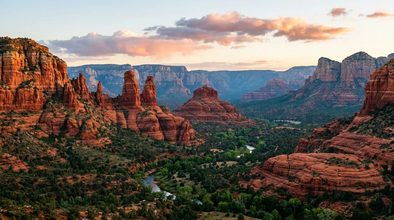
Sedona is the rare landscape that photographs even better than its reputation — buttes and spires of banded red sandstone rising straight out of green pinyon-juniper, a spring-fed creek threading a forested canyon behind them, and light that turns the whole place to embers at either end of the day. It is also the rare one where the single hardest logistical problem is putting the car somewhere legal. The famous trailheads sit behind a Red Rock Pass and, four days a week, a mandatory shuttle; the beloved water hike up the canyon fills before mid-morning and runs on a different pass again; and the whole thing lives with desert heat, monsoon flash floods, and — in 2026 — an active fire-and-flood closure. Solve the access puzzle, start at first light, respect the water and the sun, and you get one of the great short-hike, big-scenery destinations in the Southwest.
Short hikes to enormous scenery — Cathedral Rock, Devil's Bridge, Bell Rock, Boynton Canyon — plus a shaded creek walk up West Fork, ancient cliff dwellings, and one of Arizona's classic drives up Oak Creek Canyon (§03, §04, §05).
A Red Rock Pass to park, a free shuttle that closes the marquee lots four days a week, and separate fees at Slide Rock, Red Rock SP and West Fork. Sort this before you pick a hike (§02).
Trails are shadeless and hot, lots fill early, and the monsoon brings afternoon lightning and flash floods most summer days. Start at first light or change the plan (§06).
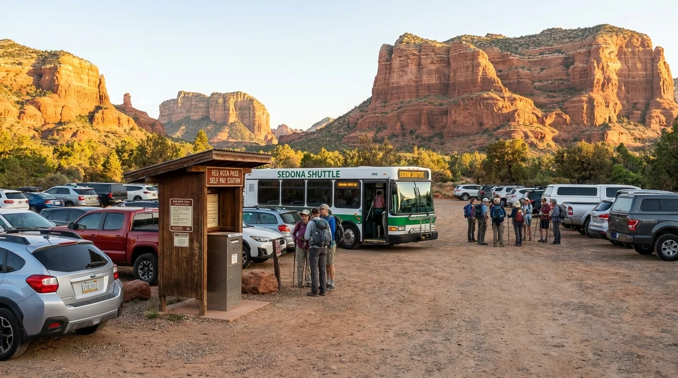
If you take one thing from this issue, take this. Sedona's trails are free to walk — but parking at the trailheads is not, and at the busiest ones it is not even allowed on certain days. Two overlapping systems govern it: the Red Rock Pass, a Forest Service parking permit; and the Sedona Shuttle, a free city park-and-ride that on its operating days closes the marquee trailhead lots and moves everyone by bus. Here is how it was reported for 2026; confirm the exact windows, prices and trailheads at the source, because the schedule is set each season.
| How you park | What it costs (reported) | Where it applies | The catch |
|---|---|---|---|
| Red Rock Pass Forest Service parking permit |
~$5 day / ~$15 week / ~$20 year | Most Coconino NF trailheads around Sedona (Bell Rock, Boynton, Little Horse, many more) | It's a parking permit, not entry. An America the Beautiful pass is honored at many lots instead. Not valid at the state parks or West Fork |
| Sedona Shuttle free park-and-ride — the default on its days |
Free to park and ride | Cathedral Rock, Little Horse, Soldier Pass, Dry Creek (Devil's Bridge), Mescal | On shuttle days the Cathedral Rock & Soldier Pass lots are CLOSED — the bus is the only way in. No Red Rock Pass needed if you ride |
| State parks & West Fork separate fees entirely |
Per-vehicle park fee; West Fork day-use fee | Slide Rock SP, Red Rock SP, West Fork / Call of the Canyon | The Red Rock Pass does not work here. West Fork honors only the Grand Annual Red Rock Pass or pay-at-gate |
Shuttle days/hours were reported as Thursday–Sunday, roughly 8 a.m.–6:30 p.m., with earlier summer hours in June and daily service during spring break; park-and-ride at the North SR-179 lot (Cathedral Rock / Little Horse) or Posse Grounds (Soldier Pass / Dry Creek). Every figure here is the reported 2026 arrangement — confirm the current schedule, prices and trailhead list at sedonashuttle.com and the Red Rock Ranger District before you plan a morning around them.
The Red Rock Pass exists because these are National Forest trailheads, and the fee maintains the lots and trails — it is not a park entrance fee and it does not reserve you a space. If a lot is full, your pass doesn't help; you still have to find parking legally or come back at dawn. An America the Beautiful interagency pass covers the same lots at many trailheads, so if you already own one you may not need to buy a Red Rock Pass at all.
Slide Rock and Red Rock State Parks charge their own per-vehicle fee and the Red Rock Pass is worthless at both. So does the West Fork / Call of the Canyon day-use area, which only honors the pricey Grand Annual Red Rock Pass or a pay-at-gate fee — a normal daily Red Rock Pass will not get you in there.
Dogs are allowed, leashed, on the Forest Service trails and the Sedona Shuttle carries them — a relief for road-trippers, but the hot slickrock burns paws; hike dogs at dawn and carry water for them too.
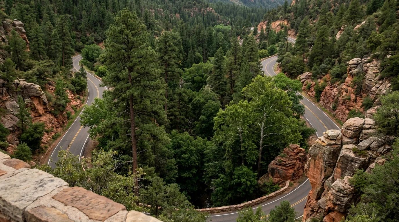
Some of Sedona's best scenery is windshield scenery. One drive is a paved switchbacking climb up a green, spring-fed canyon that is a classic in its own right. Some are short paved loops that string the famous formations together. And a couple are rough high-clearance tracks that only a capable rig should attempt. Know which is which before you plan a day — or point a rental car up something it can't handle.
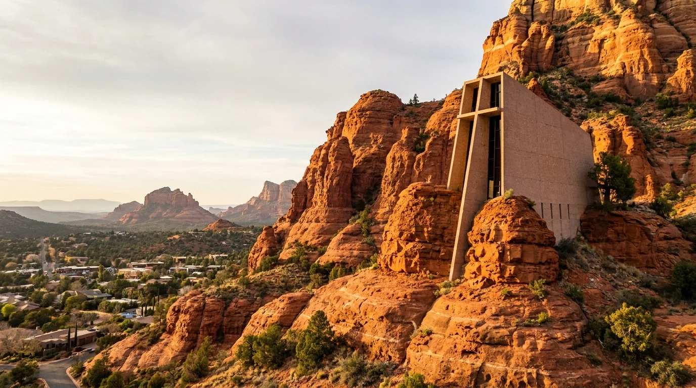
SR-179 south through the Village of Oak Creek is the "Red Rock Scenic Byway," strung with pullouts for Bell Rock, Courthouse and the Chapel of the Holy Cross. Red Rock Loop Road (paved, then a short dirt stretch) leads to Red Rock State Park and the Crescent Moon / Red Rock Crossing view of Cathedral Rock.
Airport Road climbs the mesa to the overlook and Sedona's best sunset view — small paid lot, fills fast (§04). None of these need anything but a normal car.

Schnebly Hill Road is a historic wagon route that climbs from Sedona to the Mogollon Rim past the Merry-Go-Round rock. The lower section is paved to a viewpoint; beyond that it becomes a rough, rocky, high-clearance route that low passenger cars should not attempt, and the top closes seasonally with snow.
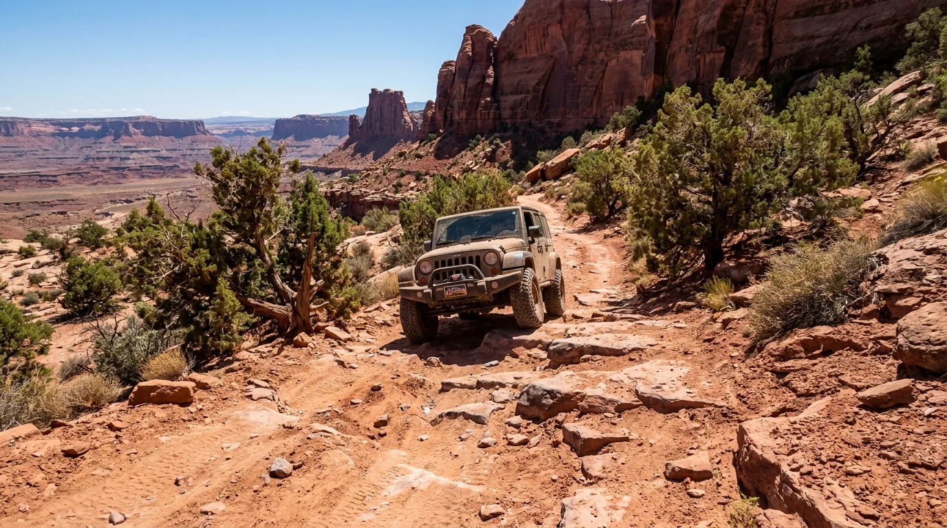
The famous Broken Arrow off-road route is a red-slickrock playground — but the motorized trail is permitted only to Pink Jeep / Pink Adventure Tours (§05); private vehicles may not drive it, though you can hike or bike the Broken Arrow trail.
For the rugged red-rock 4x4 experience without the risk or the route restrictions, a guided jeep tour is the standard call. Confirm road status with the Red Rock Ranger District.
The much-photographed Devil's Bridge is reached either by the free Dry Creek shuttle and a longer walk, or by driving the rough, rocky FR-152 to a closer trailhead — a road that eats stock crossovers and low cars and where people routinely bottom out. Don't take a rental sedan up it. If you don't have high clearance, ride the shuttle and hike the extra distance.
Sedona's best hikes are mostly short — the scenery does not make you earn it the way an alpine range does. But the Forest Service and state parks don't publish one authoritative distance table, distances change depending on which trailhead or shuttle stop you start from, and the terrain is deceptively strenuous in the heat. So treat every number below as a planning estimate to confirm at the trailhead board, budget generously for sun and slickrock, and remember that in summer the binding constraint is temperature, not mileage. All distances are round trip unless noted.
The four everyone comes for. All are exposed slickrock and desert — shadeless, hot, and busy. Distances are widely-cited estimates; confirm at the trailhead.
Roughly 1.2 mi round trip · steep, ~180 m gain. Short but genuinely strenuous — a hand-over-hand slickrock scramble up to the saddle between the towers, with real exposure and route-finding on the rock. The reward is one of Arizona's great viewpoints. On shuttle days the trailhead lot is closed; ride the North SR-179 shuttle.
Not a casual stroll — the scramble is exposed and the rock gets slick; turn around if it's beyond you. The famous reflection photo is from Red Rock Crossing downstream, a separate easy spot. Brutal in midday heat.
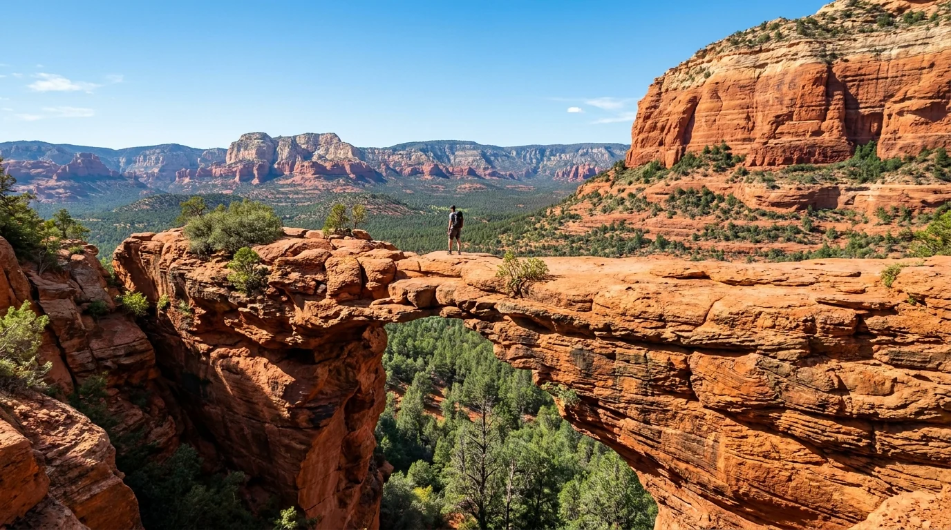
~4+ mi round trip from the Dry Creek shuttle stop (less from the FR-152 high-clearance trailhead), moderate with a short steep final pitch to the arch. The largest natural sandstone span in the area — and the busiest trail in Sedona.
Expect a queue to walk out on the bridge, and don't drive FR-152 in a low car (§03). Fully exposed; carry water and go at dawn. Distance varies a lot by start point — confirm.
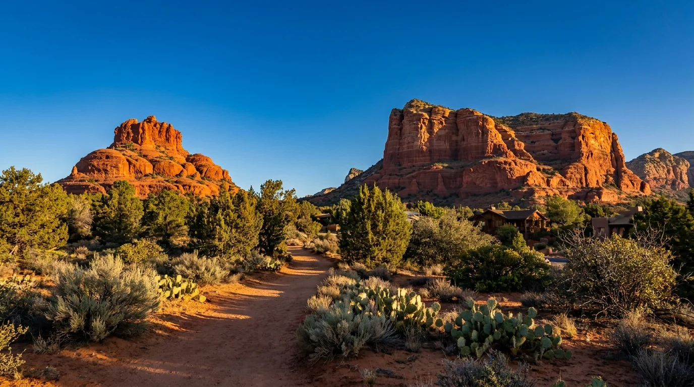
Bell Rock Pathway is easy and mostly flat; the full Courthouse Butte Loop is ~4 mi, modest gain. Start at the Bell Rock or Courthouse Vista lots off SR-179 in the Village of Oak Creek. Optional slickrock ledges on Bell Rock get exposed fast — the loop itself stays gentle.
Fully exposed with little shade — a morning walk in summer, not a midday one. Red Rock Pass required at the trailhead lots. Loop distance is an estimate; confirm at the board.
~6–7 mi round trip · moderate. Walks from open red-rock desert into a cool, forested pocket beneath towering walls, skirting the edge of the Enchantment resort. The short Subway Cave and Boynton "vortex" spurs are popular add-ons. A well-known vortex site, so it draws crowds — arrive early for parking.
Red Rock Pass required at the trailhead. The far end is shaded but most of the walk is exposed. Distances are estimates.
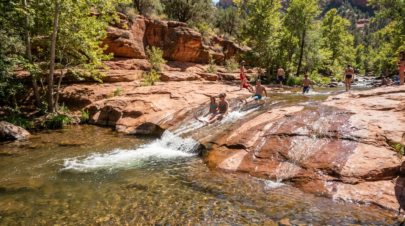
When the red rocks are too hot, the canyon is where locals go. Both of these run on the separate Oak Creek Canyon fee systems (§02), and both carry flash-flood risk in monsoon season (§06).
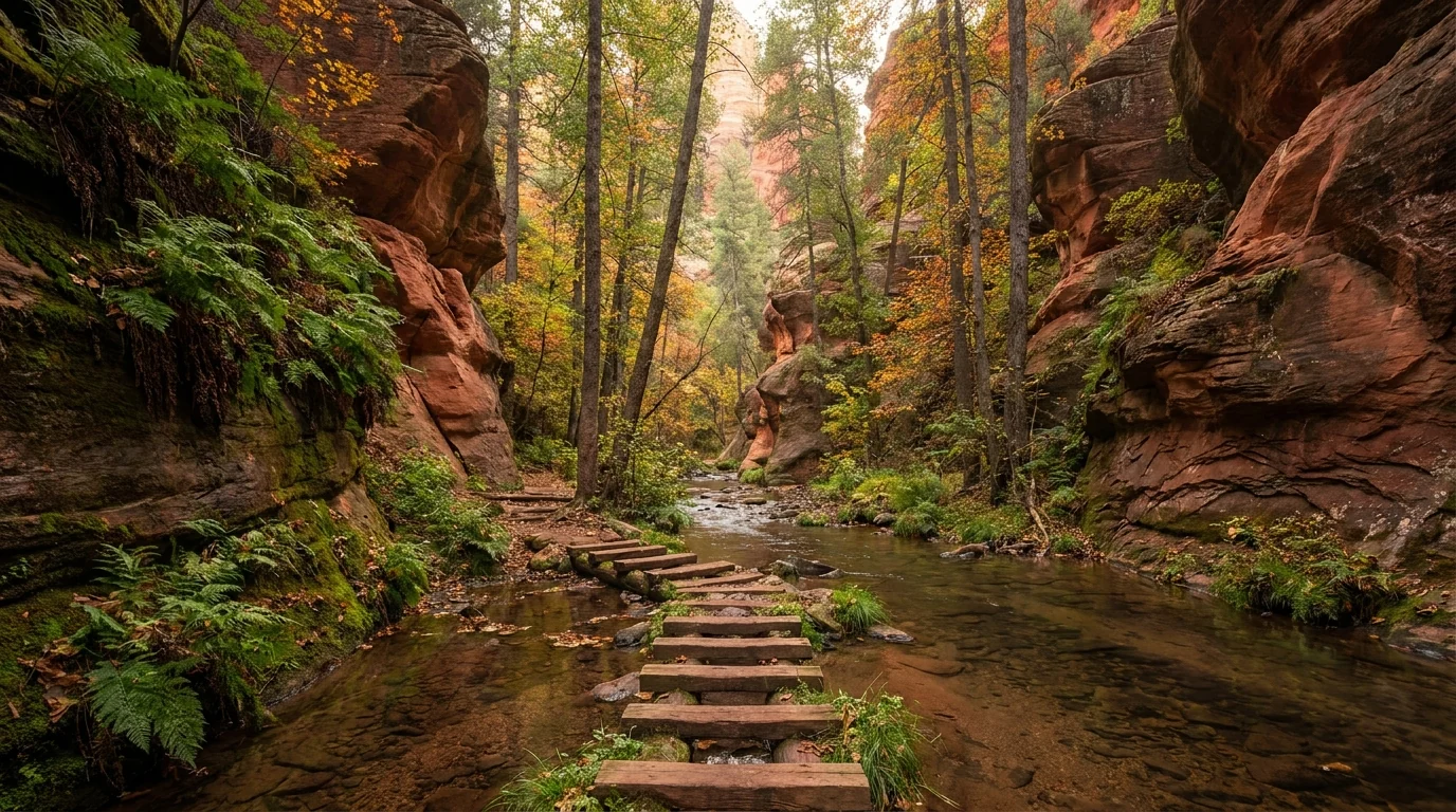
~6–7 mi round trip to where the maintained trail ends · easy–moderate, ~120 m gain. A shaded creekside walk into a narrowing red-walled gorge with repeated shallow crossings — the coolest hike near Sedona and stunning in fall. Park at the Call of the Canyon day-use area.
The lot fills by ~9:30 a.m. daily in busy seasons, only the Grand Annual Red Rock Pass or pay-at-gate is honored, and the area carries flash-flood risk in monsoon — it was also affected by 2026 post-fire flooding. Confirm it's open.
The Airport Loop rings the mesa (~3.5 mi, moderate) with 360° red-rock views, and the paved overlook near the top is Sedona's premier sunset spot. A short, steep scramble reaches the named Airport Mesa vortex saddle. Reached by the paved Airport Road.
The small overlook lot is metered/paid and fills fast at sunset — arrive well before. Loop distance is an estimate.
| Hike | Access / trailhead | Round trip* | Difficulty | Pass / note |
|---|---|---|---|---|
| Cathedral Rock | Shuttle (Thu–Sun) / trailhead lot | ~1.2 mi | Hard scramble | Red Rock Pass / shuttle |
| Devil's Bridge | Dry Creek shuttle or FR-152 (4x4) | ~4+ mi (varies) | Moderate | Red Rock Pass / shuttle |
| Bell Rock Pathway | Bell Rock lot, VOC (SR-179) | flexible, flat | Easy | Red Rock Pass |
| Courthouse Butte Loop | Bell Rock / Courthouse Vista | ~4 mi | Moderate | Red Rock Pass |
| Boynton Canyon | Boynton Canyon trailhead | ~6–7 mi | Moderate | Red Rock Pass |
| West Fork (#108) | Call of the Canyon, SR-89A | ~6–7 mi | Easy–moderate | Day-use fee (Grand Annual RRP or gate) |
| Airport Loop | Airport Rd, Sedona | ~3.5 mi | Moderate | Paid overlook lot |
| Broken Arrow (foot) | Broken Arrow trailhead | ~3–4 mi | Moderate | Red Rock Pass (jeep route = Pink only) |
*All distances are consensus estimates from trail guides and land-manager pages, not a single official table, and several depend heavily on which trailhead or shuttle stop you start from. Confirm at the trailhead board. In summer, temperature — not mileage — is the binding constraint: hike at first light and be off exposed slickrock by late morning.
West of Sedona, past where the pavement ends, are two of the most significant cultural sites in the Verde Valley — Palatki and Honanki — reached by rough forest roads and governed by reservation limits and pass requirements that catch out day-trippers who just show up. And the region's signature red-rock jeep experience, Broken Arrow, is legally restricted in a way most visitors don't expect. Here is the honest version of both.
The famous Broken Arrow off-road route over the red slickrock is exclusive to Pink Jeep / Pink Adventure Tours — the only operator the U.S. Forest Service permits to drive it. Private vehicles may not run the motorized route, though you can hike or mountain-bike the Broken Arrow trail to Submarine Rock and Chicken Point.
Schnebly Hill Road above its paved lower section is a rough, rocky, high-clearance route that closes with snow up on the rim — not for low cars.
Sedona feels gentle — short trails, a pretty creek, a town with a hospital — and that is exactly why people get hurt here. The desert sun is genuinely dangerous even at 4,300 feet; the creek that makes the place green can turn into a wall of water; the beautiful slickrock is slippery when wet and unforgiving when you fall; and the summer sky runs on a violent afternoon clock. None of it is exotic. All of it has to be planned for.
Sedona sits near 4,300 ft, so it is milder than Phoenix and the low desert — but summer days still routinely reach the 90s and low 100s °F, and the red-rock trails are fully exposed with almost no shade. Heat illness on Sedona trails is common and occasionally fatal.
Hike at first light and be off exposed slickrock by late morning. Carry far more water than you think — a liter an hour or more in heat — plus electrolytes and salty food. If you feel dizzy, nauseated or stop sweating, get to shade and cool down immediately.
This is standard desert-safety guidance, not a substitute for your own judgment or a doctor's advice. Know the signs of heat exhaustion and heat stroke before you go.
The rules: never enter a narrow drainage, cross a running wash, or wade Oak Creek when storms are building anywhere upstream; get off high exposed rock if you hear thunder; and treat a rising, muddying creek as an immediate signal to get to high ground. In 2026, post-fire flooding off the Pocket Fire burn scar closed part of Oak Creek — burn scars flood far more violently than intact ground.
The scrambles that make Sedona fun — Cathedral Rock, the Bell Rock ledges, slickrock everywhere — are unforgiving if you slip, and the sandstone gets genuinely slippery when wet or dusty. Wear real trail shoes with grip, use your hands, and don't scramble higher than you can safely down-climb. Most Sedona rescues are heat and falls, not the wildlife.
This is rattlesnake, scorpion and javelina country. Watch where you put hands and feet on rock ledges, shake out shoes, and keep a respectful distance from javelina (especially with dogs). None of it is a major risk with basic care. Flash-flood and heat remain the real dangers. Confirm current wildlife and creek-health advisories locally.
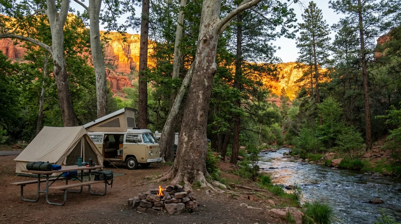
There is no big campground in Sedona itself — the town is hotels and vacation rentals. Camping splits into two very different worlds: the small, cool, creekside Forest Service campgrounds strung up Oak Creek Canyon (beautiful, and in 2026 hit by fire and flood), and the larger, hotter, full-service state-park and RV bases down in the Verde Valley around Cottonwood and Camp Verde. Add heavily-regulated dispersed camping on the forest, and summer fire restrictions that can shut fires off entirely. Book the canyon grounds early, and always have a Verde Valley plan B.
| Campground | Where · manager | Sites | Season* | Booking | Reported fee* |
|---|---|---|---|---|---|
| Manzanita | Oak Creek Canyon · Coconino NF | ~18 (tent only) | year-round (reported) | Mix: reservation + first-come | unconfirmed |
| Cave Springs | Oak Creek Canyon · Coconino NF | large, popular | ~mid-Mar – late Oct/Nov | Reservation | $30 single (+$10 extra vehicle) |
| Pine Flat | Oak Creek Canyon · Coconino NF | ~59 | ~mid-Apr – end Oct | Reservation | ~$26–30 (confirm) |
| Bootlegger | Oak Creek Canyon · Coconino NF | very small | summer (reported) | First-come / reservation | unconfirmed |
| Chavez Crossing (group) | Lower Oak Creek, Sedona · Coconino NF | group only | reported year-round | Reservation (groups) | confirm on Rec.gov |
| Dead Horse Ranch SP | Cottonwood · AZ State Parks | ~149 (incl. ~17 tent) | year-round | Reservation | ~$25 no-hookup / ~$50 electric |
| Clear Creek | Camp Verde · Coconino NF | individual + group | year-round | First-come (indiv.); group reservable | ~$16 (individual, reported) |
| Rancho Sedona RV Park | Uptown Sedona · private | ~84 (~82 full hookup) | year-round | Book direct | seasonal (book direct) |
| Distant Drums RV Resort | Camp Verde · private | full-hookup resort | year-round | Book direct | seasonal (book direct) |
| Lo Lo Mai Springs | Cornville · private | RV + tent + cabins | year-round | Book direct | seasonal (book direct) |
| FR-525 dispersed | West of Sedona · Coconino NF | dispersed, no services | year-round (rules apply) | None (first-come) | Free — no water, no toilets |
*Seasons, site counts and fees are compiled from Recreation.gov, the Forest Service, Arizona State Parks and operator/travel listings and vary by source and season. Several are shown as "confirm" or "unconfirmed" because the listings disagreed. The Oak Creek Canyon campgrounds were affected by the 2026 Pocket Fire and post-fire flooding and may be closed — confirm status before booking. Book by site on Recreation.gov (Coconino NF) or Arizona State Parks and read the actual site type and price.
You cannot legally camp just anywhere near Sedona. Dispersed camping is prohibited in and immediately around town and the developed red-rock trail zones; the best-known free area is out on Forest Road 525/525C west of town — rough graded dirt, no water, no toilets, pack-it-in/pack-it-out, with stay-limit and distance rules that are enforced.
And fire restrictions can ban dispersed camping and all campfires entirely in a dry summer — which is most summers. Check the Coconino NF / Red Rock Ranger District order the week you go, and never assume a campfire is legal.
Sedona itself is compact, complete and expensive: full groceries, gear, guides, a hospital, and more jeep tours than you can count, spread between Uptown and West Sedona. The Village of Oak Creek to the south is a quieter satellite. And down in the Verde Valley — Cottonwood, Cornville, Camp Verde — are the cheaper groceries, the big campgrounds, and the everyday services locals actually use. Plan resupply and camp around that gradient.
Store names and addresses are directional — confirm hours before relying on them. Sedona is expensive; budget accordingly or shop down in the Verde Valley.
Confirm current services, hours and drive times against live mapping; mountain and canyon roads here close for weather, fire and rockfall.
We confirmed no operator pricing — any number you see elsewhere should come from the operator. Phone numbers and hours change; check the current website before you drive over.
Sedona is a year-round destination, but the experience swings hard with the season — and unlike a high mountain range, the constraint here is heat, not snow. Spring and fall are the sweet spots. Summer is hot and, from July, monsoon-stormy, and demands dawn starts and heat discipline. Winter is quiet and mild by day. Whenever you come, the parking and the shuttle usually decide your morning more than the weather does.
One workable shape, not the only one. It front-loads the marquee formations to cool early mornings, works the shuttle days into the plan, keeps a cool-canyon day for when it's hot, and saves the heritage sites and 4x4 for a full day out. Adjust freely — but keep every hike an early start, and confirm the shuttle days and any fire/flood closures before you count on them.
Run it before you leave. Tap each item as it's done — these are the ten things specific to Sedona and Red Rock Country that a general road-trip habit will skip. Most come back to two facts: the parking and the shuttle decide your day before the trail does, and the desert here runs on heat, water and a violent afternoon sky.
Every guide has these; most don't print them. Sedona mixes National Forest, state-park and private land with no single authoritative table of fees and distances, its shuttle and pass rules reset every season, and in 2026 an active fire-and-flood closure sat over Oak Creek Canyon — so more numbers here are estimates than we'd like, and we've flagged them in place. Everything below was compiled 23 July 2026 and should be re-checked against the linked official source before you rely on it.
Everything above, condensed into a print-ready PDF built for the glovebox — for a place where the parking and the shuttle decide your day before the trail does, the sun is genuinely dangerous, and the creek that makes it green can flash-flood. The Red Rock Pass and Sedona Shuttle decoded, the trailheads and their separate fees, the campgrounds by corridor with 2026 realities, the hikes at honest numbers, the Palatki and Honanki caveats, the Broken Arrow and Schnebly Hill 4x4 told straight, the seasons, and the honest list of what nobody could confirm — on paper that works where the bars don't.
Every Trekkr Trail Journal is built like this one: custom logistics, honest trail beta, the camping and access detail, and the local knowledge that turns a good trip into the one your crew talks about for years — including, always, a plain list of what we could not confirm. New destinations drop all season long, from the BC corridors to the Colorado Rockies to the Desert Southwest.
Unlock the Trail Journal Library