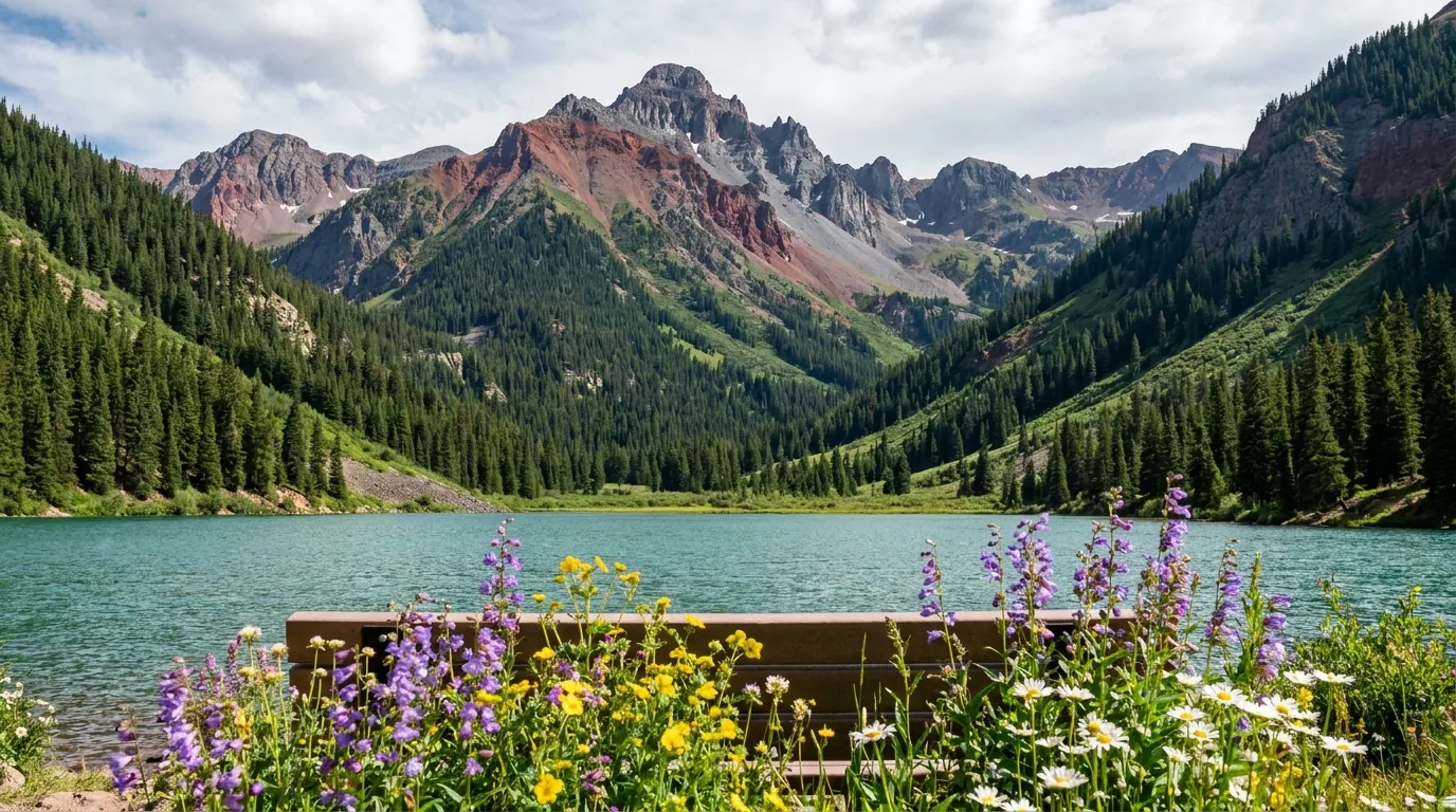
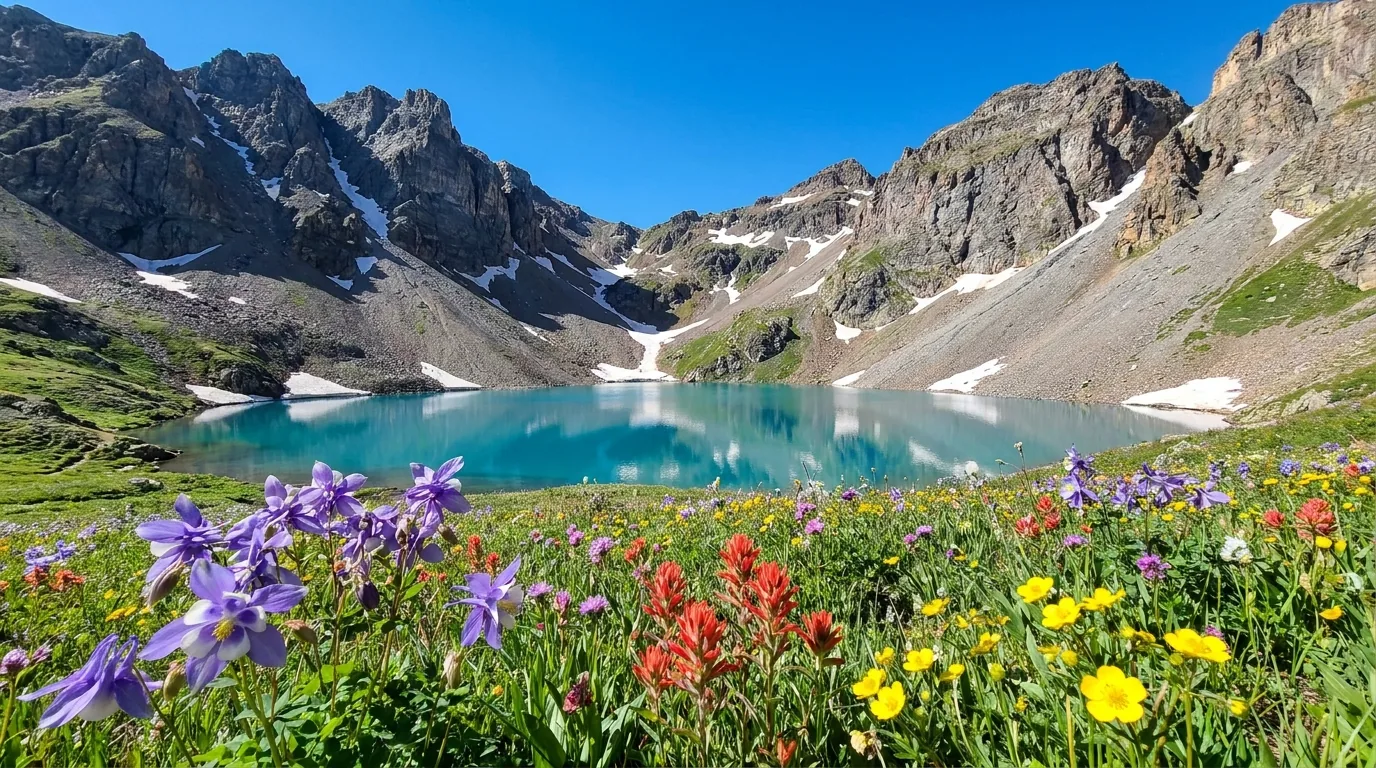
Jagged high alpine peaks above 13,000 feet with old mining roads cut across scree slopes, wildflower basins and a turquoise cirque lake below, warm late light, San Juan Mountains Colorado, ultrarealistic photograph representative of the region
Trekkr Trail Journal · No. 034 · San Juan Mountains

San Juan MountainsDurango, Silverton, Ouray & the Alpine Loop — The Complete Field Guide

Southwest Colorado, where the mining roads went to 13,000 feet and never came back down — the densest concentration of serious high-alpine 4x4 in North America. This issue was written during a fire emergency, and it does not pretend otherwise. Two active wildfires, Level 3 evacuations across three counties, no campfires anywhere on the San Juan National Forest, and a federal closure order whose described area appears to swallow half the Alpine Loop. Everything here is written so it survives both states — the route knowledge is evergreen, the conditions are not.

Colorado · USA Durango · Silverton · Ouray · Lake City Alpine Loop · Million Dollar Highway 2026: Active fire · Stage 2 · Stove only
12,800 ftAlpine Loop high point, per BLM
Stage 2Fire restrictions forest-wide — no campfires
3 of manyCampgrounds we could actually confirm
Late Jun · OctThe two best-value weeks of the year
Conditions verified 19–20 July 2026 · The San Juans are on fire right now · This block goes stale in days — the links don't

Read this before you plan anything else

The rest of this journal is evergreen — the roads, the trails and the towns will still be there. This box is not evergreen, and right now it overrides everything below it. Two wildfires are burning, three counties have Level 3 "GO NOW" evacuation zones, campfires are banned outright across an entire national forest, and a federal closure order appears to contain half the Alpine Loop. We are publishing this issue as a reference, not an invitation. If you are planning a 2026 San Juans trip, the honest advice is to build it around what the agencies tell you the week you travel — not around this page, and not around any page.

  • Gold Mountain Fire — north of Ouray, 37,962 acres, 13% containedDiscovered 27 June 2026 roughly two miles north/northeast of Ouray. As of the 19 July update: 37,962 acres, 13% contained, 967 personnel, Rocky Mountain Complex IMT 2, cause undetermined. Estimated containment date: 31 October 2026. Strategy is risk-based suppression protecting the US 550 corridor, community water systems and infrastructure. Fire information line (970) 355-3286, 8 a.m.–8 p.m. daily; Ouray County hotline (970) 626-5484. The City of Ouray itself remained open with no immediate threat as of the city's 19 July update.
  • Elk Fire — north of Lake City, 0% containedStarted 9 July 2026 north of Lake City, burning in the Uncompahgre Wilderness. As of 16 July: 1,980 acres, 0% contained. Hinsdale County Sheriff issued "GO EVACUATE NOW" for two zones west of Highway 149, with a southern Gunnison County zone in pre-evacuation. Forest Service Road 7868 (Alpine Road) is closed to public access, along with a NFS closure west of Hwy 149 including the Big Blue Trailhead, Alpine Trailhead and Uncompahgre Peak. Highway 149 remains open but carries heavy firefighter traffic.
  • Level 3 "GO NOW" evacuations across three countiesLevel 3 zones have been active in parts of Ouray, Gunnison and Hinsdale counties — including the County Road 14 corridor (Panoramic Heights, Lake Lenore) and Red Stone Road north to Cedar Hill Cemetery east of US 550, with Level 2 and Level 1 zones beyond. Level 3 means leave immediately, not pack carefully. Zones move daily; the county emergency pages are the only current source.
  • STAGE 2 fire restrictions, San Juan NF, forest-wide — a 2026 San Juans trip is a stove-only tripIn effect 12:01 a.m. Wednesday 1 July 2026 through 31 December 2026 unless rescinded (Stage 1 had run since 22 May). What Stage 2 means in practice: no fire, campfire, charcoal barbecue or grill of any kind — including inside developed campground fire rings. The only exception is a device fuelled solely by liquid or gas that can be turned on and off, used in an area cleared of flammable material within three feet. Your propane stove is legal. Your campfire is not, anywhere. Penalties: Class B misdemeanour, up to $5,000 individual / $10,000 organisation and/or up to six months imprisonment. Patrols are active and violators are being ticketed. The recreation.gov Haviland Lake listing carries the same alert. The GMUG/Uncompahgre stage (the Ouray/Ridgway side) was not independently confirmed — assume at least equivalent and check GMUG alerts.
  • The GMUG closure order — and the conflict we are not going to resolve for youA federal closure order in effect 2 July 2026 at 13:00 through 1 October 2026 at 12:00 (amended and signed 4 July) prohibits entering or being upon National Forest System lands and roads in the Ouray Ranger District, Uncompahgre NF, within a described area: all NFS lands in Ouray, Gunnison and Hinsdale counties east of Hwy 550, south of Hwy 50, west of Pinnacle Ridge, north of Matterhorn Peak, and northeast of Cascade and Bridalveil creeks.

    Read literally, that box contains the Engineer Pass corridor — which is half the Alpine Loop. Meanwhile alpineloop.info, last updated 1 July 2026, states the loop is "currently open" and that the Gunnison Forest closure "does not affect the Alpine Loop." That page predates the closure order by one day and the amendment by three. We could not read the order's Exhibit A map because fs.usda.gov returned 403 across this entire research pass. The sources are in direct conflict. We are stating the conflict, not resolving it. Assume closed until an agency tells you otherwise, and confirm with the Ouray Ranger District (970) 240-5300 and BLM Gunnison Field Office (970) 642-4940 before you commit to anything. Reported separately and also unconfirmed: no closures along CR 30 (Cinnamon Pass), which would make the Cinnamon half the viable Lake City–Silverton link.
  • Black Bear Pass — reported closed for 2026, and we could not confirm itBlack Bear is reported CLOSED as of 2026 after multiple emergency closures in 2025, and reportedly has not reopened. We could not confirm this — the San Miguel County road conditions page failed to load during research. Treat it as closed, and under no circumstances treat it as drivable on our word. This is the one-way, no-reverse road: the Bridal Veil switchback section descending into Telluride is ONE WAY, DOWNHILL ONLY, and there is no legal or physical way to reverse it. Once you commit at the top, you are going down. Authority: San Miguel County Road and Bridge, (970) 327-4261. The county will notify the public when the pass is ready for travel. See §03 for why we handle this road the way we do.
  • US 550 — open north of Ouray, but do not treat that as stableCDOT reopened US 550 to through traffic north of Ouray (MP 94–96) at 1 p.m. on 1 July 2026. Ouray County Road 14 east of Hwy 550 remains closed with no estimated opening. Stopping or standing beside the highway between Ridgway and Ouray is not permitted. CDOT warns travellers to be prepared for emergency road closures and detours at any time given extreme statewide fire danger. During the earlier closure, non-local traffic was detoured the long way around over Lizard Head Pass — budget for that detour recurring. Check COtrip the morning of travel, every day.
Live sources · InciWeb — Gold Mountain Fire · GMUG forest alerts & closure orders · San Juan NF alerts · COtrip live map · San Miguel County road conditions · Ouray County high-country roads · City of Ouray — Gold Mountain Fire
Phones · Fire information (970) 355-3286 · Ouray County hotline (970) 626-5484 · San Juan NF (970) 884-2512 · Ouray Ranger District (GMUG) (970) 240-5300 · GMUG Supervisor, Delta (970) 874-6600 · BLM Gunnison Field Office (970) 642-4940 · San Miguel County Road & Bridge (970) 327-4261 · In an emergency, 911.
This box was true at press and will not stay true for a week. The sources above are the truth on the day you travel.
01 / THE HOOK

The mining roads went to 13,000 feet and never came back down

Most alpine ranges make you walk to the high country. The San Juans don't. A hundred and fifty years ago men needed to move ore off peaks that had no business having roads on them, so they blasted shelves into the cliffs and switchbacked up to the mine mouths at twelve and thirteen thousand feet. The mines closed. The roads stayed. What's left is the densest concentration of serious high-alpine four-wheel-drive in North America — and a landscape where you can be drinking coffee at 6,500 feet and standing at 13,000 before lunch.

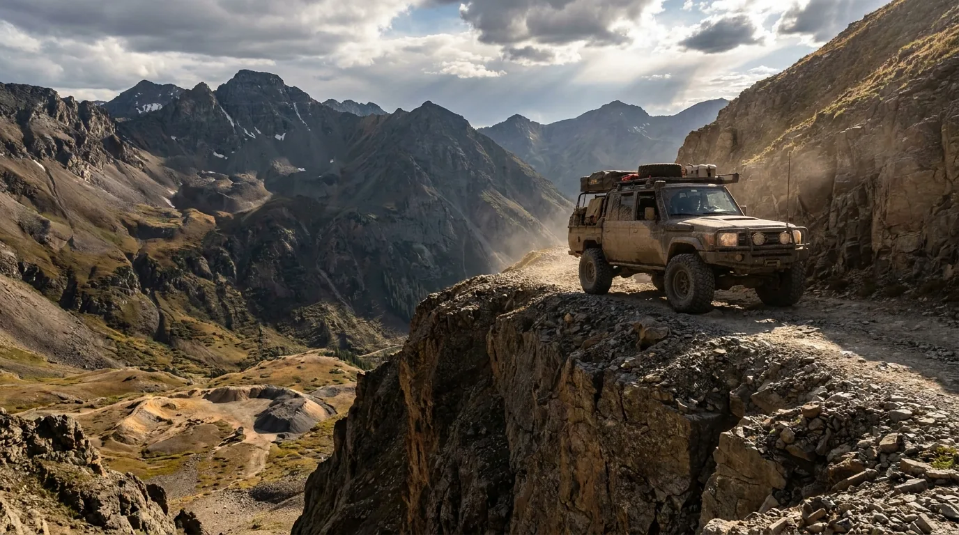
A narrow rocky shelf road switchbacking across a steep alpine slope toward a high saddle above 12,000 feet, no guardrail, remnant snow patches and jagged peaks beyond, San Juan Mountains Colorado, ultrarealistic photograph representative of the region
The old ore roads. Blasted into the cliffs to move rock off peaks that had no business having roads on them. The mines closed; the roads stayed. This is why the San Juans are what they are — and why the vehicle question here is not a formality.

The altitude is the whole story

The Alpine Loop tops out at 12,800 ft per BLM. You can go from sleeping at 6,500 ft to standing above 13,000 in under two hours of driving. That is a faster altitude gain than most people ever experience — and it changes what your body and your engine can do (§08).

Six towns, wildly different

Durango is a real city. Silverton is ~700 people at 9,318 ft with one road in. Ouray is a box canyon you can walk end to end. Lake City sits alone behind a pass. Ridgway is the practical one. Telluride is the expensive one. Your basecamp choice shapes the entire trip (§07).

Multi-jurisdiction, and it matters

San Juan NF, Uncompahgre NF, Gunnison NF, BLM, three counties, and private mining claims scattered right through the alpine basins that are frequently not obvious on the ground. This is not free-camping-anywhere country. The MVUM plus a land-ownership layer is not optional (§06).

The way to think about the region — one paved spine, one dirt loop, and a fistful of passes The paved spine is US 550: Durango, over Coal Bank and Molas passes, to Silverton, then over Red Mountain Pass — the Million Dollar Highway (§04) — to Ouray and Ridgway. The dirt centrepiece is the Alpine Loop (§02), roughly 65 miles linking Lake City, Silverton and Ouray over Engineer and Cinnamon passes. Hanging off both are the famous individual passes (§03) — Imogene, Ophir, Yankee Boy, Corkscrew, Poughkeepsie, and Black Bear, which is reported closed and which we will not describe as drivable. The wider paved circuit — Durango, Silverton, Ouray, Ridgway, Telluride, Dolores, Cortez — is the San Juan Skyway, a 233-mile National Scenic and Historic Byway, and it is the fallback when the dirt is shut.
🔴 How to read this guide in a fire year Everything in sections 02 and 03 describes roads that may currently be inside a federal closure order or an evacuation zone. We have written them as evergreen route knowledge because that is what survives the season — but nothing in those sections can be assumed passable in 2026. The conditions block above and the phone numbers in it are the operative document. If a section of this guide and an agency disagree, the agency is right and we are stale.
02 / THE ALPINE LOOP

The centrepiece — and what BLM will and won't tell you

A roughly 65-mile loop linking Lake City, Silverton and Ouray over two high passes — Engineer and Cinnamon — through the old San Juan mining district. Administered by BLM's Gunnison Field Office with USFS and county involvement. It is the reason most people come. It is also the road where the gap between what the agency publishes and what the internet claims is widest, so we're going to be precise about which is which.

What BLM actually publishes

This is the complete official picture, and it is short:

  • It is "a rugged 4x4 road" requiring high-clearance vehicles
  • Passes reach up to 12,800 feet
  • Best season: summer. No specific opening or closing dates are published
  • "Electronics and wireless devices DO NOT work in most places" — download or print maps beforehand
  • "Make sure someone knows your travel plans and do your homework before you start"
  • Stock up on water, food and fuel before departing
  • "Tackling the loop in its entirety is easily an all-day experience"
  • No fees or permits are mentioned on the BLM page
BLM Gunnison Field Office · (970) 642-4940

What BLM does not publish

No per-segment difficulty ratings. No per-segment vehicle requirements. No turnaround points. No opening dates. Anything more specific than the list on the left is not official — it is community consensus, outfitter knowledge, or somebody's blog.

That's not a criticism of the community sources; the good ones are genuinely useful and more current than any agency page. But you should know which kind of information you're acting on when you point a vehicle at a shelf road, so we label it every time.

On permits: no permit or fee is documented for driving the loop. Vehicles must be street legal for the county road portions, and OHV/UTV legality varies by county and by road segment — a genuine trap. Confirm OHV rules separately with Hinsdale, San Juan and Ouray counties; do not assume a UTV can legally run the whole loop.

No official difficulty ratings existOHV rules vary by county
🔴 2026 — the closure order may contain half this loop Before you read the segment table below: the GMUG closure order running 2 July – 1 October 2026 closes NFS lands and roads within an area described as east of Hwy 550, west of Lake City, north of Matterhorn Peak — and read literally, that box contains the Engineer Pass corridor. alpineloop.info says the loop is open, but that page was last updated 1 July, one day before the order. The sources conflict and we are not resolving the conflict. Assume closed until an agency says otherwise: Ouray Ranger District (970) 240-5300, BLM Gunnison (970) 642-4940. The table below is evergreen route knowledge for a normal year — not a statement that any of it is open now.

Vehicle requirements, segment by segment — consensus, not agency guidance

Every row below is community and outfitter consensus. The only official statement is BLM's blanket "rugged 4x4 road / high-clearance." We print this because readers need somewhere to start, and omitting it would just push them to a worse source — but treat it as directional, and confirm with BLM Gunnison and the Silverton or Lake City visitor centres before you drive.

SegmentCommonly reportedThe honest verdict
Lake City → Lake San Cristobal → lower CR 30 Graded gravel, passenger-car-friendly in dry conditions Stock car OK to about here — this is the turnaround for 2WD
Lower CR 30 → Mill Creek / Sherman Maintained dirt, rougher, high-clearance advised Stock SUV, dry weather only
Silverton → Animas Forks Wide, graded, popular Stock SUV in dry conditions — the other 2WD-ish turnaround
Cinnamon Pass
12,620 ft, reported
The easier of the two passes High-clearance 4x4. Not a stock crossover route.
Engineer Pass
12,800 ft, per BLM
The harder side; shelf road, rock steps, exposure High-clearance 4x4 with low range, experienced driver
Engineer → Ouray
CR 18 / Mineral Point
The steepest, most exposed descent to Ouray The hardest commonly-driven Alpine Loop segment
The one-line answer, if you only read one thing in this section Silverton to Animas Forks, and Lake City to Lake San Cristobal, are drivable in a stock SUV on a dry day. Everything over either pass is a genuine high-clearance 4x4 route. If your vehicle is a rental crossover, an AWD sedan, or anything on street tires with no low range, your trip ends at Animas Forks on one side and Lake San Cristobal on the other. That is not a lesser trip — both of those drives are spectacular, and turning around at the right place is the single most experienced thing a driver does up here.
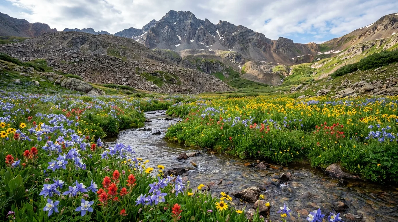
A high alpine basin carpeted with dense wildflowers below steep talus slopes and a 14,000 foot summit ridge, a rough dirt spur road climbing into it, morning light, San Juan Mountains Colorado, ultrarealistic photograph representative of the region

American Basin — the loop's best hour

Off the Cinnamon Pass side, reached via over 20 miles of County Road 30 from Lake City, American Basin is one of the finest wildflower displays in Colorado, peaking mid-July — the same window as Yankee Boy on the other side of the range.

It's also the friendliest 14er approach here (Handies Peak, §05). But plenty of visitors drive up, walk the basin floor, and never touch the summit. That is a completely legitimate day and arguably the better one.

The catch: community consensus is that the final spur into the basin needs high-clearance 4WD, and 14ers.com lists the trailhead as requiring 4WD/AWD. American Basin's parking is tiny and fills by 7 a.m. in July.

Wildflowers peak mid-JulyTiny parking · full by 7 a.m.Spur: high-clearance 4WD (consensus)

Opening and closing — there is no date

There is no fixed opening date, and no agency publishes one. County road and bridge departments, USFS and BLM begin clearing in May, generally targeting most alpine passes open by early July. Ouray County crews reportedly begin clearing in May with a target of opening the Ouray-side high roads by 4 July. Closing is snow-driven, typically autumn, with no published date.

One commercial source reports a specific 2026 opening date in early April with Engineer closed for the first two weeks of June. We are not printing that date as fact — it is a single commercial source and an April opening is implausibly early for a 12,800 ft pass. Confirm with BLM.

No official opening date existsSnowmelt decides, not the calendar

The safety reality

  • 12,800 ft at the high point. Weather at that altitude turns violently, and afternoon thunderstorms are the norm in July and August. Be off the passes by early afternoon (§09)
  • Shelf roads with no guardrail and no room to pass. Uphill traffic conventionally has right of way; on true shelf sections someone reverses, sometimes a long way
  • No cell service — BLM states this flatly. Download offline maps and the MVUM before you lose signal
  • All-day commitment — BLM states this too. There is no quick bail-out from the middle
  • Recovery is expensive and slow. A winch, traction boards, a full-size spare and a second vehicle are the difference between an inconvenience and a helicopter
The 60-second call before you commit to the loop
  1. Phone BLM Gunnison (970) 642-4940. Ask specifically: is the loop open, and is any part of it inside an active closure order?
  2. Phone the Ouray Ranger District (970) 240-5300 if you intend to use Engineer or descend to Ouray. In 2026 this call is the whole ballgame.
  3. Check COtrip for US 550 and the highway approaches — a closed 550 changes your whole shape.
  4. Look at the clock. If it's past mid-morning in July, don't start. This is an all-day road and you want to be down before the storms.
  5. Look at your vehicle honestly. Low range? Real tires? Full-size spare? Second vehicle? If the answer to most of those is no, drive the graded ends and enjoy them.
03 / THE FAMOUS PASSES

The rest of the network — and the one road we won't help you drive

Difficulty ratings in this section are attributed to specific commercial or community sources, because the agencies do not publish difficulty ratings. They are directional, not authoritative, and they change year to year with runoff and rockfall. We have deliberately left some ratings out entirely rather than print a number we can't stand behind. Wrong information on these roads kills people, so where we don't know, we say we don't know.

⚠️ Black Bear Pass — the heaviest hand in this issue

Black Bear Pass is reported CLOSED as of 2026, and we could not confirm that status — the San Miguel County road conditions page failed to load during research. It is the most notorious road in Colorado and the one most likely to get a reader killed, so here is the plain version.

The switchback section descending into Telluride — the Bridal Veil switchbacks — is ONE WAY, DOWNHILL ONLY, every day of the year but one. There is no legal or physical way to reverse it. Once you commit at the top, you are going down. The switchbacks are tighter than the wheelbase of many full-size vehicles — they require multi-point turns on an unguarded shelf above a drop of more than a thousand feet. People have died here.

It closed after repeated incidents involving unsuitable vehicles; in one widely-reported case a driver ignored the posted warnings, got stuck, and shut the pass down. This is not a scenic drive with a reputation. This guide does not encourage anyone to drive it, does not describe it as drivable, and takes no position on when it reopens — San Miguel County decides that.

Authority: San Miguel County Road and Bridge, (970) 327-4261. The county states it will notify the public when the pass is ready for travel by vehicles capable of the journey. Until then, and regardless of what any app or forum tells you: treat it as closed.

One more data point worth knowing: Switzerland of America, Ouray's long-established Jeep rental operation, prohibits taking its rentals on Black Bear or Poughkeepsie — minimum $1,000 penalty. When the people who rent 4x4s for a living carve two roads out of the contract, that tells you something the difficulty ratings don't.

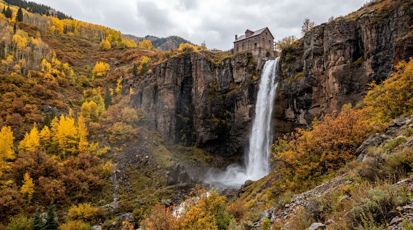
A tall free-falling waterfall dropping down a sheer cliff at the head of a box canyon with a historic stone power house perched at the lip and a narrow shelf road switchbacking below, warm light, Telluride Colorado, ultrarealistic photograph representative of the region
Bridal Veil Falls, at the head of the Telluride box canyon. 365 feet — the tallest free-falling waterfall in Colorado, with the historic power house at the lip. You can walk the road to it in ordinary shoes (§05). Driving down the switchbacks above it is a completely different proposition, and it is reported closed.
Pass / routeLinksReported seasonReported difficultyWhat we'll actually say
Ophir Pass
~12,500 ft
Silverton ↔ Telluride June to early July — often one of the first to clear "Moderate" — community The realistic "first alpine pass" for a competent stock 4x4 — but it still has a shelf section on the west side with genuine exposure and loose scree. Rating unverified.
Imogene Pass
elevation disputed — see note
Ouray ↔ Telluride Typically July "Expert" — onX High, long, exposed and committing. Not a first 4x4 road. Commonly cited as Colorado's second-highest drivable pass.
Yankee Boy Basin
CR 361, Camp Bird Road
Above Ouray, below Mt Sneffels Ouray County crews reportedly clear from May targeting 4 July Two-tier — see right A stock high-clearance vehicle gets you to the flowers; it does not get you to the top. The upper shelf past the switchback becomes a true 4x4 road. Also the Mt Sneffels 14er trailhead. On the Ouray side — may be affected by the Gold Mountain closure.
Corkscrew Gulch US 550 Red Mountain corridor → Gladstone/Silverton Summer Not printed — see right Famous for the red iron-stained slopes and the aspen corkscrew switchbacks. Reported maintained by Ouray County Road and Bridge. Our only sourced rating was a bare "3" with no scale attached, which is not usable information — so we're not printing a rating at all.
California Gulch Silverton network → Animas Forks / Placer Gulch Unknown None — no usable source We found no official or reliable source for difficulty, season or current status. That's the honest answer. Confirm with the Silverton visitor centre or San Juan County before you point a vehicle at it.
Poughkeepsie Gulch Off the Engineer corridor above Ouray Summer Hardcore Not a route for a stock vehicle, ever. Reported as one of the more difficult trails in the San Juans and one that should be left to only the most experienced four-wheelers. The Wall obstacle is the crux and is genuinely a modified-vehicle, spotter-and-winch proposition. Banned in Ouray rental fleets.
🔴 A note on the Imogene elevation, and why we're not giving you a number Our sources give Imogene Pass as 12,840 ft in one place and 13,114 ft in another. That's a 274-foot disagreement on a headline figure, and we couldn't determine which is right. Rather than pick one and sound confident, we're telling you the sources disagree. It doesn't change how you drive the road — but it's a good illustration of why you should be suspicious of any San Juan guide that quotes every number to the foot without ever admitting a conflict.

Where to get real-time trail status — use these, not us

04 / THE MILLION DOLLAR HIGHWAY

US 550, Ouray to Silverton — paved, and still the scariest driving of the trip

Roughly 25 miles of two-lane over Red Mountain Pass (~11,018 ft), past the red-stained Red Mountain slopes and the Idarado mine works, with pullouts looking down into the Uncompahgre Gorge. It is paved. It is open year-round, weather permitting. And for a lot of readers it is more frightening than anything on the dirt — because on the dirt you're going 5 mph and on this you're not.

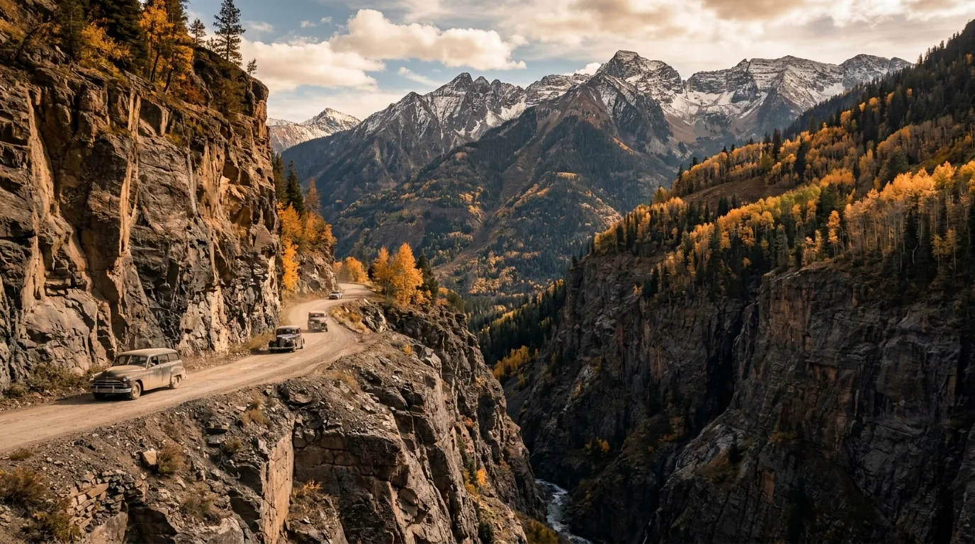
A narrow two-lane paved mountain highway cut into a sheer cliff face with no guardrail, a sheer drop directly off the fog line into a deep gorge, red iron-stained peaks above, warm afternoon light, US 550 Colorado, ultrarealistic photograph representative of the region
The Million Dollar Highway. Cliff-hanging two-lane on an old toll-road grade — no guardrails on long stretches, sheer drops directly off the fog line, tight radii, rock wall on the uphill side. Paved, legal, and driven by RVs in both directions all summer.

The character

Cliff-hanging two-lane with no guardrails on long stretches, sheer drops directly off the fog line, tight radii, and a rock wall on the uphill side. It was cut into the mountainside on an old toll-road grade, which is exactly what it feels like.

There is nothing technically difficult about it. What gets people is the absence of margin — no shoulder, no barrier, and oncoming traffic that includes vehicles considerably wider than the lane wants them to be.

No guardrails · no shoulder~25 mi · Red Mountain Pass ~11,018 ft

If you're towing or driving an RV

It is legal and it is done constantly. Large RVs travel in both directions, which as one source dryly puts it "adds a degree of challenge to people in cars." But a long trailer plus an oncoming RV on an unguarded outside curve is the defining stress of this road.

The practical advice: if you're towing, run it Ouray → Silverton (southbound) so you're on the inside wall rather than the drop side. Drive it early morning before traffic builds, and use the pullouts — let the queue behind you go.

Tow southbound — inside wallEarly morning · use the pullouts
🔴 Rockfall, avalanche and closures — this road shuts without much notice Rockfall is a live risk year-round — a single boulder has closed the highway between Silverton and Ouray in an overnight rockfall event. In winter, Red Mountain Pass is avalanche country with a long and serious accident history: US 550 south over Red Mountain from Ouray/Ridgway typically closes after a foot or more of new snow and is usually the first pass to close. CDOT has installed five permanent avalanche-triggering devices above known slide chutes so control work can happen pre-dawn and shorten daytime closures, and it also runs helicopter avalanche mitigation operations that fully close the highway on scheduled mornings. Check COtrip before you commit, in any season.

2026 roadwork

CDOT ran a four-day surface treatment from Molas Pass (MP 64) to about three miles north of Silverton (MP 73) in June 2026, and a full closure of US 550 on 1 June 2026, 7 a.m.–2 p.m., between Silverton and Molas Pass. Expect more of the same. Check COtrip.

No services, and no dump station

There is no fuel between Ouray and Silverton, and no dump station in that ~25-mile stretch either. Sort both ends before you start. See §07 for the full service hierarchy — the short version is that Durango, Montrose and Ridgway are where you actually resupply.

The colour window, and why people fly in for it San Juan aspens peak from late September into early October — typically a few weeks later than the rest of Colorado — and the high passes above 10,000 ft hold the most vivid colour in late September. The three classic drives are this one, CO 62 over Dallas Divide (Sneffels behind gold aspen, the region's postcard), and CO 145 over Lizard Head Pass. Track it live on the San Juan National Forest's Fall Colors Report. Two cautions: late-September mornings at 9,000+ ft can be in the 20s°F while afternoons reach 60°F — pack for both in the same day — and this is the region's second peak-crowd window after mid-July, with lodging priced accordingly.
05 / THE TRAILS

The roster — and the rule change nobody has caught up with yet

Times below are fit-hiker moving times at altitude. Everything here above ~11,000 ft is a morning objective — see §09 on monsoon storms. Trail numbers in this region disagree badly between sources: the same hike is quoted at wildly different mileages depending on which trailhead and which spur you count, so where they conflict we show both figures rather than pick a winner.

⚠️ Blue Lakes — the biggest planning change in the region, and most guides haven't updated

Per the San Juan Mountains Association, a permit system launches in 2027 — and beginning 31 May 2026 the Blue Lakes drainage already carries a set of rules that will surprise anyone working from an older guide:

  • Human waste must be packed out. Not buried. Packed out. Bring WAG-style bags
  • Bear-resistant food storage required
  • Group size limit: 6
  • 2-night maximum
  • Camping restricted to designated sites at the lower lake only
  • No campfires in the drainage — independent of, and in addition to, the Stage 2 forest-wide restrictions

And the one that isn't a rule but should change your behaviour: E. coli has been detected in the water here. Filter or chemically treat everything, no exceptions. This is a heavily-used drainage and the water quality reflects it.

Confirm the current-year specifics with the Uncompahgre/GMUG National Forest before you go — these rules are new, they are being phased, and the 2027 permit details were not available at press.

A deep turquoise alpine lake in a steep cirque below a rugged 14,000 foot peak, scattered conifers and talus around the shoreline, clear morning light, San Juan Mountains Colorado, ultrarealistic photograph representative of the region
Blue Lakes, on the Ridgway side of Mt Sneffels. The drainage now carries packed-out human waste, bear-resistant storage, a group limit of 6, a 2-night max, designated lower-lake sites only and no campfires — with a permit system coming in 2027. E. coli has been detected in the water. Treat everything.

The one with the new rules · read the box above firstBlue Lakes (Ridgway side of Mt Sneffels)

6.5 mi round trip, 1,680 ft to Lower Blue Lake; 9 mi round trip, 3,800 ft to Blue Lakes Pass, per SJMA. AllTrails users log the full lower/middle/upper circuit at ~8.6 mi / ~2,522 ft. Moderate to the lower lake (4–6 hrs); hard to the pass (7–9 hrs).

Trailhead at 9,360 ft at the end of County Road 7 (Dallas Creek) — from Ridgway, Hwy 62 west ~4.8 mi, then CR 7 east ~9 mi. High-clearance recommended; the last 2 miles are the rough part. Not a 4x4-only road. Southern access via CR 361 (Camp Bird Road) from Ouray ~9.2 mi to the Wright's Lake side — high-clearance necessary. Typically snow-free late June through mid-September.

E. coli in the water — filter or treat everything. Parking fills early July through Labor Day; afternoon thunderstorms routine July–August. And the new drainage rules above are not suggestions.

Pack out human wasteGroup limit 6 · 2-night maxPermit system 2027Snow-free late Jun – mid-Sept
6.5 mi / 1,680 ft to lower lake
9 mi / 3,800 ft to the pass
TH 9,360 ft · high-clearance

Status genuinely unresolved — do not assume it's openIce Lakes Basin & Island Lake (Silverton)

7.0 mi round trip, 2,430 ft to Ice Lake; 8.4 mi, 2,552 ft to Island Lake, per Durango Trails. The first 2 miles alone gain ~1,600 ft. Intermediate–expert; budget 6–9 hours for Island Lake. Access is US 550 north from Durango toward Silverton, then County Road 7 / Forest Road 585 (South Mineral Road) ~4 miles to the trailhead. A regular car can normally do South Mineral Road — it's graded gravel, not a 4x4 route.

The upper basin's water is a genuinely improbable milky turquoise — glacial rock flour, not filtration. Snow-free window is roughly July through late September; the upper bowl can be white into early July.

This is a burn-scar drainage above a steep road. Rain events here move rock and wood. Do not be in the lower drainage during a downpour, and do not camp under standing dead snags.

Status unresolved — see below7.0–8.4 mi · 2,430–2,552 ftNo 4x4 needed for the trailhead
7.0 mi / 2,430 ft — Ice Lake
8.4 mi / 2,552 ft — Island Lake
6–9 h · burn scar drainage
🔴 Ice Lakes — we could not determine whether the trail is open, and we're not going to guess The Ice Fire burned in October 2020, roughly five miles west of Silverton on the north side of South Mineral Road, right at the Ice Lakes Trailhead — reaching just under 600 acres and triggering a helicopter rescue of 28 stranded hikers. The lakes themselves did not burn. The trail to them did, in part heavily. The Forest Service closed the Ice Lakes Trail, South Mineral Campground and Clear Lake Road, and extended that closure to 15 September 2021 because of fire-weakened trees, erosion and flash-flood risk.

Here is the unresolved part. Durango Trails' trail page still carries a closure and fire-hazard notice warning of "numerous fire-weakened trees on the lower sections" and unstable rock, tree and soil conditions. Whether that reflects a live 2026 closure or a stale page, we could not determine — the San Juan NF trail page returned 403 like everything else on fs.usda.gov. So: check the San Juan National Forest Ice Lake Trail page and the forest's alerts page before you drive out. Do not rely on a blog, and do not rely on us. This is one of the most-photographed hikes in Colorado and the internet is full of confident, undated claims about its status.

An intensely turquoise alpine lake sitting in a high basin ringed by steep dark peaks and lingering snowfields, wildflowers on the shoreline benches, clear morning light, San Juan Mountains Colorado, ultrarealistic photograph representative of the region
The colour that made Ice Lakes famous. Glacial rock flour suspended in meltwater, not filtration. The lakes survived the 2020 Ice Fire — the trail below them did not, entirely. Confirm the trail's status with San Juan NF before you commit the drive.

Chicago Basin, and the best access story in Colorado

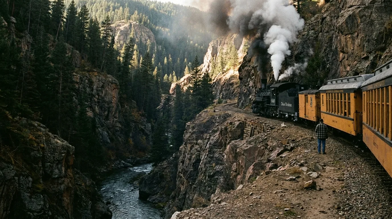
There is no road to Chicago Basin. The standard approach is to buy a backpacker ticket on the Durango & Silverton Narrow Gauge Railroad, ride a coal-fired steam train roughly 30 miles / 2.5 hours up the Animas Gorge, and step off at Needleton — a flag stop in the wilderness with no town, no road and no services. Days later you stand beside the tracks and flag the train down to get out. It deserves telling properly, so here it is properly.

A coal-fired narrow gauge steam locomotive hauling vintage carriages along a ledge cut high above a river gorge with steep forested walls, smoke trailing, warm light, Animas Canyon Colorado, ultrarealistic photograph representative of the region

The Needleton flag stop

Booking is the part people get wrong. Backpacker tickets cannot be booked online — you must call the railroad. And only trains starting in Durango do hiker drop-offs at Needleton. A Silverton-origin train will not put you off there.

From the train it's a half-mile walk to the trailhead, then 5.5–6.5 miles with 3,000 ft of gain to the basin at 11,200 ft. The train arrives around 11 a.m., which puts you in the basin mid-to-late afternoon — plan your first day around that, not around a dawn start.

Backpacker fares and the 2026 schedule were not confirmable in our research — call to book, at durangotrain.com/backpacking-train.

Phone only — not sold onlineDurango-origin trains only~30 mi · 2.5 h · arrives ~11 a.m.

The peaks, and the rules

Chicago Basin is the base camp for Mount Eolus, North Eolus, Sunlight Peak and Windom Peak. Eolus/North Eolus share a saddle and Sunlight/Windom share another, so the standard trip is two peaks a day over two days. These are not walk-up 14ers — Sunlight's summit block in particular is a committing move. Route-check every one at 14ers.com before committing.

Rules that are enforced by consequence: no campfires anywhere in the Needle Creek drainage, including Chicago Basin, Twin Lakes Basin and the alpine basins below Columbine Pass. No camping in Twin Lakes Basin. Camp in existing sites 100+ ft from water. Group size limit 15. Pack out toilet paper; WAG-style bags are strongly recommended in this heavy-use basin.

No campfires in the drainageGroup limit 15Season: late June – September

The goats, the crowds, and the alternates

It is not a wilderness solitude experience in season. Peak visitation runs 4 July through Labor Day, the train can deposit 40+ people a day, and there can be 100 people camped in the basin at once. Go in knowing that and it's fine; go in expecting emptiness and you'll be annoyed.

The mountain goats are habituated to human urine and will approach camp for the salt. Urinate well away from camp and on rock. Hang your gear — marmots chew through packs and straps for the same reason.

Road-accessible alternates, no train: Purgatory Flats — 14.5 miles total, with a 1,500 ft descent first and then 3,000 ft of climbing (you pay for it on the way home). Vallecito Trail — 17.5 miles, and it requires creek fording that is dangerous in spring runoff and monsoon season. The Purgatory approach costs you the miles but you'll have it almost to yourself.

Goats hunt urine salt — go on rock40+ people/day off the train

The friendliest 14er here — because the road does the climbingHandies Peak (14,058 ft) via American Basin

5.75 mi round trip, 2,500 ft from the American Basin trailhead at 11,600 ft; 7.75 mi / 2,800 ft if you park at the bottom of the spur. Class 1, rated intermediate, 4–6 hours — one of the most achievable 14ers in the state, precisely because the road does most of the climbing for you.

The catch is the access. The trailhead is reached via over 20 miles of County Road 30 (Cinnamon Pass Road) from Lake City, and 14ers.com lists the trailhead as requiring 4WD/AWD. Community consensus is that the final spur into American Basin needs high-clearance 4WD, while the Silver Creek/Grizzly Gulch trailhead can usually be reached by high-clearance 2WD in dry summer conditions. Confirm road status with BLM Gunnison / Lake City before driving. Alternate: Grizzly Gulch (East Slopes), roughly 5.5–8 mi round trip with ~3,600–3,650 ft. Grizzly Gulch down into American Basin makes a ~11-mile loop — but only with a shuttle arranged.

The easy Class 1 rating fools people. You start at 11,600 ft and finish above 14,000, the exposure to weather is total, and there is no fast way down. Summit by 11 a.m. Season is bounded by the Alpine Loop opening — typically late June/early July to early October.

5.75 mi / 2,500 ft · Class 1Summit by 11 a.m.Access: 4WD/AWD per 14ers.com
TH 11,600 ft → summit 14,058 ft
5.75 mi / 2,500 ft · 4–6 h
20+ mi of CR 30 to reach it

The best town hike in Colorado · no car neededOuray Perimeter Trail

5.6 mi loop, ~1,800 ft of gain and loss, 4–5 hours, starting at 7,700 ft and topping out at 8,500 ft at the Potato Patch, per the Ouray Trail Group. The Colorado Mountain Club quotes ~6 mi / 1,600 ft — treat 5.6–6 mi as the honest range. Trailhead is across from the Ouray Visitors' Center on the east side of US 550; park behind the Visitor Center. You can walk to it from anywhere in town.

What you pass: four waterfalls, six bridges, the Ouray Ice Park gorge, Cascade Falls, a suspension bridge over the Box Canyon gorge, plus a "rocktopus" formation and a troll hidden under the Oak Creek bridge. Snow-free roughly May–October; icy patches shoulder-season, and sections are hikeable year-round with traction.

It is not a flat stroll. Numerous stairs, steep pitches near Box Canyon, rocky uneven footing, a low-clearance tunnel you must duck through, and sections alongside busy US 550 and CR 361 traffic. Good footwear and poles genuinely recommended.

Walk to it from town5.6–6 mi · ~1,600–1,800 ft · 4–5 h4 waterfalls · 6 bridges
Loop from town · 7,700 → 8,500 ft
5.6–6 mi · 4–5 h
stairs, tunnel, exposure

The serious one · strongest caution in this issueBear Creek National Recreation Trail (Ouray)

14.1 mi round trip with 4,230–4,400 ft of gain if you push to Horsethief Trail or toward Engineer Pass. Most people turn at the Grizzly Bear mine (2.4 mi) or Yellow Jacket mine (4.2 mi) — the Forest Service describes the trail as ~4 miles to the Yellow Jacket. Hard: a short out-and-back is 3–4 hrs; the full route is a full day. Roughly June–October.

Trailhead is two miles south of Ouray on US 550 — park in the large loop space immediately past the south end of the tunnel; the trail crosses over the tunnel's west side. No 4x4.

The Ouray Trail Group states outright it is "not recommended as a first hike for people just getting up to this altitude, for those fearing steep dropoffs, or for those with venturesome children," with considerable open exposure if weather turns bad. Opening switchbacks gain ~1,000 ft and cross unstable talus; above them the trail narrows to a blasted ledge with sheer drops and rockfall from above. Crossing US 550 on foot to reach it is itself a hazard.

Not a first hike at altitudeBlasted ledge · sheer dropsTurn at 2.4 or 4.2 mi
Full: 14.1 mi / 4,230–4,400 ft
Grizzly Bear mine 2.4 mi
Yellow Jacket mine 4.2 mi

Advanced · the crux is a real moveEngineer Mountain (Coal Bank Pass, Durango side)

Sources conflict sharply and we're showing both. Durango Trails, the official trail org, gives 9.2 mi, 3,600 ft, "Advanced." The direct Pass Creek ascent is commonly quoted at 4.4 mi round trip / 2,378 ft. Use both: the short number is the summit push from Coal Bank, the long number is the fuller trail system.

Trailhead is Coal Bank Pass on US 550, ~34–35 miles north of Durango / ~13.5 miles south of Silverton — a paved highway pullout, no 4x4. July–August for wildflowers; snow lingers into mid-summer on the timbered north aspect.

Durango Trails cites a narrow ridge, loose talus, and an exposed crux move near the summit. Plenty of people hike the pleasant meadow approach and then get talked into the summit block by momentum. The crux is a real scrambling move with consequence — turning around at the base of the summit pyramid is the correct call for most hikers.

4.4 mi / 2,378 ft (summit push)9.2 mi / 3,600 ft (full system)Exposed crux move
Coal Bank Pass trailhead
paved pullout · no 4x4
advanced · exposed crux

Ouray's short list — waterfalls you can reach on foot

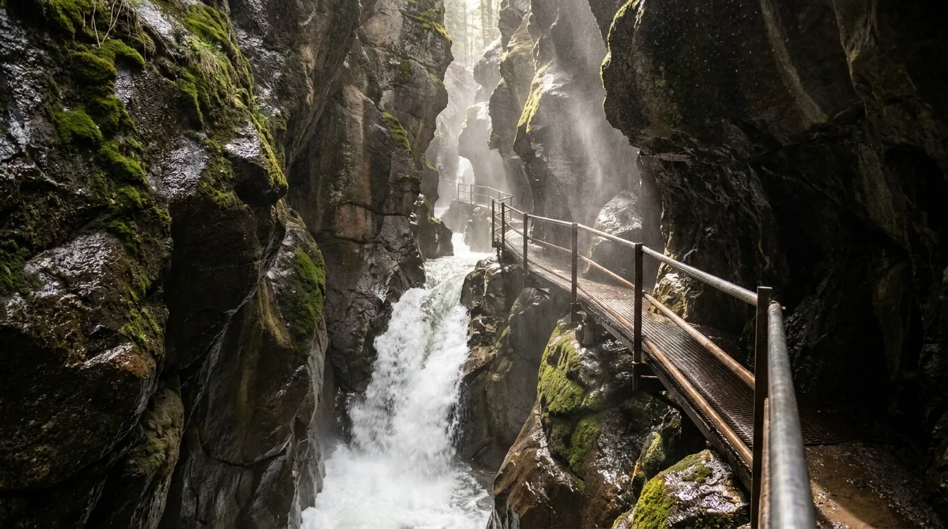
A powerful waterfall thundering through an extremely narrow dark slot canyon with wet rock walls and a bridged metal walkway bolted to the side, spray in the air, Ouray Colorado, ultrarealistic photograph representative of the region

Box Canyon Falls & Park

A city-owned park where Canyon Creek drops through a slot so narrow it's dark at midday. Short bridged walkway to the falls, plus a High Bridge trail above. The lower falls walk is minutes, not miles. In town, off Hwy 550 at the south end of Ouray. No 4x4.

Admission: our sources disagree — one cites $5, another $8 per person. We're not picking one. Confirm with the City of Ouray / Visit Ouray before you budget. The Perimeter Trail crosses above the gorge for free; entering the lower canyon requires the fee. Seasonal operation — dates unconfirmed.

Caution: wet, slick metal walkways and constant spray. Not a good spot for unsteady footing, and the noise makes it hard to keep track of kids.

Fee: $5 or $8 — sources disagreeSlick walkways · loud

Cascade Falls & Upper Cascade / Chief Ouray Mine

Lower Cascade Falls is a very short walk from a trailhead at the east edge of town — one of the easiest waterfall payoffs anywhere. Upper Cascade Falls / Chief Ouray Mine: 4.4 mi round trip, 1,530 ft gain, moderate–hard, 3–4 hours, reached from the Amphitheater area above town; standard vehicles reach the Amphitheater on a paved/graded road. Late May–October depending on snow on the traverse.

Caution: the upper trail is a cut ledge with exposure, and the historic Chief Ouray Mine structure is a decaying building. Do not enter mine workings anywhere in this region — old San Juan mines are unstable, unmapped, and can hold bad air.

Bridal Veil Falls (Telluride) — on foot

365 feet — the tallest free-falling waterfall in Colorado, with the historic hydroelectric power house perched at the lip. 2.2 mi one-way to the top, 1,650 ft, moderate-to-difficult, 3–4 hours round trip. AllTrails users log ~5–6 mi round trip / ~1,140–1,360 ft depending on start point. From the east end of the Telluride box canyon, walking up the Black Bear Pass road. Roughly June–October.

You can walk it in ordinary shoes. Driving up it is a completely different matter — see §03. You are walking on a shared 4x4 road: expect vehicles on blind switchbacks and step well off. The power house is private property, and the ground above the falls is a cliff edge with no railing.

Telluride and Durango — the walk-from-town options

Bear Creek Falls (Telluride)

2.5 mi one-way, 1,050 ft, easy-to-moderate, about 2.5 hours round trip, with an additional ~2 miles / ~1 hour to Upper Bear Creek Falls. A 325-acre protected mountain canyon immediately south of town. Trailhead at the south end of Pine Street — no car needed at all.

Not to be confused with Ouray's Bear Creek NRT — same name, different valley, wildly different difficulty. It's an old road grade, but the sustained 1,000 ft at 9,000 ft catches sea-level visitors. Do this on your second day, not your first.

Jud Wiebe Memorial Trail (Telluride)

2.7 mi loop, 1,150 ft, moderate-to-difficult, 1.5–3 hours. AllTrails users log ~3.5 mi / ~1,233 ft. Starts and ends in town at the north end of Aspen Street. Roughly May–October; icy in shoulder season.

Short but genuinely steep, and it's a loop — pick the counterclockwise direction unless you like descending steeply on loose tread. Best late-September aspen viewing of any trail you can walk to from a coffee shop.

Colorado Trail — southern terminus

The southern end of the Colorado Trail to Denver, ~4.5 miles from downtown Durango at the Junction Creek Trailhead. Total-length quotes vary by source (485 / 500 / 567 miles depending on whether the Collegiate West alternate counts) — use the Colorado Trail Foundation figure.

You don't have to thru-hike it. The first several miles make an excellent graded out-and-back; the Junction Creek segment runs ~19 miles to Sliderock Trail. Paved/graded access, no 4x4. A long-season trail — often hikeable spring through late fall. Shared with fast downhill mountain bikers; step off for descending riders.

Animas River Trail (Durango)

The rest-day walk: 7.1 miles, only 337 ft of gain, beginner. Paved shared-use path crossing 8 bridges, 4 underpasses and 1 tunnel, following the river through downtown Durango without crossing a single street. Access at 32nd St & E 3rd Ave, River Rd, Santa Rita, Schneider, Memorial and Rotary parks, and the Rec Center at 2700 Main Ave. Year-round. Busy multi-use corridor — fine for a stroll, useless for solitude.

Molas Pass & Little Molas Lake

The high point between Durango and Silverton at roughly 10,910 ft (elevation from signage/consensus — confirm with CDOT), with a large overlook down the Animas into the Grenadier and Needle ranges — arguably the best roadside view in Colorado. The Colorado Trail passes through Little Molas, making a superb short out-and-back on graded alpine tread. Paved pullouts; the spur is short gravel, passable to normal cars in summer.

It is 10,900 ft in a parking lot. People step out of an air-conditioned car and start walking, and the altitude does exactly what altitude does. Known avalanche corridor in winter.

Lizard Head Pass (CO 145)

The pass between Rico and Telluride on the western Skyway, ~10,200 ft (unconfirmed — check CDOT or USFS signage), with a large interpretive pullout, wide meadows and the unmistakable Lizard Head spire. Trailheads access the Lizard Head Wilderness and the Wilson group 14ers. Paved pullout, no 4x4. A cross-country ski and snowshoe hub in winter.

The Wilson group is not beginner 14er terrain — El Diente and Mount Wilson involve serious loose Class 3–4 rock, and Lizard Head itself is a technical climb of famously bad rock. Do not scramble at it casually.

Yankee Boy Basin, for hikers rather than drivers Covered as a road in §03, but worth a line here: it's the most photographed wildflower basin in Colorado, up CR 361 southwest of Ouray, with columbine, paintbrush and monkshood in sheets. Peak bloom mid-to-late July; general season late June/early July through September. Twin Falls is a small signed pullout waterfall on the left as you climb, and the Wright's Lake trail is ~2.7 mi round trip, moderate. The honest access note: medium-to-high clearance is required to reach the basin, and 4WD is recommended beyond it to the Mt Sneffels trailhead — near the Wright's Lake turnoff a sign warns the remaining road needs 4WD, high clearance and a short wheelbase. It is also the single most congested 4x4 road in the region in mid-July, with real exposure and no room to pass. If you are not comfortable backing a vehicle downhill on a shelf road, take a guided tour instead (§10).
06 / THE CAMPING STRATEGY

Three campgrounds we can confirm — and a table we refuse to fake

This section is shorter than it should be, and we want to explain why rather than pad it. fs.usda.gov returned HTTP 403 across this entire research pass, which means every Forest Service campground page was unreadable. San Juan NF reportedly operates 37 campgrounds, most open May through October. We could independently confirm three campgrounds in this whole region. So you get three campgrounds with real numbers, and a list of names with no numbers attached — because a confident wrong fee is worse than an admitted gap.

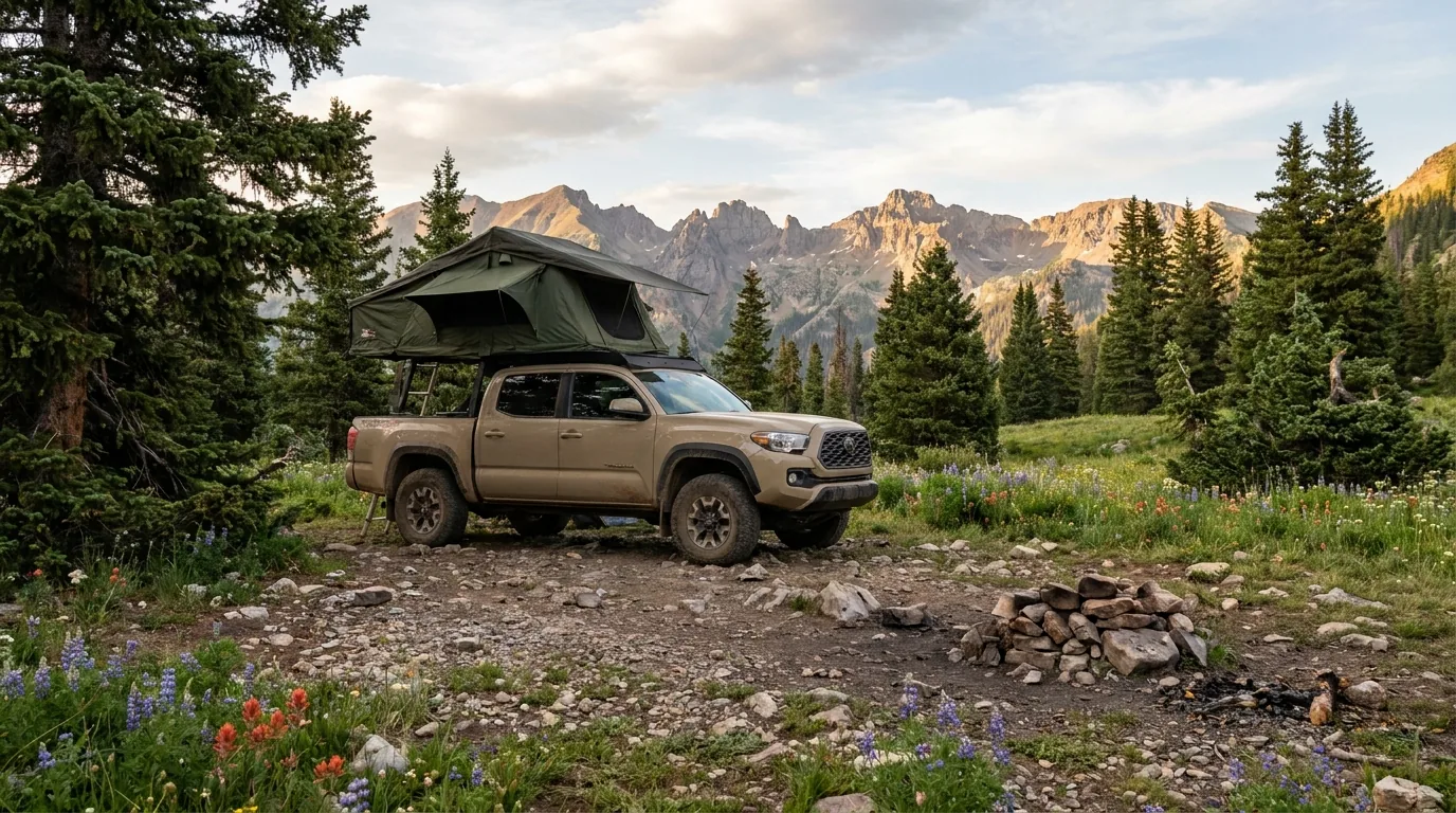
An overland rig with a rooftop tent parked on an existing pull-off in a high conifer clearing below alpine peaks, no fire ring in use, a camp stove on the tailgate, golden evening light, San Juan Mountains Colorado, ultrarealistic photograph representative of the region
A 2026 camp in the San Juans. Note what isn't in this picture: a fire. Stage 2 restrictions ban campfires forest-wide on the San Juan NF through 31 December 2026, including inside developed campground rings. Propane stove legal, campfire not, anywhere.

Confirmed — real numbers, from sources we could actually read

CampgroundLocation · elevationSites2026 feeSeasonReserve?
Haviland Lake
San Juan NF
18 mi N of Durango, off US 550 · 8,705 ft 45, loops A–D $32–$98/night; drops to ~$13/night mid-September for winter Open May–Sept; limited/no services in Oct; closed Nov–April Mix — reservable on recreation.gov 6 months ahead, plus FCFS sites claimed in person
Ridgway State Park
Colorado Parks & Wildlife
Hwy 550 N of Ridgway · 6,978 ft ~283 + 3 yurts across Dakota Terraces (76), Elk Ridge (98), Pa-Co-Chu-Puk $28/night plus a required CPW vehicle pass — 2026 price unconfirmed Year-round, with plowed reservable sites Reservations at cpwshop.com or 1-800-244-5613, 6 months ahead
Molas Lake Park
Town of Silverton
US 550 just S of Silverton · ~10,000 ft 50+ — tents, small RVs, pop-ups, a few large-RV sites $50/night + 10.4% tax; $75/night over July 4th and Labor Day 1 June – 30 September Reservations via molaslake.com / webreserv

Haviland Lake — the Durango-side basecamp

Electric hookups on many sites, drinking water, accessible vault toilets, an accessible fishing dock, single and double-family sites. At 8,705 ft it's a sensible acclimatisation stop before you go higher. Its recreation.gov listing carries the Stage II fire prohibition alert — the ban applies here too, fire ring or not.

Ridgway SP — the full-service one

Showers, flush toilets, laundry, camp store, year-round dump station, full hookups available, glamping, group sites. This is the most reliable full-service campground infrastructure in the northern half of the loop, and at 6,978 ft it's also the best place to sleep low on night one. Note the $28 is camping only — Colorado State Parks also require a vehicle day or annual pass on top, and we could not confirm the 2026 price.

Molas Lake — the iconic one

Lakeside at 10,000 ft with a Grenadier Range view — the Silverton camp everybody photographs. Town-operated. Facilities are honest about what they are: one water pump, several vault toilets, pay showers. At that elevation, don't make it your first night if you flew in from sea level (§08).

🔴 Named but NOT verified — do the recreation.gov pass yourself before you rely on any of these These campgrounds exist and appeared in our research, but we could not confirm 2026 fees, seasons or site counts for any of them, so we are printing names and locations only. Do not assume a fee or a season for any name on this list. Pull each one individually from recreation.gov, which is fetchable and is the authoritative booking source:
  • Junction Creek — San Juan NF, near Durango, at the Colorado Trail terminus
  • Purgatory / Purgatory Flats area — US 550 north of Durango
  • South Mineral Creek — Silverton, up FR 585, the Ice Lakes access. Elevation and 2026 fee not obtained. Note this campground was closed after the 2020 Ice Fire (§05)
  • Anvil Dispersed Campground — South Mineral Creek corridor; reported 14-day stay limit
  • Amphitheater Campground — Uncompahgre NF above Ouray. Likely affected by the Gold Mountain Fire closure
  • Williams Creek, Mill Creek, Wupperman — Lake City / Hinsdale County. In the Elk Fire evacuation zone as of July 2026
  • Priest Lake Dispersed Camping Area — reported 7-day stay limit

Master booking portals: recreation.gov San Juan NF gateway (gateways/1054) · cpwshop.com for state parks. A complete, accurate campground table for San Juan NF, Uncompahgre NF and Gunnison NF was not achievable in this research pass, and we would rather tell you that than invent one.

Dispersed camping — and why this isn't free-camping-anywhere country

The San Juan NF rules, as reported

  • No permit required for dispersed camping on San Juan NF
  • Stay limit 16 days, after which you must move at least 5 road miles. But stay limits vary by area — Anvil (South Mineral) is reported at 14 days, Priest Lake at 7. Read the signs where you actually are
  • Camp at least 100 feet from any stream or water source
  • Drive on existing roads only — no creating new spurs
  • Use the free Motor Vehicle Use Map (MVUM) to determine where motorized use and camping outside developed campgrounds are legal. The MVUM is the legal document; a mapping app is not. Download it before you lose signal
  • STAGE 2 APPLIES TO DISPERSED CAMPING TOO. No campfires. Gas or liquid stoves only

All of the above is weakly sourced — fs.usda.gov 403. Confirm with San Juan NF (970) 884-2512 and the Ouray Ranger District (970) 240-5300.

The honest framing

The San Juans are not free-camping-anywhere country the way the Bighorn or Utah's BLM is. This is a heavily-visited, multi-jurisdiction landscape — San Juan NF, Uncompahgre NF, Gunnison NF, BLM, three counties — and private mining claims are scattered right through the alpine basins and are frequently not obvious on the ground.

You can absolutely camp well here for free. But the MVUM plus a land-ownership layer is not optional, and the corridors that look most inviting are often the ones with the most rules attached.

A specific gap we want to flag: corridor-specific rules, designated-site-only designations and 2026 restrictions were not confirmed in this research pass. Corridor rules in the San Juans change frequently and several high-traffic corridors have moved to designated-site-only in recent years. Research each one individually.

Private mining claims everywhereMVUM is the legal document
CorridorWhat we knowStatus
South Mineral Creek / FR 585
Silverton
The busiest dispersed corridor in the region; Anvil area, reported 14-day limit Confirm rules at source
US 550 / Million Dollar Highway pullouts Narrow, no-guardrail highway with very limited legal pullouts Do not present highway pullouts as camping. Likely restricted
Alpine Loop corridor BLM/USFS mix Currently inside or adjacent to the Gold Mountain Fire closure order
Last Dollar Road
Telluride–Ridgway
Named in our research, no confirmable detail Unverified
Lizard Head Pass area
Hwy 145
Worth noting this is the detour route when US 550 closes Unverified
Priest Lake Reported 7-day stay limit Unverified
07 / THE TOWNS & SERVICES

Durango is the only real city. Everything north gets smaller and thinner

The general rule for this region: do your big shop, laundry, propane and repairs in Durango, Montrose (north of Ridgway, off this loop but the region's other real supply town), or Gunnison (before Lake City). Everything else is a top-up. We have deliberately not named grocery stores, fuel stations or restaurants in Ouray, Durango or Telluride, because we could not verify that specific businesses are currently trading — and restaurant turnover in seasonal mountain towns is brutal.

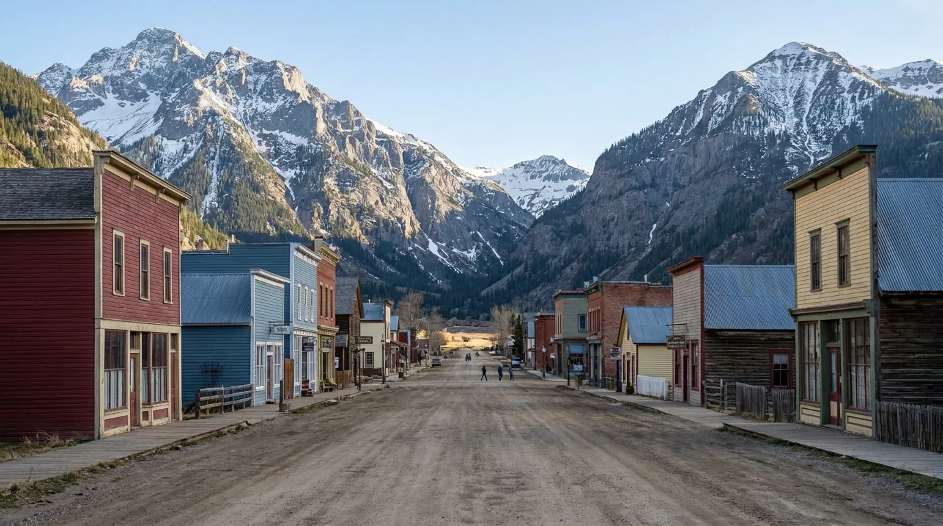
A small high-altitude mining town of low colourful storefronts on a wide dirt main street, ringed tightly by steep bare peaks, late afternoon light, Silverton Colorado, ultrarealistic photograph representative of the region
Silverton — ~700 people at 9,318 ft, with US 550 as its only road. Closures on Coal Bank, Molas or Red Mountain can cut the town off entirely, and CDOT has closed all three at once. Treat it as a top-up, not a resupply.
TownElevationWhat it actually isResupply verdict
Durango ~6,512 ft The only full-service city. Full grocery, full fuel, hardware, outdoor retail, a real airport (DRO), and the region's hospital The resupply town. Do everything here
Ridgway ~6,978 ft The quiet, practical, non-touristy one — and the junction for Telluride (CO 62 west) vs Ouray (US 550 south) Basic services + the state park's year-round dump station
Montrose ~25 mi north of Ridgway, off the loop. Full supermarkets, big-box, auto parts, hospital The real northern supply town
Ouray ~7,792 ft A box-canyon town of ~1,000, walkable end to end, ringed by cliffs. Strong 4x4 outfitter presence Limited. Fuel is limited and priced accordingly
Silverton ~9,318 ft ~701 year-round residents; ~760 in winter swelling to ~1,200 in summer. The highest and thinnest Top-up only, not a resupply
Lake City ~8,671 ft Tiny, seasonal, and proud of it. The Alpine Loop's eastern trailhead town Stock up in Gunnison before you drive in
Telluride ~8,750 ft The expensive one. Box-canyon mining town turned resort, connected to Mountain Village by a free gondola Worst town on the loop for RV/van services and parking

Town elevations above are commonly-cited figures, not pulled from an official gazetteer — the exception is Ridgway State Park's 6,978 ft, which is confirmed. Treat the rest as approximate.

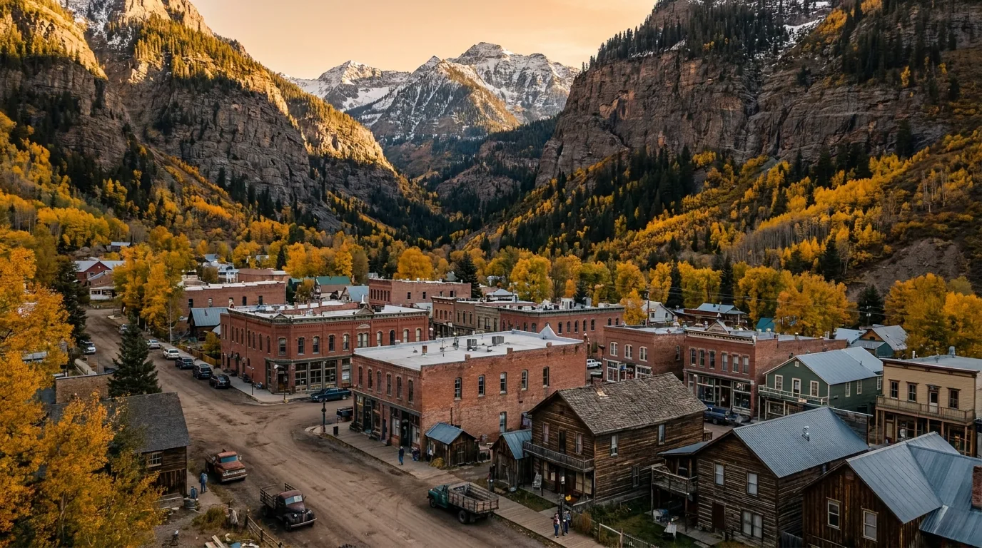
A small Victorian mountain town tucked tight into the floor of a box canyon with sheer cliff walls rising on three sides and waterfalls visible in the gorge above, warm evening light, Ouray Colorado, ultrarealistic photograph representative of the region

Ouray — "Switzerland of America"

The single best base for day-hiking without long drives. The Perimeter Trail, Cascade Falls, Box Canyon, Bear Creek and the Ice Park are all reachable on foot from town.

RV services are unusually good for its size. Ouray Riverside Resort has RV sites on the Uncompahgre with an onsite store, fuel, propane fills, and a private laundromat with 24/7 access (eight commercial extra-large washers and dryers). 4J + 1 + 1 RV Park has 70 full-hookup sites (30/50 amp) with showers, dump station, propane and LP bottle exchange, and laundry. Ouray KOA and Ridgway State Park both have year-round dump stations.

Mountain rescue: Ouray Mountain Rescue — call 911. No Ouray medical clinic was confirmed in our research — the regional hospital is Mercy in Durango (~70 mi south over two 10,000 ft passes) or Montrose Regional to the north. Confirm the nearest emergency facility before you need it.

Cell coverage: serviceable in town; the box canyon walls kill it fast on the surrounding trails.

Best walkable-trail baseGood RV services for its sizeGrocery/fuel names unconfirmed

Durango — the base camp

Hospital: Mercy Hospital (CommonSpirit) — 82-bed acute care, southwest Colorado's largest medical facility, with a 24-hour Emergency Department. Urgent care: Mercy Urgent Care, 375 E Park Ave; Durango Urgent Care also operates locally. Hours unconfirmed.

Durango has chain supermarkets, multiple 24-hr fuel stations, propane and laundromats. We could not confirm specific business names and addresses — pull the current list from durango.org and downtowndurango.org rather than trusting ours or anyone's.

4Corners Riversports rents camping gear as well as boats. Cell: good in town and along US 550 near town; degrades sharply above Coal Bank Pass and is absent in the Weminuche/Chicago Basin.

Silverton — genuinely remote

Grocery: Silverton Grocery Store, 717 Greene St, (970) 387-5652 — small but stocked for essentials, not a place to provision a two-week trip. Fuel: The WhistleStop Gas Station, 315 Greene St, (970) 387-3462 — assume limited hours and higher prices. Banking: Citizens State Bank, 1202 Greene St, (970) 387-5502. Silverton Hardware is cited as offering tools, propane refills, camping gear and basics (hours/address unconfirmed).

Laundry, showers and a medical clinic are not listed in the official services directory — confirm with the Town of Silverton or the Chamber. Practically: use the RV parks, or plan laundry for Durango/Montrose. No dump stations between Ouray and Silverton. Cell: workable in the townsite, gone within minutes of leaving it in any direction.

Lake City — the most isolated

From the town's own business directory: Country Store Grocery and Deli, 916 N Hwy 149, (970) 944-2387 (reported Mon–Sat 9–6, Sun 11–5). Lake City Auto & Sports Center, 809 Hwy 149, (970) 944-2311 — fuel and convenience. B's Mini-Mart, 231 Gunnison Ave, (970) 784-6227. Matterhorn Provisions, (970) 944-2210. Lake City Liquors, 144 S Gunnison Ave, (970) 944-2424.

The honest advice everyone local gives: stock up in Gunnison before you drive in. Laundry, showers, propane, dump and medical were not confirmed — check the full Lake City business directory and Hinsdale County. Reached by CO 149 over Slumgullion Pass (11,530 ft, grades up to 9%), described as the steepest maintained paved road in Colorado, subject to chain and traction laws. Cell: limited in town, none on the Alpine Loop.

🔴 Silverton's winter isolation is real, not a marketing line One road in and out (US 550), at 9,300 ft, with a tourism economy. CDOT has closed Coal Bank, Molas and Red Mountain passes simultaneously, cutting off both directions at once. If you are here in winter, carry more food, fuel and warmth than you think you need, and check COtrip before every movement. The same logic applies in a smaller way to Lake City, which has one paved way in and out once the Alpine Loop closes for the season.
On restaurants — why we're not naming any Restaurant turnover in seasonal mountain towns is brutal, and a place that was a local institution two summers ago may be gone. We could not verify that specific restaurants are currently trading, so we're not printing a list you'd drive to. What we can tell you is structural and reliable: Durango has the deepest and most year-round dining scene on the loop — the only town here where you can reliably eat well on a Tuesday in April. Silverton's scene is overwhelmingly seasonal, keyed to the train and the summer surge, with many businesses closing entirely in the off-season. Lake City largely shutters after the season. Telluride runs the highest prices in the region; Ouray and Ridgway sit in the middle. The camper's move: cook in camp and treat one town meal as the reward. In Silverton and Lake City in particular, do not drive in at 8 p.m. assuming you'll find dinner. Check current listings at durango.org, silvertoncolorado.com, visitouray.com, businessdirectory.lakecity.com and telluride.com.
Steam rising off a natural stone-lined hot spring soaking pool at dusk with mountain silhouettes and the first stars behind, warm lantern light on the water, southwest Colorado, ultrarealistic photograph representative of the region

The soaks

Ouray Hot Springs Pool — municipal pool at the north end of Ouray, sulfur-free, multiple sections at different temperatures, with a summer waterslide. Hours and prices are unconfirmed: secondary sources report roughly 11 a.m.–8 p.m. daily year-round with extended peak-summer hours, an adult day pass around $30, youth (3–17) around $18, under 3 free, a senior discount and a waterslide wristband around $5 — confirm at visitouray.com/ourayhotspringspool. The pool takes an annual maintenance closure; check before driving in.

Orvis Hot Springs, Ridgway — 1585 County Road 3. Clothing-optional, ten soaking areas, lithium-rich water 98–112°F, natural pebble-bottom pond. Day use 9 a.m.–10 p.m.; 24 hours for overnight guests. Day admission reported at $26–$30 depending on source, private tubs around $60/hour per couple — confirm at orvishotsprings.com. Be aware of the clothing-optional policy before you arrive with kids — this is the single most common surprise complaint.

The third soak is the Ouray Ice Park, and it isn't a soak at all — see §11.

All prices unconfirmedOrvis is clothing-optional
08 / ALTITUDE — PEOPLE AND ENGINES

You can sleep at 6,500 ft and stand at 13,000 before lunch

Durango ~6,512 ft · Ridgway 6,978 ft (confirmed) · Ouray ~7,792 ft · Lake City ~8,671 ft · Silverton ~9,318 ft · Haviland Lake 8,705 ft (confirmed) · Molas Lake ~10,000 ft (confirmed) · Alpine Loop passes to 12,800 ft (BLM). That is a faster altitude gain than most people ever experience, and it acts on two things at once: your body, and your engine. Most guides cover the first and skip the second.

Acclimatisation — the conservative version

Sleep low for the first night or two. Durango or Ridgway, both under 7,000 ft, before camping at Molas Lake at 10,000 ft or spending a day on the passes. Haviland Lake at 8,705 ft is a sensible middle step.

Hydrate hard, go easy on alcohol the first 48 hours, and know the symptoms of acute mountain sickness — headache, nausea, breathlessness at rest, poor sleep.

The only reliable treatment is to descend — and in this region descending is easy, which means there is no excuse for pushing through it. You are never more than an hour from significantly thicker air. Use that.

Night 1–2 under 7,000 ftDescend — don't push through

What altitude does to your engine

A naturally-aspirated engine loses roughly 3% of its power for every 1,000 feet of elevation, because it is drawing progressively thinner air. That's the standard rule of thumb, not an official figure — treat it as directional.

Applied here: at 12,800 ft on Engineer Pass, a naturally-aspirated engine is making roughly 60–65% of its sea-level power. What that actually feels like:

  • Crawling up steep pitches in low range is noticeably gutless. Pick your line and carry momentum you can control; don't count on being able to power out of a bad spot
  • You will be a gear lower than instinct says, and the engine will run hot doing it. Watch temperatures on long climbs
  • Turbocharged and supercharged engines lose far less — a forced-induction diesel or turbo-petrol is genuinely a better tool up here, worth knowing if you're choosing a rig
~60–65% power at 12,800 ftForced induction loses far less
🔴 Braking, not power, is the real hazard Everybody worries about getting up. The accident this region is famous for is a brake fade event on a shelf road with no guardrail. Long steep descents off the passes cook brakes — use low range and engine braking; do not ride the pedal. If you smell your brakes, you have already left it too late; stop somewhere safe and let them cool properly rather than nursing it down. This is the single most important paragraph in this section, and it applies just as much to the paved Million Dollar Highway descent into Ouray as it does to the dirt.
09 / SEASONS & THE MONSOON

Be off the ridgeline by noon — the section that keeps people alive

The San Juans have a genuine monsoon. The North American monsoon pushes moisture into these mountains in July and August, producing near-daily afternoon thunderstorms. Everything else in this section is scheduling advice. This part is safety.

⚠️ The monsoon, operationally
  • Be off summits and ridgelines by noon. On Handies, Engineer and the Chicago Basin 14ers, summit by 11 a.m. and be descending
  • Above treeline you are the lightning rod. Ice Lakes upper basin, American Basin, Blue Lakes Pass, Engineer's ridge and every 14er here are fully exposed with no shelter and no fast exit
  • Start times of 5–6 a.m. in July and August are normal, not paranoid
  • Burn scars and steep drainages flash flood — a specific factor at Ice Lakes (§05), and a live concern anywhere near this year's fire scars
  • Storms build fast and from behind ridges you can't see over. A blue sky at 11 a.m. tells you nothing about 1 p.m.
  • The same logic governs the passes: be off the high 4x4 roads by early afternoon, because there is no quick bail-out from the middle of the Alpine Loop

Winter (Dec–Mar)

All 4x4 pass roads are closed. The Alpine Loop, Imogene, Black Bear, Ophir, Cinnamon, Engineer — gone under snow. US 550 over Red Mountain stays nominally open but closes without much notice for weather and avalanche control (§04). Silverton can be cut off when Coal Bank, Molas and Red Mountain all close.

What's actually open: the Ouray Ice Park (§11), Silverton Mountain, the Purgatory and Telluride ski resorts, the hot springs, and the train's winter Cascade Canyon service (confirm at durangotrain.com). Traction and chain laws apply on CO 149 over Slumgullion and on US 550.

Mud season (Apr–mid-May, late Oct–Nov)

The honest truth: this is the worst time to come. Snow is rotten, high trails are impassable slop, the passes are still closed, ski areas have shut, and a large share of seasonal businesses in Silverton, Lake City and Telluride simply close — including gondola and hot-springs maintenance windows.

The upside: it's cheap and empty. If your objectives are Durango-area low-elevation trails — the Animas River Trail, the lower Colorado Trail — a mud-season trip genuinely works. Just don't come expecting the alpine.

Pass opening (late May – early July)

The 4x4 passes open on snowmelt, not a calendar. Typical opening ranges from late May to early July depending on snowpack, and the higher Alpine Loop passes (Cinnamon, Engineer) are usually the last to go. No single official page publishes a guaranteed date — confirm each season with BLM Gunnison, the Ouray, San Juan and Hinsdale county road departments, and COtrip.

Rafting peaks here — late May and June bring the biggest water on the Animas from snowmelt. High trails are still snowbound: Blue Lakes is typically snow-free only late June onward; Ice Lakes and Chicago Basin hold snow into July. Creek fords are at their most dangerous — the Vallecito approach to Chicago Basin specifically.

Wildflower peak (mid-July – early Aug)

Yankee Boy Basin: July is the wildflower month, with columbine everywhere mid-to-late July. American Basin peaks the same window. Ice Lakes and Engineer Mountain (July–August for flowers) round out the four classics.

This is also peak crowding. Chicago Basin's heavy period is 4 July through Labor Day; Blue Lakes parking fills early July through Labor Day. And it's the heart of the monsoon — the best flowers and the worst afternoon weather arrive together. Start at 5 a.m. and you get both.

Crowd strategy — seven things that actually work

  1. Go early, everywhere — not for photography, for parking. Blue Lakes, American Basin and Ice Lakes trailhead lots fill by 7 a.m. in July. There is no overflow.
  2. Midweek is worth more than any other single choice. The visitor surge here is heavily weekend- and train-driven.
  3. Shoulder the peak windows. Late June (flowers starting, most passes open, before the July flood) and the first week of October (colour hanging on, crowds thinning) are the two best-value weeks of the year.
  4. Base in Ridgway, not Ouray or Telluride. Cheaper, real services including the state park's dump station and showers, and central to both the Ouray and Telluride sides.
  5. Let the 14ers absorb the crowd. For every 50 people on the Handies trail there is nobody on the mid-elevation trails around Lake City or the Durango high-country network.
  6. The Chicago Basin trick: the train drop-off concentrates arrivals. Hiking in via Purgatory Flats costs you 14.5 miles but you'll have the approach almost to yourself.
  7. Book jeep rentals and guided anything weeks ahead for July–August. Fleet sizes here are small.
10 / GUIDED OPERATORS

If the road is above your comfort, hire the seat

This region has one of the highest operator densities in the American West, and taking a guided tour up Yankee Boy or the Alpine Loop instead of driving it yourself is not a lesser experience — it's the correct call for a lot of people, and the guides know the roads better than any of us. Below are named, sourced businesses with verified prices where we have them. Seasons and prices change annually — verify each.

OperatorBaseWhatVerified detail
Switzerland of America
Jeep Rentals & Tours
226 7th Ave, Ouray
970-325-4484 / 866-990-JEEP
Jeep Wrangler rentals; guided full-day and half-day scenic 4x4 tours $300/day (4-door soft-top or hardtop, auto, seats 5). Guiding since 1962. Half-day tours depart 8:00 a.m. July–Aug, 8:30 a.m. May/June/Sept/Oct; full-day 8 a.m.–5 p.m.
San Juan Backcountry 1119 Greene St, Silverton
970-387-5565 / 800-494-8687
also Durango & Meeker
Jeep/Gladiator/Bronco rentals, ATV & UTV rentals, guided 4x4 and historical tours, snowmobile rentals Full-day guided tours $150 adult / $90 child (4–11), lunch included. Summer core; winter snowmobile
Mild to Wild Rafting 50 Animas View Dr, Durango
970-247-4789
Lower Animas Class II–III; Upper Piedra Class III–IV; Upper Animas Class IV–V Founded in Durango 1994. Lower Animas $79–$189/adult (¼/½/¾ day, ages 4+/35 lb min). +9% river/land access fee. March–September, peak June–August. 24-hr cancellation
San Juan Mountain Guides 710 Main St, Ouray
970-325-4925
also Durango
Ice climbing, rock, alpine, backcountry ski, wilderness backpacking Founded 1986. Ouray Ice Park concessionaire and premier provider of Ouray ice courses; also guides Ouray backcountry, Silverton's Eureka Canyon and Telluride-area ice. Ice Dec–Mar; rock/alpine summer
Mountain Trip Telluride / Ouray Telluride and Ouray via ferrata, 14er/13er ascents, rock, alpine trekking, ice, backcountry skiing and avalanche courses AMGA-accredited. Year-round, activity-dependent. Prices not confirmed — quote from the operator
Silverton Mountain Silverton — 970-387-5706 One lift, expert-only, mostly guided. Heliskiing 2026-27 guided season 31 Dec 2026 – 14 Mar 2027, Thu–Sun (+ Mon Feb 15). Unguided 17 Mar – 11 Apr 2027. Heliskiing from 31 Dec. Avalanche safety gear required (rentals available); liability releases mandatory. Lifts 9 a.m., arrive 8:15. Pricing not published on the schedule page
Duranglers Flies & Supplies Durango — since 1983 Guided fly fishing: San Juan (NM quality waters), Animas, Rio Grande, Piedra, Dolores, and high creeks Orvis Endorsed Outfitter. Drift-boat float or wade. Days start 7:30–8 a.m. at the shop. San Juan year-round; high mountain creeks fish from ~1 July into early November
Others named in our sourcing Silverton / Durango Cliffhanger Jeep Rental (Silverton); Durango Rivertrippers (jeep + rafting combos); 4 Corners Whitewater (Durango); 4Corners Riversports (retail, paddle school, camping gear rentals); Silverton Mountain Guides; Durango Fly Fishing Named only — prices and seasons not confirmed
🔴 Read the rental restrictions before you book — they tell you something Switzerland of America requires renters to be 25+ with proof of comprehensive/collision/liability coverage (25/50/25 minimums), takes a 50% deposit with a non-refundable $25 booking fee, and — the important one — prohibits taking its rentals on Black Bear Pass or Poughkeepsie Gulch, with a minimum $1,000 penalty. San Juan Backcountry likewise requires 25+ with full-coverage insurance and 48-hour cancellation. When the outfitters who rent purpose-built 4x4s for a living contractually carve out two specific roads, that is the most honest difficulty rating in this entire guide.

The Upper Animas is a serious river

Class IV–V, continuous, cold, at altitude, described by its outfitter as one of North America's most continuous and demanding alpine river runs. It runs 1 and 2-day trips with a mandatory swim test, ages 14–16+. The swim test is not a formality. If this is your first whitewater, the Lower Animas ($79–$189) is the run you want.

Via ferrata — not a hike

Both the Telluride and Ouray via ferratas are cable-and-rung routes on vertical rock; Ouray's runs through the Ice Park gorge. These are not hikes. Verify current access rules, permit or registration requirements, and mandatory-guide status for each at visitouray.com/via-ferrata and mountaintrip.com — we could not confirm them.

Ouray maintains a "Guides – Lessons – Rentals" directory with dedicated pages for hiking, horseback, rock, ice, via ferrata and jeeping. Pull individual business names from visitouray.com/guides directly rather than trusting any aggregator — including this one.

11 / THE OURAY ICE PARK

Free, world-famous, and the reason Ouray has a winter

We're including this in a summer-weighted guide because it is the single most distinctive thing in the region and because a lot of readers plan their next trip from the last one. A man-made ice climbing park in the Uncompahgre Gorge on the edge of town, where water is piped and sprayed over the canyon walls at night to farm the ice. It is widely regarded as the birthplace of the modern ice park and draws climbers internationally.

The deal — and it is a deal

Free and public — no admission fee. It is funded by memberships and donations, and the park states "100% of your membership fees goes towards our operational costs."

If you climb there, join. That is the deal. A free world-class venue exists because the people using it pay for it voluntarily, which is a fragile arrangement worth protecting.

Season: the park aims to open by mid-December and close end of March, conditions depending. The 2025-26 season ran through Sunday 1 March 2026, closing 2 March. 2026-27 dates unconfirmed — check ourayicepark.com.

Hours, as posted for the most recent season: weekdays 8:00 a.m. public / 7:30 a.m. members; weekends 7:30 a.m. public / 7:00 a.m. members. A warming hut at the upper bridge is open seven days a week while the park is open.

Free · membership-supportedMid-Dec to end of March

The honest caution

It is free and public but it is not beginner-safe unsupervised. You need ice tools, crampons, screws, ropes, and — critically — the knowledge to build top-rope anchors on a crowded canyon rim. If you have never ice climbed, hire a guide (§10) or take a park clinic. San Juan Mountain Guides is the park concessionaire.

The other consequence of free access: the ice gets hacked out and hollow by mid-afternoon on busy days. Climb early. Sections also close for thaw and for rigging — check the park's conditions page rather than driving on hope.

The Ouray Ice Festival is the park's flagship fundraiser, held in January. 2027 dates unconfirmed.

Not beginner-safe unsupervisedClimb early — ice degrades
12 / GETTING THERE

Four approaches, and one number we won't repeat

The in-region airport is Durango–La Plata County (DRO), ~14 miles southeast of Durango, with commercial service and rental cars — but limited and expensive. For most people the question is which drive to do, and the answer depends on whether you want the Million Dollar Highway as your approach or your finale.

FromDistance / timeRouteVerdict
Albuquerque ~215 miles · ~3.5–4.5 hours North to Durango Usually the cheapest fly-and-drive
Grand Junction (GJT) ~174 miles · ~3 hours US 50 SE to Montrose, then US 550 south Arguably the best approach for an overlanding trip — it drops you into Ridgway and Ouray from the north, straight onto the Million Dollar Highway
Denver ~6.5–7 hours · roughly 330–350 miles US 285 / US 160 The direct one. See the note below on the mileage figure
Denver — the scenic option Adds about an hour I-70 west to Grand Junction, US 50 to Montrose, US 550 south through Ouray and Silverton Delivers the entire Million Dollar Highway as the approach. Worth the hour
A small thing that tells you a lot about travel writing One source in our research states the Denver–Durango drive as "approximately 640 miles with a drive time of 6.5 hours." That is arithmetically impossible — 640 miles cannot be driven in 6.5 hours, on any road, legally. We are not repeating that figure, and we're mentioning it because it's a useful illustration: a number can be published, sourced, and repeated across a dozen sites while still being obviously wrong to anyone who does the division. The real figure is roughly 330–350 miles in 6.5–7 hours — and even that we'd rather you confirm than take from us.
The wider circuit The regional loop — Durango, Silverton, Ouray, Ridgway, Telluride, Dolores, Cortez — is the San Juan Skyway, a 233-mile National Scenic and Historic Byway. If the dirt is closed, or your vehicle isn't the right tool, or the fire situation has taken the high country off the table entirely, the Skyway is not a consolation prize. It is one of the great drives in North America and it is paved the whole way. Four highways make up the practical network: US 550 (Durango–Silverton–Ouray–Ridgway), CO 145 (Cortez–Rico–Lizard Head–Telluride turnoff–Placerville–Ridgway), CO 62 (Ridgway–Dallas Divide–Placerville), and CO 149 (Gunnison–Lake City–Slumgullion Pass–Creede).
13 / TRIP-READY

The departure check

Run every one of these within 72 hours of leaving, and again the morning you drive. In a normal year this list is prudent. In 2026 it is the difference between a trip and a wasted 700-mile drive to a closed gate — or worse. Tap each item as it's done.

0 / 10 confirmed — the mountain decides, not the calendar.
The pre-departure box, verbatim — put this in your phone
  1. COtrip — maps.cotrip.org — US 550, Red Mountain, Molas, Hwy 145, Hwy 149
  2. InciWeb — Gold Mountain Fire and any successor incident. Fire info (970) 355-3286
  3. GMUG forest alerts & closure orders — Ouray Ranger District (970) 240-5300
  4. San Juan NF alerts — fire restriction stage. Forest info (970) 884-2512
  5. San Miguel County road conditions(970) 327-4261 — Black Bear, Ophir, Imogene
  6. Ouray County high-country roads — Yankee Boy, Corkscrew, Poughkeepsie, Engineer
  7. BLM Gunnison Field Office (970) 642-4940 — the Alpine Loop
  8. Download the MVUM for every forest you'll enter. Paper backup.
14 / QUICK ANSWERS

Asked at every San Juan trailhead

Can I have a campfire in 2026?
No — not anywhere on the San Juan National Forest. Stage 2 restrictions took effect forest-wide at 12:01 a.m. on 1 July 2026 and run through 31 December unless rescinded. No fire, campfire, charcoal barbecue or grill of any kind, including inside developed campground fire rings. The only exception is a device fuelled solely by liquid or gas that can be turned on and off, used in an area cleared of flammable material within three feet. Propane stove legal; campfire not. Penalties run to a $5,000 individual fine and up to six months imprisonment, and patrols are actively ticketing. Reconstructed from search summaries because fs.usda.gov returned 403 — confirm with San Juan NF at (970) 884-2512, and check the GMUG side separately.
Is the Alpine Loop open?
Our sources are in direct conflict and we are not going to resolve it for you. A GMUG closure order in effect 2 July – 1 October 2026 closes NFS lands and roads within a described area east of Hwy 550, west of Lake City, north of Matterhorn Peak — and read literally, that box contains the Engineer Pass corridor, which is half the loop. Meanwhile alpineloop.info says the loop is "currently open" — but that page was last updated 1 July, one day before the order. We could not read the order's Exhibit A map (403). Assume closed until an agency tells you otherwise. Confirm with the Ouray Ranger District (970) 240-5300 and BLM Gunnison (970) 642-4940.
Can I drive Black Bear Pass?
It is reported closed for 2026 and we could not confirm that status — the San Miguel County page failed to load during research. Do not treat it as drivable. The Bridal Veil switchback section descending into Telluride is one way, downhill only, with no legal or physical way to reverse once you commit at the top. The switchbacks are tighter than the wheelbase of many full-size vehicles and require multi-point turns on an unguarded shelf above a drop of more than a thousand feet. People have died there. It closed after repeated incidents involving unsuitable vehicles. San Miguel County Road and Bridge, (970) 327-4261, decides when that changes. Note that Ouray's main Jeep rental operation bans its vehicles from it entirely, minimum $1,000 penalty.
What vehicle do I actually need?
BLM's only official statement is "a rugged 4x4 road" requiring high-clearance, with passes to 12,800 ft. BLM publishes no per-segment ratings, no per-segment vehicle requirements and no opening dates — anything more specific is community consensus, not agency guidance. The honest consensus picture: Silverton to Animas Forks, and Lake City to Lake San Cristobal, go in a stock SUV on a dry day. Everything over either pass is a genuine high-clearance 4x4 route. If your vehicle is a rental crossover, an AWD sedan, or anything on street tires with no low range, your trip ends at Animas Forks on one side and Lake San Cristobal on the other — and both of those drives are excellent.
What are the new Blue Lakes rules?
Per SJMA, beginning 31 May 2026: human waste must be packed out, bear-resistant food storage required, group size limit 6, 2-night maximum, camping restricted to designated sites at the lower lake only, and no campfires in the drainage. A permit system launches in 2027. Separately, E. coli has been detected in the water — filter or chemically treat everything, no exceptions. This is the single biggest planning change in the region and most existing guides have not caught up. Confirm current-year specifics with the Uncompahgre/GMUG National Forest.
How do I get to Chicago Basin?
There is no road. Buy a backpacker ticket on the Durango & Silverton Narrow Gauge Railroad, ride ~30 miles / 2.5 hours up the Animas Gorge, and step off at Needleton — a flag stop with no town, no road and no services. Days later you flag the train down to get out. Backpacker tickets cannot be booked online — you must call the railroad, and only Durango-origin trains do Needleton drop-offs. From the train it's a half-mile walk to the trailhead, then 5.5–6.5 miles and 3,000 ft to the basin at 11,200 ft; the train arrives around 11 a.m. Road alternates: Purgatory Flats, 14.5 miles, or Vallecito, 17.5 miles with fords that are dangerous in runoff and monsoon. Expect company — the train can drop 40+ people a day and the goats will come to camp hunting urine salt.
Is the Ice Lakes trail open?
We could not resolve this and we are not going to guess. The Ice Fire burned in October 2020 right at the trailhead — just under 600 acres, with a helicopter rescue of 28 stranded hikers. The lakes did not burn; the trail to them did, in part heavily. The Forest Service closed the trail, South Mineral Campground and Clear Lake Road and extended that closure to 15 September 2021 for fire-weakened trees, erosion and flash-flood risk. Durango Trails' page still carries a closure and fire-hazard notice. Whether that's a live 2026 closure or a stale page, we couldn't determine — the San Juan NF page returned 403. Check the SJNF Ice Lake Trail page and the forest alerts before you drive out. Don't rely on a blog, and don't rely on us.
How much power does my engine lose up there?
As a rule of thumb, not an official figure: a naturally-aspirated engine loses roughly 3% of its power per 1,000 feet. At 12,800 ft on Engineer Pass that's roughly 60–65% of sea-level power. In practice: crawling up steep pitches in low range is noticeably gutless, you'll be a gear lower than instinct says, and the engine will run hot doing it. Turbo and supercharged engines lose far less. But braking, not power, is the real hazard — long steep descents cook brakes, so use low range and engine braking and don't ride the pedal. A brake fade event on an unguarded shelf road is the accident this region is famous for.
Where should I base myself?
Ridgway, for most people. Cheaper than Ouray or Telluride, it has real services including the state park's year-round dump station and showers, and it's central to both the Ouray and Telluride sides. Durango is the choice if you want a real city, the deepest dining, the hospital and the train. Ouray is the best base for walking to trailheads — the Perimeter Trail, Cascade Falls, Box Canyon, Bear Creek and the Ice Park are all on foot from town. Silverton is for people who want to be in the middle of the high country and don't mind thin services. Telluride is the worst town on this loop for RV and van services and parking — base elsewhere and day-trip in.
When is the best time to go?
Two windows beat the rest: late June — flowers starting, most passes open, before the July flood — and the first week of October, with colour hanging on and crowds thinning. Mid-July is peak wildflowers (Yankee Boy, American Basin, Ice Lakes, Engineer Mountain) but also peak crowding and the heart of the monsoon. Late September into early October is the legendary aspen window, a few weeks later than the rest of Colorado. April to mid-May and late October into November are mud season — the worst time to come, with rotten snow, closed passes and a large share of seasonal businesses shut. Whenever you come in summer: start at 5–6 a.m. and be off the ridgelines by noon.
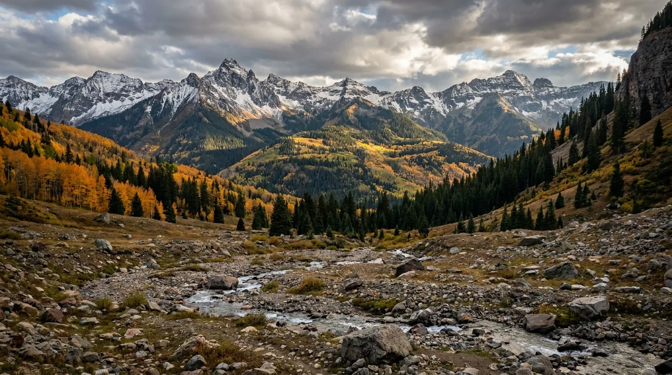
15 / WHAT WE COULD NOT CONFIRM

The honest gaps, all in one place

This section is longer than usual, and that's the point. This issue was researched during two active wildfires and a federal closure order, with every fs.usda.gov page returning HTTP 403. A guide written under those conditions either admits what it doesn't know or invents it. Here is everything we could not stand behind — and in a landscape where wrong 4x4 information kills people, the null is the product.

Why this section exists, and why this issue isn't for sale Anyone can write a guide that sounds certain. The hard part is knowing which of your numbers are real — and this time, a lot of them weren't. Every Forest Service page returned 403. Two fires are burning. A closure order and a trusted community site flatly contradict each other about whether half the Alpine Loop is legal to drive. We could have papered over all of that and shipped something confident. Instead we're publishing it as a reference with the gaps showing, and we are not selling it until the region settles and every one of these can be closed properly. "We could not confirm Black Bear's status — call San Miguel County at (970) 327-4261" is a usable instruction. A confident wrong answer about a one-way shelf road above a thousand-foot drop is not.
🔥

This issue is not for sale — on purpose

Every other Trekkr field guide ships with a print-ready PDF for the glovebox. This one doesn't, yet. The San Juans are on fire as we publish: two active wildfires, Level 3 evacuations across three counties, no campfires legal anywhere on the San Juan National Forest, and a federal closure order that appears to contain half the Alpine Loop while a trusted community source insists the loop is open. A paid PDF is a document you carry into the backcountry and trust when the signal dies. We are not selling one about a region where the answer to "is this road legal to drive" changes weekly and we could not read a single Forest Service page.

So this page is free, permanently, and it stays up as a live reference. When the fires are out, the closure order has lapsed, Black Bear's status is confirmed by phone, and the campground table has been rebuilt properly — then it becomes a field guide you can buy and rely on.

Conditions dated 19–20 July 2026 The Alpine Loop, honestly rated The passes — including the one we won't help you drive Blue Lakes' new rules Chicago Basin by flag stop Three confirmed campgrounds Everything we could not confirm
PDF coming when the region settles
Free to read · No PDF while conditions are this volatile · Built by people who actually camp there
Trail Journal No. 034

Go farther. Camp lighter.
Leave it better.

Every Trekkr Trail Journal is built like this one: custom logistics, honest trail beta, the camping and access detail, and the local knowledge that turns a good trip into the one your crew talks about for years — including, always, a plain list of what we could not confirm. Sometimes that list is long enough that we hold the guide back rather than sell it. New destinations drop all season long, from the BC corridors to the Oregon Cascades to the Colorado San Juans.

Unlock the Trail Journal Library
↗ Read another issue — No. 030, Alberta's Badlands & the Red Deer River
$4.95 per guide · Instant access · Built by people who actually camp there