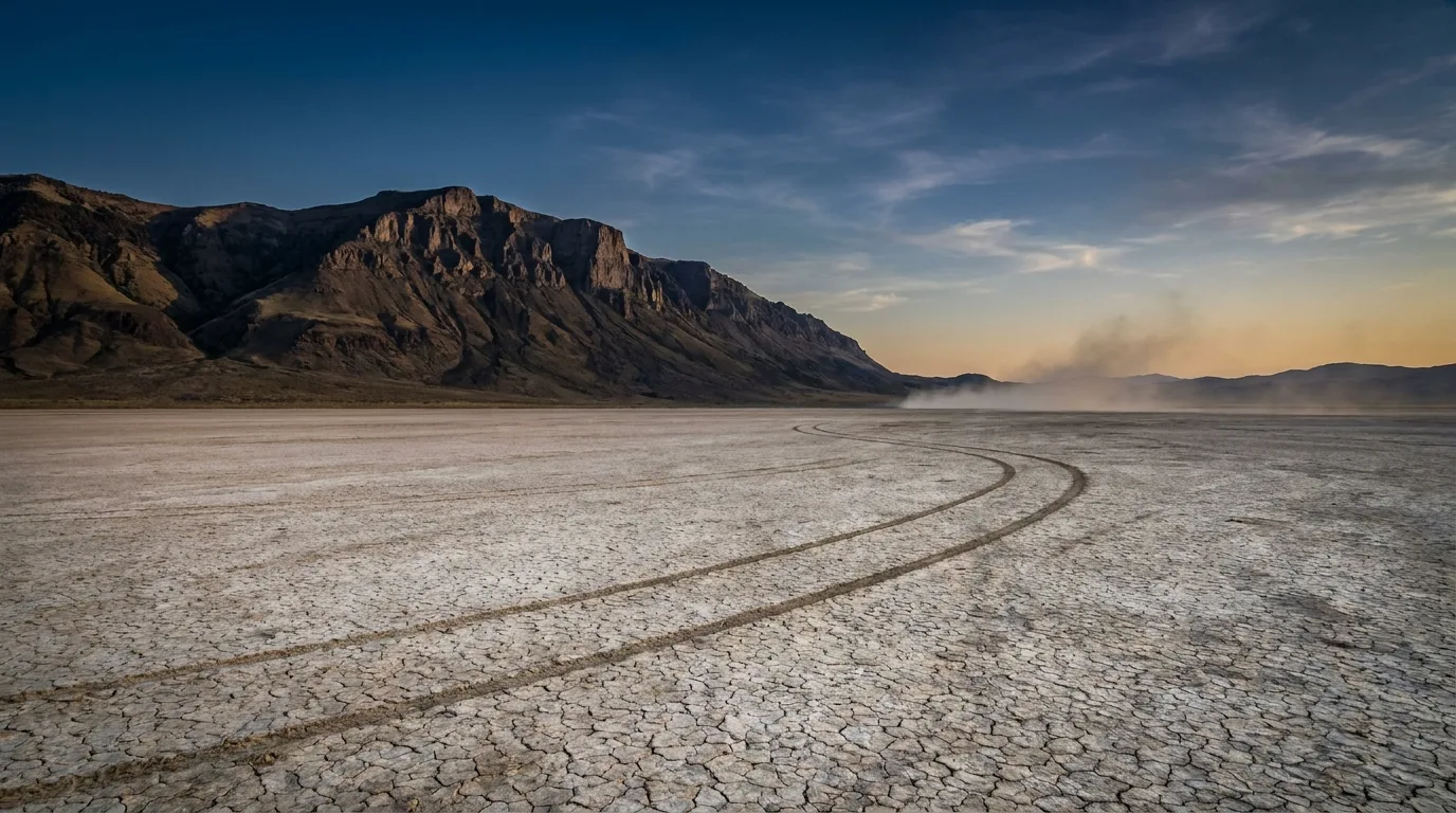
A fault-block mountain escarpment dropping a vertical mile onto a vast cracked white playa at dawn, Steens Mountain above the Alvord Desert, illustrative render in the series style
Trekkr Trail Journal · No. 022 · Oregon High Desert

Oregon High DesertSteens & the Alvord — The Complete Field Guide

This is one of the emptiest corners of the Lower 48 — a county bigger than several states, roughly one person per square mile, almost no cell service, and long gaps between fuel. A fault-block mountain rises to 9,738 ft and then drops a vertical mile straight onto a cracked white playa. The emptiness is the whole point, and it rewards a self-contained rig and honest planning. This issue is about running it the way it actually is — remote, dry, high and seasonal — not the way a casual road-trip list makes it look.

Oregon · USA Steens Mountain Alvord Desert Malheur NWR Frenchglen / Fields
9,738 ftSteens summit — Oregon's second-highest
52 miThe Steens Loop — highest road in Oregon
Jul–OctRealistic window for the gated high country
~1Person per square mile in Harney County
Conditions verified 19 July 2026 · A seasonally gated mountain over a wet-when-you-least-expect-it playa · This block goes stale — the links don't

The road up is snow-gated, the playa is a trap when wet, and there is no signal to bail you out

The rest of this journal is evergreen; this box is not. Everything below is dated to the day we checked it, and the most perishable items here — the Steens Loop gates, the playa surface, the fuel hours — change faster than any printed guide. Out here a wrong assumption is expensive, because help is hours away and there is usually no bar of signal to call for it. Trust the live sources, not our date stamp.

  • The Steens Loop (Backcountry Byway) is gated and snowbound most of the yearThe 52-mile gravel loop climbs from about 4,200 ft at Frenchglen to roughly 9,500 ft — the highest road in Oregon — and it typically opens in stages from early July and closes with the first heavy snow, usually by November. Four seasonal gates are opened and closed based on snow, so do not assume the high country — Kiger Gorge, East Rim, Wildhorse Lake, the summit — is reachable outside roughly July–October. A landslide has previously closed sections near Big Indian Gorge, so the loop is not guaranteed even in season. Check TripCheck and the BLM Burns District before you commit (§02).
  • NEVER drive onto a wet or damp Alvord playaThe Alvord surface looks solid but turns to bottomless mud after rain — vehicles sink to the frame, and recovery is a multi-hundred-dollar tow from Burns or Hines, if you can even reach help. There is no shade, no water and no services on the playa, and summer surface temperatures are extreme. Spring and fall carry the highest wet-playa risk. Watch the sky — a storm miles away can sheet water across the flat. If there's any doubt about the surface, stay off it (§03).
  • No cell service, and long gaps between fuel — top off obsessivelyAssume no cell coverage across most of the region. Fuel is limited to a handful of points with limited hours: Burns/Hines (the only full-service town), The Narrows RV Park on Hwy 205, and Fields Station on the dry side — often the only fuel for the entire Alvord loop, roughly 8am–6pm Mon–Sat (call 541-495-2275). Fuel at Frenchglen is unreliable — do not count on it. Carry reserves, and carry all drinking water for the dry side (§07).
  • Borax Lake and Mickey Hot Springs are LOOK-ONLY — do not enterBorax Lake is a protected biological reserve and home to the endangered Borax Lake chub: no soaking, wading or entering the water, and the ground near the shore is a fragile thin crust. Mickey Hot Springs is an active geothermal field where the water is scalding — near boiling — with a thin, unstable crust; people and pets have been badly burned. Both are viewing sites, not soaks. The developed soak here is the private, staffed Alvord Hot Springs (§03, §05).
  • The Steens high country holds winter, and afternoon storms are realThe summit is near 9,738 ft and the rim viewpoints are exposed, windy and cold even in summer. Snow can linger into the season and thunderstorms build fast in the afternoon — a serious hazard on an unfenced rim or the strenuous Wildhorse Lake climb. Start early, watch the sky, and turn around when it turns (§02, §08).
Live sources · TripCheck — Steens Loop status · BLM Burns District (gates, closures, fire) · BLM — Alvord Desert (playa) · USFWS — Malheur NWR
Fuel & hours · Fields Station 541-495-2275 · Alvord Hot Springs 541-589-2282 · in an emergency, 911 (and know that a response is hours out). This box was true at press and will not stay true — the sources above are the truth on the day you travel.
01 / THE EMPTY QUARTER

Two landscapes bolted together, and almost nobody in them

Harney County is bigger than several U.S. states and holds roughly one person per square mile. There is no cell service across most of it, no ATMs south of Burns, and long gaps between fuel. That emptiness isn't a warning to work around — it's the reason to come. But it punishes people who treat this like a national park with services, so the honest framing for the whole trip is: remote, dry, high and seasonal. Come fully self-contained.

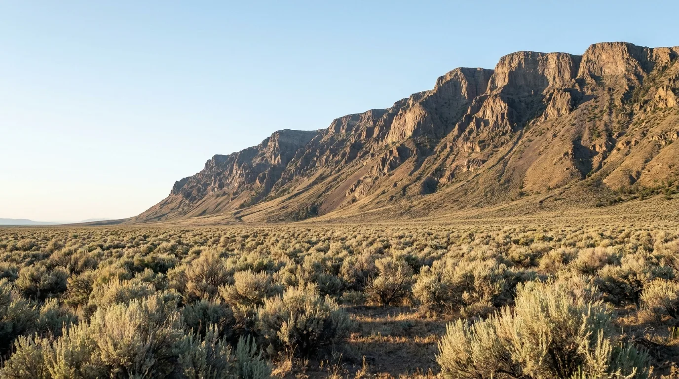
A long sagebrush plain running to the base of a steep fault-block ridge under a huge empty sky, the western face of Steens Mountain, illustrative render in the series style
The scale of it. A fault-block ridge 30 miles long, rising off the sage to nearly 9,738 ft — and on the far side, a vertical-mile drop onto a dry lakebed. Two very different worlds, a single tank of fuel apart.

The wet side — Steens Mountain

A 30-mile fault-block ridge you climb via the Steens Mountain Backcountry Byway — a 52-mile graded-gravel loop and the highest road in Oregon. Glacier-carved gorges, alpine lakes, wild horses and rim viewpoints that stare a vertical mile down onto the desert. The catch: the loop is gated and snowbound most of the year, typically reachable only July–October (§02).

The dry side — the Alvord Basin

In Steens' rain shadow: the Alvord Desert playa, Alvord Hot Springs, Mann Lake and a scatter of remote geothermal spots. This is the classic Oregon overlanding and dispersed-camping heartland — dark skies, no services, and a playa you can drive on only when it's bone dry (§03).

Self-contained rigNo cell · long fuel gaps
Who this trip is for If you want a place where the map goes quiet and you're genuinely on your own resources, this is it. If you want reliable fuel, a bar of signal and a ranger to sort your plans, this isn't — and pretending otherwise is how people end up frame-deep in a wet playa or out of gas on the Fields–Denio Road. The rest of this guide is the honest logistics that let the emptiness be the reward instead of the problem.
02 / STEENS MOUNTAIN

The highest road in Oregon — when the gates are open

The Steens Loop is the signature drive: 52 miles of graded gravel climbing from Frenchglen's sagebrush to roughly 9,500 ft, threading past a glacial gorge, a mile-high rim, an alpine lake and the summit spur. Everything in this section lives and dies by one fact — the road is gated and snowbound most of the year, so treat the season as the first thing you plan around, not the last.

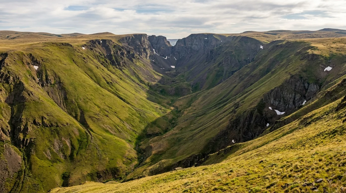
A textbook U-shaped glacial gorge with a notch cut in the far headwall seen from a rim pullout, Kiger Gorge Overlook, illustrative render in the series style
Kiger Gorge. A textbook glacier-carved U-gorge with the notch known as "the Gunsight" cut into the far wall, roughly 22 miles up the north end of the loop. Wild horses are sometimes visible on the floor below.
🔴 The loop is gated and snowbound most of the year — plan the season first The Steens Mountain Backcountry Byway climbs from about 4,200 ft at Frenchglen to roughly 9,500 ft and is gated and snowbound for most of the calendar. It typically opens in stages from early July and closes with the first heavy snow, usually by November, with four seasonal gates worked according to snow. Do not assume Kiger Gorge, East Rim, Wildhorse Lake or the summit are reachable outside roughly July–October. A landslide has previously closed sections near Big Indian Gorge, so the loop is not guaranteed even in season. Always check TripCheck (ODOT) and the BLM Burns District before you drive it.
StopWhere on the loopAccessWhy go
Steens Loop BywayFrenchglen ↔ high country ⚠️ Seasonal / gated 52-mile graded-gravel loop, the highest road in Oregon (~4,200 → ~9,500 ft); access to everything below. Washboarded and steep — high-clearance strongly recommended
Kiger Gorge Overlook~22 mi up the north loop ⚠️ Seasonal A textbook U-shaped glacial gorge plunging 2,000+ ft, with "the Gunsight" notch; wild horses sometimes below. Short walk from the pullout
East Rim OverlookNear the summit spur ⚠️ Seasonal A dizzying mile-high drop straight onto the white Alvord playa — many rate the desert view here as better than the summit itself. Exposed and unfenced in places
Steens Summit (9,738 ft)Short walk from the summit spur ⚠️ Seasonal Oregon's second-highest summit; a short rocky walk from the parking spur. On a clear day the Alvord lies a vertical mile below and, reportedly, into three states
Wildhorse LakeOverlook near the summit ⚠️ Seasonal · strenuous A steep, hidden alpine lake — a genuine calf-burner down and back (see below)

Coordinates for every stop above were verified via Wikipedia/USGS and OpenStreetMap. The Steens summit elevation (9,738 ft) is from USGS/Wikipedia. The season is staged and weather-driven — "typically July–October" is a planning window, not a guarantee; verify live on TripCheck and with the BLM Burns District.

The one real hike up topWildhorse Lake

From the Wildhorse Lake overlook near the summit, the trail drops roughly 1,000+ feet in about 1.2 miles to the lake — about 2.4 miles round trip. Short but genuinely strenuous, with loose footing; the climb back out is the hard part at nearly 9,000 ft. No shade, thin air, and afternoon storms are a real risk on an exposed slope this high.

⚠️ Distance and gain are planning estimates from published trail descriptions, not a surveyed figure. Seasonal with the loop road. Start early and turn around if the sky builds.
~2.4 mi round trip · ~1,000+ ft descent then climb · strenuous · near 9,000 ft
The vehicle honestly The loop is graded gravel — passable to a careful passenger car in dry conditions — but it is rough, washboarded, steep and high, so high-clearance is strongly recommended and it becomes genuine 4WD/high-clearance country after rain or early and late in the season. There is no fuel, water or services on the mountain. Camp on the loop at Fish Lake (7,400 ft) or Jackman Park (7,800 ft), or base low at Page Springs near Frenchglen (§06).
03 / THE ALVORD

A cracked white playa, and the one rule that matters

On the dry side of Steens is one of Oregon's largest dry lakebeds — a 7-by-11-mile alkali flat framed by the mountain's escarpment, and one of the iconic overlanding and stargazing destinations in the West. You can camp on it, drive on it and watch the Milky Way rise over it. You can also sink a truck to the frame in an afternoon. The difference is entirely whether the surface is dry.

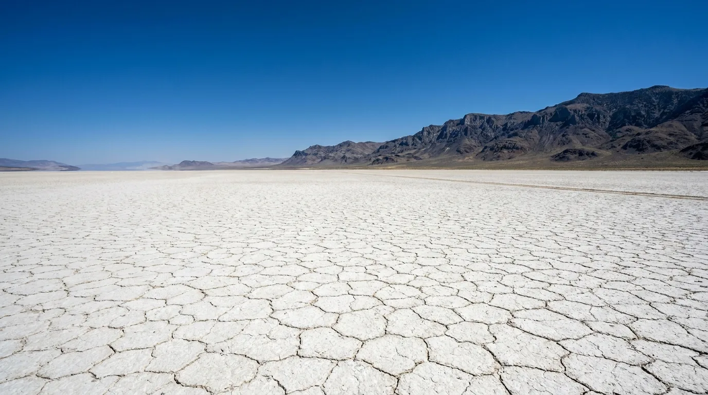
A vast cracked white alkali flat stretching to a distant mountain wall under a deep blue sky, the Alvord Desert playa, illustrative render in the series style
The Alvord playa. A 7-by-11-mile alkali flat in Steens Mountain's rain shadow. Primitive dispersed camping is allowed on and around it — with no shade, no water and no services of any kind.
🔴 Drive onto the playa ONLY when it is bone dry The surface looks solid but turns to bottomless mud after rain, and vehicles sink to the frame. Recovery is a multi-hundred-dollar tow from Burns or Hines — assuming you can reach help at all, because there is no signal out here. There is no shade, no water and no services on the flat, summer surface temperatures are extreme, and spring and fall carry the highest wet-playa risk. Watch the sky: a storm miles away can sheet water across the surface. When in doubt, stay off. Access is a signed road off the Fields–Denio Road near Alvord Hot Springs.

Camping on the flat — free and primitive

Primitive dispersed camping is allowed on and around the playa (BLM), free, with no facilities of any kind. This is a Leave-No-Trace, fully-self-contained proposition: carry all your water, pack out everything, and pick your spot with the wet-playa rule front of mind. The reward is exceptional dark skies and a horizon-to-horizon quiet that's hard to find anywhere else in the state.

Free · dispersedDry surface onlyDark-sky stargazing

Alvord Hot Springs — the developed soak

On the west edge of the playa, two concrete-and-metal geothermal pools fed by natural hot water, staffed by on-site caretakers with a small store and restrooms. It's private land: day-use is about $20/adult (kids 12 and under free), overnight camping (~$30–40) includes 24-hour pool access, and a separate ~$10 fee accesses the desert floor here. Open year-round. Reservations recommended — call 541-589-2282.

⚠️ Fees are approximate from the operator's site — confirm current pricing when you call.

Nearby, and worth the detour — Mann Lake Along the Fields–Denio Road, Mann Lake is a shallow ~200-acre alkaline lake stocked with Lahontan cutthroat trout — a renowned still-water fishery — with free BLM dispersed camping, vault toilets and a boat ramp but NO drinking water. Exceptional dark skies, about 90 miles southeast of Burns. Carry all water and fuel; the access road can turn to mud when wet. It doubles as one of this guide's campgrounds (§06).
04 / MALHEUR & FRENCHGLEN

The other reason people come — 340+ birds and a hamlet hotel

Long before the overlanders, the birders found this place. Malheur National Wildlife Refuge is a Pacific Flyway magnet, and the tiny hamlet of Frenchglen at the foot of Steens is the gateway to both the refuge and the mountain. If your trip lands in spring, the birding is arguably the headline — and if it lands any time, Frenchglen is where you get a hot meal before the map goes quiet.

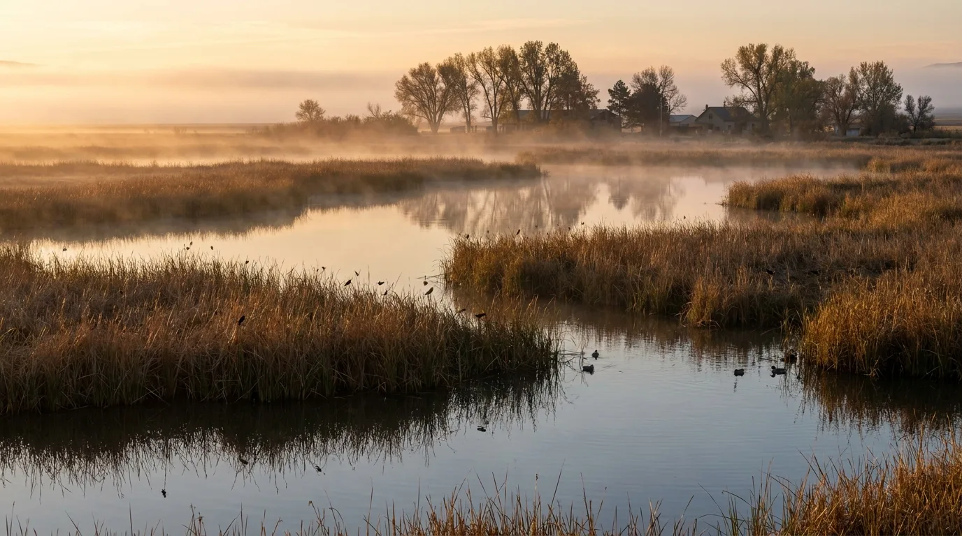
Reed-lined wetland channels and tree-lined refuge headquarters grounds full of migrating songbirds at dawn, Malheur National Wildlife Refuge, illustrative render in the series style
Malheur NWR. A Pacific Flyway magnet with 340+ recorded species. The tree-lined headquarters grounds, an oasis in the sage, concentrate migrant songbirds — binoculars, water and patience are the whole kit.

The birding — peak is spring

Refuge headquarters sits about 32 miles south of Burns via Hwy 205 and Sodhouse Lane, with a visitor center, Nature Store and the George Benson Memorial Museum (open daily roughly 8am–4pm when staffed). Malheur records 340+ bird species and is one of the premier birding sites in the West; peak is spring migration, April–May, with a strong fall push.

Historic Sod House Ranch — Peter French's northern headquarters, with old cottonwoods that pull in songbirds — is a prime stop, but public access is seasonal and restricted to protect nesting and wintering wildlife (historically roughly mid-August into fall). Confirm current dates with the refuge before you go.

340+ speciesPeak Apr–MaySod House Ranch seasonal

Frenchglen — the gateway hamlet

Population in the low double digits: the historic 1917 Frenchglen Hotel (an Oregon State Heritage Site) does breakfast daily, lunch most days, and a reservation-only family-style dinner at 6:30pm, plus rustic rooms and the adjacent Drover's Inn — seasonal, roughly March 15–October 31 (call 541-493-2825). There's a mercantile/store, and the north trailhead of the Steens Loop.

🔴 Fuel here is limited and unreliable — fill up in Burns. No cell service; carry cash. For guided help, the Malheur Field Station runs week-long birding trips (refuge plus the full Steens loop) and offers simple dorm/RV lodging.

A base for birders If birding is the point, the cluster near the refuge is where to sleep: The Narrows RV Park on Hwy 205 (~26 mi south of Burns) has full hookups, fuel, a store and a café; Steens Mountain Wilderness Resort near Frenchglen has full-hookup RV, tent and cabins overlooking the P Ranch and Blitzen River; and Page Springs (BLM, §06) is the low-cost, year-round option three miles from Frenchglen. Reservations recommended for the private parks.
05 / THE BASIN LOOP

Diamond Craters, the Round Barn & two look-only wonders

North and east of Frenchglen, the lower basin holds a compact set of oddities that don't need the loop road to be open: a volcanic field made for self-guided wandering, an 1880s stone barn out of the cattle-baron era, and two geothermal features that are as dangerous as they are photogenic. Together they make a strong shoulder-season day when the high country is still snowed shut.

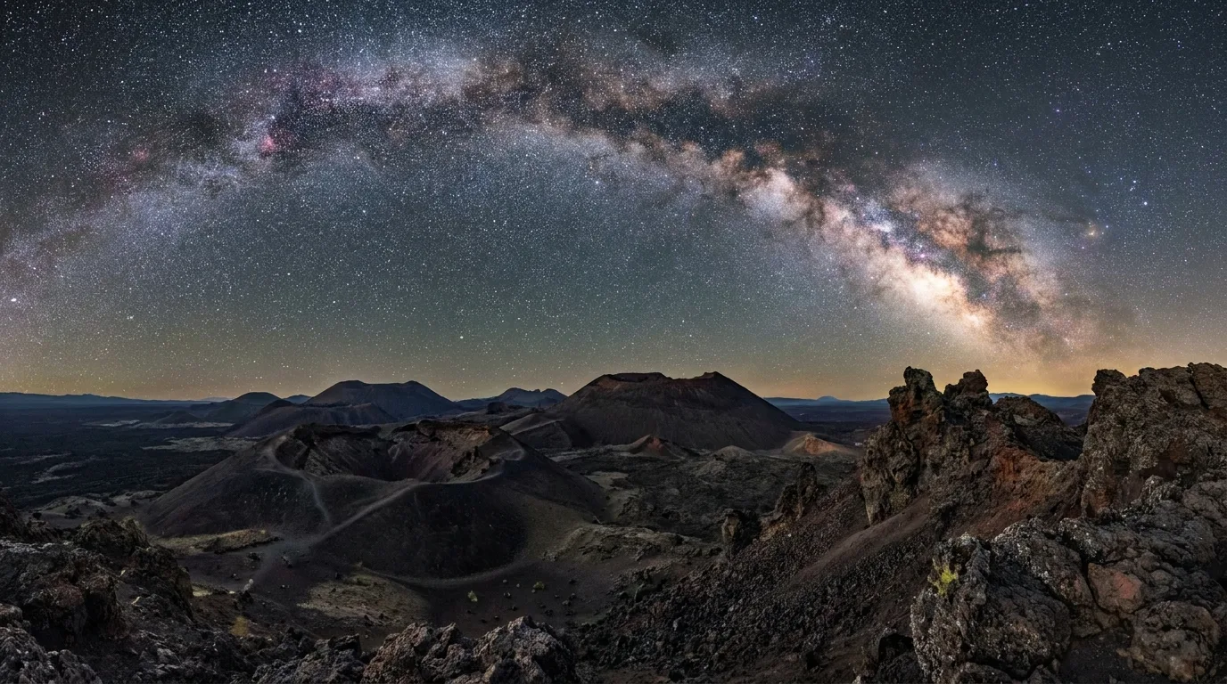
A field of low basalt craters, cinder cones and lava features under a huge star-filled desert sky, Diamond Craters Outstanding Natural Area, illustrative render in the series style
Diamond Craters. Roughly 17,000 acres of craters, cinder and spatter cones, lava tubes and a water-filled maar — self-guided, dark-sky, and reached on dirt roads that turn to slick "gumbo" when wet.

Diamond Craters ONA

A monogenetic volcanic field ~40 miles southeast of Burns — craters, cinder and spatter cones, lava tubes, a graben and a water-filled maar, all in a compact self-guided area (BLM brochure). A designated dark-sky area with superb stargazing.

⚠️ Dirt access off Lava Bed Road becomes slick "gumbo" when wet — high-clearance advised. No facilities, water or shade.

Pete French Round Barn

A State Heritage Site: a large circular stone-and-juniper corral barn built in the early 1880s on cattle baron Peter French's empire, used to work horses through hard winters. Free, self-guided day-use with interpretive signs and a small visitor center/store nearby; on the National Register since 1971.

Free day-useYear-round

Hotel Diamond

In the tiny dark-sky community of Diamond, the 1898 Hotel Diamond is the oldest lodging at the base of Steens — eight rooms, breakfast included, and a reservation-only family-style dinner at 6:30pm. Well placed for the Kiger Mustang viewing area, Diamond Craters and the Round Barn. Seasonal — call ahead (541-493-1898).

🔴 Borax Lake & Mickey Hot Springs — LOOK, do NOT enter or soak Two of the basin's most striking features are also two of its most dangerous. Borax Lake, near the south end of the Alvord Basin, is a ~10-acre naturally heated, borate-rich lake perched on its own mineral shelf — a protected biological reserve and home to the endangered Borax Lake chub. No soaking, wading or entering the water, and stay on established routes: the ground near the shore is a fragile thin crust. Mickey Hot Springs, on the east side of the basin, is a miniature but active geothermal field — steaming vents, a mud pot, a small geyser — where the water is scalding, near boiling, and the crust is thin and unstable. People and pets have been badly burned. It is a viewing site, not a soaking spring. Both are reached on rough dirt (high-clearance advised); the developed, safe soak in this region is the private Alvord Hot Springs (§03).
06 / CAMPING

From a $16 BLM base to a free playa night

The camping here splits cleanly: cheap first-come BLM campgrounds on and around Steens, free dispersed sites on the dry side, and a couple of private parks with hookups near the refuge. Most of the good ones don't take reservations, several close with the loop-road snow, and the dry-side sites have no water at all. Here's the whole set, with what's confirmed and what still needs a call.

An overland rig and rooftop tent parked on open high-desert ground beneath the Steens escarpment at dusk with a brilliant emerging starfield, dispersed camping in the Alvord Basin, illustrative render in the series style
The region's beds. Cheap BLM campgrounds on the wet side, free dispersed nights on the dry side, and dark skies almost everywhere — but bring your own water once you leave Page Springs or South Steens.
CampgroundTypeSitesFeeSeasonNotes
Page SpringsBLM36$16Year-round (host May–Oct) Base of Steens, 3 mi from Frenchglen on the Donner und Blitzen River. First-come; water + vault toilets. Best low-elevation base
South SteensBLM~36 ⚠️$16 (+$5 veh)~Early June – mid-Oct Family plus 15 equestrian sites with tie posts and corrals, ~18 mi up the south loop. Water; first-come. Seasonal
Fish LakeBLM23$16Seasonal (~Jul–Oct) 7,400 ft on the loop road beside Fish Lake; water, vault toilets, first-come. Closed when the loop is snow-gated
Jackman ParkBLM6$16Seasonal (~Jul–Oct) Small high camp at 7,800 ft, ~2 mi past Fish Lake; first-come. Seasonal snow closure
Mann LakeBLM dispersed~10FreeYear-round (road may be muddy) Free dispersed on a cutthroat-trout lake; vault toilets, boat ramp, NO drinking water. Dark skies — carry all water
Alvord Desert dispersedBLM dispersedPrimitiveFreeYear-round (dry playa only) Primitive camping on and around the playa; no facilities, water or shade. Drive onto the flat only when bone dry
Alvord Hot SpringsPrivate~11~$30–40 ⚠️Year-round Edge of the playa; fee includes 24-hr soak. Some electric, no water hookups; small store. Call 541-589-2282
The Narrows RV ParkPrivate41VerifyYear-round Hwy 205, ~26 mi S of Burns near Malheur. Full 30/50-amp hookups, dump, fuel, store, café/saloon. Call 541-495-2006
Steens Mtn Wilderness ResortPrivateVerifyVerifyYear-round 16 acres above the P Ranch near Frenchglen. Full-hookup RV, tent, cabins, dump. Call 541-493-2415
Willow Creek (Whitehorse) HSBLM dispersedVerifyFreeYear-round (rough access) Remote free dispersed camp at a natural hot spring off Whitehorse Ranch Road, far SE of Fields. Long rough dirt — full self-sufficiency required

⚠️ BLM fees are $16 as of 2026 research and can change; site counts marked ⚠️ (South Steens) or listed as "verify" (Steens Resort, Willow Creek) were not fully confirmed to a primary page, and the private-park nightly fees were not published — reconfirm on the operator's site or by phone. Coordinates were verified via OpenStreetMap and BLM/Recreation.gov; Steens Mountain Wilderness Resort's exact site coordinate could not be resolved and is flagged in our data.

Practical read for a rig Page Springs is the reliable, year-round, low-elevation base — book nothing, arrive early, fill your water. If the loop road is open, Fish Lake and Jackman Park put you up high for the gorge-and-summit day. On the dry side it's free and waterless — Mann Lake, the playa, or the private soak at Alvord Hot Springs. For hookups, you're looking at The Narrows or Steens Mountain Wilderness Resort near the refuge. There is no in-between: this is $16-and-first-come or fully-self-contained country, with a couple of private exceptions.
07 / FUEL, WATER & RECOVERY

The logistics that keep this trip from going wrong

Everything hard about this region comes down to three scarcities: fuel, water and help. There are only a handful of pumps, they keep limited hours, potable water runs out the moment you cross to the dry side, and if you get stuck there is exactly one outfit set up to come get you. Sort all three before you leave pavement, not after.

A lone desert filling station and small store beside an empty two-lane road under a wide sky, Fields Station on the dry side of Steens, illustrative render in the series style
Fields Station. The lone fuel-and-food oasis on the dry side — gas, diesel, propane, a small store and a café famous for its milkshakes. Frequently the only fuel for the entire Alvord loop.
🔴 Top off obsessively — the gaps are long and the hours are short There are only a handful of fuel points and they keep limited hours. Plan to fill up at every opportunity and carry reserves. Fields Station is frequently the ONLY fuel for the entire Alvord/southern loop, running roughly 8am–6pm Mon–Sat, shorter Sunday (call ahead: 541-495-2275). Frenchglen fuel is unreliable — do not count on it. And assume no cell service to look up anything once you're off the main highways.
Fuel / service pointWhereWhat's thereContact
Burns / HinesThe regional hub The only full-service town: fuel, groceries, Les Schwab tire, towing, medical, RV dump. Fill up here
The Narrows RV ParkHwy 205, ~26 mi S of Burns Gas, diesel, propane, store, café/saloon; good staging point for Malheur 541-495-2006
FrenchglenBase of Steens Limited / unreliable fuel — the historic hotel does meals (seasonal). Don't rely on gas here 541-493-2825 (hotel)
Fields (Fields Station)The dry side The oasis: gas, diesel, propane, small store, café. Often the only fuel on the Alvord loop; hours matter 541-495-2275

Water — it runs out at the mountain's edge

Potable water is available at Page Springs and South Steens campgrounds and in the towns — but NOT reliably in the Alvord Basin. Mann Lake, the playa and the remote dispersed sites have no drinking water at all. Carry every litre you'll need for the dry side, plus a margin for the heat — there is no shade out there and summer surface temperatures on the playa are extreme.

Water: Page Springs · South Steens · townsDry side: carry it all

Recovery — one outfit, and it's a lifeline

Larkin Towing, based in Hines, is the recovery lifeline for overlanders on the Steens and Alvord back roads — off-road recovery, mobile tire service, fuel delivery and winching, and reportedly the only company in the Burns area that does off-road recovery and field tire changes. If you sink a wet playa or shred a sidewall on washboard gravel, this is who comes.

⚠️ We don't have a phone number confirmed in our data — look it up and save it before you go (larkintowing.com), because you won't have signal to search when you need it.

08 / SAFETY & SEASONS

The hazards are specific — and mostly about being alone

Nothing here should stop you; all of it should shape how you move. The dangers are a wet playa, scalding ground, fragile crust, a high unfenced rim, afternoon storms, extreme heat with no shade, and a remoteness that makes any rescue slow. The common thread is that there's usually no signal to call for help — so the discipline is self-reliance, not luck.

The wet playa & the geothermal traps

🔴 The Alvord playa when wet is the single most common way to lose a vehicle out here — it swallows rigs to the frame (§03). And the geothermal features are not soaks: Mickey Hot Springs is scalding with a thin, unstable crust, and Borax Lake is a fragile protected reserve — both have burned people and pets. Look, photograph, keep back. The one safe, developed soak is the private Alvord Hot Springs.

The high country — altitude, rim & storms

🔴 The summit is near 9,738 ft and the East Rim and Kiger overlooks are exposed and unfenced in places above a vertical-mile drop. Expect thinner air, stronger sun and cold even in summer, and fast-building afternoon thunderstorms — a serious hazard on an open rim or the strenuous Wildhorse Lake climb. Start early, pace the altitude, and turn around when the sky turns.

No signal, slow rescue

Across most of the region there is no cell service, and help is hours away when it comes at all. This is exactly the terrain a satellite messenger is built for — carry one, download offline maps, and leave a detailed trip plan and return time with someone who'll notice if you're overdue. Know that Larkin Towing (§07) is the recovery outfit, and save its details in advance.

Carry a satellite messengerLeave a trip plan

Heat, water & the season

Summer surface temperatures on the playa are extreme, with no shade or water — carry far more water than feels necessary (§07). And remember the season gates the whole mountain: the Steens Loop is typically open only July–October and can close early with snow or a landslide. Shoulder-season trips lean on the lower basin (Malheur, Diamond Craters, the Round Barn) and the year-round base at Page Springs.

09 / TRIP-READY

The departure check

Run it before you leave pavement. Tap each item as it's done — these are the ten things specific to the Oregon high desert that a general road-trip habit will skip, in country where a miss is expensive and there's no signal to fix it on the fly.

0 / 10 confirmed — self-contained is the whole game out here.
10 / QUICK ANSWERS

Asked before every trip out here

When is the Steens Mountain Loop Road open?
The Steens Mountain Backcountry Byway is gated and snowbound for most of the year. It climbs from roughly 4,200 ft at Frenchglen to about 9,500 ft — the highest road in Oregon — and typically opens in stages from early July and closes with the first heavy snow, usually by November. Four seasonal gates are worked based on snow, so the high country (Kiger Gorge, East Rim, Wildhorse Lake, the summit) is generally reachable only July–October. A landslide has previously closed sections near Big Indian Gorge, so it's not guaranteed even in season. Always check TripCheck (ODOT) and the BLM Burns District before you drive.
Can I drive onto the Alvord Desert playa?
Only when it is bone dry. The surface looks solid but turns to bottomless mud after rain, and vehicles sink to the frame — recovery is a multi-hundred-dollar tow from Burns or Hines, if you can even reach help. There's no shade, no water and no services on the playa, summer surface temperatures are extreme, and spring and fall carry the highest wet-playa risk. Watch the sky — a storm miles away can sheet water across the flat. If there's any doubt about the surface, stay off it.
Is there cell service and fuel out there?
Assume no cell service across most of the region — Harney County has roughly one person per square mile. Fuel is limited to a few points with short hours: Burns/Hines (the only full-service town), The Narrows RV Park on Hwy 205, and Fields Station on the dry side — frequently the only fuel for the entire Alvord loop (roughly 8am–6pm Mon–Sat; call 541-495-2275). Frenchglen fuel is unreliable — do not count on it. Top off wherever you can and carry reserves. Potable water is at Page Springs, South Steens and the towns, but not reliably in the Alvord Basin — carry all drinking water for the dry side.
Where should I camp?
Page Springs (BLM, 36 sites, $16, first-come, water, year-round) is the best low base, 3 mi from Frenchglen. South Steens ($16, water, ~June–Oct) is up the south loop; Fish Lake (7,400 ft) and Jackman Park (7,800 ft) sit on the loop and open and close with it. On the dry side, Mann Lake is free BLM dispersed with vault toilets and a boat ramp but no water, and there's free dispersed camping on the dry playa. Alvord Hot Springs (private, ~$30–40 incl. 24-hr soak) and, for hookups, The Narrows RV Park and Steens Mountain Wilderness Resort round it out. BLM fees are $16 as of 2026 research but can change — reconfirm.
Can I soak at Borax Lake or Mickey Hot Springs?
No — both are look-only. Borax Lake is a protected biological reserve and home to the endangered Borax Lake chub: no soaking, wading or entering, and the ground near the shore is a fragile thin crust. Mickey Hot Springs is an active geothermal field where the water is scalding — near boiling — with a thin, unstable crust; people and pets have been badly burned. Both are viewing sites, not soaks. The developed soak in this region is Alvord Hot Springs, a private, staffed operation on the edge of the playa (day-use about $20/adult; call 541-589-2282).
What's the birding like at Malheur?
Malheur is a Pacific Flyway magnet with 340+ recorded species — one of the premier birding sites in the West. Peak is spring migration (April–May), with a strong fall push. Refuge headquarters is about 32 miles south of Burns via Hwy 205 and Sodhouse Lane, with a visitor center, Nature Store and the George Benson Memorial Museum (open daily ~8am–4pm when staffed); the tree-lined HQ grounds concentrate migrant songbirds. Historic Sod House Ranch is a prime stop but has seasonal access restrictions — confirm dates with the refuge. The Malheur Field Station runs guided birding weeks and offers simple lodging.
What we could not confirm — the honest gaps Every guide has these; most don't print them. The Steens Loop season is staged and weather-driven — "typically July–October" is a planning window, not a promise; verify live on TripCheck and with the BLM Burns District, and know a landslide has closed it in season before. Wildhorse Lake's ~2.4-mile distance and ~1,000 ft drop are planning estimates from trail descriptions, not surveyed figures. Alvord Hot Springs fees (~$20 day-use, ~$30–40 camping, ~$10 desert access) are approximate from the operator's site — confirm by phone. BLM fees are $16 as of 2026 research and can change; some site counts (South Steens ~36, Mann Lake and Willow Creek) and the private-park nightly fees (The Narrows, Steens Mountain Wilderness Resort) were not confirmed to a primary page. Sod House Ranch's seasonal open dates were not fully verified — confirm with the refuge. Larkin Towing's phone number is not in our data — look it up and save it in advance. And there's no cell-carrier coverage detail, so we publish none: assume little-to-no service and plan around it. No coordinate, fee, distance or season on this page was invented — where we didn't know, we said "verify" or left it out.
🔒

The printable field guide

Everything above, condensed into a print-ready PDF built for the glovebox — for country where the cell dies, the fuel is hours apart, and a wet playa can eat your rig before lunch. The Steens Loop season and the gates, the wet-playa rule and the dark-sky camping, the mile-high rim and the strenuous Wildhorse descent, the birding at Malheur, the campgrounds from Page Springs to Mann Lake, the fuel-water-recovery plan, and the honest list of what nobody could confirm — on paper that works where the signal doesn't.

The Steens Loop, gated by season The Alvord playa & the wet-playa rule Malheur birding & Frenchglen Diamond Craters & the look-only springs Every campground Fuel, water & recovery The departure check
Unlock the PDF — $4.95
$4.95 per guide · Instant access · Built by people who actually camp there
Trail Journal No. 022

Go farther. Camp lighter.
Leave it better.

Every Trekkr Trail Journal is built like this one: custom logistics, honest trail beta, the camping and access detail, kit lists and the local knowledge that turns a good trip into the one your crew talks about for years — including, always, a plain list of what we could not confirm. New destinations drop all season long, from the BC corridors to the Oregon high desert.

Unlock the Trail Journal Library
↗ Read another issue — No. 019, Crater Lake & the Southern Oregon Cascades
$4.95 per guide · Instant access · Built by people who actually camp there