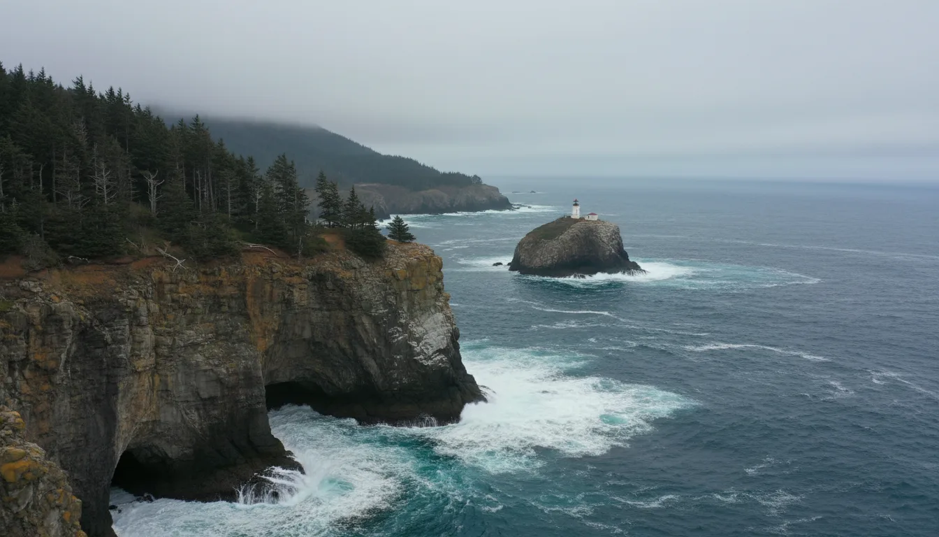
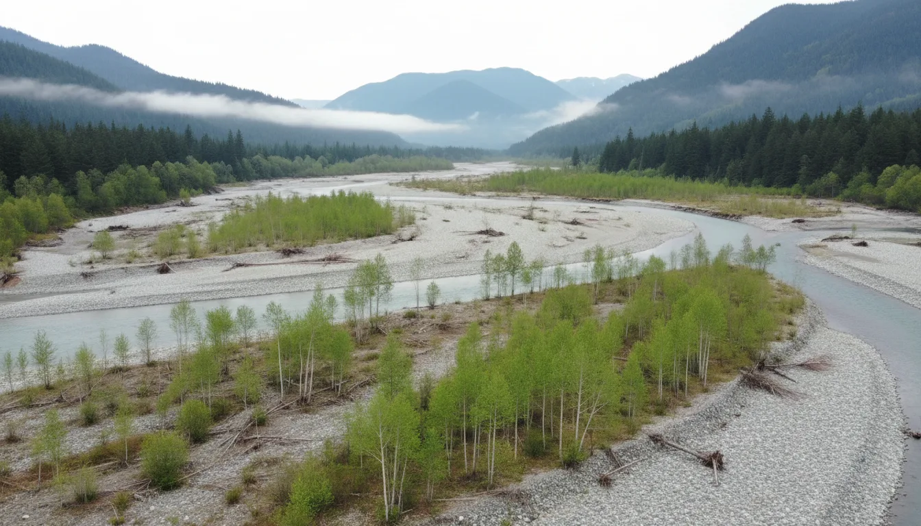
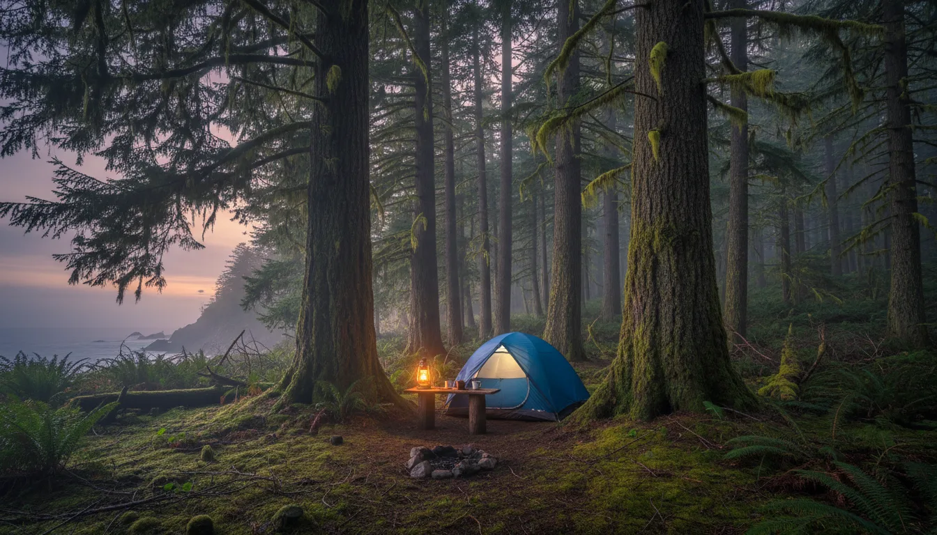
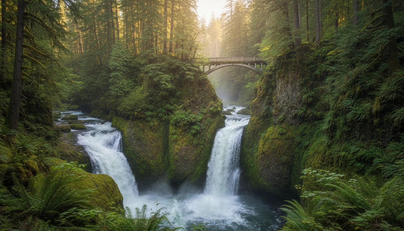
US-101 makes a loop around a mountain range that makes its own weather, through the rainiest forest in the contiguous United States, along a coast where the tide is a life-safety problem rather than a scenic one. This season it also runs past three closures that break the standard itinerary — including one that makes the single most-recommended hike on this coast unreachable by car, all season, while every competing guide still sends you there.
The rest of this journal is evergreen; this box is not. Everything below is dated to the day we checked it, and the most perishable items on this peninsula — road closures, construction windows, campground release dates, water availability — change faster than any printed guide. Each item gives you the 60-second check as well as the snapshot. Trust the procedure, not our date stamp.
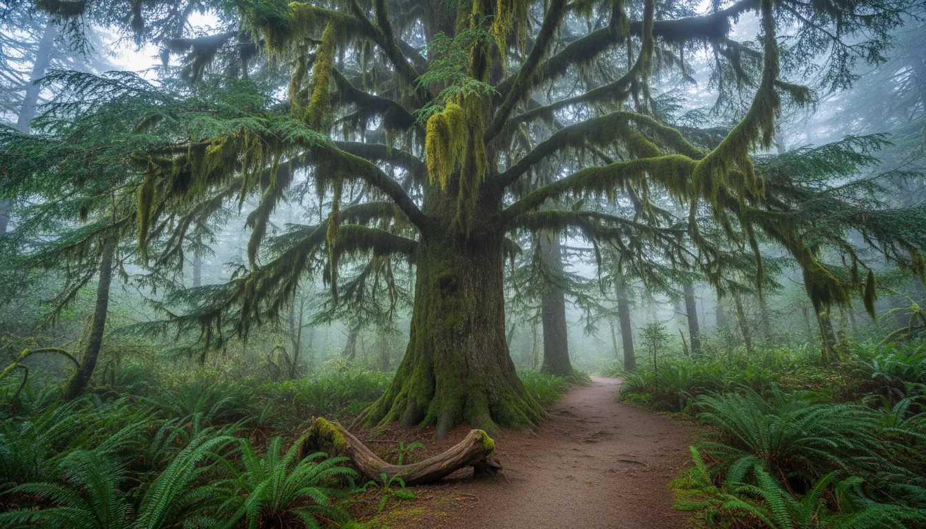
US-101 runs a ring around the Olympic Mountains, and the mountains do something to the air that shapes everything else about the trip. Wet Pacific weather hits the west side and dumps — NPS puts the rain forest valleys at "140 to 167 inches (12 to 14 feet) every year," with about 140 inches at the Hoh. By the time that same air reaches Sequim on the northeast corner it has very little left, and you are in a rain shadow. You can drive from one of the wettest places in the contiguous United States to a notably dry one inside a couple of hours. The loop is commonly given as roughly 330 miles and about six hours of driving with no stops — ⚠️ that figure is secondary-source only; we could find no NPS or WSDOT total — and three to five days is the usual recommendation for actually seeing it.
This is the first Washington issue and the first of the US Pacific Northwest arc, following No. 011 on the Sea-to-Sky. Where that corridor was about a single road with no alternative, this one is about something different and in some ways harder: a loop with a hollow middle. There is no road across the Olympics. Everything is a spur off the ring — and this season an unusual number of those spurs are shut. Three of them break itineraries that are still being published as current, which is why §00 sits at the top of the page rather than the bottom.
Everything here is a spur off a ring road, there is no road across the middle, and the spurs are where rigs get into trouble. This section also contains the one thing this guide refuses to give you: distances. There is a reason, and you should know it.
Schematic only — relative positions, not to scale, not for navigation. It exists to make one point: everything is a spur, and this season several of them are shut. Carry a real map.
Whatever their distances are doing, the agency's times are instructive. NPS budgets 1 hour 15 minutes for the 25 miles from Port Angeles up to Hurricane Ridge. That is roughly 20 mph. The Park Service is not being timid — it is building in grade, curves and the fact that you will stop. For a loaded rig or anything towing, treat every published time here as a minimum, not a target, and plan your day around three or four objectives rather than six.
We found no official grade percentage, switchback count or road width for any spur on this peninsula. NPS publishes surface and length only. If you see a grade figure for Hurricane Ridge Road or Deer Park Road quoted anywhere, it did not come from the agency.
Cape Flattery reads like a short detour on a map. It is not. From Port Angeles it is US-101 west about 5 miles, then SR 112 west for roughly 64 miles to Neah Bay — a long, slow, winding coastal road that is landslide- and flood-prone and gets closed. Budget far more time than the mileage suggests, and check its status before committing to a day out there.
⚠️ The Makah Tribe's own homepage was carrying a live traffic alert for SR 112 at milepost 5.5 — around-the-clock one-way alternating traffic at a reduced 25 mph "until further notice" — when we researched this issue. That will rot; verify against WSDOT rather than trusting our date stamp.
| Spur | Length | Surface | Status | Rig / trailer verdict |
|---|---|---|---|---|
| Hurricane Ridge Road | 17 mi | Paved | Open | Paved and maintained. Parking-lot construction Jul–Aug 2026; no water at the top |
| Deer Park Road | 9 mi | Gravel | Open | 🔴 NPS verbatim: "not suitable for RVs or trailers." Deer Park campground is tents only — "Steep and winding gravel access road, Deer Park is not RV accessible" |
| Obstruction Point Road | 7.8 mi | Gravel | Open; typical season mid-June to 15 Oct | 🔴 NPS verbatim: "not suitable for RVs or trailers." Also not suitable for buses |
| Sol Duc Road | 14 mi | Paved | Open | Fine. Sol Duc campground takes rigs to 35 ft at a few sites; the resort RV park lists 36 ft |
| Upper Hoh Road | ⚠️ not published by NPS | Paved | Open — but see note | Passable, but expect the 1–2 hour entrance queue. Campground road is narrow with low branches and tight turns |
| North Shore Quinault Rd | 14 mi | Paved and gravel | Open — the detour | Mixed surface. North Fork campground "not recommended for RVs and trailers" |
| South Shore Quinault Rd | — | Paved/gravel | 🔴 CLOSED at a washout | Graves Creek campground: "Due to road conditions, RVs and trailers not allowed" |
| Queets (Lower & Upper) | — | — | Open | Queets campground: "RVs and trailers not recommended" |
| Dosewallips Road | — | — | 🔴 Closed to vehicles since 25 Aug 2017 | No vehicle access at all. Foot and bike only. Nine years — treat as permanent |
Read for a loaded rig: Deer Park and Obstruction Point are the two hard NOs — both gravel, both explicitly disclaimed by NPS in those words. Graves Creek and North Fork up Quinault are the next tier of no. Everything else on the classic ring is paved and manageable. The Upper Hoh Road note matters more than it looks: it is maintained by Jefferson County, not NPS, and it does not appear in the NPS road table at all — so the NPS table is not a complete picture of access to the Hoh. It washed out at roughly milepost 9.7–9.8 in December 2024, closed the Hoh for about five months, and reopened 8 May 2025 after $623,000 in Washington State reserve funds and over $27,000 in private donations. It sits on an active river with a washout history. Re-check it every spring.
Federal park, federal forest, state land and sovereign tribal land are braided together along US-101, and each charges its own way. This is the most common visitor mistake on the peninsula, and it is expensive in a specific way: people buy the wrong pass, then pay again at the gate.
| Where you are | What you need | 2026 price | The catch |
|---|---|---|---|
| Olympic National Park | Park entrance payment or America the Beautiful | $30 private vehicle / 7 days · $25 motorcycle · $15 per person on foot or bike (16+) · under 16 free · $55 Olympic annual | 🔴 Cashless — the park does not take cash. Discover Pass is useless here. Buying entrance in advance on Recreation.gov cuts your time at the booth, which matters at the Hoh |
| Olympic National Forest fee day-use sites | Northwest Forest Pass or America the Beautiful | ⚠️ See the sourcing warning below — we will not print a Forest Service fee as confirmed | ATB substitutes for it entirely. Mount Ellinor's upper trailhead needs one; the lower trailhead does not |
| Washington State Parks, DNR, WDFW | Discover Pass | 🔴 $45 annual (up from $30) · $10 day. "Transaction fees may apply" | Covers one pass across two vehicles, one at a time. Does not cover camping fees, and does not cover Sno-Parks 1 Nov – 31 Mar. Waived if you have already paid to camp in that park |
| Makah land — Cape Flattery, Shi Shi, Hobuck, Neah Bay | Makah Recreation Pass — a sovereign nation's permit, not a park fee | $20 per vehicle, valid for the calendar year, per the Makah Tribe's own page | 🔴 Must be printed and displayed in your vehicle window. A phone screenshot will not do — see below |
The America the Beautiful annual pass is $80 for residents and $250 for non-residents. That non-resident tier is new and contradicts essentially every older guide. If you are coming off the Coho from Victoria — and a good number of our readers are — this is a $170 difference nobody has told you about.
Do the arithmetic before you buy. A single seven-day Olympic entrance is $30, and the Olympic-only annual is $55. For a non-resident on a one-park trip, paying at the gate or buying the $55 Olympic annual is dramatically cheaper than a $250 ATB. ATB only wins for a non-resident who is hitting several federal sites. Senior annual is $20, military and Access passes are free, and there is a free 4th Grade pass.
ATB's advantage is reach: it covers both the national park and national forest day-use sites. Its blind spot is state land. Resident doing the full loop with state-park camping: $80 + $45 = $125. Non-resident: $250 + $45 = $295 — at which point the per-entry maths deserves a second look.
Cape Flattery and Shi Shi Beach are on Makah land, not in the national park. The Tribe requires a $20 per-vehicle recreation permit, valid for the calendar year, and states that it "must be displayed in the window of your vehicle while enjoying the trails, beaches and other attractions." One permit per vehicle. It covers sightseeing, hiking, backpacking, beach walks, swimming, surfing, picnicking, sports fishing, boating, kayaking, diving and bird watching.
🔴 You can buy it online, but you must print it. This trips people up constantly, because there is no printer in Neah Bay at six in the morning. Either print it at home before you leave, or plan to buy in person. The Tribe lists sales at the Makah Marina, the Museum at the Makah Cultural & Research Center, Pat's Place, the Makah Mini Mart, the Tribal Center's Financial Services office, Hobuck Beach Resort, The Cape Resort, and a permit booth near the Cape Flattery trailhead. Renting? The Tribe says enter "RENTAL" if you don't know the plate, and update it before arrival.
⚠️ Two honesty notes. The $20 price is what the Tribe's own page said on 18 July 2026, but the page does not print a year beside it — it is an annual-cycle price and will rot. A $10 figure circulates in secondary write-ups; we could not stand it up and the Tribe's own page says $20. And we found no stated opening hours for the trailhead permit booth, so do not plan on it being staffed when you arrive. The Tribe asks that visitors "respect the culture of the Makah Tribe and limit your activities to designated visitor facilities."
This is the single most actionable thing in the issue. Olympic's three headline campgrounds are reservation-only across the summer — but they do not release their whole inventory at once, and almost nobody writing about this park says so.
| Campground | 6 months ahead | 2 weeks ahead | 4 days ahead |
|---|---|---|---|
| Kalaloch | Loops A, B | Loops C, D | Loops E, F |
| Hoh Rain Forest | Loop A | Loop C | Loop B |
🔴 Note that the Hoh's order is A, then C, then B — not alphabetical. If you assume alphabetical you will set your alarm for the wrong wave. Source for both: the campgrounds' own Recreation.gov listings.
The practical play: set three alarms, not one. Six months out for the first tranche; then fourteen days out; then four days out — and that last one is genuinely usable, because it lands after most people have given up and inside the window when cancellations start moving. If you are flexible on which loop you sleep in, you have three times the chance most visitors think they have.
Stay limits, from Recreation.gov: 7 nights maximum during reservation season, and a 21-day annual limit across all Olympic park campgrounds combined. Occupancy at both Kalaloch and Hoh is one RV plus tow vehicle, or two passenger vehicles, and both must fit in the driveway.
Permits are mandatory year-round for any overnight in the backcountry — NPS: "Backpacking permits are required year-round in Olympic National Park" — booked through Recreation.gov, with no same-day walk-ups.
The summer season runs 15 May – 15 Oct 2026, and the whole season released at 7:00 a.m. Pacific on 15 April 2026. That date has passed. If you are reading this for a 2026 trip, you are working with leftovers and cancellations.
🔴 And here is the part that differs from the campgrounds: quota zones get no second release. NPS is explicit — "No additional availability will open for these areas at a later time." Quota areas include Sol Duc / Seven Lakes Basin, Grand Valley, Royal Basin, Royal Lake, Lake Constance, Upper Lena Lake and the coastal zones. There is no T-14 or T-4 wave out here. Cancellations are the only remaining door. East Fork Quinault / Enchanted Valley sits under a trial quota of 208 users or 30 permits nightly.
NPS's own worked example: two adults, four nights = $70 ($64 camping + $6 reservation). The annual pass covers nightly fees for twelve months but does not waive the $6. Cancel 3+ days out and you recover camping fees only; inside three days, everything is forfeited. For 2027 planning, 15 April at 7:00 a.m. Pacific is the most important date in this issue — high-demand zones go in minutes. ⚠️ Verify the 2027 date before relying on it.
⚠️ Honest caveat: that is a single blanket sentence from one page. Olympic has historically published a per-area food-storage breakdown — coastal strip versus the Hoh versus alpine — and we could not load it; the relevant NPS URLs returned 404. So we can confirm canisters are required, and we cannot give you an area-by-area breakdown, and we are not going to invent one. Treat "required everywhere in wilderness" as the operating assumption; it errs toward compliance. And note the coast has as many raccoons as bears, which is a canister argument all by itself.
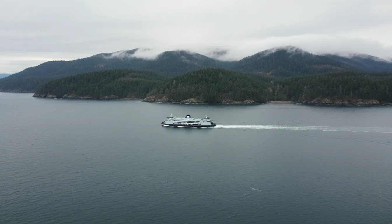
Three Washington State Ferries routes drop you onto the peninsula, plus an international crossing from Victoria. Only one of the three takes vehicle reservations, and it is not the one most people assume.

Seattle – Bainbridge Island: no vehicle reservations. First-come, first-served.
Edmonds – Kingston: no vehicle reservations. First-come, first-served.
Port Townsend – Coupeville: reservations. That is the one.
People assume the big Seattle route is the one that must be booked, and queue-plan accordingly. It is the opposite. Foot passengers never need a reservation on any route. Reservations on Coupeville are free but do not include the fare, and no-shows are charged $10.
⚠️ Reported 2026 summer reservation season: 14 June – 19 September, with fall-season reservations opening Tuesday 21 July at 10 a.m. Those dates are search-summary sourced — we could not load the WSDOT schedules page directly (it redirected across hosts and we did not complete the follow-up). Verify on wsdot.wa.gov before you build a day around them.
🔴 Unresolved and important for our readers: Port Townsend–Coupeville is a small-vessel route with vehicle size restrictions on some sailings, and we could not confirm the current length or height limits anywhere. A loaded rig or a trailer may simply not fit. We are not going to send a big-rig reader onto that route on a guess. Edmonds–Kingston and Seattle–Bainbridge use larger vessels — if you are big, go that way, or call WSF and ask before you book.
The M.V. Coho runs daily, year-round, and was operating normally in 2026. The crossing is 90 minutes and 22.59 nautical miles across the Strait of Juan de Fuca. Sailings from Port Angeles 18 July – 8 September: 8:20 AM, 12:45 PM, 5:15 PM, 9:30 PM; from Victoria 6:10 AM, 10:30 AM, 3:00 PM, 7:30 PM. From 13 October it drops to two each way — 8:20 AM and 2:00 PM from Port Angeles, 10:30 AM and 4:00 PM from Victoria.
🔴 The number our readers need is the overage. Vehicle up to 18 ft plus driver is $88.00, and every additional foot is $6.00. So a 30 ft rig is $88 + (12 × $6) = $160 before you add a single passenger. Adults 12+ are $25.00, children 5–11 $12.50, under 4 free. Motorcycle plus driver $50.00; with sidecar or trailer $75.00. Reservation fees sit on top: one-way vehicle $12.00, round-trip vehicle $18.00, one-way motorcycle $6.00.
🔴 Cutoffs are strict: vehicles must arrive 60+ minutes before departure, foot passengers 30+. Vehicle reservations unclaimed 60 minutes ahead are subject to forfeiture. Walk-on reservations are bookable up to 24 hours prior. The operator notes "Fuel surcharges are subject to change" — fares move, and this table expires 3 January 2027 regardless.
The Coho is a border. Passport, NEXUS and both CBSA and CBP requirements apply in both directions, and they govern what you can carry — food, alcohol, firewood, bear spray, pets and cannabis all have rules that differ by direction of travel.
⚠️ We deliberately did not research border requirements to publishable depth for this issue, and we are telling you that rather than padding the section with generalities. Border rules change, they differ by nationality, and a wrong statement about what you may carry across an international line in a paid guide is a genuine liability. Get your requirements from CBSA and CBP directly for your own nationality and your own vehicle, and do it before you book, not at the booth.
One thing we can connect for you: if you are arriving on the Coho as a non-US resident, read §03 before you buy any pass. The $250 non-resident America the Beautiful tier is new, and for a single-park Olympic trip the $55 Olympic annual or simply paying $30 at the gate will almost certainly be cheaper.
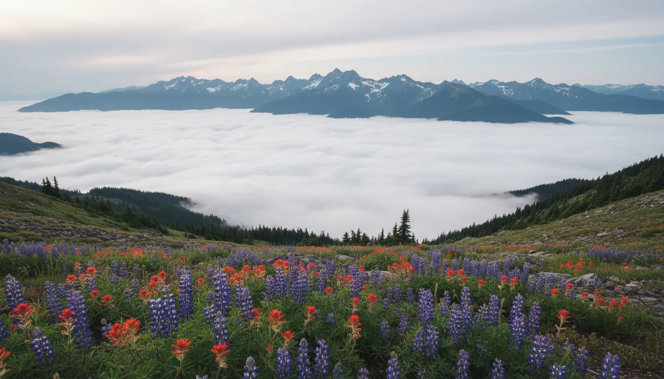
Seventeen paved miles from Port Angeles puts you in subalpine meadow with the whole interior range in front of you. It is the best effort-to-view ratio in the park. It is also, right now, a place with no water, no food and no shelter — and a schedule that half the internet reports wrong.
⚠️ And we will not print a winter 2026–27 schedule, because none has been announced. NPS issues a dedicated news release each autumn and the schedule has genuinely varied year to year — there is an archived release titled "Hurricane Ridge Road Scheduled for Seven Day a Week Access This Winter," so some winters have had all seven days. Anyone planning a winter trip should call the road and weather hotline on 360-565-3131 rather than trust any printed day-of-week table, including one in a guide you paid for.
The Hurricane Ridge Day Lodge — a 12,201 sq ft 1950s building — burned on 7 May 2023 and, in NPS's words, "collapsed to the foundation." The official investigation identified an area of origin but no definite cause; the northeast portion was unoccupied and undergoing interior renovation at the time.
What exists in 2026: restrooms and trash bins in temporary trailers, plus a visitor contact station.
What does not exist: drinking water, food service, a gift shop, ski or snowshoe rentals, or any indoor space to warm up. NPS is direct about why — "temporary trailers provide safe bathrooms, but cannot support gift shops or commercial kitchens."
🔴 On top of that, there is no potable water at all in July and August 2026 because of parking lot construction. NPS says so directly. Fill everything in Port Angeles. It is a 25-mile, 1:15 climb to a place where you cannot buy a bottle of water, and the mountain weather up there swings hard enough that people arrive underdressed and stay too long.
The rebuild is in conceptual / pre-design phase. ⚠️ No completion date has been published and we will not imply one.
Hurricane Hill Road had weekday (Mon–Thu) closures 11 May – 2 July 2026 — now past, but worth knowing if you are reading an older itinerary. July–August 2026 brings construction in the main Hurricane Ridge parking lot, with some meadow trail impacts alongside the water outage.
A Hurricane Ridge Shuttle from Port Angeles is reported to operate 24 May – 7 September 2026. ⚠️ That comes from the Olympic Peninsula Visitor Bureau — a tourism body, not the Park Service — and we could not find the dates confirmed on any NPS page. Verify before you plan around it. If it is running, it is a genuinely good option: with the lot under construction and WTA reporting 1–3 hour waits for parking at peak times, anyone in a big rig is better off leaving it at the bottom.
The trails up here are short and the payoff is immediate: Meadow Loop trails 0.25–0.5 mi with minimal gain; Hurricane Hill 1.6 mi one way / 700 ft, easy to moderate; Klahhane Ridge, 2.8 mi to the junction per NPS, or roughly 5.0 mi round trip with 1,700 ft to a 6,050 ft high point per WTA. No permit is needed for day hiking — the park entrance fee is the whole requirement.
⚠️ Sunrise Point: a lookout reached by a short spur off the High Ridge Trail, commonly given at ~5,500 ft with a roughly 1.2 mi / 200 ft loop approach. Those figures are AllTrails-grade secondary only and are not confirmed on any NPS page. The Switchback Trail approach to Klahhane gains a reported 1,500 ft in 1.5 mi — steep and exposed, and it is where the goat story in §17 happened.
The Hoh is the reason a lot of people come here, and it is worth it. It is also the single worst bottleneck in the park, in a way no reservation system can fix — because there isn't one.
Understand why no booking saves you. There is no timed entry and no entrance reservation at Olympic National Park in 2026 — this is a physical queue at a pay station feeding a limited lot. Buying entrance in advance on Recreation.gov shortens your transaction at the booth, which genuinely helps, but it does not reserve you a place. The clock is the only lever you have. And remember the park is cashless: turning up with folding money is its own delay.
Hall of Mosses — 0.8 mi loop. The iconic one: old growth, club-moss-draped bigleaf maples. Spruce Nature Trail — 1.2 mi loop, old and new growth along Taft Creek and the Hoh River. Both are NPS figures and both are worth doing even in a downpour, which is the likeliest weather.
The Hoh River Trail runs 18.5 miles one way toward the Glacier Meadows area. As a day hike, the sensible turnarounds are Mineral Creek Falls at 2.7 mi and Cedar Grove at 4.0 mi — flat, riverside, and it gets quieter with every mile past the visitor centre.
Pets are not permitted on Hoh forest trails. The campground has food storage lockers at sites, and its dump station is permanently closed — NPS and Recreation.gov agree on that one.
The full Hoh River Trail to the Blue Glacier viewpoint is 37.0 mi round trip, 5,400 ft gain, high point 5,100 ft, rated Hard [WTA — secondary]. Glacier Meadows camp sits at 17.1 mi; the best view is from the lateral moraine at about 18.5 mi, looking across Blue Glacier to Mount Olympus. It is a multi-day trip requiring a wilderness permit, effectively mid-July to September given the high finish.
The crux, about half a mile before Glacier Meadows, is a major washout crossed by a ladder descent. WTA's advice is to keep "three of your four limbs in contact with the ladder the whole way down," and to camp before it if you are unsure about descending with a full pack.
⚠️ Washout and ladder condition change year to year — call the Wilderness Information Center on 360-565-3100 before committing. And ⚠️ older accounts describe a hand-cranked cable car at Glacier Creek. We could not confirm it still exists, current descriptions reference the ladder instead, and this guide does not publish the hand-crank crossing. If you have read about it elsewhere, do not plan on it.

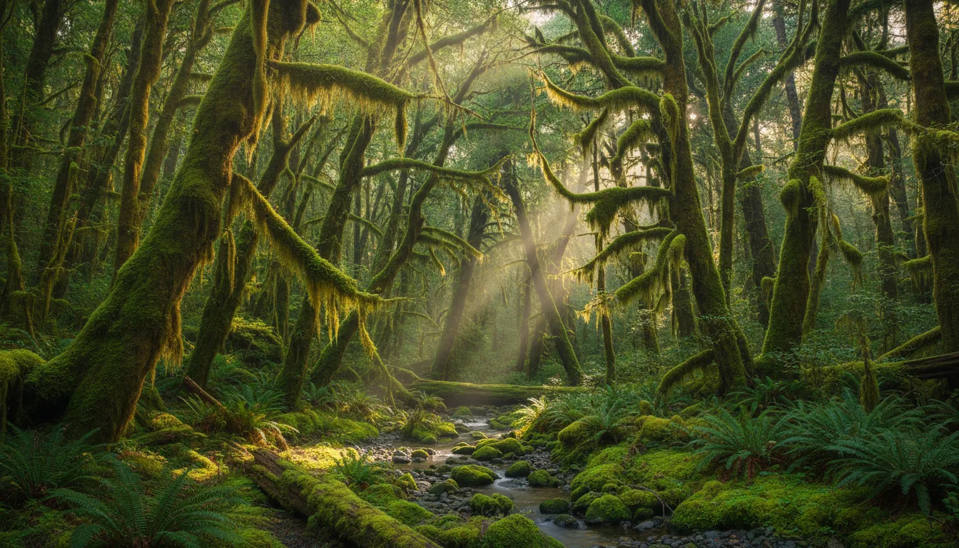
Quinault is a genuine rain forest valley, covered by the same 140–167 inch figure, with the biggest trees on the peninsula and far fewer people than the Hoh. It is also, this season, the part of the loop we can tell you least about, and that is a combination of a closed road and thin sourcing.
South Shore Road is closed at a washout (§00), which blocks the standard route to the south-shore trails and the lodge. Use North Shore Road as the detour — noting that in July–August 2025 NPS closed North Shore at MP 10.2 for culvert work, cutting North Fork and Graves Creek access. That specific closure is historical, but it demonstrates that both shores can be down at once.
On the north shore, Maple Glade is a very short wheelchair-friendly nature loop and Kestner Homestead is its longer companion. The Quinault Rainforest Nature Loop is a short interpretive walk that connects into a wider network — the Quinault National Recreation Trails — which lets you choose your loop length rather than commit to a fixed one.
🔴 We could not confirm a mileage or elevation gain for the Quinault Rainforest Nature Loop, Maple Glade or Kestner Homestead from any source we reached, so this guide publishes none. Get maps at the ranger station, the NPS/USFS kiosks or the lodge. Verify what is actually reachable before building any Quinault day — with South Shore down, the answer changes.
⚠️ No elevation gain for Lover's Lane appears on any official page we reached. It is close to flat; we are not printing a number for it. Above Sol Duc, the High Divide / Seven Lakes Basin loop is 19.0 mi round trip, 4,000 ft gain, high point 5,120 ft, rated Hard [WTA — secondary] past Deer Lake, Lunch Lake, Heart Lake and Bogachiel Peak. It is a quota wilderness area with no second release (§04), bear canisters required, and NPS notes some high-elevation areas only take bookings mid-July to mid-October — treat that as the realistic snow-free window, not a guarantee. ⚠️ NPS frames the season as 15 May – 15 Oct while WTA says the Sol Duc quota runs 1 May – 30 Sept; NPS is authoritative.
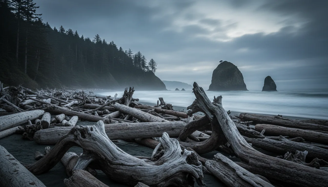
Rialto Beach is the default recommendation on this coast, it appears in essentially every itinerary published anywhere, and for the whole of this season you cannot drive to it. That is not a footnote to work around — it changes which beaches you go to, in what order, and on which tide.
For reference, when it is open, Rialto to Hole-in-the-Wall is 1.5 miles (NPS) — flat, but on cobble and sand, which is slower than it reads. Ellen Creek is crossed en route, and NPS prohibits camping between the Quillayute River and Ellen Creek. It must be passed at lower tide.
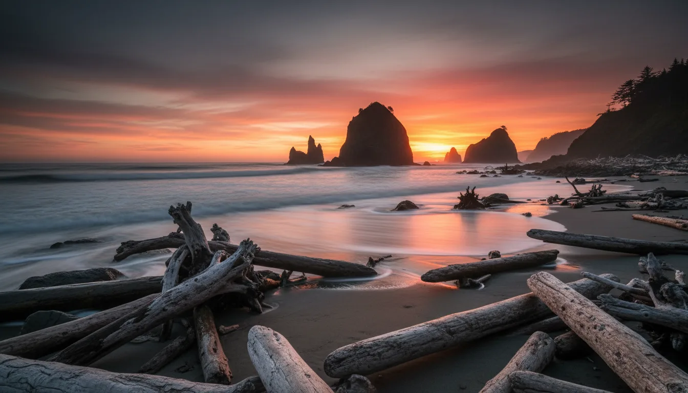
What to do instead. NPS suggests Ruby Beach; the Visitor Bureau also points at First Beach, Second Beach and the Kalaloch beaches. Our read: Second Beach is the closest thing to a like-for-like replacement — sea stacks straight out of the water, an arch to the north with a hole the wind whistles through — and it is reached from La Push Road rather than from Mora, so the closure does not touch it. Ruby Beach is the easiest, straight off US-101 with no spur road to be closed. Take the substitution seriously rather than driving out to see whether the sign is really there.
NPS: 0.7 mi one way. WTA: 4.0 mi round trip, 310 ft gain, 220 ft high point. ⚠️ Those look irreconcilable and we are giving you both with the explanation: NPS is measuring trail-to-sand; WTA's figure presumably includes walking the length of the beach. Both are true about different walks.
Descends through old growth on a gravel-filled crib staircase. No parking pass or entrance fee — the trailhead is on Quileute land off La Push Road, outside the park fee area. WTA's safety note is worth quoting exactly: "Don't go around headlands in case the tide comes in quickly. There's likely not a way to get back."
NPS: 1.4 mi one way; WTA-derived, 3.6 mi round trip, 280 ft, nearly level. No fee. This is also the northern trailhead for the South Coast Route toward Toleak Point.
Immediately past the beach is Taylor Point, with a rope-and-cable-ladder headland bypass — "quite solid ladders that are not for everyone." A Third Beach → Taylor Point out-and-back is reported at 6.6 mi / 1,260 ft.
⚠️ That last figure is a single WTA trip report, not a trail page. Indicative only.
9.2 miles (NPS Ozette Loop page; the day-hiking page says 9 — consistent). Two roughly 3-mile boardwalk trails run from the ranger station out to the coast — one to Cape Alava, one to Sand Point — joined by a ~3-mile beach leg. Wedding Rocks petroglyphs lie on that beach leg.
🔴 The boardwalk is notoriously slippery when wet — this is exactly where the footwear advice in §09 applies. Tide-dependent: NPS says some headlands cannot be rounded even at the lowest tides and you must use the overland trails instead. "Bring a map and a tide chart to plan your route."
Restrictions: camping prohibited on the Ozette Indian Reservation between Cape Alava and the South Side Ozette River sites; Cannonball Island is permanently closed to the public; campfire restrictions between Yellow Banks and Wedding Rocks; no pets, weapons or wheeled devices; canisters mandatory. Access is Hoko-Ozette Road off SR 112 — check SR 112, it floods and slides. Campground is 15 sites, 21 ft limit.
🔴 Shi Shi Beach needs BOTH permits. The trailhead and access run through Makah land, so the Makah Recreation Pass applies; the beach itself continues into Olympic National Park wilderness, which needs a separate NPS wilderness permit. Two sovereigns, two authorities, two purchases. It is roughly 8 miles round trip to Point of the Arches [WTA — secondary], and the first couple of miles are famously, comprehensively muddy — gaiters and shoes you do not love.
⚠️ We could not find a single Makah or NPS page that states the two-permit requirement in one place in those terms — we are combining the Makah permit page with NPS's blanket "backpacking permits are required year-round." It is the safe reading and it errs toward compliance, but we are telling you it is our inference. Confirm with the Makah office and the Wilderness Information Center before you go. ⚠️ Shi Shi overnight parking is at private lots near the trailhead for a separate daily fee — we could not confirm the fee or the operators from any official source, and we do not publish business contact details. Arrange it on arrival in Neah Bay.
This is the highest-consequence section in the issue, and the National Park Service's own language about it is unusually blunt. If you read one part of this guide twice, make it this one.

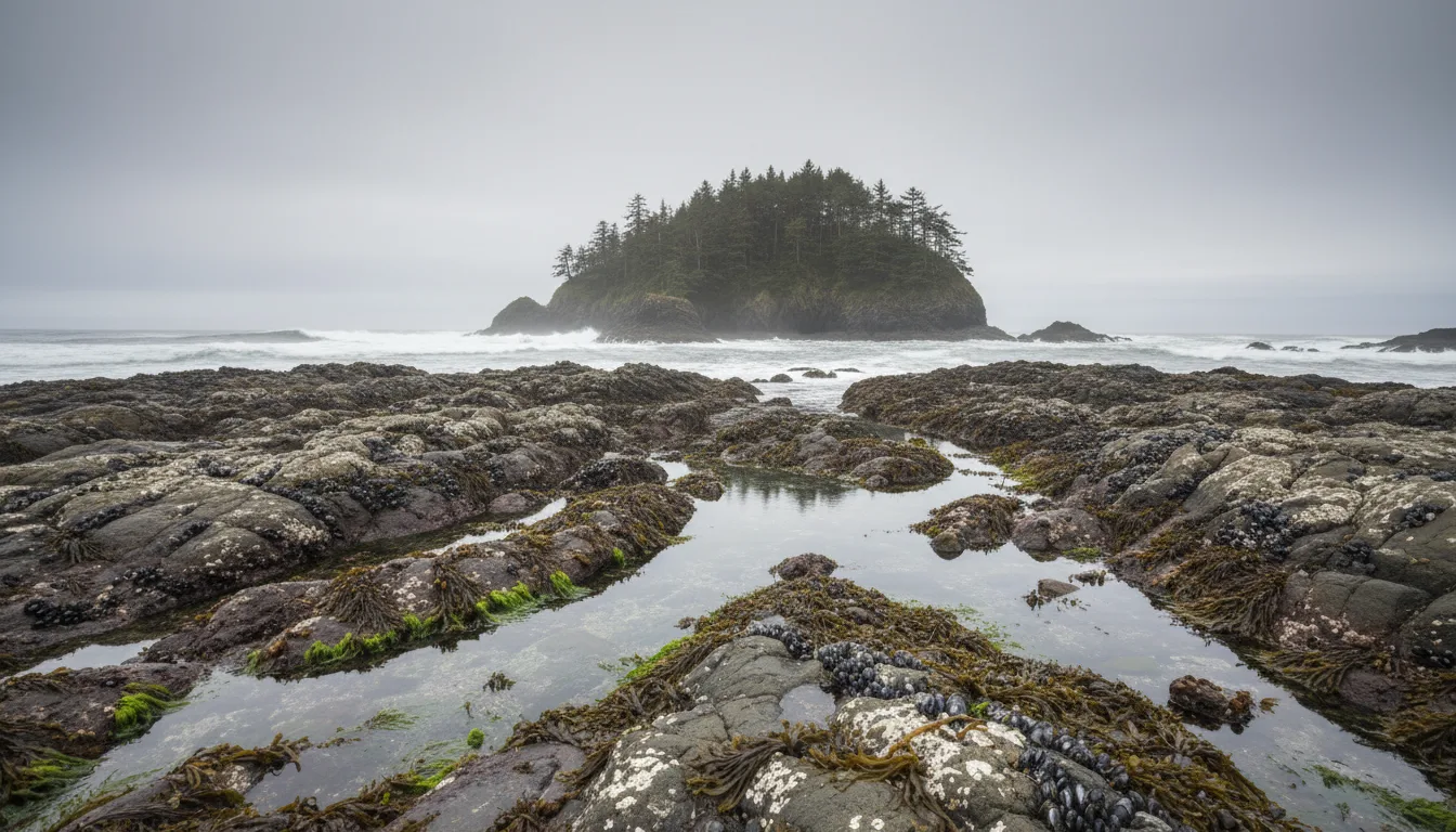
From the wilderness coast page: "the tide can trap you" — and people have died attempting to outrun rising water. Some headlands cannot be safely rounded regardless of tide.
From the tide safety page, verbatim: "Always carry a tide table, topographic map, and keep track of the time whenever hiking along Olympic's coast." NPS calls those three things "essential to safely enjoying this rugged wilderness." Not recommended. Essential.
🔴 And here is the detail almost nobody has heard. NPS warns that at certain locations, impassable conditions can persist through all daylight hours — sometimes for several consecutive days. The intuition everyone arrives with is "wait six hours for the next low." That intuition is wrong on this coast. Sometimes the answer is not today. Sometimes it is not tomorrow either. Sometimes there is only one low tide in a day at all.
NPS also notes conditions are strongest "particularly in the fall, winter, and spring", and that storms can raise tides well above prediction. A tide table is a forecast, not a promise.
We could not obtain an official NPS point-by-point table of "headland X requires a tide below Y feet." Such a table exists in the park's printed Wilderness Trip Planner, but we could not extract per-headland figures from any live official page. NPS publishes only the general range: 4 to 6 feet depending on location.
For Hole-in-the-Wall specifically, secondary sources circulate figures from "+5 ft" to "under 3 ft" to "max 6 ft." Those conflict badly and none is official. Publishing one would be worse than publishing nothing, because a hiker who trusts a number that is two feet wrong is exactly the person NPS is describing when it says people have died. The general guidance we will stand behind: go on a falling tide, aim well below the threshold rather than at it, and turn around rather than commit. Get the actual figure from the Wilderness Information Center or the trip planner map.
⚠️ Also unverified: the widely repeated "round headlands within 1–2 hours before low tide" rule. It appears in secondary sources and it is sound practice — but we could not find it stated on the NPS tides page, so we give it to you as general practice, not as an agency rule.
NPS recommends lightweight, flexible-soled boots — NOT rigid lug soles — on this coast. The reason is specific: soft soles "grip the boardwalk better," and the boardwalks here, particularly at Ozette, are genuinely treacherous when wet.
This runs directly against standard hiking advice and against what most people pack for a "rugged wilderness coast." Take the agency at its word. The injuries here are slips on wood and on wet cobble, not ankle rolls on scree.
Pace: NPS says expect only 5–10 miles per day on the coast — sand, boulders, logs and tide waits. If you plan coastal mileage the way you plan trail mileage, you will be somewhere you cannot leave when the water comes up.
NPS confirms the overland headland bypasses exist and describes them: headland trails are marked with red and black markers and "may include cable ladders or fixed ropes." NPS calls them steep, muddy and minimally maintained, and warns that near cliff edges "thick vegetation can mask the edge." That last sentence deserves a second read.
Taylor Point, past Third Beach, has confirmed rope and cable-ladder systems — WTA trip reports describe "a rope ladder hanging from the cliffs" and multiple ladder systems, then a descent to a cove beyond. "Not for everyone" is the phrase, and it is fair.
⚠️ We could not confirm from any official source which specific headlands have ladders, which have rope only, and which have no bypass at all. That is a real gap in a genuinely consequential place, and we would rather name it than paper over it. Do not plan a coastal route on the assumption that every headland has a way over the top. NPS says outright that some cannot be rounded at any tide.
This is not a theoretical hazard to acknowledge and move past. It is the reason two separate Nations on this coast are physically relocating their villages to higher ground — a decades-long civic project you can see with your own eyes at La Push and Taholah.
Washington's hazard maps model an Extended L1 Mw 9.0 Cascadia Subduction Zone megathrust earthquake. The fault runs offshore, parallel to this coast.
Waves could reach coastal areas in as little as 15 minutes after shaking starts. The state's evacuation modelling assumes departure at 10, 15 and 20 minutes after the onset of shaking, including approximately 3 to 6 minutes of ground shaking.
Read that again slowly. The shaking alone may last three to six minutes, and the wave may arrive about fifteen minutes after it began. There is no alert to wait for and no time to receive one. The earthquake is the warning.
Official guidance: drop, cover and hold on; then, "as soon as they are able," evacuate to high ground — beginning "after the shaking ceases enough for people to safely get going." Identify "the nearest high ground location" in advance. Evacuation routes "may extend a mile or more."
1. Before camping on any coastal beach, look at the map and know which way is up. Many Olympic coastal campsites sit behind headlands with a single steep exit. Work that out in daylight, on arrival, not at 2 a.m. in the middle of a magnitude 9.
2. Learn the three signs. Tsunami Evacuation Route — round, white and blue. Tsunami Hazard Zone — rectangular, blue. Entering / Leaving Tsunami Hazard Zone — hexagonal, orange and white.
3. Check your specific location in advance. Washington DNR's Geology Portal lets you look up any address or location for inundation-zone status and walking time to safety; the evacuation maps are colour-coded by walking minutes at an assumed pace of 2.46 mph. Grays Harbor County publishes its own evacuation maps for the south coast.
4. Know about vertical evacuation. The state describes vertical evacuation structures as "the proven solution to save lives during catastrophic tsunamis... where natural high ground is too far or inaccessible." That is the relevant answer on the flat south coast, where there is simply no hill to run to.
⚠️ 🔴 Do not expect a siren. We could not verify whether outdoor tsunami sirens exist or are audible at any specific beach on this coast — the state page we read did not address sirens at all. This guide will not tell you that you will hear one. Trust the ground. ⚠️ Likewise, the DNR map portal is interactive and we did not extract per-beach walking times, so no specific beach evacuation time appears in this issue. Look yours up.
Further south, the Quinault Indian Nation is relocating the lower village of Taholah, where "Nearly 700 people (about 20 percent of tribal membership)" live, including "nearly 100 elders, 150 children, 175 homes." In March 2014 the seawall protecting Taholah was breached by storm surge, flooding the lower village; on 5 January 2015 the Nation declared another state of emergency after further storms. A 2017 tribal master plan concluded with the decision to move to higher ground, designed around "a shared community center for all ages, with sidewalks, trails, and facilities located within a 5- to 10-minute walk of the majority of housing."
⚠️ Widely reported but not primary-confirmed, and therefore not printed here as fact: the number of planned homes, the cost of the Generations Building, a total relocation cost, and the height of the seawall that was overtopped. Those figures come from press coverage. The honest framing is the one that needs no dollar figure: communities on this coast have spent more than a decade physically moving themselves out of the inundation zone, because the hazard is that real. If you want to understand the tsunami section, look at what the people who live here are doing about it.
Lake Crescent is the most accessible beauty in the park — deep, absurdly clear, right on US-101. It also hosts the most misrepresented objective on the peninsula, and the misrepresentation is on both sides: the ropes are not the park's, and the park cannot agree with itself about the trail below them.
The evidence is partly an absence, and the absence is the finding. The official NPS Mount Storm King page does not mention ropes at all — no rope section, no warning, no acknowledgement. It describes the tread as "Maintained" and gives only generic advice about navigation skills and snow. The Park Service documents the maintained trail and simply does not recognise the roped scramble as part of it.
WTA states it explicitly, and it is the clearest statement available: the climber's trail beyond the maintained trail's end at about 1.3 miles is not official, and verbatim — "The ropes leading to the top are not installed or maintained by the land manager, so know that if you rely on them you are doing so at your own risk." WTA calls the section "unmaintained and quite exposed," and offers the rule that ought to govern the whole thing: don't climb up anything you wouldn't want to climb down. There is an "End of Maintained Trail" sign on the ground [secondary sources].
So: two hikes. One is a legitimate, maintained walk to an end-of-trail viewpoint, and the view from the sign is already excellent. The other, above the sign, is an unsanctioned scramble on fixed lines of unknown age, condition and provenance, above significant exposure, that no agency inspects. Anyone who does not want the second thing should stop at the sign and not feel they have missed the hike. If you do go up: the descent is the dangerous half — that is mechanically true of any steep roped ground and it matches the "wouldn't want to climb down" principle exactly.
⚠️ Hiking media widely report multiple search-and-rescue callouts here each year, most injuries occurring on the descent, and fatalities particularly on wet rock. We could not confirm any SAR statistic or any fatality from an official NPS or county sheriff source, so we are not printing numbers. We keep the descent warning, because that part does not depend on the statistics.
| Source | Distance | Elevation gain |
|---|---|---|
| NPS — Mount Storm King trail page | 1.7 mi one way | ~1,100 ft (600 → 2,700 ft) |
| NPS — Day Hiking at Olympic page | 2.1 mi one way | 2,100 ft |
| WTA [secondary] | 4.0 mi round trip | 2,065 ft, high point 2,600 ft |
Our assessment: WTA and the NPS day-hiking page broadly agree at roughly 4 mi round trip and 2,000-plus feet, and the standalone NPS trail page looks like the outlier — plausibly because it is measuring only to the end of the maintained trail, which would be consistent with everything else on that page. Plan for ~4 mi round trip and ~2,100 ft to the summit scramble — and know that the park's own pages disagree, which is exactly why you should not treat a trailhead sign as the final word on how much day you need.
0.9 mi one way (about 1.8 round trip) via Barnes Creek, modest gain with stairs at the end. A 90-foot waterfall in deep old growth, and NPS calls it "a favorite" without qualification. The right choice when the weather is bad, when the group is mixed, or when you have three hours rather than a day.
4 mi one way, up to 10 mi round trip, 250 ft gain [WTA] — a former rail grade along the north shore, nearly flat, with a wheelchair-accessible extension (NPS). Part of the Olympic Discovery Trail. Cyclists must dismount in the tunnel.
About 1 mile in from the eastern (Lyre River / East Beach) end of the Spruce Railroad Trail. The attraction requires leaving the paved path: just before the McFee Tunnel, a short rooty spur drops to a bridge over a narrow inlet with the deep clear pool beside it. About 2.5 miles beyond, there are views of Barnes Point and Storm King above the lake.
⚠️ Cliff jumping here is popular and has produced injuries. We found no official NPS statement on jumping, so we are flagging it rather than encouraging it. The water is cold enough to matter regardless of the height.
These are governments, not attractions. Several of the places on a standard Olympic itinerary are on tribal land rather than in the national park, and the rules there are the Nation's rules. Everything below is quoted from each Nation's own published words wherever we could reach them — and where we could not, we say so rather than describing a sovereign nation entirely in somebody else's language.
The Makah greet visitors in their own language, translated on their site as "Welcome while you are in Neah Bay, the beginning of the world and the home of the Makah — the Cape People." Their own name for themselves is Qʷidiččaʔa•tx̌ — the Cape People. They state that the name "Makah" was "attributed to the Tribe by the neighboring tribes, meaning 'people generous with food' in the Salish language." Use their framing; it is theirs.
Cape Flattery and Shi Shi Beach are on Makah land, and the $20 Makah Recreation Pass applies — see §03 for the permit mechanics and §08 for the trail. The Tribe asks that visitors "respect the culture of the Makah Tribe and limit your activities to designated visitor facilities."
The Quileute describe themselves as "inhabitants of the Northwest Coast as we have been since time immemorial," who traditionally "hunted, fished and gathered across the Olympic Peninsula," with a "culture deeply rooted in the land, rivers and sea."
Following the 1856 Treaty of Olympia and an 1889 Executive Order, the Tribe was, in their words, "confined to the village of La Push, WA, a one-square mile reservation." The Move to Higher Ground relocation project is covered in §10 — it is the single most important thing to understand about La Push.
⚠️ We did not locate a current Quileute page stating visitor rules, beach access rules or fees for tribal land at First Beach or the marina, so this guide states none. Treat La Push as a village you are a guest in. First Beach is Quileute land — respect local rules and signage.
The Tribe describes itself as "ʔéʔɬx̣ʷaʔ nəxʷsƛ̕áy̕əm̕ – The Strong People" and as "a sovereign, federally recognized Indian Nation, with its own constitution and government." Their stated vision: "To ensure that the Lower Elwha Klallam people can pass on their way of life to their children." Tribal lands comprise "about 1,000 acres on and near the Elwha River."
⚠️ An honest gap, and a significant one. The Elwha dam removal in §13 is their story first. The Tribe's site was reachable, but the pages we retrieved did not contain a quotable Tribal statement specifically about dam removal outcomes or salmon recovery — so this guide lets NPS narrate a story that is not primarily NPS's to narrate, and we would rather flag that than pretend otherwise.
"Chalá·at: People of the Hoh River." Their stated mission is to "ensure our future as a strong, sovereign nation by continuing to preserve and instill our inherent cultural and spiritual traditions."
The reservation was established following "the signing of the Quinault Treaty on July 1, 1855," when they moved to the mouth of the Hoh River.
⚠️ No reservation acreage and no visitor guidance appeared on the pages we read, so this guide states none.
From the US Climate Resilience Toolkit, a federal source: "The homelands of the Quinault Indian Nation (QIN) are located on the Pacific coast of Washington's Olympic Peninsula—the tribe's culture and economy depend on the bounty of the land, forests, rivers, and ocean." The Taholah relocation is covered in §10.
⚠️ Beach access on the Quinault Reservation: we found no verifiable statement of visitor permit rules. The reservation coastline is not open in the way the national park coastline is. This guide says nothing specific about it, and you should contact the Nation directly rather than assume.
"S'Klallam" is, in the Jamestown Tribe's words, "a Salish term for 'The Strong People.'" In 1874, S'Klallam leaders in the Dungeness area, under pressure from non-Indian settlers, "pooled $500 in gold coins and purchased the 210-acres along the Strait of Juan de Fuca, now called Jamestown" — a purchase that "provided a geographical center for group identity and independence." They bought their own land. Federal recognition came on 10 February 1981, after "a six-year effort." They describe themselves as having "always been self-reliant and determined to forge our own path."
The Port Gamble S'Klallam Tribe, on the northern tip of the Kitsap peninsula, state they "were originally known as the Nux Sklai Yem—or the Strong People—and are the descendants of the Salish people who have been well established in the Puget Sound basin and surrounding areas since 2400 B.C." Their reservation was established in the late 1930s; approximately 1,400 tribal members.
🔴 Get this one right: the Skokomish identify as the Twana people. "Skokomish" is the name of the tribal government and reservation; Twana is the people. They run a Twana Language Project. Their stated mission is "To promote, for present and future generations, an independent, sovereign nation that preserves the traditional values, and treaty rights of the Twana people." They are based near Shelton, at the head of Hood Canal.
The Squaxin Island Tribe describe themselves as "descendants of the maritime people who lived and prospered along the shores of the southernmost inlets of the Salish Sea for untold centuries," known as "People of the Water" for their "strong cultural connection with the water." Seven distinct bands united under one nation, with traditional territories spanning seven South Puget Sound watersheds — Carr, Case, Hammersley, Totten, Eld, Budd and Henderson Inlets.
⚠️ The Skokomish site did not state the meaning of the name "Skokomish," so we do not supply one. You will find translations offered elsewhere; they did not come from the Tribe.
Three stories shape what you are driving through: a river being given back to itself, a town whose entire economic basis was removed inside a decade, and the strangest second act any logging town has ever had.
Two dams built in the early 1900s blocked the Elwha. Elwha Dam removal began 17 September 2011, and NPS says it was complete "Six months later." Glines Canyon Dam came out in 2014. NPS calls it "the largest dam removal in U.S. history."
What NPS claims about the recovery, and it is careful, qualitative language rather than population counts: "more than 70 river miles of pristine spawning habitat protected within Olympic National Park" reopened to salmon; "salmon began returning to their natal waters upstream of the dams just months after dam removal," with Chinook showing "the most successful return rates of the five Pacific salmon species." The river historically supported "eleven varieties of salmon and trout."
The sediment story is the one that surprises people. "Millions of cubic yards of sand and silt" went downstream, producing "over a meter of sedimentation in the estuary and over 400 meters of expansion of the river mouth delta landform." The beach at the river mouth physically grew. Revegetation produced "approximately 320,000 plants and 7,000 pounds of seed" — Douglas fir, red alder, black cottonwood, western red cedar, Sitka willow. And in the first two years, researchers detected numerous species representing "natural recolonization and expanding wildlife distributions."
⚠️ We will not print "largest dam removal ever" flatly in 2026. NPS still says "largest in U.S. history," and that was true when written — but secondary sources note it held that title "until the restoration of the lower Klamath River in the 2020s," where four dams came out with completion in 2024. Both claims can be defended depending on the metric. The defensible phrasing is that it was the largest dam removal in US history at the time.
⚠️ Not printed here as fact, because they are secondary-source only and appear on no NPS page we read: the dam heights (108 ft for Elwha and 210 ft for Glines Canyon are well attested but not primary-confirmed), the removal cost (~$325M) and full restoration cost (~$351.4M), and the claim that this is the second-largest NPS ecosystem restoration after the Everglades.
🔴 And we invent no salmon run numbers. NPS publishes qualitative recovery indicators, not population counts, and we found no current citable escapement figure. If you want a number, it has to come from the Lower Elwha Klallam Tribe's fisheries department or NOAA. Anyone quoting you a precise salmon count for the Elwha should be asked where they got it.
Note the practical angle too: the Elwha / Olympic Hot Springs Road is closed to vehicles but open to bikes and feet, which makes the valley one of the best and quietest bike objectives on the peninsula right now (§16).
⚠️ The UNESCO World Heritage Centre page returned HTTP 403 to us, so we could not verify the inscription criteria or the official inscribed area from UNESCO directly; the 1976 and 1981 dates come from NPS, which is authoritative enough for dates. ⚠️ Not printed as fact, being secondary-source only: the park's acreage, the "more than 70 miles of Pacific coastal beach" figure, and the widely quoted claim of "more than 650 archeological sites documenting over 13,500 years of human occupation" — that last is a strong claim and deserves primary verification before anyone repeats it. ⚠️ We could not confirm the wilderness designation date or the designated wilderness acreage and therefore state neither.
This is the defining modern conflict of the west peninsula, and we report the positions factually and take no side.
7 August 1986: the US Forest Service began limiting timber sales to protect the northern spotted owl. 26 June 1990: the US Fish and Wildlife Service listed the owl as "threatened" under the Endangered Species Act across Oregon, Washington and California, imposing immediate restrictions on old-growth logging on federal land. October 1990: court injunctions against clear-cutting in owl habitat led to the closure of the Pacific Lumber Co. mill in Forks — one of the town's primary employers. 13 April 1994: the federal government adopted the Northwest Forest Plan, conserving the owl across 24.5 million acres of federal land over 100 years, preserving roughly 70% of federally owned old growth and cutting timber sales to less than a quarter of 1980s levels. Region-wide, over 30,000 timber jobs were lost between 1990 and 2000.
Both sides were describing something real: an irreplaceable old-growth ecosystem, and towns whose entire economic basis was removed inside a decade by decisions made elsewhere. A reader driving through Forks is driving through the aftermath of that. Neither "loggers were villains" nor "environmentalists killed the town" survives contact with the record.
⚠️ Sourcing caution we are passing on rather than burying: one search result for the Forks mill closure was Grokipedia, which we do not treat as reliable. The October 1990 mill closure and the 30,000-jobs figure should be independently re-verified against HistoryLink or a newspaper archive. We are flagging it rather than laundering it.
Pre-Twilight, Forks saw roughly 5,000–10,000 visitors a year. Visitation peaked in 2009 and 2010 at about 70,000 each year; more recently the town recorded a busiest-ever year with over 90,000 visitors, and 2023 was the third-highest on record. In 2023, food, retail and accommodations made up 32% of Forks' economy — two decades earlier that figure was 16%. Reported shop revenues went from $500–$800 per summer day in 2000 to $5,000–$6,000 per summer day in 2010.
The joke is not on Forks. A timber town that lost its mill, got handed a teen vampire franchise it did not ask for, and then competently monetised it for the better part of twenty years has done something genuinely impressive. The funny part is the situation: the rain that made logging miserable is the exact thing the novels needed. Nobody in Forks planned that and everybody in Forks made the best of it.
If you are here in mid-September, know that the Forever Twilight in Forks Festival runs 10–13 September 2026 — four days, confirmed on the official Forks site. Attending the festival itself needs no ticket; most events are free and open to all. Book accommodation early, because 90,000 visitors a year is a great many for a town this size and a festival weekend concentrates them.
⚠️ The economic figures above are journalistic secondary sources, not municipal data, and the "over 90,000" claim has no year attached in what we read — we have not invented one. ⚠️ Festival guest lineups and paid VIT package pricing change constantly and are not printed here; the dates are the durable fact.
Olympic is a reservation-first park in summer for its headline campgrounds and first-come for almost everything else. Which one you are dealing with — and whether your rig physically fits — is the whole game.
| Campground | Sites | Season | Reservations | Fee | Max RV | Water | Dump |
|---|---|---|---|---|---|---|---|
| Kalaloch | ⚠️ 160–170 | Year-round | Required 15 May – 20 Sept 2026 | $24 | ⚠️ 35 ft nominal | Yes | Yes ($10) |
| Hoh Rain Forest | ⚠️ 72–78 | Year-round | Required 12 June – early Sept 2026 | $24 | ⚠️ 35 ft nominal | Yes | No — permanently closed |
| Sol Duc Hot Springs | 82 + 17 RV | Year-round primitive | Required 20 Mar – 1 Nov 2026 | $33 / $58 RV | 36 ft | Yes | Yes ($10) |
| Mora | 94 | Year-round | Required 15 May – 20 Sept | $24 | 35 ft | Yes | ⚠️ Yes ($10) — but see the road closure |
| Fairholme (Lake Crescent) | 88 | 25 Apr – 29 Sept 2026 | Required 15 May – 29 Sept | $24 | 35 ft | Yes | Yes ($10) |
| Heart O' the Hills | 97 | Year-round | First-come — the big walk-up fallback | $24 | 35 ft | Yes | No |
| Staircase | 49 | Seasonal | Required 8 July – 29 Sept | $24 | 35 ft | Yes | No |
| South Beach | 55 | 19 May – 10 Oct 2026 | First-come | $20 | 35 ft | 🔴 None | No |
| Ozette | 15 | Year-round | First-come | $20 | 🔴 21 ft | Yes | No |
| Graves Creek | 30 | Year-round | First-come | $20 | 🔴 RVs not allowed | None | No |
| Deer Park | 14 | June – mid-Oct | First-come | $15 | 🔴 Tents only | None | No |
| Queets | 20 | Year-round | First-come | $15 | ⚠️ Not recommended | None | No |
| North Fork | 9 | Year-round | First-come | $20 | ⚠️ Not recommended | None | No |
| Log Cabin Resort | 38 | May – Oct 2026 | Required | $25–$44 | 35 ft · full hookups available | Yes | No |
Anyone over about 24 feet must open the individual site page on Recreation.gov before booking. This is the correction most worth making loudly in this issue, because it is exactly the error that strands a rig on a one-way campground loop under low branches in the rain, at night, with nowhere to turn around.
The hard low limits that are real and confirmed: Ozette 21 ft · Graves Creek RVs not allowed · Deer Park tents only (the gravel access road is the reason) · Queets and North Fork "not recommended." Those four are not negotiable and not a matter of confident driving.
These are two arms of the same federal government contradicting each other. We did not resolve them and we are not going to quietly choose:
| Item | NPS says | Recreation.gov says |
|---|---|---|
| Kalaloch site count | 170 | 160 (incl. 1 group, 4 accessible) |
| Hoh site count | 78 | 72 (incl. 1 group, 1 ADA) |
| Hoh reservation end | 8 Sept 2026 | 6 Sept 2026 |
Our reading, offered as a reading rather than a fact: Recreation.gov is the live booking inventory and is more likely right on counts; NPS is the authority on policy. For the reservation end date we would lean toward Recreation.gov, since it is the system that actually stops taking bookings — but we could not confirm which is correct. Plan for "reservations through early September" and verify the exact date at the moment you book. A two-day error on the last night of a trip is a real problem.
RV dump stations exist at exactly four NPS campgrounds, $10 each: Fairholme, Kalaloch, Mora and Sol Duc. ⚠️ But Mora Road is closed to through traffic 8 July – 15 October, and whether the Mora dump is reachable during that closure is unresolved — the campground is reported open behind the closure. Do not build a dump plan around Mora this season without confirming it.
🔴 Effective 2026 reality: three reliable in-park dumps — Fairholme, Kalaloch, Sol Duc. Fairholme and Sol Duc are both on the north and northwest side, which makes Kalaloch your only in-park dump on the entire coastal and southern half of the loop. Plan the tank accordingly. Sol Duc RV Park includes dump with the site; Log Cabin Resort offers full-hookup sites.
Potable water — has it: Fairholme, Heart O' the Hills, Hoh, Kalaloch, Mora, Ozette, Sol Duc, Staircase, Log Cabin Resort. Does not have it: Deer Park, Graves Creek, North Fork, Queets and South Beach. Plus, in July and August 2026, Hurricane Ridge.
Other confirmed rules: the Discover Pass is not accepted in the national park; 7-night maximum during reservation season and a 21-day annual limit across all Olympic park campgrounds combined; gathering firewood is prohibited at Kalaloch — buy it from the lodge; the Hoh has food storage lockers at sites.
Outside the park the rules invert: the Forest Service is almost entirely first-come where the park is reservation-first. This section also contains something you will not find in a competing guide, which is a clear statement of which categories we simply did not cover.
| Site type | Peak 15 May – 15 Sept | Shoulder | Winter |
|---|---|---|---|
| Primitive / water trail | $12 | $12 | $12 |
| Standard | $31–$43 | $23–$35 | $23 |
| Partial utility | $41–$51 | $35–$46 | $35 |
| Full utility | $46–$56 | $41–$51 | $41 |
🔴 Non-resident surcharge: an additional $15 per reservation. Trekkr readers are heavily Canadian and out-of-state, so this one lands on us specifically. It applies per reservation, not per night — which means one long booking costs you $15 and five short ones cost you $75.
On top: reservation $8 online / $10 by phone; change or cancel $8/$10; extra vehicle $10 per night; sites hold up to 8 people. Four coastal parks including Fort Worden hold shoulder-season pricing through winter. You do not need a Discover Pass on top of camping — it is waived if you have already paid to camp in that park.
⚠️ Unverified 2026 season dates: Seal Rock 15 May – 27 Oct · Hamma Hamma 15 May – 27 Oct · Falls View 21 May – 15 Sept, north loop had spring work with an "expectation it will be open by early summer" · Klahowya 15 May – 14 Sept.
⚠️ Unverified but genuinely useful operationally: all Olympic NF campgrounds are first-come, first-served EXCEPT Willaby and Falls Creek at Quinault, which are reservable. Most are cashless — self-service stations or scan-and-pay. 🔴 Scan-and-pay needs cell service, OR it works offline if you download the Recreation.gov app beforehand. That is a real tip for the Quinault and Hamma Hamma corridors where coverage dies, and it is worth acting on even while hedged: download the app before you leave pavement.
Dispersed camping in the national forest — ⚠️ secondary source only, consistent with standard Region 6 rules but not confirmed from the Forest Service: almost all of the forest is open to it; camp 200+ feet from water; screen sites from roads and trails; no fee, no permit. The Hamma Hamma River Valley on NF-25 near the Lena Lake trailhead reportedly has good pull-outs — small vans and tents only, not trailers or large rigs. 🔴 Regardless of source: dispersed camping is subject to seasonal fire restrictions and Industrial Fire Precaution Levels, which in a dry August can ban campfires or close roads outright. We did not retrieve 2026 fire restrictions and this guide states none — check before you strike a match.
If your trip depends on one of those three categories, this issue is not your source for it, and we would rather you knew that at the planning stage than discovered it at a locked gate. NOAA's Olympic Coast sanctuary maintains a camping-options overview that may be a useful cross-check starting point.
One table, so you can match an objective to the day you have. Where a figure is official we say whose it is; where two official sources disagree we print both; and where nothing exists, the cell says so rather than carrying a guess.
| Objective | Distance | Gain | Effort | Access & source |
|---|---|---|---|---|
| Hall of Mosses (Hoh) | 0.8 mi loop | Minimal | Anyone | NPS. The iconic one. Get there before 9am or after 5pm — the gate queue, not the trail, is the constraint |
| Spruce Nature Trail (Hoh) | 1.2 mi loop | Minimal | Anyone | NPS. Old and new growth, Taft Creek and the Hoh River. No pets on Hoh trails |
| Cape Flattery | 0.75 mi to the overlook | 200 ft loss — uphill on the way back | Easy | Makah Tribe's own figures. 🔴 Makah Recreation Pass required, printed and in the windshield. Dawn to 30 min after sunset. Four decks, Tatoosh Island |
| Sol Duc Falls | 1.6 mi RT (NPS: 0.8 one way) | 200 ft | Easy | WTA + NPS, consistent. Road open. No dogs. High point 1,951 ft |
| Marymere Falls | 0.9 mi one way | Modest, stairs at the end | Easy | NPS calls it "a favorite." 90 ft falls. The best bad-weather day at Lake Crescent |
| Second Beach | ⚠️ NPS 0.7 mi one way / WTA 4.0 mi RT | 310 ft [WTA] | Easy | No pass or fee — Quileute land off La Push Rd. The closest replacement for Rialto this season. Both figures given: NPS is trail-to-sand, WTA includes the beach |
| Third Beach | NPS 1.4 mi one way | 280 ft [WTA-derived] | Easy | No fee. Northern trailhead for the South Coast Route. Taylor Point ladders begin immediately past the beach |
| Hurricane Hill | 1.6 mi one way (3.2 RT) | 700 ft | Easy–moderate | NPS day-hiking page. No water at Hurricane Ridge — carry it all. Parking waits of 1–3 h at peak [WTA] |
| Spruce Railroad Trail | 4 mi one way (up to 10 RT) | 250 ft [WTA] | Easy · nearly flat | Former rail grade, wheelchair-accessible extension (NPS). Devil's Punchbowl at ~1 mi from the east end. Part of the Olympic Discovery Trail |
| Mineral Creek Falls / Cedar Grove (Hoh River Trail) | 2.7 mi / 4.0 mi one way | Gentle | Moderate | NPS. The sensible day-hike turnarounds on an 18.5 mi trail. It empties out fast past the visitor centre |
| Shi Shi Beach → Point of the Arches | ~8 mi RT [WTA] | Low | Moderate · mud | 🔴 BOTH the Makah pass AND an NPS wilderness permit if overnight. First miles notoriously muddy. Overnight parking at private lots — arrange in Neah Bay |
| Ozette Triangle | 9.2 mi loop | Low | Long, tide-governed | NPS. Two 3-mi boardwalks + a 3-mi beach leg. 🔴 Slippery boardwalk — soft soles. Some headlands cannot be rounded at any tide. Wedding Rocks petroglyphs |
| Klahhane Ridge | NPS 2.8 mi to junction · 5.0 mi RT [WTA] | 1,700 ft, high point 6,050 ft [WTA] | Moderate–strenuous | Switchback Trail approach gains a reported 1,500 ft in 1.5 mi — steep and exposed. Wildflowers, marmots, and the goat history in §17 |
| Mount Storm King | 🔴 NPS contradicts itself — see §11 ~4 mi RT to the summit scramble | ~2,100 ft | Two different hikes | 🔴 Maintained trail ends ~1.3 mi. The ropes above it are NOT sanctioned, installed or maintained by the park. Stop at the sign and the view is already excellent |
| Mount Ellinor (National Forest, not the park) | Lower TH 6.2 mi RT · Upper TH 3.2 mi RT | 3,300 ft / 2,444 ft | Steep throughout | ⚠️ All figures WTA-sourced — the USFS page returned 403 and none of this is verified against the land manager. Summit 5,944 ft. NW Forest Pass at the upper trailhead only. Goats frequent it |
| High Divide / Seven Lakes Basin | 19.0 mi RT [WTA] | 4,000 ft, high point 5,120 ft | Hard · 2–3 nights | 🔴 Quota wilderness — no second release. Canisters required. Realistically mid-July to mid-Oct for snow |
| Hoh River Trail → Blue Glacier | 37.0 mi RT [WTA] | 5,400 ft, high point 5,100 ft | Hard · multi-day | Wilderness permit. Ladder descent over a washout ~0.5 mi before Glacier Meadows — condition changes yearly, call 360-565-3100 |
| Rialto Beach → Hole-in-the-Wall | 1.5 mi one way (NPS) | Flat | 🔴 NOT REACHABLE BY CAR 8 JULY – 15 OCT 2026. Mora Road closed. See §00 and §08. | |
| Quinault Rainforest Nature Loop · Maple Glade · Kestner Homestead · Lover's Lane gain · Sunrise Point | 🔴 No confirmable figures. We could not establish a mileage or gain for the Quinault Nature Loop, Maple Glade or Kestner Homestead from any source we reached; no official page gives an elevation gain for Lover's Lane (a 5.8 mi loop per NPS, close to flat); and Sunrise Point's ~5,500 ft elevation and its High Ridge loop mileage are AllTrails-grade secondary only. These are real walks with unpublished numbers. Carry a map, or treat them as unmeasured. | |||
⚠️ We publish no total mileage for the Olympic Discovery Trail. The organisation's own homepage did not state a total planned or completed length in the content we retrieved, and the widely quoted "~130 miles" is unconfirmed. The trail is actively under construction with on-road connector gaps; the segment maps on the ODT site are the only reliable current picture, and they change. This is the fastest-rotting material in the issue.
The real story is the water temperature. It "barely gets over 60°F" even in peak summer, typically 55–60°F. The recommendation is a 4/3 wetsuit in summer and a hooded 5/4 or 6/5 once it drops. Boots, gloves and a hood are normal here, not optional extras. This is cold-water surfing and it should be planned as such.
The bear picture here is simpler than most of our destinations. The goat picture is stranger, sadder and more instructive than anything else in this issue.
Olympic has black bears only. There is no grizzly population on the Olympic Peninsula. If you are coming from our BC and Alberta issues, that is a genuine simplification: the bear response you need here is the black-bear one.
⚠️ Precise about our evidence: NPS wildlife-safety material for this park references black bears and makes no mention of grizzlies — it is an absence on the page rather than an explicit agency statement that there are none. The underlying fact is not seriously disputed.
Maintain at least 50 yards — half a football field — from all wildlife. NPS asks you to report "a bear approaching you at a distance of less than 50 yards, a bear entering your campsite, or a bear that attempts to take your food."
Food storage is a rule, not a suggestion. In wilderness: "all food, garbage, and scented items such as toothpaste, deodorant, sunscreen, hand sanitizer, and chapstick, must be stored in park approved Animal Resistant Food Canisters." In frontcountry campsites: in your vehicle, in a park-provided food locker, or in an animal-resistant container.
⚠️ We did not verify which specific zones mandate canisters versus where hanging is permitted, and this guide states no zone-by-zone rules. Assume canister everywhere in wilderness — it errs toward compliance.
"Mountain goats were introduced to the Olympics in the 1920s." They are non-native, damaging to the park's endemic alpine plants, and they developed a habit of approaching hikers for the salt in sweat and urine.
In October 2010, Robert Boardman, 63, of Port Angeles, was fatally attacked by a mountain goat at Klahhane Ridge, about four miles from the Hurricane Ridge Visitor Center. He was hiking with his wife Susan Chadd and a friend, Pat Willits; the group had stopped for lunch when the goat became aggressive. Boardman urged the others ahead while he tried to drive it off. It took rescuers nearly an hour to reach him because the goat stood over him. Park spokeswoman Barb Maynes said the animal was known for aggressive behaviour, including following people along trails, and the park had monitored it "for the last several years." It was Olympic's first wildlife-caused fatality, and possibly the first fatal mountain goat attack ever recorded.
⚠️ Sources give both 16 and 17 October 2010. We print "October 2010" rather than pin a date we cannot verify against a primary record.
The removal programme. On 18 June 2018 the NPS regional director signed a Record of Decision authorising removal of mountain goats from the park. September 2018: 115 goats captured by helicopter, 98 translocated to the northern Cascades. Final tallies, Sept 2018 – Aug 2020: "A total of 325 mountain goats have been translocated" and "381 mountain goats were removed from Olympic National Park and Olympic National Forest." Also: 16 kids placed permanently in zoos, 22 capture-related mortalities, 6 euthanised as unfit for translocation, 4 died in transit, and "Eight animals that could not be captured safely were lethally removed."
Practical upshot: goats are now rare here, and NPS asks you to report "a Mountain Goat anywhere on the Olympic Peninsula." If you meet one, keep well back, do not let it approach, and urinate well off-trail and away from camp — the salt is the entire attraction. ⚠️ That last piece is standard alpine guidance, widely published, but we did not confirm it on an NPS Olympic page — take it generically. ⚠️ We could not verify whether any goats remain or find a current population estimate, and we state none. Note that goats are also reported to frequent Mount Ellinor, which is national forest.
NPS asks that you report any cougar sighting in the park, and states plainly: "Knowing how to respond when you see a cougar can save your life."
⚠️ The standard response protocol — make yourself large, do not run, do not crouch, fight back, pick up small children — is well-established agency guidance, but we did not read it on the Olympic page and we are not going to present it as an Olympic NP quote. Get it from WDFW, and know it before you need it rather than after.
The relevant species is the western blacklegged tick (Ixodes pacificus), Washington's vector for Lyme disease and anaplasmosis. It is mainly found in western Washington and can occur "in forested and brushy areas on the Olympic Peninsula." In a statewide survey, 4 of 19 I. pacificus ticks collected in Clallam County between August 2012 and July 2013 tested positive for Borrelia burgdorferi, the Lyme bacterium. Washington reported its first locally acquired human anaplasmosis case in 2022.
Both halves of the truth: Lyme risk in Washington is low compared with the US northeast — and it is not zero on this peninsula, and the Clallam County survey is the specific evidence for that. Check clothing, gear, skin and pets after moving through brush.
Nothing about the Olympic Peninsula's climate is extreme in the way people prepare for. It is rarely very cold. It is wet, and windy, and about ten degrees — which is the exact recipe the National Park Service calls the number one killer in the outdoors.
NPS, verbatim: "Precipitation in Olympic's rain forest ranges from 140 to 167 inches (12 to 14 feet) every year." The Hoh's own figure is approximately 140 inches — the bottom of that range, and still one of the wettest places in the contiguous United States. Rain is common year-round in the Hoh, Quinault, Queets and Bogachiel valleys, and NPS advises coming prepared with rain gear.
The three wettest months are November, December and January. July is the driest month, with less than 2 inches. That last figure is the one that lulls people — and the honest framing is that "typical" July dryness is not a guarantee. A wet week in July here is entirely normal. Pack for rain in every month, because the gear penalty for being wrong is a soaked sleeping bag two days from a road.
⚠️ Sourcing precision: the 140–167 inch quote is directly NPS and is solid. A separate 140–170 inch range and the "less than 2 inches in July" figure came through aggregation including Wikipedia rather than being extracted from an NPS-stated annual total — treat the specific numbers as approximate and hedged; the quoted NPS range is the one to rely on.
NPS is blunt about it: "Hypothermia (depressed body temperature) is the number one killer in the outdoors. It can occur quickly or more slowly from long exposure to cold, rain and wind."
This is the peninsula's signature risk and it is badly under-respected precisely because it does not look dangerous. It is not usually cold here — it is wet and windy at 8–12 °C, which is the classic hypothermia window, and far more dangerous to an unprepared hiker than a hard freeze, because a hard freeze makes people take it seriously. Cotton, rain, wind and a long day is the whole recipe. Nothing else needs to go wrong.
River crossings, direct from NPS: "Scout for the best crossing. Look for wider, shallower areas with safe downstream conditions. Cross in the morning before snowmelt swells the water level."
⚠️ We found no NPS-stated water temperature or cold-water-shock guidance for Olympic's coast, so this guide prints no water temperature. The Pacific here is cold year-round and the surf is powerful; that is as specific as our sourcing supports. The surf-media figure of 55–60 °F in §16 is what it is — surf media, not an agency.
We are going to give you one sentence from the Park Service and refuse to give you the carrier table you were probably hoping for. The refusal is the useful part.
Every cell-coverage claim we could find for this peninsula traces back to TripAdvisor forum posts. Not a carrier coverage map — those are JavaScript applications we could not read — and not an NPS page, because we could not locate one on the subject.
For completeness, forum consensus reports Verizon as generally best on the peninsula but still dropping in and out; AT&T as poor inside the park but working in Forks and at Lake Crescent; no coverage in the Hoh or Sol Duc valleys; coverage disappearing south of Forks toward Kalaloch with texts sometimes getting through and no voice; and reception at the Lake Quinault lodge but none up the valley. We are reporting that as forum consensus, which is what it is, and we will not build a table out of it.
The safe, true and useful statement is the one we will stand behind: assume no service once you leave US-101, and assume none at all in the interior valleys. Plan as though that is certain, because planning around a forum post about someone's 2019 signal bar is not planning.
The medical picture on this peninsula has a specific shape that is worth understanding before you need it. The fuel picture has a hole in it that we could not fill, and we would rather hand you the hole than a number we made up.
| Facility | Where | 24h ER | Notes |
|---|---|---|---|
| Olympic Medical Center | Port Angeles | Yes | The main hospital for the north peninsula |
| Forks Community Hospital | Forks | Yes — "open 24-hours a day, 365 days a year" | 25-bed Critical Access Hospital. The closest ER to the Hoh, La Push and the west coast beaches |
| Jefferson Healthcare | Port Townsend | Yes | 25-bed Critical Access Hospital; ED reported as a Level IV trauma centre — advanced trauma life support prior to transfer |
| Harbor Regional Health (Grays Harbor) | Aberdeen | Yes | Main ER for the south coast and the Quinault side |
🔴 The framing that matters more than the list: these are small rural hospitals — excellent at stabilising you, and not equipped for everything. Serious trauma on this peninsula means transfer, often to Seattle or Tacoma, often by air, and often delayed by weather. The nearest ER to the Hoh Rain Forest or the west coast beaches is Forks, and from the far coast you are a long drive from even that. Build that into how you assess risk out here, not into how you react afterwards.
⚠️ We are deliberately printing no hospital street addresses. The Forks 24h/365 quote and its Critical Access status came from the hospital's own site and are solid; the Olympic Medical Center, Jefferson Healthcare and Grays Harbor addresses, and Jefferson's Level IV trauma status, came through search aggregation rather than pages read on the providers' own sites — the Jefferson ED URL we tried 404'd. A wrong hospital address in an emergency is exactly the failure this guide exists to prevent, so we give you the town and the name and let your phone or a local give you the door. Confirm on the provider's own site before you travel if it matters to your planning.
⚠️ Secondary sources only, but consistent across several: there are no gas stations inside Olympic National Park. Fuel is in the gateway towns — Port Angeles, Sequim, Forks, Amanda Park, La Push. We could not find an NPS page enumerating fuel locations; the URL we expected returned 404.
🔴 The longest no-services stretch: we could not confirm it, and we will not guess it. The candidate is US-101 between Forks and Amanda Park, running down the coast past Kalaloch and Queets. Both towns have fuel, and the Hoh is reported at about 31 miles from Forks. But no authoritative distance for Forks → Amanda Park exists that we could find, and we will not compute one from the broken NPS mileage chart (§02) — deriving a safety-relevant fuel number from a table that is provably wrong is exactly how bad numbers get laundered into guides.
What to do instead, which costs you nothing: fill up in Forks before heading south, and fill up in Amanda Park or Aberdeen before heading north. Treat that leg as your longest, whatever its actual mileage turns out to be. The habit is correct even though the number is missing.
🔴 Propane: could not confirm. We found no authoritative source listing propane refill locations anywhere on the peninsula, and we do not publish business addresses. Top off in Port Angeles or Aberdeen — the two largest towns on the loop — and know that we have verified no specific vendor.
We could not verify town services against primary municipal or official-tourism sources at the level of confidence the rest of this issue holds. What follows is thin, and we would rather hand you a labelled gap than a confident-sounding fiction about where you can get a shower.
Port Angeles — the largest service town on the north peninsula and the most complete resupply on the route. Multiple full groceries, outdoor outfitters and laundromats, and home of Swain's General Store, a genuine general store carrying outdoor, home and garden goods. Olympic Medical Center is here, and it is the gateway to Hurricane Ridge. If you are going to do one proper resupply on this loop, do it here.
Sequim — lodging and general services, in the rain shadow and notably drier than Forks. Sunny Farms in Carlsborg just west of town is noted for produce, meat and fish. Forks — the practical base for the Hoh, La Push and the west coast beaches, and the nearest ER to all three. Port Townsend — Victorian seaport at the northeast corner, with Jefferson Healthcare. Aberdeen — south coast gateway, described as a practical resupply with fuel, groceries and straightforward accommodation.
⚠️ Quinault: no verified service information at all. It is a very small settlement on the lake and travellers should not assume grocery, fuel, laundry or gear availability. Resupply before you arrive. We state that as a caution rather than as a verified fact, which is the honest version.
🔴 The thing we most wanted and could not deliver: what each town is NOT good for. Negative service claims — "no laundromat in X" — are both hard to source and genuinely damaging if wrong. We are flagging that rather than guessing. ⚠️ Forks' grocery, gear, laundry and shower provision is unverified, and since Forks is the key west-side base, that is the most important gap in this section. ⚠️ Aberdeen's description is secondary-source only and weak.
Not a general camping list. These are the things that are different here, and one of them is the opposite of what you have been told everywhere else.

Built around this season's constraints rather than a wish list: what is closed, where the dumps are, which gate queues, and the fact that half the classic itinerary needs rewriting. Each shape names what you must book and what will ruin it.
Run it the night before. Tap each item as it's done — these are the twelve things that are specific to this peninsula, and that a general national-park habit will skip.
Every guide has these. Most don't print them. This is the consolidated list of what we could not stand up, what we deliberately withheld, and where the numbers you'll see elsewhere come from — because on a coast where the tide can trap you and the park doesn't take cash, a confident wrong number costs more than an admitted gap.
Everything above, condensed into a print-ready PDF built for the glovebox — for a loop where the park takes no cash, the signal dies past the highway, and the most-recommended beach on the coast is behind a closed road. The three closures that break the standard itinerary, the three-tranche campground release, the pass systems and which one is useless where, the tide procedure and the NOAA station, the tsunami rules, the rig-length correction, every phone number that matters, and the honest list of what nobody publishes — on paper that works where the signal doesn't.
Every Trekkr Trail Journal is built like this one: custom logistics, honest trail beta, the camping and access detail, kit lists and the local knowledge that turns a good trip into the one your crew talks about for years — including, always, a plain list of what we could not confirm. New destinations drop all season long; this is our first over the line into Washington, and the start of the US Pacific Northwest arc.
Unlock the Trail Journal Library