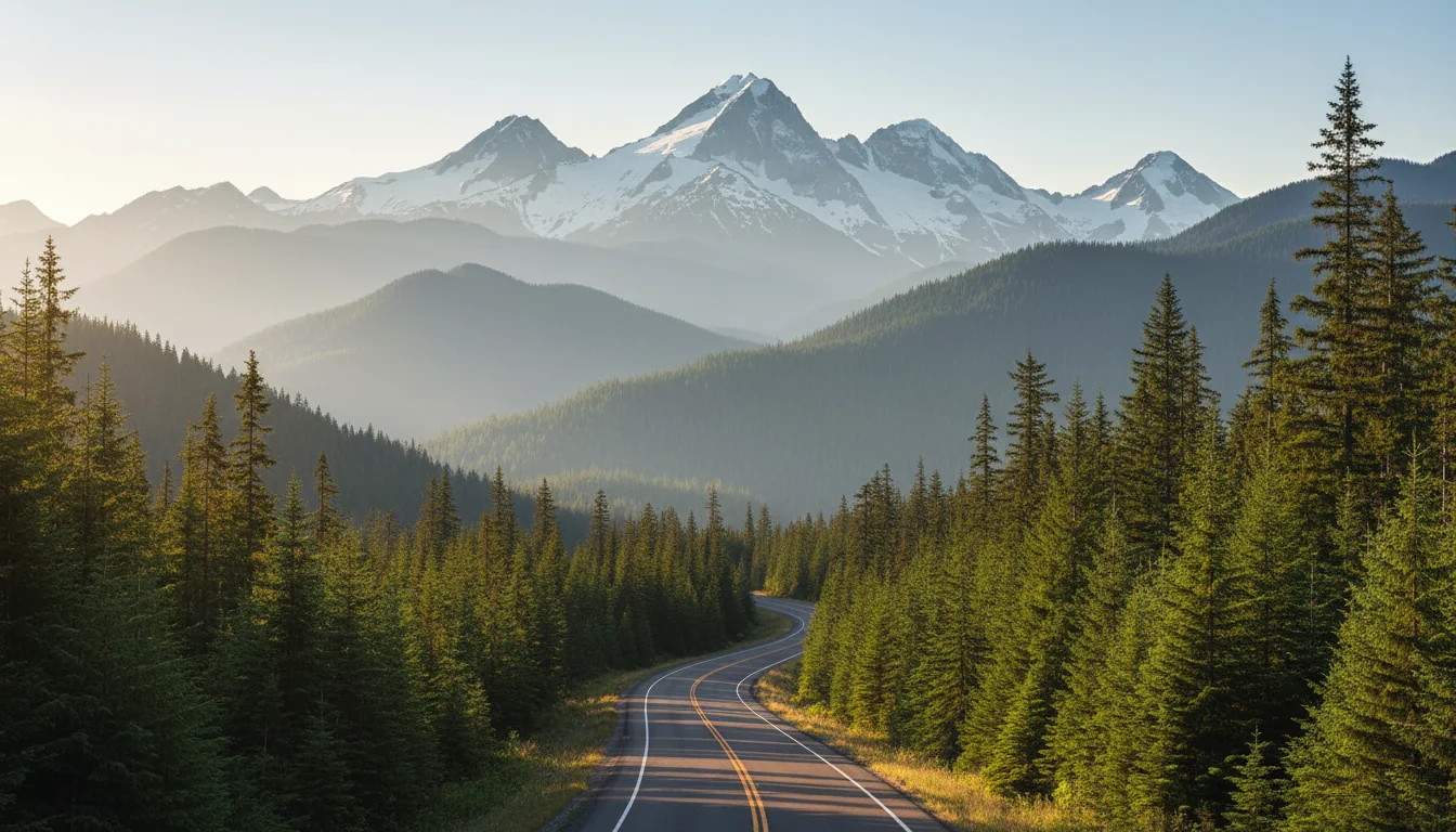
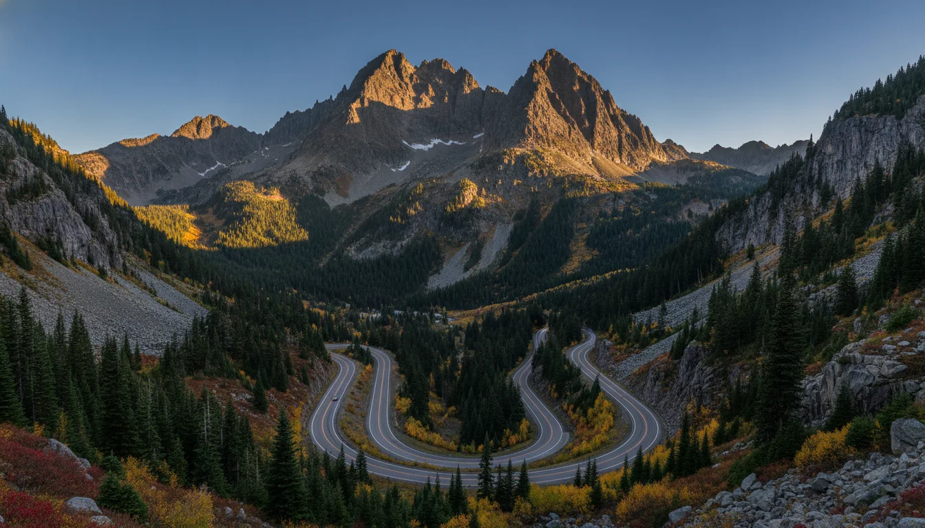
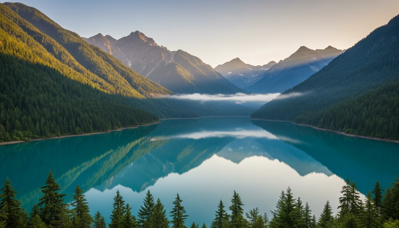
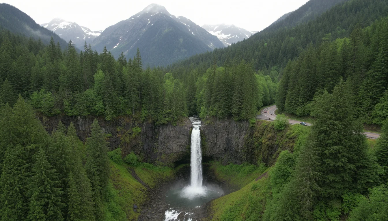
An overland rig on the North Cascades Highway with jagged glaciated peaks rising above a turquoise reservoir, SR 20 at golden hour, illustrative render in the series style
Trekkr Trail Journal · No. 016 · North Cascades

The North Cascades& the Cascade Loop, Washington — The Complete Field Guide

The 494-mile Cascade Loop crosses the wildest highway in Washington — and SR 20 over the passes is a seasonal road that closes every winter. In 2026 it didn't fully reopen until June 14, tying 1974 for the latest opening on record, which broke the whole first half of the summer. This is a short-season loop with a 75-mile fuel gap, three passes that aren't interchangeable, and a park having a genuinely rough year. This issue is about getting the timing right.

Washington · USA Newhalem · Winthrop · Twisp · Chelan SR 20 / North Cascades Highway First issue over the line into Washington
494 miOfficial Cascade Loop total — not the ~440 you'll see
Jun 142026 full reopening — tied 1974 for latest on record
~75 miNo fuel, no food, Marblemount to Mazama
3Land agencies, three passes, not interchangeable
Conditions verified 18 July 2026 · A seasonal highway, a flooded valley, a smoke season · This block goes stale — the links don't

An open-but-fragile highway, a closed campground, a flooded lake town, and a fire season warming up

The rest of this journal is evergreen; this box is not. Everything below is dated to the day we checked it, and the most perishable items on this loop — the SR 20 status, park closures, wildfire smoke, campground dates — change faster than any printed guide. Each item gives you the live source as well as the snapshot. Trust the procedure, not our date stamp.

  • SR 20 is OPEN — but it fully reopened only on 14 June 2026, the latest since 1974NPS lists State Route 20 as OPEN (as of 6/14), noting "There may be WSDOT closures at any time." December 2025 washouts near milepost 145 and a 17 March 2026 rockslide near Diablo Lake (milepost 131) wrecked the roadbed; the eastern portion reopened 30 April and the western section not until Sunday 14 June — which ties 1974 for the latest opening since records began in 1972. It is open now, and WSDOT can close it again on weather at any time. Watch the WSDOT Real Time Map and SR 20 alert page, not any date printed here (§02).
  • Gorge Lake Campground is CLOSED — "until further notice"Closed "due to debris flow and flooding hazards following the 2023 Sourdough Fire," with no reopening date announced. This directly contradicts older guides that list Gorge Lake as an open, free lakeside campground. It had one; it does not now (§12).
  • Stehekin flooded in December 2025 — the lodge is shut for all of summer 2026An atmospheric river caused Stehekin's second-largest flooding on record and destroyed the wastewater treatment facility at Stehekin Landing. North Cascades Lodge at Stehekin will remain closed the entire 2026 summer season, with no timeline for repairs. Stehekin is roadless — boat, floatplane or foot only — and with the wastewater plant down you should check with the NPS before routing anyone there (§14).
  • Backcountry & a paving question: several camps closed, Rainy Pass larch access unconfirmedFrom the September 2025 Perry Fire, Stetattle Creek and Little Beaver trails and the Whatcom, Perry Creek, Sourdough Mountain, Hooter and Gorge Lake camps remain closed. Cascade River Road (to Cascade Pass) is reported partially closed for 2026 — extent unconfirmed. And a Forest Service trailhead-paving project closed the Rainy Pass lots (Maple Pass, Rainy Lake, Lake Ann) in fall 2025; whether it recurs in 2026 is unconfirmed and hits the three most famous larch trails (§06). Re-check before larch season.
  • Smoke: August is peak wildfire-smoke season, and the Methow is "ground zero"Wildfire season on this ground "typically runs July through September," and the Methow Valley is described as ground zero for smoke — inversions and regional transport funnel smoke down the drainages. A valley can be smoked-in with no fire nearby. Check air quality daily, carry N95s, and have a bail-out plan (§17).
  • Confirm every campground fee, date and site count the week you bookThe Forest Service pages were blocked to the researcher and recreation.gov renders live; site counts and RV lengths in this guide carry the discrepancies we found and are flagged. The NPS drive-in campgrounds run roughly 18 May – 6 September 2026; the Methow first-come campgrounds take no reservations at all. Verify each on recreation.gov / parks.wa.gov before you rely on it (§11–§13).
Live sources · NPS — North Cascades road conditions · WSDOT — SR 20 pass report · WSDOT — SR 20 alerts · NPS — fire & road closures · AirNow Fire & Smoke Map · Washington Smoke Blog
Report a wildfire in Washington 800-562-6010 · Methow Valley Ranger District 509-996-4000 · in an emergency, 911. This box was true at press and will not stay true — the sources above are the truth on the day you travel.
01 / START HERE

One loop, one season

The Cascade Loop is a 494-mile (797 km) circuit — the operator's own figure, not the ~440 miles many write-ups repeat — that strings together three designated scenic byways: the Stevens Pass Greenway, the North Cascades Highway and the Whidbey Scenic Isle Way. Its crux is SR 20, the North Cascades Highway, and the single most important thing to understand before you plan anything is that SR 20 over Rainy and Washington Passes is a seasonal road. WSDOT closes it every winter for avalanche danger and does not plow it. You can only drive the loop as an actual loop roughly May through November.

This is our first issue over the line into Washington, and where our British Columbia guides turned on a rulebook, this one turns on a calendar. 2026 was a bad year for the corridor: winter storms and a spring rockslide destroyed sections of the roadbed, and the highway did not fully reopen until 14 June — tying the latest opening in its recorded history. The park it runs through is also having a rough season: Gorge Lake Campground is closed, Stehekin flooded and its lodge is shut, and several backcountry camps remain closed from a 2025 fire. None of that makes the loop a bad trip. It makes it a trip you time carefully, and check the day you leave.

How to use this journal Read §02 and §03 first — the seasonal highway and the loop's real distances, because they govern whether your dates even work. Then go where your trip lives. Driving the byway? §04 for the scenic stops, §08 for rig suitability. Hiking? §05 for the marquee trails, §06 and §07 for larch season. Buying passes? §09 — three agencies, three passes. Camping? §11 through §14. Travelling in August? §17, on smoke, is the one that matters. Everywhere in this issue, where our sources were blocked, undated, contradictory or simply silent, this guide says so out loud and prints no number. The Forest Service website was unreachable throughout the research, so a great many campground and permit figures here are secondary-sourced — and we tell you exactly which. §22 consolidates every gap.
The land, and the dams that built the road The North Cascades corridor exists because of the Skagit River Hydroelectric Project: Diablo Lake, Gorge Lake and Ross Lake are reservoirs behind the Gorge, Diablo and Ross dams, built and run by Seattle City Light. The turquoise water that draws every photographer to the Diablo Lake Overlook is a by-product of that engineering and of glacial flour ground from the peaks above. This is also active grizzly-restoration country on paper — a federal decision to translocate bears, and a separate First Nations effort — though, as §07 explains plainly, no grizzlies have been released and an encounter today is effectively nil.
02 / THE HIGHWAY

SR 20 is a seasonal road — plan around it

This is the planning fact the whole trip hangs on. The North Cascades Highway closes every winter and does not plow, it reopened brutally late in 2026, and the next winter's closure date has not been announced. Everything else is timing.

A ribbon of two-lane highway climbing through granite spires and larch-dotted slopes toward a high pass, the North Cascades Highway, illustrative render in the series style
The North Cascades Highway. Open roughly May to November, closed and unplowed the rest of the year — the loop cannot be driven over the top in winter.
The seasonal closure — the durable fact, not the 2026 drama SR 20 over Rainy Pass and Washington Pass (5,477 ft) is a seasonal highway that WSDOT closes every winter for avalanche danger and does not plow. NPS puts it plainly: "The highway typically closes in late November/early December due to snow and avalanches, reopening in April or early May." The closed segment runs between the Ross Dam trailhead (MP 134) and the Silver Star gate (MP 171), with gates moving to lower elevations as snow deepens. In winter you can reach Newhalem/Diablo from the west and Winthrop/Twisp from the east — but you cannot connect them over the top. Out of season, the loop routes the long way via I-90 and Wenatchee.

What actually happened in 2026

Not a normal year. SR 20 closed for the season Thursday 4 December 2025 at 6 p.m. Then December washouts near milepost 145 sent water across and beneath the highway, and a 17 March 2026 rockslide near milepost 131 (Diablo Lake) dropped a slope about 200 ft wide, requiring roughly 4,000 cubic yards of material to be removed. In places crews "had to rebuild the roadway from the ground up" — more than 1,000 ft of undermined roadway restored across a 6-mile repair zone (MP 142–148).

Reopening came in stages: the eastern portion at 2 p.m. on 30 April (east to MP 156.8 at Porcupine Creek), and the western section not until Sunday 14 June. WSDOT: "The June 14 opening matches 1974 for the latest opening of the scenic seasonal highway since we began keeping records in 1972."

The record book, for the seasonality box

From WSDOT's mountain-pass record, series running 1972–2026:

  • Earliest opening: 10 March (2005)
  • Latest opening: 14 June — 1974, matched in 2026
  • Earliest closing: 17 October (2003)
  • Latest closing: 3 January (1990)
  • Recent pattern: 2025 opened 22 Apr / closed 4 Dec · 2024 opened 19 Apr / closed 18 Nov · 2023 opened 11 May / closed 30 Nov
Do NOT print a winter 2026–27 closure date

As of 18 July 2026 the highway is open and WSDOT had not announced the next winter closure. Historically it closes in November most years; the 4 December 2025 closing was on the later side. Point yourself at the WSDOT mountain-pass page and the SR 20 real-time alerts, not a fixed date — this whole story rots fast, and only the pattern (closes ~Nov, opens ~Apr/May) is durable.

The 60-second highway check — do this the morning you leave
  1. Open the WSDOT SR 20 pass report and real-time alerts, plus the NPS road-conditions page. Look for closures first, delays second — WSDOT closes SR 20 "at any time" on weather even mid-season.
  2. If you're travelling the shoulder months, treat snow and avalanche control as live possibilities at the passes — Washington Pass is 5,477 ft, with frost well into June and again in September.
  3. Check whether the Winthrop → Newhalem leg (73 mi over two passes) is your day's crux — it's slow mountain driving, not a highway-speed hop, and it has no fuel (§10).

We deliberately print no camera URLs and no "usual" closure frequency — WSDOT's tools are live and the frequency isn't published. The point is the procedure, not a number that ages badly.

03 / THE LOOP

The real distances, and the passes on them

Use the operator's own numbers. The total is 494 miles, not 440, and the byway segment over the top is 140 miles. There is no official per-segment drive-time chart — so we print none, and flag the one leg you must not estimate at highway speed.

SegmentDistanceCharacterWhat it demands
Winthrop → Newhalem 73 mi The crux — over Washington & Rainy Passes Slow mountain driving. No fuel, little cell signal. Do not estimate at highway speed
Newhalem → Burlington 60 mi West side, down the Skagit Easy. Last/first services cluster near Marblemount (§10)
Pateros → Winthrop 42 mi Up the Methow Valley Gateway towns; smoke-prone July–September
Sultan → Stevens Pass 42 mi US 2, the loop's south side Stevens Pass, 4,061 ft — the alternate when SR 20 is shut
Full Cascade Loop 494 mi / 797 km Three scenic byways, one circuit A multi-day trip; the North Cascades Highway byway alone is 140 mi (Twisp ⇄ Sedro-Woolley)

Source honesty: distances above are from the Cascade Loop operator's own driving-distances table, which is the authoritative figure — use 494 miles, not the ~440 that secondary write-ups repeat. That table gives no drive times, and we could find no official per-segment time chart, so none are printed here. The Winthrop → Newhalem leg in particular is 73 miles of pass driving and must not be timed at highway speed.

The passes, by elevation

  • Washington Pass — 5,477 ft, the highest point on SR 20 and the single most dramatic pullout on the corridor
  • Stevens Pass — 4,061 ft (US 2), the loop's south side and the winter detour route when SR 20 is closed
  • Rainy Pass — commonly cited ~4,855 ft ⚠️ We could not verify this against a primary source, so treat it as approximate — the number matters far less than the fact that it is snowbound and closed all winter

The three scenic byways

The loop is officially made of three designated byways: the Stevens Pass Greenway (US 2 south side), the North Cascades Highway (SR 20 over the top), and the Whidbey Scenic Isle Way (the island west end). The North Cascades Highway byway segment is 140 miles, running Twisp in the Methow to Sedro-Woolley in the Skagit. When SR 20 is closed for the winter, the Greenway over Stevens Pass is how the two ends of the state stay connected — but that's a bypass around the mountains, not a way over them.

04 / THE SCENIC DRIVE

The stops along SR 20, west to east

Mileposts are the orientation tool on this highway. Two of the four headline stops have firm NPS mileposts; two are secondary and approximate, and we say which. All of them are free — North Cascades charges no entrance fee.

Sheer granite spires of Liberty Bell Mountain rising above a highway hairpin with golden larch on the aprons below, Washington Pass Overlook, illustrative render in the series style
Washington Pass Overlook, ~Mile 162. A 0.2-mile loop to a view perched ~700 ft above the highway, with the easiest-won larch colour in the state on the slopes below Liberty Bell.
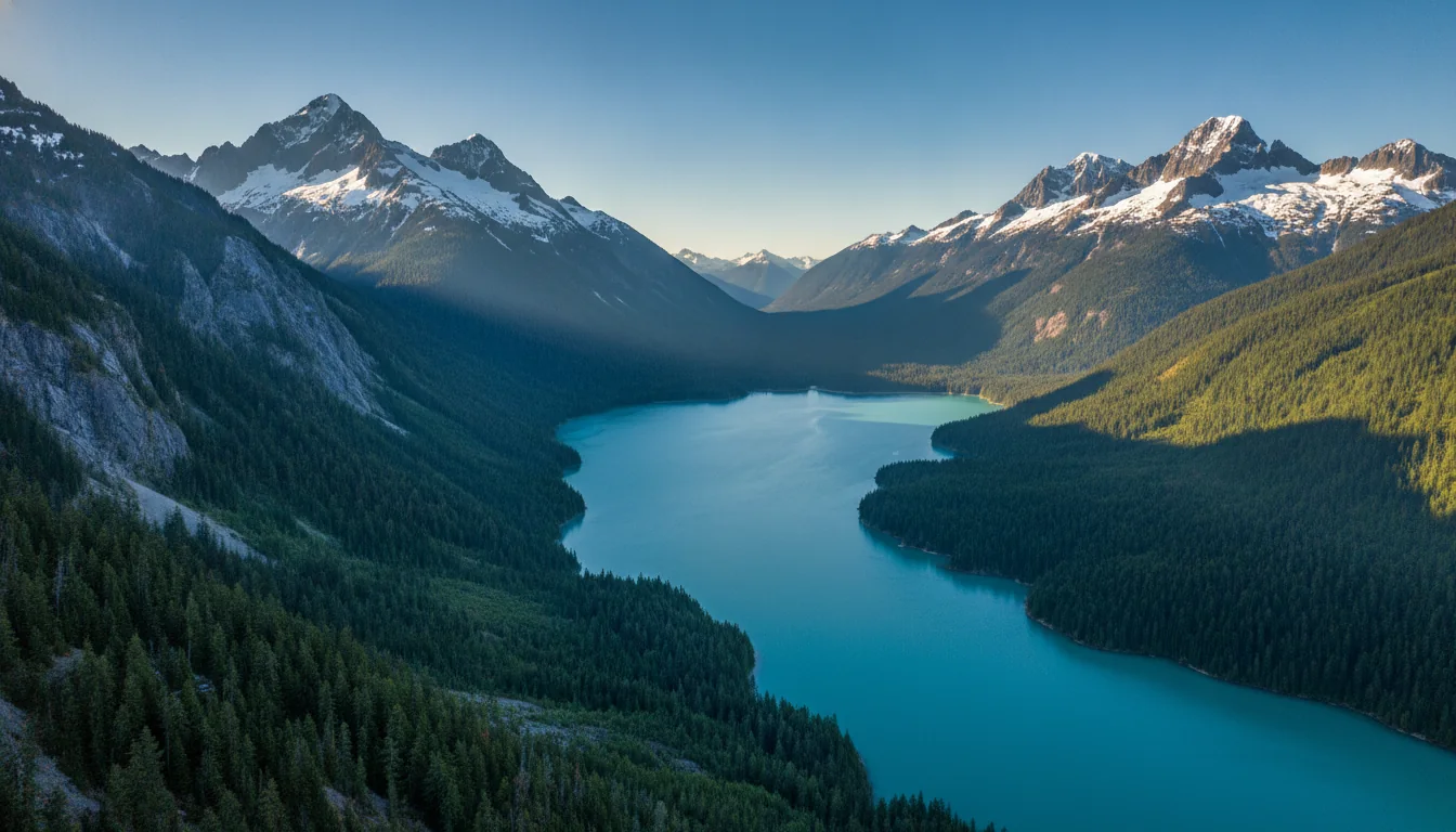
A vivid turquoise reservoir ringed by dark forested ridges and glaciated peaks seen from a highway overlook, Diablo Lake, illustrative render in the series style

Diablo Lake Overlook — Mile 131.7

The signature turquoise viewpoint, and the one most people come for. The colour is glacial flour — suspended fine rock particles that refract sunlight — most vivid July–September on sunny days at peak melt. Views of Diablo Dam and the surrounding peaks. Facilities: auto and bus/RV parking, picnic tables, a vault/composting toilet and trash. Milepost is firm from NPS.

A tall thin waterfall dropping through mossy forest beside a highway bridge, Gorge Creek Falls, illustrative render in the series style

Gorge Creek Falls — Mile 123.4

A 242-foot waterfall, one of the most accessible in the range. The first 0.3 mi of paved path is wheelchair accessible; an additional 0.5 mi unpaved trail loops through forest back to the lot. Facilities: auto and bus/RV parking, vault toilet, trash. Year-round flow, peaking with spring/early-summer snowmelt. Milepost is firm from NPS; it sits about 2 mi east of Newhalem.

Washington Pass Overlook — ~Mile 162, elev. 5,477 ft

The single most dramatic pullout on the corridor: Liberty Bell Mountain and the Early Winters Spires rising straight above the road. A 0.2-mile loop trail crosses Golden Horn granite to an overlook perched ~700 ft above the highway, designated a National Recreation Trail in 1978. In autumn the aprons below Liberty Bell fill with golden larch — some of the easiest-won autumn colour in the state, no hike required. ⚠️ The ~162 milepost is secondary/derived — verify before printing a milepost table.

Ross Lake Overlook — ~Mile 135

A quick roadside pullout with views over Ross Lake, the largest of the Skagit reservoirs. Honestly described as less dramatic than Diablo"more of a roadside pullout." ⚠️ This one is secondary-sourced: we found no dedicated NPS "places" page for the overlook, so treat MP 135 as approximate. It's a two-minute stop, not a destination — Diablo (§above) is the turquoise photo you're picturing.

Milepost honesty: NPS mileposts are firm only for Gorge Creek Falls (123.4) and Diablo Lake Overlook (131.7). Ross Lake (~135) and Washington Pass (~162) are secondary/derived and should be verified before any milepost table is printed. All these stops sit inside the North Cascades complex, which charges no entrance fee — the cost of this drive is fuel and time, not admission.

05 / THE MARQUEE TRAILS

The hikes — and the access roads that gate them

All figures below are from NPS or the Washington Trails Association. On this corridor the access-road caution matters as much as the trail stats: the classic hike is guarded by 23 miles of gravel, and the famous larch trails share one paving question (§06).

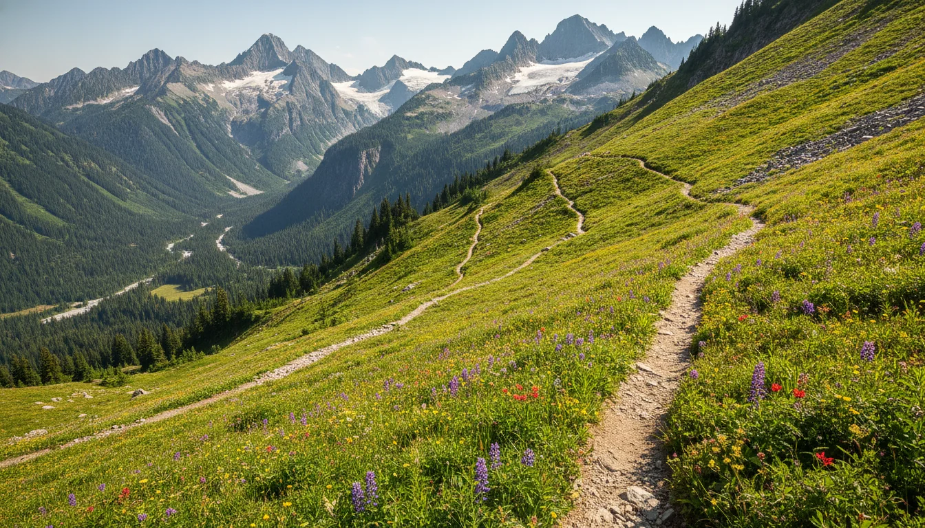
A broad alpine pass beneath jagged glaciated peaks with a switchbacking trail climbing meadow slopes, Cascade Pass, illustrative render in the series style
Cascade Pass & Sahale Arm. The classic of the range — and the catch is the road, 23.1 miles of Cascade River Road that bans rigs over 22 ft and opens only at the end of June.
TrailDistance & gainHigh point / ratingAccess & the catch
Cascade Pass
NPS
3.7 mi one way / +1,700 ft Moderate Cascade River Rd from Marblemount, 23.1 mi. Paved ~10 mi, then gravel/potholes/washboard. Vehicles over 22 ft prohibited. Opens to the lot end-June, sometimes early July
Sahale Glacier
via Sahale Arm
5.9 mi one way / +3,940 ft Strenuous Same road as Cascade Pass. The big-day extension above the pass
Heather–Maple Pass Loop
WTA · the larch showcase
7.2 mi loop / +2,020 ft High point 6,650 ft Rainy Pass on SR 20 (~50 mi E of Marblemount). NP Pass or NW Forest Pass. ⚠️ Rainy Pass lots were closed for paving in fall 2025 — 2026 status unconfirmed (§06)
Blue Lake
WTA · the easy larch hike
4.4 mi round trip / +1,050 ft Lake at 6,254 ft SR 20, just under a mile past Washington Pass Overlook. NP or NW Forest Pass. One of the easiest larch viewpoints in the state
Cutthroat Pass
WTA · via Cutthroat Lake
11.4 mi round trip / +2,300 ft High point 6,800 ft Side road off SR 20 E of Washington Pass. Meets the Pacific Crest Trail. The FS alternate lot during the Rainy Pass paving closure
Thornton Lakes
NPS · quieter, rougher
10.4 mi round trip / +2,300 ft Strenuous SR 20 MP 117, then Thornton Lake Rd 5 mi — rough, high-clearance recommended, not for low-clearance or trailers

Cascade Pass — the classic, and its 23-mile gatekeeper

The trail itself is moderate: 3.7 miles and 1,700 ft to a broad alpine pass under the glaciers, with the Sahale Arm extension (5.9 mi / 3,940 ft) for a huge day. But the whole hike hinges on Cascade River Road, which leaves SR 20 at Marblemount and runs 23.1 miles (~1 hour) to the trailhead. NPS: paved about 10 miles, then gravel with potholes and washboard, not suitable for sedans or low-clearance vehicles, and vehicles over 22 ft are prohibited. It typically opens to the Cascade Pass lot by end of June, sometimes not until early July in heavy-snow years — and for 2026 it is reported partially closed, extent unconfirmed (§00). This is a hard no for big rigs.

The larch trio, and one honest safety line

Maple Pass, Blue Lake and Cutthroat Pass are three of the four most famous larch hikes on the loop, all off SR 20 near Rainy and Washington Passes. Blue Lake is the gentle one; Maple Pass is the showcase loop; Cutthroat reaches the PCT. All need a National Park Pass or Northwest Forest Pass. In larch season the shoulder parking at these lots backs up along the highway for over a mile — go early, go midweek.

⚠️ The Rainy Pass lots (Maple Pass, Rainy Lake, Lake Ann) were closed for a Forest Service paving project in fall 2025, with Cutthroat Lake Trailhead designated as the alternate. Whether that recurs in 2026 is the single most important larch-access question, and we could not confirm it — §06 has the detail.

Rainy Pass paving: 2026 unconfirmedNP or NW Forest Pass

Figures honesty: trail distances and gains above are from NPS or WTA. No published grade percentages or switchback counts exist for Cascade River Road or the SR 20 pass approaches — NPS and WSDOT give surface and length only, so we print no grade figure. For live trail status, use the NPS trail-conditions page; we have not enumerated every backcountry closure.

06 / THE LARCH ACCESS QUESTION

The Rainy Pass paving closure — check it before larch season

This is a headline precisely because it lands on the three most famous larch trails on the loop, in the exact weeks people travel for them. And it's the one thing in this guide we most need you to re-verify, because the Forest Service website was unreachable during our research.

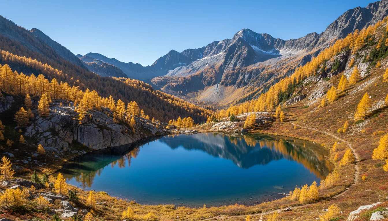
A high alpine loop trail circling a blue tarn beneath larch-gold ridges and rock spires, the Heather-Maple Pass Loop, illustrative render in the series style
The Heather–Maple Pass Loop. The larch showcase of the range — and its trailhead at Rainy Pass is the one under a paving question for 2026.
⚠️ Secondary-sourced — the FS page returned HTTP 403 to our researcher The Okanogan-Wenatchee National Forest announced temporary trailhead closures on the Methow Valley Ranger District near Washington and Rainy Passes, SR 20 mileposts 157–162, to repave parking lots and entry roads (funded through the 2020 Great American Outdoors Act). Affected: Rainy Lake Trail #310, the Heather–Maple Pass Trail #740, and Lake Ann Trail #740.1 — the release stated "no ADA or general access to these trails during paving." The designated alternate parking for overnight hikers was the Cutthroat Lake Trailhead (Cutthroat Lake Trail #483 to the PCT at Cutthroat Pass). The release and updates were dated August–September 2025, with chip-seal and striping delays extending closures. No 2026 recurrence or completion date could be confirmed.
Why this is a headline, and what to actually do A paving project that lands in late September or early October would gut larch access at Rainy Pass — Maple Pass, Rainy Lake and Lake Ann are the marquee trails of the season. As of our research we cannot confirm the 2026 status either way. Before you travel for larches: re-verify with the Forest Service and the Methow Valley Ranger District (509-996-4000), and have Cutthroat Pass and Blue Lake as fallbacks — Blue Lake sits at Washington Pass and was not named in the closure, and Cutthroat was the designated alternate. Do not build a larch trip solely around Maple Pass without checking that the lot is open.
07 / LARCH & WILDLIFE

Larch Madness, and the bears that aren't there yet

The gold-larch window is narrow, crowded and weather-exposed, and it collides with the highway's closure and the paving question. The grizzly story is topical and worth knowing — and the honest version is that there are no grizzlies on the ground.

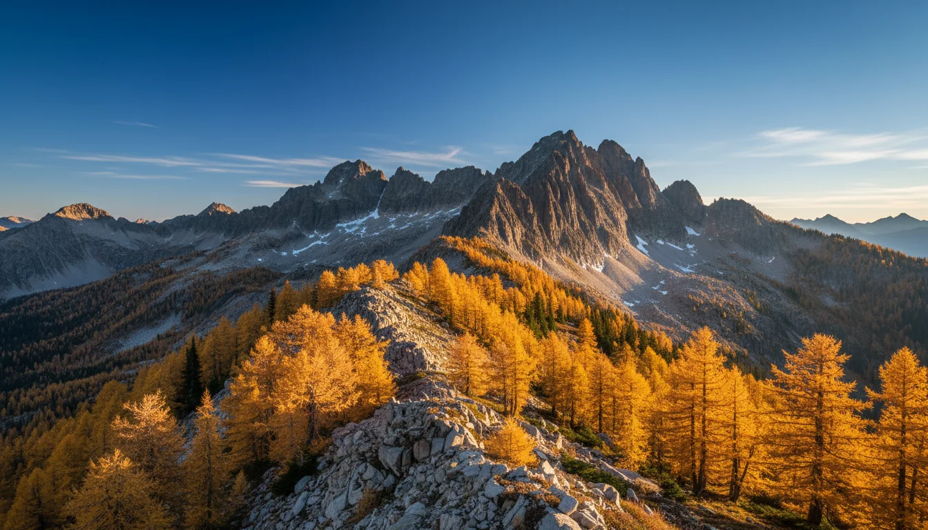
Golden subalpine larches glowing against dark evergreens and granite spires under a clear autumn sky, larch season in the North Cascades, illustrative render in the series style
Larch Madness. Late September into the first two weeks of October — a gold window that sits right against SR 20's seasonal closure and the Rainy Pass paving question.

Larch timing and where to see them

Lyall's/subalpine larches turn gold, then drop their needles — late September through the first two weeks of October, peaking roughly Sept 25 – Oct 10. Best viewing on the loop: Washington Pass Overlook (roadside, no hike), Blue Lake, the Heather–Maple Pass Loop, Cutthroat Pass, and the ridges above Cutthroat Lake.

The squeeze: larch peak sits right against SR 20's normal late-November closure window and against the Rainy Pass paving question (§06). It is a narrow, crowded, weather-exposed window — volunteers are posted at trailheads to manage crowds. Arrive early and go on a weekday, and remember peak dates shift a week or two year to year with the weather.

A black bear on a river bank with bald eagles perched in bare trees during a salmon run, North Cascades wildlife, illustrative render in the series style

Wildlife — and the autumn salmon draw

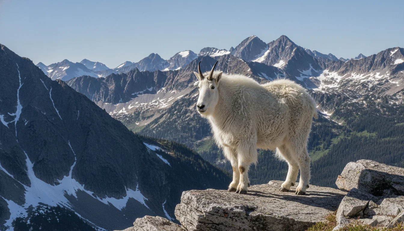
Black bears are common; mountain goats work the high cliffs and meadows; wolverine, lynx and gray wolf inhabit the remote backcountry. In autumn the Skagit River salmon run draws bald eagles and bears to the riverbanks near the park entrance — a genuine seasonal wildlife draw. Standard black-bear country rules apply: store food properly, keep a clean camp, carry and know how to use bear spray.

The grizzly-restoration story — topical, but no bears on the ground A federal decision by the NPS and USFWS aims to restore grizzlies to the North Cascades by translocation — roughly 3–7 bears a year for 5–10 years, targeting an initial population of 25. But no timeline is set and the federal effort stalled in 2025. A separate Okanagan Nation Alliance First Nations effort has aimed to begin in 2026, independent of the U.S. plan. For your trip: a grizzly encounter is effectively nil today — no bears have been released. The restoration is a good story to know, not a hazard to plan around; do not let anyone tell you grizzlies are already back.
08 / RIG & TRAILER SUITABILITY

The roads that matter for a loaded rig

SR 20's mainline is fine — paved, steep at the passes, slow. The trouble is the spur roads to the best trailheads. One bans rigs outright, one is washed out, and one is simply rough. Here's the honest verdict on each.

RoadSurfaceVerdict for a loaded rig / trailer
SR 20 mainline Paved Fine. Steep grades and hairpins at the passes; slow. Seasonal closure (§02)
Cascade River Road
to Cascade Pass
Paved ~10 mi, then gravel/potholes/washboard Vehicles over 22 ft prohibited (NPS). Gravel not suitable for sedans/low-clearance. Hard NO for big rigs; opens end-June/early-July, partial closure reported for 2026
Thornton Lake Road Rough/steep, deep washboard switchbacks High-clearance recommended; not for low-clearance or trailers. Not maintained in winter
Sibley Creek / Hidden Lake Road CLOSED — large washout ~2 mi up (NPS). Impassable
Rainy Pass / Blue Lake / Cutthroat trailheads Paved SR 20 pullouts + short spurs Accessible off the paved highway — but see §06 for the 2025 paving closure at Rainy Pass

Source: NPS North Cascades road-conditions page (last updated 3 July 2026). No published grade percentages or switchback counts exist for Cascade River Road or the SR 20 pass approaches — we state surface and length only, and print no grade figure we cannot stand up. RV-friendly camping is limited by these roads as much as by site size; §11–§13 flag where the length ceilings are real and where they're guesses.

09 / THE THREE PASSES

Three agencies, three passes, not interchangeable

The commonest visitor error here is assuming one pass covers the whole loop. It doesn't. Which pass you need depends on whose land you're standing on — and the good news is that the national park itself is free.

The mistake almost everyone makes A National Park pass, a Northwest Forest Pass and a Discover Pass are three different things for three different landowners. North Cascades National Park charges no entrance fee, so you need nothing simply to drive SR 20 or stop at the overlooks. But the day-use trailheads on the national forests want a Northwest Forest Pass, and Washington state lands want a Discover Pass. People buy the wrong one, or assume the park pass covers a forest trailhead. It doesn't.
Where you areWhat you needCost
North Cascades NP / Ross Lake NRA Nothing — no entrance fee. Camping & backcountry permits still apply Free to enter ✅
Okanogan-Wenatchee & Mt. Baker–Snoqualmie NF day-use fee sites (Maple Pass, Blue Lake, Cutthroat, etc.) Northwest Forest Pass, or America the Beautiful interagency $30/yr or $5/day · ATB $80/yr
Washington State Parks, DNR, WDFW lands (Lake Chelan SP) Discover Pass $45/yr or $10/day

North Cascades NP — no entrance fee

Unlike most big parks, there is no entrance-station toll here — the cost is camping and permits, not admission. ⚠️ We infer this from the absence of any entrance fee in NPS materials rather than a fees page that states it verbatim, so confirm the "no entrance fee" line on the NPS North Cascades fees page before relying on it. Either way, nothing stops you driving the highway and stopping at the overlooks for free.

Northwest Forest Pass — the trailhead pass

$30 annual, $5 day pass, covering day-use fee sites across the Okanogan-Wenatchee and Mt. Baker–Snoqualmie forests — which is what the marquee larch trailheads sit on. Available digitally via recreation.gov, and an America the Beautiful ($80 interagency) pass substitutes for it. ⚠️ The Forest Service pass pages were blocked to our researcher, so treat these figures as secondary-confirmed, not read off the agency page.

Discover Pass — Washington state lands

$45 annual, $10 one-day (transaction fees may apply) — a 2026 increase, the first since 2011. Covers State Parks, WDFW and DNR recreation lands, so it's the pass for Lake Chelan State Park day use. Not valid at Sno-Parks (Nov 1 – Mar 31, a separate permit), and not needed to park in the state park where you're camping overnight. Watch for the fee-inclusive online price.

10 / FUEL, SERVICES & THE 75-MILE GAP

Marblemount is the last gas — treat it as mandatory

The critical logistics fact of the whole loop: heading east, Marblemount is the last fuel for about 75 miles, and there's no sit-down food until Mazama on the far side. Fill up, and treat the pass crossing as a no-services stretch.

The gap, west to east

Marblemount is the last place to gas up heading east for about 75 miles, and the last sit-down meal until Mazama. There is a Shell station at 60070 SR 20, Marblemount (C-store, restrooms). Newhalem, 15 miles east, has the Skagit General Store with convenience-store food but no fuel to rely on. There are no services of any kind between Marblemount and Mazama — no gas, no food, and little to no cell signal (§17).

⚠️ The "75 miles" and "no services Marblemount → Mazama" figures are from travel guides, consistent across sources but not an agency number. Treat 75 mi as approximate — the instruction (fill up in Marblemount) doesn't change either way.

The east side — Mazama, Twisp, Winthrop, Chelan

  • Mazama Store, 50 Lost River Rd — 24-hour fueling, the closest fuel to Washington Pass and the first stop coming off the pass eastbound
  • Twisp — the everyday-needs town: groceries (Rosauer's, Glover Street Market), pharmacy, clinic, EV charging, laundry, showers. Hank's Mini Market has 24-hour fuel; Pardners Mini Market has gas and food to midnight
  • Winthrop — full gateway services: fuel, groceries, dining, lodging, and an Old West boardwalk main street
  • Chelan — full services at the south end of Lake Chelan
24-hr fuel: Mazama & Twisp (Hank's)Nothing over the pass itself
Dump stations & potable water The NPS drive-in campgrounds on SR 20 have no hookups and no dump stations listed on the camping page — plan water and waste around Marblemount, Chelan and the Methow towns. Known points: Lake Chelan State Park has a dump station ($5/use); Panorama Point at Baker Lake has drinking water. ⚠️ We found no NPS dump-station list for the North Cascades complex (unlike Olympic, which publishes one), so do not assume in-park dump availability — verify before you rely on it.
11 / NPS CAMPGROUNDS ON SR 20

The park's drive-in beds — dry, and one is closed

The National Park Service runs the drive-in campgrounds strung along SR 20, all reservable through recreation.gov. Every one is a dry campground — no hookups anywhere. One is closed outright, and the site counts and rig lengths carry discrepancies we're flagging rather than papering over.

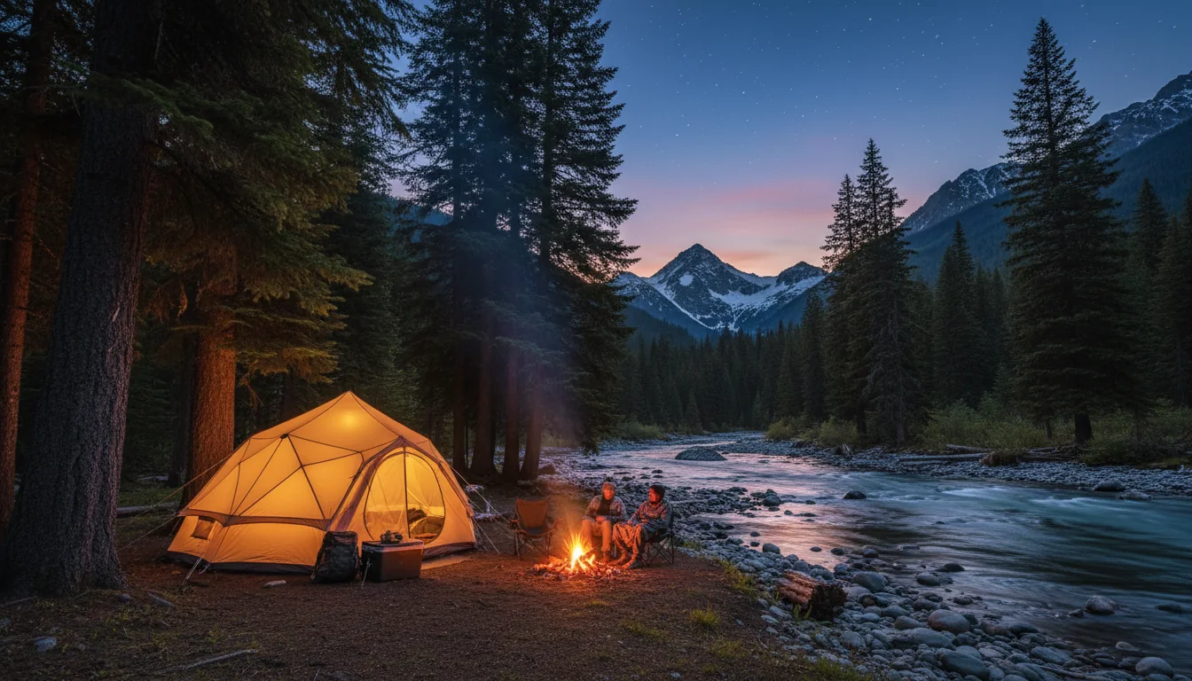
A camp among tall firs beside a glacial-green river with peaks beyond, evening light, a North Cascades campground, illustrative render in the series style
The corridor's beds. Dry NPS campgrounds on SR 20, first-come Forest Service sites in the Methow, and the loop's only real hookups down at Lake Chelan.
Gorge Lake Campground is CLOSED — do not route anyone there Gorge Lake is closed "until further notice due to debris flow and flooding hazards following the 2023 Sourdough Fire," with no reopening date announced. Older guides list it as an open, free lakeside campground — that is out of date. It had a campground; it does not now.
CampgroundSites & rigs2026 season / feeThe thing to know
Newhalem Creek 107 individual (loops A/B/C) + 2 group + 13 tent-only. Max 50 ft ⚠️ 18 May – 6 Sep 2026 · fee not confirmed ⚠️ No hookups, no showers. Near the NPS visitor center. Reserve A/C loops 6 mo out, B loop 7 days out
Colonial Creek South 93–96 ⚠️ (19 tent-only, 19 walk-in tent, 1 group) 18 May – 6 Sep 2026 · $24 "Most sites do not accommodate large trailers or RVs." 10 walk-in tent sites FCFS in shoulder
Colonial Creek North 37–41 ⚠️ 18 May – 6 Sep 2026, FCFS shoulder to mid/late Sep · $24 "Most sites do not accommodate large trailers or RVs." Reserve #1–35 6 mo out; #36–43 7 days out
Goodell Creek 19 individual. RVs/trailers up to 20 ft ⚠️ Peak 18 May – 6 Sep · $20 · FCFS Jan–late May & early Sep–Dec (year-round) The one with off-season first-come availability. Small rigs only
Lower Goodell Group 2 group sites (5 tent pads each; max 50 ppl / 20 vehicles) 18 May – 6 Sep 2026 · $75 Reserve. The group option on the west side
Gorge Lake CLOSED until further notice 2023 Sourdough Fire debris-flow hazard. No reopening date

Site counts and rig lengths — read this before you book

Do not print or plan on a single site number without checking recreation.gov the week you book. Colonial Creek North appears as both 41 and 37; Colonial Creek South as both 96 and 93. The live rec.gov pages are authoritative, and these campgrounds reconfigure sites year to year.

RV lengths are weaker still. Newhalem's "50 ft" comes from a search summary, not a page we read directly; Colonial Creek's "most sites do not accommodate large trailers or RVs" is verbatim NPS. Treat 30–35 ft as the realistic ceiling and verify per-site.

Season and rules

NPS framing: the drive-in campgrounds run "mid-May to early September," opening the Monday before Memorial Day — which is 18 May in 2026. Camping limit is 14 days from July 1 through Labor Day.

There are no electrical, water or sewer hookups at any NPS drive-in campground here — these are dry campgrounds. If you need hookups, the loop's real answer is Lake Chelan State Park (§14), not the park itself. Fees above are per the recreation.gov pages where we could read them; Newhalem's fee we could not confirm and do not invent.

12 / THE METHOW FIRST-COME CAMPGROUNDS

The east-side classics — and they take no reservations

The Forest Service campgrounds along Early Winters Creek between Washington Pass and Winthrop are the loop's east-side beds. All three are first-come, first-served with no advance booking — a real planning constraint in August.

All first-come, first-served — no advance reservations Klipchuck, Lone Fir and Early Winters are first-come only. That's a genuine constraint in peak August: arrive early (weekday, morning) or have a backup. On-site payment is by QR code via the Recreation.gov mobile app, so bring a way to pay — and note cell is spotty here (§17). ⚠️ These figures are from search summaries of the FS/rec.gov pages; the FS site was blocked to our researcher, so verify season dates and RV max lengths on recreation.gov before you rely on them.
CampgroundSitesFeeNotes
Klipchuck 46 $20 single (+$10/extra vehicle) ~19 mi NW of Winthrop; tall timber on Early Winters Creek. Historically takes larger rigs — but confirm the length
Lone Fir 26 $12–20 On SR 20 along Early Winters Creek. Season cited as "late May through October 31" ⚠️
Early Winters 12 tent-only $8–15 Confluence of Early Winters Creek & the Methow River. Tent-only — not a rig option

⚠️ RV/trailer max lengths were not found for any of the three. Klipchuck (46 sites, tall timber) historically takes larger rigs; Early Winters is tent-only. Confirm before advising any big rig into these — the FS pages were blocked, so nothing here was read directly off the agency site.

13 / BAKER LAKE & LEAVENWORTH

The side-trip campgrounds off the loop

Two Forest Service clusters sit just off the main circuit — Baker Lake on the western approach, and the Icicle Creek campgrounds near Leavenworth on the south side. Neither is on SR 20 itself, and both were largely blocked to our research, so treat every figure as one to verify.

Baker Lake — off the western approach

A Mt. Baker–Snoqualmie NF cluster of developed campgrounds on the west side of Baker Lake, reached via Baker Lake Road from near Concrete — a side-trip off the loop's western approach, not on SR 20. All reservable via recreation.gov. Named sites include Horseshoe Cove (39 sites, boat ramp, swim beach), Panorama Point (9 sites, drinking water, vault toilets), Swift Creek, Shannon Creek, Park Creek, Bayview, plus Boulder Creek and Lower Sandy.

⚠️ Beyond Horseshoe Cove and Panorama Point, per-campground site counts, RV max lengths, 2026 season dates and fees could not be confirmed — the FS pages were blocked and rec.gov renders via JavaScript. Pull each from its recreation.gov page. These are dry campgrounds as a rule; verify.

Leavenworth / Icicle Creek — the south end

Along Icicle Road southwest of Leavenworth, on the loop's Stevens Pass side (Okanogan-Wenatchee NF):

  • Eightmile — 41 single + 4 double; ~60% reservable / 40% FCFS; $24 single / $48 double
  • Bridge Creek — 6 single (FCFS) + 1 reservable group; $24 single, $152 group
  • Johnny Creek — Upper + Lower, FCFS only; $24 single / $44 double
  • Icicle Group — one large group site (≤30 guests); reservable

⚠️ Season dates and RV lengths not confirmed — verify on recreation.gov. Figures are from search summaries of the FS/rec.gov pages, not read directly.

14 / ROSS LAKE, CHELAN & STEHEKIN

The water-access beds — hookups, a border, and a flood

Three of the loop's most distinctive places to stay are on the water: Hozomeen at the head of Ross Lake, reachable only from Canada; Lake Chelan State Park, the loop's one real hookup option; and Stehekin, roadless and hard-hit by the 2025 flood.

A long fjord-like reservoir stretching between steep forested mountains toward the Canadian border, Ross Lake, illustrative render in the series style
Ross Lake. Its northern campground, Hozomeen, has no road from the United States — the only vehicle access is a 39-mile gravel road from Hope, British Columbia.

Hozomeen — reached only from Canada

75 sites, all first-come, no reservations, no camping fee. The catch is access: the only vehicle route is from Canada, via the Silver-Skagit Road — a 39-mile gravel road leaving Highway 1 about 3 km west of Hope, BC (exit 168), where "washboards and potholes are common." There is no road to Hozomeen from the U.S. side. Open late May through October; boat ramps generally usable mid-June through September. ⚠️ This is an international border crossing — passport and CBSA/CBP rules apply.

Lake Chelan State Park — the loop's hookups

At the south end near Chelan, run by Washington State Parks (reserve via parks.wa.gov). 139 campsites, including 18 partial-hookup and 17 full-hookup — restrooms, hot showers, a dump station ($5/use), moorage ($12/night with a site reservation). Open March–November, reservable mid-April through end of September, up to 9 months ahead. One of the very few hookup options on the whole loop. ⚠️ Counts and dates are from a search summary; verify 2026 nightly fees on the reservation system.

Ross & Diablo boat-in

Boat-in and paddle-in sites on Ross Lake are managed by NPS. Ross Lake Resort runs a canoe/kayak portage service between Diablo and Ross Lake, 11 June – 31 October 2026. ⚠️ Boat-in site counts, permits and fees were not researched in detail — we flagged the drive-in and gateway campgrounds as the priority. If a paddle trip is your plan, start with the NPS and Ross Lake Resort directly.

Stehekin — heavily impacted for 2026, check before you route there Stehekin, at the north end of Lake Chelan, is roadless — accessible only by boat (the Lady of the Lake), floatplane or on foot. In December 2025 it experienced "its second-largest flooding on record due to an atmospheric river," which destroyed the wastewater treatment facility at Stehekin Landing. As a result, the North Cascades Lodge at Stehekin will remain closed for the entire 2026 summer season, with no timeline for a temporary or full repair of waste management. ⚠️ The valley's backcountry and campground status for 2026 was not individually verified — with the wastewater plant down, check the NPS before routing anyone to Stehekin.
15 / WINTHROP, THE METHOW & THE ENCHANTMENTS

The east side, and the south side's lottery

Winthrop is the loop's east gateway and an Old West boardwalk town; the Methow above it is larch and lookout country. Off the loop's southern side sit the Enchantments — a permit lottery worth understanding, and one safety flag worth taking seriously.

An Old West style boardwalk main street with false-front buildings below dry pine ridges, Winthrop in the Methow Valley, illustrative render in the series style
Winthrop. The loop's east gateway — full services, an Old West main street, and the base for the Methow's larch and lookout hikes.

Winthrop & the Methow trails

Winthrop is the east-side gateway: fuel, groceries, dining and lodging, with the Old West boardwalk as its calling card. Above it:

  • Goat Peak Lookout ⚠️ — ~5 mi round trip to a historic (occasionally staffed) fire lookout, steep final 2.5 mi, with big Methow Valley and Silver Star Mountain views
  • Cutthroat Pass / Cutthroat Lake — the Methow-side larch classic (§05); the upper Twisp River Valley ridges are also cited for larch

⚠️ Methow trail figures are mostly secondary (WTA magazine + AllTrails) — the specific FS trailhead pages were blocked. Carry a map and confirm current status.

The Enchantments — the February lottery

On the loop's south side, off the Stevens Pass leg near Leavenworth. Overnight permits are required 15 May – 31 October, allocated by a lottery offered annually in February$6 non-refundable application fee, $5/person/day recreation fee, five zones (Core Enchantment, Snow Lake, Colchuck Lake, Stuart Lake, Eightmile/Caroline), max group size 8. ⚠️ The 2026 advanced-lottery window was reported as ~Feb 15 – Mar 1, results ~Mar 15 (secondary); Recreation.gov itself says only "annually in February" — verify exact dates there.

Day hikes (e.g. Colchuck Lake) need only a free self-issued day-use permit plus a Northwest Forest Pass, parking at the Stuart Lake Trailhead day-use lots. No lottery for day hiking.

Aasgard Pass is not a casual day hike The NPS/FS safety flag on Aasgard Pass is explicit: it is "not advised for hikers not prepared and equipped for steep snow travel." Deaths have occurred from glissading into snow-covered creeks. Do not present Aasgard as a casual way into the Core Enchantments — it is steep, exposed snow terrain for much of the season.
16 / NEWHALEM & THE SKAGIT DAMS

The company town and the reservoirs

The reason the highway exists at all is hydroelectric. Newhalem is the town inside the park complex, and the three turquoise lakes are Seattle City Light's reservoirs. It's the orientation hub for the western half of the drive.

Newhalem — the hub inside the park

Newhalem is the highway town inside the park complex, and the NPS North Cascades Visitor Center is here. Gorge Creek Falls (§04) sits about 2 miles east. The Skagit General Store in Newhalem has convenience-store food but no reliable fuel — Marblemount, 15 miles west, is your gas (§10).

Why the lakes are there

Diablo Lake, Gorge Lake and Ross Lake are all reservoirs of the Skagit River Hydroelectric Project, run by Seattle City Light — the Gorge, Diablo and Ross dams are why the corridor was built. That engineering is also why Diablo glows turquoise: glacial flour, suspended in dammed water.

⚠️ We did not research the 2026 Skagit Tours boat and dam-tour schedules — check Seattle City Light directly if a dam tour is on your list. The confirmed sightseeing stops are the scenic-drive overlooks in §04.

17 / WEATHER, SMOKE & SAFETY

The August story is smoke

The high passes bring late snow and cold nights. But for a summer trip, the safety story that matters is wildfire smoke — the Methow Valley is "ground zero," August is peak, and a valley can be choked with no fire anywhere near it.

Wildfire smoke — the real safety story for an August issue Wildfire season on this ground "typically runs July through September," so August is peak, and the Methow Valley is described as "ground zero" for wildfire-smoke consequences. Mountain topography, temperature inversions, and regional smoke transport "funnel smoke down mountain drainages and choke out local communities." The 2025 season put fire on this ground directly: the Perry Fire (lightning, September 2025, ~1,600 acres) closed several North Cascades NP trails and camps that remain shut in 2026. Check air quality daily in August, carry N95s, know that a valley can be smoked-in even when no fire is nearby, and have a bail-out plan.

Season realities at the passes

SR 20 is a summer-only through-route — realistically late April/May through November (§02). Outside that window you route the long way via I-90 and Wenatchee. The high passes bring late snow, cold nights and afternoon storms: Washington Pass is 5,477 ft, and you should expect frost well into June and again in September.

Smoke tools to keep bookmarked: the AirNow Fire and Smoke Map, the Washington Smoke Blog, and FireSmoke.ca. Check them the way you'd check a weather forecast in fire season.

Cell coverage — assume none over the pass

⚠️ Weak sourcing, flagged hard: we found no carrier coverage map or NPS page we could read for this corridor. From the services guides, coverage is absent over the pass (no towns for 75 miles) and spotty in the Methow, which has a documented history of communication gaps during disasters.

Plan for it: assume no service between Marblemount and Mazama, patchy service in Winthrop/Twisp/Chelan, and carry offline maps and a satellite messenger. We deliberately publish no carrier-by-carrier table — the sourcing doesn't support one.

No signal over the passSatellite messenger + offline maps
Closures & hazards active in 2026 Gorge Lake Campground — closed (Sourdough Fire debris flow, §11). Backcountry closed — Stetattle Creek and Little Beaver trails, and the Whatcom, Perry Creek, Sourdough Mountain, Hooter and Gorge Lake camps. Cascade River Road — partially closed in 2026 (⚠️ extent/mileposts unconfirmed; verify on NPS road conditions). Stehekin — flood-damaged, lodge closed all summer (§14). None of this is exotic for a big alpine park in a bad-fire, bad-flood year — but it means you check the NPS closures page the week you travel, not just the day you planned.
18 / THE KIT

What this loop specifically demands

Most of this is a normal Cascades loadout. What's different here is driven by four facts: the highway can close under you, there's no fuel or signal for 75 miles over the top, August is a smoke season, and the marquee trailheads are gated by rough gravel and a paving question.

Overhead flat lay of loop kit: a satellite communicator, N95 masks, bear spray, a paper map, tyre plug kit and a Northwest Forest Pass hangtag, illustrative render in the series style
The Cascade Loop loadout. A full tank, offline maps and an N95 do more for you here than any single piece of gear — the corridor's real hazards are distance from fuel, distance from signal, and smoke.

The passes & the paperwork

  • The right pass for the right land: NP is free, forest trailheads want a Northwest Forest Pass ($5/day or $30/yr), state lands want a Discover Pass ($10/day or $45/yr)
  • If the Enchantments are on your trip, the February lottery for overnight permits — day hikes need only a free self-issue + NW Forest Pass
  • Campground reservations on recreation.gov for the NPS drive-ins; the Methow campgrounds take none — plan to arrive early
  • A way to pay by QR via the Recreation.gov app at the first-come Methow sites
  • Lake Chelan State Park booked ahead if you want the loop's only real hookups

The drive

  • A full tank leaving Marblemount (or Mazama eastbound-to-westbound). ~75 mi with no fuel and no services over the top
  • WSDOT SR 20 status checked the morning you cross — it closes on weather at any time, and the winter closure ends the loop entirely
  • Offline maps + a satellite messenger — assume no signal Marblemount to Mazama
  • Good spare and a plug kit — Cascade River Road, Thornton Lake Road and the Methow spurs are gravel and rough
  • Know your rig's limits: Cascade River Road bans over 22 ft, and most NPS sites cap realistically at 30–35 ft
  • Shoulder-season: chains, warm layers, and the expectation of snow at the passes into June and from September

Smoke, camp & wildlife

  • N95 masks and a daily air-quality check in August — the Methow is smoke "ground zero," and a valley can choke with no fire nearby
  • Bear spray, and black-bear food-storage discipline — clean camp, stored food; the fall salmon run pulls bears to the riverbanks
  • Your own water — NPS drive-ins are dry (no hookups, no dump stations); Panorama Point and Lake Chelan SP are known water/dump points
  • A stove — the dry campgrounds have no hookups and fire restrictions are common in a smoke season; check the ban before you plan a fire
  • Warm sleeping kit for cold high nights even in summer
  • For Aasgard/steep snow: don't — unless you're equipped for steep snow travel and know the glissade hazard
19 / TRIP SHAPES

Four ways to run this loop

Built around the constraints rather than a wish list: whether SR 20 is even open, where the fuel and the hookups are, which campgrounds take no reservations, and the fact that larch season is a narrow window against a paving question. Each shape names what to book and what will ruin it.

Read this before you pick dates SR 20 is the whole trip. If the passes are closed, there is no loop — check the WSDOT mountain-pass page before you commit to dates, and remember 2026 didn't fully open until 14 June. For larch (late Sept – mid Oct), you're threading a needle between peak colour, the highway's normal late-November-but-weather-dependent closure, and the unresolved Rainy Pass paving question (§06). For an August trip, the risk is smoke, not snow — the Methow is worst. If your dates are flexible, July and early September avoid both the worst smoke and the larch crowds; larch weeks are the payoff trip but the least forgiving.
01

The scenic drive — two or three days

  1. Day 1 — the west side. Newhalem, the NPS visitor center, Gorge Creek Falls (MP 123.4) and the Diablo Lake Overlook (MP 131.7). Camp at Newhalem Creek or Colonial Creek (dry, reserve on rec.gov). Fill up in Marblemount first.
  2. Day 2 — over the top. Washington Pass Overlook and its 0.2-mi loop; the 73-mile Winthrop leg is slow, so budget for it. Fuel again at Mazama or Twisp.
  3. Day 3 — the Methow. Winthrop's boardwalk, then down the valley. Extend around the full 494-mile loop via Chelan and Stevens Pass if you've the days.
Check WSDOT SR 20 before you go No park entrance fee 75-mi fuel gap over the pass
02

The larch trip — the payoff, timed tight

  1. Re-verify Rainy Pass access first. Call the Methow Valley Ranger District (509-996-4000) — the paving closure could gut Maple Pass, Rainy Lake and Lake Ann (§06).
  2. Base east. Klipchuck or Lone Fir (first-come, arrive early), or Winthrop for services.
  3. The hikes: Blue Lake (4.4 mi) as the gentle one, Maple Pass (7.2 mi loop) if open, Cutthroat Pass as the alternate lot. Washington Pass Overlook for roadside gold, no hike.
  4. Go early, go midweek — larch parking backs up along the highway for over a mile, and volunteers manage the crowds.
NP or NW Forest Pass at the trailheads Peak ~Sept 25 – Oct 10, weather-dependent Watch the SR 20 closure window
03

The Cascade Pass big day

  1. Check Cascade River Road first — it opens end-June/early-July and was reported partially closed for 2026. No vehicle over 22 ft.
  2. Base at Marblemount / Goodell Creek and fuel up — this is your last gas.
  3. Day hike: Cascade Pass (3.7 mi / 1,700 ft), or the strenuous Sahale Arm to Sahale Glacier (5.9 mi / 3,940 ft) for a full day among the glaciers.
  4. Drive the 23.1-mile road slowly — it's gravel, potholed and narrow past mile 10, and not a sedan road.
NP or NW Forest Pass Over 22 ft prohibited on the access road 2026 partial closure — verify
04

The family week — hookups & easy stops

  1. Base at Lake Chelan State Park — the loop's real hookups (18 partial + 17 full), hot showers, dump station, a lake to swim in. Book up to 9 months ahead.
  2. Gorge Creek Falls (first 0.3 mi paved, wheelchair-accessible) and the Diablo Lake Overlook — two big payoffs, minimal walking.
  3. Washington Pass Overlook — a 0.2-mi loop to a huge view, larches in autumn, no real climb.
  4. Blue Lake (4.4 mi) as the one bigger hike, when everyone's up for it. Watch the smoke report in August and keep a bail-out day.
Lake Chelan SP — book early, Discover Pass day-use NPS drive-ins are dry — carry water Check air quality daily in Aug
A note on the shape we didn't write There is no deep-Stehekin or big-Enchantments-traverse itinerary in this issue, and that's deliberate. Stehekin is flood-damaged with its lodge shut all summer (§14), and the Enchantments Core zone is a competitive February lottery, not something you drop into on a road trip. Both are extraordinary; both need their own planning and their own confirmation with the managing agency. If either is your trip, §14 and §15 give you what's real — the access, the permit mechanics, and the honest statement of what's closed or unconfirmed for 2026.
20 / LOOP-READY

The departure check

Run it the night before. Tap each item as it's done — these are the twelve things specific to this loop that a general Cascades habit will skip.

0 / 12 confirmed — the highway is the whole trip.
21 / QUICK ANSWERS

Asked at every SR 20 overlook

Is the North Cascades Highway open, and when does it close?
SR 20 over Rainy and Washington Passes is a seasonal road that WSDOT closes every winter for avalanche danger and does not plow. It typically closes in November (the 2025 closure was 4 December) and reopens in April or early May. 2026 was abnormal: December washouts near milepost 145 and a 17 March rockslide near milepost 131 (Diablo Lake) wrecked the roadbed, so it did not fully reopen until Sunday 14 June 2026 — tying 1974 for the latest opening since records began in 1972 (the eastern portion had reopened 30 April). It is open now, but WSDOT can close it again on weather at any time, and the winter 2026–27 closure date has not been announced — do not plan around a fixed date. Watch the WSDOT mountain-pass and SR 20 alert pages. In winter you can reach Newhalem/Diablo from the west and Winthrop/Twisp from the east, but you cannot connect them over the top.
How long is the Cascade Loop?
The official total is 494 miles (797 km), per the operator's own driving-distances table — use that, not the ~440 miles many write-ups repeat. The North Cascades Highway scenic-byway segment alone is 140 miles (Twisp to Sedro-Woolley). The slowest single leg is Winthrop → Newhalem, 73 miles over Washington and Rainy Passes; that is mountain driving and should not be estimated at highway speed. The official table gives no drive times, so we print none. The loop can only be driven as an actual loop roughly May through November, while SR 20 is open.
Where's the last gas before crossing the pass?
Marblemount is the last gas heading east for about 75 miles, and the last sit-down meal until Mazama on the far side. There's a Shell station at 60070 SR 20 in Marblemount. Newhalem (15 mi east) has the Skagit General Store — convenience food, no fuel to rely on. There are no services between Marblemount and Mazama, and little to no cell signal. On the east side, the Mazama Store has 24-hour fuel and Twisp's Hank's Mini Market is 24-hour too, with full services. ⚠️ The 75-mile figure is a travel-guide number, consistent but not from an agency — treat it as approximate and fill up in Marblemount regardless.
Which pass do I need?
Three different land agencies mean three different passes that are not interchangeable. North Cascades National Park charges no entrance fee, so nothing is needed to drive SR 20 or stop at the overlooks (camping and backcountry permits still apply). Day-use fee trailheads on the national forests — Maple Pass, Blue Lake, Cutthroat and the like — need a Northwest Forest Pass ($30/yr or $5/day) or an America the Beautiful ($80/yr) pass. Washington state lands — Lake Chelan State Park, DNR, WDFW — need a Discover Pass ($45/yr or $10/day, a 2026 increase), which is not valid at Sno-Parks. ⚠️ The Forest Service pass pages were unreadable during research, so treat the Forest Pass figures as secondary and confirm before buying.
When is larch season, and will the trailheads be open?
Larch Madness runs late September through the first two weeks of October, peaking roughly Sept 25 – Oct 10. Best viewing: Washington Pass Overlook (roadside), Blue Lake, the Heather–Maple Pass Loop and Cutthroat Pass. The catch is a double squeeze: larch peak sits right against SR 20's seasonal-closure window and against an unresolved Rainy Pass trailhead paving project that closed the Maple Pass / Rainy Lake / Lake Ann lots in fall 2025, with 2026 status ⚠️ unconfirmed (Cutthroat Lake was the designated alternate). Re-verify Rainy Pass access with the Methow Valley Ranger District (509-996-4000) before you go, arrive early, and go on a weekday — parking backs up along the highway for over a mile.
Are Gorge Lake Campground and Stehekin open in 2026?
No. Gorge Lake Campground is closed until further notice due to debris-flow and flooding hazards following the 2023 Sourdough Fire, with no reopening date — this contradicts older guides that list it as an open, free lakeside campground. Stehekin, at the north end of Lake Chelan and reachable only by boat, floatplane or foot, suffered its second-largest flooding on record from a December 2025 atmospheric river; the flood destroyed the wastewater treatment facility at Stehekin Landing, and the North Cascades Lodge at Stehekin is closed for the entire 2026 summer season with no repair timeline. With the wastewater plant down, check with the NPS before routing anyone into Stehekin. Several backcountry camps also remain closed from the September 2025 Perry Fire.
22 / WHAT WE COULD NOT CONFIRM

The honest gaps, all in one place

Every guide has these. Most don't print them. This is the consolidated list of what we could not stand up, what we deliberately withheld, and which sources were blocked — because on a loop with a 75-mile fuel gap and no signal over the top, a confident wrong number costs more than an admitted gap.

Numbers we deliberately did NOT print — and why No winter 2026–27 SR 20 closure date — WSDOT had not announced one; the pattern (closes ~Nov, opens ~Apr/May) is durable, a specific date is not. No per-segment drive times — the official Cascade Loop distance table has none, and the Winthrop → Newhalem leg (73 mi of passes) must not be timed at highway speed. No Rainy Pass elevation as fact — commonly cited ~4,855 ft, but unverified against a primary source. No road grade percentages or switchback counts for Cascade River Road or the SR 20 pass approaches — NPS/WSDOT publish surface and length only. No single campground site count where the sources conflict — Colonial Creek North (37 vs 41) and South (93 vs 96) get ranges, not a false-precise figure. No confirmed RV max lengths for most campgrounds — Newhalem's "50 ft" and Goodell's "~20 ft" are ⚠️ search-summary figures; treat 30–35 ft as the realistic NPS ceiling and verify per-site. No carrier-by-carrier cell table — no coverage map was readable. No Newhalem Creek fee — not confirmed, so none is invented.
Why this section exists Anyone can write a guide that sounds certain. The hard part is knowing which of your numbers are real — and on this loop a surprising number aren't, because the Forest Service website was unreachable throughout our research, recreation.gov renders live, and the highway's own status changes on weather. The null is the product. If you're standing at Marblemount with a quarter tank and no signal ahead, "fill up here, it's 75 miles with nothing" is a usable instruction. A confident wrong number is not.
🔒

The printable field guide

Everything above, condensed into a print-ready PDF built for the glovebox — for a loop where the highway can close under you, the signal dies for 75 miles, and the best trailheads are gated by rough gravel and a paving question. The seasonal-highway planning fact, the three passes and which land needs which, the 75-mile fuel gap, the larch-season timing against the Rainy Pass closure, the campground counts with every discrepancy flagged, the August smoke plan, every phone number that matters, and the honest list of what nobody publishes — on paper that works where the signal doesn't.

The seasonal-highway fact Three passes, three agencies Camping, flagged & sourced The 75-mile fuel gap Larch timing & the paving question August smoke plan Departure check
Unlock the PDF — $4.95
$4.95 per guide · Instant access · Built by people who actually camp there
Trail Journal No. 016

Go farther. Camp lighter.
Leave it better.

Every Trekkr Trail Journal is built like this one: custom logistics, honest trail beta, the camping and access detail, kit lists and the local knowledge that turns a good trip into the one your crew talks about for years — including, always, a plain list of what we could not confirm. New destinations drop all season long; this is our first over the line into Washington.

Unlock the Trail Journal Library
↗ Read a recent issue — No. 011, Sea-to-Sky: Squamish · Whistler · Pemberton · Duffey Lake
$4.95 per guide · Instant access · Built by people who actually camp there