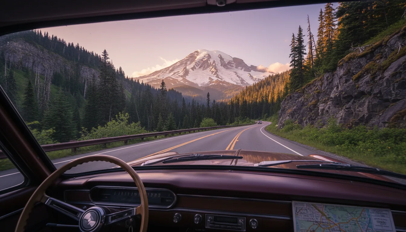
An overland rig on a park road below the glaciated bulk of Mount Rainier at golden hour, subalpine meadow in the foreground, illustrative render in the series style
Trekkr Trail Journal · No. 014 · Mount Rainier

Mount RainierParadise · Sunrise · Chinook Pass · Mount St. Helens — The Complete Field Guide

2026 flips almost everything a 2024 guide told you. There is no timed-entry reservation this year — but parking is the new gate. The Fairfax Bridge is permanently closed, deleting the whole northwest corner. Grove of the Patriarchs is closed. Johnston Ridge is closed all season. This issue is about planning around the real 2026, not the one the search results describe.

Washington · USA Paradise · Sunrise · Ohanapecosh · Windy Ridge Mount Rainier NP + Mount St. Helens Companion to No. 012 · Olympic Peninsula
NoneTimed-entry reservations, park-wide, in 2026
$307-day vehicle pass · cashless at the gate
6,400 ftSunrise — highest point you can drive to
637 inParadise average annual snowfall (53 ft)
Conditions verified 18 July 2026 · Five things that break a 2024 itinerary · This block goes stale — the links don't

No reservation to book, a corner of the park deleted, and two big viewpoints closed

The rest of this journal is evergreen; this box is not. Everything below is dated to the day we checked it, and the most perishable items here — the timed-entry decision, the road closures, the Mount St. Helens rebuild and the Ape Cave ticketing — change faster than any printed guide. Trust the live NPS and Recreation.gov sources linked at the bottom, not our date stamp.

  • No timed-entry reservation anywhere in the park in 2026 — parking is the bottleneck insteadPer the NPS release of 25 February 2026, the park "will not implement a timed entry reservation for any portion of the park in 2026." The 2024–25 Paradise/Sunrise pilot is cancelled; entry is first-come, first-served. But the lots at Paradise and Sunrise fill by mid-morning on clear summer days, and rangers hold or turn traffic when a lot is full. The NPS's own advice: arrive before 7 a.m. or after 4 p.m., and go on a weekday. This is a 2026-only fact — the park could bring timed entry back in 2027, so re-check before you travel.
  • SR 165 Fairfax Bridge is permanently closed — no Carbon River or Mowich Lake access at allThe 103-year-old bridge was closed permanently on 22 April 2025 after inspection found the support column "bent in two directions and starting to buckle." It was the sole public route to the Carbon River and Mowich Lake entrances, so the entire northwest corner of the park is unreachable by vehicle. There is no reopening date — WSDOT is running a multi-year NEPA review. Delete any Mowich or Carbon itinerary.
  • Grove of the Patriarchs is still closed — take it off the listClosed to all public entry since the November 2021 flood damaged its suspension bridge. Bridge replacement is "scheduled to begin summer 2027" and expected to take several years. Treat it as unavailable through at least 2027–28. Substitute old-growth: the Trail of the Shadows loop at Longmire, or the Ohanapecosh-area trails (confirm status first).
  • Johnston Ridge Observatory is closed for all of 2026 — Windy Ridge is the substituteSR 504 is severed by the May 2023 landslide; a gate stops traffic just past the Hummocks Trailhead. Bridge rebuild began 27 April 2026, "expected to be complete in fall 2026," and the observatory itself won't reopen until the Forest Service finishes restoration afterward — realistically spring 2027. The crater view now comes from Windy Ridge on the east side, but its best trails (Truman, Harry's Ridge) are weekend-only this season for tunnel construction (§09).
  • Chinook and Cayuse passes reopened 22 May 2026 — the east-side loop is openSR 410 (Chinook Pass) and SR 123 (Cayuse Pass) reopened by 8 a.m. Friday 22 May 2026, and Sunrise Road opened later (late June). Both passes close every winter, and tire chains are required for all vehicles 1 November – 1 May, regardless of 4WD. Ape Cave at Mount St. Helens needs a timed Recreation.gov ticket (§09).
Live sources · NPS Mount Rainier — road status · alerts & conditions · Mount St. Helens Institute — current conditions · Recreation.gov — Ape Cave · NPS wildflower status
Park information & recorded road line 360-569-2211 · in a life-threatening emergency, 911 — do not drive to a facility assuming it is open. This box was true at press and will not stay true — the sources above are the truth on the day you travel.
01 / START HERE

One mountain, four corners, and a 2026 that rewrote the map

Mount Rainier is a 14,410-foot stratovolcano wearing more glacier than any peak in the contiguous United States, and the park wraps it on every side with a different character: Paradise in the south for wildflower meadows, Sunrise in the northeast for the highest road and the biggest tundra, Ohanapecosh in the southeast for old growth, and the Chinook and Cayuse passes stitching the east side into a loop. But the single most important thing to understand before you plan is that 2026 is not 2024. The timed-entry reservation that dominated the last two years is gone; a corner of the park has been permanently severed; and two of the region's marquee viewpoints — the Grove of the Patriarchs and Johnston Ridge at Mount St. Helens — are simply closed.

This is the second Washington issue in the series, after No. 012 on the Olympic Peninsula, and like every Trekkr guide it is built around constraints rather than a wish list: where the roads actually go this year, what a pass covers, where the fuel is, and what the search engines still get wrong. Everywhere our sources were blocked, undated, contradictory or silent, this guide says so out loud and prints no number. The final section consolidates every one of those gaps — because on a mountain where the weather turns in minutes and the cell signal dies at the gate, a confident wrong number costs more than an admitted absence.

How to use this journal Read §02 and §03 first — the driving route and road status, then the passes, permits and fees in the order you need them. Then go where your trip lives. Wildflowers and day hikes? §05 (Paradise) and §06 (Sunrise), with the ranked objective table in §10. Waterfalls and easy stops? §07. A volcano-context loop to Mount St. Helens? §09. Camping and gateway towns? §11 and §13. And read §00 again on the day you leave — it is the only dated block on the page, and the one most likely to have moved.
The land, named first Mount Rainier — Tahoma / Təqʷuʔməʔ in the Lushootseed of the Coast Salish peoples — sits within the ancestral territories of the Puyallup, Nisqually, Muckleshoot, Squaxin Island, Cowlitz, Yakama and other Nations who have lived alongside the mountain since long before the park. The south-side approach to Mount Adams is managed with the Yakama Nation, and we flag in §09 that we did not research Mount Adams access to a publishable standard and print none. Names and stewardship come first here, not last.
02 / THE DRIVING ROUTE

Where the roads actually go in 2026

The park is a slow, narrow, 35-mph-most-of-the-way road system with one year-round entrance and a short-season high road. Two corners are gone this year. Treat the NPS drive times as a floor, not a target — construction and traffic only add to them.

A narrow paved park road winding through subalpine forest beneath a towering glaciated volcano, illustrative render in the series style
The interior corridor. Nisqually to Longmire to Paradise is the only road open year-round to Paradise — and even it may close at any time depending on weather.
SegmentDistanceNPS drive timeWhat to know
Longmire → Paradise 12 mi 0:25 Main paved climb to the wildflower hub at 5,400 ft. Lots fill by mid-morning
Paradise → Ohanapecosh 23 mi 0:45 Via Stevens Canyon Rd. 🔴 Tunnel height limit 12' 6" — matters for tall rigs
Ohanapecosh → White River Entrance 18 mi 0:30 Southeast to northeast, crossing to the Sunrise side
White River Entrance → Sunrise 13 mi 0:45 🔴 RVs/trailers over 25 ft "not recommended" beyond White River Campground (NPS)
Nisqually Entrance → Longmire ~6 mi (secondary) The NPS table starts at Longmire; Nisqually→Paradise works out to roughly 18–19 mi

Source honesty: distances and times are the NPS "Directions" table (page last updated 22 August 2025), which starts at Longmire — so the Nisqually→Longmire figure (~6 mi) is secondary, and NPS explicitly notes it "does not provide a direct Nisqually-to-Sunrise distance." The maximum speed limit is 35 mph in most of the park, roads are "winding with narrow shoulders," and "park construction may affect driving times" — treat every time above as a floor.

Road2026 statusRig verdict / notes
Nisqually → Longmire → ParadiseOPENMain paved corridor; Nisqually→Longmire is the only year-round road. "May close at any time depending on weather"
Stevens Canyon RoadOPEN🔴 Tunnel height limit 12' 6". Gates typically close mid-October, reopen early June
SR 410 / Chinook PassOPEN🔴 Commercial vehicles prohibited. Reopened 22 May 2026
SR 123 / Cayuse PassOPEN🔴 Commercial vehicles prohibited; tunnel height 13' 1". Reopened 22 May 2026
Sunrise RoadOPEN🔴 RVs/trailers over 25 ft not recommended beyond White River CG. Opens late June/early July, closes late Sept/early Oct
Westside RoadOPEN (limited)🔴 Active geohazard zone — park south of the Dry Creek barricade; foot/bike beyond
Mowich Lake RoadCLOSED🔴 No public access to Carbon River & Mowich Lake from SR 165 (Fairfax Bridge, §00)
Carbon River RoadCLOSED (permanent)🔴 Bridge permanently closed; no alternate route available
Chains for everyone, November 1 – May 1 — even in a 4x4 NPS road status is verbatim on this: tire chains must be carried by all vehicles from 1 November to 1 May, "regardless of vehicle type or weather conditions" — and that includes AWD and 4WD. In winter the Nisqually→Longmire segment stays open, but Longmire→Paradise is gated and closes nightly, opening in the morning only when weather and plowing allow. There is no fixed published open/close clock for that winter gate — it is condition-dependent, so use the recorded road line (360-569-2211) rather than a time you read somewhere.
Sunrise Road construction — reported, so check before you print a date A Fryingpan Creek Bridge replacement on the Sunrise Road is reported to run 2026 through 2029, one lane open, with 20–30 minute one-way-traffic delays. We flag this as secondary — we could not confirm the multi-year span or the delay figure on an NPS page, so verify it before you rely on it. Regardless of the exact dates, anyone heading to Sunrise this summer should budget extra time. And note the seasonal rhythm honestly: Sunrise is the last road to open and the first to close, opening late June/early July and closing late September/early October — a secondary report of a "May 21" Sunrise opening is inconsistent with that norm and likely conflated the lower Stevens Canyon Road, so we don't print it.
03 / PASSES, FEES & PERMITS

What to pay, what to book, and the tier that catches Canadians

Entry itself is simple — a $30 vehicle pass for seven days. The complications are the cashless gate, the new $250 non-resident America the Beautiful tier, and the separate quota systems for backcountry camping and climbing that have nothing to do with the cancelled day-use timed entry.

Two things people get wrong at the gate The vehicle pass is 7 consecutive days, not 3. A search summary quoting "$30 for 3 consecutive days" is wrong — the NPS fees page says seven days, no seasonal split. And the park is cashless at entrances and campgrounds. If you must pay cash, NPS says you can buy a "$30 single-vehicle entrance pass" at designated community locations near the entrances — so buy it in a gateway town first. NPS did not name the specific vendors on the page we read, so we don't publish a vendor list.

Entrance fees, 2026

  • Private vehicle — $30, valid 7 consecutive days
  • Motorcycle — $25 (up to 2 motorcycles / 4 people)
  • Individual on foot/bike, 16+ — $15; children under 16 free
  • Mount Rainier Annual Pass — $55, one year
  • 2026 fee-free days: Feb 16 · May 25 · June 14 · July 3–5 · Aug 25 · Sept 17 · Oct 27 · Nov 11

America the Beautiful — the two-tier trap

The federal annual pass is now split: $80 for residents, $250 for non-residents. 🔴 Canadian readers — this one's for you. For a single Rainier visit the $30 vehicle pass beats a $250 ATB every time; ATB only makes sense across a multi-park US road trip. Senior Annual is $20, Senior Lifetime $80, and Military and Access (permanent disability) passes are free.

$250 non-resident tier is new$30 vehicle beats it for one park
Where you areWhat you needCost
Entering the park by vehicle$30 vehicle pass (7 days), Mount Rainier Annual, or America the Beautiful$30 / $55 / $80 or $250
Backcountry overnightWilderness permit — required for all overnight backcountry camping$6 + $12/person/night, max 13 nights
Climbing above ~10,000 ft or on a glacierClimbing registration plus a wilderness permit to camp at Muir/Schurman$82/person + $12/person/night
Ape Cave (Mount St. Helens)Timed reservation via Recreation.gov, 1 per vehicle (§09)Small Rec.gov fee
The wilderness permit — a quota system, not the cancelled timed entry A wilderness permit is required for all overnight backcountry camping, and it is a completely separate thing from the day-use timed entry the park cancelled — don't conflate them. Reservations are encouraged but not mandatory: roughly two-thirds of summer permits are reservable in advance and about one-third are held for first-come walk-up. Cost is $6 (Recreation.gov fee) + $12 per person per night, up to 13 consecutive nights. Reservable dates run June 1 – October 10; the early-access lottery opens in February and general reservations open April 25. Reservations must be made at least two days in advance, and a no-show is cancelled at 12:00 pm on the day the trip begins.
Climbing to Camp Muir or the summit Anyone climbing above roughly 10,000 ft or onto a glacier — i.e. any Camp Muir summit attempt — needs Climbing Registration (Climbing Cost Recovery) at $82 per person. To camp at Camp Muir (10,188 ft) or Camp Schurman between 1 May and 15 Sept you also need a wilderness permit ($12/person/night), with a reservation recommended in peak season. Summer registration (22 May – 30 Sept) is walk-up 24 hours before your climb at a wilderness information station, or reserved in advance. Solo climbing requires special written authorization — roughly 200 apply each year and fewer than half are approved. NPS did not list a Muir-specific fee beyond the $82 registration plus the $12/night wilderness permit; that combination is the cost.
Adjacent land — passes we did not fully research If your route touches U.S. Forest Service trailheads (Gifford Pinchot or Okanogan-Wenatchee NF) you may need a Northwest Forest Pass or ATB, and Washington State Parks / DNR land uses the Discover Pass ($45/yr, $10/day). We did not research either to publishable depth for the specific 2026 route here — flag it and check before you park at a non-NPS trailhead.
04 / TIMED ENTRY & PARKING

No reservation to book — but a lot that fills by mid-morning

This is the headline that reverses two years of guides, and the most common way to get 2026 wrong is to plan around a reservation that no longer exists. The flip side is that the crowd didn't go anywhere. The gate is now a parking space, not a booking.

🔴 The single most important 2026 planning fact Mount Rainier will not require timed entry reservations for any portion of the park in 2026. The 2024–25 Paradise and Sunrise pilot is cancelled; entry is first-come, first-served. Any guide, blog or booking site telling you to reserve a Paradise or Sunrise entry slot for 2026 is out of date.

No reservation does not mean no crowds. The NPS's own advice is the single most actionable planning tip in this issue: arrive before 7 a.m. or after 4 p.m. at Paradise and Sunrise, and go on a weekday, not a weekend. When a lot is full, rangers hold or turn traffic regardless of the lack of a reservation system.

⚠️ This will rot. The park cancelled year-to-year and could bring timed entry back for 2027 — it has flip-flopped once already. State it as a 2026-only fact and check nps.gov/mora before you go.

When the Paradise lots fill — the honest version Secondary sources (not an NPS page) consistently report that the Paradise upper and lower lots fill by roughly 9 a.m. on summer weekends from late June to early September, and by about 8 a.m. on clear-weather July and August Saturdays. The pattern is well-attested; the exact times are secondary, so treat them as a strong guideline rather than a guarantee. The takeaway doesn't change with the exact minute: be in the lot early, or come mid-week, or plan an after-4 p.m. visit.
05 / PARADISE

The south side — meadows, the marquee loop, and late snow

Paradise at 5,400 ft is the park's busiest hub and its wildflower heart. The Skyline Trail is the marquee day, but the snow lingers here far later than visitors expect — even mid-July can mean an icy slope that doesn't melt. Match the hike to the conditions, not the calendar.

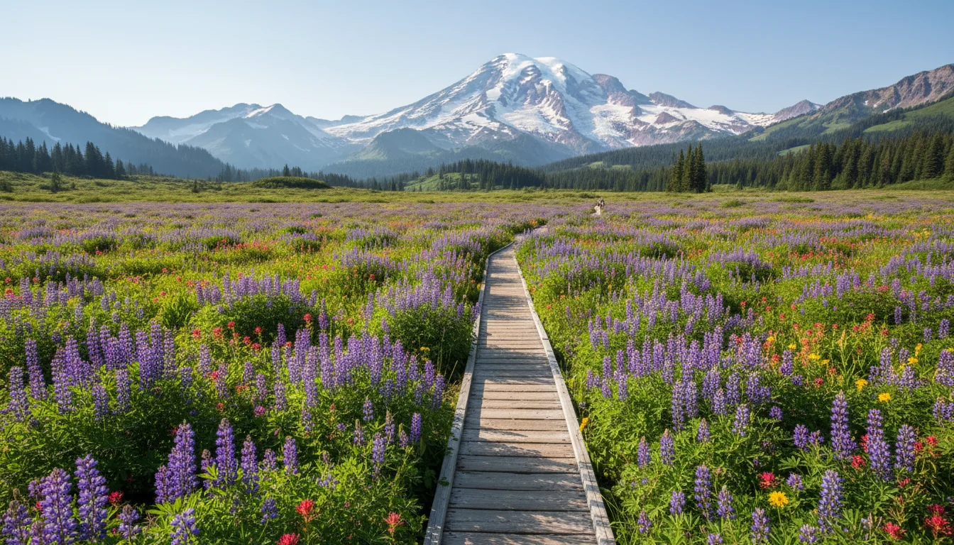
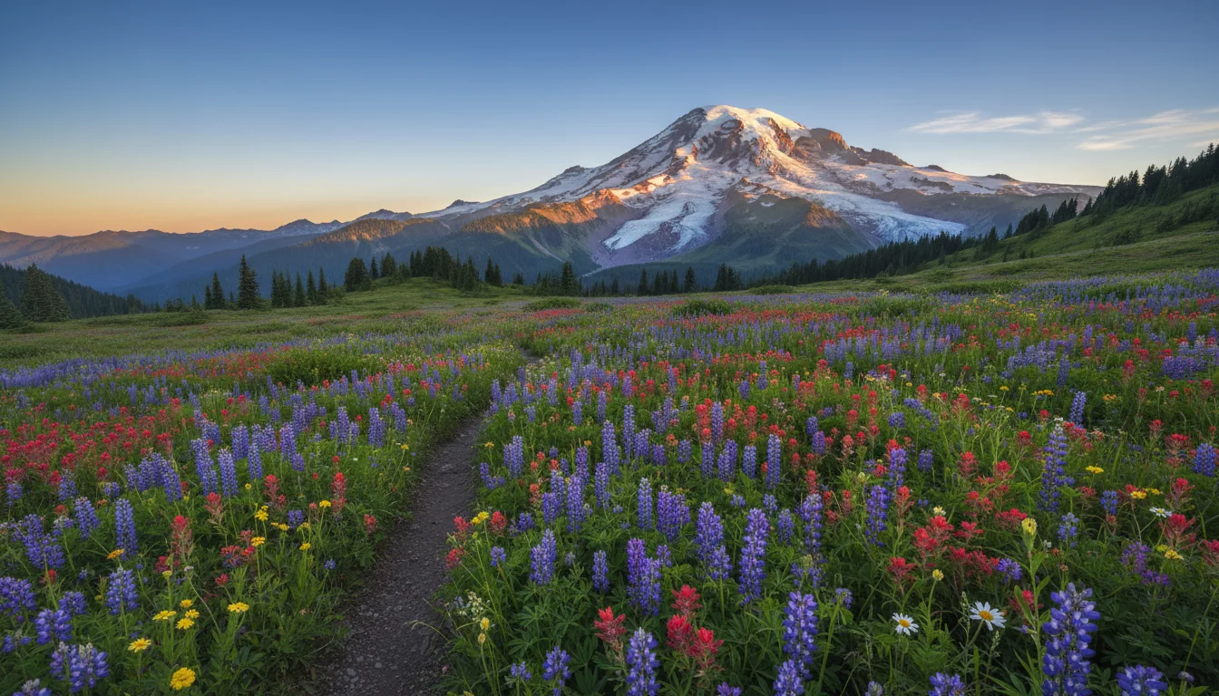
A subalpine meadow thick with wildflowers rising toward the glaciated south face of a great volcano, illustrative render in the series style
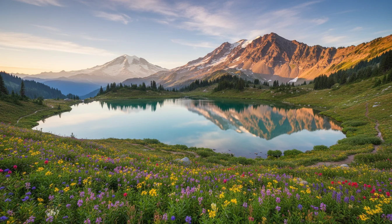
Paradise Meadows. Peak bloom is the last week of July into the first week of August — and even then a permanent icy slope crosses the upper Skyline loop.

The marquee hikeSkyline Trail loop

5.5 mi loop · 1,700 ft gain · ~4.5 hrs (NPS official). Climbs north through Paradise Meadows to Panorama Point (reached about 2 mi in, restrooms available), then loops back past Myrtle Falls near the end.

🔴 Snow/ice: NPS warns "early season hiking on this trail may be hazardous" and that there is "a dangerous icy slope that does not melt" — the High Skyline Trail bypasses it and reconnects above the Golden Gate junction. Use it when the snow is in.

Number honesty: an older NPS PDF gives 1,625 ft; the current maintained NPS trail page says 1,700 ft. We use 1,700.

5.5 mi · 1,700 ft · loop
Panorama Point ~2 mi in

Alta Vista — the short, steep version

The way to get the meadow-and-mountain view without committing to the full Skyline loop: 1.75 mi RT, ~600 ft, high point 5,940 ft, threading directly through the densest wildflower meadows.

⚠️ These figures are from the NPS place page / a search summary, not a dedicated NPS trail page — treat them as approximate.

Myrtle Falls & Nisqually Vista — the easy wins

Myrtle Falls is about 0.8 mi RT on a paved, near-flat path from the Paradise lot — a waterfall with the mountain behind it, and the classic morning shot. Nisqually Vista is a roughly 1.2 mi easy loop to a glacier overlook.

⚠️ Both distances are secondary (place pages / summaries), so we round and flag them.

The snow reality nobody plans for Paradise averages 637 inches of snow a year — 53.1 ft — and once held the world record for measured single-year snowfall, 1,122 inches (93.5 ft) in 1971–72. (The "snowiest place on Earth" line is a popular claim, not an NPS statement, and the 1971–72 record was later surpassed by Mt. Baker in 1998–99 — so we attribute it, we don't assert it.) The practical consequence: snowpack lingers deep into summer. Snow can remain on the higher Paradise trails into July, and in some years the meadows don't fully melt out until August. Expect snow on the upper Skyline even in mid-July, and don't count on the meadow bloom before late July.
06 / SUNRISE

The east side — the highest road, the biggest tundra

Sunrise sits at 6,400 ft, the highest point you can drive to in the park, and it opens the finest accessible alpine tundra in the Cascades. It is drier and more exposed than Paradise, with bigger panoramas of Rainier's east face and the Emmons Glacier — and it is the last road to open each year.

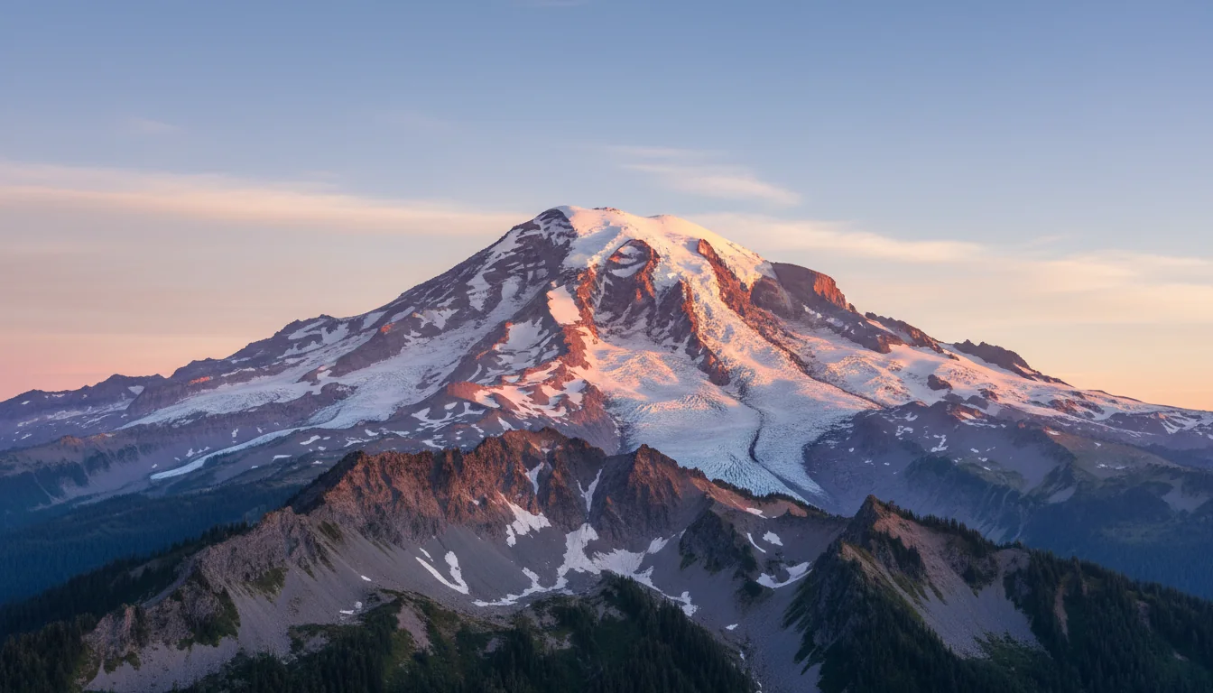
An open alpine tundra ridge at high elevation with a vast glaciated volcano filling the horizon, illustrative render in the series style
Sunrise, 6,400 ft. Frozen Lake is the hub — the junction that feeds both the Fremont Lookout and the Burroughs Mountain routes.

Highest lookout · biggest viewMount Fremont Lookout

5.6 mi RT · 900 ft gain · ~3 hrs (NPS). From the Sourdough Ridge Trailhead (6,400 ft) to Frozen Lake, then 1.3 mi along a rocky ridge to a 1930s fire lookout — views of Rainier, the Cascades and, on clear days, the Olympics.

5.6 mi · 900 ft · out-and-back
via Frozen Lake

"The finest, most accessible tundra in the Cascades" — NPSBurroughs Mountain

NPS official figures: 4.7 mi to First Burroughs, 7 mi to Second, 900 ft gain, ~2.5 hrs, facing the Emmons Glacier.

🔴 Do not blend the numbers. AllTrails and WTA report 8.9–9.5 mi with 2,463–2,900 ft gain because they measure the full loop to Third Burroughs — a longer, ~2,600–2,900 ft day. We cite the NPS out-and-back for 1st/2nd and flag Third as the bigger objective. Snow warning: "early season hiking on this trail may be hazardous due to steep snow-covered slopes" — a late-melting snowfield crosses the route.

4.7 mi (1st) · 7 mi (2nd)
900 ft · NPS figures

The gentle warm-upSourdough Ridge → Frozen Lake

3 mi RT · 500 ft · moderate · ~1.5 hrs. Frozen Lake is the hub junction feeding both Fremont and Burroughs, so this doubles as the connector for the bigger days above.

3 mi · 500 ft · moderate
hub junction
Getting there this year Sunrise Road opens late June / early July and closes late September / early October — the shortest season of any park road, precisely because of snow. It was open as of the 6 July 2026 NPS road status. Remember the rig rule: RVs and trailers over 25 ft are "not recommended" beyond White River Campground, and the reported Fryingpan Creek bridge work (§02) can add 20–30 minutes each way — budget extra time.
07 / WATERFALLS & VIEWPOINTS

The easy stops — the string of falls and the mirror lakes

Not every good thing here costs a 1,700-foot climb. The Nisqually–Paradise drive strings together three roadside waterfalls, and the east side holds the two classic reflection shots. One honest caveat runs through all of it: we do not print a single waterfall drop height as fact.

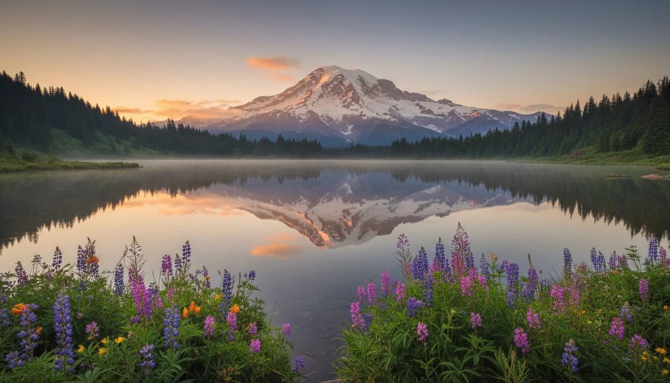
A perfectly still subalpine lake mirroring a great glaciated volcano at dawn, illustrative render in the series style
Reflection Lakes. The classic mirror shot — but only when the water is undisturbed by wind and the sky is clear. A dead-calm dawn, or nothing.
A tall two-tiered waterfall dropping down a mossy basalt wall into a forested pool, illustrative render in the series style

The Nisqually–Paradise waterfall string

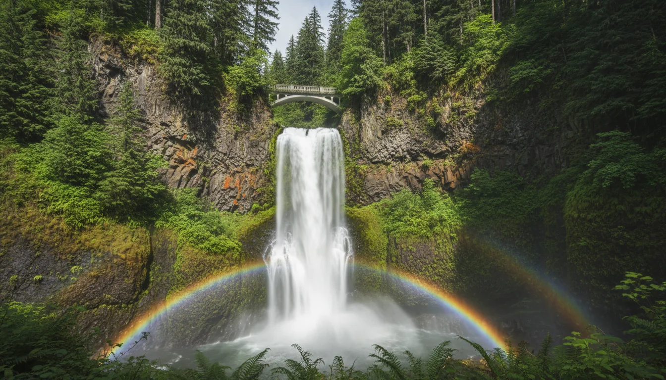
Narada, Christine and Myrtle Falls are all on the Longmire–Paradise drive — an easy waterfall run that needs almost no hiking. Narada is a two-tier fall reached by a short, steep 0.2 mi trail (with steps) from a roadside pullout; Christine is a two-tier drop under a 1928 stone bridge, visible from a pullout about 4 mi above Longmire; and Myrtle Falls sits on Edith Creek with Rainier behind, 0.8 mi RT paved from the Paradise lot.

⚠️ We print no drop heights as fact. Secondary sources vary — Narada is quoted as both 168 ft and 188 ft — and we did not fetch a dedicated NPS page giving exact figures. NPS maintains a waterfalls page; pull heights from it before printing any.

Reflection Lakes & Tipsoo Lake

Reflection Lakes sits on Stevens Canyon Rd about 2.7 mi east of the Paradise junction — the iconic mirror image, and it needs "conditions just right... water not disturbed by wind and the sky clear," so aim for a dead-calm dawn. Tipsoo Lake is on SR 410, 0.5 mi west of Chinook Pass on the park's eastern border: a subalpine lake with a wildflower foreground and excellent sunrise light on the mountain's east face.

Naches Peak Loop — the premier east-side loop

3.5 mi RT · 500 ft · Easy · ~2 hrs (NPS). Trailhead at Tipsoo Lake. 🔴 Hike it clockwise for the best Rainier views. The loop straddles the park boundary: dogs are prohibited on the park portion and allowed (leashed) only on the PCT portion outside the park. One of the park's premier wildflower and fall-color loops, with "abundant huckleberries in late summer and early fall."

Third-party figures vary (3.45–4 mi, 575–770 ft). Use the NPS 3.5 mi / 500 ft.

08 / WHAT'S CLOSED

The itineraries 2026 deletes

Three big-name stops are simply gone this year, and every one of them is still all over older guides, blogs and booking sites. Take them off the plan before you build around them — and note the substitutes that actually work.

A stand of enormous ancient conifers in deep green old-growth forest with a soft understory, illustrative render in the series style
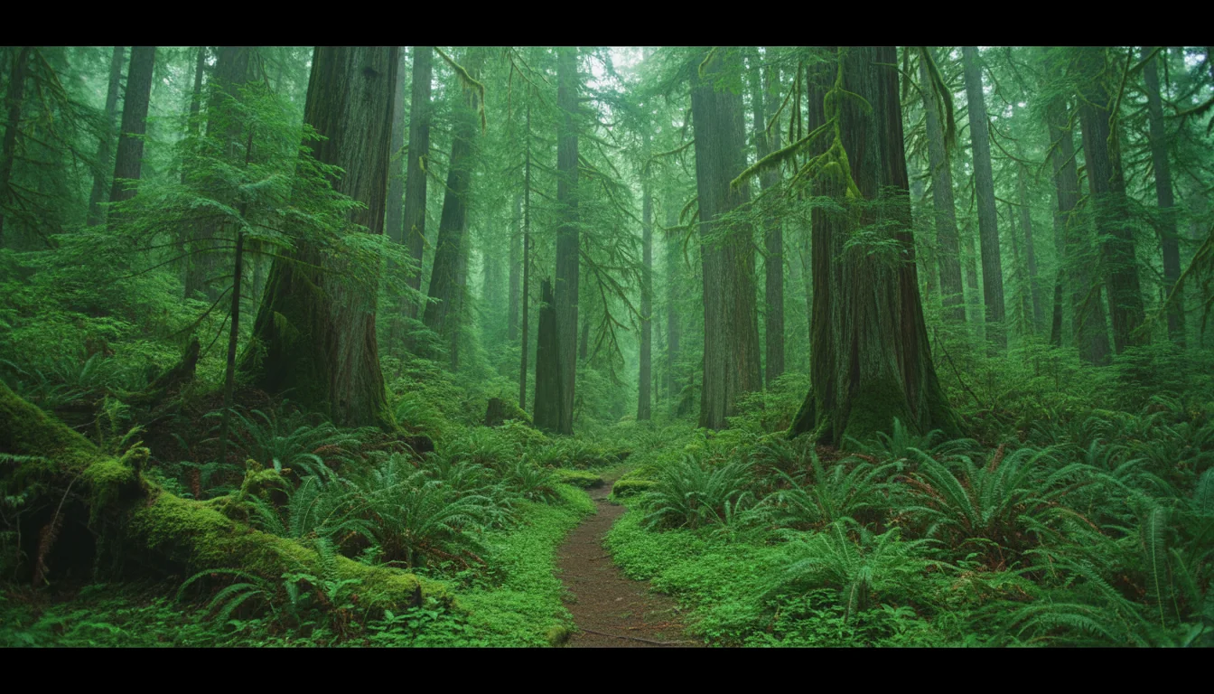
Old growth without the Grove. With the Grove of the Patriarchs closed, the Trail of the Shadows at Longmire is the easy old-growth substitute inside the park.

Grove of the Patriarchs — closed since 2021

Closed to all public entry since the November 2021 flood damaged its suspension bridge. Replacement is scheduled to begin summer 2027 and expected to take several years of summer-only work. A five-years-and-counting closure with construction not even started. Substitute: Trail of the Shadows (Longmire) or Ohanapecosh-area trails (confirm status first).

Carbon River & Mowich Lake — no vehicle access

The SR 165 Fairfax Bridge — opened 1921, age 103 — was closed permanently on 22 April 2025. It was the sole public route in, so both the Carbon River Road and Mowich Lake Road are closed and the entire northwest corner is unreachable by vehicle. The Carbon River bridge is a permanent closure; a WSDOT NEPA review of the crossing is underway with no reopening date. This breaks any "Wonderland loop drive" and every Mowich/Carbon plan.

Johnston Ridge — closed all 2026

At Mount St. Helens, the observatory is closed for the whole season — SR 504 is severed by the 2023 landslide (full treatment in §09). You can still reach the Science and Learning Center and the Hummocks Trailhead on the west side, but there is no Johnston Ridge view. The substitute crater view is Windy Ridge on the east side.

Also worth knowing before you build a plan Westside Road is open only to a barricade at Dry Creek because of an active geohazard — foot and bike beyond, no through-drive. Stevens Canyon and Sunrise are seasonal and close for winter. And the two east-side passes — Chinook (SR 410) and Cayuse (SR 123) — prohibit commercial vehicles and carry tunnel height limits (12' 6" on Stevens Canyon, 13' 1" on Cayuse), which matters if you are driving anything tall.
09 / MOUNT ST. HELENS

The volcano-context loop — and where you can actually stand

Rainier pairs naturally with the mountain that blew its own top off in 1980, but 2026 has rearranged which viewpoints are reachable. Johnston Ridge is out. Windy Ridge is in — with a catch. Ape Cave is open on a ticket. And Mount Adams we deliberately do not cover.

A truncated volcano with a gaping crater and a lava dome above a debris-strewn valley, illustrative render in the series style
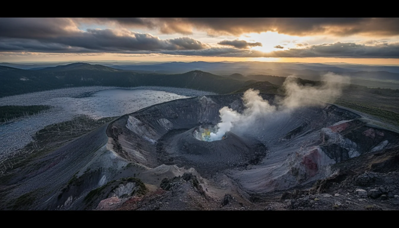
Mount St. Helens. With Johnston Ridge cut off by the 2023 landslide, Windy Ridge on the east side is the substitute crater view — but its best trails are weekend-only this year.
🔴 Johnston Ridge Observatory — closed for all of 2026 SR 504 (the Spirit Lake Highway) is severed by the 14 May 2023 landslide — more than 300,000 cubic yards of debris destroyed the Spirit Lake Outlet Bridge near milepost 49, and a closure gate stops traffic just past the Hummocks Trailhead (~MP 45.2). Bridge rebuild began 27 April 2026, "expected to be complete in fall 2026," after which the Forest Service must still restore the observatory itself — reopening is realistically spring 2027. What you can still reach on the west side: the Science and Learning Center and the Hummocks Trailhead — but nothing beyond, and no Johnston Ridge view.

Windy Ridge (east side) — open, but the best trails are weekday-closed

SR 99 to Windy Ridge opened for the season 15 June 2026. Windy Ridge Viewpoint is the alternative Spirit Lake and crater view now that Johnston Ridge is cut off.

🔴 The catch: the Truman Trail, 99 Extension Road and Harry's Ridge Trail are closed Monday to Friday (open Saturday and Sunday) due to Spirit Lake Outflow Tunnel construction. So the signature Windy Ridge hikes are weekend-only this season — plan the drive for a Saturday or Sunday if the trails are the point.

Ape Cave (south side) — open, timed tickets required

Open 22 May – 31 Oct. 🔴 Timed reservations are required via Recreation.gov, one ticket per vehicle, 9 a.m.–5 p.m., with limited vehicles per two-hour window. All south-side roads and trailheads open for the season.

⚠️ Ape Cave is a lava tube — cold (~42°F year-round) and dark. Bring layers and reliable light sources. Standard advisory, not separately sourced.

Sourcing honesty on Mount St. Helens — and on Mount Adams The official Forest Service pages (fs.usda.gov) returned HTTP 403 to us — we could not read the Gifford Pinchot / Mount St. Helens NVM pages for Johnston Ridge, Windy Ridge or Ape Cave directly. Everything above comes from WSDOT (official for SR 504), the Mount St. Helens Institute (a well-informed partner nonprofit, but not the land manager), Recreation.gov (official for tickets) and news outlets. Re-verify Windy Ridge and Ape Cave specifics against fs.usda.gov from a browser that can load it before you commit a long drive to them.

Mount Adams: we did not research it — the same blocked Forest Service domain covers it, so we have no verified 2026 road or trail access status and print none. Its draw for a volcano-context loop is the distant view and the Yakama Nation-managed south-side approach, but do not build an itinerary on Mount Adams specifics from this guide.

10 / ON FOOT

The day objectives, ranked by what they'll cost you

Everything in one table so you can match a hike to the day you've got. Where a figure is official NPS we say so; where third-party aggregators disagree, we cite NPS and flag the gap. Snow can change any of these into a harder day well into July.

A high mountain pass road with subalpine larch and a huckleberry meadow turning color beneath a great peak, illustrative render in the series style
Naches Peak, above Chinook Pass. 3.5 mi and 500 ft of the park's premier wildflower-and-fall-color loop — hiked clockwise for the Rainier views.
ObjectiveDistance (RT)GainEffortWhere & source
Myrtle Falls~0.8 mi~100 ft Anyone Paved from Paradise lot. Waterfall + mountain. Secondary distance
Nisqually Vista loop~1.2 mi~200 ft Easy Paradise. Glacier overlook. Secondary figures
Alta Vista1.75 mi~600 ft Short/steep Paradise. High point 5,940 ft. NPS place page (⚠️)
Sourdough Ridge → Frozen Lake3 mi500 ft Moderate Sunrise. Hub junction. NPS
Naches Peak Loop3.5 mi500 ft Easy Tipsoo Lake, SR 410. Hike clockwise. Dogs on PCT portion only. NPS
Burroughs Mountain (1st)4.7 mi900 ft Moderate Sunrise. Emmons Glacier tundra. NPS (2nd = 7 mi)
Skyline Trail loop5.5 mi1,700 ft Strenuous Paradise. Panorama Point ~2 mi in. 🔴 Icy slope — High Skyline bypass. NPS
Mount Fremont Lookout5.6 mi900 ft Moderate Sunrise. 1930s fire lookout. NPS
Burroughs Mountain (2nd)7 mi900 ft Strenuous early season Sunrise. 🔴 Snowfield crosses route. NPS — do not use AllTrails' 8.9–9.5 mi loop figure here
Third Burroughs (full loop) 🔴 A different, longer day: AllTrails/WTA give ~8.9–9.5 mi and ~2,463–2,900 ft to Third Burroughs. NPS does not publish a figure for it. Don't blend it with the 1st/2nd numbers above — carry a map and plan a full day.
The one warning that applies to almost every hike here Snow lingers. NPS flags "early season" hazard on both the Skyline and Burroughs trails specifically — a dangerous icy slope on Skyline that "does not melt," and steep snow-covered slopes on Burroughs. Even in mid-July, expect snow on the higher routes, use the High Skyline bypass when the ice is in, and check conditions before you commit. The wildflower meadows are typically at their best late July into August, not June — so the "peak season" hike and the "peak bloom" week don't line up with the empty calendar.
11 / WILDFLOWERS & LIGHT

Time the bloom, and shoot the mountain right

If you can pick only one week, pick the last week of July at Paradise. If you're a week or two late, go higher. And link the NPS live status page rather than trusting any fixed date, ours included — snowpack moves the whole calendar every year.

A star-filled night sky and Milky Way arcing over the silhouette of a great glaciated volcano, illustrative render in the series style

Bloom timing

  • Paradise (5,400 ft): peak = last week of July into the first week of August. Overall window mid-July to mid-August
  • Sunrise (6,400 ft) and higher meadows: peak ~1–2 weeks later than Paradise — the move if you arrive late
  • Timing shifts with snowpack: a heavy-snow winter pushes the peak later; a light one pulls it earlier

⚠️ Bloom windows are secondary but highly consistent. The NPS maintains a live wildflower status page — link it rather than trusting a printed date.

Actionable line: aim for the last week of July if you can only pick one week; go higher (Sunrise, Naches Peak) in early–mid August as Paradise fades.

Photography spots — editorial suggestions, not sourced facts These are our recommendations, presented as such: Reflection Lakes for the iconic mirror shot (dead-calm dawn only); Tipsoo Lake for a foreground lake plus Rainier plus wildflowers, with excellent sunrise light on the east face; Sunrise for sunset alpenglow and big east-face panoramas; Myrtle Falls for the classic waterfall-with-mountain in morning light; and the Naches Peak Loop for wildflower foregrounds (clockwise). None of these is sourced to a single authority — treat them as a photographer's suggestions, not verified facts.
12 / SNOW & SEASON

The snowiest patch of ground most people ever plan a trip around

Rainier's weather is the real hazard, and it does not care what the lowland forecast says. Paradise and Sunrise can be socked in whiteout while the valleys are sunny — and the snow that makes this mountain famous is the same snow that keeps the high roads closed and the meadows white into summer.

The snowfall, sourced carefully

Paradise (5,400 ft) averages 637 inches of snow a year — 53.1 ft, 16.2 m — per the NPS annual snowfall page (updated July 2026). Its world record was 1,122 inches (93.5 ft) in 1971–72.

⚠️ The "snowiest place on Earth" framing is not on the NPS page — it's a popular claim from secondary sources, and the 1971–72 single-year record was later surpassed (Mt. Baker, 1998–99, 1,140 in). We attribute it as a popular claim, not an NPS statement.

What that means for your trip

Snowpack lingers at Paradise deep into summer — snow can remain into July, and in heavy years the meadows don't fully melt out until August. Sunrise, higher still, opens latest and closes earliest for the same reason. Chains are required for all vehicles 1 Nov – 1 May (§02).

Safety framing: weather on the mountain changes fast, and Paradise or Sunrise can whiteout while the lowlands are clear. Standard mountain-weather and hypothermia cautions apply even in summer — carry layers, and don't push a high, exposed route into deteriorating cloud.

13 / GATEWAY TOWNS, FUEL & SERVICES

There is no fuel inside the park — fill up first

Every entrance has its own gateway town, only one entrance is open year-round, and the northwest gateway is cut off entirely this year. Top off before you drive in, because there is no gas station anywhere inside the boundary.

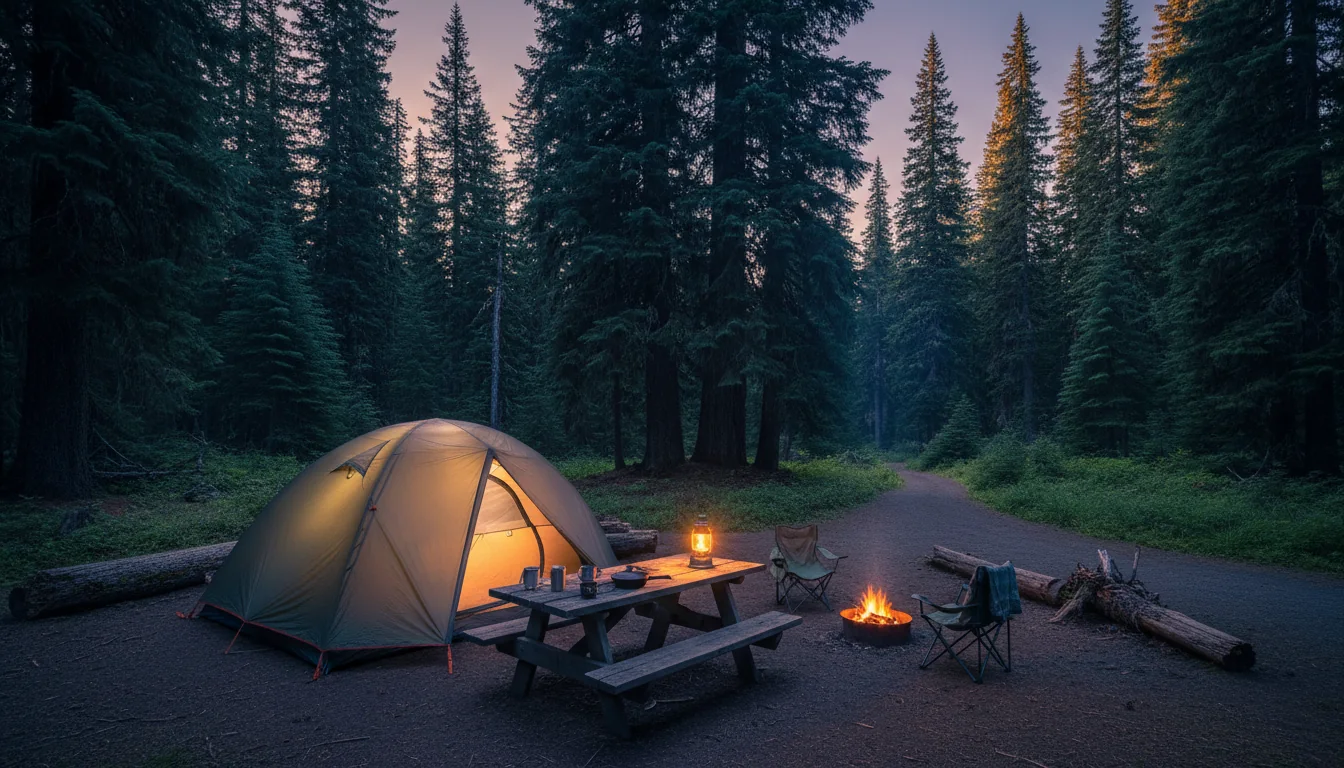
A camp set among tall Cascade conifers with a rig and awning in evening light, the volcano faint beyond the trees, illustrative render in the series style
Base outside the boundary. Ashford is the last practical fuel and supply before the year-round Nisqually entrance — the only entrance open all year.
EntranceSideGateway town(s)Open?
Nisqually (SR 706)SouthwestAshford (Elbe just west)🔴 Year-round — the only one
Stevens Canyon / Ohanapecosh (SR 123 / US 12)SoutheastPackwoodSeasonal (~late May–early Nov)
White River / Sunrise (SR 410)NortheastEnumclaw, GreenwaterSeasonal (~July–early Sept)
Carbon River / Mowich (SR 165)NorthwestWilkeson / Carbonado🔴 CLOSED — no access (Fairfax Bridge, §00)

The fuel rule, stated plainly

There are no gas stations inside Mount Rainier National Park. Fill up in a gateway town: Ashford for the Nisqually (SW) side — Ashford Valley Grocery is described as the last chance to buy gas approaching the entrance, with Elbe a few miles west; Packwood for the southeast; and Enumclaw or Greenwater for the Sunrise (NE) side, with Greenwater the last services before the White River entrance.

⚠️ We print no "longest no-fuel stretch" mileage — there's no authoritative figure. The safe, true statement: top off in Ashford, Packwood or Greenwater and don't count on anything until you're back out a gateway. Town-by-town business details are Visit Rainier (tourism) sourced; verify specific names and hours before relying on them.

The gateways, quickly

  • Ashford (Nisqually / SW): last fuel and supplies before the year-round entrance — groceries, firewood, hardware, beer/wine. Elbe has additional fuel
  • Packwood (SE): gas and groceries, ~13 mi southwest of the Stevens Canyon entrance
  • Enumclaw (NE): the largest gateway — full services, and home to the nearest hospital (§14)
  • Greenwater (east, on SR 410): general store ~18 mi from Enumclaw — fuel, groceries, camping/fishing gear, licenses. Last services before White River/Sunrise
  • Eatonville (west/NW approach, SR 161): a general service town — groceries and fuel; specifics unverified, so treat generically
A note on the town data No single NPS page enumerates fuel or food services — the URLs we tried (services-and-amenities.htm, eating-and-sleeping.htm) both returned 404. The entrance-and-gateway pairings above come from the NPS Directions page; the specific business names come from Visit Rainier (the official Pierce County tourism site) and are secondary. Confirm any specific store, its hours and its fuel before you build a resupply around it.
14 / CELL, MEDICAL & SAFETY

Assume no signal, and know where the hospital is

Coverage dies at the gate, the nearest confirmed hospital is on one side of the park only, and the mountain's real dangers are cold, weather and distance from help. Plan for a communications blackout the way you'd plan for weather.

A black bear foraging in a subalpine huckleberry meadow with the volcano rising behind, illustrative render in the series style
Bear country, cold water, fast weather. The consequences here are real even on an easy day — the mountain's hazard is distance from help as much as terrain.
🔴 In an emergency, call 9-1-1 first — do not drive to a facility you assume is open The nearest confirmed 24-hour hospital is St. Elizabeth Hospital, 1455 Battersby Ave, Enumclaw — part of Virginia Mason Franciscan Health, on the Sunrise/NE approach. That is the nearest full hospital to the park's north and east side.

⚠️ For the Nisqually/Ashford (SW) and Packwood (SE) sides, the nearest hospitals are farther (toward Morton and the Puyallup/Tacoma direction) and we could not confirm the specific closest facility — so we don't print one. In a life-threatening emergency, call 9-1-1 and let dispatch route you rather than driving toward a facility on a guess.

Cell service — assume none

Assume no cell service inside the park. Coverage is spotty to nonexistent at Paradise, Sunrise and Ohanapecosh, and drops out along SR 410 and SR 123. Carry offline maps and a satellite messenger.

⚠️⚠️ Weak sourcing, flagged hard: we found no NPS page and no readable carrier map for park cell coverage — carrier maps are JavaScript apps. So we publish no carrier-by-carrier table. The reliable, useful posture is simply: plan as if there is no signal.

The real hazards

  • Weather turns fast — whiteout at Paradise/Sunrise while the lowlands are sunny. Hypothermia is a summer risk here
  • Late snow on the higher trails into July — steep, icy slopes on Skyline and Burroughs specifically
  • Cold, glacier-fed water — treat every stream and lake as dangerously cold; do not calibrate on a warm lowland lake
  • Bear country — store food properly and keep a clean camp; carry and know how to use deterrents
  • 35 mph roads, narrow shoulders — the drive itself is a hazard; watch for stopped traffic at every viewpoint
Satellite & the phone in your pocket A modern satellite messenger (Garmin inReach, ZOLEO, or similar) is the single most useful safety purchase for this park, because the signal blackout is the real hazard. iPhone Emergency SOS via satellite works in the US and is worth knowing how to trigger before you need it — move to the widest sky window you can find (a clearing, a pullout, a ridge) before triggering, since dense forest and canyons block it. Leave a trip plan with someone, name your turnaround time, and don't rely on being able to text from the trail. Search and rescue coordination runs through 9-1-1; there is no public helicopter number.
15 / THE KIT

What this park specifically demands

Most of this is a normal Cascades loadout. What's different here is driven by four facts: there's no fuel and no signal inside the boundary, chains are the law for half the year, the snow lingers into summer, and the water is glacier-cold enough to matter even in August.

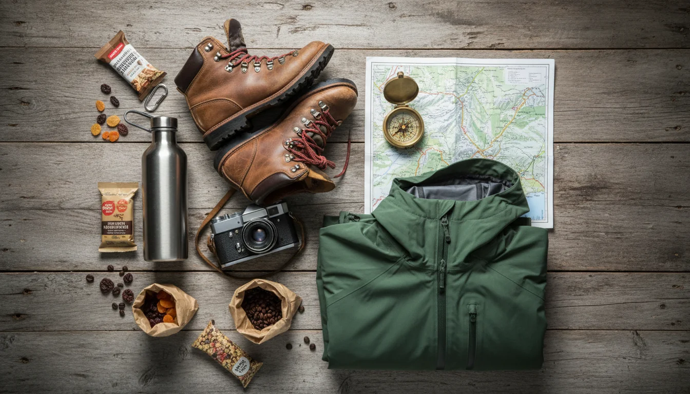
Overhead flat lay of park kit: a satellite communicator, tire chains, layers, a paper map, bear-aware food storage and a headlamp, illustrative render in the series style
The Rainier loadout. A full tank, chains in season, a satellite messenger and warm layers do more for you here than any amount of gear — because the hazard is distance from help.

The paperwork & the booking

  • $30 vehicle pass (7 days) bought at the gate — or bought as cash in a gateway town first, because the entrances are cashless
  • A plan built around no timed-entry reservation in 2026 — early arrival or after-4 p.m., not a booking
  • Wilderness permit if you're camping in the backcountry ($6 + $12/person/night; reserve ≥2 days out)
  • Climbing registration ($82/person) if you're going above ~10,000 ft or onto a glacier
  • Ape Cave timed ticket (Recreation.gov) if Mount St. Helens south side is on the plan
  • Fee-free days noted, if you're flexible — the 2026 list is in §03

The drive

  • A full tank before you enter. No fuel anywhere inside the park — fill in Ashford, Packwood or Greenwater
  • Tire chains 1 Nov – 1 May — required for all vehicles, including 4WD/AWD, regardless of weather
  • Satellite communicator + offline maps — assume no cell service inside the boundary
  • Height awareness for tall rigs: 12' 6" tunnel on Stevens Canyon, 13' 1" on Cayuse
  • Rig-length awareness: over 25 ft not recommended beyond White River CG toward Sunrise
  • Extra time for the reported Fryingpan Creek one-lane delays on Sunrise Road (§02)
  • The NPS road-status page checked the morning you leave — roads "may close at any time"

On the mountain

  • Warm layers even in summer — Paradise and Sunrise can whiteout while the valleys are sunny
  • Traction for late snow — microspikes and poles for the upper Skyline and Burroughs into July
  • Your own potable water and a filter — glacier-fed water is cold and must be treated
  • Bear-aware food storage and a clean-camp habit — this is bear country
  • Light source and layers for Ape Cave (~42°F, dark) if you go
  • Sun protection for the exposed Sunrise tundra — there's little shade up high
  • A headlamp and turnaround discipline — the long Sunrise days start well before the lot fills
16 / TRIP SHAPES

Four ways to run Mount Rainier in 2026

Built around the constraints rather than a wish list: where the roads go this year, where the fuel is, and the fact that the lots fill by mid-morning with no reservation to save your spot. Each shape names what to book and what will ruin it.

Read this before you pick dates Three timing facts shape every itinerary. Sunrise Road opens late June/early July — a June trip may find it still gated. Wildflower peak is late July into early August, not June. And with no timed entry, the Paradise and Sunrise lots fill by mid-morning, so early starts or after-4 p.m. visits beat the crowd. If Mount St. Helens is on the plan, note that the Windy Ridge trails are weekend-only and Ape Cave needs a timed ticket.
01

The long weekend — Paradise base

  1. Fri: Fuel and supplies in Ashford, in through the year-round Nisqually entrance. Waterfall string on the drive up — Christine, Narada, Myrtle.
  2. Sat: Skyline Trail at first light (lots fill by ~9 a.m.) — 5.5 mi, 1,700 ft, High Skyline bypass if the ice is in. Reflection Lakes at dawn if you're up for it.
  3. Sun: An easy morning — Alta Vista or Nisqually Vista — then out before the afternoon crowd, or an after-4 p.m. return for evening light.
$30 vehicle pass · no reservation to book Lots fill by mid-morning Late snow on upper Skyline into July
02

The Sunrise tundra day

  1. Confirm the road first — Sunrise opens late June/early July, and it's the last road to open. RV/trailer over 25 ft stays at White River.
  2. Early start to the Sunrise lot. Sourdough Ridge → Frozen Lake as the warm-up, then choose Mount Fremont Lookout (5.6 mi) or First Burroughs (4.7 mi).
  3. Save the panorama for the end — Sunrise is best for east-face light. Budget extra time for Fryingpan Creek one-lane delays.
Highest road in the park — 6,400 ft Snowfield on Burroughs early season NPS figures only — don't blend AllTrails
03

The full circuit — south to east

  1. Day 1 — Paradise (SW). In via Nisqually, waterfalls and Skyline. Base near Ashford.
  2. Day 2 — Stevens Canyon to Ohanapecosh (SE). Reflection Lakes en route; mind the 12' 6" tunnel. Old growth via Trail of the Shadows (the Grove is closed).
  3. Day 3 — Chinook & Cayuse passes. Tipsoo Lake and the Naches Peak Loop (clockwise). Both passes reopened 22 May.
  4. Day 4 — Sunrise (NE). Fremont or Burroughs. Fuel and hospital access via Enumclaw/Greenwater.
One year-round entrance, three seasonal NW corner deleted — no Carbon/Mowich No fuel inside — top off at each gateway
04

The volcano-context loop

  1. Rainier first — Paradise and the waterfall string, a couple of days as above.
  2. Mount St. Helens, west side: Science and Learning Center and the Hummocks Trailhead — no Johnston Ridge view this year.
  3. Windy Ridge (east): the crater view — plan it for a Saturday or Sunday, since Truman and Harry's Ridge are weekday-closed.
  4. Ape Cave (south): book the timed Recreation.gov ticket, bring layers and light for the ~42°F lava tube.
Windy Ridge substitutes for Johnston Ridge Best St. Helens trails weekend-only Mount Adams not covered — verify separately
17 / RAINIER-READY

The departure check

Run it the night before. Tap each item as it's done — these are the twelve things specific to Mount Rainier in 2026 that a general park habit will skip.

0 / 12 confirmed — the mountain makes its own weather.
18 / QUICK ANSWERS

Asked at every Rainier trailhead

Do I need a timed-entry reservation in 2026?
No. In a release dated 25 February 2026, the NPS stated Mount Rainier "will not implement a timed entry reservation for any portion of the park in 2026." The 2024–25 Paradise/Sunrise pilot is cancelled; entry is first-come, first-served. But this is a 2026-only fact — the park could bring it back in 2027, so check nps.gov/mora before you travel. And no reservation does not mean no crowds: the Paradise and Sunrise lots fill by mid-morning on clear summer days, and rangers hold or turn traffic when a lot is full. The NPS's own advice is to arrive before 7 a.m. or after 4 p.m. and go on a weekday.
Can I still drive to Carbon River or Mowich Lake?
No. The 103-year-old SR 165 Fairfax Bridge — the sole public route to those entrances — was closed permanently on 22 April 2025 after inspection found the support column "bent in two directions and starting to buckle." The NPS road status page states there is no public access to Carbon River and Mowich Lake from SR 165. A ~9-mile emergency detour exists but is restricted to first responders and local property owners, not the public. There's no reopening date; WSDOT is running a multi-year NEPA review. Treat the whole northwest corner as unreachable by vehicle.
Is the Grove of the Patriarchs open?
No. It's been closed to all public entry since the November 2021 flood damaged its suspension bridge. Per the NPS Alerts & Conditions page, replacement is "scheduled to begin summer 2027" and expected to take several years of summer-only work — treat it as unavailable through at least 2027–28. For an easy old-growth substitute inside the park, use the Trail of the Shadows loop at Longmire or the Ohanapecosh-area trails (confirm status first).
Can I see the Mount St. Helens crater in 2026?
Not from Johnston Ridge — that observatory is closed all of 2026. SR 504 is severed by the 14 May 2023 landslide; a gate stops traffic just past the Hummocks Trailhead. Bridge rebuild began 27 April 2026, "expected complete fall 2026," after which the Forest Service must still restore the observatory — realistically spring 2027. The substitute crater view is Windy Ridge on the east side (SR 99, opened 15 June 2026), but note its best trails — Truman, 99 Extension Road and Harry's Ridge — are closed Monday to Friday and open only Saturday and Sunday for Spirit Lake Outflow Tunnel construction. Ape Cave on the south side is open 22 May – 31 Oct but requires a timed Recreation.gov ticket, one per vehicle.
What does it cost to enter, and is the park cashless?
A private vehicle pass is $30 for 7 consecutive days (a "$30 for 3 days" summary is wrong — the NPS fees page says 7). Motorcycle $25, individual on foot/bike $15, Mount Rainier annual $55. The park is cashless at entrances and campgrounds — if you need cash, buy a $30 pass at a designated community location in a gateway town first. The America the Beautiful annual pass is now two-tier: $80 resident, $250 non-resident — Canadian readers should note the $250 tier; for a single visit the $30 vehicle pass beats it every time. 2026 fee-free days: Feb 16, May 25, June 14, July 3–5, Aug 25, Sept 17, Oct 27, Nov 11.
Where's the last fuel, and is there cell service?
There are no gas stations inside the park. Fill up in Ashford (Nisqually/SW), Packwood (SE), or Enumclaw/Greenwater (Sunrise/NE), with Greenwater the last services before the White River entrance. There's no authoritative figure for the longest no-fuel run inside the park, so just top off at a gateway and don't count on anything until you're back out. For cell service, assume none inside the park — coverage is spotty to nonexistent at Paradise, Sunrise and Ohanapecosh and drops out along SR 410/123. Carry offline maps and a satellite messenger. The nearest confirmed 24-hour hospital is St. Elizabeth in Enumclaw (NE side); nearest facilities for the SW/SE sides are farther and unconfirmed, so in an emergency call 9-1-1 first.
19 / WHAT WE COULD NOT CONFIRM

The honest gaps, all in one place

Every guide has these. Most don't print them. This is the consolidated list of what we could not stand up, what we deliberately withheld, and where the numbers you'll see elsewhere come from — because on a mountain with no signal and fast weather, a confident wrong number costs more than an admitted gap.

Numbers we deliberately did NOT print — and why No waterfall drop heights as fact. Secondary sources vary (Narada is quoted as both 168 and 188 ft); we did not fetch the dedicated NPS waterfalls page, so we print none. No Mount Adams road or trail specifics — the Forest Service domain (fs.usda.gov) returned 403, so we did not research it and print nothing. No carrier-by-carrier cell table — no readable source exists; the honest posture is "assume no signal." No "longest no-fuel stretch" mileage — no authoritative figure; the safe statement is "no fuel inside the park." No blended Burroughs Mountain figure — NPS gives 4.7 mi (1st) / 7 mi (2nd); AllTrails/WTA give 8.9–9.5 mi to Third Burroughs; we keep them separate. No firm Fryingpan Creek 2026–2029 span or delay minutes as fact — secondary only, flagged to verify. No nearest hospital for the SW/SE sides — only St. Elizabeth (Enumclaw, NE) is confirmed. No "3-day" vehicle pass — the NPS fees page says 7 days. No May 21 Sunrise Road opening — inconsistent with the road's own late-June/early-July norm.
Why this section exists Anyone can write a guide that sounds certain. The hard part is knowing which of your numbers are real — and on Mount Rainier a surprising number aren't, because the Forest Service pages were blocked, NPS doesn't enumerate fuel or cell coverage, and third-party trail aggregators disagree with the park. The null is the product. If you're standing at a trailhead with no signal, "NPS doesn't publish this, carry a map" is a usable instruction. A confident wrong number is not.
🔒

The printable field guide

Everything above, condensed into a print-ready PDF built for the glovebox — for a park where the signal dies at the gate and the weather turns in minutes. The 2026 road status and closures, the pass and permit ladder with the $250 non-resident trap, the best Paradise and Sunrise hikes with NPS figures you can trust, the Mount St. Helens substitute-view plan, every gateway-town fuel stop, and the honest list of what nobody publishes — on paper that works where the signal doesn't.

2026 roads & closures Passes, permits & fees Paradise & Sunrise hikes Mount St. Helens loop Gateway fuel & medical Departure check What nobody publishes
Unlock the PDF — $4.95
$4.95 per guide · Instant access · Built by people who actually go there
Trail Journal No. 014

Go farther. Camp lighter.
Leave it better.

Every Trekkr Trail Journal is built like this one: custom logistics, honest trail beta, the pass and permit detail, kit lists and the local knowledge that turns a good trip into the one your crew talks about for years — including, always, a plain list of what we could not confirm. New destinations drop all season long; this is our second issue in Washington State.

Unlock the Trail Journal Library
↗ Read the other Washington issue — No. 012, Olympic Peninsula & the Washington Coast
$4.95 per guide · Instant access · Built by people who actually go there