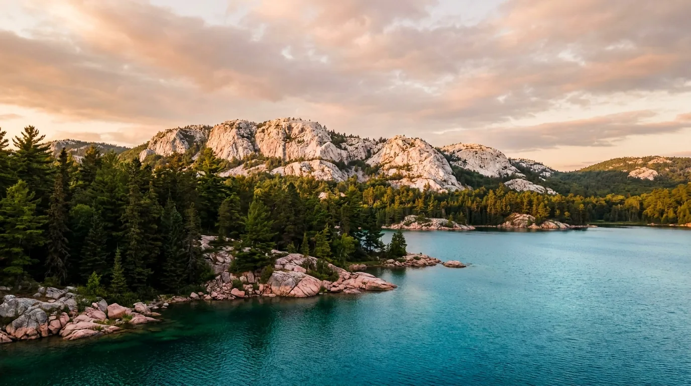
A pale white quartzite ridge of the La Cloche Mountains rising above a clear turquoise lake at golden hour, pink granite shoreline and dark spruce forest, Killarney Provincial Park Ontario, ultrarealistic photograph representative of the region
Trekkr Trail Journal · No. 058 · Killarney & Manitoulin Island

Killarney & ManitoulinOntario — the white-quartzite La Cloche wilderness, the world's largest freshwater island, the swing bridge & the ferry

This is the rock that inspired the Group of Seven: white quartzite so pale it looks snow-capped in July, pink-granite shores, and lakes so clear they read as turquoise. On one side of the water is Killarney Provincial Park — a demanding backcountry-canoe-and-quartzite wilderness with a single developed campground. On the other is Manitoulin, the world's largest freshwater island, reached by a one-lane swing bridge or a seasonal car ferry, and rooted deep in Anishinaabe culture. Together they make one compact Northern Ontario circuit — if you plan the water, the bugs and the permits.

Ontario · Canada Killarney PP · La Cloche · Georgian Bay Manitoulin Island · Swing bridge & Chi-Cheemaun Fall is the marquee season
Group of 7The landscape that helped inspire Canada's painters
~2,766 km²Manitoulin — the world's largest freshwater island
No cans/glassBanned in Killarney's backcountry interior
Mid-SeptBugs gone, maples turning — the season to aim for
Conditions compiled 23 July 2026 · The water crossing, the bug calendar and the backcountry permit decide the trip before the trail does · This block goes stale — the links don't

The water in, the bugs, and the backcountry gate

The rest of this journal is evergreen; this box is not. Here, three things decide whether your plan works before you lace a boot — how you get onto Manitoulin (§02), when the bugs are out (§09), and the interior-permit, bear-country, no-cell reality of Killarney's backcountry (§06). Everything below is dated to the day we compiled it, and much of it — fees, ferry fares, exact site counts — the research could not verify. Trust the live sources, not our date stamp.

  • Two ways onto Manitoulin — a seasonal ferry and a one-lane swing bridgeFrom the south, the Chi-Cheemaun car ferry (Tobermory–South Baymouth) runs roughly early May to mid-October and does not run in winter — book a vehicle reservation in summer. From the north, Highway 6 crosses the Little Current swing bridge, a one-lane 1913 span that swings open for boats on a schedule (historically ~15 min at the top of the hour). [VERIFY the 2026 ferry schedule/fares at ontarioferries.com and any bridge notices] (§02)
  • Killarney's interior is permit-only, bear country, and off the gridEvery overnight canoe or backpacking trip needs an interior camping permit, and sites are reservation-specific (book up to 5 months ahead). Cans, glass bottles and chainsaws are banned in the backcountry, it is black-bear country, and there is effectively no cell service on the interior lakes or much of Hwy 637. Register your route at the George Lake office. (§05, §06)
  • The bug calendar is real — plan around itBlack flies peak mid-May to mid/late June; mosquitoes are strong June into July. Late-spring backcountry trips genuinely need head nets, bug shirts and DEET. Bugs taper through July–August and are largely gone by mid-September — which, with the fall colour, is why September–October is the season to aim for. (§09)
  • George Lake is the only developed campground — and it books outKillarney's only car-camping campground is George Lake; everything else in the park is roofed (6 yurts, 2 cabins) or backcountry. Popular sites, yurts and fall weekends sell out — reserve early via Ontario Parks. George Lake goes walk-in (gates closed) roughly late Nov–early May. [Fees and exact site counts UNVERIFIED — confirm at ontarioparks.ca] (§07)
  • Northern Ontario fire bans happen in dry summersRestricted Fire Zones are common in dry spells — they can prohibit open fires across the region. Check for an active ban before any campfire and carry a stove. Georgian Bay and the big lakes can also turn dangerous fast with wind — plan paddling for the calm of morning. [VERIFY the fire zone status the week you go] (§06)
  • This is living Indigenous land — plan it that wayManitoulin and the adjacent mainland include Wiikwemkoong Unceded Territory and other First Nations. Access some areas — Wiikwemkoong lands, the mainland Point Grondine Park — through their tourism operators, follow their guidance, respect sacred sites, and don't remove artifacts. (§06, §08)
Live sources · Ontario Parks — Killarney · Ontario Parks reservations & interior permits · Ontario Ferries — Chi-Cheemaun schedule & fares · Gordon's Park Dark-Sky Preserve · Wiikwemkoong Tourism
In an emergency, 911 where there is signal — note there is often no cell coverage in the backcountry or along Hwy 637. This box was true at compile and will not stay true — the sources above are the truth on the day you travel.
01 / THE HOOK

The rock that painted a country, and the island beside it

Killarney Provincial Park sits on Georgian Bay's rugged north shore, about four hours north of Toronto and an hour southwest of Sudbury. Its signature is the La Cloche Range — large, rounded hills of white quartzite so pale they can look snow-capped in full summer. That quartzite backbone, against pink-granite shores and startlingly clear turquoise lakes, is the landscape that helped inspire Canada's Group of Seven; A.Y. Jackson lobbied to protect it, and O.S.A. Lake and A.Y. Jackson Lake carry the legacy. Immediately south and west lie Georgian Bay and, across the North Channel, Manitoulin — the world's largest freshwater island, a landscape of limestone plains, cliffs, inland lakes and white-sand beaches, and the deeply rooted home of several Anishinaabe communities. For an overlander the pairing is close to ideal: a hard quartzite-and-canoe park on one side, a laid-back island road-trip loop on the other, joined by a swing bridge and a ferry.

A long white quartzite ridgeline of the La Cloche Silhouette above a valley of blue lakes and forest, a distant backpacker on the pale rock spine, Killarney Provincial Park Ontario, ultrarealistic photograph representative of the region
The La Cloche quartzite spine. These pale ridges are the reason the park exists — A.Y. Jackson named the multi-day backcountry loop here "The Silhouette" after his own painting. The rock is beautiful, hard, and slick when wet: gorgeous to look at, demanding to walk (§04, §06).

The payoff

World-class flatwater paddling among white ridges, one of Ontario's best (and hardest) day hikes in The Crack, dark-sky astronomy, waterfalls, beaches, fresh Georgian Bay whitefish, and living Anishinaabe culture — all in one compact circuit (§04, §05, §08).

The catch

Killarney has one developed campground and a permit-only interior; Manitoulin is reached only by a one-lane bridge or a seasonal ferry. Spring means black flies; the backcountry means no cell service and bears. Plan the water, the bugs and the permits (§02, §06, §09).

The season

Fall is the marquee. Mid-September to mid-October brings peak maple colour against white quartzite and blue water — the Group-of-Seven experience — with the bugs gone and the crowds thinned. Book early; fall weekends sell out (§09).

The way to think about the region — two landscapes, one channel, joined by a bridge and a boat Picture two very different trips sharing a shoreline. Killarney Provincial Park (est. 1964, ~493 km²) is the wilderness half: white La Cloche quartzite, pink-granite Georgian Bay coast, ~50 interconnected interior lakes, and a single developed campground at George Lake on Highway 637. Manitoulin Island (~2,766 km²) is the road-trip half: limestone cliffs and alvar plains, inland lakes (including Lake Manitou, the largest lake on any freshwater island), white-sand beaches, small farming and fishing towns, and the Anishinaabe communities whose culture defines it — the name comes from Manitou, the Great Spirit. The two are separated by the North Channel and joined only at Little Current (the swing bridge) or, seasonally, by the Chi-Cheemaun ferry to the island's south shore (§02). Base your plan on which half you're there for — or, better, string them together.
02 / GETTING THERE & THE WATER CROSSING

Highway 637 to a dead end, and two ways across to the island

There are three moving parts to getting here, and the island crossing is the one people don't plan. Killarney village and the park are reached down a single dead-end highway off the Trans-Canada. Manitoulin has exactly two entrances — a one-lane swing bridge that opens for boats on a schedule, and a car ferry that only runs in the warm months. Get the ferry reserved, know the bridge waits, and top off fuel before the bush stretch, and the logistics stop being a problem. Here's how it worked for 2026; confirm the current schedules before you build a day around a sailing or a bridge opening.

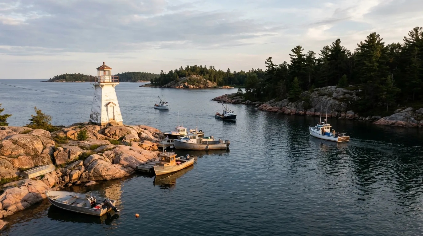
A small white lighthouse on a pink granite point at the channel by Killarney village, calm Georgian Bay water and fishing boats in evening light, Ontario, ultrarealistic photograph representative of the region
Killarney village, the end of Highway 637. The road runs ~65–70 km through the bush and dead-ends at this small Georgian Bay fishing village — fuel, a supermarket, an LCBO, lodges and the famous fish-and-chips docks. The George Lake park entrance is a few km before the village.
The way inRouteSeason / notesThe catch
Killarney village & park
Highway 637
Off Trans-Canada Hwy 17 (between Sudbury & Espanola), south on Hwy 637 ~65–70 km to the dead end Year-round road George Lake entrance is a few km before the village; Bell Lake put-in is a signed side road. No cell for much of the bush stretch
Little Current swing bridge
the north entry
Hwy 6 south from Espanola ~50 km, over the one-lane 1913 swing bridge into Little Current Year-round The only fixed road link. Swings open for boats on a schedule (historically ~15 min at the top of the hour in summer) — expect brief waits
Chi-Cheemaun ferry
the south entry
Tobermory (Bruce Peninsula) ↔ South Baymouth; carries vehicles & passengers Seasonal ~early May–mid-Oct Lets you make a loop, not a there-and-back. Does not run in winter. Vehicle reservations strongly advised in summer

The Chi-Cheemaun (Ojibwe for "big canoe") crossing runs ~1 hr 45 min (peak) to ~2 hrs. Peak-summer sailings historically left Tobermory 9 a.m. / 1 p.m. / 5 p.m. and South Baymouth 11 a.m. / 3 p.m. / 7 p.m. Schedules change by season — confirm the 2026 sailings and reserve a vehicle spot at ontarioferries.com before you plan a crossing.

🔴 The crossing mistake — and the fuel one Two things trip people up. First, treating the Chi-Cheemaun like a year-round shortcut: it's seasonal, it fills for vehicles in summer, and in winter the swing bridge is the only way onto the island. Second, fuel. Killarney village's Co-op reportedly has 24/7 pay-at-pump, but it's a long dead-end road — top up in Sudbury or Espanola and don't make the village your only plan. On the island, fuel is in Little Current and the service towns, not everywhere. Plan resupply around the gaps, not the towns.

Fares & the ferry, honestly

Sample one-way passenger fares seen for 2026 were around $18 adult and $15.60 senior, children less, with the vehicle fare charged separately and about $10 daily terminal parking.

We flag every one of those numbers as unverified — ferry fares change yearly. Confirm the current fares and book a vehicle reservation at ontarioferries.com; walk-on is easy, driving on in summer is not.

Loop, don't backtrackFares UNVERIFIED — confirm

Gateway towns & services

  • Sudbury — nearest city (~1 hr to the park): full services, airport, hospitals, big-box stores, last major fuel/grocery before Killarney
  • Espanola — last sizeable Hwy 17 town at the Hwy 6 turnoff: fuel, groceries, LCBO, hardware
  • Little Current — island hub just past the bridge: fuel, grocery, LCBO/Beer Store, marine services, hospital, restaurants
  • Manitowaning, Mindemoya, Gore Bay — island service towns: fuel, groceries, medical, dining

Cell coverage is reliable in towns and effectively absent on Hwy 637's bush stretch and in Killarney's backcountry — a satellite messenger is wise.

The 60-second access decision
  1. Just doing Killarney? Hwy 17 to Hwy 637 south; George Lake entrance a few km before the village. Top off fuel in Sudbury/Espanola first.
  2. Killarney then Manitoulin? Backtrack to Hwy 17, west to Espanola, Hwy 6 south over the swing bridge at Little Current.
  3. Want a loop with no backtracking? Enter the island north via the bridge, exit south on the Chi-Cheemaun to Tobermory (or the reverse) — reserve the vehicle ferry ahead.
  4. Travelling in winter? The ferry is closed — the swing bridge is the only way onto the island.
  5. Heading into the backcountry? Assume no cell from the trailhead on; carry a map, compass or GPS, and ideally a satellite communicator.
03 / TWO LANDSCAPES

The quartzite wilderness, and the island road trip

Killarney and Manitoulin share a shoreline and almost nothing else. One is a rugged, permit-heavy wilderness park built for paddlers and fit hikers; the other is a broad, welcoming island you tour by car, stopping at cliffs, falls, beaches and cultural sites. Most people lean toward one. Know which is which before you plan a trip that expects the wrong thing from either.

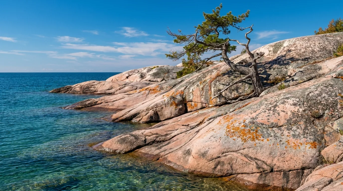
A smooth pink granite shoreline of the Canadian Shield sloping into clear turquoise water, glacial-polished rock with lichen and a lone windswept pine under blue sky, Killarney Georgian Bay Ontario, ultrarealistic photograph representative of the region
Pink granite meeting turquoise water — the Killarney signature. The clarity of these lakes is partly a recovery story: 20th-century Sudbury smelter acid-rain damage stripped them, and they're slowly coming back. Beautiful, ecologically sensitive, and worth treading lightly on (§06).

Killarney — the wilderness half

  • White quartzite & pink granite: the La Cloche Range and a Georgian Bay coast of glacier-polished rock and windswept pines
  • One developed campground (George Lake) plus yurts, cabins, and a big paddle-in and hike-in interior — permit only (§07)
  • The hikes: The Crack, Chikanishing, Granite Ridge, and the multi-day La Cloche Silhouette loop (§04)
  • The paddling: ~50 interconnected interior lakes, day trips from George or Bell Lake, and classic multi-day canoe routes (§05)
Est. 1964 · ~493 km²Permit-heavy backcountry

Manitoulin — the island half

  • World's largest freshwater island (~2,766 km²): limestone alvar plains, cliffs, inland lakes and white-sand beaches
  • Anishinaabe heartland: several First Nations, most notably Wiikwemkoong Unceded Territory — one of the few never surrendered by treaty — with acclaimed Indigenous-led tourism
  • The sights: Cup and Saucer cliffs, Bridal Veil Falls, Ten Mile Point, Providence Bay beach, Gordon's Park dark-sky preserve (§04, §08)
  • A road trip, not a wilderness: small towns, farm-to-table dining, private campgrounds and cottages — touring by car
Road-trip loopRespect Indigenous land
A sweeping high view over the deep blue North Channel dotted with forested islands and rocky shoals from Ten Mile Point, Manitoulin Island Ontario, ultrarealistic photograph representative of the region

Why do both if you can

They complement each other perfectly. A few hard, rewarding days at Killarney — a Crack hike, a George Lake paddle, a fish-and-chips night — then a slower island loop of cliffs, falls, beaches and culture, staged through Chutes Provincial Park at Massey in between (§07).

The classic full circuit runs one direction only: in via the swing bridge, out via the Chi-Cheemaun to the Bruce Peninsula — a true Great-Lakes-and-Shield arc with no backtracking (§10).

Stage through Chutes PPBridge in, ferry out
Which land for which trip Paddler, backpacker, or after solitude and quartzite? Killarney — but plan the permits, the bugs and the no-cell backcountry. Travelling with a mixed group, kids, or after an easy-going road trip with culture, beaches and good food? Manitoulin — welcoming, drivable, and deep. Want the whole arc? Do Killarney first, then loop the island and exit on the ferry. Whichever you pick, the fall shoulder (§09) is the sweet spot for both.
04 / THE HIKES

Quartzite scrambles at Killarney, escarpment cliffs on Manitoulin

The signature hikes here are short by distance and big by effort. Killarney's trails climb white quartzite that is hard, slick when wet, and ankle-unfriendly — The Crack and the La Cloche Silhouette are genuinely rugged, not casual strolls. Manitoulin's Cup and Saucer rides the Niagara Escarpment to dramatic cliff edges. The distances below come from Ontario Parks and standard trail sources and are the best figures we could find — but confirm at the trailhead, wear real boots, and treat the quartzite with respect. Some length figures (the Silhouette especially) vary by source, and we flag them.

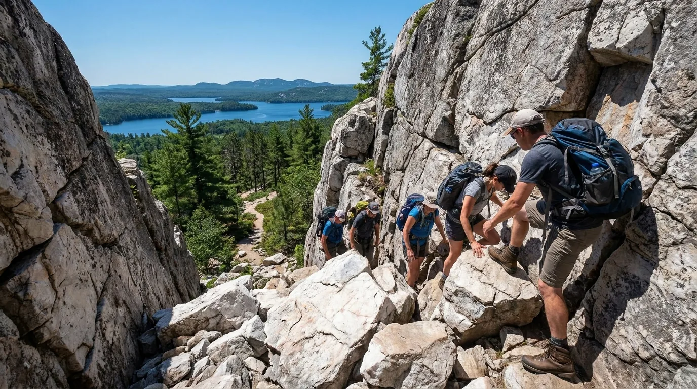
Hikers scrambling up The Crack, a steep boulder-filled gap in white quartzite rock leading to a panorama over blue lakes and the La Cloche silhouette, Killarney Provincial Park Ontario, ultrarealistic photograph representative of the region
The Crack — Killarney's iconic day hike. A steep, rugged scramble up white quartzite to a panorama over Killarney Lake and the La Cloche silhouette, routinely rated one of Ontario's best and hardest day hikes. The trailhead is off Hwy 637 — the final "crack" is a hands-on boulder climb.

Killarney — the quartzite trails

All climb the pale rock that defines the park. Distances per Ontario Parks / standard sources — confirm at the trailhead, and remember wet quartzite is genuinely slippery.

The iconic day hike · ruggedThe Crack

~6 km one section of a ~6–8 km return route, a steep rugged scramble up white quartzite to a panorama over Killarney Lake and the La Cloche silhouette. Rated one of Ontario's best and hardest day hikes. The final gap is a hands-and-feet boulder climb, not a walk.

The quartzite is slick when wet and unforgiving on ankles. Sturdy boots, a real turnaround plan, and no rush on the descent. Exact distances vary by source — confirm at the trailhead board.

~6–8 km returnSteep scrambleDistance per Ontario Parks
Half-day, hard
Boulder scramble at the top

The legend · multi-day backcountryLa Cloche Silhouette Trail

The legendary backcountry loop from George Lake, commonly cited at ~78 km (some sources say 80–100 km), typically 7–10 days, with 33 reservable backcountry sites. Named for the A.Y. Jackson painting "The Silhouette." Steep, exposed quartzite, boulder fields and route-finding — a fit-hiker, multi-day commitment.

Interior permit required; sites are reservation-specific (book up to 5 months ahead). Length varies by source — verify. Best in September for colour and no bugs. This is not a first backpacking trip.

~78 km (UNVERIFIED)7–10 daysPermit + reservation
Multi-day thru-hike
33 reservable sites

Coast & granite · family-friendlyChikanishing & Granite Ridge

Chikanishing Trail: ~3 km (~1.5 hr) loop over pink granite with big Georgian Bay and Phillip Edward Island views — also a canoe/kayak launch to the coast. Granite Ridge Trail: ~2 km loop to lookouts over Georgian Bay and the La Cloche hills, family-friendly.

Still Canadian Shield rock — uneven footing and open ledges; mind kids near drops. Beautiful, and far easier than The Crack. Great for a shorter day or a stiff evening leg.

~2–3 km loopsGeorgian Bay views
1–2 h each
Coast & ridge lookouts
The Chikanishing Trail coast, smooth wind-sculpted pink granite slabs meeting Georgian Bay with windswept white pines, blue water and distant islands, Killarney Provincial Park Ontario, ultrarealistic photograph representative of the region
The Chikanishing Trail coast — pink granite on Georgian Bay. A short loop over glacier-polished rock with big open-water and Phillip Edward Island views, and a launch point for coastal paddling. Far gentler than The Crack, and a fine evening leg or family walk (§05).

Manitoulin — the escarpment hike

Dramatic Niagara Escarpment limestone cliffs of the Cup and Saucer Trail dropping to forest and the blue North Channel and inland lakes far below, a hiker near the cliff edge with autumn maples, Manitoulin Island Ontario, ultrarealistic photograph representative of the region
The Cup and Saucer Trail, Manitoulin's signature hike. Near M'Chigeeng, its dramatic ~70 m Niagara Escarpment cliffs look out over the North Channel and Lake Manitou. Up to ~12 km of trails, with adventure-loop chains and scrambles for the bold — and easier main routes for everyone else.

Cliffs over the North ChannelCup and Saucer Trail

The island's signature hike, ~18 km east of Kagawong: up to ~12 km of trails to dramatic ~70 m Niagara Escarpment cliffs over the North Channel and Lake Manitou. Main routes are moderate; an adventure loop adds chains and scrambles for the bold.

High exposed cliff edges — keep back, mind footing and children, and skip the adventure loop in wet or icy conditions. Confirm current trail status and any Indigenous-land access notes locally.

Up to ~12 km~70 m cliff edgesModerate main routes
2–4 h
Escarpment panorama
🔴 The quartzite rule Killarney's white rock is the whole point — and the whole hazard. It is hard, slick when wet, and ankle-unfriendly, and the marquee routes (The Crack, the Silhouette) are steep scrambles with exposed rock and boulder fields, not graded paths. Wear real boots, use trekking poles, keep daily distances realistic, and don't hurry the descent. The Silhouette is a genuine multi-day commitment for fit, experienced backpackers — not a first big trip.
TrailWhereDistance*EffortThe point
The CrackKillarney (Hwy 637)~6–8 km returnHard scrambleQuartzite panorama over Killarney Lake
La Cloche SilhouetteKillarney (George Lake)~78 km loop*Expert, 7–10 daysThe legendary backcountry ridgeline
ChikanishingKillarney (off Hwy 637)~3 km loopEasy–moderatePink-granite Georgian Bay coast
Granite RidgeKillarney~2 km loopEasyBay & La Cloche lookouts, family-friendly
Cup and SaucerManitoulin (near M'Chigeeng)up to ~12 kmModerate (adventure loop harder)~70 m escarpment cliffs over the North Channel

*Distances are Ontario Parks / standard trail figures and vary by source — the La Cloche Silhouette especially (cited ~78 km up to 80–100 km). Confirm at the trailhead board. Wet quartzite is slippery; plan the descent, not just the climb.

05 / PADDLING & THE BACKCOUNTRY

World-class flatwater, ~50 lakes, and a permit to sleep out

Killarney is, first and foremost, a canoe park. Sheltered, granite-and-quartzite-lined flatwater connects around 50 lakes into one of Ontario's great interior networks — day trips from George or Bell Lake, or multi-day routes among the white ridges. But the interior runs on rules: a permit for every night, reservation-specific sites, a hard ban on cans and glass, bear-safe food storage, and no cell signal. Here's the honest version, and the outfitters who make it easy.

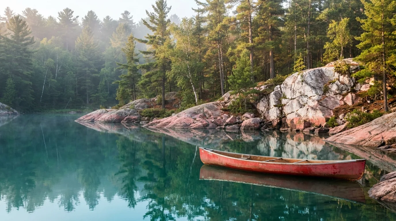
A red canoe on the calm sheltered water of George Lake, pink granite and white quartzite lined shore reflecting in the water in morning light, Killarney Provincial Park Ontario, ultrarealistic photograph representative of the region
George Lake — the paddling hub. Sheltered flatwater rimmed by granite and quartzite, and the park's main access point and permit office. Rent from Killarney Outfitters or Killarney Kanoes (at Bell Lake) and you can be on the water within an hour of arriving (§08).

The interior, plainly

  • ~183 paddle-access sites across ~50 interconnected lakes in ~645 km² of backcountry
  • Access points: George Lake, Bell Lake (major put-in, outfitter base), Hwy 6, and Chikanishing
  • Interior camping permit required; sites are reservation-specific (book up to 5 months ahead) — obtain/register at the George Lake office or designated access points
  • Day paddles from George or Bell Lake need no overnight permit — a great taste of the water without the backcountry commitment

The backcountry rules that catch people out

  • No cans, no glass bottles, no chainsaws in the interior — repackage food and drinks before you go. This is enforced, and it matters
  • Black-bear country: store food in bear-resistant containers or hung well away from sleeping areas; never in tents. Keep a clean camp
  • No cell service — carry a map/compass or GPS and ideally a satellite communicator; register your route and return date
  • Wind & cold water: big lakes turn dangerous fast — paddle mornings, hug shorelines, wear your PFD, and be ready to wait out wind
Classic routes — pick to ability and reservations

Day & overnight from George Lake

  • Sheltered flatwater right from the campground — the easiest way to sample the park's water and quartzite reflections
  • Short interior loops for a first paddle-in night, permit and reservation in hand

Multi-day from Bell Lake

  • The classic interior chain (e.g. Bell → Three Mile → Balsam → Killarney Lake area), routing to ability and site availability
  • A layover day to swim or summit-scramble; bear-safe storage, no cans/glass, full self-sufficiency

Outfit with Killarney Outfitters (ultralight Kevlar canoes, sea kayaks, shuttles) or Killarney Kanoes at Bell Lake. Confirm current reservations, permits and access-point rules with Ontario Parks before you commit to a route.

🔴 Before you push off into the interior — the non-negotiables Reserve your sites and pull your interior permit before you go, and register your route and return date. Repackage everything out of cans and glass — they're banned. Store food bear-safe, never in the tent. Assume no cell service and carry a real map plus a satellite communicator. Paddle in the morning calm, wear your PFD, and wait out wind rather than fighting a big open crossing. Standard Leave No Trace throughout — these lakes are ecologically sensitive and still recovering from acid rain.
06 / SAFETY — READ THIS FIRST

Rugged rock, bear country, big water, and respect for the land

Nothing here is exotic, but several things reward planning. The quartzite that makes Killarney beautiful is hard and slick and rolls ankles. The backcountry is bear country with no cell signal and a strict cans-and-glass ban. Georgian Bay and the big lakes turn dangerous fast with wind and cold water. Fire bans are common in dry summers. And much of this region is living Indigenous land that asks to be treated as such. Take these seriously and it's a superb, safe trip.

Terrain — the beautiful rock bites

The quartzite is hard, slick when wet, and ankle-unfriendly. The Crack and the La Cloche Silhouette are genuinely rugged — steep scrambles, exposed rock, boulder fields and route-finding.

Sturdy boots, trekking poles, and realistic daily distances matter here. On Manitoulin, the Cup and Saucer's escarpment cliffs are high and exposed — keep well back from the edge.

Slick wet quartziteReal boots, poles

Bears, wildlife & a clean camp

  • Black-bear country. Store food in bear-resistant containers or hung well away from sleeping areas; never store food in tents
  • Keep a clean camp and pack out all trash — the cans-and-glass ban is part of this
  • Moose, deer and beaver are also present — give wildlife room and never feed it
  • Fires only where permitted and when no ban is in effect — Restricted Fire Zones are common in dry Northern Ontario summers
🔴 No cell service — the backcountry, and the highway in Assume no cell coverage in Killarney's backcountry and along much of Highway 637's bush stretch. That changes how you plan: carry a map and compass or GPS, ideally a satellite communicator, register your route and return date at the George Lake office, and don't count on calling for help from an interior lake. A rescue in this country is not quick. Self-sufficiency isn't a nice-to-have here — it's the plan.

Water & weather

Georgian Bay and the larger lakes can turn dangerous fast with wind and cold water. Carry PFDs, check forecasts, hug shorelines, and be ready to wait out wind. Cold-water immersion is a real risk in spring and fall — the water stays cold long after the air warms. Plan open crossings for the morning calm.

Wind builds afternoonsCold-water risk spring/fall

Fire bans & Leave No Trace

Northern Ontario Restricted Fire Zones are common in dry summers and can ban open fires entirely — check for an active ban before any campfire and carry a stove. Standard Leave No Trace throughout: these lakes are ecologically sensitive and still recovering from 20th-century acid rain. Pack out everything.

Check the fire zone weeklySensitive lakes — LNT
Respect Indigenous land & culture Manitoulin and the adjacent mainland include Wiikwemkoong Unceded Territory — one of the few reserves in Canada never surrendered by treaty — and other First Nations. Sacred and cultural sites deserve respect. Access some areas — Wiikwemkoong lands, the mainland Point Grondine Park near Killarney — through their tourism operators, follow their guidance, and don't remove artifacts or disturb sites. The best way to experience the island's culture is with Indigenous-led guides who choose to share it (§08). Confirm current access and booking directly with the operators.
07 / THE CAMPING STRATEGY

One developed campground, roofed units, and the island's options

Camping here sorts into four buckets: Killarney's single developed car-camping campground at George Lake (plus its heated yurts and cabins), the permit-only backcountry (§05), the private and municipal campgrounds on Manitoulin, and the nearby provincial parks that make good staging points. Reserve Ontario Parks sites and roofed units up to five months ahead — and treat every fee and exact site count below as confirm-before-you-go, because the research could not verify them.

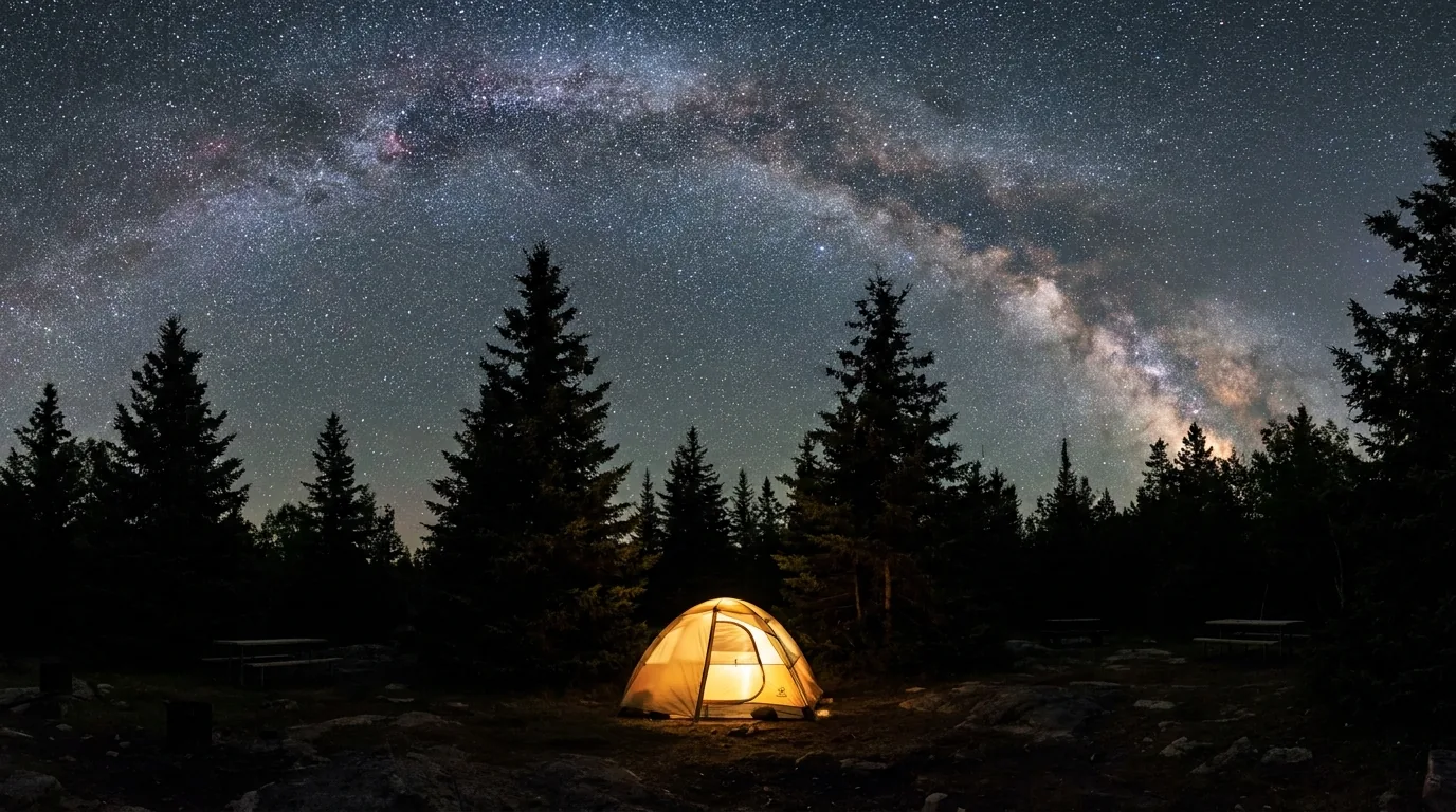
A brilliant Milky Way and dense stars over a dark-sky preserve campground with silhouetted spruce trees and a single glowing tent, Gordon's Park Manitoulin Island Ontario, long-exposure night photograph representative of the region
Gordon's Park, a designated Dark-Sky Preserve. On southeast Manitoulin at Tehkummah, RASC-designated since 2008, with on-site astronomy programming and a dedicated dark-sky tent area. One of Ontario's best stargazing sites — a very different night from a Killarney interior camp, and easier to reach (§09).
CampgroundArea · managerSites / typeSeason*NotesFee*
George Lake Killarney PP · Ontario Parks ~126 (UNVERIFIED); some electrical year-round (walk-in ~late Nov–early May) Flush toilets, showers, dump station, beach; "D" loop radio-free UNVERIFIED
Killarney Yurts (Y1–Y6) Killarney PP (George Lake) · Ontario Parks 6 heated yurts, sleep up to 6 year-round Lighting + outlet, propane BBQ, bunks; 2-night min; dogs in Yurt 6 only UNVERIFIED
Rustic Cabins (137 & 138) Killarney PP · Ontario Parks 2 cabins, sleep 5 check with park Kitchenette; 2-night min; pets in cabin 138 only UNVERIFIED
Interior / backcountry Killarney PP · Ontario Parks ~183 paddle-in + 33 La Cloche hike-in reservation-specific Interior permit; no cans/glass/chainsaws permit fees apply
Gordon's Park Eco Resort Tehkummah, Manitoulin (Hwy 6) · private tent, RV hookups, tipis, bunkies seasonal (~spring–fall) Dark-Sky Preserve; eco-showers, flush toilets, astronomy programs UNVERIFIED
Batman's Cottages & Campground Sheguiandah, Manitoulin · private ~142 serviced pull-through + cottages seasonal On Sunset Beach; family-run since 1969; La Cloche views UNVERIFIED
Providence Bay Tent & Trailer Park Providence Bay, Manitoulin · municipal (UNVERIFIED operator) ~250 sites; electric & water seasonal Borders the ~2 km sand beach & boardwalk; dump station UNVERIFIED
Wiikwemkoong / Point Grondine Wiikwemkoong Tourism · Indigenous-led backcountry sites, canoe routes, trails check with operator Book via Wiikwemkoong Tourism; incl. mainland Point Grondine Park UNVERIFIED
Chutes PP near Massey (off Hwy 17) · Ontario Parks 130 sites, 79 electrical seasonal Flush toilets, showers, laundry, dump; waterfall. Good staging point UNVERIFIED
Windy Lake PP N of Sudbury (off Hwy 144) · Ontario Parks 93 sites, 56 electrical seasonal Flush toilets, showers, laundry, sandy beach. Staging point UNVERIFIED

*Seasons, site counts and all fees are compiled from Ontario Parks, RASC and operator listings and vary by source and by year. The dossier flagged every dollar figure and exact site count as unverified — George Lake's ~126 sites especially. Book by site on reservations.ontarioparks.com or with the operator and read the actual price and unit type. Interior grounds are permit-only (§05).

Which base for which trip

  • Killarney car camping: George Lake — the only developed option, and the hub for everything. Book early; fall weekends sell out
  • Shoulder-season comfort: a heated yurt or cabin at George Lake — open into the cold months for snowshoeing and quiet
  • Backcountry: paddle-in interior or the La Cloche Silhouette hike-in sites — permit only, reservation-specific (§05)
  • Manitoulin base: Gordon's Park (dark sky), Batman's (beach), or Providence Bay (the big beach) — and Wiikwemkoong for an Indigenous-led backcountry experience
  • Staging between the two: Chutes PP (Massey) or Windy Lake PP (north of Sudbury)

Booking & the rules that catch people out

Reserve Ontario Parks sites, yurts, cabins and interior sites up to five months ahead at reservations.ontarioparks.com — Killarney's limited inventory and popularity mean the good dates go early, and fall weekends sell out.

George Lake becomes walk-in (gates closed) roughly late November to early May — the yurts stay heated and open year-round, but the drive-in campground does not. On Manitoulin, private campgrounds are seasonal — confirm opening dates before you rely on one.

Book 5 months aheadGeorge Lake walk-in in winter
A note on the private & municipal listings Gordon's Park, Batman's, Providence Bay and the Wiikwemkoong backcountry are real operations whose own sites and tourism listings we drew on, but we confirmed no fees and some operator details (Providence Bay's operator among them). Season, pricing and availability change — and additional island parks around Gore Bay and Sheguiandah exist that we could not verify and have not listed. Confirm directly with each operator before you count on a site.
08 / TOWNS, OUTFITTERS & CULTURE

The village docks, the island towns, and Indigenous-led tourism

Killarney village is tiny but complete — fuel, groceries, an LCBO, lodges, outfitters and the famous fish-and-chips docks. Manitoulin spreads its services across a handful of towns from Little Current to Gore Bay, and its deepest offering is cultural: Indigenous-led hikes, paddles and storytelling from an Anishinaabe perspective. All of the operators below are real, currently-trading businesses; season, pricing and menus change, so we link and describe rather than quote prices.

Bridal Veil Falls in Kagawong, a wide veil-shaped waterfall over a limestone ledge into a clear green pool surrounded by lush forest and mist, Manitoulin Island Ontario, ultrarealistic photograph representative of the region
Bridal Veil Falls, Kagawong. An ~11 m veil-shaped falls on the Kagawong River, with an easy accessible trail linking it to the village's shops, art and heritage plaques, and a pool at the base you can swim in. Manitoulin Chocolate Works is steps away (§04).

Killarney village & park gateway

  • Killarney Outfitters — full canoe/kayak trip outfitting & rentals (ultralight Kevlar Souris River canoes, sea kayaks), gear and shuttles; rents from Bell Lake and the park canoe beach
  • Killarney Kanoes — at the Bell Lake access inside the park: canoe rental & outfitting, in season
  • Herbert Fisheries — the village docks: fresh Georgian Bay whitefish & the famous fish-and-chips (the red chip truck by the channel)
  • Killarney Mountain Lodge & Sportsman's Inn — historic waterfront lodges with rooms, dining and marinas
  • Killarney Co-op — supermarket, fuel (reported 24/7 pay-at-pump) and LCBO

Herbert Fisheries, Sportsman's Inn and some operator details were unconfirmed — check current websites before you rely on them.

Manitoulin Island

  • Wiikwemkoong Tourism — Wiikwemkoong Unceded Territory: Indigenous-led cultural tours, guided hikes and paddles, backcountry (incl. Point Grondine)
  • Manitoulin Chocolate Works — Kagawong: handmade chocolates, coffee and treats, steps from Bridal Veil Falls
  • The Garden's Gate Restaurant — Tehkummah: farm-to-table dining in an 1800s farmhouse
  • Burt Farm Country Meats — Gore Bay area: family farm, locally raised meats, farm-store & markets
  • Manitoulin Hotel & Conference Centre — Little Current: a base for touring; Ten Mile Point Trading Post for souvenirs at the lookout

Ten Mile Point Trading Post and Manitoulin Hotel ownership details were unconfirmed — verify current hours/URLs before visiting.

The cultural heart of the island — go with those who share it Manitoulin's deepest offering isn't a viewpoint — it's living Anishinaabe culture. Wiikwemkoong Tourism and other Indigenous-led operators offer guided hikes, canoe trips, culinary and storytelling experiences, and interpretive and reconciliation programming from an Anishinaabe perspective. It's also the right way to access some of the island's land and the mainland's Point Grondine Park. Book directly, follow their guidance on sacred sites, and treat the invitation as exactly that. This is the experience most first-time visitors skip and most repeat visitors come back for.
Getting there — the drive numbers Killarney is roughly 4 hours (~290 km) north of Toronto and about 1 hour southwest of Sudbury via Hwy 17 and Hwy 637. Manitoulin's north entry is Hwy 6 south from Espanola over the Little Current swing bridge; its south entry is the Chi-Cheemaun ferry from Tobermory. Confirm current drive times and any highway or bridge notices with live mapping — and remember the ferry is seasonal and the backcountry has no signal.
09 / TIMING

When to go — fall wins, and the bugs decide spring

This region has one clear marquee season and one honest warning. The marquee is fall: mid-September to mid-October, when the maples turn against white quartzite and blue water, the crowds thin, and — crucially — the bugs are gone. The warning is the bug calendar, which makes late spring genuinely hard in the backcountry. Summer is warm, busy and beautiful but buggy early and windy on the water; winter is cold, remote and ferry-less. If you want one answer, aim for September.

Season by season, straight

  • Fall (mid-Sept–mid-Oct) — the marquee. Peak colour on the maples and oaks against white quartzite; crowds thin after Labour Day; bugs essentially gone by mid-September. Book roofed units and popular backcountry sites early — fall weekends sell out
  • Summer (late Jun–Aug) — warm, busy, windy midday. Warmest water, all services and the Chi-Cheemaun running, longest days. Busiest; reserve well ahead; afternoon winds build on the open water — paddle mornings
  • Spring (May–Jun) — the bug window. Black flies peak mid-May to mid/late June; mosquitoes strong June into July. Backcountry trips need head nets, bug shirts and DEET. Expect the worst of it
  • Winter (~late Nov–Apr) — quiet, cold, ferry-less. George Lake goes walk-in only; heated yurts stay open for snowshoeing and backcountry skiing. The Chi-Cheemaun does not run — Manitoulin is reachable only via the swing bridge. Self-sufficiency essential

Bugs, water & dark skies

  • Bug honesty: late-spring hikers and paddlers should expect the worst — head nets and DEET are not optional in the interior. Bugs taper through July–August and are gone by mid-September
  • Water timing: warmest for swimming and paddling in high summer; cold-water immersion risk in spring and fall. Plan open crossings for the morning calm year-round
  • Dark-sky viewing: Manitoulin (Gordon's Park) and Killarney have low light pollution — new-moon nights spring through fall are best. Program dates unverified — confirm with Gordon's Park
  • Fall books out: the best season is also the tightest for reservations — lock roofed units and popular sites months ahead
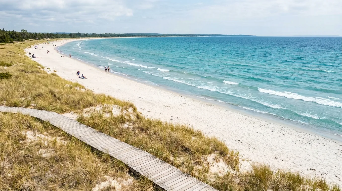
Providence Bay beach and its wooden boardwalk, a long crescent of white sand meeting the clear blue water of Lake Huron with dune grass and gentle waves in summer, Manitoulin Island Ontario, ultrarealistic photograph representative of the region
Providence Bay, the island's premier beach. A ~2 km crescent of white sand and boardwalk on Lake Huron — Manitoulin's best swimming beach, and warmest in high summer. A soft counterpoint to Killarney's hard rock, and a good place to run out the buggy end of a spring trip.
The one-paragraph answer Go in September. Mid-September to mid-October gives you the Group-of-Seven colour on the maples against white quartzite and blue water, thinned crowds, and — the clincher — no bugs. If you want warm water for swimming and paddling, high summer works but reserve early, paddle mornings, and accept crowds. Avoid late spring for the backcountry unless you're ready for black flies. Winter is a quiet, self-sufficient trip with heated yurts and no ferry. Whatever you pick: book roofed units and popular sites months ahead, and confirm the ferry season if you're crossing.
10 / THE SHAPE OF THE TRIP

Five ways to run it, from a weekend to the full circuit

Workable shapes, not the only ones. The first is a Killarney car-camping weekend; the last strings both landscapes into one Great-Lakes-and-Shield arc. Pick to your time and appetite — but keep every backcountry trip permitted and self-sufficient, book the ferry ahead if you're looping, and aim for the fall shoulder if you can.

A

Killarney weekend + The Crack

  1. Drive Hwy 17 → Hwy 637 to George Lake; set up at the campground (or a yurt in shoulder season).
  2. Hike The Crack early, then a relaxed afternoon paddle on George Lake (rent from the outfitters).
  3. Dinner of Herbert Fisheries fish & chips in the village.
  4. Short hikes — Chikanishing and Granite Ridge — for Georgian Bay views before heading home.
2–3 days, car campingNo backcountry permit
B

La Cloche backcountry paddle

  1. Interior permit + reservation in hand; put in at Bell Lake.
  2. Loop the classic interior chain (Bell → Three Mile → Balsam → Killarney Lake area), routing to ability.
  3. A layover day to swim or summit-scramble among the quartzite ridges.
  4. Bear-safe storage, no cans/glass, no cell — full self-sufficiency. Outfit with Killarney Outfitters.
4–7 days, canoe-inPermit required
C

La Cloche Silhouette thru-hike

  1. The full ~78 km loop from George Lake over the white quartzite ridgeline (length varies by source).
  2. 33 reservable backcountry sites — book up to 5 months ahead, interior permit rules apply.
  3. For fit, experienced backpackers only — steep, exposed, slow going.
  4. Best in September for colour and no bugs. Not a first big trip.
7–10 days, expertLength UNVERIFIED
D

Manitoulin island loop w/ ferry

  1. Enter north via Hwy 6 and the Little Current swing bridge. Base at Gordon's Park (dark sky) or Providence Bay (beach).
  2. Hit Cup and Saucer, Bridal Veil Falls/Kagawong, Ten Mile Point, and a Wiikwemkoong cultural tour.
  3. Dinner at Garden's Gate; a night under the dark sky.
  4. Exit south on the Chi-Cheemaun (South Baymouth → Tobermory) — a true loop. Reserve the vehicle ferry ahead.
3–4 days, road tripBook the ferry
E

The full North-Shore circuit

  1. Toronto/Sudbury → Killarney (Itinerary A) → stage at Chutes PP (Massey).
  2. Cross to Manitoulin via the Little Current swing bridge; run the island loop (Itinerary D).
  3. Exit on the Chi-Cheemaun to Tobermory to continue down the Bruce Peninsula.
  4. Combines Killarney's wilderness with Manitoulin's culture-and-coast road trip in one arc — no backtracking.
7–10 days, combinedBridge in, ferry out
+

The comfort variant

  1. Not up for a tent? Heated yurts or cabins at George Lake run year-round — a warm base for day hikes and paddles.
  2. On the island, base in a lodge or the Manitoulin Hotel and day-trip the sights.
  3. Keep the hard hikes (The Crack, Cup and Saucer) as day objectives; skip the multi-day backcountry.
  4. Great for a mixed group, kids, or a shoulder-season trip when nights are cold.
Roofed comfortDay-trip the hard stuff
11 / TRIP-READY

The departure check

Run it before you leave. Tap each item as it's done — these are the ten things specific to Killarney and Manitoulin that a general road-trip habit will skip. Most come back to the same handful of facts: the island crossing is seasonal, the backcountry is permitted and off the grid, and the bugs and the water both run on a calendar.

0 / 10 confirmed — the water and the bugs set the schedule.
12 / QUICK ANSWERS

Asked at every George Lake gatehouse

How do I get onto Manitoulin Island?
Two ways. From the north, Hwy 6 south from Espanola crosses the Little Current Swing Bridge — a one-lane 1913 span that's the only fixed road link and, in summer, swings open for boats on a schedule (historically ~15 min at the top of the hour). From the south, the Chi-Cheemaun car ferry runs Tobermory–South Baymouth roughly early May to mid-October, letting you make a loop. The bridge is year-round; the ferry is not. Reserve the vehicle ferry ahead in summer and confirm the 2026 schedule and fares at ontarioferries.com.
What's the white rock, and why does it look like snow?
The La Cloche Range is quartzite — a hard, pale, quartz-rich rock so white it can look snow-capped in full summer. Against pink granite and clear turquoise lakes, it's the landscape that helped inspire the Group of Seven; A.Y. Jackson and others painted here, and O.S.A. Lake and A.Y. Jackson Lake carry the legacy. It's also why the hiking is rugged: the quartzite is hard and slick when wet.
Do I need a permit to camp in the backcountry?
Yes. Every overnight canoe or backpacking trip needs an interior camping permit, and sites are reservation-specific (book up to 5 months ahead) through Ontario Parks. There are ~183 paddle-access sites across ~50 lakes plus 33 sites along the La Cloche Silhouette loop. Access points include George Lake, Bell Lake, Hwy 6 and Chikanishing. Cans, glass and chainsaws are banned, it's bear country, and there's no cell service — register your route at the George Lake office.
When are the bugs bad?
Black flies peak mid-May to mid/late June; mosquitoes are strong June into July. Late-spring backcountry trips genuinely need head nets, bug shirts and DEET. Bugs taper through July–August and are largely gone by mid-September — which, with the fall colour, is why September–October is the season to aim for.
Is there really only one campground in the park?
For car camping, essentially yes: George Lake is the only developed campground and the permit/office hub (flush toilets, showers, some electrical, dump station, beach). Everything else is roofed (6 heated yurts, 2 cabins) or backcountry (permit only). Nearby options include Gordon's Park and Batman's on Manitoulin, Providence Bay's municipal park, and Chutes (Massey) and Windy Lake (north of Sudbury) as staging points. Reserve up to 5 months ahead; treat all fees and counts as confirm-before-you-go.
How much does the Chi-Cheemaun cost, and when does it run?
It runs roughly early May to mid-October, crossing in ~1 hr 45 min to 2 hrs. Peak-summer sailings have historically left Tobermory 9 a.m./1 p.m./5 p.m. and South Baymouth 11 a.m./3 p.m./7 p.m. Sample 2026 one-way fares seen were ~$18 adult and ~$15.60 senior, vehicle charged separately, ~$10 terminal parking — but we flag those as unverified. Book a vehicle reservation and confirm current fares/schedule at ontarioferries.com.
What should I know before visiting the island's Indigenous communities?
Manitoulin and the adjacent mainland are home to several First Nations, most notably Wiikwemkoong Unceded Territory — one of the few reserves in Canada never surrendered by treaty. Much of the island's culture and backcountry (including mainland Point Grondine Park) is best experienced through Wiikwemkoong Tourism and other Indigenous-led operators. Access some areas only through them, follow their guidance, respect sacred sites, and don't remove artifacts. The name comes from Manitou, the Great Spirit.
Is Killarney a good first backpacking trip?
The day hikes (The Crack, Chikanishing, Granite Ridge) and day paddles, yes — superb and accessible from George Lake. But the La Cloche Silhouette Trail is not a first big trip: ~78 km (length varies by source), 7–10 days, steep exposed quartzite, boulder fields and route-finding, for fit, experienced backpackers. For a first paddle-in night, book a short interior loop with a permit and reservation instead.
Can I visit in winter?
Yes, but plan for it. George Lake goes walk-in (gates closed) roughly late November to early May, though the heated yurts stay open year-round for snowshoeing and backcountry skiing. Critically, the Chi-Cheemaun does not run in winter — Manitoulin is reachable only via the swing bridge. It's cold, snowy and remote; self-sufficiency is essential.
13 / WHAT WE COULD NOT CONFIRM

The honest gaps, all in one place

Every guide has these; most don't print them. Fees, ferry fares and exact site counts here change yearly, and several operator and trail details resisted verification — so some numbers are estimates, and we've flagged them in place. Everything below was compiled 23 July 2026 and should be re-checked against the linked official source before you rely on it.

Why this section exists Anyone can write a guide that sounds certain. The hard part is knowing which numbers are real — and in a region where the ferry is seasonal, the fares change yearly, the backcountry has no signal, and one famous trail's length is disputed by 20 kilometres, plenty of them need a same-week check. The flag is the product. "Reserve the ferry and confirm the fare," "pull an interior permit and repackage the cans and glass," and "carry a satellite messenger" are usable instructions. A confident wrong answer here costs a missed sailing, a turned-away campsite, or a night out of contact with no plan.
🔒

The printable field guide

Everything above, condensed into a print-ready PDF built for the glovebox — for a region where the island crossing is seasonal, the backcountry has no cell signal, and the bugs and the water both run on a calendar. The two ways onto Manitoulin decoded, George Lake and the permit-only interior, The Crack and the La Cloche Silhouette at honest numbers, the paddling and the cans-and-glass rules, the island's cliffs, falls, beaches and Indigenous-led tourism, the campgrounds by area, the bug and dark-sky calendar, and the honest list of what nobody could confirm — on paper that works where the bars don't.

The ferry & swing bridge, decoded George Lake & the interior The Crack & La Cloche Silhouette Paddling & backcountry rules Manitoulin cliffs, falls & beaches Indigenous-led tourism The bug & dark-sky calendar The departure check
Unlock the PDF — $4.95
$4.95 per guide · Instant access · Built by people who actually camp there
Trail Journal No. 058

Go farther. Camp lighter.
Leave it better.

Every Trekkr Trail Journal is built like this one: custom logistics, honest trail beta, the camping and access detail, and the local knowledge that turns a good trip into the one your crew talks about for years — including, always, a plain list of what we could not confirm. New destinations drop all season long, from the Colorado Rockies to the Utah canyons to the Great Lakes and the Canadian Shield.

Unlock the Trail Journal Library
↗ Read another issue — No. 051, Grand Canyon National Park
$4.95 per guide · Instant access · Built by people who actually camp there