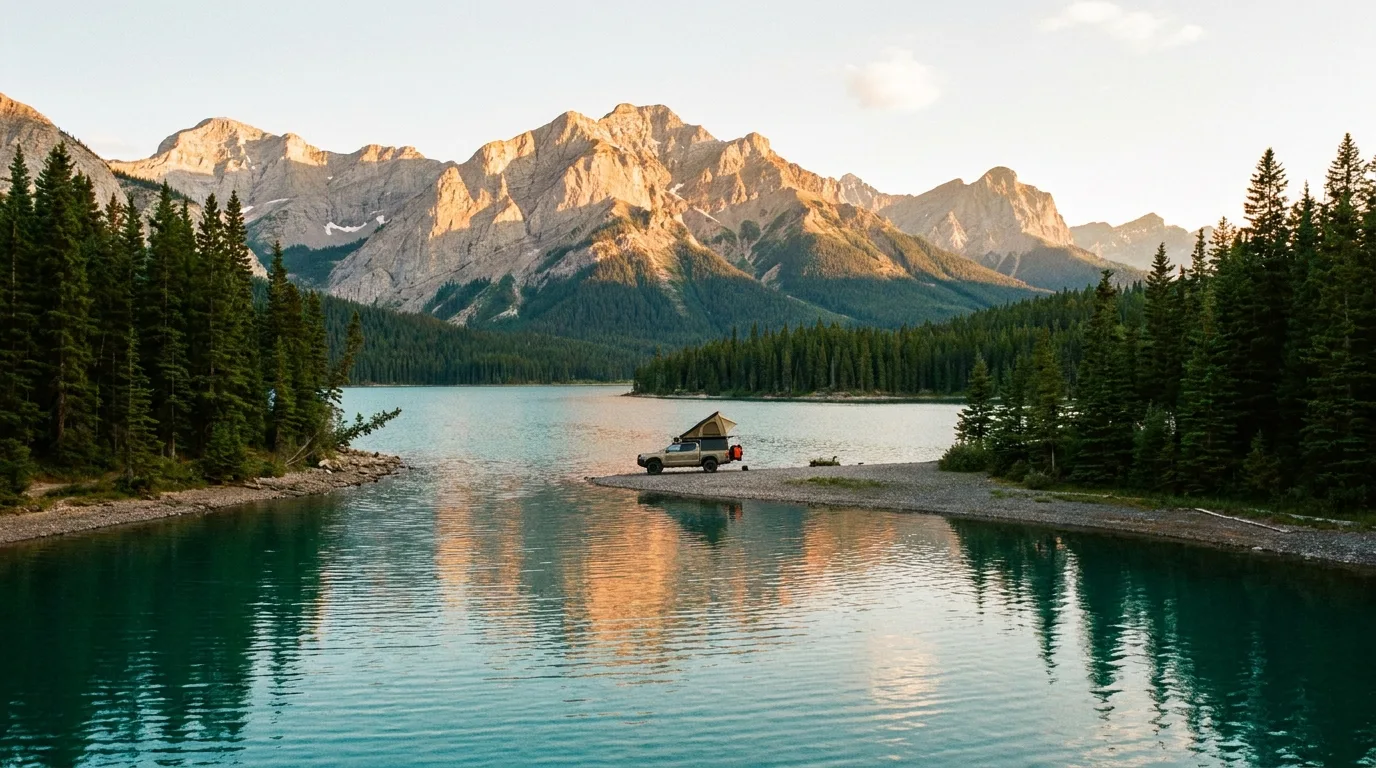
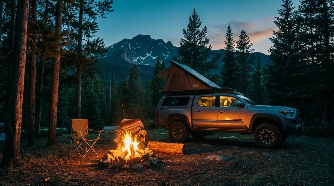
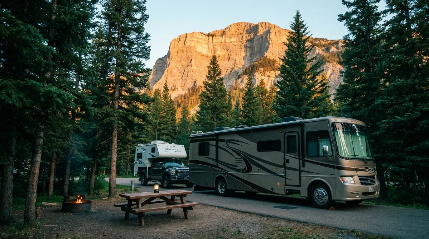
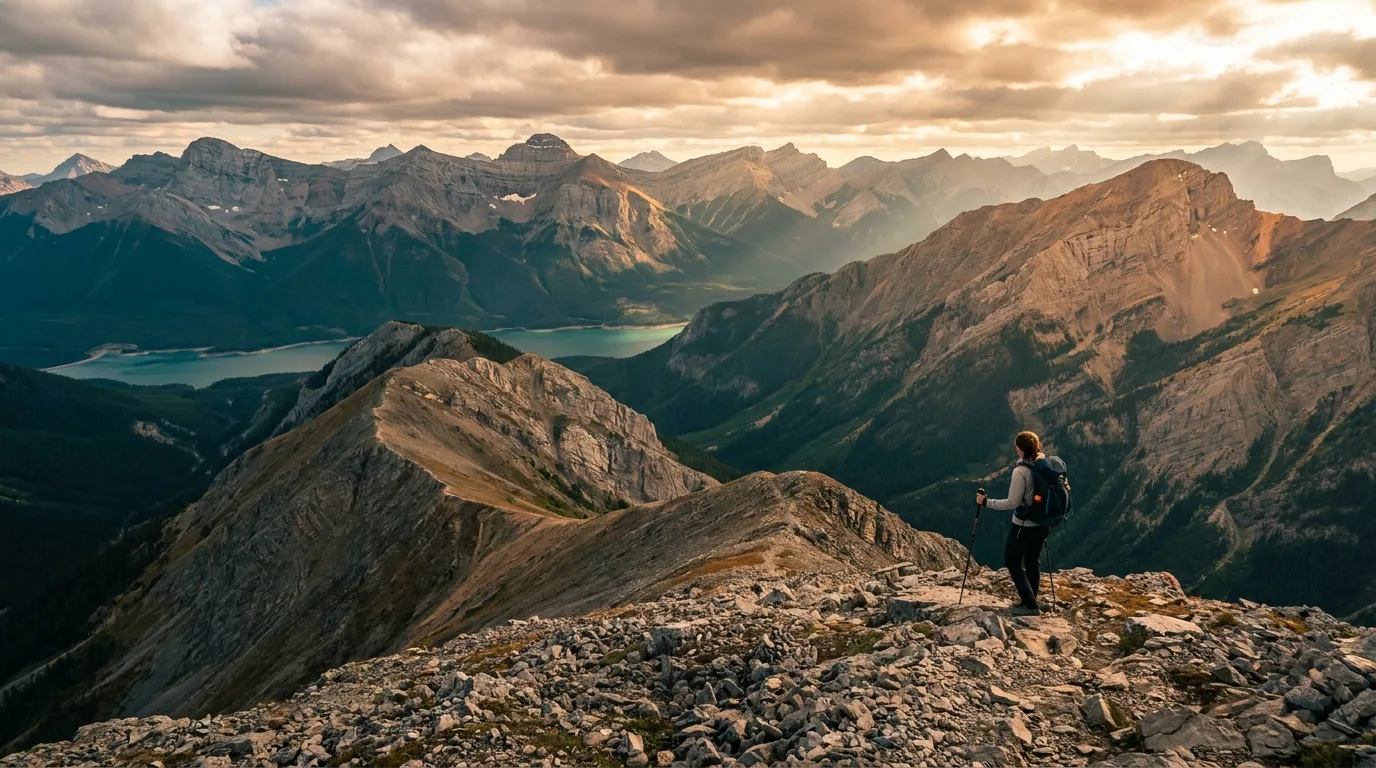
An hour from Calgary and a world away from the national park queues. Turquoise reservoirs, the highest paved road in Canada, and grizzly density high enough to change how you camp. Alberta's best mountain playground — taken apart.
Two hits landed in five weeks: a rockslide severed the Canmore approach, then a flood tore through the valley. Both are still shaping trips as this issue ships. The rest of this journal is evergreen — this box is not. Check the live sources before you commit to anything below.
Kananaskis Country is not one park. It's a 4,000-square-kilometre patchwork of provincial parks, wildland parks, recreation areas and public land use zones stitched together along Highway 40, an hour west of Calgary. Peter Lougheed and Spray Valley are the crown jewels. Bow Valley guards the north gate. McLean Creek is where the throttle lives. Each has its own rulebook, and the boundaries are invisible from the driver's seat.
That patchwork is the whole appeal. You get Banff's scenery without Banff's shuttle buses, ticketed parking lots and reservation lottery. What you get instead is a pass you must buy before you park, a fuel gap that has stranded better-prepared people than you, a road that's locked half the year, and a grizzly density that makes casual food storage a genuinely bad idea.
The Kananaskis Conservation Pass is the single thing visitors get wrong most often. It is not a camping fee, there is no booth to stop at, and nobody will remind you. Plate-scanners will.
| Personal · day | $15 |
| Personal · annual | $90 |
| Commercial ≤15 seats · day / year | $22.50 / $135 |
| Commercial >15 seats · day / year | $30 / $180 |
Priced per vehicle, not per person — a full carload pays $15 total. The annual runs 365 days from purchase and covers up to three vehicles — but they must all be registered to the same address, which is the part that catches carpooling groups out. Rates haven't moved since 2021.
One highway runs the spine, three side roads branch off it, and each one closes on its own schedule. Learn this shape and Kananaskis stops being confusing. A schematic planning map: navigate with an offline topo, not this page.
Here's the thing that surprises everyone coming from Abraham Lake or the Forestry Trunk Road: you cannot pull over and camp in Kananaskis Country. Not anywhere. The freedom is elsewhere.
Marked sites, toilets, managed access, some with showers and hookups. Reservable through Alberta Parks, some first-come loops. This is where nearly all Kananaskis camping happens, and for good reason.
Mount Kidd RV Park, essentially. Books direct, open all year, full amenities, and the only serious option in the valley in deep winter. Priced accordingly.
McLean Creek is the practical one — and it’s an OHV zone. Its campground charges a nightly fee, so no pass of either kind is needed to stay in it. A Public Lands Camping Pass is only for random camping in the zone. The Ghost, outside K-Country proper, is your real random-camping option.
2026 fees: $31 basic, +$8 per hookup ($47 power+water, $55 full), backcountry $12/person, plus a $12 reservation fee. The window opens at 9:00 am MT, 90 days ahead for individual sites (10-night max) and 180 days for groups. Book at shop.albertaparks.ca or 1-877-537-2757. Mount Kidd is the exception — it books direct.
Reliable signal exists at Kananaskis Village and around the Canmore Nordic Centre. Alberta also lists select day-use areas off Highways 1, 1A and 1X. Everything else — Highways 68, 742, 66, 546, 541, 532 and all of Highway 40 South including Peter Lougheed — is not covered. Download offline maps and buy your Conservation Pass before you lose bars. Carry a satellite communicator and leave your route and return time with someone at home.
Four in the Kananaskis Valley and Peter Lougheed, one on the Smith-Dorrien, one in the OHV country east of Bragg Creek. Confirm current services, site lengths and opening dates when booking — everything out here is seasonal, and Alberta Parks' own pages can be years out of date.
| Basecamp | Where | Style | Pick it for | Watch for |
|---|---|---|---|---|
| Mount Kidd RV | Hwy 40, Kananaskis Valley | Private · 229 sites · books direct | The most full-featured base in K-Country, and the only serious all-year option. Pool, showers, laundry, store. | Priciest at ~$40–$60 +GST. Book at mountkiddrv.com — note mountkiddrvpark.com is a squatted spam domain. 403-591-7700 |
| Boulton Creek | Peter Lougheed PP | 161 sites · $31 / $47 / $55 · reservable | The corridor's flagship: the only sewer campground in K-Country, showers, trading post, lake trails at the door. | Season ~May 8–Oct 13. Hard-sided order active — call 403-591-7226 before booking a tent site |
| Elkwood | Peter Lougheed PP | 130 sites · $31 / $47 · reservable | Big, treed, central to the Kananaskis Lakes trails. The sane fallback when Boulton is full. | Season ~May 7–Oct 11. Comfort station and Loops C/D currently closed |
| Interlakes | Peter Lougheed PP · Kananaskis Lakes | 48 sites · $31 · first-come | Straight-up lakeshore camping between Upper and Lower Kananaskis Lakes. The view is the whole product. | Season ~May 14–Oct 11. First-come means arrive Thursday, not Friday night |
| Bow Valley | Bow Valley PP, off Hwy 1 | 174 sites · $31 / $47 · reservable | The north-gate base with showers. Closest to Calgary, best for a late Friday arrival and a Barrier Lake weekend. | Season ~Apr 30–Oct 11. Trans-Canada noise is real. KCP still required. 403-673-2163 |
| McLean Creek | McLean Creek PRA, near Bragg Creek | 170 sites · year-round* | The throttle base. Ride from camp into the only summer OHV zone in K-Country. No Conservation Pass needed. | Posted rates are stale — budget ~$31/$39 and confirm. *McLean Creek Road gates Dec 1–Apr 30, so "year-round" and the road calendar don’t obviously agree — call 403-949-3132 |

Seven profiled routes from stroller-flat to eight hundred metres of relentless. Alberta Parks publishes almost no official distances or difficulty ratings, so these figures are compiled from established route descriptions and cross-checked where sources disagree — GPS recordings vary, and so do the guidebooks.
| Trail | Level | Distance | Gain | Time | Status |
|---|---|---|---|---|---|
| Troll Falls | ~3.5–5 km return | ~60–70 m | 1–1.5 hr | Partial closure | |
| Ptarmigan Cirque | ~4.5 km return | ~210 m | 2–3 hr | Open | |
| Chester Lake | ~9.2 km return | ~300 m | 3–4 hr | Open | |
| Elbow Lake | Short — see note | Modest | 1.5–2 hr | Figures unverified | |
| Burstall Pass | ~14.8 km return | ~470 m | 5–6 hr | Open | |
| Tent Ridge Horseshoe | ~10.4–10.6 km loop | ~780–794 m | 4–6 hr | Bear warning | |
| Ha Ling Peak | ~7.8 km return | ~810 m | 3–4 hr | Access severed |
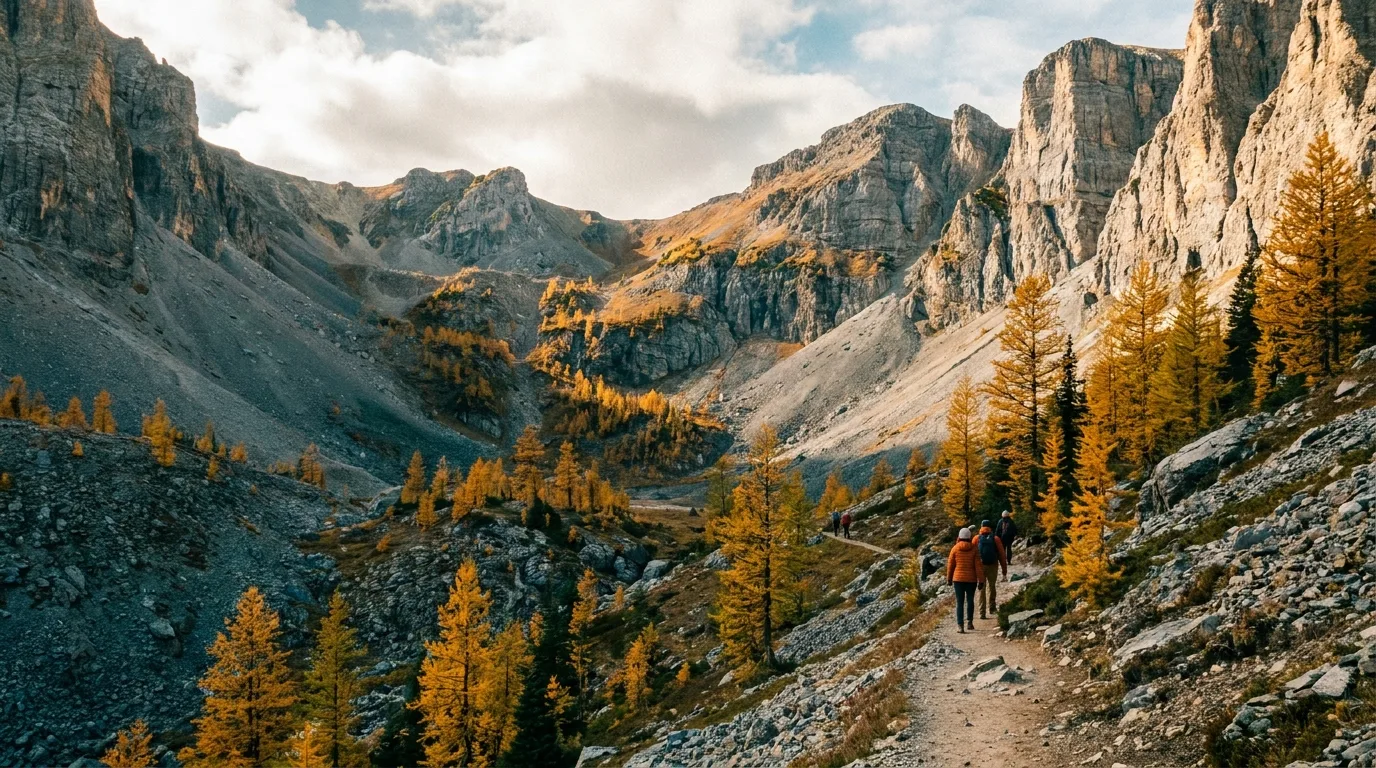
A short, steep, wildly high-value loop into a hanging alpine cirque straight off the highest paved road in Canada. You start at 2,206 m, so you're in the alpine from the car park — meadows, marmots, fossils in the scree and a headwall of limestone all around. In the last week of September the larches go off and this becomes the busiest 4.5 km in Alberta.
MAIN CAUTION: the trailhead is Highwood Meadows day use and you must cross Highway 40 on foot. No roadside parking — and the road itself only exists Jun 15–Nov 30. Alpine weather turns fast at this elevation. Sources conflict on the figures (4.5 km/210 m vs 3.6 km/267 m); either way it's short and steep.
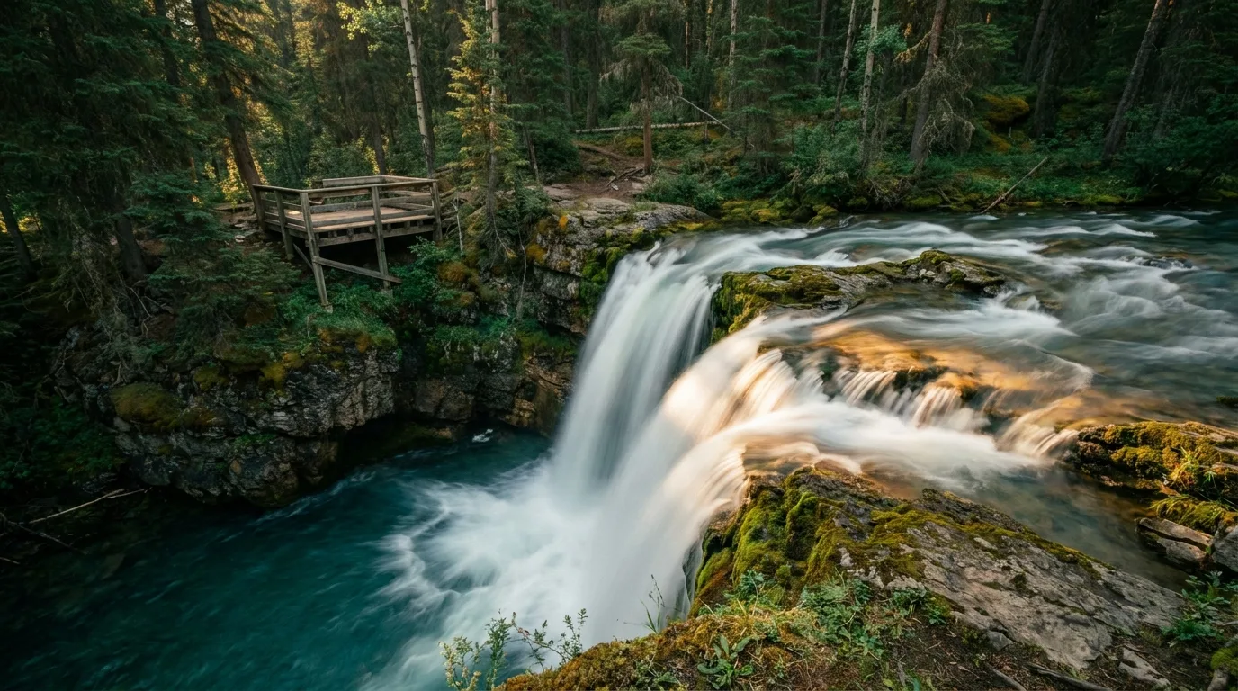
A flat, wide, forested walk from the Stoney trailhead near Kananaskis Village to a broad waterfall spilling over a rock lip. Strollers manage it, kids love it, and it's the right call for arrival day or a weather day. In deep winter the falls freeze into a blue curtain and the walk gets better, not worse.
MAIN CAUTION: flood damage — the upper falls are closed beyond Marmot Falls and the direct route to Troll has been barricaded for rockfall. Check the trail report. Sources conflict badly on distance (1.4 km one-way vs "about 5 km there and back") depending on which trailhead you use.
A steady forest climb on an old logging road that opens into meadows and then a proper subalpine lake sitting under the slab face of Mount Chester. The gradient is honest rather than cruel, the meadows are full of wildflowers in July, and the larches turn in late September. This is the substitute for Rawson Lake while Rawson is closed — and it's arguably the better lake anyway.
MAIN CAUTION: the bridge at the lake outlet has washed out. Trailhead is off Hwy 742 from the south only while Canmore Hill is severed. Seasonal closure runs May 1–Jun 29 annually.
The corridor's classic big day. Old road, then lakes, then a braided gravel flat you have to wade across, then a climb through larch to a pass on the Continental Divide with Banff spread out on the other side. The distance does the work, not the gradient. Larch season here is as good as Larch Valley without the shuttle bus.
MAIN CAUTION: Alberta Parks warns "flowing water may cover the trail through Willow Flats" — bring shoes you can soak. Elevation gain is disputed (470 m official vs 480/650/674 m third-party); assume the higher end for planning. Hwy 742 access, south approach only.
A horseshoe of ridgeline that curls around a high bowl and hands you Spray Lakes, the Divide and half of Banff in one 360° turn. It is the best ridge walk in the corridor and it is completely unofficial — it does not appear on Alberta Parks' trail list at all. There's no maintained tread in places, no signage, and roadside parking only. Go clockwise, and don't commit to the ridge in weather.
MAIN CAUTION: exposure, route-finding and no official status means no official rescue expectations. Active bear warning — a grizzly here has been approaching to within a metre and is fixated on dogs. Leave the dog at home for this one.
A relentless, hugely popular grind up the back of the peak that looms over Canmore, on a trail that’s been rebuilt and hardened to cope with the traffic. The summit drops away to the town far below in one of the great cheap-thrill views in the Rockies. The trail is maintained to the 3.5 km saddle; the final 400 m and 103 m of gain to the true summit are unmaintained and exposed.
MAIN CAUTION: the Canmore approach is severed. Highway 742 has been closed at Canmore Hill since June 2026 — to vehicles, bikes and pedestrians. Reaching this trailhead currently means Hwy 40 South and the long way round on 742 northbound. Verify before you drive to Canmore expecting to hike this.
A short, sharp climb from Highway 40 to a subalpine lake with a backcountry campground on its shore — and a launchpad for as much more as your legs want, with Rae Glacier and Tombstone Pass carrying on beyond. Set a turnaround time and go as far as the group and the weather allow. The standout substitute for Rawson Lake while the bear closure holds.
MAIN CAUTION: the trailhead sits inside the Highwood Pass gated section, so it is car-inaccessible Dec 1 – Jun 14, full stop. Flood assessment is ongoing across this side of the corridor. We could not confirm this route’s distance or elevation against any official or established source — treat the numbers above as unknown and read the trailhead sign. It is here because it is the honest replacement for closed Rawson Lake, not because we have the beta.
Three very different waters share this corridor: two big cold reservoirs that look like postcards and behave like reservoirs, one lake that's actually for swimming, and a purpose-built whitewater course that has run since 1984.
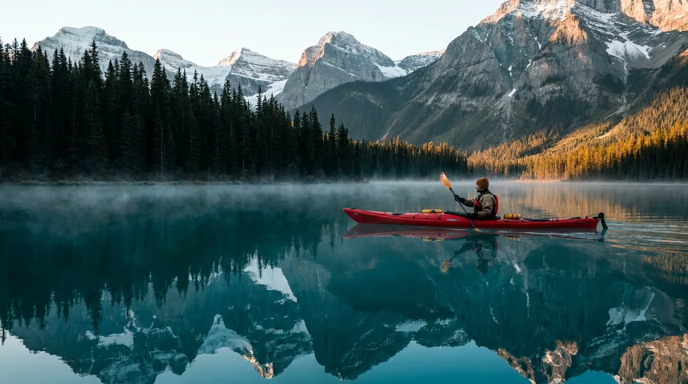
The signature water — and both are TransAlta reservoirs, raised 13.7 m (Upper) and 11 m (Lower) above their natural levels. Drawdown happens mostly November through February, so summer visitors get near-full pool and never see the mud. There are no beaches and no lifeguards anywhere.
Correction worth printing: these lakes are not electric-motor-only. Motorboats are permitted on both, and on Spray Lakes Reservoir, which surprises people who've read otherwise. We could not confirm a horsepower cap — verify with Alberta Parks if it matters to your trip. Gap Lake in Bow Valley PP is non-motorized if you want quiet water.
This is where swimming actually lives. Barrier Lake in Bow Valley Provincial Park has sand dunes at the Barrier Dam day use area, paddle and motor access, and it warms up in a way the Kananaskis Lakes never will. Rentals ran 27 June – 6 September in 2026.
No lifeguards here either — supervise swimmers, expect cool water even in August, and remember you still need a Conservation Pass to park at Bow Valley PP. Plenty of people find that out the expensive way.
The Canoe Meadows course has run since 1984 and is one of the reasons paddlers move to Calgary. Roughly 10 km of Class 2–3, dam-release fed, and worth an estimated $32 million a year to the local economy by a 2024 assessment. The club is the Bow Valley Kayak Club.
Canoe Meadows is partially closed as of 29 June 2026 for flood damage, until further notice.
Guided rafting: Chinook Rafting (running since 1983), Canadian Rockies Rafting (2026 season 5 Jun – 26 Jul, $120 adult 18+ / $84 youth), and Boundary Ranch as an add-on to a ride.
An Alberta sportfishing licence is required. 2026 rates: $30 resident / $62 non-resident Canadian / $87 non-resident alien, annual, ages 16–64. Under 16 and residents 65+ fish free. The WiN card is $12.00 — if you're reading $8.00 somewhere, that page is stale.
Two very different ways to cover ground here, and one shared truth: in Kananaskis, the map decides. Most of this landscape is closed to machines and always will be.

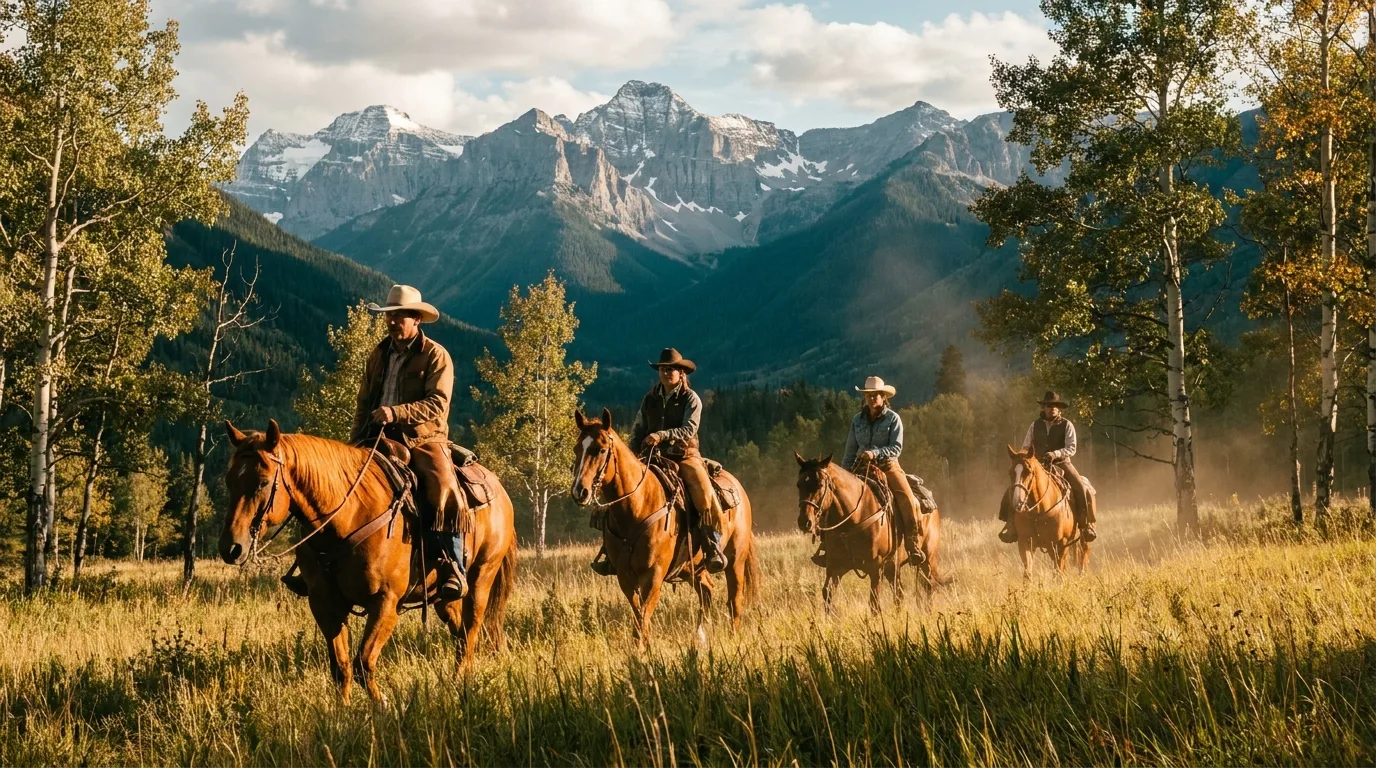
The foothills and montane meadows here are classic Alberta horse country, and the guided operators are long-established.
Hauling your own stock? Sandy McNabb Equestrian (20 sites, Hwy 546) and Bluerock Equestrian (35 km west on Hwy 546) are your staging campgrounds — but both were named in the 29 June flood advisory, so confirm before you load the trailer.
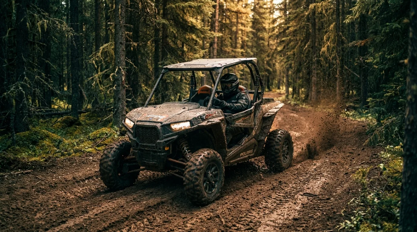
Peter Lougheed, Spray Valley and Bow Valley Provincial Parks are all closed to recreational OHVs. Summer riding in Kananaskis Country means one place: the McLean Creek OHV Public Land Use Zone — 202 km² established in 1979, designated trails for dirt bikes, quads, side-by-sides, snowmobiles and 4×4 trucks, with a 170-site campground you can ride out of.

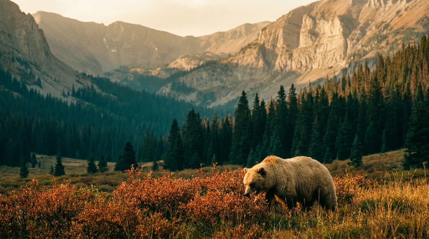
The bear management area covering Kananaskis holds roughly 96 grizzlies — about 16 per 1,000 km². Alberta Parks was actively tracking 18 of them in May 2026. This is not a place to be casual about a cooler.
Bear spray rides on your hip — not in the pack — on every trail and every walk to the outhouse at dusk. It's recommended rather than legally required here, which is a technicality, not advice. Make noise in brush and on blind corners, travel in groups, and give any carcass or buffaloberry patch a wide berth.
All food, coolers, garbage, dishes, toiletries and dog food live sealed in a hard-sided vehicle or a bear-proof locker — never in your tent, never on the table overnight. The Lower Lake order exists because this stopped happening. A camp that smells like nothing is a camp bears skip.
We counted roughly 38 active advisories in July 2026 and that list was still incomplete. Some run for years — the Elpoca day-use and Valleyview Road bear closure has been in force since May 2020. Check the live page before every single trip.
The corridor's golden rule: arrive full, of everything. There is exactly one fuel stop in the middle of Kananaskis Country, it keeps shop hours, and the run it sits in is about 145 km long — and it sits 40 km from one end of it.
| Stop | Position | Count on | Field notes |
|---|---|---|---|
| Bearspaw Kananaskis Travel Centre | Hwy 1 / Hwy 40 junction | Gas, EV charging, 24/7 | The last easy fill-up heading south, and the only 24-hour option. Top up here even if you think you don't need to. 403-881-2469 |
| Fortress Junction Service | Hwy 40, ~40 km S of the Trans-Canada | Gas, propane, store. 8am–10pm summer / 8am–6pm winter | The only fuel between Hwy 1 and Longview. No EV charging. Diesel unconfirmed — call ahead if you run it. fortressjunction.ca · 403-591-7371 |
| Canmore | ~65–70 km NW of Fortress | Full services, fuel, groceries, hardware, signal | Your real resupply town for the north and Smith-Dorrien end. Note the 742 severance changes what you can reach from here. |
| Longview / Diamond Valley | ~105 km SE of Fortress via Highwood | Fuel, food (seasonal hours) | The south exit. Diamond Valley is Black Diamond and Turner Valley, merged in 2023 — old maps and old locals still say both. |
| Kananaskis Village | Hwy 40, mid-north corridor | Lodging, food, EV charging, signal | No gas station. People assume otherwise every summer. Boulton Creek Trading Post has no fuel either. |
Trans-Canada to Longview over Highwood is roughly 145 km, and Fortress sits only 40 km in from the north end — so the real number that matters is the ~105 km south of it with nothing that shuts at 10 pm in summer and 6 pm in winter. Run the pass at dawn or dusk and there is no fuel option at all. Add every campground detour, trailhead shuttle and larch-season lap on top. Arrive full, jerry-can it if you're running toys, and don't plan on EV charging south of the Village.
Buy it where you burn it — campground kiosks, Boulton Creek Trading Post, Fortress Junction. There's no blanket Alberta ban on moving wood within the province, but bringing it from Ontario, Quebec or the Maritimes runs into federal restrictions, and elm is banned outright. Collecting deadfall is illegal in Provincial Parks and PRAs — it's only legal in PLUZs and Wildland Parks like McLean Creek and the Ghost. Check the fire ban status the morning you leave.
Reliable coverage: Kananaskis Village and the Canmore Nordic Centre area. Not covered: Highways 68, 742, 66, 546, 541, 532, and all of Highway 40 South including Peter Lougheed. Buy your pass and download your maps at the Village or earlier. Carry a satellite communicator. From a sat phone, the emergency number is 403-591-7767.
Hydrotherapy pools, saunas and cold plunges at the Village. 18+. Roughly $135+GST Tue–Thu, $155 Fri–Mon, $175 stat weekends; an evening 6–9pm pass runs $79. Sources vary on the base rate ($135 vs $129) — confirm when booking. The correct post-Burstall move.
A ~15 km loop right around the Upper lake — flat, gorgeous, and the best "big day without a climb" in the corridor. Currently closed between North Interlakes and White Spruce for bear activity.
Prairie View is ~13.2 km return; the Fire Lookout is ~14.6 km one-way with 553 m gain; the full loop runs ~19 km / 660 m. Big Bow Valley views for a north-end basecamp.
An '88 Olympic venue turned public playground: roughly 70 km of mountain bike trail in summer. Currently under a bear warning. Trail pass required — this one isn't covered by the KCP.
A 700 m fully accessible trail with mountain reflections and stocked fishing — the rare Rockies stop that works for everyone in the vehicle. Under a valley bear warning, as is Wedge Pond.
Driving to 2,206 m on pavement is the attraction. Highest paved pass in Canada, open 15 June to 30 November, and a cyclist’s pilgrimage in the weeks before it opens to cars — though a grizzly closure shut that window to cyclists and pedestrians in May 2026 and we could not confirm it was ever formally lifted. Call 403-678-0760 before planning that ride.
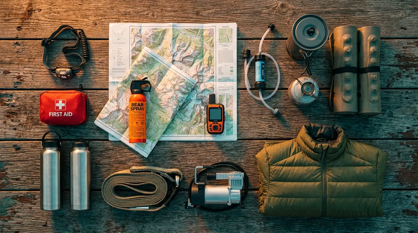
A corridor with one fuel stop, no cell service south of the Village, gates that run on the calendar, and grizzly density high enough to change how you camp. Orange items are the non-negotiables.
Abraham Lake has the ice bubbles. Kananaskis has no photographic equivalent — and doesn't need one. Its winter draw is participatory, and it's world-class.
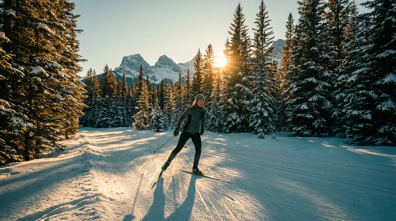
One of the best cross-country networks in North America and shockingly under-hyped: 85+ km groomed around the Kananaskis Lakes plus another 30 km on the Smith-Dorrien. Pocaterra, Elk Pass, Tyrwhitt, Lynx, Woolley, Meadow, Whiskey Jack, Lookout, Amos and Boulton Creek — and the Pocaterra warming hut is heated, which changes a cold day entirely.
There is no trail fee. None. You need a Conservation Pass to park and that's the entire cost of admission to 115 km of grooming.

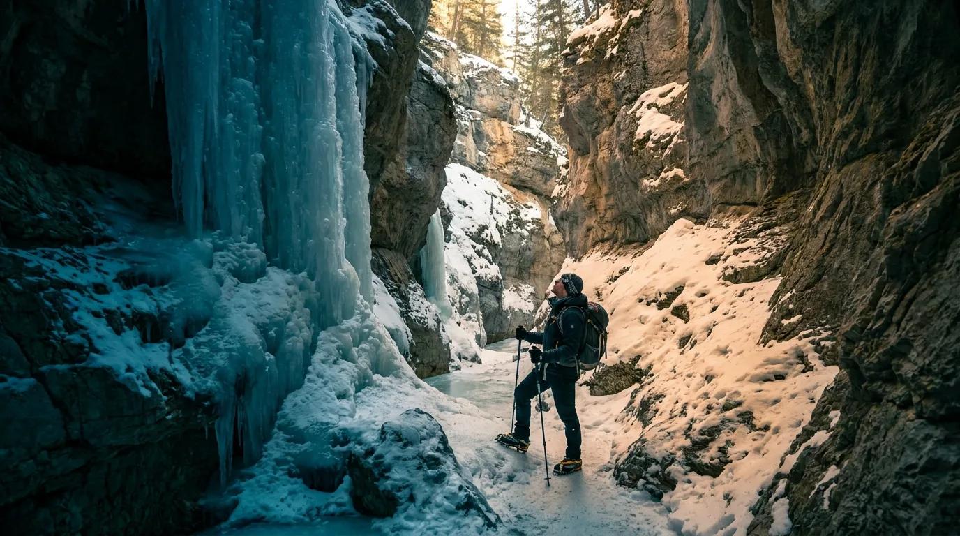
In Bow Valley PP: 4.2 km, 100 m of gain, 2–2.5 hours, walking up a frozen creek bed between limestone walls past icefalls up to 30 m tall. There are Hopi pictographs on the wall, estimated at 500–1,300 years old. Ice cleats are essential, not optional — this is a frozen creek, and people get hurt here every winter.
Fat biking on the High Rockies Trail, Watridge Lake and Goat Creek (20 km through to Banff) — tires 3.8"+ at 8 psi or less. Nakiska for lift-served days; it closed 24 April in 2026 after 159 inches of snow on the season. Canmore Nordic Centre has 65+ km groomed, 20+ km of snowmaking and 6.5 km lit until 9 pm — but it charges a trail pass. And remember the gates: Highway 66 and 546 are shut Dec 1 – May 14, and Highwood Pass is locked until 15 June.
Run it the night before you roll. Tap each item as it's done — no excuses survive contact with this list.
Trail distances and elevation figures in this journal are planning estimates, and Alberta Parks publishes almost none of them officially. Conditions, access, fees and rules change — these sources are the truth on the day you travel.
Everything above, condensed into a print-ready PDF built for the glovebox — where it still works after the signal dies at Kananaskis Village. Maps, trail cards, the fuel math, the phone numbers and the departure check on one sheet.
Every Trekkr Trail Journal is built like this one: custom maps, honest trail beta, full logistics, kit lists and the local knowledge that turns a good trip into the one your crew talks about for years. New destinations drop all season long.
Unlock the Trail Journal Library