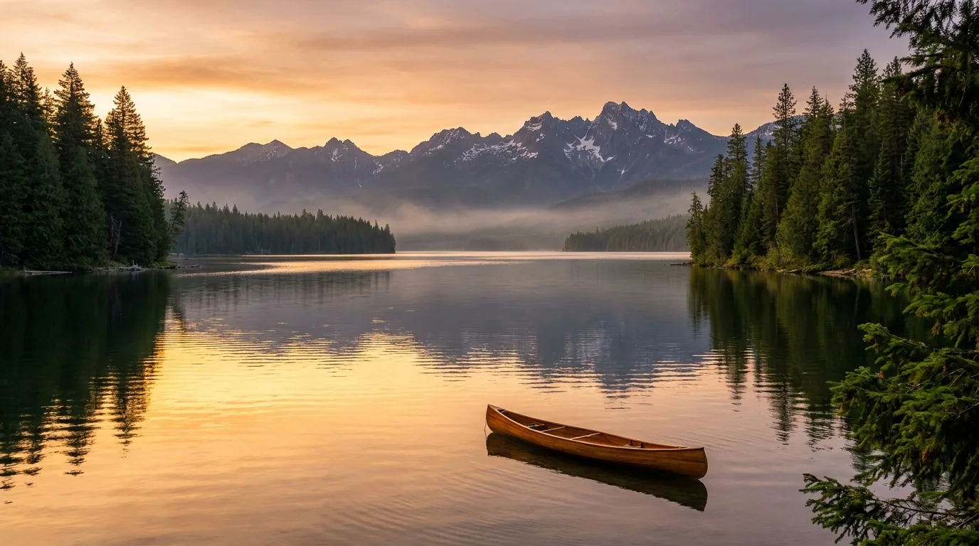
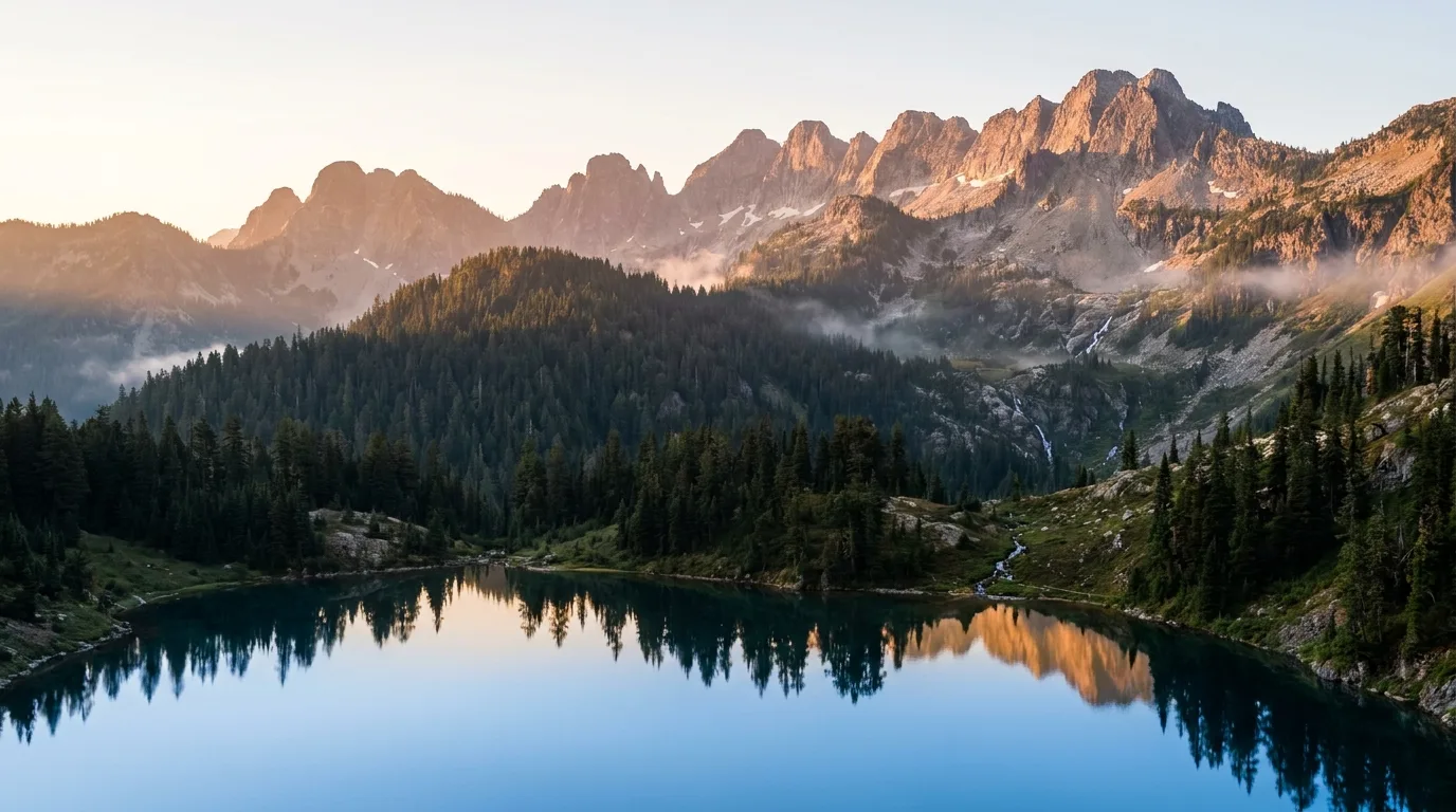
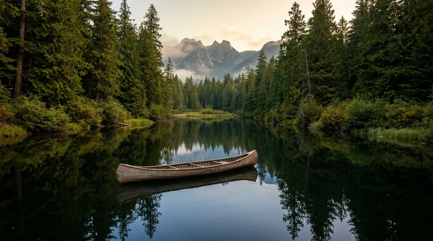
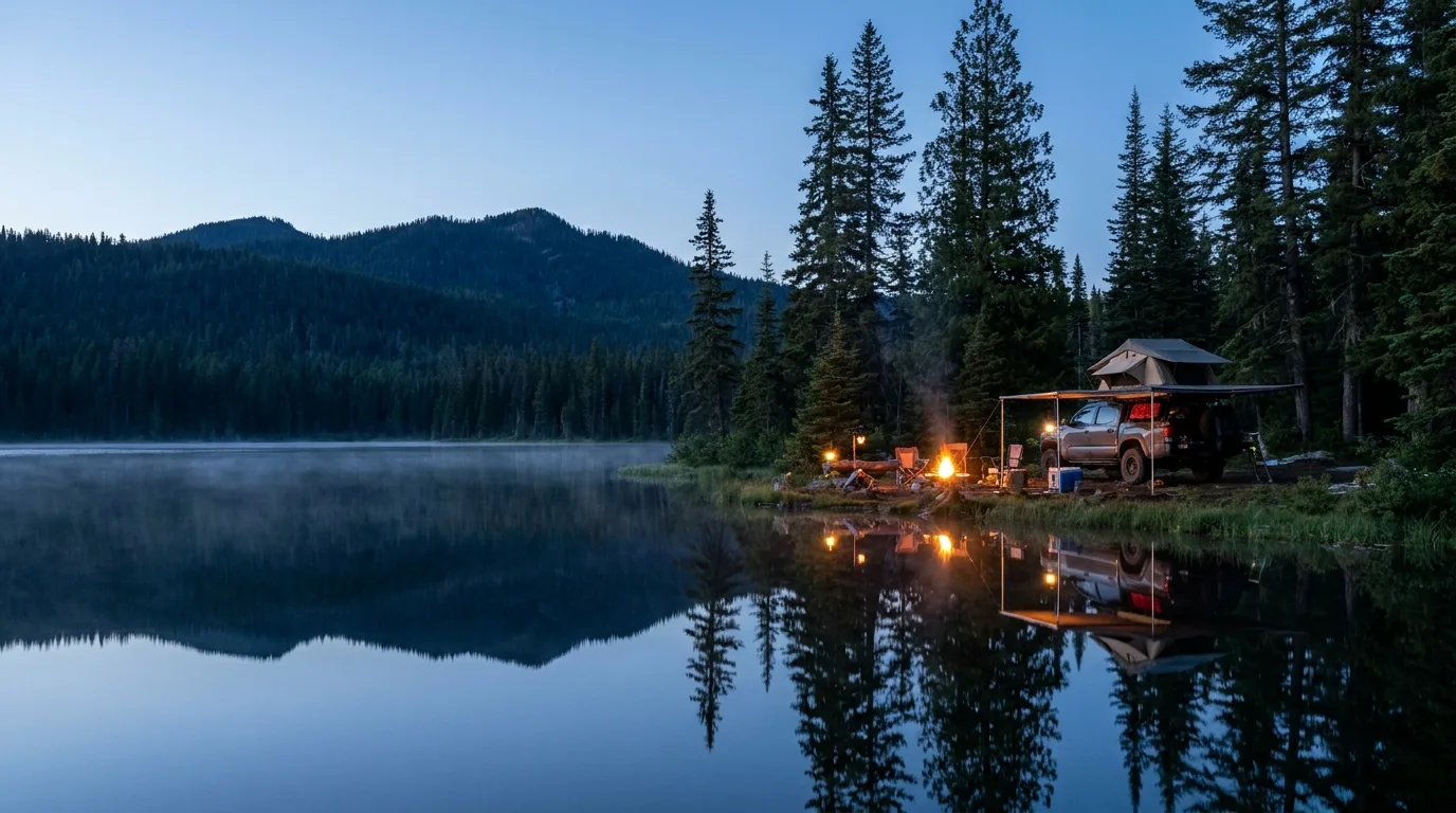
The narrow neck of Idaho holds three of its biggest lakes — Coeur d'Alene, Pend Oreille and Priest — cradled in old cedar-and-hemlock forest under one sharp granite spine, the Selkirk Crest. You can paddle glassy water in the morning, stand under 600-to-2,000-year-old cedars at midday, and camp beneath alpine granite at night. This issue is about water at every elevation, and how to reach it honestly — what's open when, which roads are rough, and what we could not confirm.
The rest of this journal is evergreen; this box is not. Everything below is dated to the day we checked it, and the most perishable items here — the Hiawatha shuttle dates, the alpine snow, the rough forest roads, one Corps campground's status — change faster than any printed guide. Trust the live sources, not our date stamp.
Most people picture Idaho as sagebrush and river canyons. The Panhandle is the opposite: it's the wettest, greenest, most lake-heavy corner of the state, where inland-maritime forest grows cedars the size of grain silos and the only true alpine is a single sawtooth range. The whole region reads as one idea — water at every elevation — and once you see it that way, the trip plans itself.
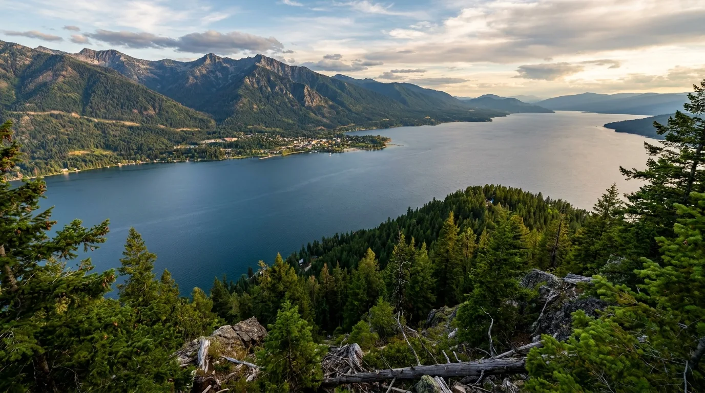
Lake Pend Oreille is Idaho's largest and deepest — a glacial trench roughly 1,150 ft deep — with Sandpoint and Schweitzer on its north shore. Priest Lake (~19 mi long) and its roadless upper twin sit under the Selkirks. Lake Coeur d'Alene anchors the south, ringed by shoreline trails and rail-trail.
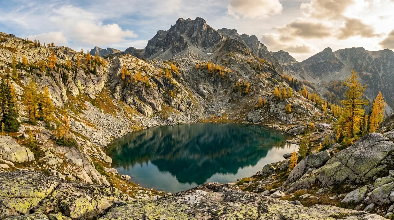
The Selkirk Crest is the only true alpine in the Panhandle: granite, subalpine larch, mountain goats, and the last grizzly and mountain-caribou recovery country in the lower 48. Its lakes and the spire of Chimney Rock are the region's high objectives — and its climbing is real, not metaphorical (§04).
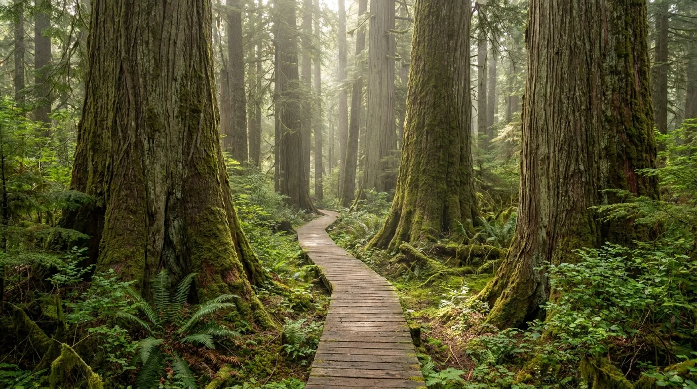
This is old-growth cedar country. Settlers Grove and the Roosevelt Grove of Ancient Cedars hold trees up to 12 ft in diameter and as much as 2,000 years old — sub-mile walks that put you under something older than most cathedrals (§06).
Priest Lake is the quiet marquee of the Panhandle: nearly nineteen miles of cold, clear water under the Selkirks, with sandy state-park beaches on the east shore and a signature paddle that ends somewhere no road reaches. It is the reason many people come, and it rewards an early start.
From the north end of Priest Lake, you paddle the ~2-mile Thoroughfare into Upper Priest Lake (48.78492, -116.88899), a smaller lake with no road access, ringed by cedar forest. It's premier flatwater — canoe, kayak or SUP — but the water is cold and the main lake's afternoon wind is the hazard. Go in the morning and get back before the wind builds.
The closest put-ins are the north-end national-forest campgrounds — Beaver Creek and Reeder Bay (§07). Motorized restrictions apply on the upper lake in places; check current rules.
Priest Lake State Park – Indian Creek Unit (48.61131, -116.83132), ~12 mi north of Coolin, is a sandy family swim beach with a boat launch and paddling access — the natural springboard for the north lake and the Thoroughfare. Cold, clear water; the same afternoon-wind rule applies.
Rentals on the lake: Elkins Resort and Lake Escapes (Nordman), Priest Lake Marina and Crown Jewel Rentals (Coolin) — canoes, kayaks, SUPs and powerboats (§08).
⚠️ Upper Priest coordinate is a medium-confidence OSM/Nominatim value; the paddle's season and any fees were not pinned to a primary page — verify.

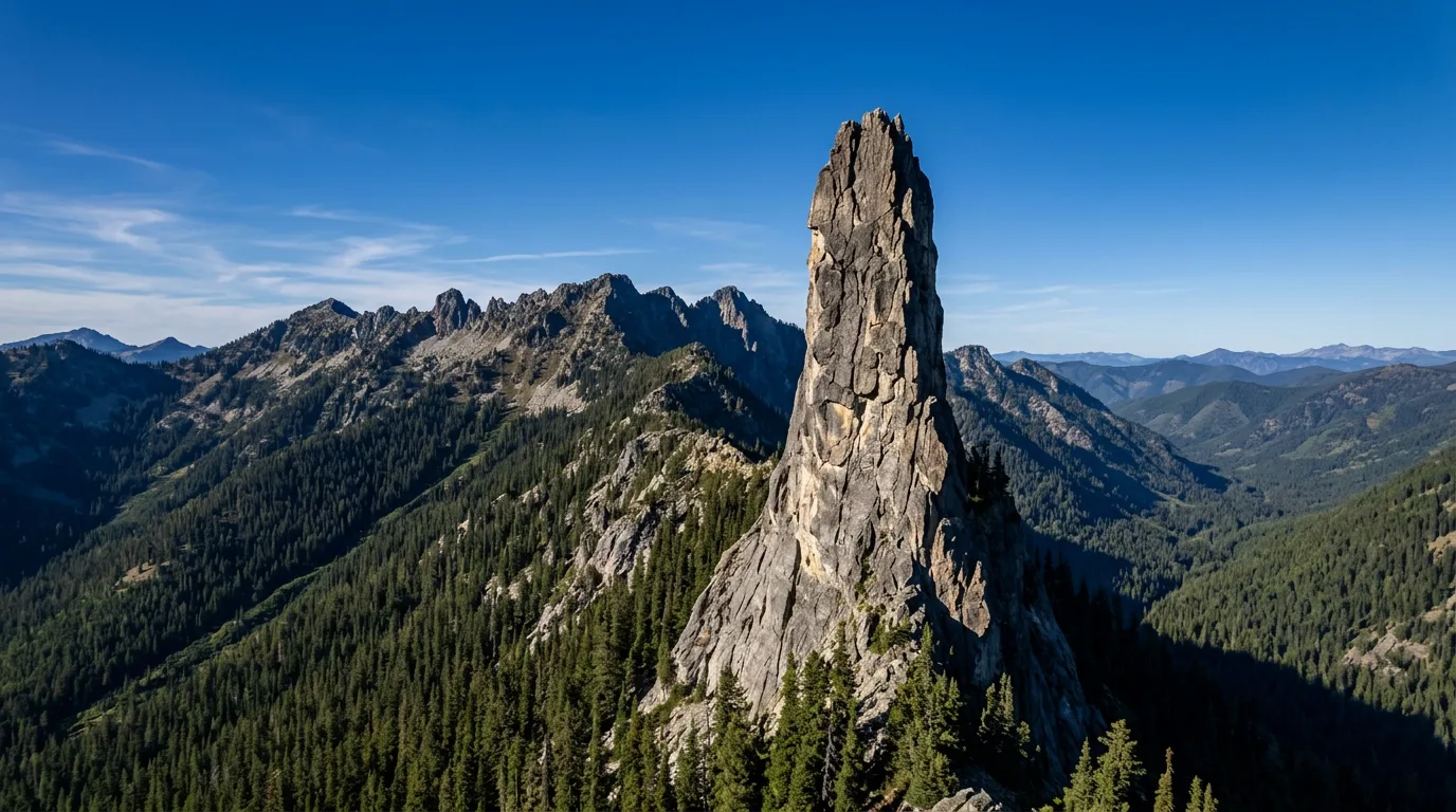
Chimney Rock is the 7,124-ft granite tower on the Selkirk Crest — "the lightning rod of North Idaho," visible across Priest Lake. It's the photo that sells the region. But be clear: this is not a walk-up. Even the easiest line — the West Face, graded II 5.3 — is technical rock climbing that needs a rope and the skills to use it.
For hikers, treat it as a viewpoint and photo objective reached via the Selkirk Crest approaches near Mount Roothaan, and treat the summit as climbers-only. Grizzly and black-bear country; the alpine is snow-bound into July.
⚠️ The 48.62, -116.70 coordinate is a coarse 2-decimal Wikipedia value (low confidence) — a summit location, not a trailhead.
Lake Pend Oreille is the giant of the region — the largest and deepest lake in Idaho, a glacial trench over a thousand feet deep — and Sandpoint sits on its north shore with Schweitzer's ski runs rising straight behind town. In summer, the lake is for careful paddling in sheltered bays and the mountain is a lift-served ridge of views and bike trails.
The 6,400-ft resort peak (~11 mi NW of Sandpoint) runs summer operations roughly late June to Labor Day. Ride the scenic Great Escape Quad to the summit for Lake Pend Oreille and Selkirk views, then choose from 20+ mi of hiking and 40+ mi of lift and cross-country mountain-bike trails (e-bikes on designated trails). Rentals and guiding are on-site.
⚠️ Scenic-lift and bike-park ticket prices vary — verify on schweitzer.com. Summer dates shift year to year.
This is a big, deep lake that can turn rough in an afternoon. The safe paddling is the sheltered bays — Owens Bay at Sam Owen, Garfield Bay, and Sandpoint's City Beach — not the open water. Rentals in Sandpoint: Action Water Sports (20+ years on the lake, plus a Hope location) and A Day on the Lake, which delivers (§08).
East of town, the Pend Oreille Scenic Byway (Hwy 200) hugs the north shore through the historic village of Hope (48.2481, -116.3031) — pullouts, island views, and access to the east-shore bays and Sam Owen.
If the lakes are the easy half of this region, the Selkirks are the earned half. Three alpine lakes sit in granite basins under 7,000-plus-foot peaks, and each rewards you with clear water, larch and a real chance at goats — after a rough drive and a snow-dependent season. This is where the Panhandle turns into a mountain trip.
| Alpine objective | Distance | Gain | Effort | The catch |
|---|---|---|---|---|
| Roman Nose Lakes | ~4 mi RT to lakes | ~760 ft ⚠️ | Moderate | Three tarns under 7,260-ft Roman Nose. Short accessible option to the lakes; scramble to the peak for full Crest views. ~1.5 hr NW of Sandpoint via Deep Creek / FS 402 (rough) |
| Beehive Lakes | ~7.2 mi RT | ~2,040 ft | Hard | Steep climb into a granite basin at ~6,460 ft. Trailhead off Pack River Rd — 4WD advised for the final approach; watch for cairns on the upper granite |
| Harrison Lake (#217) | ~2.5 mi one way | ~1,450 ft | Moderate | Granite-amphitheatre lake under 7,292-ft Harrison Peak. Backcountry campsites + bear box at the lake; motorized closure Apr 1–Nov 15. Last ~10 mi of Pack River Rd is rough |
| Chimney Rock | Climbers-only summit | Technical | 🔴 Not a hike. 7,124-ft tower; easiest line West Face II 5.3. A viewpoint/photo objective for hikers via approaches near Mount Roothaan (§02) | |
Distances and gains are from published trail data (Inland NW Routes, Stuck in North Idaho, IPNF trailhead pages) and are medium-confidence; the Roman Nose figures in particular vary by source and route, so we mark the gain ⚠️. Coordinates: Roman Nose ~48.628, -116.593; Beehive 48.64925, -116.62364; Harrison 48.66594, -116.62722.
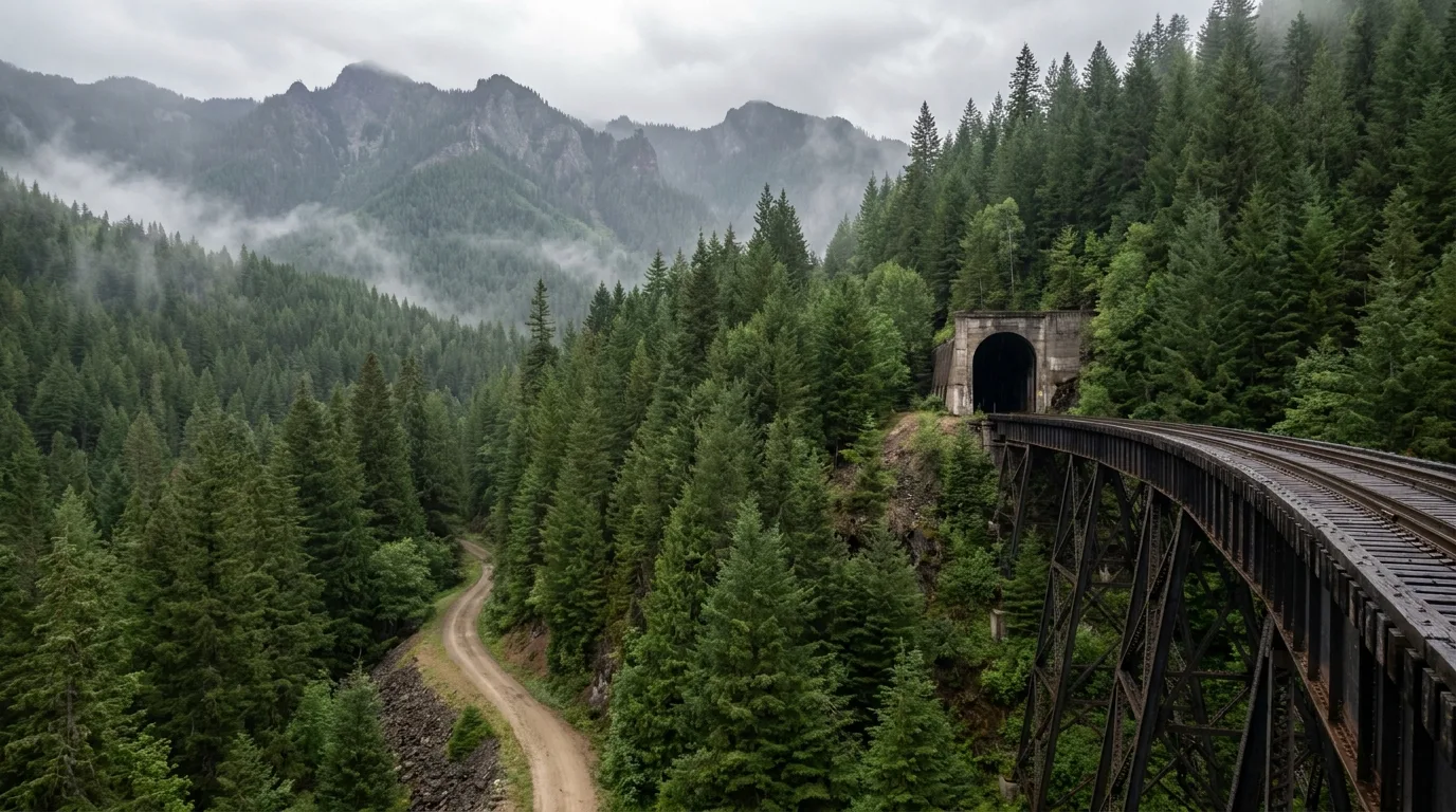
The Panhandle holds two of the best rail-trails in the country, and they're opposite experiences. One is a gravity-fed descent through a mile-plus tunnel and over sky-high trestles, gated by season and served by a shuttle. The other is 73 flat, paved miles you can pick up anywhere and ride as far as you like. Both are logistics puzzles worth solving.
A 15-mile, mostly-downhill railbed with 10 tunnels and 7 high trestles, starting through the 1.66-mile Taft Tunnel. A paid shuttle carries you from the bottom (Pearson) back up to the East Portal so the whole ride is downhill.
⚠️ 2026 dates advertised ~22 May – 20 Sept, 8:30am–5pm; 2025 shuttle ~$16 adult / $12 child weekdays. Treat both as prior-year/advertised — verify on ridethehiawatha.com.
A 73-mile fully paved rail-trail from Plummer (west) to Mullan (east), running the Silver Valley, the Coeur d'Alene River chain lakes and the south shore of Lake Coeur d'Alene — 20 trailheads, 20 waysides, flat and family-friendly. The prettiest stretch is the lateral-lakes run around Harrison (waterfront trailhead, 47.4543, -116.7860). Managed by Idaho Parks & Recreation.
🔴 Stay on the pavement. The trail is built over a capped mining-contamination corridor created with the Coeur d'Alene Tribe — off-trail soils carry legacy heavy metals, so don't dig in bank soils, and wash up after. Shuttles and rentals via The Cycle Haus (Kellogg) and Excelsior Cycle (§08).
The Panhandle's inland-maritime climate grows western red cedar to a scale you don't expect this far from the coast. Two protected groves let you walk among the oldest of them on short, gentle interpretive loops — the kind of stop that resets a trip, reachable at the end of a rough forest road.
The only old-growth cedar botanical area in the Coeur d'Alene River district (established 1970), near Murray/Prichard. A sub-mile interpretive loop among cedars up to 7 ft in diameter and 600+ years old (trailhead 47.7094, -115.8267). Easy walking once you're there.
Access via FH9 to Eagle, then FR152/FR805 — rough forest roads. CdA River Ranger District 208-769-3000. Season not pinned to a primary page — verify.
800-to-2,000-year-old cedars up to 12 ft in diameter, paired with the two-tier Granite Falls, near the Idaho–Washington line north of Priest Lake. A short spur reaches the lower falls; a ~1-mile loop climbs to vista points and the upper grove. About 13 mi N of Nordman on FR 302 (the extension of Hwy 57).
⚠️ The ~48.767, -117.065 coordinate is derived from published DMS and is approximate (low confidence) — verify on site. FR 302 is snow-gated/unmaintained in winter.
There is no single hub campground here; the region is a string of lakes, so where you camp decides which lake you get. Think in three tiers — Idaho state parks, Idaho Panhandle National Forest sites, and an Army Corps park — plus one full-hookup private option in Coeur d'Alene. Most nightly fees below are secondary or unreconciled, and every Idaho state park adds a vehicle entrance fee on top.
| Campground | Where | Sites | Hookups | Season | Fee (verify) + MVEF |
|---|---|---|---|---|---|
| Priest Lake SP — Indian Creek | East shore, Priest Lake | 93 (+6 cabins) | water/electric/sewer (some) | Year-round (water off winter) | $12 std / $16 W-E / $18 full ⚠️ |
| Priest Lake SP — Lionhead | North end, Priest Lake | 47 | None | May 1 – Sept 30 | $9 std ⚠️ |
| Priest Lake SP — Dickensheet | 4 mi S of Coolin, Priest River | 11 primitive | None | May 1 – Sept 30 | primitive fee ⚠️ · no drinking water |
| Farragut SP — Whitetail | S tip, Lake Pend Oreille | ~61 ⚠️ | None | Year-round | ~$27/night ⚠️ |
| Farragut SP — Snowberry | S tip, Lake Pend Oreille | 44 | water, electric | Year-round | ~$37/night W-E ⚠️ |
| Round Lake SP | Near Sagle (rigs to ~24 ft) | 51 (35 std / 16 W-E) | water, electric | Reserve May 19 – Sept 4; FCFS year-round | $21 std / $29 W-E |
All Idaho state parks add a Motor Vehicle Entrance Fee (~$7/vehicle — verify) on top of the nightly fee. Booking via parksandrecreation.idaho.gov. Fee and site-count figures marked ⚠️ are secondary and should be confirmed at booking.
| Campground | Operator | On | Sites | Hookups | Notes / fee (verify) |
|---|---|---|---|---|---|
| Reeder Bay | USFS (IPNF) | Priest Lake (E shore) | 24 | None | Thoroughfare paddle put-in; shaded cedar/fir. Season & fee ⚠️ |
| Beaver Creek | USFS (IPNF) | Priest Lake (NW shore) | ~42 | None | Closest put-in for the Thoroughfare; a group site to 35. Fee ⚠️ |
| Luby Bay | USFS (IPNF) | Priest Lake (W shore) | — | None | Upper/lower loops; lower Luby has waterfront sites. Fee ⚠️ |
| Outlet | USFS (IPNF) | Priest Lake (SW shore) | — | None | At the Priest River headwaters; Selkirk views. Fee ⚠️ |
| Sam Owen | USFS (IPNF) | Lake Pend Oreille (E) | 82 | None | Owens Bay swim beach; accessible Sam Owen trail. ~$20–$22/night ⚠️ · mid-May–late Sept |
| Bell Bay | USFS (IPNF) | Lake Coeur d'Alene (SE) | 16 (+group) | None | N of Harrison; shoreline trail, day-use docks, swimming. Fee ⚠️ |
| Honeysuckle | USFS (IPNF) | Coeur d'Alene River | 7 | None | Small, fills fast; hand-pump well, vault toilets. ~$20–$24/night |
| Riley Creek | Army Corps (Albeni Falls) | Pend Oreille River, Laclede | 67 | water, electric | Largest Albeni Falls site; boat ramp, showers, dump. $24/night · May–Sept |
| Blackwell Island RV Park | Private | Spokane R. / Lake CdA | 182 | Full | 140+ pull-throughs, 20/30/50 amp, dump, beach, near downtown CdA. Rates ⚠️ |
You don't have to haul your own hull or a set of tunnel lights. Every lake has paddle and boat rentals, and both rail-trails have shops that rent bikes and run shuttles. These are directory listings compiled from each business's public website — most are unclaimed, so contact details are withheld until the owner claims them; confirm hours and rates directly before you count on anything.
The Panhandle's hazards aren't dramatic, they're specific — and most of them come down to the same thing that makes it beautiful: big cold water, a short mountain season, and a lot of remote forest road. Here's the honest safety picture, so nothing about the place catches you out.
Every guide has these. Most don't print them. This is the consolidated list of what we could not stand up, what we deliberately withheld, and where the softer numbers come from — because on a trip with this much rough forest road and cold water, a confident wrong number costs more than an admitted gap.
Everything above, condensed into a print-ready PDF built for the glovebox — for a region where the cell dies on the forest roads, the alpine season is short, and the best paddle ends somewhere no road reaches. The Thoroughfare paddle to roadless Upper Priest, the Hiawatha's tunnel-and-trestle logistics, the three Selkirk alpine lakes and their rough-road catches, the two ancient-cedar groves, the full camping strategy across state parks, national forest and the Corps, the paddle and bike rentals, and the honest list of what nobody could confirm — on paper that works where the signal doesn't.
Every Trekkr Trail Journal is built like this one: custom logistics, honest trail beta, the camping and access detail, kit lists and the local knowledge that turns a good trip into the one your crew talks about for years — including, always, a plain list of what we could not confirm. New destinations drop all season long, from the BC corridors to the Oregon Cascades to the Idaho Panhandle.
Unlock the Trail Journal Library