You are going to share this park with more people than any other in America — over 12 million recreational visits in 2024, more than Yellowstone, Yosemite and Zion combined. Don't let that put you off: the Smokies absorb crowds better than almost any park in the system, because those millions funnel into about six places and there are 848 miles of trail to disappear into. The money works differently here too — no entrance fee, ever, but a parking tag for any stop over 15 minutes. And there is no gas station anywhere inside the boundary.
The rest of this journal is evergreen; this box is not. In the Smokies the things that wreck a plan are logistical, not athletic: the parking tag (§02), the total absence of fuel inside the park (§02), bear food storage (§06), October traffic (§09), and, if you're chasing them, the firefly lottery (§05). Everything below is dated to the day we checked it. Trust the live sources, not our date stamp.
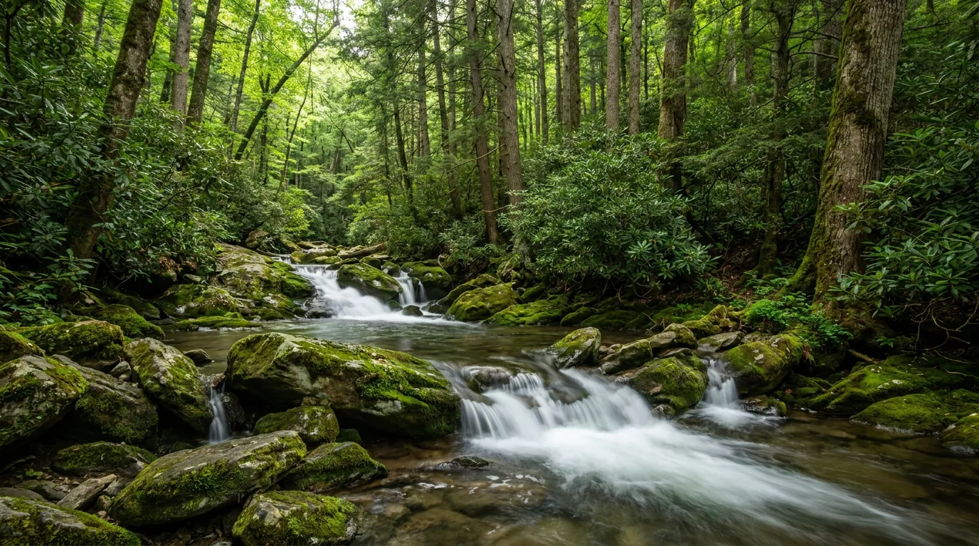
There is no gentle way to say it: over 12 million recreational visits rolled through in 2024, consistently the most-visited national park in the United States by a wide margin. If that makes you want to skip it, don't — the Smokies absorb crowds better than almost any park in the system, because twelve million people funnel into about six places, and the park has 848 miles of trail across 150 trails to disappear into. What you actually came for is the forest: Southern Appalachian hardwood at its richest, cove hardwood forests holding more tree species than all of northern Europe, spruce-fir "boreal islands" stranded on the high ridges since the last ice age, and over 22,700 documented species in 800 square miles. The mist that names the range is real and constant — volatile organic compounds off the vegetation, hanging in the hollows at dawn.
A UN World Heritage Site and International Biosphere Reserve — ~95% forested, about a quarter of that old-growth, one of the largest blocks left in the eastern US. ~100 native tree species, more than any other North American national park, and the salamander capital of the world (§01, §05).
No dispersed camping and no backcountry driving. Every night is a reserved frontcountry site or a permitted backcountry site. No showers in any of the ten campgrounds, and no hookups outside Look Rock's ten electric sites (§07).
A parking tag for any stop over 15 minutes, zero fuel inside 384 miles of park road, and cell coverage you should assume is nonexistent. Sort those three before you plan a single hike (§02).
Here's what first-timers get wrong about the Smokies: they hear "no entrance fee" and assume there's nothing to buy, then get a citation for a $5 tag. And they treat a 384-mile road network like a highway with services on it. Sort the tag, fill the tank, download your maps and your reservation, and the rest of the park gets much easier.
| What | The rule | Where you get it | The catch |
|---|---|---|---|
| Entrance fee the one you don't pay |
There isn't one — and never has been, thanks to a deed covenant from when Tennessee transferred Newfound Gap Rd to the federal government | N/A | Which is exactly why people get caught out by the tag |
| Parking tag — daily | $5, required for any vehicle parked longer than 15 minutes anywhere in the park | Recreation.gov (printable up to 6 months ahead); tag machines at 13 sites | Expires 11:59 pm ET the same day |
| Parking tag — weekly | $15, same 15-minute rule | Recreation.gov; visitor and welcome centers; tag machines | 7 days from purchase |
| Parking tag — annual | $40 — the only sane choice for a trip measured in days | Smokies Life (the park's nonprofit partner, shipped); Gatlinburg Welcome Center, Sugarlands and Oconaluftee visitor centers, regional welcome centers, REI stores in TN/NC/SC | 12 months from purchase month. Display on the front lower passenger-side windshield |
| Tag machines | At 13 sites park-wide, 24/7 | In-park, credit card only — no tap-to-pay | Bring a physical card. Don't count on buying online in the park — there's no signal |
Daily and weekly tags go face-up on the front lower passenger-side dash; annual tags adhere to the windshield. Tags are not replaceable, refundable, transferable or upgradable, and they do not guarantee a parking spot. Exemptions exist for school groups (advance application), permitted researchers, disability placard/plate holders, burials and cemetery visits, and First Amendment activity under 25 people; tags are also waived on NPS Free Entrance Days. A parking tag is not a campground or backcountry fee — those are separate. Confirm current rates at nps.gov/grsm before you rely on any dollar figure.
Coverage is patchy to nonexistent through most of the park. Cades Cove, Cataloochee, Deep Creek, Big Creek, Balsam Mountain and virtually all backcountry have no usable signal. Recreation.gov's own Cataloochee listing warns of limited on-site service and tells you to reserve before you arrive. You may pick up bars at Newfound Gap, at Kuwohi, and along the ridgelines.
NPS is direct about GPS: navigation systems "may provide inaccurate information in the mountains — sending drivers the wrong way on one-way roads or leading them to dead ends in remote areas." Carry the paper map from a visitor centre, or download the NPS app's offline topo maps first.
Download before you leave town: offline maps, your campground reservation QR code, and your parking-tag receipt. Do not plan to buy a tag online from inside the park.
The Smokies are a driving park before they are a hiking park, and the roads carry more restrictions than most people expect — hard vehicle bans, one-way gravel exits, seasonal gates, and a bridge that trailers cannot cross. The 2026 seasonal schedule below is from NPS. Treat the gravel-road limits as rules, not suggestions: there is nowhere to turn a rig around once you're committed.
| Road | What it is | 2026 season | The catch |
|---|---|---|---|
| Newfound Gap Rd US-441 · the spine |
~33 mi, Sugarlands (TN) to Oconaluftee (NC) over Newfound Gap, 5,046 ft — the only road that crosses the park | Year-round, weather permitting | Closes on short notice for snow and ice every winter, sometimes for days. Never assume you can cross in winter |
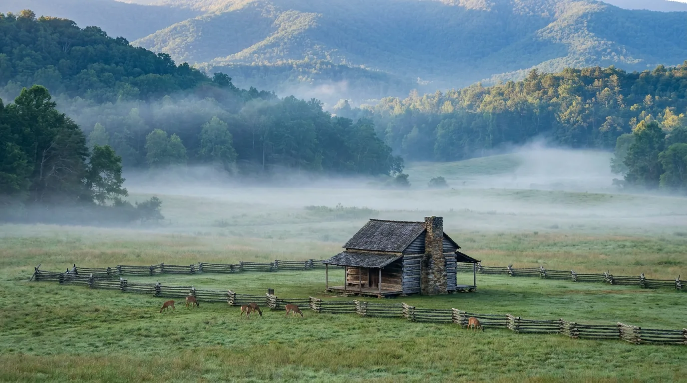
| Cades Cove Loop Rd | 11 miles, ONE-WAY. Historic district, cabins, churches, gristmill, wildlife fields | Year-round | Allow 2–4 hours in season — longer on a peak autumn Saturday. Seasonal vehicle-free mornings run for cyclists and pedestrians [the day/schedule has changed repeatedly — confirm 2026 on nps.gov] |
| Kuwohi Rd formerly Clingmans Dome Rd |
7-mi paved spur off Newfound Gap Rd to the 6,643 ft high point and its spiral observation ramp | 4/1 – 11/29 | Closed roughly Dec 1 – Mar 31. In winter the summit is reachable only on foot from Newfound Gap |
| Roaring Fork Motor Nature Trail | 5.5 mi one-way, narrow, from Gatlinburg. Old-growth forest, historic cabins, the Grotto Falls trailhead | 4/17 – 11/29 | NO RVs, trailers or buses. This is a hard restriction, not a suggestion |
| Heintooga Ridge Rd | Paved access off the Blue Ridge Parkway at milepost 458.2 (Black Camp Gap), then ~9 mi to Balsam Mountain Campground | 5/15 – 10/31 | Balsam Mountain Campground can only be open inside this window — it has no other access |
| Rich Mountain Rd | One-way gravel exit from Cades Cove north toward Townsend | 4/10 – 11/9 | Gravel, one-way — you cannot turn back |
| Parson Branch Rd | 8-mile ONE-WAY gravel exit from Cades Cove | Listed 5/1 – 11/9 | This road has been closed for multi-year stretches. The 2026 NPS schedule lists it open — RE-VERIFY immediately before you commit to it |
| Cataloochee Rd Cove Creek Rd |
Gravel access to Cataloochee Valley and the elk, from Waynesville / Maggie Valley via I-40 Exit 20 | Year-round | Narrow with blind curves. Motorhomes over 29 ft and trailers over 25 ft are not recommended |
| Heintooga Round Bottom Rd | Gravel one-way descent from Balsam Mountain | TBD | No vans over 25 ft, no trailers of any kind. Listed TBD for 2026 — if it's shut, Balsam Mountain is an out-and-back from the Blue Ridge Parkway, not a through-route |
| Straight Fork Rd | Gravel, NC side | CLOSED — no reopening date | Hurricane Helene damage. The conditions page no longer lists Helene closures but the road schedule still does — conflicting; verify |
| Little River Rd · Upper Tremont Rd · Wear Cove Rd | Sugarlands to Townsend and its side roads | Year-round | Little Greenbrier Rd runs 4/3–11/29; Forge Creek Rd 3/6–12/31 |
2026 seasonal dates are from the NPS seasonal road schedule. Gravel and one-way roads change status without much notice, and Hurricane Helene (September 2024) still affects the NC side. Check nps.gov/grsm/planyourvisit/conditions.htm before any NC-side trip, and before you commit a rig to any gravel road on this list.

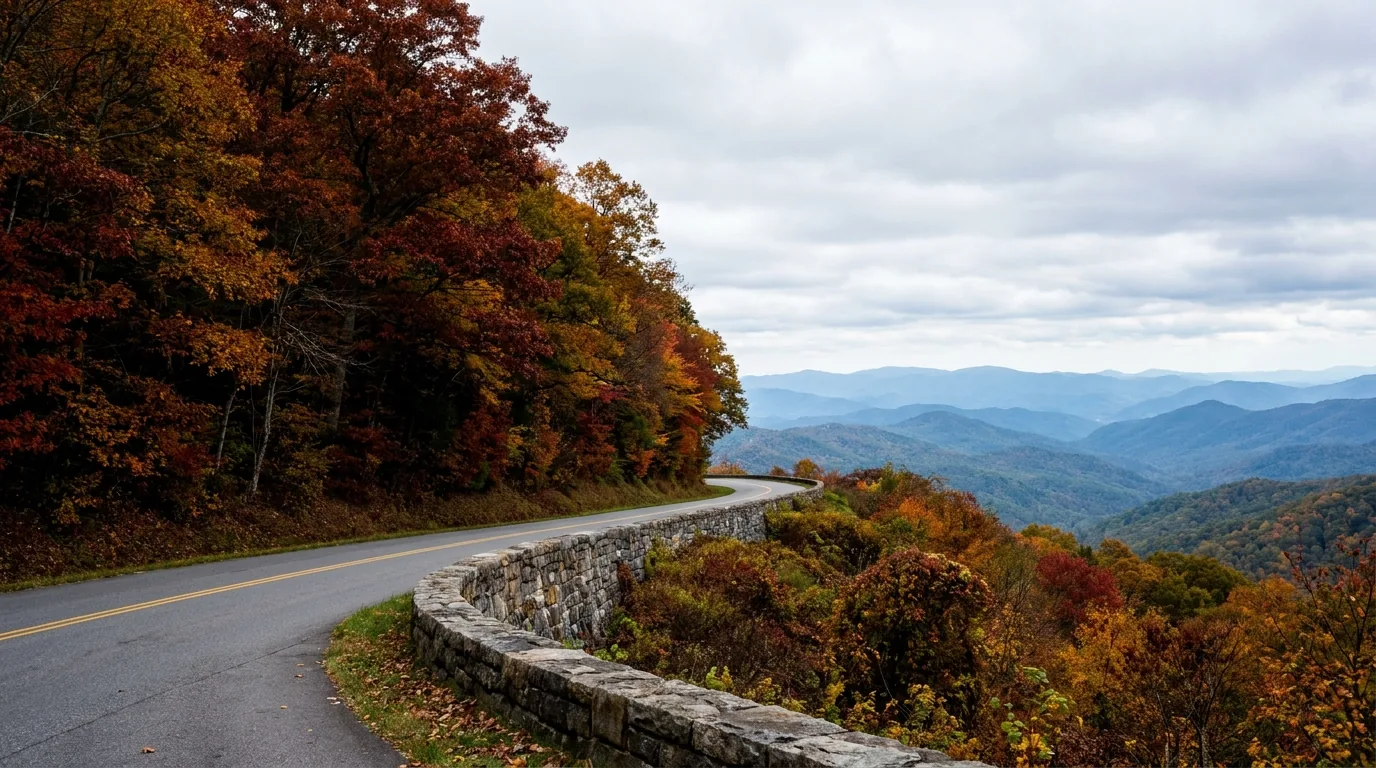
A scenic parkway along the park's northwestern flank, with big long views across the ridges and a fraction of the traffic on Newfound Gap Road. Foothills Parkway West runs 33 continuous miles (Sections 8G, 8F and 8E) from Chilhowee to Wears Valley; Look Rock Campground sits on Section 8G, ~9.5 mi from Walland. Foothills Parkway East, Section 8A, runs 6 miles from Cosby to I-40.
The "Missing Link": construction on the Walland–Wears Valley stretch began in 1966 and stalled in 1989 over terrain and geology on a 1.6-mile segment of Section 8E. Redesigned around nine bridges, the 16 miles from Walland to Wears Valley finally opened on 10 November 2018 — a 52-year build. Other planned segments were never built; the parkway has never been completed end to end.
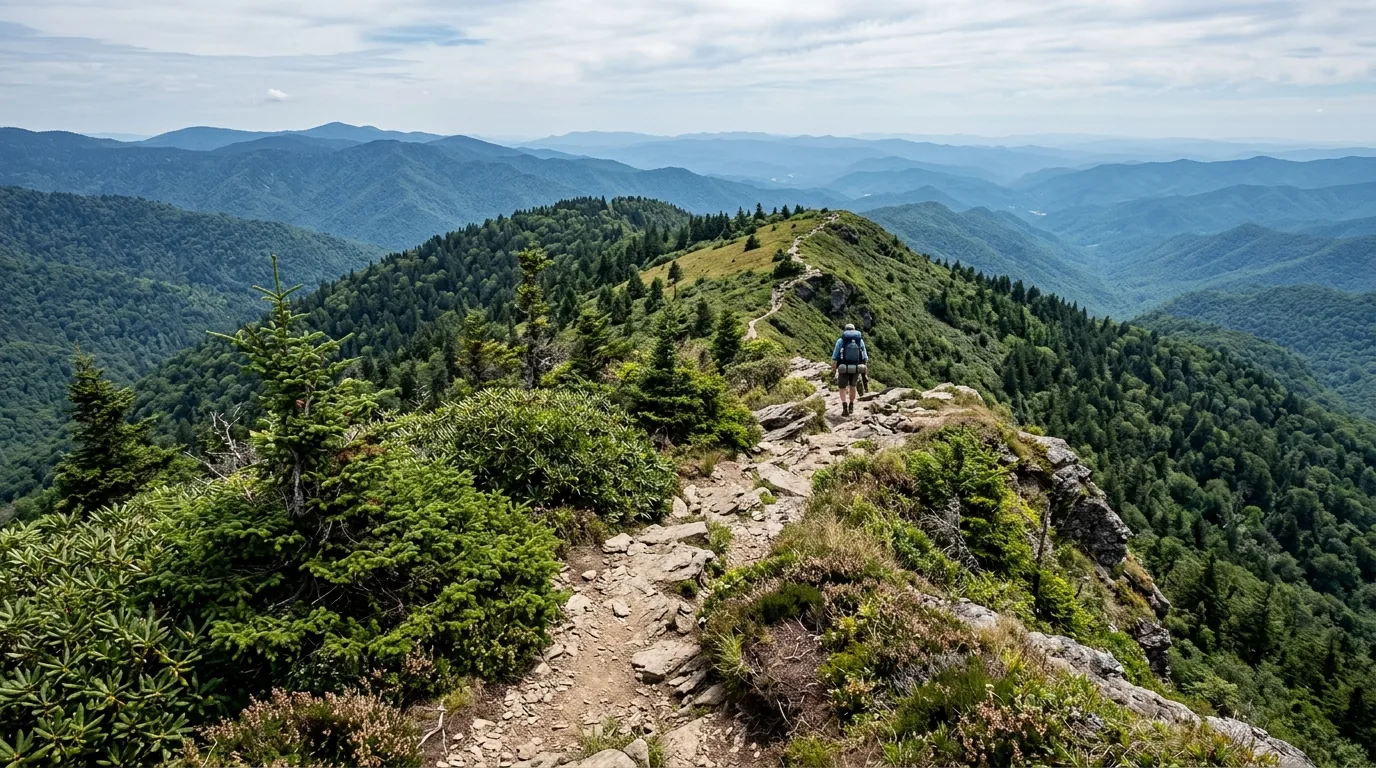
The park holds 848 miles of trail across 150 trails, including 74 miles of the Appalachian Trail — and the overwhelming majority of visitors walk about six of them. That is the crowding problem and the solution in one sentence. Below are the routes this guide can describe honestly. We print a distance only where we could confirm one; where we couldn't, we say so rather than inventing a number, because a wrong mileage on a mountain is not a rounding error.
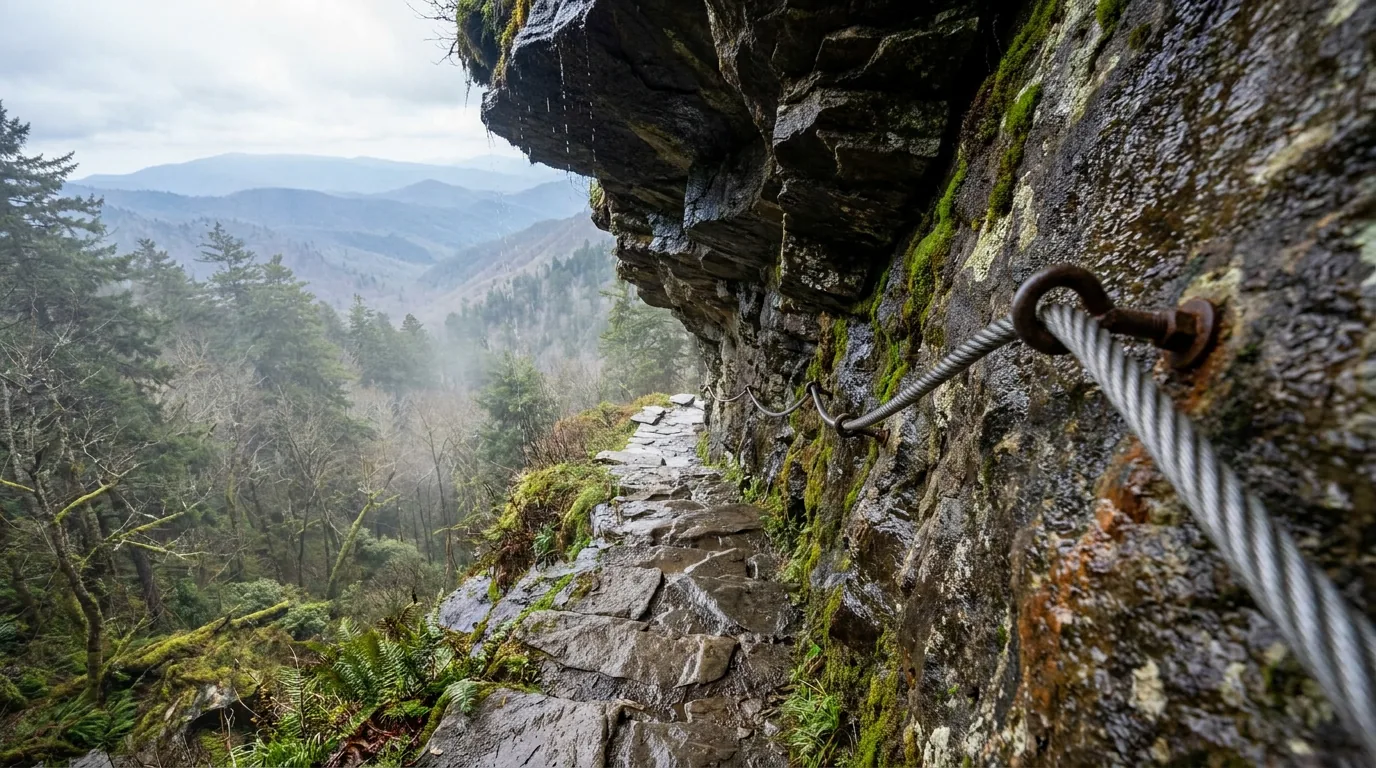
From Newfound Gap Road, up through Arch Rock, past Inspiration Point and the Alum Cave Bluffs to the summit area, with sunset at Cliff Top and sunrise at Myrtle Point. Steep, with cable handrails on exposed sections. Two ways to sleep up there: LeConte Lodge (hike-in only, no road access, genuinely hard to book — reservations release well in advance and demand vastly exceeds supply) or the LeConte Shelter, which needs a backcountry permit through Recreation.gov at $8 per person per night plus a $6 permit fee. Note: no consecutive nights at any shelter.
The summit is over 6,500 ft — it can be 10–20°F colder, wet and windy while Gatlinburg is warm and sunny. Carry a rain shell and insulation even in July. Bear cables at the shelter — use them. The trailhead lot fills by 8 am.
The classic LeConte plan is up one trail and down another. Rainbow Falls Trail drops out to Roaring Fork; the Boulevard Trail connects to the Appalachian Trail at Newfound Gap. Either way you finish somewhere other than your vehicle, so arrange a shuttle — several operators serve these trailheads (§08).
Bullhead Trail — the other common LeConte descent — is closed Mondays through Thursdays (excluding federal holidays) from 4 May to 19 November 2026 for rehabilitation, open Fri–Sun. Plan the descent around that.
~5 miles round trip from the Cades Cove Loop. The best-known hike on the TN side and the natural pairing with a dawn loop drive.
Slick rock at the falls — do not swim below it. The undertow there has killed people. Waterfall rock throughout this park is algae-covered and lethally slick; most serious waterfall injuries here are falls on wet rock, not drownings.
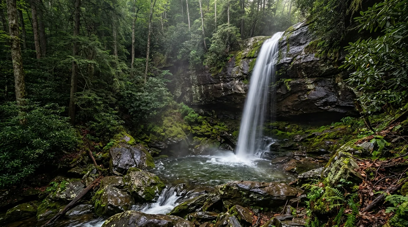
Off the Roaring Fork Motor Nature Trail — the one Smokies waterfall you can walk behind, through old-growth forest and past historic cabins on the drive in.
Roaring Fork is open 4/17–11/29 and bans RVs, trailers and buses outright — if you're towing, this hike needs the tow vehicle alone. Distance not confirmed here.
From Deep Creek near Bryson City NC: Tom Branch Falls, Indian Creek Falls and Juney Whank Falls in a short, easy circuit. The most family-friendly corner of the park, and the summer tubing hub besides (§05).
Distances not confirmed here — check the trailhead board. Tube rentals are outside the park boundary only (§08).
3.9 miles through old-growth in Cataloochee Valley, paired with the valley's historic structures — Palmer Chapel, the Palmer House, Beech Grove School, the Caldwell House and Hiram Caldwell Barn, the Messer Barn — and good trout water in Cataloochee Creek.
Access is the narrow gravel Cove Creek Road with blind curves; motorhomes over 29 ft and trailers over 25 ft are not recommended. No cell service — download your reservation first. Post-Helene access to parts of the valley has been restricted — verify before you drive it (§07).
From Big Creek (off I-40 at the Waterville Rd exit, Waterville NC), the walk to Midnight Hole and Mouse Creek Falls — the easiest way to touch the park's quiet northeastern corner, with a 12-site walk-in tent campground at the trailhead (§07).
Distances not confirmed here. Big Creek Campground is tent-only, no RVs, generators prohibited.
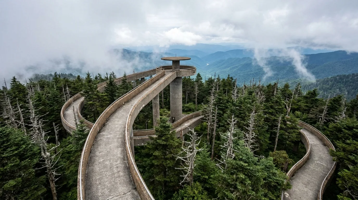
Restored in 2024 to its Cherokee name, Kuwohi is the 6,643 ft high point of the park, of Tennessee, and of the entire Appalachian Trail, topped by a spiral concrete observation ramp. A 7-mile paved spur off Newfound Gap Road gets you to the parking area; the ramp is a short, steep paved walk from there. Add Andrews Bald via the Forney Ridge Trail if you have the legs.
Kuwohi Road is open 4/1–11/29 and closed roughly Dec 1–Mar 31 — in winter the summit is on foot from Newfound Gap only. Kuwohi and the ridgelines are fogged in a large share of the year, and it runs 10–20°F colder than the valley.
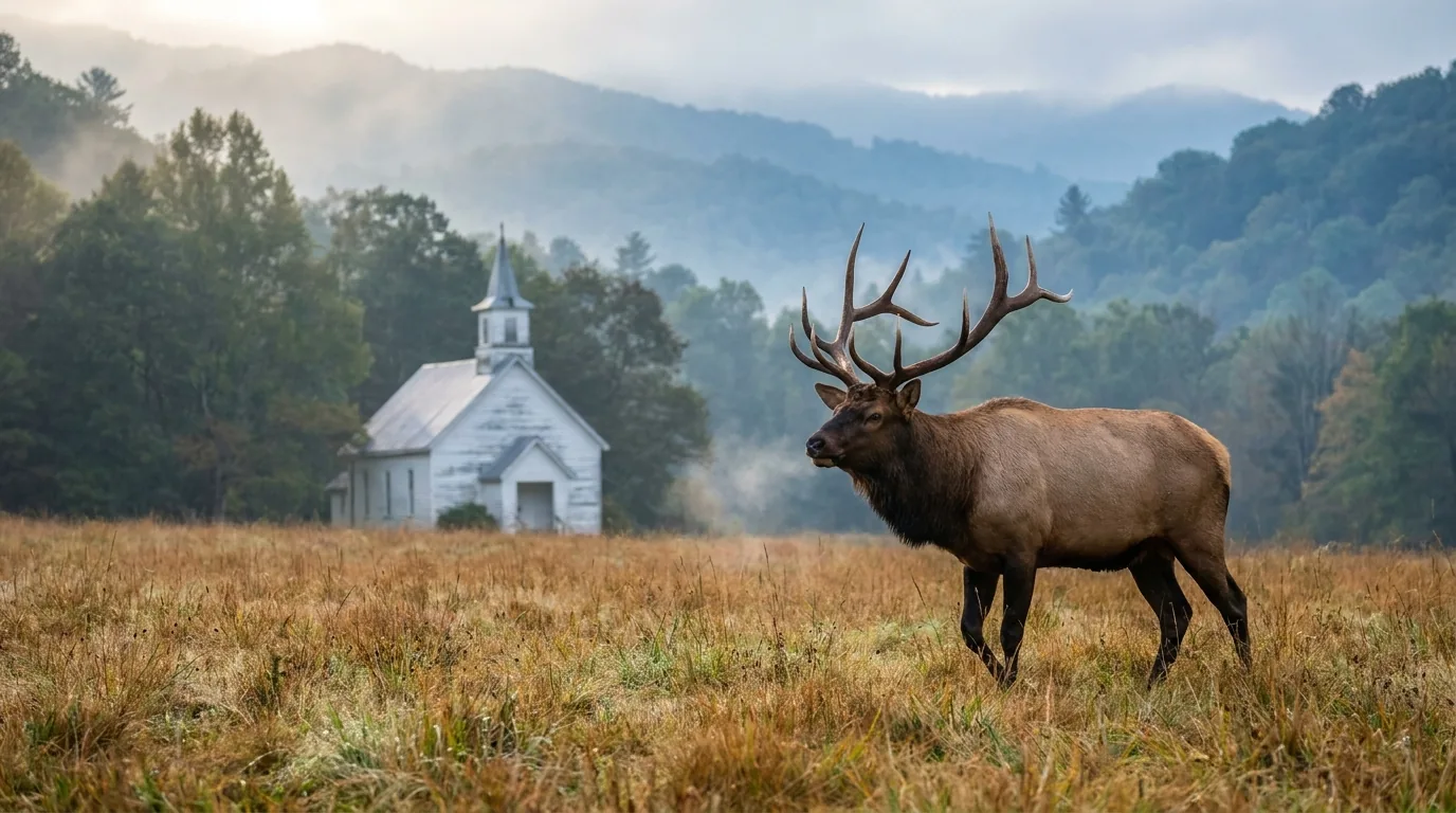
More than 22,744 documented species live in these 800 square miles — 2,463 plants, 70 mammals, 254 birds, 76 fish, 45 amphibians, 40 reptiles and 3,500+ fungi — which is why this is a UN World Heritage Site and an International Biosphere Reserve, and why it's the world capital of salamander diversity. Three of those species will shape your trip: the black bear, the reintroduced elk, and a firefly that flashes in unison.
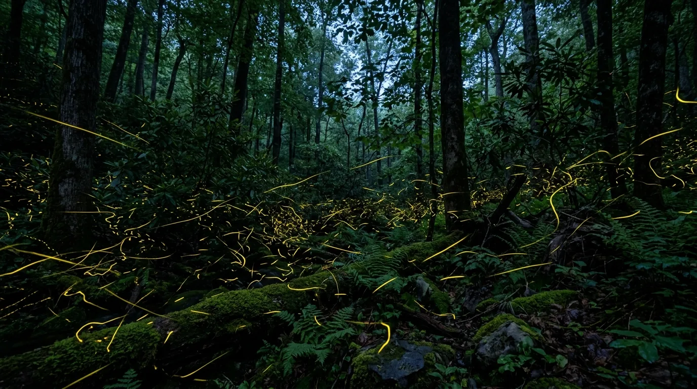
For roughly a two-week window, typically late May into mid-June, Photinus carolinus at Elkmont flash in unison through the understory — thousands of them, one of the strangest natural events in North America. The park announces each year's dates in the spring, based on that season's phenology.
Access is by Recreation.gov vehicle-pass lottery only. The application window opens months in advance and is heavily oversubscribed. You cannot drive to Elkmont during the event without a pass.
The dates and the lottery window change every single year — verify both on nps.gov/grsm and recreation.gov, and do not plan around last year's schedule.

You need EITHER a Tennessee OR a North Carolina fishing licence — not both. Either one is valid park-wide on both sides of the state line, and it's required for anyone 16 and over, resident or not. Licences are not sold inside the park — buy in the gateway towns or online first.
Season: year-round in open waters, 30 minutes before sunrise to 30 minutes after sunset. Artificial flies or lures with SINGLE hooks only — double, treble and gang hooks are prohibited, and possessing live bait, worms, corn or bread while holding tackle on or along a park stream is prohibited and strictly enforced.
Creel limit: 5 brook, rainbow or brown trout, smallmouth bass, or any combination per day; rock bass have a separate 20-fish limit. 7-inch minimum on trout and smallmouth; none on rock bass. A precautionary consumption advisory exists for smallmouth bass from Abrams Creek and Little River.
Most of what you need to get right here isn't exotic — it's food storage, two different wildlife distances, hypothermia at elevation in July, and a handful of park-specific rules that catch people out. The Smokies hold the densest black-bear population in the United States, drones are banned outright, and your dog is legal on exactly two of 150 trails. None of it is hard; all of it has to be planned before you go.
~1,900 black bears in 522,427 acres — about two bears per square mile, the densest population in the country. They live at all elevations. You will likely see one. Encounters peak May–August.
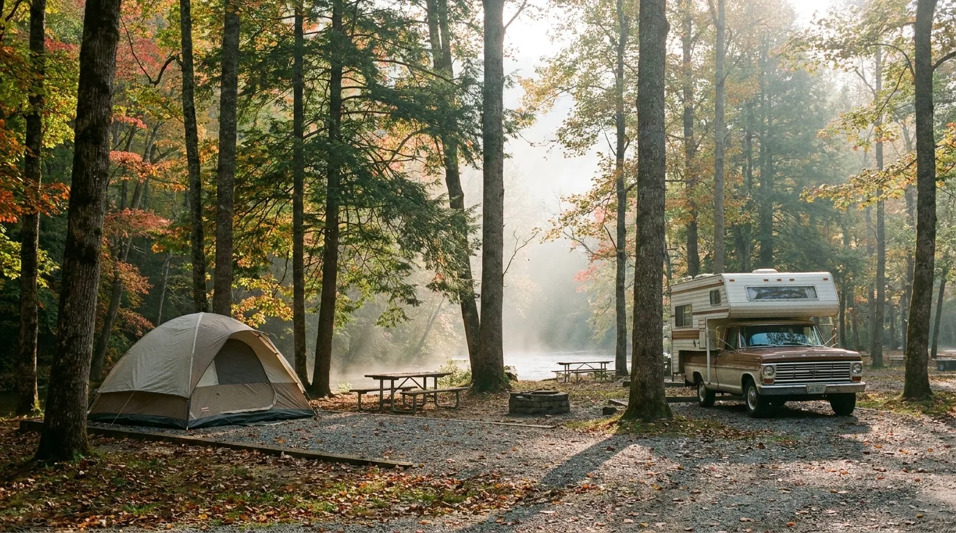
Camping here sorts into three buckets: the ten NPS frontcountry campgrounds (~950–1,000 sites), the permit-only backcountry (§06), and everything outside the boundary — which is where you go for a shower, a hookup or a legal dispersed camp. All in-park sites are reservation-only, year-round, through Recreation.gov (or 877-444-6777), bookable up to 6 months in advance. There is no first-come-first-served and no cash accepted on site.
| Campground | Sites / elevation | Where | Season | Fee & the catch |
|---|---|---|---|---|
| Elkmont TN · rec.gov 232487 |
220 sites (200 tent/RV paved + 20 walk-in tent; 9 ADA) | ~8 mi from Gatlinburg off Little River Rd | Seasonal (2026 dates unverified) | $30 · Largest and busiest in the park. No dump station on site — nearest is 6 mi away at Sugarlands. RVs and towed trailers cannot cross the Metcalf Bottoms bridge — approach from Sugarlands. Beside the firefly viewing area and the Elkmont Historic District |
| Cades Cove TN · rec.gov 232488 |
159 sites, Loops A/B/C | Cades Cove, TN — closest gateway Townsend | YEAR-ROUND — off-season (roughly Nov–Apr) only sites C1–12 and C26–61 | $30 · Dump station on site. Camp store open peak season (May–Oct) with basics, firewood and bike rentals — the only in-park camp store of note. Amphitheater with ranger programs. Generators banned in C Loop whenever B Loop is open |
| Smokemont NC · rec.gov 232486 |
~141–142 sites, loops A/B/C/D/F · 2,200 ft | Near Cherokee NC, just off Newfound Gap Rd | YEAR-ROUND — the second of the two | $30 · Loop F is RV-only (no tents). Dump station on site, tent pads. Best NC-side base — close to Oconaluftee, Mingus Mill and the elk |
| Cosby TN · rec.gov 232479 |
~127 sites, Loops A/B · 2,460 ft | ~20 mi from Gatlinburg via TN-32, ~1.5 mi S of the US-321 junction | Seasonal (2026 dates unverified) | $30 · Primarily a tent campground (16×16 ft pads); only ~20 sites suit RVs. Dump station on site. The park's quietest large campground — reliably has space when Elkmont and Cades Cove are full. NPS materials elsewhere cite 157–165 sites; treat the count as approximate |
| Deep Creek NC · rec.gov 10041304 |
92 sites — tent-only, RV non-electric, walk-to and standard | ~3 mi from downtown Bryson City NC | CONFLICTING: rec.gov lists year-round with intermittent office hours Nov–Apr; NPS lists it seasonal. Verify | $30 · Dump station on site. Creekside — the tubing and waterfall hub of the NC side. Books out fast in summer — reserve the day your 6-month window opens |
| Cataloochee NC · rec.gov 233284 |
27 sites · 2,600 ft | Cataloochee Valley; nearest town Waynesville NC | STATUS UNCERTAIN — see below | $30 · The elk valley. Motorhomes over 29 ft and trailers over 25 ft NOT recommended — narrow gravel Cove Creek Rd with blind curves. Very limited cell service — reserve before you arrive |
| Big Creek NC · rec.gov 273821 |
12 sites — TENT ONLY, short walk in · 1,700 ft | Waterville NC, off the Waterville Rd exit from I-40 | Seasonal (2026 dates unverified) | $30 · No RVs. GENERATORS PROHIBITED. Food storage lockers provided, bear-proof dumpsters, emergency phone at the nearby ranger station. Smallest campground in the park; walk-in only makes it the quietest |
| Balsam Mountain NC · rec.gov 273848 |
42 sites · 5,310 ft — the HIGHEST in the park | Via Heintooga Ridge Rd off the Blue Ridge Parkway at milepost 458.2, then ~9 mi | Can only open within 5/15–10/31 — that's when its only access road is open | $30 · Daytime highs rarely top 70°F; nights drop to the low 50s in summer — pack a real sleeping bag. No dump station. No lights in the restrooms — bring a headlamp. Some listings say 46 sites — approximate |
| Abrams Creek TN · rec.gov 273847 |
16 sites — A1–A9 directly on the creek; A13–A15 set back | Remote western corner, near Happy Valley / Chilhowee TN | Seasonal (2026 dates unverified) | $30 · Lowest, warmest campground — good early-spring and late-autumn option. Access road is narrow and large RVs are not recommended; we could not confirm an exact posted limit |
| Look Rock TN · rec.gov 10207636 |
68 sites — including 10 WITH ELECTRIC HOOKUPS (the only hookups in the entire park) | Foothills Parkway West, Section 8G, ~9.5 mi from Walland TN | Seasonal (2026 dates unverified) | $36 electric / $30 standard · Dump station on site. Ridge campground with the Look Rock observation tower and the Foothills Parkway views right there. The default answer for "I need power for a CPAP" or a big rig |
Cataloochee closed entirely in September 2024 after Hurricane Helene and only partially reopened on 4 April 2025. At that reopening, all Cataloochee campgrounds — main, group AND horse camp — remained closed, vehicles were allowed only as far as Beech Grove School, and the upper valley road was foot-traffic only. Third-party reporting projects full reopening of the worst-hit areas in late 2026, which we could not verify. Check the Recreation.gov availability calendar and the NPS conditions page before you plan a night there. Fallback bases for the elk: Big Creek (12 walk-in tent sites, off I-40) or Smokemont (year-round), day-tripping in.
Because the park itself sells you almost nothing — no fuel, no lodging, no restaurant, no grocery — the gateway towns aren't a nice-to-have, they're infrastructure. Seven of them matter, and which one you pick largely decides what your trip feels like. Everything listed below is a real, currently-trading business whose own website we resolved; seasons, hours, menus and prices change, so we link rather than quote, and a handful returned 403 or timed out to automated fetch and are flagged.
These are the operators that make a point-to-point LeConte descent work (§04).
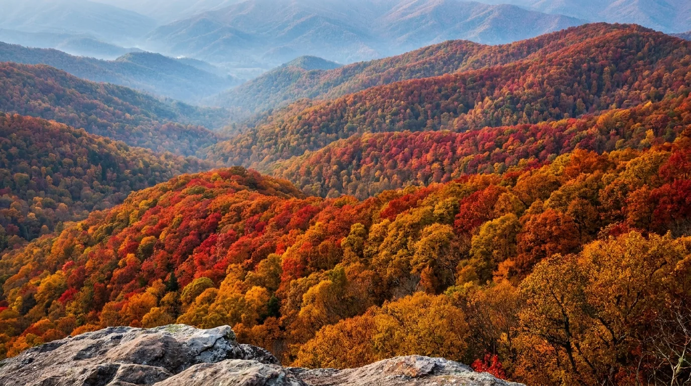
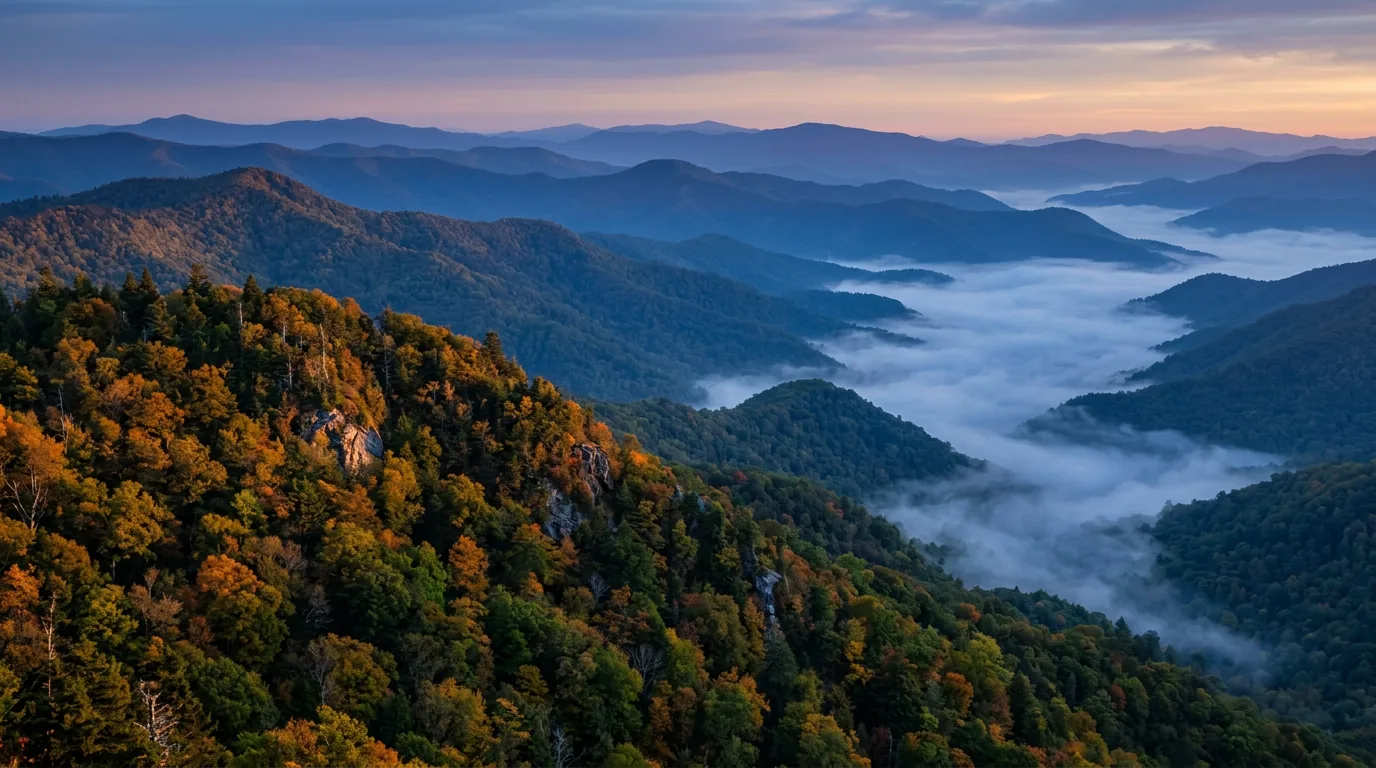
The Smokies have one marquee season and one enormous trade-off attached to it. The marquee is autumn colour, and because the park spans 5,700 feet of vertical relief, colour doesn't arrive as an event — it descends, over about six weeks. That's genuinely one of the great displays on the continent. It is also the single worst traffic situation in the National Park System. Both things are true, and how you play it decides the trip.
The park's 5,700 ft of relief means colour descends the mountain. Roughly:
Which means the whole point of an October trip is that you can drive to peak colour by choosing your elevation on any given day.
Colour timing shifts with the year's weather — check the week you go.
Five workable shapes, not the only ones. Each keeps the park's realities front and centre — the parking tag, the fuel gap, the rig limits, the 6-month booking window and the traffic. Adjust freely, but buy the tag, fill up outside the boundary, and check the closure page before you count on any specific trailhead.
Run it before you leave. Tap each item as it's done — these are the ten things specific to the Smokies that a general road-trip habit will skip. Most of them come back to two facts: the park sells you nothing once you're inside it, and every overnight is reserved months ahead.
Every guide has these; most don't print them. The Smokies are still working through Hurricane Helene damage, several NPS pages load their date tables via JavaScript and return nothing to a fetch, and a major trail's rehab window expires right about now. Everything below was compiled 24 July 2026 and should be re-checked against the linked official source before you rely on it.
Everything above, condensed into a print-ready PDF built for the glovebox — for a park with no fuel, no showers, no cell signal and twelve million visitors. The parking tag decoded, all ten campgrounds with honest fees and the workaround for the season dates NPS won't publish, the rig limits collected in one place, the bear and elk distances that are not the same number, the trails we could describe honestly, the elk and the firefly lottery, the October traffic told straight, the gateway towns and outfitters, and the honest list of what nobody could confirm — on paper that works where the bars don't.
Every Trekkr Trail Journal is built like this one: custom logistics, honest trail beta, the camping and access detail, and the local knowledge that turns a good trip into the one your crew talks about for years — including, always, a plain list of what we could not confirm. New destinations drop all season long, from the southern Appalachians to the Canadian Shield to the Utah canyons.
Unlock the Trail Journal Library