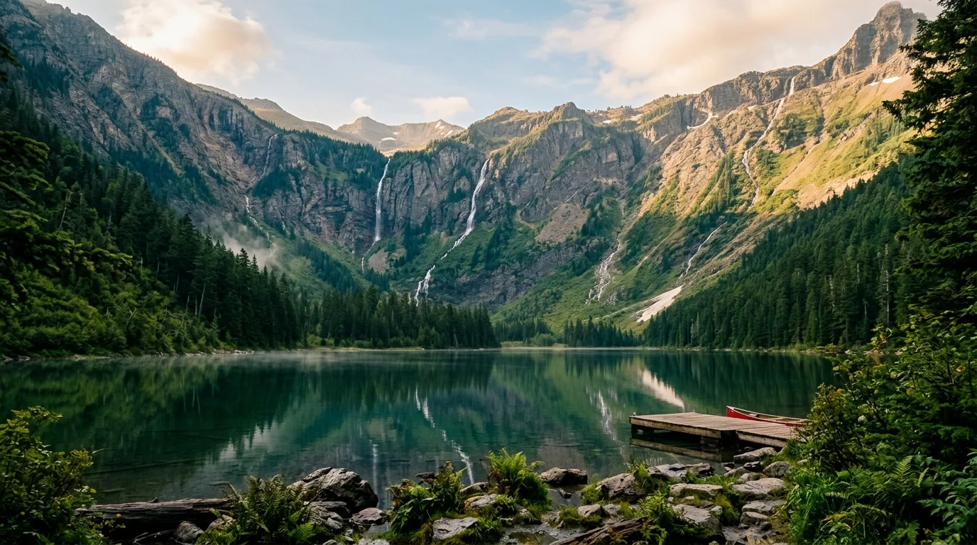
The other half of the park you already know. Waterton was Issue 004; this is what's on the far side of the line — one UNESCO World Heritage site, two countries, two rulebooks, and a third that flips again at the park's eastern boundary. Written for Canadians driving south, by people who have been turned back at a border with the wrong can of bear spray.
Many Glacier took 4.3 inches of rain between 26 June and 1 July, the valley closed and the hotels evacuated. Almost all of it is back. The parts that aren't are specific, and they are not the parts the internet is talking about. Everything else in this journal is evergreen; this box is not.
If you have Issue 004 on your shelf, you already own half of this park. Waterton Lakes and Glacier are not neighbours — they are one property. UNESCO inscribed the Waterton-Glacier International Peace Park on 6 December 1995 as a single World Heritage site, number 354, spanning two countries. In 1932 the two parks became the world's first International Peace Park. Waterton was Canada's fourth national park (1895); Glacier became the tenth in the United States on 11 May 1910. The mountains don't change at the 49th parallel. Everything else does.
That is the entire reason this issue exists. A Canadian driving to Glacier crosses three rulebooks in about two hours. At the border, Canadian law stops and American law starts — and the two governments do not agree with each other about what is in your door pocket. At the park gate, Montana law gives way to federal park regulation, where your dog becomes contraband on every trail and your fishing licence becomes unnecessary. And at the park's eastern boundary, you enter the Blackfeet Nation, where you need a tribal permit to do things you were doing for free four hundred metres earlier.
Nobody writes those transitions properly. American guides write for Americans and have no idea what an Albertan is carrying. Canadian guides copy the American ones. The result is an ecosystem of confident, wrong advice — and three specific myths that this issue takes apart with sources.
Not in 2026. The NPS, verbatim: "Vehicle reservations will not be required in 2026." Parkwide. Every guide still telling you to fight for a slot is describing a system that no longer exists. §02
The USGS inventory says 80. Then 32 in 2005, and 26 in 2015. The 150 figure has no USGS or NPS source we can find. The myth is more famous than the measurement. §13
CBP and the NPS both say an EPA label satisfies Canada. No Canadian source supports that, and Canadian law appears to contradict it. This is the single most valuable page in the issue. §06
This is the section that dates every other Glacier guide on the internet. For three seasons the park ran timed-entry vehicle reservations. In 2026 they're gone — replaced by two quieter mechanisms that will still ruin your day if you don't know about them.
A ticketed pilot for 2026: $1 per person processing fee, everyone aged 2 and up needs a ticket, under-2s ride lap-free. 1 July – 7 September 2026.
Logan Pass parking is capped at 3 hours, 1 July – 7 September — and the part everyone misses: it is in effect 24 hours a day. Not 9-to-5. Not "peak hours." Around the clock.
Something American guides can't tell you, because it doesn't apply to them: two of the passes on Glacier's own fee table are either closed to you or priced at three times what your neighbour pays.
| Pass | Summer | Winter (Nov 1 – Apr 30) | Duration | Available to a Canadian? |
|---|---|---|---|---|
| Private vehicle | $35 | $25 | 7 days | Yes — and this is your buy |
| Motorcycle | $30 | $20 | 7 days | Yes |
| Individual (foot / bike) | $20 | $15 | 7 days · under 16 free | Yes |
| Glacier Annual | $70 | — | 1 year | NO — US citizens and residents only |
| America the Beautiful | $80 resident / $250 NON-RESIDENT | — | 1 year | Yes, at $250 |
All figures USD. America the Beautiful 2026 also: Senior annual $20 · Senior lifetime $80 · Military free · Access free · 4th-grade free. There are 8 fee-free days in 2026 — we could not verify the exact dates, so we're not listing them; ask at the gate or call 406-888-7800.
Card only. At the gate, everywhere. A small fact that lands hard on border-crossers, because the instinct after a currency exchange is to arrive with a fold of USD in the console for exactly this. That fold buys you nothing at the entrance station. Bring a card that works abroad — and see §18 on foreign-transaction fees and the gas-pump pre-authorisation trap, the same lesson with a bigger bite.
Keep these separate, because the park does: the entrance fee is not camping, and neither is the $1 shuttle. The $35 gets your vehicle through the gate for seven days. A campsite is its own charge (§08). The shuttle is a dollar a head and buys a seat, not entry. A backcountry permit (§10) is a fourth line item with its own fees. Four systems, four transactions, no bundle.
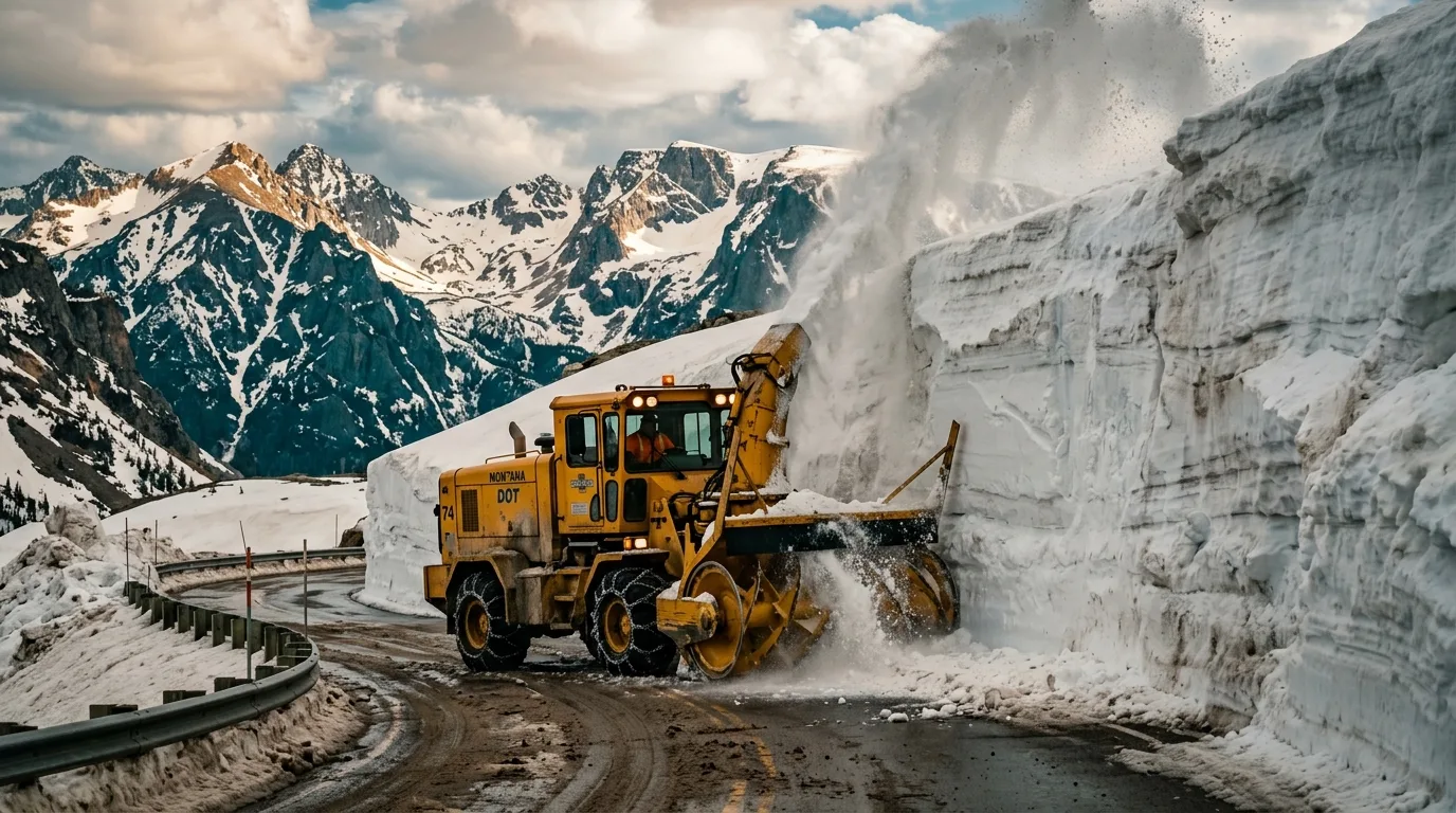
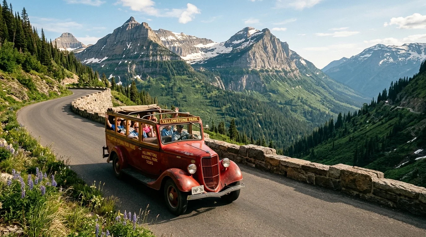
About fifty miles from Apgar to St. Mary, over the Continental Divide at 6,646 feet, with a hard number attached: if your vehicle is longer than 21 feet or wider than 8 feet, a section is closed to you and there is no discretion in it.
2026: fully open 22 June (NPS release, 23 June) — then closed by the flood on 29 June and reopened 30 June. That's the season you're driving into: opened, shut, opened again, inside nine days.
The pattern: typically fully open by early July, closing the third Monday of October. Recent full openings — 13 July 2020, 25 June 2021, 13 July 2022. Earliest ever: 16 May 1987; latest in that run, 13 July. A mid-July trip is safe on the averages; mid-June is a coin toss with the Big Drift.
One honest correction: you'll read a dramatic depth figure for the Big Drift. We can't verify it anywhere. What is documented is construction engineers facing "sixty foot snow-drifts" (HAER). Use that number, with that attribution, and let the internet keep its eighty.
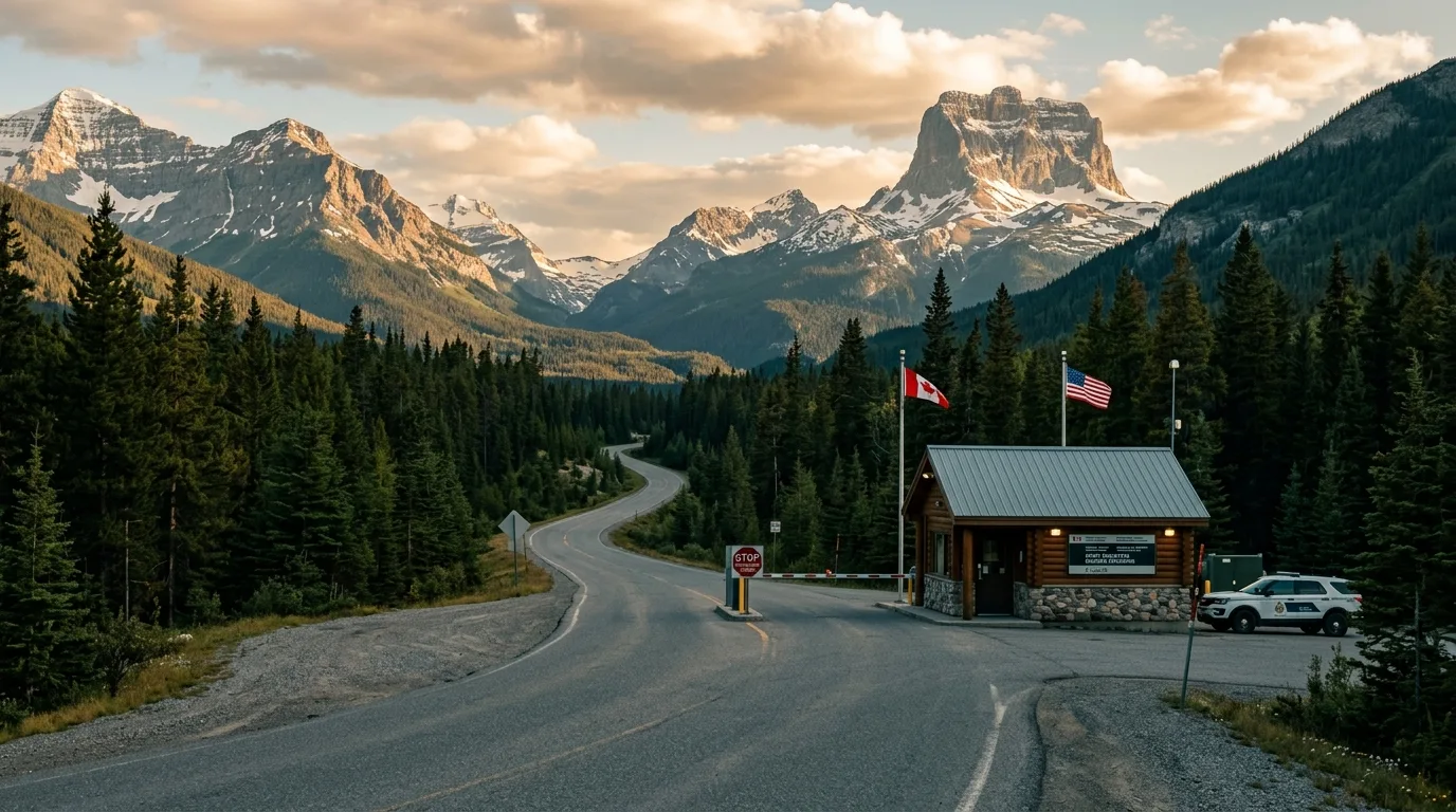
The shortest way from Waterton to Many Glacier is a seasonal port whose hours step three times over its own season — and the American page describing them is stale by three years.
| Canadian port | US port | Highways | Hours | Use it for |
|---|---|---|---|---|
| Chief Mountain AB | Chief Mountain MT | Hwy 6 / MT-17 | SEASONAL — see below | Many Glacier & St. Mary — shortest from Waterton |
| Carway AB | Piegan MT | Hwy 2 / US-89 | 07:00–23:00 daily — NOT 24 h | St. Mary and the GTSR east portal. The Chief Mountain fallback |
| Roosville BC | Roosville MT | Hwy 93 / US-93 | 24 hours | Whitefish, Kalispell, West Glacier — the only 24 h port on the west side |
| Coutts AB | Sweetgrass MT | Hwy 4 / I-15 | 24 hours | Fast, late, or oversize. The interstate option |
| Del Bonita AB | Del Bonita MT | Hwy 62 / MT-213 | 09:00–17:00 — no seasonal variation | Short-hours rural. Not a Glacier route |
| Wild Horse AB | Wild Horse MT | Hwy 41 / MT-232 | May 15 – Sep 30 08:00–21:00; otherwise 08:00–17:00 | Short-hours rural. Not a Glacier route |
Cross-confirmed by the CBSA port directory, which describes the long-hours window as "June 1 to Labour Day" — and Labour Day 2026 falls on Monday 7 September, so the two sources agree exactly.
There is no time change at any of these crossings. Alberta and Montana are both Mountain. Drive south, your clock is right.
The one that trips people is Roosville, because it's in British Columbia and BC reads as Pacific. It isn't, there — the Kootenays run on Mountain. A 2026 wrinkle worth knowing: BC moved to permanent daylight time on 8 March 2026, but the Kootenays are carved out and, in the province's own words, "remain aligned with Alberta" (gov.bc.ca, updated 23 March 2026). The region that would have been confusing is the one that stayed the same as home.
The most valuable section in the issue and the one we're least certain about — which is exactly why it's worth $9.95. Two governments describe your bear spray differently, one is describing the other's rules, and nobody on the Canadian side has confirmed it.
Canada → USA: permitted. CBP Article 1637 (published 4 November 2025), verbatim: "Bear spray is permitted in the United States when crossing the land border." No EPA condition is attached to travellers in that sentence.
The machinery behind it: bear spray is a pesticide under FIFRA, but the regulation that would bite (40 CFR 152.15) binds a person who "distribute[s] or sell[s]" a pesticide. A traveller with a can on their hip does neither.
One honest wobble: we could not verify that CBP doesn't require an EPA Notice of Arrival (Form 3540-1). 19 CFR 12.112(a) says an importer "must" file one, and no personal-use exemption exists in 19 CFR 12.111–12.114 or 40 CFR 152. In practice nobody is ever asked — but that's practice, not a carve-out, and we won't assert a carve-out that isn't written down.
The claim you'll read everywhere, including from CBP and from Glacier National Park itself: "Canadian Customs will allow bear spray approved by the USEPA to enter Canada… must bear USEPA on the label."
Look at what that is. It is a US agency asserting what Canadian customs will accept. We went looking for the Canadian source behind it. There isn't one. No CBSA page and no Health Canada page says an EPA number alone suffices — and read the Canadian rules directly and they appear to say something closer to the opposite.
1. The animal/person distinction is real and in your favour. Criminal Code SOR/98-462, Part 3, item 1 prohibits devices designed to incapacitate "any person." Bear spray is designed for animals, so it isn't caught. Personal-defence pepper spray is a prohibited weapon in Canada. That part everyone gets right.
2. CBSA memorandum D19-13-2 (modified 25 June 2026) spells out the exception: "Aerosol or similar dispensers that contain substances capable of repelling or subduing animals (e.g., dog or bear repellent) are not considered prohibited weapons if: (i) The label… indicates specifically that it is for use against animals only (ii) The provisions of the Pest Control Products Act are met" — and helpfully, "there is no minimum quantity or capacity requirements… with respect to animal repellents."
3. Prong (ii) is where it breaks. The Pest Control Products Act s.6(1) bans possessing, importing or using an unregistered pest control product. The personal-use exemption (PCPR SOR/2006-124 s.3(1)(f)) carries five cumulative conditions — including a 500 g/mL cap and a requirement that the product would be class "DOMESTIC" if registered. PCPR s.5(a) defines DOMESTIC as "for personal use in or around their homes."
4. And every Canadian-registered bear spray we checked is class RESTRICTED, not DOMESTIC. PCP 22137 Counter Assault · PCP 26619 Frontiersman · PCP 27715 UDAP. Bear spray is not a product for use around your home, so it doesn't land in the class the personal-import exemption requires.
5. The myth is traceable to a real document, read half-way. Health Canada's "Importing pesticides for personal use" (September 2025) does list "an authorization number from the country of origin (e.g. U.S. EPA registration number)" — as one of six cumulative conditions, the very next of which is the DOMESTIC class test that bear spray fails. Somebody read condition one and stopped. That factsheet warns CBSA "will refuse entry of ineligible pesticides" and that Health Canada "may impose a monetary penalty."
This surprises people. 36 CFR 1.4 defines "weapon" to include an "irritant gas device," and 2.4(b)(1) prohibits weapons. Bear spray is legal in Glacier only because the park's Compendium says so. The NPS states plainly that "some parks do not allow the possession or use of bear spray."
Glacier's Compendium (22 June 2026) permits it "for the strict purpose of protecting one's self or others from bodily harm against aggressive wildlife" — and sets specifications: EPA-registered, commercially manufactured, labelled "Bear Spray," 1–2% capsaicin.
The sting in the tail: a Canadian-only can could fail Glacier's own compendium on the EPA-registration point. The dual-registered brand solves both directions at once — which is why we recommend it.
And one that catches people: you may not apply it to equipment or your surroundings as a repellent. Spraying your tent is illegal — and it attracts bears rather than repelling them. It's a deterrent for an animal in front of you, not a perimeter.
Every generic Canada-to-US guide offers you an enhanced driver's licence. For an Albertan that option does not exist — and there's a 2025/26 registration rule that explicitly names Canadians.
CBP's WHTI rules (modified 17 June 2026) accept a passport, an EDL, or NEXUS / SENTRI / FAST. But there is no Alberta EDL. DHS lists enhanced licences from British Columbia, Manitoba, Ontario and Quebec only. So the list collapses to two items: a passport, or NEXUS. If a guide offers you a third option, it wasn't written for you.
This one explicitly names people like you and hasn't reached the guidebooks. DHS final rule, 29 June 2026, adopting the April 2025 interim rule: aliens 14 and older who remain in the US 30 days or longer must register — and it "applies to each trip of 30 days or more."
USCIS lists, as NOT already registered: "Canadian visitors who entered… at land ports of entry and were not issued evidence of registration, such as a Form I-94." That is a precise description of you at Chief Mountain.
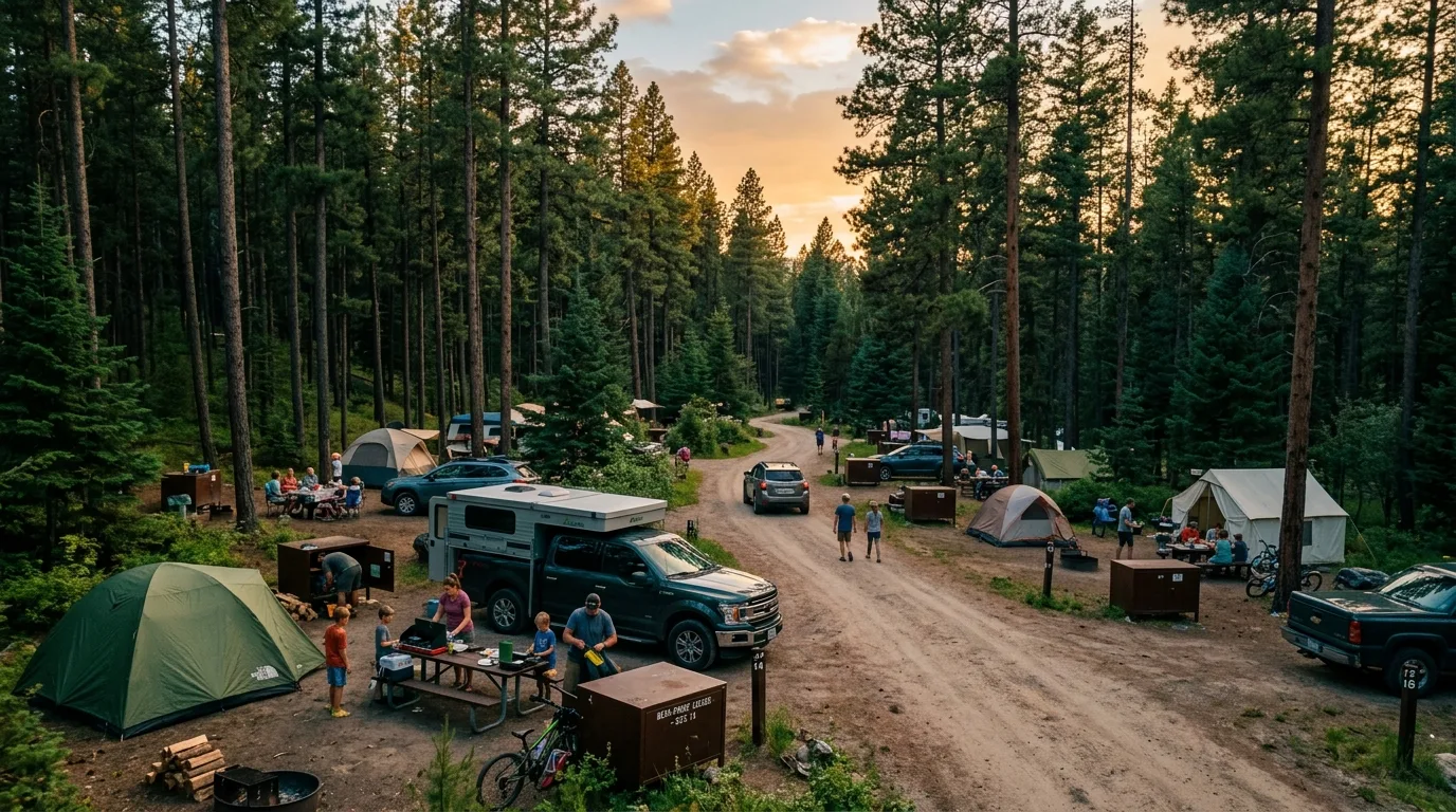
Eight take reservations, five don't, none have hookups, and the figure that decides where you sleep isn't the price — it's the length of your rig.
Apgar · Avalanche · Fish Creek · Many Glacier · Rising Sun · Sprague Creek · St. Mary · Two Medicine.
Booking runs mostly on a 6-month window — but "a good handful" of sites are held on a 4-day window. That short window is the late-planner's play: a Glacier trip decided on a Tuesday for the coming weekend is not automatically a lost cause.
At press: Two Medicine Campground is closed (§00). It's on the reservable list, so check before you count on it.
Bowman Lake · Cut Bank · Kintla Lake · Logging Creek · Quartz Creek.
Read that against the length table and you'll notice something: every one is capped at 21 feet. The first-come campgrounds are, structurally, the small-rig campgrounds. Driving something long, the spontaneity option isn't really open to you — which pushes you back to the 4-day booking window rather than a hopeful drive up the North Fork.
Meanwhile nps.gov/glac/learn/news/campground-opening-dates.htm ranks high, looks entirely authoritative, and hands you clean, confident per-campground dollar figures. It is archived 2015 content. Eleven years stale, on the park's own domain, with no banner saying so. That page is where every wrong Glacier fee on the internet comes from. Budget against the $15–$30 range and pay what the sign says.
| Campground | Vehicle length limit | Notes |
|---|---|---|
| Apgar | largest 25 sites max 40' | 194 sites, potable water, hiker/biker Scan-and-Pay. The big-rig option, west side |
| St. Mary | 3 sites max 40'; 22 sites max 35' | The big-rig option, east side. Three sites at 40 feet is not a lot of sites |
| Fish Creek | 18 sites max 35'; 62 sites max 27' | Reservable |
| Many Glacier | largest 13 sites max 35' | ~110 sites, dump station at the entrance. NPS: "driveways very small, will not accommodate towed units over 21 feet" |
| Two Medicine | largest 10 sites max 35' | CLOSED at press — see §00 |
| Avalanche | largest 50 spaces max 26' | The shuttle no longer stops here (§02) — the lot does double duty and fills first |
| Rising Sun | largest 10 sites fit 21'; over 21' not allowed | The east end of the GTSR size restriction |
| Sprague Creek | over 21' not allowed | Generators banned entirely |
| Bowman Lake | over 21' not allowed | First-come |
| Cut Bank | over 21' not allowed | First-come. Generators banned entirely |
| Kintla Lake | over 21' not allowed | First-come |
| Logging Creek | over 21' not allowed | First-come |
| Quartz Creek | over 21' not allowed | First-come |
The park's word is not "unavailable," it's prohibited: "connection to water, sewer, or electrical outlets is prohibited." There is no serviced site in Glacier to be found or negotiated for. Many Glacier has a dump station at the entrance. Plan a dry camp with a tap nearby, because that's what it is.
8–10 am, 12–2 pm, 5–7 pm only. Six hours a day in three blocks. Banned entirely at Sprague Creek and Cut Bank. Quiet hours 10 pm – 6 am. If your fridge and furnace both need power you don't have, do that arithmetic in the driveway, not at 11 pm at Many Glacier.
14 days from 1 July to Labor Day; 30 days from Labor Day to 30 June. The detail that catches long-trip people: days combine across visits. Leaving the park and coming back does not reset your clock. It's a seasonal total, not a per-stay allowance.
There is no dispersed camping in Glacier. There is a great deal of it right next door, for nothing, with no permit — and a food-storage order attached that is not advice, it's law.
The Middle Fork Flathead corridor has a 3-day limit per one source and 16 days per another. Unresolved. Planning a long stay there is a phone call, not a guess.
Not a suggestion, and not the park's rule leaking across the boundary. A Forest Service order covering all National Forests in the NCDE, including the whole Flathead, in effect annually 1 March – 31 December, through 2028.
Acceptable storage: a hard-sided camper, a vehicle trunk or cab, an enclosed horse trailer, an IGBC-approved container, or suspended at least 10 ft up and 4 ft from the support.
If you've read §15 you'll recognise those numbers. They're the same ones Glacier uses, for the same reason, traceable to the same night in 1967. The boundary changes who enforces it. It does not change the bear.
Hungry Horse fees: unverified. The only figure we found was $13 at Spotted Bear, undated, which is worth nothing. We're not printing it as current. Same number: 406-387-3800.
If you're reading this in July, both 2026 lotteries closed months ago and you missed them. That's not the setback it sounds like — roughly a third of the park's backcountry sites are held back for people standing at a counter.
Roughly 30% of parkwide sites are held for walk-ups. Day before or day of, in person, at a Wilderness Permit office. The park's own advice: "Arrive early the day before."
For an Albertan this is the realistic route and arguably the better one. You cannot sensibly plan a March lottery entry around a weather window in a mountain range eight hours away, and the 16-mile-per-day cap on advance itineraries doesn't apply to the trip you build at the counter with a ranger who knows what melted out this week.
One hard deadline: a permit unclaimed by 4:30 pm on its start date is cancelled. A cut-off with two faces — it's how you lose a booked permit to a long border wait, and how a walk-up site appears at 4:31.
All figures are official NPS unless flagged. Where the NPS contradicts itself — and on Grinnell it does, three ways — we print the range and say so. That's not hedging; it's the park being inconsistent, and you're better off knowing.
| Objective | Level | Distance | Gain | Time | The catch |
|---|---|---|---|---|---|
| Hidden Lake Overlook | 1.4 mi (2.3 km) one-way | +460 ft (140 m) | 1–2 hr | Fits the 3-hr cap by design. POSTED past the Overlook | |
| Avalanche Lake | 2.3 mi (3.7 km) one-way | +500 ft (152 m) | 2–3 hr | No shuttle stop in 2026 — drive and park early | |
| Scenic Point | 3.9 mi (6.3 km) one-way | +2,350 ft (716 m) | 4–5 hr | No water, no shade, all wind | |
| Piegan Pass | 4.5 mi (7.2 km) one-way | +1,750 ft (533 m) | 4–6 hr | Reopened after the flood | |
| Siyeh Pass | 4.6 mi (7.4 km) from Piegan Pass TH | +2,240 ft (683 m) | 5–7 hr | Or 5.5 mi/+3,440 ft from Sunrift Gorge. Snow on the north side into July | |
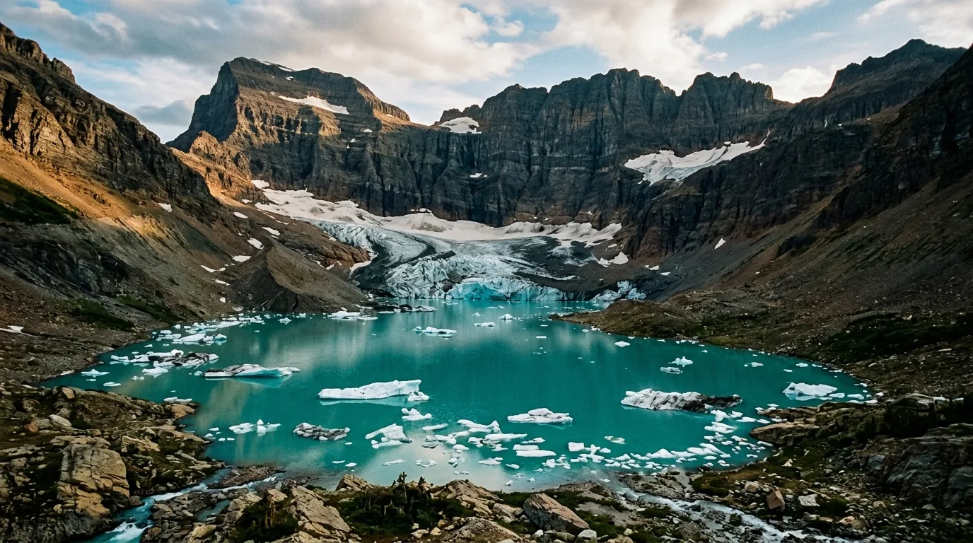
| Iceberg Lake | 4.8 mi (7.7 km) one-way | +1,200 ft (366 m) | 4–6 hr | Prime grizzly. Frequent closures. Best bergs late Jun–Jul | |
| Grinnell Glacier | 5–5.3 mi one-way (see note) | +1,600 to +2,461 ft | 6–8 hr | NPS contradicts itself. No water past the hotel | |
| Highline | 11.8 mi (19 km) one-way to the Loop | +2,388 / −4,773 ft | Full day | The shuttle is the crux, not the ledge |
High Divide trails are "typically snow free by late July" (NPS) — in mid-July, expect snow, and ice-axe conditions are common early on Siyeh's north side. Grinnell "does not typically open until mid-July."
Logan Pass to the Loop along the Garden Wall: the most famous trail in the park and, in 2026, the one whose difficulty has quietly moved from your legs to your planning. Shorter version: Granite Park Chalet, 7.6 mi and about +800 ft — the sane objective for most parties. The Loop Trail from below is 4.2 mi and 2,600 ft, and it's a grind in reverse.
MAIN CAUTION — the logistics, not the ledge: the 3-hour cap means you cannot park at Logan Pass and hike this. The NPS says so explicitly: Highline hikers must use the shuttle. So you shuttle in, walk 11.8 miles, and get picked up at the Loop — where pickup is afternoon-only. Miss it and you're stranded 8 road miles from your car, at the bottom of a canyon, with no signal. Confirm the schedule the morning you go; we won't print one, because the NPS's own shuttle page says it's "currently being worked on."
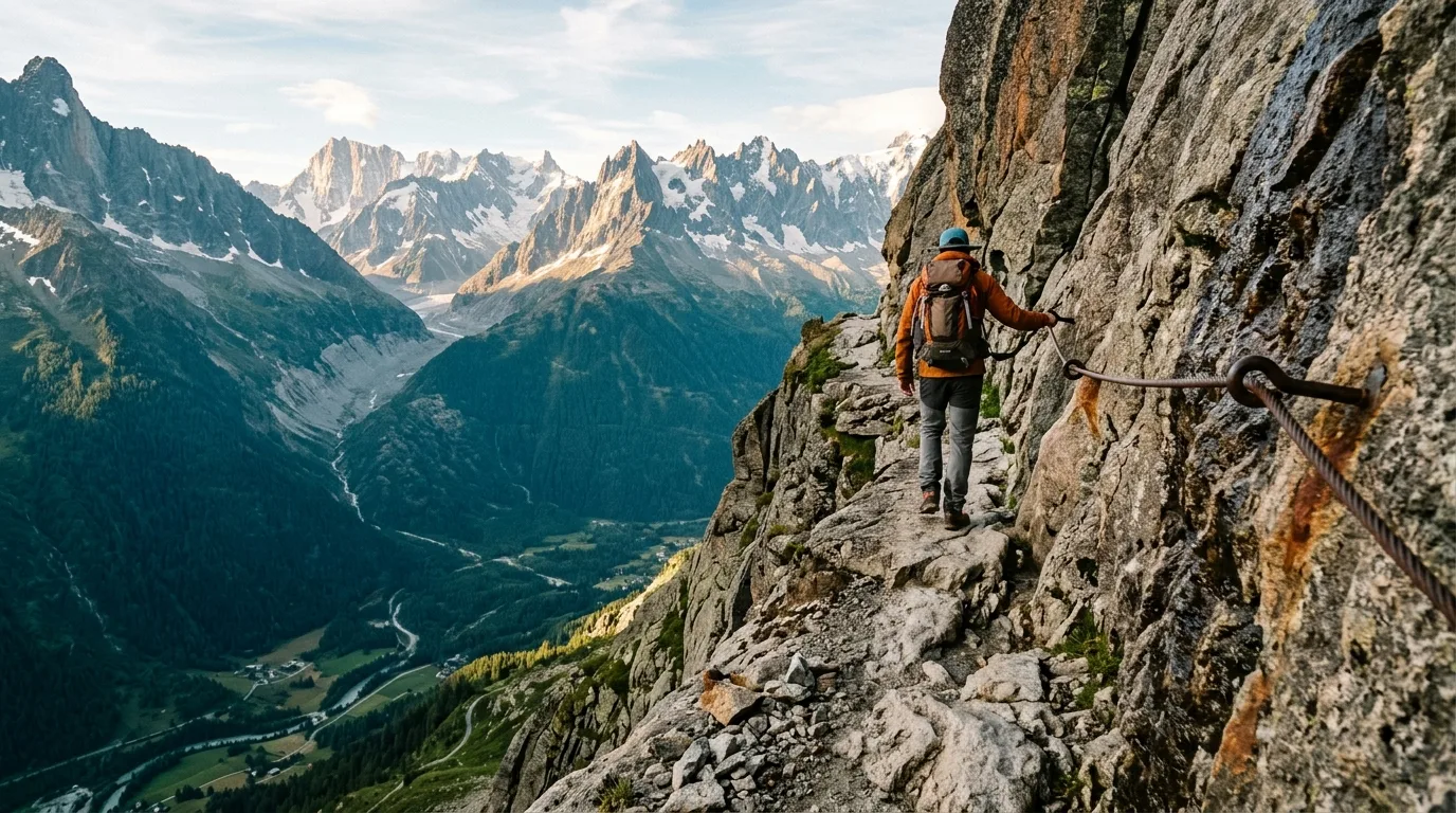
ON THE LEDGE: the NPS says only that it is "exposed." The famous dimensions — a 6-to-8-foot width, a drop of about 100 feet — are guidebook and consensus figures, not park measurements, and we're attributing rather than stating them. There's a hand cable. If exposure is a problem for someone in your group, that's a driveway conversation.
We print a range because the National Park Service publishes three different sets of numbers for this trail. Its Many Glacier hiking page says 5.3 mi one-way, +1,600 ft. Its places page says 5 mi, or 3.7 mi with the boat, +2,461 ft. The concessioner says 7.6 mi round trip, +1,900 ft. Those cannot all be right. We don't know which is, nobody has reconciled them, and pretending otherwise would be the easy lie. Plan for the top of each range.
MAIN CAUTION — water: there is no potable water past Many Glacier Hotel. Carry 3 litres per person and mean it — a six-to-eight hour day in the sun at altitude with a headwall in the middle. The trail "does not typically open until mid-July," and the lot fills before 7 am.
THE BOAT: Glacier Park Boat Co runs two boats — Swiftcurrent, then a walk, then Josephine — saving roughly 4 miles round trip. Last return from the head of Josephine is 5:45 pm; miss it and you walk the 4 miles you saved, tired. Reservations advised. 406-257-2426.
The number to carry up there, from the NPS: Grinnell lost 113 acres between 1966 and 2015. See §13.
Boardwalk and stairs from the visitor centre to a viewpoint over Hidden Lake, the whole Logan Pass basin behind you. It is the hike the NPS explicitly designed the 3-hour parking cap to accommodate — which makes it, in 2026, the officially sanctioned thing to do with a Logan Pass space. Add 1.2 miles to continue down to the lake.
LIVE AT PRESS (16 July): POSTED for bear frequenting on the Overlook→Lake segment. Read §00: POSTED means the trail is open and a bear is around. The Overlook is fine; the continuation carries the notice. Text GNPTRAILS to 333111 the morning you go — this changes daily.
ALSO: mountain goats are habituated here and this is where you'll be tempted to close the distance. 25 yards / 23 m from all wildlife other than bears and wolves. See §16 for why the tame-looking goat is the animal this park is quietly losing.
The east side at its most east: exposed, dry, windswept, climbing out of the trees fast onto a bare shoulder with the prairie running away behind you. A short trail with a lot of gain and nothing to hide behind — it takes a toll on people who packed for a shady forest walk.
MAIN CAUTION — 2026 access: Two Medicine Campground is closed (§00), and the North Shore trailhead is inaccessible for 2026 construction. The reroute requires a water ford — avoidable via South Shore, at about +1 mile. Sort this out before you drive to Two Medicine, not in the parking lot.
NO WATER, NO SHADE, ALL WIND. Carry everything. This is the Front, and the wind here is the same wind that flattens your awning in Pincher Creek.
The related statistic is better still and it's about something else: "Separated parties make up more than 75% of our search and rescue incidents." That's about staying together, not how many of you started. Don't conflate them. And don't confuse either with Jewel Basin's party limit of 12 — a maximum, in a different jurisdiction, for a different reason.
Short and worth it: Trail of the Cedars 0.7 mi loop, accessible · Running Eagle Falls 0.3 mi, accessible · St. Mary Falls 0.8–1.6 · Twin Falls 0.9 with the boat · Paradise Point 0.7 · Appistoki Falls 0.6 · Rocky Point 1.1 / +85 · Aster Falls 1.2 · Johns Lake Loop 3 / +160 · Upper Two Medicine 5 mi RT / +350 (the boat cuts 6 miles round trip).
An hour from the park's west side, a 15,349-acre block where the rules are the attraction: no bikes, no horses, no motors, no permits, no fees, no reservation system. In a summer built around tickets and caps, that reads like a typo.
Camp Misery trailhead, 5,717 ft: Echo Lake Road about 3 miles, then Jewel Basin Road #5392 about 7 miles. Parking is limited — that's the whole crowd-control mechanism, and it does its job on a July Saturday.
The standard day: Mt. Aeneas (7,528 ft — the highest point in the Flathead National Forest) plus the Picnic Lakes loop, about 6 miles round trip. That 6-mile figure is trip-report consensus, not official — Trail #392 is 0.4 mi to the lakes from its junction, but the distance to Picnic Lakes as a whole is unverified. Treat it as approximate.
Same caveat as §09: fs.usda.gov blocked us, so this is search-summary material. 406-387-3800.
The most repeated fact about this park is wrong, and the true version is worse.
The work behind it: Dr. Daniel Fagre (USGS), Andrew Fountain (Portland State), and Lisa McKeon, whose repeat photography has run since 1997 — the reason you can see the change rather than read about it.
We went looking for a source. There is no USGS or NPS source for "150 glaciers in 1850." Not a stale one, not a superseded one — none we could find at all. It has propagated for decades on its own momentum.
Which is the actual story, and it's a bleak little one: the myth is more famous than the measurement. USGS mapped the moraines, counted 80, published it — and the unsourced number is still the one on the postcards. The real figures don't need inflating. Sixty percent gone by 2005 is not a statistic that requires help.
For years the signs said the glaciers would be gone by 2020, then 2030. The NPS removed that signage in 2019. The current line is a model of earned humility: "though the glaciers are melting, when they will be gone is uncertain."
USGS modeling still "predicts near total… disappearance by 2100" — with real caveats about ice thickness, shading and wind. Both statements are true at once. The park was wrong about the date and right about the direction, and it changed its signs rather than defend them. That's more interesting than either side's version.
How the road got built, why there's only one switchback on the whole west side, and the single line the Park Service uses to describe how it acquired the eastern half of this park.
Two things we won't print: the Rotary origin story for the Peace Park is unverified — the NPS page doesn't mention it — and we could not confirm the year of the Biosphere Reserve designation. Both widely repeated. Neither in a source we could stand behind.
August 1924. The 1918 Goodwin plans called for 15 switchbacks up the west side. Tom Vint argued for a route with one. Mather and Kraebel came to inspect; Vint and Goodwin argued their cases at him; and then — the part worth the price of the issue — Mather glanced at their horses, turned, and stormed off. Vint and Goodwin never caught him.
Two days later Mather handed the survey to Kittredge. Vint's plan had won. He never said so — he just walked away and gave the job to the man who'd build it Vint's way.
Today there is exactly one switchback west of the Divide. It's called the Loop. You'll stand in it waiting for an afternoon shuttle off the Highline, and now you'll know why it's the only one.
Three men died. The East Tunnel is about 400 feet (the record says both 405 and 408 — we hedge, because the document does); the West is 192. The contractor bored 5 feet 4 inches per 24 hours, and laborers carried all the rock out by hand. Guthrie floated a power shovel up St. Mary Lake on a barge. The grade from the Loop to Logan is 6% — because 1920s cars downshifted at 7%. Laborers wore wool socks over their boots to prevent sparks. A Cat 30 rolled 200 feet down the mountain in 1931 and climbed back up. The design ethic was native materials and many small blasts rather than large ones — why a road built by hand through a cliff face looks like it grew there.
Named for Going-to-the-Sun Mountain. The legend, carried in a 1933 Interior press release: the deity Sour Spirit came down from the sun to teach the Blackfeet to hunt, and left his image on the peak on the way back up.
And then the NPS itself notes the alternative: that "a white explorer in the 1880s concocted the name and the legend."
The Park Service does not adjudicate. It prints both. So do we — because the honest position on a hundred-year-old story about whose story it is, is that nobody knows, and the agency closest to it has declined to pretend otherwise.
Four thousand people on Logan Pass. A CCC chorus. The Blackfeet Tribal Band played the Star-Spangled Banner.
The afternoon ended with a ceremony of peace among the Blackfeet, Flathead and Kootenai.
Thirty-eight years after the United States acquired the mountains those people were standing on, from one of the nations standing there. Read the next box, then come back to this one.
That's it. That is the whole thing. The thinness is itself the story — one sentence, passive voice, for how half of this park became federal land. The ceded land became Glacier National Park and the Lewis & Clark National Forest.
What the NPS does say, elsewhere and more quietly: the agreement remains in dispute today, and the Tribe still holds some rights in the park. The Park Service hosts a video titled "We Are the Owners of Glacier National Park." It is not hiding this. It is just not putting it in the sentence.
Two figures we won't print: the purchase price and the acreage are unverified. On this subject in particular, we are not going to be the guide that invents a number.
The one that catches hikers: the Mount Henry trailhead in East Glacier is ON the reservation. You need the permit to walk it, and nothing at the trailhead will explain that in terms you'd understand.
Camping on reservation lakes: $10/night, max 7 nights, self-contained only. Fishing: $20 day / $30 three-day / $65 season — search-summary sourced, so verify. And the Recreation/Conservation Permit fee itself we could not verify at all — check the current fee rather than budget from a guess. Buy: blackfeetfishandwildlife.net/online-license-sales/ · 406-338-7207.
We are not printing a schedule. The NPS page was last updated 9 June 2025 and still displays a "Summer 2025 Schedule." No 2026 dates are verifiable, and the commonly repeated weeknight-and-free detail is unverified too. Check the park calendar or call 406-888-7800 — it's worth the call. This is the best programming in the park and has been for forty-four years.
Every food-hang cable and backcountry permit in North America traces to one night in this park in 1967 — and to a park that had spent years feeding the bears that killed two people.
Two 19-year-old women killed by grizzlies in separate attacks about ten miles apart, the same night. Julie Helgeson, of Albert Lea, Minnesota, near Granite Park Chalet. Michele Koons, of San Diego, at Trout Lake. There was lightning that night. Until then, nobody had ever been killed by a grizzly in this park.
Two, ten miles apart, in one night is not coincidence — and the park knew why almost immediately. Four days earlier, on 9 August, rangers filed a report on bears feeding on garbage from Granite Park Chalet. A 1966 gas incinerator was undersized, and the caretaker had resumed dumping garbage in the gully.
These were garbage-habituated bears. The park fed them. That is the sentence the modern rulebook was written around.
Sources: Jack Olsen, Night of the Grizzlies (1969) · Smithsonian · MontanaPBS. Not Wikipedia.
1967 drove the first modern bear management anywhere. Look at the list, then look at your campsite:
Every one is now standard from Alaska to Alberta. The bins in your Kananaskis campground, the hang cable at a Banff backcountry site, the 10-foot rule you'll follow on the Flathead this week — all of it starts at Granite Park Chalet on 13 August 1967.
So when the food-storage order reads like officious nonsense at 11 pm: it isn't bureaucracy. It's a memorial with a fine attached.
The scope is broader than you think: "All edible items, food containers (empty or not), cookware (clean or not), and trash (including feminine hygiene products)." Note "empty or not" and "clean or not" — the empty cooler counts, the rinsed pan counts. And it applies day AND night, not just at bedtime.
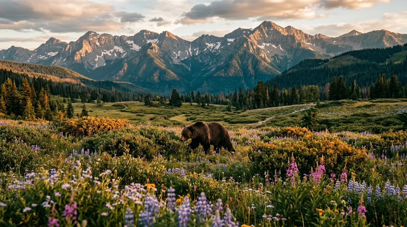
Distances: 100 yards (91 m) from bears and wolves. 25 yards (23 m) from all other wildlife. Those are the two numbers to carry at a roadside pullout, where every wildlife problem in this park begins.
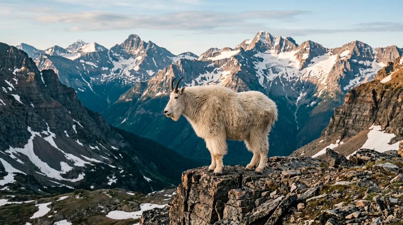
Glacier's symbol is the mountain goat. It has the largest native population in the lower 48. It is also declining — and one of the drivers USGS names is us.
The mountain goat is the park symbol and holds the largest native population in the lower 48 — and it is declining, likely across 2008–2019, over a smaller distribution than it once held.
The drivers USGS names: precipitation and temperature change, forage shifts, fire frequency — and rapidly increasing visitation and recreation.
The animal on the emblem is declining, and one named driver is us — the people at Logan Pass, of whom you will be one, walking toward a goat with a phone out. Goats also feed wolverine, mountain lion and grizzly; they're the middle of the food web up there, not decoration.
Winter 2016–17 brought the first range-wide wolverine survey in the western US: 185 camera stations and hair snares across Montana, Idaho, Wyoming and Washington, producing over 22,000 photographs and 240 DNA samples (Lukacs et al., 2020). Glacier was a hot spot.
Wolverines are understood to depend on persistent spring snowpack for denning — well established, though we flag it as a claim we'd want to verify before treating it as settled.
Which ties the knot of this issue: the epicentre of glacier loss in the lower 48 is also a wolverine stronghold. The same snow. Read §13, then read this paragraph again.
The rules that catch Canadians are the ones where Glacier is stricter than anything at home, or unexpectedly looser — and the boundary where both flip again.
Not restricted. Not leashed-only. Banned. On every trail in the park. If your mental model is Kananaskis, delete it.
Allowed: in cars on park roads, in frontcountry campgrounds, picnic areas, along roads when stopped, parking areas, and boats where motorized craft are permitted. Not allowed: trails, lake shores outside developed locations, backcountry, any building. Leash: 6 ft max. One exception parkwide: the Apgar–West Glacier bike path, when snow-free.
Heat: the NPS's arithmetic — 80°F outside becomes over 94°F in a closed vehicle in two minutes, over 120°F within an hour. Glacier "frequently sees days well in excess of 90 degrees." Kennels in the Flathead Valley; Jewel Basin (§12) is the leashed-dog answer.
Verified, unusual, worth printing in bold: no licence is required to fish inside Glacier National Park. You just go.
2026 compendium, via servicewide Policy Memorandum 14-05 (June 2014). One nuance: PM 14-05 was an interim measure. Twelve years on it's still the mechanism, enforced through each park's compendium — so "banned in all national parks" is true in effect, but it's roughly 400 individual closures rather than one rule. Practically: leave it home.
Camping is by permit at designated sites. Phrased that way deliberately: we could not find the explicit words "dispersed camping is prohibited" on an NPS page, so we won't put them in quotation marks. The effect is the same — nowhere to legally pull off and sleep. The free version is next door (§09), and the permit system exists because of 1967 (§15).
Short and conservative, because the sources are a mess. CBP Art. 1204 says all non-immigrants — including those admitted without a visa — must apply for an ATF permit via Form 6NIA. "Self-defence" is not an available basis — 27 CFR 478.115(d)(1) allows only "legitimate hunting or lawful sporting purposes," and it must go back out.
A tension we're resolving for you: 27 CFR 478.115(d) reads as though no permit is needed; CBP says all non-immigrant aliens must file. Follow CBP. Get the 6NIA. Don't let anyone — including yourself — talk their way out of it using the CFR. We could not verify 6NIA processing time or validity: atf.gov is comprehensively 404. Contact imports@atf.gov, fax 304-616-4554.
Back into Canada: the form is BSF407 (the Y38 was renamed, not discontinued — CBSA D2-6-5). Optional, no expiry, only available AT a CBSA office; no need to stop when leaving Canada. Re-import: non-restricted needs a PAL; restricted needs PAL + registration + ATT. CBSA: "Declare all firearms… If you do not declare… the CBSA may seize it, and you may face criminal charges."
THE ATT TRAP: the automatic ATT does NOT cover driving to the border. The 7 July 2021 change narrowed it to a range in your province, or storage after purchase. A border crossing is neither. Get the ATT from your CFO first — CFP 1-800-731-4000. And the handgun freeze is in force (RCMP, mod. 8 June 2026; codified 15 December 2023) — do not buy a handgun in Montana and bring it home. A time-bomb for this season: the amnesty (SOR/2025-87) expires 30 October 2026.
Northbound: effectively impossible for a camper. CFIA Directive D-01-12 — scoped explicitly to "campers" — requires a Permit to Import AND a Phytosanitary Certificate AND kiln treatment at 56°C core for 30 minutes. The only exemptions are processed fuel logs and fuel pellets. There is no personal or camper exemption.
In Glacier (NPS, upd. 5 May 2026): "it's required that firewood is labeled and certified as heat treated." Gathering is "unlawful" EXCEPT along Inside North Fork Road (Dutch Creek → Kintla Lake), along Bowman Lake Road, and near backcountry campgrounds allowing wood fires — dead-and-down only.
Bottom line: do not transport firewood in either direction. Buy certified heat-treated in Montana; buy again in Alberta on the way home. And Montana burn bans and fire restrictions are not verified here — in July they're highly likely and they change weekly. Check before you go: mtfireinfo.org, inciweb.nwcg.gov, or 406-888-7800.
The sentence that matters in Montana: it is legal to buy in Whitefish, and a federal crime once you drive into the park. MCA §16-12-106: 21+, 1 oz, 8 g concentrate, 800 mg THC edibles. Flathead County — Whitefish, Kalispell, Columbia Falls — allows adult-use sales. Montana's own Department of Revenue "Cannabis Use Checklist for Visitors" (6 February 2026) puts it plainly: "Federal lands (like national parks) are off-limits — cannabis is still illegal there." New from 1 July 2026: edibles capped at 5 mg THC per unit. CBD: Canada is stricter than the US — Canada explicitly sweeps in CBD and hemp-derived CBD; the US turns on the 0.3% THC hemp line.
What we're deliberately not printing: the permanent-exclusion language you'll read about — no CBP primary source uses it. CBP's word is "inadmissible," which is waivable. Also not printing the dollar penalties that circulate (archived pages), and not implying cannabis is "being legalized federally" — it remains Schedule I, with a narrow Schedule III carve-out (28 April 2026, 91 FR 22714) for FDA-approved, state-medical-licensed products only. Broader rescheduling is pending: a DEA hearing ran 29 June – 15 July 2026, no final rule as of 17 July 2026. Current guidance for cannabis-industry Canadians is CBP Art. 000001360 (18 Nov 2025): generally admissible if travelling for unrelated reasons, but "the Burden of Proof is on the Canadian citizen."
Meat is allowed, contrary to belief: beef, bison, veal, lamb, mutton, goat, swine, camelid — 50 lb per traveller. Cervid meat (deer, elk, moose), including hunter-harvested with evidence, is not subject to the 50 lb cap. Dairy with proof of Canadian origin. Pet food: unopened retail, 50 lb per vehicle. Poultry and eggs in personal amounts, absent temporary avian-flu restrictions — check before departure.
Fresh produce is conditional: commercially grown in Canada, soil- and pest-free, documented as grown (not merely bought) in Canada, entering during the Canadian growing season, 1 May – 31 October, if field-grown. Year-round exceptions: cucumbers, eggplant, lettuce, squash, strawberries labelled greenhouse-grown, plus sea buckthorn. Prohibited (CBP, 11 June 2026): fresh tomatoes and bell peppers. Seed potatoes need a permit. Homegrown backyard produce: generally prohibited — you can't prove origin.
THE BOOMERANG TRAP: "Travelers may not bring U.S.-grown produce they previously took into Canada back across the border unless the items are whole and still in their original packaging. Any item listed as prohibited—such as citrus, tomatoes, or peppers—even if U.S.-grown, may not re-enter." The tomato you bought in Montana last week doesn't get to come back.
SOIL — aimed straight at you: "No soil or earth of any kind is allowed into the United States without a permit." Vehicles must be cleaned; inspectors may disinfect footwear and clothing. CBSA names "soiled hiking boots" as a threat item in the other direction too. Wash the rig and the boots before you cross — an overlanding vehicle fresh off a muddy Alberta trail is exactly what this rule describes.
Coming home — CFIA personal limits by category: meat 20 kg · dairy 20 kg/L · fresh fruit 20 kg · fresh veg 20 kg · fish and seafood 40 kg · eggs 5 dozen · baked goods 20 kg · non-alcoholic beverages 50 L · all other food 20 kg/L. There is no flat US→Canada prohibited list — the authority is AIRS (airs-sari.inspection.gc.ca). You'll find a widely-circulated list of additional prohibited items; it's snippet-sourced only, so we're not publishing it — check AIRS instead.
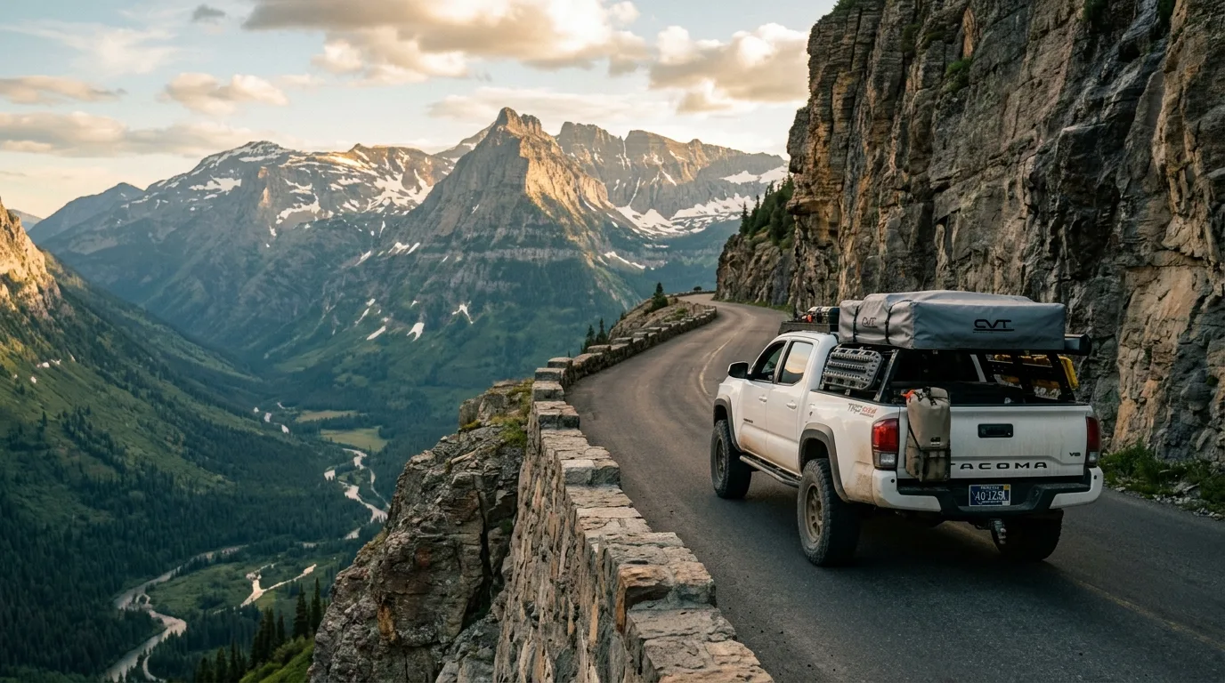
That's the NPS's own sentence, and it gets built into a fifty-mile mountain crossing with no shoulder and no signal. Add the money, the speed limits, the roaming and the one insurance line that matters, and this is the section that quietly saves the trip.
| The gap | Distance | Status |
|---|---|---|
| Going-to-the-Sun Rd Apgar → St. Mary |
~50 mi / 80 km | ZERO fuel — NPS-confirmed. The worst fifty miles in the region to run low: sustained climb, no shoulder, no cell, and tow access is a genuine problem |
| US-2, East Glacier → West Glacier Marias Pass |
~57 mi / 92 km | Treat as fully dry. Essex: the official Glacier Country page lists lodging and outfitters, no gas station; the Izaak Walton site redirects and 404s. Medium confidence — worth a call |
| St. Mary → East Glacier US-89 / MT-49 |
~32 mi / 51 km | No confirmed fuel between the endpoints. Kiowa Junction: Kyiyo Mercantile opened 2024 (store and food) — pumps unverified. Do not plan on it as a fuel stop |
| Chief Mountain Hwy (MT-17) → the border | — | Babb is the last confirmed fuel before the border. Low-to-medium confidence — absence of evidence, not evidence of absence |
Standing caveat: every east-side fuel stop — St. Mary, Babb, East Glacier — is a single-operator seasonal business. Any one can close without notice and none owes you a website update. Don't build a route that depends on exactly one of them.
| Town | Fuel | Groceries | Medical |
|---|---|---|---|
| Kalispell | Full | Super 1, Smith's, Natural Grocers | Logan Health — 24/7 ER, Level III trauma + neuro, ~210 beds |
| Whitefish | Full | Super 1, Safeway | Logan Health–Whitefish — 24/7 ER, 25-bed critical access |
| Columbia Falls | Full | Super 1 — last full supermarket before the park, west side | Urgent care; primary care weekdays only |
| West Glacier | Conoco/76 + Sinclair | General store | Seasonal walk-in clinic, 9–5 daily, Memorial Day – 30 Sep. NOT an ER |
| St. Mary | Sinclair + Park Café & Grocery (seasonal; the 24 h claim is unofficial) | Small, seasonal | None |
| Babb | Thronson's General Store & Gas — also sells bear spray | Minimal | None |
| East Glacier Park | Bear Track Travel Center, daily 7a–9p (NOT 24 h), gas/diesel/propane | Grocery + deli | NONE — no health care, no pharmacy, no mechanic, no banking |
Rebrand warning: still officially Logan Health as of July 2026, now under Billings Clinic-Logan Health post-merger. A full rebrand is slated to conclude in 2026 but has not been announced — signage may change mid-season.
CAD/L = (USD/gal ÷ 3.785) × USD→CAD rate
AAA doesn't publish Flathead or Glacier county figures. The gateway towns — West Glacier, St. Mary, Babb — are captive markets. Expect well above the state average.
Albertans don't expect this and it's real law — MCA 61-8-303, amended 2025. The limit changes at dusk.
Posted limits override all of this. And Going-to-the-Sun Road is far slower — statutory limits are irrelevant in the park. You'll be doing 25 and grateful.
NPS, verbatim: "Most visitors will find cell reception in West Glacier up to Apgar Village. There is limited coverage in St. Mary." That's the whole coverage map. Expect NO signal: Many Glacier, Two Medicine, Logan Pass, North Fork, Goat Haunt, the backcountry, southern US-2. Public WiFi at exactly two places: the Apgar and St. Mary visitor centers. (That NPS page was last updated December 2021 — stale, but the terrain hasn't moved.)
Roaming: Rogers $16.00/day (now including satellite-to-mobile in the US; cap not stated) · Telus Easy Roam $14/day + tax, up from $12 in Oct 2025, ~$280/cycle ≈ 20 days (medium confidence — telus.com 403'd us; phone-verify) · Bell Roam Better $13/day, 20 days/cycle (~$260) then free, unlimited calls and texts in the US and to Canada, uses your plan's data, throttled to 512 Kbps after 5 GB/day, charged only on days used — and the day ends 11:59 pm ET regardless of your time zone. Rogers Travel Passes ($25–$80, 3/7/14/30-day) beat $16/day for a week-plus trip.
eSIM pricing is all comparison-site sourced and unverified: Airalo ~5 GB ≈ $24 USD, unlimited 30-day ≈ $61.50; Nomad free 1 GB/3-day trial, 20 GB/30 d ≈ $18, unlimited 20 d ≈ $49 (AT&T + T-Mobile). The honest caveat: an eSIM is a DATA plan. It won't ring your Canadian number, and it doesn't help where there's no tower — which is most of this park. Three-day trip: day passes. Ten days: eSIM wins.
Unverified but useful: Verizon is much better on the east side; AT&T near-nothing until East Glacier. Telus and Bell typically land on Verizon, Rogers on AT&T/T-Mobile — so east-side Telus and Bell users may fare better than Rogers users. Carriers don't publish partner mapping; treat it as a working theory.
1. LIABILITY LIMITS. Alberta's statutory minimum is CAD $200,000 — thin for a US at-fault accident. Carry $1–2 million before you cross. It's a cheap endorsement and the best money you'll spend on this trip. Montana's own minimum (MCA 61-6-103, "25/50/20" — $25k bodily injury per person, $50k for two or more, $20k property) is lower still, and your Alberta policy almost certainly exceeds it. But that's not the point. Montana's floor tells you nothing about what a US claim against you could cost.
2. Uninsured motorist. The US uninsured rate is materially higher (~12.6%, secondary source). Add UM/UIM if your policy lacks it. · 3. Trips over 30 days: tell your insurer (per IBC). Short vacations don't require notification.
But "immediate possession" means the physical licence is on you. A photo on your phone is not compliance. (The 60-day and 12-month figures in search results concern establishing residency, not tourists. Irrelevant.)
Into the US (Canada is low-risk; the CDC high-risk list of 15 April 2026 excludes Canada). Rules effective 1 August 2024:
Back into Canada (CFIA Import Reference Document, amended 8 October 2025 — binding). The US is not rabies-free, so a dog 8 months or older needs (a) a valid rabies certificate in English or French from a licensed vet, or (b) an RNATT titre ≥0.5 IU/ml, or (c) inspector-ordered vaccination at your expense. No quarantine. Under 3 months: no certificate. Assistance dogs: no restrictions. Canada does not require a microchip.
And read §17 before you bring the dog at all: banned from every trail in Glacier. Leash max 6 ft; physical restraint or caged, including in open-bed pickups.
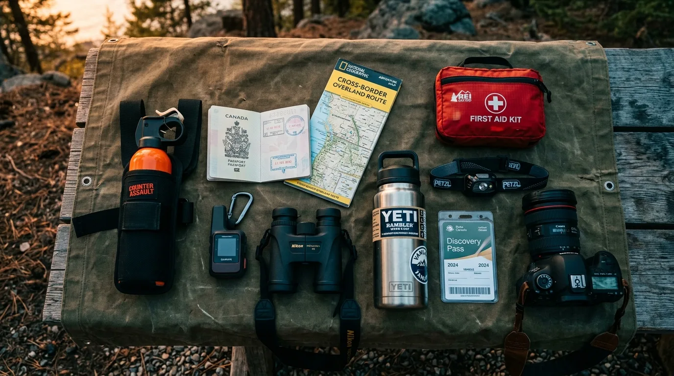
A park with no fuel, no hookups, no signal and no cash register — reached through a border that cares what's in your door pocket and a pump that can freeze your card for a week. Orange items are the non-negotiables.
Run it the night before you roll. Tap each item as it's done — this one has a border in it, so the stakes for skipping a line are higher than usual.
This issue was assembled against blocked domains, a 502-ing closure app, an archived fee page that outranks the real one, and a CBP page three years stale. Where that happened, we said so in place and gave you a phone number. These are the sources that are the truth on the day you travel.
Everything above, condensed into a print-ready PDF built for the glovebox — for a park where the cell coverage is two visitor centres and a village, and the rules change twice between your driveway and the trailhead. The border table, the bear-spray working, the campground length limits, the fuel gaps, the trail cards, every phone number in both countries, and the departure check, on paper that works at Logan Pass.
Every Trekkr Trail Journal is built like this one: custom maps, honest trail beta, full logistics, kit lists and the local knowledge that turns a good trip into the one your crew talks about for years. New destinations drop all season long.
Unlock the Trail Journal Library