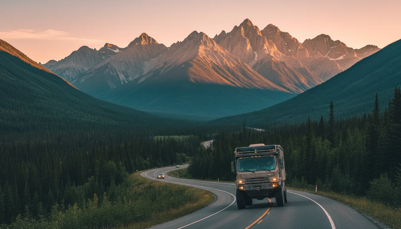
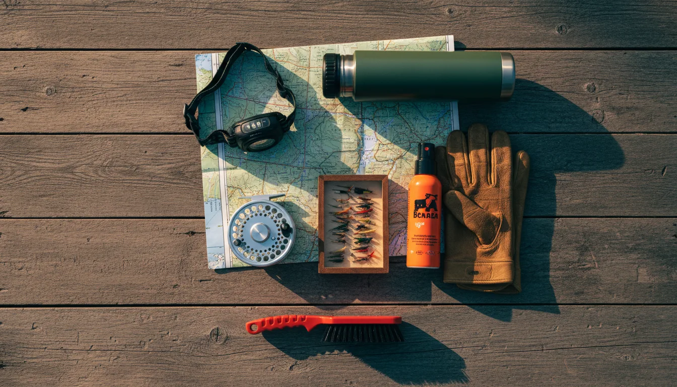
Drive west over the Crowsnest and you cross the Continental Divide — which is the Alberta–BC line. Same mountains you left; a different province, and a rulebook that flips. The fishing licence, the camping fee, the fire regime, the free-camping rules, even the clock: everything changes at the summit. This is the map of what changes, and what it costs.
The rest of this journal is evergreen; this box is not. Cross the Crowsnest and the paperwork is BC's, not Alberta's — and some of it is dated to the day. Check the live sources below before you commit to anything downpage.
This is the sequel to two issues you may already own. No. 006 took you up the Alberta side of the Crowsnest; No. 008 took you into Glacier, over the American line. This one does the third crossing — the one most Albertans actually make on a long weekend — west over the Crowsnest Pass into British Columbia. The Crowsnest is the southernmost highway crossing of the Canadian Rockies, and its summit sits on the Continental Divide, which here is the Alberta–BC border. You descend the far side into Sparwood, then Fernie about thirty minutes on. The peaks look identical. Almost nothing else is.
Because the moment your tyres roll over that summit, you leave Alberta's rules behind and pick up BC's. Your Alberta fishing licence stops working. The camping-fee math changes, and not in your favour. The wildfire bans run on a different system with different words. The free-camping rules — Alberta's PLUZ and Public Lands Camping Pass — have a BC cousin with its own name and its own limits. Even the clock has an opinion. None of this is border-crossing drama; there's no customs booth, no passport. It's the quieter, more expensive kind of surprise: the fine you get for doing the exact thing that was legal an hour ago on the other side of the hill.
One province behind you, another ahead, and the same rock in between. This is the entire reason this issue exists: a side-by-side of what you're used to in Alberta and what actually applies once you're in the Elk Valley. Every row is unpacked later; this is the map.
| The thing | Alberta side (No. 006) | BC / Elk Valley side (here) | Where |
|---|---|---|---|
| Fishing licence | Your Alberta sportfishing licence, one purchase | Alberta licence invalid. BC basic (non-resident) plus a Class II Classified Waters day-ticket for the Elk ≈ $45.72/day, single barbless hook | §04–05 |
| Camping fee | Provincial-park rate, or the Public Lands Camping Pass for random camping | BC Parks rate + a new $20 non-resident surcharge on every Alberta plate; Crown-land dispersed camping free but capped at 14 days | §10–12 |
| Free / dispersed camping | PLUZ + Public Lands Camping Pass ($30/yr) | Rec Sites and Trails BC + free Crown-land dispersed — no pass, no permit, firm 14-day limit | §11 |
| Fire bans | Alberta advisory / restriction / ban, by Forest Area | Category 1/2/3 by Fire Centre. Elk Valley = Southeast Fire Centre; check the map + 250-318-7715 | §00, §17 |
| Winter tyres | Recommended | Legally required Oct 1 – Apr 30 on Hwy 3 (M+S or 3-peak snowflake) | §17 |
| The clock | Mountain Time | Still Mountain Time — the East Kootenay stays aligned with Alberta. No change. (Keep going past Cranbrook and it's Pacific.) | §16 |
| Liquor & cannabis | All-private liquor retail | Government BC Liquor Stores + private; cannabis 19+, banned in most parks | §16 |
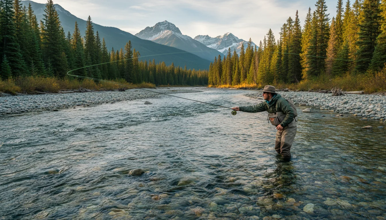
The Elk is one of North America's great dry-fly rivers for native westslope cutthroat. It is also the single clearest example of the rulebook flip — the river where an Alberta angler can do everything right except the paperwork and still be fishing illegally.
The Elk holds one of the few genetically pure westslope cutthroat populations left in BC — a fish listed by COSEWIC as Special Concern (2006) and protected under Canada's Species at Risk Act since 2010 (BC population). You'll also find bull trout — a char, itself a species of concern — and Rocky Mountain whitefish. This is why the regulations are strict, the season is short, and most of the river fishes as de-facto catch-and-release. You are casting to a threatened native fish in recovering water; the rules are the point, not the obstacle.
CLOSED 1 April – 14/15 June, every year, for cutthroat spawning — the season opens mid-June and runs to 31 March. There is no legal way around this; a May trip to fish the Elk is a wasted drive. When it's open, a single barbless hook is mandatory on every Region 4 stream, year-round (this one's solid). Region 4 streams also require release from 1 November to 31 March.
One honesty flag: a bait ban on the Elk from 15 June to 31 October, a daily quota of one trout/char, no cutthroat under 30 cm and no bull trout under 75 cm — these come to us second-hand, because the authoritative source couldn't be read (see the box below). Confirm them in the printed synopsis before you keep, or bait, anything.
This is the strongest reason to own this guide. Fishing the Elk legally as an Albertan is not one licence — it's a basic licence and a river-specific classified stamp, stacked, and the classified half can be sold out before you leave the driveway.
There is no reciprocity between Alberta and BC. Because you're not a BC resident, you buy at the non-resident rate through BC's WILD system. Fees below are 2026, pre-tax:
| Angler | Annual | 1-day | 8-day |
|---|---|---|---|
| BC resident | $41.15 | $11.43 | $22.86 |
| Non-resident (an Albertan) | $62.87 | $22.86 | $41.15 |
| Non-resident alien | $91.44 | $22.86 | $57.14 |
The Elk (and its tributaries, plus the Bull, Michel Creek and the Wigwam) are Classified Waters — high-demand rivers that require an extra licence in addition to the basic one, for residents and non-residents alike. This is where the resident/non-resident gap becomes the whole story:
One classified licence, $17.15 a year, covers all Class I and Class II classified waters in the province. Buy it once, fish them all season.
Non-residents are sold classified access by the day, and per river — there is no annual classified option for non-residents. Class I waters run $45.72/day; the Elk is Class II → $22.86/day, single river. (The Elk's Class II designation is our best reading — verify it in the synopsis.)
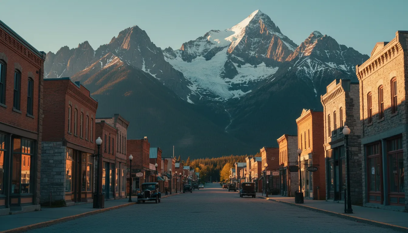
Fernie is the tourism town; Sparwood and Elkford up-valley are the working coal towns. But Fernie's handsome brick-and-stone downtown isn't taste — it's the scar tissue of two catastrophes that folklore later blamed on a curse.
William Fernie (1837–1921), an English prospector, and his brother Peter found coal while cutting a Crowsnest trail in the summer of 1887. He founded the Crow's Nest Pass Coal Company in 1897; the town followed in 1898 and was incorporated as the City of Fernie in July 1904, driven by the arriving railway.
An honesty nuance that matters for §06: coal here was first documented by Michael Phillipps around 1873–74, more than a decade before Fernie showed up. Fernie built the company; he wasn't strictly the discoverer. Hold that thought.
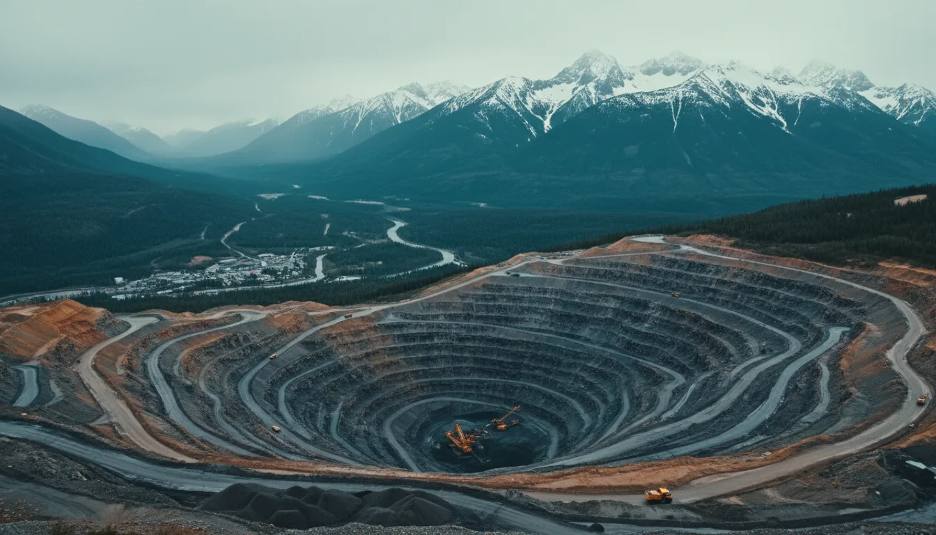
The Elk Valley is one of the world's major metallurgical (steelmaking) coal regions — coking coal for blast furnaces, not thermal coal for power plants. That distinction runs through the whole valley: Sparwood and Elkford are the mining towns; Fernie is the tourism town. Five or so operations work the valley — Elkview at Sparwood, Fording River and Greenhills at Elkford, Line Creek, and the idled Coal Mountain (status worth confirming) — together the largest steelmaking-coal operation in Canada, on the order of 21.5 million tonnes in 2022.
On 22 May 1902, a coal-dust and methane explosion in the Coal Creek mine killed 128 miners (28 of them Italian) — one of the worst mining disasters in Canadian history, behind only Hillcrest (1914) and Nanaimo (1887). A few retellings say around 130; 128 is the standard figure.
On 1 August 1908, fire destroyed essentially the entire town in about 90 minutes — roughly 100 businesses and 700 homes, over $5 million in losses, some 5,000 people homeless, and — remarkably — no lives lost. Rebuilt by 1910, with council mandating brick and stone downtown. That order is why the historic core looks the way it does today.
Every guidebook tells the curse of Fernie and stops there. We tell it too — and then we do the thing the town itself now does: take it apart, because the honesty is the actual story, and because the legend borrowed an identity that wasn't its to borrow.
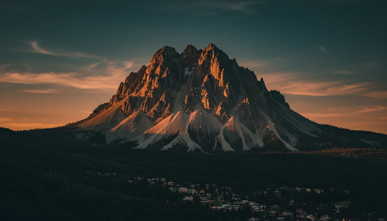
On summer evenings the setting sun behind the Lizard Range casts a shadow shaped like a horse and rider — the "Ghostrider" — across the face of Mount Hosmer to the east. The folk tale attached to it: William Fernie saw a young Ktunaxa woman wearing a necklace of black stones, which were coal. Her father, the chief, would reveal the coal's location on one condition — that Fernie marry her. Fernie learned the location and backed out of the promise. The chief cursed the valley with fire, flood and famine. In 1964 the town held a ceremony to "lift" the curse.
That's the version on the plaques and in the brochures. It's a good story. It is also, per the town of Fernie itself, not true.
fernie.com states plainly that the legend "is a fabrication, with no basis in the practices or beliefs of the local Ktunaxa people," and that "the Ktunaxa never engaged in curses." The much-loved 1964 ceremony that supposedly lifted it was, again in the town's words, "driven by financial incentives and orchestrated by the Fernie mayor of the time" — a tourism stunt.
The chronology finishes it off: coal was documented here by Michael Phillipps around 1873–74, before Fernie arrived (§05), so the broken-promise premise can't stand. The Hosmer shadow itself is a genuine recurring optical phenomenon. Only the curse is folklore — a settler-invented legend that misappropriated Ktunaxa identity, now being corrected.
Honesty note: some retellings name the 1964 ceremony's leader as "Chief Ambrose Gravelle / Red Eagle." We could not confirm that against a primary source and have left the name out — check with the Fernie Museum before repeating it.
Fernie is a genuine hiking hub, from a one-hour waterfall stroll to full mountaineering days. But every distance and elevation below carries a warning: Tourism Fernie's pages were unreadable to our tools, so these figures come from a curated third-party publisher, not the land manager. Treat them as planning approximations and confirm at a trailhead or the Fernie Visitor Centre.
| Trail | Approx. distance | Approx. gain | Trailhead | Confidence |
|---|---|---|---|---|
| Fairy Creek Falls | ~4.5 km return | Modest | Off Hwy 3, opposite the Visitor Centre; free signed parking | ~1 hr easy · MED |
| Josephine Falls | ~2.3 km to falls / ~5.8 km return | ~150 m | Near Elkford, not Fernie: Hwy 43 to Elkford, right on Greenhills Mine Rd ~5.1 km | ⚠️ MED |
| Mount Fernie | ~7.6 km return | ~927 m | Canyon Trail parking off Hwy 3, NE of town | ⚠️ MED (a second source says 8 km / 910 m) |
| Mount Hosmer | ~10.5 km return | ~1,154 m | Hartley Lake Rd (via Dicken Rd) | ⚠️ MED · grizzly country |
| Heiko's Trail | ~21 km point-to-point | ~1,400 m | Hartley Lake Rd to Island Lake Lodge | ⚠️ MED · full day, two passes, Bisaro Cave |
| Mount Proctor | ~20 km loop | ~1,500 m; summit 2,393 m | Chamber / Visitor Centre, Hwy 3 E | ⚠️ MED · 8–11 hr, scrambling |
| Three Sisters | Up / down | To 2,788 m | Hartley Lake Rd | ⚠️ LOW · mountaineering, verify before calling it a hike |
All figures above are from a curated hiking publisher, cross-checked where possible — not from Tourism Fernie (whose site returned an empty template) and not from crowd-sourced trail apps. Confirm distance, gain and current status at the Fernie Visitor Centre or the City of Fernie trail-map PDF before committing a group to anything above the easy two.
Island Lake Lodge, up the Cedar Valley, is a hiking hub — the Island Lake Trail is roughly 5 km with modest gain, but that figure is unverified, and access is on private gravel. Confirm the lodge's current public-parking and day-use policy before you build a day around it; don't assume the road is yours.
A roughly 82 km gravel, multi-use corridor of the Trans Canada Trail linking Fernie → Sparwood → Elkford — this one is confirmed to exist (trailsbc.ca and the City of Fernie map). A relaxed valley-floor recreation route for bikes, walking and running, not a mountain objective.
Fernie draws riders the way the Elk draws anglers. The trail networks are verified to exist; the exact counts fluctuate constantly, so take the numbers as "large," not gospel.
Around 37 lift-served downhill trails — the gravity end of the spectrum, for riders who'd rather earn the descent with a chairlift than their legs.
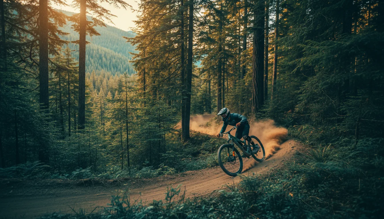
The Provincial Park (Dem Bones, Stove, the Sherwoody networks) and Montane off Coal Creek Road offer green and blue cross-country close to town — the family-and-warm-up end.
Roughly 377 trails across the Fernie region plus zones like Fernie Ridge — a large, well-built network. Trail counts shift, so treat that as an order of magnitude, and get a current map locally.
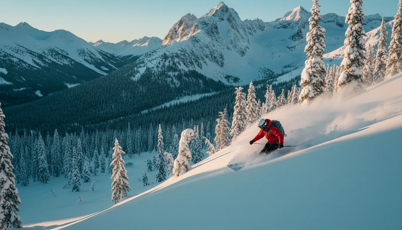
Fernie's winter reputation is built on heavy, consistent snowfall off the Lizard Range — and a snow deity the town invented to explain it.
The Griz is Fernie folklore — locally invented, not Indigenous: a boy born in a grizzly's den in the Lizard Range in 1879, grown into a giant who fires a musket into the clouds to bring snow. He's the town's snow mascot, and Griz Days is Fernie's winter carnival, late February into March, going on 47-odd years.
Island Lake Lodge runs cat skiing on Mount Baldy and the Lizard Range — it exists and it's storied, but we couldn't verify terrain or vertical figures, so confirm those direct with the operator.
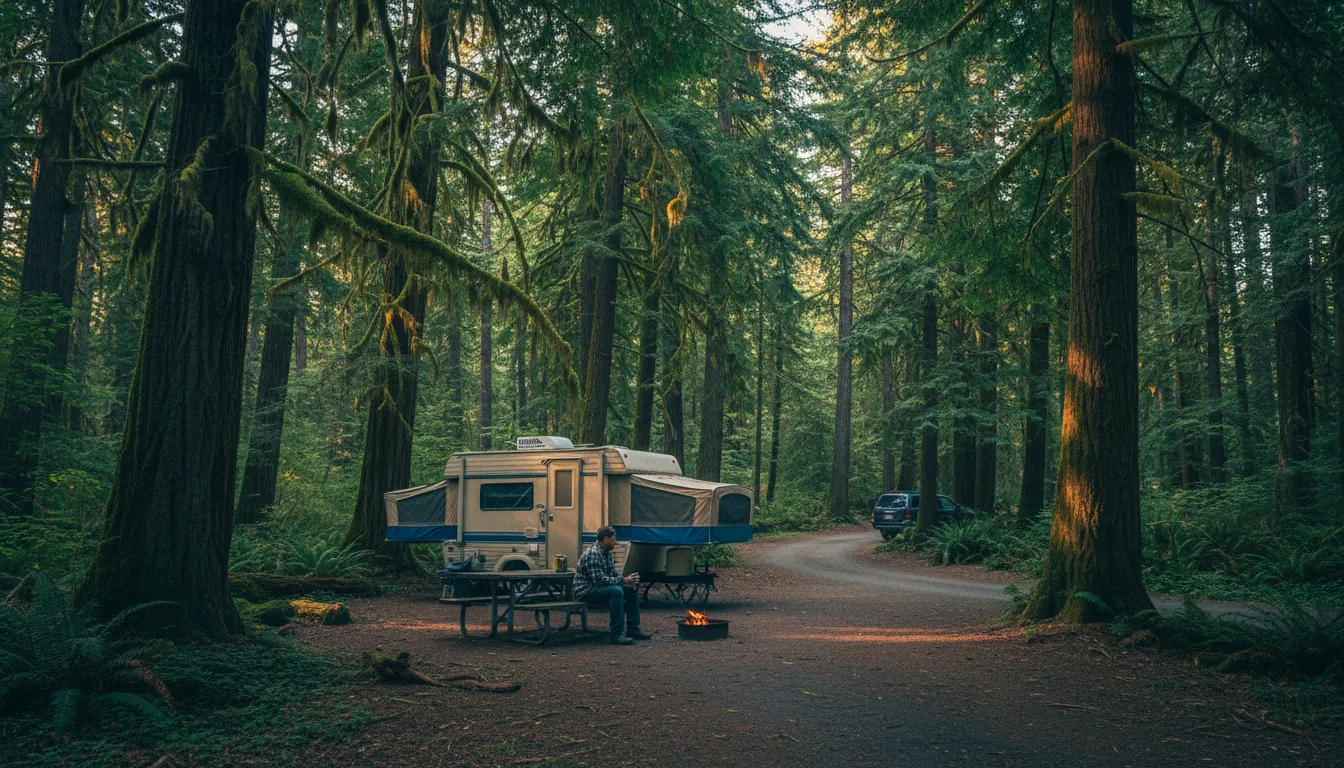
The Elk Valley's front-country base is Mount Fernie Provincial Park; the head-of-valley option, Elk Lakes, is backcountry only. And new for 2026, every Alberta plate pays a surcharge for the privilege of parking in either.
Nightly fee: the BC system range is $5–$51 per party, and Mount Fernie is on the 2026 peak list — secondary sources suggest roughly $30 off-peak to ~$43.50 peak, but the exact figure is unverified. Confirm at booking, and add the $20 surcharge.
Source honesty: BC Parks advisory panels for both parks were stuck on "Loading…" when we checked — phone-verify current advisories, fire bans and any closures with EK Parks or BC Parks before you leave.
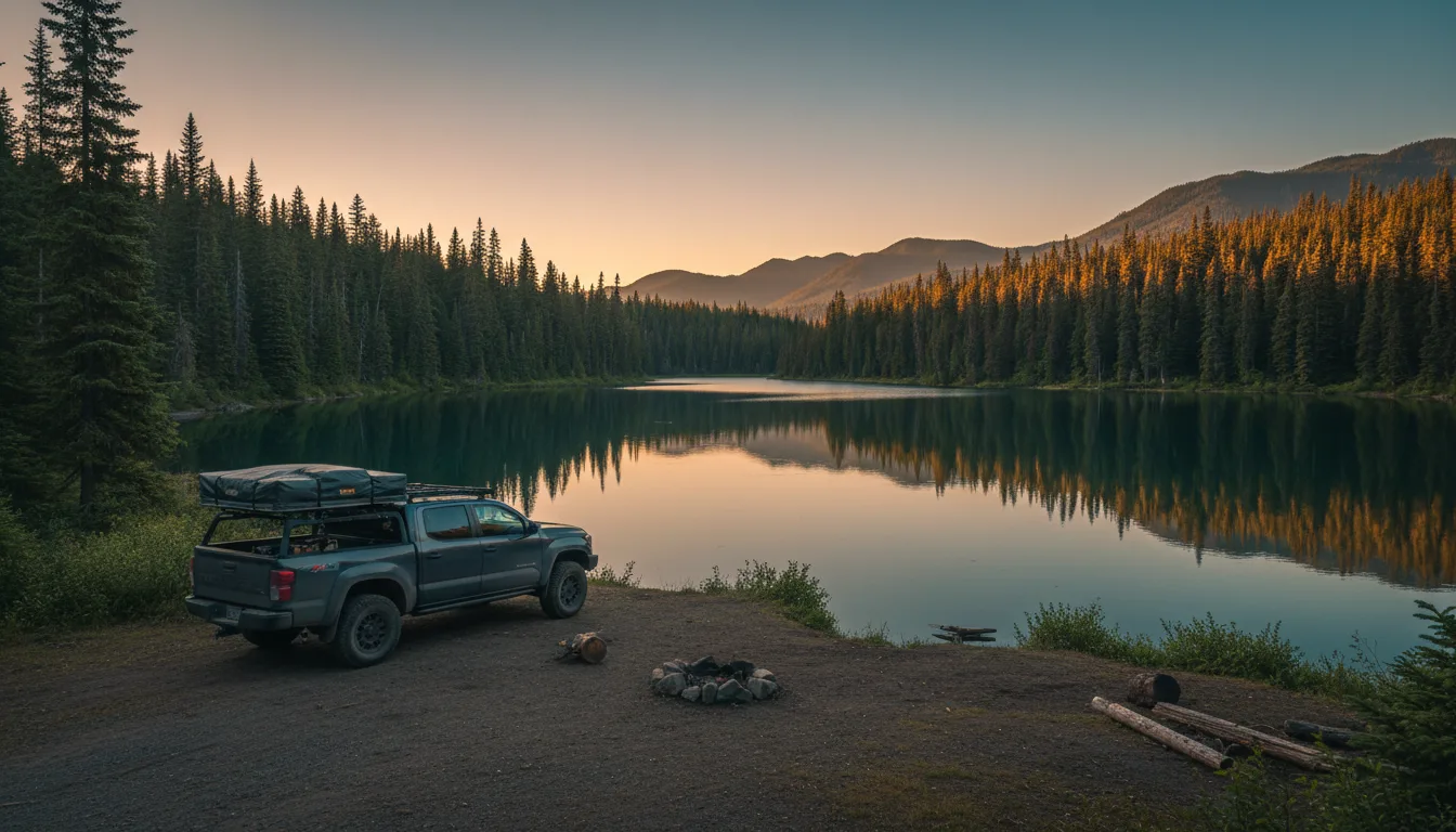
BC's answer to Alberta's PLUZ is Rec Sites and Trails BC plus free dispersed camping on Crown land — genuinely no pass, no permit. The trade is a firm 14-day limit, and a government website that wouldn't load for us at all.
A small wilderness campground on Hartley Lake — roughly 2 campsites (very limited), a table, fire pit, cartop boat launch and pit toilet; free and self-maintained (by a local rod-and-gun club). Access: cross the Elk River bridge at the north end of Fernie, then about 5.2 km east on Hwy 3 to Dicken Rd, 600 m, then the Hartley Lake FSR — 7.8 km of rough 2WD gravel. Medium confidence; verify before counting on a spot at a two-site lake.
When you want hookups, showers and a dump station instead of self-sufficiency, the valley's private and municipal grounds fill the gap — and these don't carry the BC Parks non-resident surcharge.
| Campground | Type · where | What's there | Season / booking |
|---|---|---|---|
| Fernie RV Resort | Private · Fernie | 161 full-service RV (26 pull-thru), 11 tent, 5 yurts, 10 lodges; full hookups, Wi-Fi | Open year-round · ferniervresort.com |
| Elkford Municipal Campground | Municipal · Elkford | 78 sites; shower house, flush + pit toilets, cookhouse, wildlife lockers, some electrical, fire pits, firewood | May long weekend – Thanksgiving · online booking · 250-865-4019 / campground@elkford.ca |
| Mountain Shadows Campground | Private · Sparwood | Full hookups, on-site dump station, free showers, free firewood | Verify operator/booking (medium confidence) |
| Coal Creek Camping & RV | Private · Fernie | Treed full-hookup, walk to downtown | Verify operator/booking (medium confidence) |
Elkford's 2026 fees weren't legible on the page — call 250-865-4019. We've left off the "RV parks at Sparwood, Hosmer, Jaffray" that Tourism Fernie mentions but doesn't name; unverified names don't go in this guide.
Metallurgical coal built Fernie, Sparwood and Elkford — and it poisoned the Elk with selenium, producing the largest fine in the history of Canada's Fisheries Act. This rhymes with our Glacier issue for a reason: the pollution flows across the border into Montana.
Coal mining leaches selenium (and calcite) into the Elk River watershed — selenium causes fish deformities and reproductive failure; calcite smothers the gravel cutthroat spawn in. In March 2021, in Fernie Provincial Court, Teck Coal pleaded guilty to two Fisheries Act counts (selenium and calcite into the Elk and Fording rivers, dating to 2012) and was fined $60 million — $30 million on each count, the largest fine ever imposed under the Fisheries Act. An earlier provincial fine of $1.4 million came in 2017.
The selenium doesn't stop at the valley. It flows into Lake Koocanusa and down the Kootenai River into Montana and Idaho — a BC–US transboundary dispute referred toward the International Joint Commission (the precise 2026 IJC status is evolving; treat it as unsettled).
Note the ownership change, present tense: the pollution and the 2021 fine were Teck's, but Teck sold its steelmaking-coal business (Elk Valley Resources / EVR) to Glencore, whose 77% stake closed on 11 July 2024 (with Nippon Steel and POSCO as minority holders). As of 2026 the operator — and the one carrying the remediation obligation — is Glencore / EVR.
The Elk and Flathead valleys are a critical piece of the Yellowstone-to-Yukon corridor — and Highway 3 runs a bighorn-collision gauntlet right through the middle of it.
The Elk and Flathead valleys link wildlife populations from the US south to Banff in the north — a key piece of the Yellowstone-to-Yukon (Y2Y) initiative. Conservationists call it one of the most important corridors in North America; that's their characterization, and a fair one, rather than a neutral measured fact.
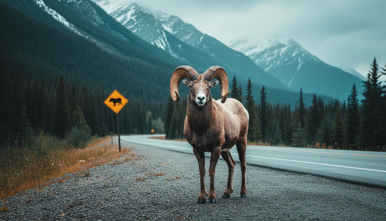
Rocky Mountain bighorn are a Highway 3 collision species — the "Reconnecting the Rockies" project is building wildlife crossings along Hwy 3 for bighorn, elk, grizzly and wolverine. Drive the corridor like the sheep are on it, because at dawn and dusk they are. This is a more useful warning than "bears everywhere."
The westslope cutthroat — COSEWIC Special Concern (2006), SARA-listed (2010, BC population) — and grizzly and bighorn are the iconic species of concern here. The Elk's cutthroat are one of the few genetically pure populations in BC, pressured by mining water quality, riparian clearing and angling. The stakes of §04 and §13, swimming.

Bighorn on Highway 3 aren't a novelty photo — they're the reason the province is spending money on crossings. Slow down through the signed stretches, especially at first and last light when the sheep come down to the verge for salt and grass. A collision at highway speed is bad for the sheep, the species, and your radiator, and this is exactly the corridor where it happens.
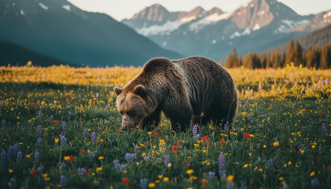
Carry bear spray, store food properly, and treat the whole valley as grizzly habitat — because between the Flathead's density and the Y2Y corridor, it emphatically is.
Past Elkford the pavement ends and the valley turns genuinely remote. Elk Lakes is the reward; the road in is the reason so few people see it. And the Flathead, to the southwest, is expert-only ground.
Roughly 70 km of gravel (about 2 hours) north of Elkford up the west side of the Elk River. Here's the conflict you need to know before you go: BC Parks rates it as 2WD-passable, but trip reports describe rough gravel with tyre-damage risk and recommend high clearance and AWD or 4WD. Print the safe version in your head: high-clearance strongly advised, carry a good spare, and know it's unploughed with no winter access. The paved way to Elk Lakes is actually from the Alberta / Kananaskis side via Elk Pass — the BC road up from Elkford is the rough one.
The park itself is sub-alpine backcountry: an Alpine Club of Canada cabin, backcountry camping, canoeing and fishing, and no motorized vehicles or snowmobiles anywhere in the park.
Southwest of the Elk, the Canadian Flathead is roadless in character and unique in law: the Flathead Watershed Area Conservation Act (2011) permanently bans mining, oil, gas and coal there. It's often called the last uninhabited low-elevation valley in southern Canada, with among the highest interior grizzly densities in North America.
It is not a park with services — long, rough, remote dirt roads, no facilities, no cell signal. This is self-sufficient expert overlanding only. The Wigwam River (a Classified Water) is similarly remote. If you have to ask whether you're equipped for the Flathead, you aren't yet.
The BC-versus-Alberta details that don't fit anywhere else — including the one genuinely pleasant surprise of the whole crossing.
You do not change your clock driving from Alberta to Fernie. Fernie, Sparwood, Elkford and Cranbrook stay on Mountain Time and keep daylight saving in lockstep with Alberta. gov.bc.ca puts it plainly: "People in southeastern B.C. (East Kootenay and Golden region)… remain aligned with Alberta and continue to switch between UTC-7 in the winter and UTC-6 in the summer." The rest of BC went to permanent Pacific Time on 8 March 2026; the East Kootenay is the carve-out. Keep driving west past Cranbrook toward the Okanagan and you finally lose that hour to Pacific.
One caveat: there's some 2026 uncertainty about the exact daylight-saving mechanics in this region. The safe, true version is "you keep Mountain Time, same as home" — don't plan a shoulder-season, hour-critical arrival on the fine print. Recheck locally.
Cannabis: same federal framework, legal at 19+ in BC — but not allowed in provincial, regional or municipal parks (bar some designated sites), playgrounds or sports fields, and local bylaws vary. Retail is government BC Cannabis Stores plus private shops.
Liquor: unlike Alberta's all-private retail, BC has government BC Liquor Stores plus private stores. Buy in the valley towns; use the BC Liquor locator for Fernie and Sparwood hours before you count on a late run.
BC Parks: dogs on leash at all times. Some parks ban dogs from the backcountry entirely (Kokanee Glacier, Bugaboo, Cathedral, Garibaldi, Joffre Lakes among them). We could not confirm whether Elk Lakes is on that no-dogs-in-backcountry list — check the Elk Lakes park page before you bring the dog up that road.
Fernie has everything, Sparwood has a clock on its emergency room, and north of Elkford you're on your own. The safety-critical numbers here are verified; the small-town hours change, so call.
| Where | Emergency care | Fuel & supplies | Field notes |
|---|---|---|---|
| Fernie | Elk Valley Hospital, 1501 5th Ave · 250-423-4453 · ER open 24 hours | The main hub: full Save-On-Foods, multiple fuel stations, pharmacies | Level-1 community hospital, inpatient + obstetrics. Stock up here. Still call to confirm before relying on any service |
| Sparwood | Sparwood Health Centre, 570 Pine Ave · 250-425-6212 · ER 8am–7pm Mountain Time, 7 days (incl. stat holidays) | Grocery + highway fuel (Sparwood Heights Foods ~6am–10pm, verify) | Acute care, X-ray, dialysis. Outside 8–7 the nearest ER is Fernie (24h), ~30 min south. Hours can change — call |
| Elkford | Nearest ER is Sparwood or Fernie down-valley | The last reliable fuel + groceries before the remote north | Fill up in Elkford before the Elk Lakes road or any backcountry. Small-town hours — confirm locally |
| Cranbrook | East Kootenay Regional Hospital, 13 24th Ave N · 250-426-5281 / 1-866-288-8082 · ER 24/7 | Full regional services | The nearest major hospital — more capability than Fernie — about 1–1.5 hr west on Hwy 3 |
Highway 3 crosses the AB/BC line at the Crowsnest summit (about 1,358 m — verify if you print it), then descends west through Sparwood to the Elk Valley; Fernie is ~30 min further. Winter tyres are legally required Oct 1 – Apr 30 (M+S or 3-peak snowflake, ≥3.5 mm) — BC law Albertans forget. Check DriveBC.ca on the day for conditions, closures and construction.
Towns and the Hwy 3 corridor are fine; signal drops to nothing fast on forest-service roads and in the backcountry — the Elk Lakes road, the Flathead, anywhere past Elkford. Assume no signal off the highway, carry a satellite communicator or InReach, and leave a trip plan. (We couldn't verify a carrier coverage map — plan for none and be pleasantly surprised.)
Emergencies 911 · HealthLink BC health advice 811 · Elk Valley Hospital Fernie 250-423-4453 · Sparwood Health Centre 250-425-6212 · EK Regional Hospital Cranbrook 250-426-5281 · Southeast Fire Centre 250-318-7715 · EK Parks (Mount Fernie) 250-422-3003 · BC Parks reservations 1-800-689-9025.
Most of this rig is the same as any Rockies trip. What's different is the paperwork — the licences and proof you need because you crossed a provincial line — and the winter-tyre law that can turn you around at the summit.
Run it the night before you cross the Crowsnest. Tap each item as it's done — this is the province-line stuff that an Alberta habit skips.
This is a guide to a province whose rules you don't live under, built partly from sources that were blocked, contradictory or unreadable. Where that's true, we said so in place — and here's the consolidated list of what to confirm, and where the honest gaps are.
Everything above, condensed into a print-ready PDF built for the glovebox — for the crossing where doing the Alberta thing gets you a BC fine. The rulebook-flip table, the full fishing-licence math, the camping surcharge, the fire and winter-tyre rules, the Ghostrider debunk, every phone number that matters and the border-ready departure check, on paper that works where the signal doesn't.
Every Trekkr Trail Journal is built like this one: custom maps, honest trail beta, full logistics, kit lists and the local knowledge that turns a good trip into the one your crew talks about for years. New destinations drop all season long — this is our first over the line into British Columbia.
Unlock the Trail Journal Library