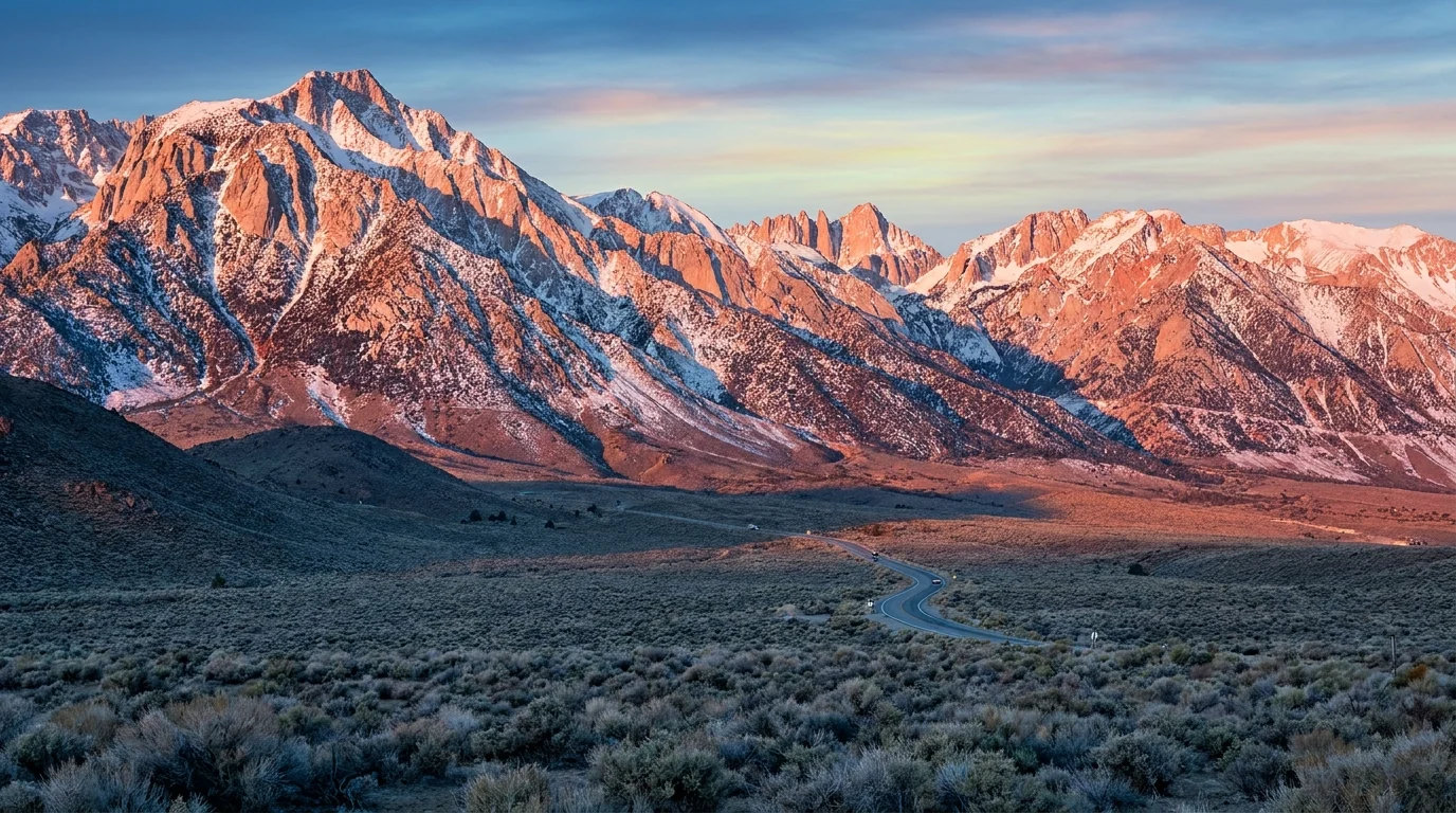
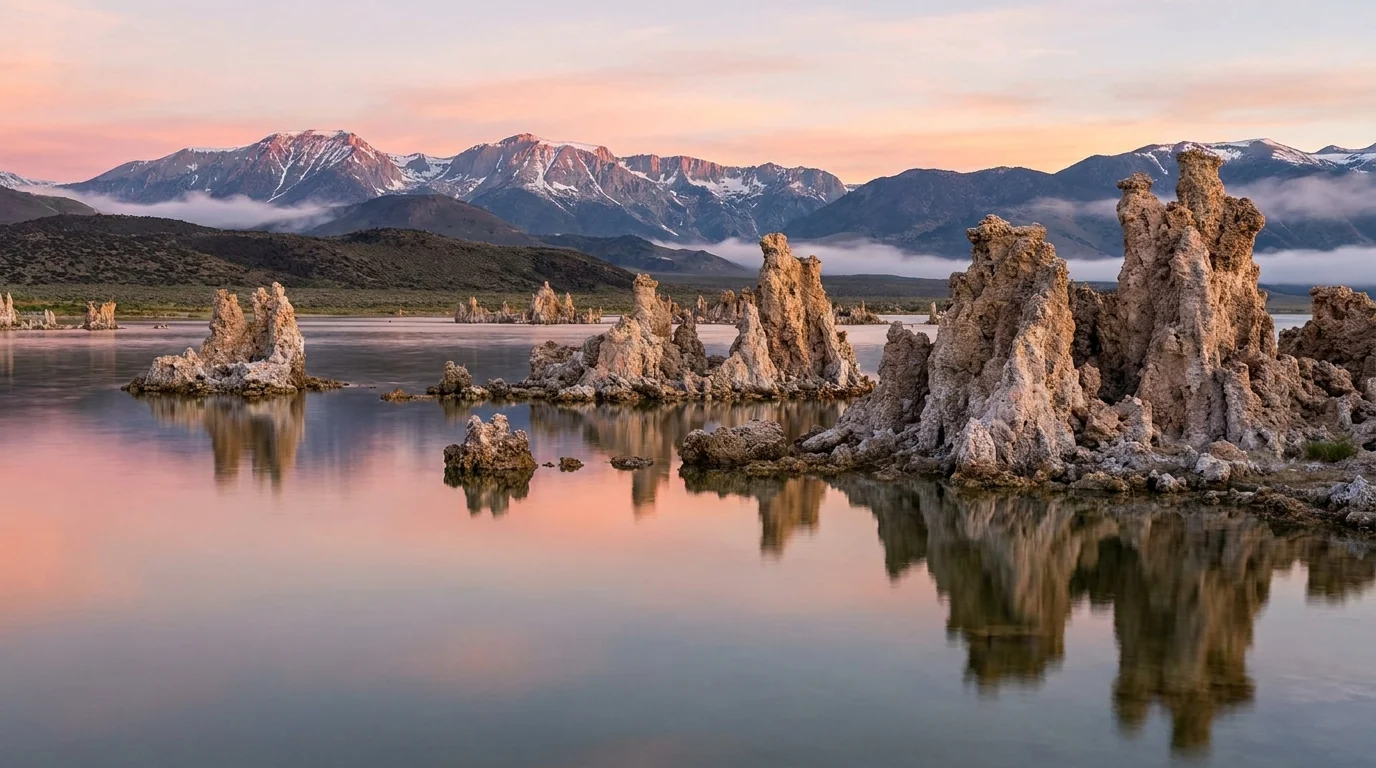
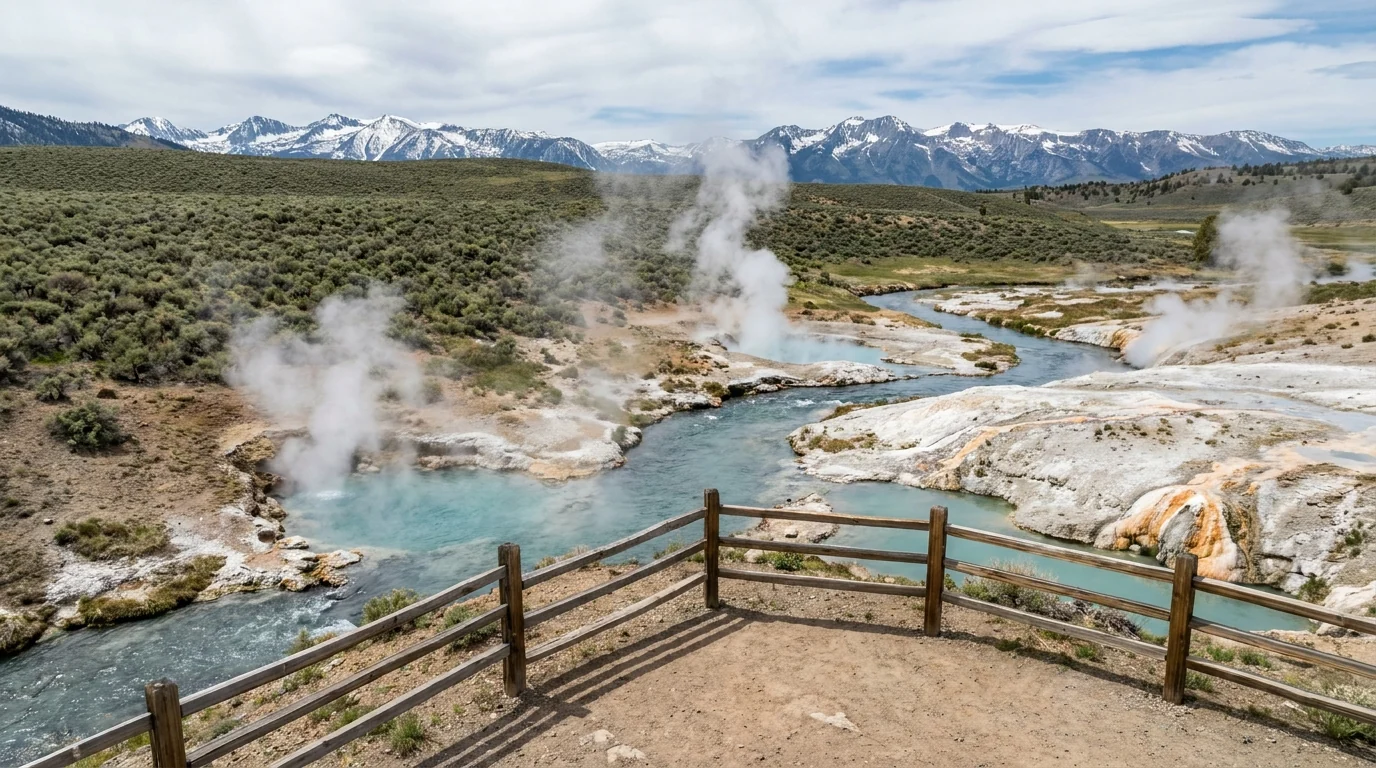
One highway runs the base of the tallest wall in the Lower 48, and almost everything worth doing here is reached by turning west off it and climbing — often to trailheads at 9,000 to 10,400 feet before you take a step. The payoff is enormous and close: tufa towers on an ancient lake, alpine-lake basins, the oldest trees on Earth. But the altitude is real from the first morning, the side roads to the good country close for winter, and the best overnights run on a permit quota. Name the gates, and it is one of the great drives in America.
The rest of this journal is evergreen; this box is not. On the 395 corridor two things decide whether your plan works before you lace a boot — whether the high side roads that climb off the highway are open (§03), and whether you hold the Inyo National Forest wilderness permit your overnight needs (§02). Layer smoke season and altitude on top. Everything below is dated to the day we checked it. Trust the live sources, not our date stamp.
The Eastern Sierra is the steep side of the range. Where the western slope rises gently for a hundred miles, here the crest drops in a single abrupt escarpment to the high desert of the Owens Valley, and Highway 395 runs the whole base of it. That geometry is the trip: nearly everything — the alpine lakes, the trailheads, the aspen canyons, the ancient trees — is reached by turning west (or, for the Bristlecones, east) off the highway and climbing hard and fast. From Mono Lake's tufa towers in the north, south past the June Lake Loop, Mammoth, Convict Lake, Rock Creek and Bishop, you are never far from a road that gains a vertical mile. Learn which of those roads are open, sort the permit your overnight needs, and pace yourself against altitude that starts working on you the first morning, and you get one of the most concentrated scenic corridors in North America.
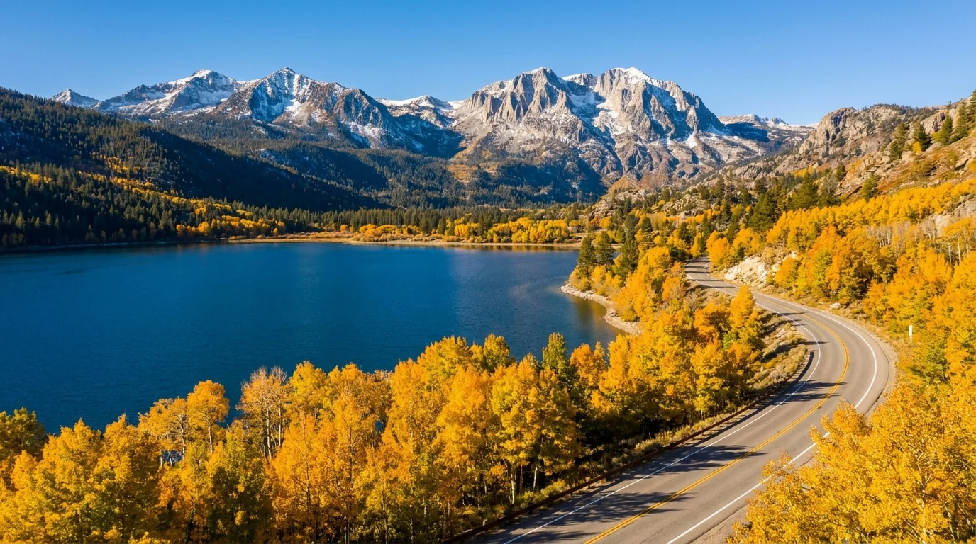
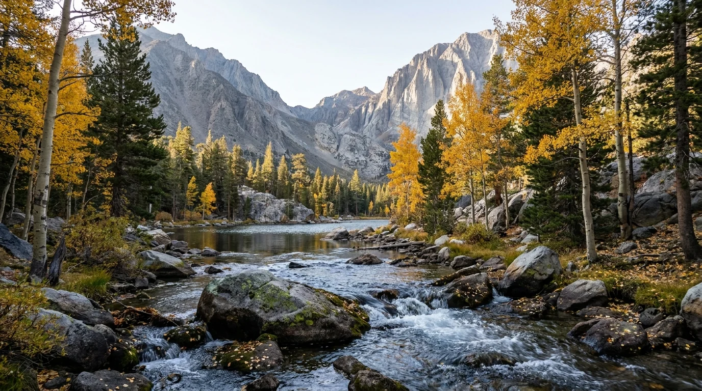
Alpine-lake basins a short climb off the highway — the Mammoth Lakes Basin, Little Lakes Valley, Bishop Creek — tufa towers on Mono Lake, the aspen gold of the June Lake Loop in fall, and the oldest trees on Earth in the White Mountains (§04, §05).
Mammoth town sits near 7,900 ft, but the trailheads are the story: the Lakes Basin near 8,900, South Lake near 9,750, Mosquito Flat at ~10,200, the Bristlecones near 10,000. You gain altitude fast here — fitness does not protect you (§06).
The side roads to the lakes close for winter and open late; the good overnights run on an Inyo NF permit quota; smoke season can erase the view. Sort the gates before the trail (§02, §03).
If you plan to sleep in the backcountry here, take this first. Day hiking the Eastern Sierra needs no permit — but every overnight trip into the John Muir, Ansel Adams, Golden Trout or Hoover Wilderness out of these trailheads runs on an Inyo National Forest wilderness-permit quota, booked through Recreation.gov. The famous trailheads sell out in minutes, so this is a plan-ahead system, not a walk-up one. Here is how it worked for 2026; confirm the current rules, fees and quotas before you count on a permit, because they are set each season.
| What you need | 2026 arrangement | Reported cost | The catch |
|---|---|---|---|
| Overnight wilderness permit required for backcountry camping |
Quota season 1 May – 1 Nov 2026; permits via recreation.gov/permits/233262 | ~$6 per permit + $5 per person (more if a trip enters the Mt. Whitney zone) | Tied to a specific trailhead and entry date; quotas are per-trailhead and small |
| The six-month reservation the way most people get one |
~60% of each trailhead's quota opens for booking six months ahead at 7 a.m. Pacific | Same permit fee | Popular trailheads — Bishop Pass, Mono Pass / Little Lakes — can sell out within minutes of release |
| The two-week release the second chance |
The remaining ~40% is released two weeks before the start date, bookable up to the day of entry | Same permit fee | Set an alarm; midweek dates and less-famous trailheads are far easier than a Bishop Pass weekend |
Every figure above is the reported 2026 arrangement. Confirm the quota season, per-trailhead quotas, fees and release times on Recreation.gov (permit 233262) before you plan a trip around them.
It is a wilderness overnight quota, not a park entry pass and not a campground reservation. It governs where and when you may sleep in the backcountry. It comes with rules: hard-sided bear canisters in most of the range, strict Leave No Trace, and campfire limits at elevation. Day use of the same trails is free and unpermitted.
If you want a wall-to-wall summer classic — the John Muir Trail passes through this country, and the Whitney zone to the south adds its own lottery — the permit system is the whole logistics game. Plan it like you would a hard-to-get campsite.
Per-trailhead quotas and exact names change; confirm your trailhead on the Recreation.gov permit page. Whitney-zone trips carry extra fees and a separate lottery (see No. 049).
Highway 395 is a fast, year-round, all-weather highway; that part is easy. The trip lives on the roads that leave it. Each west-side canyon has a paved road that climbs hard to a lake and a trailhead, and nearly all of them close in winter and reopen late once snow clears. Two more — the Reds Meadow / Devils Postpile road and White Mountain Road to the Bristlecones — are seasonal in their own way. Know which is which, and never build a day around a side road without checking it's open.
From the Highway 168 junction southwest of Bishop, three roads climb the forks of Bishop Creek to South Lake (~9,750 ft), Lake Sabrina (~9,150 ft) and North Lake. Each is a lake, a fishing base and a major backcountry trailhead (Bishop Pass, Sabrina Basin, Piute Pass), and the canyon is the region's showpiece aspen-gold basin in fall (§09).
Seasonal and steep. The upper roads close in winter and reopen late; the North Lake spur is narrow and rough near the end. Fill up in Bishop — there is no fuel up-canyon.

The road down to Reds Meadow, Devils Postpile National Monument and Rainbow Falls is narrow, and during the operating season it runs on a mandatory shuttle from the Mammoth Mountain Main Lodge — you don't drive your own car down. For 2026 the reported fares were about $15 adult / $7 child for a day pass, running into September.
A road-reconstruction project was affecting Reds Meadow access — confirm the current shuttle schedule and any closures with the National Park Service and Inyo NF before you plan a Postpile day.
The one road that climbs east, not west: from Highway 168 near Westgard Pass it gains roughly 3,000 feet over about ten miles to the Schulman Grove visitor center near 10,000 ft in the White Mountains (§05). Paved to Schulman Grove; the continuation to Patriarch Grove is dirt. It is closed in winter and opens late once snow clears — and there are no services on it.
Fuel and the altitude, again: fill up in Big Pine or Bishop, and remember you finish this drive near 10,000 ft — the walks up top feel it.
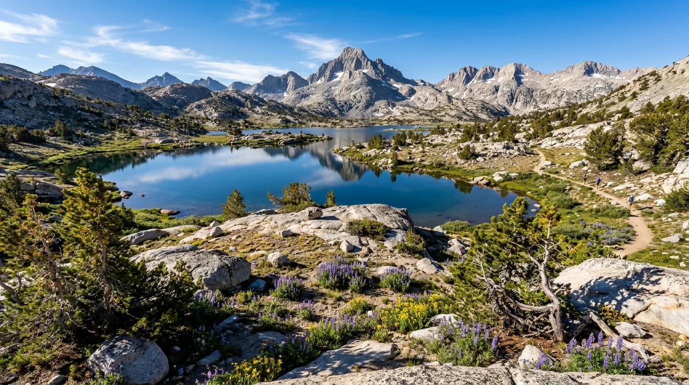
The Eastern Sierra does alpine lakes as well as anywhere on Earth, and the best of them are a short climb from a trailhead you drove to. The distances and gains below come from trail-guide and land-manager sources and are the best consensus figures we could find — but the Forest Service does not publish an official table the way a national park does, so treat every number as a planning estimate to confirm, and budget generously for altitude: a rough rule is 1.5× to 2× your sea-level time above 9,000 ft. Times quoted are fit-hiker estimates, not official figures. All mileages are round-trip unless noted.
Roughly 3–7 mi round trip depending how far you go · modest gain. From Mosquito Flat, a gentle valley trail passes lake after lake — Mack, Marsh, Heart, Box and beyond — under the Mono Divide. Turn around at any lake; the first few come quickly. Distances are trail-guide estimates — confirm at the trailhead.
You begin above 10,000 ft, so "gentle" still means thin air — this is a great acclimatised day, a rough first-morning one. Trailhead lot fills early on weekends.
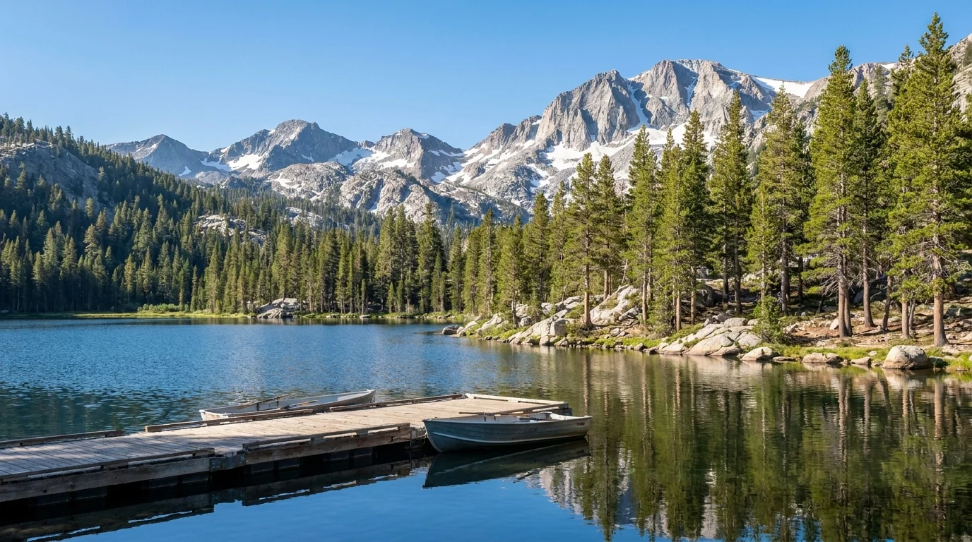
Easy shoreline strolls up to a big day. Ring the basin lakes on flat paths, or climb from Coldwater to Duck Pass — commonly cited around 5 mi one-way with substantial gain to a high pass and Duck Lake. Easy at the bottom, serious up high. Duck Pass distance/gain are trail-guide estimates; overnight needs a permit.
The basin sits at ~8,900 ft — a fine place to acclimatise on shoreline walks before anything bigger. Duck Pass is above treeline near the top; the storm rule (§06) applies.
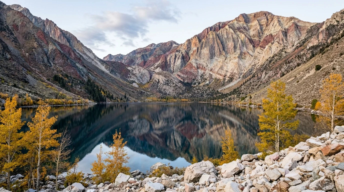
~2.5–3 mi loop · minimal gain around a lake at ~7,850 ft below spectacularly striped peaks. Easy, quick, and stunning at first light with the walls reflected. Loop distance varies by source — confirm at the trailhead. Open much of the year at this lower elevation, though winter brings snow and ice.
Popular; go early for the light and the parking. The trail beyond the lake climbs into the wilderness fast — that's a different, bigger day.
From South Lake (~9,750 ft), the trail climbs past the Chocolate Lakes and Bishop Lake toward Bishop Pass (~11,970 ft) and Dusy Basin — commonly cited around 6 mi one-way to the pass. A day hiker can turn around at any of the lower lakes; the full pass is a big, high day. Distances/elevations are trail-guide figures; confirm at the trailhead. Overnight needs the Bishop Pass quota (§02).
Fully exposed up high with sustained altitude. Start early — above treeline, the afternoon-storm rule (§06) is the plan, not advice.
From Lake Sabrina (~9,150 ft), the trail climbs the Middle Fork toward Blue Lake and the Sabrina Basin lakes — a beloved, lake-dense day with Blue Lake commonly cited around 3.5–4 mi one-way. Steady grade, big granite. Distances are estimates — confirm at the trailhead.
Snow lingers on the approach into early summer, and lake levels at Sabrina drop in dry years. Above-treeline sections carry the storm rule.
| Destination | Access road | Round trip* | Character | Reservation / permit |
|---|---|---|---|---|
| Little Lakes Valley | Rock Creek Rd (Mosquito Flat) | ~3–7 mi | gentle, very high start | None (day); quota if overnight |
| Mammoth Basin lakes | Lake Mary Rd | ~1–3 mi | easy shoreline | None |
| Duck Pass | Coldwater (Mammoth Basin) | ~10 mi RT | hard, above treeline | Quota if overnight |
| Convict Lake Loop | Convict Lake Rd | ~2.5–3 mi | flat loop | None |
| Bishop Pass | South Lake (Hwy 168) | ~12 mi RT to pass | high, exposed | Quota if overnight |
| Sabrina Basin / Blue Lake | Lake Sabrina (Hwy 168) | ~7–8 mi RT | moderate–hard | Quota if overnight |
| Methuselah Trail (Bristlecones) | White Mountain Rd | ~4.5 mi loop | high, exposed, ancient trees | None (§05) |
*All distances are consensus estimates from trail guides and land-manager pages, not an official Forest Service table. Confirm at the trailhead. Times in the entries above are fit-hiker estimates at altitude, not official figures.
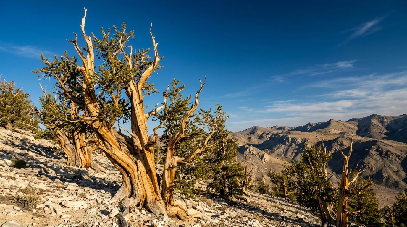
East of Big Pine, across the valley from the Sierra, the White Mountains hold groves of Great Basin bristlecone pine — individual trees over 4,000 years old, one of them measured past 4,800, the oldest known non-clonal living things on Earth. They survive precisely because the ground is hostile: high, dry dolomite where almost nothing else grows. Getting there is a genuine high-altitude drive, and the walks up top are at 10,000 feet. This is a highlight of the whole corridor — and a place to respect the altitude and the season.
From US-395 at Big Pine, take Highway 168 east, then White Mountain Road north. It climbs roughly 3,000 feet over about ten miles from ~7,280 ft to the Schulman Grove visitor center near 10,000 ft. The road is paved to Schulman Grove; the continuation to the higher Patriarch Grove is dirt and slower.
Closed in winter, opens late once snow clears — often later than the campground below it. No fuel, food or water on the mountain — bring your own.
These are 10,000-ft walks in thin, dry air with full sun and no shade — carry water, sun protection and a layer, and don't underestimate a "short" loop at this altitude.
Four things account for most of what goes wrong in the Eastern Sierra, and the first one is the one visitors most underestimate. Altitude here is not a summit problem — it is a first-morning problem, because you drive to trailheads at 9,000 to 10,400 feet. The second is the afternoon thunderstorm, the operational rule of a summer day up high. The third is water: the geothermal water at Hot Creek is lethal, and creek crossings run cold and fast at snowmelt. The fourth is wildlife-distance discipline in bear and bighorn country. None of it is exotic — it just has to be planned for.
Mammoth town sits near 7,900 ft, but you don't hike from town — you hike from trailheads at the Lakes Basin (~8,900), South Lake (~9,750), Mosquito Flat (~10,200) and the Bristlecones (~10,000). You gain elevation the moment you turn off 395.
Acute mountain sickness can begin as low as 8,000 ft and affects a meaningful share of people arriving from sea level — regardless of fitness. Symptoms: headache, shortness of breath, fatigue, loss of appetite, nausea, poor sleep. Being an athlete does not protect you.
If symptoms worsen, descend — descent is the treatment.
This altitude guidance is standard wilderness-medicine advice, not a substitute for a doctor. If you have cardiac or respiratory conditions, talk to one before a high trip.
If you're caught above treeline in lightning: avoid summits and isolated features, and crouch on your heels — do not lie flat. Carry raingear, a warm layer, map, headlamp and a first-aid kit even on a short hike. Hypothermia is a year-round risk at this altitude, not just a winter one.
This is black-bear country (no grizzlies). Mammoth and the canyon campgrounds have habituated bears — use the provided bear lockers, never leave food in a soft cooler or an open vehicle, and follow local storage rules. In the backcountry, hard-sided bear canisters are required for wilderness overnights across much of the Inyo. If a black bear approaches, stand tall and make noise; never run, and never approach a cub.
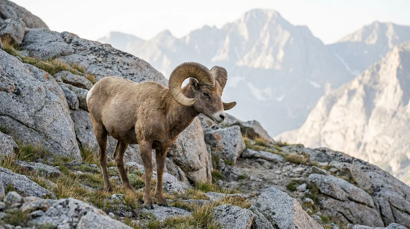
Sierra Nevada bighorn are endangered — give them the widest berth of all and never approach; some areas carry seasonal access rules to protect them. Mule deer are common along the canyons and on the highway at dawn and dusk — watch for them on 395 and the side roads. General guidance: keep well back from all wildlife, never feed or approach, and if an animal reacts to you, you are too close. Confirm any site-specific wildlife closures with the ranger district.
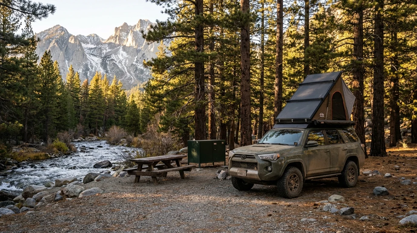
There is no single big national-park campground here — instead, a long chain of Inyo National Forest campgrounds up each side canyon: June Lake, the Mammoth Lakes Basin, Convict Lake, Rock Creek, and the Bishop Creek forks, plus a primitive dark-sky ground on the Bristlecone road. Most are on Recreation.gov, part reservable and part first-come; nearly all provide bear lockers; and most climb high enough that the altitude rule (§06) applies to where you sleep. Book the popular basin and lakeside sites early, and read the actual site type and price on Recreation.gov — the numbers below are honest, and several are flagged where sources disagreed.
| Campground | Canyon · elevation | Sites* | Booking | Notes |
|---|---|---|---|---|
| Silver Lake | June Lake Loop · ~7,200 ft | confirm | Reservation (Recreation.gov) | Lakeside on Hwy 158 under the big peaks; season & fee unconfirmed |
| Oh! Ridge | June Lake · ~7,600 ft | confirm | Reservation (Recreation.gov) | Open, sunny bench above June Lake; little shade |
| Twin Lakes | Mammoth Basin · ~8,600 ft | 92 | Reservation (Recreation.gov) | Lakeside, boat launch; first basin ground up from town |
| Lake Mary | Mammoth Basin · ~8,900 ft | confirm | Reservation (Recreation.gov) | On the biggest, most-stocked basin lake |
| Coldwater | Mammoth Basin · ~8,900 ft | 77 | Reservation (Recreation.gov) | Trailhead ground for Duck Pass & the wilderness |
| Convict Lake | Convict Lake · ~7,500 ft | 85 | Mixed: ~48 reservable + first-come | Below Laurel Mtn; flush toilets, water, dump station |
| East Fork | Rock Creek · ~8,900 ft | 133 | Reservation (Recreation.gov) | Large creekside base for the Little Lakes Valley corridor |
| Rock Creek Lake | Rock Creek · ~9,720 ft | 28 | Reservation (Recreation.gov) | High & cold, short of Mosquito Flat; coords approximate |
| Four Jeffrey | Bishop Creek (South) · ~8,100 ft | 106 | Mixed: reservable + first-come | Largest Bishop Creek ground; fee reported ~$34 (confirm) |
| Sabrina | Bishop Creek (Middle) · ~9,000 ft | 18 | Reservation | Small, just below Lake Sabrina; season & fee unconfirmed |
| Grandview | Bristlecone / White Mtn Rd · ~8,600 ft | 23 | First-come, donation | NO water — bring your own; superb dark skies |
*Site counts are from Recreation.gov / Inyo NF listings where we could confirm them; several are shown "confirm" where sources disagreed or we could not verify a 2026 figure. Seasons and fees are largely unconfirmed for 2026 and are set each season — only Four Jeffrey had a fee reported (~$34). Book by site on Recreation.gov and read the actual site type, season and price. All campgrounds here are on the Inyo National Forest.
Dispersed camping is allowed in places on the Inyo but is rule-bound (stay limits, distance from water and developed areas, and closures near the busy canyons and Mammoth). It is not a free-for-all pull-off system — check the current motor-vehicle-use and dispersed-camping rules for the district you're in.
Fire restrictions can shut off campfires and dispersed camping entirely in a dry summer, and a campfire permit is required for stoves and fires on the forest. Check the Inyo NF's current fire order and any dispersed-camping closures the week you go.
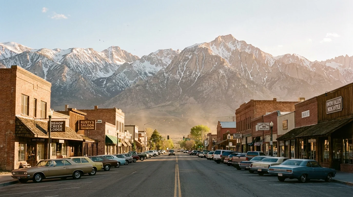
This corridor is unusually well-served for such big country, because two genuine towns anchor it. Mammoth Lakes is a full resort town; Bishop is the valley's largest and most practical. Between and around them, Lee Vining, June Lake, Tom's Place and the canyon resorts are smaller and mostly seasonal. Plan your resupply around that — and remember there is no fuel up any of the canyon roads, so fill up in town.
Confirm current hours before relying on any shop — mountain-town hours and seasons shift. The corridor is popular; book lodging and the marquee campgrounds well ahead in summer and fall.
Nearest commercial airports are Mammoth Yosemite (MMH, seasonal) and Bishop (BIH); Reno (RNO) is the big hub ~2.5–3 hrs north. Confirm seasonal openings before relying on any canyon resort.
We confirmed no operator pricing — any number you see elsewhere should come from the operator. Phone numbers, hours and seasons change; check the current website before you drive over. Several canyon resorts are summer–fall only.
The Eastern Sierra has one great constraint and one great bonus. The constraint is the side roads and the snow: the high canyons and White Mountain Road are only open roughly late June through October, and that window defines when you can reach the best country. The bonus is fall — the aspen canyons here put on one of California's finest color shows in late September and early October. Inside all of it, watch the wildfire and smoke outlook, which can override any calendar.
One workable shape, not the only one. It runs the corridor north-to-south, spends the first day low so your body can work, saves the highest trailheads for when you're acclimatised, and treats the Bristlecones as a grand finale. Adjust freely — but keep day one low and easy, keep every alpine start early, and confirm the side roads are open before you count on them.
Run it before you leave. Tap each item as it's done — these are the ten things specific to the Eastern Sierra that a general road-trip habit will skip. Most come back to two facts: the side roads and the permit decide your day before the trail does, and you gain a vertical mile off the highway, so the altitude starts working the first morning.
Every guide has these; most don't print them. The Eastern Sierra is national-forest land with no single authoritative table of distances and fees the way a national park has — so more numbers here are estimates than we'd like, and we've flagged them in place. Everything below was compiled 22 July 2026 and should be re-checked against the linked official source before you rely on it.
Everything above, condensed into a print-ready PDF built for the glovebox — for a corridor where the side roads and the permit decide your day before the trail does, the trailheads start at 10,000 feet, and the signal dies up the canyon. The wilderness-permit quota decoded, the side-canyon roads and their seasons, the campgrounds by canyon with honest 2026 gaps, the alpine-lake roster at honest numbers, the Bristlecones told straight, the Mono Lake and fall-color timing, and the honest list of what nobody could confirm — on paper that works where the bars don't.
Every Trekkr Trail Journal is built like this one: custom logistics, honest trail beta, the camping and access detail, and the local knowledge that turns a good trip into the one your crew talks about for years — including, always, a plain list of what we could not confirm. New destinations drop all season long, from the BC corridors to the Oregon Cascades to the California Sierra.
Unlock the Trail Journal Library