The hottest place on Earth, the lowest ground in North America, and the highest peak in the Lower 48 all sit inside a single drive. This is a landscape where the season decides everything before the trail does: summer on the valley floor is genuinely lethal, the fuel gaps run tens of miles, the cell signal dies at the park boundary, and the signature backcountry roads to the Racetrack and through Titus Canyon are high-clearance, two-spare-tire commitments. Come October to April, carry more water than you think, respect the heat and the distances, and it is one of the great desert weeks anywhere.
The rest of this journal is evergreen; this box is not. In Death Valley two things decide whether your plan works before you lace a boot — the season you come (§02), because summer on the valley floor kills people, and whether the roads you need are actually open (§03, §05), because flash floods tear out paved and dirt roads alike. Both change without notice. Everything below is dated to the day we checked it. Trust the live sources, not our date stamp.
Stand on the salt at Badwater Basin, 282 feet below sea level, and the wall to the west is the Panamint Range topped by Telescope Peak at 11,049 feet — nearly two vertical miles of relief in a single view. Drive 90 minutes over the range to Lone Pine and the wall to the west is the Sierra crest topped by Mt. Whitney at 14,505 feet, the highest summit in the contiguous United States. That is the shape of this trip: an extreme, below-sea-level desert of salt flats, dunes and painted badlands, joined to a granite Sierra wall and the movie-set boulders of the Alabama Hills at its foot. The distances are enormous, the services thin, the signal gone — and the season, not the trail, is what decides whether the plan works at all.
Salt flats, star-clean dark skies, painted badlands and dunes — Badwater, Zabriskie, Dante's View, Mesquite Flat, Artists Drive — plus the sailing stones of the Racetrack and the granite-and-film country of the Alabama Hills under Mt. Whitney (§04, §05).
The valley floor is the hottest place on Earth and summer is genuinely dangerous — 120°F+ (49°C+) is normal from June through August. This is not discomfort; it is a life-safety constraint. Plan the desert for Oct–April (§02, §06).
Fuel is tens of miles apart, cell service is largely absent, and the backcountry roads have no water and no help. Self-reliance isn't a style choice here; it's the price of entry (§03).
If you take one thing from this issue, take this. Death Valley is the hottest place on Earth by record, and the danger is not exaggerated marketing — it is a documented, recurring cause of death in the park. From late spring through early fall the valley floor is a heat emergency, and every year visitors die or are seriously hurt on walks that would be trivial in cool weather. The single most important planning decision you make about this park is when you come. Here is the honest version, and how to survive it if you come anyway.
| Season | Valley floor, roughly | What it's for | The catch |
|---|---|---|---|
| Oct–April the season |
Warm to mild; winter nights can be cold, high country can hold snow | Everything on the valley floor — Badwater, dunes, Artists Drive, canyon walks, the Racetrack road | Peak crowds and full campgrounds around holidays and the spring wildflower years; book Furnace Creek ahead |
| May & September–early Oct the shoulders |
Very hot; often 100–115°F | Early-morning valley stops only; high-country camps (Wildrose, Mahogany Flat) more comfortable | Heat is already dangerous mid-day; treat the floor as dawn-only and get high or leave by mid-morning |
| June–August the heat emergency |
Lethal; routinely 120°F+ (49°C+) | Honestly: the high country (Panamint crest, the Sierra) and the drive-through — not valley hiking | Below-sea-level hiking after mid-morning is a genuine risk to life; stay on paved roads and in A/C |
Temperature bands above are typical ranges, not forecasts — Death Valley regularly runs hotter than any table. Check the actual forecast for your dates, and remember the record high here is among the highest reliably measured on Earth.
The gallon-a-day figure is the NPS guideline, not a personal medical limit — heat tolerance varies; if you have cardiac or other conditions, take extra care and talk to a doctor before a summer trip.
Death Valley is not one climate — it is a stack of them. The valley floor sits below sea level; the park's high campgrounds climb to ~8,200 ft at Mahogany Flat, where it can be pleasant while Furnace Creek bakes, and it can snow up there in winter. Just west, the Sierra at Whitney Portal (~8,300 ft) is alpine.
The practical move on a hot trip: sleep and hike high, visit the floor at dawn. The reverse of the winter plan, where the high roads may be snowed shut and the warm valley floor is the comfortable place to be. Match your camp elevation to the season, not the postcard.
Death Valley is enormous — one of the largest national parks in the Lower 48 — and it is defined by distance as much as by heat. The paved loop connects the icons on good two-lane roads, but the gaps between services are long, the fuel is scarce and expensive, and cell coverage is largely gone. Layered onto that are the dirt roads (§05) and the ever-present chance that a flash flood has closed the route you were counting on. Plan fuel and water like a desert crossing, because that is what every day here is.
Cell coverage is poor to absent across most of the park and gone entirely on the dirt roads and much of the paved loop. Download offline maps and tell someone your route and return time before you leave pavement. Do not rely on your phone for navigation or rescue.
Flash floods close roads here — sometimes for months. Rain runs straight off bare rock and rips out roadbeds; a 2023 storm damaged large parts of the park's network. Check the park's road-status page before every day, and never enter a canyon or wash when rain threatens anywhere upstream.

From Furnace Creek, the drive west over the Panamint Range on Highway 190 past Stovepipe Wells and Panamint Springs takes you out of the park toward US-395 and Lone Pine — a couple of hours of empty, spectacular country with little between fuel stops.
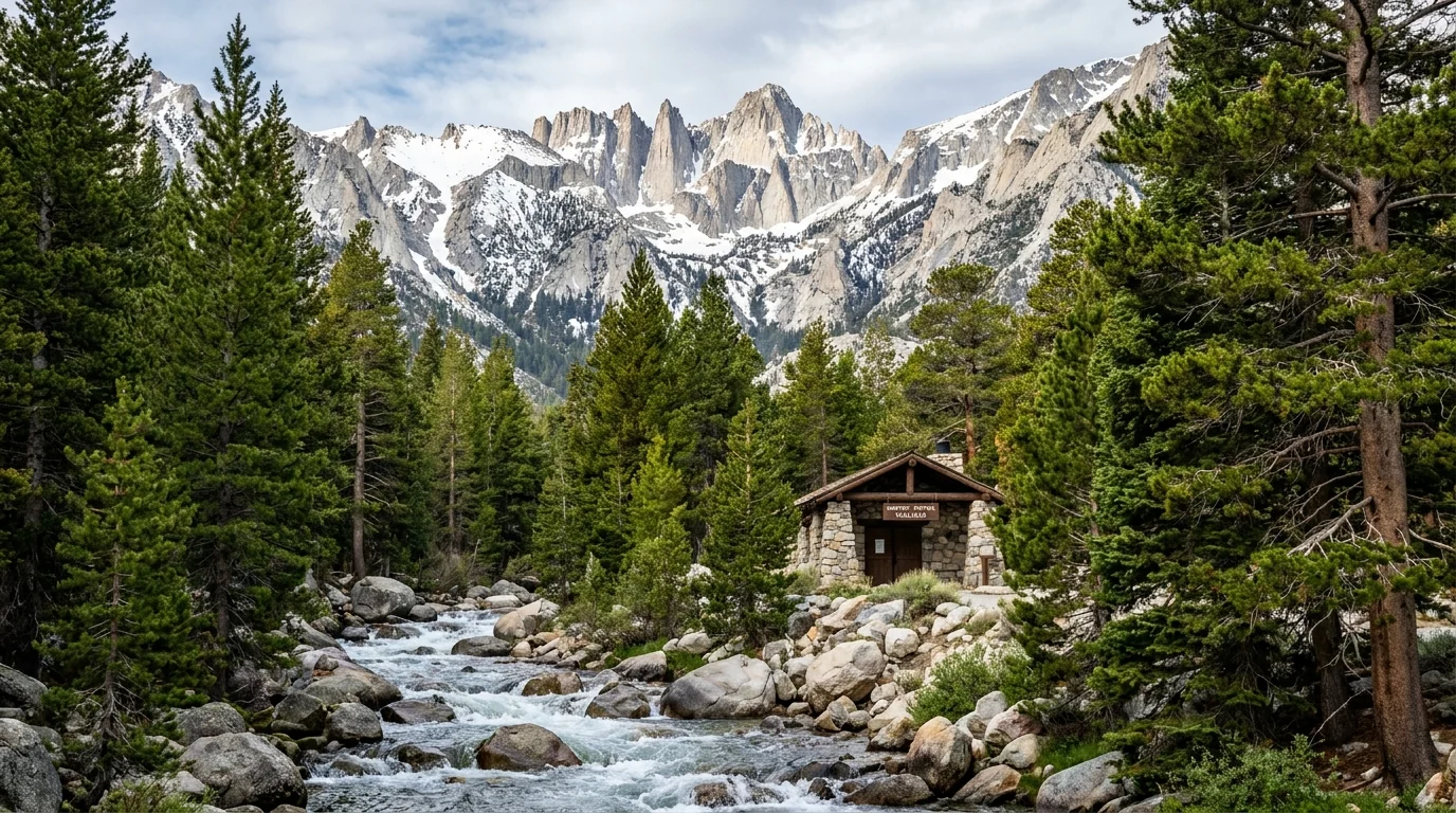
At Lone Pine, Whitney Portal Road climbs from ~3,700 ft in town to ~8,300 ft at the Portal in a dozen switchbacking miles, passing the turn for Movie Road into the Alabama Hills. The upper road is seasonal — it closes with winter snow — and steep; check status and brakes.
There is no fuel on the passes or up Whitney Portal Road. Fill in Lone Pine, Furnace Creek, Stovepipe Wells or Panamint Springs.
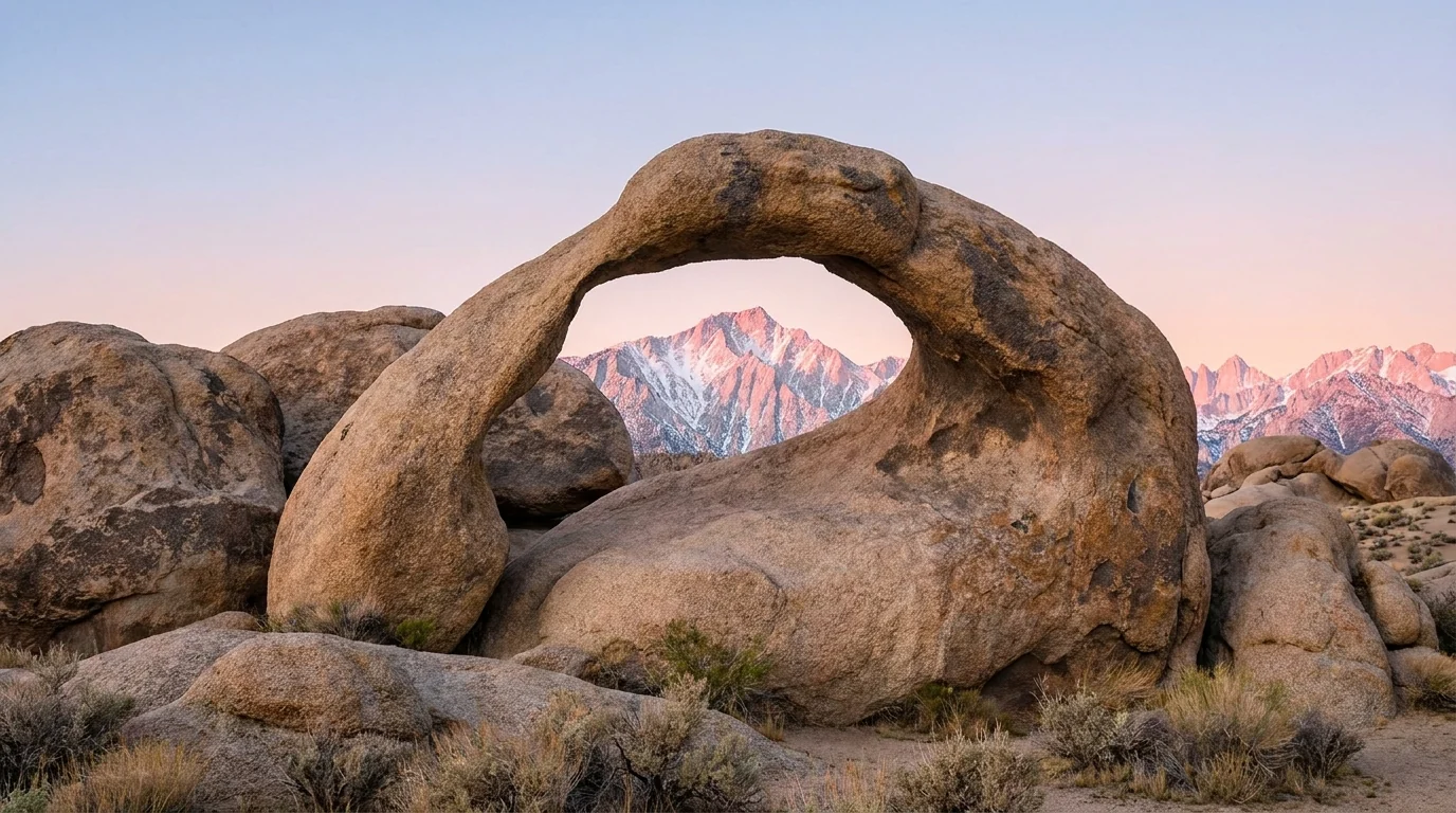
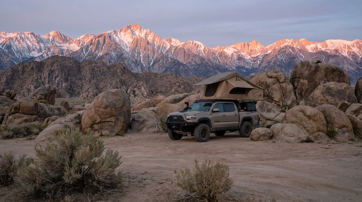
Movie Road is a graded dirt road most passenger cars can manage in dry conditions, winding among the rounded granite boulders where hundreds of Westerns and modern films were shot, to the Mobius Arch trailhead and its framed view of Mt. Whitney. The driving here is easy; the rules are the catch — camping is designated-site-only with a free permit, west-of-Movie-Road camping is banned, there's no water and no trash service, and everything packs out (§07).
Treat the Alabama Hills as the fragile, heavily-used place it has become: stay on existing roads and pullouts, don't drive on the desert crust, and use the vault toilets or pack out waste.
The great thing about Death Valley's headline sights is that most are roadside or a short walk; the hard thing is that "short" means nothing when the ground is 120 degrees. The distances below are widely-cited estimates from park and trail sources — the National Park Service does not publish a single official table the way some parks do, so treat every number as a planning estimate to confirm at the trailhead, and read every one of them through the season and heat rules of §02. All mileages are round-trip unless noted.
Clustered near Furnace Creek and strung south along Badwater Road. Nearly all are roadside or a short walk — and all are dawn-and-cool-season propositions in practice (§02).
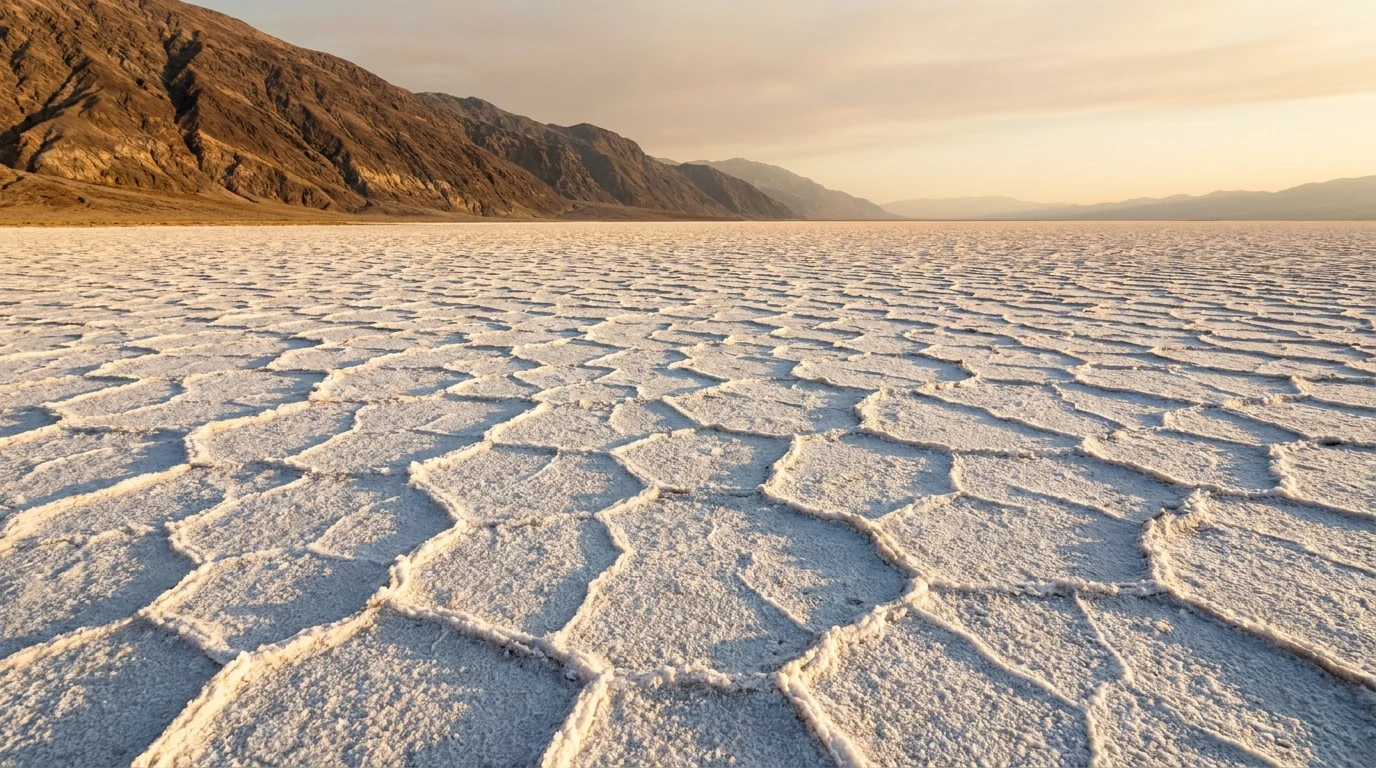
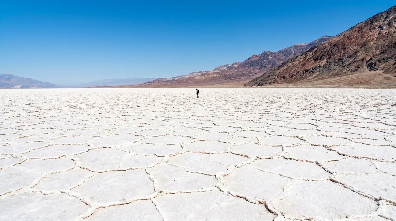
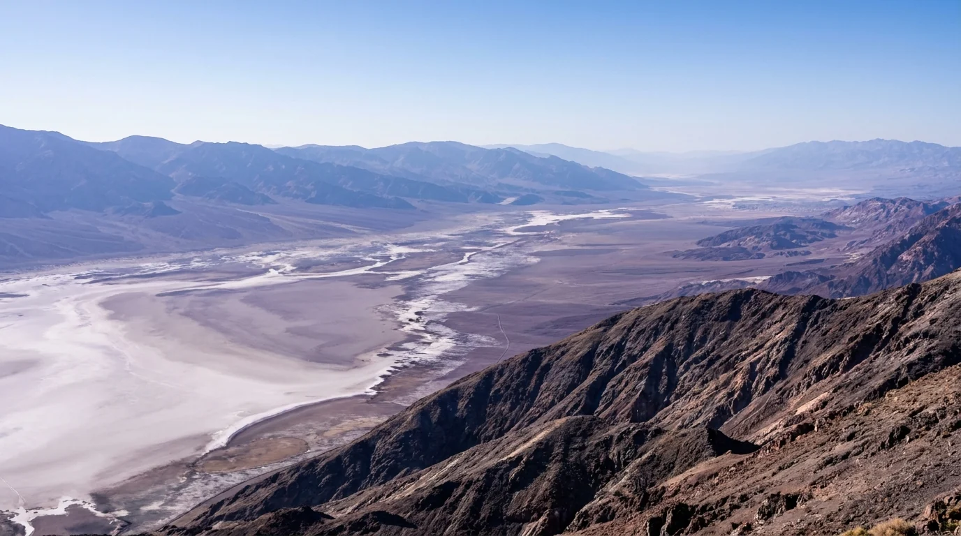
Badwater: a flat boardwalk-and-salt walk to the lowest point in North America, 282 ft below sea level — go as far onto the polygons as the heat allows. Dante's View: a paved drive to a ~5,475-ft overlook staring straight down onto Badwater — the single best big-picture view in the park, and far cooler than the floor.
Badwater's white salt reflects heat brutally; this is a dawn walk in the cool season, not a mid-day one. Dante's View road has a length/trailer restriction near the top — check before towing up.
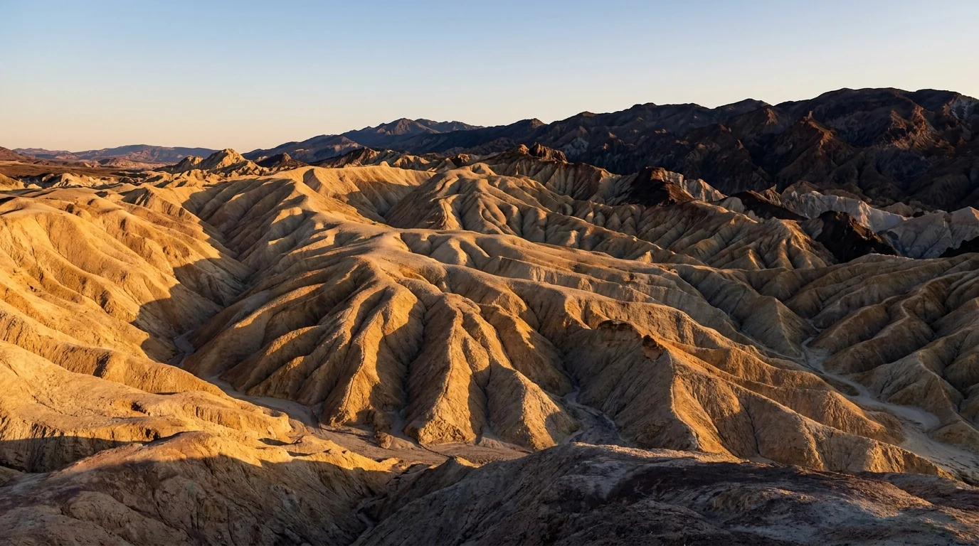
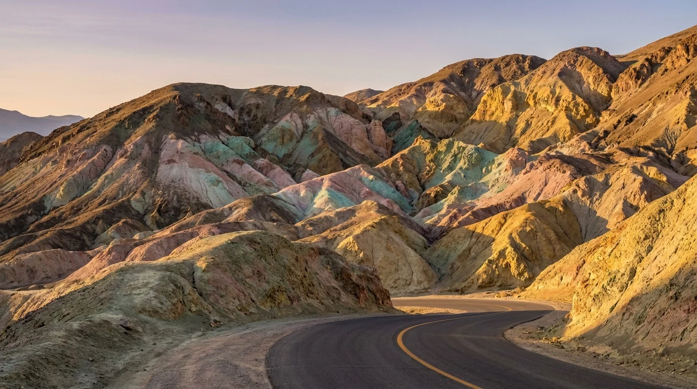
Zabriskie Point: a two-minute walk to the famous eroded-badland overlook above Furnace Creek — the classic sunrise. Artists Drive: a one-way, ~9-mile paved scenic loop off Badwater Road through wildly colored volcanic hills, with the Artists Palette pullout the highlight. Both are short and mostly from the car.
Artists Drive has a vehicle-length limit (it's narrow and dippy) — no big RVs or trailers. Golden Canyon and the Badlands Loop start near Zabriskie and are longer walks — cool-season, early-morning only.
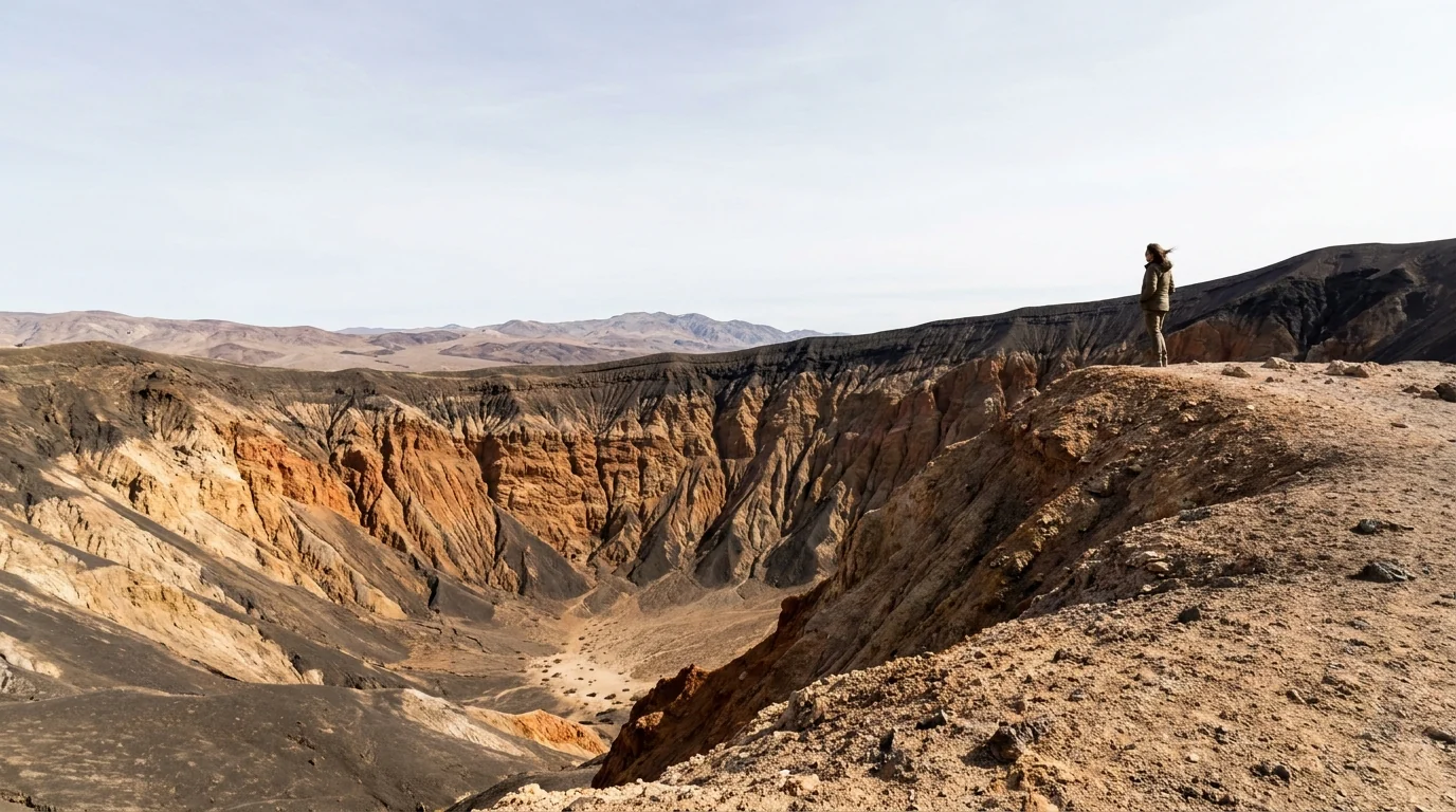
A ~600-ft-deep volcanic explosion crater at the north end of the park, right at the road end. A short rim walk gives the view; a steep, loose trail descends to the floor (easy down, a lung-buster back up). This is also the jumping-off point for the Racetrack road (§05), so many people combine them.
The rim is windy and exposed; the descent into the crater is loose scree and the climb out is deceptively hard in heat. Distances here are estimates — confirm on site.

Off Badwater Road, a short dirt spur reaches the Devil's Golf Course — a vast field of jagged, ankle-breaking rock-salt spires you can walk out onto carefully. It's a quick, strange stop, best in low light.
The salt is razor-sharp — good shoes, watch your footing, and keep children close. Like everything on the floor, it's a cool-hours stop.
Over the range at Lone Pine. A completely different world — granite, pines and running water — and a cool-weather refuge when the desert bakes.
~0.6 mi loop · minimal gain from the Movie Road trailhead to the Mobius Arch, which frames Mt. Whitney and the Sierra crest — one of the most photographed spots in the range. The wider Alabama Hills are a maze of rounded granite where hundreds of films were shot; wander the pullouts and short use-trails.
Easy walking, but heavily used and fragile — stay on trails, don't scramble on the arches, and read the camping rules (§07). Hot in summer despite the elevation; the loop distance is an estimate.
The standard Mt. Whitney trail climbs from ~8,300 ft at the Portal to 14,505 ft, roughly ~22 miles round trip with ~6,000+ ft of gain — a very long, high day or an overnight for most, and a lottery-permit objective (§00). This is a serious high-altitude effort, not a desert stroll; altitude sickness is a real risk despite fitness.
Permit required for the Whitney Zone, allocated by advance lottery. Altitude, afternoon storms and long hours are the hazards. Distance/gain are widely-cited figures — confirm on the Inyo NF permit page.
| Destination | Access | Effort* | Note | Permit / gate |
|---|---|---|---|---|
| Badwater Basin | Badwater Rd | Short flat walk | –282 ft, lowest in N. America | Heat-gated; dawn/cool season |
| Zabriskie Point | Hwy 190 | 2-min walk | Sunrise badlands | None |
| Dante's View | Paved spur | Drive-up | ~5,475 ft over Badwater | Length limit near top |
| Mesquite Flat Dunes | Hwy 190 | Open dunes, no trail | Dawn shoot | Heat-gated |
| Artists Drive / Palette | Off Badwater Rd | ~9 mi paved loop | One-way; colored hills | Vehicle-length limit |
| Devil's Golf Course | Short dirt spur | Careful short walk | Sharp salt spires | Heat-gated |
| Ubehebe Crater | North end road | Rim short; floor steep | ~600 ft deep crater | None; gateway to Racetrack |
| Mobius Arch (Alabama Hills) | Movie Rd | ~0.6 mi loop | Frames Mt. Whitney | None (camping needs permit) |
| Mt. Whitney | Whitney Portal | ~22 mi RT · ~6,000+ ft | 14,505 ft, Lower-48 high point | Whitney Zone lottery permit |
*Distances, gains and depths are consensus estimates from NPS/Forest Service and trail-guide sources, not a single official table. Confirm at the trailhead and on the managing agency's page. Titus Canyon and the Racetrack are covered in §05. Read every valley-floor entry through the heat rules of §02.
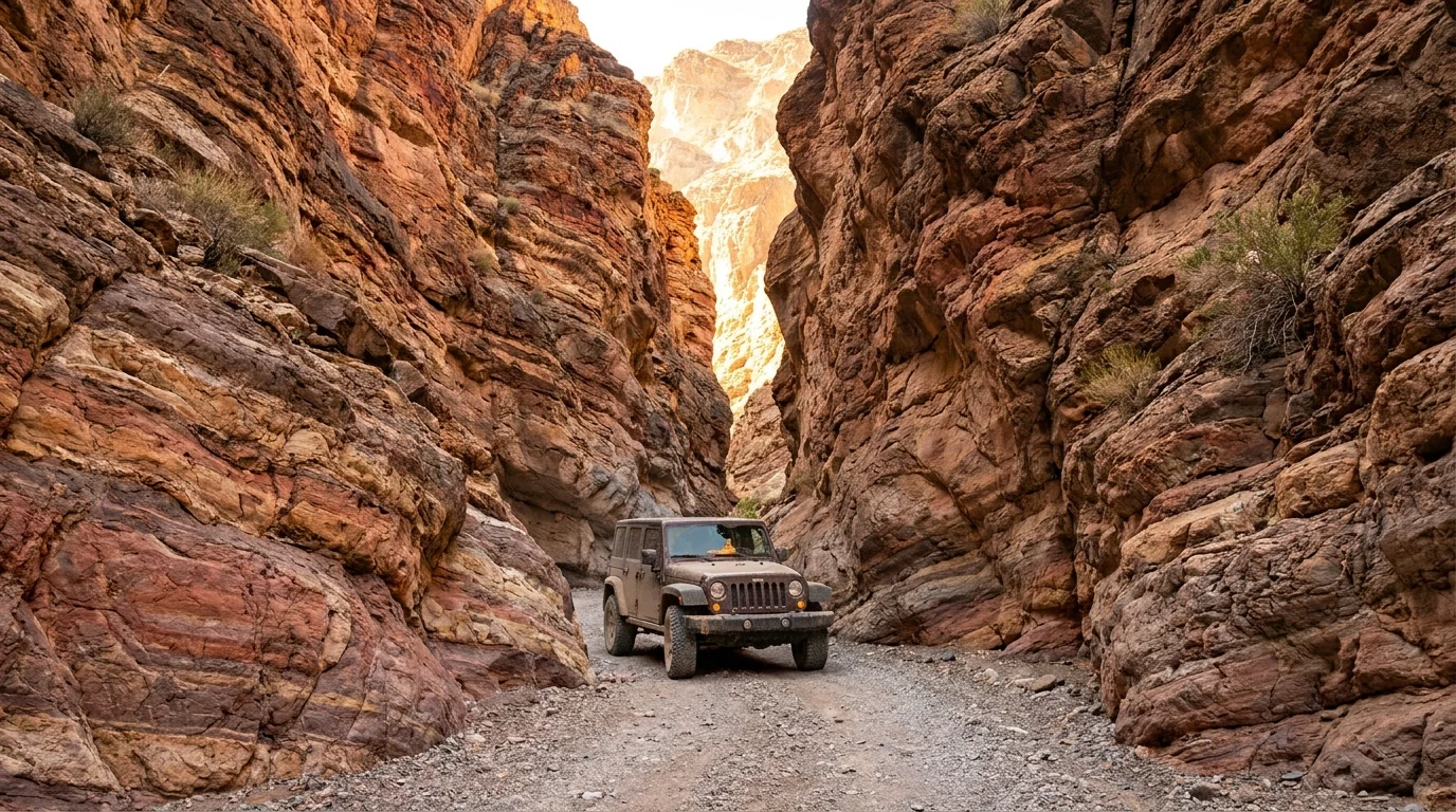
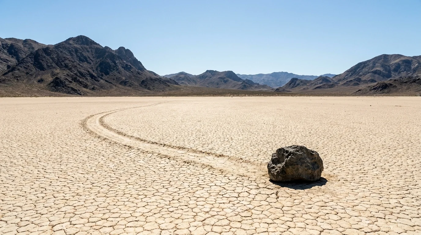
The Racetrack Playa — a dry lakebed where rocks leave long trails across the mud, apparently sliding on their own — is one of the strangest and most sought-after sights in the American desert. It is also reached by a road that is punishing on tires, tens of miles from the nearest help, with no water, no fuel and no cell service. We are not going to romance the drive, and we are not going to tell you a rental sedan can do it. Here is the honest version, and it applies to Titus Canyon too.
From Ubehebe Crater it is about 27 miles of unpaved, heavily washboarded road with sharp embedded rock to the Racetrack — slow going that shreds tires and rims. The park recommends high-clearance vehicles with heavy-duty (light-truck) tires and strongly advises carrying two full-size spares, because a single flat is common and a second one strands you.
There is no water, no fuel, no services and no cell signal anywhere near it, and a tow from the Racetrack can run into four figures. The road washes out and closes — confirm current status with the park before you go.
Exact seasonal open/close and the current 4x4-vs-high-clearance requirement vary year to year and after every storm — confirm current status with the park before you drive.
Most of what goes wrong here comes down to five things, and the first two are the same fact from two directions: this is an extreme-heat, low-water desert, and the margins are thin. Add the flash-flood danger, the very real altitude on the Sierra side, and the abandoned-mine hazards scattered across the region, and you have a landscape that rewards preparation and punishes improvisation. None of it is exotic — it just has to be planned for, because help is far away and the phone won't work.
This is the hottest place on Earth, and heat is the leading way visitors die here. Carry and drink plenty of water — on the order of a gallon (~4 L) per person per day, more if active — and eat salty food to replace electrolytes. Don't hike below sea level after mid-morning in warm months.
Heat illness is an emergency: heavy sweating then no sweating, confusion, nausea, fainting. Get the person into shade or air conditioning and cool them fast; heatstroke kills quickly.
This is general desert-safety guidance drawn from NPS advice, not a substitute for current park alerts or medical care. Confirm conditions with rangers.
If you see rising or muddy water, or hear a roar: get to high ground immediately and wait it out — do not try to drive or walk through moving water. Check the park's alerts before every day, because the road you planned on may already be gone.
This is rattlesnake and scorpion country. Watch where you put hands and feet, especially around rocks and in the cooler hours when snakes are active, and shake out boots and bags. Give any snake a wide berth and never handle one. Keep well back from all wildlife, never feed it, and don't let animals reach your food or water. Confirm current wildlife guidance with rangers.
The flip side of the extreme: winter nights on the valley floor can be cold, and the high country and Sierra get genuine snow and sub-freezing temperatures. Whitney Portal Road and the high park campgrounds can be snowed shut. Pack real layers even on a desert trip — a warm day at Badwater and a freezing night at 8,000 ft can happen in the same 24 hours. Hypothermia is a shoulder-season and high-country risk here as much as heat is a summer one.
Camping here spans three agencies and nearly 8,000 vertical feet: the National Park Service grounds from the below-sea-level floor to the Panamint high country, the BLM's Alabama Hills and Tuttle Creek on the Sierra side, and the Inyo National Forest campgrounds up Whitney Portal Road. Only one park campground — Furnace Creek — takes reservations; the rest are first-come. The trick is matching your camp elevation to the season (§02): high in the heat, low in the cold. Fees and seasons below are compiled from the agencies and vary by source — confirm before you rely on them.
| Campground | Area · manager | Elev. | Sites | Booking | Reported fee* |
|---|---|---|---|---|---|
| Furnace Creek | Valley floor · NPS | ~–196 ft | 136 | Reservable Oct 15–Apr 15, else first-come | ~$22–36 (confirm) |
| Sunset | Near Furnace Creek · NPS | ~–190 ft | large (RV-style lot) | First-come | ~$14–16 (confirm) |
| Texas Springs | Near Furnace Creek · NPS | ~sea level | ~92 | First-come | ~$16 (confirm); no generators |
| Stovepipe Wells | Hwy 190 · NPS | ~sea level | ~190 | First-come | ~$14 (reported) |
| Mesquite Spring | North end · NPS | ~1,800 ft | ~30 | First-come | ~$14 (reported) |
| Wildrose | Panamint high country · NPS | ~4,100 ft | ~23 | First-come | Free (reported) |
| Mahogany Flat | Panamint crest · NPS | ~8,200 ft | ~9 | First-come; high-clearance road | Free (reported); ~mid-Apr–Dec |
| Alabama Hills (dispersed) | Movie Rd · BLM | ~4,500 ft | ~50 designated | Free permit required; first-come | No fee; no water, pack out |
| Tuttle Creek | Below Alabama Hills · BLM | ~5,120 ft | ~80+ | First-come | modest fee (confirm); has dump station |
| Whitney Portal | Whitney Portal Rd · Inyo NF | ~8,000 ft | ~43 | Reservable (Recreation.gov) | fee unconfirmed; seasonal, water, bear boxes |
| Lone Pine | Whitney Portal Rd · Inyo NF | ~6,000 ft | ~43 | Reservable (Recreation.gov) | fee unconfirmed; seasonal |
| Panamint Springs Resort | West edge · private | ~1,900 ft | tent/dry/hookup + cabins | Reservable (operator) | confirm with resort; showers, store, gas |
*Elevations, site counts, seasons and fees are compiled from NPS, BLM, Inyo National Forest, Recreation.gov and operator listings and vary by source and by season. Several fees are shown as ranges or "confirm" because sources disagreed. Emigrant (NPS, free, tent-only) had its water and restrooms closed after 2025 flood damage — confirm its status before counting on it. Additional free high/primitive NPS grounds (Thorndike, plus remote sites) exist but need high-clearance access and have no services. Book Furnace Creek on Recreation.gov and confirm everything else on the manager's page.
Camping is designated-site-only and needs a free BLM permit (SierraForever.org, the Eastern Sierra Visitor Center, or a ranger). Sites are marked with a tent symbol, mostly on the east side of Movie Road; camping on the west side is not allowed. The permit is free and does not reserve a spot — all first-come.
There is no drinking water and there are no trash cans. Pack out everything, including trash (a free dumpster sits at Tuttle Creek); use the few vault/porta toilets or pack out human waste; use existing fire rings with a free California campfire permit. Stay on existing roads — don't drive on the crust.
Services here cluster at a handful of points separated by a lot of empty. Inside the park, Furnace Creek is the hub — visitor center, resort, store, gas — with Stovepipe Wells and Panamint Springs as smaller outposts. Over the range, Lone Pine on US-395 is a proper small town with motels, cafés, a grocery, gear shops and the film museum. Plan your resupply around that gradient, keep the tank full, and remember there is no fuel between the outposts or up the Sierra roads.
Hours, fuel availability and seasonal closures change — confirm on each operator's site before you rely on it. Gas here is expensive; fill cheaper outside the park when you can.
The Eastern Sierra Visitor Center just south of Lone Pine (Hwy 395/136) is the one-stop for park info, Alabama Hills permits and Whitney details — confirm current hours.
We confirmed no operator pricing — any number you see elsewhere should come from the operator. Phone numbers and hours change; check the current website before you drive over.
Death Valley has one hard constraint and one secondary one. The hard constraint is heat: the valley floor is a genuine season, October through April, and summer is a heat emergency. The secondary one is snow and cold at altitude, which flips the high-country and Sierra options between comfortable summer refuges and snowed-shut winter closures. Pick your window by what you want — the icons on the floor, or the high country — and match your camp elevation to it.
One workable cool-season shape, not the only one. It front-loads the valley-floor icons to dawn slots, keeps fuel and water topped up, treats the backcountry roads as the serious commitments they are, and ends over the range in the Alabama Hills. Adjust freely — but do valley walks at dawn, never start a dirt road low on gas, water or spares, and confirm road status before you count on any route.
Run it before you leave. Tap each item as it's done — these are the ten things specific to Death Valley and the Eastern Sierra that a general road-trip habit will skip. Most come back to two facts: the heat and the distance decide your day before the trail does, and out here the phone won't save you.
Every guide has these; most don't print them. This region mixes National Park, BLM, Forest Service and private land, and the numbers that matter most — fees, seasons, exact road status — change with the weather and the budget year. So more figures here are estimates than we'd like, and we've flagged them in place. Everything below was compiled 22 July 2026 and should be re-checked against the linked official source before you rely on it.
Everything above, condensed into a print-ready PDF built for the glovebox — for a park where the season is a life-safety decision, the signal dies at the boundary, and the signature drive is a road that eats tires far from any help. The lethal-heat season math, the paved-loop icons from Badwater to Dante's View, the Racetrack and Titus Canyon told straight, the fuel-and-water discipline, the campgrounds by manager and elevation with reported fees, the Alabama Hills free-permit rules, the Mt. Whitney lottery, the flash-flood reality, and the honest list of what nobody could confirm — on paper that works where the bars don't.
Every Trekkr Trail Journal is built like this one: custom logistics, honest trail beta, the camping and access detail, and the local knowledge that turns a good trip into the one your crew talks about for years — including, always, a plain list of what we could not confirm. New destinations drop all season long, from the BC corridors to the Oregon Cascades to the California deserts and the Sierra.
Unlock the Trail Journal Library