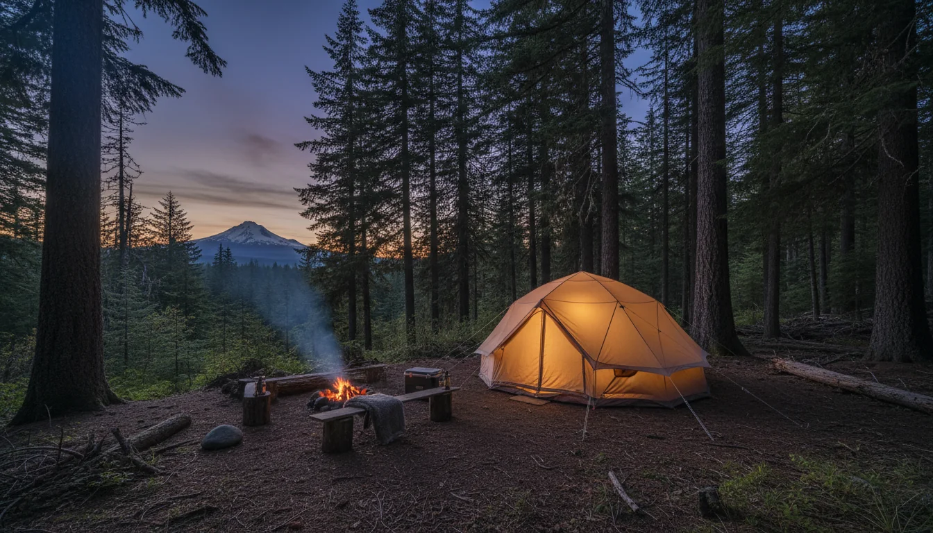
A waterfall corridor carved by Ice-Age floods, a year-round volcano an hour from the freeway, and a loop most people drive with three wrong assumptions. Multnomah Falls needs a permit — but only for one lot, and only some of the time. Mount Hood is under a forest-wide campfire ban all summer. And the Gorge's most famous trails are still closed nine years after a fire. This issue is about getting that right before you leave home.
The rest of this journal is evergreen; this box is not. Everything below is dated to the day we checked it, and the most perishable items here — the Multnomah permit season, the Mt. Hood fire ban, the Eagle Creek Fire closures — change faster than any printed guide. Worse, every U.S. Forest Service page returned HTTP 403 to our fetcher, so the trail statuses below are from search summaries and must be re-verified on the day. Each item gives you the 60-second check as well as the snapshot. Trust the procedure, not our date stamp.
The classic route this issue is built around is a loop: I-84 east out of Portland → the Historic Columbia River Highway (US-30) waterfall corridor → Hood River → OR-35 south to Mount Hood → US-26 west → back to Portland. It threads two completely different worlds. The Gorge is a basalt canyon hung with waterfalls, carved to its present shape by the Ice-Age Missoula floods and planted with the first purpose-built scenic road in the United States. Mount Hood is a glaciated volcano with a year-round ski area, alpine reflection lakes and a 1930s WPA lodge. You can touch both in a weekend, and most people do.
This is our first issue over the line into Oregon, and it inherits the discipline of the series. Almost everything that governs a 2026 trip here is a permit, a closure or a ban — and the three that matter most are the ones visitors get wrong: the Multnomah Falls timed permit (which lot? which hours?), the Mount Hood campfire ban (yes, inside campgrounds too), and the state of the Gorge trail network nine years after the Eagle Creek Fire. We lead with those. And where our sources were blocked — which, on this route, means the entire U.S. Forest Service website — this guide says so out loud and hands you the live tracker instead of a number that will rot.
The most common planning mistake in the Gorge is treating "the Historic Highway" and "I-84" as the same road. They are not. One is a 1913 scenic route with the waterfalls on it; the other is the modern freeway. Which one you're on decides whether you need a permit, where you can park, and what's under construction.
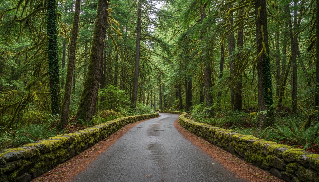
The 1913–1922 scenic road, described as "the first planned scenic roadway in the United States," 70 miles end-to-end (Troutdale → The Dalles), and "3 to 5 hours minimum to drive." The westernmost ~24 miles from Troutdale carry the waterfall corridor — Crown Point/Vista House, Latourell, Bridal Veil, Wahkeena, Multnomah, Horsetail. This is the road you actually want for the falls, and — importantly — it needs no Multnomah permit in 2026.
The modern freeway on the riverbank, used to move quickly between the scenic segments and to reach Multnomah Falls' main lot at Exit 31. That Exit 31 lot is the one place the timed-use permit applies (§04). Most travellers cover Troutdale → Hood River on I-84 rather than driving the full historic road, then dip onto US-30 for the waterfall segment.
Oregon puts five different pass and permit systems in play on this loop, they work differently, and no single one gets you through the whole trip. Sort out which you need before you leave — two of them (the Multnomah permit and the Sno-Park permit) cannot be substituted by any other pass.
| Where you are | What you need | 2026 price | The catch |
|---|---|---|---|
| Forest Service day-use Trillium Lake Day Use, many Mt Hood trailheads |
Northwest Forest Pass or America the Beautiful | NW Forest Pass $30/yr or $5/day | ATB substitutes for it. ⚠️ fs.usda.gov intermittently 403s — figures via search summary + WTA/REI |
| Multnomah Falls (I-84 lot), in season | Timed-use permit (§04) | $2 ⚠️ secondary | No pass replaces it. Does not guarantee parking. US-30 needs none |
| Federal recreation nationwide | America the Beautiful | $80 resident annual | 🔴 A $250 non-resident tier was flagged in earlier research — re-verify before overseas/Canadian readers assume $80 |
| Oregon State Parks day-use Latourell, Bridal Veil, Crown Point/Vista House |
Oregon State Parks day-use permit | $10 resident / $12 non-resident | 🔴 New fee sites in the Gorge for 2026. Waived for walk/bike/transit/drop-off |
| Any Sno-Park, Nov 1 – Apr 30 | Sno-Park permit (§14) | $25 annual / $9 three-day / $4 one-day | Standalone — NW Forest Pass, ATB and State Parks pass do not substitute |
| Overnight camping | Per-night camp fee (§12) | Varies | No pass covers this |
The Oregon State Parks day-use permit is $10 resident / $12 non-resident, valid all day at any Oregon state park. What changed for 2026 is which Gorge sites now charge it. As of 30 March 2026, Latourell Falls (Guy Talbot SP) and Bridal Veil Falls added the day-use fee; Crown Point / Vista House and Lewis & Clark were added 1 October 2025. The fee is waived for anyone arriving on foot, by bike, by transit, or dropped off — the same carve-out that applies at Multnomah. Because the roster is actively growing, treat any "it's free" claim about a Gorge state park as something to re-check.
The Northwest Forest Pass ($30 annual / $5 day) covers Forest Service day-use fee sites across Oregon and Washington, and America the Beautiful substitutes for it. Both figures came to us via search summary plus corroborating secondary sources (WTA, REI), because fs.usda.gov intermittently blocked our fetch.
On America the Beautiful: the resident annual is $80, but earlier research flagged a possible $250 non-resident tier. If that two-tier pricing is in effect in 2026, an overseas or Canadian reader pays $250, not $80. We could not re-verify it this pass, so check the NPS store before you buy — this is a material difference for a foreign visitor.
This is the most important logistics fact in the issue, and it is the one people get most wrong. The 2026 timed-use permit is real, but it is far narrower than the rumour: one lot, part of the day, part of the year. Read this once and you will skip the whole system if you want to.
| Item | 2026 detail | Source quality |
|---|---|---|
| Where it applies | The I-84 (Exit 31) Multnomah Falls parking lot only | ODOT (primary) |
| Where it does NOT apply | The Historic Highway / US-30 at the falls — no permit in 2026 — but parking there is a small privately operated paid lot that fills fast | ODOT (primary) |
| Season | May 22 – Sept 7, 2026 | ODOT + Recreation.gov |
| Hours needing a permit | 9 a.m. – 6 p.m. daily. Outside those hours, none needed | Recreation.gov (primary) |
| Cost | $2 per vehicle ⚠️ | Secondary guides only — confirm at checkout |
| Per vehicle | One permit per vehicle; a visitor may buy up to two per day | Recreation.gov |
| Release — wave 1 | 14 days ahead, 7 a.m. PT, rolling daily | Recreation.gov |
| Release — wave 2 | 2 days ahead, 7 a.m. PT, rolling daily | Recreation.gov |
| Free walk-up permits | Limited number, free, first-come same-day at the Gateway to the Gorge Visitor Center (Troutdale) and the Cascade Locks Historical Museum | Recreation.gov / museum |
The fee and permit never apply to anyone who walks, bikes or arrives by transit. ODOT points to Columbia Area Transit (CAT) — the "Columbia Gorge Express" bus, which stops at Multnomah Falls, and the Sasquatch Shuttle, which serves the Historic Highway lot first-come, first-served for a fee. If parking anxiety is the thing keeping you from the Gorge's signature stop, transit removes it entirely.
On the $2 fee: neither the ODOT page nor the Recreation.gov page displayed the price in the text we could read. The $2/vehicle figure comes from secondary guides, and the permit has historically been $2 — but confirm the exact fee on Recreation.gov's checkout before you rely on it.
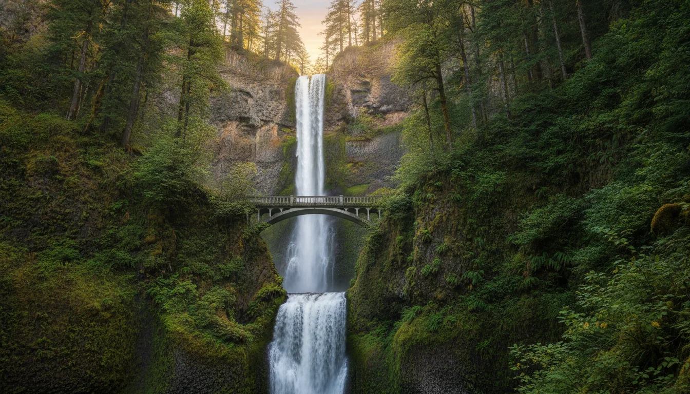
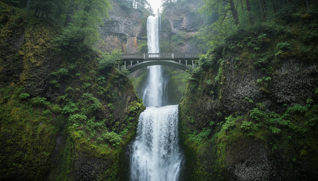
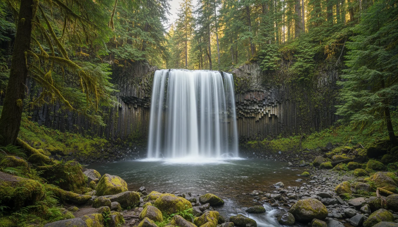
620 feet total drop (upper plus lower), measured by USGS in 1916 — the tallest waterfall in Oregon. Multnomah Falls Lodge, the 1925 stone lodge, has been on the National Register of Historic Places since 1981.
The falls are widely marketed as "the second-highest year-round waterfall in the nation." That is a tourism claim, not a settled fact, and it is disputed — old photos even labelled the falls "over 800 feet" before the 1916 survey corrected them to 620. So you will not read "second-tallest in the US" in this guide. The safe, true statement is the one worth remembering: tallest in Oregon, 620 feet.
The most photographed spot in the Gorge is a 1918 stone rotunda on a headland 700-odd feet above the river. It is also a building with no air conditioning that closes on hot afternoons — the exact afternoons you're most likely to drive out for it.
Summer 2026 hours: open daily 9 a.m. – 6 p.m., beginning 19 April, through 31 October. Shoulder season (from 14 March) runs 10 a.m.–4 p.m.; winter is weekends only, weather permitting. The viewpoint sits on Crown Point, roughly 733 ft above the river, on the Historic Highway — one of the most photographed spots in the Gorge and the trailhead framing for the whole waterfall corridor to the east.
Note the §03 change: as of 1 October 2025, Crown Point / Vista House is now an Oregon State Parks day-use fee site — $10 resident / $12 non-resident, waived for walk/bike/transit/drop-off.
Oregon State Parks states it plainly: "The Vista House will close when forecasted or observed temperatures exceed 93°F." The 1918 building has no air conditioning, and Gorge summer afternoons hit that threshold regularly. This can shut the marquee viewpoint with no notice on exactly the kind of clear, hot day you'd choose to visit.
The workaround is timing: come in the morning on a forecast-hot day. The exterior viewpoint and the drive are worth it regardless, but don't build a hot afternoon around getting inside.
Park information lines for the heat check (state-park lines, not businesses): (503) 695-2261 / (503) 695-2240.
The roughly 24 miles from Troutdale carry the densest run of roadside waterfalls in the state. Most are permit-free and open. Two are not — and the two closures are exactly the ones people still drive out to find. Every Forest Service status below is search-summary only, because their site blocked us; re-verify on the day.

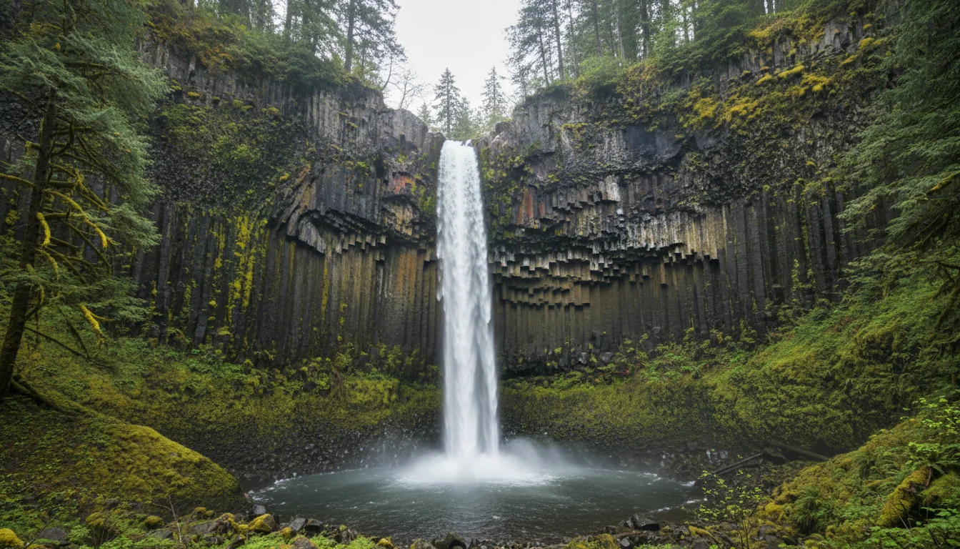
A 249-ft plunge at Guy W. Talbot State Park, off a short paved loop, and the westernmost of the marquee falls. Open and, until recently, free — but note the §03 change: Latourell (Guy Talbot SP) and Bridal Veil Falls became Oregon State Parks day-use fee sites on 30 March 2026. The bright columnar basalt behind the falls is the classic Latourell shot.
Permit-free status for the individual falls comes from a 2026 waterfall-guide search summary, corroborated by the ODOT permit page. Only Multnomah's I-84 lot requires the timed permit in 2026 — no primary Forest Service page was directly readable.
| Waterfall | 2026 status | Notes |
|---|---|---|
| Latourell Falls | Open | 249-ft plunge, Guy W. Talbot SP; short paved loop. Now an Oregon State Parks fee site (Mar 30 2026) |
| Bridal Veil Falls | Open | Now an Oregon State Parks fee site (Mar 30 2026) |
| Wahkeena Falls | Open | Popular as the Wahkeena–Multnomah loop paired with Multnomah |
| Multnomah Falls | Open — I-84 lot needs the timed permit (§04) | 620 ft, tallest in Oregon |
| Horsetail Falls | Open, permit-free | Roadside on the HCRH; trail continues to Ponytail / Upper Horsetail |
| Oneonta Gorge (slot canyon) | 🔴 CLOSED through July 7, 2026 unless rescinded | 2.75-Mile Bridge storm-damaged. See §07 |
| Elowah Falls | 🔴 Direct trail CLOSED (landslide) | Falls still visible from the Upper McCord Creek Falls trail |
The single most important thing to understand about hiking the Oregon-side Gorge in 2026: the trail network is still recovering from a 2017 fire, it gets re-damaged most winters, and a December 2025 storm just reset the clock on the worst of it. Do not plan around a printed open/closed list — plan around the day-of tracker.
⚠️ The USFS closure pages themselves returned 403 to our fetcher — this background is quoted from search summaries of the CRGNSA closure order, not a page we could load directly.
| Trail / area | 2026 status | Note |
|---|---|---|
| Eagle Creek Trail #440 | ⚠️ Search summary says reopened May 1, 2026 | UNCONFIRMED against the live order (403). The winter storm-closure order ran "through October 31, 2026 or until rescinded." Verify day-of |
| Oneonta Gorge (slot canyon) | 🔴 CLOSED through July 7, 2026 unless rescinded | Area between the HCRH and the Horsetail Falls Trail bridge over Oneonta Creek |
| Oneonta Trail #424 (upper, to Triple Falls) | Open | Distinct from the closed lower gorge — a real, open alternative |
| Ruckel Creek Trail #405 | 🔴 Closed (Eagle Creek Fire) | Search summary |
| Tanner Butte Trail #401 | 🔴 Closed (Eagle Creek Fire) | North of the Tanner Cutoff #448 junction |
| HCRH State Trail, Eagle Creek ↔ Cascade Locks | 🔴 Impassable | Dec 2025 landslide left boulders, trees and "about 12 feet of material" on the trail |
Halfway along the Gorge sits the one incorporated city directly on the Pacific Crest Trail, and the steel cantilever bridge that carries the PCT across the Columbia into Washington. The bridge is a photograph, a toll and — for anyone on foot — a genuine hazard.
Vehicle toll: $3 (raised to $3 in July 2022 — ⚠️ confirm it hasn't changed for 2026). Pedestrians and cyclists pay no toll — but 🔴 there is no sidewalk and no protective barrier, and the Pacific Crest Trail crosses here, so hikers share the narrow two-lane deck with traffic. This is not a casual family stroll across.
2026 is the bridge's 100th anniversary, with events planned for fall 2026.
Cascade Locks is the only incorporated city directly on the Pacific Crest Trail — a natural human-interest beat, and PCT thru-hikers roll into town in August for resupply. It's a small Gorge town on I-84 between Portland and Hood River, with fuel and basics, and it's one of the two free Multnomah-permit pickup points (§04): the Cascade Locks Historical Museum.
The $3 toll and its July 2022 increase are from the Port of Cascade Locks / secondary sources — verify the current figure before you budget it into a crossing.
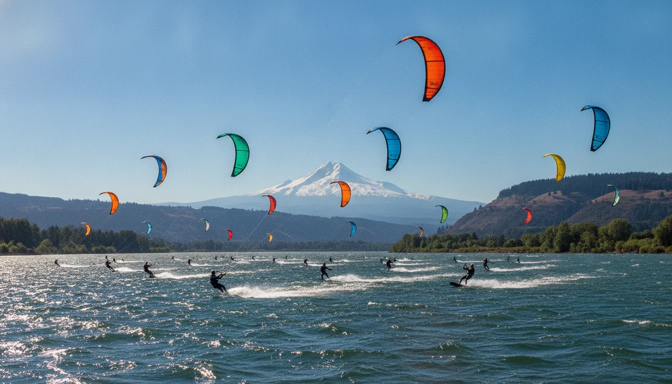
Hood River is the largest Gorge town and the hinge of the loop: the last full resupply before the mountain, the launch point for a valley of orchards and cideries, and — thanks to a quirk of geography — one of the best windsurfing venues on earth. It's also where the OR-35 leg south to Mt. Hood begins.
The Gorge is a natural wind tunnel — marine air pulled east through a sea-level gap against the prevailing westerlies — which is why Hood River bills itself the windsurfing and kiteboarding capital. The "over 20 knots on ~190 days a year" figure comes from a watersports blog, so treat it as promotional, not measured.
Port of Hood River access points: The Event Site (the main windsurf/kite/SUP launch), Nichols Basin (a protected cove for small non-motorised craft), and The Spit / Sandbar (kiteboarding and walking — the Port warns of variable current and depth).
The Hood River Fruit Loop is a ~35-mile self-guided scenic drive through the valley south of town — orchards, cideries, wineries, lavender and farm stands, with Mt. Hood as the backdrop. It's best mid-summer into fall for fruit, with lavender around July.
Between Hood River and Mosier, the Mosier Twin Tunnels — two 1920 basalt tunnels on the restored HCRH State Trail — are now a walk/bike segment, a good short leg-stretch off the driving loop.
⚠️ Pull the current Fruit Loop stop list from the official site (hoodriverfruitloop.com) before printing an itinerary — stands and hours change season to season, and we did not fetch it.
East of Mosier the Gorge dries out and opens up, and the horseshoe-loop viewpoint at Rowena Crest is the drone shot everyone knows. Below it, the Tom McCall Preserve is one of Oregon's great wildflower shows. There's just one problem for a summer trip: by summer, the show is over.
Rowena Crest is the horseshoe-loop viewpoint on the HCRH east of Mosier — the switchback everyone photographs — and the trailhead for the Tom McCall Preserve, managed by The Nature Conservancy. The bloom runs March through June, "most abundant in April and May," with peak typically late April to early May. Balsamroot's bright yellow blooms first, joined by lupine, camas, shooting stars and desert parsley across 300-plus plant species.
By mid-May the balsamroot is already "a little past peak." So if your trip is a July or August one — which most of this loop's traffic is — the marquee wildflower bloom is finished. Write Rowena into a summer itinerary as a viewpoint and a switchback photo, not a flower show. It's a genuine spring destination; treating it as a summer bloom sets up disappointment.
If flowers are the point of your trip, aim late April to early May and accept that it collides with the shoulder-season chill and the tail of the wet Gorge weather.
South of Hood River the loop climbs onto a glaciated volcano with a year-round ski area, a WPA landmark lodge, and a string of reflection lakes that are the reason people carry a tripod. Two things to internalise before you go: every status here is search-summary only (fs.usda.gov blocked us), and one famous trailhead is not where your old guidebook says.
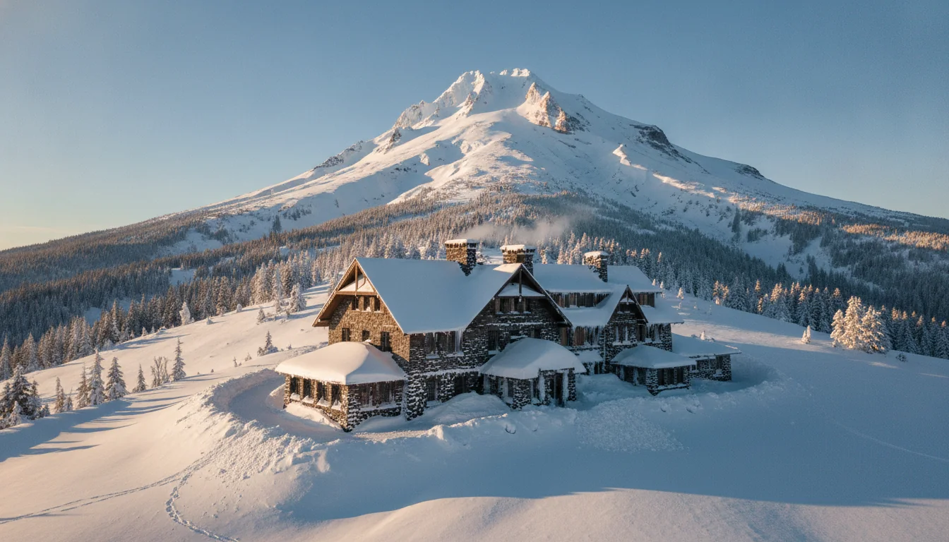
Built 1936–1938 by the WPA, dedicated 28 September 1937 by President Franklin D. Roosevelt; a National Historic Landmark, about 60 miles east of Portland on the mountain's south side at ~6,000 ft. It's free to walk in and tour the lobby and historic displays, and it's a year-round resort — reportedly the only ski area in North America open twelve months, thanks to summer glacier skiing.
⚠️ The exterior stood in for the Overlook Hotel in The Shining — a well-known bit of trivia, but verify the framing before leaning on it. Timberline status details are search-summary sourced (fs.usda.gov 403).
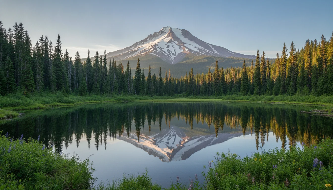
A ~2-mile flat loop around a 63-acre lake, with the classic Mt. Hood reflection from the dam / south end. Access is Trillium Lake Road just east of Government Camp off US-26 — about 1.5 miles of gravel down to the lake. Day-use fee $10.
⚠️ One search summary says the only pass accepted is the $30 Annual Northwest Forest Pass — confirm whether America the Beautiful is honoured (it usually is at NW Forest Pass sites) before you rely on your ATB. And the reported "calm-water photo window ~8–10 a.m." is blog-sourced, reasonable but not authoritative.

~25 miles southwest of Hood River via forest roads, open May through October 2026; another celebrated Mt. Hood reflection lake, best on calm mornings — fall gives "the clearest skies and calmest mornings for reflection photography."
🔴 It's privately operated, so a day-use fee per vehicle applies even though it sits inside the national forest, and access is via narrow, winding forest roads. We found no grade or surface spec — verify current road and rig suitability before you commit.
⚠️ The $43.76–$90.78 figures in search results are camping/lodging rates, not the day-use fee — don't confuse them.

On OR-35, about 25 miles south of Hood River (west side of the highway, ~¼ mile north of Sherwood CG), crossing the East Fork Hood River — a ~3.4-mile round trip to a broad curtain fall, and a natural leg-stretch on the Hood River → Mt. Hood side of the loop. A Recreation Pass is required year-round at the trailhead.
⚠️ December 2025 washout: "the trail has a temporary fix and the trail is open… watch for slides and loose rocks," with a large slide field near the falls requiring a rock scramble. Re-verify open status — this one took recent damage, and its status is search-summary only.
We tabulated nine campgrounds for this loop: seven Forest Service sites on Mt. Hood and two Oregon State Parks in the Gorge. If you want power, water and a dump, your options collapse to three. And every one of the Forest Service sites is under the campfire ban right now (§13).
| Campground | Operator | Hookups | Reserve? | Fee/night |
|---|---|---|---|---|
| Trillium Lake (FS) Mt Hood, ~3,600 ft | Mt Hood NF concessionaire | 🔴 None (has drinking water) | Reserve + some FCFS | $26 single / $50 double; +$8 extra vehicle; yurt $100 |
| Lost Lake Resort (FS/private) | Lost Lake Resort | ✅ Some water/sewer (partial-to-full, not all sites); RVs to 40 ft in D-loop | Reserve (6 mo out) | ⚠️ $43.76–$90.78 (secondary) |
| Timothy Lake – Hoodview (FS) | Mt Hood NF | 🔴 None | All reservable | ⚠️ see note |
| Timothy Lake – Gone Creek (FS) | Mt Hood NF | 🔴 None | Reserve | ⚠️ see note |
| Timothy Lake – Pine Point (FS) | Mt Hood NF | 🔴 None | Reserve | ⚠️ $17 (secondary) |
| Tollgate (FS, US-26 nr Rhododendron) | Mt Hood NF | 🔴 None | Reserve + some FCFS | ⚠️ $20 (secondary); season May 8 – Sept 30 2026 ⚠️ |
| Sherwood (FS, OR-35) | Mt Hood NF | 🔴 None | Reserve + some FCFS | ⚠️ $30; +$10 extra vehicle (secondary) |
| Ainsworth SP (Gorge) | Oregon State Parks | ✅ 40 FULL hookup (pull-throughs) + 6 walk-in tent | Reserve (6 mo out) +$8 | ⚠️ full-hookup ~$29 res / $36.25 non-res (secondary) |
| Viento SP (Gorge, W of Hood River) | Oregon State Parks | ✅ 56 water+electric (of 79) | Reserve (6 mo out) +$8 | ⚠️ hookup $24 (secondary) |
Verified against primary sources (Recreation.gov / Oregon State Parks): operator, hookup availability, reservation mechanism, and Trillium's fee ($26/$50), elevation (3,600 ft) and "no utility hookups." The Recreation.gov detail pages did not expose per-night fees or exact open/close dates for most Forest Service sites, so those cells are ⚠️ from secondary sources (Travel Oregon, MuddyCamper, Hikespeak) — confirm each at the moment of booking on Recreation.gov. Precise site counts fluctuate by season and loop, and only Lost Lake's "RVs up to 40 ft in D-loop" max-length figure surfaced — do not print a max length for Trillium, Timothy, Sherwood or Tollgate without checking each site's Recreation.gov "Details" tab.
Only three of the nine offer any hookups: Lost Lake (mixed partial-to-full, not all sites), Ainsworth SP (40 full-hookup), and Viento SP (56 water+electric). Ainsworth and Viento are your RV-with-hookups play in the Gorge.
All the classic Mt. Hood lake campgrounds — Trillium, Timothy, Sherwood, Tollgate — are dry camping, no hookups, though most have potable water. Plan the serviced nights in the Gorge and treat the mountain as dry.
🔴 The campfire ban (§13) is live at every Forest Service site above — no campfires, even in developed campgrounds, all summer and fall. Bring a propane setup.
And the Gorge wind (§09): the two state parks, Ainsworth and Viento, sit in the wind tunnel. Expect sustained near-daily westerlies Apr–Oct and secure or drop your awning. A serviced hookup doesn't help you if the wind takes the canopy off the side of the rig.
This is the fact most likely to change your camp cooking plan, and it's the one visitors most often don't know until they arrive. Mount Hood National Forest banned campfires forest-wide for the entire summer and fall travel window — and yes, that includes developed campgrounds.
This directly overrides the "campfire under the stars at Trillium Lake" imagery. Every Mt. Hood campground in this issue is fire-banned for the whole travel window — bring a propane cook setup and, if you want flame at camp, a propane fire pit with a valve.
Come November, a whole new set of rules switches on. Parking at the mountain trailheads needs a permit no other pass replaces, US-26 and OR-35 become true mountain passes with a chain law, and the chain rule treats a towed rig more strictly than a car. Timberline stays open all year, but getting there is a winter-driving problem.
Required 1 November – 30 April to park at any designated Sno-Park — which includes Timberline, Mt. Hood Skibowl, and many Gorge and Hood trailheads. Prices: Annual $25 / Three-day $9 / One-day $4. Sold at DMV field offices, DMV2U online (with a printable 14-day interim permit), and retail/resort agents.
Overnight camping is allowed in Mt. Hood Sno-Parks except Timberline Lodge, the Summit rest area, and Government Camp Loop.
⚠️ This is a standalone permit — the NW Forest Pass, America the Beautiful and the Oregon State Parks pass do not substitute for it.
Oregon's traction requirement can be posted on US-26 and OR-35 Nov–Apr. When conditions warrant, ODOT posts "carry chains or traction tires," and can escalate to chains required on all vehicles.
🔴 The trailer trap: traction tires may substitute for chains on vehicles ≤10,000 lb GVW not towing or being towed — so a trailer or loaded rig may be held to chains even when cars aren't. Studded tires are legal Nov 1 – Mar 31.
🔴 Chain status changes hourly — check TripCheck.com or call 511 before every winter Mt. Hood drive.
The loop has four service towns of very different capability, and the trap is treating the alpine village at Government Camp as a resupply stop. Fill up and stock up at the two big ones — Sandy on the US-26 side, Hood River on the Gorge and OR-35 side — and treat everything between them as thin.
Two transit lines actually connect the loop: Columbia Gorge Express (CAT) serves Cascade Locks / Hood River / The Dalles along I-84, and Mt. Hood Express serves Sandy / Government Camp / Timberline along US-26. Between them, a car-free version of much of this loop is genuinely possible.
Per our dataset rules we record town-level service notes only, not individual business names, addresses or phones. We could not verify specific fuel, dump-station or propane vendors in any gateway town from a primary source — the honest advice is to top off fuel in Sandy (US-26 side) or Hood River (Gorge / OR-35 side), the two largest towns, and treat specific vendors as unverified.
The Gorge and Mt. Hood have real, documented dangers that a trail difficulty rating won't tell you about: near-daily wind that flips awnings, a smoke season that can close in an August plan, and a cliff-fall pattern that kills people who leave the path for a photo. None is exotic. All are avoidable.
The Gorge is a natural wind tunnel — the pressure gradient between the wet west and dry east drives strong, near-daily westerlies Apr–Oct, peaking midday. Great for windsurfing, rough for high-profile rigs, awnings and rooftop tents. Expect sustained wind at the Gorge campgrounds and secure everything.
On the mountain, upper-elevation trails commonly stay snow-covered into May, sometimes later; reliable snow-free alpine hiking is late June – early September. Don't promise a snow-free high trail before late June without checking conditions.
PNW fire and smoke season runs roughly mid-July into early October. The Gorge has recorded 33-plus official unsafe-air days since 2013; the 2020 Labor Day fires brought record-hazardous air, and Cascade smoke can degrade air quality around Mt. Hood.
Actionable: for any August–September trip, check AirNow / OregonSmoke.org — PM2.5 is the hazard — and keep a hazy-day plan-B (indoor or lower-elevation) in your pocket. Smoke won't cancel a trip, but it should reshape a day.
Two honesty flags: we found no primary source attributing a specific Gorge death to a "selfie," so we don't print that framing — the verifiable pattern is off-trail falls. And glacier-fed rivers (Hood, Sandy, Zigzag) and mountain lakes run cold year-round; a general cold-water-shock caution is defensible, but we found no incident statistic to cite and won't invent one.
One table to match a walk to the day you've got. Where a figure is a Forest Service number it's search-summary only (their site blocked us); where a status is a 2026 closure we mark it; and where a stop needs a pass or a permit, the cell says which. Confirm every Forest Service status on the day.
| Objective | Distance | Effort | Access & 2026 status |
|---|---|---|---|
| Multnomah–Wahkeena loop | Loop | Moderate | I-84 lot needs the timed permit (§04); US-30 does not. The corridor's classic circuit |
| Latourell Falls | Short paved loop | Easy | 249-ft plunge, Guy W. Talbot SP. Now an Oregon State Parks fee site (Mar 30 2026) |
| Horsetail Falls | Roadside + trail | Easy | Permit-free on the HCRH; trail continues to Ponytail. 🔴 Stay on-trail — fatal off-trail falls here (§16) |
| Oneonta Trail #424 (Triple Falls) | Upper trail | Moderate | Open — the worthy substitute while lower Oneonta Gorge is closed (§07) |
| Oneonta Gorge (slot canyon) | Scramble | — | 🔴 CLOSED through July 7, 2026 unless rescinded (§07) |
| Eagle Creek Trail #440 | — | — | ⚠️ Reported reopened May 1 2026, UNCONFIRMED — check Ready Set GOrge day-of (§07) |
| Tom McCall Preserve (Rowena) | Plateau trails | Easy/moderate | Wildflowers peak late Apr–early May; a viewpoint, not a bloom, in summer (§10) |
| Mosier Twin Tunnels | HCRH State Trail segment | Easy | Walk/bike between Hood River and Mosier — two 1920 basalt tunnels (§09) |
| Trillium Lake loop | ~2-mile flat loop | Easy | 63-acre lake; day-use fee $10; ~1.5 mi gravel access. The postcard reflection (§11) |
| Mirror Lake | ~4.2 mi RT (656 ft) | Moderate | 🔴 Trailhead MOVED (2018) to Skibowl West. Rec Pass May 1–Oct 31; Sno-Park Nov 1–Apr 30 (§11) |
| Tamanawas Falls | ~3.4 mi RT | Moderate | OR-35, ~25 mi S of Hood River. ⚠️ Dec 2025 washout, temporary fix — re-verify. Rec Pass year-round (§11) |
| Lost Lake | Lakeshore | Easy | Privately operated, day-use fee per vehicle; narrow winding forest-road access, no grade spec (§11) |
Most of this is a normal Pacific Northwest loadout. What's different here is driven by four facts: there's a campfire ban you must cook around, a permit you must book ahead, near-daily wind at the Gorge camps, and a federal website that will be down when you try to check a closure — so carry the answers offline.
Built around the constraints rather than a wish list: where the permit applies, where the hookups are, what's closed, and the fact that the mountain is fire-banned all summer. Each shape names what you must book and what will ruin it.
Run it the night before. Tap each item as it's done — these are the twelve things specific to this loop that a general Pacific Northwest habit will skip.
Every guide has these. Most don't print them. This is the consolidated list of what we could not stand up, what we deliberately withheld, and where the numbers you'll see elsewhere come from — because on a loop where the managing agency's website blocked us, a confident wrong number costs more than an admitted gap.
Everything above, condensed into a print-ready PDF built for the glovebox — for a loop where a permit governs one lot and not the next, a fire ban covers a whole forest, and the most famous trails are still closed. The five pass systems and where each one applies, the Multnomah permit rules that everyone gets backwards, the campfire ban and what stays legal under it, nine campgrounds with honest fee caveats, the wind, the smoke, the cliff-fall hazard, every number that matters, and the honest list of what the Forest Service blocked us from confirming — on paper that works where the cell signal and the federal website don't.
Every Trekkr Trail Journal is built like this one: custom logistics, honest trail beta, the camping and access detail, kit lists and the local knowledge that turns a good trip into the one your crew talks about for years — including, always, a plain list of what we could not confirm. New destinations drop all season long; this is our first over the line into Oregon.
Unlock the Trail Journal Library