TREKKR.LIFE
Trail Journal No. 027 · Canmore & the Bow Valley · Alberta
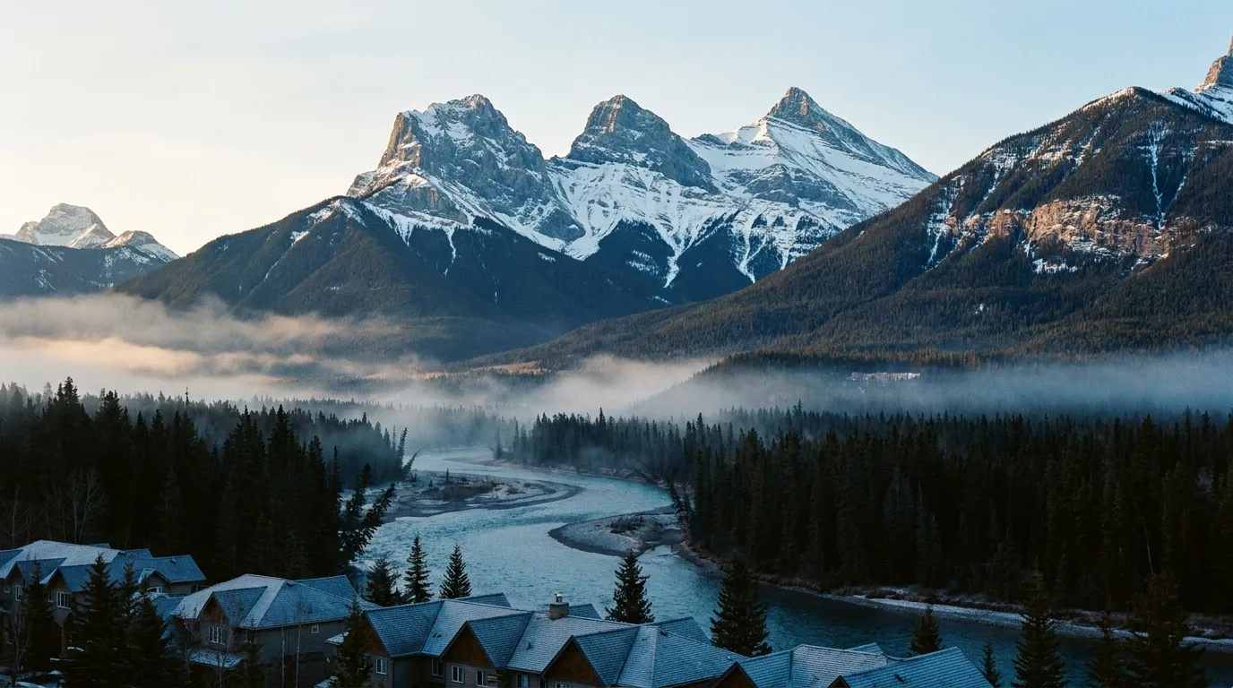
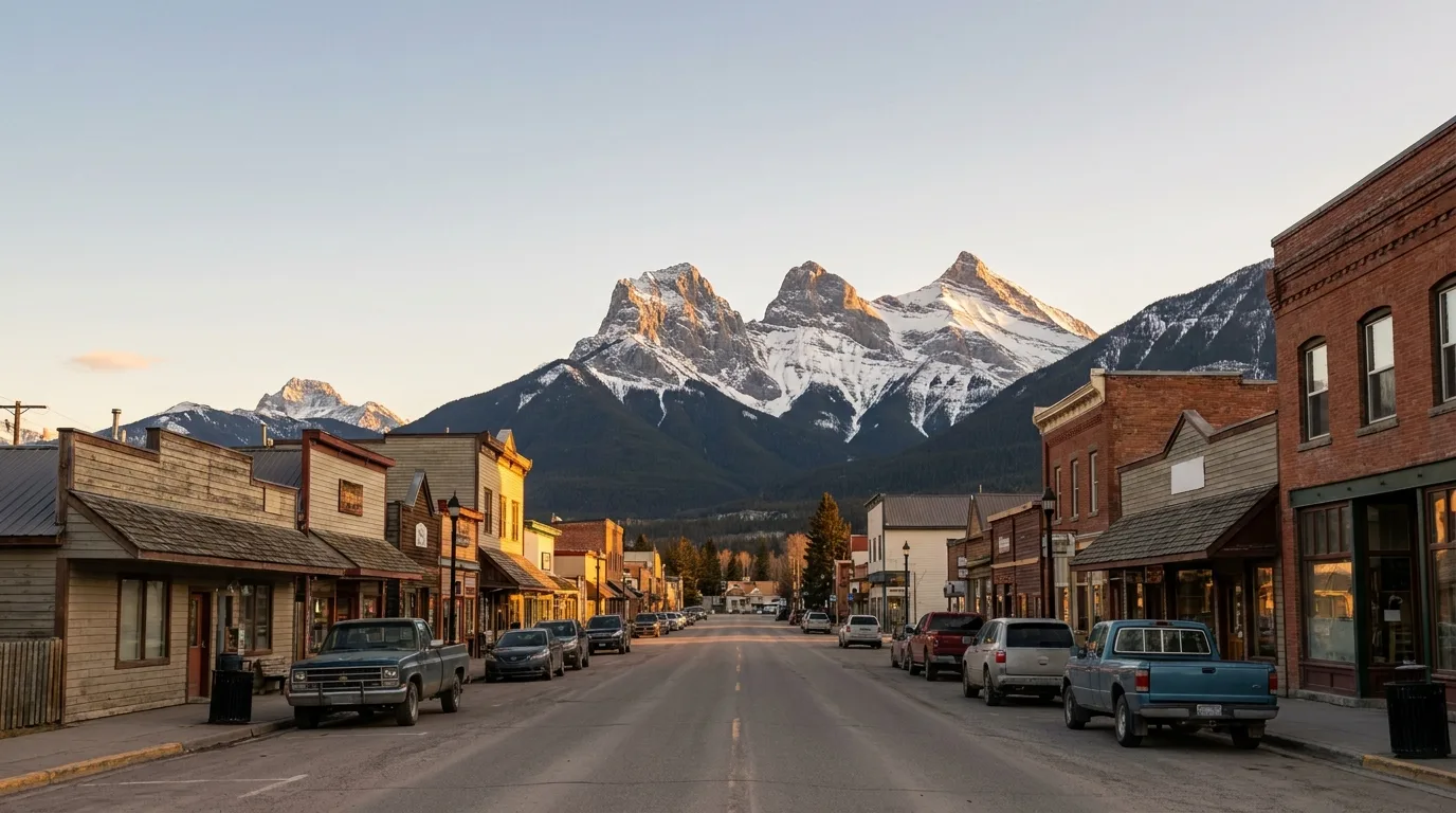
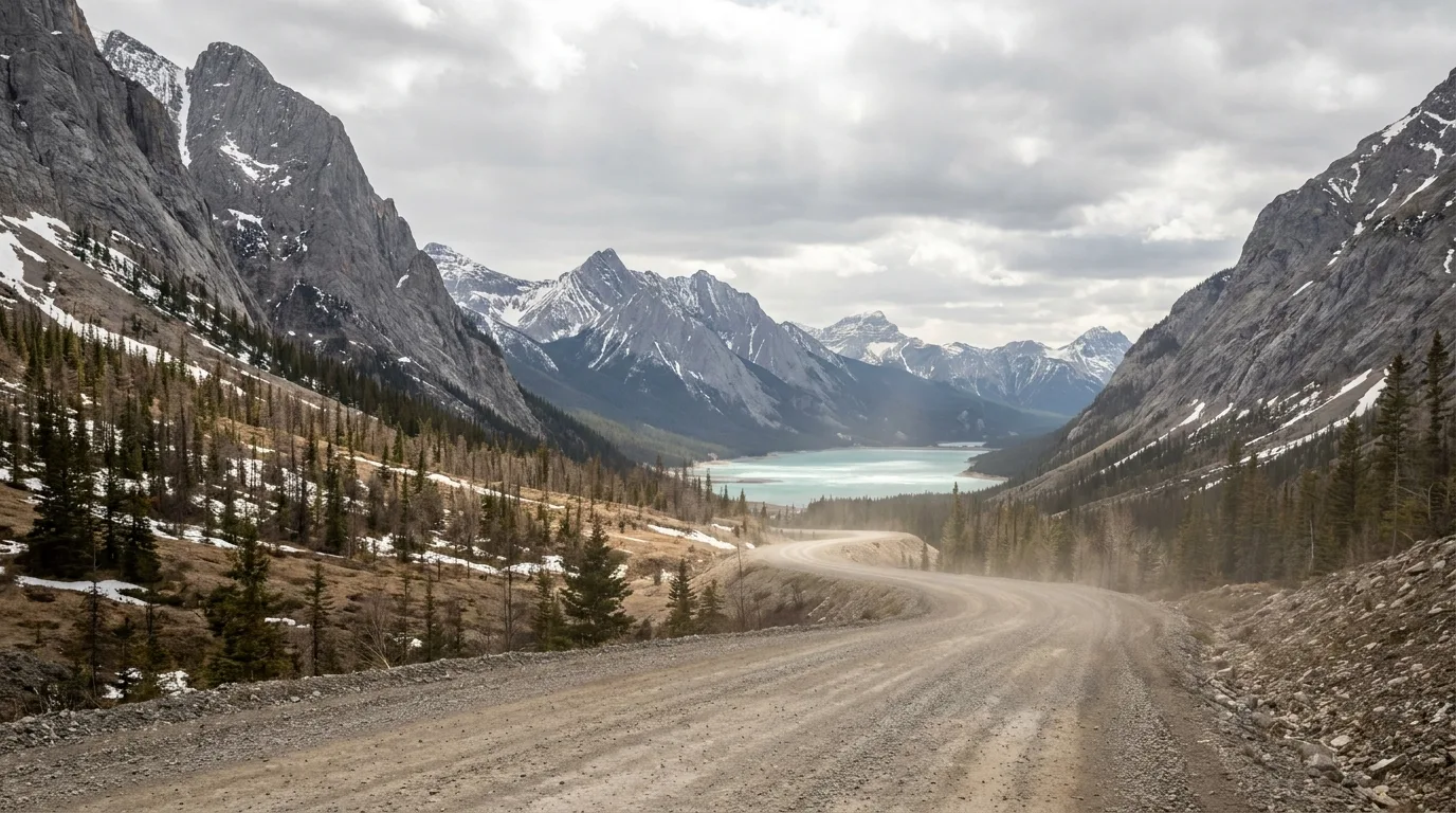
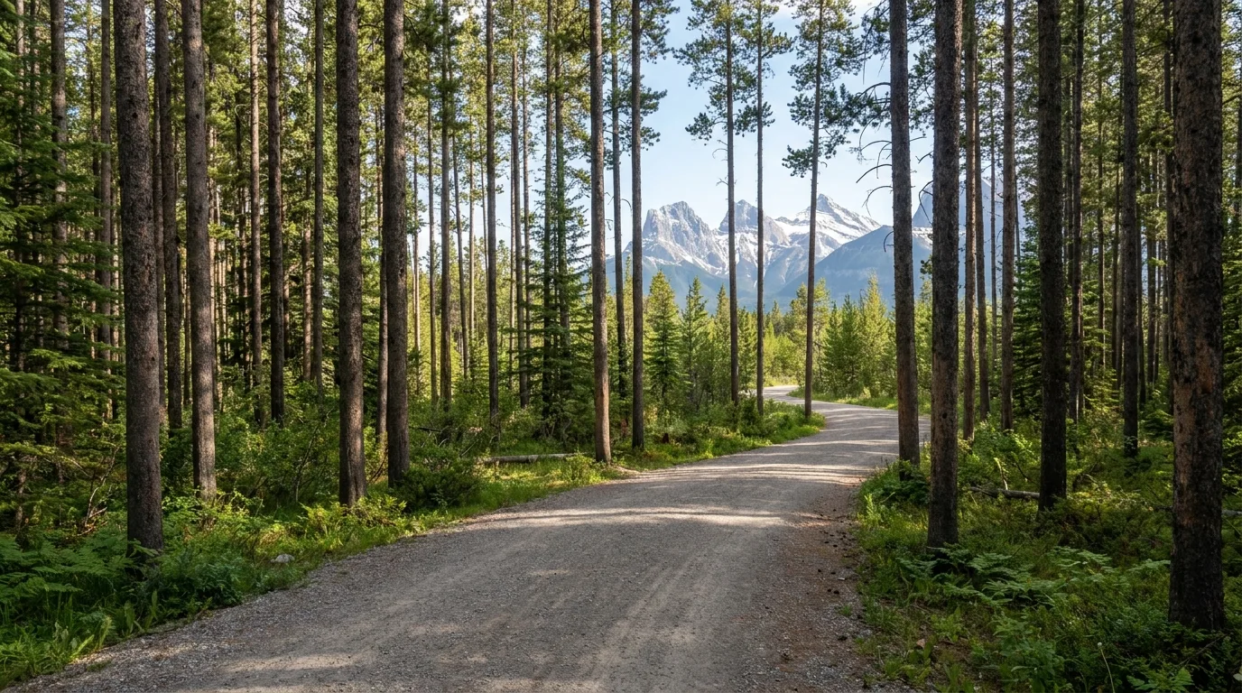
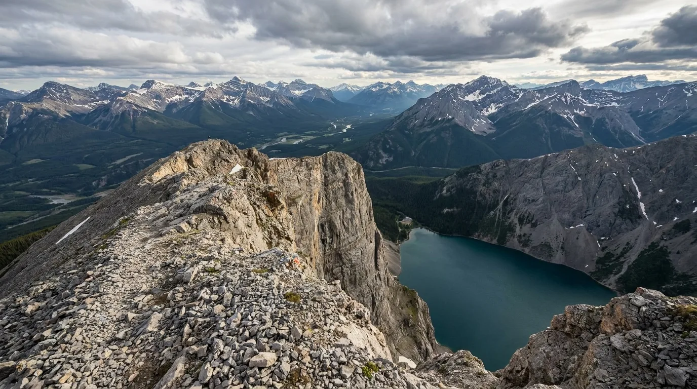
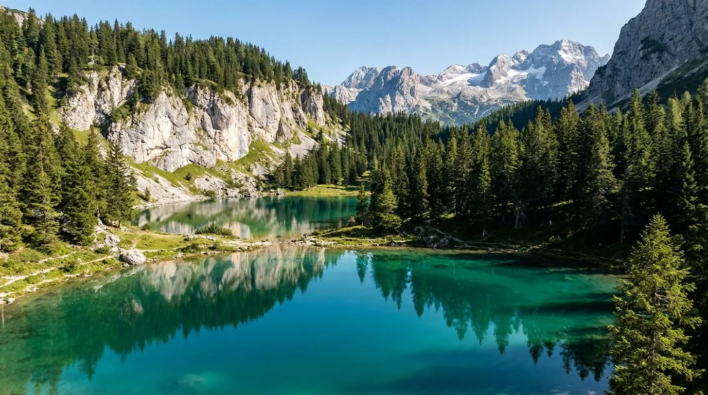
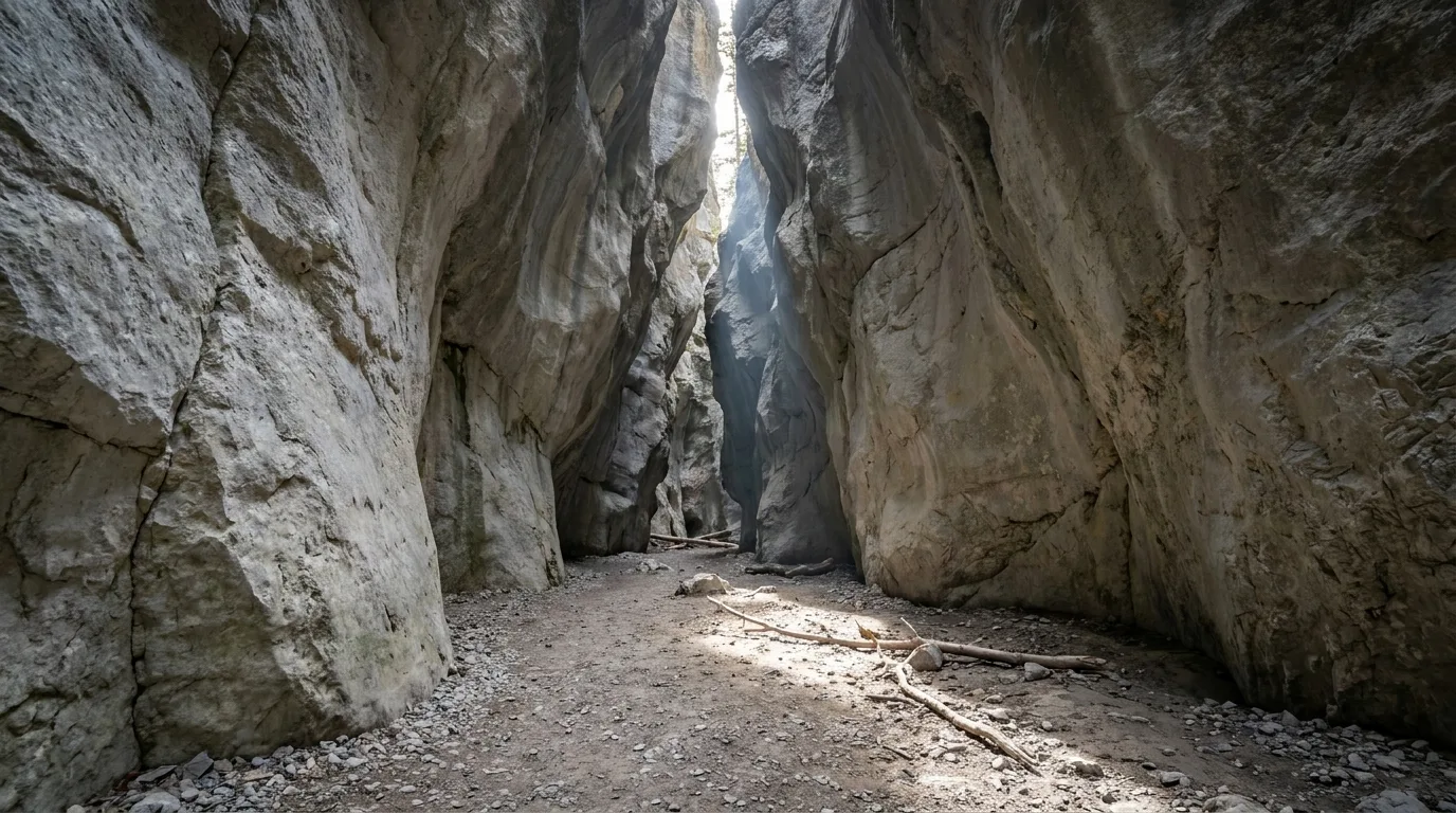
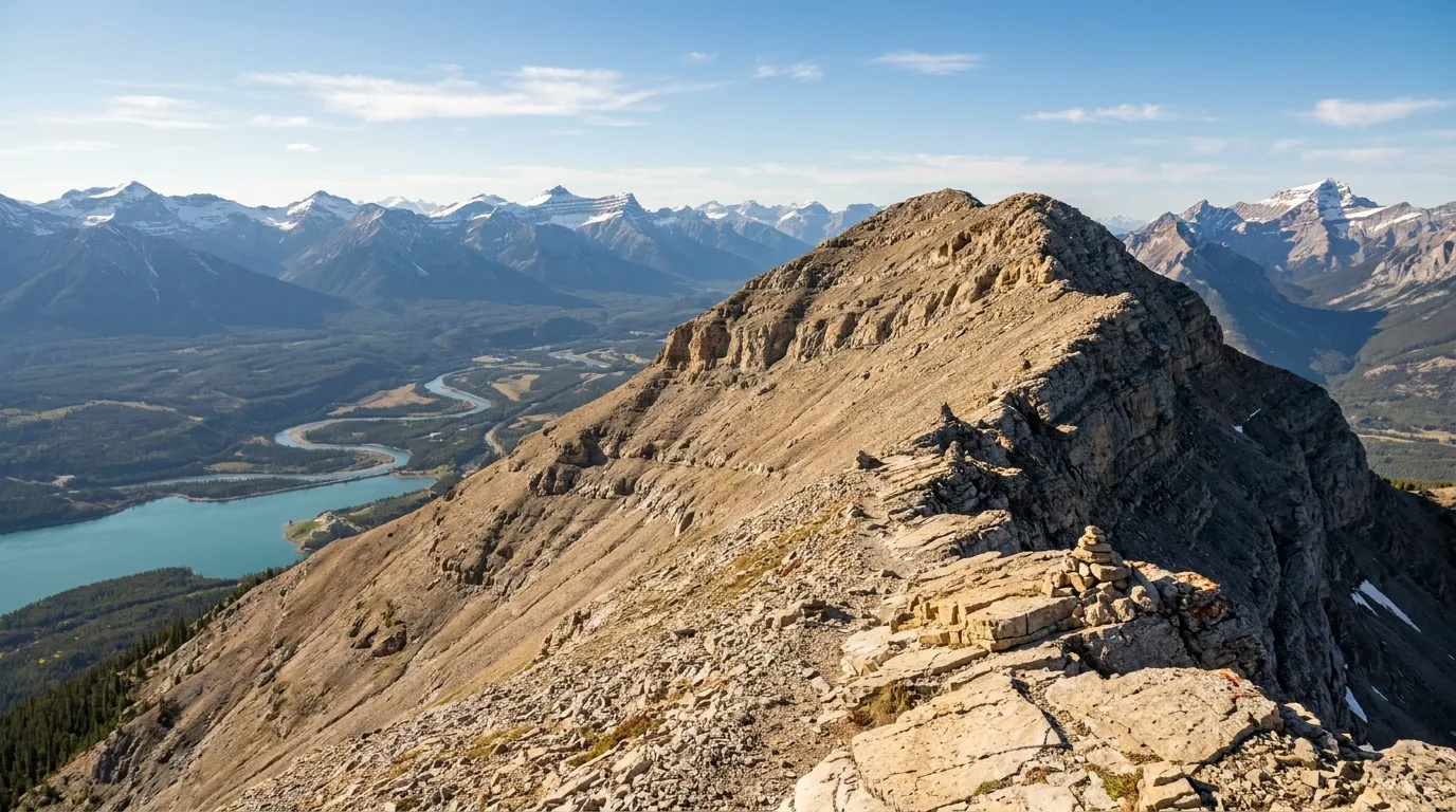
A field guide for planning — not a substitute for current maps, posted signs, Alberta Parks and Kananaskis Country regulations, Parks Canada rules or personal judgment. Most of the marquee hikes here (Ha Ling, East End of Rundle, Grassi Lakes, Grotto Canyon, Heart Mountain, the Canmore Nordic Centre and Spray Lakes West) sit inside Kananaskis Country, where a Kananaskis Conservation Pass is required for any parked vehicle — $15/day or $90/year in 2026, plate-enforced by camera, with no retroactive purchase and a fine of roughly $150 for non-compliance; it is a provincial parking pass and does not cover Banff National Park, which is a separate Parks Canada pass. Quarry Lake and Cougar Creek are on Town of Canmore land and are exempt from the K-Country pass but carry their own Town parking rules. The June 28–29 2026 Kananaskis flood dropped 170+ mm of rain in about 24 hours, triggered a local state of emergency, and closed trails, day-use areas and campgrounds; at our press date Highway 742 had a closure posted at Canmore Hill and Three Sisters Campground was reported closed — those closures are a dated advisory that changes weekly, so re-check albertaparks.ca/advisories and 511 Alberta the day before you travel. Several hikes named here (Ha Ling's summit above Whitemans Pond, East End of Rundle, Heart Mountain, Mount Lady Macdonald's summit ridge and Grotto Mountain) involve real scrambling and exposure with fatal-fall history — know the difference between the trail and the scramble, do not scramble on wet or snowy rock, and turn around at your comfort limit. This is grizzly and black bear country with active 2026 warnings; carry bear spray you know how to use, make noise, travel in groups, obey closures, and report wildlife to Kananaskis Dispatch at 403-591-7755. Grotto Canyon and Cougar Creek are narrow flood channels that rise fast — never enter in rain or high run-off. Where sources were undated, contradictory or simply silent, we said so in place and consolidated every instance in the "What we could not confirm" section: trail distances and gains vary by source and are printed as ranges rather than surveyed figures; campground site counts, seasons and demand-based Alberta Parks fees are operator/Alberta Parks figures where confirmed and flagged where not, and no single fixed nightly price is published; private RV parks near Canmore are noted but not named or priced; and fire and wildlife warnings are seasonal snapshots linked to their live sources. There is no fuel on Highway 742 and cell service drops off quickly up the Smith-Dorrien and behind the peaks — fuel up and download offline maps in Canmore first. Glacier-fed lakes (Quarry, Grassi) are shockingly cold; afternoon storms build fast on exposed ridges and snow lingers up high into summer. Fees, hours, closures and road and fire status change without notice; conditions noted were verified 19 July 2026 and will go stale — the live sources listed are the truth on the day you travel. The images in this issue are ultrarealistic photographs in the series style, not photographs of the exact named viewpoints. Verify all conditions, fees, reservations, passes and services before travel. © Trekkr Life.