There is no gate, no booth and no entrance fee. You turn off US 250 at Rockfish Gap, pass a low stone wall, and 469 miles of two-lane begins — a road that will not let you drive faster than 45 mph and does not particularly want you to. Commercial traffic is banned, billboards do not exist, and you navigate the whole thing by milepost. The catch is that the Parkway is a facility, not a utility: no fuel, no hookups, no roadside camping, 26 tunnels that gate out tall rigs, and sections that close for ice, fog and rockslide without much notice.
The rest of this journal is evergreen; this box is not. The Parkway has no entrance fee and no reservation to drive it — but it gates shut in sections without much notice (§02), it has 26 tunnels with published edge clearances that decide whether your rig can finish the road (§03), and it carries no fuel, no hookups and no legal roadside camping anywhere along its 469 miles (§02, §07). Everything below is dated to the day we checked it. Trust the live sources, not our date stamp.
When Stanley Abbott laid this out in the 1930s as the Parkway's first resident landscape architect, he was not building a highway between two points; he was building a way of moving through a landscape. Commercial traffic is banned. Billboards do not exist. The road bends when the ridge bends, and every few miles it opens onto one of more than 200 formal overlooks where the Appalachians fall away in blue, receding layers. It runs from Shenandoah National Park at Rockfish Gap, Virginia, to the doorstep of Great Smoky Mountains National Park at Cherokee, North Carolina — America's longest linear park, and free to drive from end to end.
469 miles of two-lane with no fee, no trucks and no billboards, more than 200 overlooks, 176 bridges, over 369 miles of trail, and a 5,000-foot elevation swing you can use to chase bloom uphill in June and colour downhill in October (§04, §05, §09).
26 tunnels with published edge clearances bottoming out at 11'7". Under 11 feet you run the whole road; over 13 feet you will be detouring off it repeatedly through the Pisgah section. Measure your rig loaded (§03).
It is a facility, not a utility. No fuel. No hookups. No roadside camping. Sections gate shut for ice, fog and rockfall, and since Helene a stretch of the NC high country is closed outright. You plan around the closure map, not the map (§02, §07).
Here is what first-timers get wrong: they treat the Parkway like a highway with services. It isn't. There is no fuel on it at all, cell coverage is patchy to absent for long stretches, GPS routinely fails, and every facility, trailhead and overlook is addressed by a concrete milepost rather than a street address. Sort out your access towns, adopt a half-tank rule, screenshot the closure map before each leg, and the road becomes easy.
Carrier-specific coverage is unverified — we say “patchy to absent” and name no carriers.
| Town | State | Near MP | Highway link |
|---|---|---|---|
| Waynesboro | VA | 0 | I-64 / US 250 at Rockfish Gap — the northern trailhead town |
| Lexington / Buena Vista | VA | 45 | US 60 |
| Bedford | VA | 86 | VA 43 to Peaks of Otter |
| Roanoke | VA | 112–121 | US 220 / I-581 — the largest city on the Virginia section |
| Floyd | VA | 165 | VA 8 |
| Galax | VA | 215 | US 58 / VA 89 |
| Sparta / Roaring Gap | NC | 229–239 | US 21 |
| Boone / Blowing Rock | NC | 291–295 | US 321 / US 221 — the High Country resupply |
| Linville / Banner Elk | NC | 305–316 | US 221 |
| Spruce Pine / Little Switzerland | NC | 331–334 | NC 226 |
| Asheville | NC | 382–393 | I-40 / US 25 / US 74A — the biggest full-service stop on the road |
| Brevard | NC | 412 | US 276 |
| Waynesville / Maggie Valley | NC | 443–455 | US 74 / US 19 |
| Cherokee | NC | 469 | US 441 — the southern terminus, into Great Smoky Mountains NP |
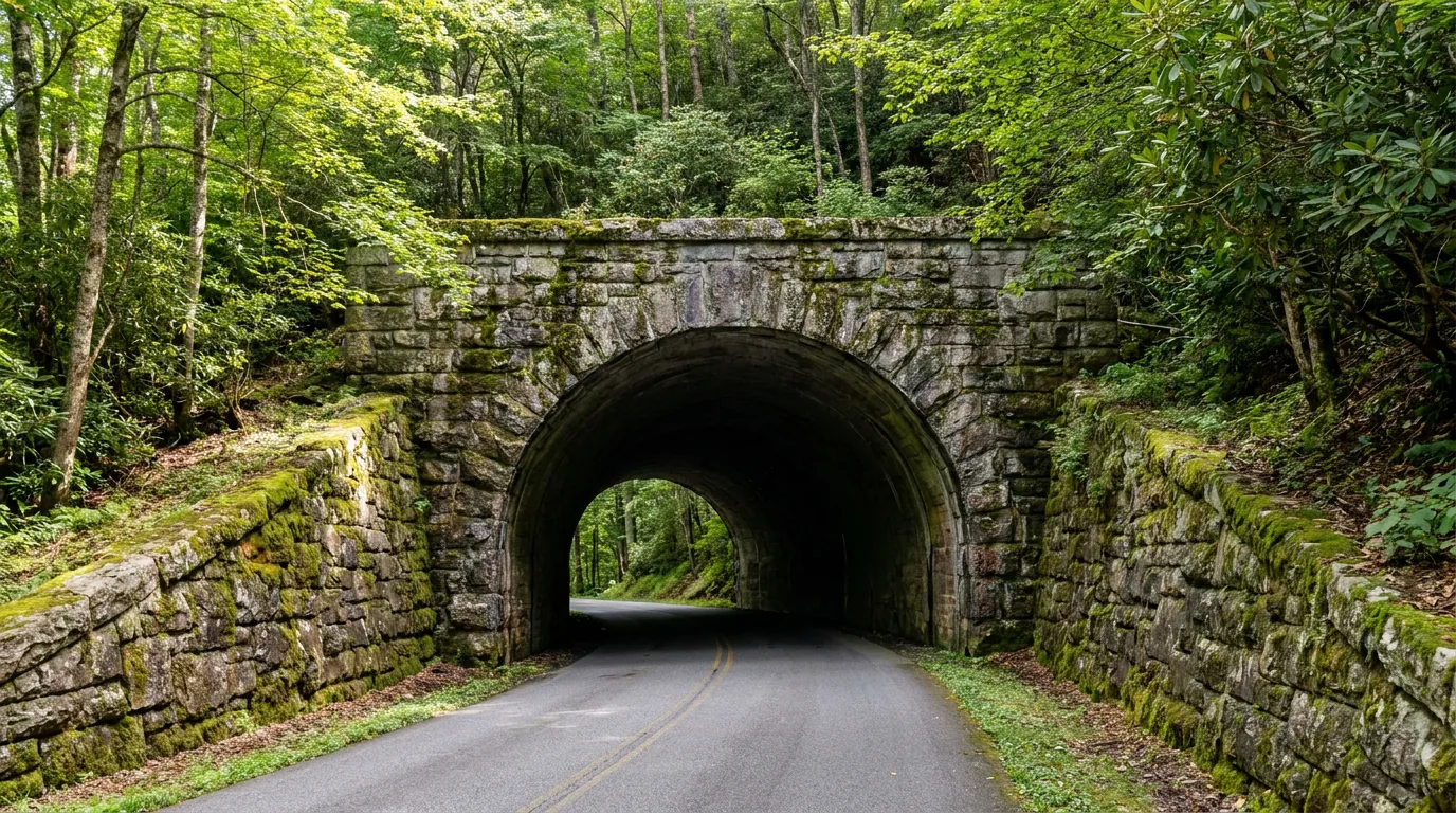
This is the section that decides whether you can drive the whole road. There are 26 tunnels — one in Virginia and 25 in North Carolina, which NPS notes are “mostly south of Asheville.” Every one publishes two heights: a centre clearance and an edge clearance. The centre number only helps if you can straddle the crown of the road, which you usually can't and shouldn't. Use the edge number. The governing figure for the entire Parkway is 11'7" edge at Big Witch, MP 461.2 — and it sits in the last 15 miles before Cherokee, which is exactly where an unprepared driver finds it.
The number on the spec sheet is not your number. Measure the rig as you actually travel it — roof-mounted A/C, roof box, antennas, awning rails, solar, a kayak on the bars — and then add margin for suspension load and road crown.
Then remember the geometry: tunnel arches curve. The published edge clearance applies at the edge; a wide rig sitting further out in the lane gets less than the stated number. If you are close, you are not close — you are over.
A Virginia-only trip is effectively tunnel-free for any normal rig: the state has exactly one tunnel, Bluff Mountain at MP 53.1, with a 13'1" edge.
| MP | Tunnel | State | Edge clearance | Centre clearance |
|---|---|---|---|---|
| 53.1 | Bluff Mountain the only Virginia tunnel | VA | 13'1" | 18'6" |
| 333.1 | Little Switzerland | NC | 14'3" | 19'2" |
| 336.8 | Wildacres | NC | 13'5" | 19'1" |
| 344.5 | Twin Tunnel (North) | NC | 13'10" | 19'0" |
| 344.7 | Twin Tunnel (South) | NC | 14'6" | 18'11" |
| 349.0 | Rough Ridge | NC | 13'8" | 18'11" |
| 364.4 | Craggy Pinnacle low point of the northern NC run | NC | 13'0" | 18'10" |
| 365.5 | Craggy Flats | NC | 14'4" | 18'7" |
| 374.4 | Tanbark Ridge | NC | 14'3" | 19'1" |
| 397.1 | Grassy Knob | NC | 14'3" | 18'6" |
| 399.1 | Pine Mountain | NC | 14'3" | 18'8" |
| 400.9 | Ferrin Knob #1 | NC | 13'6" | 18'8" |
| 401.3 | Ferrin Knob #2 | NC | 13'9" | 18'8" |
| 401.5 | Ferrin Knob #3 | NC | 13'10" | 18'10" |
| 403.0 | Young Pisgah Ridge | NC | 14'2" | 18'10" |
| 404.0 | Fork Mountain | NC | 14'2" | 18'7" |
| 406.9 | Little Pisgah Ridge | NC | 13'4" | 18'9" |
| 407.3 | Buck Spring | NC | 13'2" | 18'5" |
| 410.1 | Frying Pan | NC | 13'6" | 19'0" |
| 422.1 | Devil's Courthouse | NC | 14'2" | 18'8" |
| 439.7 | Pinnacle Ridge | NC | 13'7" | 18'7" |
| 458.8 | Lickstone Ridge 2nd lowest on the Parkway | NC | 11'8" | 17'7" |
| 459.3 | Bunches Bald | NC | 12'3" | 18'0" |
| 461.2 | Big Witch LOWEST on the entire Parkway | NC | 11'7" | 18'0" |
| 465.6 | Rattlesnake Mountain | NC | 14'8" | 19'3" |
| 466.2 | Sherrill Cove | NC | 13'11" | 19'1" |
Heights as published by NPS. Edge is the operational number — centre clearance only applies on the crown of the road, which you cannot legally or safely occupy. The two governing tunnels, Lickstone Ridge (MP 458.8, 11'8") and Big Witch (MP 461.2, 11'7"), are both in the final 15 miles into Cherokee — plan the exit before you get there, not when you see the sign.
Unless stated otherwise, everything on the Parkway itself is free — there is no entrance fee anywhere on the road. The only paid items in this section are Grandfather Mountain (private, non-profit) and the Sharp Top shuttle at Peaks of Otter. Stops run south-bound by milepost, which is how you will actually encounter them. Several currently sit inside closure zones — those are flagged in place, and the live map is the arbiter.
| MP | Stop | Fee | What's there |
|---|---|---|---|
| 5.8 | Humpback Rocks | Free | Visitor centre and museum plus a reconstructed 1890s mountain farm (cabin, chicken coop, root cellar, barn), open daily 10–5 in summer. A short but genuinely steep hike to rock outcrops with big valley views; 3 trails plus Appalachian Trail access; 91-site picnic area. About 12 miles from Waynesboro |
| 60.8–63.6 | James River & Otter Creek | Free | The lowest point on the entire Parkway — 649 ft. James River Visitor Center and restored canal locks. Bridge rehabilitation at MP 63.5–63.9 has been causing a partial closure — check the map |
| 85.6 | Peaks of Otter / Sharp Top | Free; shuttle paid | Three summits — Flat Top (the highest), Sharp Top and Harkening Hill — around 24-acre Abbott Lake (1-mile loop trail), named for Stanley Abbott. The Sharp Top shuttle runs May to early November to within 1,500 ft of the summit: $12 adult / $6 child one-way, $15 / $7 round-trip. Lodge, restaurant and camp store on site |
| 120.4 | Roanoke Mountain Picnic Area | Free | This is NOT a campground. It closed to overnight camping in 2013 and is now day-use only — roughly five dozen picnic sites with tables and grills. NPS has also listed “Roanoke Mountain Loop closed until further notice” — verify before routing |
| 167 | Rocky Knob | Free | Visitor centre (at MP 169 — not the same pin as the campground at MP 167.1), campground, Rock Castle Gorge. The Rocky Knob Cabins are closed |
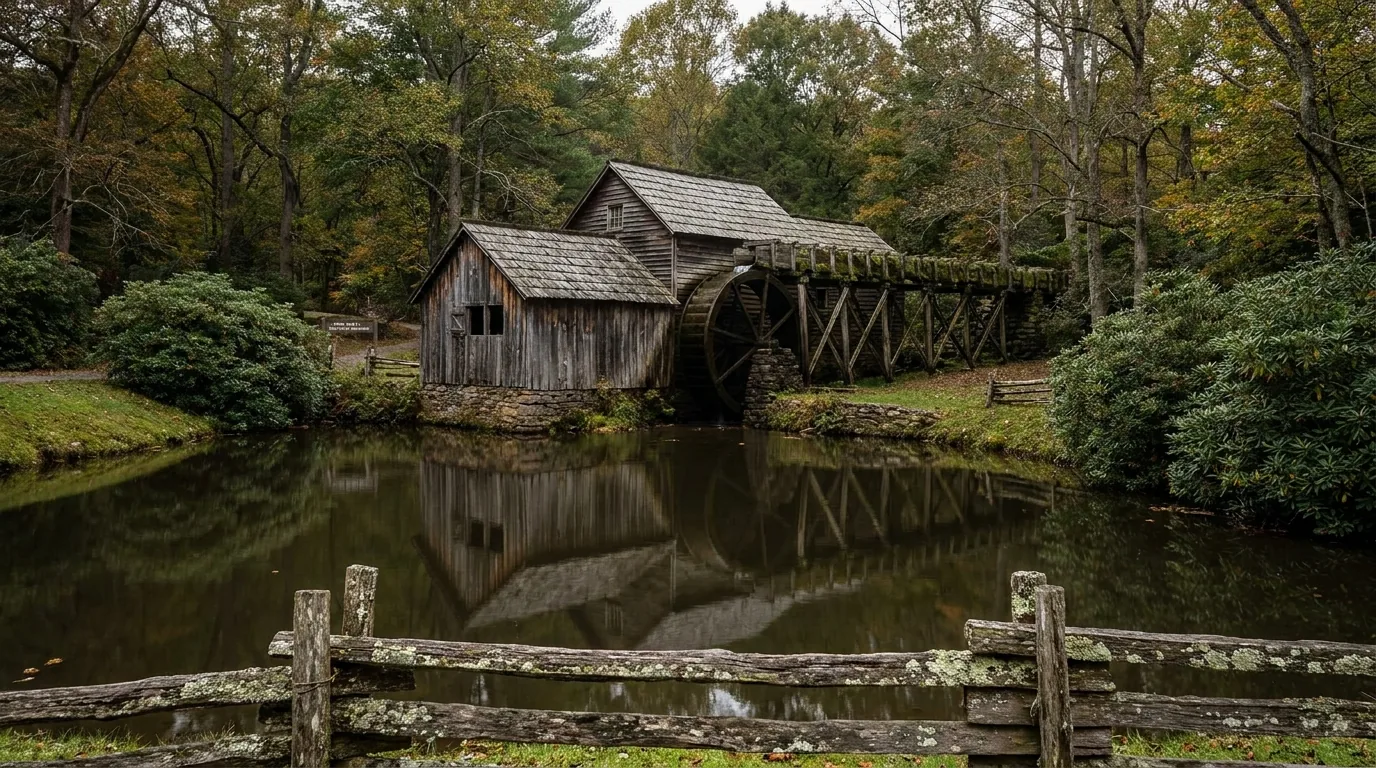
| 176 | Mabry Mill | Free | The Parkway's signature photograph. Blacksmith shop, Matthew's Cabin, a 0.5-mile trail, weekend cultural demonstrations in summer and early fall, and Sunday afternoon music and dancing |
| 213 | Blue Ridge Music Center | Free | An NPS facility near Galax with the Roots of American Music Museum — admission free. Visitor centre open May–Oct, 10–5 (Thu–Sun in early May, daily from Memorial Day weekend), plus free Midday Mountain Music 12–3 daily and an outdoor amphitheatre for ticketed evening concerts. Part of The Crooked Road, Virginia's heritage music trail |

Three summits stand around 24-acre Abbott Lake, named for the Parkway's first resident landscape architect: Flat Top (the highest), Sharp Top (the famous one) and Harkening Hill. The 1-mile lake loop is the easy walk; Sharp Top is the climb.
If you don't want the full ascent, the Sharp Top shuttle (May to early November) drops you within 1,500 feet of the summit — $12 adult / $6 child one-way, $15 / $7 round-trip. Lodge, restaurant and camp store are all here, and the campground is a short way on at MP 85.9.
| MP | Stop | Fee | What's there |
|---|---|---|---|
| 239 | Doughton Park | Free | The largest recreation area on the Parkway, with an extensive trail network dropping into Basin Cove. Visitor centre at MP 238; campground at MP 239.2. Bluffs Lodge is closed |
| 294 | Moses H. Cone Memorial Park | Free | Flat Top Manor and 25 miles of carriage roads, plus a Southern Highland Craft Guild centre in the manor. NOTE: MP 294–296.9 has been CLOSED (Helene) — verify on the map |
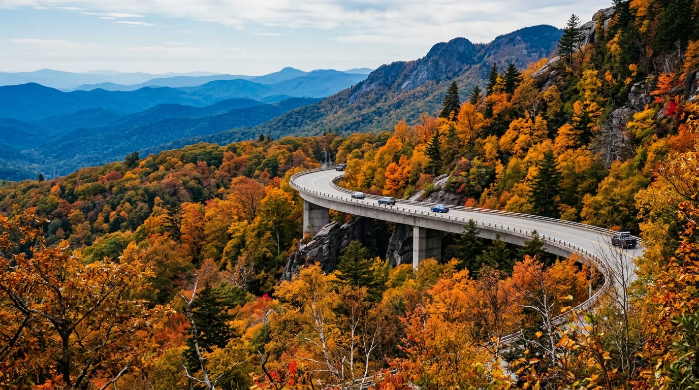
| 304 | Linn Cove Viaduct | Free | The Parkway's signature engineering piece: 1,234 ft long, 153 pre-cast concrete segments, completed 1982 and opened 1987 — the last section of the Parkway to be finished. It won 8 national design awards and is the most photographed of the road's 176 bridges. The Tanawha Trail (13.5 miles; Cherokee for “fabulous hawk/eagle”) runs beneath it. The Linn Cove Visitor Center has been temporarily closed and MP 302.8–304.4 affected by construction — verify |
| 305 via US 221 | Grandfather Mountain | PAID — private | Owned and operated by the Grandfather Mountain Stewardship Foundation. Mile High Swinging Bridge, wildlife habitats, naturalist programs. Tiered 2026 pricing: Base $25 adult / $23 senior 60+ / $13 child 3–12; Mid $30/$28/$13; Peak $35/$33/$13; under 4 free. AAA, senior and military discounts are online only. Book in advance. Adjoins the separate, free Grandfather Mountain State Park |
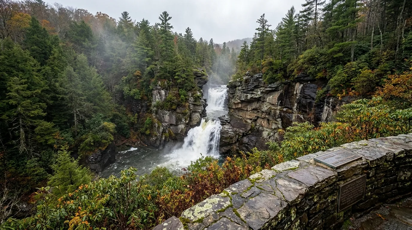
| 316.4 | Linville Falls & Linville Gorge | Free | Multiple viewpoint trails of increasing effort down to the falls; the gorge is one of the deepest in the eastern US. The campground and picnic area are closed |
| 339.5 | Crabtree Falls | Free | A 70-ft cascade on a roughly 3-mile round-trip woodland loop. The campground is closed for 2026. Not to be confused with the unrelated Crabtree Falls in Nelson County, Virginia |
| 355.4 via NC 128 | Mount Mitchell State Park | Free day use | 6,684 ft — the highest point east of the Mississippi River. Summit observation deck, 40 miles of trails, Fraser fir forest. Park hours are seasonal (7am–6pm winter, 7am–10pm summer); gift shop Thu–Mon 10–5, restaurant Thu–Sun 11–4, concession daily 11–4. NO GAS STATIONS between Asheville and the park — top up first |
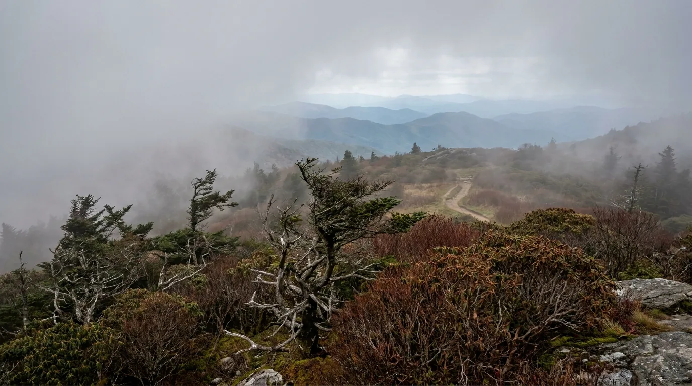
| 364 | Craggy Gardens | Free | Heath balds famous for Catawba rhododendron bloom in late spring / early June. NPS's own description is “gnarled, twisted trees, fog, and wind.” Craggy Pinnacle Trail is about 20 minutes to a 360° summit; Mountains-to-Sea Trail access, seasonal visitor centre and picnic area. A big sunrise/sunset spot — bring layers, it drops fast after dark |
| 382 | Folk Art Center | Free | Home of the Southern Highland Craft Guild: Allanstand Craft Shop, galleries over two floors, a craft library and auditorium, and daily craft demonstrations in season. Also a Parkway information desk, an America's National Parks Store and a passport stamp cancellation station. Open year-round — hours are set by the Guild, so check their site. No food or lodging on site; Mountains-to-Sea Trail passes nearby |
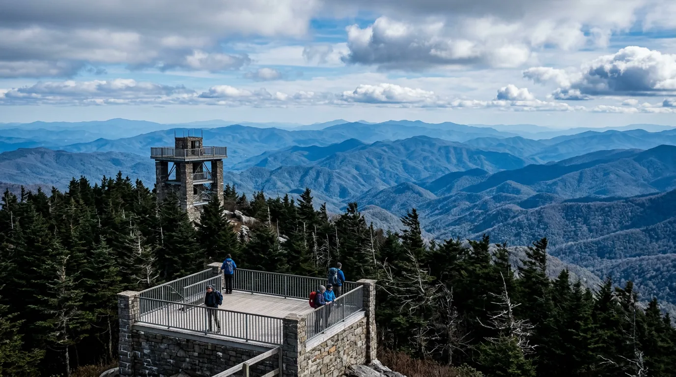
| 408.6 | Mount Pisgah | Free | Pisgah Inn, campground, camp store, and the Mount Pisgah Trail to the summit tower. High, cool and often in cloud |
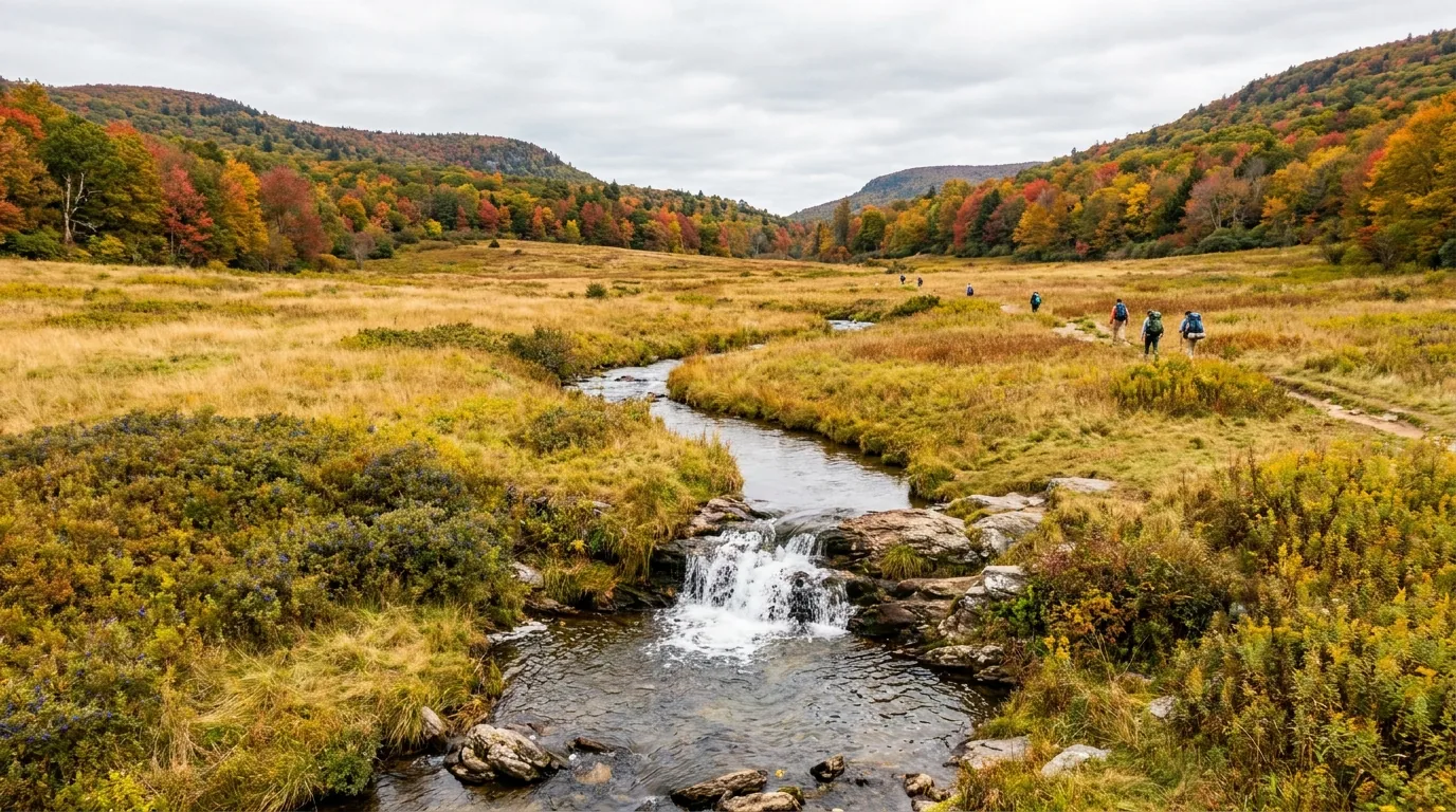
| 418.8 | Graveyard Fields | Free | Rolling open meadows, forest and two waterfalls. Typically shows the earliest and most brilliant fall colour on the Parkway — around the first week of October. Extremely popular; the lot fills early |
| 422.4 | Devil's Courthouse | Free | A short but steep paved trail to a dramatic bare-rock summit with a huge multi-state view. The tunnel at MP 422.1 sits just before it |
| 451.2 | Waterrock Knob | Free | Widely called the best sunrise and sunset viewpoint on the entire Parkway, and the highest visitor centre on the road. A steep short trail runs to the summit |

Reached from MP 355.4 via NC 128, Mount Mitchell is the highest point east of the Mississippi River — a summit observation deck, 40 miles of trails and a Fraser fir forest that feels transplanted from Canada. Day use is free.
Two practical notes. First, there are no gas stations between Asheville and the park — NPS says so specifically. Second, the camping here is 9 walk-in, tent-only backpack sites with bear-proof storage boxes and pit toilets, no showers — it is not an RV option at all (§07).
Mount Mitchell sits inside the Helene closure stretch — if the Parkway is still gated, reach it via NC 80 from Marion instead. Verify.
NPS is explicit on the point that trips people up: “No permit is required for hiking” on the Parkway. The dedicated hiking page gives over 369 miles of trails (a “learn” page elsewhere says 300 — we use the dedicated page's figure). Both the Appalachian Trail and the Mountains-to-Sea Trail run closely alongside sections of the road and can be used as day sections or multi-day routes. What the Parkway does not give you is a shortcut on effort: everything worth walking here climbs.
The Park Service's own advice is to allow roughly an hour per 1.5 miles, and that “five miles round-trip is a good maximum distance for novices.” On a road where most trails start high, climb hard and end in fog, that pacing is not padding.
The short trails are short but steep — Humpback Rocks (MP 5.8) and Devil's Courthouse (MP 422.4) are both described by NPS as short but steep, and both end on exposed rock.
Current closure: the Mountains-to-Sea Trail near the I-26 bridge in Asheville has been closed until late spring / early summer 2026 for construction safety — verify.
That is the headline number, and it comes straight from NPS: rangers respond to roughly 200 accidents a year on the Parkway, and about half involve serious injury. This is not a dangerous road because of traffic volume — it is a road designed in the 1930s for slow sightseeing, with narrow shoulders, limited sight distance and curves that tighten while you are already in them. Add fog, deer and a lot of motorcycles, and the posted limit stops looking like a suggestion.
NPS's own line is the best summary: “Enjoy the view, but watch the road.” Use the 200-plus overlooks; do not sightsee at the wheel.
All consumables AND scented items must be secured in a vehicle or solid camping unit. Lockers are provided at some sites. Bears frequent Julian Price and the North Carolina high country generally.
Scented items means what it says: toiletries, sunscreen, dish soap, toothpaste. Cook and store away from tents, secure trash, and never feed wildlife. Mount Mitchell State Park's walk-in sites include bear-proof storage containers — use them.
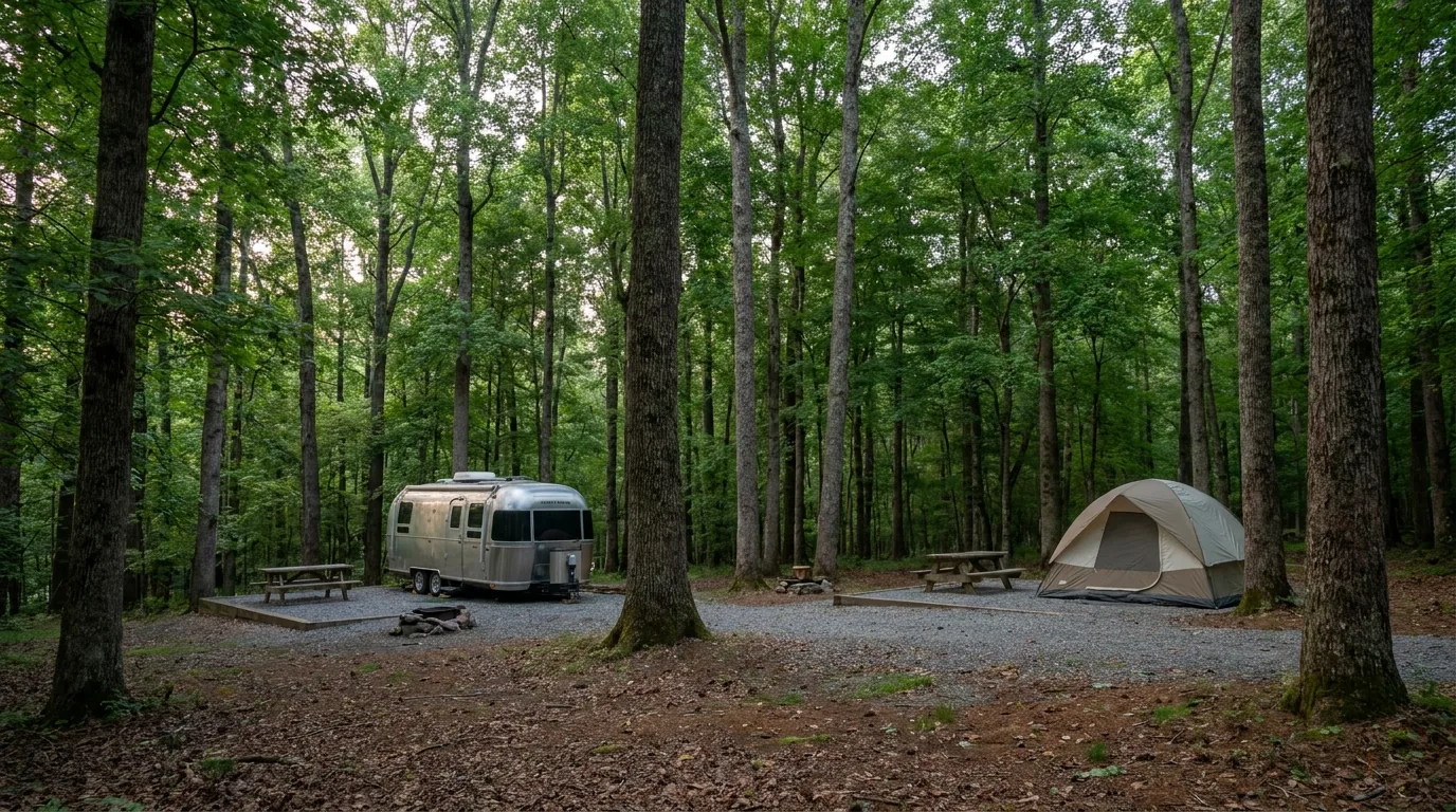
Start with the fact that reshapes every RV plan: no Parkway campground has hookups of any kind — no electric, no water, no sewer, at any of the eight. All eight do have potable water, flush toilets, sinks, dump stations, picnic tables and fire rings. Standard sites are $30/night ($45 for the Rocky Knob group site), with a $6 fee for non-campers using a shower or dump station. Reservations run through recreation.gov or 1-877-444-6777, bookable up to 6 months ahead. And for 2026, two of the eight are closed.
| Campground | MP / state | Sites | Showers | Notes |
|---|---|---|---|---|
| Otter Creek | 60.8 · VA | 45 tent + 24 trailer (~69) | No | Lowest point on the entire Parkway, 649 ft. Sites line Otter Creek; flush toilets, drinking water, dump station, grills, tables, lantern posts. Otter Creek Restaurant is closed. Rec.gov ID 251534 |
| Peaks of Otter | 85.9 · VA | ~139 (60 reservable + 79 FCFS), 3 loops | No | Effectively tent-only — only about 4 sites take small RVs or self-contained vehicles. Do not route a motorhome here. Camp store on site; lodge and restaurant within walking distance. Rec.gov ID 233403 |
| Rocky Knob | 167.1 · VA | 106 (25 tent-only, 27 RV-only, no ADA sites) + 1 group site for 12–20 | No | 50 first-come + 56 reservable. $30 standard / $45 group. Dump station. Rocky Knob Cabins are closed. Note the visitor centre is at MP 169, not here |
| Doughton Park | 239.2 · NC | 110 tent + about 25 RV | No | The largest recreation area on the Parkway. 5 loop roads, 4 comfort stations, amphitheatre, dump station. Bluffs Lodge is closed. Rec.gov ID 233369. Sources differ on 24 vs 25 RV sites — treat the split as approximate |
| Julian Price | 297.0 · NC | 190 total across loops A–F historically (75 reservable + 115 FCFS); 2026 = Loop A only, reservation-only | Normally yes — closed 2026 | Loop C is tent-only. Canoe rental and fishing dock at Price Lake. Dump station. Bears frequent this campground (§06). Rec.gov ID 234037 |
| Linville Falls | 316.4 · NC | 50 tent + 20 RV (70) | No | CLOSED for 2026. The picnic area is closed too; the falls trails themselves are open |
| Crabtree Falls | 339.5 · NC | Sources genuinely conflict — we publish no number (§13) | No | CLOSED for 2026. Loop A is RV (roughly 30 ft max), Loop B is tents. Dump station |
| Mount Pisgah | 408.6–408.8 · NC | 70 tent + 70 RV (~140), loops A–D; rec.gov shows 130+ bookable | Yes — Loops B & C | The only reliable Parkway showers, and the only working ones in 2026. Highest-elevation Parkway campground; country store; dump station. Fills every weekend and holiday — reserve. Rec.gov ID 234182 |
RV length limits are per-site, not per-campground. Recreation.gov lists a max vehicle length on every individual site — at Julian Price these range from about 21 ft on some sites to 74–79 ft on a few Loop E pull-throughs, with Loop F around 27 ft and many standard sites 23 ft. Filter by rig length on Recreation.gov rather than trusting any campground-level number, including ours.
These matter more here than in most guides, because no Parkway campground has hookups and all of them close in late October. Every one below is a real operator with its own official site.
| Campground | Operator | Near MP | Why it matters |
|---|---|---|---|
| Lake Powhatan Recreation Area | USDA Forest Service (Pisgah NF) | ~393 (Asheville) | 97 campsites: 4 water+electric, 18 full-hookup, 12 glamping, 7 ADA. Open year-round. Flush toilets, hot showers, RV dump station, swim beach, fishing pier. Rec.gov ID 231995. The best big-rig base on the corridor and the only sensible winter option |
| Stone Mountain State Park | NC State Parks | ~229 (via US 21) | B Loop has 41 sites with electric (20/30/50 amp) and water; A Loop 37 tent-only; C Loop 10 no-hookup. Bathhouse with hot showers. A genuine hookup option near Doughton Park |
| Fairy Stone State Park | Virginia State Parks | ~167 (Rocky Knob area) | 50+ sites. The electric/water loop has gravelled pull-throughs to 50 ft, 20/30/50 amp — pit toilets in that loop, dump station on site; the equestrian camp also has electric/water. The big-rig fallback for the Virginia plateau section. That loop is open and unshaded and intended for self-contained units, not tents |
| Mount Mitchell State Park | NC State Parks | ~355.4 (via NC 128) | 9 walk-in tent-only backpack sites — not an RV option at all. 10x10 tent pad, table, grill, bear-proof storage box, up to 6 people. Potable water and pit toilets, NO showers. Season 1 May – 31 Oct; reserve via ReserveAmerica up to 6 months out |
Private RV parks near Boone/Blowing Rock, Asheville and Waynesboro, and Davidson River Campground (USFS, Brevard), were not researched for this issue and are deliberately not asserted here — see §13.
Since the Parkway itself carries no fuel, no hookups and only two camp stores, the corridor towns are your logistics. Everything below is a real, currently-trading business whose own website we resolved — no phone numbers and no email addresses were collected at any point, so none can appear here. Seasons, hours, menus and prices change, so we link rather than quote, and we confirmed no operator pricing.
Note for readers with older guidebooks: Rockfish Gap Outfitters in Waynesboro — the big AT-hiker anchor at MP 0 — is CLOSED. Frugal Backpacker (Asheville) has gone online-only; Second Gear occupies its old Westgate space.
Shuttles are the thinnest category on this road — most corridor shuttling is arranged informally between individuals rather than by websited businesses. Roanoke County runs a public McAfee Knob shuttle, but that is a government service, not a business.
Maggie Valley has no listing in this issue — the only strong candidate's operating status could not be confirmed. Waynesville, 10 minutes away, covers that segment instead.
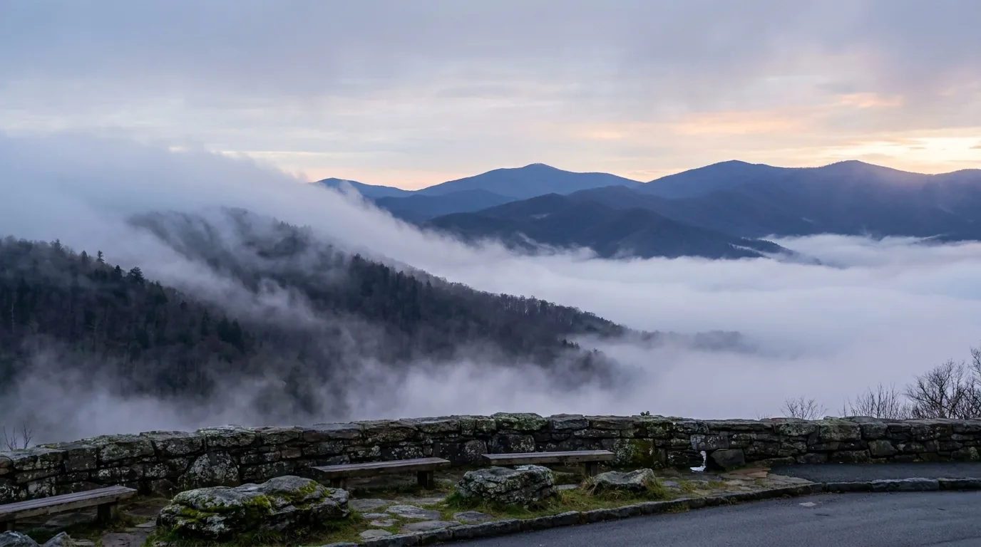
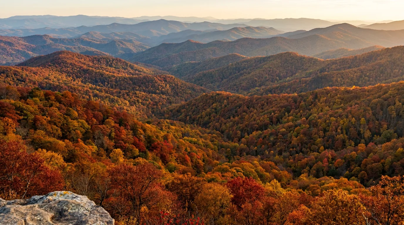
The Parkway climbs from 649 feet at the James River to over 6,000 feet below Mount Pisgah, and that 5,000-foot swing is the whole timing strategy. It means bloom moves uphill through spring and colour moves downhill through autumn, so you can hold peak for weeks by moving vertically instead of waiting. It also means the temperature at MP 364 has essentially nothing to do with the temperature in Asheville, and that fog is a year-round condition rather than a seasonal one.
NPS's own position, and the one this guide repeats rather than improving on: exact peak dates are impossible to predict in advance, because too many variables are involved. Anyone selling you a date is guessing.
The best colour comes when days are bright, sunny and cool, nights are cool but not freezing, and rainfall has been good. Warm wet cloudy weather, or an early freeze, dulls it.
Traffic discipline for October: be at any famous trailhead by 8am on a weekend or travel midweek; book campgrounds the day reservations open (10 January for the 2026 season) because October weekends go instantly; and fuel more often than you think — October means slow traffic, more idling and more detours.

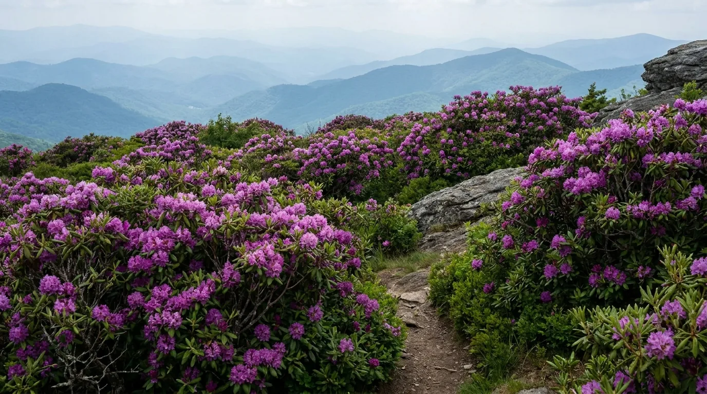
The one well-documented bloom event on the Parkway is Catawba rhododendron at Craggy Gardens, a dense heath bald at 5,640 ft whose June display is the road's best-known spring target. Mountain laurel and flame azalea also feature in the late-spring sequence.
But we will not give you fixed dates for those. Precise Parkway-wide bloom windows for species other than the Craggy rhododendron are unverified — they vary hugely by elevation and by year, and no authoritative source publishes them. The honest instruction is the same as for autumn: move vertically. Bloom climbs; you climb with it.
Five workable shapes, not the only ones. Standing caveat on every one of them: roughly 35–40 miles of the North Carolina Parkway (about MP 317.5–355.3, Linville Gorge to Mount Mitchell) remained closed from Hurricane Helene as of mid-2026, with a stated target of full reopening by the end of 2026. Two of the eight campgrounds are shut for the season and Julian Price is Loop A only, reservation-only, with no showers. Re-check every itinerary below against the NPS closure map before departure.
Run it before you leave. Tap each item as it's done — these are the ten things specific to the Blue Ridge Parkway that a general road-trip habit will skip. Almost all of them come back to one fact: the road supplies nothing. Not fuel, not power, not water hookups, not a legal place to sleep outside eight campgrounds, and not a guarantee that the next 40 miles are open.
Every guide has these; most don't print them. On a road where closures change weekly, campground seasons are re-announced yearly and NPS itself publishes two different numbers for the same thing on two different pages, plenty of figures need a same-season check. Everything below was compiled 24 July 2026 and should be re-checked against the linked official source before you rely on it.
Everything above, condensed into a print-ready PDF built for the glovebox — for a road with no fuel on it, no signal for long stretches, and 26 arches that decide whether you finish. All 469 miles by milepost, the full 26-tunnel edge-clearance table and the height decision tree, the eight campgrounds with 2026 fees and the two that are shut, the no-hookup and no-roadside-camping rules, the Helene detours, the stops from Humpback Rocks to Waterrock Knob, the fall-colour strategy, the driving and campground regulations, the corridor towns and outfitters, and the honest list of what nobody could confirm — on paper that works where the bars don't.
Every Trekkr Trail Journal is built like this one: custom logistics, honest trail beta, the camping and access detail, and the local knowledge that turns a good trip into the one your crew talks about for years — including, always, a plain list of what we could not confirm. New destinations drop all season long, from the southern Appalachians to the Canadian Shield to the Desert Southwest.
Unlock the Trail Journal Library