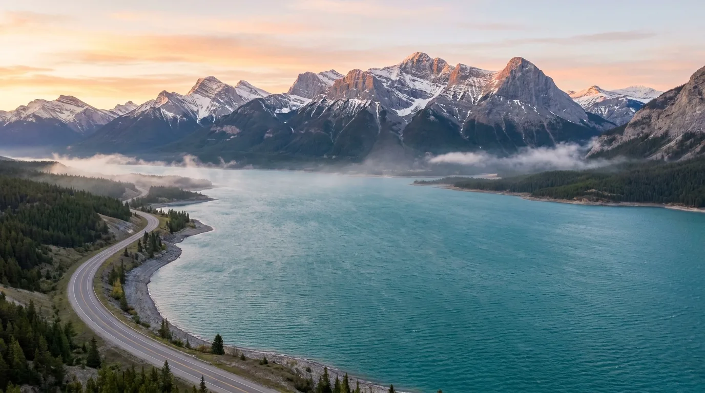
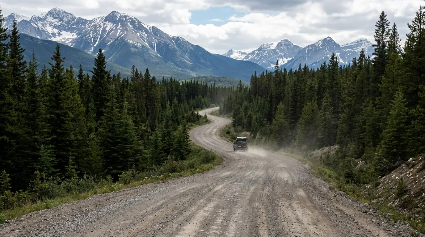
An hour past Rocky Mountain House the traffic thins, the pavement narrows, and Hwy 11 tips you into a different Alberta: the same limestone front ranges that make Banff famous, but without the parking lots, the pass fees, or the tour buses. The deal is simple — buy a $30 Public Lands Camping Pass, drive down a gravel road, and camp free under peaks that would cost you a permit lottery on the other side of the Divide. The catch, and it's the whole point, is that nobody's coming to save you: no cell bars, no camp store west of Nordegg, gravel that floods out.
The rest of this journal is evergreen; this box is not. Nothing in the Bighorn is staffed daily, fire bans switch on and off through the summer, Hwy 734 can flood out, and campground fees and pass prices reset year to year. Everything below is dated to the day we checked it. Trust the live sources, not our date stamp — and verify all conditions within 72 hours of departure.
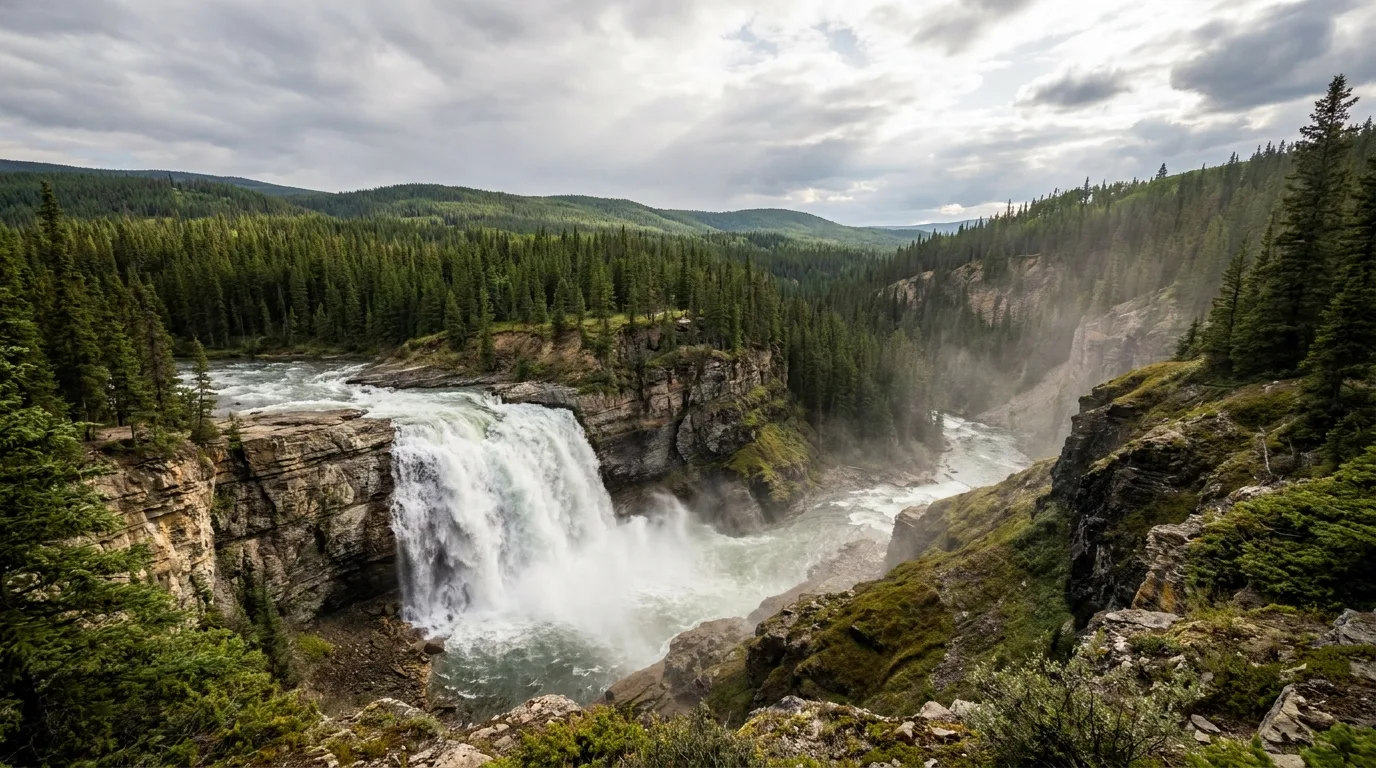
This is the Bighorn Backcountry — a working, public landscape of grasslands, gorges and reservoir-teal water where the falls are as good as Banff's, the sheep and elk are out on the Kootenay Plains, and the campsite you want is usually still open on a Friday afternoon. Locals come here precisely because it isn't Banff. The whole appeal, and the whole risk, is the same fact: it's remote, and it's on you.
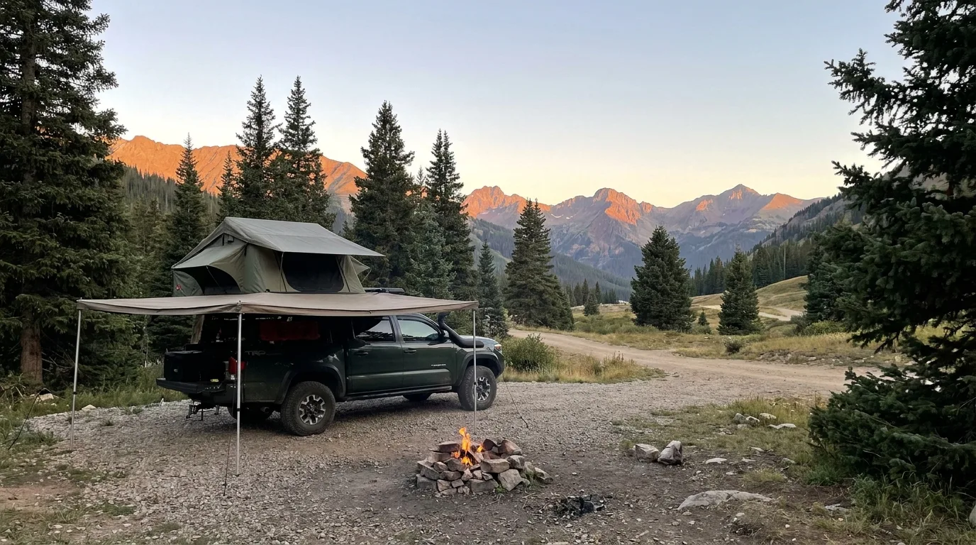
Outside the fee campgrounds, most of the Bighorn is open to free random camping on Crown land — the reason locals load the truck and skip the Divide. The land is free; you only pay the $30/yr Public Lands Camping Pass. No services, no toilets, no water: pit-toilet-and-shovel country.
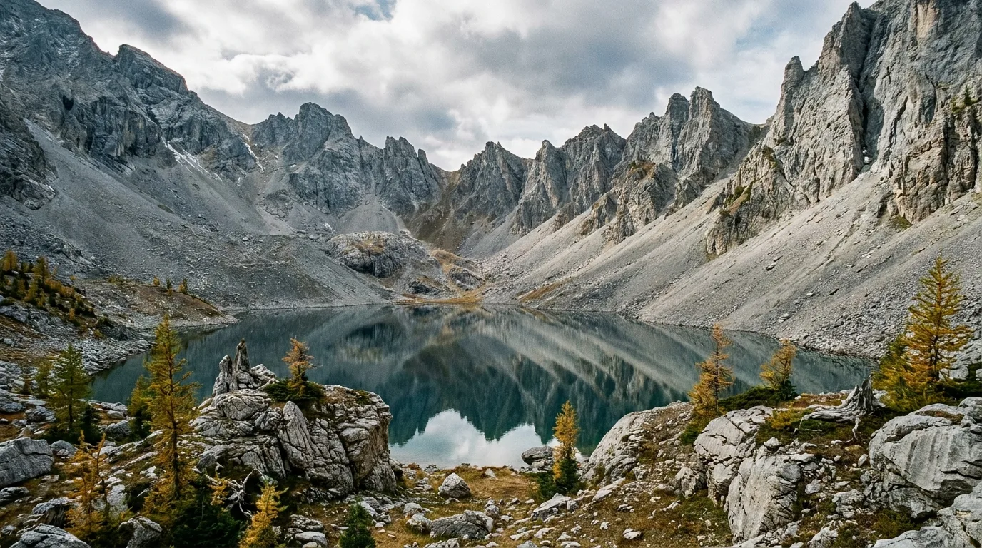
The same limestone that draws millions to Banff runs right up this corridor — but there's no park entry gate, no reservation lottery, no permit fee to camp under it. You trade the infrastructure for the freedom, and for people who love it, that trade is the point.
The catch is the whole feature: no cell bars, no camp store west of Nordegg, gravel that floods out. That's the trade this country asks. Full self-sufficiency — water, fuel, recovery gear, a satellite messenger — isn't optional here, it's the price of admission (§07).
Highway 11 is the paved spine: two-lane, plowed, scenic the whole way from Rocky Mountain House through Nordegg to a dead end at Saskatchewan River Crossing inside Banff. Highway 734 is the rough gravel axis south. They share one non-negotiable rule — fill up in Nordegg, because once you leave town the services stop.
| Along Hwy 11 from Nordegg (west) | Distance | What's there |
|---|---|---|
| Crescent Falls turnoff | ~22 km | Then ~6 km north on gravel to the falls & PRA (§03) |
| Abraham Lake / Preacher's Point | ~40 km | Teal reservoir, informal camping, Siffleur staging nearby |
| Two O'Clock Creek (Kootenay Plains) | ~67 km | Fee campground; no cell, no debit |
| Thompson Creek PRA | ~83 km | Fee campground near the Banff boundary |
| Saskatchewan River Crossing | ~90 km | Summer-only gas/store/restaurant — pricey (in Banff) |
⚠️ These corridor distances are mapping / community consensus, not an official gazetteer — treat them as orientation, not navigation. Southbound, Hwy 734 runs ~65 km of gravel from Nordegg to Ram Falls (Alberta Parks), and intersects Hwys 579, 584, 591, 752 and 11, so it can be run as a long gravel through-route rather than just an out-and-back.

The public land flanking this corridor is the Bighorn Backcountry, subdivided into six Public Land Use Zones — named zones in official material include Job/Cline, Kiska/Willson, Upper Clearwater/Ram and Blackstone/Wapiabi. ⚠️ Alberta's own overview page doesn't enumerate all six in one clean list; the full zone map lives in the Bighorn Backcountry PLUZ map PDF — carry it.
Random-camping rules inside the PLUZ / eastern slopes:
With a handful of exceptions these trails have no official Alberta Parks distance or gain sheet, so the figures below are the best available and are labelled by source — community, AllTrails, or blog. Where crowdsourced numbers conflict badly, both are shown. Treat all times as fit-hiker moving times, and note the ones with unbridged creek crossings that swell dangerously in snowmelt or rain.
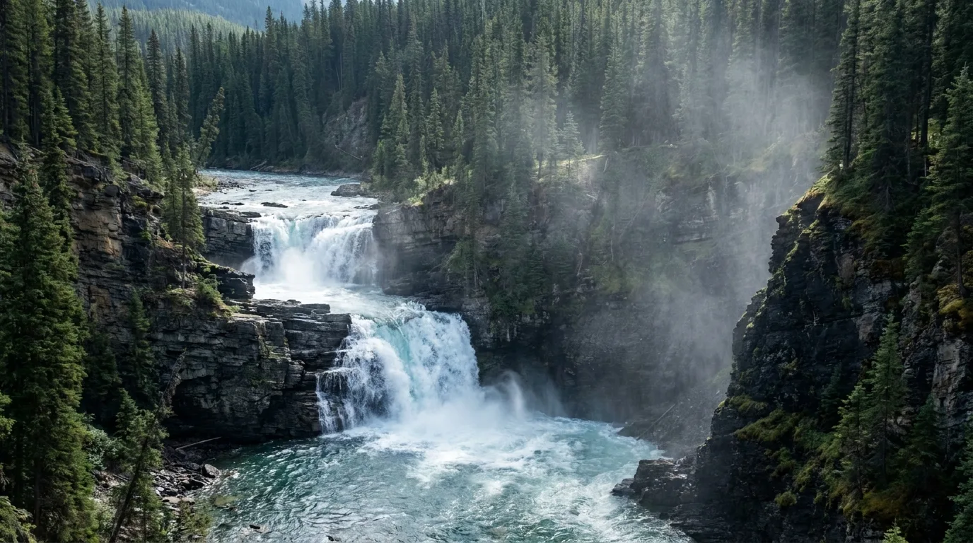
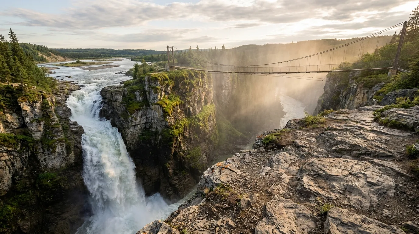
Access: 22 km W of Nordegg on Hwy 11, then ~6 km N on gravel. A gorge viewpoint sits at a pullout ~3.5 km up the access road; a ~3 km Bighorn Canyon Trail (community figure) follows a steep cliff edge. Easy-to-moderate.
Caution: extremely dangerous fast, cold water with a strong undertow; unguarded cliff edge. Proper footwear required.
Access: at Ram Falls Provincial Park, ~65 km S of Nordegg on gravel Hwy 734. One of Alberta's tallest waterfalls, viewed from a short walk to fenced platforms near the campground/day-use. Very short and family-easy.
Caution: the gravel drive in is the real commitment; keep children back from unfenced edges beyond the platforms.
From the Siffleur Falls Staging Area on Hwy 11 near the south end of Abraham Lake, the trail crosses the North Saskatchewan on a suspension bridge and climbs into the Kootenay Plains Ecological Reserve. Community consensus (figures vary): first falls ~4 km one-way (~7 km return); second falls ~2.5 km farther; third falls ~1.5 km beyond — roughly 13 km return to the third falls. Easy-to-moderate to the first falls, moderate beyond.
The first falls drops into a deep slot gorge with no railings — people have died going over the edge. Stay well back from the lip.
Signed trailhead off Hwy 11 a few km before the Banff boundary. Conflicting figures: one first-hand source calls it a ~13 km trip, 6–8 hrs, "gaining ~1200 m"; another cites ~1100 m of gain in the first 6 km and rates it extreme; AllTrails lists a far longer ~19 mi variant. Do not trust a single number — this is a hard, big-gain day or an overnight.
Grizzly hotspot (especially berry season, late summer) — travel in groups, carry spray. Upper slopes are dry: carry all your water.
Access: trailhead near Abraham Lake's east shore. Community (varies): ~6.3 km return / ~851 m gain, 4–6 hrs (one source); another gives ~10 km / ~800 m. Hard — steep, relentless, huge Abraham Lake payoff.
Cultural note: a level bench about a third of the way up is described as a former Stoney vision-quest site — tread respectfully. Caution: steep, exposed, poor footing on descent.
Access: trailhead off Hwy 11 on the east side of Abraham Lake. Community: ~6.4 mi (~10 km) / ~2,811 ft (~857 m) gain, ~5–5.5 hrs; climbs to the lake, then optionally onto Allstones Ridge. Hard.
Caution: steep forested climb; navigation care near the ridge.

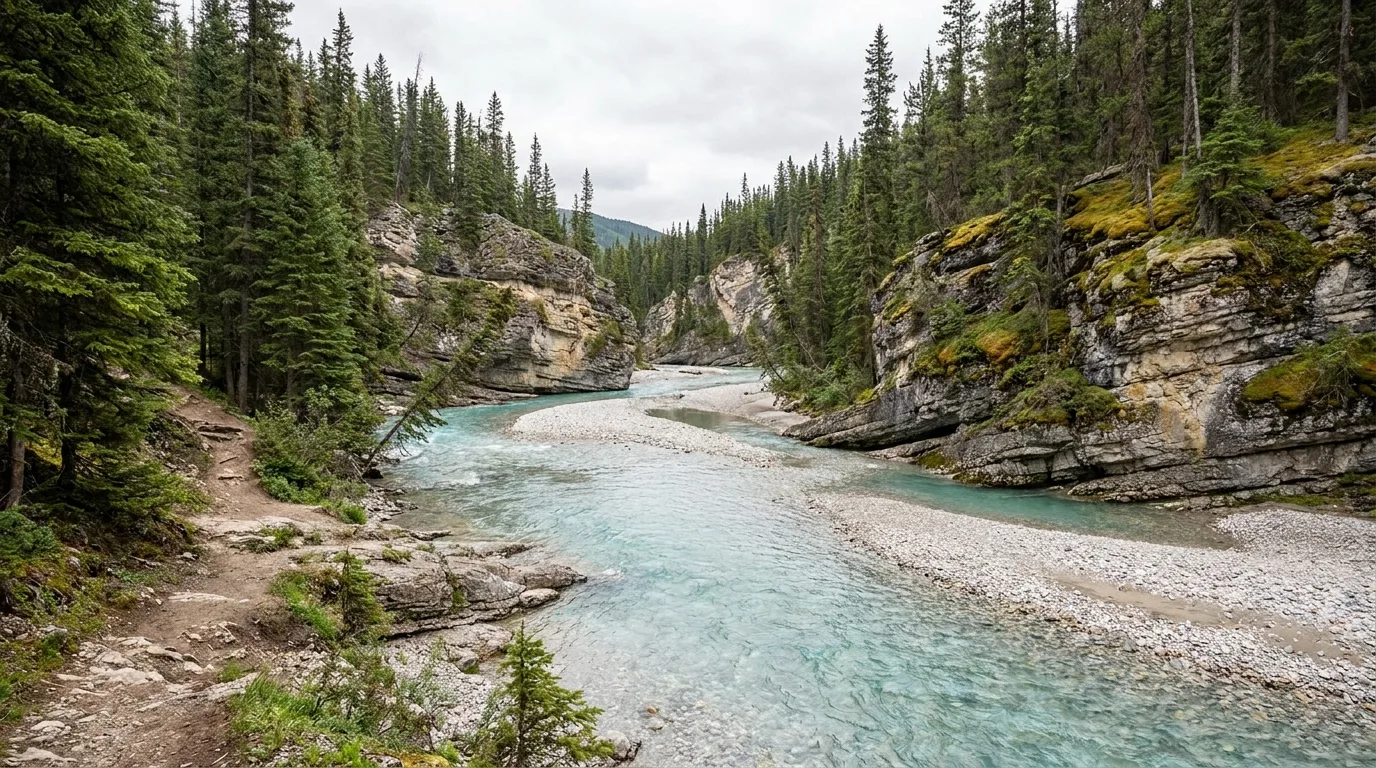
Coral Creek Canyon — near the Kootenay Plains / Cline River area off Hwy 11. Community: ~5.6 mi (~9 km) / ~1,118 ft (~340 m) gain, ~3–3.5 hrs, following a pretty canyon with lookouts. Moderate. Multiple unbridged creek crossings — Coral Creek can be impassable or dangerous in high water (snowmelt / after rain). Not a good early-summer or storm-day objective.
Two O'Clock Ridge — from the Two O'Clock Creek / Kootenay Plains area, ~67 km W of Nordegg. Community: ~7.2 mi (~11.6 km) out-and-back, challenging; a ridge extension adds ~3.5 km / ~300 m plus light scrambling. Hard. Long, steep, exposed — turn around if weather builds.
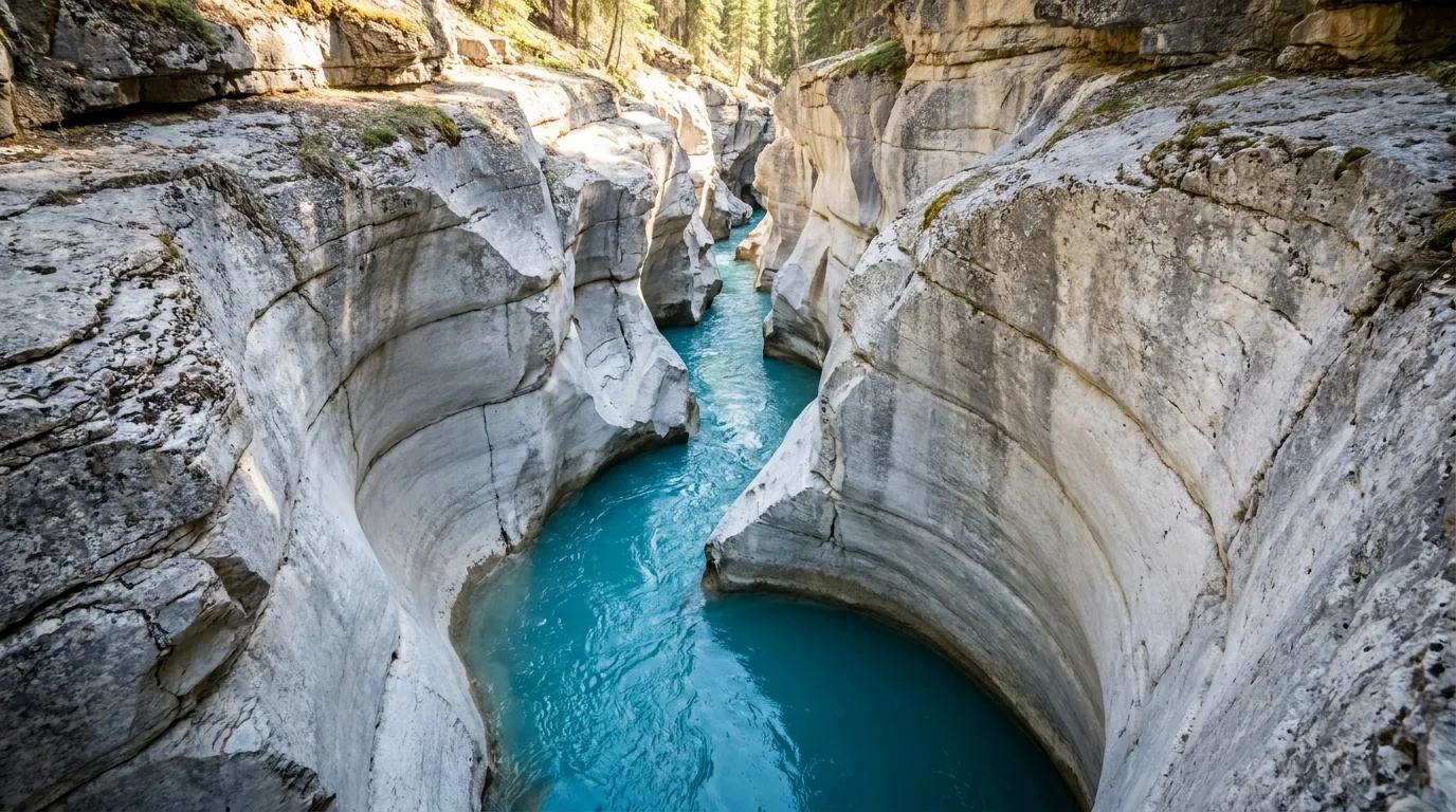
Access: off Hwy 11 near the Cline River. Community: short, ~3.2 km, easy — turquoise water cutting a narrow limestone slot, with rim viewpoints.
Caution: unguarded canyon rim — stay back from the edge, especially with kids.
Access: the White Goat Wilderness Area (445 km²) abuts Jasper and Banff; access points are off Hwy 11. The most protected, most committing landscape on this trip — a true Wilderness Area with no facilities, no bikes, no motors. Most people only sample the edge (e.g. Whitegoat Falls) as a day trip.
Caution: strict Wilderness rules and zero infrastructure or rescue convenience — full self-sufficiency required.
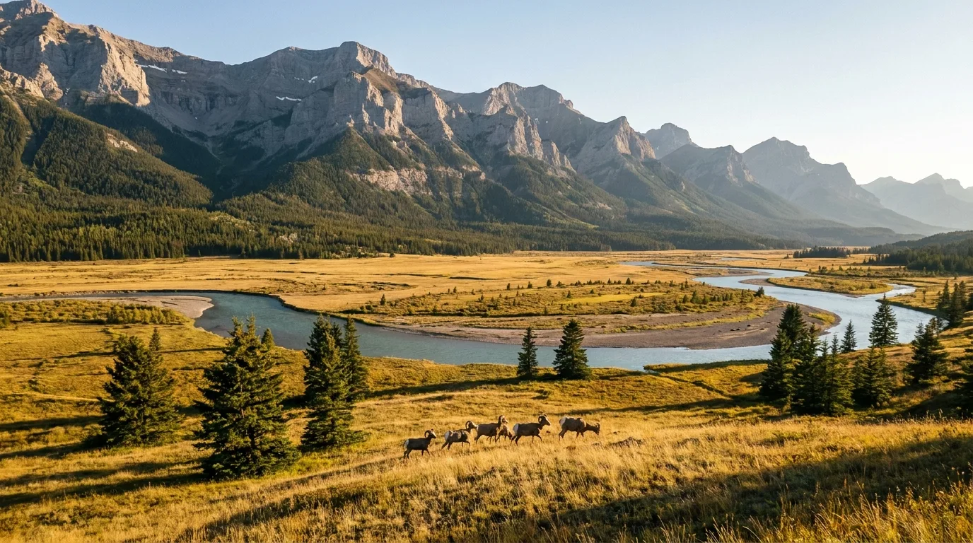
West of Abraham Lake the forest opens into a rare montane grassland — easy river-flat walking, bighorn sheep, elk, deer and raptors, and a deep human history. It's the softest, most family-friendly walking on the whole corridor, and it's a living sacred landscape, not just scenery.
Kootenay Plains PRA / Ecological Reserve, Hwy 11 west of Abraham Lake. Easy valley loops on river flats; the "Tuff Puff" loop is ~11.6 km and harder (Backcountry Views). Wildlife is the draw — bighorn sheep, elk, deer, raptors.
Note: it is an Ecological Reserve in places — stay on trails, no motorized use, protect the grassland.
This grassland is the traditional hunting, camping and ceremonial ground of the Stoney Nakoda Nation, with prehistoric camps dated 5,000+ years. After signing Treaty 7 in 1877, the Stoney set cairns to mark land they understood was promised in the valley grasslands they call Egnuck Wida. It remains a living sacred landscape — tread with respect.
Camping here splits two ways. A handful of Alberta Parks fee campgrounds ($28/night for 2026 where confirmed) give you a table, a fire ring and a pit toilet — but almost none have drinking water. Everything else is free random camping on Crown land, the real reason people come, for the price of a $30/yr Public Lands Camping Pass.
| Campground | Location | 2026 fee | Season | Water |
|---|---|---|---|---|
| Ram Falls (PP) | 65 km S of Nordegg, Hwy 734 | $28/night | Jun 1 – Sep 8 | No (hand-pump not potable) |
| Crescent Falls (PRA) | 22 km W of Nordegg, +6 km gravel N | $28/night | May 8 – Oct 4 | No (bring your own) |
| Two O'Clock Creek (KP PRA) | 67 km W of Nordegg, Hwy 11 | $28/night | May 8 – Oct 3 | No (hand-pump = fire use only) |
| Thompson Creek (PRA) | 83 km SW of Nordegg, Hwy 11 | ~$28 ⚠️ reported | Confirm on booking site | Confirm |
| Dry Haven (PRA) | 11 km W of Nordegg, Hwy 11 | Confirm ⚠️ | Confirm | Confirm |
| Fish Lake (PRA) | 6 km W of Nordegg, +2 km S | Confirm ⚠️ | Confirm | Yes (drinking water on site) |
⚠️ Ram Falls, Crescent Falls and Two O'Clock Creek are officially $28/night for 2026 (Alberta Parks) and each state their hand-pump water is not potable. Thompson Creek is a reviewer-reported ~$28; Dry Haven and Fish Lake 2026 fees are not on their info pages — confirm all three on shop.albertaparks.ca. All use the same reservation line 1-877-537-2757, reservations open 90 days ahead, and mix reservable + first-come sites (Ram Falls Loop 1, ~10 sites, is FCFS). Fish Lake near Nordegg is the only site with drinking water on site — but no trailer fills (fill behind the Nordegg Lodge).
Fee: Ram Falls, Crescent Falls, Two O'Clock Creek, Thompson Creek, Dry Haven and Fish Lake — reserve or first-come, ~$28.
Free: everything else — the pullouts, gravel spurs and PLUZ random sites — with a Public Lands Camping Pass, provided you're 1 km+ from those Parks and Rec Areas. The land is free; the pass ($30/yr per adult) is the cost of entry.
Preacher's Point on Abraham Lake is the best-known informal summer camping/day-use area — signed and easy to reach, but it fills fast.
Nordegg is the last real service hub: fuel, a small grocery/convenience, lodging. The moment you turn west on Hwy 11 or south on Hwy 734, the services stop and the signal dies. This is the logistics you sort in town, not on the road.
🔴 Assume no cell from Nordegg outward. Alberta Parks explicitly notes no cell coverage and no debit at Two O'Clock Creek. Download offline maps; carry a satellite communicator (inReach / Zoleo) and leave a plan.
Nothing here is exotic, but the hazards are specific and they compound because help is far away. Remoteness with no signal, unbridged crossings and lethal cold water, bears, ferocious reservoir wind, and the plain fact that no services and no water means you have to carry your own margin. None of it should stop you — all of it should shape your kit.
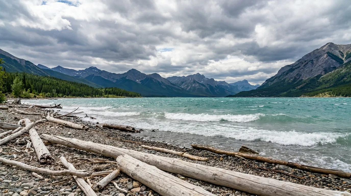
Abraham is a man-made reservoir — notoriously strong winds and cold water, with fluctuating levels. It is not a swimming lake.
The famous frozen methane bubbles are a winter phenomenon (best mid-January to early February, when clear ice traps the gas) — you will not see them in summer. In summer, Preacher's Point is a windy, teal-water shoreline and a popular informal camping/day-use spot.
Run it before you leave Nordegg. Tap each item as it's done — these are the ten things specific to the Bighorn that a general road-trip habit will skip. Most come back to two facts: the services stop at the edge of town, and nobody's coming to save you.
This region is genuinely under-documented — few of these hikes have an official Alberta Parks trail sheet with a signed distance, and crowdsourced sources disagree. On remote, no-cell country, a confident wrong number costs more than an admitted gap. Here's what we hedged and why.
Everything above, condensed into a print-ready PDF built for the glovebox — for a region where the fuel stops at the edge of Nordegg, the cell dies past town, and the best camping is free but on you. The corridor and fuel-gap breakdown, the waterfall and ridge day-hikes with their honest community caveats, the fee campgrounds and their no-water reality, the free Crown-land random-camping rules, the bear-and-cold-water safety plan, and the honest list of what nobody could confirm — on paper that works where the signal doesn't.
Every Trekkr Trail Journal is built like this one: custom logistics, honest trail beta, the camping and access detail, and the local knowledge that turns a good trip into the one your crew talks about for years — including, always, a plain list of what we could not confirm. New destinations drop all season long, from the BC corridors to the Alberta front ranges.
Unlock the Trail Journal Library