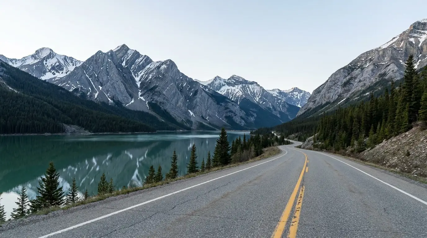
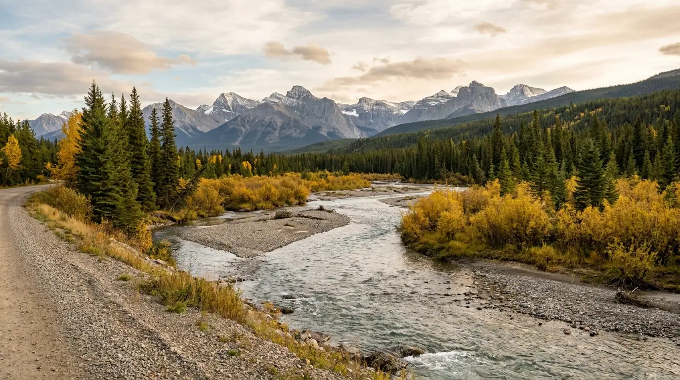
The stretch people remember. From Fort Nelson — the last full-service town and the last hospital — the highway climbs over the highest pass on the whole Alaska Highway, threads the Northern Rockies past a jade-coloured lake and a valley of natural hot springs, and delivers stone sheep and bison standing on the pavement. It is also where the towns run out: after Fort Nelson, "services" is a lodge with a fuel pump every 30 to 80 km, and several are seasonal. Fuel with discipline, keep your distance from the animals, and it is one of the great drives in North America.
The rest of this journal is evergreen; this box is not. On the Fort Nelson–Watson Lake run two things decide whether your day works before any viewpoint does — whether you have fuel and open services (§02) and whether you keep clear of the wildlife on the road (§04, §06). Both change with the season and the week. Everything below is dated to the day we checked it. Trust the live sources, not our date stamp.
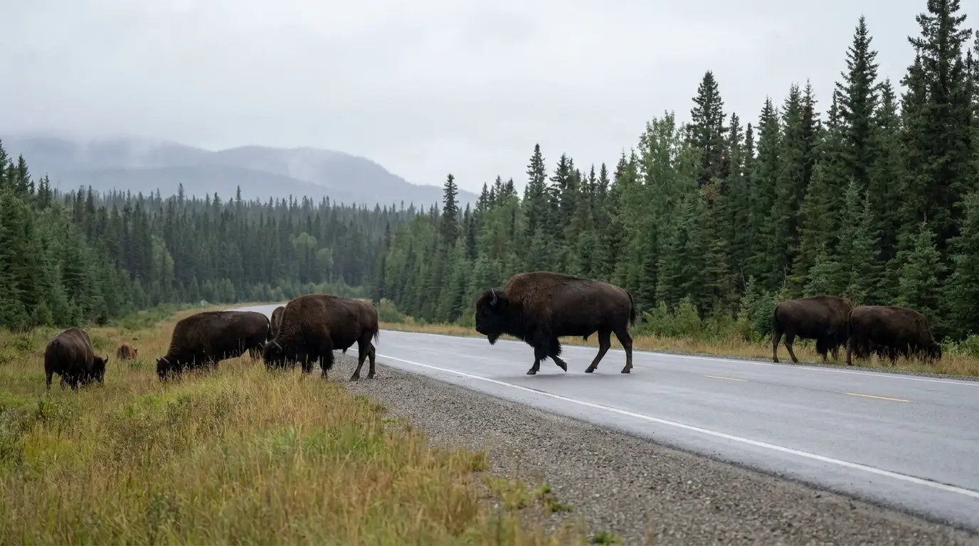
This is the roughly 525 kilometres of the Alaska Highway that people come back talking about. Leaving Fort Nelson, the road climbs out of flat boreal muskeg into the Northern Rocky Mountains, crosses the highest pass on the entire highway, and then spends two glorious hours alongside a jade-green lake before dropping to a valley where hot water bubbles up through the spruce. Along the way it hands you the best roadside wildlife viewing in Canada: stone sheep on the road cuts, caribou on the tundra, and a herd of wood bison that treat the pavement as their own. What makes it a proper trip rather than a scenic drive is the flip side — after Fort Nelson there is no hospital, no supermarket and no town until Watson Lake, only a string of family lodges with a fuel pump, several of them seasonal. Plan the fuel, respect the animals, and this is one of the great weeks of driving on the continent.
A soak in a natural hot spring at Liard, jade water at Muncho Lake, the highest pass on the highway at Summit Lake, and wildlife — sheep, caribou, bison, bears — closer than anywhere else on the road (§03, §04, §05).
After Fort Nelson, no hospital and no full-service town for ~525 km. Fuel is a lodge-and-a-pump every 30–80 km, many open May–Sept only, and no cell service between towns (§02, §06, §08).
Never below half a tank. Slow for animals and view them from the car. Carry a spare you can fit, water, food and warm layers. Expect to be self-sufficient between towns (§02, §06).
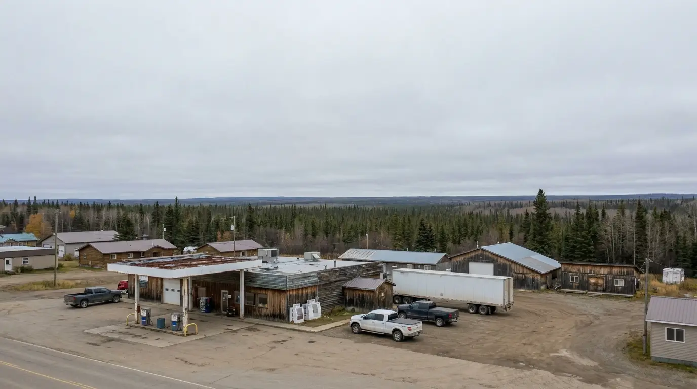
If you take one thing from this issue, take this. The Fort Nelson–Watson Lake run is one of the longest service-thin stretches on the Alaska Highway. The road is fully paved and easy; the challenge is that fuel, food and help come from single family lodges spaced tens of kilometres apart, and several are seasonal. Here is the reported chain of stops for planning — treat every one as possibly closed, keep the tank above half, and carry the means to wait.
| Stop (reported milepost) | What's there | Reported gap to next | The catch |
|---|---|---|---|
| Fort Nelson Mile 300 |
Full services: fuel, groceries, mechanics, hospital, lodging, RV parks | ~75 mi / 120 km to Tetsa River | Last hospital and full resupply. Fuel up, stock up, air up here |
| Tetsa River Hist. Mile 375 |
Fuel, café (cinnamon buns), cabins, campground | ~47 mi / 75 km to Toad River | Seasonal — confirm open |
| Toad River Mile 422 |
Fuel & diesel, café, motel, cabins, RV park | ~40 mi / 65 km to Muncho Lake | Lodging year-round; camping seasonal |
| Muncho Lake / Northern Rockies Lodge Mile 462 |
Fuel, lodge, cabins, restaurant, RV park, floatplane base | ~71 mi / 115 km to Coal River | Open year-round; the longest gap follows — top up |
| Coal River Hist. Mile 533 |
Fuel (incl. boat gas), café, motel, RV park | ~57 mi / 90 km to Contact Creek | Confirm season & hours |
| Contact Creek Hist. Mile 590 |
Fuel & diesel, café, minor repairs (reported) | ~45 mi / 70 km to Watson Lake | At the BC/Yukon line; no operator website — confirm before relying |
| Watson Lake (YT) Mile 635 |
Full services resume; Sign Post Forest | — | First full town since Fort Nelson |
Mileposts, distances and the roster of stops are compiled from MILEPOST-style listings and each operator's site, and vary by source and by season. Historical mileposts are traditional markers, not exact GPS distances. Treat every single stop as possibly closed and plan fuel to the stop after next.
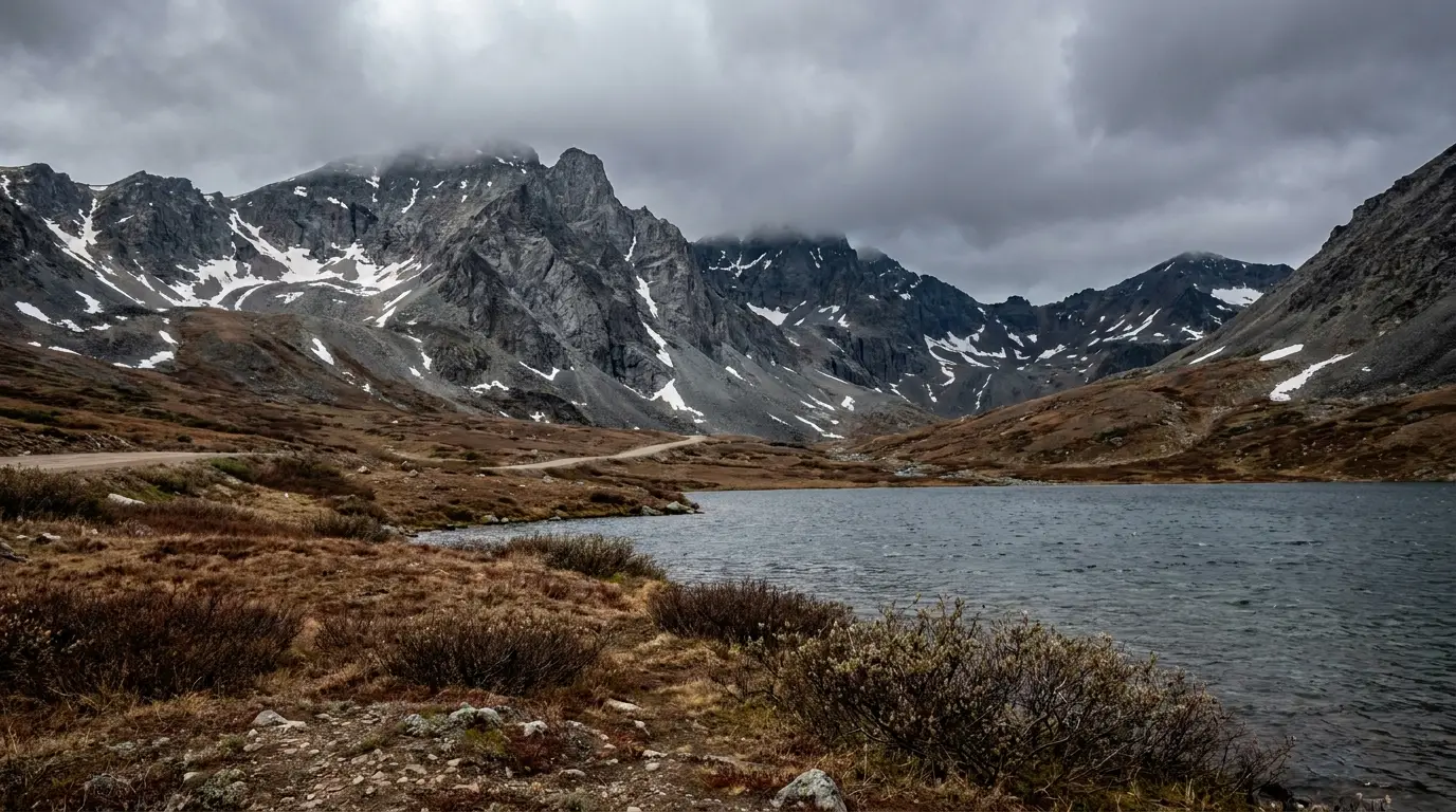
Two provincial parks give this drive its spine. Stone Mountain wraps the highest pass on the whole Alaska Highway, with treeless alpine and a handful of short hikes right off the road. Muncho Lake is the jade jewel — twelve kilometres of mineral-green water under folded peaks, with two BC Parks campgrounds on its shore. Both are BC Parks, both take cash for camping, and both put you in the middle of the wildlife (§04). Here is what's real and what to confirm.
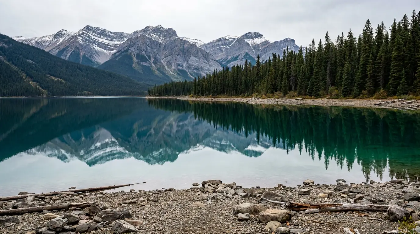
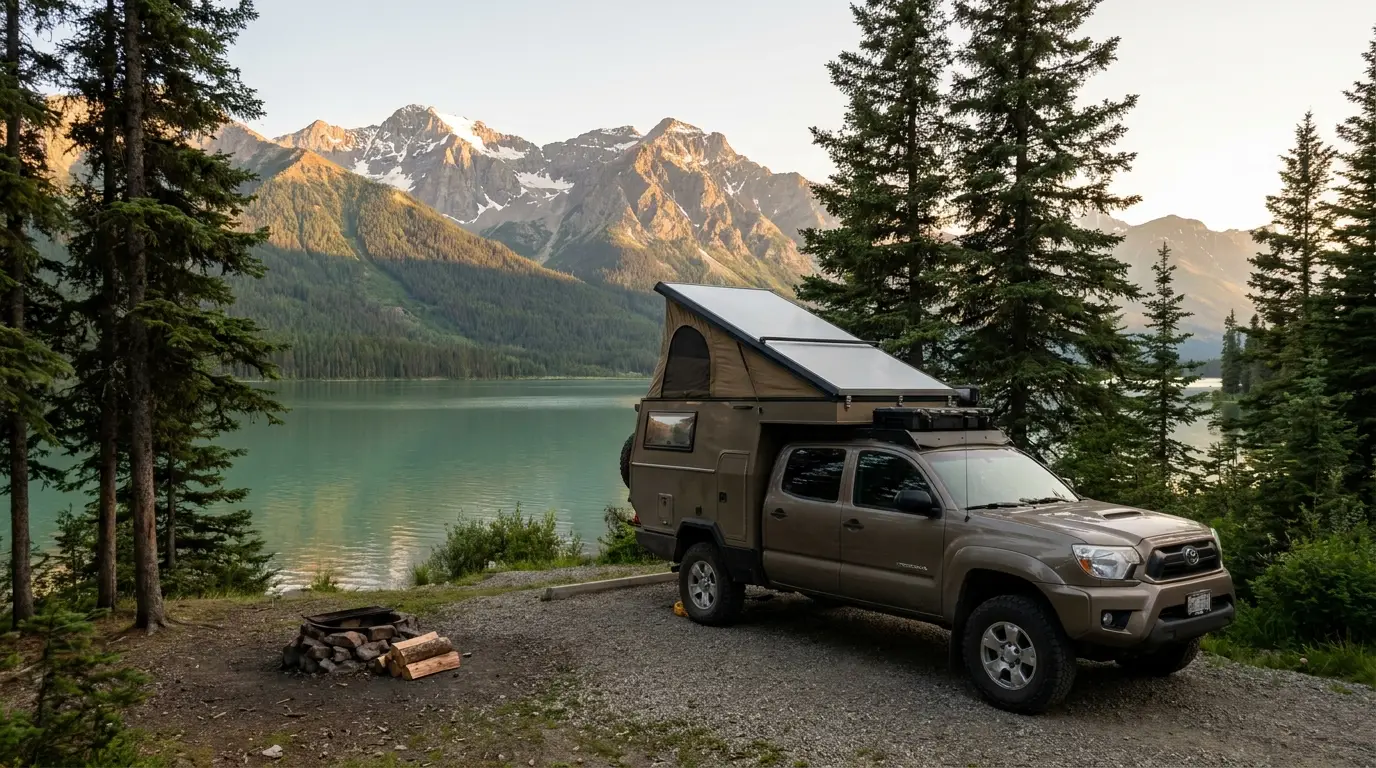
A 12-km jade-green lake coloured by leached minerals, under folded Rocky Mountain walls — the scenic peak of the drive. Two BC Parks campgrounds on the shore: Strawberry Flats (south) and MacDonald (~11 km north), reported ~15 sites each (§07).
Reservations: historically first-come, with a handful of lakeshore sites at each made reservable in recent years — confirm the current split with BC Parks. Boat launch on the lake; the private Northern Rockies Lodge (§08) sits mid-lake with fuel and a floatplane base.

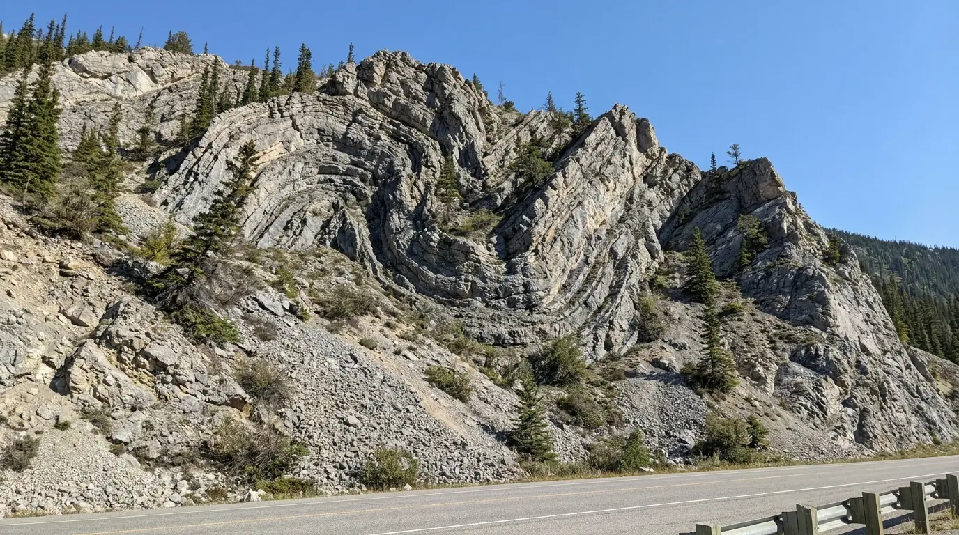
Near the south end of Muncho Lake, the highway passes Folded Mountain — a hillside whose limestone strata are bent into dramatic S-folds, a textbook of Rocky Mountain tectonics visible straight from the road. It's a roadside look, not a hike.
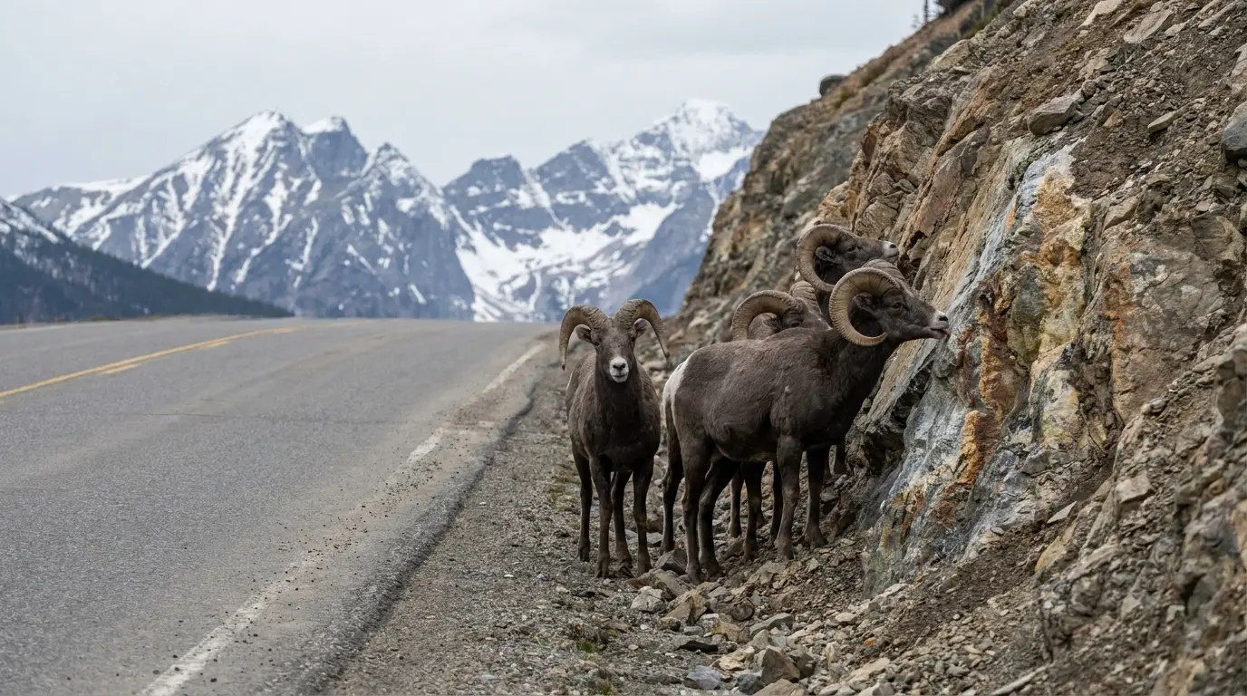
This is also where the mineral licks draw stone sheep down to the pavement (§04). The combination — folded rock, jade lake, sheep on the road — is why this half-hour is the most photographed on the whole northern highway.
We could not pin Folded Mountain to a single OpenStreetMap coordinate — it's a recognized roadside viewpoint between Toad River and Muncho Lake; watch for the pullouts.
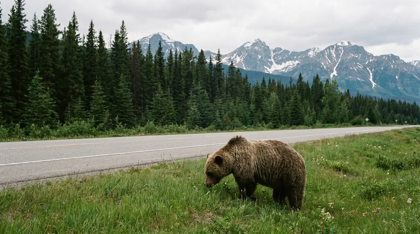
This corridor has some of the best roadside wildlife viewing in Canada, and that is exactly why it demands discipline. The animals are wild, large and often on the pavement, and the biggest risk to both you and them is a vehicle. The rule is simple and it never changes: slow down, view from inside the car, never feed or approach. Here is what you'll see, where, and how to handle it.
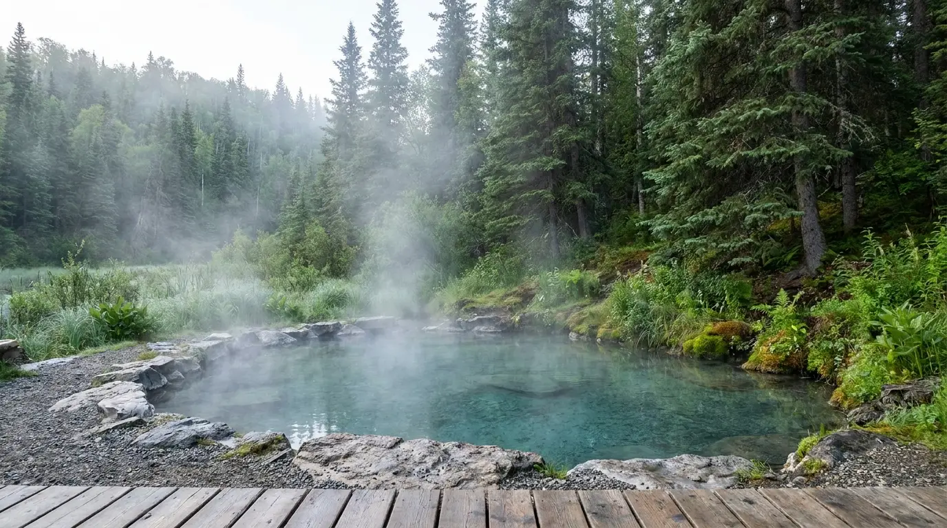
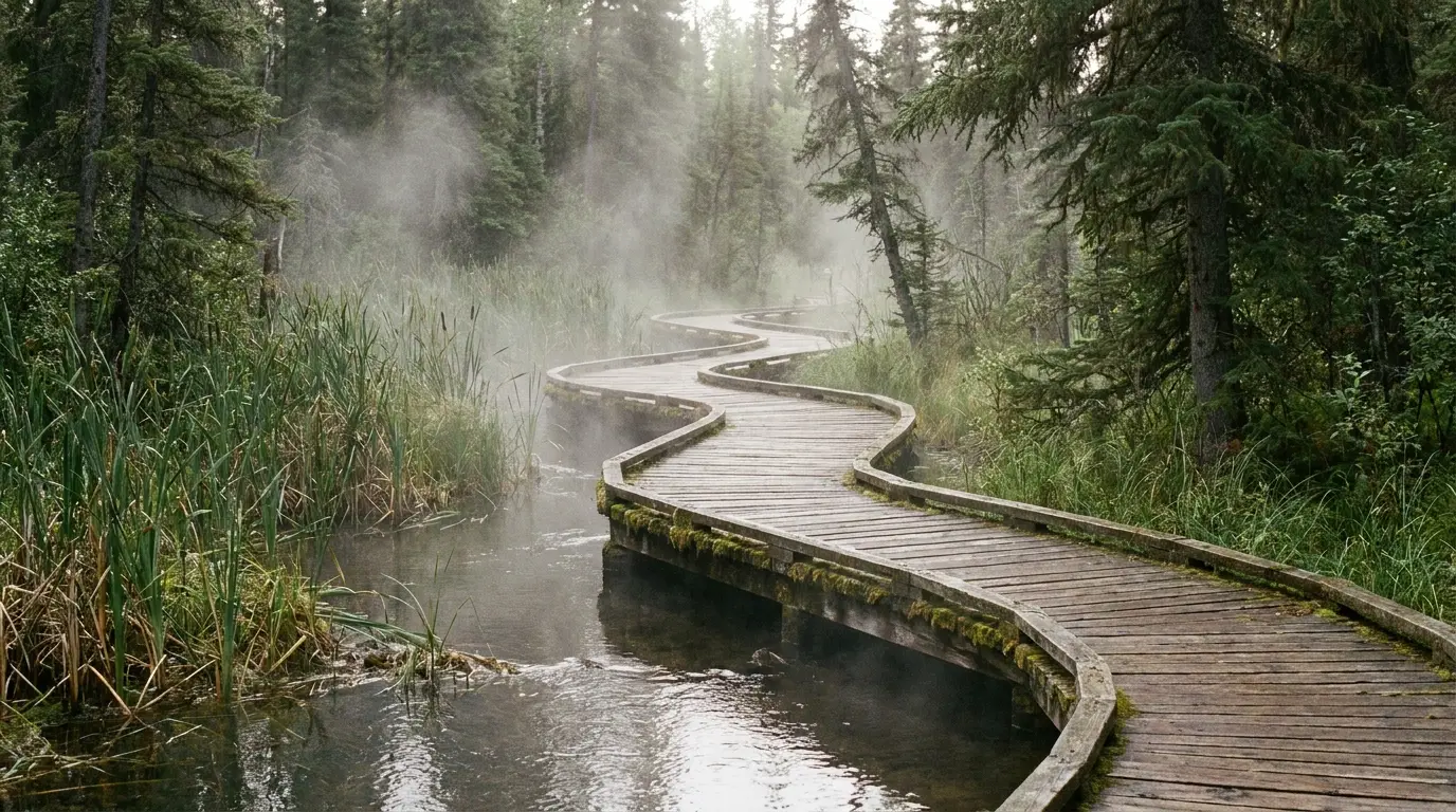
If there is a single reason people remember this drive, it's the soak at Liard. A boardwalk winds through a steaming boreal wetland — the "Tropical Valley," warm enough to grow orchids at these latitudes — to the Alpha pool, a natural hot spring in the forest. It is the highlight of the corridor and, handled right, the reward at the end of a long driving day. It is also a genuinely wild place with a hard history, and both facts belong in the same paragraph. Here is the honest version.
Temperatures, hours and fees are reported figures — confirm current details and any Beta-pool status with BC Parks before you go.
The hot water keeps a pocket of the boreal forest warm and humid, growing a surprising richness of life for the latitude — reported 250-plus plant species including 14 orchids, plus abundant birds. Moose feed in the warm swamps, sometimes right beside the boardwalk.
It earns its old nickname, the "Tropical Valley" — but it is boreal wilderness, not a resort. Keep your distance from the moose, keep a clean camp, and read every posted notice.
Most of what goes wrong on this stretch comes down to four things, and none of them is the road surface. The first is wildlife — on the pavement and in camp. The second is remoteness: no cell service, no quick rescue, long distances between help. The third is cold and exposure, even in summer, at the passes. The fourth is simple mechanical self-sufficiency. Plan for all four and the drive is safe and superb; ignore any one and a small problem becomes a serious one fast.
Assume bears anywhere along here. Carry bear spray where you can reach it, and know how to use it. Keep a clean camp — store all food, garbage and scented items in your vehicle or a hard container, never in a tent. Make noise on trails, travel in groups, and never approach or feed a bear or a cub.
If a bear approaches: don't run. Black bear that presses in — stand tall, be loud, fight back if attacked. Grizzly defensive encounter — different response; learn the difference before you go. Follow all BC Parks notices, which change with bear activity.
Camping up here splits neatly in two. The BC Parks campgrounds — Summit Lake, Muncho Lake's two, and Liard — put you on the water and in the scenery, but they're basic (vault toilets, no hookups, cash for fees) and mostly first-come. The private lodge RV parks — Toad River, Northern Rockies, Coal River, Tetsa River, Triple G in Fort Nelson — give you hookups, showers and a meal, and bridge the fuel gaps. Mix the two: parks for the views, lodges for the services and the long-gap nights. Reported fees and seasons below; confirm before you rely on them.
| Campground | Where · manager | Sites | Booking | Reported fee* |
|---|---|---|---|---|
| Summit Lake | Stone Mountain PP · BC Parks | 28 (un-serviced, alpine) | First-come | $20 cash (reported) |
| Strawberry Flats | Muncho Lake PP · BC Parks | ~15 (some lakeshore) | Mixed: first-come + some reservable | ~$20 cash (confirm) |
| MacDonald | Muncho Lake PP · BC Parks | ~15 (most lakeshore) | Mixed: first-come + some reservable | ~$20 cash (confirm) |
| Liard River Hot Springs | Liard River HS PP · BC Parks | ~53 (reported) | Mixed: reservable + first-come | ~$16–26 (confirm) + day-use fee |
| Triple G Hideaway | Fort Nelson · private | full hookups, big-rig | Private (call/site) | confirm |
| Tetsa River Lodge | Hist. Mile 375 · private | campground + cabins | Private (seasonal) | confirm |
| Toad River Lodge | Mile 422 · private | 23 RV (full hookup) | Private; camping seasonal | confirm |
| Northern Rockies Lodge | Muncho Lake, Mile 462 · private | RV park (30-amp reported) | Private; year-round | confirm |
| Liard Hot Springs Lodge | Mile 497 · private | RV park (seasonal) | Private; across from the park | confirm |
| Coal River Lodge | Hist. Mile 533 · private | 8 serviced + unserviced | Private (seasonal) | confirm |
*Site counts, seasons and fees are compiled from BC Parks and each operator's public site and travel listings, and vary by source and by season. BC Parks camping fees on this corridor are reported cash only; several private stops are seasonal (roughly May–Sept). Many figures are shown as "confirm" because sources disagreed or the operator didn't publish them. Confirm current fees, seasons and reservation status before you rely on any of them.
Carry cash — BC Parks fees here are reported cash only, and some private stops prefer it too. Arrive early in July and August; the lakeshore and hot-springs sites are first-come and fill by afternoon.
Bear-country camp discipline is not optional (§05, §06): all food and scented items stored in the vehicle, a clean site, nothing left at the pool or the picnic table. And check that seasonal private parks are actually open the week you go.
This run has exactly one real town at each end and a chain of family lodges in between. Fort Nelson is your last full resupply and the only hospital; stock up, fuel up and fix anything here. West of it, "town" means a lodge with a pump, a café and a few rooms — often seasonal, often the only thing for tens of kilometres. Watson Lake, over the Yukon line, is where full services resume. Plan every purchase around that.
Store names beyond the listed operators are directional — confirm hours before relying on them.
We confirmed no operator pricing, and several stops are seasonal. Contact Creek Lodge and Double G Service are useful fuel/food stops but we found no operator website to source them from — confirm locally. Check current websites before you rely on any stop.
The window is defined less by the road, which is plowed and open year-round, than by the services and the daylight. High summer is when the campgrounds and lodges are reliably open, the passes are clear, and the wildlife is out. The shoulders are quieter and can be magic — fall colour, early aurora — but with more services closed and colder nights. Winter is a serious undertaking. If you want one answer, go in July or early August; if you want fewer people, take the risk on the shoulders and confirm openings.
One workable shape, not the only one. You can blast Fort Nelson to Watson Lake in a long day, but this is a corridor to savour — the wildlife, the jade lake and the hot springs deserve time. This version stages in Fort Nelson, spends the middle days in the parks, and ends the driving day at Liard's pools. Adjust freely, but keep the fuel plan (§02) and the early arrivals for first-come sites.
Run it before you leave Fort Nelson. Tap each item as it's done — these are the ten things specific to the Northern Rockies run that a general road-trip habit will skip. Most come back to two facts: fuel and open services decide your day, and you are self-sufficient — for wildlife, cold and breakdowns — between towns.
Every guide has these; most don't print them. This corridor mixes BC Parks land with private highway lodges, and the land managers don't publish a single authoritative table of fees, seasons and site counts — so more numbers here are reported estimates than we'd like, and we've flagged them in place. Everything below was compiled 22 July 2026 and should be re-checked against the linked official source before you rely on it.
Everything above, condensed into a print-ready PDF built for the glovebox — for a stretch of the Alaska Highway where the fuel plan decides your day, the signal dies at Fort Nelson, and the wildlife stands on the road. The fuel-stop chain with the gaps, Summit Pass and the two provincial parks, jade Muncho Lake, the Liard hot springs told straight with its honest bear history, the campgrounds with reported fees flagged, the stone-sheep and bison rules, the seasonal timing, and the honest list of what nobody could confirm — on paper that works where the bars don't.
Every Trekkr Trail Journal is built like this one: custom logistics, honest trail beta, the camping and access detail, and the local knowledge that turns a good trip into the one your crew talks about for years — including, always, a plain list of what we could not confirm. New destinations drop all season long, from the northern highways to the Colorado Rockies to the Oregon Cascades.
Unlock the Trail Journal Library