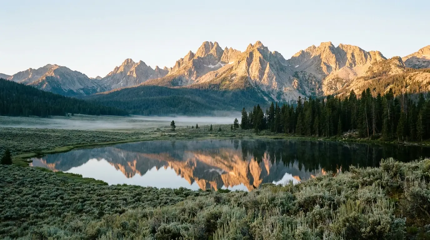
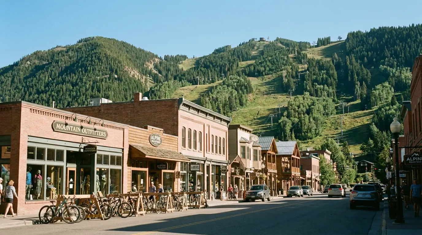
A wall of granite with more than 400 alpine lakes behind it, a town of about 100 people that is routinely the coldest place in the Lower 48 on a summer morning, and a boat shuttle that takes six miles off the best hikes. This is a no-park-gate landscape — no timed entry, no line at a booth — but it runs on its own rules: a mountain pass with no fuel for 60 miles, campgrounds that split between reservable and first-come, and weather that puts frost on your tent flap in July. Here is how to plan it straight.
Unlike a national park, the Sawtooth NRA has no timed-entry system to win. What changes week to week are three things: the state of Highway 75 over Galena Summit, which campgrounds have space, and the air — smoke season is real. Everything below is dated to the day we checked it. Trust the live sources, not our stamp.
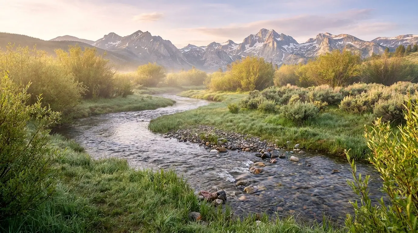
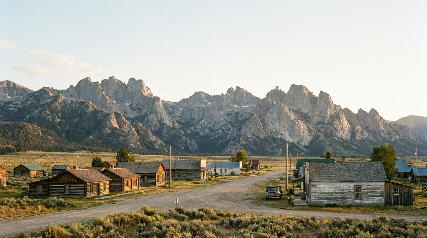
Most mountain ranges build up to their high country through foothills. The Sawtooths don't. You come north over Galena Summit, drop into the Stanley Basin, and the range is just there — a serrated wall of granite standing above a flat valley floor of sage and the young Salmon River, with more than 400 alpine lakes hidden in its folds. It is a designated National Recreation Area wrapped around a wilderness, which means no entrance gate and no timed-entry lottery, but also fewer services, colder nights, and a self-reliance the national parks two states over will have softened you out of.
Granite spires over glass-clear tarns, day hikes from Redfish and Iron Creek into the high country, and a backcountry with hundreds of lakes for a few nights' walking. The Alice–Toxaway loop is one of the classic backpacks in the American West.
You sleep at 6,200–6,900 ft and hike well above it. The basin traps cold air — Stanley is regularly the coldest town in the country on summer mornings, and frost is possible in any month (§07).
No park gate also means no park infrastructure. Stanley is tiny, fuel is limited and pricey, cell service is poor, and it's 60 miles of mountain road to full services in Ketchum. Arrive stocked (§09).
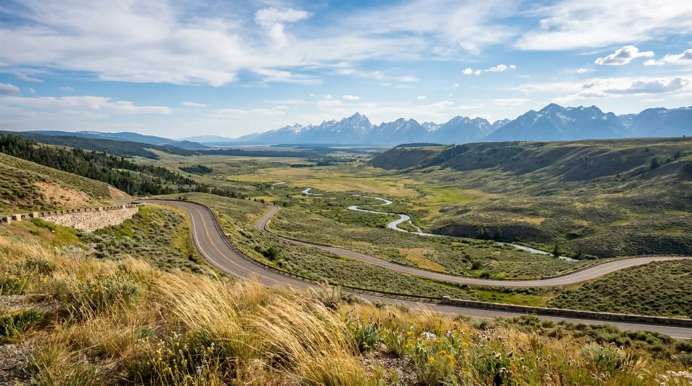
The single road that ties this region together is State Highway 75, the Sawtooth Scenic Byway, and its high point is Galena Summit at 8,701 feet. Get the byway right — where the fuel is, where the Salmon River begins, where to stop — and the logistics of the whole trip fall into place. Get it wrong and you're coasting into Stanley on fumes.
SR-75 runs from the Wood River Valley north through Ketchum, climbs to Galena Summit (8,701 ft) — described as one of the highest summits crossed by a highway in the region — and drops into the Stanley Basin, following the young Salmon River the last stretch into Stanley. The overlook sits about 29 miles northwest of Ketchum.
There is effectively no fuel on the ~60 miles between Ketchum and Stanley. Galena Lodge, partway up the south side, is a day-use / Nordic operation, not a gas station, and is seasonal. Fill up in Ketchum going north, or in Stanley going south.
Galena is generally kept open year-round, but at 8,701 ft it gets snow and ice in the shoulder seasons and winter, and Idaho's traction / chain requirements can activate. A summer thunderstorm or an early-season snow squall can make it briefly ugly in any month.
Check 511.idaho.gov before you cross, especially outside July–August. In winter the drive is real mountain driving, not a scenic cruise.
We do not assert a live road status here — it changes hourly. The 511 line is the truth on the day.
⚠️ Galena Lodge and the fish hatchery have seasonal hours and can close for the shoulder season — confirm current operating status before relying on either as a stop.
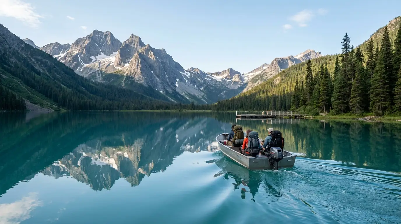
Almost every first Sawtooth trip runs through Redfish Lake. It's the biggest and busiest lake in the basin, ringed by campgrounds, fronted by a historic lodge and marina, and the launch point for the range's best-known hikes. The single most useful thing to understand here is the hiker boat shuttle, because it turns long approaches into day hikes.

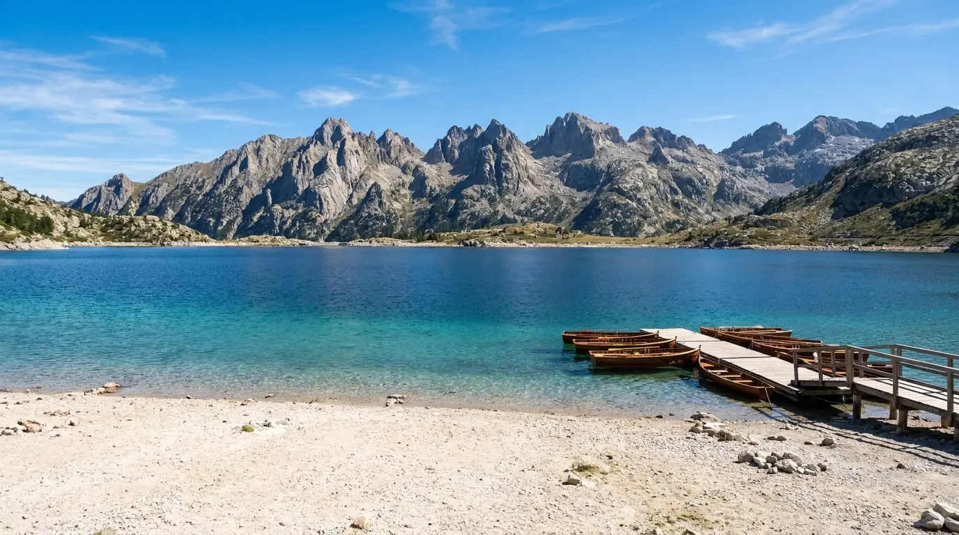
Redfish Lake Lodge runs a passenger boat from the north-shore marina to the Redfish Inlet Transfer Camp at the lake's south end, dropping you at the Redfish Inlet trailhead. It removes roughly five to six miles of flat lakeshore walking each way and drops you straight into the granite toward Alpine Lake, the Cramer Lakes and the Cramer Divide.
How it runs: roughly late May to mid-October, on demand from the dock with a minimum party size (reported around four) during daytime hours, with scheduled return pickups you arrange with the marina. Overnight backpackers use the free backpacker parking lot about a quarter-mile from the lodge.
⚠️ Fare, exact season dates, hours and the party-size minimum change year to year — confirm with the Redfish Lake Lodge marina before you plan a shuttle-dependent hike. If the boat isn't running, every route here is still walkable; it's just longer.
Redfish Lake is named for the sockeye salmon that once returned here by the thousands, turning the shallows red at spawning time after a journey of some 900 miles and 6,500 feet of climb from the Pacific — one of the longest and highest salmon migrations on Earth.
Dams and other pressures collapsed the run; by the early 1990s returns were counted in the single digits, and Snake River sockeye were listed as endangered. A hatchery-supported recovery program continues today. It's the backstory to the whole basin, and the reason the fish hatchery down the highway exists.
Historical figures are widely reported; confirm current run numbers and program status with Idaho Fish and Game if they matter to your visit.
Distances and elevation gains below are drawn from trail descriptions and mapping and are planning estimates, not surveyed figures — different sources disagree by a mile or a few hundred feet on nearly every Sawtooth trail, so treat them as ballpark and carry a real map (the National Geographic / USFS Sawtooth Wilderness map). All of these enter big, exposed granite country: start early, watch the afternoon sky, and budget more time than the mileage suggests at this altitude.
~4.4 mi round trip · minimal gain. From the Redfish Trailhead, a nearly flat path through lodgepole and meadow along Fishhook Creek to a beaver-pond meadow with the Sawtooth peaks framed at the head of the valley. Easy, stroller-tolerant on the first stretch, and one of the best low-effort payoffs anywhere near Stanley.
Popular and busy in summer; the meadow is boggy and buggy in early season. Turn around at the meadow — beyond it the trail climbs and gets serious.
~7–8 mi round trip · ~1,200 ft gain from the Redfish Trailhead, climbing a series of granite shelves — the "benches" — with expanding views back over Redfish Lake to the peaks. Moderate. Mid-July through September is the reliable window.
The trail junctions early on are easy to miss; the upper benches are the reward, so don't stop at the first. Exposed and dry in the afternoon — carry water.
~8–10 mi round trip · moderate gain along the Stanley Lake inlet to a tall cascade below the crags (Trail 640). Distances quoted vary; it's a moderate half-day with the option to turn back at the lake's upper end. Best mid-summer into early fall.
Boggy and mosquito-heavy in early summer; the falls run hardest with snowmelt in June–early July and thin later. Bear country — see §07.
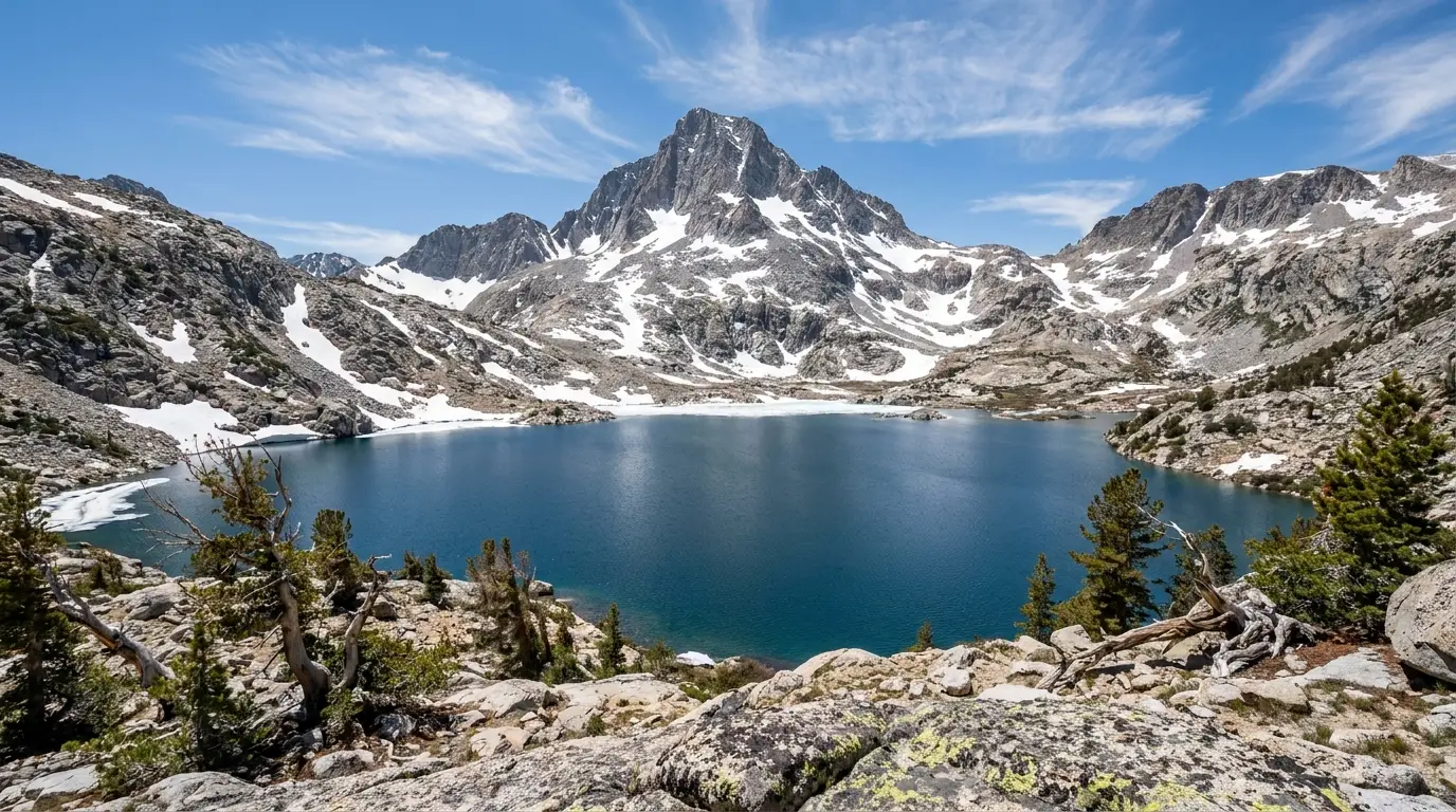
~10 mi round trip · ~1,700–1,900 ft gain from the Iron Creek trailhead (first-come Iron Creek Campground is right here). The trail climbs through forest, crosses Iron Creek, passes Alpine Lake, then tops out at the huge cirque holding Sawtooth Lake under Mount Regan. Moderate-to-strenuous, and the most popular hard day hike in the Sawtooths.
Snow lingers on the final climb into July, and the lake basin is fully exposed above treeline — turn back if storms build. The trailhead lot fills early on summer weekends; arrive at first light. Sources put the gain anywhere from 1,700 to 1,900 ft — plan for the higher number.
~5 mi round trip from the Redfish Inlet trailhead · ~1,000+ ft gain — if you take the boat shuttle across Redfish Lake. Walk the whole lake instead and it's roughly 11 miles each way to reach it. This is the payoff the shuttle exists for: a granite-rimmed lake deep in the wilderness on a manageable day.
Note there is more than one "Alpine Lake" in the Sawtooths — this is the one above Redfish Inlet on the Alpine Way / Baron Creek approach. Confirm your route on the map. Wilderness permit (free, self-issue) required if you camp.
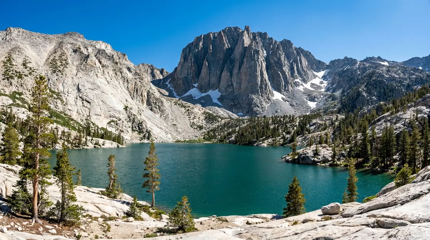
~18–19 mi loop · ~3,000+ ft of total gain from the Tin Cup Hiker trailhead at Pettit Lake. Past Alice Lake under the Elephant's Perch, over the Alice–Toxaway divide, down to Toxaway Lake and back — a granite-and-tarn tour usually done as a 1–2 night backpack, and one of the finest loops in the West. A day-hike out-and-back to Alice Lake alone runs about 12 miles round trip.
Sawtooth Wilderness permit (free, self-issued at the trailhead) required for overnights, plus a day-use fee at Pettit. Snow lingers on the divide into July; the lakes are exposed and cold. Store food properly — black bear country. Long, remote, and committing: this is a real backpack, not a stroll.
| Route | Trailhead | Round trip | Gain | Type |
|---|---|---|---|---|
| Fishhook Creek | Redfish | ~4.4 mi | minimal | Easy day |
| Bench Lakes | Redfish | ~7–8 mi | ~1,200 ft | Moderate day |
| Stanley Lake → Bridalveil Falls | Stanley Lake | ~8–10 mi | moderate | Moderate day |
| Sawtooth Lake | Iron Creek | ~10 mi | ~1,700–1,900 ft | Strenuous day |
| Alpine Lake (Redfish Inlet) | Redfish Inlet (boat) | ~5 mi w/ shuttle | ~1,000+ ft | Day / overnight |
| Alice Lake | Tin Cup (Pettit) | ~12 mi | ~1,600+ ft | Long day / overnight |
| Alice–Toxaway Loop | Tin Cup (Pettit) | ~18–19 mi loop | ~3,000+ ft | 1–2 night backpack |
All figures are planning estimates compiled from trail descriptions and mapping, not surveyed distances — sources disagree, so carry the USFS/NatGeo Sawtooth Wilderness map and treat these as ballpark. Times are fit-hiker estimates at altitude, not official figures.
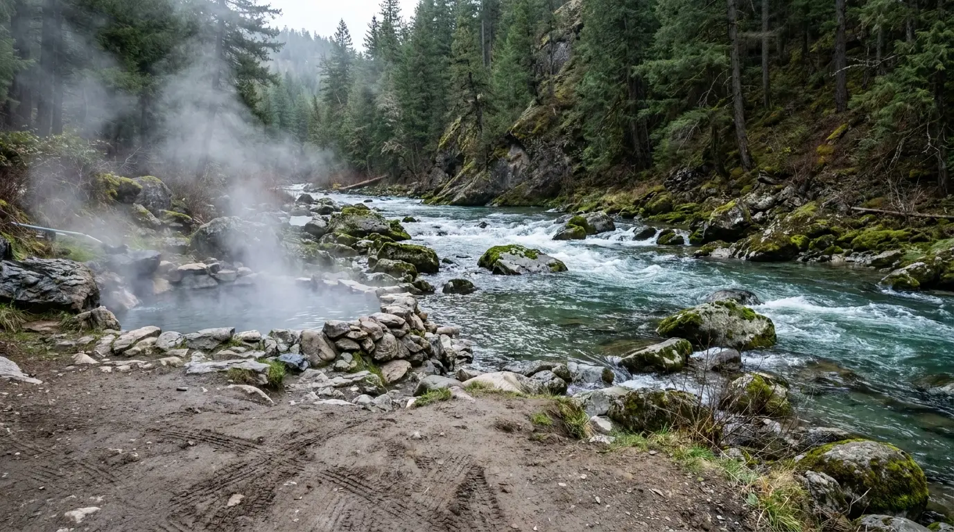
Not every day here needs 2,000 feet of climbing. The basin's drive-to lakes are for swimming, paddling and fishing, and the Salmon River east of Stanley is lined with primitive hot springs. Both are where the Sawtooths reward doing less.
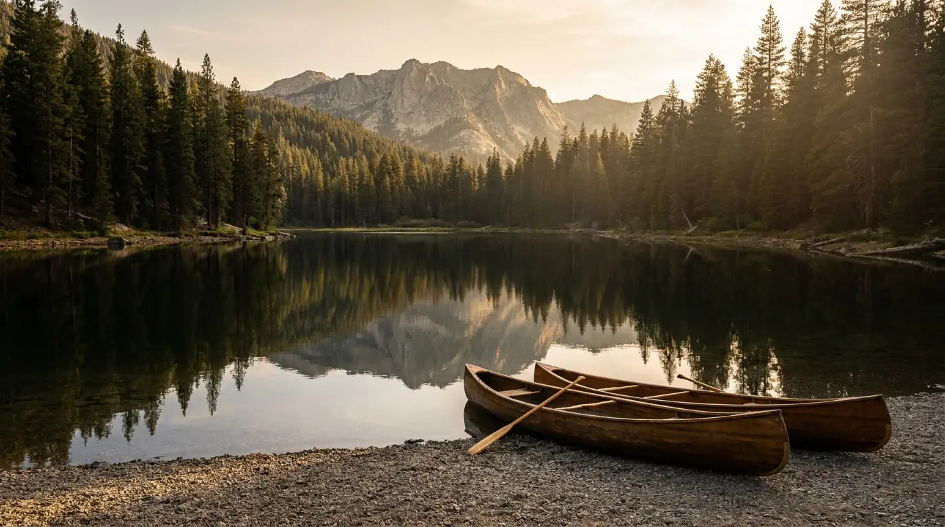
A long, forest-rimmed lake south of Stanley off SR-75, quieter than Redfish, with a reservable inlet campground, a boat ramp, swimming and paddling. The calm-water alternative to Redfish's bustle. Motorized use is limited, which paddlers appreciate.
A small, beautiful lake and the trailhead for the Alice–Toxaway loop. First-come camping and a $10 day-use fee at the trailhead. Swimming, kayaking and canoeing on a gorgeous, less-developed lake. Fills on summer weekends.
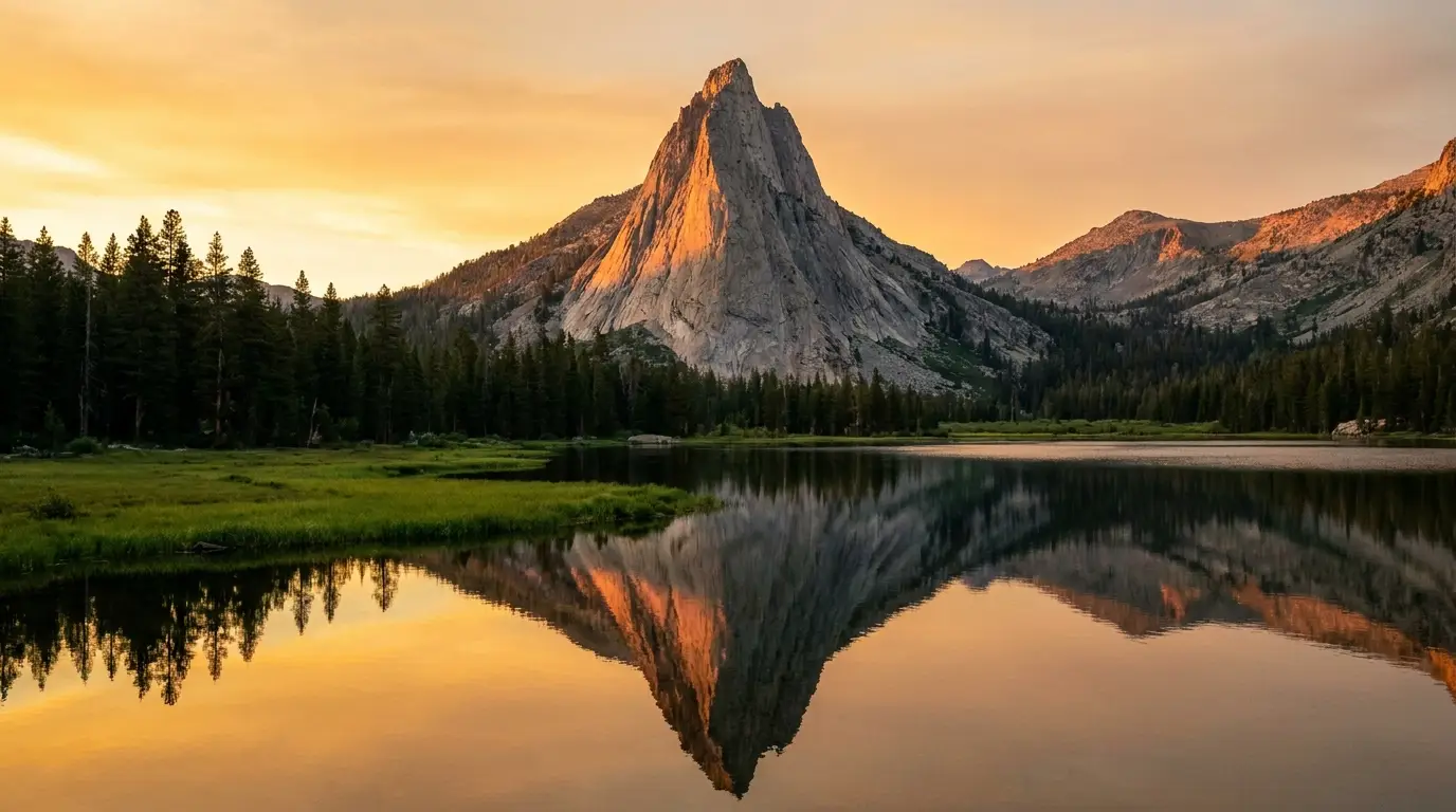
The reflection lake under McGown Peak, west of Stanley off SR-21, with a reservable campground, boat ramp and beach. Sunset here is the postcard. Also the trailhead for the Bridalveil Falls walk (§04).
⚠️ We give locations relative to Stanley rather than a pinpoint for the tubs themselves; the Boat Box tub is not reliably mapped and the exact turnout can change. Distances ("a few miles" / "about a dozen miles" east) are approximate — watch for the riverside pullouts.
The Sawtooths don't have a single famous killer peak or a timed-entry gate to organise your fears around. What they have is a set of quieter hazards that a national-park visitor is not primed for: nights genuinely cold enough to matter in July, thin air, late-summer smoke, fast-building afternoon storms above treeline, and real black-bear country. None of them is exotic. All of them reward planning.
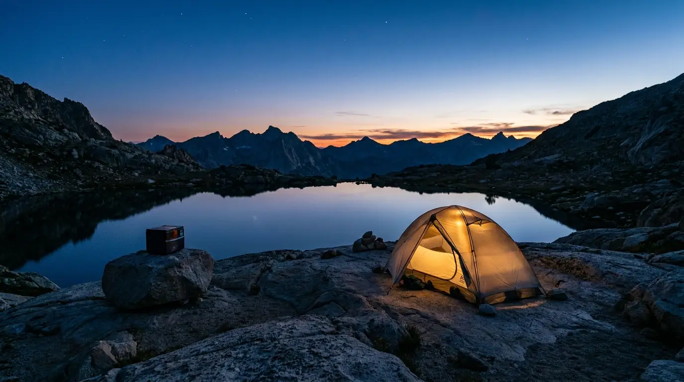
Stanley sits in a high basin that pools cold air, and it is regularly one of the coldest reporting stations in the Lower 48 on a summer morning. Frost — and occasionally a dusting of snow — is possible in any month, July included. The day-to-night swing is large: shirt-sleeve afternoons, near-freezing dawns.
Pack a real sleeping bag (rated well below what the daytime suggests), an insulated pad, a warm hat and a genuine insulating layer — for a summer trip. Car campers routinely get caught out here in gear that would be fine in the Rockies foothills.
You sleep at 6,200–6,900 ft and hike to 8,000–9,000+ ft. Acute mountain sickness can affect people arriving from low elevation regardless of fitness — headache, breathlessness, poor sleep. Take day one easy, hydrate hard, and don't fly in and summit the same day.
Afternoon thunderstorms build fast over the granite. The high lake basins are exposed, above treeline, with no shelter. Start alpine hikes early and be heading down by early afternoon. If caught out, avoid summits and lone trees, and get low.
Live: airnow.gov for air quality, Inciweb and Sawtooth National Forest alerts for fire and closures. Never assert a smoke condition in advance — check it the week you go.

The Sawtooths are black bear country (grizzlies are not established here). Black bears are rarely a danger to people, but a food-conditioned bear is a problem for everyone and often ends up dead. Store all food, trash and scented items secured — in a hard-sided vehicle out of sight in campgrounds, or a bear canister / proper hang in the backcountry.
If a black bear approaches, stand tall, make noise, and do not run; never leave food unattended at a picnic table. Report aggressive or habituated bears to the Forest Service.
Also out here: moose in the willow bottoms (give them a very wide berth), mosquitoes that are ferocious in June–July, and creek crossings that run high and cold in snowmelt.
Confirm current food-storage orders for the SNRA and Sawtooth Wilderness with the Forest Service — canister requirements and specific rules can change.
The SNRA has dozens of campgrounds, and the strategy comes down to one split: the developed lakeside sites are reservable on Recreation.gov up to six months out and sell out for summer weekends; a handful of smaller ones are first-come and fill by morning. Book the lakeside sites the day the window opens, or plan to be flexible and early. And note the fee confusion — two live sources disagree, so read the listing.
| Campground | Area · elev. | Sites | Booking | 2026 fee (confirm) | Notes |
|---|---|---|---|---|---|
| Glacier View | Redfish Lake · ~6,500 ft | ~64 (some doubles) | Reservation | ~$24–$26 / dbl ~$48–$52 | North shore; largest Redfish CG; RV & tent |
| Outlet | Redfish Lake · ~6,500 ft | reservable | Reservation | ~$24–$26 | By the lake outlet; popular; RV & tent |
| Point | Redfish Lake · ~6,500 ft | ~16 tent-only | Reservation | ~$24 | Tent-only, on a point of the lake |
| Mount Heyburn | Redfish Lake · ~6,500 ft | reservable | Reservation | ~$24–$26 | Slightly back from shore; RV & tent |
| Sockeye | Redfish Lake · ~6,500 ft | reservable | Reservation | ~$24–$26 | South-shore area; RV & tent |
| Chinook Bay | Redfish area · ~6,500 ft | small | Reservation | ~$24 | Little Redfish / Chinook Bay; quieter |
| Sunny Gulch | SR-75 nr Redfish turnoff | reservable | Reservation | ~$24–$26 | Across the highway from the lake; RV & tent |
| Stanley Lake | Stanley Lake (SR-21) | ~37 (loops) | Reservation | ~$24–$48 | Under McGown Peak; tents, RVs, groups |
| Alturas Lake Inlet | Alturas Lake · ~7,000 ft | ~28 (8 doubles) | Reservation | ~$22–$44 | Season ~June – Sep 21; quiet; RV & tent |
| Mormon Bend | Salmon River, SR-75 E of Stanley | reservable | Reservation | ~$24 | Riverside; near the hot springs / rafting put-ins |
| Iron Creek | Sawtooth Lake TH · ~6,700 ft | ~9 | First-come | ~$13–$18 | At the Sawtooth Lake trailhead; Scan & Pay; fills early |
| Pettit Lake | Pettit Lake · ~7,000 ft | small | First-come | site fee + $10 day-use | Alice–Toxaway trailhead; fills on weekends |
| Redfish Inlet Transfer Camp | South end of Redfish Lake | walk/boat-in | See notes | confirm | Reached by boat shuttle or the lakeshore trail; backpacker staging |
⚠️ Site counts, seasons and reservation status also shift year to year and some campgrounds run partial seasons. Confirm each on recreation.gov (gateway 1027) or the Sawtooth NF site before you rely on it.
Dispersed camping is allowed in much of the surrounding Sawtooth and Salmon-Challis National Forest under standard rules (stay on durable ground, pack out everything, follow any motorized-use and setback rules), but it is more restricted inside the SNRA corridor near the lakes and highway — some areas require designated sites. Check current SNRA dispersed rules and any fire restrictions before you free-camp.
Backcountry overnights in the Sawtooth Wilderness require a free, self-issued wilderness permit at the trailhead. Practice proper food storage (§06), camp on durable surfaces well back from lakeshores, and expect cold nights.
Fire restrictions are common in late summer and change through the season — confirm the current stage on the Sawtooth NF alerts page before planning any campfire.
This is the asymmetry to plan around. Ketchum / Sun Valley is a full-service resort town with grocery stores, a hospital, and some of the best gear and fly shops in the Rockies. Stanley is a town of roughly 100 people at the end of the road, with limited fuel, a small store or two, a handful of outfitters, and a big view. Stock up where the stocking is good.
⚠️ Stanley hours, seasonal opening/closing and fuel availability are volatile and were not confirmable business-by-business for 2026 — call ahead, and assume much of town is closed in the shoulder seasons and winter.
Approach-town rule: do your serious resupply and any gear rental in Ketchum. Treat Stanley as fuel-and-top-up, not a place to outfit a trip.
We confirmed no operator pricing — request current rates from each operator. McCoy's Tackle and Backwoods Mountain Sports are real, confirmed businesses whose own websites we could not fully verify at build time; the others' sites resolved cleanly.
The Sawtooth season is short and the trade-off is real: go early and the high trails are still under snow but the air is clear; go late and the trails are open but smoke may hide the very peaks you came for. Here's how the calendar actually breaks down.
Aim for mid-July to early August. By mid-July most of the snow is off the popular trails (Sawtooth Lake, Bench Lakes, the Alice–Toxaway loop), the shuttle and campgrounds are running, wildflowers are out, and air quality is usually still clear before the worst of smoke season. Accept two things: the nights will still be cold, and the mosquitoes will be present in the meadows.
Want fewer people and don't mind a gamble? Early-to-mid September is quiet and beautiful — if you dodge both smoke and the first snow.
Book accordingly: a July-weekend lakeside campsite means reserving in January when the six-month window opens (§07). Midweek is dramatically easier across the whole basin.
One workable shape, not the only one. It arrives stocked and sleeps low the first night to let your body adjust, front-loads an easy day, and uses the Redfish shuttle to make the high country a day trip. Adjust freely — but keep day one easy, start every alpine hike early, and confirm the shuttle and campground before you commit.
Run it before you leave. Tap each item as it's done — these are the things specific to the Sawtooths that a general road-trip habit will skip. Most of them come back to two facts: there's no park infrastructure to bail you out, and the basin is colder, higher and more remote than it looks.
Every guide has these. Most don't print them. Fees, hours, seasons and reservation status change yearly and were last checked 21 July 2026 — anything flagged below should be re-checked against the linked official source before you rely on it. In a region with no park website to centralise the truth, and where two live sources disagree on campground fees, a confident wrong answer costs more than an admitted gap.
Everything above, condensed into a print-ready PDF built for the glovebox — for a range with no park gate, no reliable cell signal, and a town that's colder than you think. The campgrounds with 2026 fees and which are first-come, the trail roster at real numbers, the Redfish shuttle, Galena Summit and the fuel gap, the Salmon River hot springs, the Stanley-versus-Ketchum service split, and the honest list of what nobody could confirm — on paper that works where the bars don't.
Every Trekkr Trail Journal is built like this one: custom logistics, honest trail beta, the camping and access detail, and the local knowledge that turns a good trip into the one your crew talks about for years — including, always, a plain list of what we could not confirm. New destinations drop all season long, from the BC corridors to the Oregon Cascades to the Idaho Sawtooths.
Unlock the Trail Journal Library