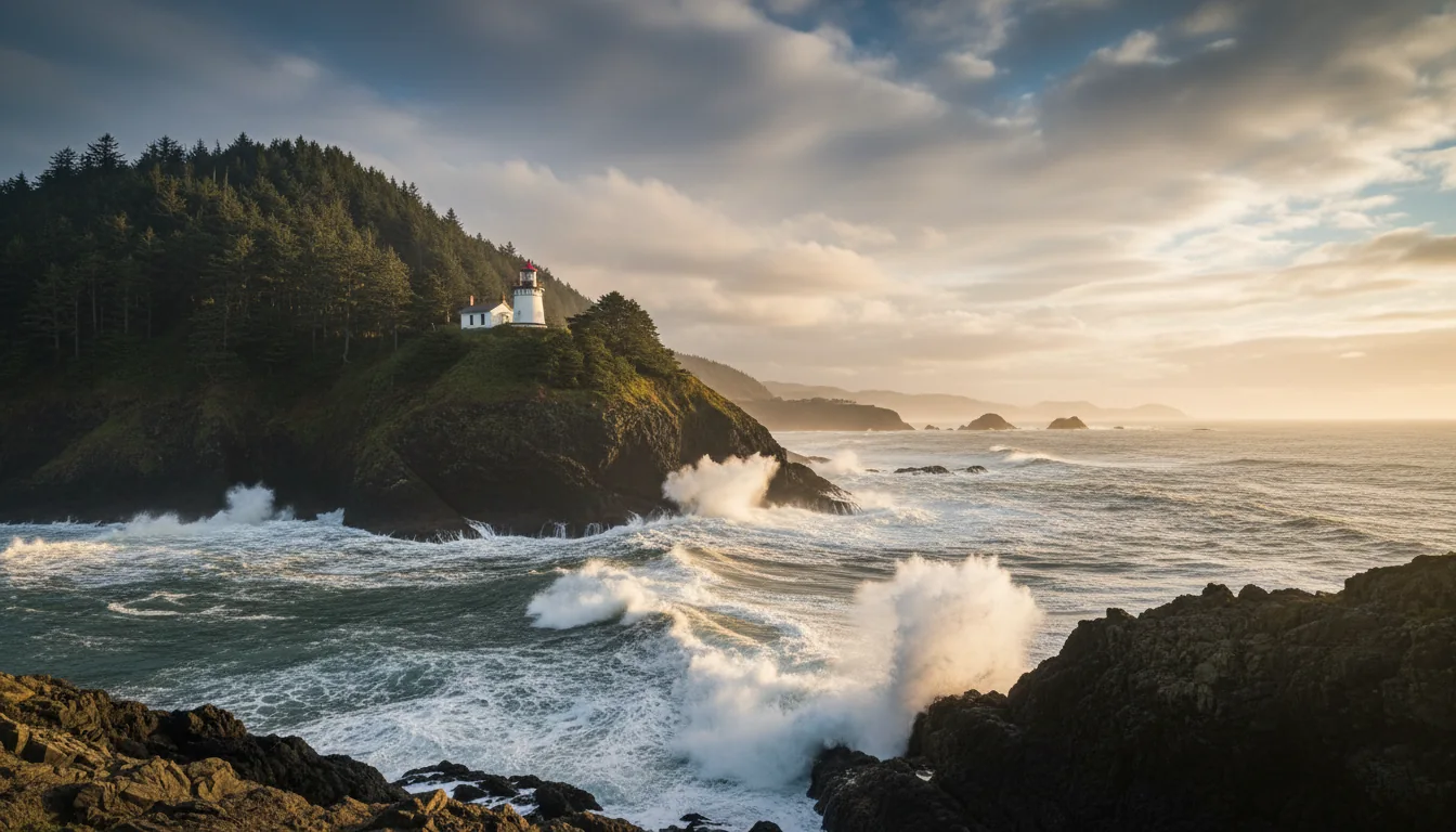
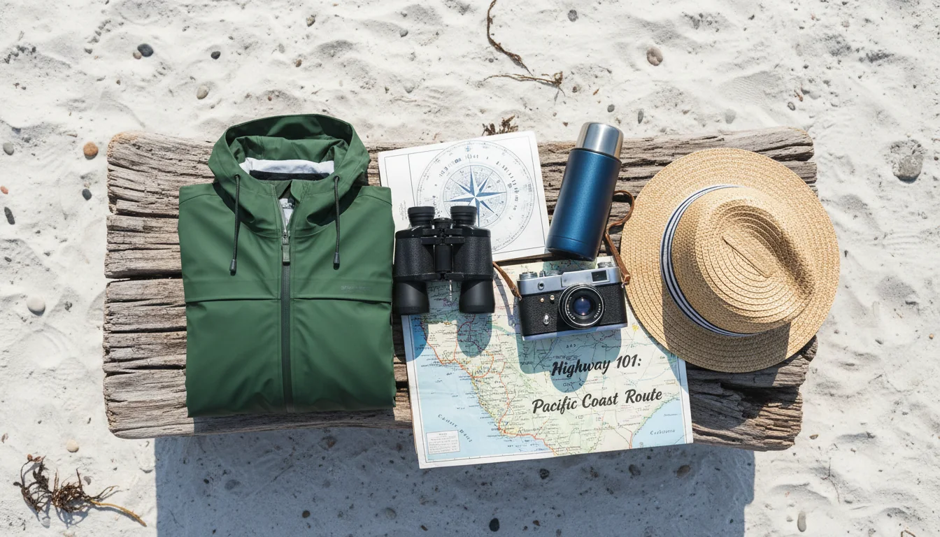
US-101 runs the whole Oregon shore as the Pacific Coast Scenic Byway, and it is the rarest kind of road trip: one where every foot of beach is public by law, since 1967, so you can pull off and walk almost any of it. This issue covers the northern 255 miles — Astoria to Bandon — the lighthouses and dunes and whale-watching hubs, the camping across roughly fourteen campgrounds, and the sneaker-wave and tsunami safety that this coast makes non-negotiable.
The rest of this journal is evergreen; this box is not. Everything below is dated to the day we checked it, and the most perishable items on this coast — a park closure, the parking-fee list, whale-week dates, surf advisories — change faster than any printed guide. Each item points you at the live source. Trust the link, not our date stamp.
US-101 runs the entire Oregon length of the coast — 363 miles from the California line at Brookings to the Washington line at Astoria — and the whole Oregon stretch is the Pacific Coast Scenic Byway, designated an All-American Road in 2002, the highest federal scenic-byway tier, after National Scenic Byway recognition in 1998. This issue covers the northern ~70% of it: Astoria to Bandon, roughly 255 miles. In that distance you pass the mouth of the Columbia, the most photographed sea stack on the coast, a cheese factory that draws over a million visitors a year, the tallest and the brightest lighthouses in Oregon, America's largest sea cave, the largest coastal dunes in North America, and a whale-watching town that calls itself the smallest navigable harbor in the world.
But the fact that makes this a road trip rather than a drive-by is a legal one. In 1967 Oregon made the entire ocean shore public — every beach, by statute — and that is the spine this whole guide hangs on. It means you can pull off almost anywhere and walk down to the water. It is also why the safety section carries the weight it does: a public beach is an unsupervised beach, and this coast's hazards — sneaker waves, cold water, a subduction-zone tsunami risk — do not come with lifeguards. We lead with access and we close with survival, and both come from the same fact.
This is a stop-every-few-miles highway, not a transit route. It drops to two lanes with curves and coastal-town speed zones, it fogs in, and elk and deer cross it at dusk. Plan the days short, drive the scenic cliffs in daylight, and treat every leg distance below as an estimate — because the official ones do not exist.
| Leg | Approx. miles ⚠️ | What's on it |
|---|---|---|
| Astoria → Seaside | ~17 | The first resort town; Lewis & Clark's salt works |
| Seaside → Cannon Beach | ~9 | Haystack Rock and the Ecola State Park cluster |
| Cannon Beach → Tillamook | ~36 | The Three Capes side loop branches here |
| Tillamook → Lincoln City | ~44 | The creamery, then the "20 miles of beach" town |
| Lincoln City → Newport | ~24 | Passes Depoe Bay (whales) and Yaquina Head |
| Newport → Florence | ~65 | The longest single leg — Yachats, Cape Perpetua, Heceta Head, Sea Lion Caves en route |
| Florence → Coos Bay / North Bend | ~50 ⚠️ | Through the Oregon Dunes. The chart's ">65" figure looks high — treat as unresolved |
| Coos Bay → Bandon | ~25 ⚠️ | The Shore Acres / Cape Arago spur is off this leg |
| Astoria → Bandon (full) | ~255 mi | About 5.5 hours non-stop — but nobody drives it in a day. Plan 3–5 days |
Source honesty: these leg distances come from a secondary coast mileage chart that states its own figures are "approximate and can change depending on what route is taken," derived from road signs — not official ODOT milepost distances, which we could not obtain. The Florence→Coos Bay row is internally inconsistent (a returned ">65 mi" figure conflicts with the commonly understood ~50 mi and with the corridor total), so we flag it unresolved rather than pick one. The ~255-mile total is the one figure we'll stand behind loosely, and even it is secondary. Measure each leg off ODOT mileposts before you rely on a distance.
Three driving realities shape the days. Coastal fog is dense on winding cliff sections, worst late afternoon and evening — drive the scenic bits in daylight. Roosevelt elk and deer are most active at dawn, dusk and night, notably around the Siuslaw River / Siltcoos Lake stretch and the Dean Creek Elk Viewing Area near Reedsport; avoid night driving where you can. And summer congestion turns the highway to slow-and-go through Cannon Beach, Lincoln City and Newport — a two-lane road runs through every downtown.
Live conditions: ODOT TripCheck (tripcheck.com) for real-time road, weather and closure info. We print no specific camera links — check the source on the day.
Do not pack for "summer beach." Even in peak season the Oregon coast is breezy and cool — highs generally in the 60–70°F range, lows in the 50s, not the 80s inland — and most days carry a wind speed above 15 mph, which matters for high-profile rigs and awnings. Mornings are frequently cloudy or foggy, burning off to sun in the afternoon. Pack layers, not just shorts.
These weather generalizations come from travel/tourism sources, not a single NWS climate-normals page — treat them as directional. Full seasonal detail is in §14.
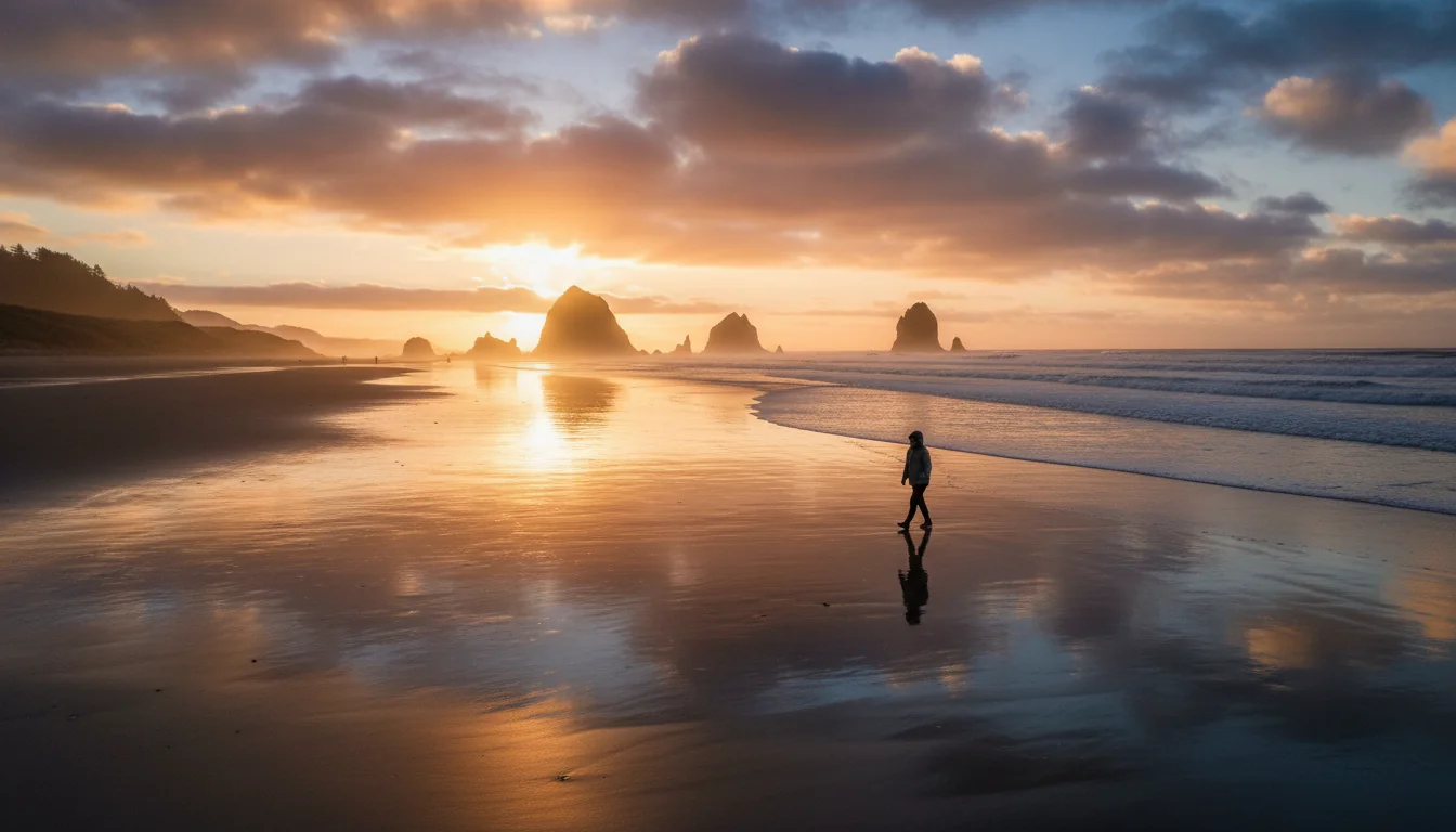
Every foot of Oregon's ocean shore is open to the public, by law, and it has been since 1967. This is the reason the whole route works as a pull-off-and-walk road trip — and the story starts in a town right on our corridor.
The 1967 Oregon Beach Bill established public ownership of the shore from the water up to sixteen vertical feet above the low-tide mark, and recognized public easements to the vegetation line regardless of who owns the adjacent property. The law grants the public "free and uninterrupted use of the beaches." It passed in June 1967 and was signed by Gov. Tom McCall on 6 July 1967.
Practically, that is the license behind this entire guide: pull off, walk down, the sand is yours. Ongoing management is by the Oregon Parks and Recreation Department. There is no coastal-access permit — the beach itself is free.
We cite the Beach Bill from Wikipedia here because the primary Oregon Encyclopedia article returned an access error to our researcher — a human should read the primary article, but the statute and dates are well-established.
The trigger was local and it was on our route: in the summer of 1966 a Cannon Beach motel owner fenced off a strip of dry sand for private use, forcing the question of who owns the beach. The fight that followed produced the bill.
The stunt worth retelling: on 13 May 1967, Gov. McCall flew "two helicopters to the beach with a team of surveyors and scientists," generating the media coverage that produced overwhelming public demand for the bill. It is the kind of political theatre that actually changed the map — and it happened in the same towns you'll drive through in §04.
The route opens at the mouth of the Columbia with a painted column on a hill, runs down to the coast's signature sea stack, and hits what may be the most photographed viewpoint on the whole shore — all in the first ~26 miles.
The Astoria Column is a 125-foot concrete-and-steel tower on Coxcomb Hill, built in 1926, with a 164-step interior spiral staircase to a top observation deck. Its exterior sgraffito frieze runs about 525 feet long and 7 feet wide, depicting early Pacific-Northwest history; it was listed on the National Register in 1974. Financed by the Great Northern Railway and Vincent Astor.
Astoria sits at the mouth of the Columbia and at the Lewis & Clark terminus — Fort Clatsop and the Lewis & Clark National Historical Park are here.
The often-repeated "oldest American settlement west of the Rockies" line we could not verify against a primary source this pass — treat it as a claim, not a fact.
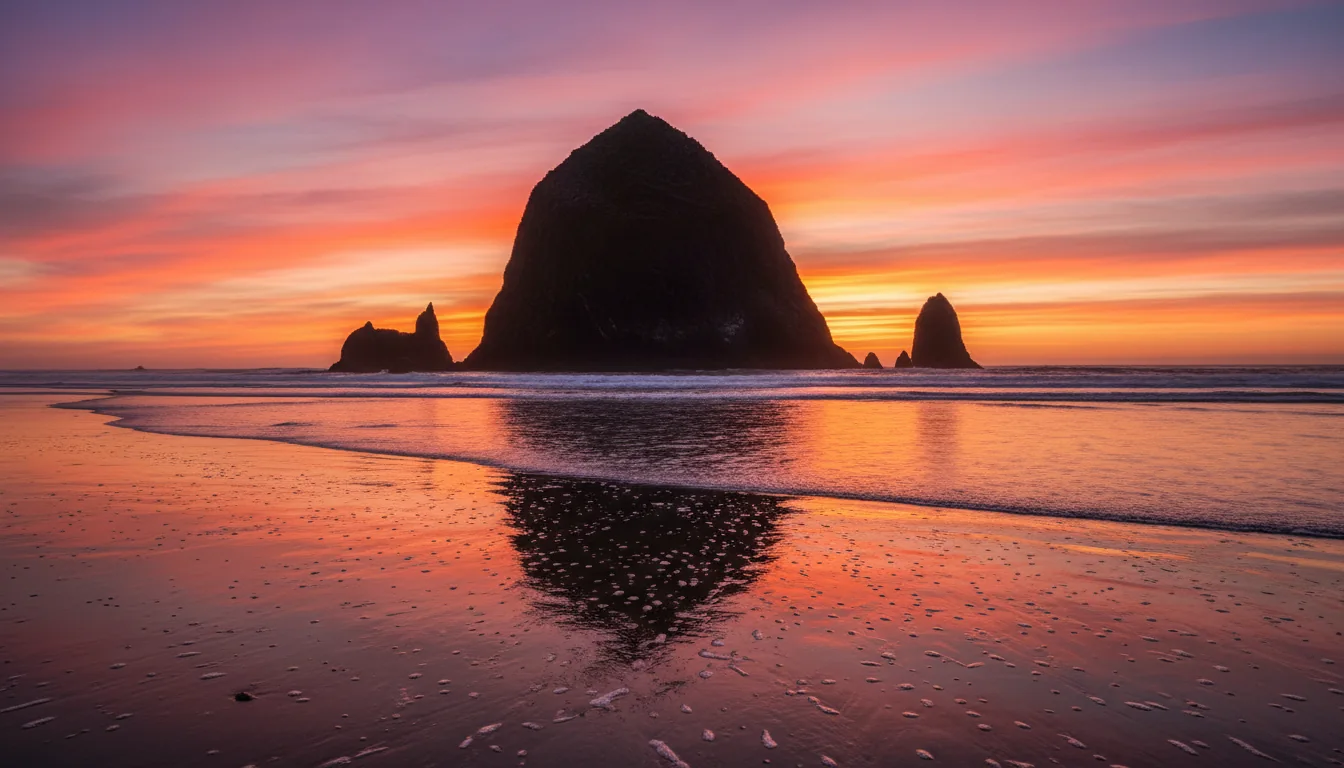
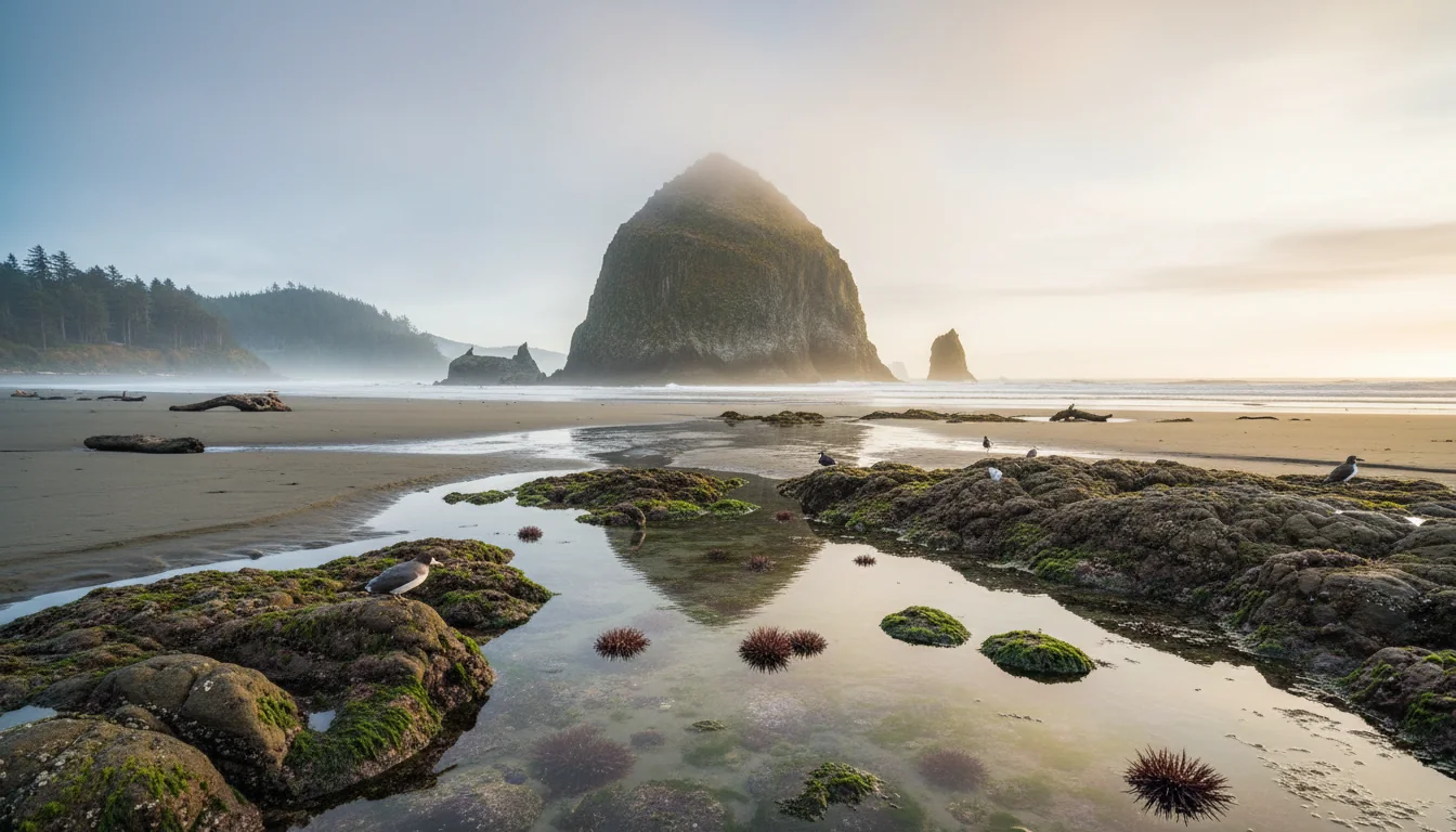
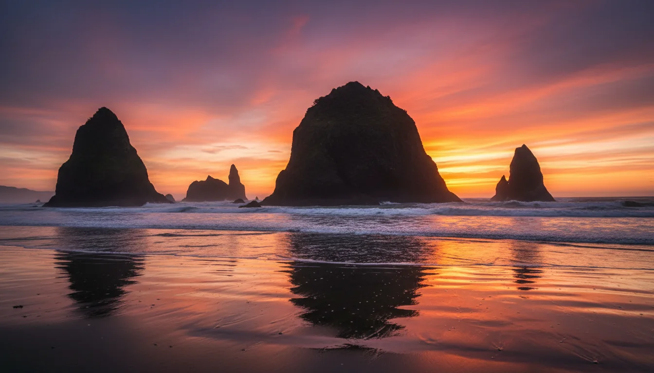
Haystack Rock rises 235 feet out of the sand at the tideline. It was granted Marine Garden status in 1990 and is one of Oregon's seven Marine Gardens; it sits within Tolovana Beach State Recreation Site, and the area below mean-high-water is managed by Oregon Parks. It hosts nesting seabirds — including tufted puffins — in summer, and intertidal life year-round.
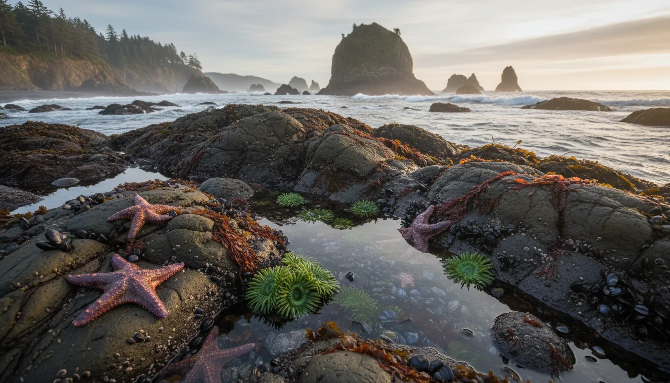
Tidepool etiquette: it's a protected Marine Garden. Look, don't take. And read §15 before you walk out onto the rocks — a rising tide around the base is exactly the situation that strands people.

Just north of Cannon Beach, Ecola stretches about 9 miles along the coastline; the key stops are Ecola Point and Indian Beach (surfing and tidepools). Ecola Point is widely cited as one of the most photographed viewpoints on the coast — Haystack Rock to the south, "Terrible Tilly" to the west.
That lighthouse offshore is Tillamook Rock Lighthouse ("Terrible Tilly"), on a basalt island about a mile out, operated 1881–1957, visible from Ecola's viewpoints and the Tillamook Head / Clatsop Loop trails.
History and film hooks: Ecola and Indian Beach appeared in The Goonies (1985), and Capt. William Clark with 12 of the Corps of Discovery crossed here in 1806 seeking a beached whale near present-day Cannon Beach.
Ecola detail here comes from secondary aggregators quoting the Oregon State Parks profile — the official park page did not render for our researcher. Treat the trail specifics as a starting index; verify mileage on stateparks.oregon.gov before a long walk.
Tillamook is the classic free stop on the route, and just west of it a scenic loop hits three headlands. One of those capes carries this issue's single hardest logistical fact — the August closure in §00 — so plan the loop with that in hand.
The co-op — the Tillamook County Creamery Association — was founded in 1909. The visitor center draws over 1.3 million visitors a year, up to 17,000 a day in summer, in a 38,500-square-foot building. Admission is free, the tour is self-guided, and there are free cheese samples at the end.
The visitor-count and square-footage figures trace to secondary summaries of the official page; the free-admission / self-guided / samples facts are consistent across sources. Confirm the stats on tillamook.com if they matter to you.
About 10 miles west of Tillamook, Cape Meares State Scenic Viewpoint holds the shortest lighthouse on the Oregon coast at 38 feet, first lit 1 January 1890 with a kerosene-powered lens. The "Octopus Tree," a multi-trunked Sitka spruce with a roughly 50-foot base and no central trunk, is about 0.1 mile from the lot. There are about 3 miles of easy-to-moderate trails, plus whale and sea-lion viewing.
Cape Meares is among the coast parks named in 2026 news coverage of the new day-use fee list, though only Umpqua Lighthouse is confirmed on it for our route — check the parking map (§13).
We did not pull primary detail on Cape Kiwanda or on Cape Lookout's day-use trails this pass — treat any specifics from other sources as "confirm before printing." The closure notice, by contrast, is verified directly off the official Cape Lookout page.
The middle of the corridor is where the superlatives cluster: a beach town that flies kites, the self-styled smallest navigable harbor in the world and the whale-watching hub, and Oregon's tallest lighthouse. It's also the stretch to slow down and actually watch the water.
Known for about 7 miles of broad, flat beach and billed as a "Kite Capital," with summer (June) and fall (October) kite festivals at the D River Wayside. The D River — Devils Lake to the ocean — was once billed the world's shortest river at about 120 feet, losing the title to Montana's Roe River in 1989.
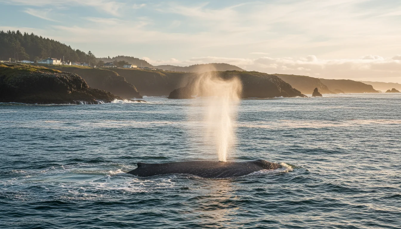
"World's smallest navigable harbor" — about 6 acres, with a 50-foot-wide channel to the ocean — and the self-styled "Whale Watching Capital of the Oregon Coast." The Oregon State Parks Whale Watching Center sits right on the seawall with a large viewing deck, open year-round. Full whale windows are in §09.
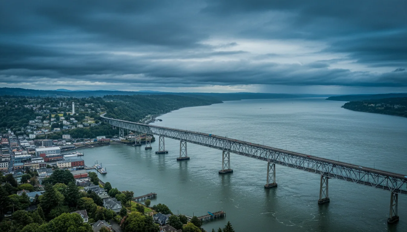
The Yaquina Bay Bridge — a Conde McCullough Art-Deco span — opened in 1936. The Historic Bayfront runs one of Oregon's largest commercial fishing fleets, with galleries, chowder houses and working fish plants. The Oregon Coast Aquarium opened in 1992 and had welcomed 14M+ visitors as of 2019.
Just north of Newport, Yaquina Head Lighthouse is Oregon's tallest at 93 feet, first lit 20 August 1873, with 114 interior steps and built from 370,000+ bricks. It sits within the Yaquina Head Outstanding Natural Area (BLM, designated by Congress in 1980), with cobble tidepools and seabird colonies.
Don't conflate this with Newport's separate Yaquina Bay Lighthouse, an in-town historic light at Yaquina Bay State Recreation Site — we did not verify its specifics this pass, so confirm before relying on details for it.
The central coast is the whale hot-spot, and Depoe Bay's seawall Whale Watching Center makes it the easiest place to look. But the same headlands that make good viewpoints — the Yaquina Head shelf, the tidepool rocks — are sneaker-wave terrain. Treat the viewing platforms as the safe distance and the wet rock below them as the hazard. §15 has the full rule set; the short version is never turn your back on the ocean.
Just south of Yachats the coast turns theatrical: the highest viewpoint you can reach by car, a hole in the basalt that appears to drain the ocean, and a rock shelf that is genuinely dangerous. This is where the "best photo" and the "highest risk" happen at the same moment of the tide.
The Cape Perpetua Scenic Area is a roughly 2,700-acre protected headland managed by the U.S. Forest Service (Siuslaw National Forest), about 2 miles south of Yachats. The Cape Perpetua Overlook is the highest point on the Oregon coast reachable by car, at about 800 feet, with views up to roughly 70 miles of coastline and ~37 miles out to sea on a clear day.
Below the overlook, a network of trails threads the rock shelf past Thor's Well, Devil's Churn and the Spouting Horn.
A federal Northwest Forest Pass / America the Beautiful pass may be required at some Siuslaw NF day-use sites — that's a different system from Oregon's state-park parking permit (§13). We could not enumerate which Perpetua/Dunes trailheads charge; check on site.
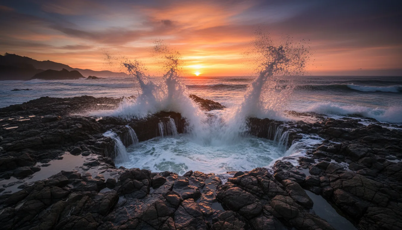
Thor's Well is a bowl-shaped hole in the basalt that appears to "drain the ocean," and it is most dramatic at or near high tide. Here is the trap, stated plainly: high tide is both the best time for the photograph and the most dangerous time to be out on the shelf.
Thor's Well and the whole Perpetua rock shelf are sneaker-wave and slippery-basalt terrain. Watch the sets from a safe distance for a full 20 minutes before you commit to a position, keep your eyes on the water the entire time, and accept that the incoming tide that fills the well is the same water that will take you off the rock. §15 is the reason this box exists.
The southern half of the corridor is the biggest scenery per mile: the brightest light on the coast, America's largest sea cave, forty miles of the tallest dunes in North America, a storm-watching garden, and a finish among sea stacks and puffins at Bandon.
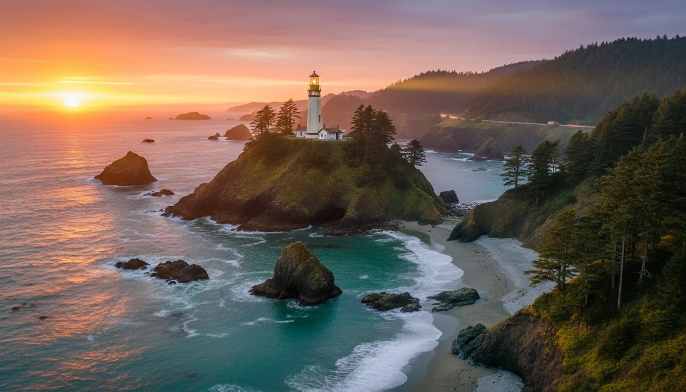
North of Florence, Heceta Head carries a First-Order Fresnel lens 205 feet above the ocean, historically the brightest light on the Oregon coast, visible about 21 miles out to sea; built 1892–93, National Register 1978. Managed by Oregon State Parks as Heceta Head Lighthouse State Scenic Viewpoint. It's widely called "the most photographed lighthouse in the U.S." — the classic shot is from the Cape Creek pullout.
Two honesty flags: the "most photographed" line is a marketing claim, not a measurement — we present it as a claim. And a 2025 report said the light went dark awaiting repairs — verify current lit/dark and access status before you build the "brightest light" pitch around it (§00).
Between Heceta Head and Florence, the privately operated Sea Lion Caves is America's largest sea cave (Guinness-recognized) — about 2 acres and roughly 12 stories high — and the only known mainland rookery of the Steller sea lion. An elevator descends 208 feet (a 23-passenger Otis, completed June 1961). Paid admission.
Florence itself sits at the mouth of the Siuslaw River, midway between Newport and Coos Bay, with a Historic Old Town on the riverfront and another Art-Deco 1936 McCullough span, the Siuslaw River Bridge.

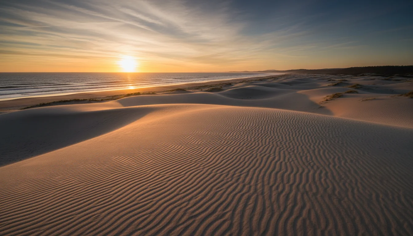
Between Florence and Coos Bay lies the largest expanse of coastal sand dunes in North America, stretching about 40 miles from the Siuslaw River south toward the Coos River, with some dunes reaching about 500 feet above sea level. It's part of Siuslaw National Forest, designated a National Recreation Area by Congress in 1972 (~31,500 acres).
This is also the heart of the corridor's OHV scene — expect ATV and dune-buggy traffic and noise around the Dunes campgrounds (§11). Camping in the dune belt is reservation-only through the Forest Service — there's no first-come option (§11).
The general "~500 ft" dune height is solid; a named "highest dune" claim came from a search summary and is not verified — we print the general figure only.
Coos Bay is the most populous city on the Oregon coast (pop. 15,985, 2020 census); with adjacent North Bend (pop. 10,317) it forms "Oregon's Bay Area." Southwest of town, off the Cape Arago Highway, a three-park cluster — Sunset Bay, Shore Acres and Cape Arago State Parks.
Shore Acres State Park, about 13 miles SW of Coos Bay, holds 5 acres of formal botanical gardens on the former Louis Simpson estate and a fully enclosed observation building for winter storm watching (dramatic wave action Dec–Feb) and whale viewing Dec–June. It's one of the best-known storm-watching sites on the coast — a genuine off-season, winter-travel draw.
The route ends among sea stacks. The Coquille River Lighthouse at the river mouth was built 1895–96, first operated 29 February 1896. Face Rock State Scenic Viewpoint overlooks a field of sea stacks and offshore islands — Face Rock, Table Rock — part of the Oregon Islands National Wildlife Refuge.
Coquille Point in Bandon is the only mainland unit of the Oregon Islands NWR, open year-round, home to 13 seabird species including tufted puffins, common murres and black oystercatchers. Face Rock legend, puffins and the lighthouse make the natural closing scene for the trip.
Two gray-whale migrations bracket the year, and a resident group fills the summer. The windows below are quoted verbatim from Oregon State Parks and are reliable; the organized Whale Watch Week dates are the part to double-check.
Oregon State Parks, verbatim: "In the winter we watch thousands of gray whales from mid-December through mid-January" as they head to Baja.
"Spring watching begins in late March as the gray whales travel north on their way towards Alaska." Northbound sightings continue through June.
"Approximately 200 gray whales remain in Oregon's coastal waters during summer months. The central coast in particular is a hot-spot for whales from June to mid-November."
The best base is Depoe Bay — the Whale Watching Center on the seawall (§06) — and the central coast generally. Oregon State Parks "places volunteers at 15 whale watching sites in the winter and spring" and runs organized Whale Watch Weeks in late December and late March. An estimated ~25,000 gray whales migrate past Oregon each spring and fall.
The specific spring-2026 dates we found (reported as 21–29 March 2026) came from a charter operator's page, not the state site — confirm on orwhalewatch.org or stateparks.oregon.gov before planning around them. The whale windows above are the reliable part.
Whale watching pulls people to the edge of the same headlands and seawalls that the safety section is about. Use the built viewing decks — the Depoe Bay center's deck, the Shore Acres observation building, the Cape Perpetua overlook — rather than scrambling out onto wet rock for a closer look. The whales are the same distance from the platform, and the platform doesn't get swept.
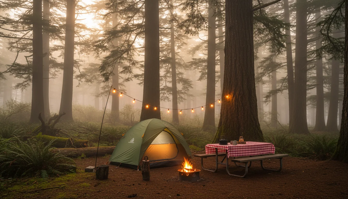
Nine OPRD campgrounds anchor this corridor, all open year-round except the one that closes in August. The counts below are the best we could get without a live booking page — read the sourcing caveat, because it governs how much to trust each number.
| Park (nearest town) | Total | Full hookup | Elec+water | Tent | Yurts / cabins | Season |
|---|---|---|---|---|---|---|
| Fort Stevens Hammond / Astoria |
476 ⚠️ | 174 | 302 | 6 | 15 yurts · 11 deluxe cabins | Year-round |
| Nehalem Bay Manzanita |
265 | 0 | 265 (30/50-amp) | 0 | 18 yurts | Year-round |
| Cape Lookout Netarts / Tillamook |
~209 | 38 | 1 | 170 | 13 yurts · 6 deluxe cabins | Closes 3 Aug 2026 |
| Beverly Beach Newport / Otter Rock |
281 ⚠️ | 53 | 75 | 128 | 21 yurts | Year-round |
| South Beach Newport |
~317 | 0 | 227 | 60 | 27 yurts | Year-round |
| Jessie M. Honeyman Florence |
416 | 47 | 121 | 187 | 10 yurts | Year-round |
| Umpqua Lighthouse Reedsport / Winchester Bay |
~43 | 12 | 8 | 23 | 8 yurts · 2 rustic cabins | Year-round |
| Sunset Bay Coos Bay / Charleston |
~132 | 25 | 33 | 66 | 8 yurts | Year-round |
| Bullards Beach Bandon |
~185 + horse camp | 103 | 82 | 0 | 13 yurts | Year-round |
Operator for all nine: Oregon Parks & Recreation Department (OPRD). All year-round except Cape Lookout. Notable extras from the park detail: Fort Stevens adds 9 primitive walk-in sites and a hiker/biker camp and is "one of Oregon's busiest campgrounds"; Nehalem Bay's yurts include 9 pet-friendly; Honeyman is Oregon's second-largest campground, and Oct–Apr ATVs can drive onto the dunes from its H Loop; Umpqua Lighthouse's cabins overlook Lake Marie and it is the one route park confirmed on the 2026 day-use fee list (§13); Bullards adds an 8-site primitive horse camp with corrals and 11 miles of trails, 2 miles north of Bandon.
Confirmed off the official page: 38 full-hookup, 170 tent (water nearby), 1 elec+water, 13 yurts (6 pet-friendly), 6 deluxe cabins (3 pet-friendly), plus a group tent area and hiker/biker camp. Full-hookup driveways run 37–60 ft. And the fact that governs any post-summer plan: the day-use area AND campground close 3 August 2026 for construction, with no reopening date published.
Treat Cape Lookout as unavailable for any itinerary after 3 Aug 2026 until OPRD posts a reopen date. This is the only per-park record here we fetched directly — trust it accordingly.
Between Florence and Coos Bay the state parks braid together with a set of U.S. Forest Service campgrounds along the ~40-mile dune belt. The one rule that catches people: there is no first-come/first-served here at all.
Only Eel Creek and Horsfall were fetched and confirmed directly. The others come from search summaries — the Forest Service's own site returned an access block to our researcher. Confirm each on Recreation.gov before recording. And note the fee increases below are "proposed/under consideration" — the $22–$25 figures are current; the $28–$32 figures are not yet in effect.
| Campground | Sites | Fee (current) | Reserve? | Verified how |
|---|---|---|---|---|
| Eel Creek (Lakeside) | 51 | $22/night (⚠️ proposed →$28) | Reservation-only | Fetched directly ✅ |
| Horsfall (North Bend / Coos Bay) | 70 | $25/night (⚠️ proposed →$32) | Reservation-only | Fetched directly ✅ |
| Bluebill (Horsfall area) | 18 ⚠️ | ~$22/night ⚠️ | Reservation-only | Search read only |
| Tahkenitch (Reedsport area) | 23 ⚠️ | $22–$44 ⚠️ | Reservation-only | Search read only |
| Horsfall / Umpqua sand camping | dispersed | $10–$20 ⚠️ | Reservation-only | Search read only |
Operator: U.S. Forest Service, Siuslaw National Forest. Rig note: Horsfall sites are Standard / RV-nonelectric (no hookups), and these are OHV-scene campgrounds — expect ATV and dune-buggy traffic and noise. With the nine state parks in §10, that's roughly fourteen campgrounds tabulated across the corridor — the basis for the "~14" figure in the hero and in the finder record.
Two systems, two booking sites: Oregon State Parks runs ReserveAmerica on a six-month window; the Dunes run through Recreation.gov. Fees vary park to park and season to season, so we give a ballpark and tell you where the numbers are soft.
Booking fee is unresolved: an $8 booking/reservation fee is commonly cited (Beverly Beach page) while the FAQ describes a $10 non-refundable service fee on cancellation. These may be the same fee described two ways, or two different fees — confirm the exact current number on reserveamerica before you budget.
Two directly-sourced examples give the range. Beverly Beach (search read of reserveamerica): standard $35, full-hookup RV $37, tent $23, yurt $52–$62, hiker/biker $8/person, extra vehicle $7/night, booking fee $8. Cape Lookout (search read): full-hookup RV $33–$37, yurt $47–$62, deluxe cabin $96–$106.
The ballpark for planning: tent ~$23, electric ~$35, full-hookup ~$37, yurt ~$47–$62, deluxe cabin ~$96–$106, plus an ~$8 booking fee. Dunes (USFS): ~$22–$25/night currently, with proposed increases not yet in effect (§11).
🔴 Do not publish a single fee table as authoritative — Oregon adjusts these and they differ park to park. For finder records, pull the current fee off each reservation page (which we could not fetch). The figures here are directional examples, flagged as such.
Oregon raised its day-use parking permit prices and added 22 more parks to the paying list on 30 March 2026. Most parks are still free — but the ones that aren't hide behind a map, so the honest instruction is: check before you assume.
Per OPRD's own page, "an additional twenty-two parks will require a parking permit starting March 30, 2026." Coast parks named in the news coverage include Umpqua Lighthouse, Cape Blanco, Carl G. Washburne, Agate Beach, Devil's Punchbowl, Fogarty Creek, Oceanside and Cape Meares, among others.
The trap: the official page does not list the parks inline — it points to an interactive map. On our route, of the nine campground parks, only Umpqua Lighthouse is confirmed on the new fee list. We could not confirm whether Fort Stevens, Nehalem Bay, Beverly Beach, South Beach, Honeyman, Sunset Bay or Bullards Beach charge day-use parking.
Summer is driest and busiest; the shoulders trade crowds for rain odds; winter is storm-watching season. None of it is the "beach weather" the word "coast" implies — this is a cool, breezy, layered-up shoreline even at its warmest.
July and August are the driest; September is a local favorite for warm days and thinner crowds. Highs generally 60–70°F, lows in the 50s. Book far ahead (§12).
Fewer crowds, easier reservations, higher rain odds, some loops on first-come. A reasonable trade for anyone flexible.
December and January are wettest, cited around ~15 inches per month ⚠️ versus near-nothing in July/August. This is also storm-watching season — Shore Acres (§08) is the marquee site.
All weather generalizations here are from travel/tourism secondary sources, not a single NWS climate-normals page — treat them as directional, not precise. The "~15 in/month" winter rain and "15 mph most days" wind figures are the softest of them.
A public beach is an unsupervised beach. This coast's hazards do not come with lifeguards, and the most important of them behaves nothing like people expect. Read this before anyone in your party walks onto the sand.
The NWS issues Sneaker Wave and High Surf advisories for this coast, most often fall through winter — but a sneaker wave can arrive on any day, in any season, without warning. That is the entire point of "never turn your back."
From the NWS: "Rip currents often form on calm, sunny days" — great weather for the beach does not always mean it's safe to swim. If you're caught, swim parallel to shore to escape the pull, then angle back in once you're free of it.
And the structural fact behind it: Oregon beaches are largely unguarded. The NWS notes drowning risk is far lower where lifeguards exist — which most of this coast is not.
The full "how to escape" text lives on NWS sub-pages we did not fetch — read weather.gov/safety/ripcurrent directly for the complete guidance before you swim.
Oregon has two high and two low tides daily. 🔴 Know the tide before you walk out onto rocks, into caves, or around headlands — a rising tide strands people against cliffs and around sea-stack bases like Haystack Rock.
Oregon State Parks publishes official 2026 tide tables in three regional booklets — North, Central and South Coast — as free PDF downloads. Grab the one for your stretch, or use NOAA Tides & Currents.
A caveat worth carrying: NOAA predictions are "least accurate during storms and extreme high and low tide periods" — exactly the conditions that matter most.
The self-rescue rule for a LOCAL quake: if you feel a long or strong earthquake at the coast, do not wait for a siren — move to high ground immediately. A local Cascadia tsunami can arrive in ~15–20 minutes. A steady three-minute siren is the official evacuate signal. Note the evacuation route when you check into any coastal campground, and use the DOGAMI "Beat the Wave" evacuation maps for each town to plan it in advance.
Most of this is a normal coastal-road loadout. What's different here is driven by four facts: the water is cold and unguarded, the weather is cooler and windier than "beach" implies, summer sites sell out months ahead, and the whole shoreline sits in a tsunami zone.
Built around the constraints rather than a wish list: where the serviced beds are, what closes when, the season you're travelling, and the fact that summer books out months ahead. Each shape names what you must book and what will ruin it.
Run it the night before. Tap each item as it's done — these are the twelve things specific to this coast that a general road-trip habit will skip.
Every guide has these. Most don't print them. This is the consolidated list of what we could not stand up, what we deliberately withheld, and where the numbers you'll see elsewhere come from — because on a coast where a confident wrong number costs a reader a stranded rig or worse, an admitted gap is the honest product.
Everything above, condensed into a print-ready PDF built for the glovebox — for a coast where the water is cold and unguarded, the marquee campgrounds sell out months ahead, and the tide decides whether a headland walk is a photo or a rescue. The 1967 Beach Bill that opens every beach, the Cape Lookout closure and the 2026 parking-fee change, the nine state parks and the Dunes campgrounds with their real counts and caveats, the whale windows, the lighthouse-by-lighthouse run south, and the sneaker-wave, rip-current and tsunami rules quoted straight from the NWS — plus the honest list of what nobody publishes.
Every Trekkr Trail Journal is built like this one: custom logistics, honest trail and beach beta, the camping and access detail, kit lists and the local knowledge that turns a good trip into the one your crew talks about for years — including, always, a plain list of what we could not confirm. New destinations drop all season long; this is our first issue down the Pacific coast.
Unlock the Trail Journal Library