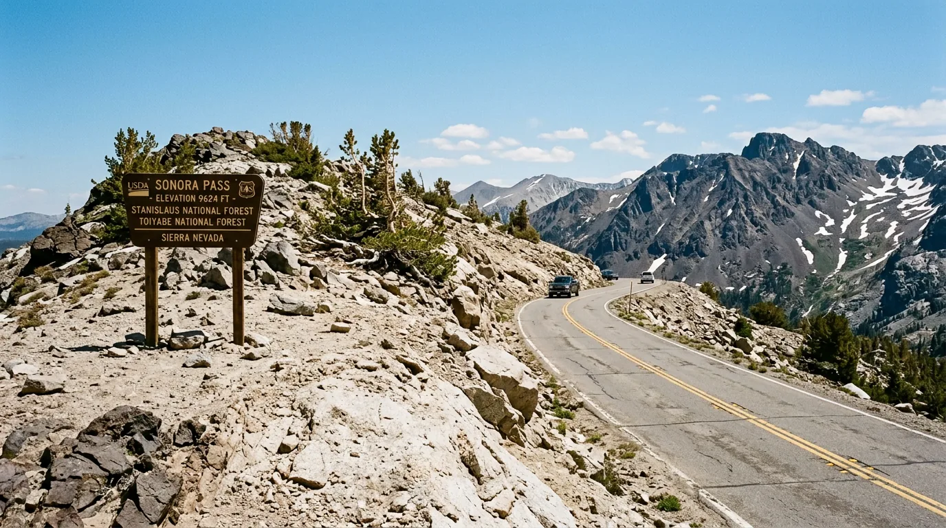
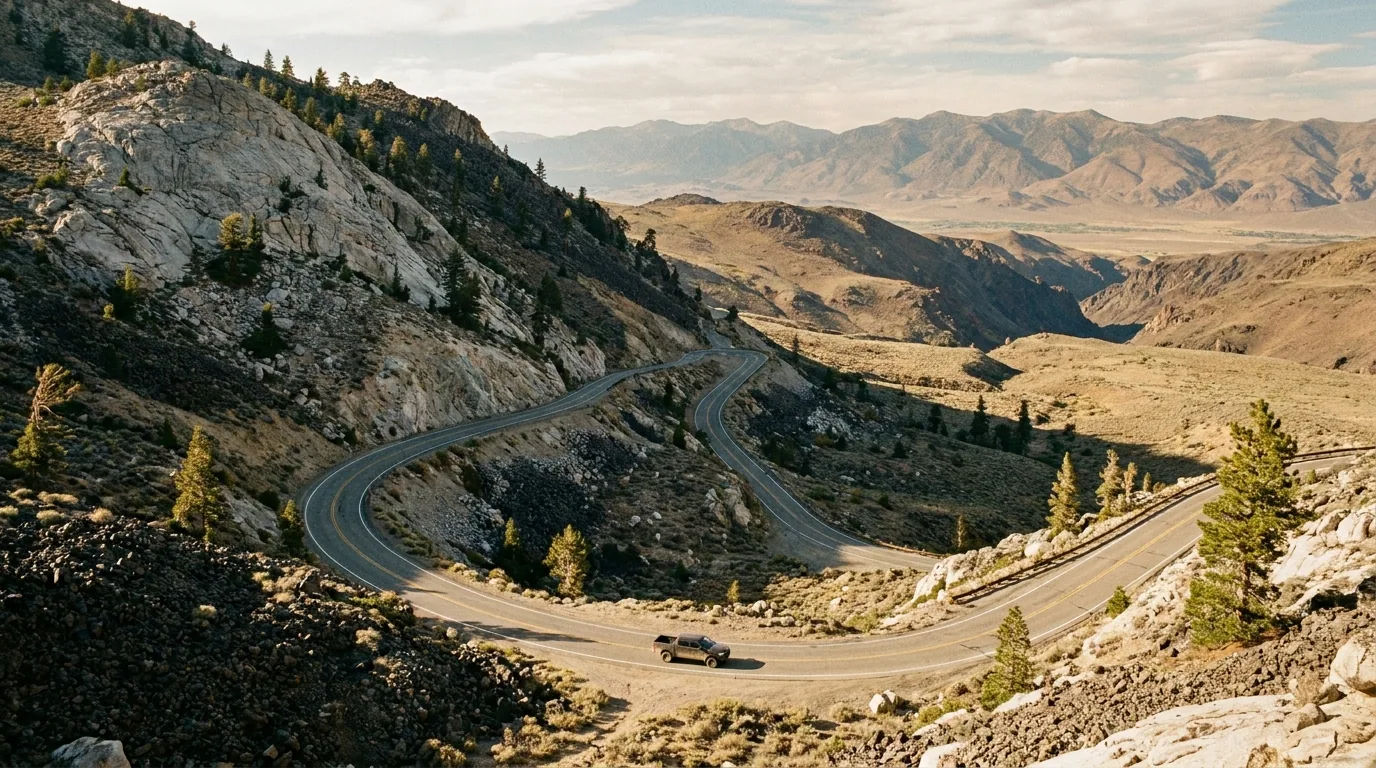
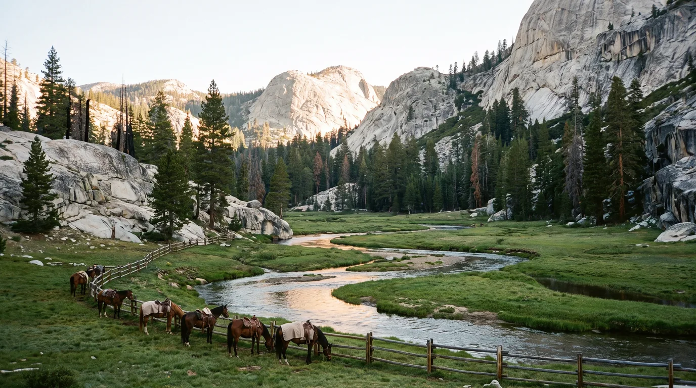
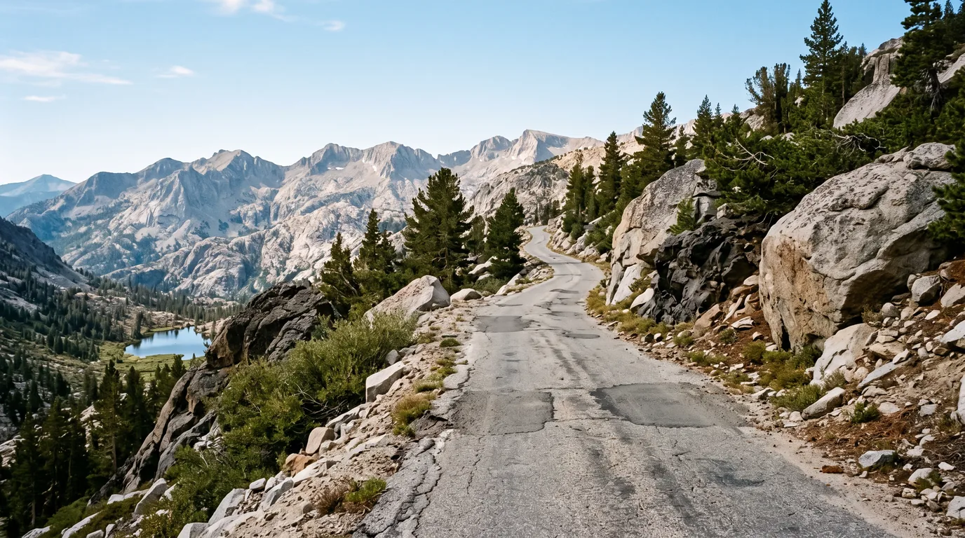
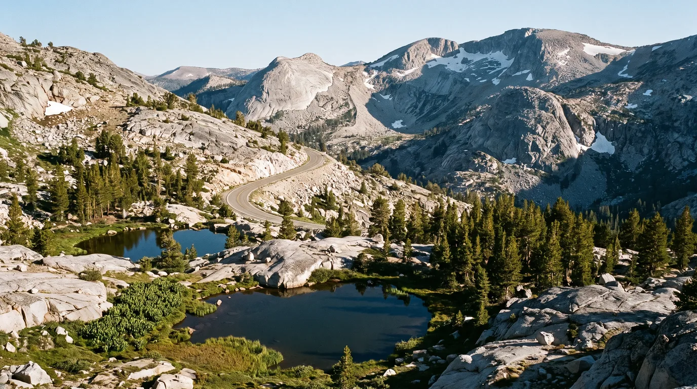
Only Tioga climbs higher, and Tioga is a park road with a park road's manners. These are the working crossings — Highway 108 topping out at 9,624 feet before it falls off the east side past a posted 26 percent grade warning, and Highway 4 spending 23 miles as a single lane with no centreline at all. Between them lies the quietest big country in the range. Both are gated shut for half the year, Highway 4 is now four years into a rebuild with periodic full closures, and the question that decides your trip is whether the road is open at all. Answer that, be honest about what you're driving, and these are the two best roads in California.
The rest of this journal is evergreen; this box is not. Normally the only question that matters here is whether the pass is open (§02), followed by whether what you're driving belongs up there (§03). For the next four years there is a third, and on Highway 4 it outranks both. Everything below is dated to the day we checked it. Trust the live sources, not our date stamp.
There are five highway crossings of the Sierra crest between Yosemite and Tahoe, and these are the two serious ones. Sonora Pass carries Highway 108 to 9,624 feet — Caltrans calls it the second-highest point on the entire state highway system — and then drops off the eastern side past a warning sign for a 26 percent grade, a number most drivers have never seen posted on a state highway. Ebbetts Pass carries Highway 4 to about 8,730 feet by a stranger route: for roughly 23 miles the state simply stopped painting a centreline, because there is not enough pavement to divide. Between and around them sits the Stanislaus National Forest and the Carson-Iceberg Wilderness, the emptiest good country in the range, precisely because getting a vehicle in here is awkward. That awkwardness is the whole appeal, and the whole planning problem.
Two of the great drives in the American West, an hour apart, with almost no traffic on them. Granite domes, basalt columns, alpine tarns, the Carson-Iceberg Wilderness on a free self-issue permit, and a giant sequoia grove at the western end of Highway 4 (§04, §05).
The season is short and gated, the grades are severe, Highway 4's pavement runs out of width and is now under reconstruction to 2030, and the fuel gaps are long with one historic station gone since 2018 (§02, §03, §08).
The natural trip is a loop: over one pass, down to US 395, and back over the other, closed at the eastern end by SR 89 over Monitor Pass. Roughly two to four days, and it needs all three passes open at once (§10).
This is the section that decides your trip, so take it first. Neither road is maintained over the top in winter. Caltrans District 10 closes them at physical gates, plows them out in spring on a schedule set by the snowpack, and announces the reopening when the road is genuinely clear. There is no calendar you can trust and no short detour — if you arrive at a closed gate your alternative is Highway 88 over Carson Pass, an hour or two away. Below is exactly what happened in 2026 and in recent years, given as evidence of how the system behaves, not as a forecast.
| Pass | Route & height | 2026 season — what actually happened | Where the gates are |
|---|---|---|---|
| Sonora Pass the high one |
SR-108 · 9,624 ft | Closed 26 Dec 2025; cleared in stages — Eagle Meadow gate 27 Mar, Kennedy Meadows gate 9 Apr, full pass 10 a.m. Thu 30 Apr 2026. A storm re-closed it days later; reopened at Kennedy Meadows noon, 7 May | Winter gate at the Sno-Park just north of Strawberry; about 28 miles from there to the summit |
| Ebbetts Pass the narrow one |
SR-4 · ~8,730 ft | Closed 26 Dec 2025; reopened 1 p.m. Wed 6 May 2026 — then closed again by a late storm and reopened 2:30 p.m. Fri 29 May 2026. Recent openings: 14 May 2024, 8 May 2025, 6 May 2026 | Eastbound at the Lake Alpine Sno-Park, westbound at the SR-4/SR-89 junction; the west gate is staged forward to Raymond Meadows during clearing |
| Monitor Pass the link road |
SR-89 · 8,314 ft | Closed 26 Dec 2025; reopened noon, 5 Mar 2026 — far earlier than the others — then closed and reopened repeatedly for storms through April and May | Gates at the SR-4 / SR-89 junction (west) and US-395 (east) |
All dates above are the 2026 season as announced by Caltrans District 10. They are evidence of the pattern, not a prediction. For scale on how far the date can move, Sonora Pass opened 9 June in 2023 after a 211-day closure, 16 May in 2024, and 15 May in 2025. And as both passes showed in May 2026, a pass that has opened can close again.
A trap worth naming: static Caltrans road-info pages and Forest Service "area status" fields go stale badly here. We found an SR-108 status page still reading "closed for the winter" in late July, and Forest Service trailhead pages still carrying December statuses. QuickMap is the live source; the static pages are not.
This is the section people come to this guide for, and the honest answer is more interesting than the internet's version. Both passes are hostile to long vehicles, but only one is hostile legally, and the legal restriction that does exist applies to something narrower than almost every guide claims. On Highway 108 there is a specific, enforceable Caltrans prohibition — on trucks. On Highway 4 there is no legal length limit whatsoever; the route does not appear on Caltrans' special-route-restriction list at all. And yet Highway 4 is far more likely to leave you stuck, because for 23 miles the road is physically not wide enough for two vehicles to pass. Legal is not the same as possible.
The lesson is not just for truckers. Satellite navigation does not know about these two roads. It will route you over Ebbetts with a 30-foot motorhome and it will not warn you. Decide your route from a map and this section, not from a routing app.
On the descents, either way: pick a low gear at the top and stay in it. Riding the brakes down a sustained grade is how you cook them, and there are no runaway-truck ramps up here. If you smell brakes, stop somewhere safe and let them cool properly — not for two minutes.
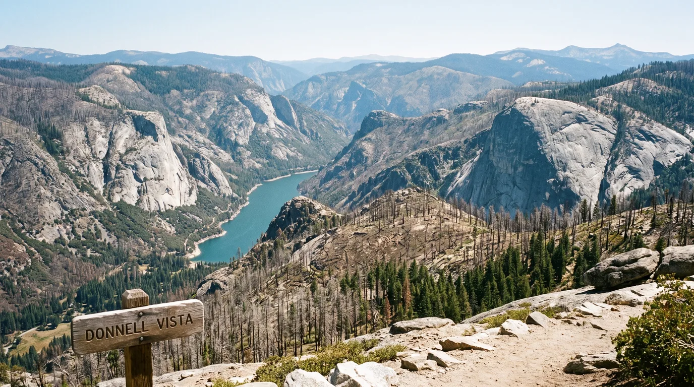
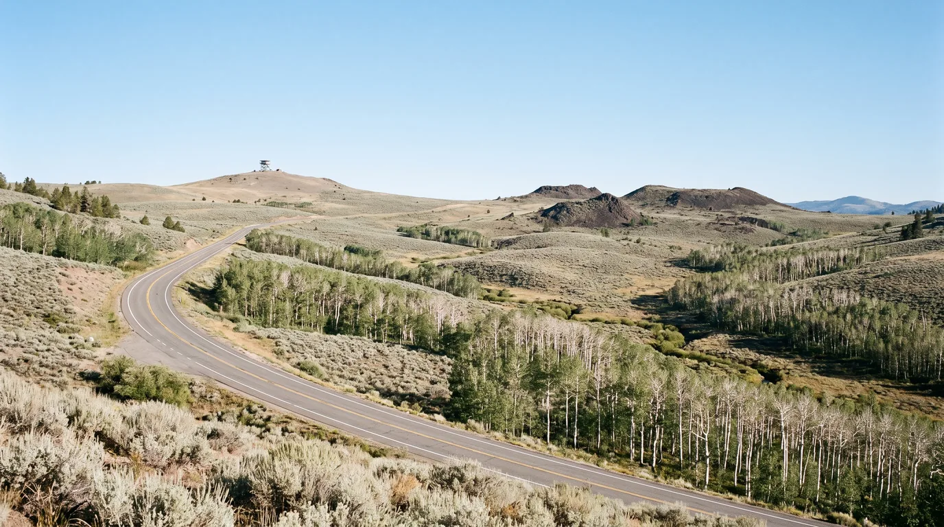
Highway 108 is the more conventional of the two roads and the more spectacular. It climbs steadily for sixty miles through the Stanislaus National Forest along the Middle Fork Stanislaus River, runs through the 2018 Donnell Fire scar, and then does something abrupt: above Kennedy Meadows it leaves the trees entirely and hauls itself onto a bare volcanic crest at 9,624 feet. What follows on the eastern side is one of the great descents in the country. Below, the corridor in the direction most people drive it.
The stretch that does not feel like a mountain pass yet. Sonora is the last full-service town — supermarkets, hardware, hospital — and Twain Harte, Mi-Wuk Village, Long Barn and Cold Springs string out above it with fuel, cafes and stores. Pinecrest Lake, about 30 miles east of Sonora near 5,600 feet, is the corridor's busiest recreation hub: a large campground, a swim beach, a shoreline loop and a small resort village, with Dodge Ridge running summer lift and disc-golf operations nearby.
Fill the tank at Cold Springs. Cold Springs Market, 29822 Highway 108, is the last dependable conventional station before the pass — roughly 26 miles below the summit (§08).
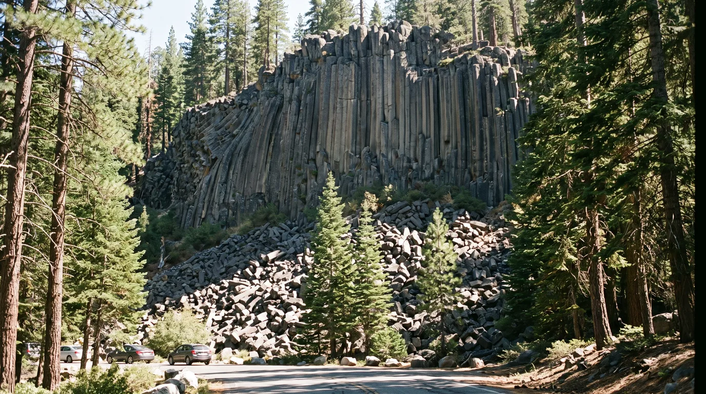
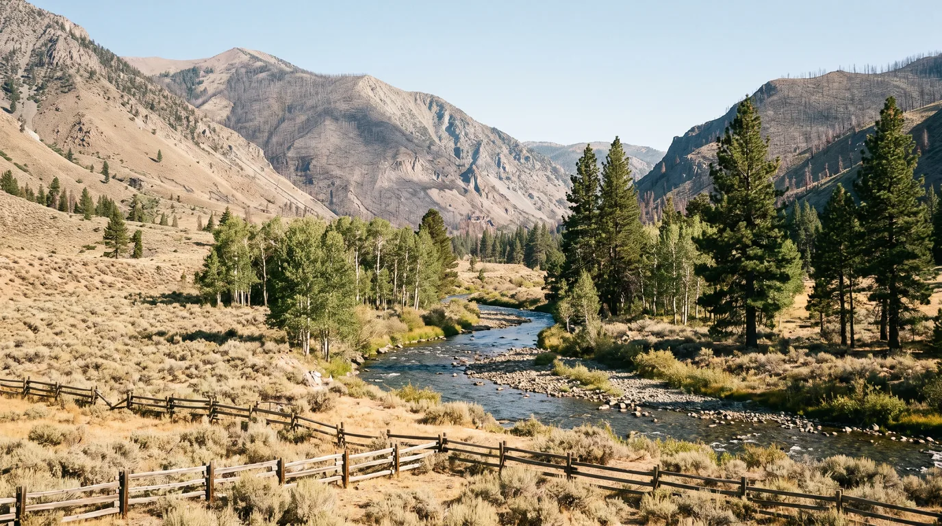
The river section, and the burn. The highway follows the Middle Fork Stanislaus past a chain of small Forest Service campgrounds and through the Donnell Fire scar, passing the corridor's two best short stops: Donnell Vista and the Columns of the Giants.
Dardanelle needs a warning. The 1923 Dardanelle Resort — store, restaurant, bar, cabins and the gas station — was destroyed in the Donnell Fire, along with more than 50 cabins and the 1933 Dardanelle Bridge. Rebuilding has been partial and the property has been offered for sale; we could not confirm it is trading in 2026. Note the separate, genuinely open Dardanelle Campground across the road.

A quarter-mile interpretive trail from Pigeon Flat leads to a cliff of hexagonal columnar basalt — the same jointing that makes Devils Postpile famous, formed as a thick lava flow cooled and cracked into vertical pillars, with a talus apron of fallen columns at its base and a pocket of ice that persists in the rubble. Short, easy and genuinely remarkable. The trail and its river bridge survived the Donnell Fire intact even as the forest around them burned.
Pair it with the Trail of the Gargoyles on the ridge above the corridor — a rim walk past eroded volcanic hoodoos above a sheer drop, reached by several miles of Herring Creek Road. The access roads are unpaved and seasonal — confirm conditions locally before driving them.
Highway 4 is the odder road and, for a certain kind of driver, the better one. It has been a California State Scenic Highway since 1971 and a National Scenic Byway since 2005, covering 61 miles of Highways 4 and 89 from Arnold to Markleeville. It passes a grove of giant sequoias within the first hour, and then does something no other state highway over the Sierra does: it gives up on being a two-lane road. East of Lake Alpine the paint stops, the shoulders vanish, and for roughly 23 miles to Centerville Flat you drive a single ribbon of patched asphalt over two summits. It is not dangerous at sensible speed in a sensible vehicle. It is simply not a road for anything big — and from August 2026 it is also a construction zone.
What it means for you: Caltrans says the work requires one-way traffic control and periodic full highway closures, which will be posted in advance. On a road whose only alternative is a hundred-mile detour, a scheduled full closure is a trip-ender, not an inconvenience. Caltrans deliberately delayed the start past peak summer, and the pass shuts for winter anyway, so the practical impact lands on shoulder-season and future-summer trips. Check Caltrans District 10 and QuickMap for scheduled closures before you fix a date — every year until 2030.
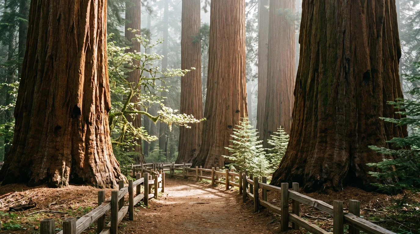
Calaveras Big Trees State Park, just past Arnold, holds two groves of giant sequoia — the North Grove, with a flat self-guiding loop near the entrance, and the larger, quieter South Grove, reached off the Walter W. Smith Parkway. That parkway closes for winter around 1 December and reopens about 1 May, making the South Grove a summer-only destination.
2026 rates: $10 vehicle day use ($12 peak and holidays); camping $35 ($33 senior; $40/$38 holidays), extra vehicle $10, dump station $20 for non-campers. Camping season 15 May – 1 October via ReserveCalifornia, with limited first-come sites in North Grove through winter. RV/trailer limit 30 ft in both campgrounds. The park's four cabins were closed for construction when we checked.
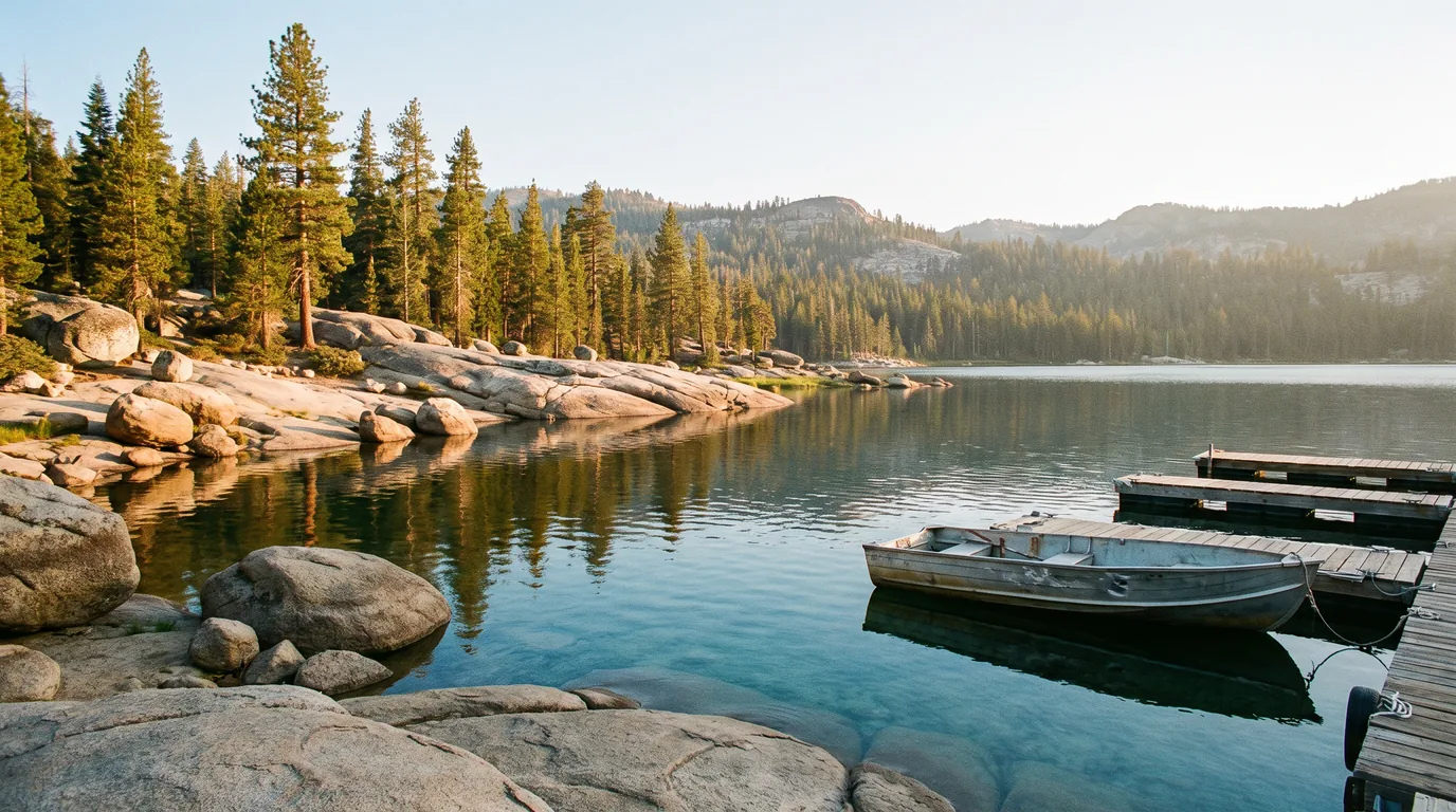
Lake Alpine at roughly 7,400 feet is the hinge of the corridor: the last cluster of services, the biggest concentration of campgrounds, the winter gate, and the point beyond which the highway narrows. About 150 sites are spread across Lake Alpine West Shore, Pine Marten, Silver Valley, Silvertip, Lodgepole and a walk-in Backpackers' ground. Most are reservable on Recreation.gov — Pine Marten is first-come (§07).
Lake Alpine Lodge (also trading as Lake Alpine Resort, 4000 Highway 4) runs a store, restaurant and bar, rustic cabins and tent cabins, camping and boat, kayak and paddleboard rental. It has no fuel — the nearest is Bear Valley, about three miles west. We could not confirm its 2026 season and hours; one source gives roughly late May to early October.

Ebbetts Pass itself — posted at about 8,730 feet, given as 8,736 under the newer vertical datum — is understated: a small sign, a flat spot, Kinney Reservoir just below, and a Pacific Crest Trail crossing with a self-issue wilderness permit box in a dirt lot about a third of a mile east. No lodge, no store, no viewing platform. That is the charm.
East of the summit the road widens again near Silver Creek and Highway 4 ends at the SR-89 junction about five miles south of Markleeville — from there SR-89 runs north into town and east over Monitor Pass (§08).
The hazards here are unusual because the driving is the dangerous part, not the hiking. Sustained steep grades cook brakes; the summits sit high enough that altitude is a real factor for visitors from sea level; afternoon thunderstorms build over exposed volcanic crest with no shelter; and two large recent fires have left standing dead timber across a lot of this country, which is a genuine hazard in wind. None of it is exotic. All of it rewards planning.
Both descents are long and steep, and the eastern side of Sonora Pass is the steepest paved grade most drivers will ever attempt. Select a low gear at the summit and stay in it — let engine braking do the work and use the brakes in firm, brief applications rather than continuous pressure.
If you smell hot brakes, stop. Find a safe pull-out and let them cool properly — brake fade is progressive, and there are no runaway ramps on either pass. On Highway 108's eastern hairpins the posted corner speeds drop to 10–15 mph; take them at that.
Standard wilderness-medicine guidance, not a substitute for a doctor.
The burn-scar addition: the 2018 Donnell Fire (36,450 acres) on the Highway 108 corridor and the 2021 Tamarack Fire (68,637 acres, lightning-caused, around Markleeville) left large areas of standing dead timber. Dead trees fall, and they fall in wind and in storms. Do not camp, park or linger under standing dead trees, especially when it is blowing. Burn scars also shed water fast — expect flash flooding and debris flows in drainages below them during summer thunderstorms.
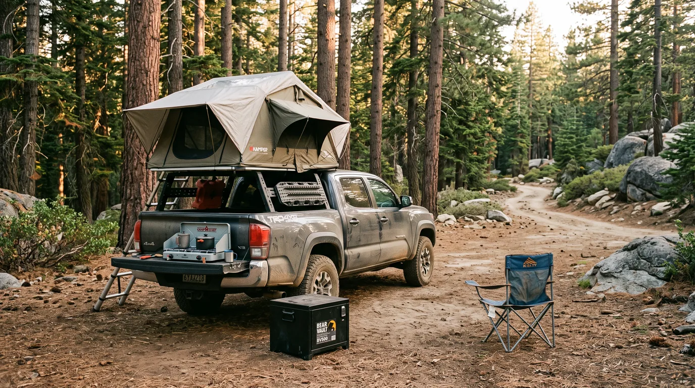
This is black-bear country (there are no grizzlies in California). Use bear lockers where campgrounds provide them — Leavitt Meadows has them — never leave food in a soft cooler or an open vehicle, and store food and scented items in bear-resistant containers or a locked vehicle when dispersed camping. If a black bear approaches, stand tall and make noise; never run, and never approach a cub.
Coverage is poor to absent across most of both corridors and gone at the summits. The stretch between Bear Valley and Markleeville — roughly 36 miles and about an hour and a half — has effectively no service at all. Download offline maps, reservations and permits before you leave town, tell someone your route, and do not count on calling for help from the pass. Carry more water than you think and a warm layer even in August: it can be far colder at the summit than in the foothills you started from.
Camping here is mostly Stanislaus National Forest: a long chain of small, plain, inexpensive campgrounds along both river corridors, a dense cluster at Lake Alpine, and two very different state parks at the ends. The quirk of the Highway 108 corridor is how many of its campgrounds are still genuinely first-come rather than reservable — a gift midweek and a problem on a summer Friday. Most are dry: vault toilets, no hookups, and at several no potable water at all. And right now one thing overrides all of it: both forests are under fire orders, so check what you may burn before planning an evening around a campfire.
| Campground | Corridor | Sites | Fee* | Booking | Notes |
|---|---|---|---|---|---|
| Pinecrest | Hwy 108 · Pinecrest Lake | ~200 | $40 | Reservation | Flush toilets, potable water, no hookups. First-come in the shoulder seasons |
| Fraser Flat | Hwy 108 · South Fork | 38 | $28 / $56 dbl | First-come | 3 mi off the highway. Vault toilets, accessible fishing piers. Horses prohibited |
| Cascade Creek | Hwy 108 · ~11 mi E of Pinecrest | 14 | $20 | First-come | No potable water. Vault toilets, dirt pads |
| Mill Creek | Hwy 108 · ~14 mi E of Pinecrest | 17 | $20 | First-come | No potable water — fill at the Strawberry store. Horses prohibited |
| Niagara Creek & OHV | Hwy 108 · Eagle Meadow Rd | 10 + 10 | $20 | First-come | No potable water. OHV riding permitted from the OHV ground |
| Boulder Flat | Hwy 108 · ~20 mi E of Summit RS | 20 | $25 | First-come | Opened 20 June 2026. No potable water — bring your own |
| Brightman Flat | Hwy 108 · ~22 mi E of Pinecrest | 33 | $25 | First-come | No potable water at sites; free RV water fill at the old Brightman fire station |
| Pigeon Flat | Hwy 108 · at Columns of the Giants | 7 walk-in | $17 | First-come | Walk-in only — no cars past the gate. No potable water |
| Dardanelle | Hwy 108 · opposite the old resort | 28 | $28 / $56 dbl | First-come | Paved pads, vault toilets, piped water hydrants. Two river-access trails |
| Eureka Valley | Hwy 108 · ~26 mi E of Pinecrest | 28 | $27 | First-come | Hand-pump wells — water not potable at site. Season reported 15 Jun–5 Sep 2026 |
| Baker | Hwy 108 · Kennedy Meadow Rd jct | 44 | $25 | First-come | RV max 36 ft. Hydrants not potable. Cash only. Run by Kennedy Meadows Resort |
| Deadman | Hwy 108 · 1 mi up Kennedy Meadow Rd | 17 | $25 | First-come | RV max 32 ft. No potable water. Cash only |
| Clark Fork & Sand Flat | Hwy 108 · Clark Fork Rd | 88 + 68 | $27 (Sand Flat) | First-come | The two biggest grounds east of Pinecrest. Sand Flat has well water; dump station $10 |
| Leavitt Meadows | Hwy 108 east · 7,800 ft | 16 | $28 | Reservation | Humboldt-Toiyabe. RV under 24 ft. Potable water, bear lockers. Late May–late Sept |
| Sonora Bridge | Hwy 108 east · 6,300 ft | 23 | confirm | First-come | West Walker River. No potable water. Late April–mid September |
| Lake Alpine cluster West Shore, Pine Marten, Silver Valley, Silvertip, Lodgepole, Backpackers' | Hwy 4 · ~7,300–7,400 ft | ~150 | ~$27–32 | Reservation — except Pine Marten (first-come) | Recreation.gov posts no max RV length but warns these are old grounds with narrow roads and tight turns — scout your site first. Backpackers' is walk-in |
| Big Meadow & the reservoirs Spicer, Utica, Union | Hwy 4 · Spicer Rd | 65 / 55 / 10 / 17 | $19–30 | Reservation | Big Meadow noted for stargazing; Sandy Flat at Utica is small vehicles only |
| Calaveras Big Trees SP North Grove 1–74; Oak Hollow 75–129 | Hwy 4 · above Arnold | 129 | $35 ($40 hol.) | ReserveCalifornia | RV/trailer limit 30 ft. Showers, potable water. Season 15 May–1 Oct; extra vehicle $10 |
| Grover Hot Springs SP | SR-89 · Markleeville | ~76 | confirm | ReserveCalifornia | RV limit 27 ft. Day use $8 ($7 senior). Pool status contested — see §08 |
| Silver Creek | Hwy 4 · 11.7 mi S of Markleeville | 22 | ~$27–39 | Reservation | Humboldt-Toiyabe, 7,100 ft. No potable water. PCT access nearby |
| Markleeville | SR-89 · in town, 5,500 ft | 9 | ~$30 | Reservation | On Markleeville Creek. RV under 24 ft. No potable water |
| Turtle Rock Park | Alpine County · near Markleeville | n/a | — | CLOSED | Closed since the 2021 Tamarack Fire, no reopening date; a county master plan proposes a rebuild |
| Indian Creek (BLM) | SR-89 · N of Markleeville | n/a | — | CLOSED | Damaged by the Tamarack Fire and again by 2022 flooding; still closed in 2026 |
*Fees and site counts are from Forest Service, state-park and Recreation.gov listings; several are shown "confirm" where we could not verify a 2026 figure. Stanislaus concessionaire campgrounds are cash-only, the maximum stay in any campground is 14 days, and Interagency Senior/Access passes give 50% off single sites. Elevations for most Forest Service grounds are not published and any you see elsewhere are approximate. Beware two name collisions: Sand Flat on Clark Fork Road is not Sand Bar Flat on the Middle Fork, and Deadman here is not the Deadman Creek near Mammoth. Reservation status for the Brightman–Dardanelle complex is genuinely contradictory between the concessionaire and Recreation.gov — assume first-come and check before you count on booking. Summit Ranger District: (209) 965-3434.
Dispersed camping is genuinely available here and is one of the reasons to come. The Forest Service's own rules: camp at least 100 feet from the edge of any meadow, lake or stream; you may park within one vehicle length of a route shown on the Motor Vehicle Use Map and walk in from there; wash dishes 200 ft from water and bury waste 6 inches deep and 200 ft from water and camp.
Two different stay limits, constantly confused: the Forest Service's dispersed-camping guidance gives 21 cumulative days per ranger district per calendar year, while the 14-day limit you see quoted is the rule inside developed campgrounds. Many forest roads also close 15 December to 15 April. Popular areas run off Eagle Meadow Road and Clark Fork Road.
Right now the fire orders bind. Under STF-16-2026-11 and -12 (17 July–31 December 2026) campfires and stove fires are prohibited outside the developed sites listed in the orders, with penalties to $5,000 and six months. A free California Campfire Permit is required for any stove outside a developed campground — and under these orders it buys you a gas or pressurised-liquid stove or lantern, not a campfire.
A refreshing contrast to the quota systems elsewhere in the Sierra. A wilderness permit is required for all overnight trips into the Carson-Iceberg — and it is free, with no quota, and self-issued at trailheads and at the Calaveras and Summit ranger stations, with a box at the Ebbetts Pass PCT trailhead about a third of a mile east of the summit. Permits are not required 30 November to 15 April.
The wilderness straddles two forests — Stanislaus on the west, Humboldt-Toiyabe's Carson district on the east. Confirm current rules with whichever side you enter from.
Both corridors have the same shape: a well-served western foothill approach, a long thin middle with almost nothing, a summit with nothing at all, and a sparse eastern side. Two wrinkles catch even repeat visitors. One historic mid-corridor filling station — Dardanelle, on Highway 108 — burned in 2018 and still appears in directories as though it were trading. And one business in Arnold looks exactly like a gas station in search results but is a weekday bulk-propane dealer. Fill up at the bottom, every time, on both roads.
Mountain-town hours and seasons shift constantly. Confirm anything you are depending on.
We confirmed no operator pricing beyond the two state parks and the Forest Service campgrounds. Hours and seasons change; check the current source before you drive over. Business contact details are otherwise withheld until each owner claims their listing.
This is a summer trip and nothing else. The passes are shut for roughly half the year, the shoulder seasons are a gamble decided by a snowpack you cannot see from home, and the reliable window is narrower than most of the Sierra: call it late July through September. Inside that window the variables are smoke and, until 2030, Highway 4's construction schedule.
One workable shape, not the only one. It runs Highway 108 eastbound over the bigger pass while you are fresh, drops to US 395, comes back west over Monitor and Ebbetts, and finishes down Highway 4 through the sequoias. Four days is comfortable; three is brisk; two is a lot of driving and worth it anyway. It needs three passes open at once — and, until 2030, no scheduled Highway 4 closure on your day. Confirm all of that before you leave.
Run it before you leave. These are the ten things specific to Sonora and Ebbetts that a general road-trip habit will skip. Most come back to three facts: the road decides the trip, the road decides your vehicle, and the fuel is all at the bottom.
Every guide has these; most don't print them. This corridor is national-forest land with two state parks bolted on the ends, and the Forest Service does not publish a single authoritative table of fees, seasons and elevations the way a national park does. Worse, a lot of what is online about these two roads is several seasons stale, and some of it is confidently wrong. Everything below was compiled 25 July 2026 and should be re-checked against the linked official source before you rely on it.
Everything above, condensed into a print-ready PDF built for the glovebox — for two roads where the gate decides the trip, the grades decide your vehicle, the fuel is all at the bottom, and the signal dies an hour before you need it. The four-year Highway 4 rebuild, the winter gates and how they actually behaved in 2026, the Caltrans truck restriction decoded properly, the one-lane miles mapped, both forests' fire orders, the free Carson-Iceberg permit, the campgrounds with real fees and the first-come ones flagged, the fuel gaps including the station that burned and the dealer that isn't a pump — and the honest list of what nobody could confirm, on paper that works where the bars don't.
Every Trekkr Trail Journal is built like this one: custom logistics, honest trail beta, the camping and access detail, and the local knowledge that turns a good trip into the one your crew talks about for years — including, always, a plain list of what we could not confirm. New destinations drop all season long, from the BC corridors to the Oregon Cascades to the California Sierra.
Unlock the Trail Journal Library