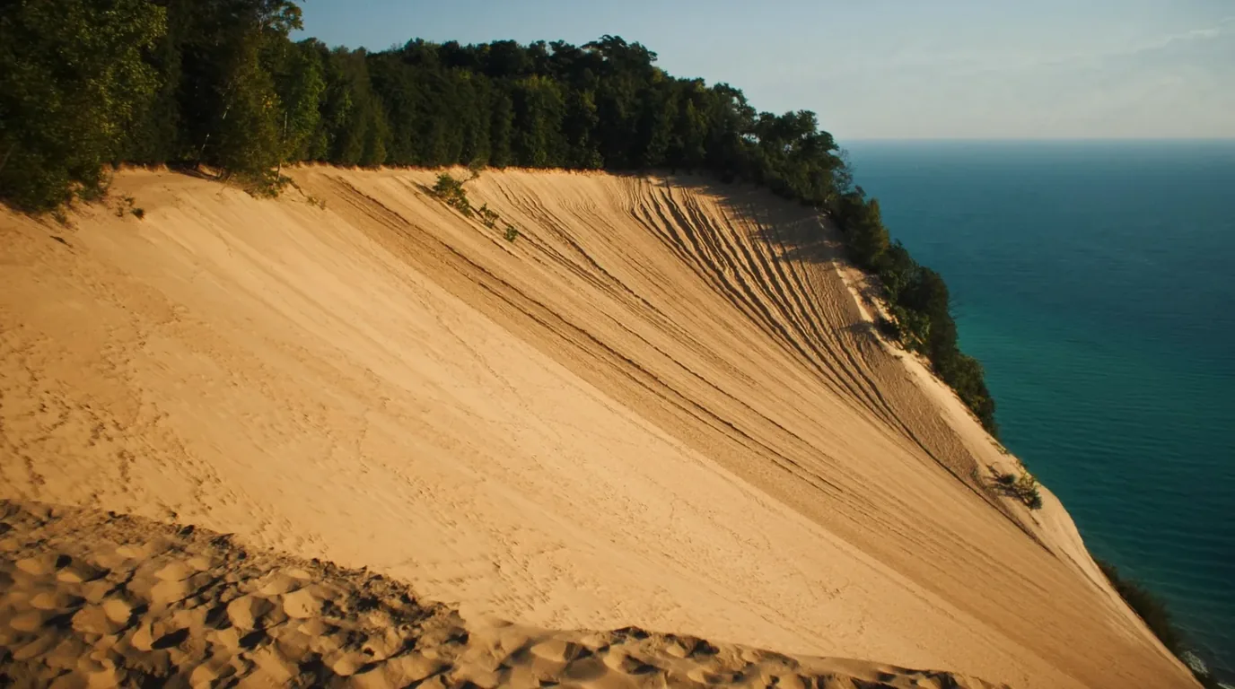
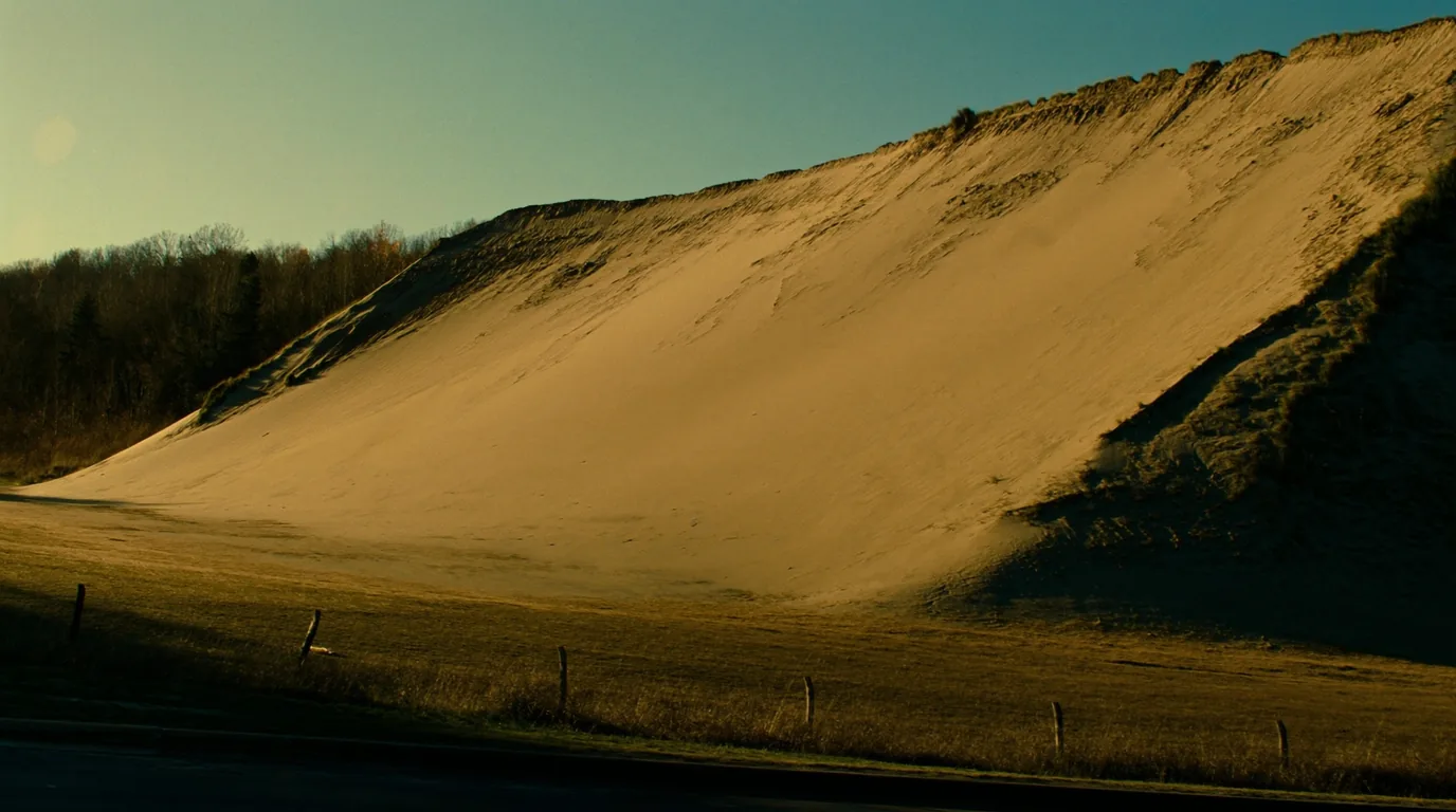
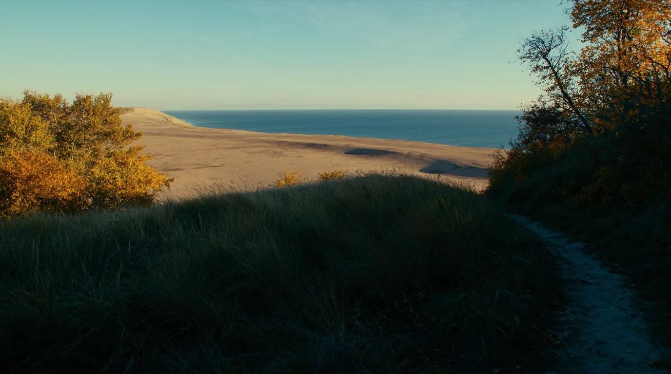
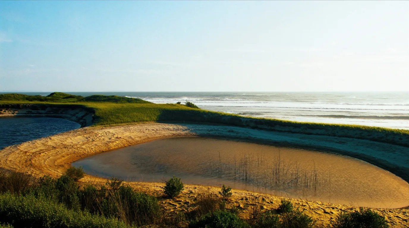
A vast perched sand dune standing four hundred feet above the deep blue water of Lake Michigan with pale sand falling steeply to the shoreline and beech-maple forest inland, Sleeping Bear Dunes Michigan, ultrarealistic photograph representative of the region
Trekkr Trail Journal · No. 075 · Sleeping Bear

Sleeping BearMichigan — perched dunes four hundred feet above Lake Michigan, the Pierce Stocking drive, Leelanau & the closed Manitou Islands

Perched dunes standing four hundred feet above Lake Michigan, a scenic drive with a view that stops conversation, and eighty-one rustic campsites under maples a short walk from the water. It is also, in 2026, a park with a hole in the middle of it: both Manitou Islands are closed for the entire season — docks shut, no ferry, no island camping — confirmed independently by the ferry operator and by the National Park Service. This issue plans the mainland trip that remains, which is still very good, and is explicit about the two figures the park’s own pages would not give us.

Michigan · USA Empire · Glen Arbor · Leland · Traverse City Sleeping Bear Dunes National Lakeshore Drive-in camping · dune walking · warm water
CLOSEDBoth Manitou Islands, all of 2026. No ferry, no island camping.
81Rustic sites at D.H. Day. Reservations required 1 May – 15 Oct.
$25Per vehicle for 7 days. A Michigan Recreation Passport does not cover this park.
450 ftThe drop from the Lake Michigan Overlook to the water, with nothing in between.
00 / READ FIRST

Conditions at press time

One closure this year removes half of this park, and it is not a partial or a "check locally" closure. If your reason for coming here was to camp on South Manitou, stop planning and read this section before anything else.

The fact that changes the tripTHE MANITOU ISLANDS ARE CLOSED FOR ALL OF 2026. Both South and North Manitou docks are shut, Manitou Island Transit is running no trips, and camping is closed on both islands. We confirmed this independently from the ferry operator and from the National Park Service — they say it in almost the same words. Reopening is projected for 2027.
Verified late July 2026 · one closure, one pass that does not work, two figures missing
  • Why the islands are closedA dock-relocation and historic-building repair project, funded by the Great American Outdoors Act Legacy Fund. NPS states that all facilities, docks and utilities on both islands remain closed until the work is complete, and that there is no safe docking location on either island during construction — which is why no operator can serve them.
  • What is shuttered on South ManitouThe group campsites and Bay Campground. Pit toilets at Popple and Weather Station campgrounds are the only remaining backcountry support on the island.
  • Entrance is $25 per vehicle for one to seven days, or $45 annualThis is a federally managed National Lakeshore — a Michigan Recreation Passport does not cover it. This catches people combining this trip with a state park elsewhere in Michigan.
  • Two figures we could not confirmThe Platte River nightly fee and its site count. The park’s own campgrounds page did not populate those fields when we read it, so no figure is printed.
  • Reservations run up to six months aheadFor 1 May – 15 October, on Recreation.gov.
On the reopening dateDo not book 2027 travel against the reopening yet. 2027 is a projection, not a commitment. It is the right year to hope for and the wrong year to buy flights for.
01 / THE HOOK

A dune that sits on a hill

Sleeping Bear is not a beach with dunes behind it. It is a perched dune field — sand sitting on top of glacial moraine, so the dune surface begins four hundred feet above Lake Michigan rather than at the waterline. That single fact explains both why the views here are unlike anywhere else on the Great Lakes and why the walk down to the water is a far more serious proposition than it looks from the top.

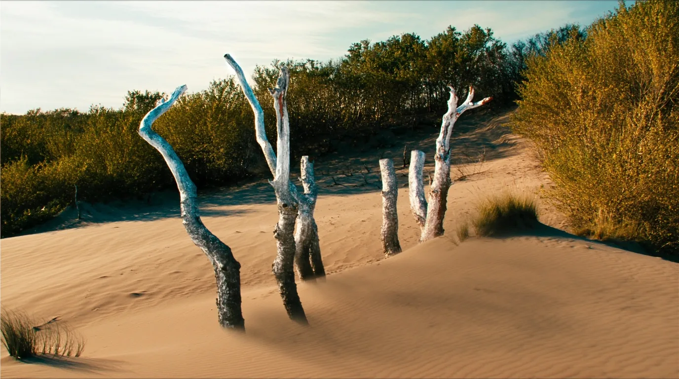
Bleached bare tree stumps and dead trunks standing upright in open pale dune sand, buried and later uncovered by moving dunes, sparse grass and blue sky, Sleeping Bear Dunes Michigan, ultrarealistic photograph representative of the region
The ghost forest. Trees buried alive by an advancing dune, killed, and uncovered again decades later as the same dune moved on. The clearest possible proof that this landscape is a process rather than scenery.

The lakeshore runs roughly thirty-five miles along the north-west Michigan coast, wrapping Glen Lake, taking in beech-maple forest, and historically including the two Manitou Islands offshore. In 2026 it is a mainland park.

The glacial short version: ice sheets left the moraine; lake levels fell and rose; wind carried beach sand up onto the high ground and kept carrying it. Everything you stand on out in the dune field is younger than the hill underneath it, and the wind has not stopped. Blowouts open, march inland, and close again over spans of decades — which is also why route markers in the open sand get buried and reset.

A small rule with real consequencesFollow the posts that are there, not the line you remember from last time and not a track someone else made yesterday. In an active dune field neither is evidence of anything.
02 / CAMPING

Two mainland campgrounds, one rustic and one with hook-ups

With the islands closed, mainland camping is the trip. Two campgrounds, quite different in character, both booked through Recreation.gov up to six months ahead for 1 May to 15 October.

D.H. Day

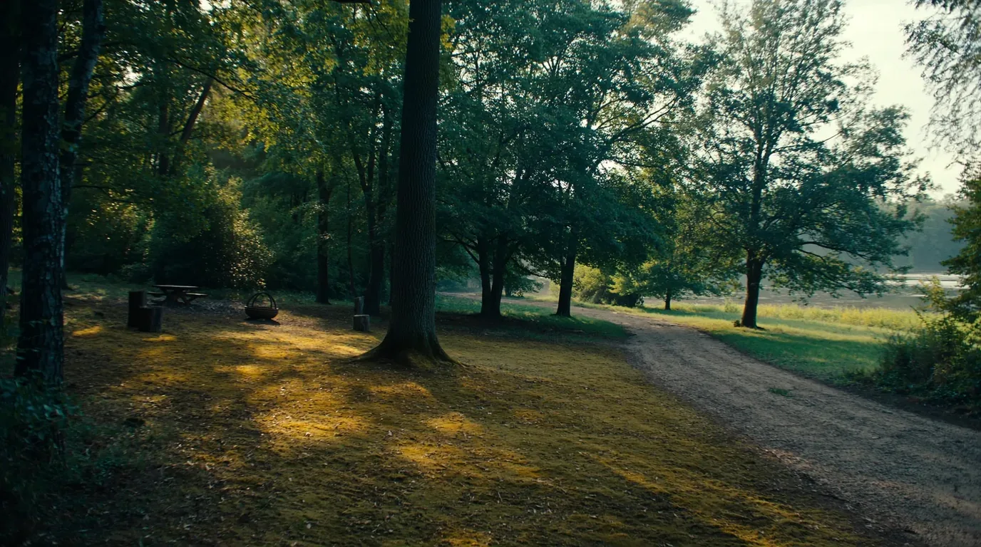
81 sites, rustic in the proper sense: dirt roads, vault toilets, shared water spigots, no hook-ups. Wooded, a short walk from Lake Michigan, and the more atmospheric of the two by a distance.

Open 27 April to the last Sunday in November, weather permitting. Reservations required 1 May – 15 October.

Platte River

The modern option: electric hook-ups, showers and modern restrooms, with back-in, pull-through, tent and walk-in/hike-in sites.

If you need power or a shower, this is the answer — and we could not confirm its nightly fee or site count.

A rustic wooded campground under mature maple and beech trees with dirt roads, simple tent sites and dappled green light, no hook-ups, northern Michigan, ultrarealistic photograph representative of the region
D.H. Day. Eighty-one sites under maples, a short walk from the water, and the reason most people who camp here come back.
The gap, where it mattersTwo things we will not print. The Platte River nightly fee and its site count. One secondary source gives $16 a night, which looks low for a campground with electric and showers, and the National Park Service did not confirm it. Recreation.gov will show you the current figure at booking.

Choosing between them

These two campgrounds are close enough together that either works as a base for the whole park, so the choice is genuinely about how you want to camp rather than about position. D.H. Day is the one people are sentimental about and Platte River is the one that solves problems.

Take D.H. Day if

You are in a tent or a small van, you do not need power, and you would rather be under mature maples on a dirt road than beside a shower block. It is the more atmospheric of the two by a distance and it is a short walk from Lake Michigan.

Take Platte River if

You need electric hook-ups, you want a shower, you are travelling with young children, or you want a pull-through. It also offers walk-in and hike-in sites, which is an under-used middle option.

Either way, book at six months

Both reportedly fill six months out for summer weekends. The six-month mark is the booking date, not a planning milestone to think about.

And bring the right pass

$25 per vehicle for seven days, or $45 annual. A Michigan Recreation Passport does not work here — this is federal land. People combining this with a Michigan state park get caught by that constantly.

The rest of the camping picture
  • Group sites are reservable for parties of 7–25A useful option that most visitors never notice exists.
  • White Pine Camp is the mainland backcountry optionWith the islands shut, it is the only backcountry camping in the park this year.
  • Both main campgrounds reportedly fill six months out for summer weekendsTreat the six-month mark as the booking date, not an option to consider.
  • A Michigan Recreation Passport does not cover this parkEntrance is $25 per vehicle for up to seven days, or $45 annual. This is federal land, not state land.
03 / THE DRIVE

Pierce Stocking, and the road that earns its fee

The Pierce Stocking Scenic Drive is a one-way loop through beech-maple forest onto the dune crest, with numbered pull-offs at the good bits. It is the single best hour in the park for anyone not walking far, and it is the reason a lot of people who cannot manage the Dune Climb still leave happy.

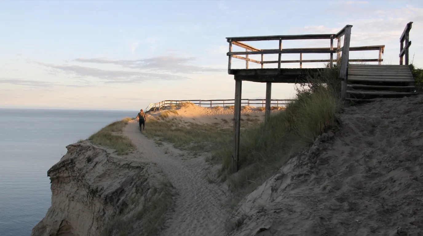
A high dune overlook platform above Lake Michigan at evening with pale sand falling steeply away four hundred and fifty feet to deep blue water, layered lake shelves visible and an open horizon, Sleeping Bear Dunes Michigan, ultrarealistic photograph representative of the region
Stop nine. The lake four hundred and fifty feet below and no middle distance at all — sand, then water, then horizon. On a clear evening it is one of the great views in the eastern United States.

Late afternoon and evening are the times to be here. The sun sets over open water, the sand goes gold, and the layered blues of the lake shelves become visible in a way that midday light flattens out entirely. Allow an hour for the loop rather than twenty minutes — the stops are the point, and it is one-way, so there is no going back for the one you skipped.

The most-ignored sign in the parkDo not run down the overlook slope. It is signed, repeatedly, and people do it anyway. The descent takes two minutes; the climb back is loose sand at a steep angle and takes far longer. The park has run rescues here, and there is a published record of the cost falling on the person rescued. Look at it, photograph it, and stay on the platform.
When the car parks are fullThe other road. M-22 around the Leelanau Peninsula is one of the finest drives in the Midwest in its own right, and it needs no entrance fee. If the park is busy, this is the pressure valve.
04 / THE DUNE CLIMB

The thing everyone does, and the thing behind it

A wall of sand rises straight out of a car park off M-109, and almost every visitor walks at least part of the way up it. It is the most popular thing here and, for most people, entirely the right way to spend an hour. What people underestimate is what lies beyond the first ridge.

A steep wall of pale sand rising directly from a car park with small figures climbing partway up and marram grass at the edges, blue sky above, Sleeping Bear Dunes Michigan, ultrarealistic photograph representative of the region
The first ridge is a fun twenty minutes. Beyond it the trail continues across open dune to Lake Michigan — several hours round trip, no shade, no water, no shortcut back.
What the crossing to the lake actually involves
  • The first ridge is a fun twenty minutesEnjoy it and go back down. There is no shame in it and the view is already good.
  • The lake crossing is a real walkSeveral hours round trip. Treat it as a half-day, not a stroll, and start it in the morning.
  • Soft sand roughly doubles the effort of the same distanceAnd it does it on the way back, uphill, in the hottest part of the afternoon.
  • Carry water for the whole tripThere is none out on the dunes, and Lake Michigan is not a water source you should be drinking untreated.
  • No signal in parts of the dune fieldTell someone your turnaround time before you go.
The rule that prevents most incidents hereEvery rescue on this dune follows the same script. Somebody walks down to the lake feeling fine, spends longer at the water than planned, and starts back up loose sand in the hottest part of the day with an empty bottle. Set a turnaround time before you leave the car park and honour it even if the lake looks close — it is always further than it looks and the return is always slower.

Who should and should not attempt the crossing

This is worth being blunt about, because the Dune Climb car park gives no clue about what is over the ridge and the park signage is easy to walk past. The crossing to Lake Michigan is not a technical route — there is nothing to fall off and no navigation problem in clear weather. It is simply a long, hot, shadeless slog in a surface that fights you, and it turns on heat, water and honesty about the return.

Do it if

You are comfortable with a strenuous half-day, you are starting in the morning, you are carrying real water, and you have agreed a turnaround time out loud with everyone in the party.

Do not do it if

It is already the middle of a hot afternoon, you are carrying one small bottle, you are with children who are already tired, or anyone in the group is unsure. The first ridge is a genuinely good outing on its own.

The equipment version

More water than feels sensible. Sun cover — there is no shade whatsoever. Footwear you are happy to empty repeatedly. And a phone that will not be your safety plan, because signal is unreliable out there.

Permission to turn roundThe first ridge is not a consolation prize. It has the view, it has the sand, and it takes twenty minutes. A very large proportion of the people who enjoy this park most never go past it.
05 / WALKING THE MAINLAND

What is left, and it is a lot

The island trails are gone for this season. The mainland network is not, and it is more varied than the dunes suggest — forest, bluff, beach and a paved path that lets you leave the car alone for a day.

Best view per stepEmpire Bluff

Short, forested, mostly gentle, and ending on a bluff edge with the dunes, the lake and the islands laid out in front of you. About a mile and a half round trip.

If the Dune Climb is the famous walk, this is the good one, and it is manageable for most visitors.

Bluff edges here are sand and till, not rock. They calve without warning and the lips are undercut in places you cannot see from above.

~1.5 miles returnShadedUnstable bluff edge
An hour and a half
Good in any weather
A forested bluff edge high above Lake Michigan looking out over distant pale dunes and deep blue water, beech and maple in the foreground, Sleeping Bear Dunes Michigan, ultrarealistic photograph representative of the region
Empire Bluff. The highest view-per-effort ratio in the park, and considerably quieter than the Dune Climb.

The quiet cornerGood Harbor Bay

Beach and forest walking on the north side of the park, consistently the least busy corner in summer. Come here when everything else has a queue.

QuietestBeach & forestNo climbing
Two hours or a whole afternoon
Good for children

Islands in viewPyramid Point

A steep short climb to a bluff top with the Manitou Islands offshore — visible this year, and unreachable.

Steep and unfenced at the top. The drop is onto sand and then rock.

SteepUnfencedIslands in view
An hour
Clear day only

Leave the carSleeping Bear Heritage Trail

A paved multi-use path linking villages, campgrounds and trailheads. On a busy summer day it is genuinely the best way to move around the park — you skip the car-park problem entirely.

PavedMulti-useLinks the villages
Half a day by bike
Flat and easy
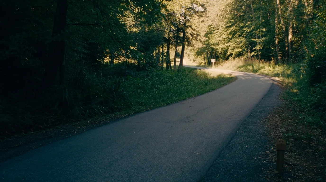
A smooth paved multi-use trail curving through mixed woods and low dune country with cyclists in the distance and dappled sunlight, northern Michigan, ultrarealistic photograph representative of the region
The Heritage Trail. The answer to a full car park in August.
06 / THE WATER

The warm one — and the currents that still catch people

Of the five Great Lakes issues in this run, Sleeping Bear is the only place where swimming in the big lake is a normal summer activity rather than a calculated risk. Lake Michigan here genuinely warms up. That does not make it benign.

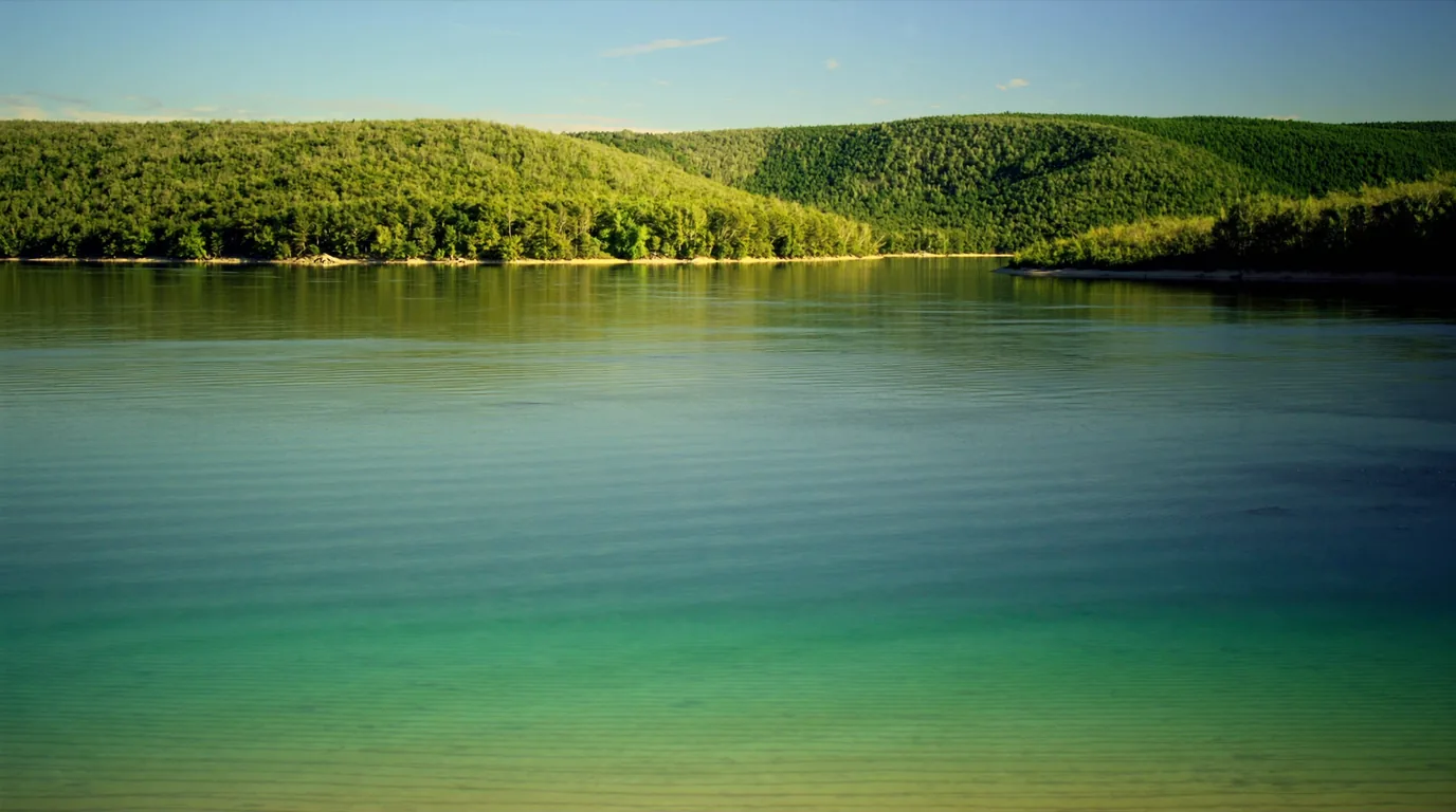
A startlingly turquoise inland lake seen from a wooded height with shallow pale sand bars visible through clear water and forested shoreline, Glen Lake northern Michigan, ultrarealistic photograph representative of the region
Glen Lake. Split into Big and Little Glen by a narrow causeway and coloured a startling turquoise over its shallow bars. From the top of the dunes it looks tropical, which is not a word this region gets often.

For a camping trip, the inland lakes are the practical counterweight to Lake Michigan: shallower, calmer, considerably warmer, and far better for a swim with children or an afternoon in a canoe. There are smaller lakes and ponds scattered through the dune country too, some tucked between ridges with no road access at all.

A small quiet lake held between wooded dune ridges with still reflective water, sand and pine on the banks and no development, Sleeping Bear Dunes Michigan, ultrarealistic photograph representative of the region
The lakes between the ridges. Some have no road to them at all, which is most of their appeal.
What still goes wrong in the water
  • Rip and structural currentsParticularly near piers and river mouths, and especially with an onshore wind. Lake Michigan is warmer than Superior in summer, and it drowns people every year.
  • The sand is the hazard people missSoft sand at a steep angle, no shade and no water produces heat exhaustion on a walk people assumed was a stroll.
  • Bluff edges are unstableThe perched dunes are sand over till and they collapse without warning. Stay back from lips and off undercut edges.
The move that makes the trip betterUse both waters deliberately. Big lake for the view and the drama; inland lakes for actually getting in the water with children. Visitors who only swim off the Lake Michigan beaches spend the week being cold and conclude the region is colder than it is.
07 / VILLAGES, ORCHARDS & THE MARITIME PAST

The lived-in half of the park

This is not a wilderness park. It is a working corner of northern Michigan with a national lakeshore laid over the top, and a good deal of what makes a week here enjoyable is not the sand at all.

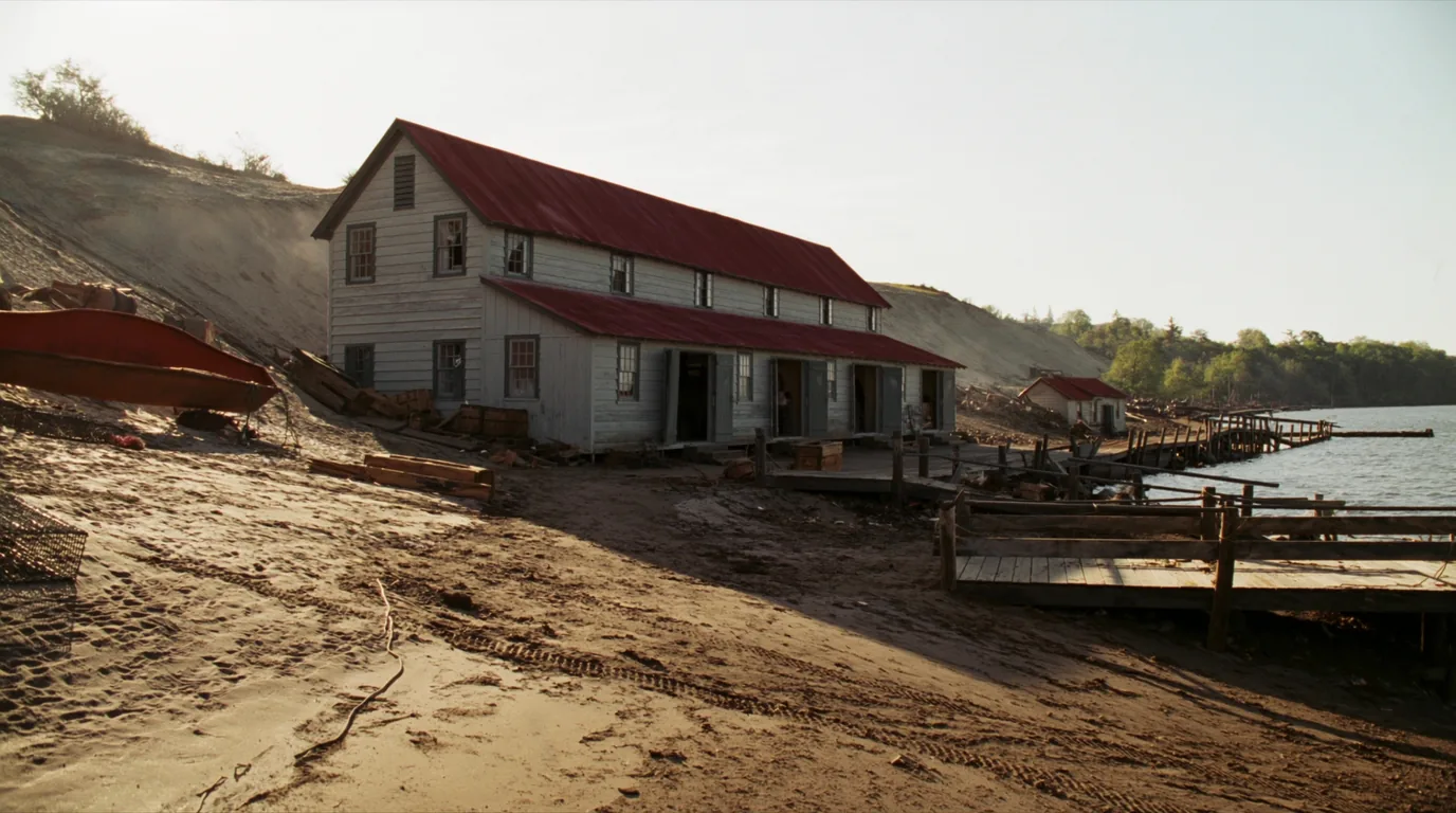
Weathered wooden buildings of a preserved Great Lakes maritime village with a boathouse, a pier and grey clapboard walls under a wide sky beside cold blue water, northern Michigan, ultrarealistic photograph representative of the region
Glen Haven. The maritime and life-saving station buildings preserve the working Great Lakes shoreline — the piers, the boats and the crews who went out to the wrecks.

Leland’s Fishtown, just outside the park, is the same story still half in business — shanties, nets and a working harbour that has been photographed several million times and is nonetheless worth seeing.

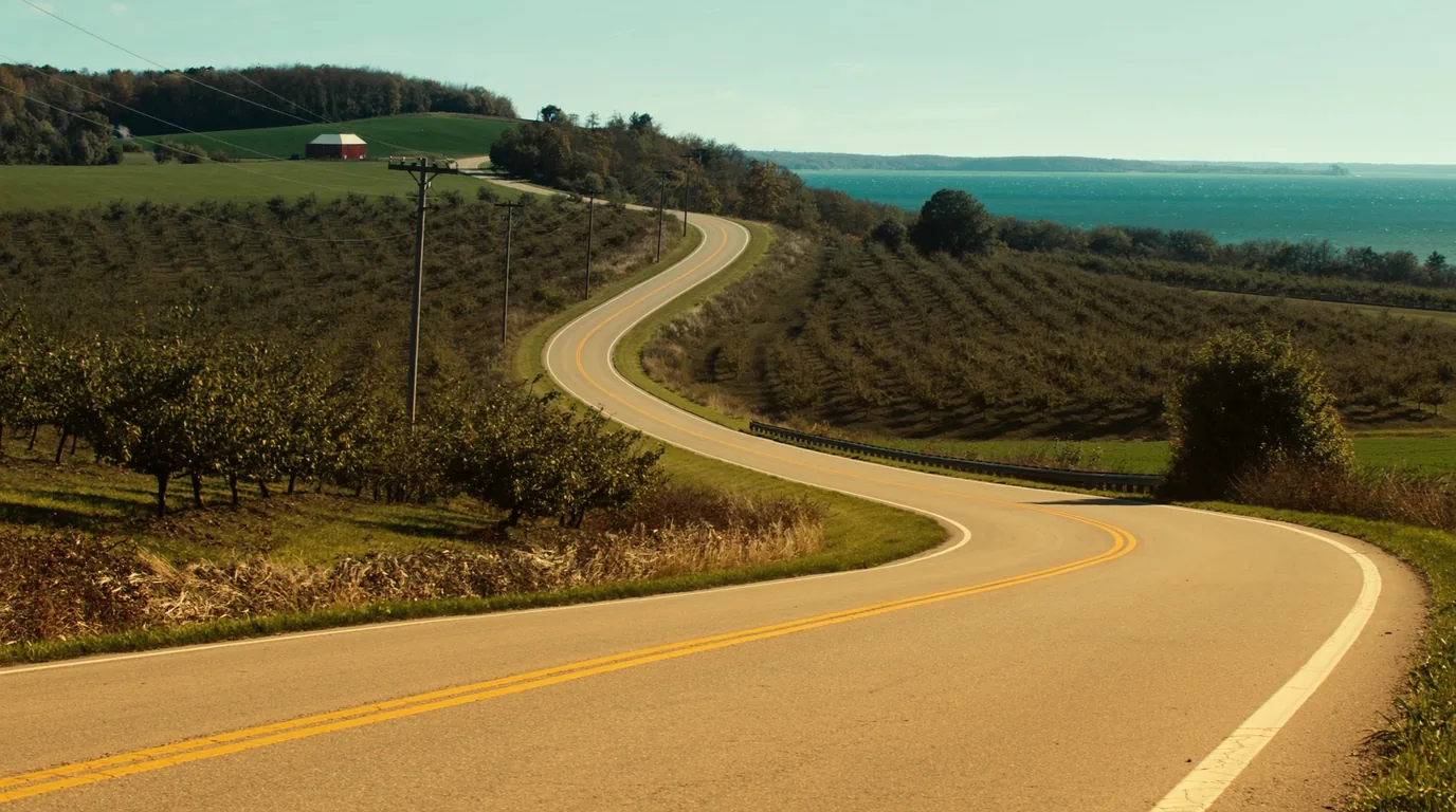
Rows of cherry orchards on rolling farmland above a blue lake in early summer with green hills, farm buildings and distant water, Leelanau Peninsula Michigan, ultrarealistic photograph representative of the region
Leelanau. Orchard country — cherries above all, and increasingly vines. M-22 loops the whole peninsula and needs no park pass.
How to sequence a day hereThe rhythm that works. Dunes early, water in the middle of the day, villages and orchards late — when the park car parks are full and the light has gone soft. Do it the other way round and you will spend the trip queuing.
A boundary of this issueNot sourced here. Public access points, launch fees and watercraft rules on Glen Lake were not confirmed for this issue — much of the shoreline is private and the arrangements vary by township.
08 / THE ISLANDS

What is closed, what it means, and what to do instead

This section exists because a great many people planning a trip here are planning an island trip, and everything they have read describes one. In 2026 that trip does not exist, and it is better to find that out on this page than at a dock in Leland.

The closure, in detail
  • Both islands, all seasonSouth Manitou and North Manitou. Both docks shut, no ferry, camping closed on both. Confirmed independently by Manitou Island Transit and by the National Park Service.
  • The causeA dock-relocation and historic-building repair project funded by the Great American Outdoors Act Legacy Fund. All facilities, docks and utilities on both islands remain closed until it is complete.
  • Why no operator can simply run anywayNPS states there is no safe docking location on either island during construction. This is not a permitting technicality — there is nowhere to put a boat.
  • What is shuttered on South ManitouThe group campsites and Bay Campground. Pit toilets at Popple and Weather Station campgrounds are the only remaining backcountry support on the island.
  • ReopeningProjected for 2027. A projection, not a commitment — the right year to hope for and the wrong year to buy non-refundable travel for.

What you are actually missing

Worth being honest about, both so you can decide whether to wait and so you know what to book when it comes back. South Manitou is the more visited of the two: a walkable island with a lighthouse, a shipwreck visible from the shore, an old-growth cedar stand and three campgrounds. North Manitou is the wilder one — larger, emptier, and camped rather than visited, with far less infrastructure and a much stronger sense of being on your own.

Neither is a day trip in spirit, though South Manitou is often done as one. Both are the sort of place that rewards two nights and punishes a tight ferry schedule.

If you were going for the islands

The nearest substitute in this run of guides is No. 074, the Apostle Islands — boat-access island camping on Lake Superior, open this season, on a thirty-day booking window.

If you want island scenery without a boat

Pyramid Point looks straight out at both Manitous. It is a short steep climb and the view is the consolation this park offers.

If you want the wild-camping feeling

White Pine Camp is the mainland backcountry option and, with the islands shut, the only backcountry camping in the park this year.

Why we led with itThe reason this is at the top of the issue rather than the back. Every other fact in this guide is a detail you can work around. This one decides whether the trip you are planning is the trip you can take.
09 / HOW THE DUNES WORK

A moving landscape with a park laid over it

Almost everything that surprises people here — the ghost forest, the buried trail markers, the collapsing bluff edges, the sheer effort of the Dune Climb — comes from the same fact. This is not a static landform. It is sand in transit, temporarily arranged.

Perched, not coastal

The sand sits on top of glacial moraine rather than at the waterline. That is why the dune surface starts four hundred feet up, and why the walk down to the lake is a descent rather than a stroll.

The wind never stopped

Onshore wind carries beach sand up onto the high ground and keeps carrying it inland. Blowouts open, march, and close again over decades.

The ghost forest

Trees buried alive by an advancing dune, killed, and uncovered again as the same dune moves on. The bleached stumps are the clearest possible evidence of the timescale.

Why the markers move

Route posts in open sand get buried and reset. Follow the posts that are there, not a remembered line or somebody else’s footprints.

Why the bluffs calve

Sand over till, undercut by the lake and saturated by rain. They fail without warning and the lips overhang invisibly from above.

Why soft sand is so hard

Every step displaces the surface, so a fraction of each stride is spent going nowhere. It roughly doubles the effort of the same distance — and it does it on the return leg, uphill.

The unifying principleOne idea explains three warnings. The turnaround-time rule, the stay-back-from-edges rule and the follow-the-posts rule are all the same rule: the ground here is provisional. Treat it that way and this park is entirely benign.
10 / WILDLIFE & LEAVE NO TRACE

Fragile dune plants, and why the paths matter

This is a gentler park than the others in this run — no crossings, no permits, warm water — and its conservation problem is correspondingly quiet. It is not bears. It is feet.

What actually matters here
  • Dune grass is holding the landscape togetherMarram and beach grass are what let a dune stabilise at all. Walking through vegetated dune rather than on the marked route kills the plants that hold the sand, and a blowout can start from a single well-used shortcut.
  • Stay on the marked routes and boardwalksEspecially between the car parks and the beaches, where the pressure is concentrated.
  • Bluff edges are unstable and undercutStay back from lips, and off any ground that overhangs. This is the most common way to be badly hurt in this park.
  • Black bear are present in northern MichiganStandard food storage at campgrounds applies. This is not a park with a habituation problem on the scale of the island parks, but the rules are the same.
  • Pack it out, including at the beachesSummer beach use here is heavy, and the difference between a good beach and a poor one in August is entirely what visitors left behind.
If you read nothing else hereThe one-line version. The sand is alive and the grass is what keeps it in place. Everything the signs ask you to do follows from that.
11 / TIMING

A longer season than most of this region

This park has a genuinely long usable season for somewhere this far north, and the best fortnight of it is one most visitors miss entirely.

WindowWhat you getWhat it costs you
Late April – MayD.H. Day opens 27 April; quiet park, cool walkingCold lake; some services not yet open
June – AugustWarmest water on this list by a distance; everything openVery busy; campgrounds booked six months out
September – OctoberBeech-maple colour over the dunes; warm sand, empty beachesReservation requirement ends 15 Oct; services thin out
NovemberD.H. Day open to the last Sunday of the month, weather permittingCold, short days, storm risk on the lake
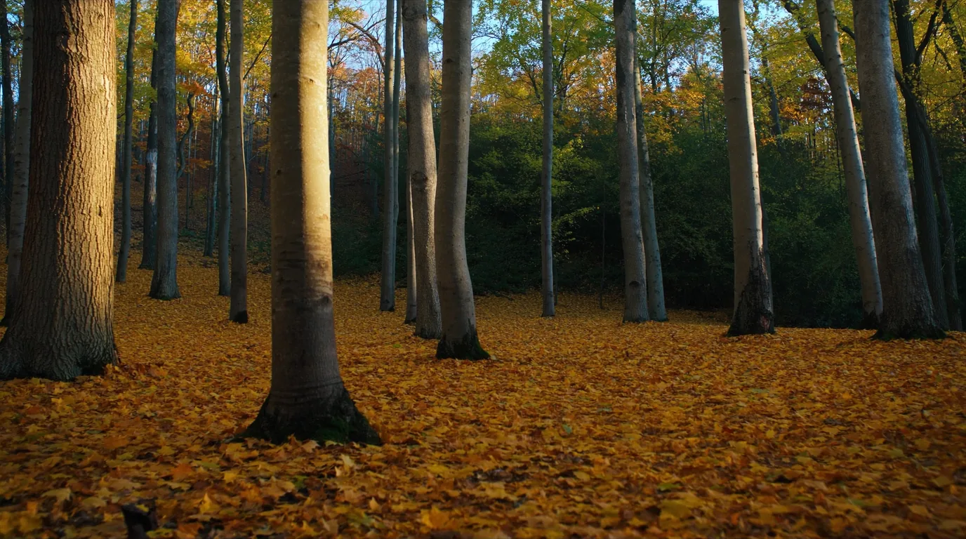
Beech and maple forest in full autumn colour of orange gold and red standing above pale dune sand and deep blue Lake Michigan water, Sleeping Bear Dunes Michigan, ultrarealistic photograph representative of the region
The best fortnight of the year here. Hard colour on the moraine directly above pale sand and blue water — and most visitors miss it.
The recommendationIf you can only come once, come in late September. Warm water, colour on the moraine, empty beaches, and the campgrounds still open and no longer impossible to book. The sand holds summer heat well into the month and Lake Michigan holds it longer than any other lake in this run of guides.
12 / THE SHAPE OF THE TRIP

Four days on the mainland park

Built around the closure. This is the trip that is actually available in 2026, and it is a good one — it simply is not the one with islands in it.

Day 1 — arrive

Buy the federal pass, not a state one. Set up at D.H. Day if you can get in. Empire Bluff in the evening for the orientation view.

Day 2 — the dunes

Dune Climb early with a turnaround time agreed. Inland lake in the afternoon to actually swim. Pierce Stocking at the end of the day for the overlook in low light.

Day 3 — north end

Good Harbor Bay and Pyramid Point. Glen Haven and the maritime buildings. Leland in the late afternoon.

Day 4 — Leelanau

M-22 around the peninsula, orchards, and the Heritage Trail if you have a bike. No entrance fee needed for any of it.

If you have one day

Pierce Stocking, twenty minutes of the Dune Climb, and Empire Bluff. Do not attempt the crossing to the lake as well.

If you were coming for the islands

Then this is a different trip and you should know that before you drive. The mainland park is genuinely worth it — but come back in 2027 for South Manitou.

13 / TRIP-READY

The departure check

Run it before you leave. Most of what goes wrong here is one of three things: the islands, the wrong pass, or the sand.

Seven things that actually go wrong here
  • The Manitou Islands are OUT of the planClosed all 2026, no ferry, no island camping. If your itinerary still has them in it, it is not a 2026 itinerary.
  • Campsite booked six months ahead for a summer weekendNot a fortnight. Both main campgrounds reportedly fill at the six-month mark.
  • Entrance pass bought — the federal one$25/vehicle for 7 days, or $45 annual. A Michigan Recreation Passport does not cover this park.
  • Platte River fee checked at bookingWe would not print it.
  • Water carried for any walk into the dune fieldThere is none out there, and no shade either.
  • Turnaround time agreed before starting the Dune Climb to the lakeBy time, not by distance.
  • Nobody running down the overlook slopeTwo minutes down, a very long time back up, and a published record of rescue costs falling on the person rescued.
14 / QUICK ANSWERS

Asked at the Dune Climb car park

Six questions, answered straight, with the hedge left in where the honest answer has one.

Can I get to the Manitou Islands this year?

No. Both docks are closed for the whole of 2026, no ferry is running, and camping is closed on both islands. Reopening is projected for 2027.

How hard is the Dune Climb to Lake Michigan?

Several hours round trip in soft sand with no shade and no water. Much harder than it looks from the car park, and the return is the hard half.

Does my Michigan Recreation Passport work here?

No. This is a federally managed National Lakeshore. Entrance is $25 per vehicle for up to seven days, or $45 annual.

What does Platte River cost per night?

We could not confirm it. One secondary source says $16, which looks low for electric and showers, and the park did not confirm it. Recreation.gov shows the current figure.

Which campground should I pick?

D.H. Day if you want atmosphere and can camp rustic; Platte River if you need power or a shower.

Can I swim?

Yes — this is the warmest water in this run of guides. Watch for rip currents near piers and river mouths, especially with an onshore wind.

15 / WHAT WE COULD NOT CONFIRM

The honest gaps, all in one place

Every guide has these; most do not print them. Compiled late July 2026.

What this issue would not assert
  • Platte River nightly feeA secondary source gives $16; that looks low for a campground with electric and showers and the National Park Service did not confirm it. No figure printed.
  • Platte River site countNot stated on the page we could read.
  • Whether Platte River is genuinely open year-roundOr simply has a longer season than D.H. Day. Reported as year-round; not confirmed.
  • The nps.gov/slbe campgrounds page did not populateIts fee, site-count or season fields when fetched. Those gaps are the page’s, and this issue does not fill them by inference.
  • Manitou reopening date2027 is a projection, not a commitment. Do not book 2027 travel against it yet.
  • Glen Lake access and watercraft rulesMuch of the shoreline is private and arrangements vary by township. Not sourced.
If you remember one lineThe one that matters most. Everything else here is a detail. The islands being shut for the season is the fact that changes whether this trip is the one you thought you were taking — and it is why it appears at the top of this page rather than buried at the back.
🔒

The printable field guide

Everything above, condensed into a print-ready PDF built for the glovebox — for a coast where the towns are a tank apart, the cell signal disappears for hours, and the lake is cold enough to kill. The fuel-gap plan mapped town by town, the two anchor parks and the corridor's provincial parks, the pictographs, beaches and waterfalls, the cold-water and backcountry rules, the campgrounds by area with honest UNVERIFIED flags, the outfitters and fuel towns, and the honest list of what nobody could confirm — on paper that works where the bars don't.

The fuel gap, mapped Lake Superior PP & Pukaskwa Pictographs, beaches & falls Cold-water & backcountry rules Campgrounds by area Fuel towns & outfitters Fuel-planned routes The departure check
Unlock the PDF — $4.95
$4.95 per guide · Instant access · Built by people who actually camp there
Trail Journal No. 075

Go farther. Camp lighter.
Leave it better.

Every Trekkr Trail Journal is built like this one: custom logistics, honest trail beta, the camping and access detail, and the local knowledge that turns a good trip into the one your crew talks about for years — including, always, a plain list of what we could not confirm. New destinations drop all season long, from the Colorado Rockies to the Utah canyons to the wild Great Lakes shield.

Unlock the Trail Journal Library
↗ Read another issue — No. 051, Grand Canyon National Park
$4.95 per guide · Instant access · Built by people who actually camp there