The largest tract of old-growth northern hardwood west of the Adirondacks, wrapped around a fault-block ridge that looks like nothing else in the Midwest, and a copper peninsula reaching a hundred kilometres out into Lake Superior. The Porkies have changed how they work: the Michigan DNR has eliminated dispersed camping, and every backcountry night is now at one of sixty-five numbered, site-specific pitches you reserve in advance. This issue plans both halves honestly — including the fee we refused to print, because two sources disagreed and the DNR’s own page would not answer.
Checked in late July 2026. One rule change here invalidates most older advice about this park, and one number we simply would not guess at. The Michigan DNR’s own pages return HTTP 403 to automated retrieval, which shaped what this issue can and cannot tell you — and where that blocked a fact, it is named rather than filled in.
The Porcupine Mountains are not mountains in the sense the word usually carries. They are a fault-block escarpment of ancient volcanic rock, worn down and then scoured by ice, standing a few hundred metres above Lake Superior. What makes them extraordinary is not height. It is that the logging never finished here.
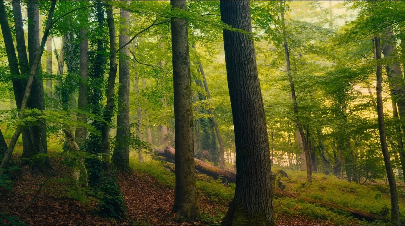
Walking under it is the point. The canopy closes overhead, the understorey opens up, and the light goes green. There is very little of this left anywhere: most of the Upper Midwest was logged to the ground between the 1880s and the 1920s, and what stands here survived largely because a campaign in the 1940s got the state to buy it before the saws arrived.
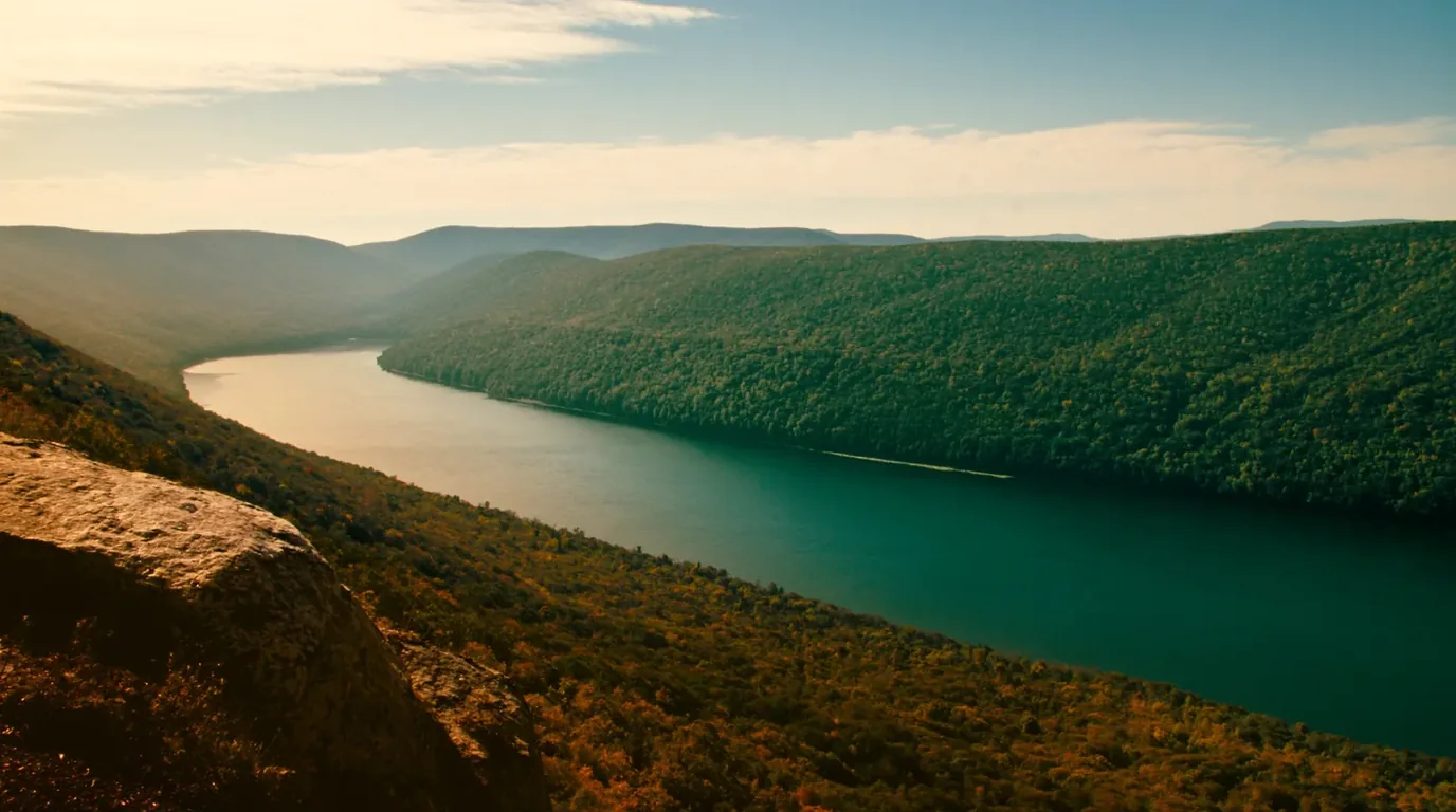
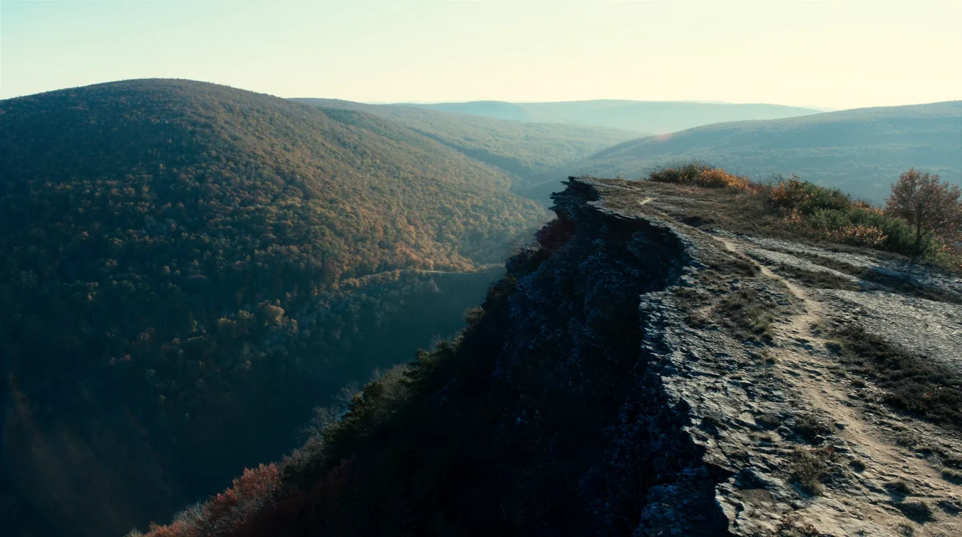
The escarpment itself is the other half of the geology. A hard band of ancient volcanic rock tilted and left standing while softer material eroded away around it, then rounded off by ice. It gives the park something the rest of the Midwest genuinely lacks — a ridge with a drop on one side and a valley you can look down into.
This is the operational heart of a Porkies trip and the thing that has changed. There are sixty-five backcountry campsites. They are numbered, they are site-specific, and each has a metal fire ring. Every backcountry camper needs a permit. Everything below follows from that.
Six months ahead down to seventy-two hours before arrival, at MiDNRReservations.com or 1-800-44-PARKS.
The seventy-two-hour tail is genuinely useful — late cancellations do appear, and this is not a park where everything is gone in January.
One source gives a cap of six people per site. We could not confirm whether that cap applies to every site, so treat six as the working assumption and check at booking if your party is larger.
Scattered through the backcountry and along the shore, and they book harder than the tent sites. If your trip depends on one, six months out is the moment to act, not an option to consider.
The Big Carp is crossed more than once on the classic route. After heavy rain or in spring melt these decide whether your itinerary works.
There is no way to know from home. Ask at the visitor centre on the day.
Two front-country campgrounds bracket the park and they have quite different characters — and they are a long way apart, linked by a drive around the outside of the park rather than through the middle. Choosing between them is choosing which half of the park you are visiting.
On the Lake Superior shore at the eastern end. Tent and RV sites, yurts and cabins, and the only electric hook-ups in the park.
If you are travelling in anything that needs power, this is the answer and there is no second option inside the boundary.
Rustic, at the mouth of the Presque Isle River at the far western end, with sixty drive-in and walk-in sites. No electric.
The river here runs over stepped bedrock through a series of waterfalls in a very short distance, and the boardwalk beside it is the best short walk in the park.
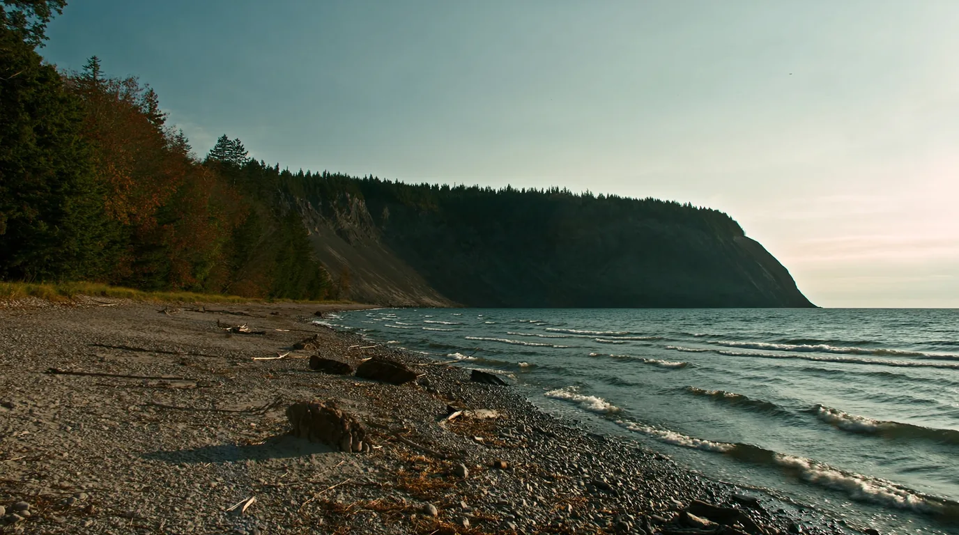
The park has miles of Superior frontage and it is a different landscape again from the ridge and the old growth: cobble and shingle beaches, driftwood, and the escarpment visible inland behind the trees. It is also where the water is, and the water here is dangerous in a way that catches people from warmer lakes.
The overlook above Lake of the Clouds is the most photographed thing in the Upper Peninsula and it is a two-minute walk from a car park. That combination — a genuinely great view with no effort attached — is why almost every visitor sees it, and why almost none of them see the park.
Runs from the Lake of the Clouds car park along the cliff edge above the valley. You can take as much or as little of it as you want, which makes it the most flexible walk in the park.
It is also the walk that most rewards being done at the right time of day rather than the convenient one.
The edge is unfenced for most of its length and the rock is broken and often wet. Keep a distance you have chosen deliberately rather than one the ground chooses for you.
Drop off the ridge into the hardwood and the character changes completely — closed canopy, open floor, green light, and quiet. Most visitors never do this, and most who do rate it above the overlook.
The trail system here is genuinely large for a state park — enough for a multi-day loop without repeating ground, which is unusual anywhere in the Midwest. Three characteristics shape every route you might plan:
Wet clay, roots and rock make Porkies distances walk slowly. A map that says six miles means a day, not an afternoon, and after rain it means more.
Which means most long routes end on the Superior shore, a long way from where you parked. Shuttle logistics are part of planning here, not an afterthought.
Under the new system the distance between two specific pitches is fixed before you leave home. Build shorter days than instinct suggests and you will enjoy all of them.
The Big Carp is crossed more than once. After heavy rain or in melt, this is the thing that decides whether the itinerary works — and it cannot be checked from home.
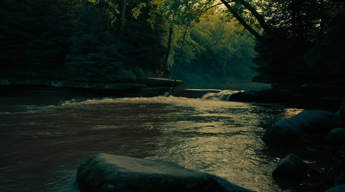
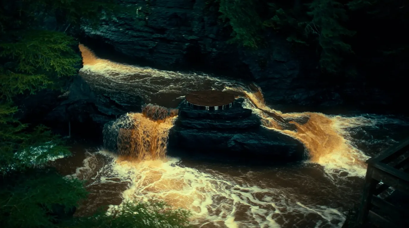
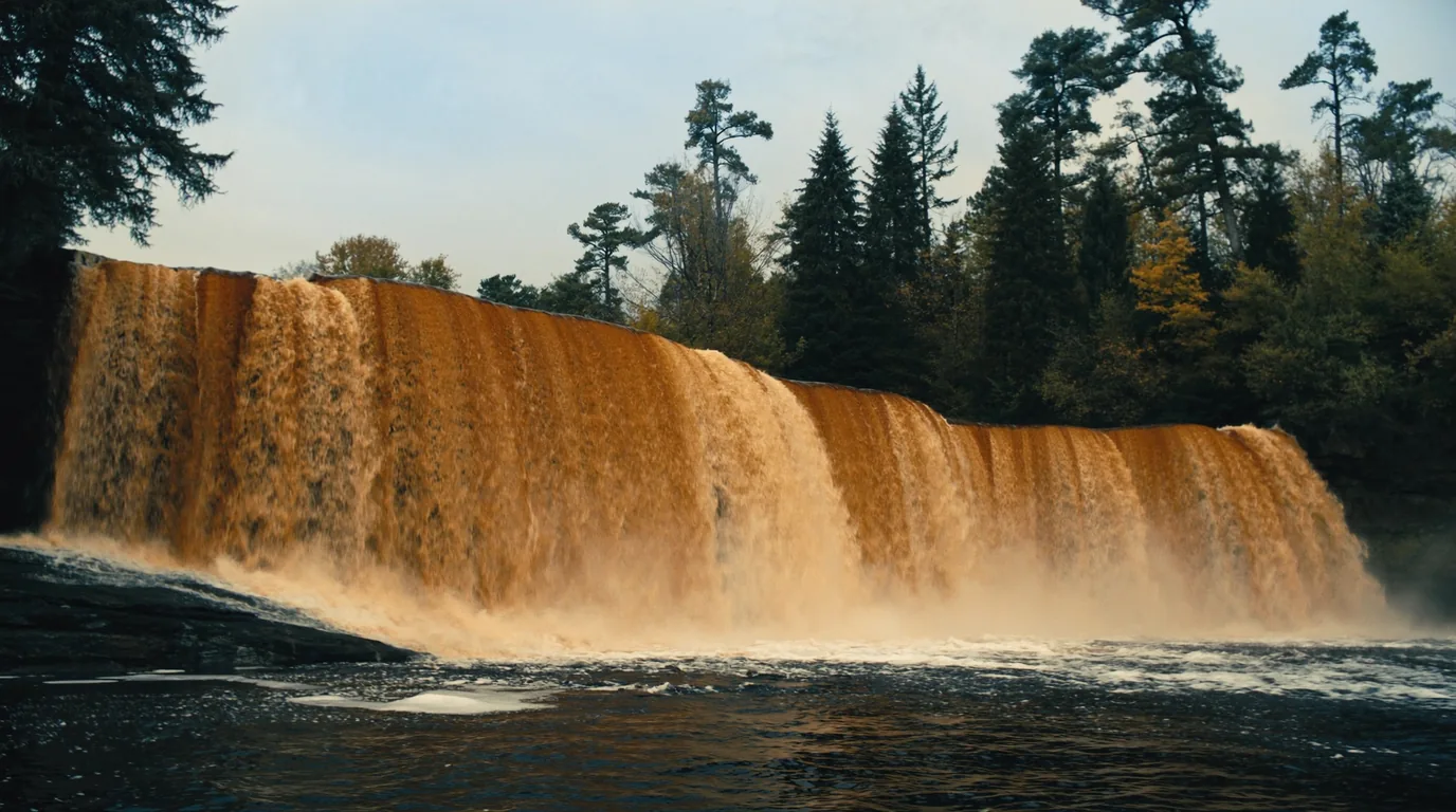
This is wet country. The rivers here run tea-brown with tannin off the forest floor, drop over stepped basalt and conglomerate, and do it in short intense sequences rather than single big falls. The Presque Isle at the western end is the concentrated version.
Heavy clay soils, roots and rock. Trails that read as short on a map walk slowly, and the difference between a dry September and a wet June is not marginal — it is the difference between a pleasant six miles and a grinding one. Waterproof boots are not optional in spring or after rain, and the Big Carp crossings deserve real respect after a wet spell.
North-east of the Porkies the Keweenaw Peninsula runs a hundred kilometres out into Lake Superior. This was the only significant deposit of native metallic copper mined at scale anywhere on earth — copper you could cut out of the rock rather than smelt from ore. It made fortunes, drew immigrants from Cornwall and Finland, and then collapsed.
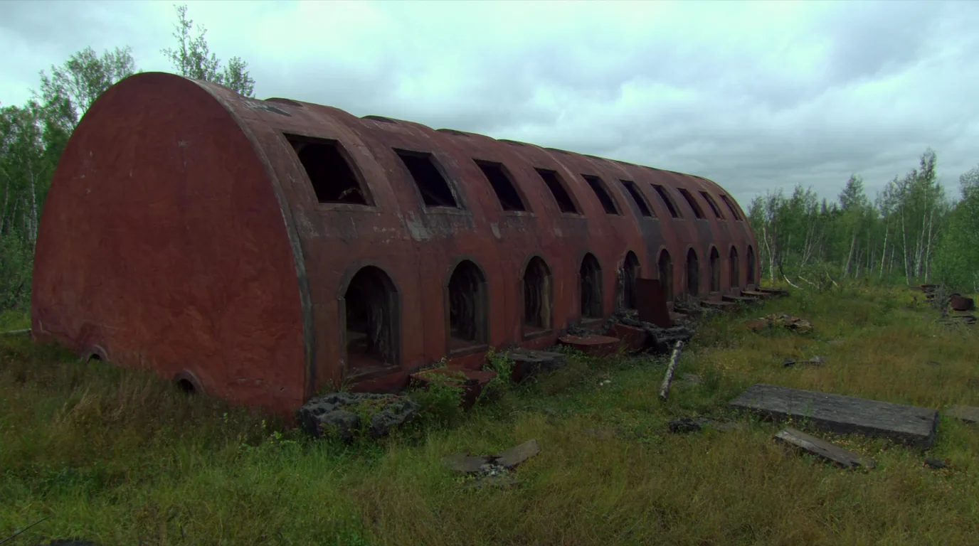
What is left is a peninsula of small towns that were once large, poor-rock piles in the forest, and roofless sandstone engine houses standing in birch regrowth. It is a landscape that reads as wilderness at a glance and as an abandoned industrial region the moment you look properly.
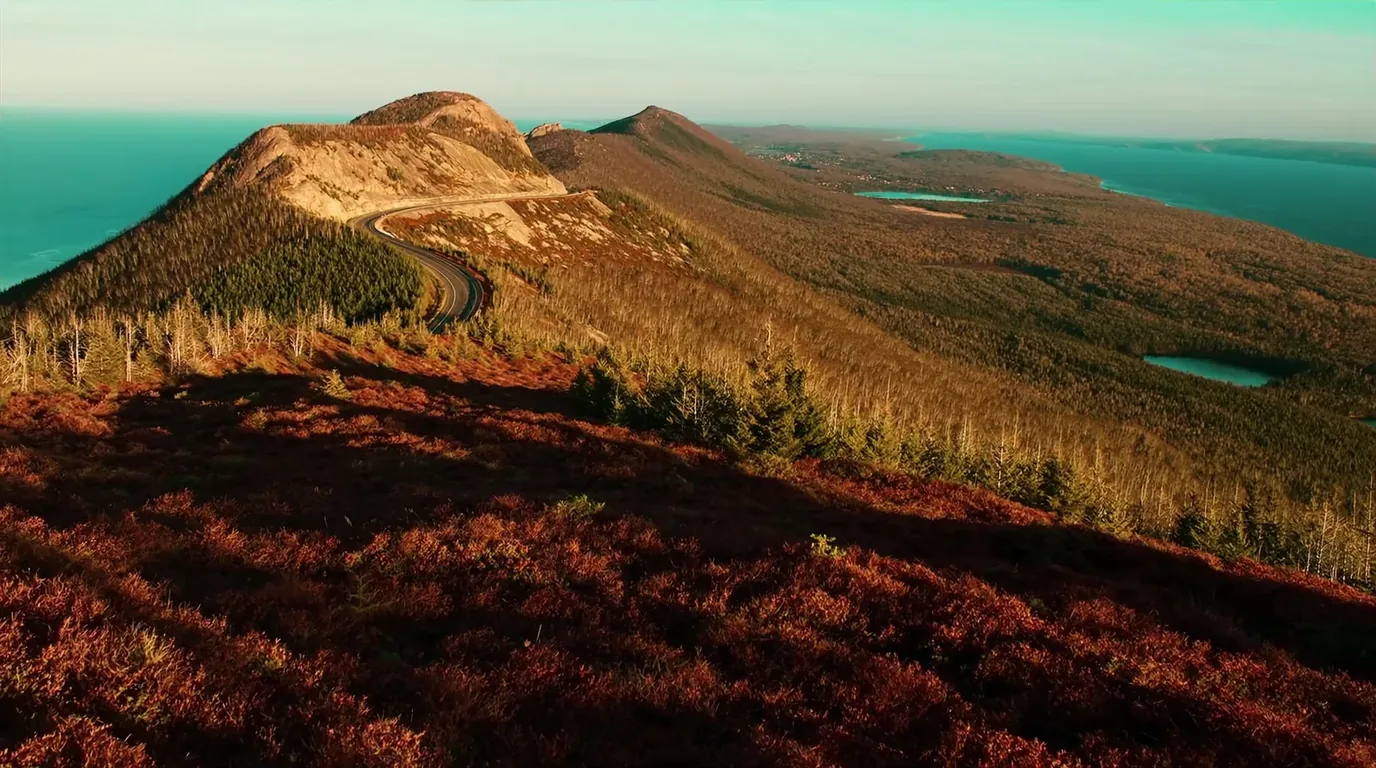
A ridge road above Copper Harbor climbing to a summit with Lake Superior on both sides. It is short, it is paved, and on a clear evening it is the finest half hour of driving in Michigan.
Go in the evening. The point of this road is light, and midday gives you none of it.
F.J. McLain State Park sits on the Superior shore north-west of Hancock, with beach frontage and sunset views straight up the lake.
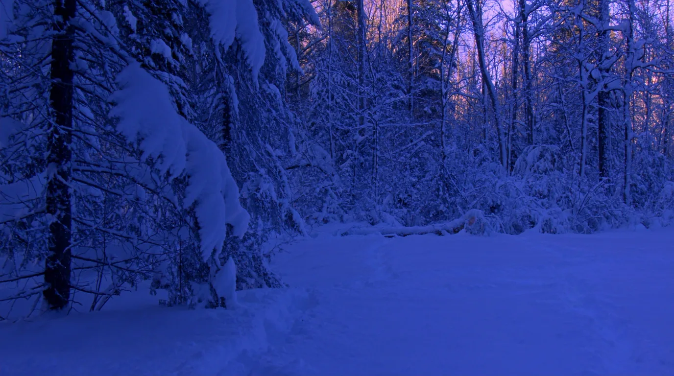
The Keweenaw records some of the heaviest snowfall in the eastern United States — lake-effect snow off Superior, measured in feet rather than inches, over a season that runs long. For a camper this means the usable window is genuinely short and the shoulder is unreliable.
The camping season here is short and the shape of it is unusually well defined by the reservation window itself. The table is the honest version; the paragraph under it is the recommendation.
| Window | What you get | What it costs you |
|---|---|---|
| Mid-May – June | Waterfalls at full volume, old growth leafing out | Black flies and mosquitoes in force; wet, heavy trails |
| July – August | Warmest, driest trails, everything open | Busiest; backcountry sites booked well ahead |
| September – mid-Oct | Hardwood colour through old growth — the best week here | Short days; the reservation window closes 15 October |
| Winter | Deep snow, ski and snowshoe country | Backcountry reservation system closed; access limited |
The phrase "old growth" gets used loosely. Here it means something specific: a northern hardwood forest that was never clear-felled, with trees of an age and size that have been removed from essentially the whole of the Upper Midwest, and a structure that only develops over centuries.
A closed canopy of very large sugar maple, hemlock and yellow birch; an open, shaded understorey; standing dead trees; and enormous fallen trunks in every stage of decay.
That deadwood is not untidiness — it is most of the habitat.
Awkward terrain, distance from the mills, and then a deliberate campaign in the 1940s that got the state to buy the land before the saws reached it. This forest exists because people argued for it.
Under a closed maple canopy in summer the light goes green and the temperature drops several degrees. It is the single most-reported sensation from people walking here for the first time.
Heavy clay, deep leaf litter and a canopy that keeps the ground from drying. Wet is the default state, not the exception, and it is why boots matter more here than mileage.
Stay on the trail even when it is muddy. Walking round a wet patch is how a single-track path becomes a five-metre scar in this soil.
Late September into early October, when the maple canopy turns. It is the reason the autumn fortnight here is the hardest booking of the year.
Black bear are throughout this park, the insect season is a genuine planning factor, and the ground under old growth is more fragile than it looks. None of these is dramatic; all three change how a trip goes.
This is a remote corner of a remote peninsula. Ontonagon and Silver City sit at the eastern approach; Copper Harbor is at the far end of the Keweenaw with a long drive behind it. Neither is a place to assume late opening, and out of season the hours contract sharply.
Alongside the tent sites, this park runs rustic cabins and yurts scattered through the backcountry and along the shore. They are the most sought-after accommodation in the Michigan state park system for good reason, and they change what the trip is — particularly outside high summer.
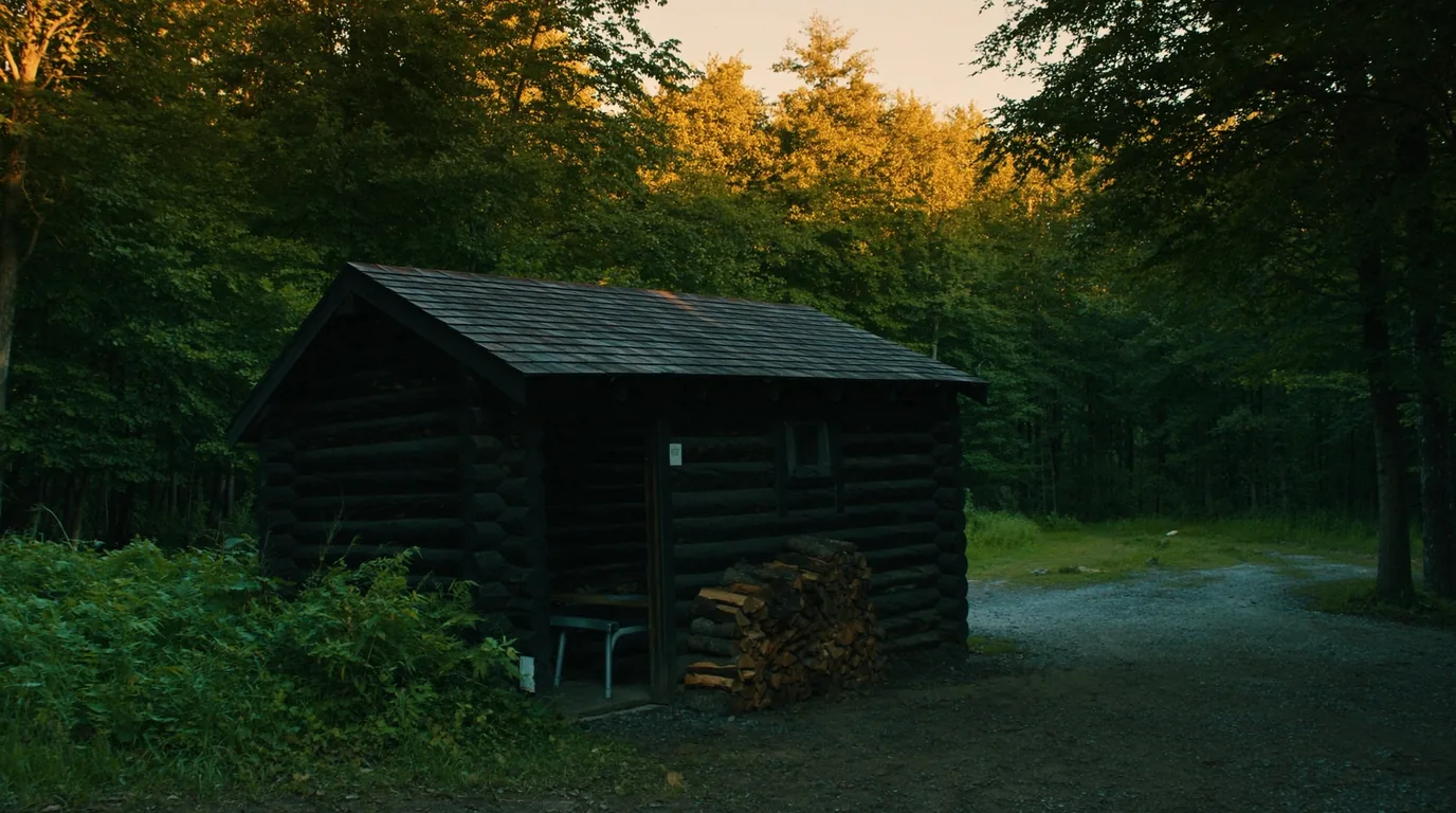
Rustic in the proper sense: a roof, a stove, bunks, and not much else. No plumbing, no power, and you carry water. The appeal is the woodstove and the walls, not the amenities.
There are very few of them, they are the obvious answer to a wet week, and they turn shoulder-season and winter trips from an endurance exercise into a pleasure. Six months out is the moment to act.
Some require a walk in with everything on your back; others are near a road. Those are completely different trips and the booking system will not stop you confusing them.
Availability outside the summer window, and current nightly rates. The DNR pages that would answer both return HTTP 403 to automated retrieval.
This assumes you hold a specific numbered backcountry site or a front-country booking, because without one you do not camp here. One workable shape, not the only one.
Get the Passport on the vehicle. Lake of the Clouds late in the day, when the car park has emptied and the light has depth. Camp Union Bay if you need power, or your first numbered site.
Walk the ridge in the morning while the valley still holds mist. Drop into the old growth in the afternoon — the walking under those maples is what people remember, not the overlook.
Cross to Presque Isle. The boardwalk falls loop first, then the river mouth and the Superior shore. Camp Presque Isle.
North to Copper Harbor. Brockway Mountain Drive in the evening. Fort Wilkins if the loop you want is open — check first.
Lake of the Clouds, twenty minutes of the Escarpment, and the Presque Isle boardwalk. Do not attempt the Keweenaw as well — the drive will eat the day.
Do the classic Big Carp / Little Carp backpack site-to-site, then give the Keweenaw two days rather than an afternoon. It deserves them.
Run it before you leave. Most of what goes wrong here comes back to two things: the camping rule changed, and the state’s own pages would not tell us some of what you need.
Six questions we hear at the trailheads, answered straight, with the hedge left in where the honest answer has one.
No. The DNR eliminated dispersed camping. All backcountry nights are at one of sixty-five numbered, site-specific pitches, reserved in advance.
We could not confirm it. Two sources gave different figures and the DNR’s page would not load for us. MiDNRReservations.com will tell you at booking.
Yes — a Michigan Recreation Passport for vehicle entry, which is annual and per-vehicle rather than per-night.
Yes, and it is a short walk from the car park. It is also where most visitors stop; the park behind it is the better half.
At Union Bay only. There is no second option inside the park.
Both had electrical upgrade works in 2026 with dates that conflicted between sources. Check MiDNRReservations.com rather than trusting any date, including ours.
Gathered here rather than buried. The recurring cause is that michigan.gov returns HTTP 403 to automated retrieval, so the DNR’s own pages could not be read. Compiled late July 2026.
Everything above, condensed into a print-ready PDF built for the glovebox — for a coast where the towns are a tank apart, the cell signal disappears for hours, and the lake is cold enough to kill. The fuel-gap plan mapped town by town, the two anchor parks and the corridor's provincial parks, the pictographs, beaches and waterfalls, the cold-water and backcountry rules, the campgrounds by area with honest UNVERIFIED flags, the outfitters and fuel towns, and the honest list of what nobody could confirm — on paper that works where the bars don't.
Every Trekkr Trail Journal is built like this one: custom logistics, honest trail beta, the camping and access detail, and the local knowledge that turns a good trip into the one your crew talks about for years — including, always, a plain list of what we could not confirm. New destinations drop all season long, from the Colorado Rockies to the Utah canyons to the wild Great Lakes shield.
Unlock the Trail Journal Library