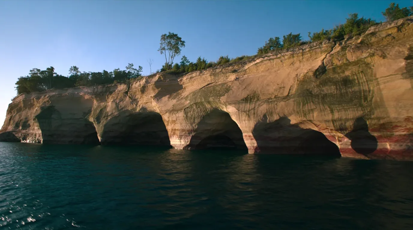
Layered sandstone cliffs streaked with mineral stains of orange, green and black rising straight out of the clear cold turquoise water of Lake Superior, dark conifer forest along the clifftop, Pictured Rocks Michigan, ultrarealistic photograph representative of the region
Trekkr Trail Journal · No. 071 · Pictured Rocks

Pictured RocksMichigan — forty-two miles of painted sandstone, one county road, and three campgrounds you cannot turn up at

Forty-two miles of painted sandstone on the coldest of the Great Lakes, reached by one county road that is only half plowed in winter. The cliffs are the photograph; the trip is decided by something less romantic. Every drive-in campground here is now reservation-only — the National Park Service says plainly that there is no drop-in camping — and the park does not take cash at the gate. This issue plans the corridor the way it actually works: the three campgrounds and the RV limit that is a prohibition at one of them and merely advice at the other two, the backcountry permit system that will not let you change your mind, and an honest list of what we could not confirm.

Michigan · USA Munising · Grand Marais · County Road H-58 Miners Castle · Chapel Basin · the Au Sable Light Reservation-only camping · cashless park
0Drop-in campsites. All three campgrounds are reservation-only.
$25Per vehicle for seven days — and the park accepts no cash.
6 monthsRolling backcountry permit window. Bookings cannot be modified.
1 Dec – 31 MarH-58 unplowed east of Adams Trail. No through route.
00 / READ FIRST

Conditions at press time

Everything below was checked against the National Park Service’s own pages in the last days of July 2026. Where a page would not give up an answer, this issue says so rather than filling the gap. The rest of this journal is evergreen; this block is not.

Verified late July 2026 · booked-only camping, no cash, and one closure list we could not read
  • All three drive-in campgrounds are reservation-onlyThe NPS camping page states there is no drop-in camping. Arrive at Twelvemile Beach at dusk without a booking and you do not camp there. This is the largest single change from how this park used to be travelled, and it is the one that strands people.
  • The park does not accept cashEntrance is $25 per private vehicle for seven days, or $15 per person on foot, bicycle or boat. Bring a card or buy the pass online before you lose signal.
  • Backcountry permits run on a six-month rolling windowAnd cannot be modified once booked. Changed 21 July 2025. Book the site you will actually use, because you will not be able to change your mind.
  • H-58 is only half plowed in winterMunising east to Adams Trail is maintained. Adams Trail through to Grand Marais is not, and belongs to snowmobiles from 1 December to 31 March.
  • We could not read a current closure listThe park’s Current Conditions page carries an alerts section that was empty when we checked, and the page’s own last-updated stamp was April 2026. That is not the same as the park being free of closures. Phone Munising Falls Visitor Center on 906-387-3700 before you commit to a plan that depends on a specific road, trail or overlook.
  • The Log Slide viewing platform is unresolvedIt was damaged in winter 2017. The most recent NPS statement we could locate said it had not been rebuilt, and that statement is old. The site and the trail to it are open either way. Do not plan around a platform we cannot confirm exists.
In one lineThe honest headline. This is a park where the scenery is easy and the logistics are not. Nothing here is hard to do — but almost all of it has to be booked, and one road carries the whole thing.
01 / THE HOOK

Painted sandstone on the coldest of the Great Lakes

The cliffs run for forty-two miles along the Lake Superior shore east of Munising, and the colour is not paint or lichen — it is mineral-stained groundwater seeping through porous sandstone and drying on the face. Iron gives the reds and oranges, copper the blues and greens, manganese the blacks and browns. The lake does the rest, undercutting the base into arches, caves and detached pillars.

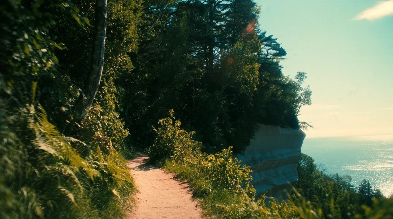
A narrow footpath running along the top of high layered sandstone cliffs above the clear cold water of Lake Superior with birch and conifer forest inland and an open horizon, North Country Trail Michigan, ultrarealistic photograph representative of the region
The North Country National Scenic Trail runs the clifftop for the length of the park. Most of the backcountry campsites are strung along it.

You can see the cliffs three ways: from a boat, from the water in a kayak, or from the trail along the top of them. Each shows you something the others do not, and only one of them is free and always available.

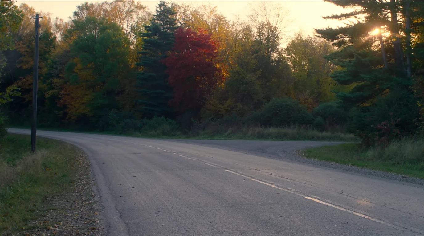
A two-lane county road running through a tunnel of hardwood forest in full autumn colour of gold and orange, no traffic, Michigan Upper Peninsula, ultrarealistic photograph representative of the region
County Road H-58. One road carries this entire park, and in winter only half of it is plowed. Everything in this issue hangs off it.
The single most common planning mistakeThe park is longer than it looks. Munising to Grand Marais by road is a real drive, not a hop, and the two ends are genuinely different landscapes — cliffs at one, sand at the other. Trying to do both in a day means spending the day driving past the thing you came for.
02 / CAMPING

Three campgrounds, all reservation-only, and one stricter than the others

There are three drive-in campgrounds inside the lakeshore. All three cost $25 a night, all three run 15 May to 15 October, and all three are reservation-only through Recreation.gov. The National Park Service states there is no drop-in camping. Plan accordingly.

CampgroundSitesFeeSeasonVehicle limit
Twelvemile Beach36$2515 May – 15 Oct36 ft single / 42 ft combined recommended
Hurricane River21$2515 May – 15 Oct36 ft single / 42 ft combined recommended
Little Beaver Lake8$2515 May – 15 Octover 36 ft single / 42 ft combined prohibited
The asymmetry that catches RV travellersRead that last column twice. At Twelvemile Beach and Hurricane River the length limit is written as a recommendation. At Little Beaver Lake it is a prohibition. That is the National Park Service’s own wording, not ours, and it is the difference between a tight turn and a rule you are breaking. Little Beaver Lake has eight sites on a narrow spur; treat the limit as absolute.
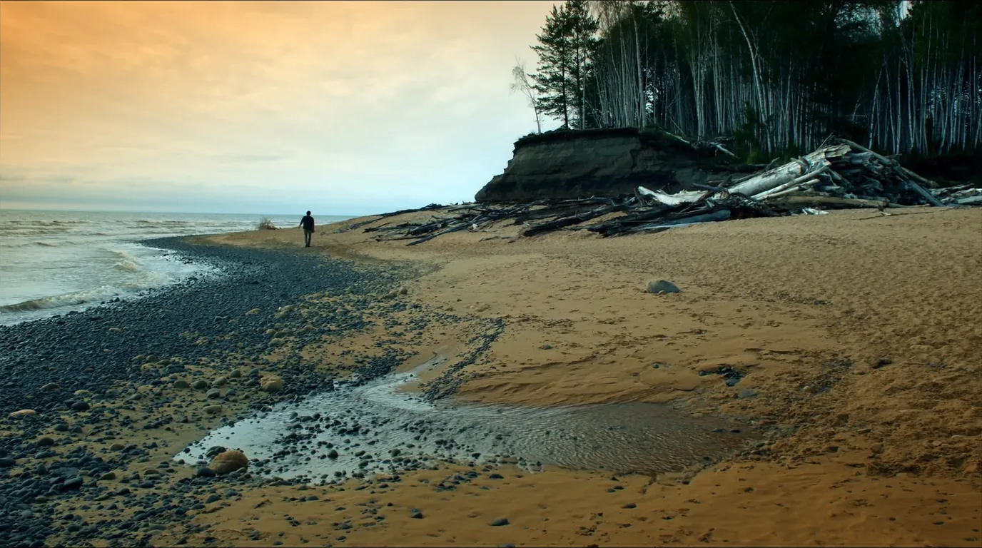
A long empty sand beach below low wooded bluffs on Lake Superior with clear shallow water and driftwood along the tideline, Pictured Rocks Michigan, ultrarealistic photograph representative of the region
Twelvemile Beach. Thirty-six sites, a generator-free west loop, and a great deal of sand to walk on — but you will not get in without a booking.

Booking, and what "reservation-only" actually costs you

The change from first-come to reservation-only is not a small administrative difference. It removes an entire style of travel from this park — the one where you drive the coast, see what the weather is doing, and pick a campground in the afternoon. That style is gone, and the practical consequences run further than most visitors expect:

Your itinerary is fixed before you leave

Which end of the park you sleep at on which night is decided at booking. If the weather turns and the west end is fogged in, you cannot simply move east for the night.

There is no late fallback inside the park

Sixty-five drive-in sites, all booked. Arriving at dusk without a reservation means looking outside the lakeshore entirely, in a region where that is not a two-minute problem.

The generator-free loops need asking for

The system will happily give you a site next to a generator. If quiet matters, name it at booking — afterwards is too late.

Eight sites vanish if you have a dog

Little Beaver Lake allows no pets. That is the whole of one campground removed from your options before you begin.

The details that decide which one you want
  • All three have vault toilets and well waterBackcountry sites have neither. Carry a filter if any night is out.
  • Twelvemile Beach has a generator-free west loop; Hurricane River has generator-free sitesIf quiet matters, ask for those specifically when you book — the reservation system will not know that you care.
  • Little Beaver Lake does not allow petsThe other two allow them on a six-foot leash. If you travel with a dog, that single line removes eight of the park’s sixty-five drive-in sites from your options before you start.
03 / BACKCOUNTRY

Thirteen areas, and no changing your mind

Backcountry camping is $5 per person per night across thirteen designated camping areas, most of them strung along the North Country National Scenic Trail as it follows the clifftop. Each area holds three to six individual sites for one to six people. Eight separate group sites take parties of seven to twenty.

The six-month rolling window

Permits open on a six-month rolling window, changed on 21 July 2025. That means availability appears continuously rather than in a single annual rush.

You cannot modify a booking

Once made, a backcountry reservation cannot be modified. Not the date, not the site. Decide properly before you confirm, because the only remedy is to book again.

Sites are specific

You camp in the designated area your permit names. The clifftop has no dispersed camping and no informal alternatives.

Water and waste

No well water out here. Filter and treat, and carry out everything. The soil on the clifftop is thin and heavily walked.

Book conservativelyThe practical consequence of "cannot be modified". Book the site you will actually use on the day you will actually be there. Optimistic bookings — a long day you hope you can walk — are unusually expensive here, because the system offers you no way back.

Walking the clifftop, end to end

The North Country National Scenic Trail runs the full length of the lakeshore along the top of the cliffs, and walking it as a multi-day trip is the best way to see this park. It is not technically difficult — the elevation is modest and the surface is mostly good — but it has three characteristics that shape the trip:

It is linear

The trail runs one way along a coast. That means a shuttle, two vehicles, or an out-and-back, and the logistics need solving before you book the sites — which you then cannot change.

Water is on your left and unreachable

You will walk all day beside the largest freshwater lake on earth and be unable to get to it for long stretches. Carry and treat from the designated points, not from wherever looks convenient.

The edge is the view and the hazard

The best walking is also the most exposed. Soft sandstone, undercut lips, and long sections with no barrier. This is a trail to walk with your eyes up and your feet deliberate.

Sites are spaced, not continuous

Thirteen designated areas across forty-two miles. Your day lengths are set by where they are, not by how you feel — and you booked them six months ago.

Often missedGroup parties. Eight separate group sites take parties of seven to twenty. If you are organising a larger trip, these are a different booking and worth finding early — splitting a group of nine across individual sites is not how the system is meant to work.
04 / THE MUNISING END

Miners Castle, Miners Beach, Munising Falls

The western end is the accessible end. It has the visitor center, the boat docks, the paved viewpoint, and the shortest walks to real scenery. If you have one day, this is where to spend it.

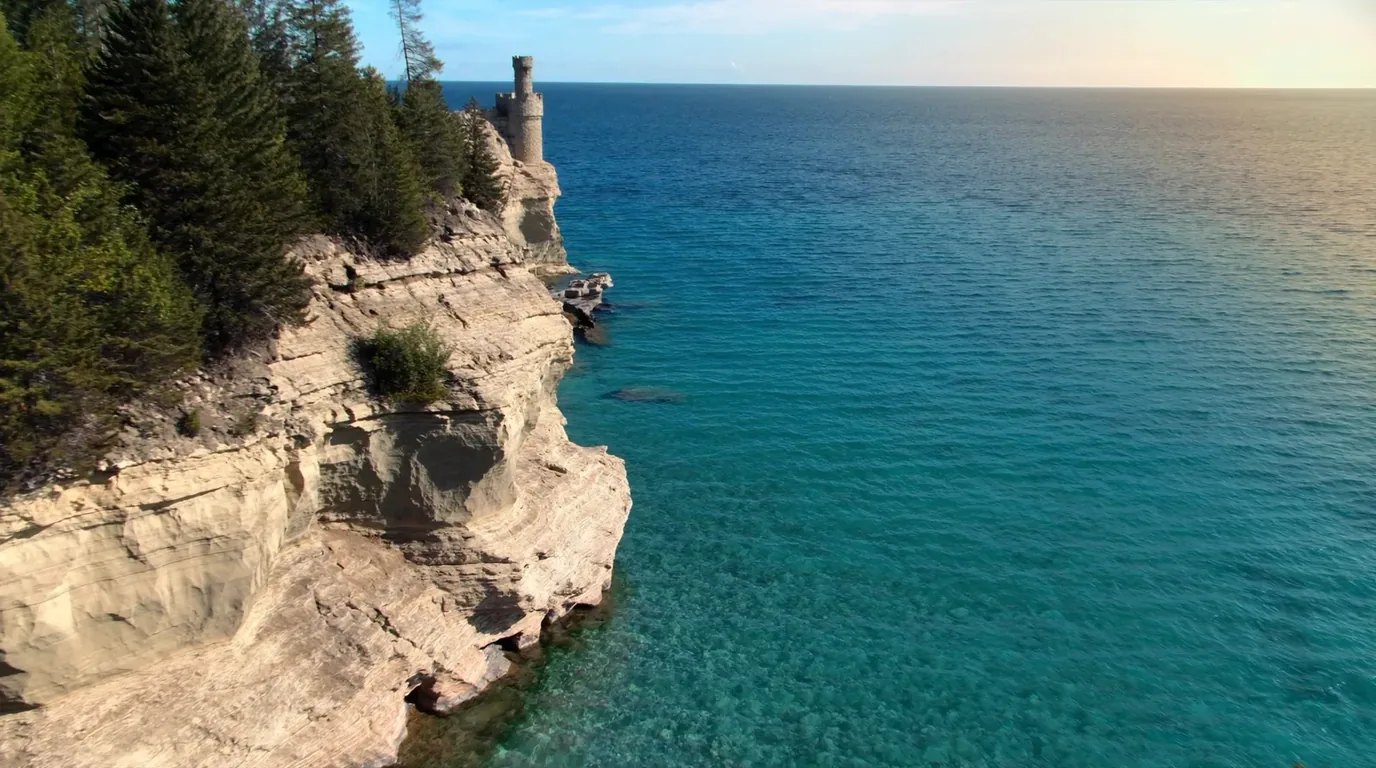
A turreted sandstone promontory standing out over Lake Superior with turquoise shallows and deep blue water beyond, layered rock and conifers on top, Miners Castle Pictured Rocks Michigan, ultrarealistic photograph representative of the region
Miners Castle. The one formation you can drive to, on a short paved path to viewing platforms. The single most photographed thing in the park, and it earns it.

Paved, accessibleMiners Castle

A short paved path leads to viewing platforms above a turreted sandstone promontory standing out over water that reads turquoise over the shallows and deep blue beyond.

Miners Beach sits below — a cobble-and-sand strand at the foot of the cliff line, and the easiest place in the park to stand at the base of the wall rather than on top of it.

Paved pathViewing platformsBusy midday
An hour
Late afternoon light

Best short walkMunising Falls

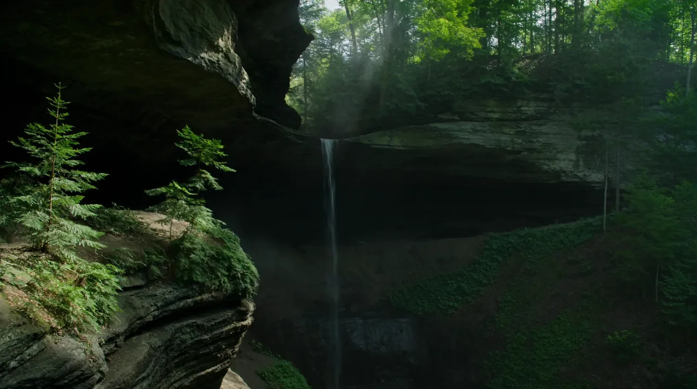
Drops into a shaded sandstone amphitheatre a short walk from its own visitor center. It is green, damp and cool even in August, and it is the best short walk in the park for anyone not up for a clifftop day.

Very shortShaded & coolOwn visitor center
Half an hour
Good in rain
A slender waterfall dropping into a mossy green sandstone amphitheatre with damp rock walls and ferns, deep shade and filtered light, Munising Falls Michigan, ultrarealistic photograph representative of the region
Munising Falls. Cool and green even in August, and a two-minute walk from the car.
Not sourced hereBoat tours and the Grand Island ferry. Both operate from this end and both are the standard way to see the cliff faces properly. We have not printed schedules or prices — they were not sourced to a standard we would stand behind. Book directly and confirm before you build a day around a sailing.

Three ways to see the cliffs, and what each gives you

The single most common disappointment at Pictured Rocks is a visitor who drove a long way, walked the clifftop, and never actually saw the painted faces — because from directly above them you cannot. Decide early which of these you are doing, because they suit different days and different weather:

From a boat

The only way to see the full cliff faces the way the photographs show them. Weather dependent, seasonal, and the option most people should take if they only get one.

Nothing about schedules or operators is printed in this issue — not sourced.

From a kayak

The closest and the most exposed. Superior is cold enough to be dangerous in any month, the cliff section offers no landings for long stretches, and conditions change faster than the paddle back takes. Guided is the right answer for most.

From the clifftop

Free, always available, and the best walking — but you are on top of the formations rather than looking at them. Superb views along the coast; almost no view of the painted rock itself.

Plan around this, not around mileageThe combination that works. Boat or kayak for the faces, clifftop for the walking, and the eastern dunes for a completely different landscape. Trying to get all three plus Chapel Basin into two days is the plan that sends people home tired and underwhelmed.
05 / CHAPEL BASIN

The best day walk here, and the one to book early

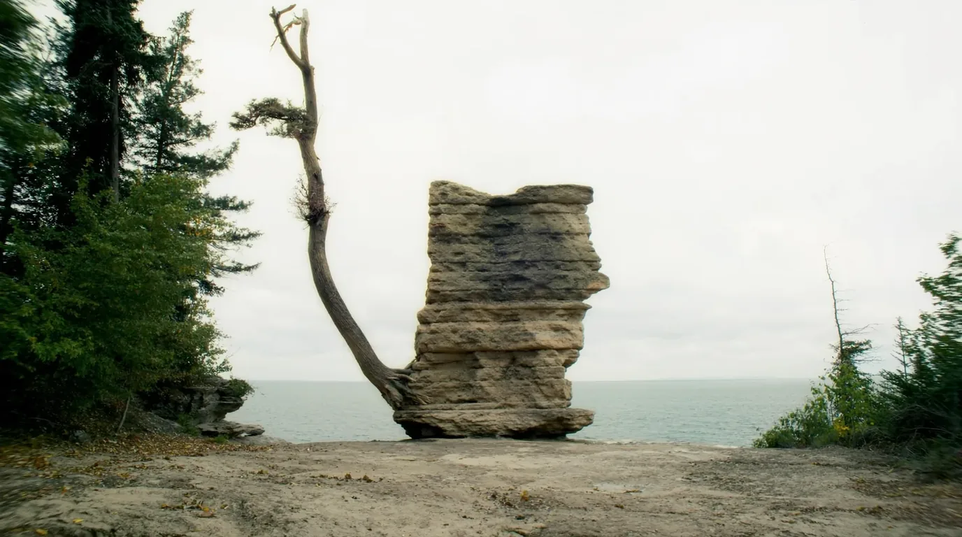
Chapel Basin holds the concentration of scenery that makes this park worth a whole trip rather than an afternoon: a waterfall into a gorge, a beach at the foot of the cliffs, and a sandstone pillar with a tree growing on top of it whose roots bridge back to the mainland.

A detached sandstone pillar standing separate from the shoreline cliff with a single white pine growing on its flat top and roots running horizontally through the air back to the mainland, clear Lake Superior water below, Chapel Rock Michigan, ultrarealistic photograph representative of the region
Chapel Rock. The arch that once carried those roots collapsed, and the roots stayed. It is genuinely unusual, and it photographs badly in the middle of the day — go early or late.

The full dayThe Chapel Basin loop

The classic day here links Chapel Falls, Chapel Beach, the clifftop trail and Mosquito Beach into a long loop. It is a full day on foot and it is the best walking in the park.

Start early. The clifftop is better before the middle of the day flattens it, and you will want the time in hand at the far end.

The clifftop section runs close to unfenced edges of soft sandstone. This is not a place to walk while looking at a phone.

Full-day loopUnfenced clifftopStart early
A full day
Carry more water than you think
One road we would not vouch forAccess caution. We could not confirm the current status of the road serving Chapel Basin from any source we would print. It is a gravel spur with a history of seasonal condition problems. Ring the park before driving it with anything low, long or heavy.
06 / THE GRAND MARAIS END

Sand, a lighthouse, and a slope you should not slide

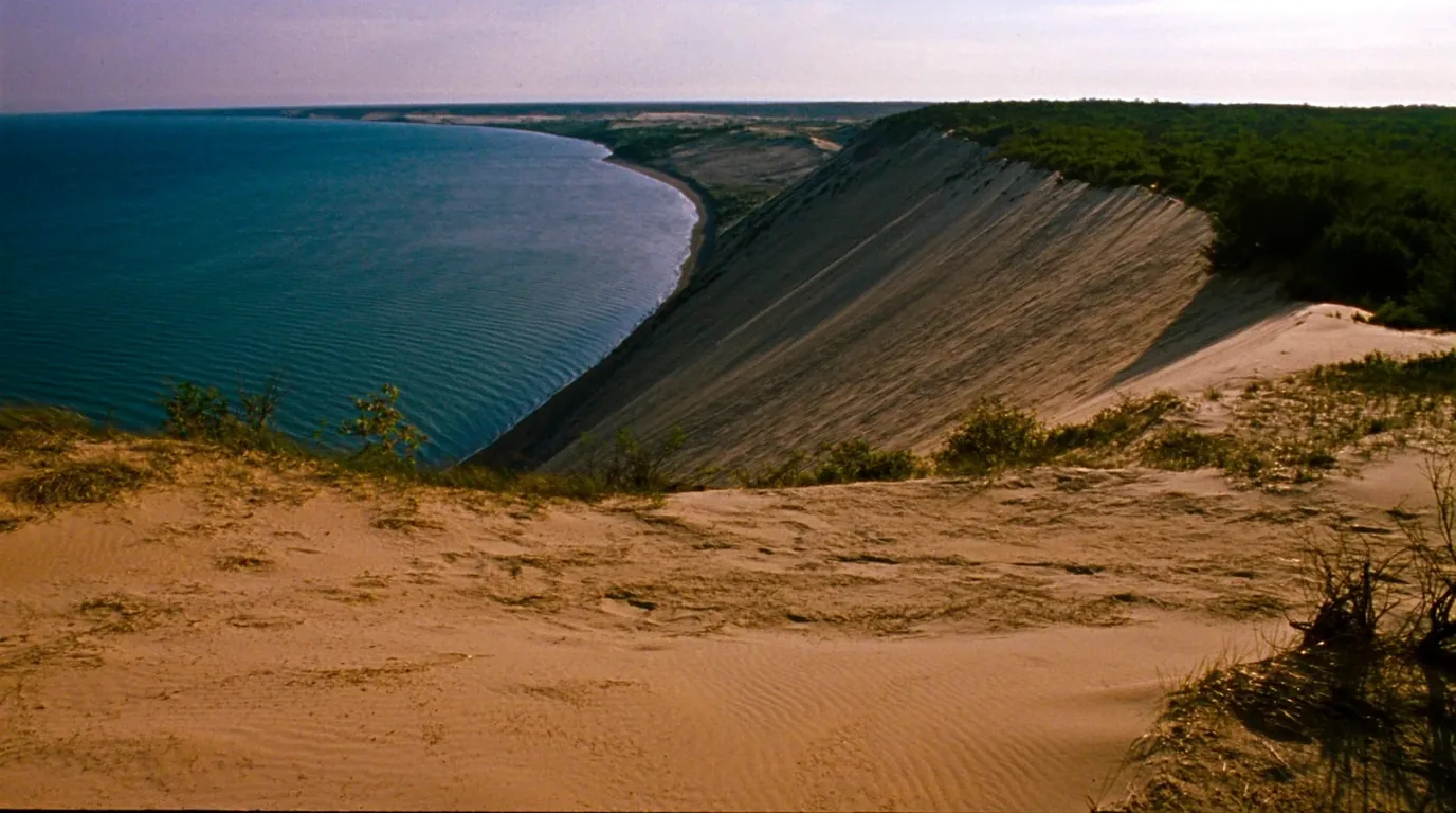
East of the cliffs the park becomes sand. The Grand Sable Banks rise several hundred feet directly from the shoreline with a perched dune field on top of them — a genuinely different landscape from the western half, and much less visited.

A high perched dune field of pale sand standing above the deep blue water of Lake Superior with sparse grass and a long empty shoreline below, Grand Sable Dunes Michigan, ultrarealistic photograph representative of the region
The Grand Sable Dunes. Sand sitting on top of banks that rise several hundred feet straight out of the lake.
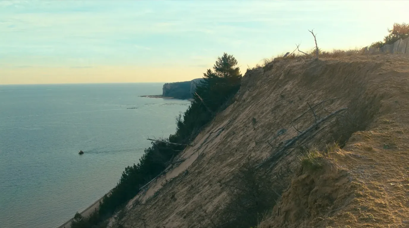
A steep slope of loose pale sand falling roughly three hundred feet from a wooded clifftop directly to the Lake Superior shoreline, viewed from the top, Michigan Upper Peninsula, ultrarealistic photograph representative of the region
The Log Slide. Where nineteenth-century loggers sent timber down to the water. The angle looks inviting from the top. It is not.
The specific hazard at this endPeople do descend the Log Slide. The climb back is the problem. It is roughly three hundred feet of loose sand at a steep angle, it takes far longer than the descent, and the park has run rescues here. If you go down, budget an hour or more to come back up, and do not start late in the day.

Best easy walk in the eastThe Au Sable Light Station

Sits on a low wooded point reached on foot from the Hurricane River campground. The walk is flat, follows the shoreline, and passes shipwreck timbers on the beach when the lake is low.

It is the most rewarding easy walk in the eastern half of the park.

Flat shoreline walkShipwreck timbersFrom Hurricane River
Half a day
Any weather
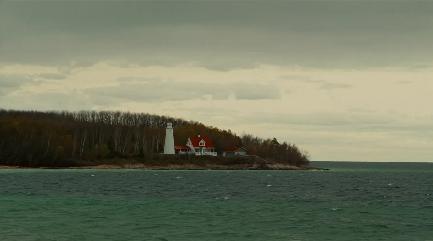
A white lighthouse and keeper buildings standing on a low wooded point beside Lake Superior with a pebble shoreline and open water beyond, Au Sable Light Station Michigan, ultrarealistic photograph representative of the region
The Au Sable Light. Reached on foot along the shore from Hurricane River — flat, easy, and better than it sounds.
07 / THE WATER — READ BEFORE YOU GET IN

The lake will not warn you

Lake Superior is the largest freshwater lake in the world by surface area and it is cold enough to be dangerous in every month of the year. This is the single most under-stated hazard in casual writing about this coast, so here it is stated plainly.

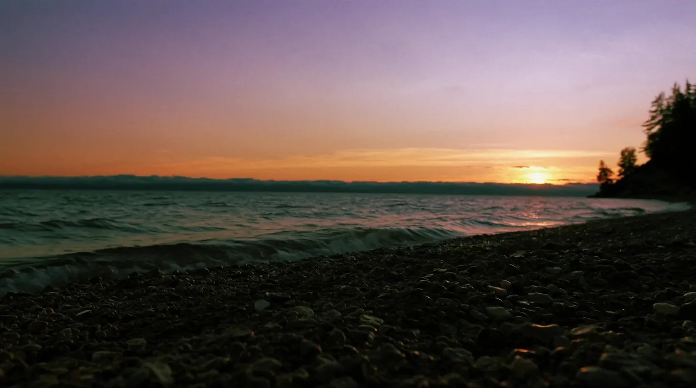
Sunset over Lake Superior seen from a beach of smooth rounded cobbles with warm low light on cold grey-blue water and dark conifers along the shore, Michigan Upper Peninsula, ultrarealistic photograph representative of the region
Wading is fine. Swimming is a decision, not a default. The water in this photograph is cold enough to cause an involuntary gasp on immersion in any month.
Three things that make this coast different
  • Cold shock is the immediate risk, not hypothermiaSudden immersion triggers an involuntary gasp and rapid breathing. If your head is under when that happens, you inhale water. This kills strong swimmers and it kills them fast.
  • The shoreline offers few exitsAlong the cliff section there is nowhere to climb out for long stretches. Falling in from the clifftop trail is not a swim; it is a serious emergency.
  • Rip currents and longshore drift occur on the beachesParticularly with an onshore wind after a blow.
On paddlingIf you kayak this coast, understand that the cliff section has no landing options and that conditions on Superior change faster than the paddle back takes. Guided trips exist here for exactly that reason.
08 / HOW THE CLIFFS GOT PAINTED

Sandstone, groundwater and a very patient lake

The colour is the first question everyone asks, and the answer is more interesting than the usual guess. Nothing here is painted, stained by algae, or the natural colour of the rock. It is dissolved metal arriving from behind the cliff face and drying on the front of it.

The rock

Layered sandstone, laid down as sediment and cemented into rock — porous enough for groundwater to move through it, soft enough for the lake to undercut it, and layered enough to break along clean horizontal lines.

The water

Groundwater seeps through the rock and emerges on the face carrying dissolved minerals. When it evaporates, the mineral stays behind as a streak.

The colours

Iron gives the reds and oranges. Copper gives the blues and greens. Manganese gives the browns and blacks. The banding follows the seep lines, which is why the streaks run vertically down a horizontally bedded cliff.

The shapes

Arches, caves, detached pillars and undercuts are all the lake working at the base of a soft rock. Chapel Rock is what happens when the arch finally goes.

Why it is still happening

None of this is finished. Sections collapse, seeps move, and the face you photograph is a snapshot of a process rather than a monument.

What it means underfoot

The same softness that makes the cliffs beautiful makes the clifftop edge unreliable. Sandstone edges undercut invisibly from above.

Soft rock, high edgesThe practical consequence. Every clifftop viewpoint in this park stands on rock that is actively being eaten from below. Stay back from lips, keep off anything that overhangs, and treat a worn informal path towards an edge as evidence of other people’s poor judgement rather than of safe ground.
09 / WILDLIFE, INSECTS & LEAVE NO TRACE

Black bears, thin clifftop soil, and the six weeks nobody warns you about

This is northern hardwood and boreal transition country with black bear throughout, and a bug season that is a genuine planning factor rather than a footnote. The animal that shapes most trips here has wings.

What actually affects your trip
  • The insects are the underrated hazard to enjoymentBlack flies and mosquitoes are in force from late May through June. A head net, treated clothing and a bug-proof tent are not optional in that window, and their absence in September is most of why the autumn here is so highly rated.
  • Black bears are present throughoutStore food properly at drive-in sites and hang or canister it in the backcountry. A bear that learns campsites means food is a bear with a short future.
  • Clifftop soil is thin and heavily walkedThe backcountry areas along the North Country Trail concentrate use on a narrow strip. Camp in the designated spots, keep to the trodden line, and do not widen the trail around a wet patch.
  • Everything comes out with youIncluding food waste and anything you burned but did not consume. There is no collection out there.
  • TicksPresent in the warm months. Check properly at the end of a day in vegetation rather than assuming.
Pick your compromise deliberatelyThe honest seasonal trade. June gives you full waterfalls, an empty park and genuinely bad insects. September gives you thinner water, more people than June, colour, and no bugs at all. Most people who have done both go back in September.
10 / FUEL, SIGNAL & SUPPLIES

What the corridor does and does not have

Munising at the west end and Grand Marais at the east are the two towns. Munising is the larger and carries most services. Grand Marais is small, and being small at the end of a long road means its opening hours matter more than its existence.

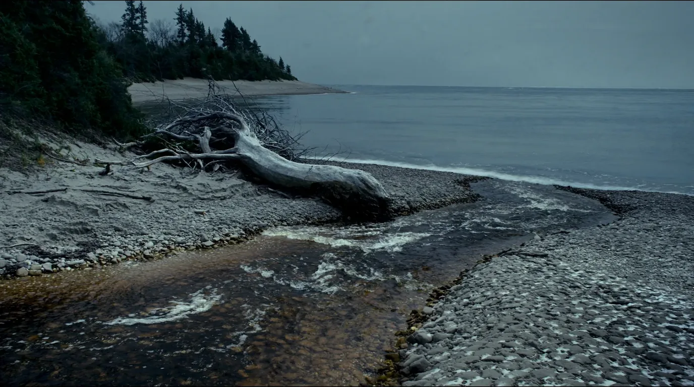
A tannin-dark river running out over cobbles into the clear cold water of Lake Superior with forest along both banks and an open lake horizon, Hurricane River Michigan, ultrarealistic photograph representative of the region
Hurricane River. The campground here is the trailhead for the Au Sable Light walk and one of only three places in the park you can drive to a site.
The corridor, practically
  • Fuel: fill in Munising or Grand Marais, not between themWe have deliberately not printed a distance for the gap between fuel stops, because we could not source one we would stand behind. Treat the corridor as having none and you will not be caught out.
  • Signal: patchy to absent along much of H-58 and the clifftop trailDownload maps and your reservation confirmations before you leave town.
  • Payment: the park takes no cashYour card, or a pass bought in advance, is the only way through the entrance.
  • Water: the three campgrounds have well waterBackcountry sites do not — carry a filter and treat lake water.
Do this from homeBuy the pass before you need it. $25 per vehicle for seven days, $15 per person on foot or by bike or boat, or $45 for a park annual. An America the Beautiful pass covers it. Because the park does not take cash and signal is unreliable, the worst place to first think about this is at the boundary.
11 / WINTER ON THE CORRIDOR

Half a road, frozen spray, and no through route

The park does not close in winter. The road does — half of it. This is the most concrete seasonal fact in the issue and the one most likely to strand somebody who assumed a national lakeshore keeps its access open all year.

What actually happens from December
  • H-58 is plowed only from Munising east to Adams TrailAdams Trail through to Grand Marais is not maintained and belongs to snowmobiles from 1 December to 31 March. There is no through route between the two ends of the park.
  • Drive-in camping is closedThe three campgrounds run 15 May to 15 October. Outside that window there is no drive-in camping in the lakeshore at all.
  • The cliffs grow iceFrozen spray builds formations on the rock faces, and the park becomes a snowshoe, ski and ice-climbing destination rather than a driving one.
  • Services contract sharplyGrand Marais is small at the end of a long road in summer. In winter, being at the end of the unplowed half changes what "end of the road" means.
  • We could not read a current closure listWhich matters more in winter than in July. 906-387-3700 before any winter plan that depends on a specific access point.
Stated plainly because it strands peopleThe plan that fails. Driving in from the east intending to reach Munising along H-58, in February. It is not a difficult road in winter — it is not a road in winter. Approach each end separately, from the highway, and treat them as two different destinations.
12 / TIMING

A short season, and what each part of it costs you

The campgrounds define the season: 15 May to 15 October. Outside that the park is open but the drive-in camping is not, and from December the road through it is not either.

WindowWhat you getWhat it costs you
Mid-May – JuneCampgrounds open, waterfalls at their fullest, few peopleBlack flies and mosquitoes; cold lake; some trails still wet
July – AugustWarmest, everything open, boats runningThe busiest window by a distance; bookings gone months out
September – mid-OctoberHardwood colour, thinner crowds, biting insects goneShorter days; season ends abruptly on 15 October
Mid-Oct – NovemberEmpty park, dramatic weather on the lakeNo drive-in camping; storm risk; services closing
December – MarchSnow country, frozen spray formations on the cliffsH-58 not plowed east of Adams Trail. No through route
Eight dates worth knowingThe fee-free days, if you are flexible. The National Park Service runs eight fee-free entrance days in 2026: 16 February, 25 May, 14 June, 3–5 July, 25 August, 17 September, 27 October and 11 November. They waive entrance only — camping fees and permits still apply, and the busy ones are busier.
13 / THE SHAPE OF THE TRIP

Three days, done properly

This assumes you have reservations, because without them you have no campsite. Book first, then plan around what you actually got — not the other way round.

Day 1 — Munising end

Arrive, buy the pass online before you lose signal. Munising Falls first for the short legs-out walk. Miners Castle in late afternoon when the light is off the water and the crowd has thinned. Camp at Twelvemile Beach or Little Beaver Lake.

Day 2 — Chapel Basin

The long loop: Chapel Falls, Chapel Rock, the beach, the clifftop, Mosquito Beach. Start early. Carry more water than you think.

Day 3 — east to Grand Marais

Move camp to Hurricane River. Walk to the Au Sable Light along the shore. On to the Log Slide and Grand Sable Dunes in the afternoon — look at the slope, decline the descent, and finish at Grand Marais.

If you only have one day

Munising Falls, Miners Castle, Miners Beach. Do not attempt both ends of the park in a day — the road will beat you and you will spend the day driving past the thing you came for.

If you have a week

Walk the clifftop backcountry sites end to end, and give the eastern dunes two days rather than an afternoon. The east is the half people skip and regret skipping.

In winter

Munising east to Adams Trail only. There is no through route to Grand Marais from 1 December to 31 March — that section belongs to snowmobiles.

14 / TRIP-READY

The departure check

Run it before you leave. These are the things specific to this corridor that a general road-trip habit will skip.

Ten things that actually go wrong here
  • Campground reservation confirmed and downloadedThere is no drop-in camping. None.
  • Entrance pass boughtThe park takes no cash.
  • Backcountry permit is for the site you will actually useIt cannot be modified afterwards.
  • Offline maps downloadedSignal fails along much of H-58.
  • Vehicle length checked against the campgroundA prohibition at Little Beaver Lake; advice at the other two.
  • Dog? Then not Little Beaver LakeThe other two allow them on a six-foot leash.
  • Water filter, if any night is in the backcountryOnly the drive-in campgrounds have well water.
  • Insect repellent, if travelling before JulyBlack flies and mosquitoes are in force through June.
  • Phoned 906-387-3700 if the plan depends on a specific road, trail or overlookWe could not read a current closure list; the park can tell you one.
  • Winter: confirmed you are not expecting to drive H-58 throughMunising to Grand Marais is not a through route from 1 December to 31 March.
15 / QUICK ANSWERS

Asked at the Munising Falls visitor center

Six questions, answered straight, with the hedge left in where the honest answer has one.

Can I just turn up and camp?

No. All three drive-in campgrounds are reservation-only and the National Park Service states plainly that there is no drop-in camping.

Can I pay cash at the entrance?

No. The park does not accept cash. Bring a card or buy the pass online beforehand.

Can I change a backcountry booking?

No. Backcountry reservations cannot be modified once booked. Decide properly before you confirm.

Is my RV too long?

At Little Beaver Lake, over 36 ft single or 42 ft combined is prohibited. At the other two the same figures are a recommendation. That wording is the park’s, not ours.

Can I drive H-58 through in winter?

No. Adams Trail to Grand Marais is unplowed and snowmobile-only from 1 December to 31 March.

What is open right now?

We cannot tell you. The park’s alerts section rendered empty when we checked it. Phone 906-387-3700.

16 / WHAT WE COULD NOT CONFIRM

The honest gaps, all in one place

Every guide has these; most do not print them. Compiled late July 2026.

What this issue would not assert
  • A current closure listThe park’s Current Conditions page carried an empty alerts section when checked, with a last-updated stamp of April 2026. No closure status is asserted anywhere in this issue.
  • The Log Slide viewing platformDamaged in winter 2017. The most recent NPS statement we could find said it had not been rebuilt, and that statement is old. The site and trail are open either way.
  • Any fuel-gap distanceNone could be sourced to a standard we would print, so no distance appears anywhere in this issue. Treat the corridor as having no fuel between the two towns.
  • Munising boat-tour and Grand Island ferry schedulesNot sourced. No operator, sailing time or price is named.
  • The Chapel Basin road statusA gravel spur with a history of seasonal condition problems. Ring the park before driving it with anything low, long or heavy.
The pattern behind the listWhy this list is longer than most. The park’s own live-conditions page would not render an alerts list to us, and several of the operators on this coast are small businesses without machine-readable schedules. A guide can phone, guess, or say nothing. We said nothing and gave you the number to call.
🔒

The printable field guide

Everything above, condensed into a print-ready PDF built for the glovebox — for a coast where the towns are a tank apart, the cell signal disappears for hours, and the lake is cold enough to kill. The fuel-gap plan mapped town by town, the two anchor parks and the corridor's provincial parks, the pictographs, beaches and waterfalls, the cold-water and backcountry rules, the campgrounds by area with honest UNVERIFIED flags, the outfitters and fuel towns, and the honest list of what nobody could confirm — on paper that works where the bars don't.

The fuel gap, mapped Lake Superior PP & Pukaskwa Pictographs, beaches & falls Cold-water & backcountry rules Campgrounds by area Fuel towns & outfitters Fuel-planned routes The departure check
Unlock the PDF — $4.95
$4.95 per guide · Instant access · Built by people who actually camp there
Trail Journal No. 071

Go farther. Camp lighter.
Leave it better.

Every Trekkr Trail Journal is built like this one: custom logistics, honest trail beta, the camping and access detail, and the local knowledge that turns a good trip into the one your crew talks about for years — including, always, a plain list of what we could not confirm. New destinations drop all season long, from the Colorado Rockies to the Utah canyons to the wild Great Lakes shield.

Unlock the Trail Journal Library
↗ Read another issue — No. 051, Grand Canyon National Park
$4.95 per guide · Instant access · Built by people who actually camp there