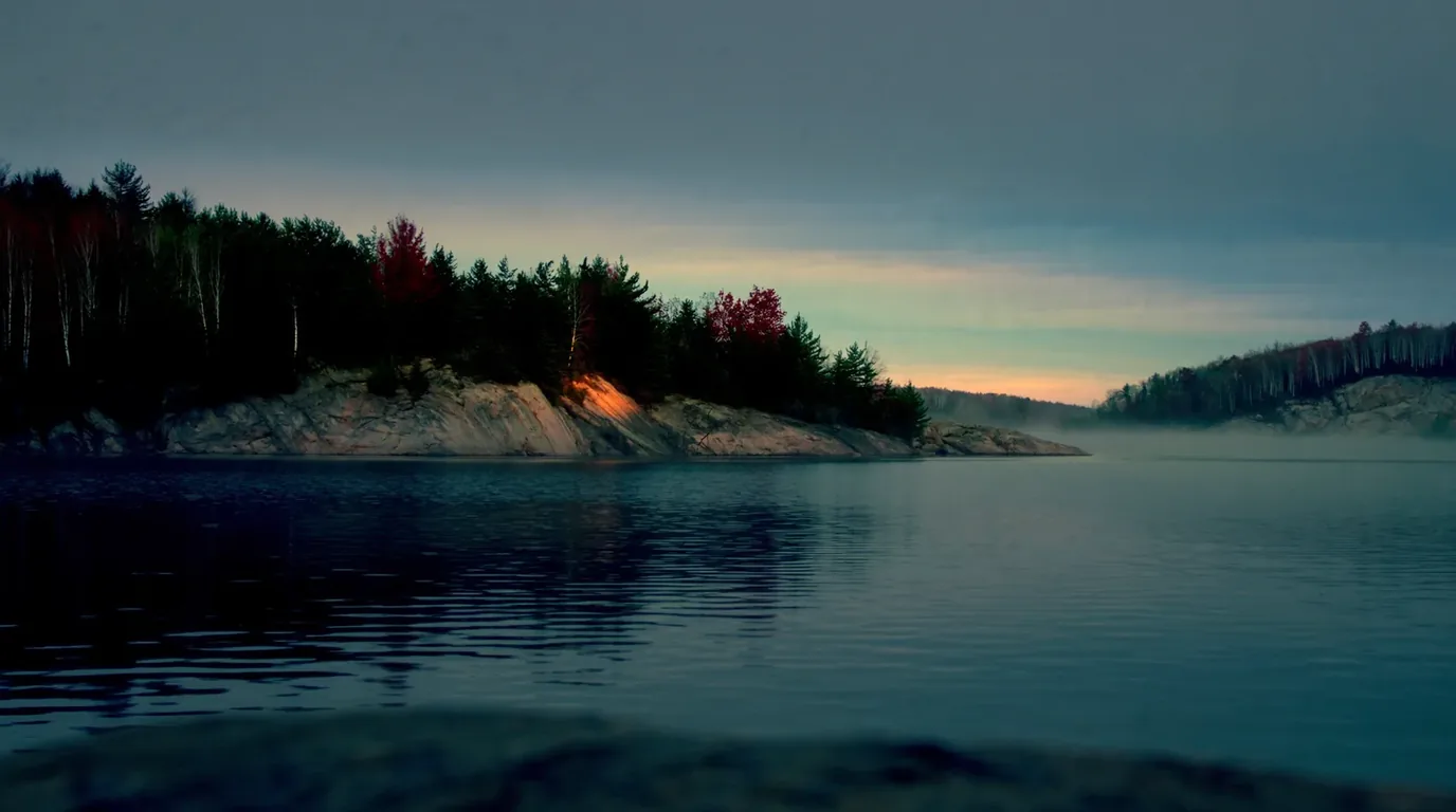
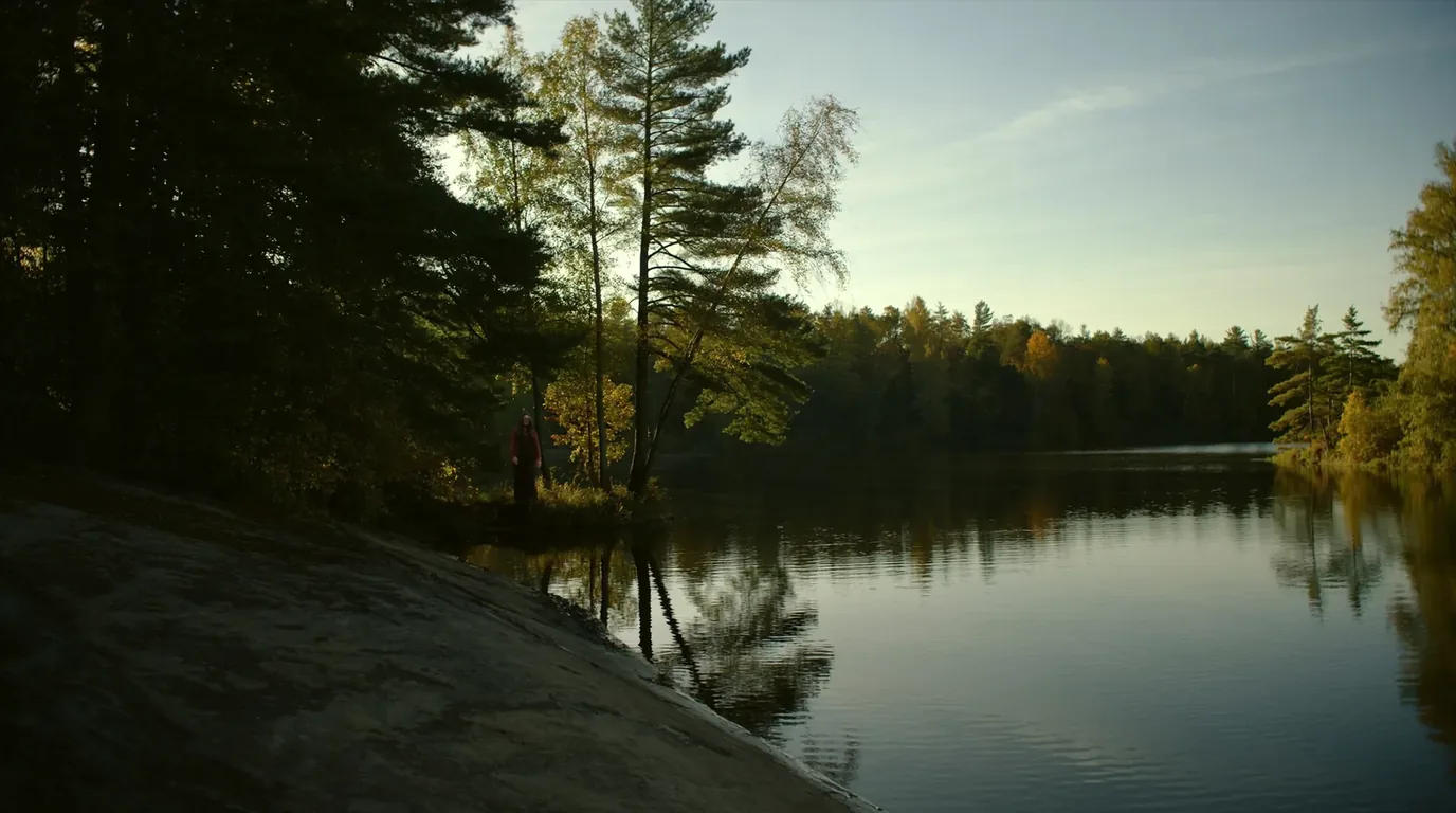
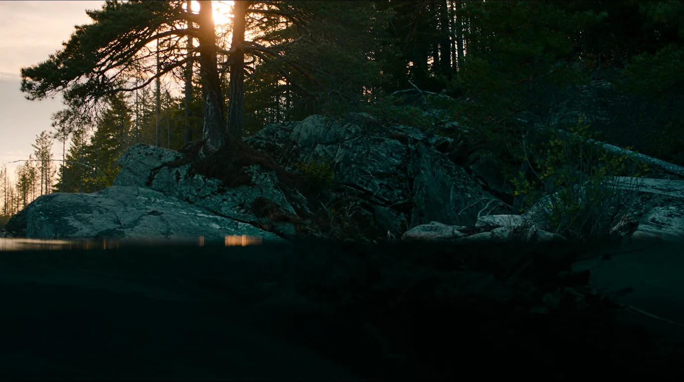
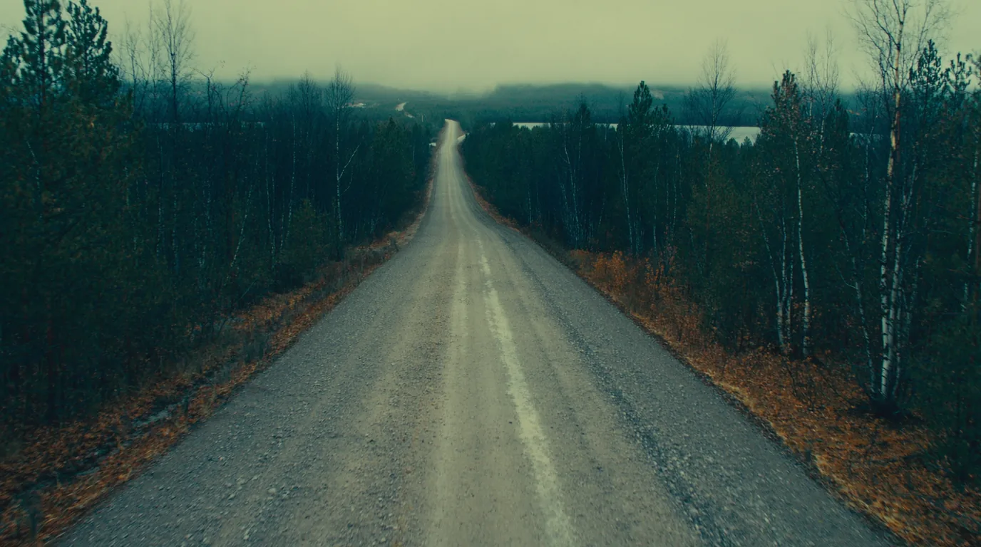
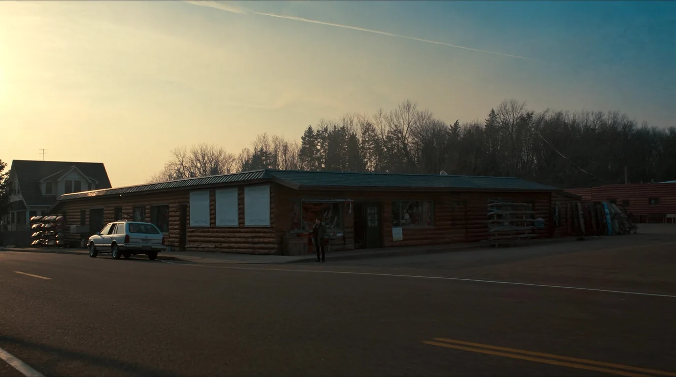
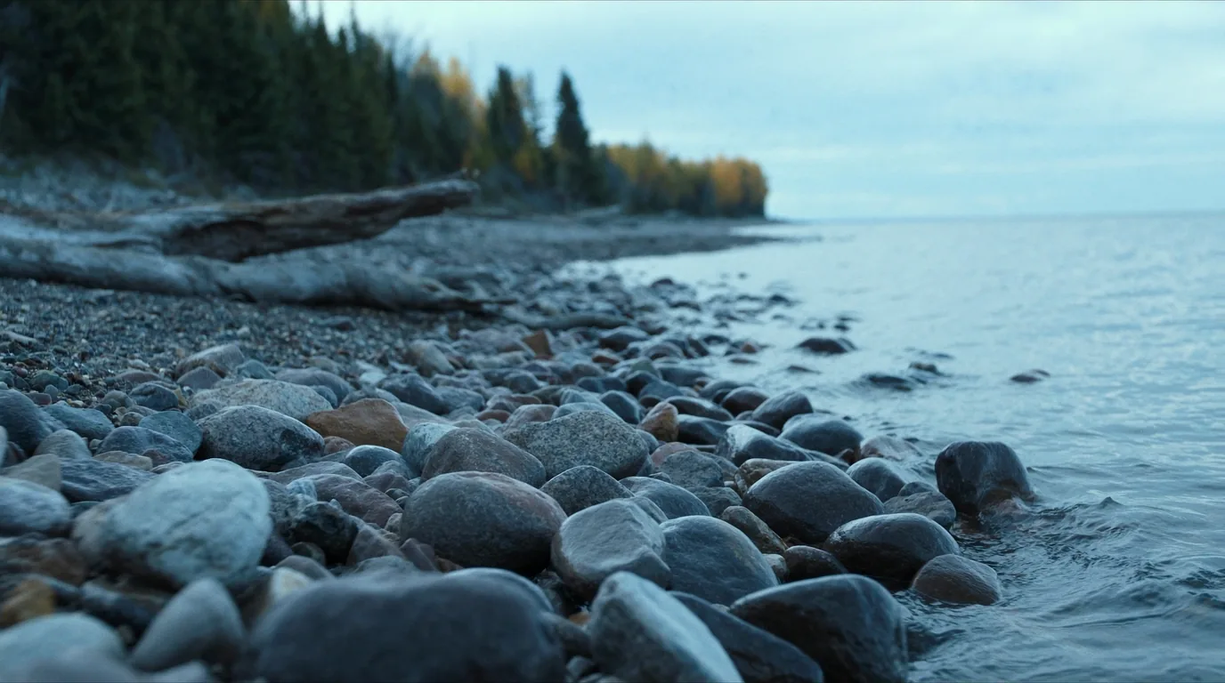
A hundred and fifty miles of Lake Superior shore backed by a million acres of lake-and-portage wilderness where the permit system, not the weather, decides whether your trip happens. The single most important thing to know about the Boundary Waters in 2026: the lottery is gone. Permits went first come, first served at 9:00 a.m. CST on 28 January, and if you are reading a guide that still describes a January draw, it is out of date. This issue lays out the four separate fees, the refund almost nobody mentions, the quota season, and the difference between a booking confirmation and an actual permit.
Checked in late July 2026 against the Superior National Forest, Recreation.gov and permit cooperators. One system changed this year and it changes your January rather than your July. The Forest Service’s own site returns HTTP 403 to automated retrieval; where that blocked a fact, this issue says so.
This issue covers two things that sit next to each other on the map and demand completely different trips. The North Shore is a driving landscape: Highway 61 running from Duluth to the Canadian border past a chain of state parks, waterfalls and river gorges, most of them within a short walk of the car. The Boundary Waters is the opposite — over a million acres of interlinked lakes where you travel by paddle and portage, motors are largely banned, and a permit governs the day you enter.
Most visitors do one or the other. Doing both in one trip works unusually well precisely because they demand different things: the shore is spontaneous and forgiving, the wilderness is planned and unforgiving. Put the shore first in your itinerary and the wilderness second, and the shore becomes the shakedown for the harder half.
This is the section that decides your trip, so read it before you decide anything else. The fees are not consolidated into a single charge, which is why the total catches people out, and one of them comes back to you in circumstances almost no guide bothers to explain.
| Charge | Amount | Notes |
|---|---|---|
| Reservation fee | $6 | Per quota permit. Non-refundable. |
| User fee — adult | $16 | Per adult |
| User fee — youth / senior | $8 | Per person |
| Minimum deposit | $32 | Required to hold an advance quota reservation |
| Cooperator issue fee | up to $2 | If a commercial business issues the permit |
First come, first served, on Recreation.gov. Have your entry point, your date and your party size decided beforehand — the popular combinations do not survive the first few minutes.
It is not a general wilderness pass. You may travel where you like once inside, but you must enter where the permit says, on the date it says.
From a Forest Service station or a cooperator, before entering. Build the collection into your travel day rather than assuming you can do it on the way past at seven in the morning.
The quota season is 1 May – 30 September. Trips outside it work differently and are far easier to arrange — at the cost of cold water, ice risk and short days.
The entry point is the single most consequential choice in a Boundary Waters trip. It sets your quota competition, your first day’s portages, and how far you must travel before the lakes empty of other people. Choosing it well is worth more than any gear decision you will make.
You do not need somebody else’s list of favourites. You need four decisions, made in this order, and the entry point falls out of them:
Three nights and five nights want different entry points. A route that is pleasant over five days is a forced march over three, and the portage count is what makes the difference, not the mileage.
Be honest. If you want to see nobody, you are choosing a hard first day. If you are happy to share a lake, the whole system opens up and your booking gets much easier.
Ely or the Gunflint. This decides your drive, your permit-collection point and your resupply, and the two are a long way apart. Do not plan to enter near one and exit near the other without understanding the shuttle involved.
A loop needs the route to work in one direction with no bail-outs. An out-and-back lets you turn round on day two when the wind arrives, which for a first trip is worth more than the novelty of new water.
Everything about Boundary Waters travel comes down to the portage: the carry between one lake and the next. Distances are quoted in rods — a rod is 16½ feet, roughly the length of a canoe, which is why the unit survives here and essentially nowhere else in modern life.
Boundary Waters travel is unusual in that weight matters nearly as much as it does backpacking — you carry everything over the portages — but volume matters much less, because the canoe swallows it between carries. That combination rewards a very different packing style from either car camping or trail hiking.
Canoes swamp, packs get dropped at landings, and rain here settles in for days. Dry bags inside the pack, not just a cover over it.
There is no signage in the wilderness and no reliable signal. Low, similar-looking shorelines and dozens of bays make GPS-free navigation a genuine skill rather than a romantic one.
Black bears here are habituated at popular sites. This is not optional and it is not about your convenience.
Against being wind-bound. The single most-skipped item and the one that turns a bad day into a safe one.
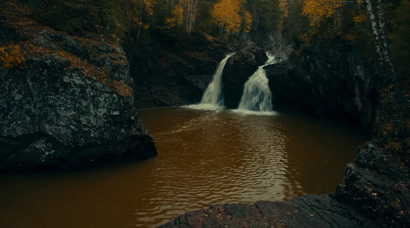
Minnesota 61 from Duluth to the border is one of the great drives in the Midwest: Lake Superior on one side, the Sawtooth Mountains rising on the other, and a river gorge with a waterfall every few miles. The parks are close enough together that you can see several in a day — and in summer they are among the busiest in the state.
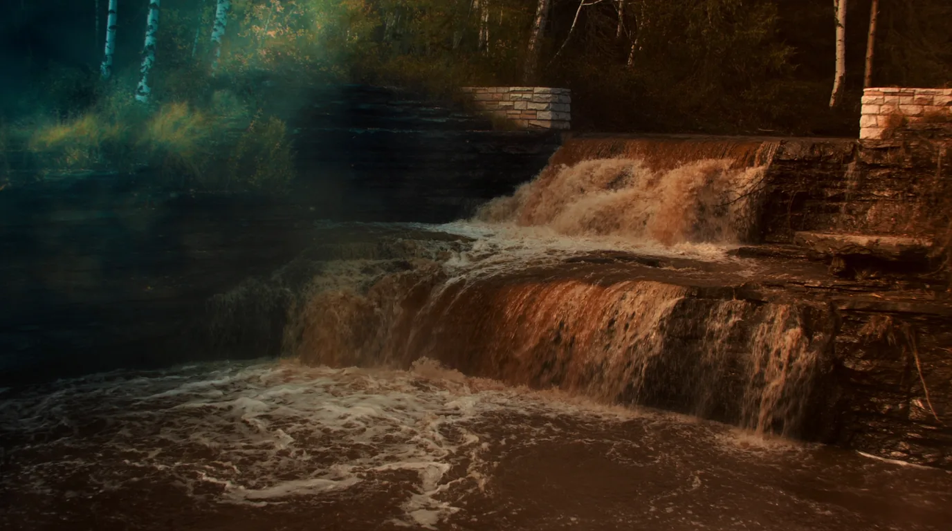
The most visited and the most accessible — a stacked series of falls a short walk from the car park, with the old stonework of a Civilian Conservation Corps river wall alongside from the public-works era that built much of this shore.
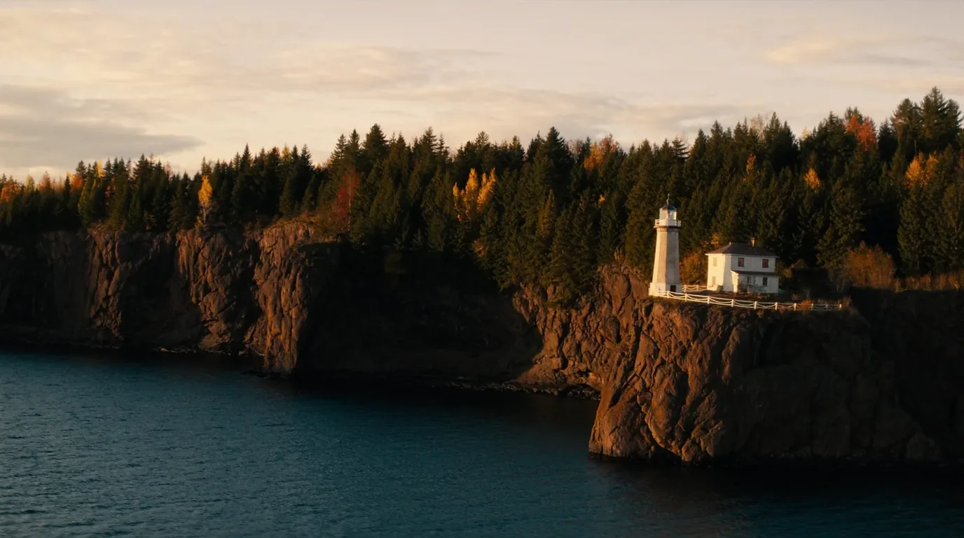
A lighthouse on a sheer cliff above the lake, built after a 1905 storm wrecked a fleet. The most photographed structure on the shore, and worth the crowd it draws.
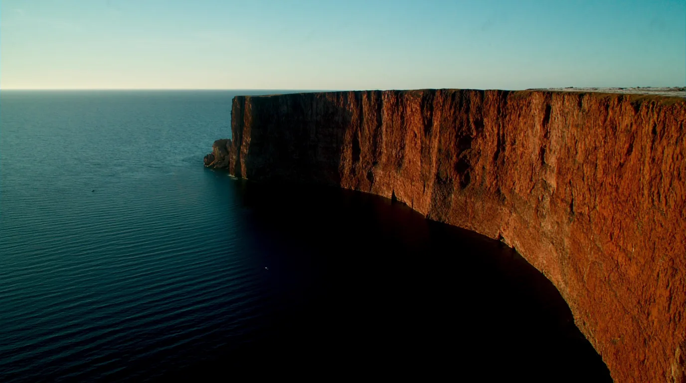
Bigger, wilder and less crowded than the parks south of it, with High Falls on the Baptism River — the tallest waterfall entirely within Minnesota — and Palisade Head, a sheer basalt cliff you can drive most of the way up.
Palisade Head is an unfenced clifftop with a long drop onto rock and water. Treat it as such regardless of how easy the drive up was.
A river that has cut a narrow slot gorge through the basalt, walkable along the rim. Less famous than Gooseberry and, for most people, better.
The shore is the easy half of this issue and it is the half people most often do badly, because it looks like a road with attractions on it and gets treated as a checklist. A hundred and fifty miles with a waterfall every few miles rewards a completely different approach:
Every park here has a car park, a walk and a gorge. Doing all of them turns a fine day into a sequence of car parks. Four done properly beats eleven done from the tarmac.
The Sawtooth ridge behind the highway carries the Superior Hiking Trail and views back down over the lake that the roadside parks cannot give you.
These are short, steep, flashy rivers. A wet week transforms them; a dry August reduces some to a trickle over bare rock.
Not signposted, not busy, and the thing people describe when they get home. Smooth basalt, occasional agates, and a sound underfoot nothing else makes.
Conflating the two gets travellers into trouble, because the correct responses are almost opposite. On the big lake the danger is the water itself and it is immediate. In the wilderness the danger is the weather and the answer is usually to stop moving.
Cold enough to be dangerous year-round. The involuntary gasp on sudden immersion is the immediate risk, not hypothermia, and it kills strong swimmers.
The shore here is rock, with long stretches offering no easy exit.
Big lakes build steep waves fast, and open crossings in a loaded canoe are the classic Boundary Waters mistake.
Wind-bound days are normal. Plan food for one more day than your route needs and the whole problem becomes an inconvenience instead of an emergency.
Water pulls heat out of a body far faster than air at the same temperature, which is why a lake that feels merely bracing for thirty seconds becomes genuinely dangerous well inside the time most people imagine they could swim for. But the sequence that kills starts before hypothermia, and it is worth understanding as a sequence rather than a single risk.
The first minute. An involuntary gasp, a breathing rate you cannot control, and no ability to hold your breath. This is the phase that drowns people, and it does not care how well you swim.
Within minutes, fine motor control goes. Buckles, painter lines, re-entry techniques and spray decks all become much harder or impossible.
The phase everyone names first is the slowest of the three, and usually arrives long after the outcome has been decided.
The specific wilderness version of this is not falling off a cliff — it is taking water over the gunwale in a boat carrying a week of food. Loaded canoes sit low, respond slowly, and do not turn quickly when a quartering wave arrives. The correct decision is nearly always made on the shoreline: hug the lee, break a long crossing into short hops between points, and treat a big open lake in wind as a thing you wait out rather than beat.
This is one of the few places in the lower forty-eight with a continuous wolf population, a healthy moose population and black bear throughout. In practice, the animal that will affect your trip is none of those three.
Highway 61 is well served compared with the wilderness behind it, but the gaps widen as you go north-east, and the Gunflint Trail runs sixty miles inland from Grand Marais into forest with very little on it.
Behind Highway 61 the Sawtooth ridge runs the length of the shore, and the Superior Hiking Trail runs along it — a long-distance footpath with views back down over the lake that no roadside park can give you. For anyone who wants the shore without the car parks, this is the answer, and it is consistently overlooked by visitors focused on the waterfalls.
The route stays inland and high, crossing the river gorges near their heads rather than at the falls. That means quieter walking and a completely different perspective on the same landscape.
Several of the state parks give access onto it, which makes half-day sections easy to arrange without any thru-hiking logistics.
If your wilderness entry is weathered out or your permit date is still ahead of you, this is the best possible use of the spare day.
We have not printed section distances, trailhead parking or backcountry-site arrangements for the SHT. It is managed separately from both the state parks and the Forest Service, and we did not verify its detail to the standard this issue holds.
The Boundary Waters is not an accident of remoteness. It is one of the most deliberately protected landscapes in the United States, and the shore below it was industrialised precisely because the rock here turned out to be worth money. Both facts are visible on the ground if you know what you are looking at.
This chain of lakes and portages was a working highway long before it was a wilderness — an Ojibwe travel network, then the fur-trade route west.
Many portages you walk today are the ones that were walked for the same reason centuries ago: because there is no better way between those two lakes.
Duluth and the shore towns exist because of the ore ranges inland. The harbours, the railways and the lighthouse at Split Rock are all downstream of iron.
Logging, roads, motorboats, aircraft and mining were all fought over here across decades. The rules that now feel bureaucratic — motor restrictions, quotas, entry points — are the settlement of those arguments.
Much of what you walk on in the state parks — walls, steps, shelters — is 1930s public-works construction, and it is a large part of why those parks feel coherent rather than assembled.
Because the quota is not an obstacle placed between you and a wild place. It is the wild place. Without it this would be a lake district with cabins on it.
Blowdown and fire have reshaped large areas within living memory, which is why the forest cover varies so sharply from lake to lake and why some portages are far more open than the map suggests.
The quota season is 1 May to 30 September, and that fact shapes the year more than the weather does. The shoulders are genuinely available and genuinely harder.
| Window | What you get | What it costs you |
|---|---|---|
| May | Quiet water, high rivers on the shore, permits easier to get | Cold water, unsettled weather, black flies starting |
| June – August | Warmest, longest days, everything open | Peak insects in June; the busiest permits and the busiest state parks |
| September | Insects finished, colour beginning, permits gettable, water still workable | Shorter days; nights genuinely cold |
| October onward | No quota system, near-total solitude | Cold, ice risk, short days, and much less margin for error |
One workable shape. It puts the shore first deliberately — it needs no permit, rewards spontaneity, and functions as a shakedown for the harder half that follows.
Duluth north on 61. Gooseberry, Split Rock, Tettegouche. Camp in a state park. No permit needed and no schedule to keep.
Grand Marais. Resupply, then collect the physical permit — remember the Recreation.gov confirmation is not the permit. Drive the Gunflint to your entry point.
Enter on your permitted date. Plan by portage count, not miles. Build in a wind-bound day and carry the food for it.
Exit, and if you have an afternoon, the Temperance gorge on the way south is the best short walk on the shore.
Do the shore. The wilderness is not a two-day trip once you account for permit collection, the drive in and the drive out.
Pick a shorter route than you think you want, an entry point with a hard first portage, and three nights rather than five. You will enjoy all of it.
Run it before you leave. Almost everything on this list traces back to the permit system or to the weather, which are the two things that actually end trips here.
Six questions, answered straight, with the hedge left in where the honest answer has one.
No. It was abolished. Permits are first come, first served from 28 January 2026 at 9:00 a.m. CST on Recreation.gov.
No. You must collect the physical permit from a Forest Service station or a cooperator before entering the wilderness.
$6 reservation fee, $16 per adult and $8 per youth or senior in user fees, a $32 minimum deposit, and up to $2 if a business issues the permit.
That is the minimum deposit. If your user fees total less than it, the difference is refunded when you collect the permit.
We do not rank them. A harder first portage buys you a quieter trip; the district office will tell you current portage and water conditions.
September. Insects finished, permits gettable, water still workable, and the colour beginning.
Every guide has these; most do not print them. Compiled late July 2026.
Everything above, condensed into a print-ready PDF built for the glovebox — for a coast where the towns are a tank apart, the cell signal disappears for hours, and the lake is cold enough to kill. The fuel-gap plan mapped town by town, the two anchor parks and the corridor's provincial parks, the pictographs, beaches and waterfalls, the cold-water and backcountry rules, the campgrounds by area with honest UNVERIFIED flags, the outfitters and fuel towns, and the honest list of what nobody could confirm — on paper that works where the bars don't.
Every Trekkr Trail Journal is built like this one: custom logistics, honest trail beta, the camping and access detail, and the local knowledge that turns a good trip into the one your crew talks about for years — including, always, a plain list of what we could not confirm. New destinations drop all season long, from the Colorado Rockies to the Utah canyons to the wild Great Lakes shield.
Unlock the Trail Journal Library