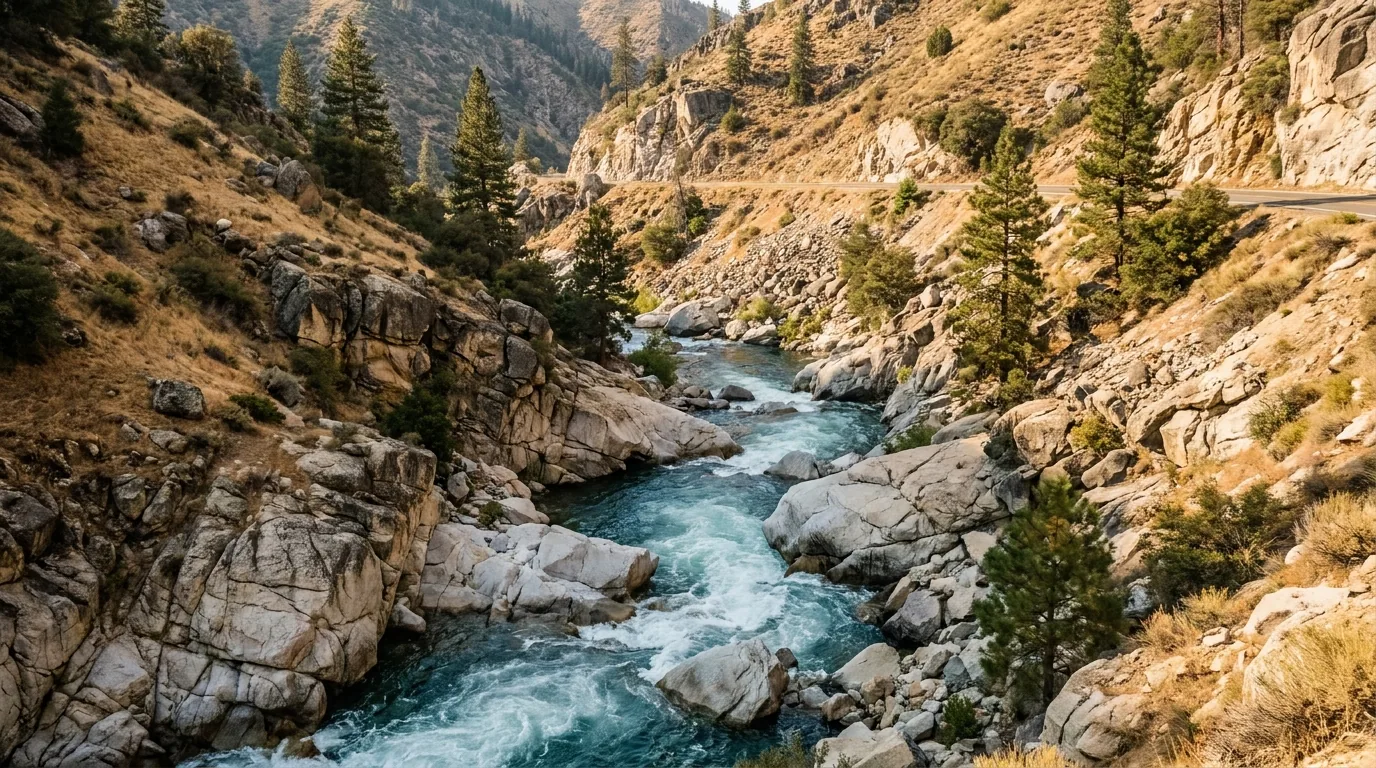
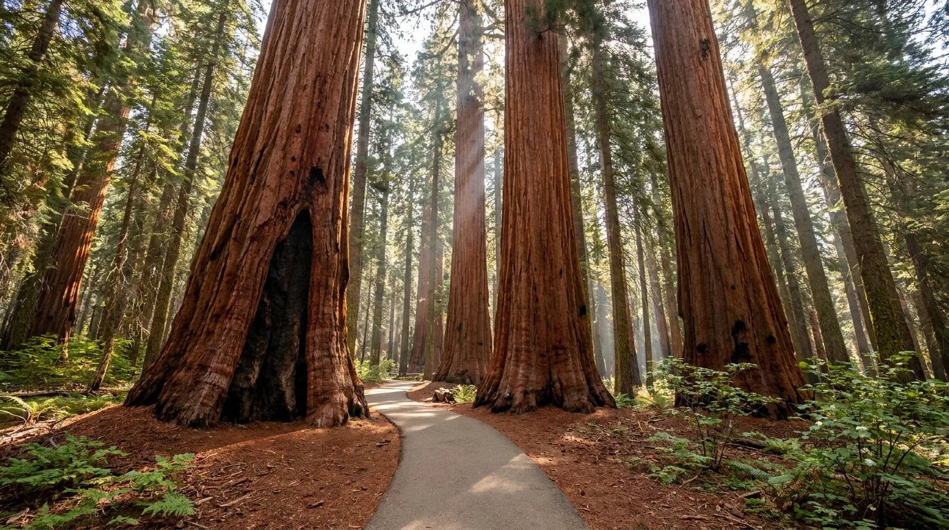
Giant sequoias with no entrance fee, no shuttle and dispersed camping allowed — and a river the Sheriff's Office keeps a death count for on a roadside sign. When it was repainted on 22 May 2026 it read 348 since 1968, and that is an undercount. This is national forest country, south of the famous parks and run by entirely different rules. Fewer crowds, fewer rangers, far less rescue. Get the river discipline and the fuel right, and you get big trees you can camp under for nothing.
The rest of this journal is evergreen; this box is not. Out here a handful of things decide whether your plan works — whether anyone in your party goes near the water (§05), what the current fire order permits (§06), whether Sherman Pass and the Western Divide Highway are open (§03), and what is closed for hazard trees in the burned groves (§04). Everything below is dated to the day we checked it. Trust the live sources, not our stamp.
Everyone knows Sequoia National Park. Almost nobody knows that the largest concentration of giant sequoia groves outside those parks sits immediately to the south, on national forest land, in a monument you can drive into for nothing, camp on for free, and walk through without a timed entry or a shuttle ticket. That is Giant Sequoia National Monument, proclaimed in 2000 and administered by the Forest Service, and the Sequoia National Forest that wraps it. The trade is honest: no rangers at the gate means no rangers anywhere, thin signage, long distances between services, and a rescue that is a long way off. And running down the middle of it is the Kern — a river so lethal that the Sheriff's Office maintains a death toll on a roadside sign.
Big-tree groves without a park queue — Long Meadow, Freeman Creek, Packsaddle, Black Mountain — plus granite at Dome Rock and The Needles, one of the great whitewater rivers of the West, and camping you can do for nothing (§04, §07).
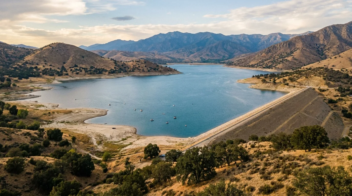
From ~2,600-ft Lake Isabella foothills — hot, dry, oak-and-chaparral country — up the Kern corridor past 3,500-ft riverside camps to ~6,500-ft groves and over 9,200-ft Sherman Pass onto the dry, open plateau. Heat below, snow above, both in the same week (§06).
A river that kills about seven people a year (§05), a fire order with a $5,000 penalty (§06), two seasonal high roads (§03), 75 miles between fuel (§08), and burn scars that have closed trails for years (§06).
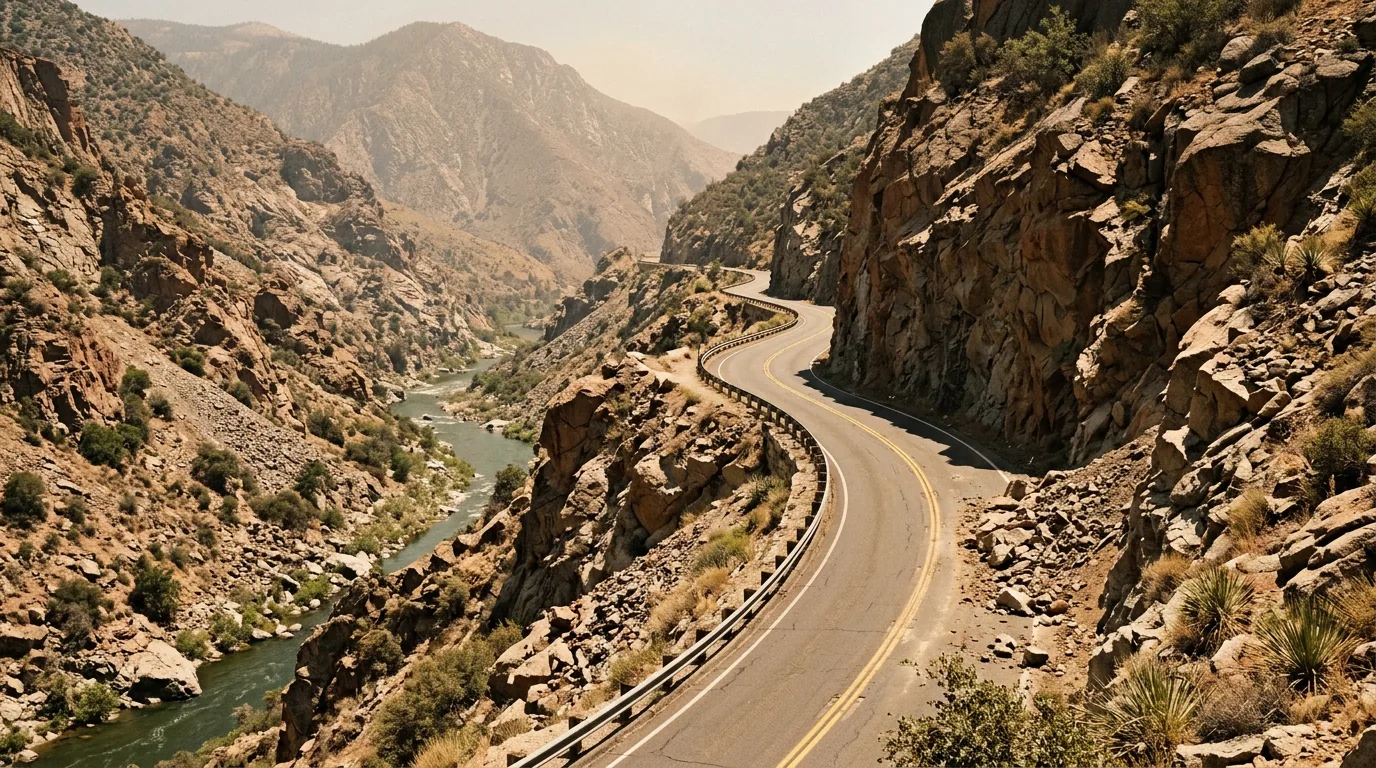
There are several ways into the Kern River Valley, but the one most people take is Highway 178 east out of Bakersfield, climbing beside the river through a tight, rocky canyon to Lake Isabella — roughly 40 miles and under an hour, about 13 of those miles in the canyon proper, where the road narrows to something like 18 to 24 feet with sharp turns and drops to the water. It is a genuinely good drive and a genuinely consequential one: it is where the river first gets close enough to touch, where the warning signs stand, and where a great many of the fatalities in §05 have happened.
| Approach | From | What it is | What to know |
|---|---|---|---|
| Hwy 178 — Kern Canyon the main way in |
Bakersfield and the Central Valley | ~40 mi, under an hour; ~13 mi of canyon beside the Lower Kern | Narrow, rockfall-prone, blind curves. Closes for slides and fire. Check Caltrans. Last big-city fuel is Bakersfield |
| Hwy 155 — Greenhorn Summit the mountain back door |
Delano / Glennville, from the north-west | Over 6,102-ft Greenhorn Summit past Alta Sierra to Wofford Heights | Steep and twisting; chain controls common in winter storms, and it has closed for long repair periods after heavy snow |
| Hwy 178 east / Walker Pass from the desert side |
Ridgecrest / Hwy 395 | Across Walker Pass and down the South Fork valley through Onyx and Weldon | Open, high-desert driving and the most reliable year-round approach from the 395 |
| Nine Mile Canyon → Sherman Pass the seasonal high route |
Hwy 395 near Pearsonville | Up to Kennedy Meadows, then west over the 9,200-ft pass to the Kern — ~67 mi | Summer and autumn only, narrow, no fuel for 75 miles. A trip in itself, not a shortcut (§03) |
Road status was checked on the Caltrans feed on 25 July 2026 and will not stay true. Confirm Highway 178 and Highway 155 with Caltrans, and Sherman Pass with the Kern River Ranger District, before you commit — these roads close, and on 178 there is no quick alternative.
The map lies about time here. Bakersfield to Lake Isabella is about 40 miles of canyon climb; Lake Isabella to Kernville is a short run up the lake; Kernville to the Johnsondale Bridge is about 19 miles of slow, beautiful river road, with the Sherman Pass junction about a mile further on and Johnsondale itself around 26 miles from town.
Anything beyond that — the Western Divide Highway, or the ~67-mile Sherman Pass crossing to Hwy 395 — is a half-day commitment each way. Use live mapping the week you go and add margin for slow mountain road.
Unlike the national parks to the north, there is no signature length limit here — the paved routes take normal RVs, and the Lake Isabella campgrounds are built for them. But the character changes fast: the Kern Canyon on 178 is 18 to 24 feet wide in places, Sherman Pass Road is narrow and switchbacked, and many forest spurs to groves, lookouts and dispersed sites are dirt, rough, and no place for a big rig or a low car.
Carry a real spare and know how to change it. Recovery out here is slow and expensive, and much of it has no signal.
Above the valley the region splits into two paved high routes, and both run on the snow's calendar rather than yours. Sherman Pass Road climbs east over the Kern Plateau at 9,200 feet and drops to the desert. The Western Divide Highway runs north through the sequoia groves toward Springville. Between roughly November and late May, expect both to be gated — which turns this from a loop region into a dead-end region and doubles a lot of driving. And on both of them, fuel is the fact that matters most.
We could not confirm current 2026 gate status or exact gate points for either high road. Confirm with the ranger districts before routing through them.

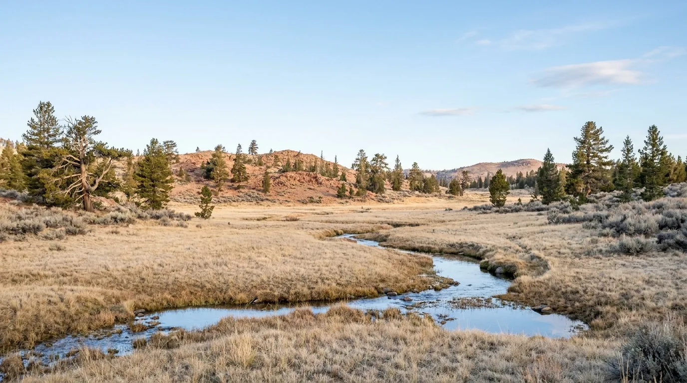
Over the pass the country changes completely: dry, open, pinyon-and-sagebrush plateau instead of river canyon. Kennedy Meadows is a tiny community at roughly 6,100–6,400 feet in the Kern River Ranger District, and it is a famous waypoint on the Pacific Crest Trail — the last stop before the High Sierra.
The Kennedy Meadows General Store is the supply point, reported to run on generator, solar and propane, and to close in the late afternoon. It is a store, not a town. It is not a fuel plan.
Giant Sequoia National Monument was proclaimed on 15 April 2000 and protects 38 of the 39 giant sequoia groves in Sequoia National Forest across two separated sections — roughly half of all the sequoia groves in existence. The southern section, the half this issue covers, holds the accessible showpiece at Long Meadow Grove plus quieter groves and a handful of granite viewpoints that lay the whole Kern canyon out below you. Distances here are deliberately sparse: the Forest Service publishes no single official table for these trails, several were affected by the 2020–2024 fires, and we would rather print nothing than a mileage we could not source.
All reached off the Western Divide Highway and its spurs beyond Johnsondale (§03) — which makes them a seasonal, snow-dependent destination, on ground that has been through fire.
~1.3 mi paved loop · minimal elevation change. A wide, mostly level paved path through mature giant sequoias directly off the Western Divide Highway, with a paved parking area, restrooms and picnic area, and several loop options. This is the easiest genuine big-tree walk in the region and it needs no park pass and no shuttle — day-use parking is $12 per vehicle, cash only.
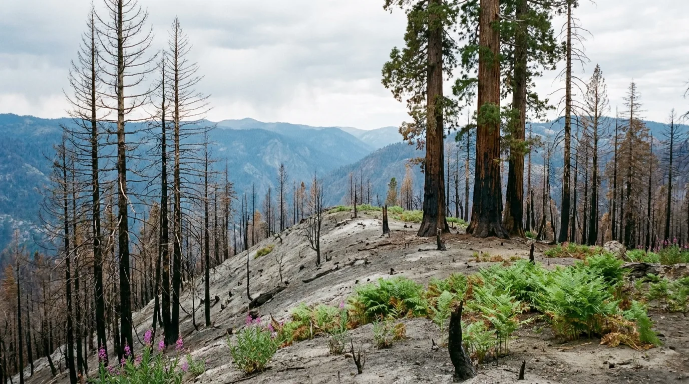
The boardwalk section is closed for 2026 under Forest Order 0513-26-03, effective 7 April through 31 December 2026 — from about a third of a mile north of the parking area to about a third of a mile north of the Redwood Meadow Campground entrance, plus a 200-foot buffer. The main paved loop remains open. The grove burned in the 2021 Windy Fire; the trees mostly survived, the boardwalk did not.
A large sequoia grove reached by trail from the Lloyd Meadow Road side of the monument, containing the tree dedicated to George H. W. Bush. Far less visited than Long Meadow, and correspondingly wilder underfoot — a real forest walk rather than a paved loop. Distance and current trail condition should be confirmed with the ranger district; this grove sits in country affected by recent fire.
Access is by forest road, not highway. Check surface and closures before committing a low vehicle, and carry water — there are no services out there.
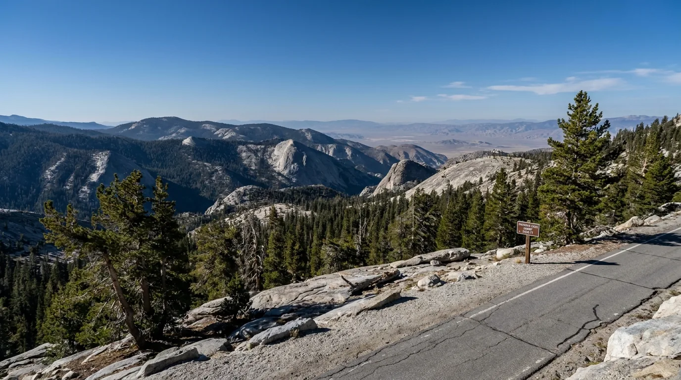
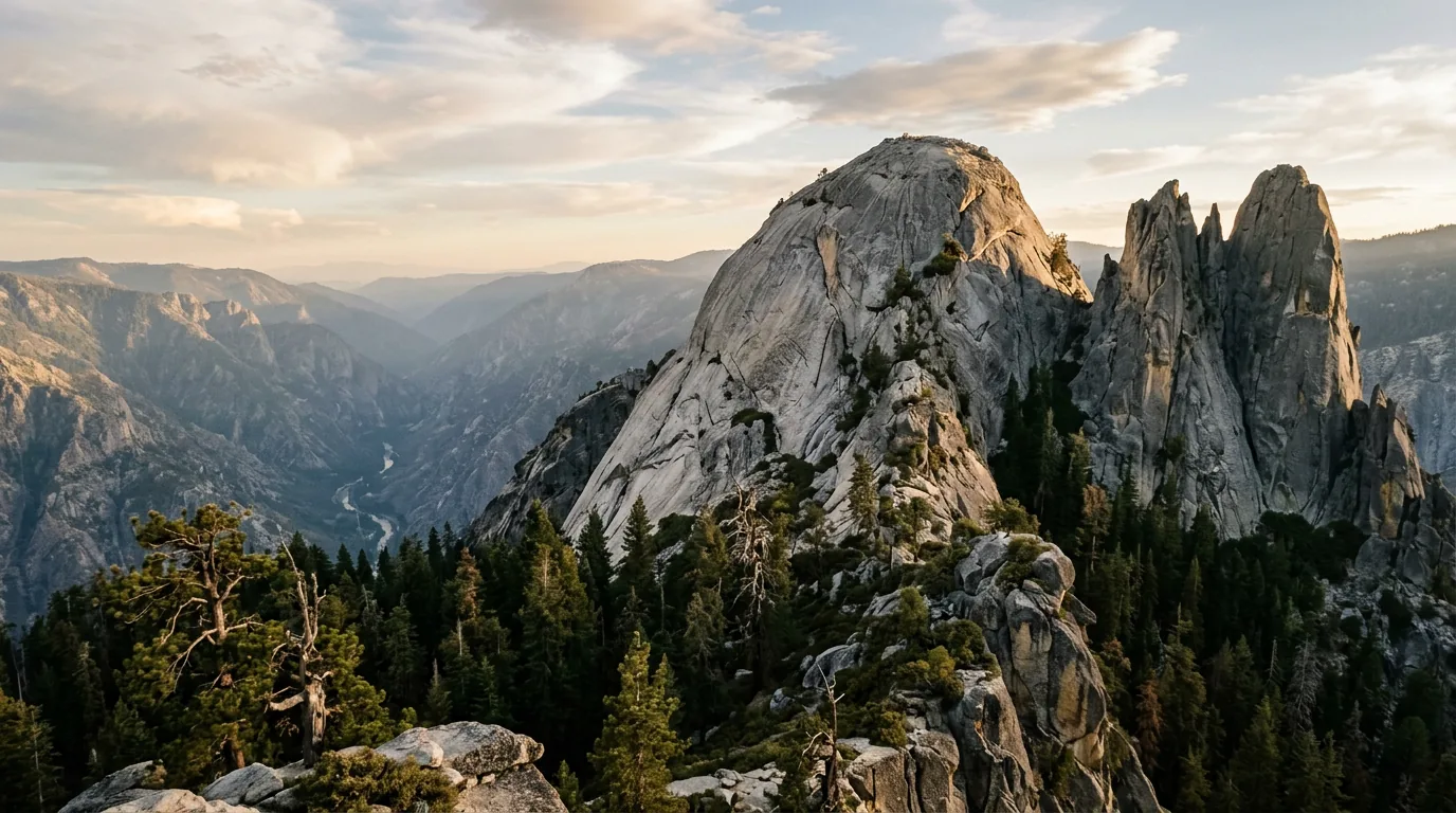
A short walk from the road end. A spur off the Western Divide Highway leads to a pullout, and a brief stroll puts you on the bare crown of a granite dome looking across the Kern drainage and the Golden Trout Wilderness. If you only do one viewpoint here, do this one.
The dome is unfenced and the drop-offs are lethal. There are no railings, no barriers and no rangers. Keep children and dogs close, stay well back from the rounded edge, and do not go up in wind, ice or lightning.
The trail out toward the Needles spires is one of the classic walks of the southern Sierra. The lookout itself is gone — the tower was destroyed by a structure fire on 28 July 2011 and was not rebuilt. The trail was reported open, but also not recently maintained, with washouts, downed trees and stretches where the tread fades out, following recent fires and flooding.
Do not plan this as a casual family walk. Route-finding may be required and the terrain is exposed granite. Confirm current trail status with the Western Divide Ranger District before you go.
| Walk | Area | Character | Status note |
|---|---|---|---|
| Trail of 100 Giants | Long Meadow Grove, Western Divide Hwy | ~1.3 mi paved loop, largely barrier-free | $12/vehicle cash; boardwalk closed to 31 Dec 2026 (Order 0513-26-03); main loop open |
| Dome Rock | Western Divide Hwy spur | Very short walk to a granite dome summit | Unfenced drop-offs; spur road is dirt |
| Needles Lookout Trail | Western Divide Hwy spur | Classic ridge walk toward the spires | Lookout burned 2011; trail unmaintained, washouts |
| Freeman Creek Grove | Lloyd Meadow Road side | Quiet sequoia grove; George H. W. Bush tree | Distance unconfirmed; check access roads |
| Packsaddle · Black Mountain groves | Southern monument | Sequoia groves burned in the 2021 Windy Fire | Post-fire access unconfirmed — check current orders |
| Unal Trail | Greenhorn Summit, Hwy 155 | Loop trail from the Greenhorn area | Distance unconfirmed — confirm at the trailhead |
| Whiskey Flat Trail | Upper Kern, from near Kernville | River-corridor trail on the Kern | Distance unconfirmed; river-edge — see §05 |
| Cannell Meadow Trail | Above Kernville | Long climb to the plateau; the "Cannell Plunge" mountain-bike descent runs this country | Big elevation; bike shuttles operate from Kernville |
| Packsaddle Cave Trail | Upper Kern corridor | Trail to a cave above the river | Post-fire status unconfirmed — check before you go |
*Distances here are deliberately sparse. The Forest Service does not publish one official table covering these trails, several were affected by the 2020–2024 fire years, and we print no mileage we could not source. Confirm distances, condition and closures with the Kern River or Western Divide ranger district before you commit to any of them.
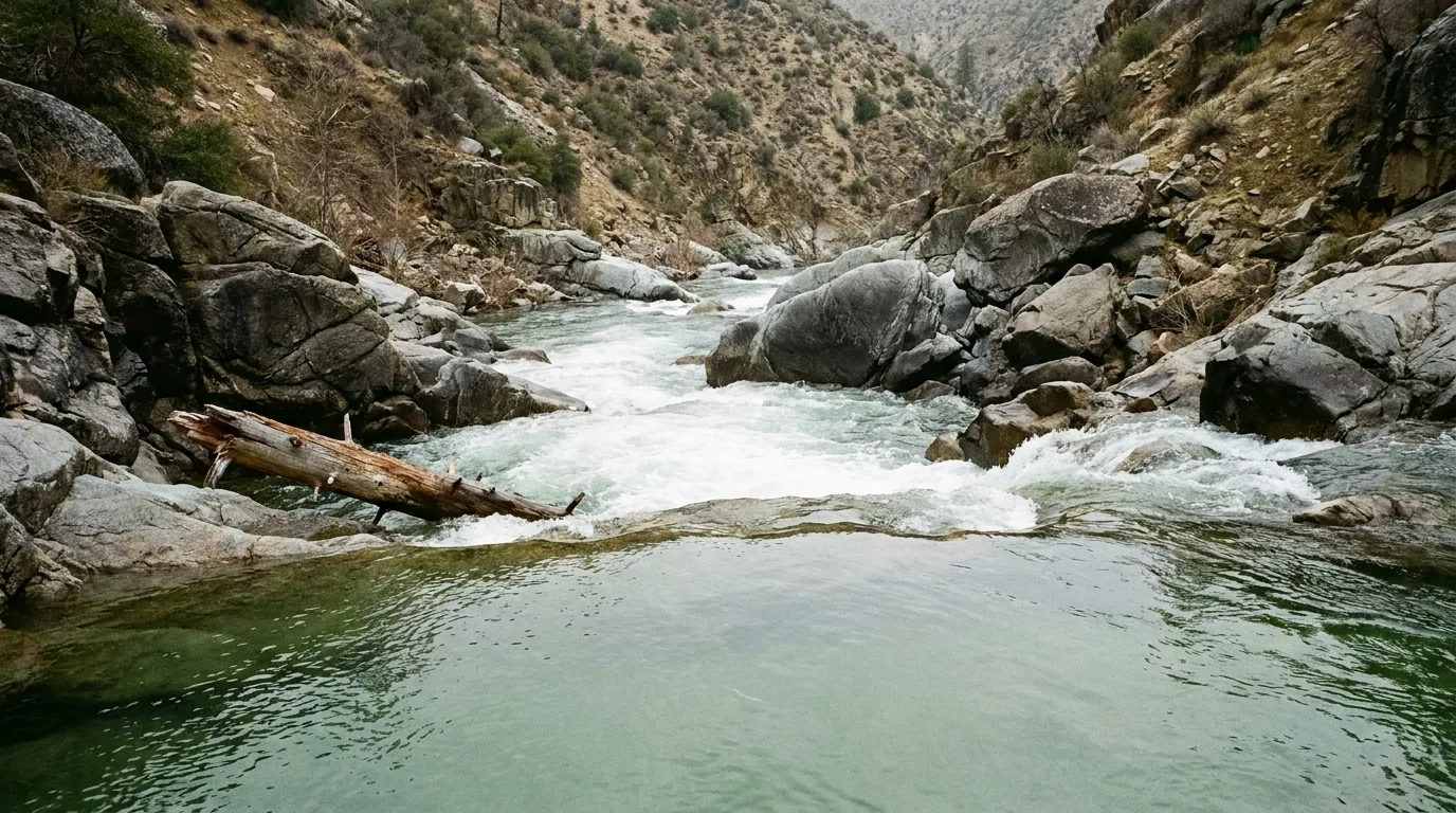
Most guides bury this. We are putting it fifth, before the camping, because it is the single most important thing on this page. The Kern River has one of the worst drowning records of any river in the United States; the Kern County Sheriff's Office maintains a count of the dead on signs along Highway 178; and the overwhelming majority of those deaths were ordinary visitors who got into water that looked fine. Here is the honest version — what the number is, who keeps it, what it leaves out, and the one legal fact that should change how you plan.
| Reach | Where | Class | Named rapids & notes |
|---|---|---|---|
| Forks of the Kern | Wilderness reach above Johnsondale Bridge; requires a two-mile pack-in | V | Lower Freeman, Vortex, Gortex. Expert-only, short season. Both forks are Wild & Scenic their full length above Isabella |
| Limestone Run | Johnsondale Bridge → Fairview Dam, ~2.4 mi | III–IV | Brush Creek, Limestone, Joe's Diner, Betty's Bakery. Limestone walls and caves. Optimal reported around 450–500 cfs |
| Calkins Flat / Fairview | Below Fairview Dam, ~2.8 mi | III | The warm-up run — markedly easier than the reaches above and below. Diversion to the powerhouse cuts flow seasonally |
| Chamise Gorge | Calkins Flat → Goldledge CG, ~4.5 mi | IV/V | Entrance Rapid, Satan's Slot, Salmon Falls (V) |
| Thunder Run | Upper Kern, steep and technical | V | Sock-'em-Dog. Reported at 63 ft per mile |
| Lower Kern | Below Isabella Dam toward Bakersfield | III–IV | No Class V, but a mandatory portage at Royal Flush. Dam-released, so warmer and later-running than the Upper |
Classes shift with flow — the same reach can be a III+ at 800 cfs and an unrunnable IV+ at 5,000. Reach descriptions and rapid names are compiled from whitewater sources, not a single official table. Match the reach to your genuine experience, and let the outfitter make the call on the day.
The river is §05 and it is the number-one hazard here. Everything else lives in this section, and it is dominated by fire — both the risk of starting one, which now carries a five-figure penalty, and the long consequences of the ones that already burned. The Kern River Valley and Giant Sequoia National Monument have been through a brutal decade, and what is open, what is standing and what might fall on your tent is still being decided by it.
| Fire | Year | Acres* | What it did here |
|---|---|---|---|
| Erskine Fire | 2016 | ~47,900 | Near Lake Isabella. Two deaths and 309 structures destroyed; started by a worn private electrical line |
| Pier Fire | 2017 | ~36,600 | Tule River canyon north of Springville, spreading into Giant Sequoia NM. Human-caused |
| SQF Complex / Castle Fire | 2020 | ~174,200 | Lightning-started in the Golden Trout Wilderness; burned 22 sequoia groves and killed 10–14% of all large sequoias rangewide (§04) |
| Windy Fire | 2021 | ~97,500 | Lightning. Burned 11 sequoia groves including Long Meadow (Trail of 100 Giants), Packsaddle, Black Mountain and Deer Creek; 128 structures |
| Borel Fire | 2024 | ~59,300 | The largest fire in Kern County history. Destroyed most of the historic town of Havilah; 223 structures. Started by a fatal car crash. Its burn scar is a live flood hazard along Hwy 178 |
| River Fire | 2026 | 3,535 | Mouth of the Kern Canyon, 18–23 May 2026. Closed Hwy 178 hard at both ends for two days (§02) |
*Acreages are rounded from published incident figures and vary slightly by source. The Coffee Pot Fire of 2024, which you may see referenced alongside these, burned mostly inside Sequoia National Park rather than this region.
This region spans a huge vertical range. Lake Isabella and the canyon are foothill country and get genuinely dangerous mid-summer heat — plan strenuous activity for early morning and carry far more water than feels necessary. The groves sit around 6,000–7,000 ft and Sherman Pass at 9,200 ft, high enough that visitors from sea level feel it.
You can drive from severe heat to near-freezing in a couple of hours. Carry layers even in August, and expect afternoon thunderstorms over the high country in summer — get off Dome Rock and any exposed granite before they build.
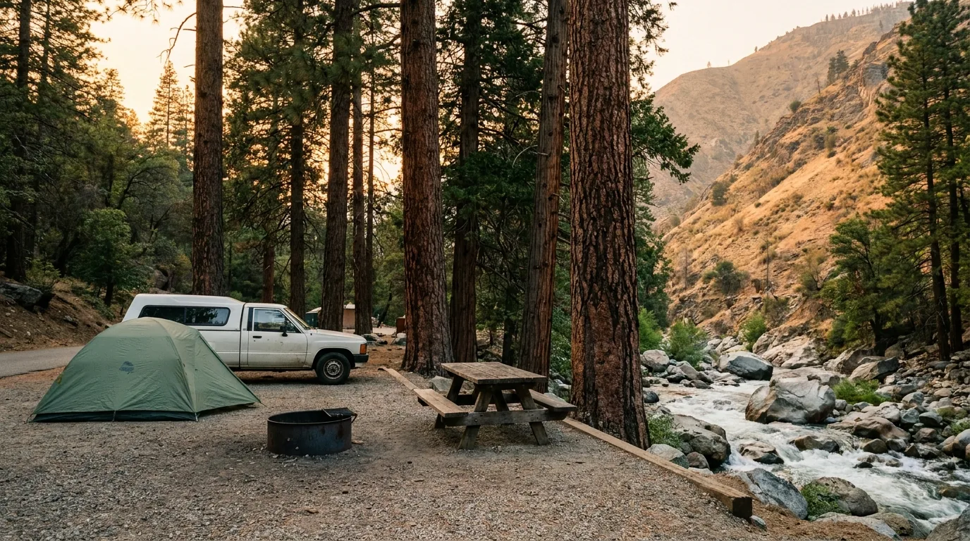
This is where national forest beats national park, but less freely than the phrase "dispersed camping" suggests. There are three developed clusters — the big reservoir campgrounds around Lake Isabella, the chain of small riverside campgrounds up the Upper Kern, and the scattered high camps near the groves — plus dispersed camping, which is genuinely free and genuinely restricted. Site counts and seasons below come from Forest Service, Army Corps and Recreation.gov listings and vary by source; several campgrounds here have been closed for extended periods after fire and flood, so read the actual listing before you drive.
| Campground | Corridor · manager | Sites* | Notes* | Booking |
|---|---|---|---|---|
| Hospital Flat | Upper Kern · Sequoia NF | ~40 | Right on the Upper Kern, reported ~6.5 mi north of Kernville | Recreation.gov |
| Goldledge | Upper Kern · Sequoia NF | ~37 | Reported ~10 mi north of Kernville, in the river corridor | Recreation.gov |
| Fairview | Upper Kern · Sequoia NF | ~54 | Paved sites on three loops at ~3,500 ft, drinking water; reported ~13 mi north of Kernville; some sites with river access | Recreation.gov |
| Camp 3 · Headquarters · Limestone | Upper Kern · Sequoia NF | Not confirmed | The rest of the Mountain 99 chain; Limestone is the highest, near the run of the same name | Check listing |
| Tillie Creek | Lake Isabella · USACE | ~150 | The big lakeside campground; season reported roughly April–November | Recreation.gov |
| Boulder Gulch | Lake Isabella · USACE | ~78 | Across the road from the lake; season reported roughly April–September | Recreation.gov |
| Pioneer Point | Lake Isabella · USACE | ~78 | Lakeside on the western shore; 2026 opening dates were listed as to-be-determined | Recreation.gov |
| Live Oak · Hungry Gulch · Paradise Cove · French Gulch · Auxiliary Dam | Lake Isabella · USACE | Vary — check | The rest of the reservoir ring; these are the RV-friendly options in the region | Check listing |
| Redwood Meadow | Groves · Sequoia NF / Giant Sequoia NM | Not confirmed | Beside the Trail of 100 Giants on the Western Divide Highway — the grove basecamp | Check listing |
| Quaking Aspen · Peppermint · Holey Meadow | Western Divide · Sequoia NF | Not confirmed | High camps along the grove road; seasonal and snow-dependent, some affected by recent fire | Check listing |
| Kennedy Meadows & the plateau camps | Kern Plateau · Sequoia NF | Not confirmed | Remote, high, dry; PCT traffic in season; no fuel out there | Check listing |
| Dispersed camping | Forest-wide · Sequoia NF | Free | 14 consecutive days per 30, forest-wide — moving doesn't reset it. Campfire permit required. Along the North Fork Kern Wild & Scenic River, camping is prohibited outside developed campgrounds and designated dispersed sites | No booking |
*Site counts, seasons and fees are compiled from Forest Service, U.S. Army Corps of Engineers and Recreation.gov listings and vary by source and by season. Lake Isabella family sites were reported around $34 per night with an $8 second-vehicle fee; Upper Kern fees we could not confirm site by site, and Pioneer Point's 2026 opening was listed as to-be-determined. Several campgrounds in this region have been closed for extended periods after fire and flood — confirm before you drive. USACE = U.S. Army Corps of Engineers; NF = National Forest; NM = National Monument.
Get the free California Campfire Permit before you leave home — it is required for a camp stove, not just a campfire, and it takes minutes online. Respect the 14-in-30 limit, which applies across the whole forest rather than per site. Use existing sites and existing fire rings rather than making new ones, and read the North Fork Kern prohibition before you assume the river corridor is open ground.
Never camp under standing dead trees in this burned landscape (§06), keep well back from the river (§05), pack out everything including toilet paper, and check the current fire order — the penalties are five figures.
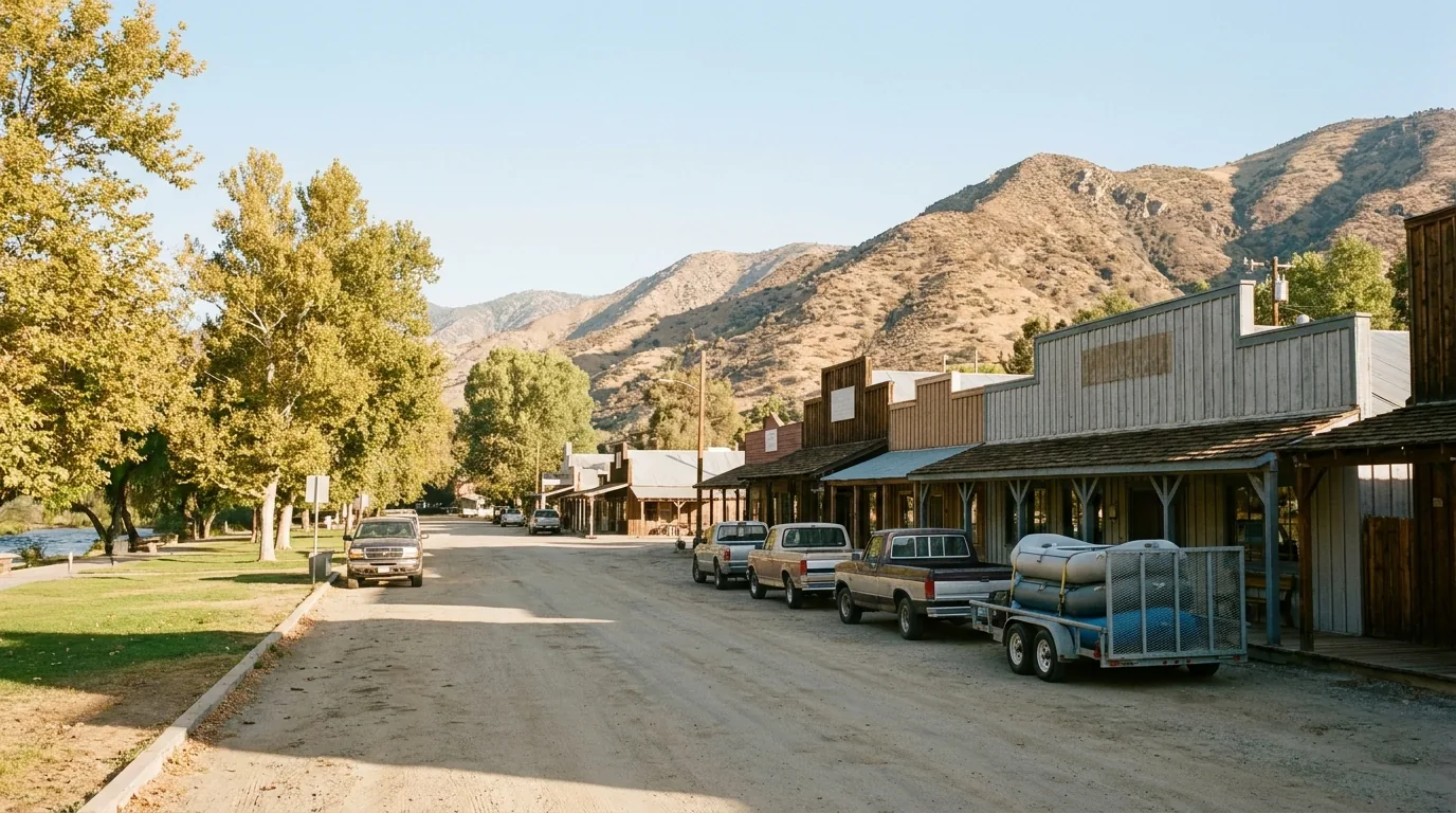
The Kern River Valley has two towns that matter for a trip: Lake Isabella, the larger service centre with the hospital and the full shop, and Kernville, the smaller and far more charming river town at the top of the lake that functions as the whitewater capital of southern California. Between them you can fuel, stock up, eat, sleep and get medical help. Beyond them — up the corridor, over the pass, along the grove road — you should assume there is nothing, because the summit sign says so and the one place that used to sell fuel out there burned down.
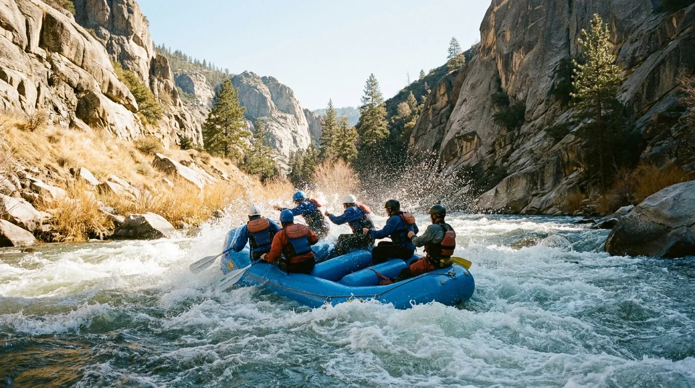
Rafting depends entirely on flow and is season-limited — and the Kern is a serious river (§05). Book with the operator and heed their conditions.
We confirmed no operator pricing — any number you see elsewhere should come from the business. Hours and seasons change; check the current website before you drive over.
This region has an unusually awkward calendar, because the best time for the high country and the best time for the valley floor are not the same. Summer opens the passes and the groves but bakes the canyon and brings the fire order. Spring gives you the biggest whitewater and the most dangerous river of the year. Autumn is arguably the sweet spot. Winter shuts the top half of the map entirely. Pick your window by what you actually came for.
One workable shape, not the only one. It bases low, uses the river properly rather than dangerously, saves the long seasonal roads for their own days, and never leaves town on a half tank. Adjust freely — but confirm the high roads are open before you count on Sherman Pass or the Western Divide, and read §05 aloud before anyone in your party goes near the water.
Run it before you leave. Tap each item as it's done — these are the ten things specific to the Kern River and Giant Sequoia National Monument that a general road-trip habit will skip. Most come back to a few facts: the river is the real hazard, the fire order rules your camp, the high roads run on snow, and there are 75 miles between fuel stops.
Every guide has these; most don't print them. This region is harder than most: it is national forest rather than national park, so there is no single authoritative planning site; it has burned five times in a decade, so facility status changes constantly; and the Forest Service's own web pages returned HTTP 403 to automated retrieval throughout this build, which means several facts below came from search indexes of those pages rather than direct reads. Everything here was compiled 25 July 2026 and should be re-checked against the linked official source before you rely on it.
Everything above, condensed into a print-ready PDF built for the glovebox — for a region where the Forest Service runs the sequoias, the signal dies past the valley, there are 75 miles between fuel stops, and the prettiest water in California kills about seven people a year. The Kern Canyon approach and its closure record, the drowning count told honestly with its keeper and its gaps named, the life-jacket law that doesn't exist, Sherman Pass and the Western Divide timing, the Trail of 100 Giants under Order 0513-26-03, the whitewater by reach, dispersed camping done legally, the campgrounds by corridor, the burn-scar rules, and the honest list of what nobody could confirm — on paper that works where the bars don't.
Every Trekkr Trail Journal is built like this one: custom logistics, honest trail beta, the camping and access detail, and the local knowledge that turns a good trip into the one your crew talks about for years — including, always, a plain list of what we could not confirm. New destinations drop all season long, from the BC corridors to the Oregon Cascades to the California Sierra.
Unlock the Trail Journal Library