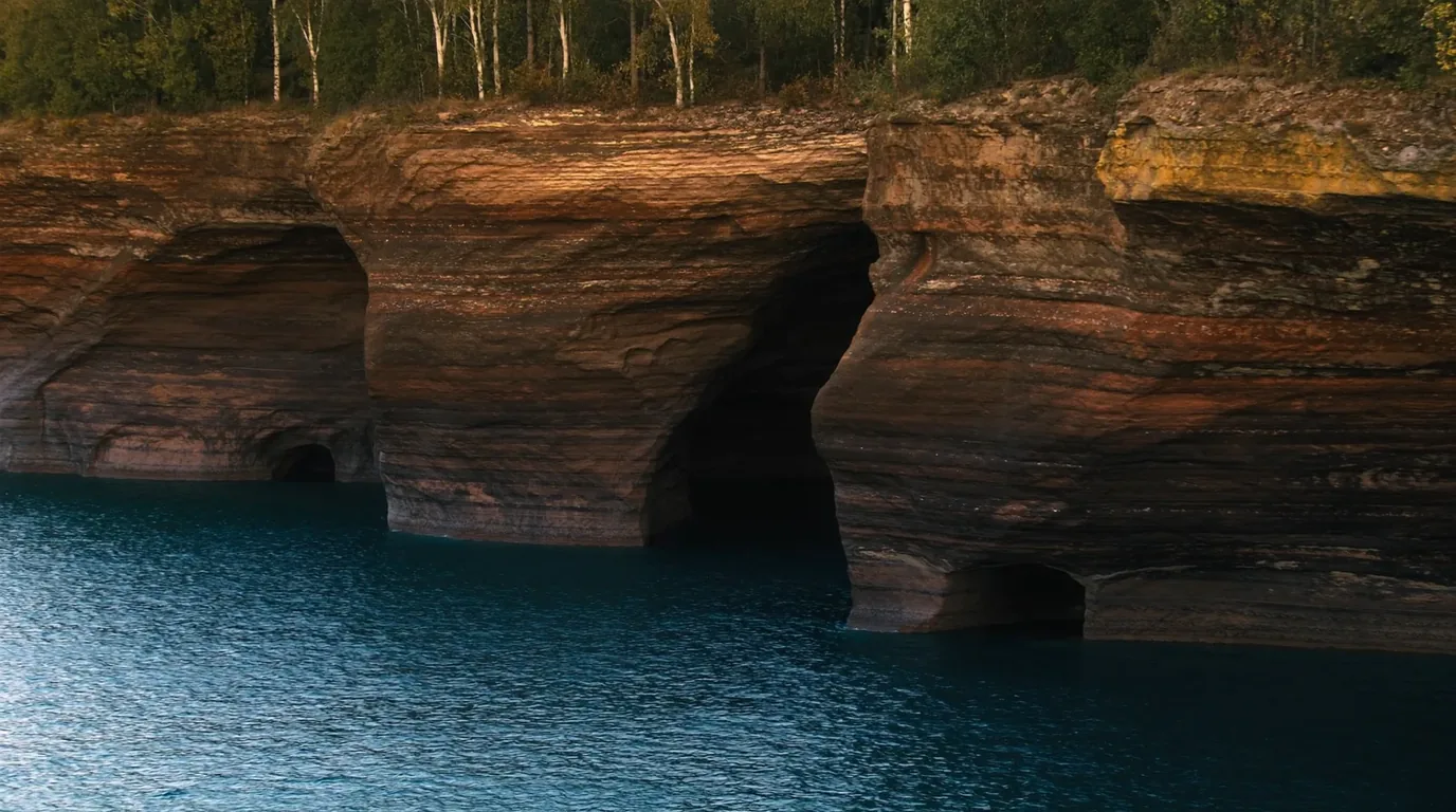
Sandstone sea caves at the waterline of Lake Superior with arched chambers cut into red rock cliffs, clear cold water below and dark boreal forest on the clifftop, Apostle Islands National Lakeshore Wisconsin, ultrarealistic photograph representative of the region
Trekkr Trail Journal · No. 074 · The Apostle Islands

The Apostle IslandsWisconsin — twenty-one islands, a thirty-day booking window, the boat you must arrange first & the Northwoods behind it

Twenty-one islands scattered off the tip of a Wisconsin peninsula, sandstone sea caves at the waterline, and camping on eighteen of them — none of it reachable by car. The signature planning fact here is not a view. It is that the reservation window is thirty days, not the six months every other park has trained you to expect, and that your campsite is a boat problem you must solve before you book. Behind the shore lies the Chequamegon-Nicolet and the Northwoods lake country — a completely different and far easier trip, and the reason this issue covers both.

Wisconsin · USA Bayfield · Madeline · Stockton · Sand Island Apostle Islands National Lakeshore Boat-access camping · Northwoods drive-in
30 daysThe whole reservation window — not six months. Book close in.
$15Per night, individual site or primitive zone. Group sites $30.
18Islands with camping, plus one mainland site on a six-mile trail.
0Vehicle campsites anywhere in the lakeshore. There is no drive-in option.
00 / READ FIRST

Conditions at press time

Checked against the National Park Service in late July 2026. The rest of this journal is evergreen; this block is not. Two facts here catch almost everyone, and a third is a gap we refuse to fill by inference.

Verified late July 2026 · the boat and the thirty-day window decide this trip before any campsite does
  • There is no vehicle camping in the lakeshoreNone. Not one site. The National Park Service states the islands are reachable only by sea kayak, motor boat, sail boat, shuttle service or water taxi, and that transport must be arranged in advance. Arrive in Bayfield with a loaded vehicle and no boat plan and you do not camp. The single exception is one mainland site, reached by kayak or a six-mile walk.
  • The reservation window is thirty days — not six monthsBookings open thirty days before the start of your trip, through Recreation.gov or 715-779-3398. Travellers conditioned by every other park on that platform try to book in January, find nothing, and conclude the system is broken. It is not; it opens late by design. Group camping is different again — allocated by a lottery held in March.
  • We could not find the camping season datesThe NPS camping page for this lakeshore does not state them. This issue therefore prints no season. If your trip sits at either edge of the year, confirm with the park before you book transport — guessing would put someone on a dock in a month the system is shut.
  • Fees, for planning$15/night individual site (1–7 people). $15/night primitive zone (1–5). $30/night group site (8–21), across five islands, March lottery.
The one habit to changeThe order of operations is the whole trip. Boat first, permit second. A campsite you cannot reach is worse than no campsite — and because the window is thirty days, you will be arranging both uncomfortably close to your departure date.
01 / THE HOOK

Twenty-one islands where Superior has the most room

The Apostles sit off the Bayfield Peninsula in the far north of Wisconsin, at the point where Lake Superior is at its widest. Twenty-one islands, most of them forested, ringed with sandstone the lake has been working on for ten thousand years. What separates this park from every other National Lakeshore is that the interesting part is offshore — there is a mainland unit with a trail and a beach, but the islands are the park, and every one of them is a boat trip.

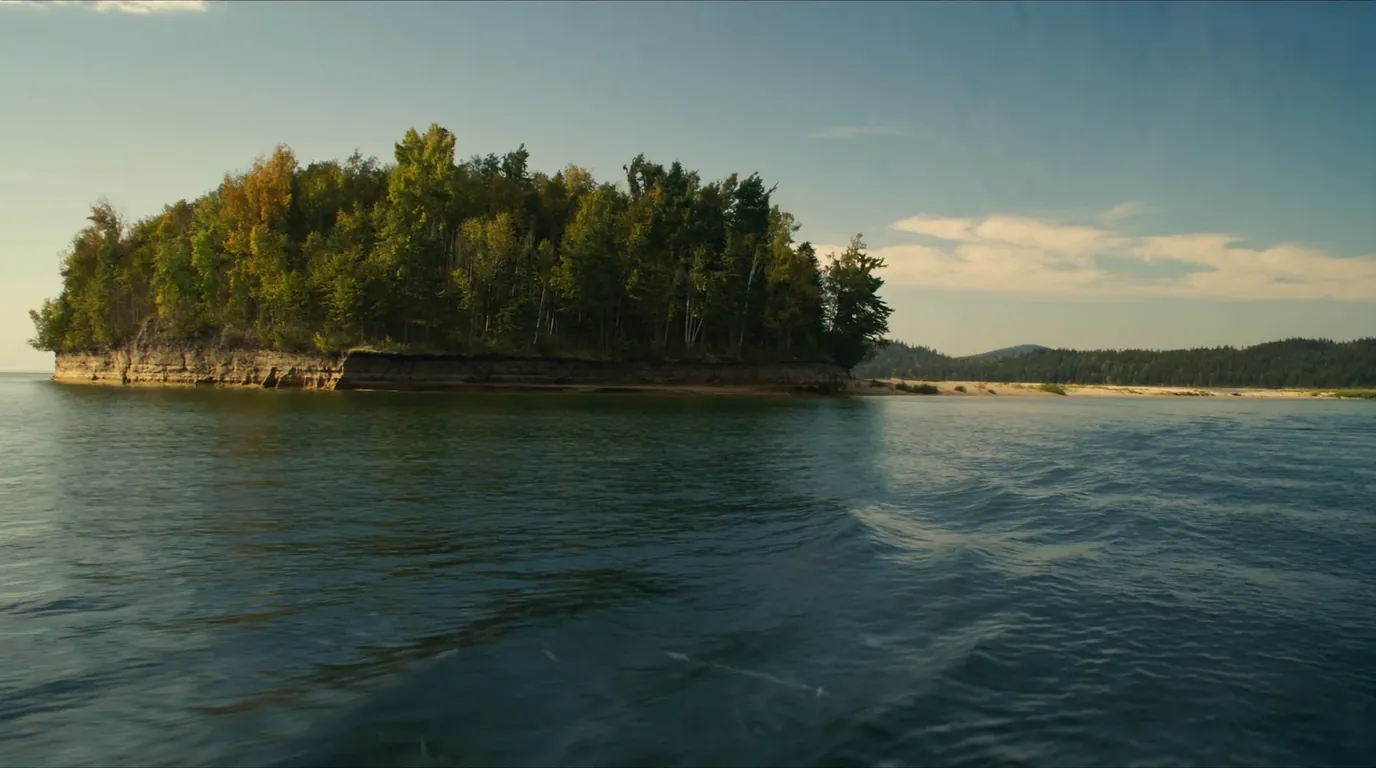
A low wooded island seen across open cold blue-grey Lake Superior water under a wide pale sky, dark spruce and birch on its shore, no buildings anywhere, Apostle Islands Wisconsin, ultrarealistic photograph representative of the region
The view that explains the logistics. Everything in this issue follows from the water in the foreground. The islands look close together on a chart; the gaps between them are open Lake Superior and behave like open ocean.

The famous feature is the sea caves — chambers, arches and undercuts carved into the cliff base at Devils Island, Sand Island and along the mainland shore near Meyers Beach. They are also the clearest illustration of how conditions-dependent this place is. By water they need calm. By ice they need a hard winter and an official declaration that the ice is safe, which does not happen every year.

Set expectations earlyNeither the boat version nor the ice version of the sea caves is something to build a trip around without a fallback. Plan the trip you can definitely have, and treat the caves as the bonus they actually are.
02 / THE BOAT PROBLEM

Solve this before you book anything else

Access is the defining constraint of an Apostles trip and the Park Service is explicit about it: islands are reachable only by sea kayak, motor boat, sail boat, shuttle service or water taxi, and transport must be arranged in advance. Three routes in, and they suit very different people.

Water taxi or shuttle

How most campers arrive, and the right answer for a first trip. Departure and pickup are scheduled — which is exactly why a weather delay strands you.

Confirm the return in writing. The outbound is the easy half.

Sea kayak

The most freedom and by far the most competence required. Crossings between islands are open water, cold enough to be lethal, and subject to weather that changes faster than the crossing takes.

This is not a place to learn.

Private boat

Maximum flexibility, and it puts every anchoring and weather decision on you. Superior at its widest gives you a long way to be wrong in.

A gap we will not paper overWe name no operator. We could not verify current water-taxi operators, schedules or prices to a standard worth printing, so this issue names none. Ask the park, or the Bayfield harbour, and get your return arrangement confirmed in writing before you commit to a date.
The thing that separates an anecdote from an emergencyBuild in a stranded day. If the lake gets up, your pickup does not come. That is not a rare event on Superior; it is a normal part of an island trip. Carry an extra day of food and treat your return date as a plan rather than a promise.

What a landing is actually like

Very little of this coast has a dock. Most island landings are a beach, a shelf of cobble or a shallow ramp of sandstone, and you get out of the boat into the water. That single fact drives a surprising amount of the packing advice later in this issue: everything comes ashore in stages, in your hands, sometimes in surf, and whatever is not in a dry bag is going to find out.

Unloading takes longer than people expect — typically two or three trips up the beach before anything is dry and stacked, and then a carry to a site that may be several hundred metres inland through trees. If a shuttle is dropping you, that clock is running while the skipper waits. Have your load broken into carryable units before you leave the mainland, not after you arrive.

Booking the boat: what to nail down

Whoever you end up travelling with, four things need to be explicit and agreed in advance, and they are the four that go wrong:

The exact landing

Not "the island" — the landing. Several islands have more than one, and they can be a long walk apart with your kit on your back.

The return time and date

Written down, held by both parties. This is the arrangement that most often turns out to have been an assumption rather than a booking.

What happens if the lake is up

Who decides, when they decide, and what the fallback is. Agree it while you are both standing on a dock in the sunshine, not by radio in a rising wind.

Weight and volume limits

Small boats have real limits, and a party that turns up with more than was discussed is a party that leaves something behind.

03 / CAMPING

Thirty days, three price bands, and a bear locker

All camping requires a reservation through Recreation.gov or 715-779-3398, and the window opens thirty days before the start of your trip. Eighteen islands have camping facilities, plus the one mainland site. Three accessible campsites have boardwalks and raised tent pads.

TypeParty sizeFeeWhat you get
Individual campsite1–7$15/nightFire ring, picnic table, bear-proof locker, privy
Primitive zone1–5$15/nightNo amenities — true backcountry
Group site8–21$30/nightAcross five islands · allocated by March lottery
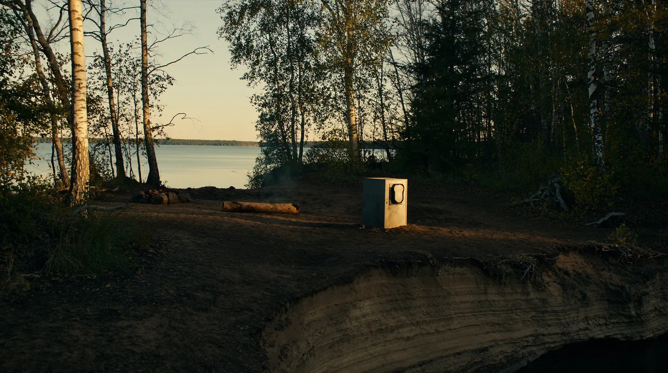
A quiet island campsite in mixed birch and spruce forest with a fire ring, a picnic table and a metal bear-proof food locker, cold Lake Superior water visible through the trees, Apostle Islands Wisconsin, ultrarealistic photograph representative of the region
An individual site. Fire ring, table, privy and a bear-proof locker. Use the locker — the islands have resident bears with long memories, and a bear that gets a food reward is usually a bear that ends up dead.
The booking mistakePrimitive zones are not a cheaper version of the individual sites. Same $15, no amenities, no locker — which means your own food-hanging system and a genuine wilderness standard of self-sufficiency. People book these on price and are surprised.

What island camping changes

You cannot go back to the car for the thing you forgot, and you cannot leave early because you are wet and bored. Water must be filtered or treated from the lake. Fire rules vary by island and season — check when you collect your permit. Everything you bring, including food waste, goes home with you; there is no bin at the dock.

The subtler change is psychological. On a drive-in trip, discomfort is optional — there is always a road. Out here the decision to stay is made once, at the dock, and everything after that is a matter of being equipped rather than being willing. People who enjoy the Apostles are overwhelmingly the ones who accepted that at the point of booking rather than discovering it on the second wet morning.

Choosing between the three types

Take an individual site if…

…this is your first island trip, you are travelling with anyone inexperienced, or you would rather spend the evening looking at the lake than rigging a bear hang.

Fire ring, table, privy and locker for $15. It is the obvious choice and there is no shame in it.

Take a primitive zone if…

…you already camp to a wilderness standard, carry your own food protection, and genuinely want the solitude rather than the idea of it.

Same $15. You are buying emptiness, not a discount.

You are in the group system if…

…your party is 8–21. That is not a bigger booking on the same platform — it is a March lottery for sites across five islands, and it needs planning a season ahead rather than a month.

Accessibility

Three campsites in the lakeshore have boardwalks and raised tent pads. That is a genuine and unusual provision for boat-access wilderness camping, and worth knowing about — but the crossing itself, the landing, and the transfer from boat to shore remain what they are. If accessibility is a factor for your party, the conversation to have first is with the boat operator and the park, not with the reservation system.

04 / THE ISLANDS

Which one, and why they are not interchangeable

Eighteen islands have camping and the choice is mostly about how far you are willing to travel and how exposed you are prepared to be. Below are the ways of choosing that actually matter, rather than a ranking — because the right island depends far more on your boat arrangement and the forecast than on scenery.

Best for a first tripThe nearer islands

Shorter crossings, easier water-taxi runs, and correspondingly busier sites. If this is your first island trip, this is where it should happen.

Busier is relative. Even the popular Apostles sites are empty by the standards of a mainland campground.

Shortest crossingsEasiest shuttleBook earliest
Two nights minimum
Shuttle both ways

CommittingThe outer islands

Longer, more exposed crossings and far emptier ground. The trade is real: a weather delay out here is a longer delay, and the margin you need in food and patience goes up with the distance.

Weather-delay risk scales with distance. Carry the extra day, and mean it.

Exposed crossingsLonger delays if wind-boundEmptiest sites
Three nights or more
Extra food, always
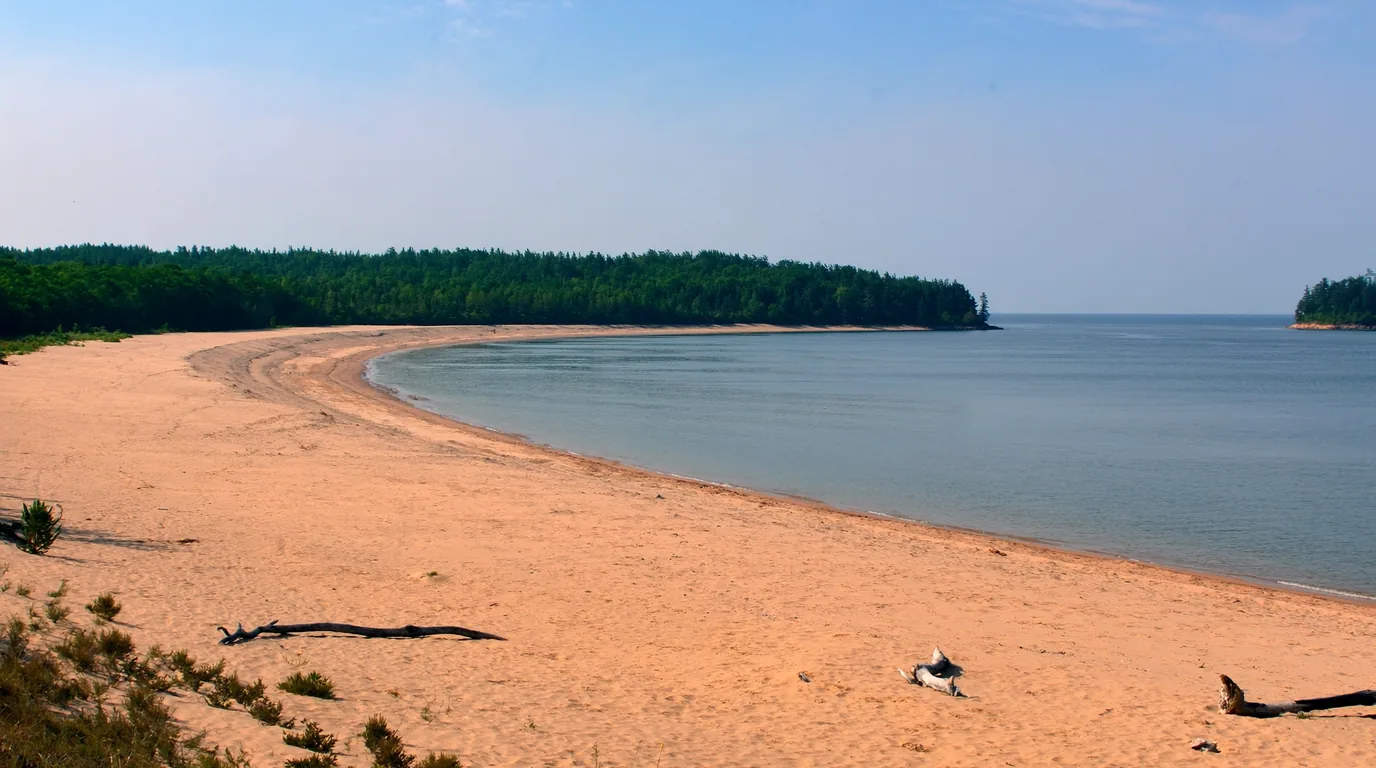
A long empty pale sand beach on a Lake Superior island with clear shallow turquoise water, driftwood at the treeline and dark spruce forest behind, nobody on the beach, Apostle Islands Wisconsin, ultrarealistic photograph representative of the region
The sand nobody expects. Several islands carry genuine sand beaches — pale sand, clear shallow water, and usually nobody on them. Startling on a lake this cold, and the reason people come back.

RareThe old-growth islands

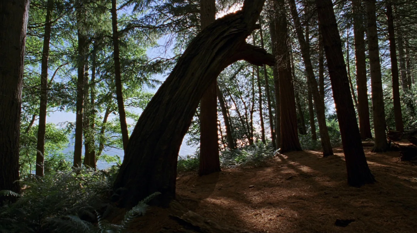
Some of these islands were never fully logged, and carry old-growth hemlock and hardwood that has essentially vanished from the surrounding mainland. Walking under it is the quietest thing in this issue.

Old growthShort walks from the landing
An afternoon
Bring a bug net in June
Tall old-growth hemlock trees on a Lake Superior island with deep shade, a soft needle floor and green filtered light, mossy fallen logs, Apostle Islands Wisconsin, ultrarealistic photograph representative of the region
Never logged. Old growth survives on islands that were too awkward to cut, which is why the Apostles hold forest the mainland lost a century ago.

No boat requiredThe mainland unit

The lakeshore is not only islands. There is a mainland strip with the sea caves at Meyers Beach, a shoreline trail along the clifftop, and the single campsite in the park you can reach on your own legs — by kayak, or by a six-mile walk.

For anyone who cannot arrange a boat, cannot afford one, or has had their crossing cancelled, this is the version of the Apostles that is always available.

The clifftop is undercut. The caves below are cut into the base of the rock you are standing on. Stay back from the edge and off any ground that overhangs.

No boat neededSix-mile walk to the siteUndercut clifftop
A long day, or one night
The reliable fallback

Conditions-dependentThe sea caves by water

The chambers and arches at the cliff base are the park’s signature image, and reaching them by boat needs genuinely calm water — not "looks alright from the car park" calm, but calm enough that reflected swell inside a rock chamber is not a problem.

Guided paddling trips run here precisely because the judgement involved is not obvious to a visitor.

No landings along the cave sections. If it turns while you are in there, you are committed until the cliff ends.

Calm water onlyGuided strongly advisedHalf a day
Weather-window activity
Never a fixed-date plan
If you only read one box in this issueThe honest advice for a first trip. Take a nearer island, a shuttle rather than your own paddle, and two nights rather than one. The Apostles reward the second morning far more than the first afternoon — the first day is spent on logistics whatever you do.
05 / WHAT CAME BEFORE

Brownstone, fish, timber — and why the forest came back

These islands read as wilderness and are nothing of the kind. Almost every one of them was worked hard within the last century and a half, and what a visitor now experiences as remoteness is largely the sound of an industrial landscape that was abandoned and allowed to grow over. Knowing that changes what you are looking at.

Brownstone

The red sandstone that makes the sea caves also made building stone. Island quarries shipped brownstone to the growing cities of the Midwest, and the cut faces and loading points are still findable on some shores.

The same soft, layered rock that split cleanly for a quarryman is what the lake undercuts into caves.

Commercial fishing

Fish camps operated on the islands within living memory, and the fishery shaped the towns on the mainland shore far more than tourism did.

Bayfield is a fishing harbour that acquired visitors, not a resort that acquired boats.

Logging

Most of the islands were cut over. The exceptions — the stands that were too awkward, too steep or too remote to be worth the trouble — are why old growth survives here and not on the mainland behind.

Farming and settlement

There were farms out here, and orchards, and people who overwintered. Clearings that look like natural meadows are frequently nothing of the sort.

The light stations

Built because this scatter of low islands sat across the ore route out of Duluth, and fog and gales did the rest. More on them in the next section.

Why it matters to a camper

Because the ground you pitch on has a history, and because the "wilderness" here is recovered rather than untouched. That is a more hopeful story than the one people usually assume, and it is worth carrying.

A rule people break by accidentLeave the artefacts. Foundations, ironwork, quarry faces and dock cribbing are part of the park and are protected. Look, photograph, and put nothing in a pocket.
06 / WILDLIFE & LEAVE NO TRACE

Bears with long memories, and thin island soil

Islands concentrate everything — the animals, the visitors, and the damage. The wildlife rules here are not box-ticking; they are the difference between a bear that stays wild and one that has to be destroyed, and between a campsite that recovers and one that does not.

What actually matters on the ground
  • Black bears are on the islands, and they can swimPeople assume an island is a bear-free island. It is not. The Apostles have resident bears with long memories for where food has been found before. Individual sites have bear-proof lockers precisely because of this history — use them, every time, including for toiletries and rubbish.
  • Primitive zones have no lockerWhich means you carry and know how to use a hanging system or a hard-sided canister. Do not book a primitive zone assuming you will improvise.
  • The insects are the underrated storyBlack flies from late spring and mosquitoes through midsummer. A head net, treated clothing and a bug-proof tent are not optional in June, and their absence is a large part of what makes early autumn the connoisseur’s season here.
  • Nesting birds and sensitive shorelineSome shoreline and island areas carry seasonal restrictions to protect nesting birds. These are posted and they change; respect what you find rather than what you read last year.
  • The soil is thin and the sites are fixedCamp only on established pads, keep to the trodden line between site and privy, and wash well away from the water. There is very little soil between the moss and the sandstone, and it does not come back quickly.
The one-line versionPack out everything, including food waste. There is no bin at the dock, no bin on the island, and anything organic left behind is a training exercise for the next bear.
07 / THE LIGHTHOUSES

The largest collection in the National Park System

The Apostles carry more historic lighthouses than any other unit of the National Park System. That is not a curiosity — it is a direct consequence of geography. These islands are a scatter of low, hard-to-see land sitting directly across the shipping route between the iron ore of Minnesota and the steel mills of the lower lakes, on the most dangerous freshwater sea on earth.

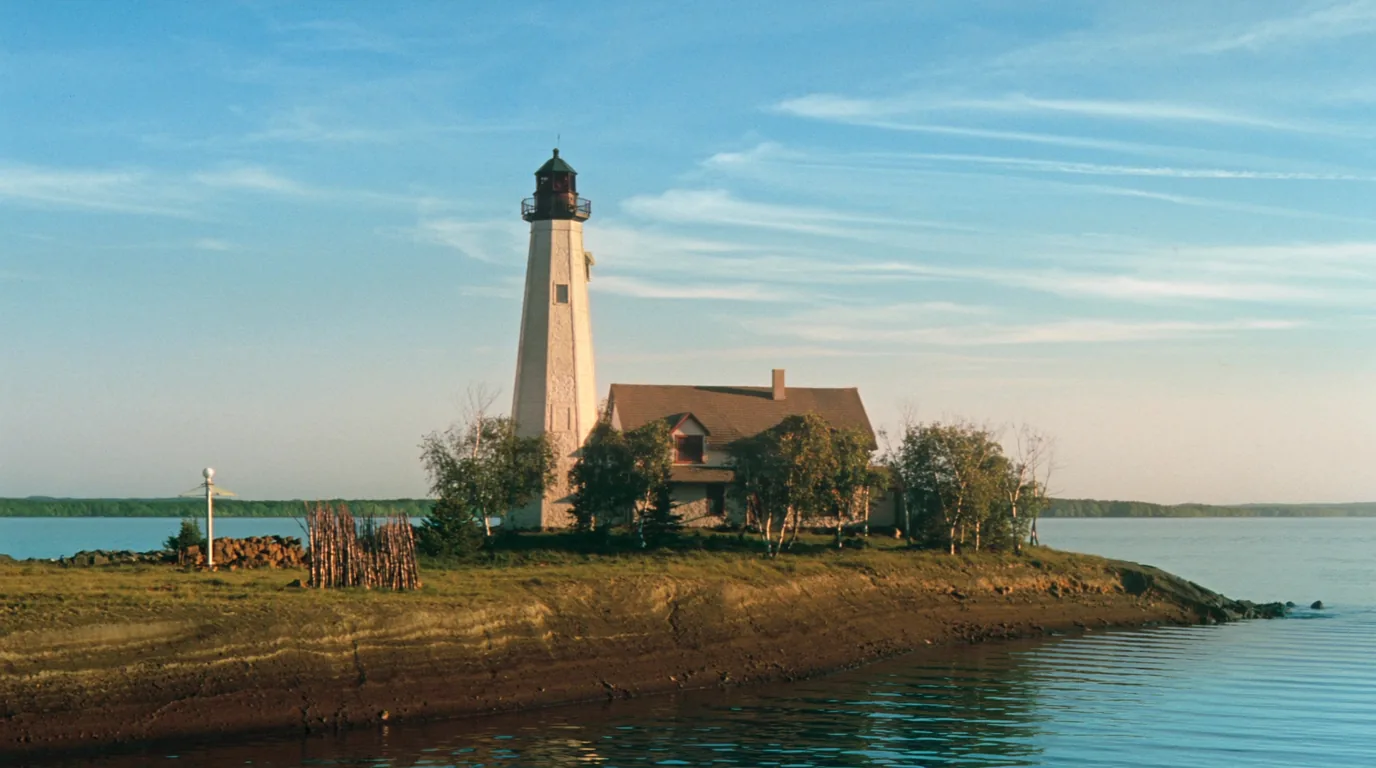
A white nineteenth-century lighthouse tower with a keeper house on a wooded Lake Superior island headland, weathered stone and clapboard, cold blue water and open horizon beyond, Apostle Islands Wisconsin, ultrarealistic photograph representative of the region
Light stations stand on Raspberry, Devils, Michigan, Outer, Sand and Long Islands. Several are open to visitors in season with keepers in residence.

Reaching them is the same problem as reaching everything else here: a boat, arranged in advance. Some are a short walk from a landing; others are the reason to take a longer crossing.

Not confirmedWhich are open, and when, we did not source. Lighthouse opening varies by island and by season and is staffed by people rather than a schedule. Ask the park. This issue names no opening dates.
08 / THE WATER — READ BEFORE YOU GET IN

Superior at its widest, and why the crossings are the risk

The Apostles sit where Lake Superior has the most room to build a sea. This is the section that matters most and the one most likely to be skimmed, so it is short and blunt: the danger here is not distance, and it is not hypothermia. It is the first thirty seconds in the water.

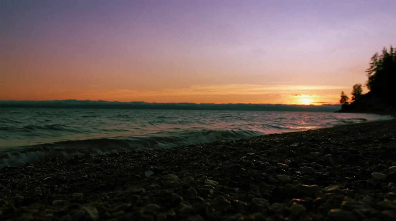
Evening light over a vast expanse of cold Lake Superior seen from a rocky island shore, low gold sun on grey-blue water, dark spruce silhouettes and no far shore visible, Apostle Islands Wisconsin, ultrarealistic photograph representative of the region
No far shore. The horizon in this direction is open lake. That fetch is what turns a calm breakfast into an unpaddleable mid-morning.
The four things that actually go wrong on this water
  • Cold shock, not hypothermia, is the immediate dangerSudden immersion triggers an involuntary gasp. If your head is under when it happens, you inhale water. Superior is cold enough for this in every month of the year, and it kills strong swimmers.
  • Wind builds waves quickly across long fetchesThe gaps between islands are exposed. A crossing that was flat at breakfast can be undoable by mid-morning, and a loaded boat is slow.
  • Fog removes your reference points entirelyBetween low, similar-looking islands, fog takes away the navigation you were relying on. Carry and know how to use a compass and chart.
  • The sandstone shoreline offers few landingsCliff sections have none. There are long stretches where getting out of the water is simply not an option.
Say the quiet partThe honest framing. Kayaking the Apostles is a serious sea-kayaking objective that happens to be in Wisconsin. Guided operators exist here for exactly that reason, and a guided trip is the right answer for most visitors who want to paddle. That is not timidity — it is the correct read of open water on the largest freshwater lake on earth.

Why cold water is different from cold air

Water pulls heat out of a body far faster than air at the same temperature, which is why a lake that feels bracing for the first thirty seconds becomes genuinely dangerous well inside the time most people imagine they could swim for. But the sequence that actually kills starts earlier than hypothermia and is worth understanding as a sequence:

1 — Cold shock

The first minute. An involuntary gasp, a spike in breathing rate you cannot control, and no ability to hold your breath.

This is the phase that drowns people, and it does not care how well you swim. If your head goes under during the gasp, you inhale water.

2 — Loss of use of hands

Within minutes, fine motor control goes. Zips, buckles, deck lines and re-entry techniques all become much harder or impossible.

Whatever your rescue plan is, it has to work with hands that do not.

3 — Hypothermia

The phase everyone names first is actually the slowest of the three. It matters, but the two above will have decided the outcome long before it arrives.

The takeawayWhat this means in practice. Dress for immersion, not for the weather on the beach. Keep your head out of the water if you go in. And make the go/no-go decision on the shore, where you still have hands that work and a brain that is not being told to breathe.
09 / PADDLING PROPERLY

The sea caves are where a mistake costs most

The caves are the reason people bring kayaks, and they are also the single worst place on this coast to get it wrong: undercut cliff with no landing, cold water, and swell that reflects off the rock and comes back at you steeper than it arrived.

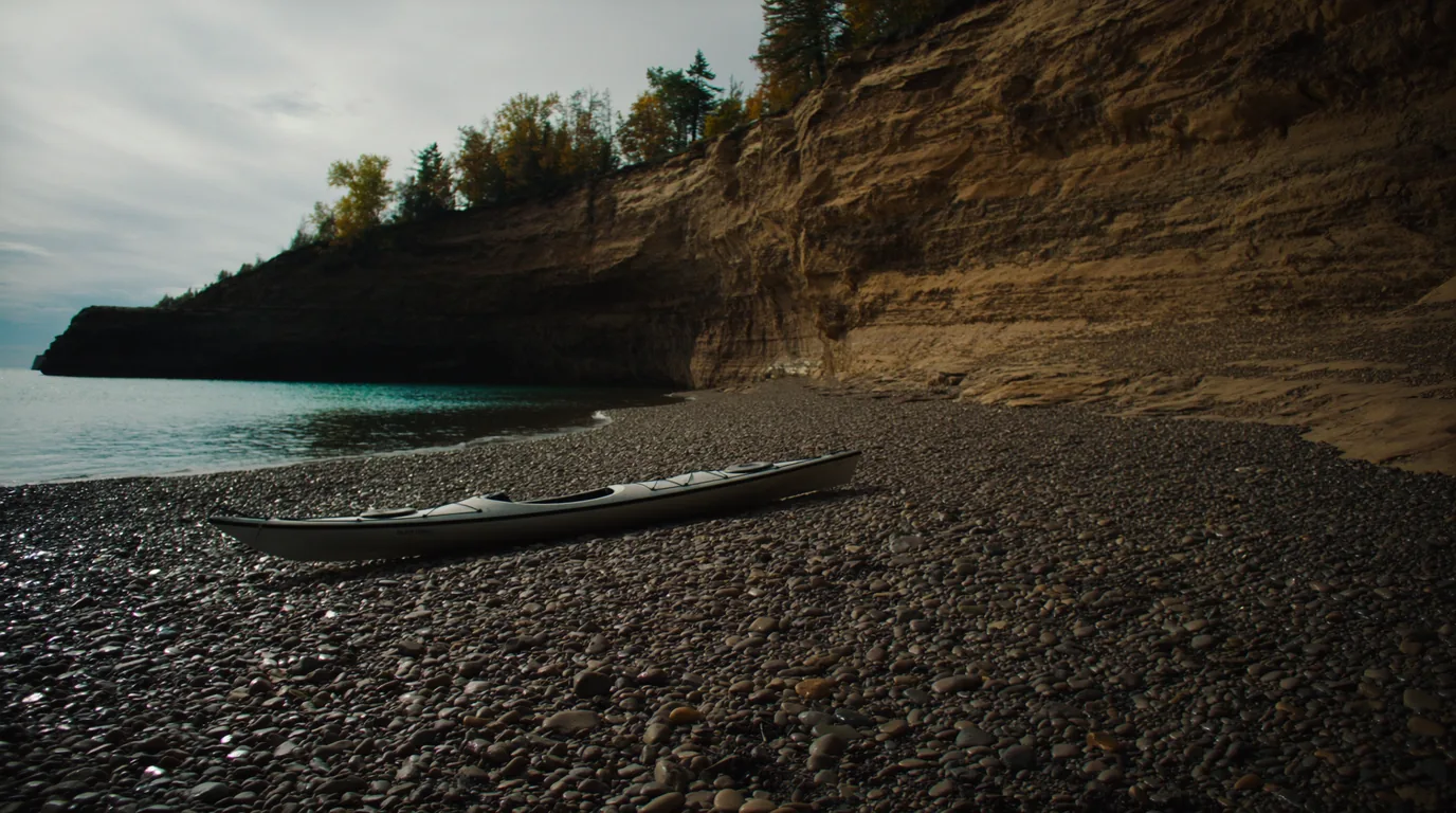
A sea kayak drawn up on a cobble shore beneath layered red sandstone cliffs on Lake Superior, paddle across the deck, calm clear cold water, Apostle Islands Wisconsin, ultrarealistic photograph representative of the region
Cobble landings are the exception, not the rule. Along the cave sections there is nowhere to put a boat ashore for long stretches.

Kit that is not optional

Wet suit or dry suit, spray deck, and either a reliable roll or a partner who can genuinely rescue you.

This is not lake paddling and the gear list is not a lake paddler’s.

Reflected swell

Inside the caves the water is confused and steep even when the open lake looks manageable, because it is bouncing off vertical rock.

Keep this in front of youCold shock is the killer, not distance. Every decision on this coast should be made as though immersion is the outcome you are avoiding — because it is.
10 / THE ICE CAVES

The winter sight that may not happen

In a hard winter the mainland sea caves near Meyers Beach freeze into curtains, columns and chandeliers of ice, and the lake in front of them freezes hard enough to walk on. It is genuinely one of the great winter sights in North America. It is also one of the least reliable.

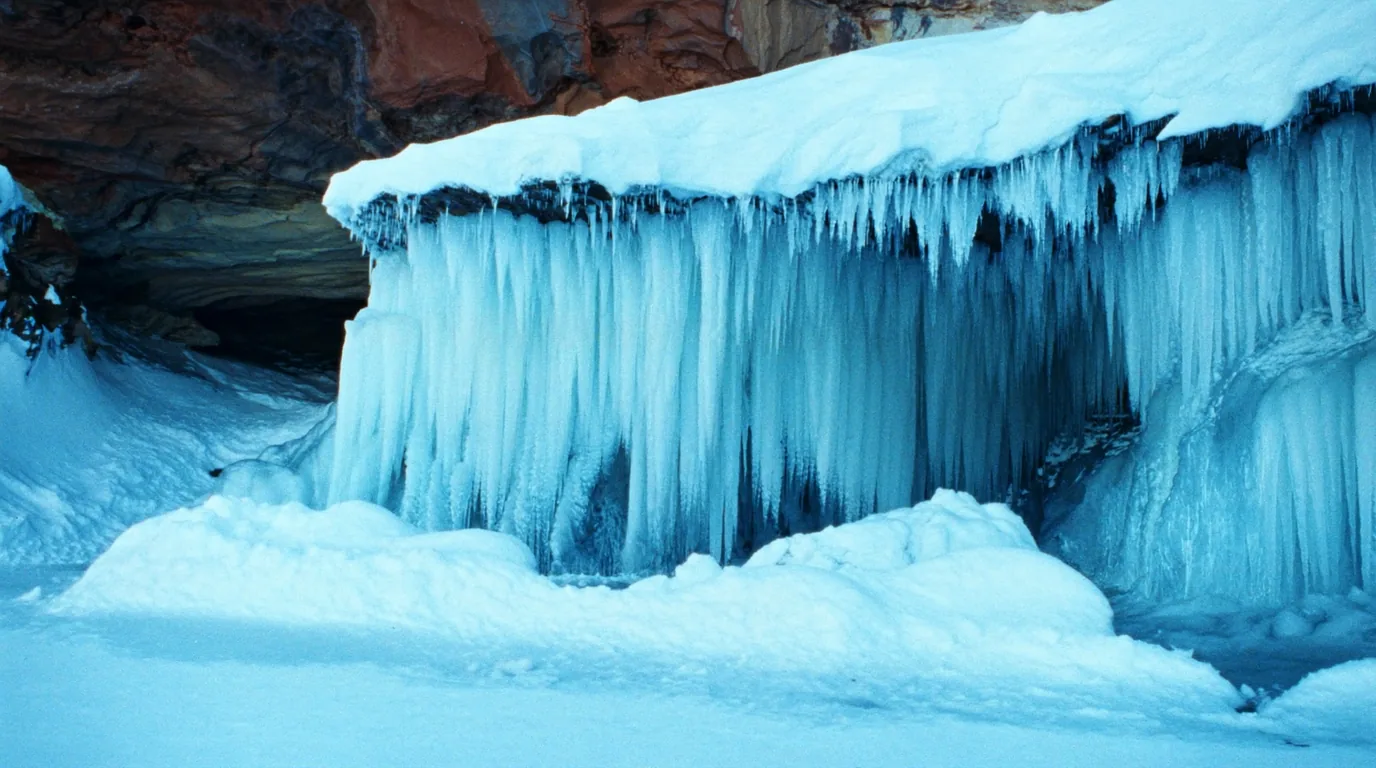
Thick pale blue ice formations, frozen curtains and columns hanging from a red sandstone shoreline cliff above a frozen Lake Superior, snow and low winter light, Apostle Islands Wisconsin, ultrarealistic photograph representative of the region
The years this happens are not most years. Access requires an official declaration that the ice is safe, and there have been long runs of winters with no access at all.
Three ways people get this wrongNever drive here on the assumption. Never walk out on your own judgement. And never trust a social-media photograph from a previous season as evidence about this one — that is the specific mistake that puts people on bad ice.
The other half of the truthIf it is open, expect company. On the rare winters the caves are declared safe the news travels nationally and the car park fills. That is the trade: a spectacular, unreliable, crowded sight — or a quiet drive home.
11 / THE NORTHWOODS

The easy half of this issue

South and east of Bayfield the country turns to lakes and second-growth forest — the Chequamegon-Nicolet National Forest and the belt of Northwoods lake country running on from it. After the logistics of the islands it is a genuine relief: you can drive to a campsite, launch a canoe without a permit, and stop when you feel like it.

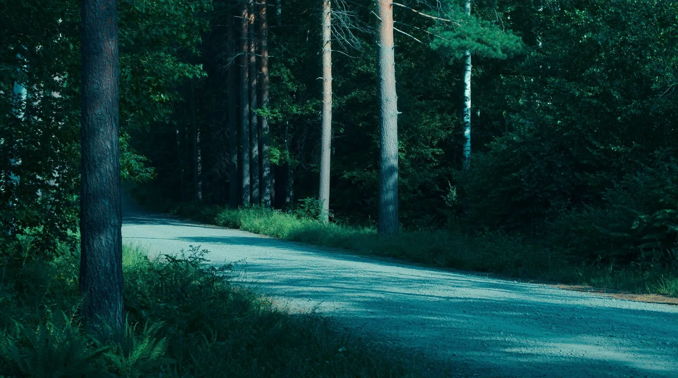
A quiet gravel forest road running through dense green Wisconsin Northwoods, mixed pine birch and maple crowding both verges, dappled light, no traffic, ultrarealistic photograph representative of the region
The pressure valve. When the lake says no — and it will, some days — this is where the trip goes instead.

This is classic Upper Midwest lake camping: small dark waters, quiet county roads, loons, paddling that needs no permit and no weather window, and enough public forest to disappear into for a week. It pairs naturally with the islands. Stage here, take the boat out, come back to a drive-in site and a fire.

The character of the country is different from the shore in a way that surprises people who expected more of the same. Lake Superior is vast, cold and indifferent; the Northwoods are small, dark and close. The water is warm enough to swim in without calculation. The lakes are ringed with pine, birch and maple rather than exposed rock, and the sound at night is loons and wind in needles rather than surf. Forty minutes inland is a genuinely different holiday.

Ownership is a patchwork — and it matters

National forest, state forest, county forest and private land interleave here with very little on the ground to tell you which is which.

Dispersed-camping rules differ between all four, and so do fire rules. Know whose land you are on before you decide to stop somewhere that is not a campground.

Bookings are not one system

Federal sites, state parks and county forests each run their own reservation platform and their own seasons. There is no single place to look, which is the most common source of frustration for visitors arriving from a national-park habit.

Paddling without permission

After the Apostles this is the pleasure: put a canoe on a small lake, go, come back. No permit, no quota, no window, no shuttle. For a lot of people it ends up being the part of the trip they talk about afterwards.

Fire, and the exception

Campfires are a normal part of Northwoods camping in a way they are not on the islands — but restrictions appear in dry spells and they are posted rather than published in advance. Check locally on the day.

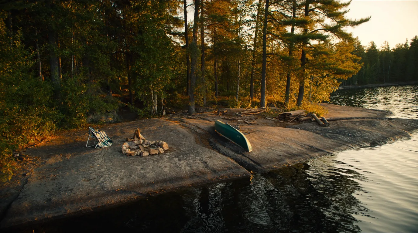
A calm small Northwoods lake at golden hour ringed with pine and birch, a canoe drawn up on the shore, still reflective water and no development on the far bank, northern Wisconsin, ultrarealistic photograph representative of the region
The antidote. A small lake, a canoe, no permit and no schedule — the correct ending to a week of logistics.
An honest boundaryWhat this issue does not print. Site counts, fees and season dates for individual Northwoods campgrounds. Forest Service pages return HTTP 403 to automated retrieval, and the Wisconsin state and county systems each have their own booking rules. The Trekkr campground directory carries the Wisconsin records — use it for specifics rather than trusting numbers we could not verify.
12 / TOWNS & SERVICES

Bayfield, and the island that is not in the park

Everything here starts at Bayfield: a small harbour town on the peninsula tip, and the place your boat leaves from whatever kind of boat it is. It is also the last place to buy the thing you forgot.

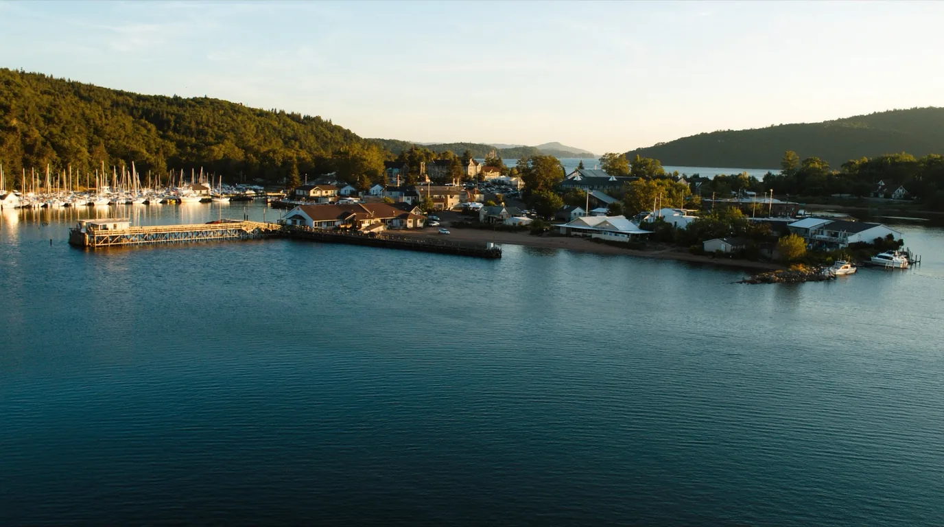
A small Great Lakes harbour town waterfront with moored sailboats and fishing boats, clapboard buildings on a hillside above the docks, cold blue Lake Superior beyond, Bayfield Wisconsin, ultrarealistic photograph representative of the region
Bayfield. Boat arrangements, last supplies, and the ferry dock for Madeline all sit within a few streets of each other.

The fallback that saves a tripMadeline Island

Madeline sits offshore and is the exception to every rule in this issue — it is the one Apostle that is not part of the National Lakeshore. It has a car ferry, it has a town, and it has a Wisconsin state park with drive-in camping.

If the lake is up and your water taxi cancels, or you could not get a permit inside the thirty-day window, the car ferry still runs and there is camping at the far end of it. Worth knowing before you drive five hours.

Not confirmed here: ferry schedules, seasons and fares, and the state park’s camping fees. Both sit outside the National Lakeshore system this issue documents.

Car ferryDrive-in campingFees not sourced
The plan B
Check ferry season first

Supplies, fuel and the last of everything

The Bayfield Peninsula is a long, thin, sparsely served finger of land, and the further out you go the fewer options there are. Treat the larger towns on the way north as your real shopping stop and Bayfield as the place you buy the thing you forgot rather than the place you provision from scratch. Out-of-season the hours thin dramatically.

Fuel

Fill before you commit to the peninsula, and again before you head inland into the Northwoods. Stations are sparse and the hours are short outside the summer season.

Signal

Patchy on the peninsula and effectively absent offshore and across much of the forest. Download maps and confirmations before you leave a town.

Cash and cards

Assume neither is universal at small operators and ferry docks out of season. Carrying some cash removes a whole category of problem.

Ice and perishables

For an island trip, plan food that does not need a cooler after day one. The lake is cold but it is not a refrigerator, and a warm cooler is dead weight in a small boat.

13 / PACKING FOR AN ISLAND

What changes when you cannot go back to the car

Island camping is not backpacking and it is not car camping. Weight matters less than it does on a trail — the boat carries it — but completeness matters more than in either, because a forgotten item cannot be replaced and a broken one cannot be swapped. Pack as though the dock is a one-way door, because for the length of your trip it is.

Waterproofing, twice over

Everything gets loaded and unloaded at a wet landing, often in surf, sometimes in rain. Dry bags inside the pack, not a cover over the outside of it.

Assume at least one bag will end up briefly in the lake, because eventually one will.

The extra day of food

Non-negotiable. Your pickup is a scheduled service on a lake that cancels it. Carry a day beyond your planned return, in food that needs no cooking if the stove has also had a bad week.

Water treatment

There is no potable supply on the islands. Filter or treat from the lake. Carry a backup method — chemical tablets weigh nothing and cover a failed filter.

Wind and wet layers

Superior generates its own weather and the temperature offshore is not the temperature in Bayfield. A genuine windproof shell matters more here than an extra fleece.

Communication, honestly assessed

Signal is unreliable to absent. If your plan depends on being able to phone the water taxi to say you are running late, your plan has a hole in it. Agree contingencies before you leave the dock.

A repair kit for the boat you came in

If you paddled or sailed yourself, the nearest chandlery is a crossing away. Tape, cord, a spare paddle and the ability to improvise are part of the trip, not an afterthought.

Ten minutes that saves a tripThe packing test. Lay it out and ask, item by item: if this failed on night two, what would I do? Anything with no answer is either a spare you need or a plan you need to change.
14 / TIMING

A summer proposition, with one unreliable winter alternative

The islands are a summer trip for almost everyone. The table below is the honest shape of the year — note that the one row people most want to plan around is the one that cannot be planned.

WindowWhat you getWhat it costs you
Late springQuiet islands, high water in the NorthwoodsVery cold lake; unsettled crossings; the insects begin
SummerWarmest water, most reliable crossings, everything runningBusiest — and the thirty-day window means booking close in
Early autumnColour through the Northwoods, no insects, quieter waterShorter days; weather windows narrowing
WinterThe mainland ice caves, in the years they are safeRequires an official declaration the ice is safe. Does not happen every year and must never be assumed
The gap, restated where it mattersSeason dates not printed. The National Park Service camping page for this lakeshore does not state a camping season, and we would not infer one. If your trip is at either edge of the year, confirm with the park before booking transport.

How the thirty-day window changes planning

Almost every planning habit a North American camper has was built on a six-month booking horizon: pick the dates in winter, book the site, build the trip around it. None of that works here, and trying to force it is the single largest source of frustration with this park.

What works instead is to invert the order. Book the time off and the travel first, arrange the boat as early as the operator will take it, and accept that the campsite itself is confirmed inside the final month. That feels wrong, and it is genuinely uncomfortable for anyone travelling a long way — but it is how the system is built, and the practical consequence is that the Apostles stay far more available to spontaneous travellers than the six-month parks ever are.

The upside nobody mentions

You can decide to come here six weeks out and still get a site. Try that at a park with a six-month window and a summer weekend.

The downside, plainly

You cannot lock the whole trip down in advance, and if you are flying in or travelling internationally the uncertainty lands entirely on you.

The group exception

Parties of 8–21 go the other way: a March lottery, decided long in advance. If you are organising a group, you are on a completely different timeline from everyone else in this section.

15 / THE SHAPE OF THE TRIP

Five days, sequenced so the boat comes first

One workable shape, not the only one. It is built around the two things that actually constrain an Apostles trip — the boat and the thirty-day window — and around the fact that you should have somewhere to go on the day the lake says no.

Before you go

Boat arranged, outbound and return, in writing. Then the campsite, inside the thirty-day window. In that order, always.

Day 1 — Bayfield

Arrive, confirm the boat, buy what you forgot. If the lake is up and everything is cancelled, the Madeline ferry is your fallback.

Days 2–3 — an island

Out to a nearer island for two nights. Use the bear locker. Carry a spare day of food against the pickup not coming.

Day 4 — back and inland

Return, then drive south into the Chequamegon. A drive-in site, a fire, and nothing that needs booking.

Day 5 — Northwoods

A small lake, a canoe, no permit, no schedule.

If you only have two days

Do not attempt an island. Meyers Beach and the mainland shore, then the Northwoods. The islands are not a day trip and treating them as one is how plans fail.

16 / TRIP-READY

The departure check

Run it before you leave. These are the items specific to the Apostles that a general camping habit will skip — and most of them come back to one thing: the boat is the trip.

Seven things that actually go wrong here
  • Boat arranged first — outbound and return, confirmedIn writing. The outbound is the easy half; the return is the one that strands people.
  • Campsite reserved inside the thirty-day windowNot six months. Thirty days from the start of the trip.
  • Group trip? That is the separate March lotteryParties of 8–21 do not use the standard system at all.
  • Extra day of food, against a weather-stranded pickupThe single most-skipped item, and the one that turns a bad day into a safe one.
  • Bear locker used at individual sitesAnd a hanging system carried for primitive zones, which have none.
  • Crossing competence honestly assessed if paddlingSuperior at its widest is open water. Guided is not a lesser trip.
  • Season confirmed with the park if travelling at the edges of the yearBecause this issue could not print one.
17 / QUICK ANSWERS

Asked on the Bayfield dock

Six questions we hear at the harbour, answered straight, with the hedge left in where the honest answer has one.

Can I drive to a campsite?

No. There is no vehicle camping anywhere in the lakeshore. One mainland site is reachable on foot via a six-mile trail; everything else needs a boat.

Why can’t I book six months ahead?

Because the window is thirty days from the start of your trip. The system is not broken; it opens late by design.

What does a site cost?

$15 a night for an individual site (1–7) or a primitive zone (1–5). Group sites are $30 a night for 8–21 and go through a March lottery.

Are the ice caves reliable?

No. They require an official declaration that the ice is safe, which does not happen every winter. Never assume access.

Which water taxi should I use?

We do not name one — we could not verify current operators or prices. Ask the park or the harbour, and get your return in writing.

Is a bear locker really necessary?

Individual sites have them and you should use them. Primitive zones have none, so you carry your own system.

18 / WHAT WE COULD NOT CONFIRM

The honest gaps, all in one place

Every guide has these; most do not print them. Compiled late July 2026.

Five things this issue refuses to guess at
  • Camping season datesThe NPS camping page does not state them and this issue invents none.
  • Water taxi and shuttle operators, schedules and pricesNot sourced to a standard worth printing; none named.
  • Wisconsin Northwoods campground specificsForest Service pages return HTTP 403 to automated retrieval, and the state and county systems were not individually sourced for this issue.
  • Which five islands hold the group sitesThe count is sourced; the identities are not.
  • Ice cave accessInherently year-by-year and not plannable from any guide, including this one.
The one to act onWhy the season gap matters more than the others. Most parks state a camping season plainly. This one did not on the page we could read — and guessing would put someone on a dock in a month the system is closed.
🔒

The printable field guide

Everything above, condensed into a print-ready PDF built for the glovebox — for a coast where the towns are a tank apart, the cell signal disappears for hours, and the lake is cold enough to kill. The fuel-gap plan mapped town by town, the two anchor parks and the corridor's provincial parks, the pictographs, beaches and waterfalls, the cold-water and backcountry rules, the campgrounds by area with honest UNVERIFIED flags, the outfitters and fuel towns, and the honest list of what nobody could confirm — on paper that works where the bars don't.

The fuel gap, mapped Lake Superior PP & Pukaskwa Pictographs, beaches & falls Cold-water & backcountry rules Campgrounds by area Fuel towns & outfitters Fuel-planned routes The departure check
Unlock the PDF — $4.95
$4.95 per guide · Instant access · Built by people who actually camp there
Trail Journal No. 074

Go farther. Camp lighter.
Leave it better.

Every Trekkr Trail Journal is built like this one: custom logistics, honest trail beta, the camping and access detail, and the local knowledge that turns a good trip into the one your crew talks about for years — including, always, a plain list of what we could not confirm. New destinations drop all season long, from the Colorado Rockies to the Utah canyons to the wild Great Lakes shield.

Unlock the Trail Journal Library
↗ Read another issue — No. 051, Grand Canyon National Park
$4.95 per guide · Instant access · Built by people who actually camp there