Quick Answer
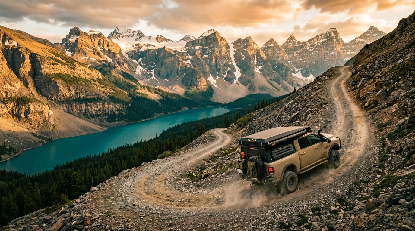
The best Canadian Rockies overlanding happens on public land beside the national parks: Kananaskis and the Ghost for accessibility, the Bighorn backcountry for remoteness, Crowsnest and the Castle for history, and BC's Kootenay forest service roads for hot springs and high passes. Ten of our 25 picks suit any SUV; the rest reward a built 4x4. Prime season is late July to mid-September.
Ask ten Alberta overlanders for their favourite trail and you will get thirty answers, two arguments, and at least one campfire that burns past midnight. The Canadian Rockies and their foothills hide more legal, drivable backcountry than almost anywhere in North America — but the best routes are scattered across forestry trunk roads, public land use zones, and BC forest service roads that never show up on a highway map. This list pulls 25 of them into one place, grouped by region, so you can build a season out of it.
One honest note before the list: the national parks themselves (Banff and Jasper) do not allow off-pavement travel. The overlanding happens in the front ranges, the Kananaskis and Ghost public land zones, the Bighorn backcountry, and the BC valleys one range west. That is not a consolation prize — it is better, because you can camp beside your rig.
Kananaskis & The Foothills South
- Powderface Trail — The classic Kananaskis gravel traverse. Easy, stunning, and the right shakedown for a new rig.
- Smith-Dorrien / Spray Trail — A wide gravel highway through 3,000-metre peaks past Spray Lakes. Easy, all-season access varies.
- McLean Creek OHV Zone — Alberta’s sandbox. Everything from family gravel to axle-deep ruts. Easy to hard, your choice.
- Sibbald / Dawson Trail Network — Rolling foothills two-track with big Bow Valley views. Moderate.
- Elbow Falls & Prairie Creek Loops — Short, scenic, and perfect for a first overnight. Easy.
- Highwood Junction & Cataract Creek — South Kananaskis backroads with fantastic random camping. Easy–moderate.
Ghost, Waiparous & The Forestry Trunk Road
- Waiparous Valley Road — Gateway to the Ghost. Gravel in, rock crawl options deeper. Moderate.
- Ghost River Valley — River crossings, canyon walls, and the Rockies filling your windshield. Moderate–hard depending on water.
- Forestry Trunk Road (Hwy 734) North — The spine of Alberta overlanding. Hundreds of kilometres of gravel linking everything on this list. Easy.
- Ya Ha Tinda Road — Ends at a working mountain horse ranch surrounded by peaks. Easy, wildlife everywhere.
- Cutoff Creek & Eagle Lake — Quiet two-track south of the Red Deer River. Moderate.
Nordegg & The Bighorn Backcountry
- Hummingbird Creek Route — The Bighorn’s signature trip: creek crossings and alpine meadows. Moderate–hard.
- Onion Lake Trail — High, remote, and gorgeous. Snow lingers late. Hard.
- Blackstone Gap — Wide-open gap country where the prairie punches into the Rockies. Moderate.
- Abraham Lake Shorelines — Legendary blue water and winter methane bubbles; stick to designated access. Easy.
- Cadomin & Grave Flats Road — Coal-country pass linking Hinton country to the Cardinal Divide. Moderate.
Crowsnest & The Castle
- Lynx Creek & Carbondale Loops — Castle region camping at its best. Easy–moderate.
- Atlas Road / Ptolemy Area — Crowsnest Pass mining history with serious viewpoints. Moderate.
The BC Side: Kootenays & Columbia Valley
- Flathead Valley FSR — Often called the wildest drainage in southern Canada. No services, all grizzly country. Moderate.
- Bull River FSR — Emerald river, endless spurs, classic Kootenay camping. Easy–moderate.
- Whiteswan / Lussier Hot Springs FSR — Industrial gravel to natural riverside hot pools. Easy; watch for logging trucks.
- Gray Creek Pass — One of the highest drivable passes in the country, Kootenay Lake to St. Mary Valley. Hard, late season only.
- Findlay Creek & Whitetail Lake — Columbia Valley honey hole with lake camps. Moderate.
- Toby Creek / Paradise Mine Road — Climbs from Invermere toward old silver workings above treeline. Hard.
- Bush River FSR (Golden North) — Remote Kinbasket Lake country that feels like the edge of the map. Moderate, long-haul fuel planning required.
How To Run This List Responsibly
Every route above crosses public land that stays open only as long as we treat it well. Pack out everything, respect seasonal closures (they protect calving elk and grizzly corridors, not bureaucrats), buy your Kananaskis Conservation Pass and Public Lands Camping Pass where required, and check Alberta Public Lands and BC Forest Service bulletins the week you leave — wildfire and washout closures change monthly. Cell coverage is zero on most of these; carry a satellite communicator and tell someone your route.
Frequently Asked Questions
Do I need a permit to overland in the Canadian Rockies?
On the Alberta side you need a Kananaskis Conservation Pass for K-Country and a Public Lands Camping Pass for random camping on public land along the Eastern Slopes. BC forest service roads are generally free to travel and camp on designated sites. National parks do not permit off-pavement travel at all.
What is the best month for overlanding the Rockies?
Late July through mid-September is the sweet spot: high passes are snow-free, river crossings are down from spring melt, and fire bans are the main variable to watch. Low-elevation forestry roads open as early as May.
Can I run these trails in a stock 4x4?
About ten of the 25 are graded gravel any SUV can handle. The moderate tier wants a true 4x4 with all-terrain tires and decent clearance. The four hard routes reward low range, recovery gear, and a travel partner.
Is there cell service on these trails?
Mostly no. Coverage dies within minutes of leaving Highway 1, 3, or 93. Carry a satellite communicator like an inReach or a phone with satellite SOS, and download offline maps before you leave pavement.
Gear up for the next one.
Rigs, trailers, tents, and trail-proven gear from the Trekkr community. Direct from seller, no commission.
Browse the Marketplace